Peru: Lima and Northern Peru - Nov/Dec 2017
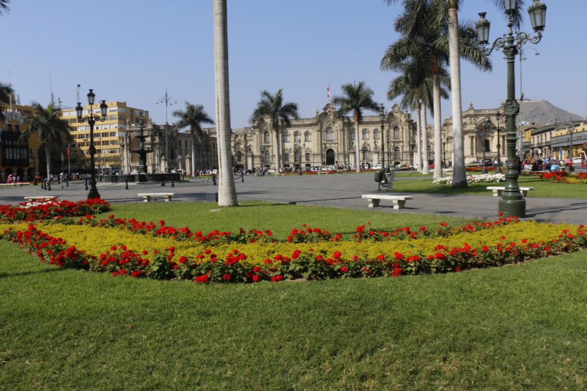
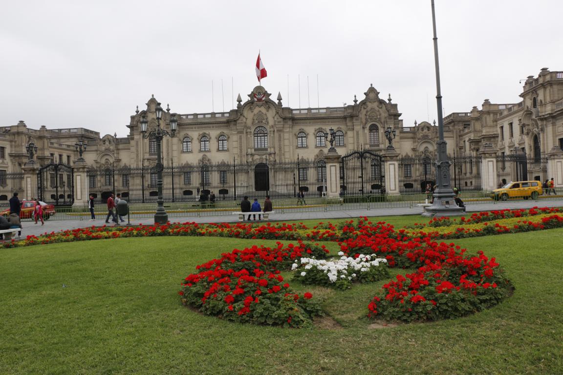
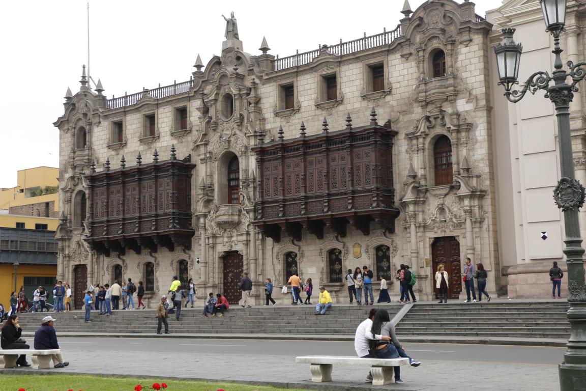
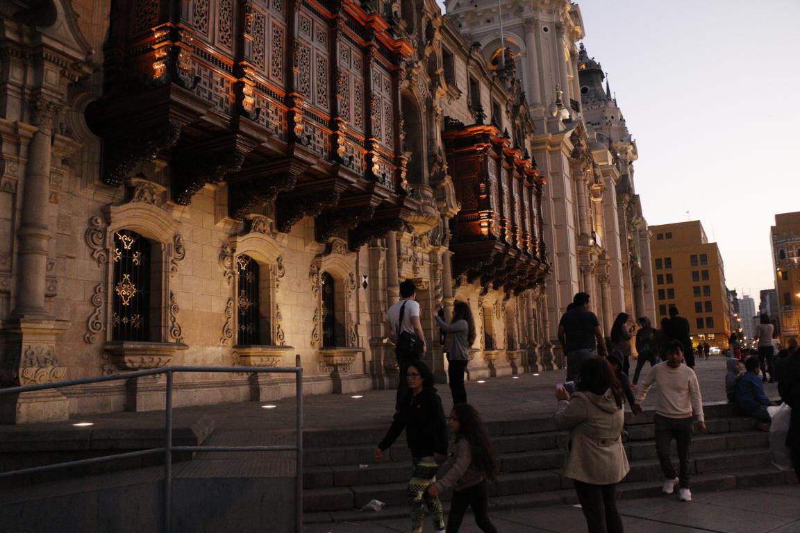
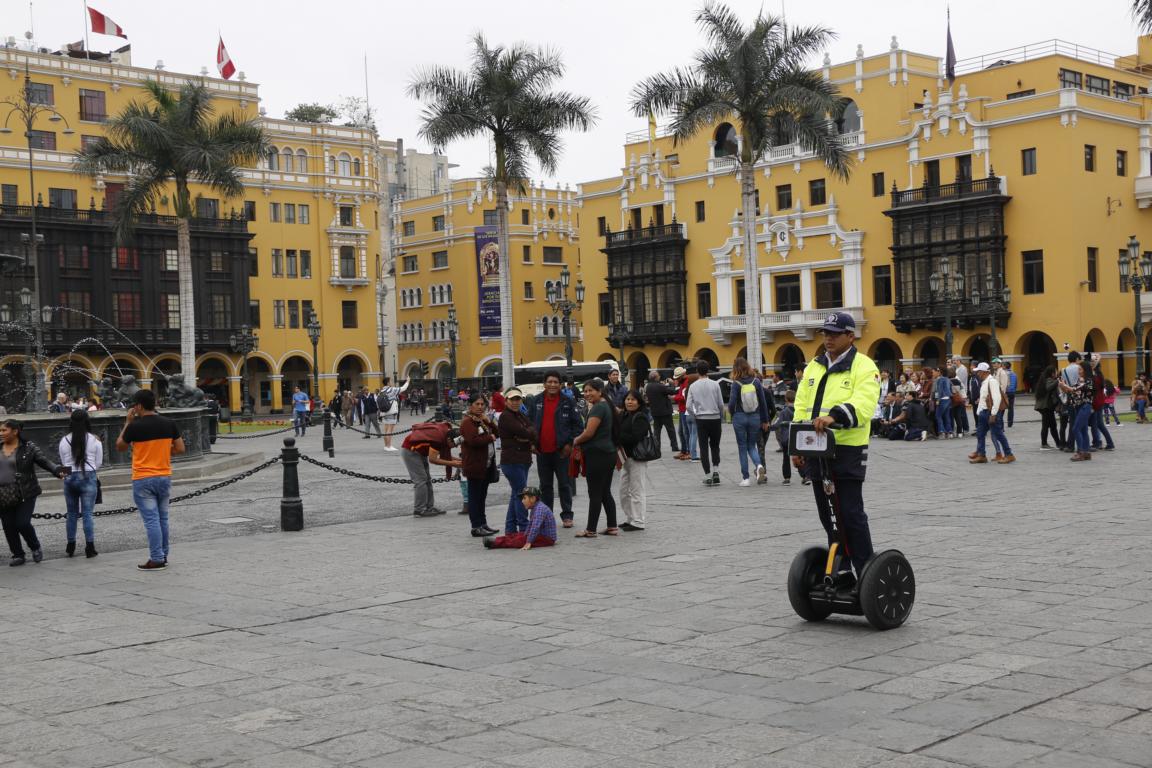
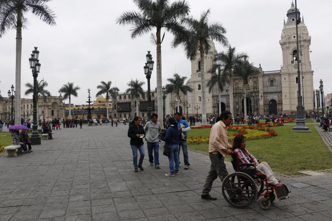
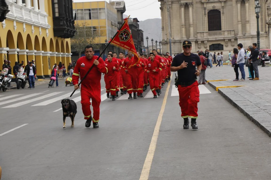
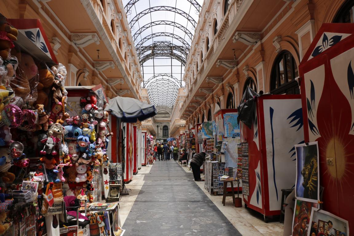
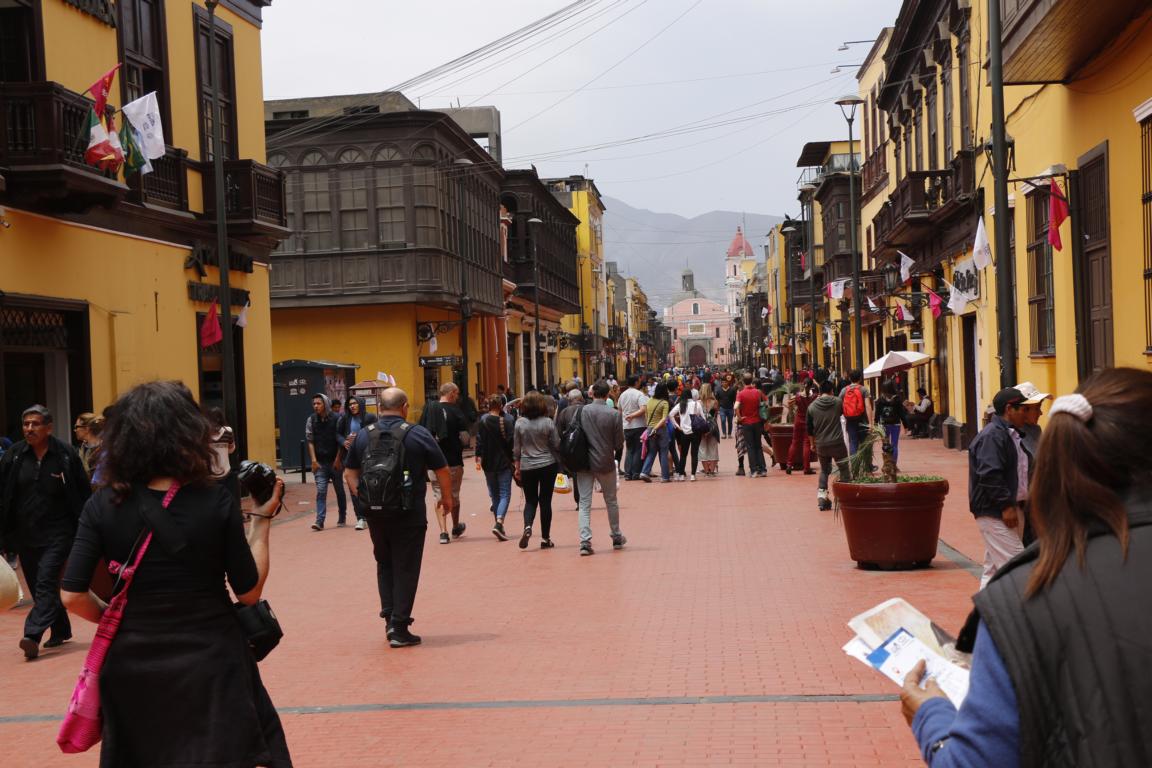
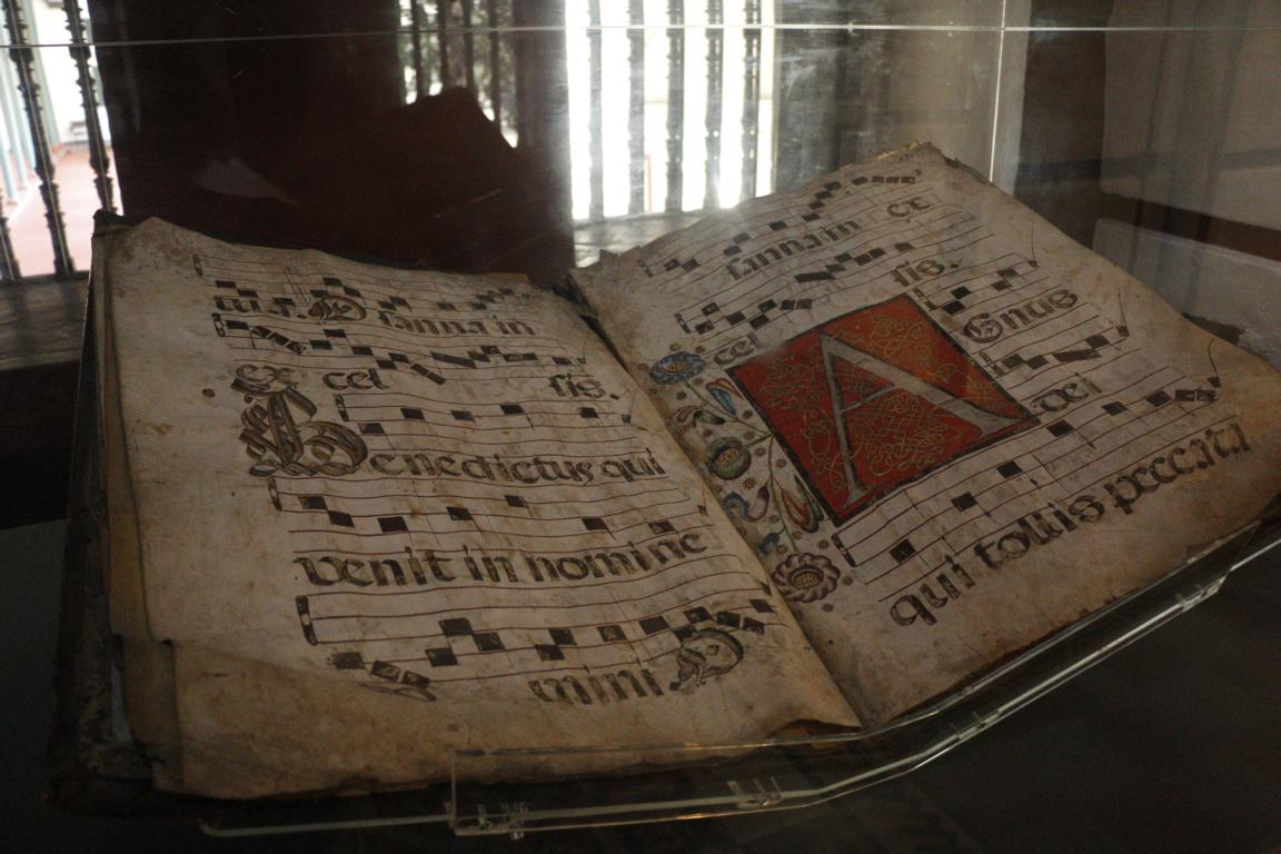
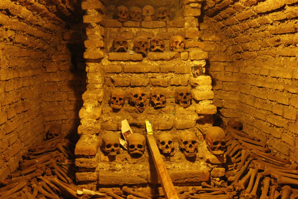
With 1,285,216 km2 Peru is more than three times the size of Germany. Nearly one third of Peru’s 32.35 million citizens live in the capital Lima. While parts of the town suffer from a high crime rate other areas, e.g. Mira Flores, are quite safe. Pictures show the town center, the Plaza de Armas, the Presidential Palace, the catacombs, and the beach front.


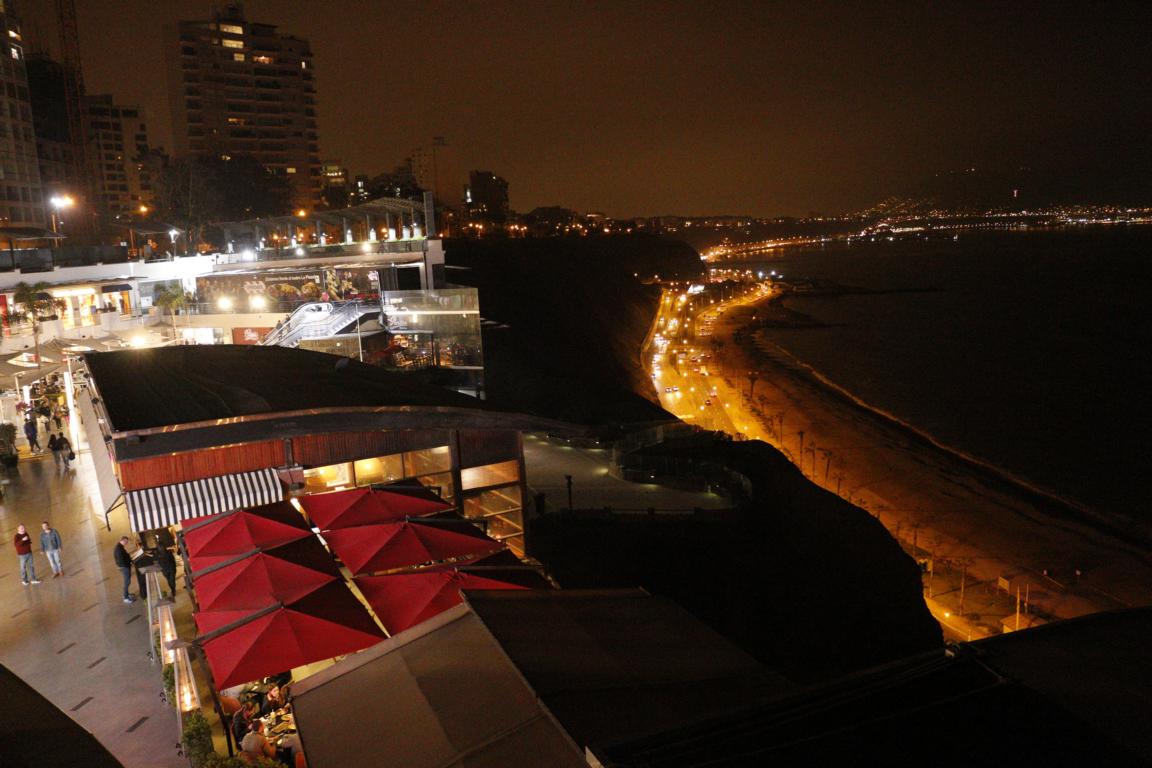
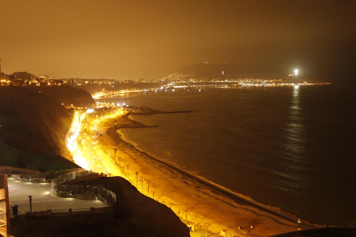
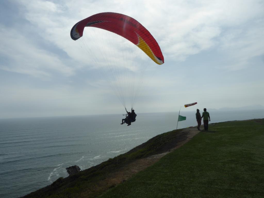
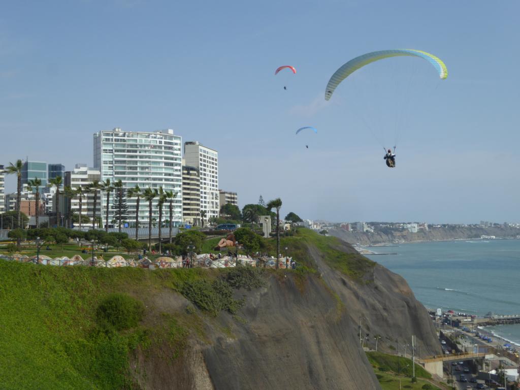
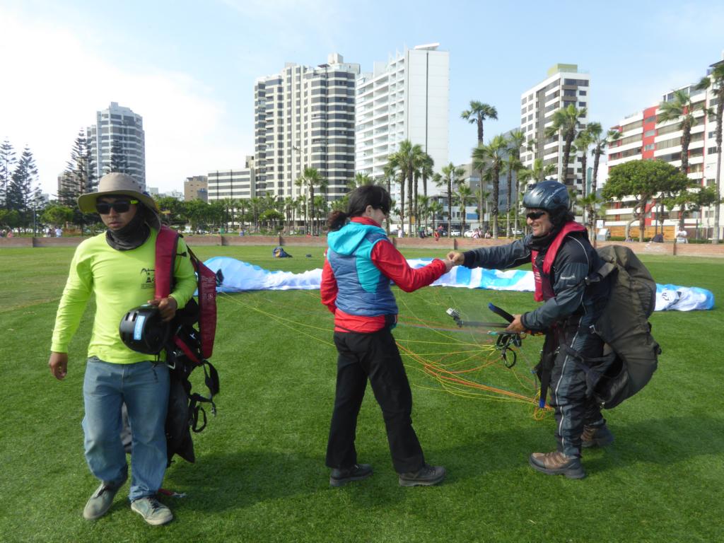
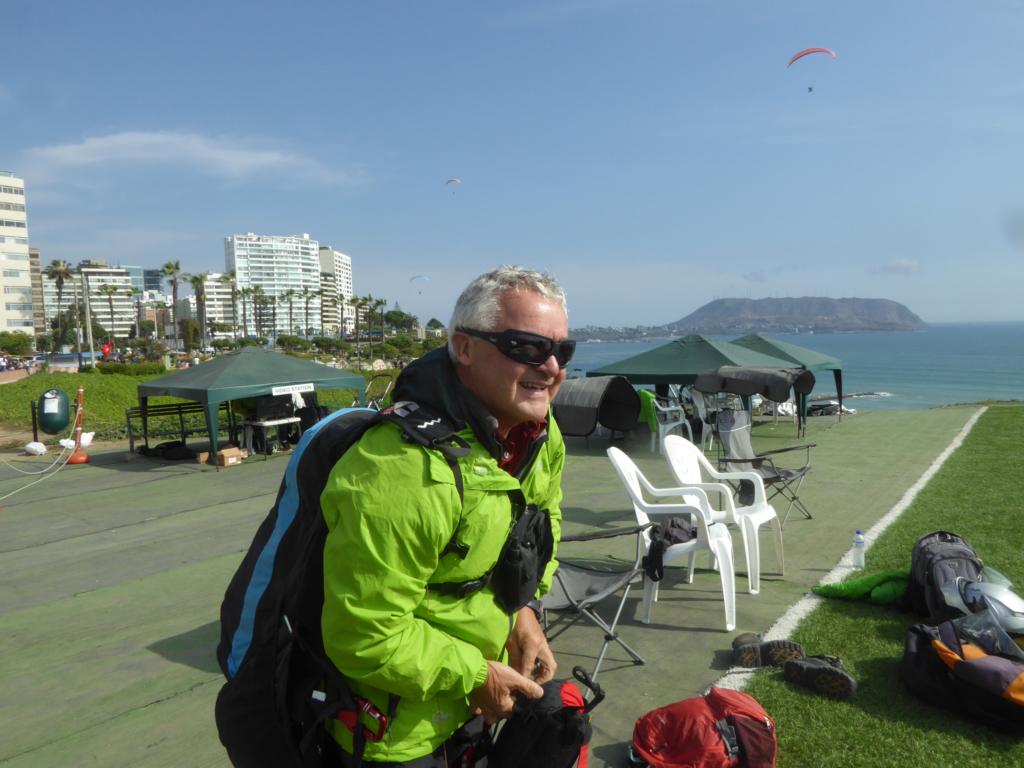
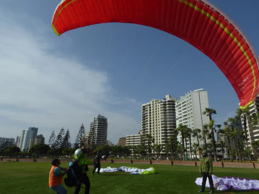
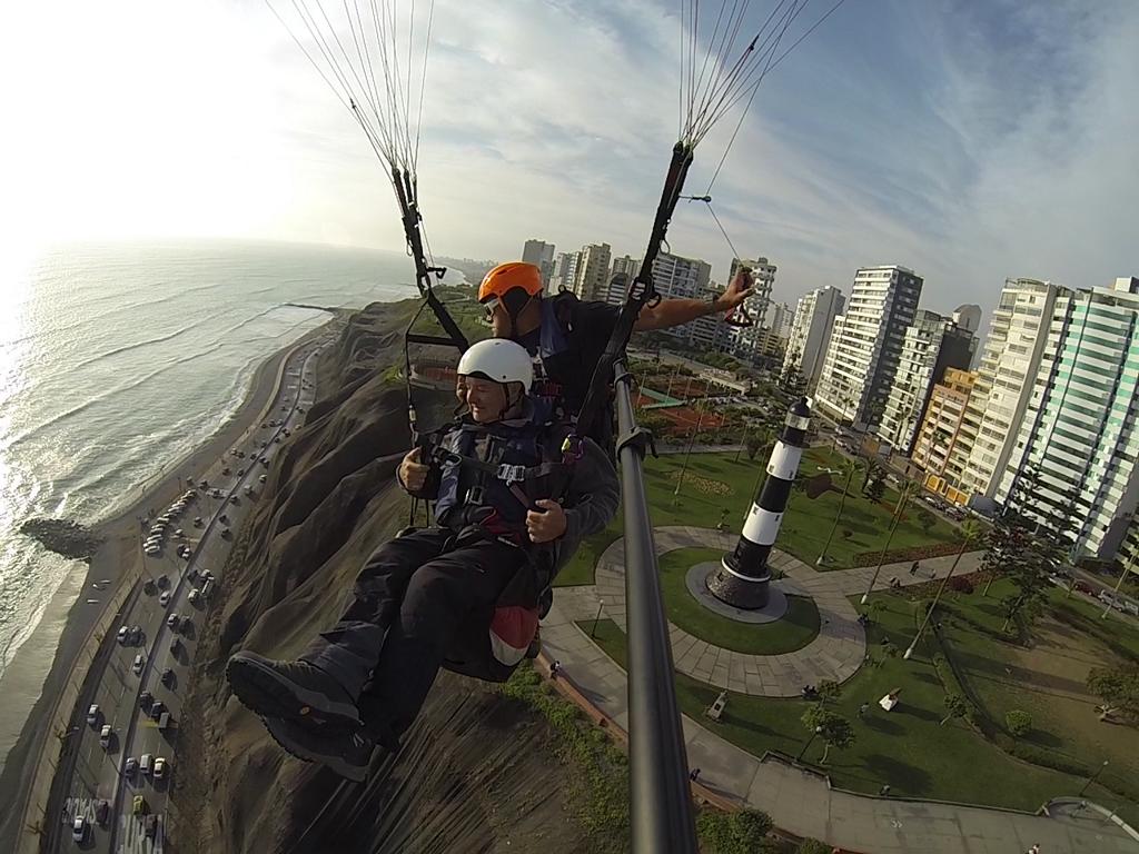
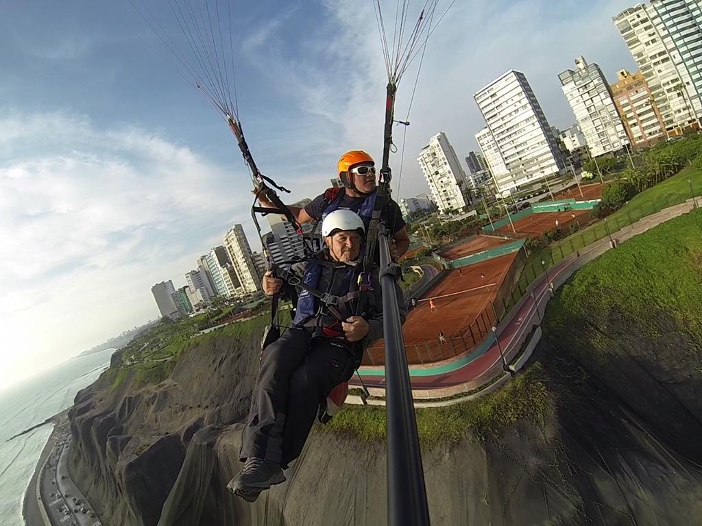
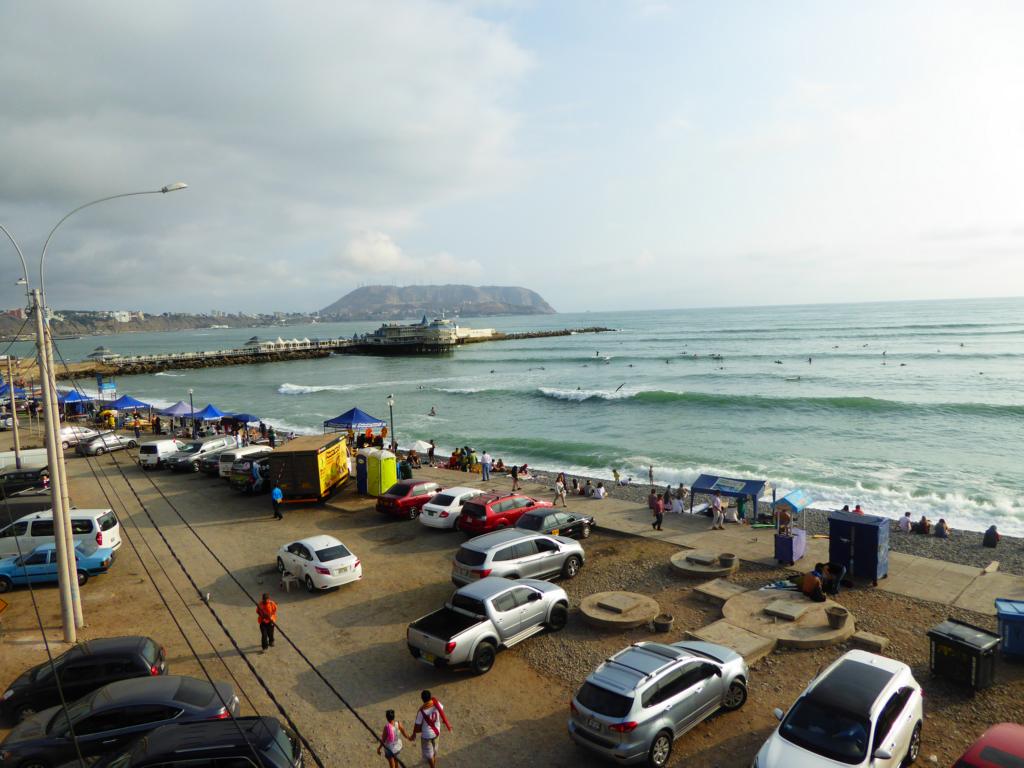
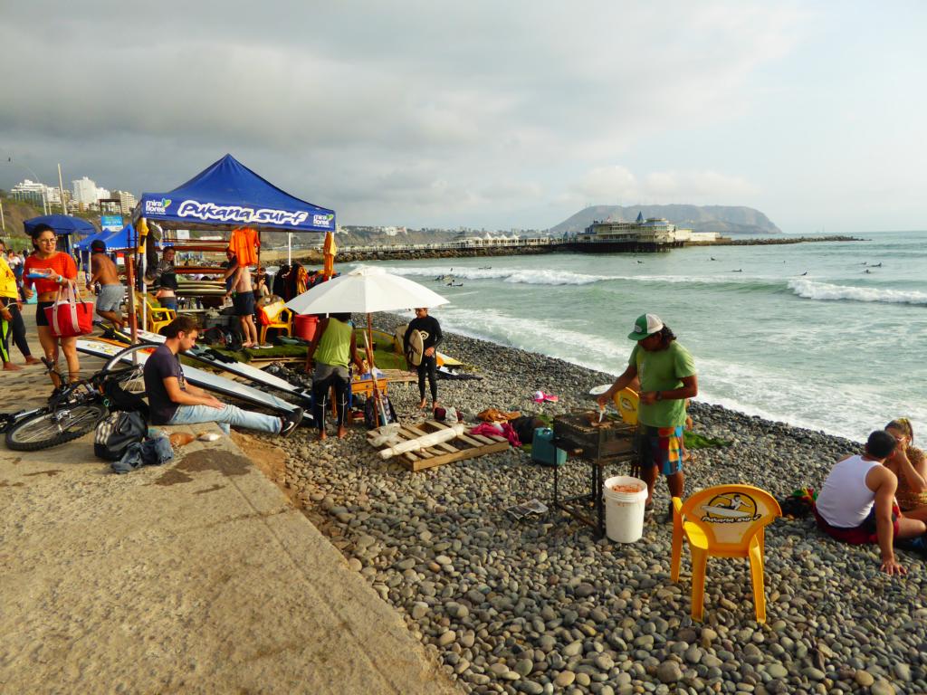
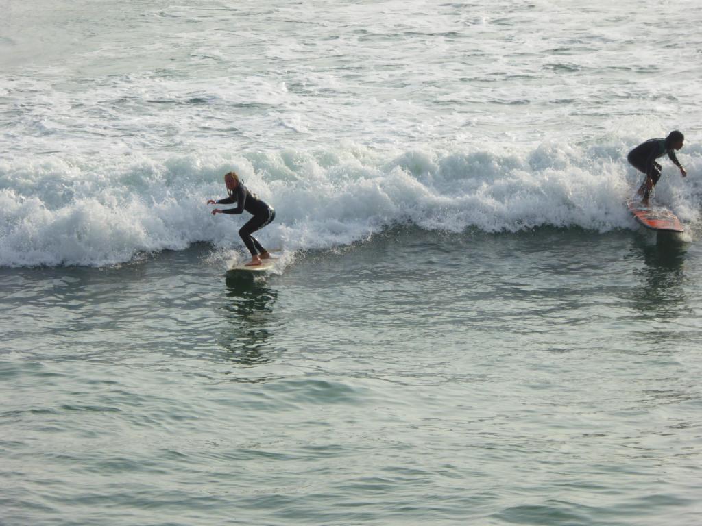
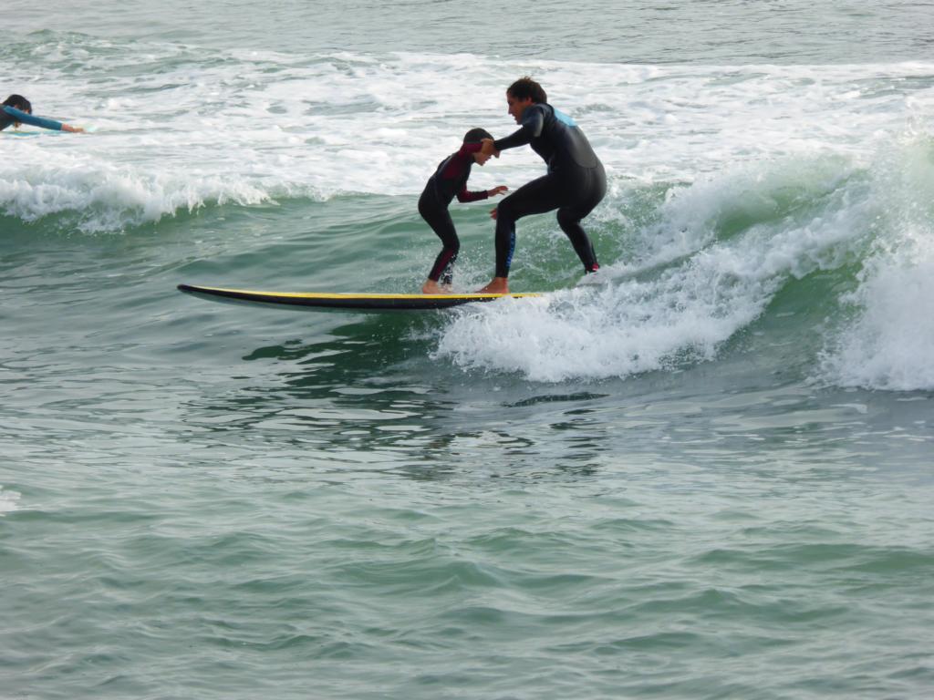
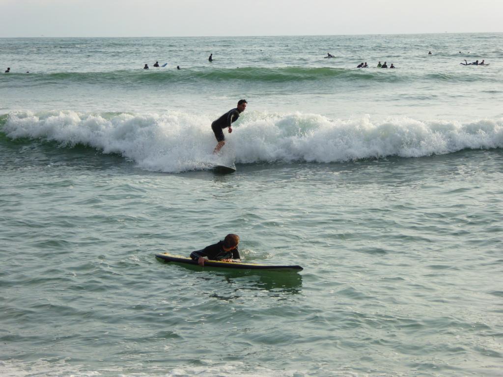
The cliffs of Mira Flores serve as a launching site for paragliding. As the wind was pretty strong I decided not to fly myself but to make the first tandem flight of my life. Mira Flores is also popular among surfers, although the water temperature still is a quite cold.


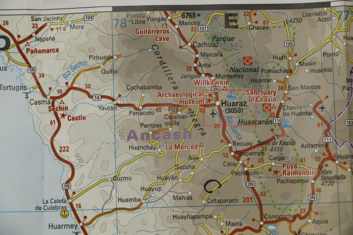
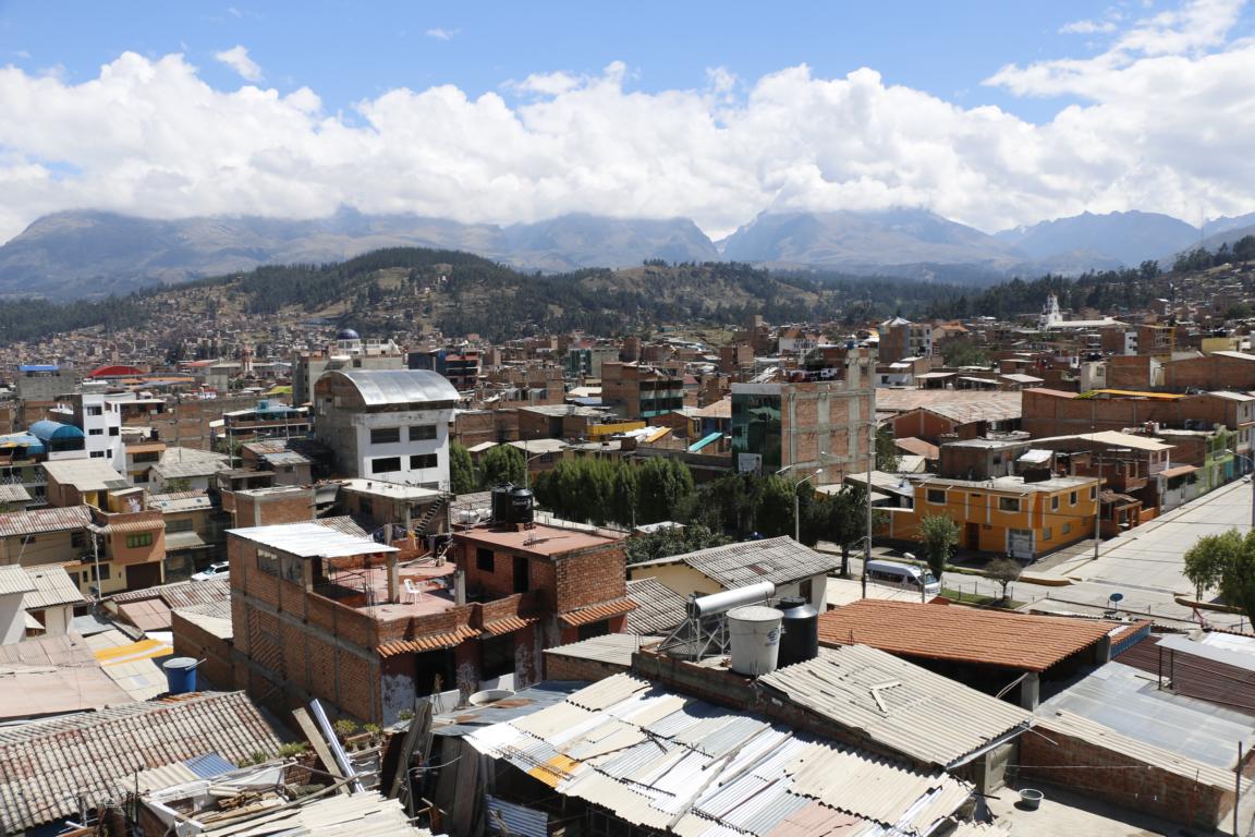
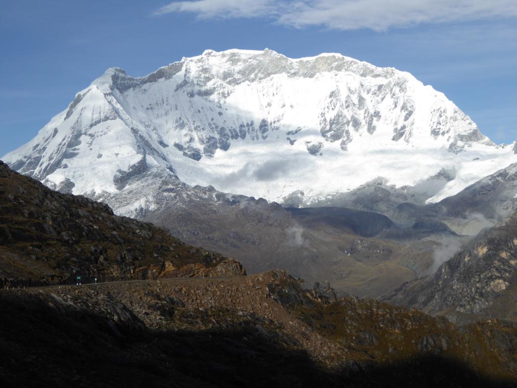
400 km north of Lima, between the Cordillera Blanca and the Cordillera Negra lays the provincial town Huaraz. With some 20 peaks higher than 6,000 m it is a prime center for mountaineering. The picture shows Mt. Huascarán, 6,768 meters, Peru’s highest mountain.
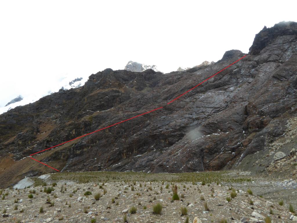
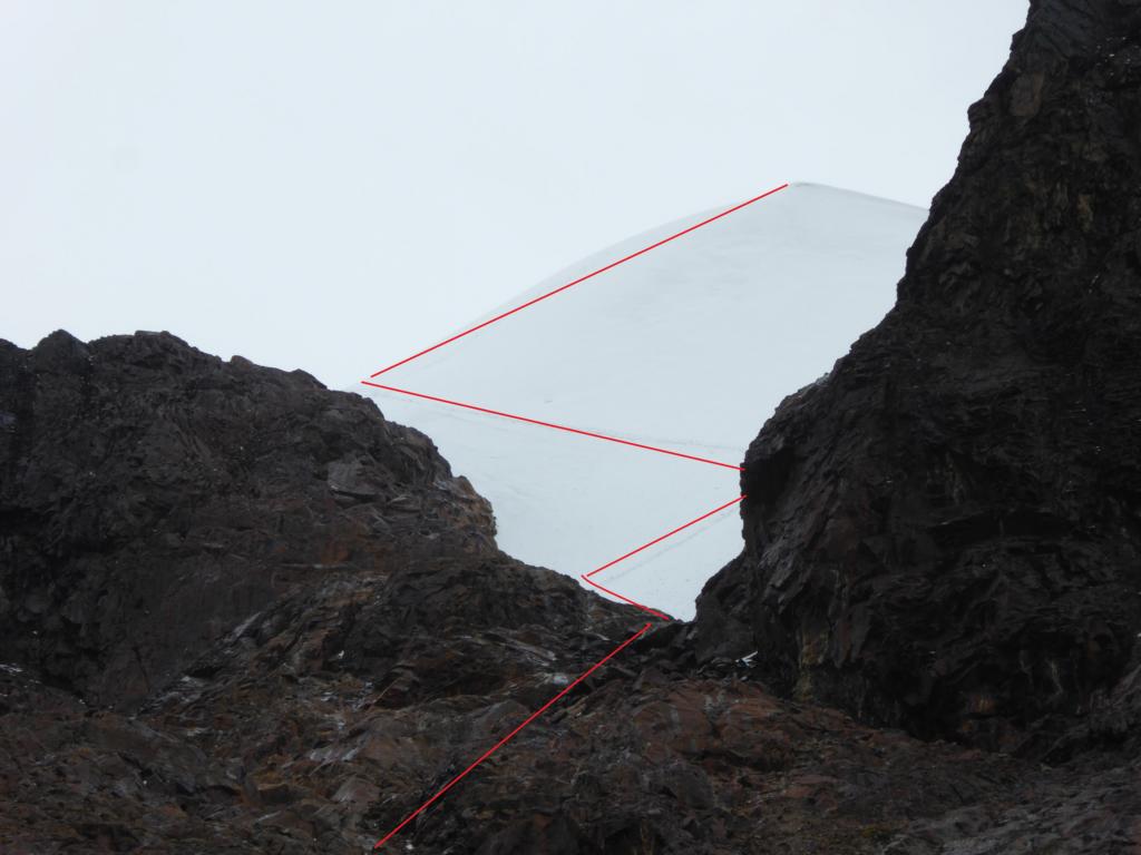
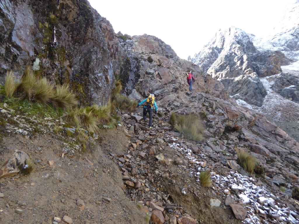
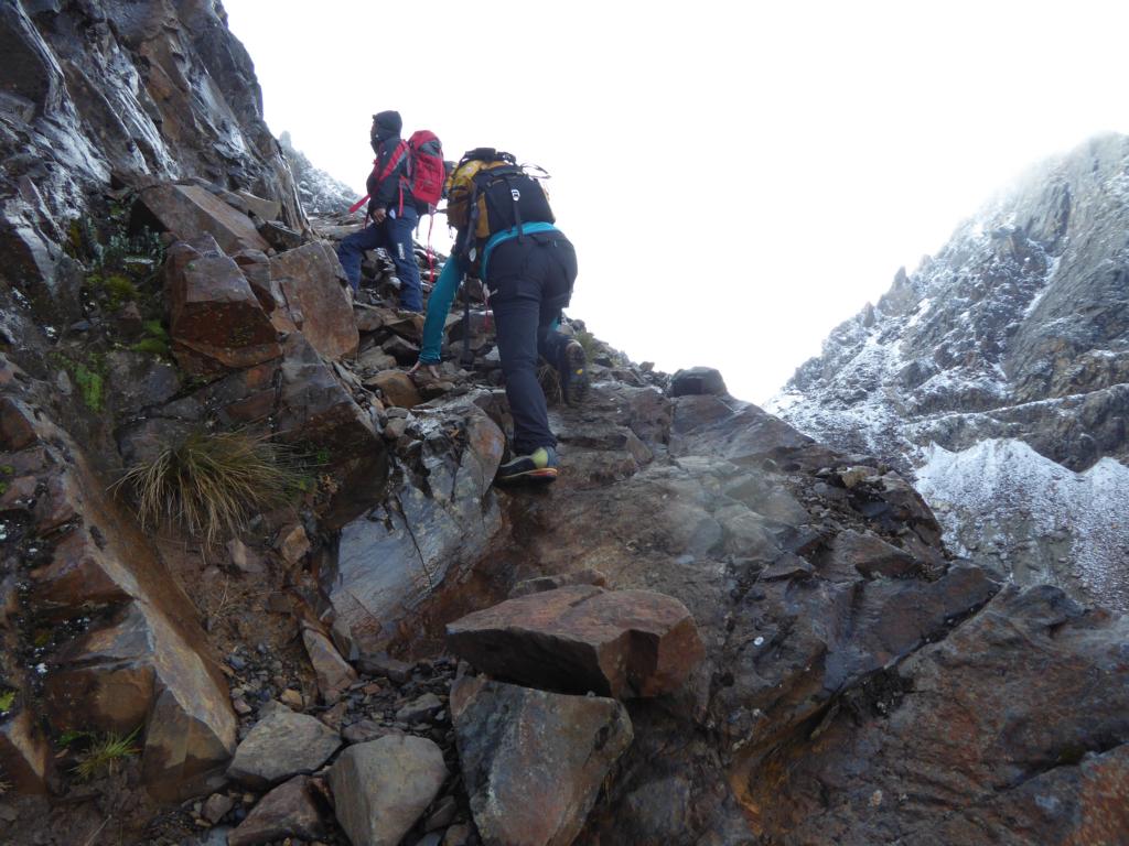
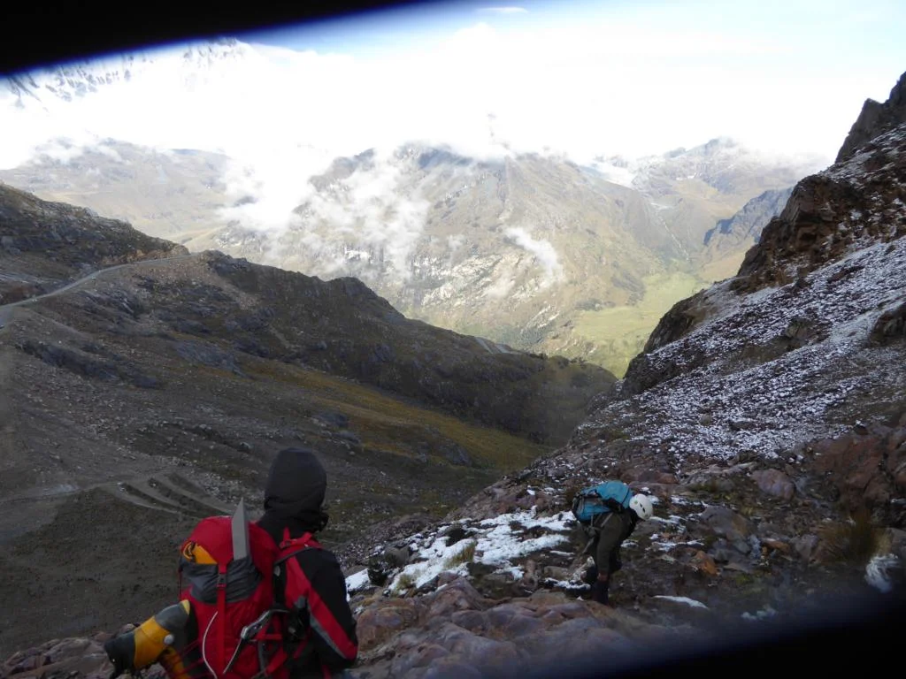
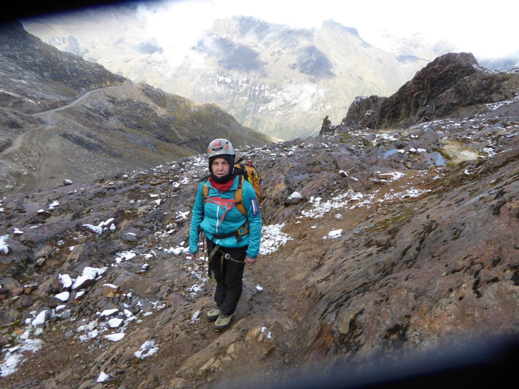
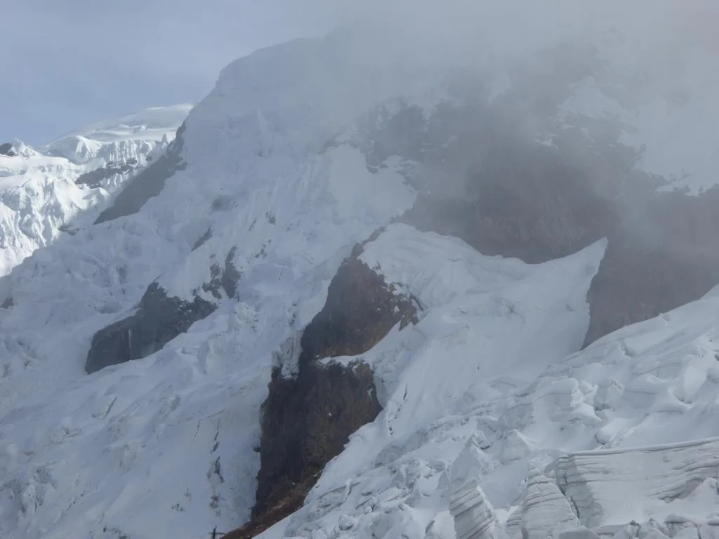
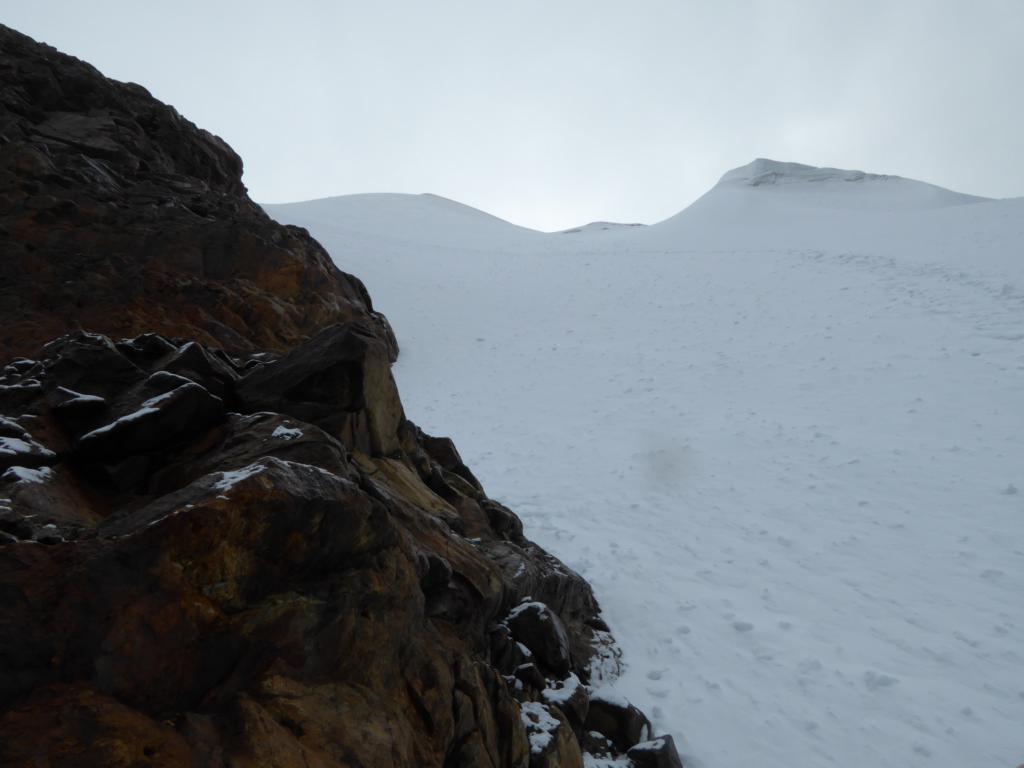
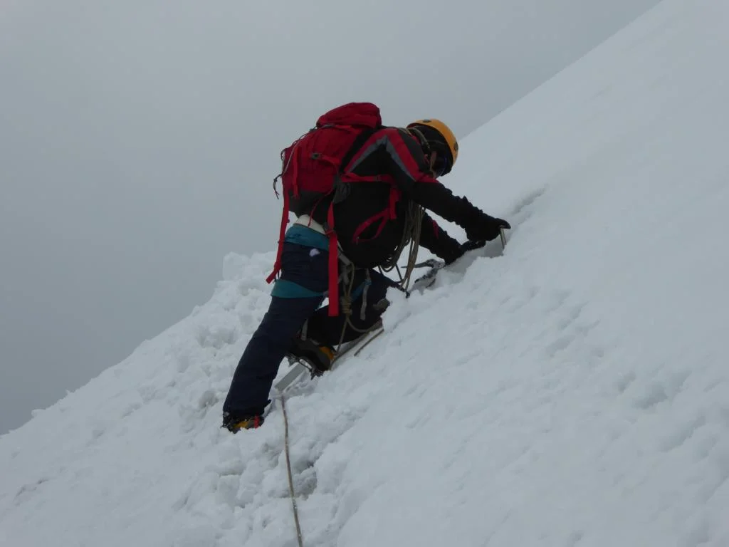
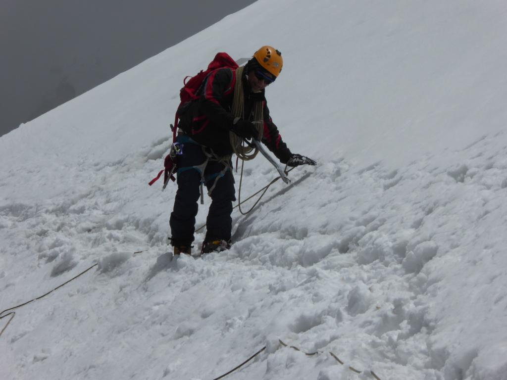
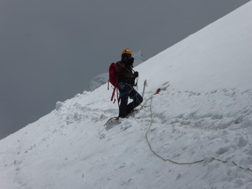
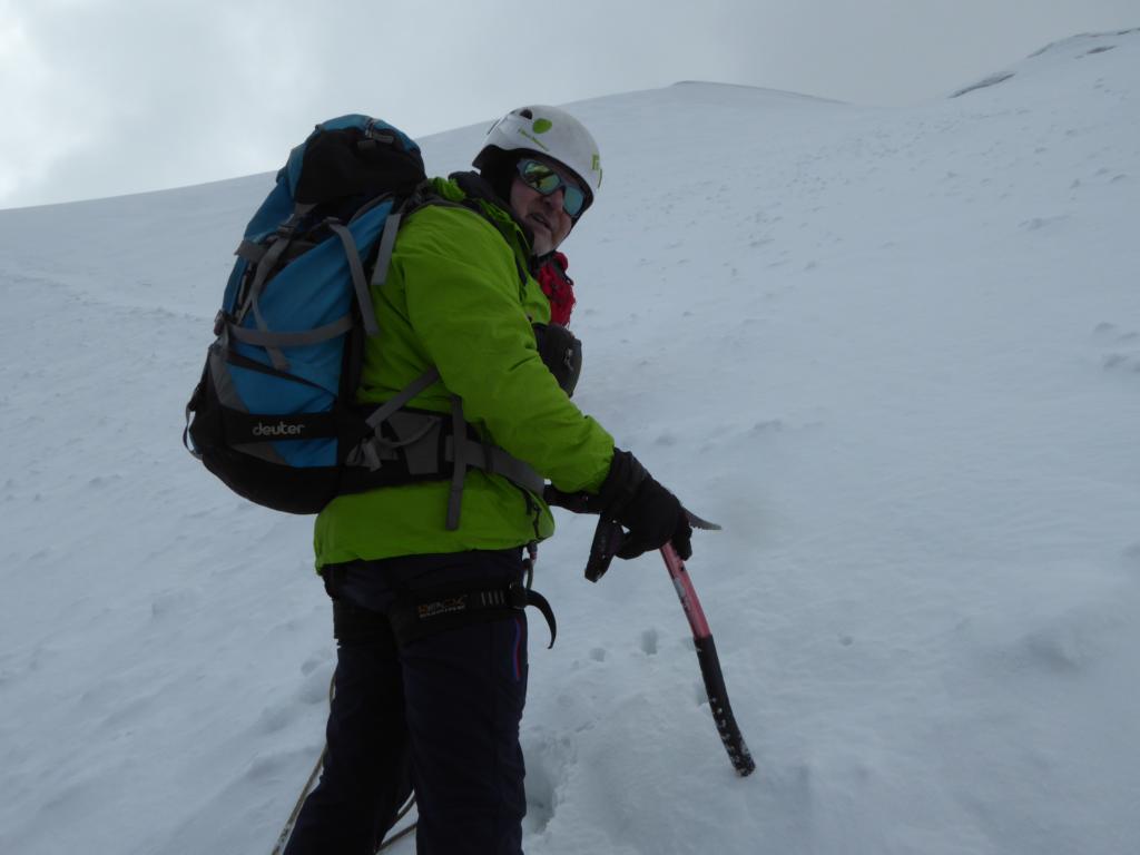
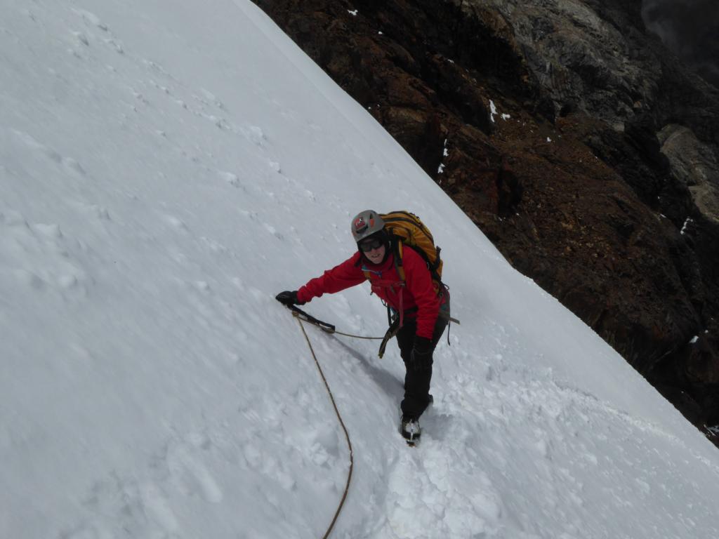
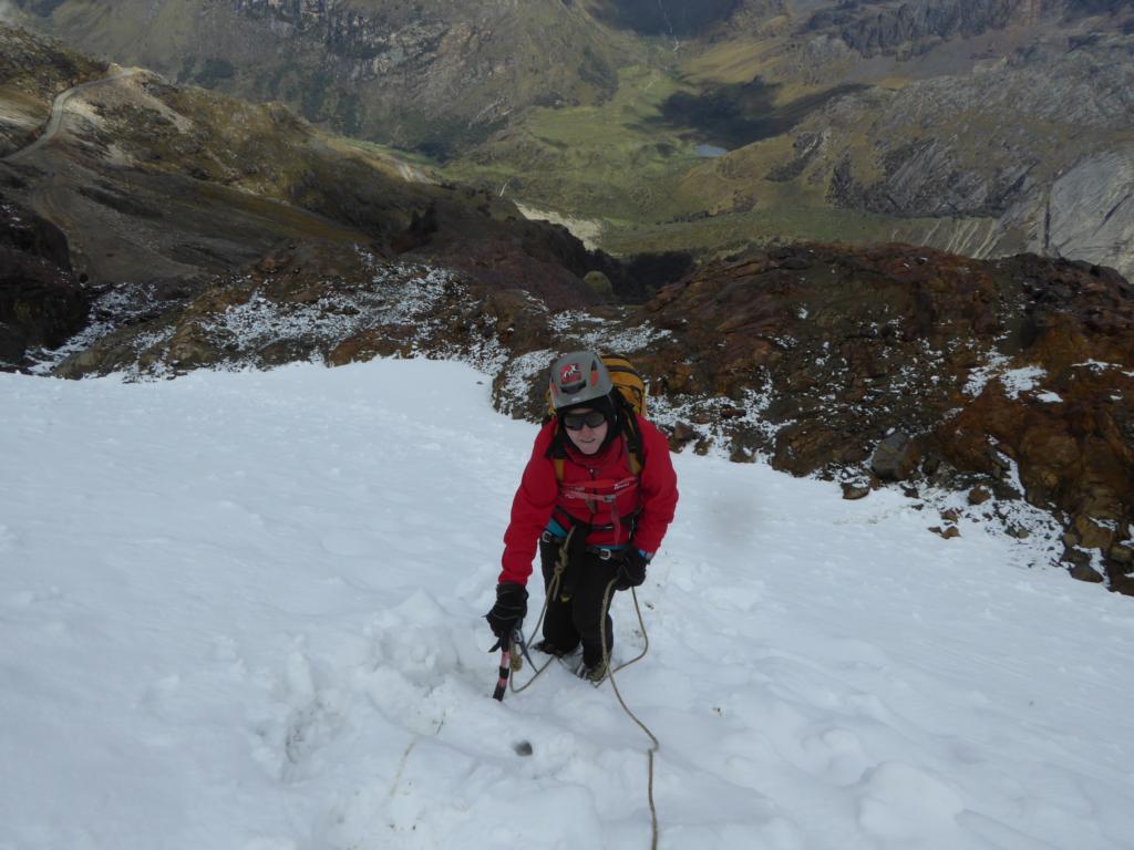
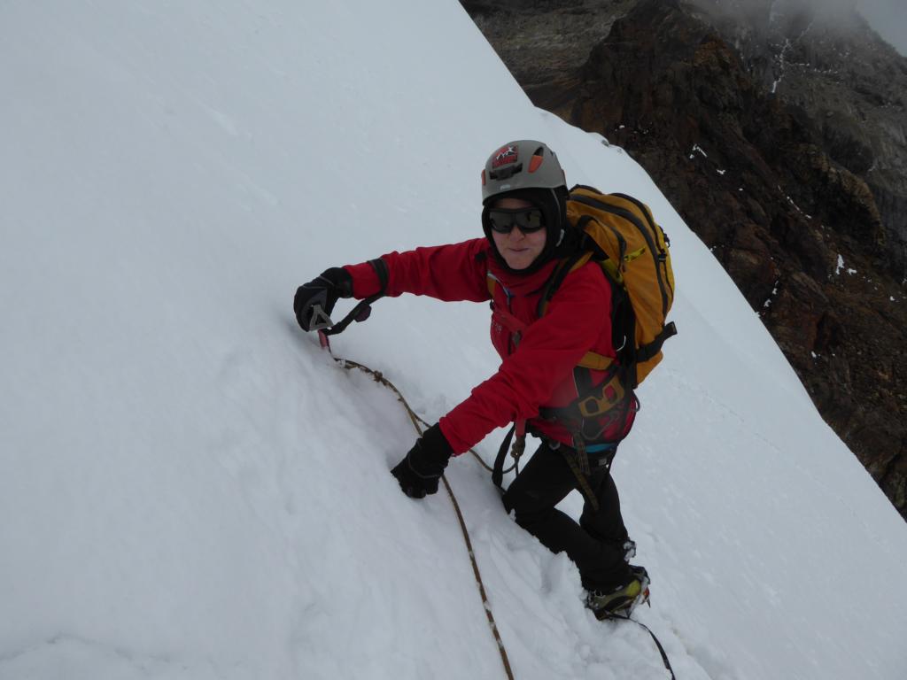
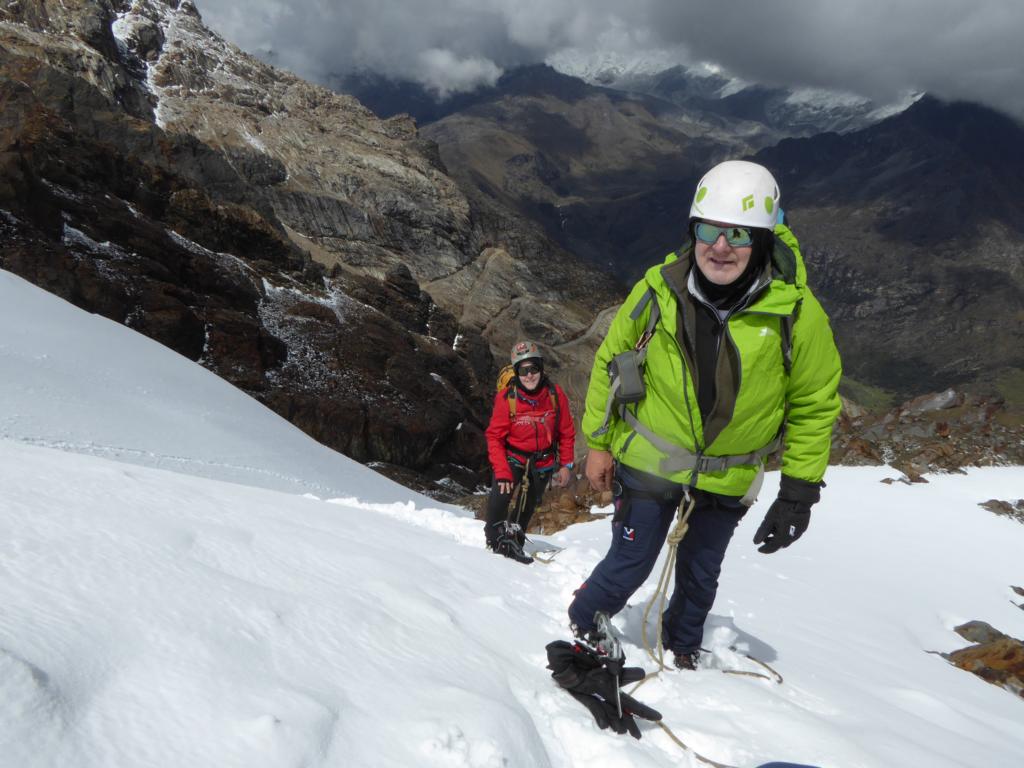
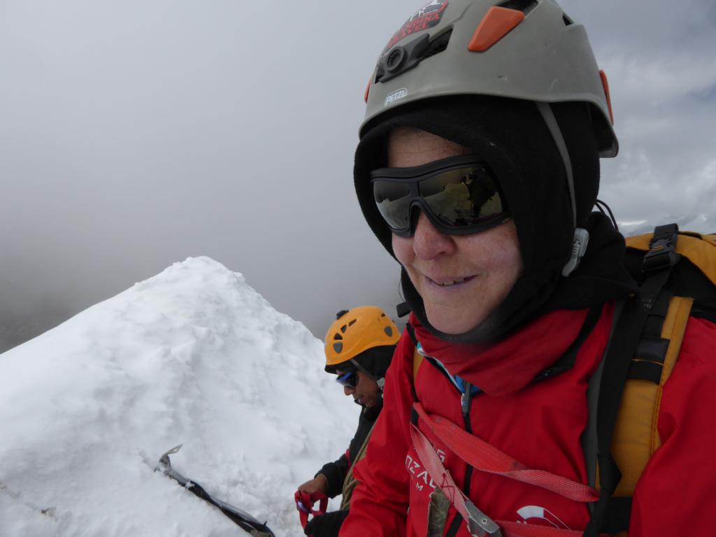
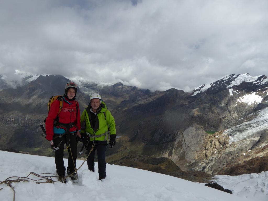
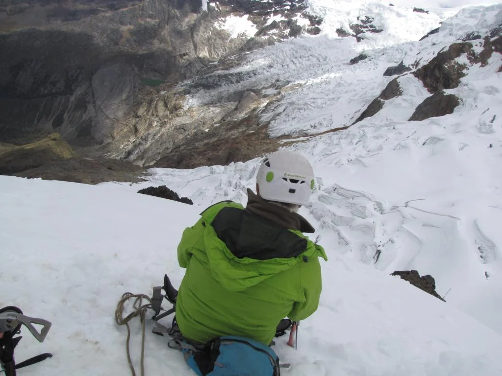
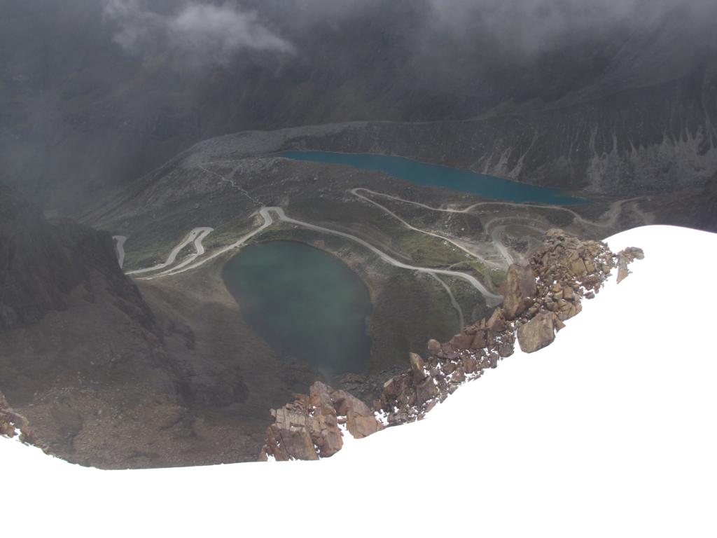
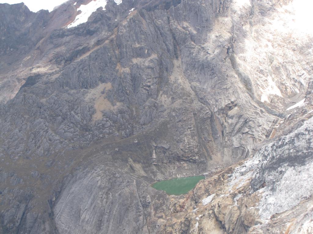
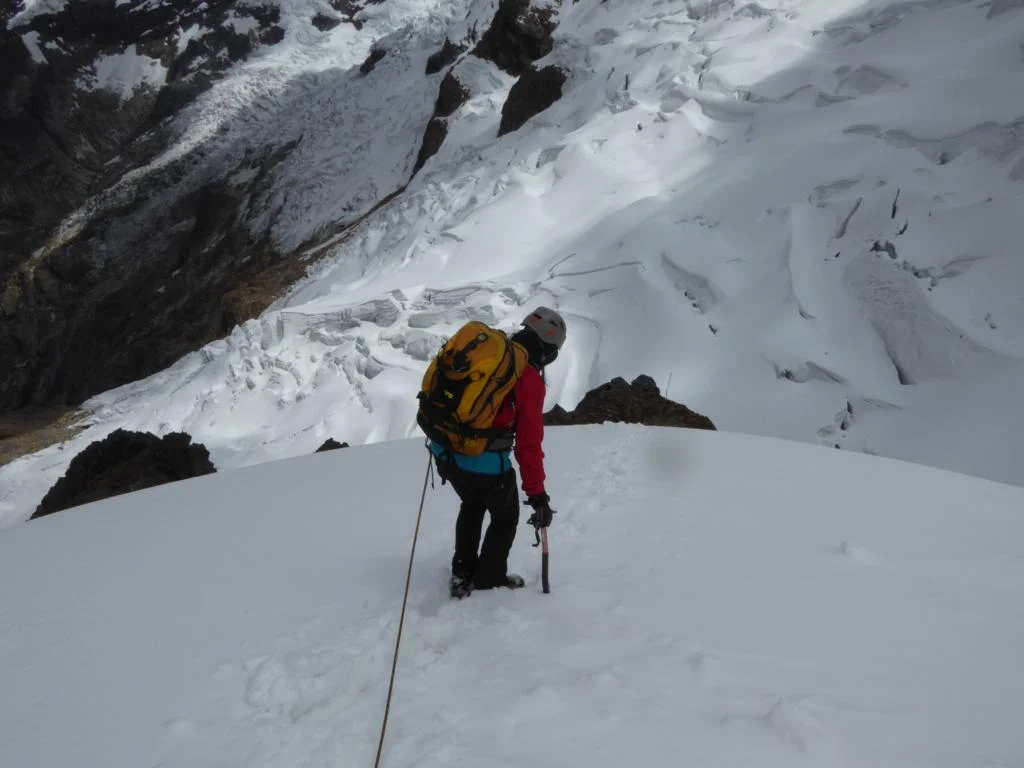
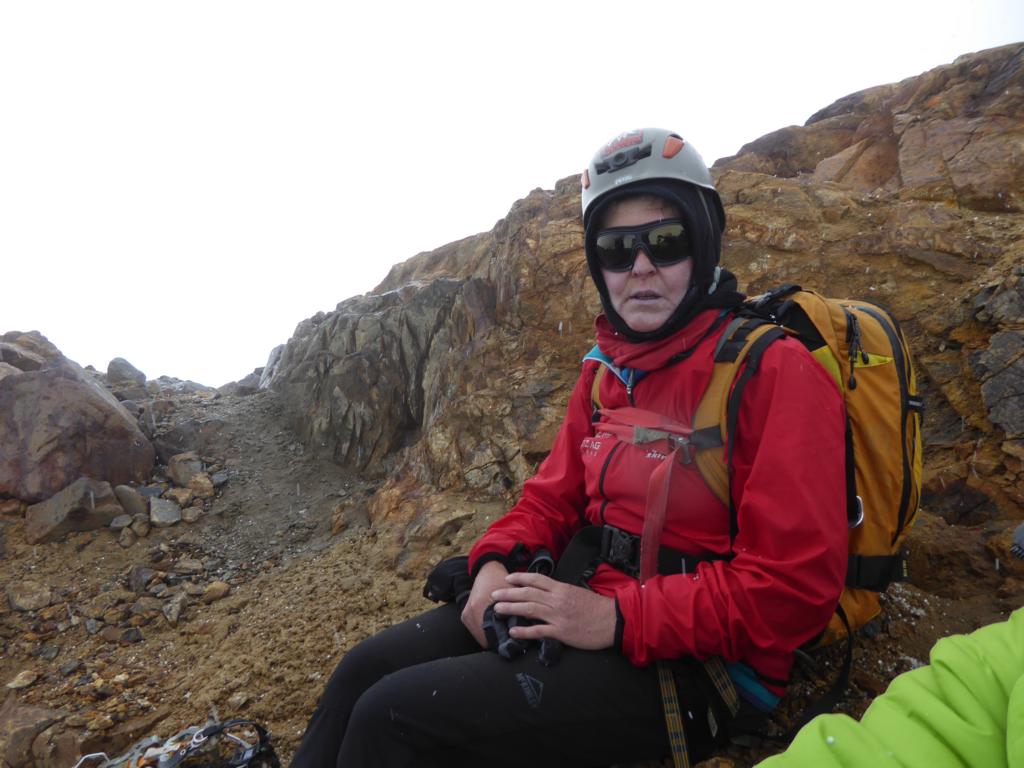
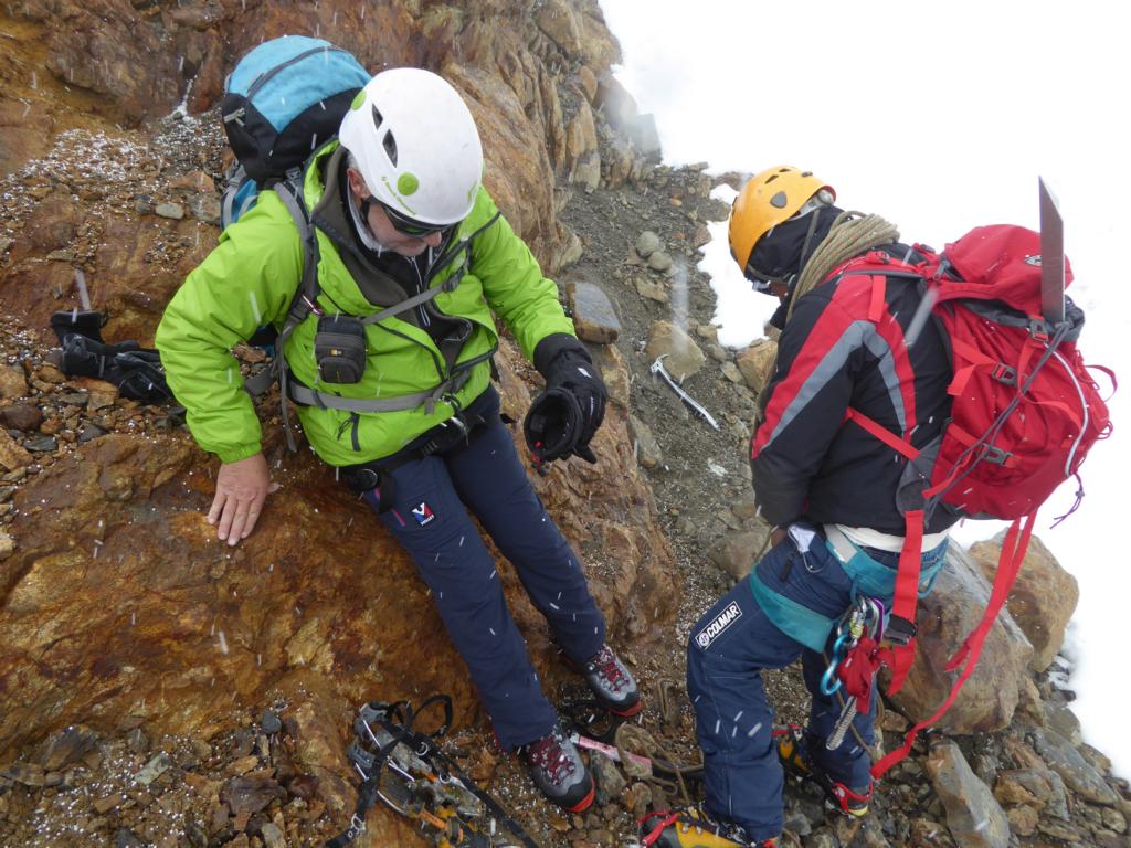
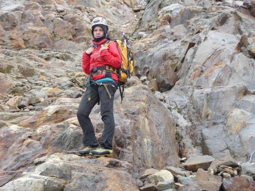
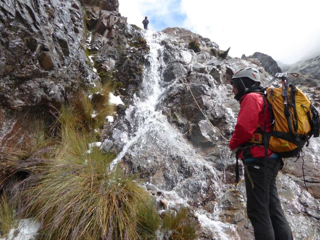
Still feeling strong after our recent Huayhuash trekking we decided to climb Mt. Nevado Mateo (5,150m). What the travel agency advertised as an easy glacier tour turned out to be a tiresome eight-hour mix of rock and glacier climbing. In addition, on the way back we were caught by the usual afternoon snow/rainfall.


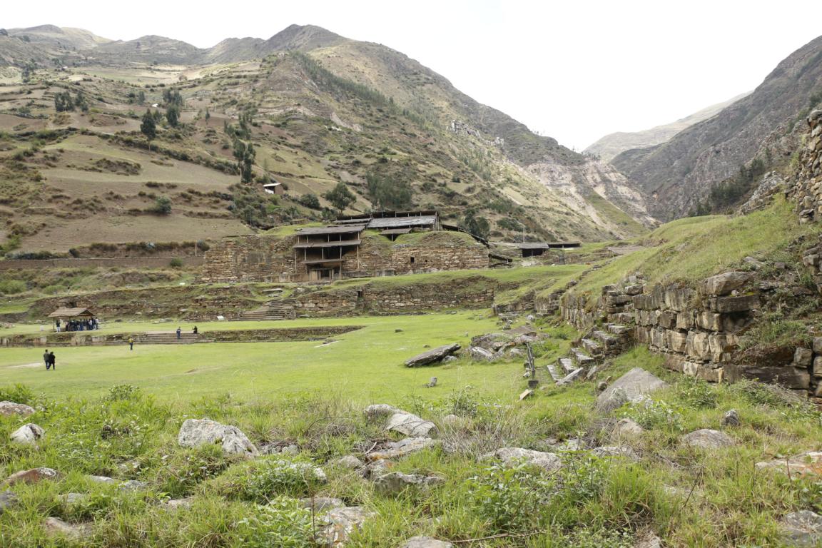
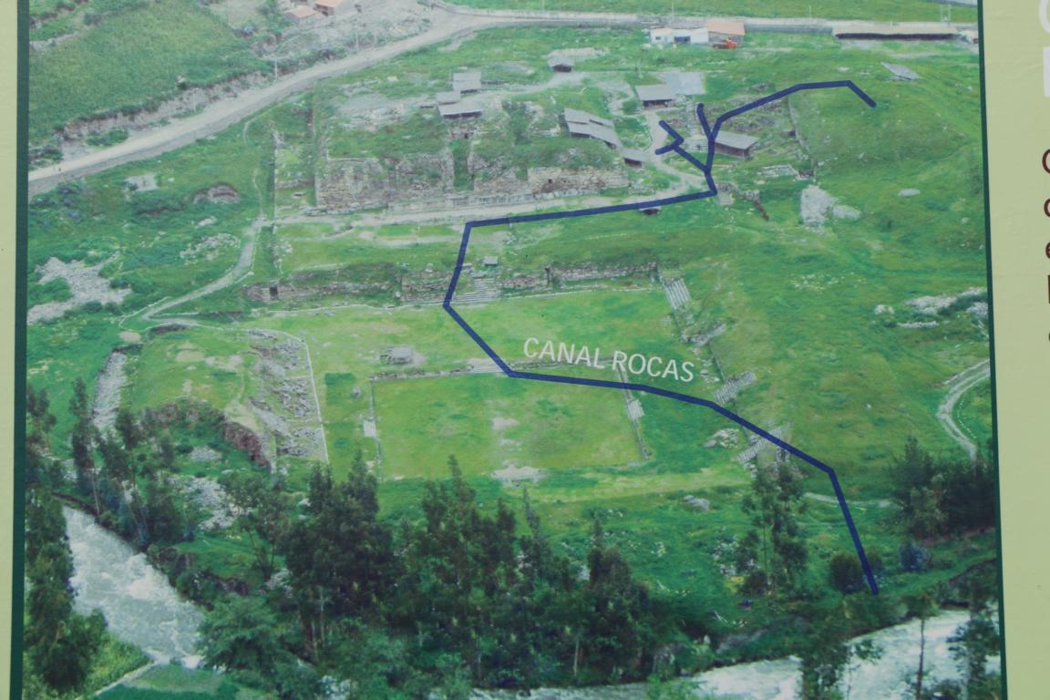
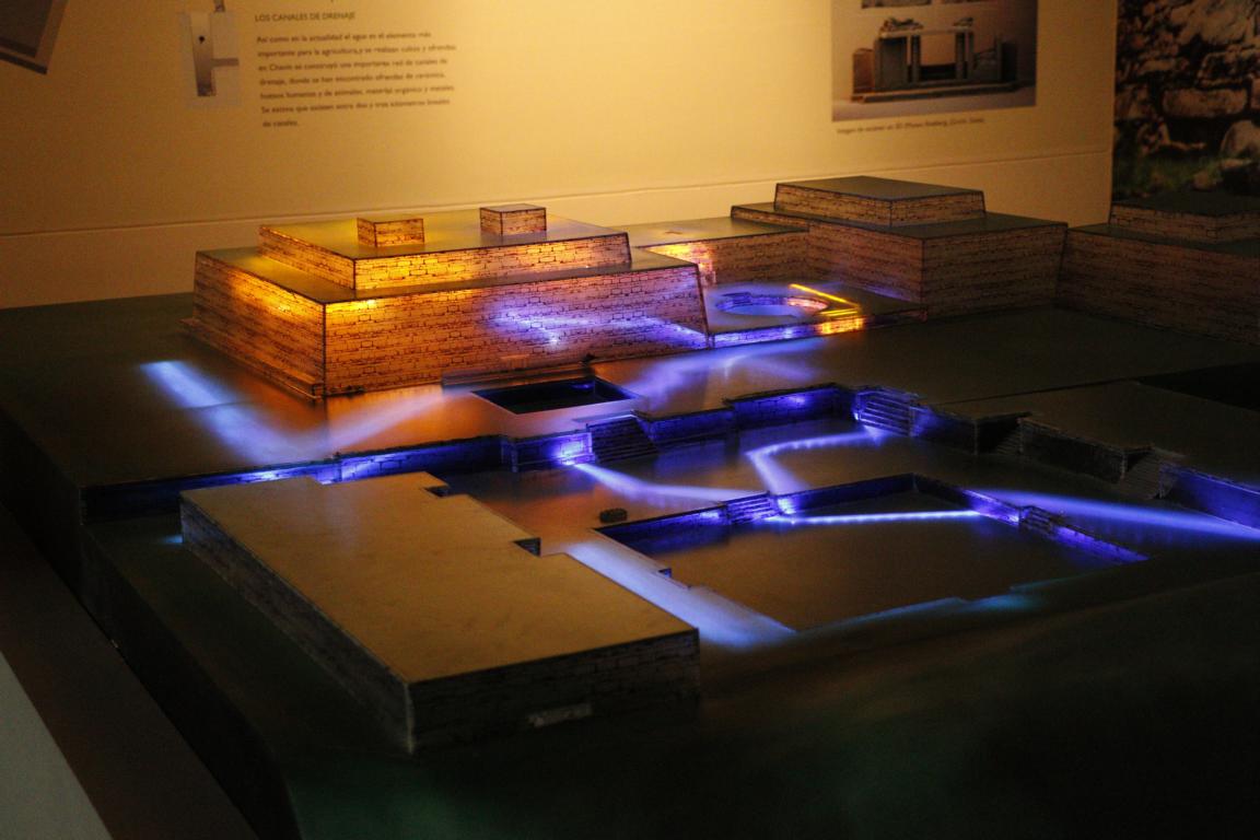
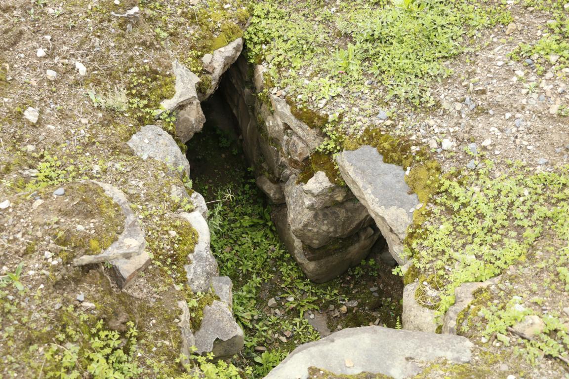
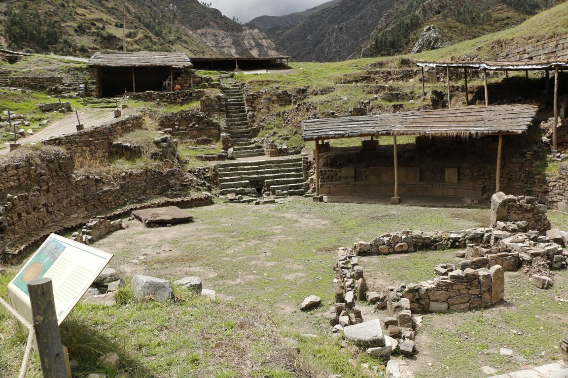
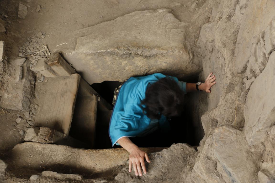
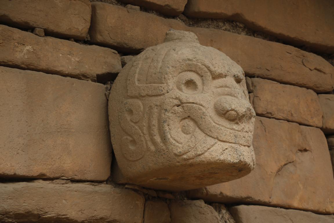
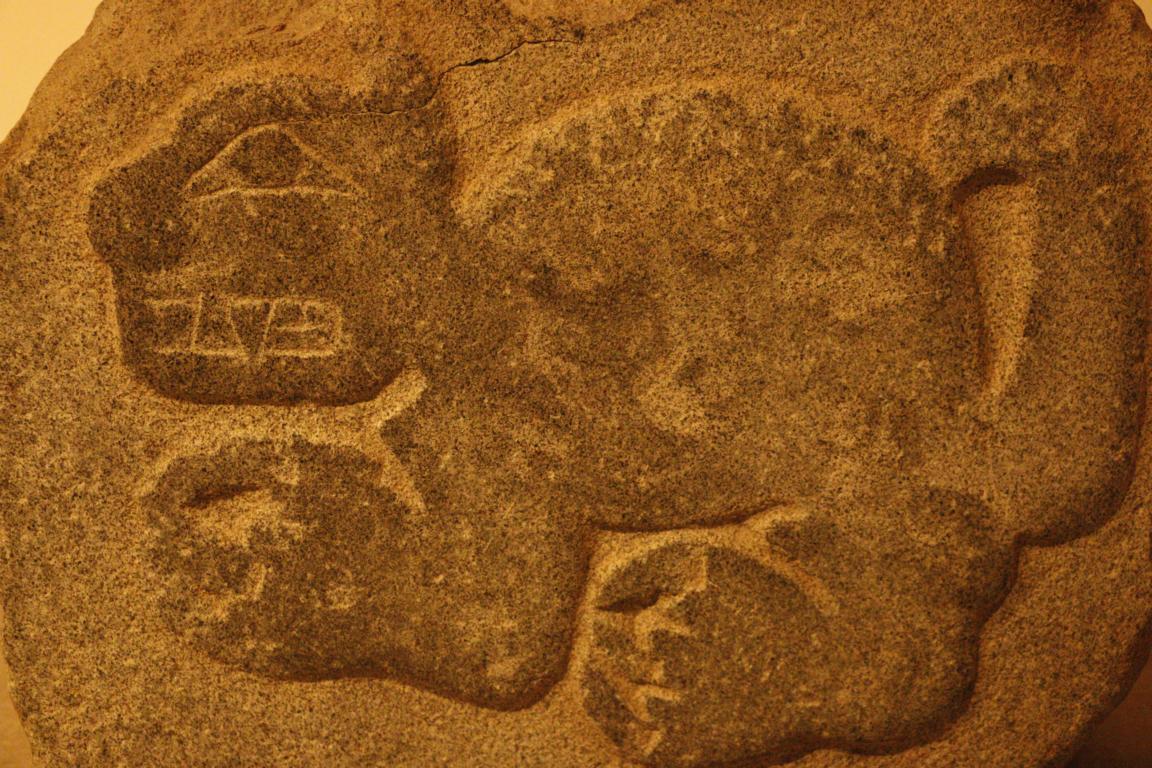
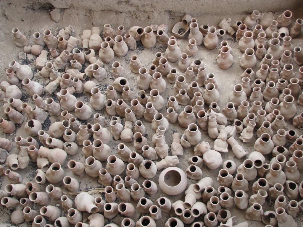
Some 70 km east of Huaraz lays the ancient town of Chavin which was the center of the Chavin Culture (900-200 BC). Below the temple flew a number of sub-terrain channels which – in combination with pipe wholes - were used to create acoustic sounds to accompany the religious ceremonies. The Lanzón is the most important statue of the central deity and allegedly it is the only deity in South America which still rests at its original place (deep inside the temple).


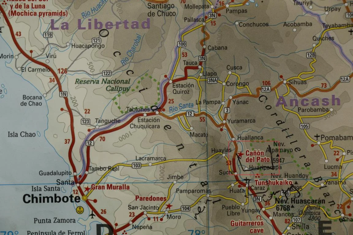
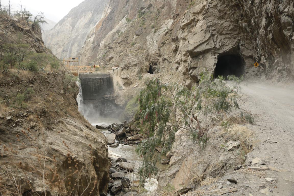
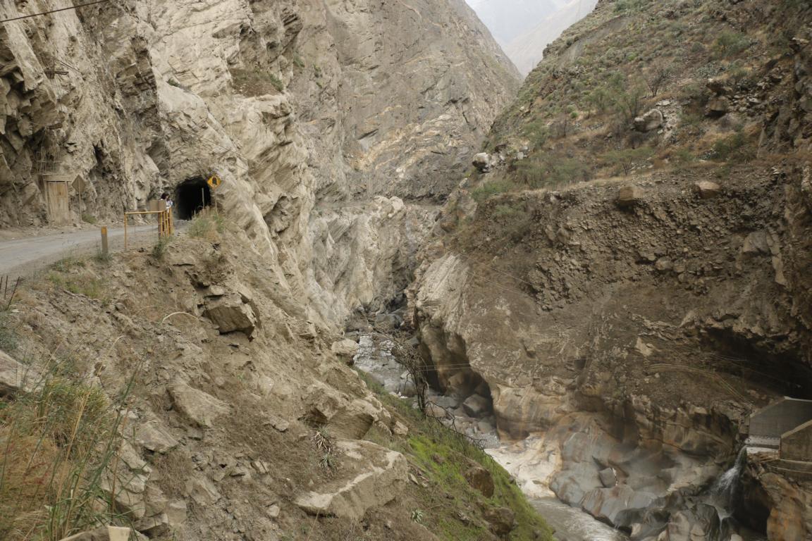
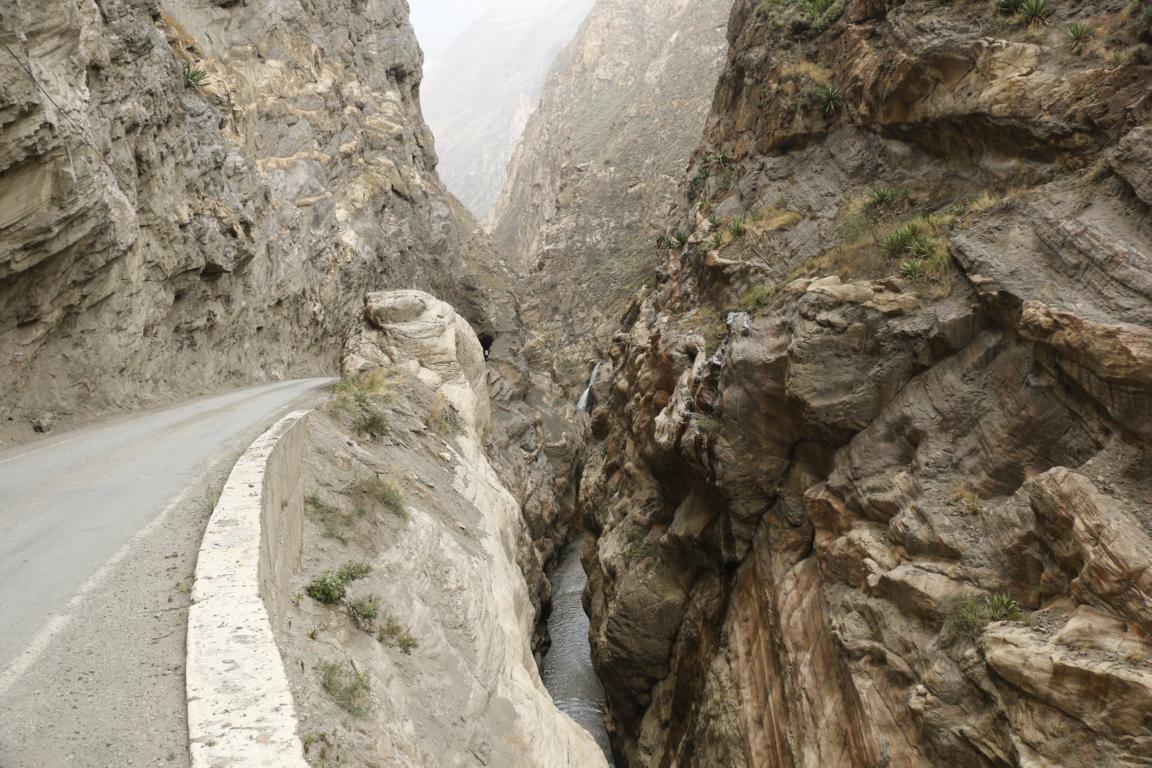
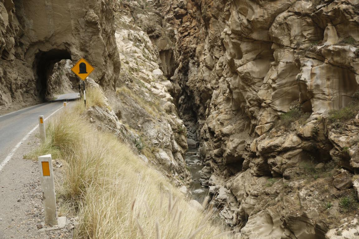
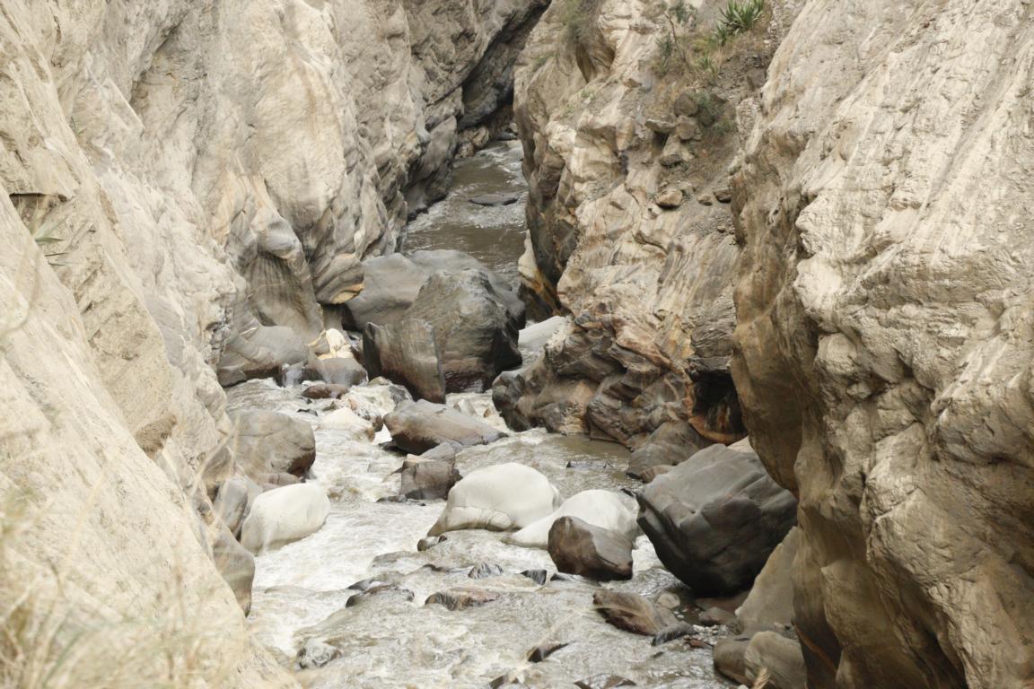
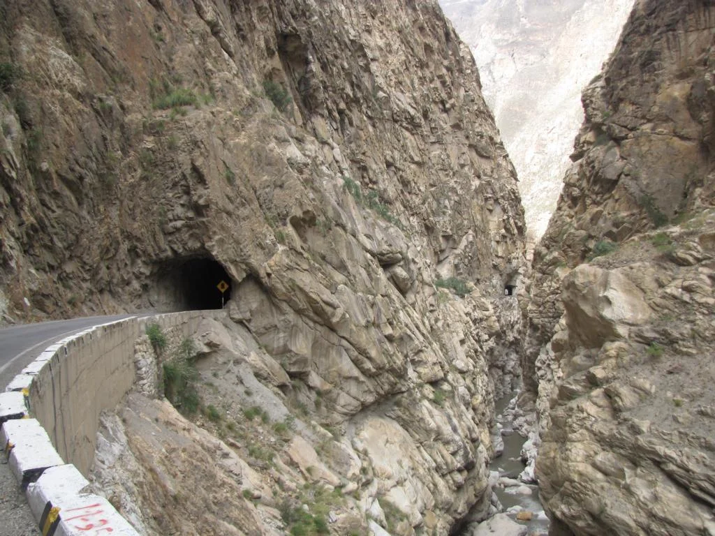
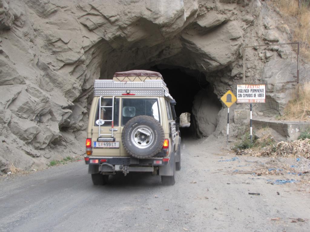
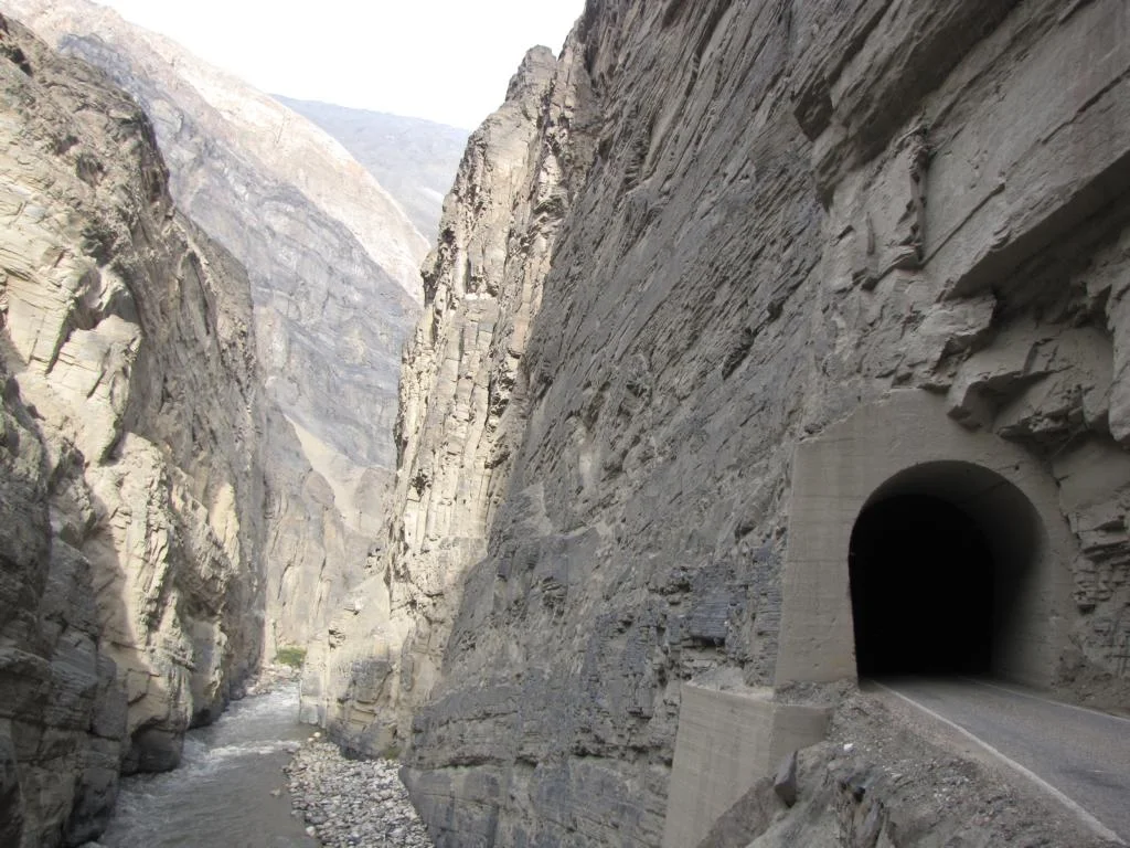
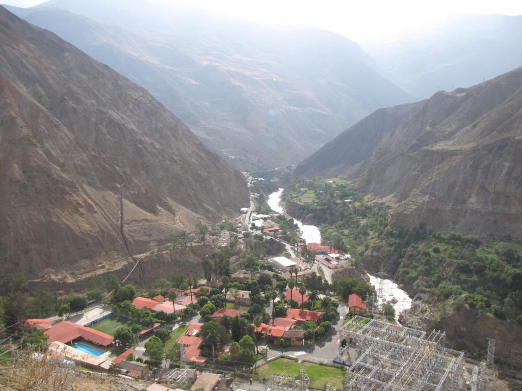
North of Huaraz the Rio Santa cuts a narrow gorge between the Cordillera Negra and the Cordillera Blanca. The spectacular Cañón del Pato (the Duck Canyon) is some 30 km long and at some sections only 10 m wide.


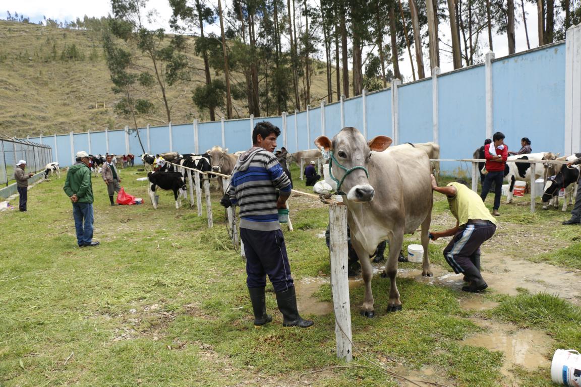
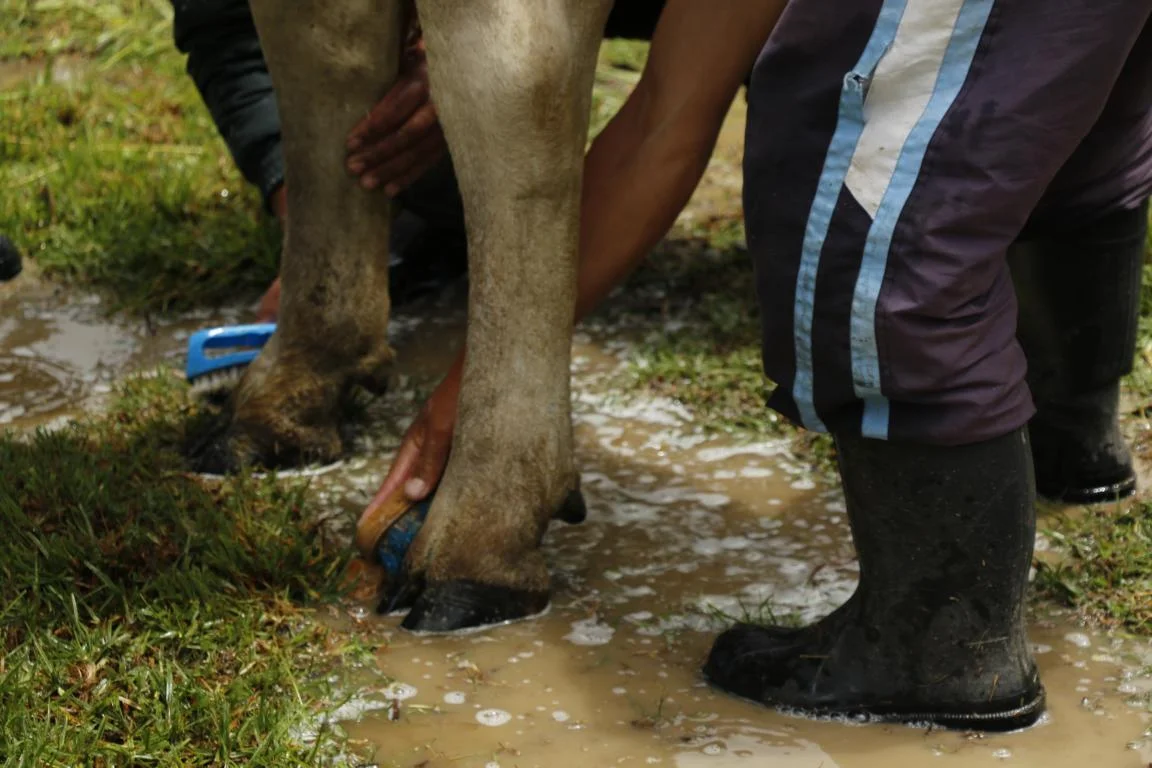
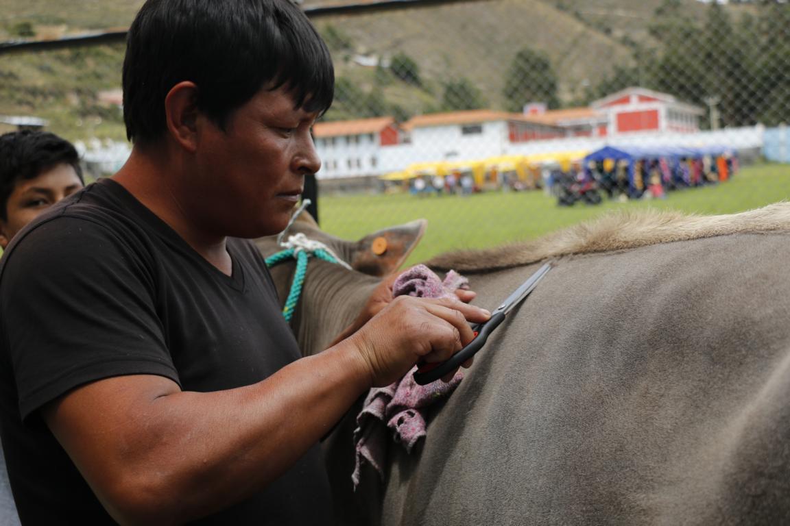
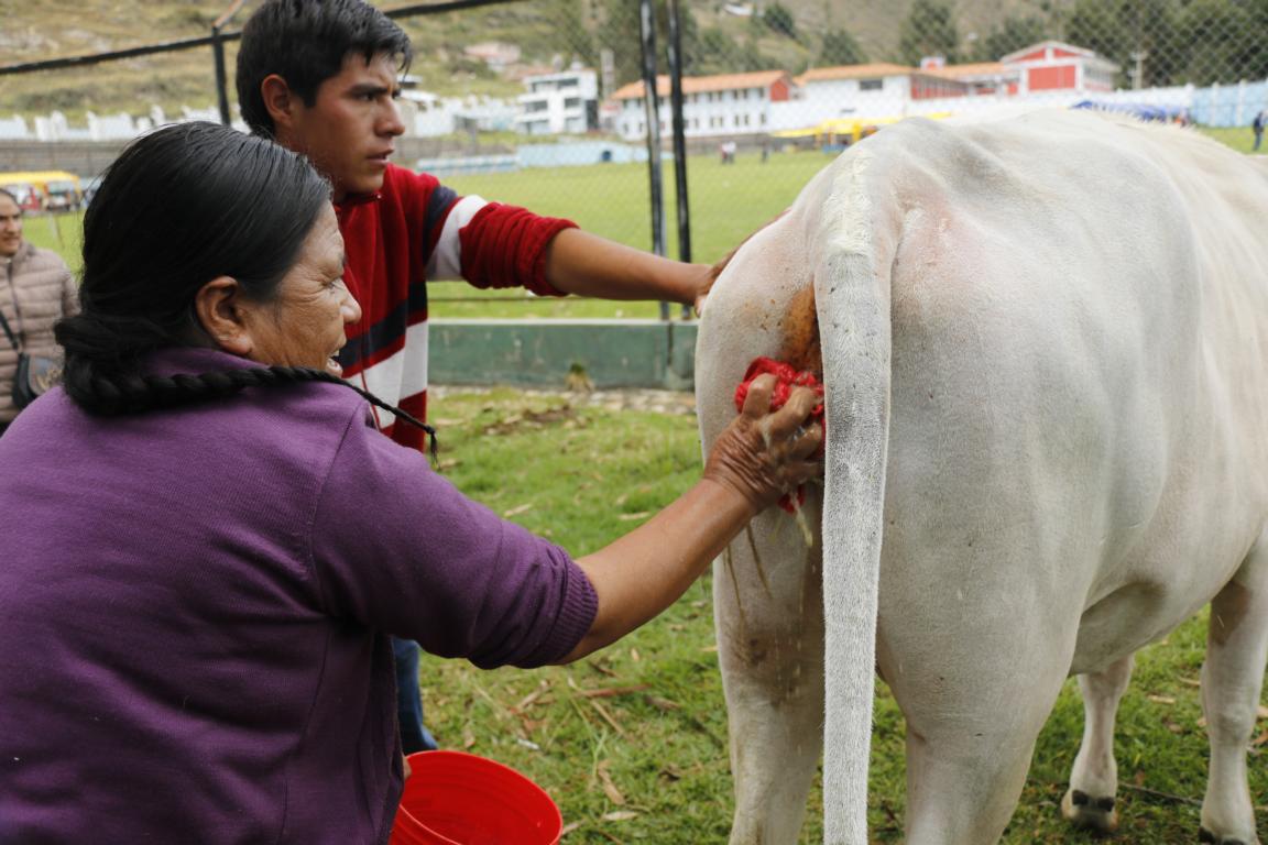
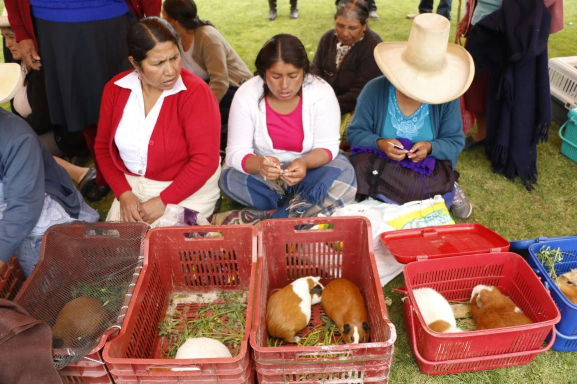
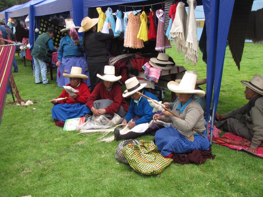
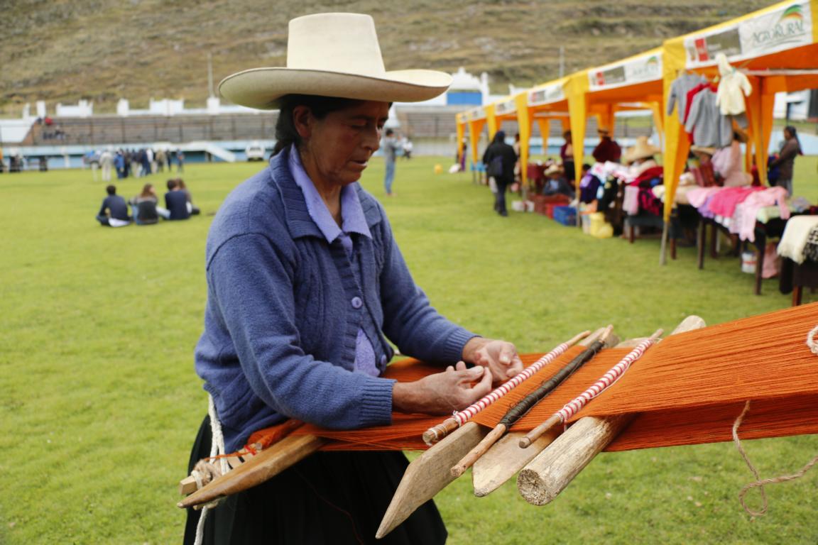
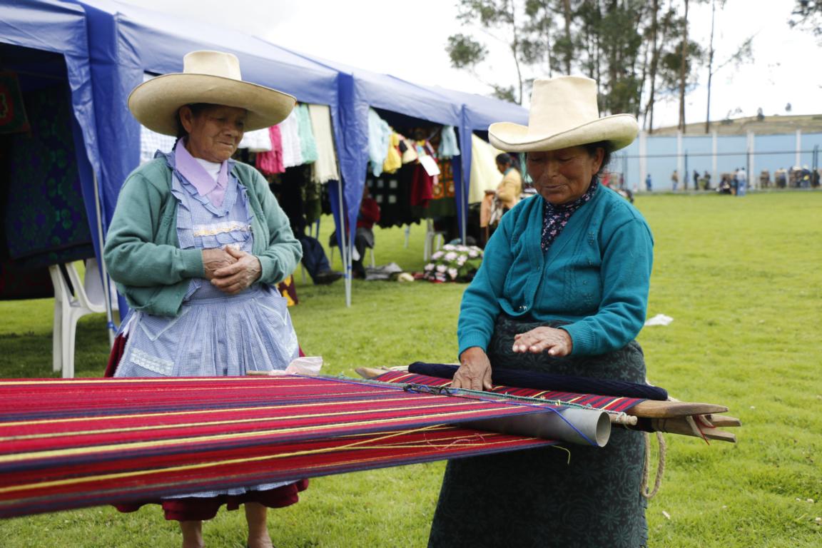
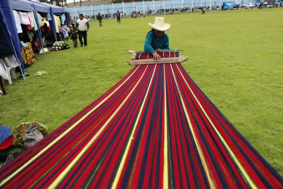
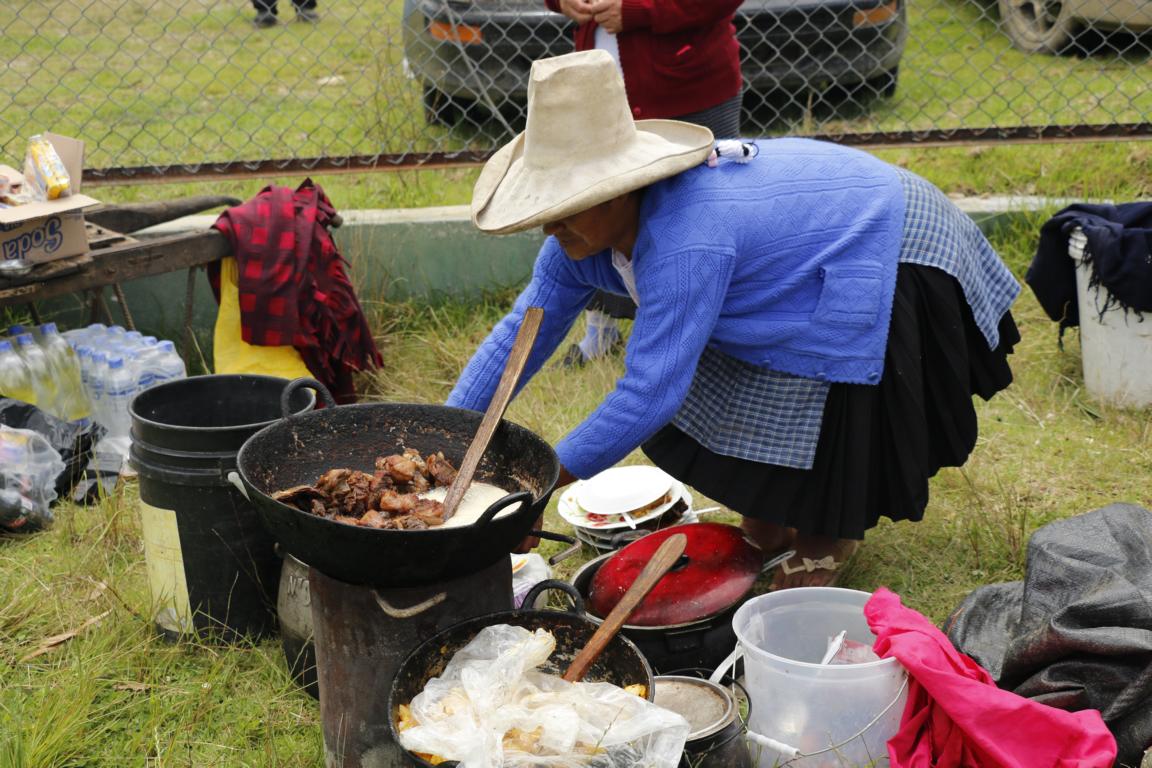
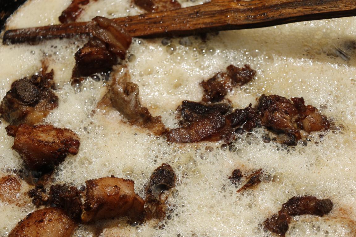
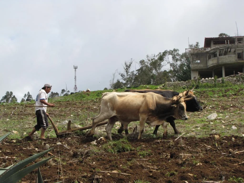
By coincidence we passed an agricultural fair where the achievements of the district were presented. Pictures show cows being prepared for the cat walk as well as Guinee pig breeders and traditional handicraft.


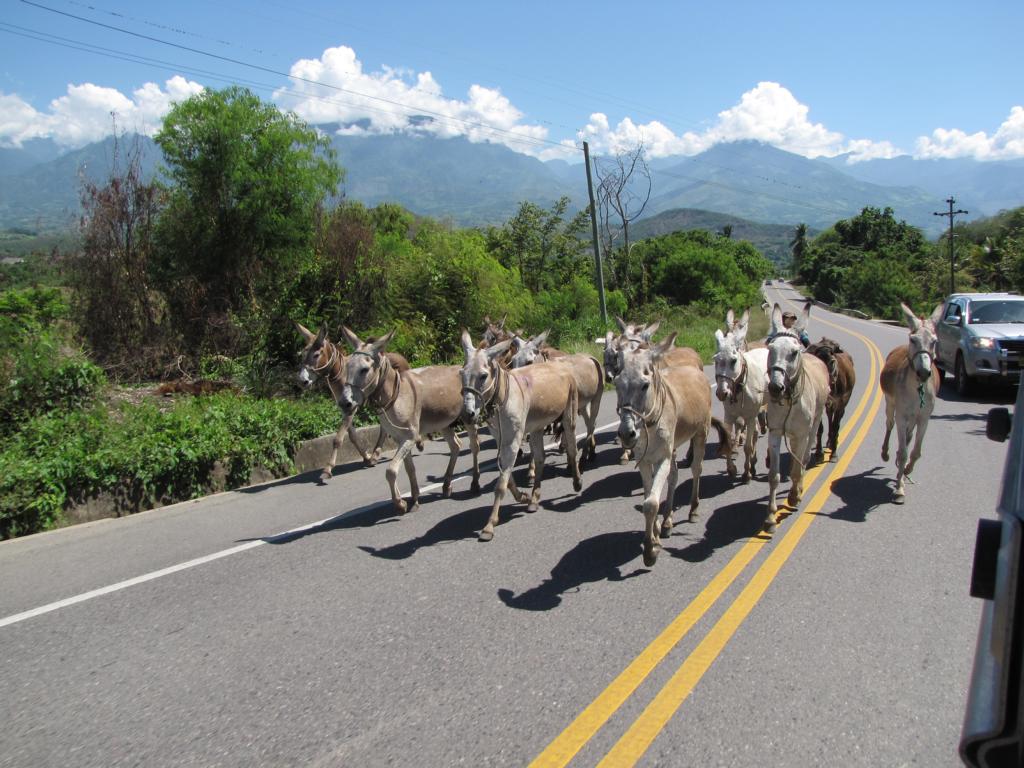
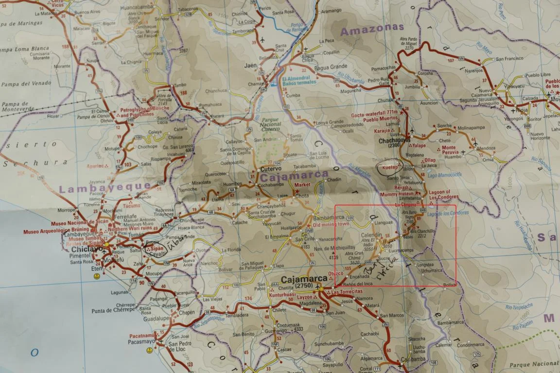
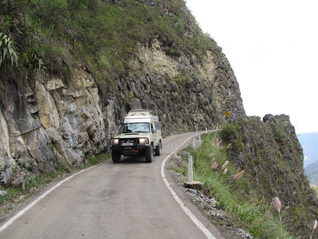
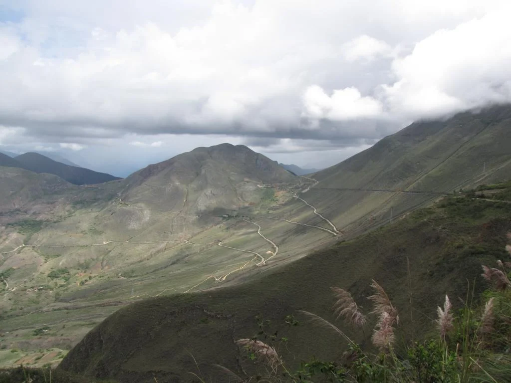
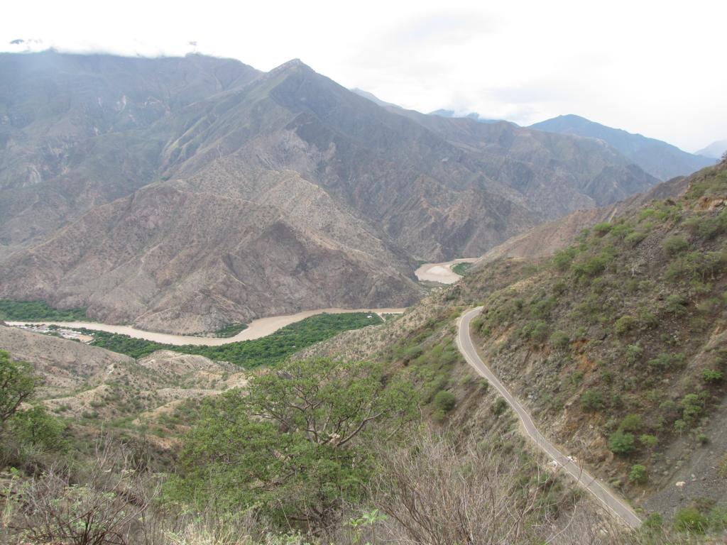
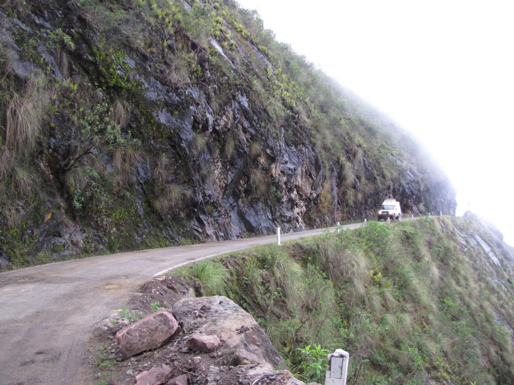
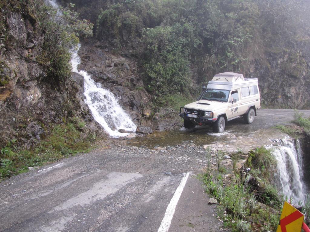
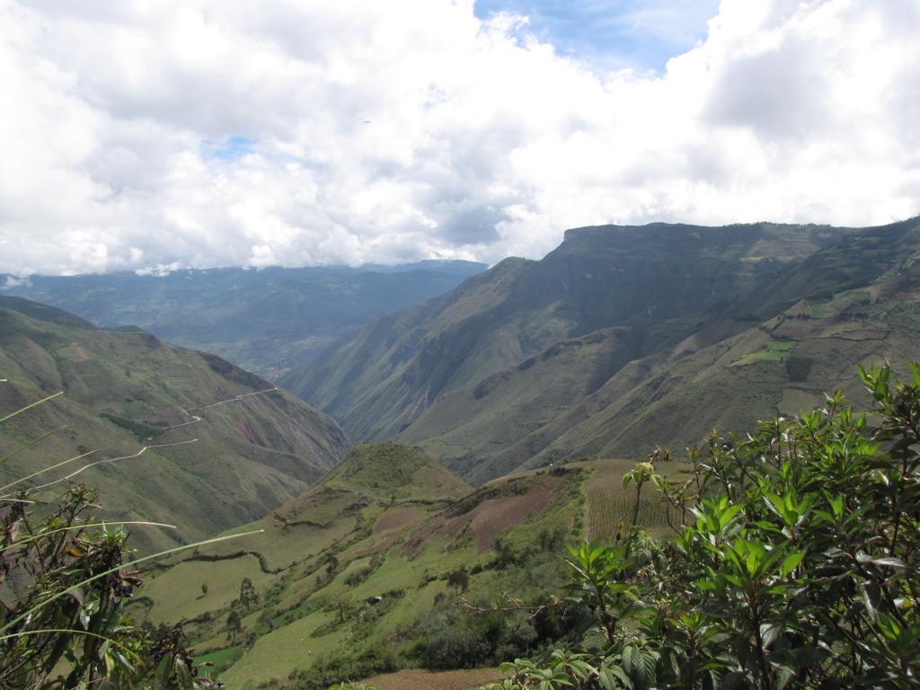
The narrow road from Cajamarca to Leymebamba leads over several mountain passes.

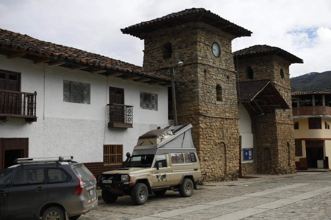
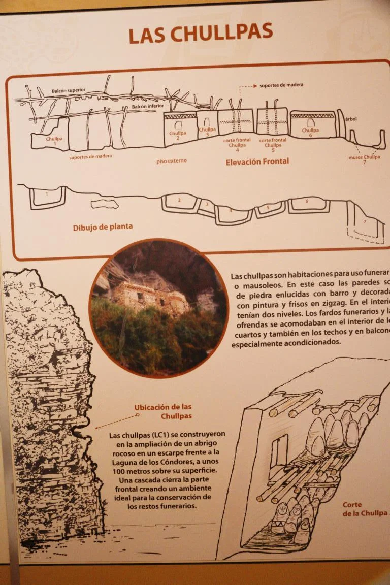
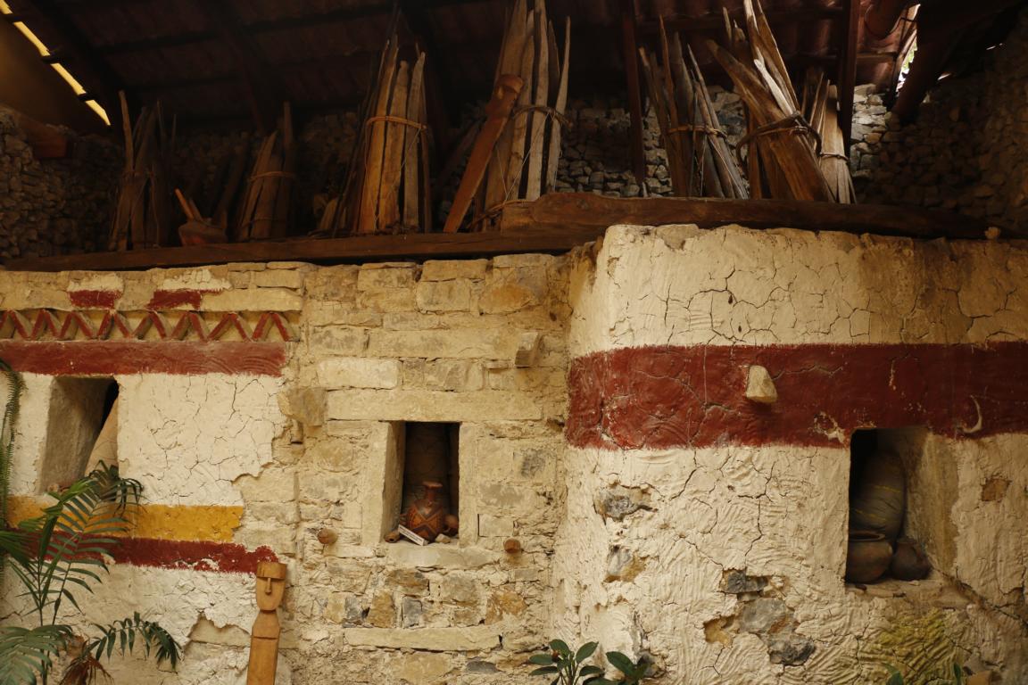
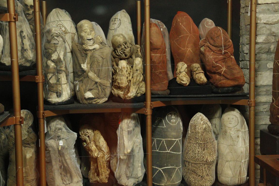
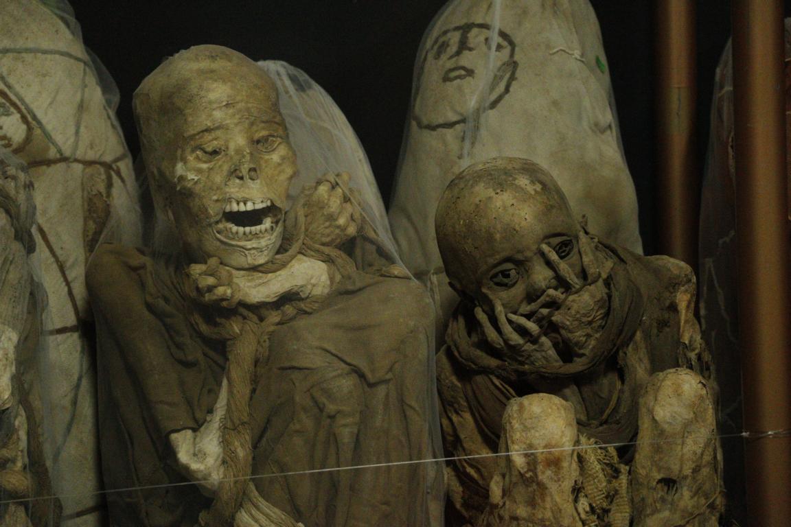
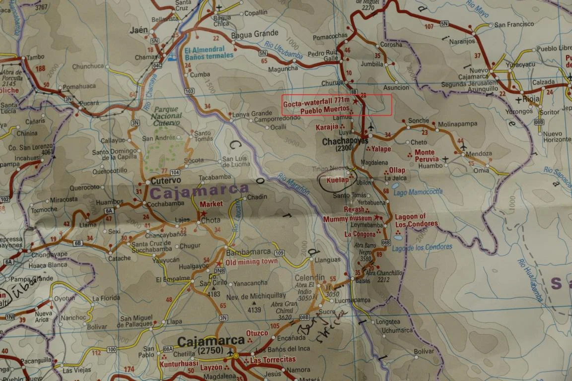
Leymebamba hosts a museum where more than 200 mummies are displayed which were detected some 20 years ago in an old burial place near the Laguna de Los Condors. The people belonged to the Chachapoyas (“Warriors of the Clouds”) which lived in the cloud forest and were conquered by the Inca in the 15th century.
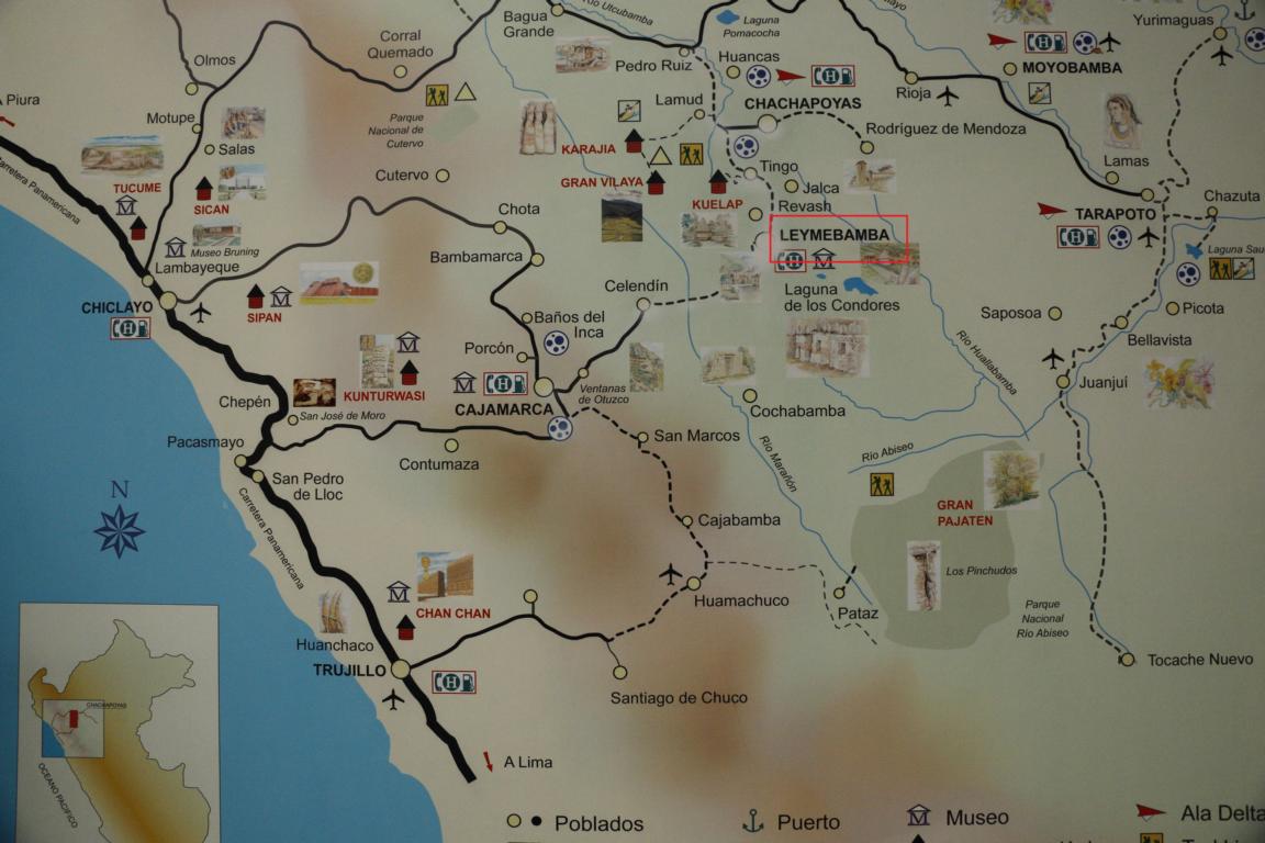
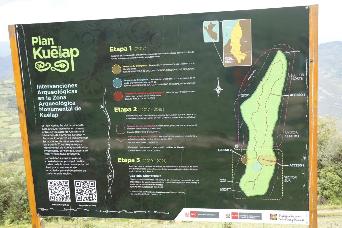
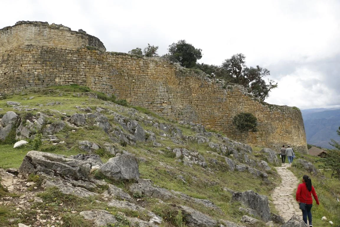
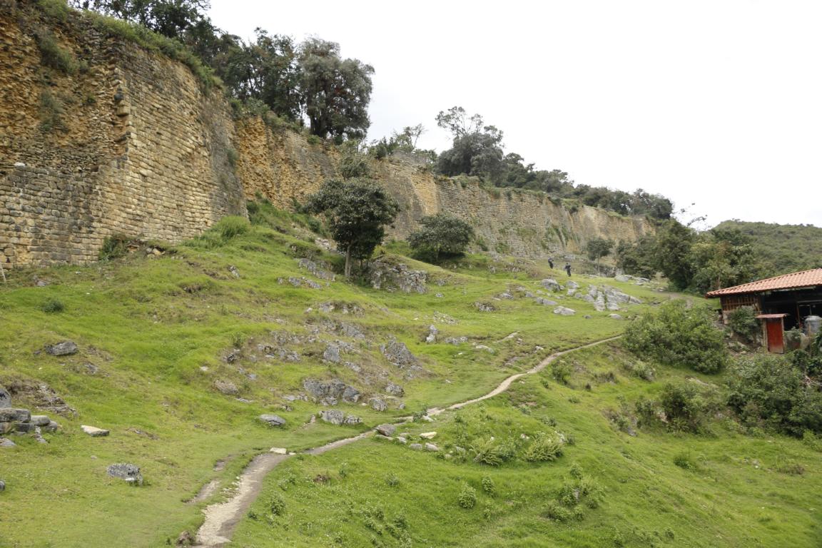
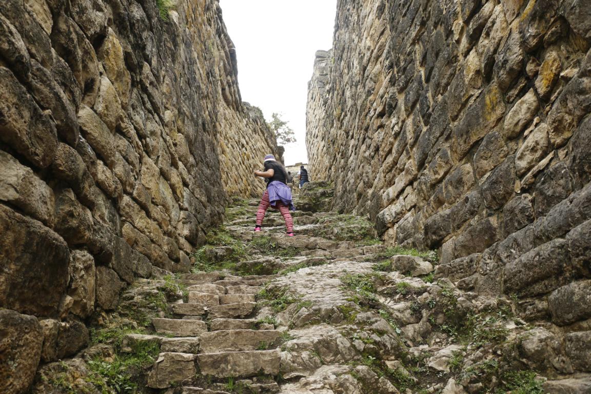
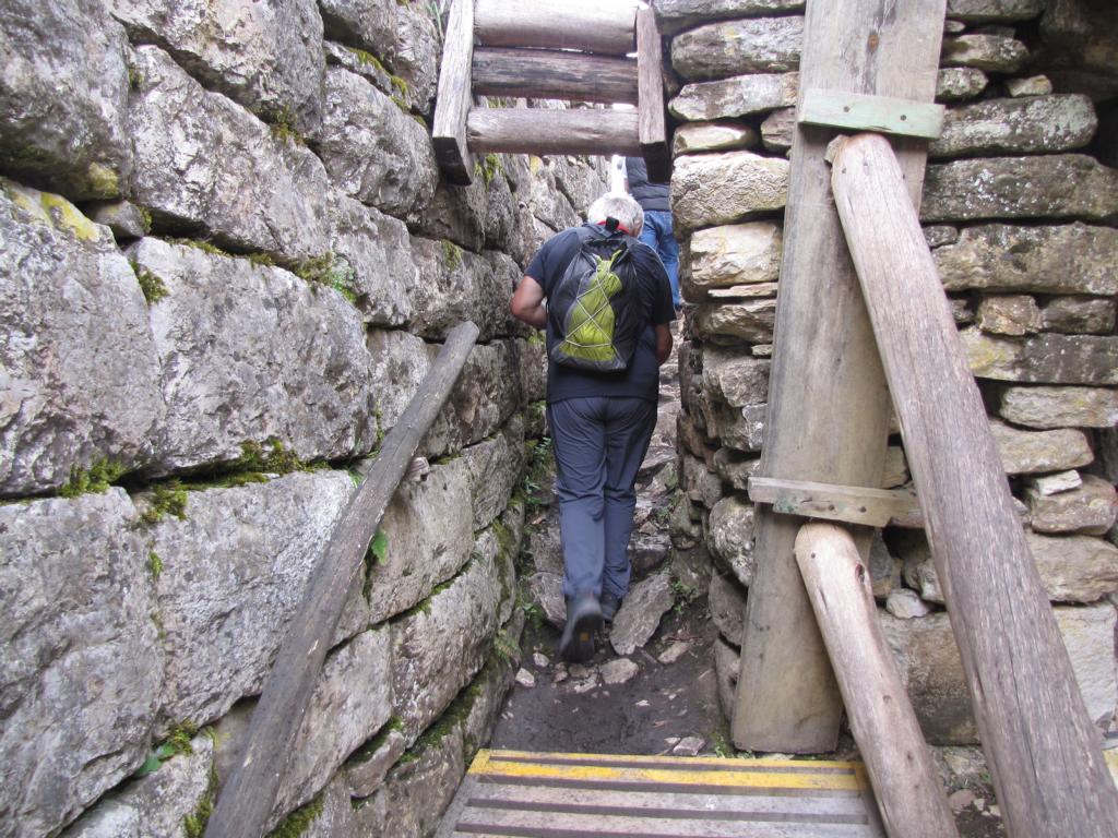
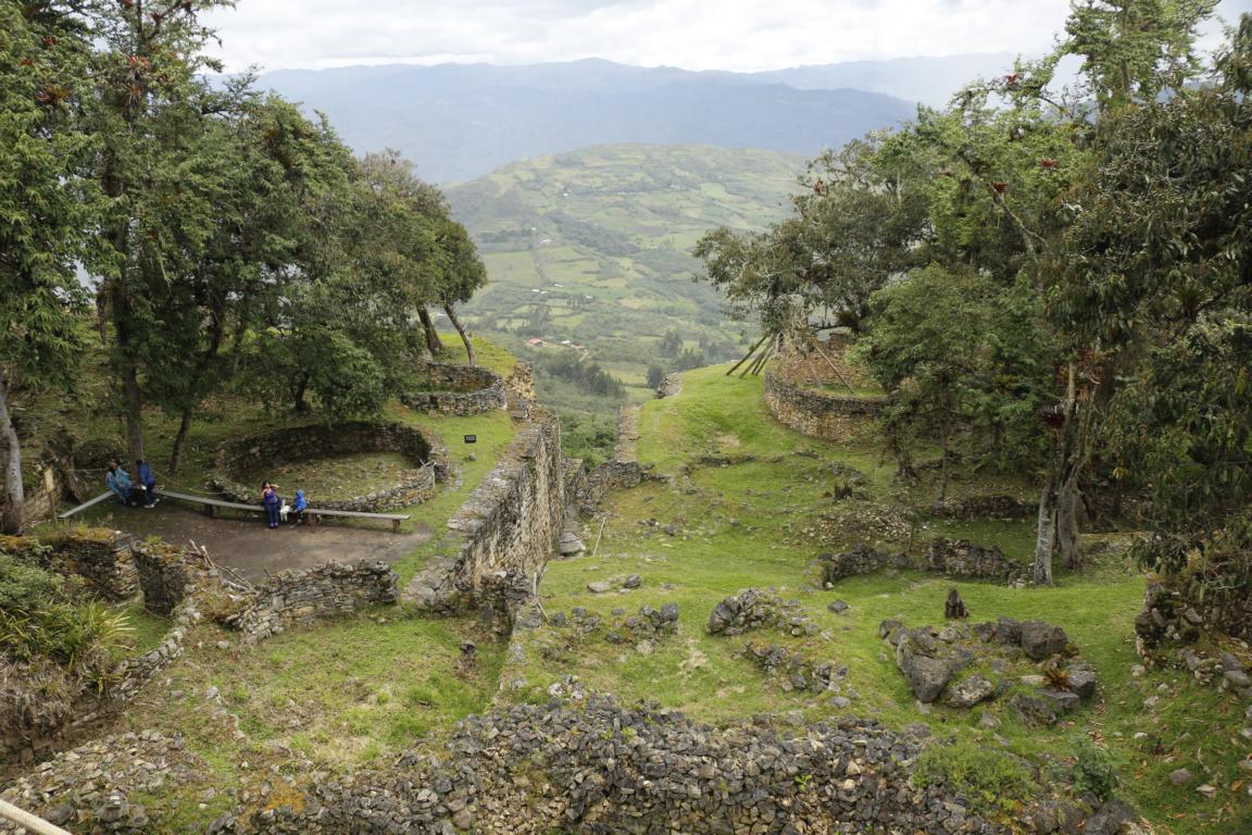
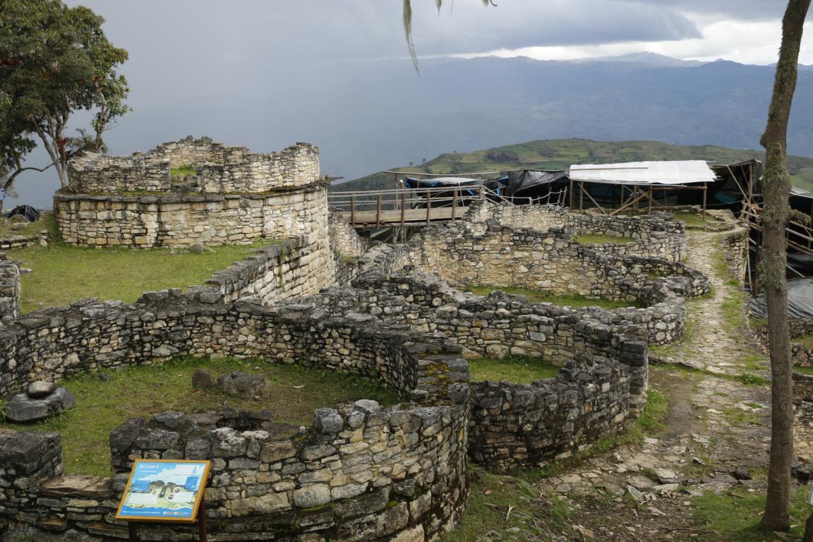
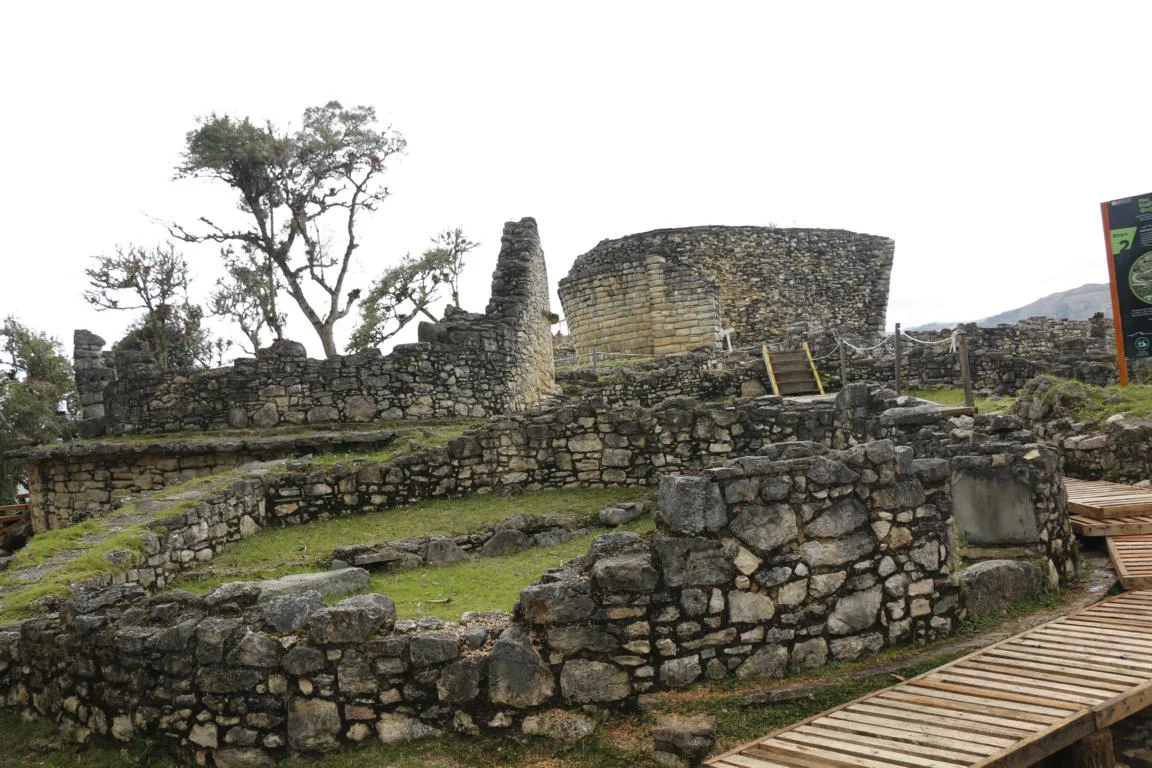
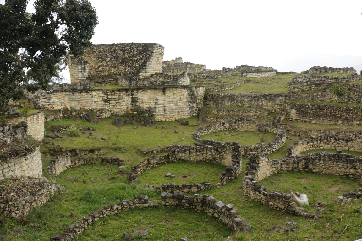
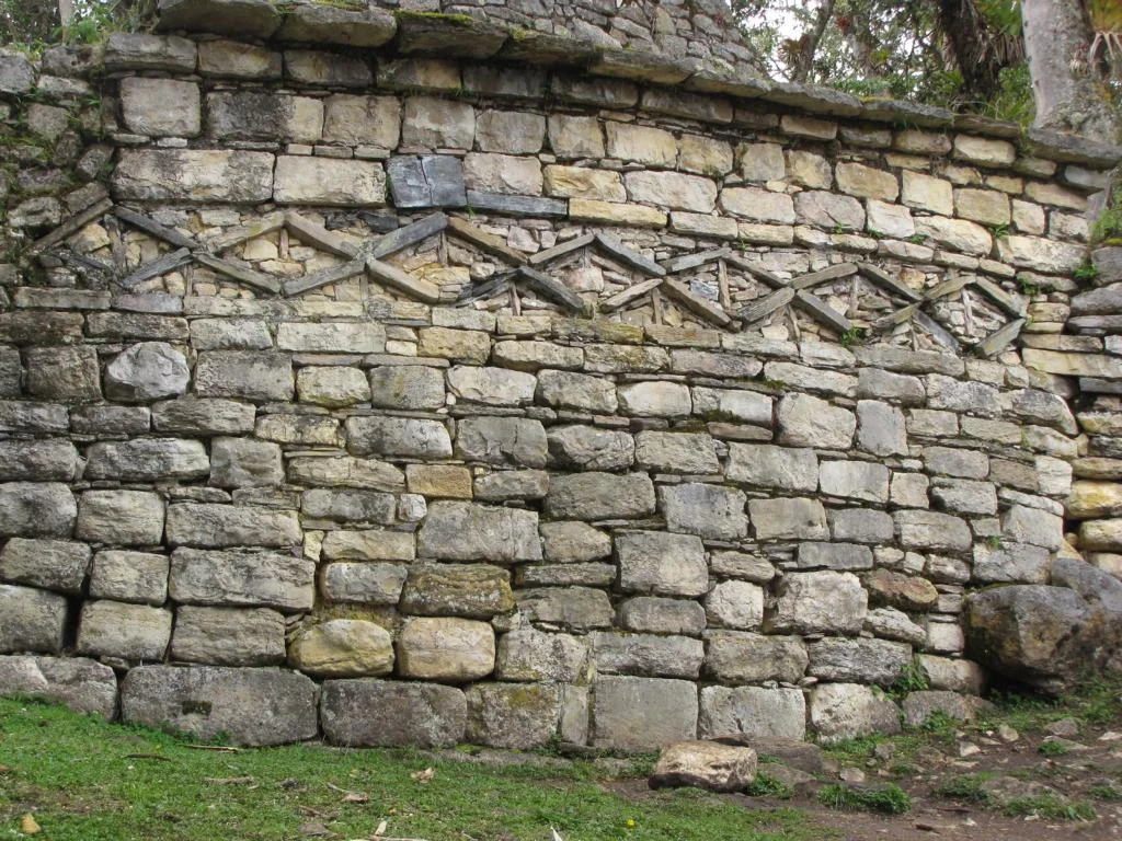
Kuelap (built between 900 and 1100 AD) and located at 3,000m of altitude was a major Chachapoye settlement and fortress. It had been abandoned in 1570 and was rediscovered in 1843.


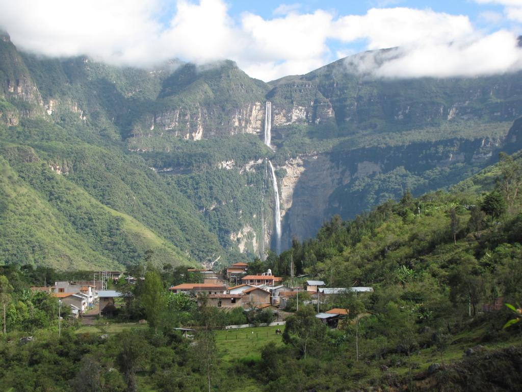
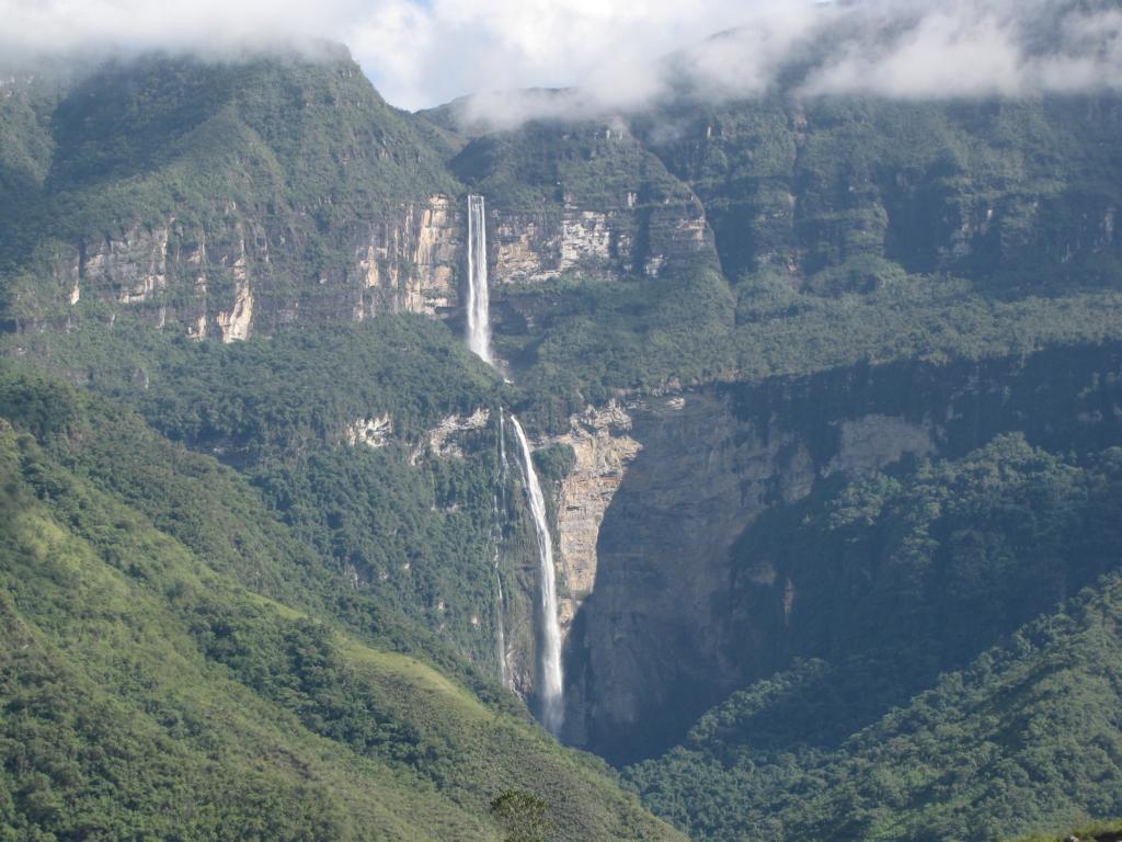
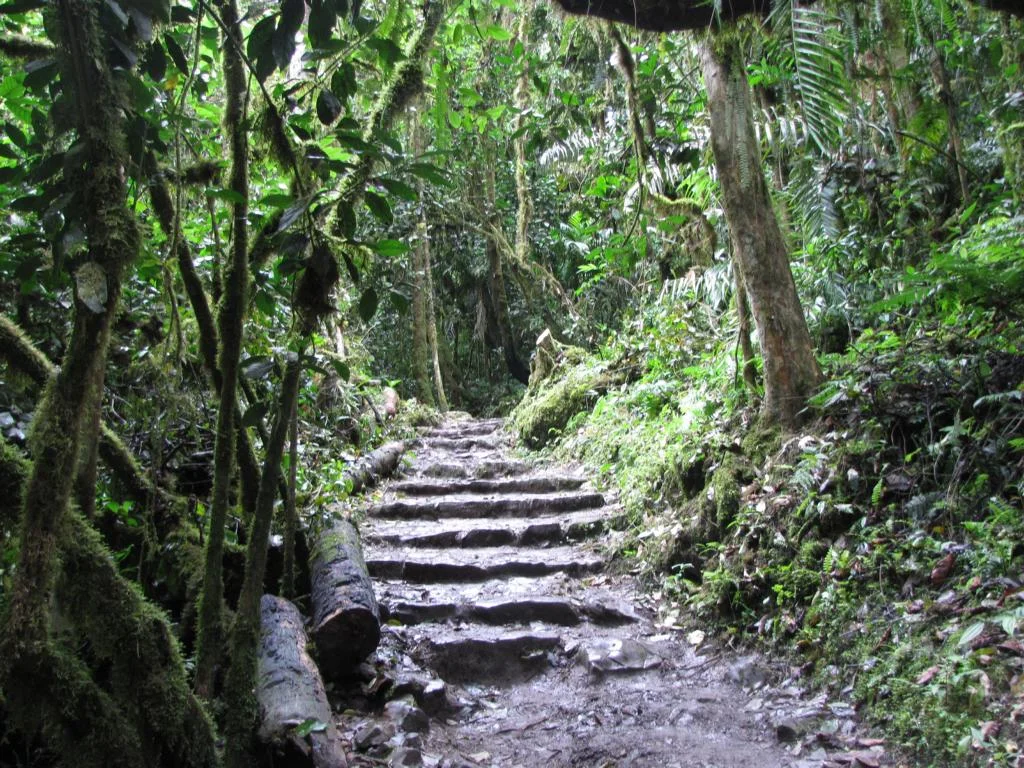
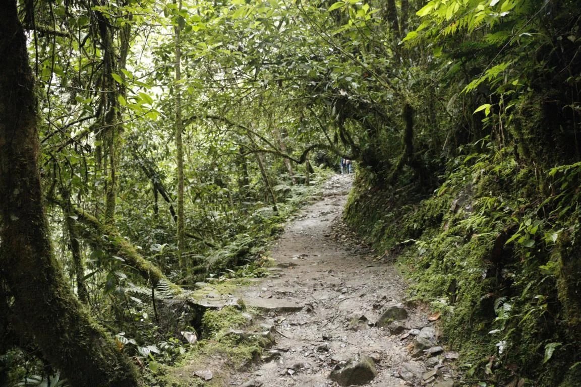
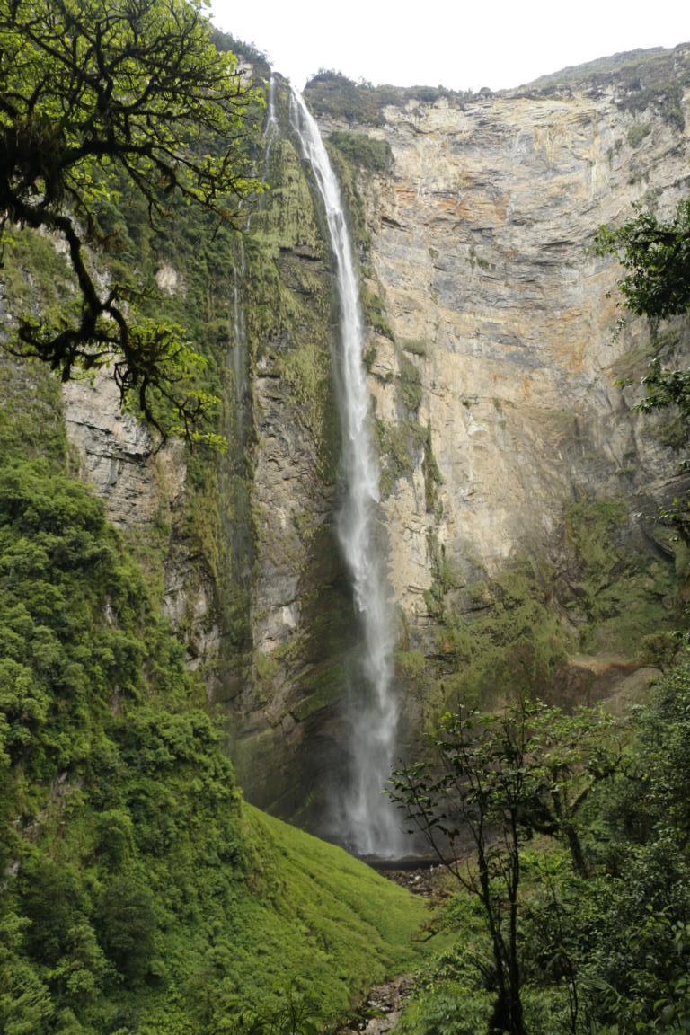
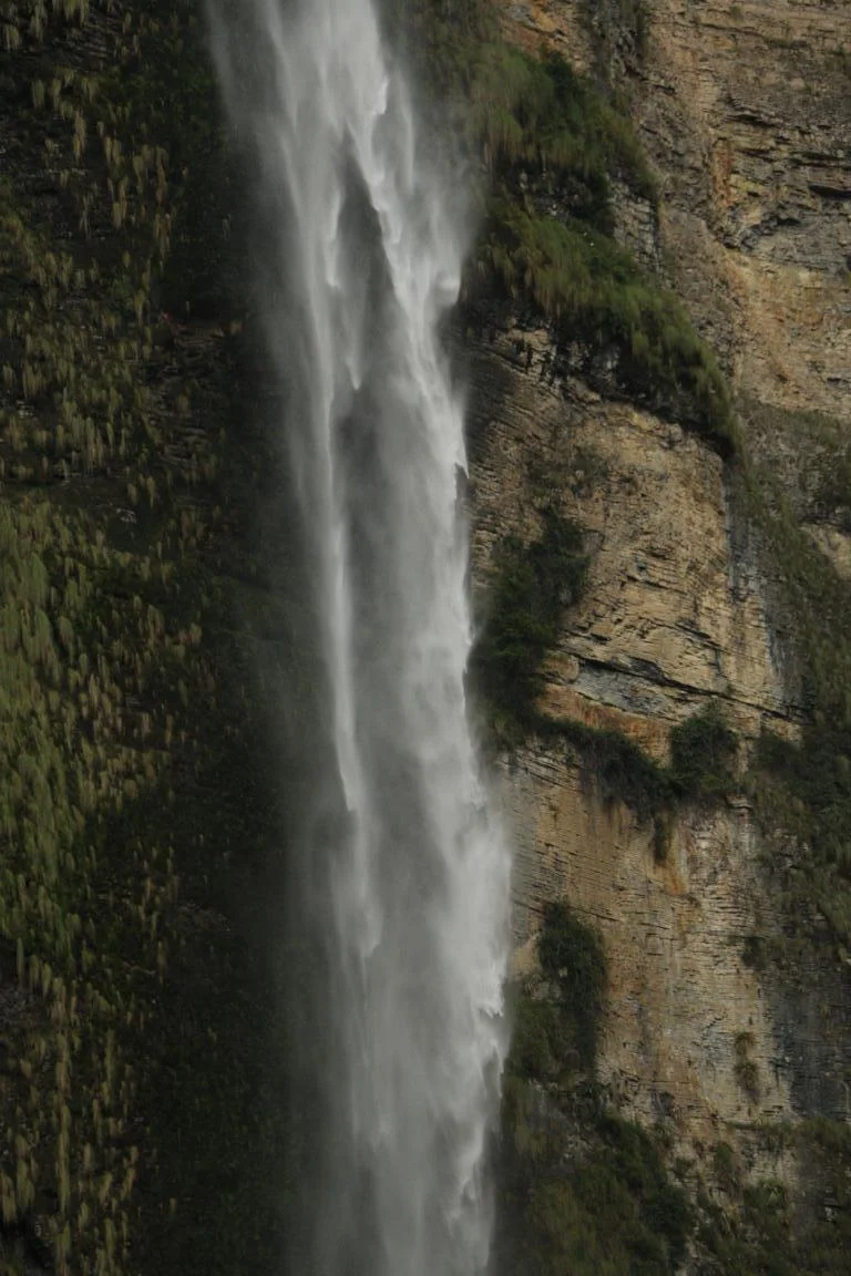
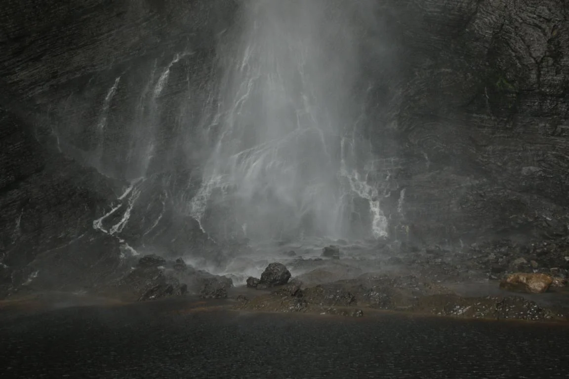
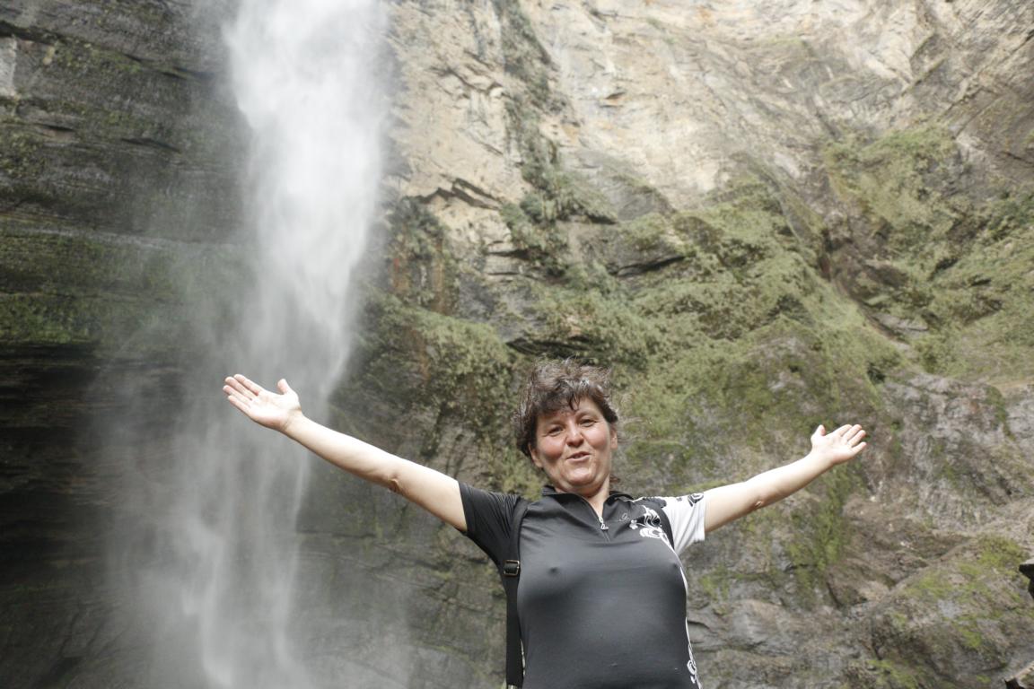
The Gocta waterfall consists of two drops with a total of 771 meters. If it would be one drop it would be the world’s third highest waterfall. The World Waterfall Database therefore ranks Gocta only as the 16th tallest. It takes two hours on a romantic footpath to reach the bottom of the waterfall.

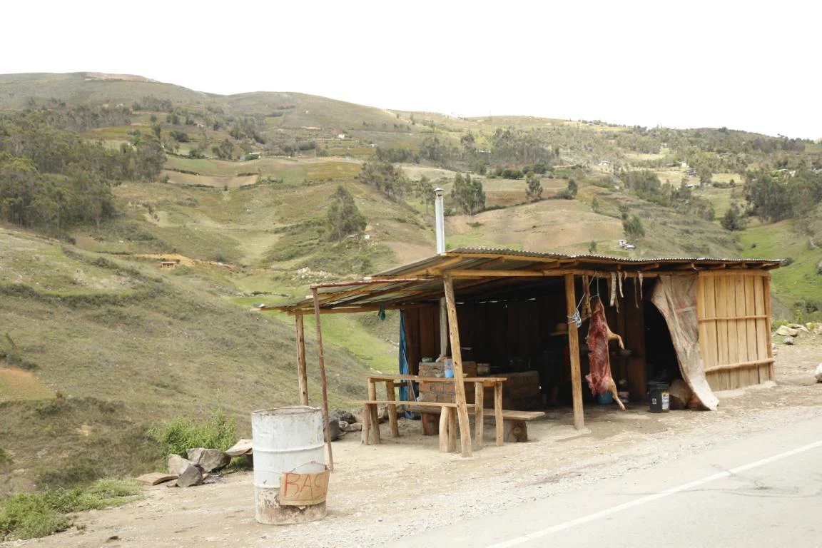
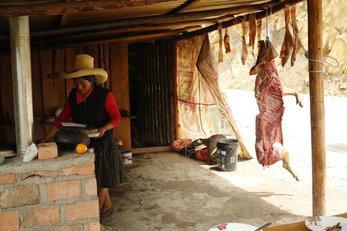
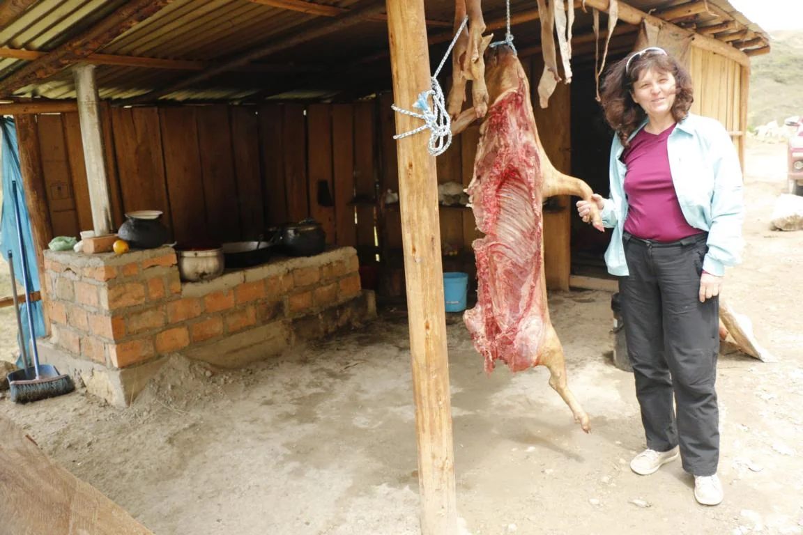
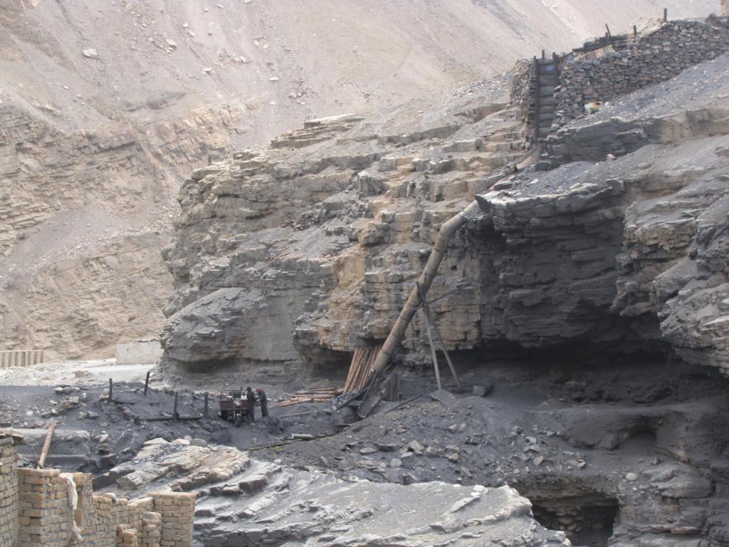
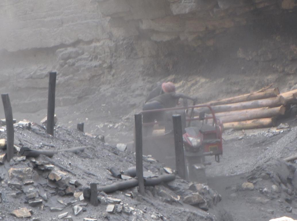
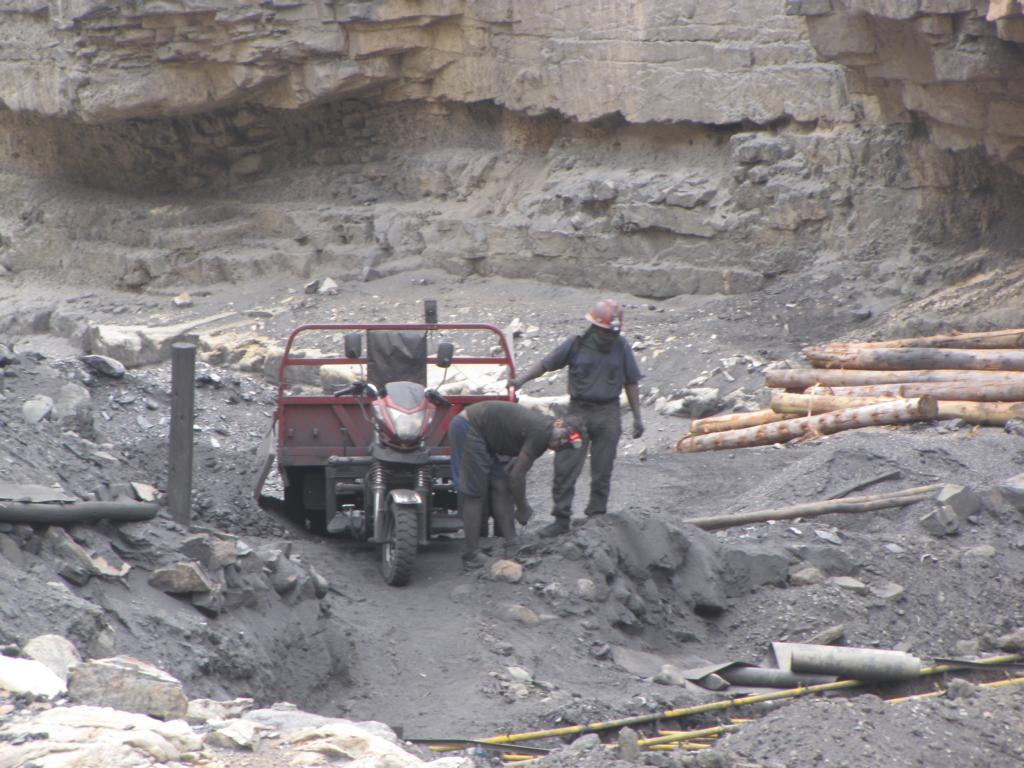
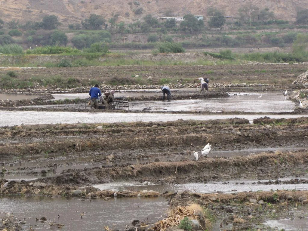
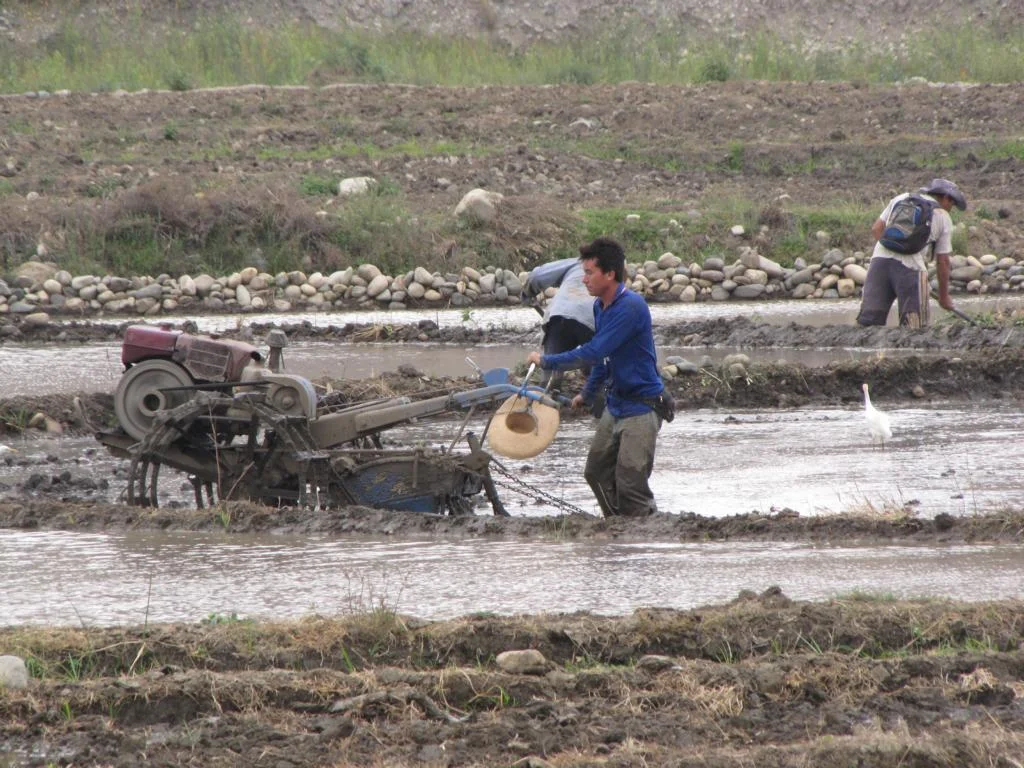
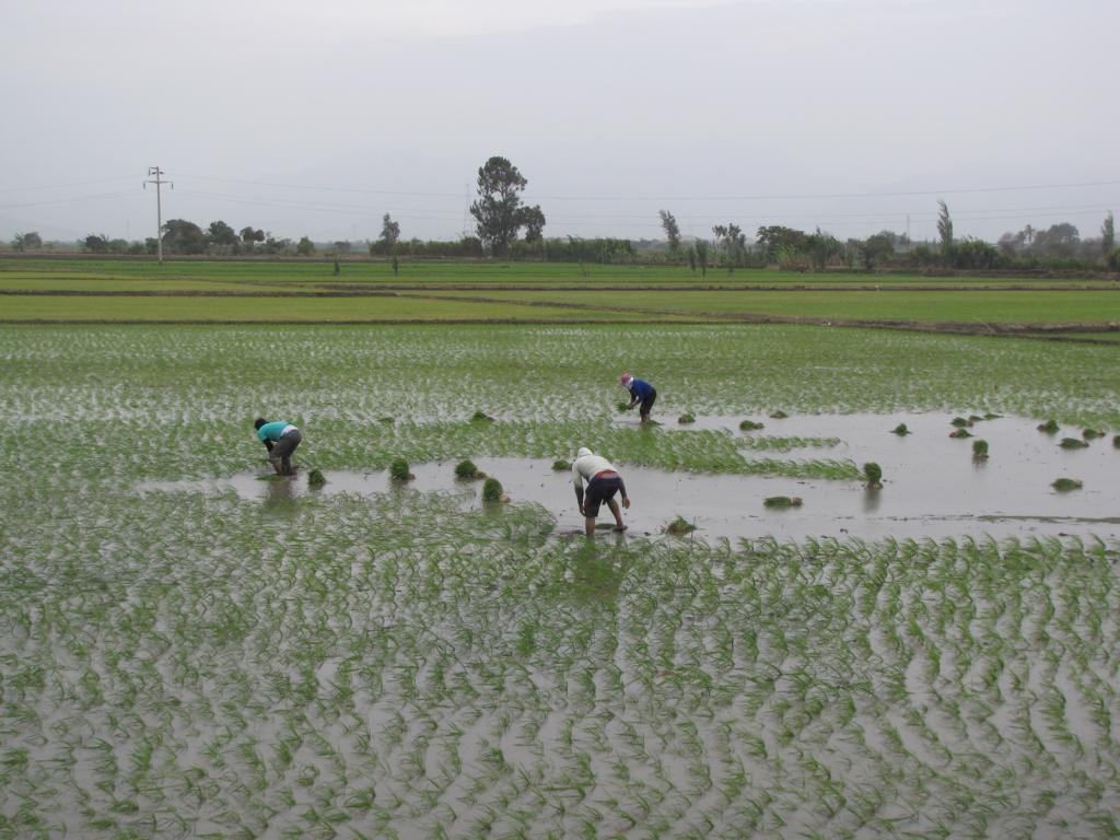
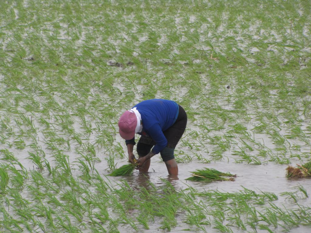
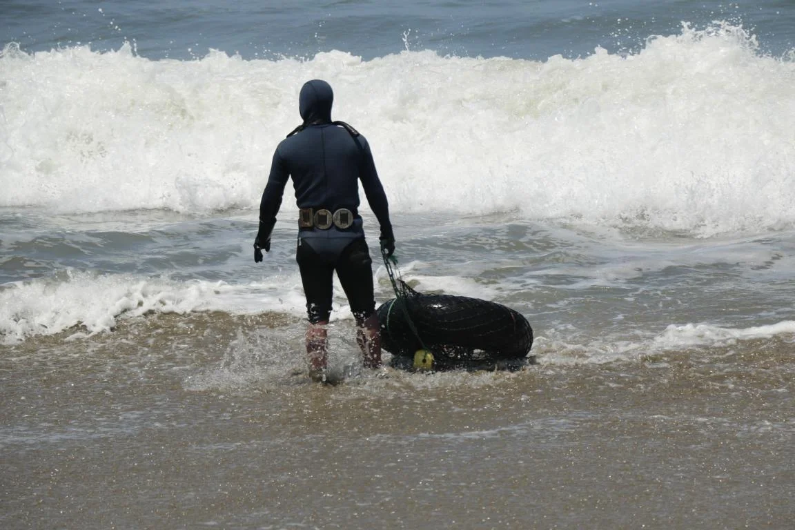
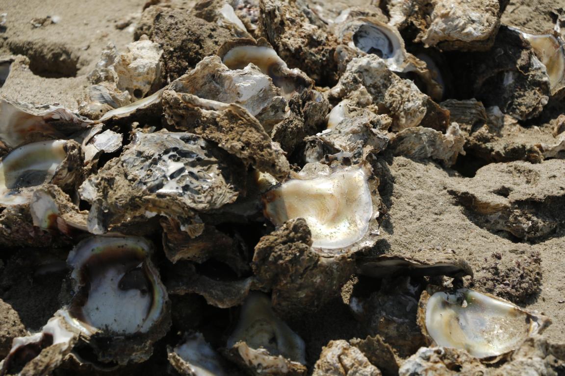
Some photos of people working in informal mining and agriculture. Working conditions obviously are harsh.
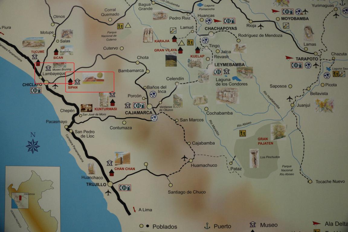
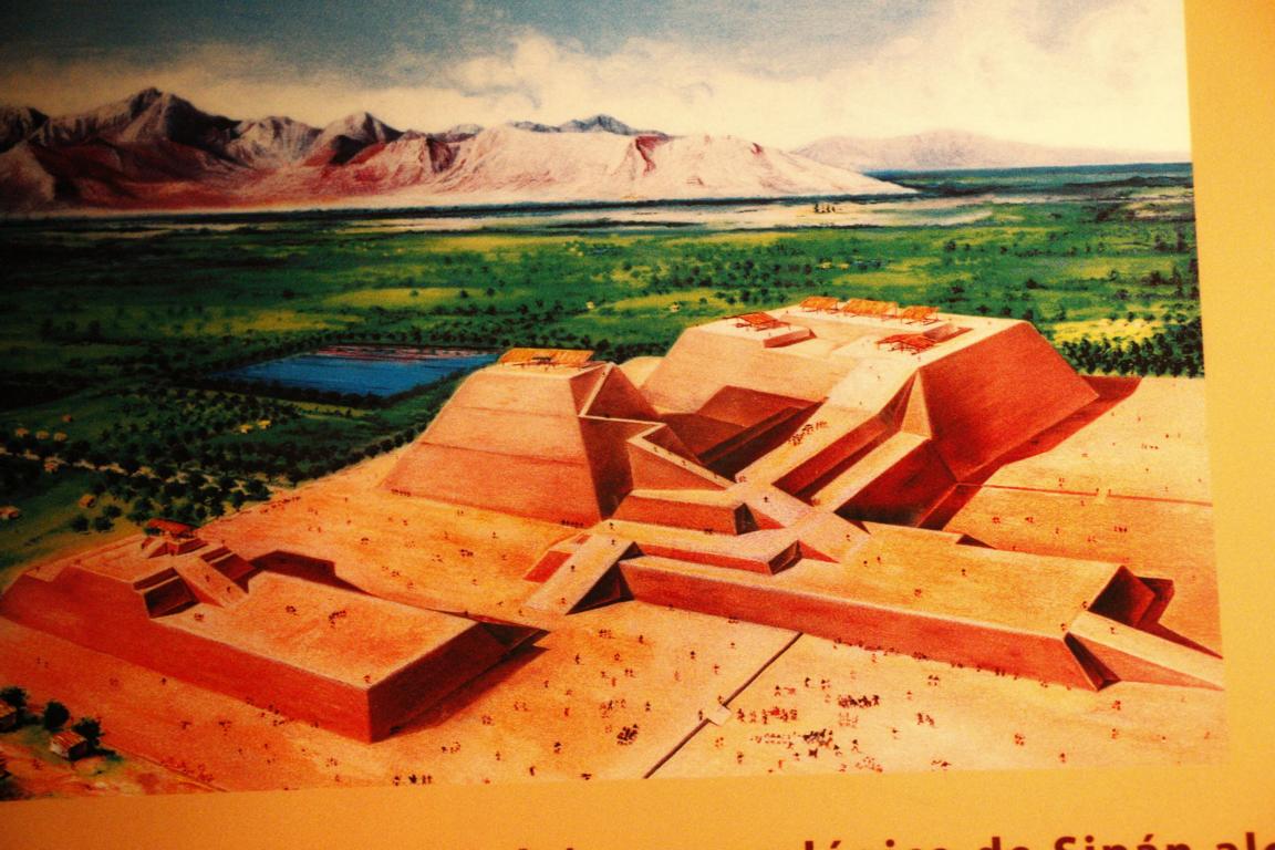
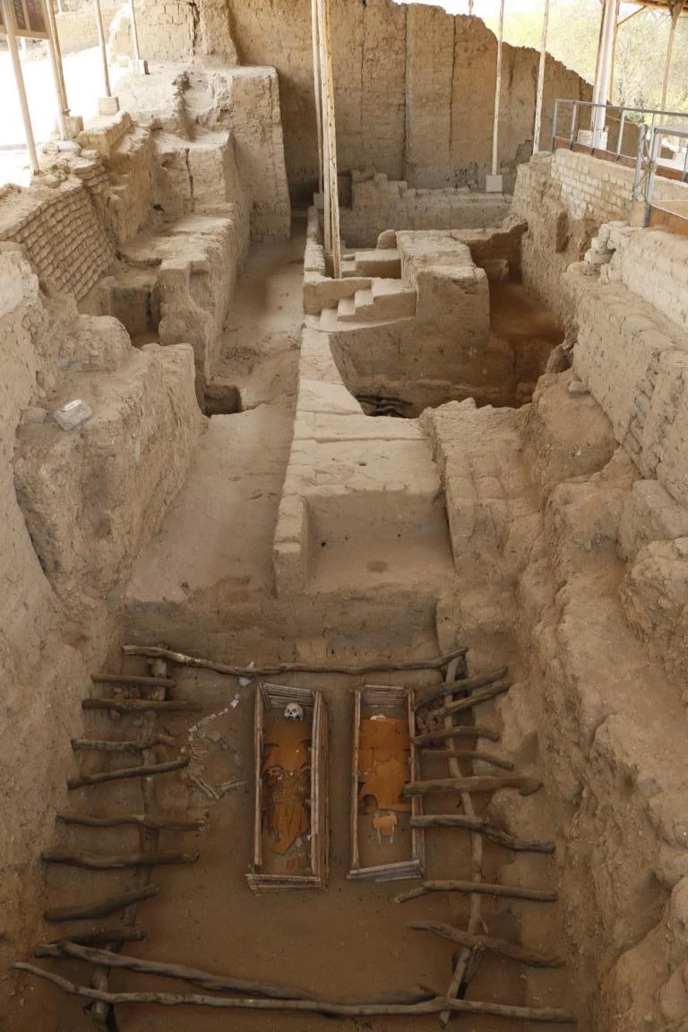
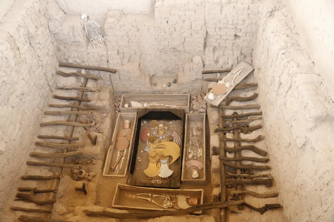
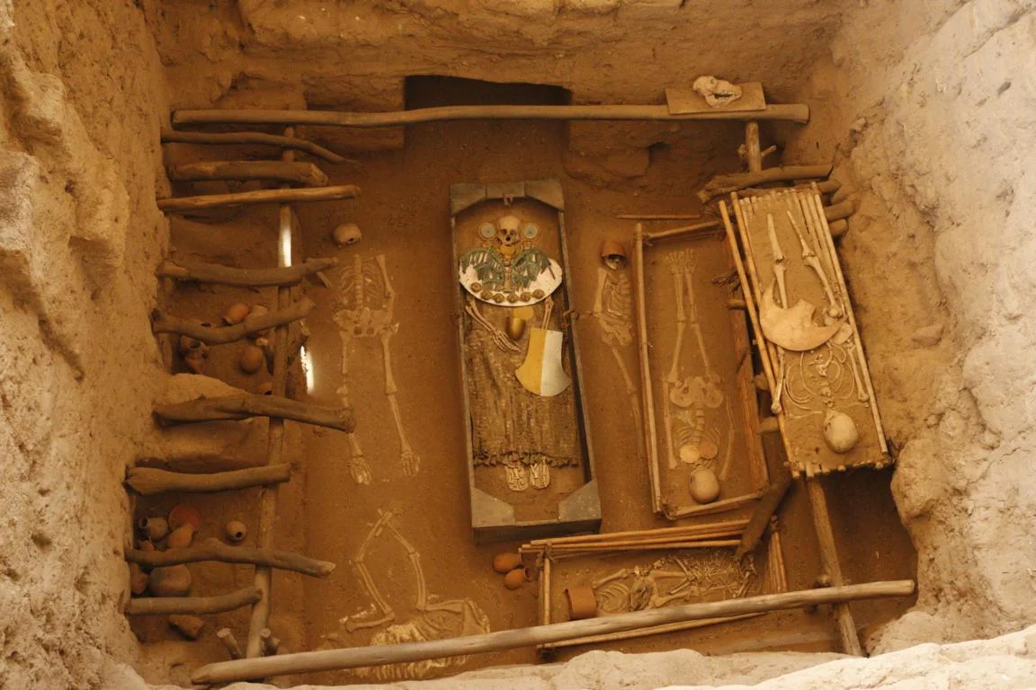
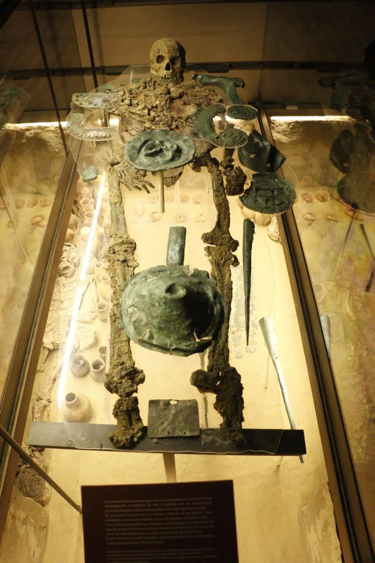
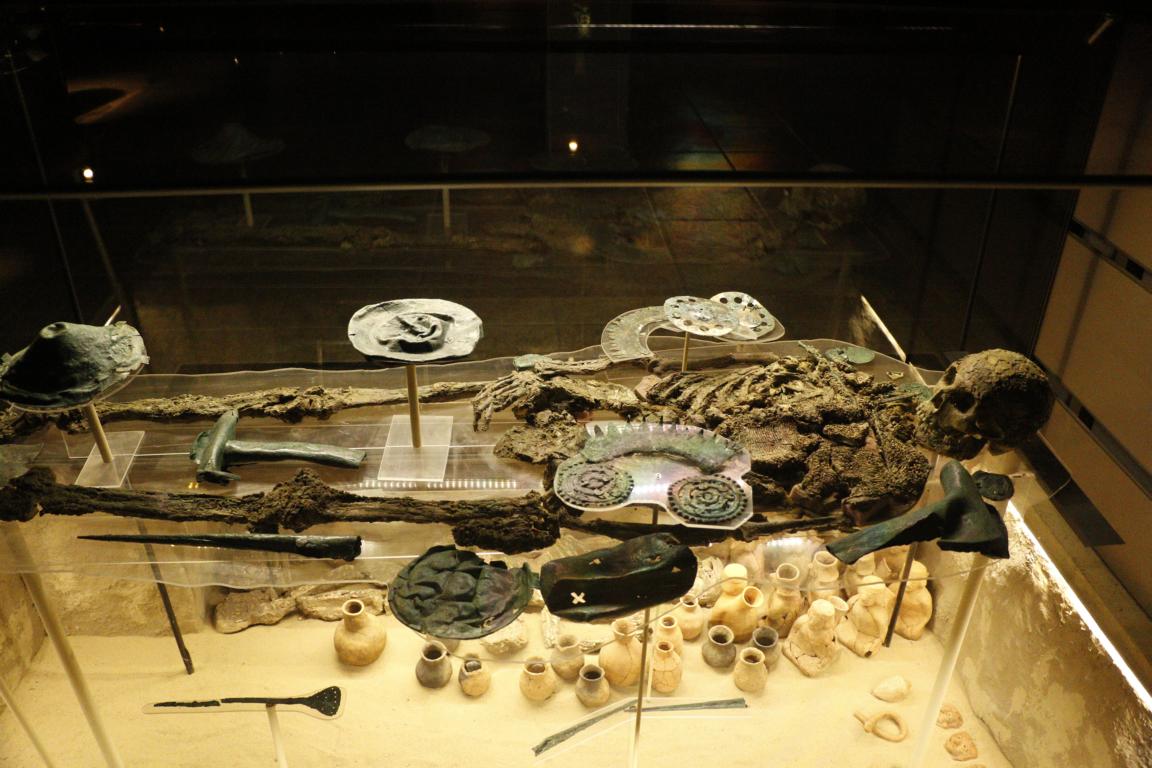
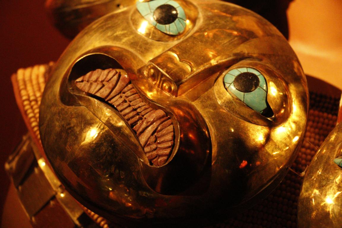
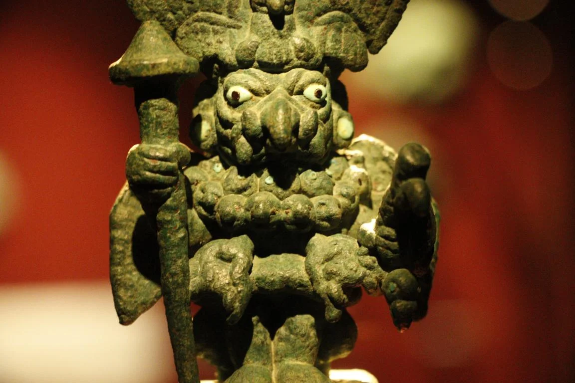
From 50-700 AD Sipán was the center of the Moche culture. Excavations in the area of two pyramids started in 1987 and lead to the discovery of the tomb of the Lord of Sipán (El Señor de Sipán) which contained one of the biggest gold treasure ever detected in South America. The dignities were buried together with their wives, servants and lamas.


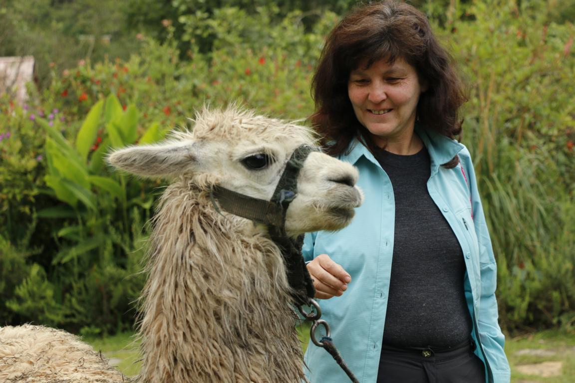
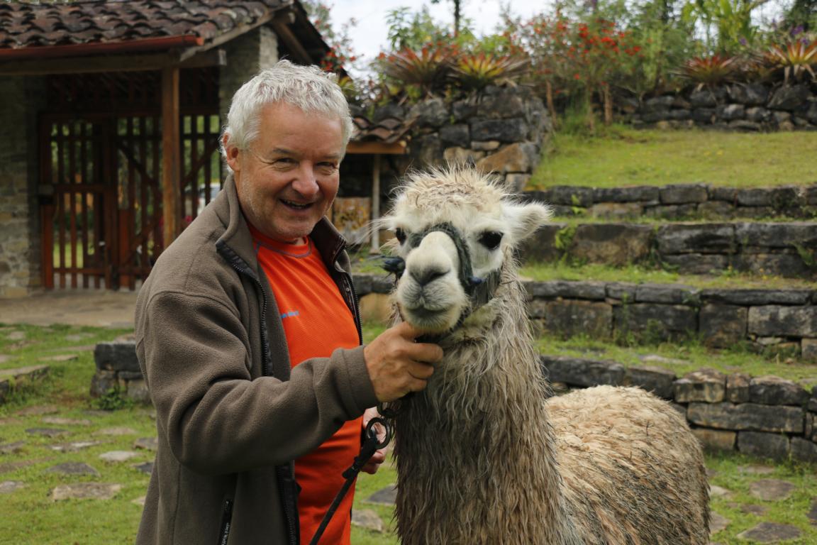
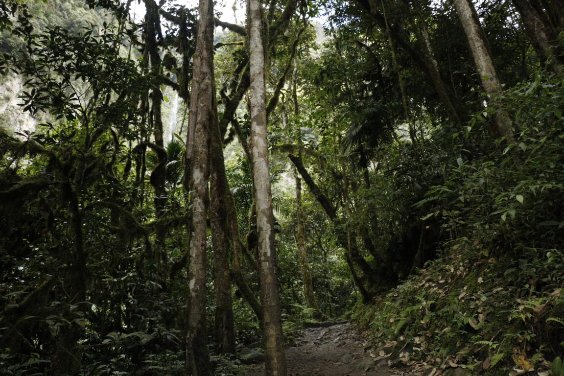
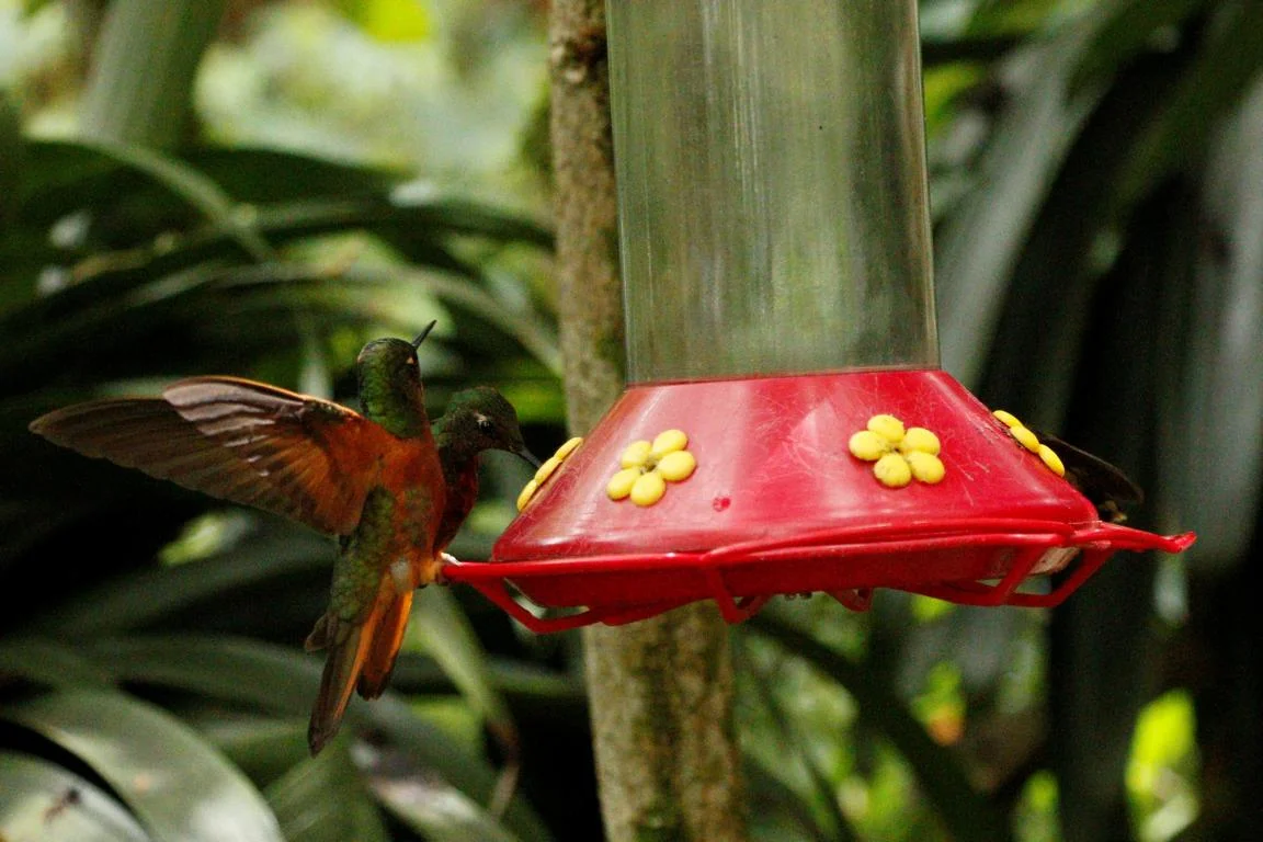
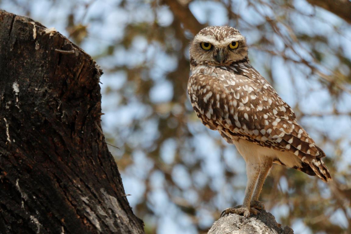
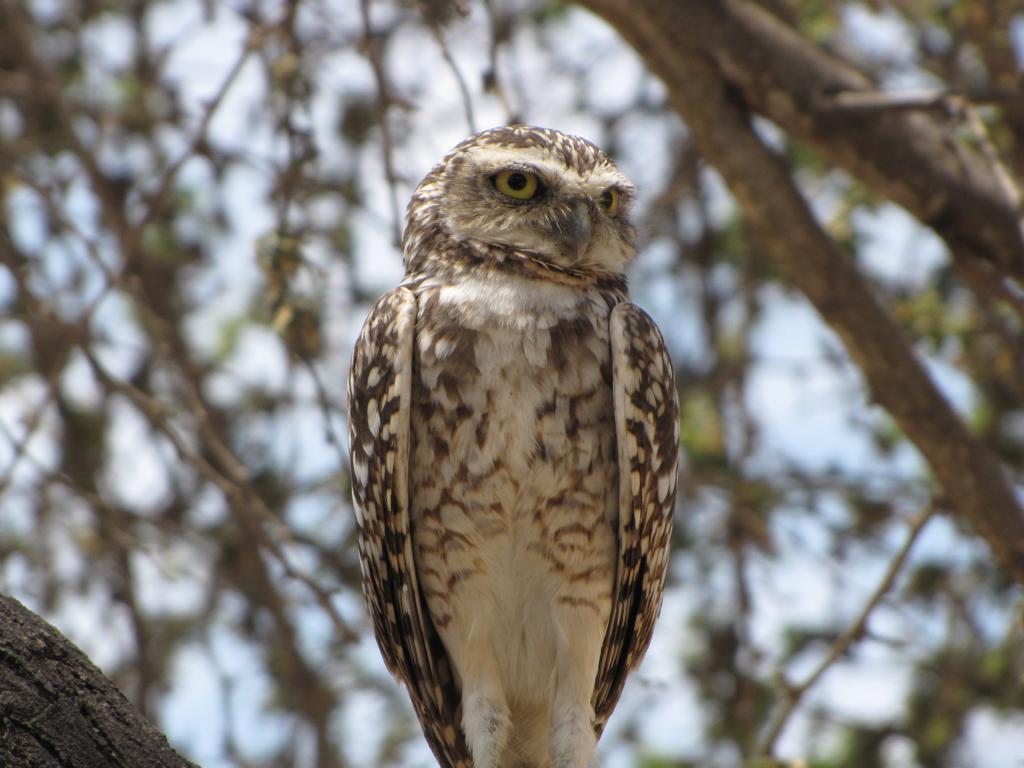
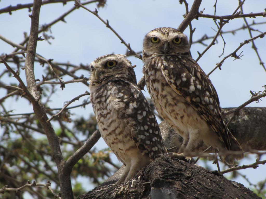
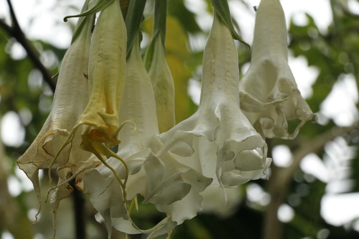
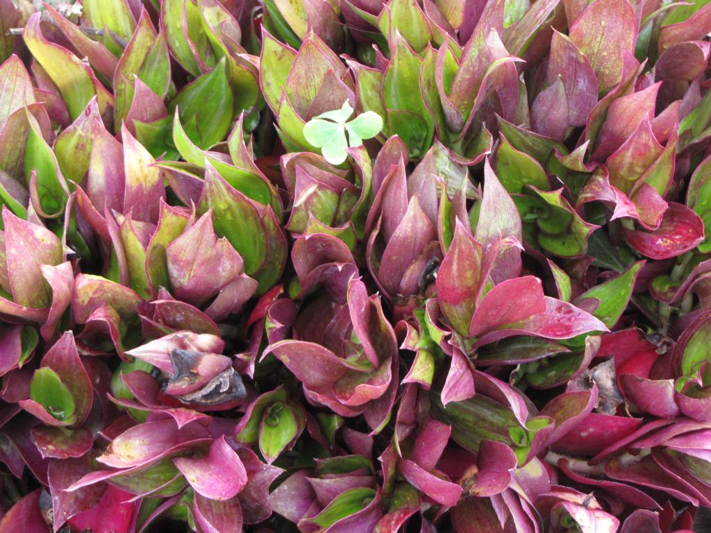
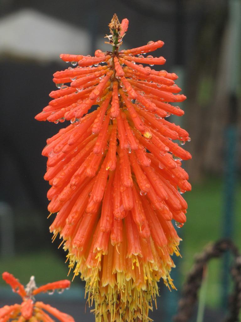
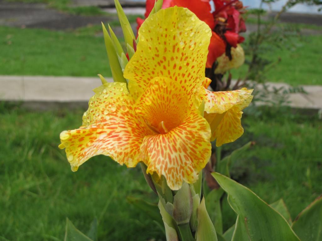
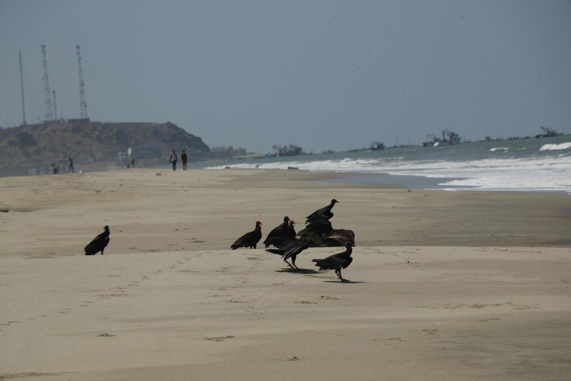
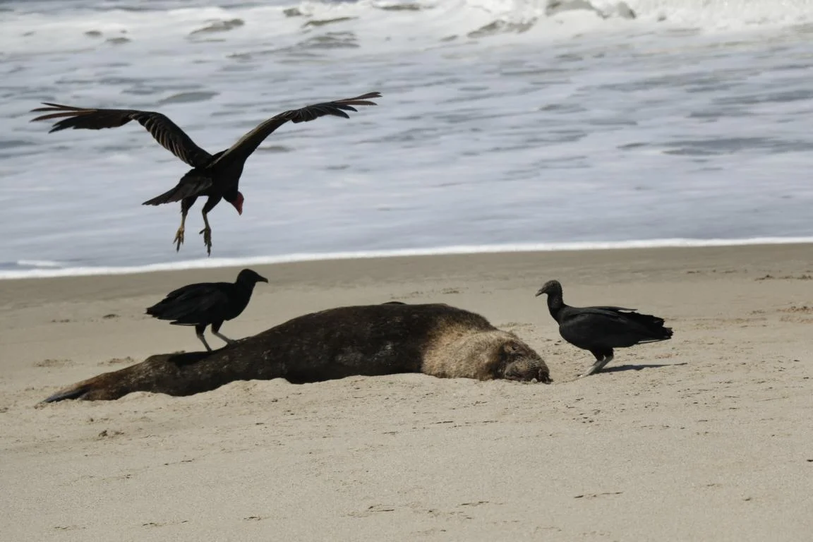
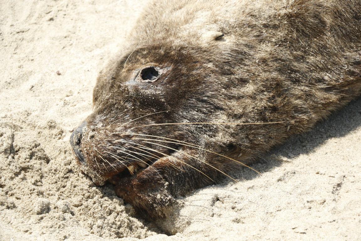
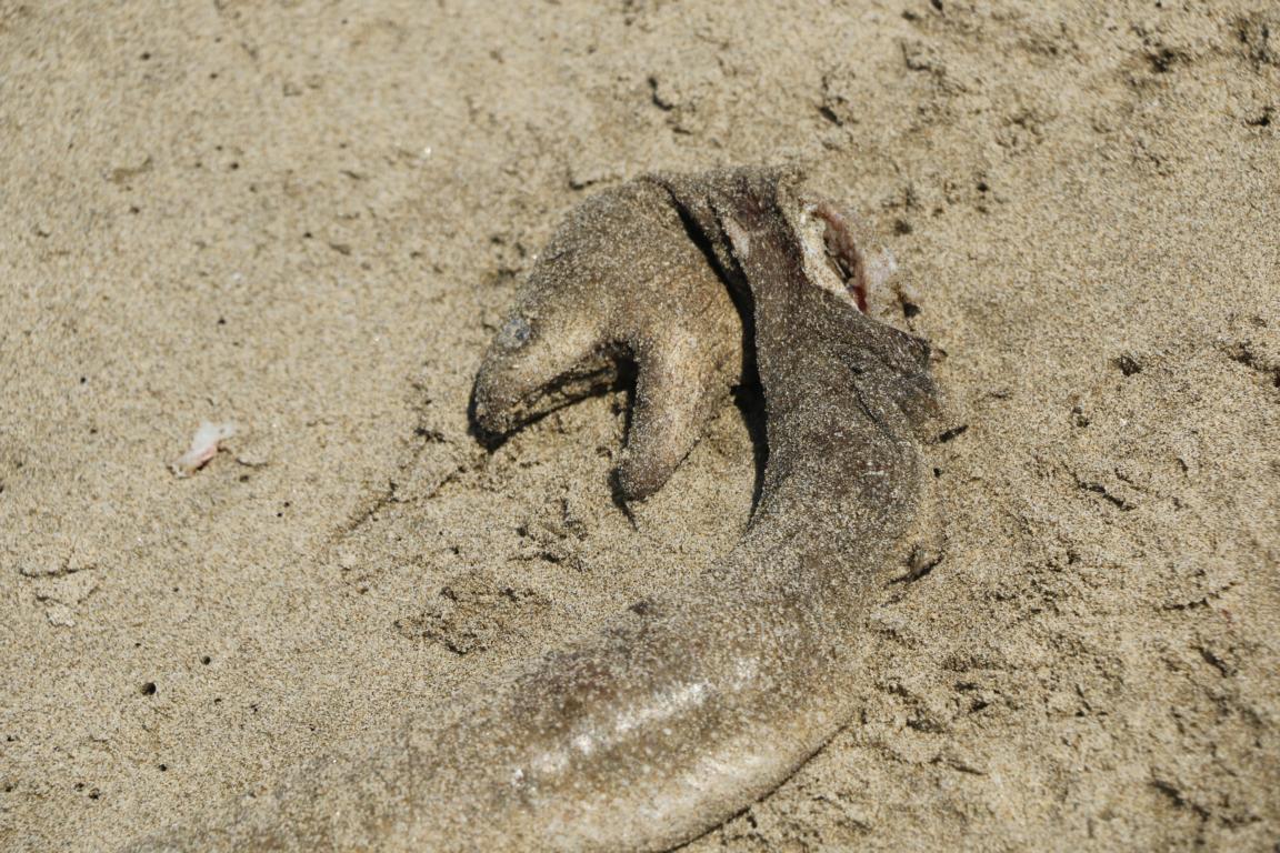
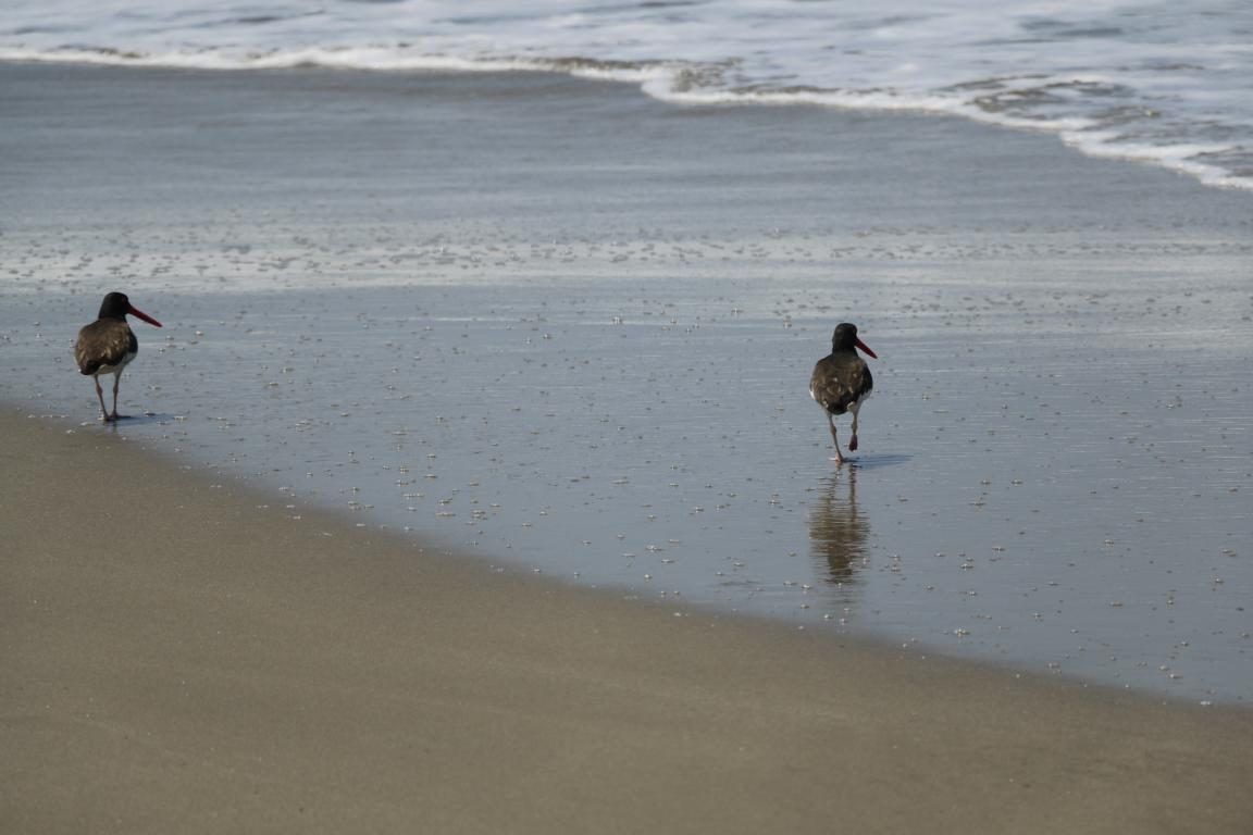
Some photos showing fauna and flora we found along our travel route.


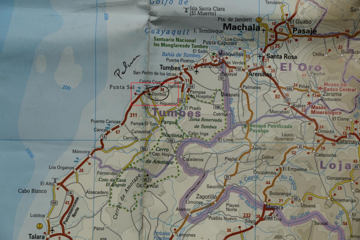
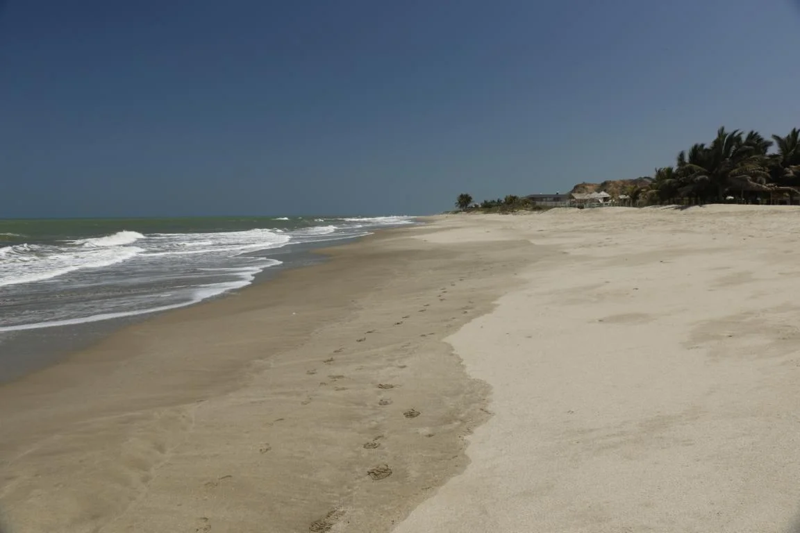
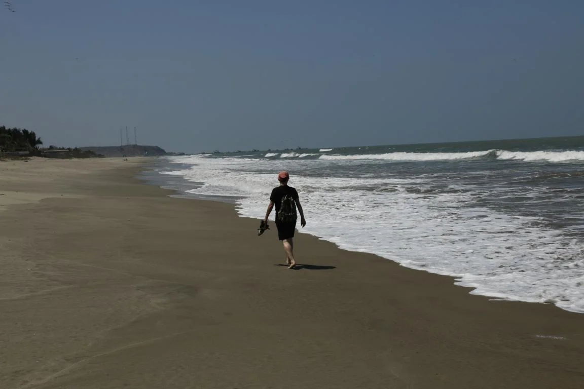
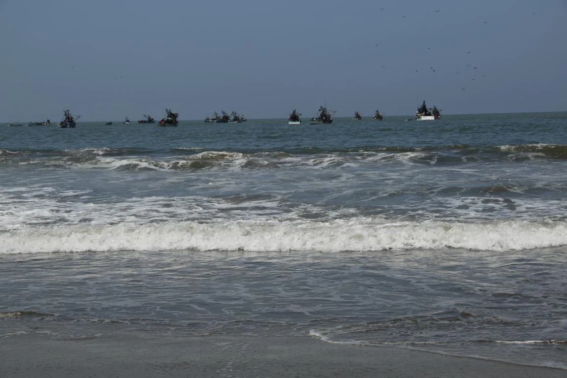
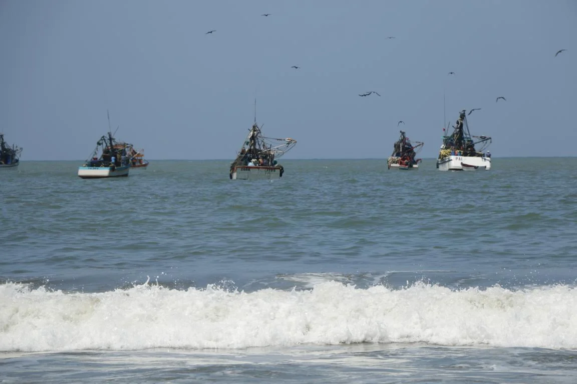
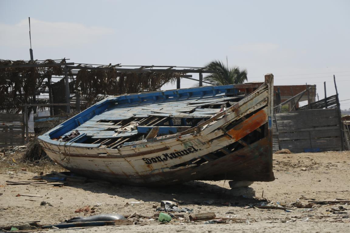
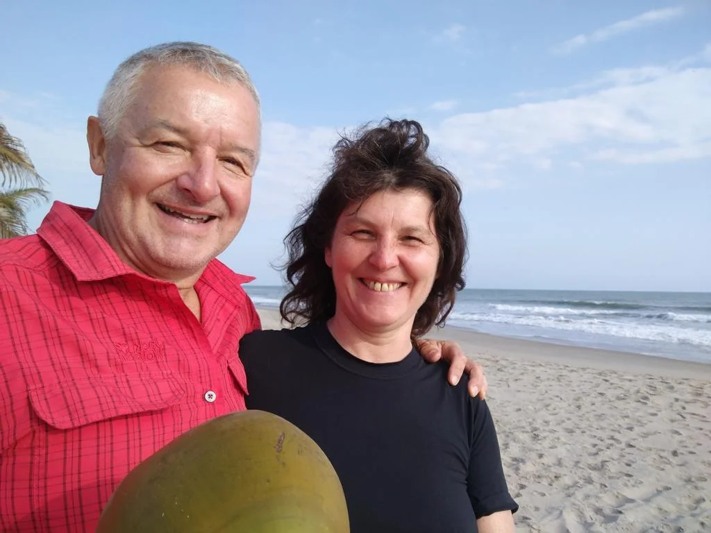
After several weeks of travelling we finally took a few days break at the beach near Zorritos, where the water is already significantly warmer.


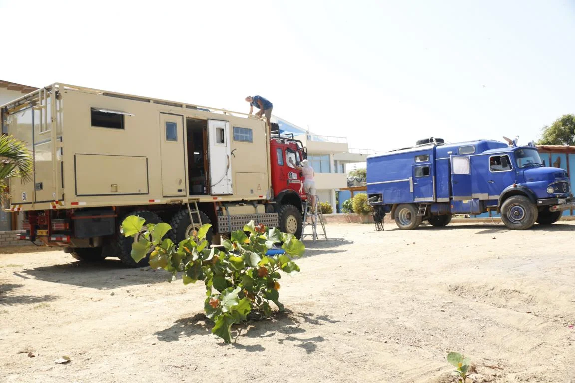
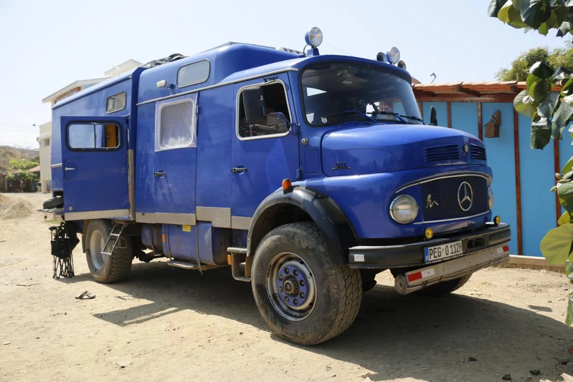
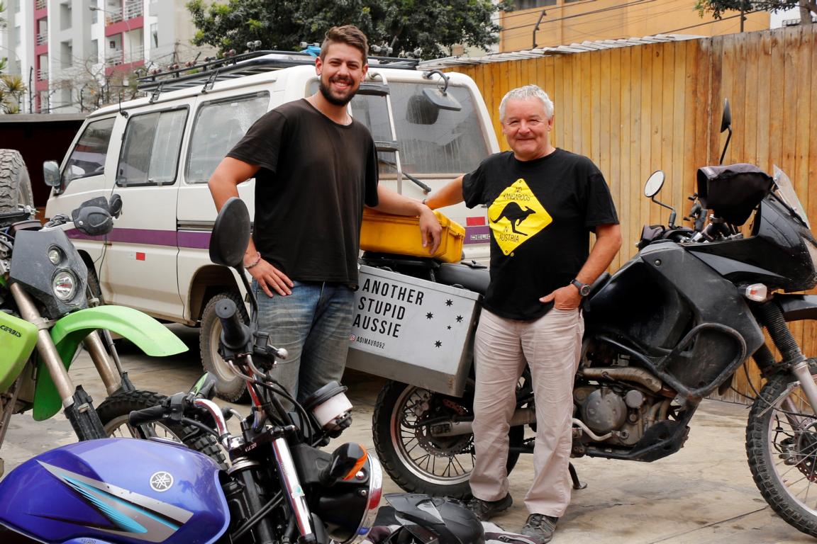
If somebody thinks that our car is big, then look at these overland trucks. Beyond that I am struggling an uphill-battle educating people that Austria is not Australia. Wearing a “No Kangaroos in Austria“-T-Shirt helps.