North / North-East Afghanistan 2012/13
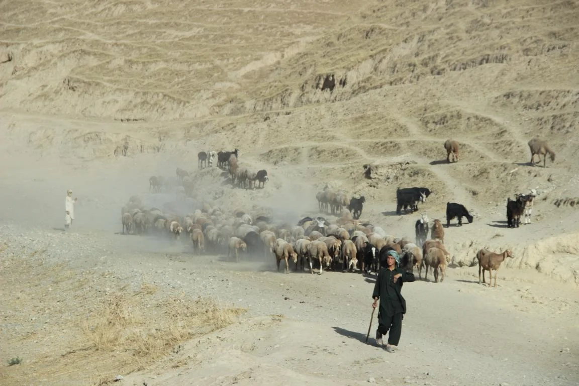
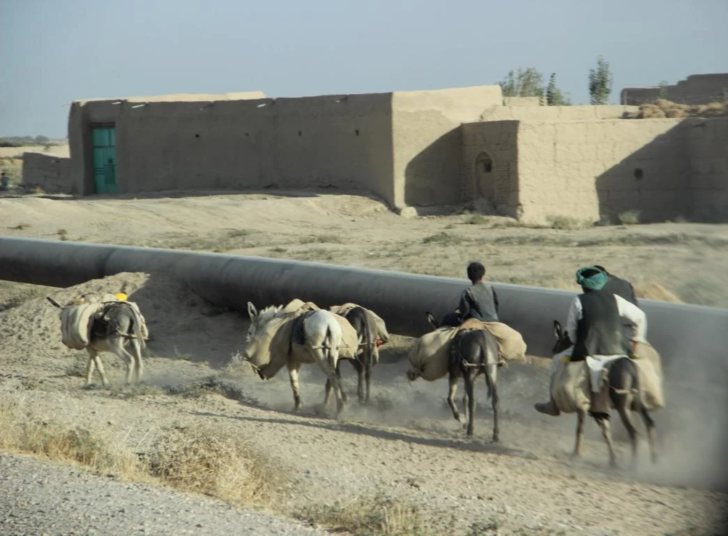
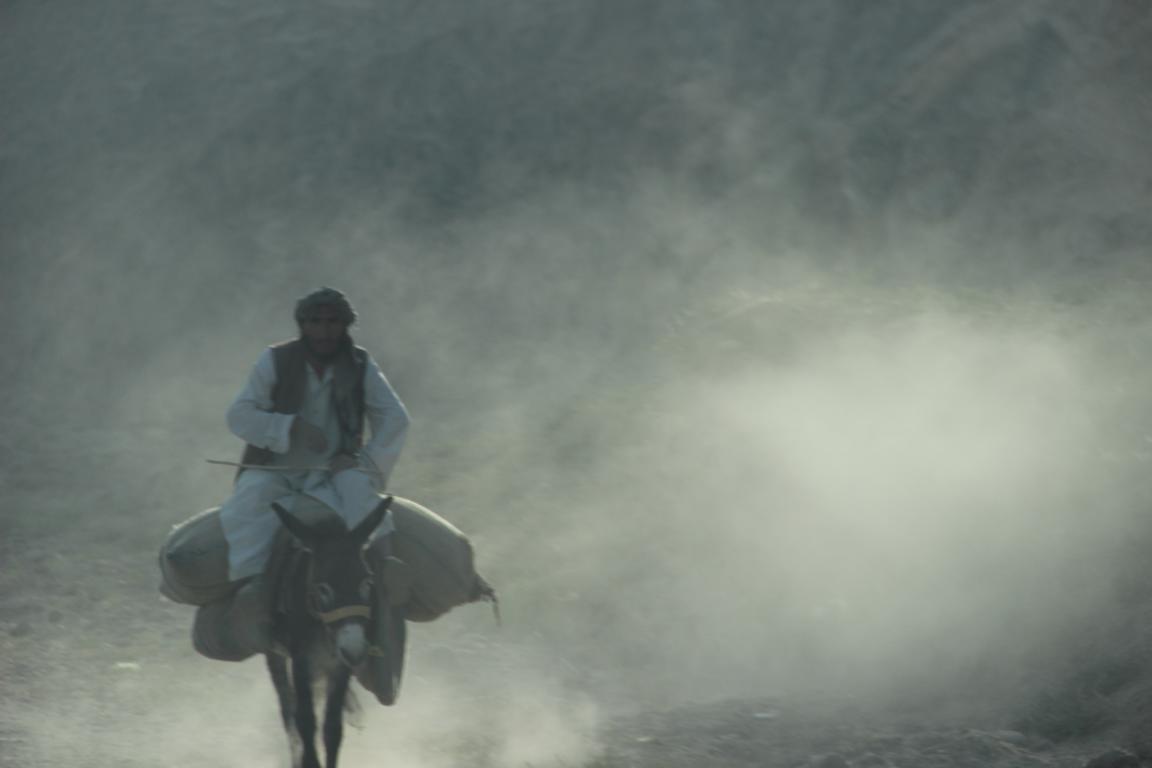
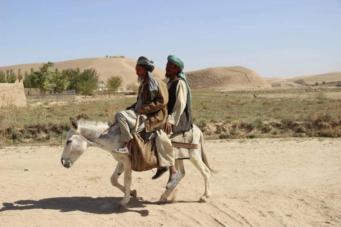
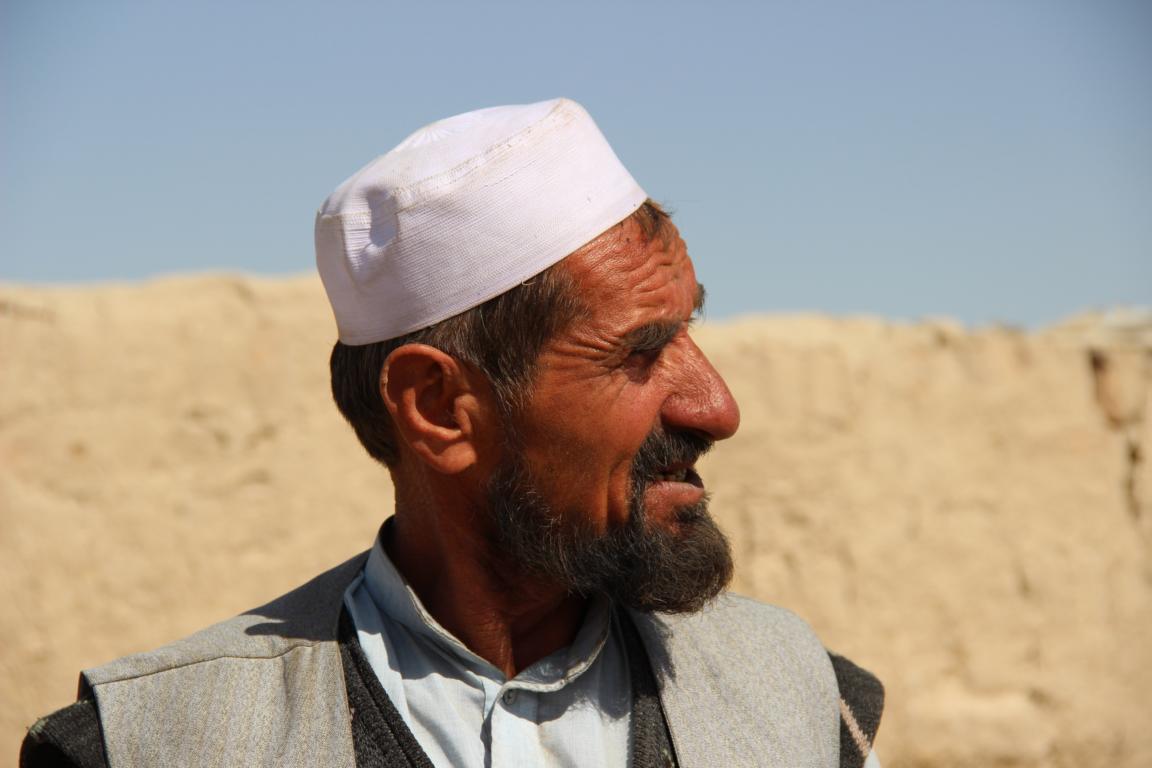
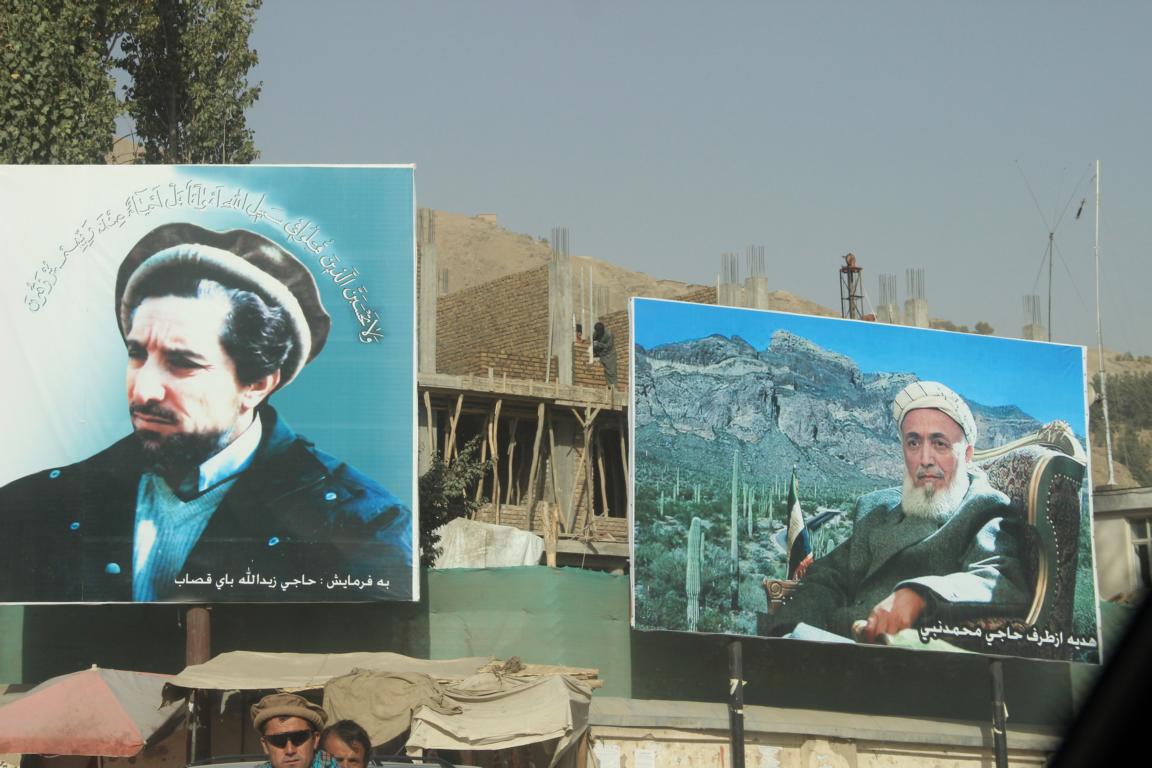
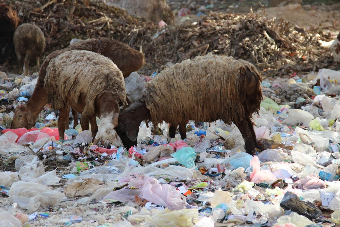
Please find below some pictures from two field trips to North and North-East Afghanistan 2012/13 which show the harshness of life and work in these provinces. The purpose of our field trips was to assess the preparation for the April 2014 presidential elections and to meet election stakeholders.
You can access the pics via the following link https://plus.google.com/photos/103945442053805877863/albums/5932423571636283745 or be scrolling through below pics
The pictures show the following topics:
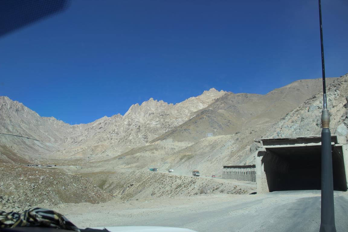
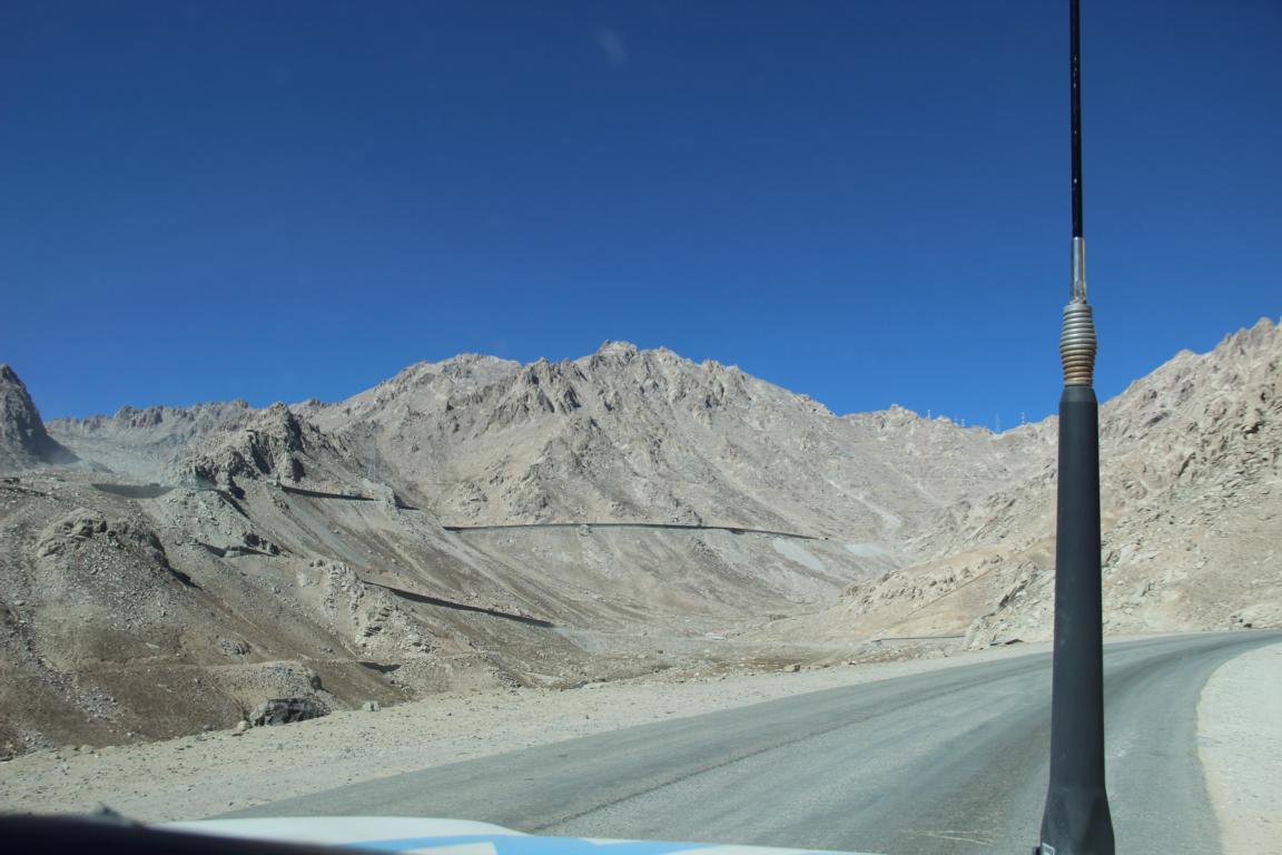
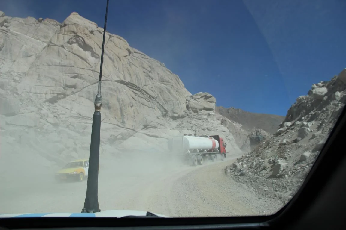
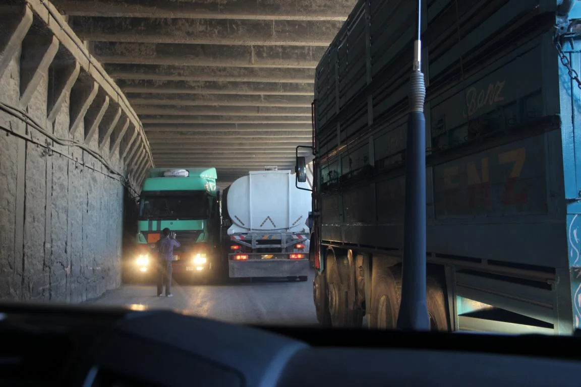
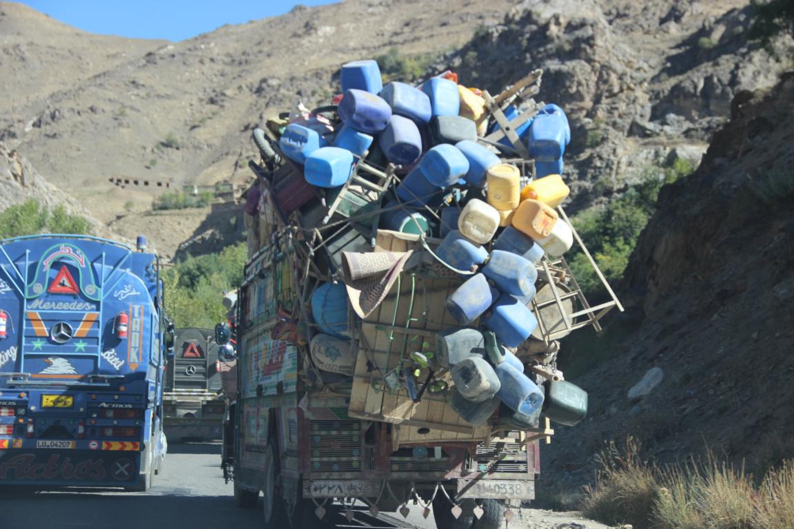
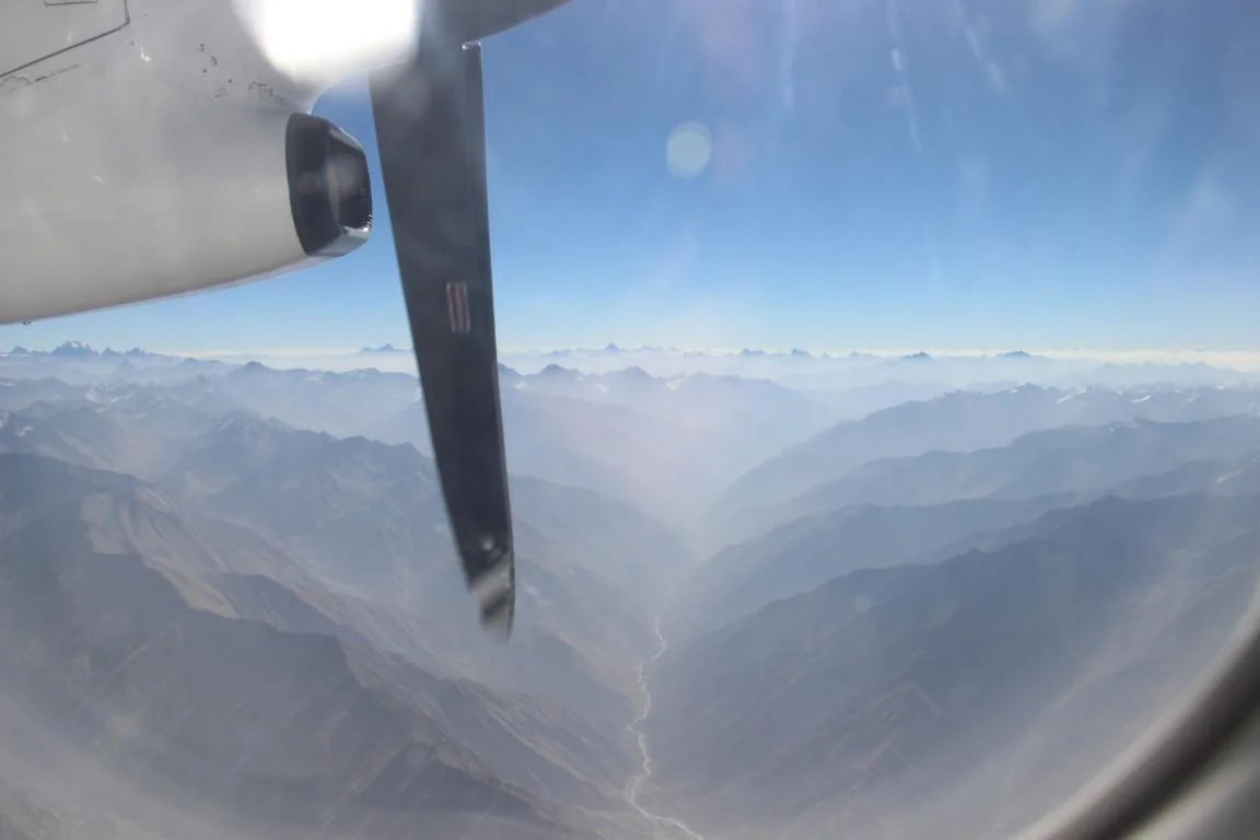
Salang pass (3,400 m high) and Salang tunnel (2,6 km long), the only north-south route through the Hindu Kush
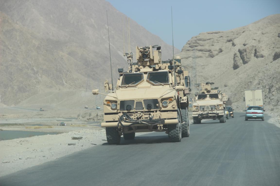
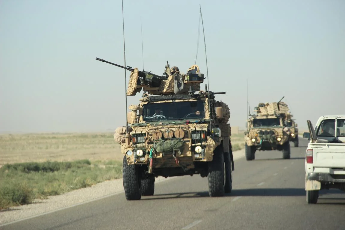
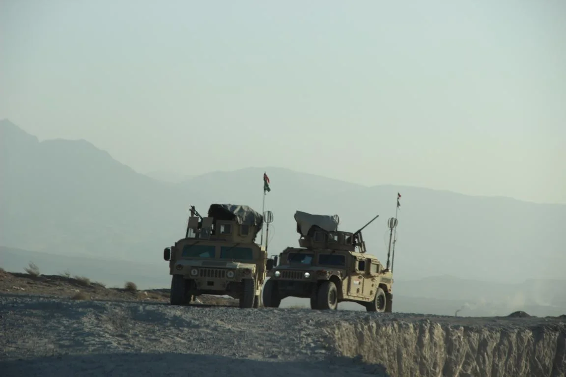
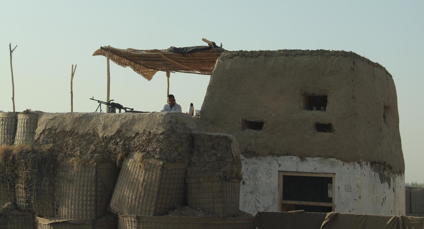
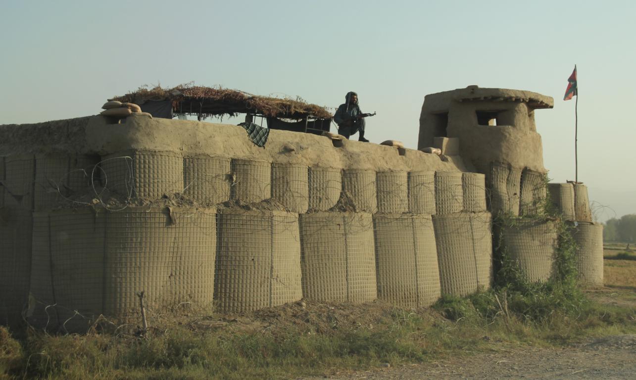
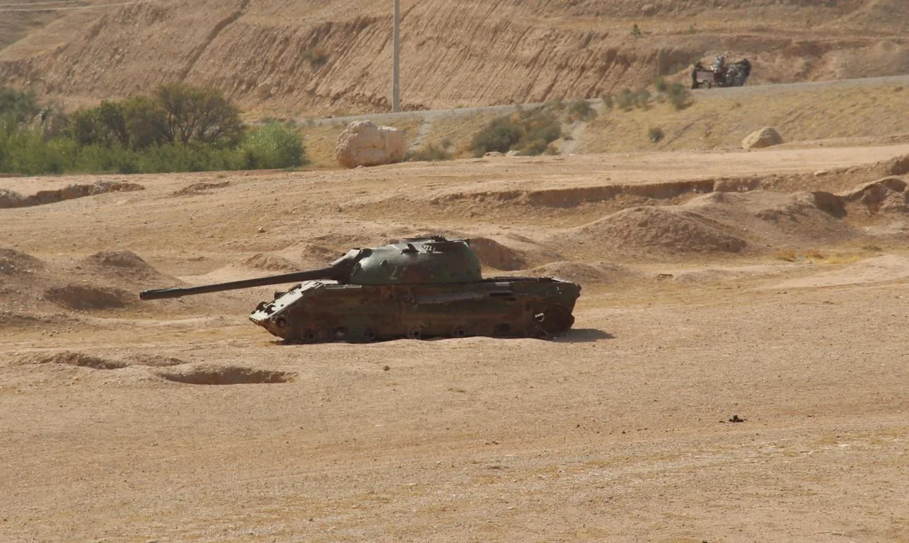
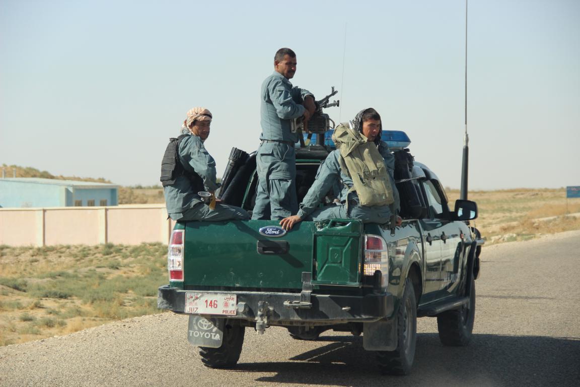
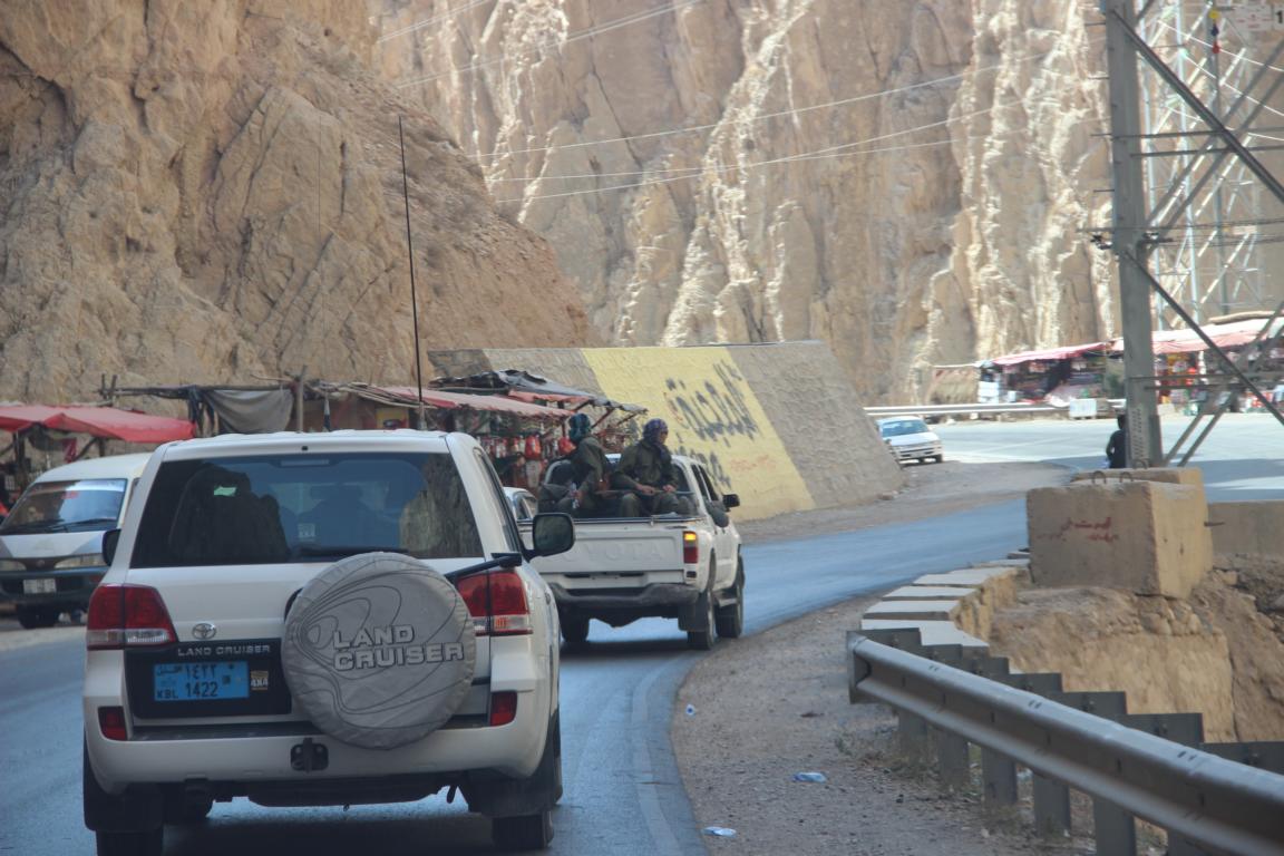
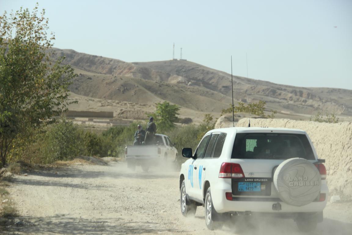
ISAF (NATO) troops and ANSF (Afghan National Security Forces)
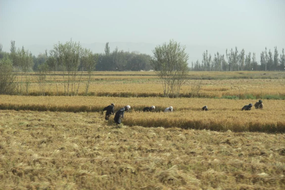
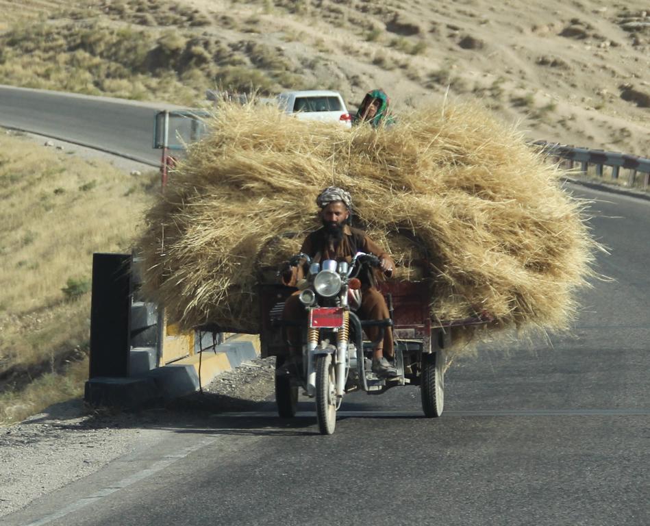
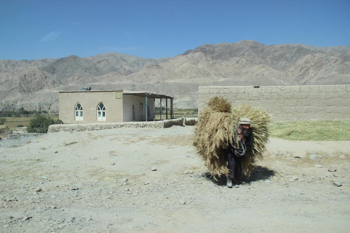
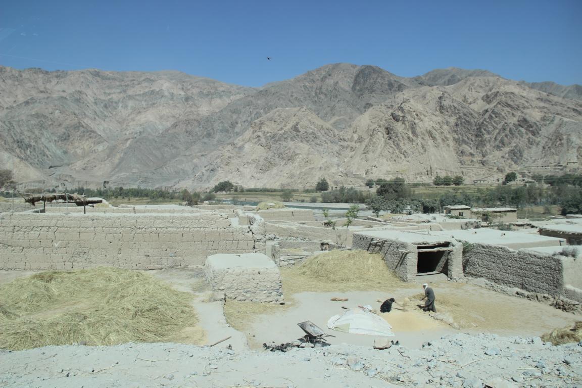
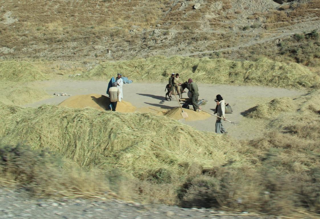
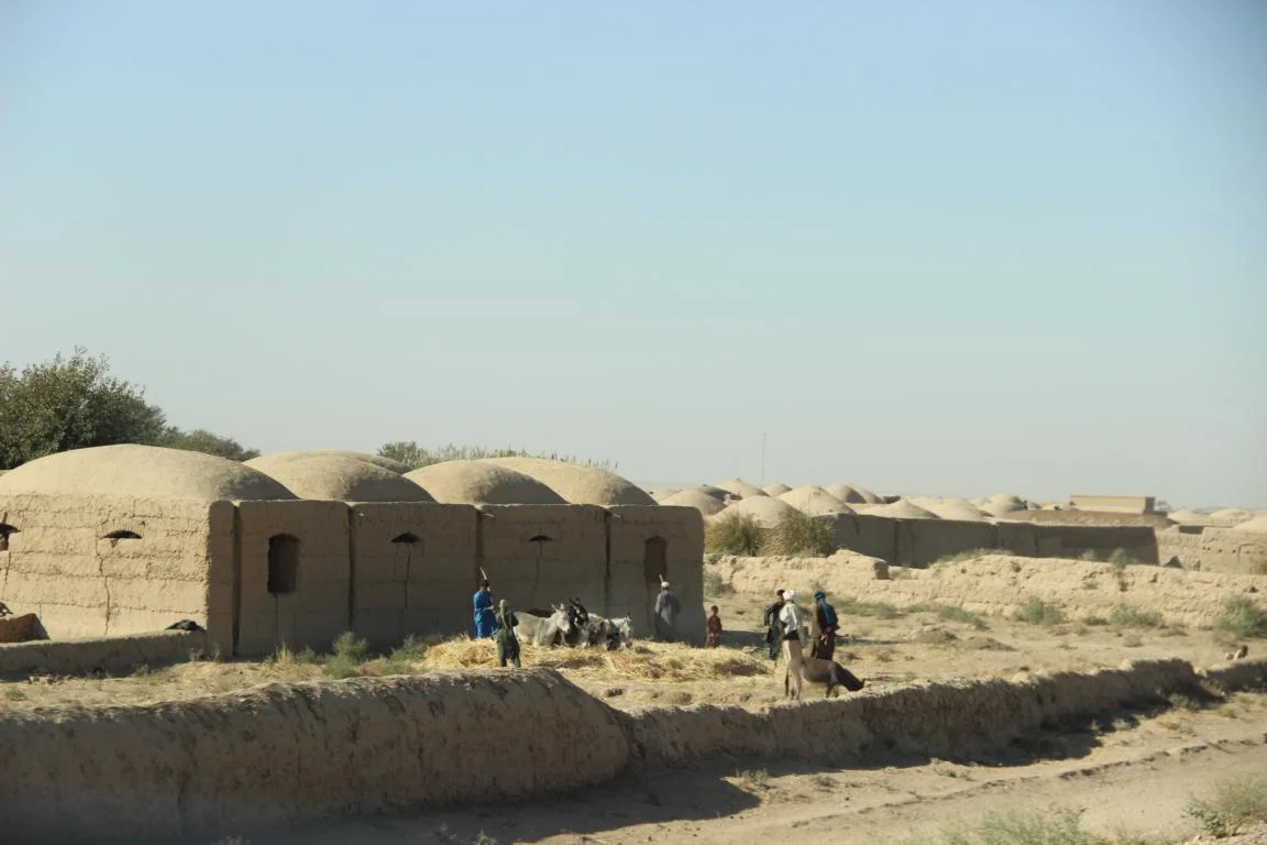
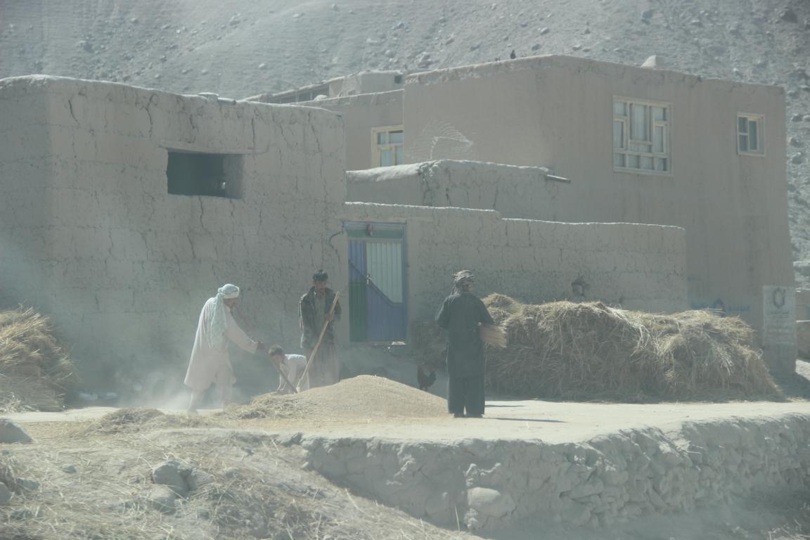
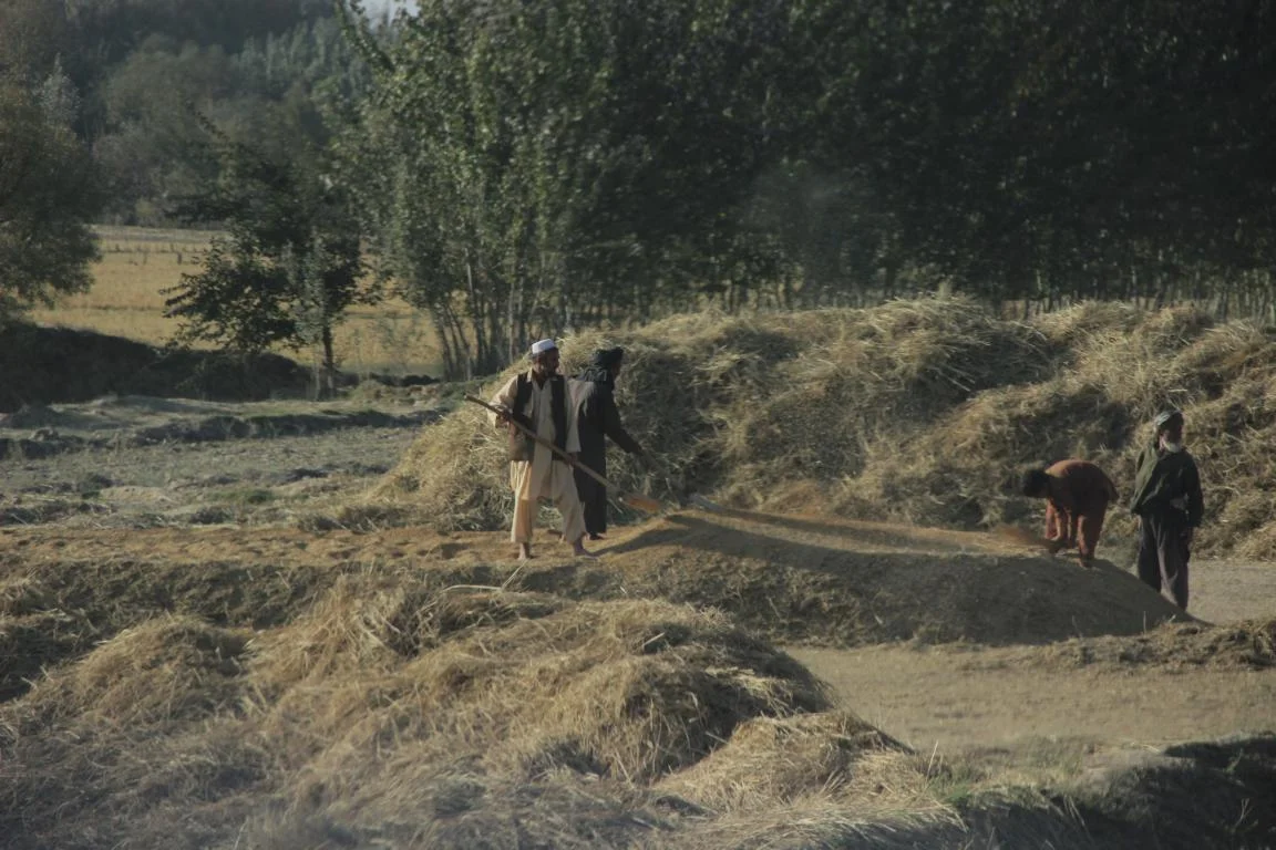
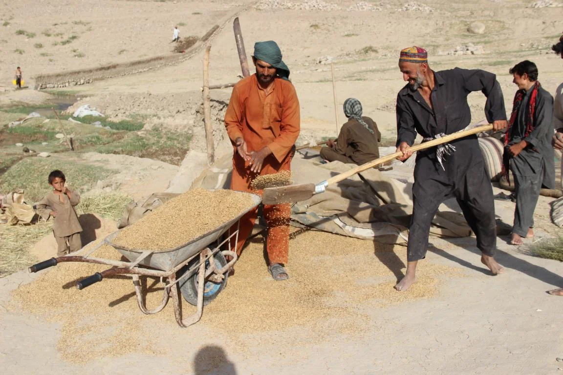
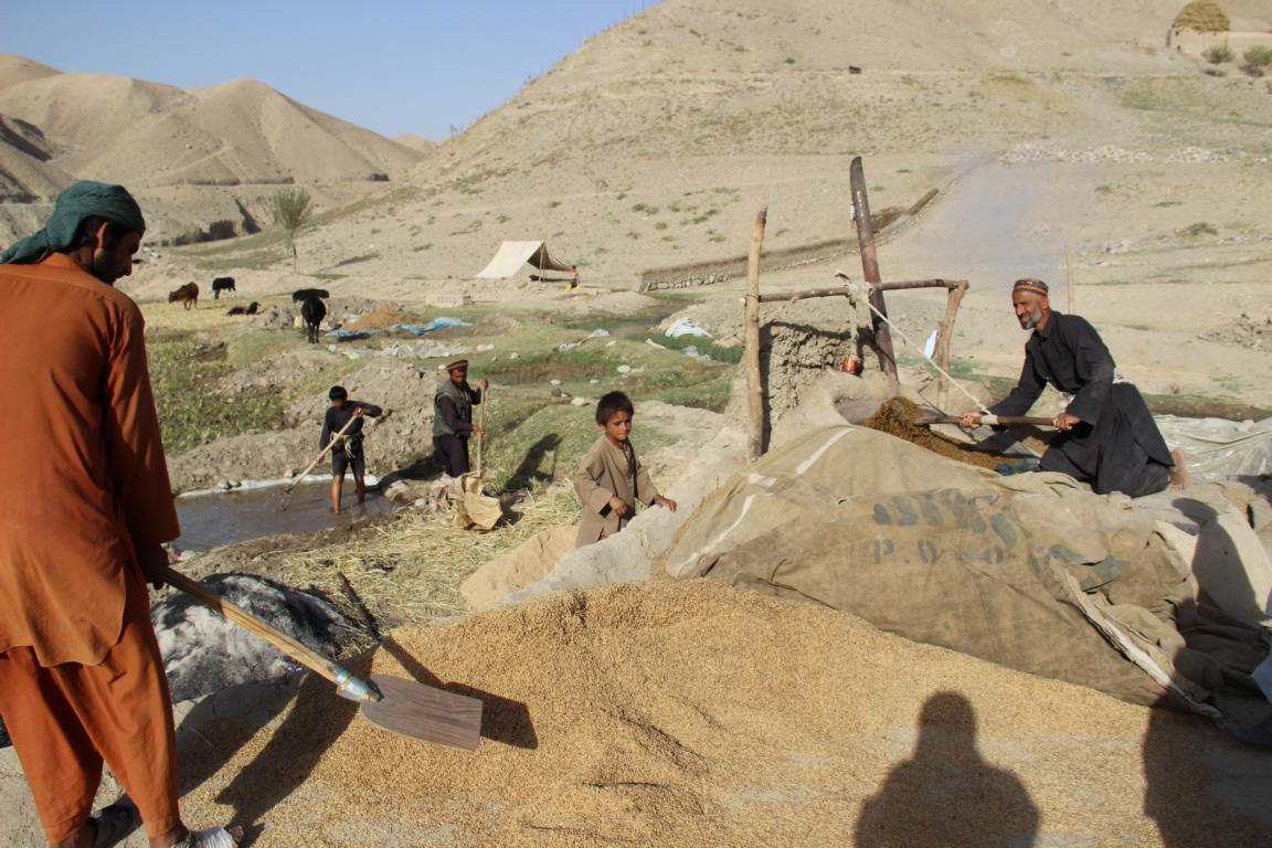
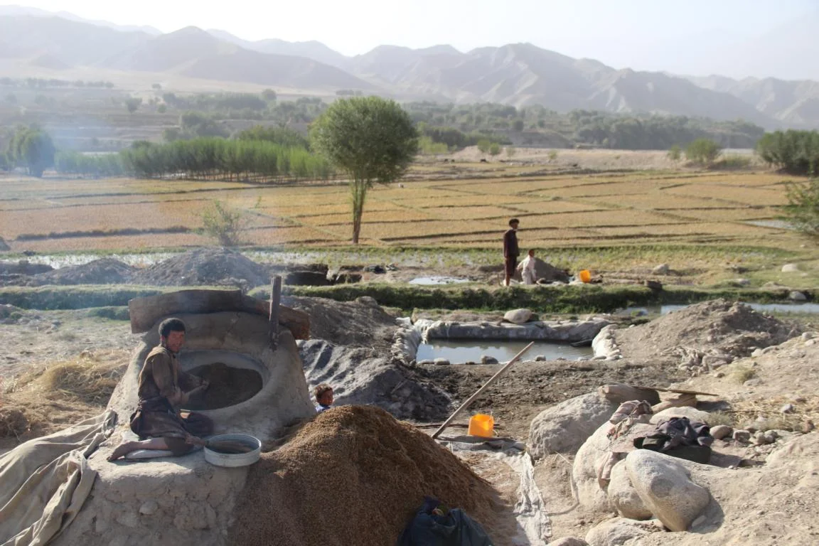
Agricultural work, harvesting, threshing the corn, rice cooking
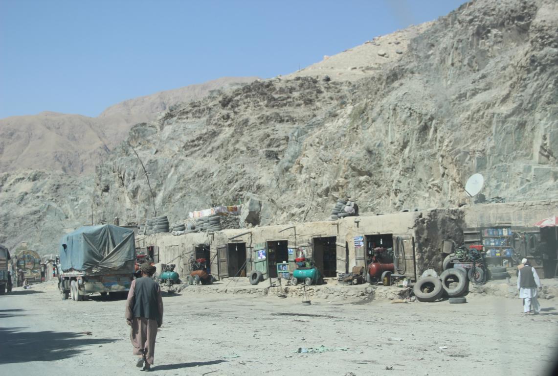
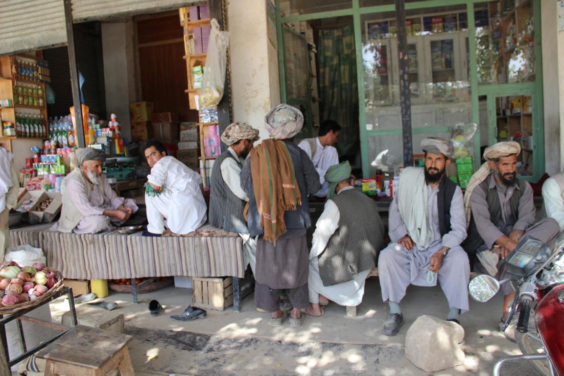
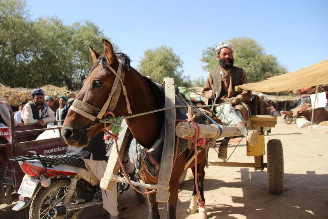
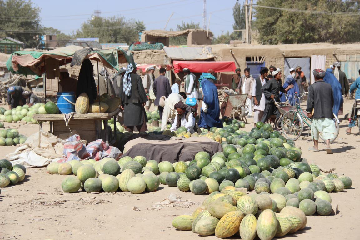
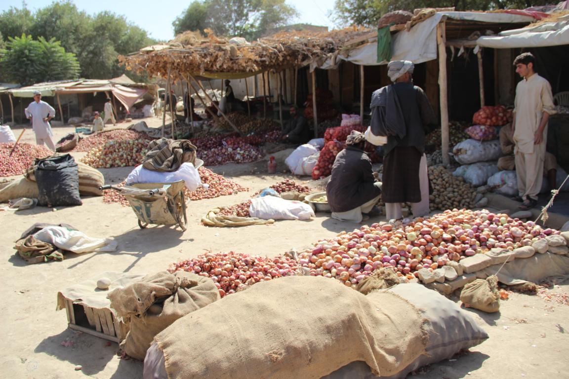
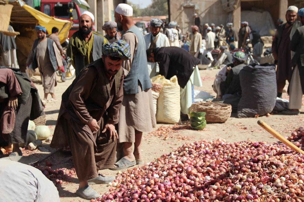
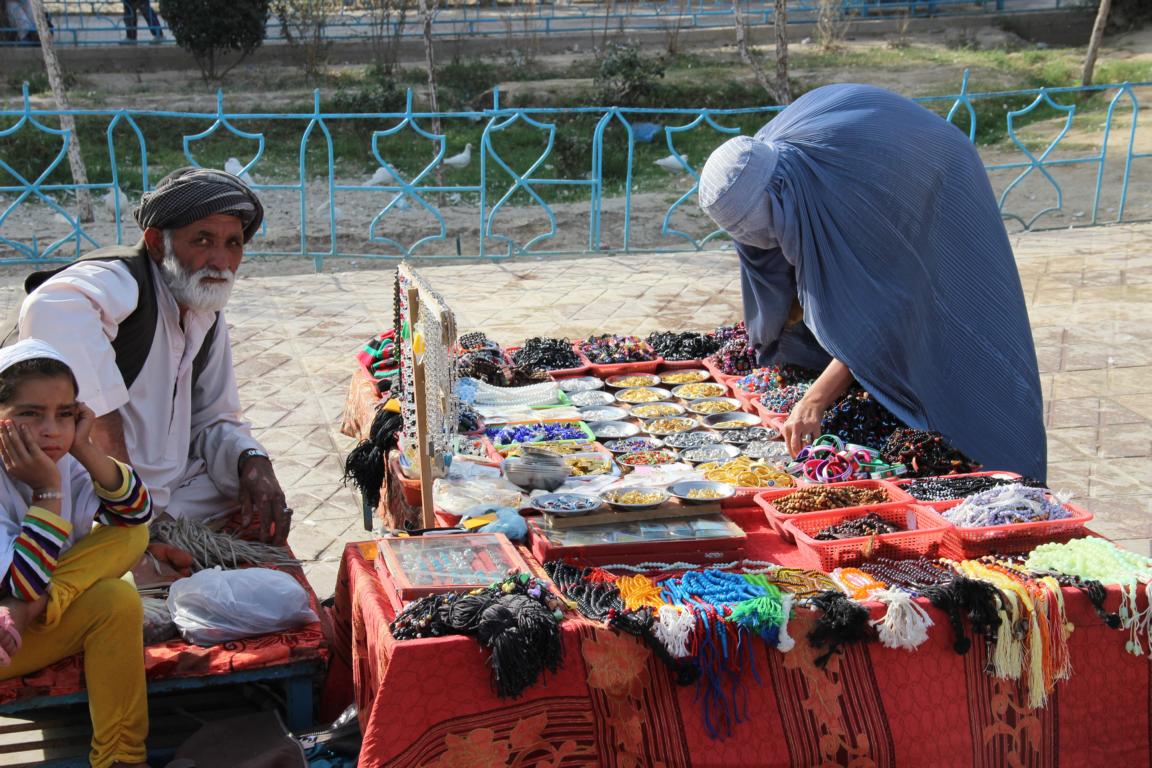
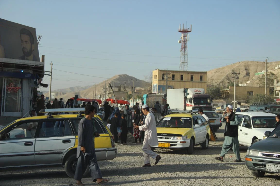
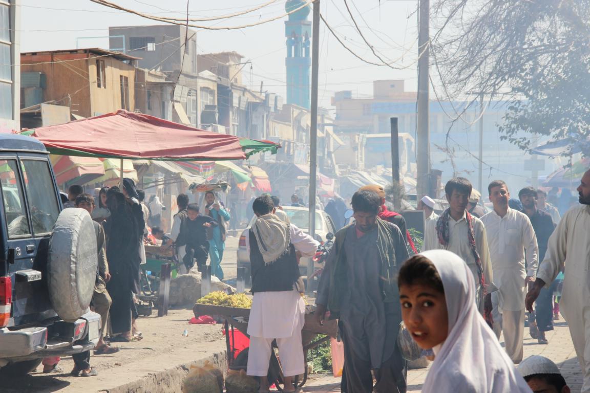
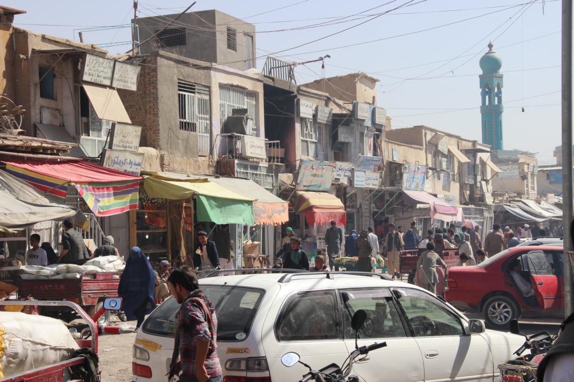
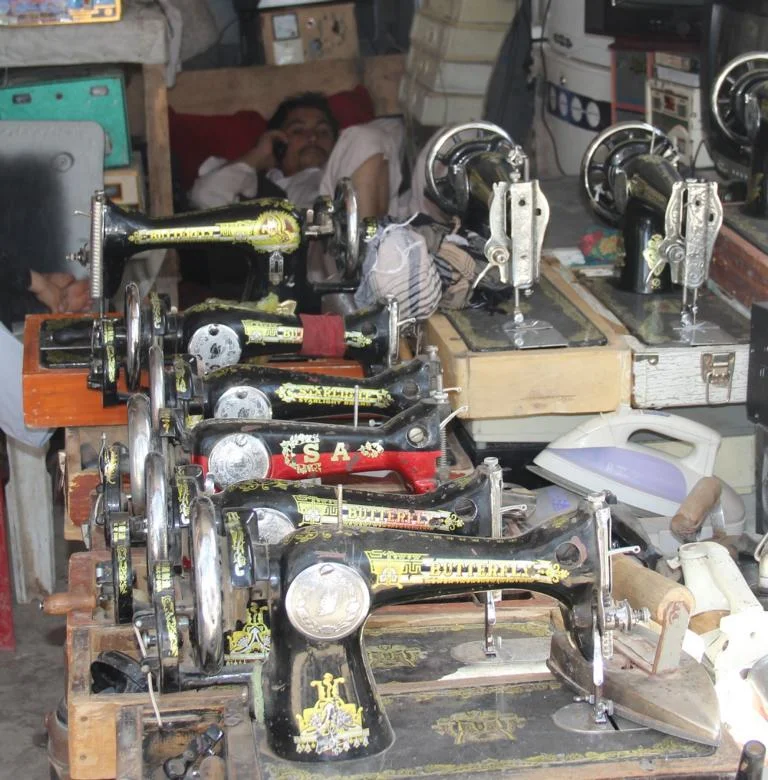
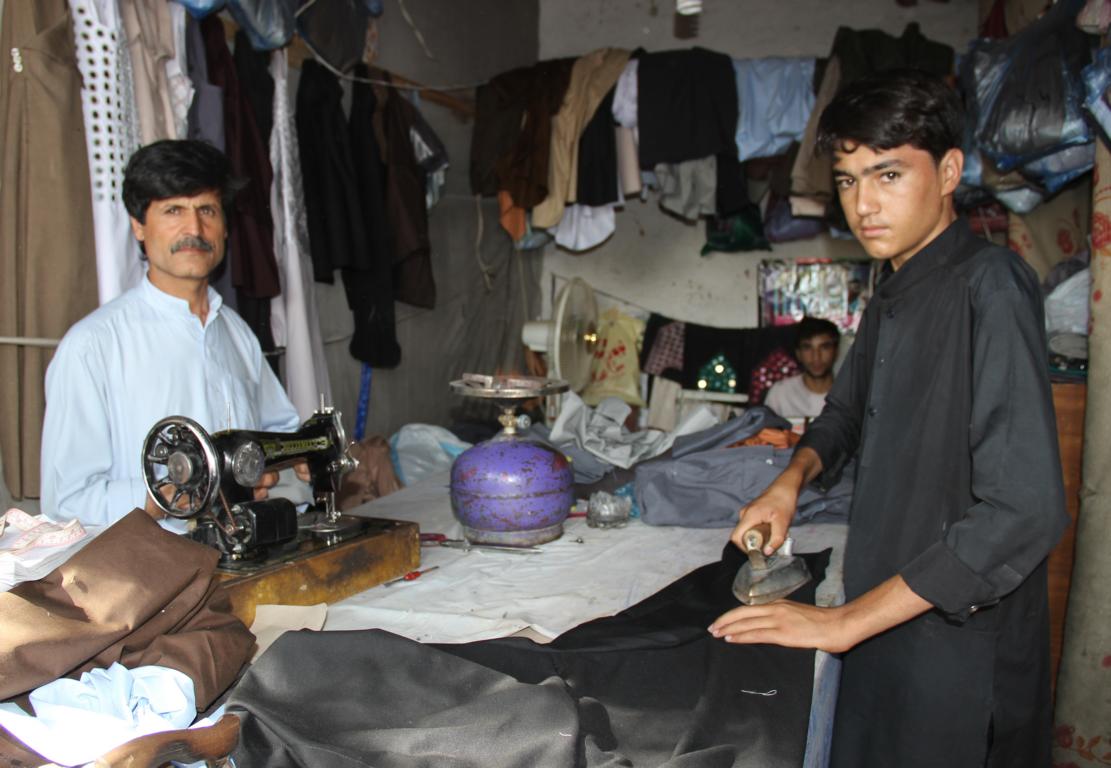
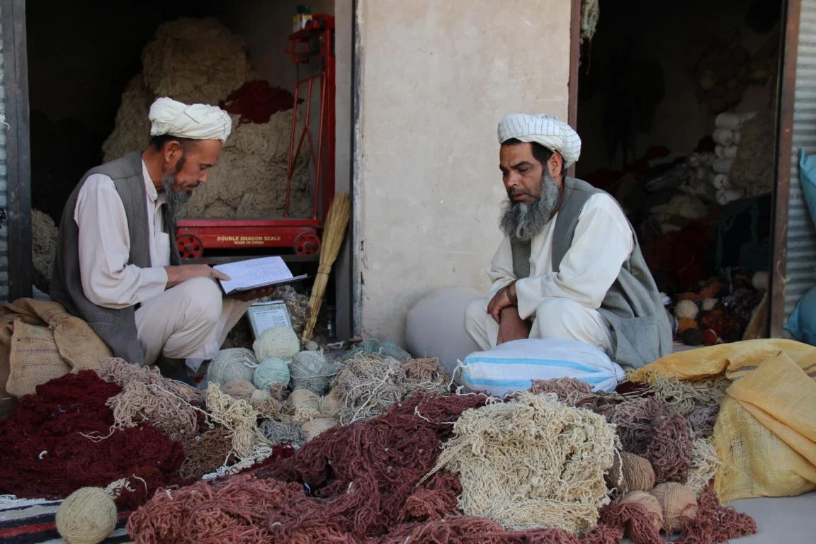
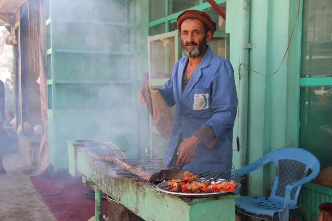
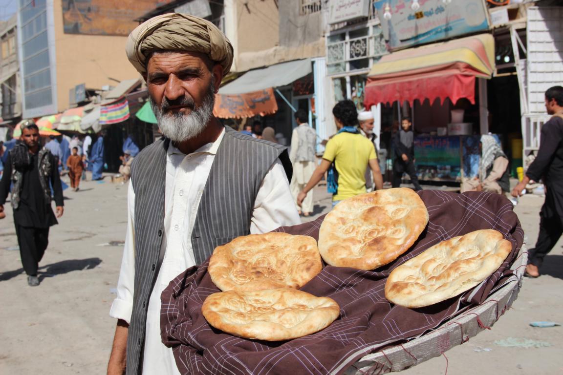
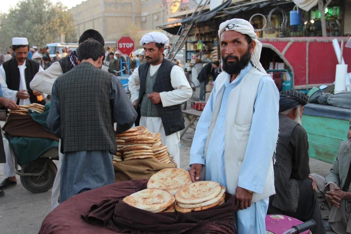
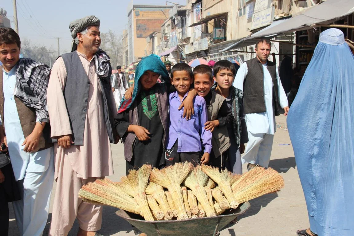
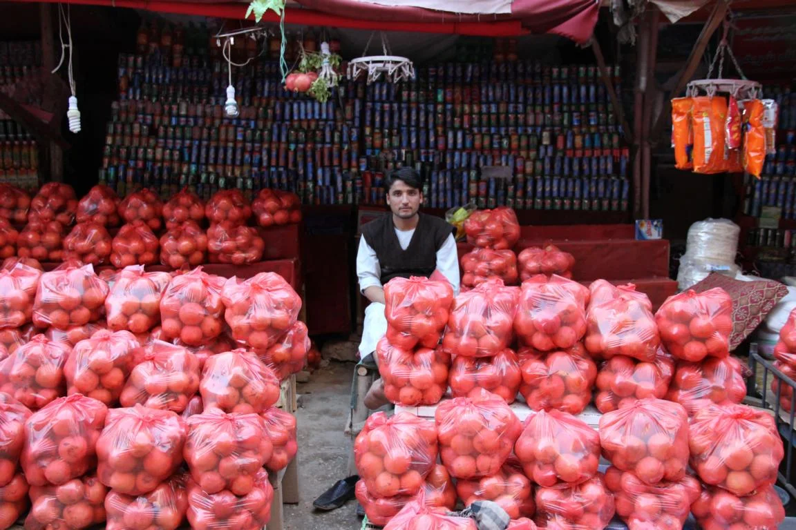
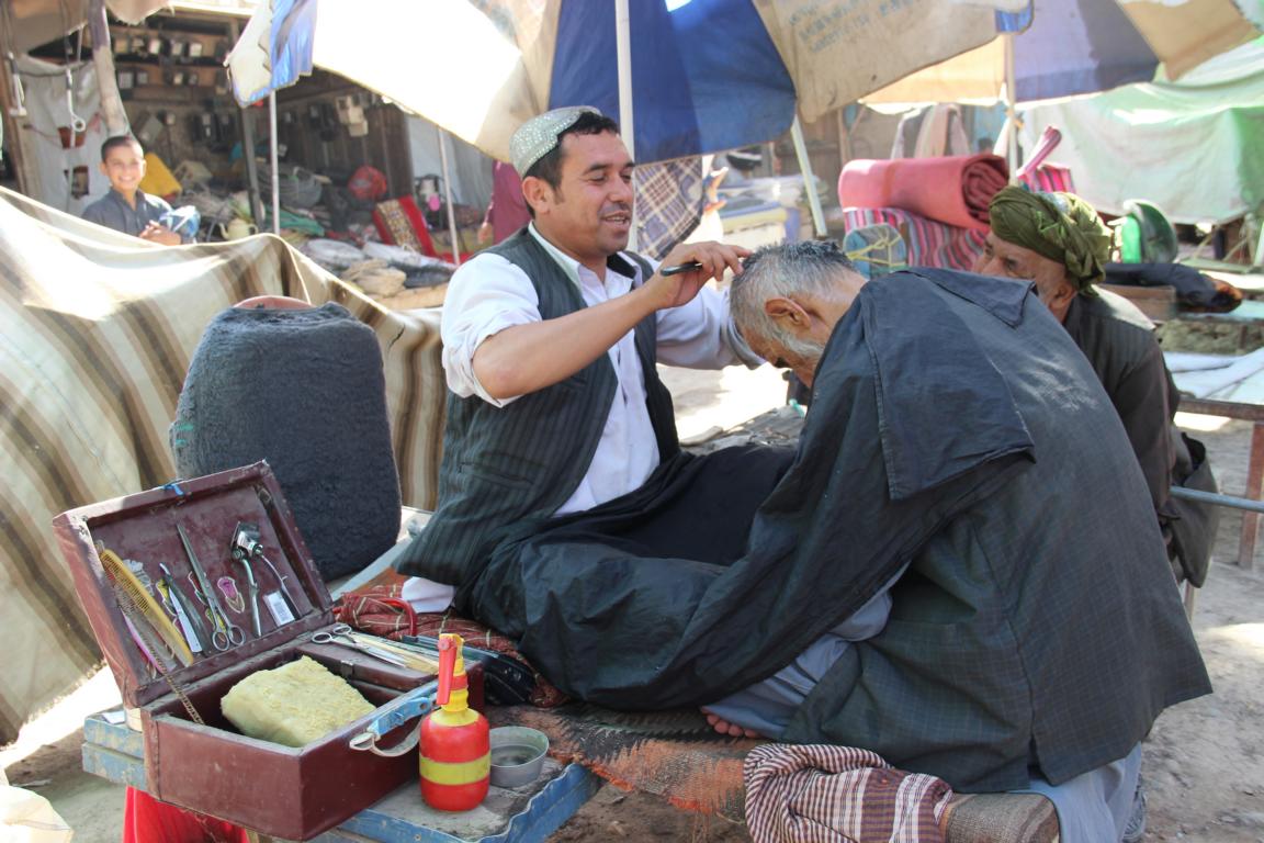
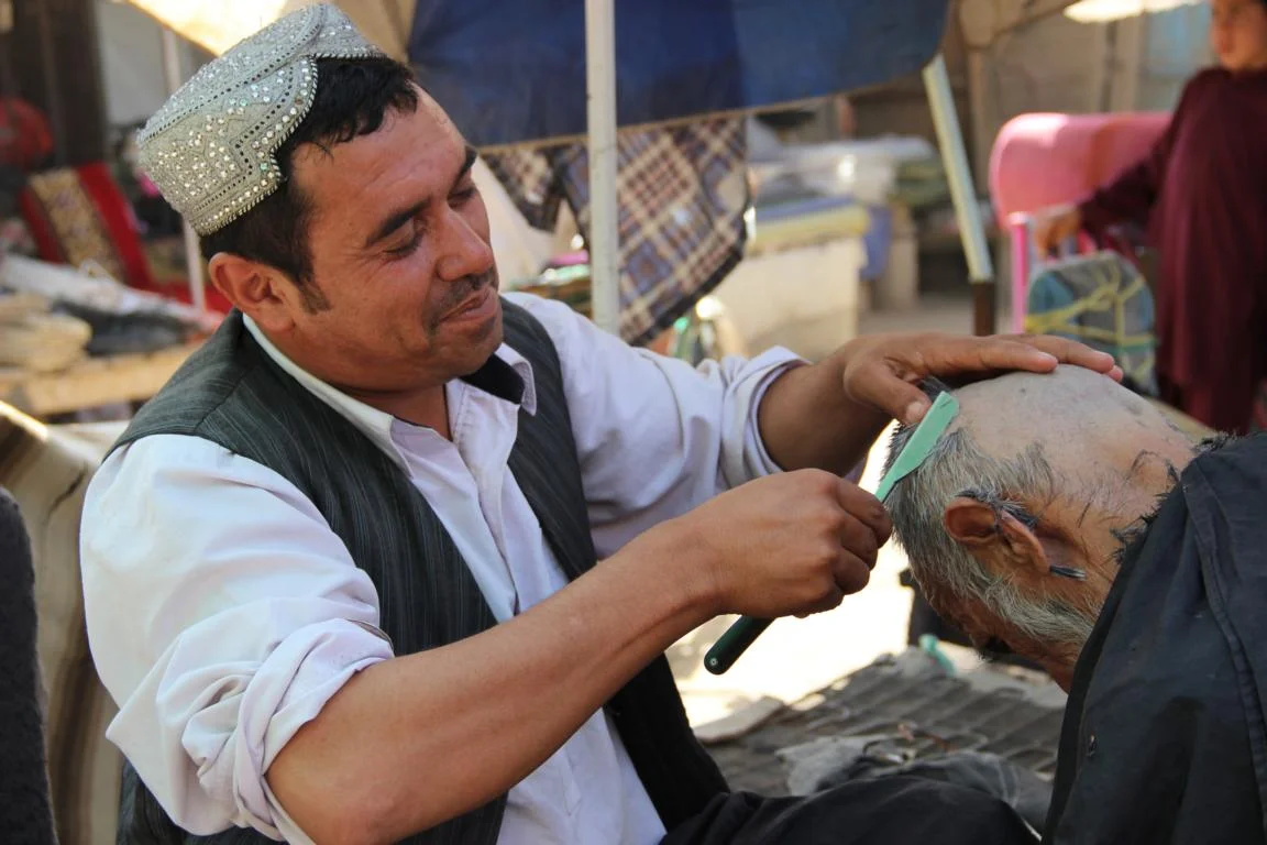
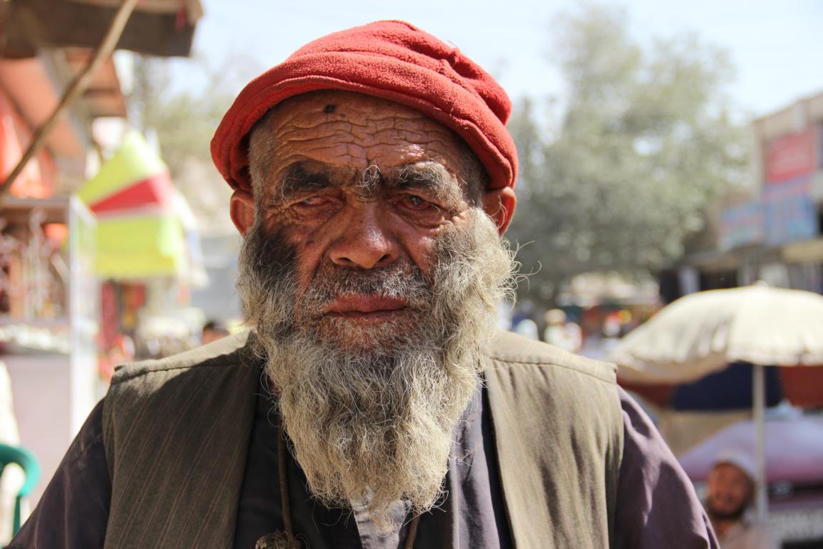
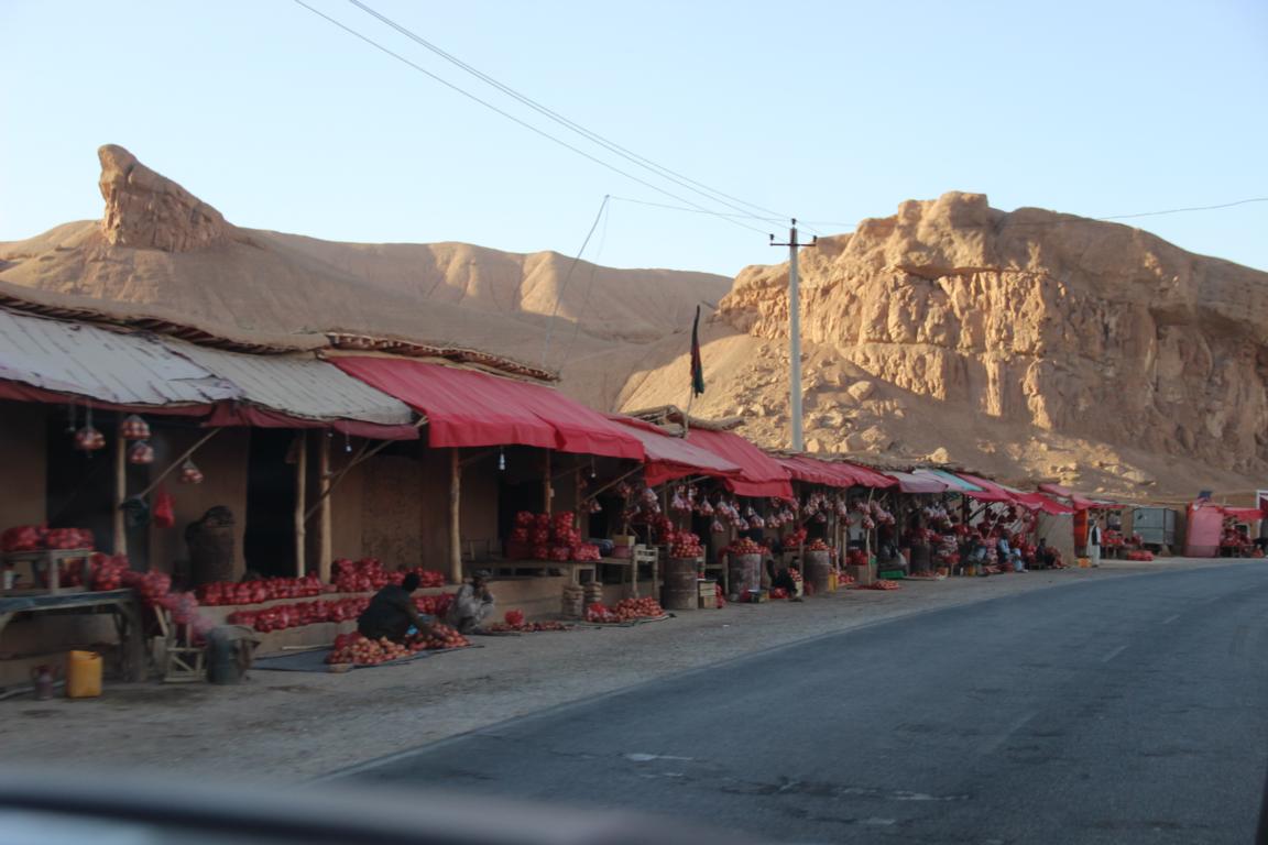
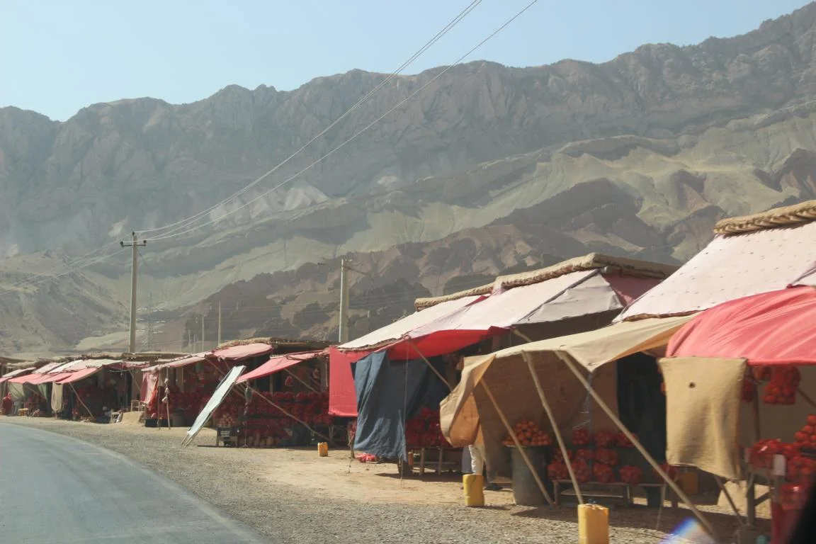
Bazar in the town Sar-e Pol
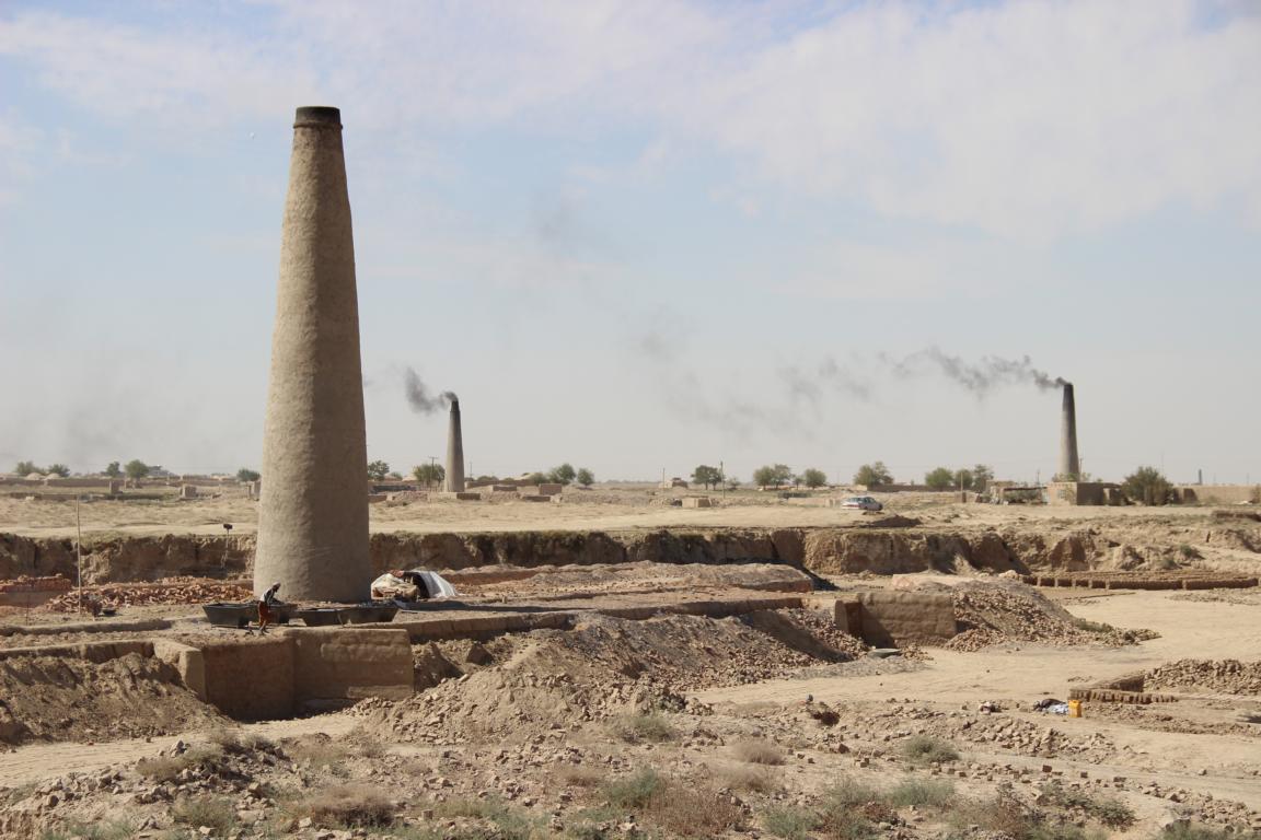
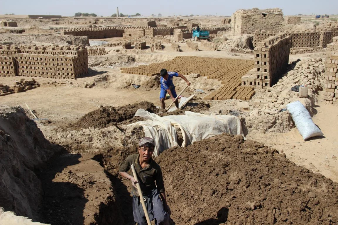
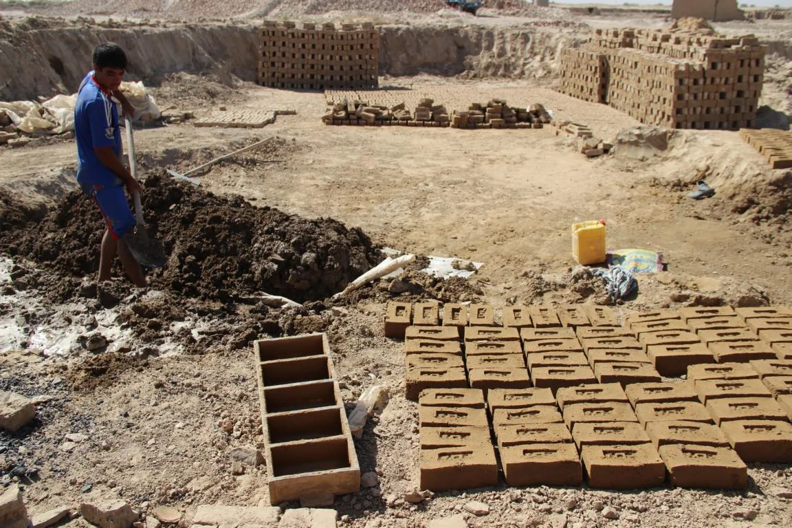
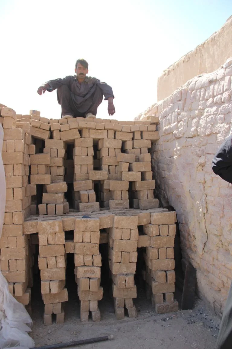
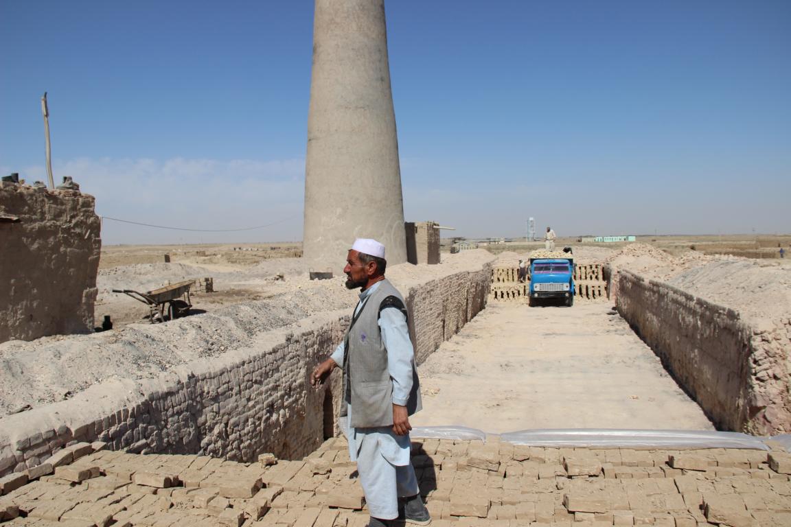
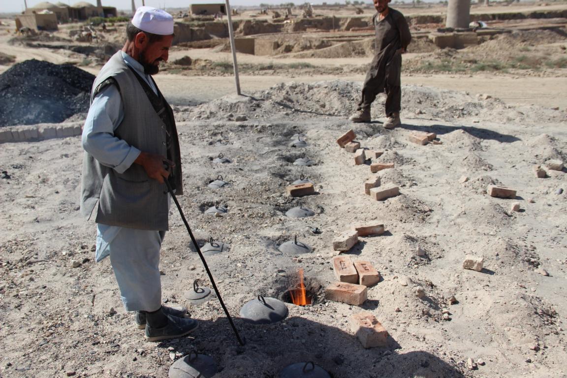
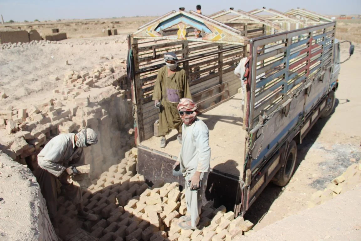
Traditional brick factory
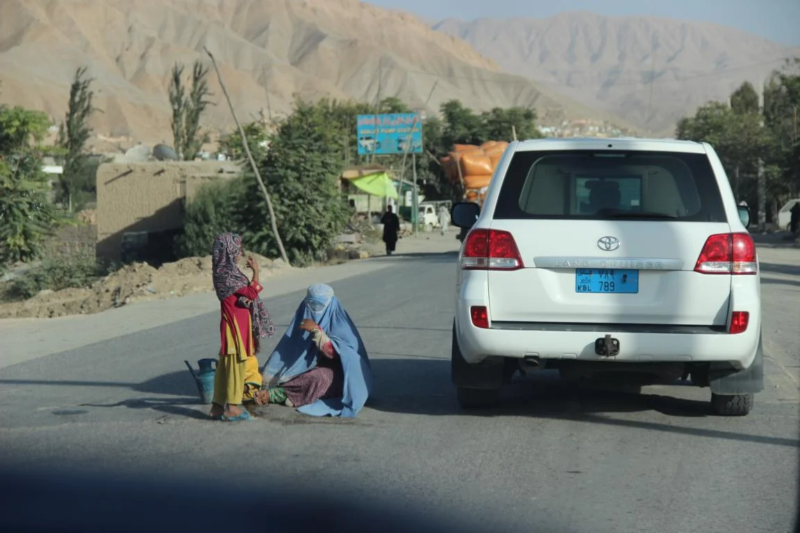
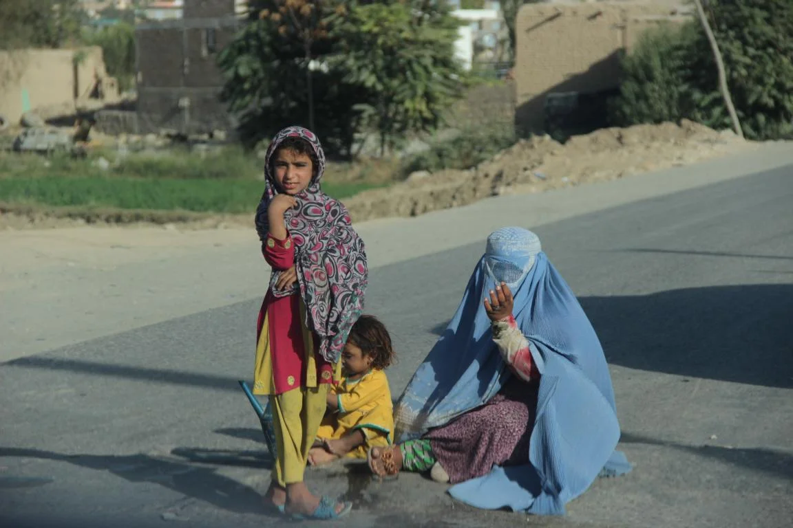
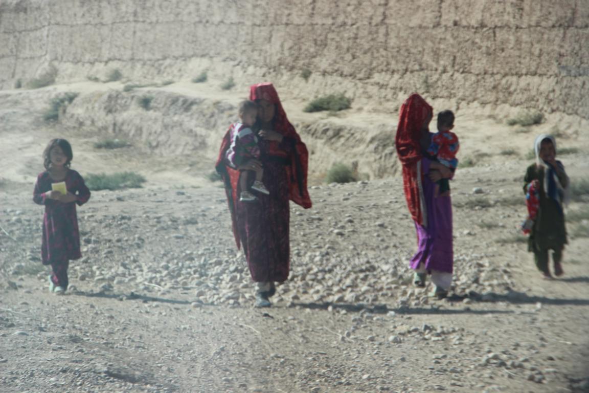
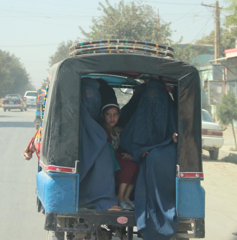
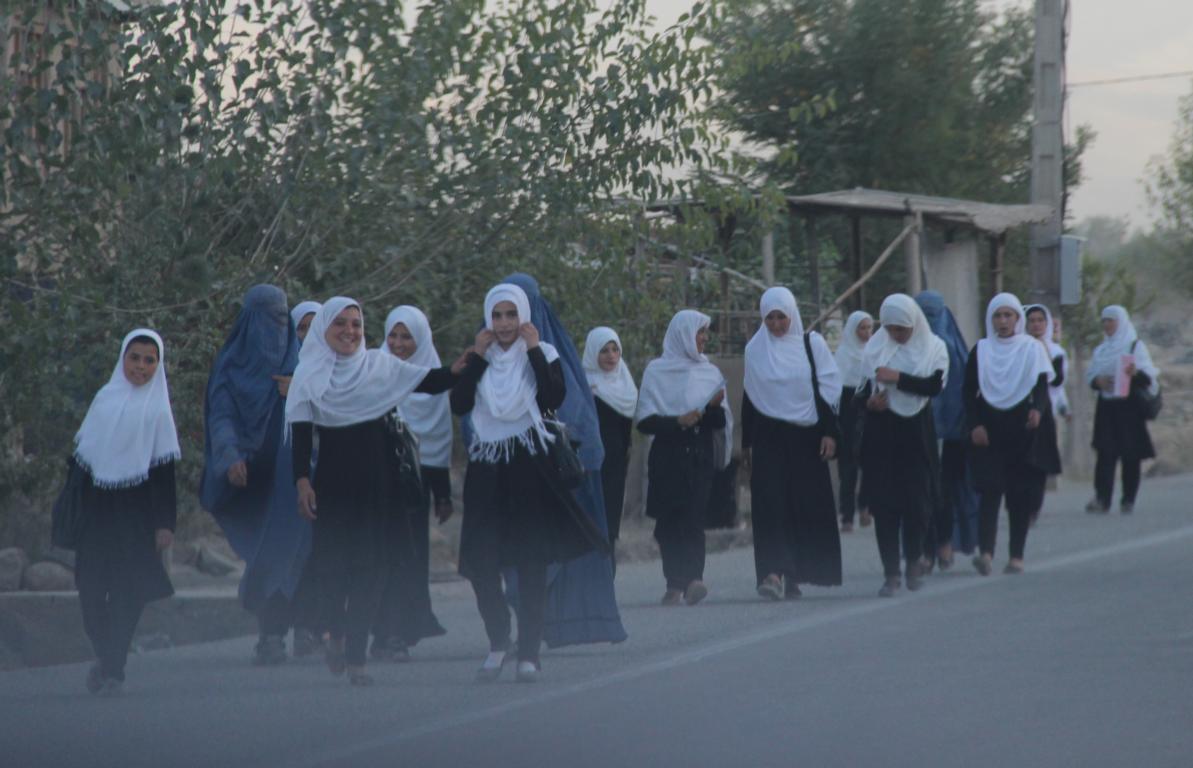
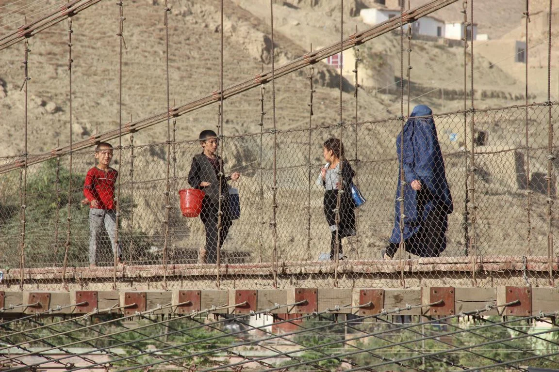
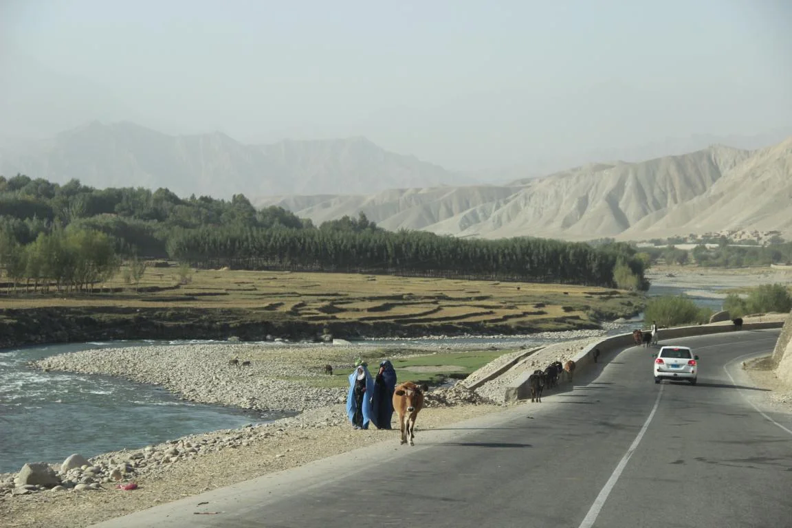
Afghan women (most of them still wearing the burqa)
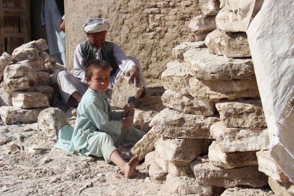
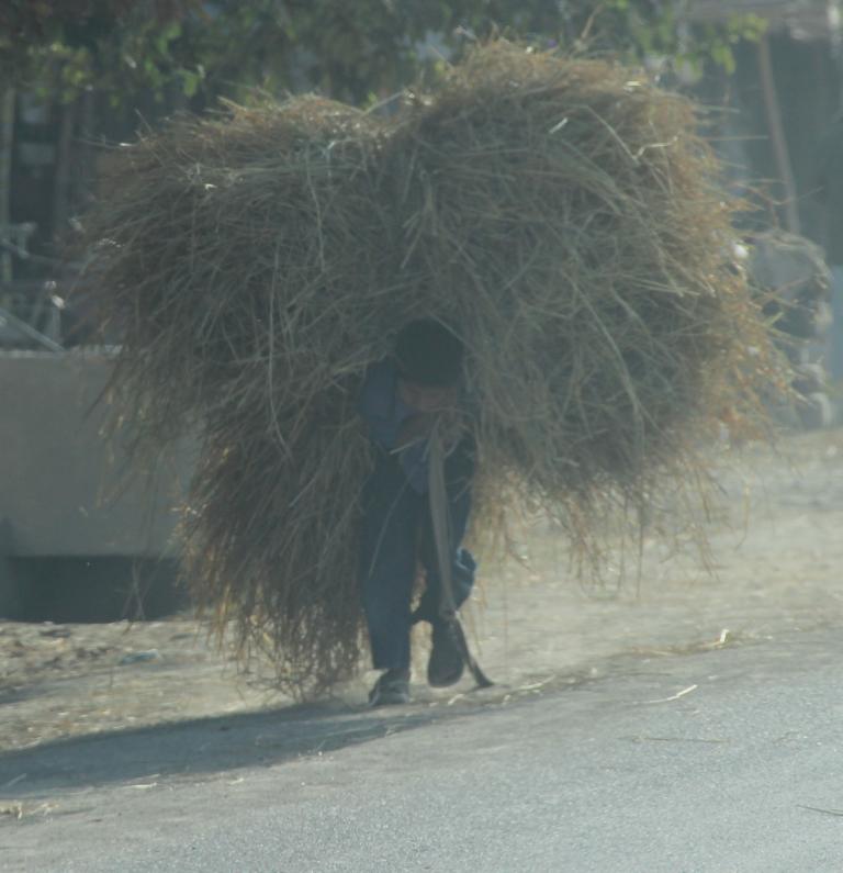
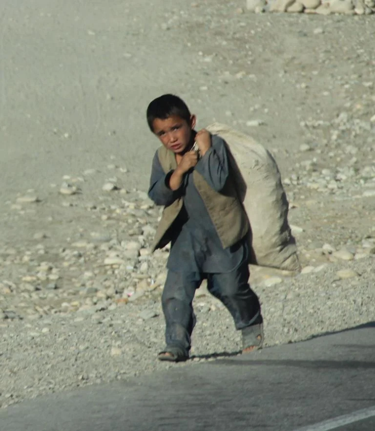
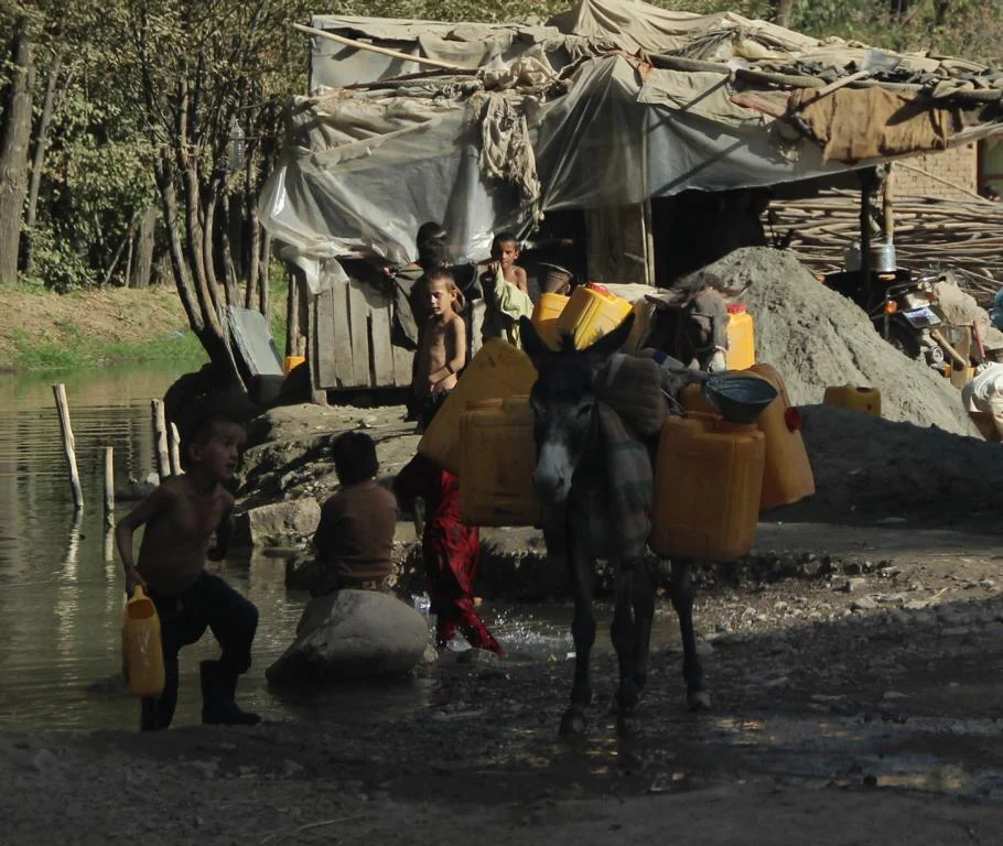
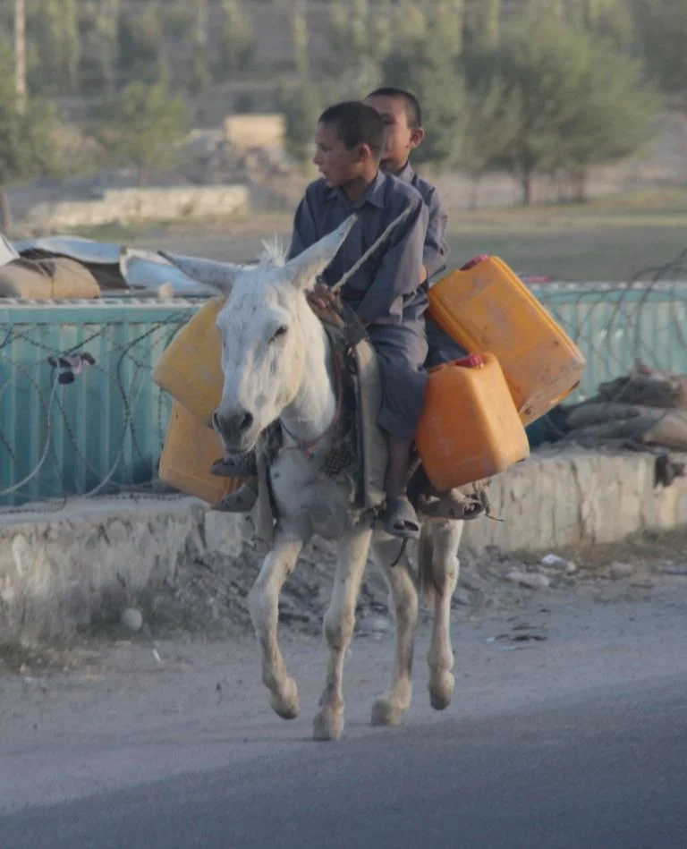
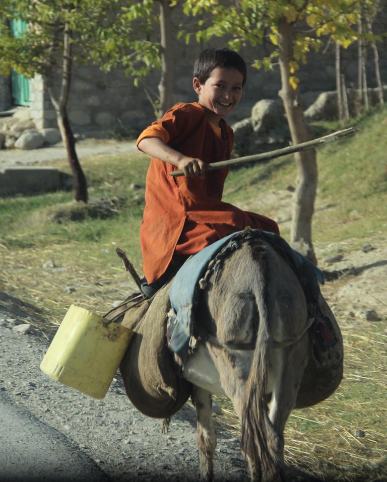
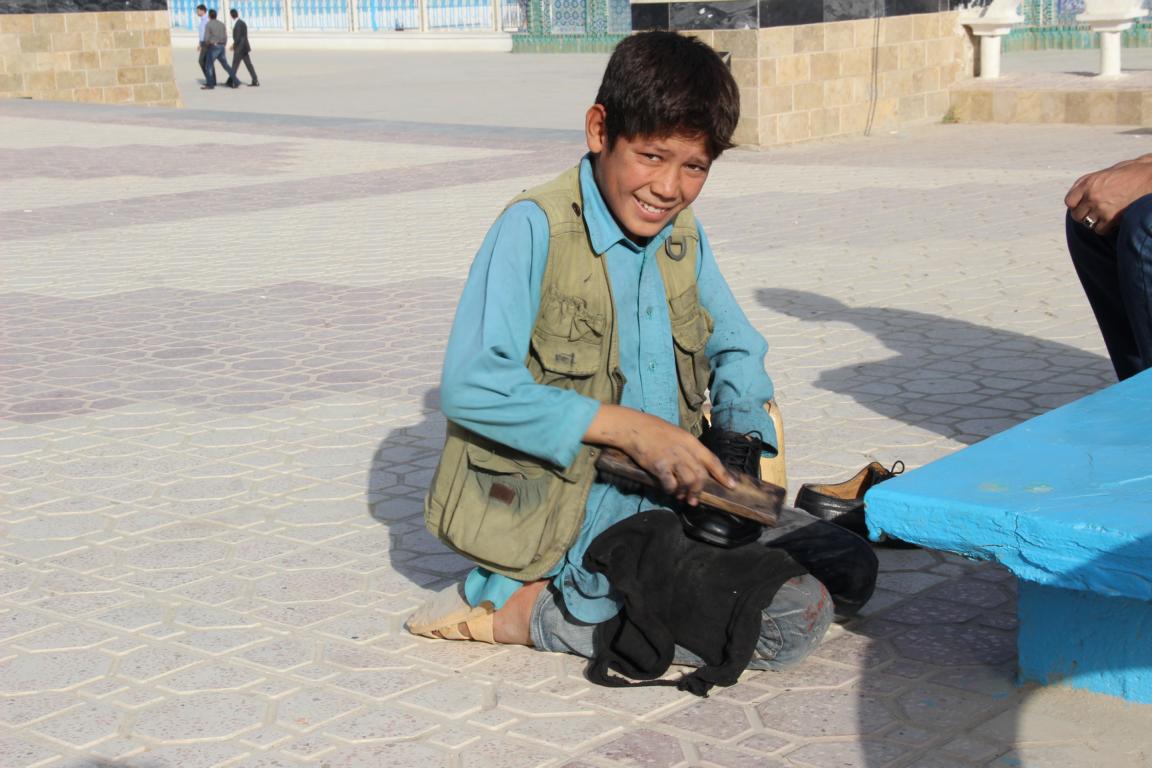
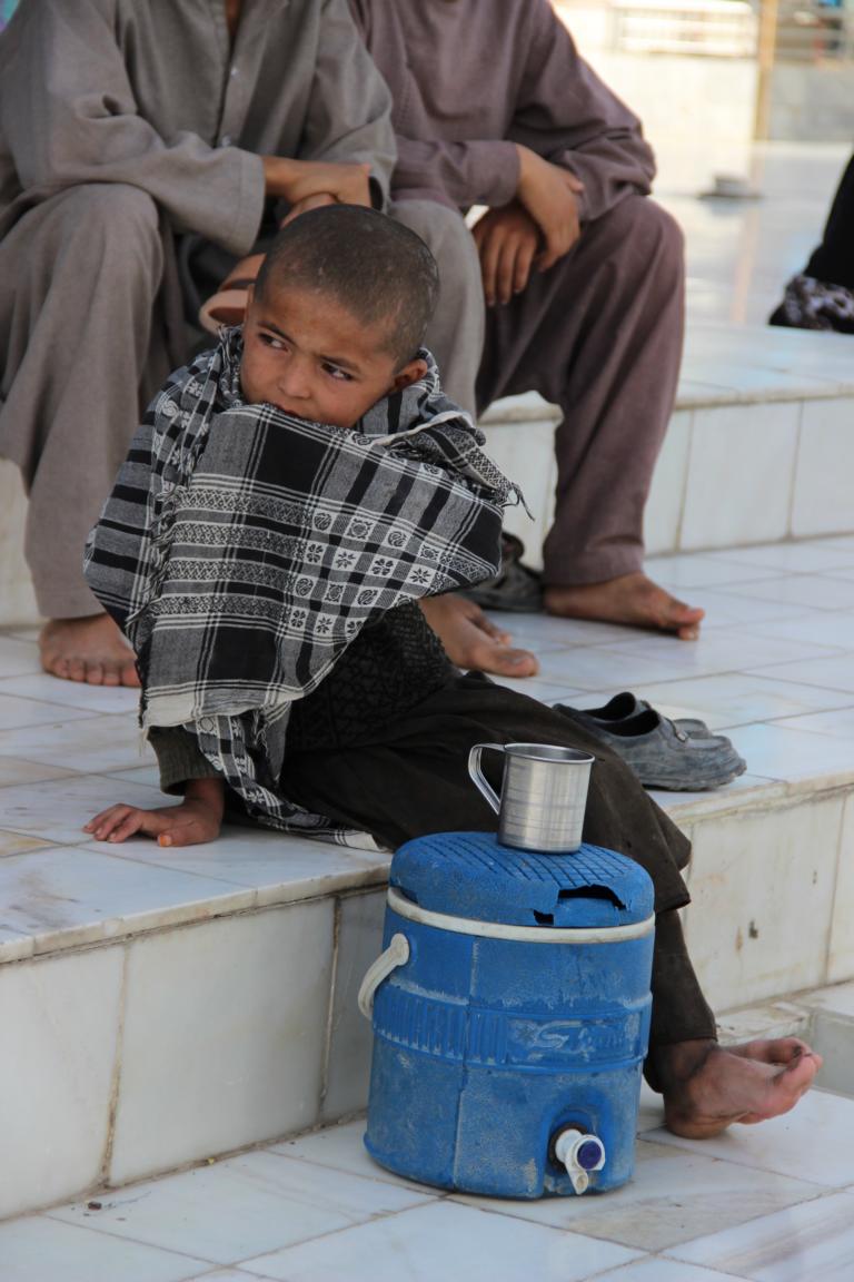
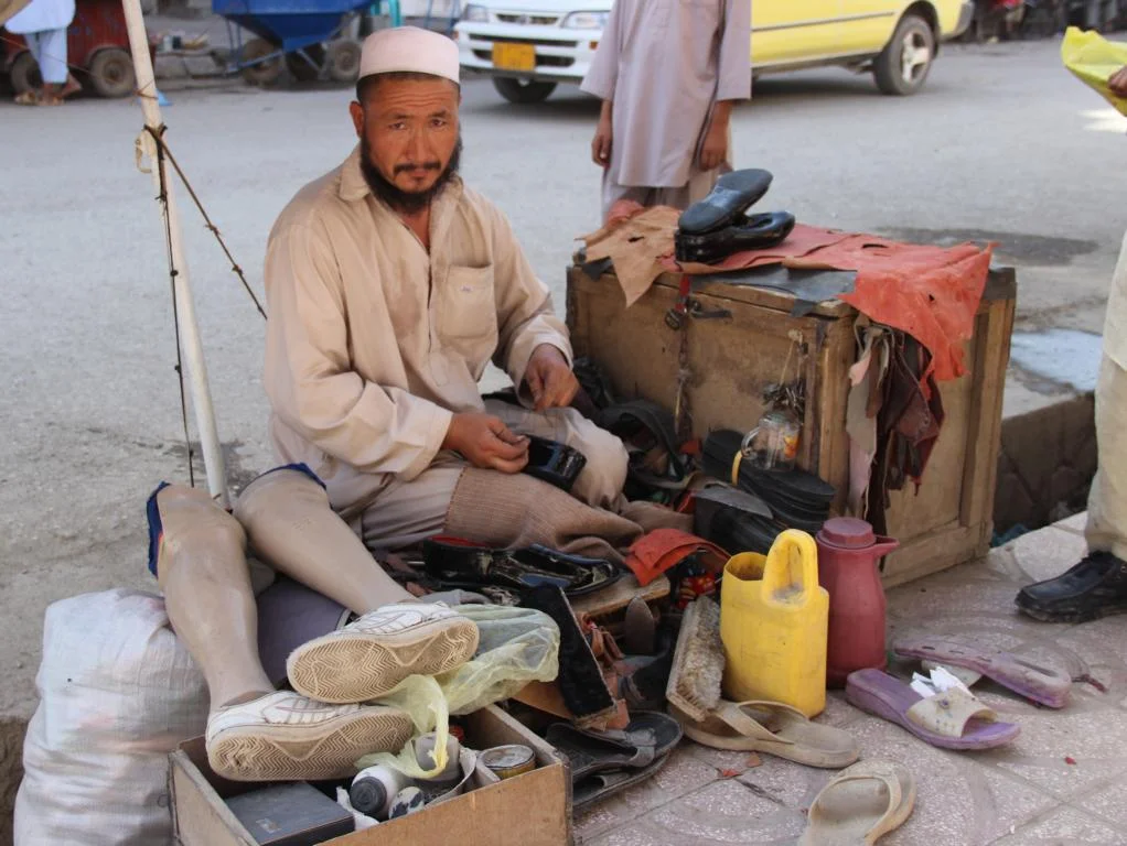
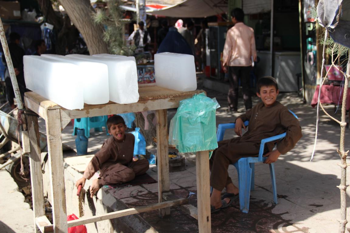
Child labor - common across the country
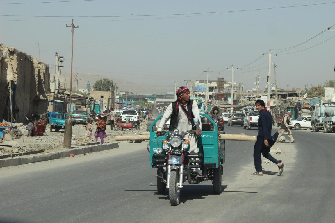
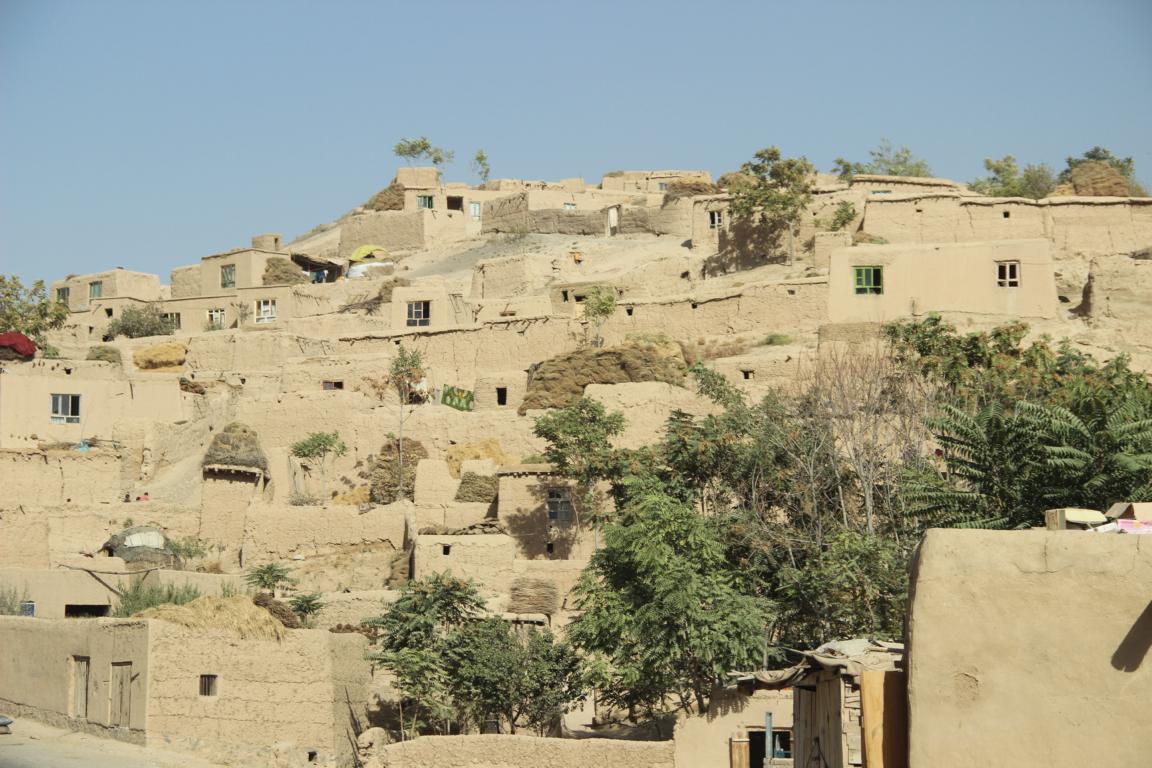
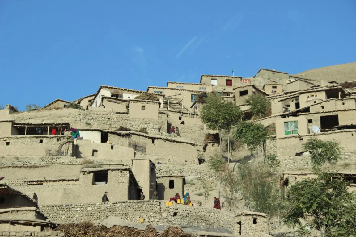
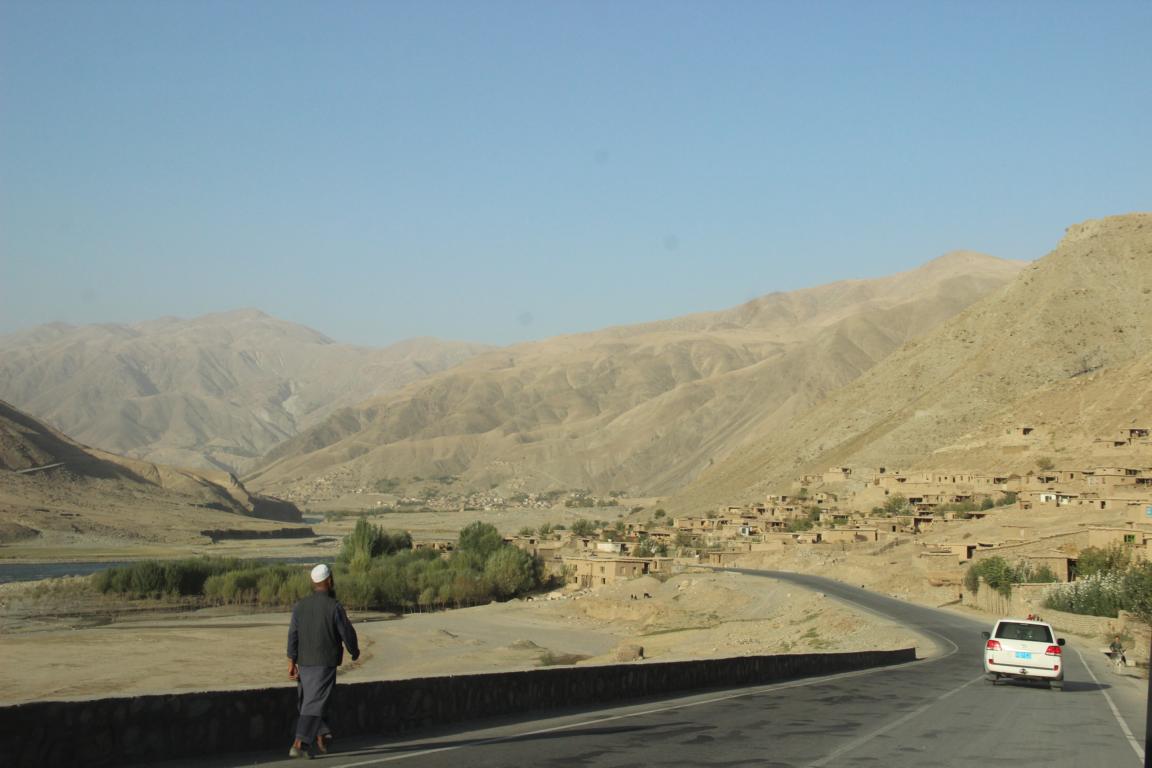
Street view in Pol-i Kumri, an average provincial town
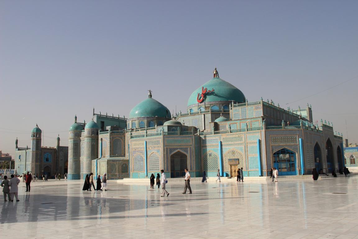
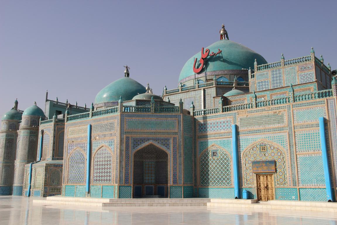
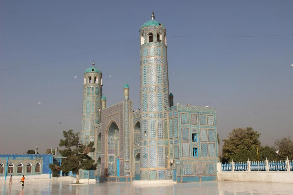
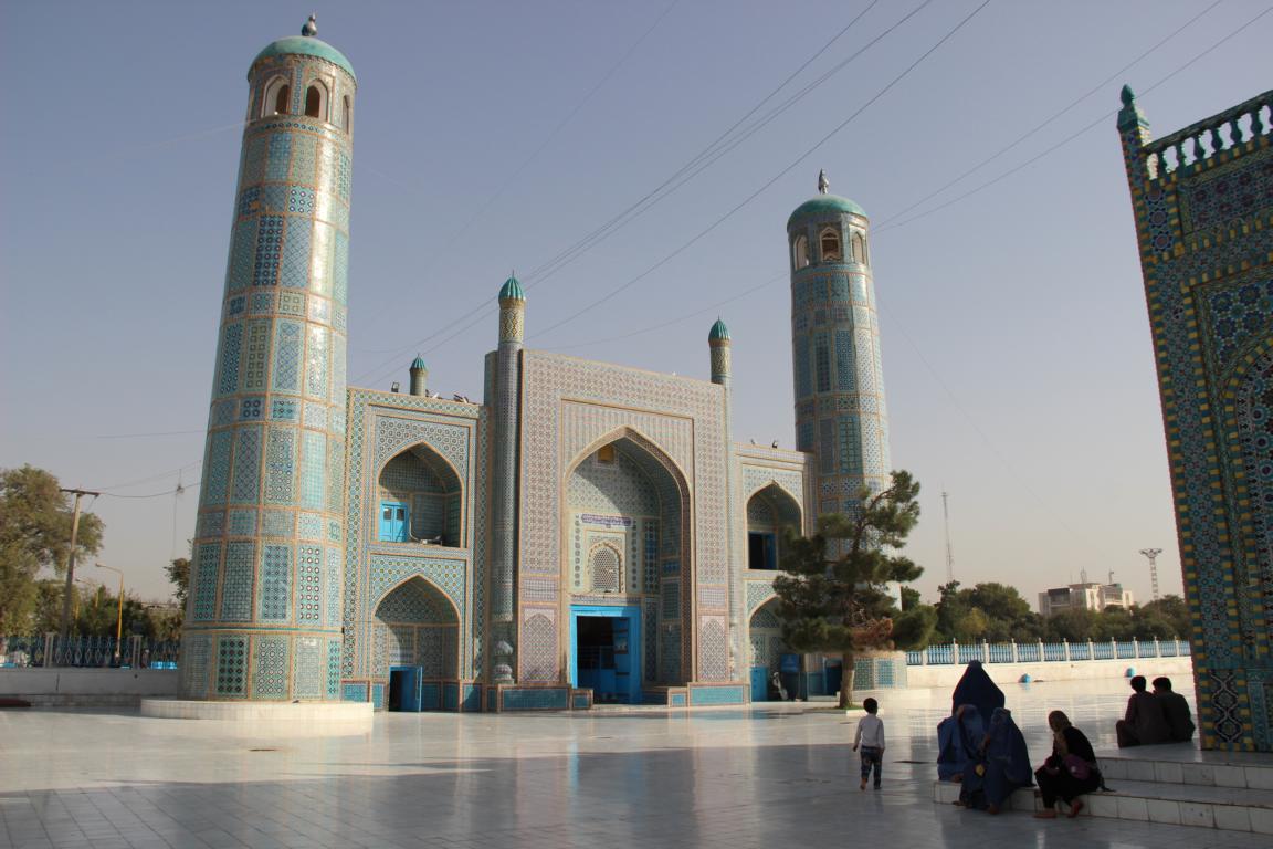
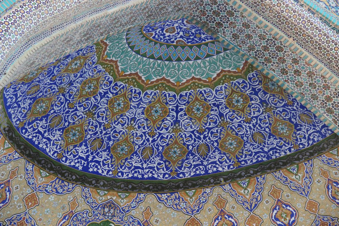
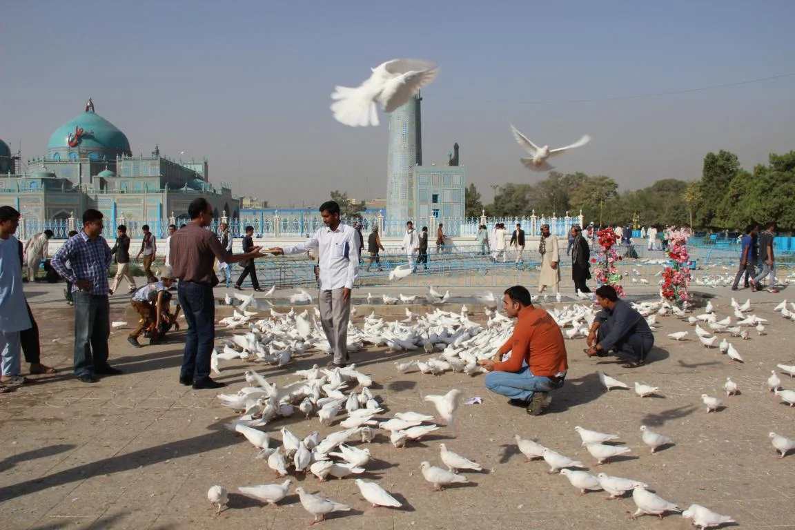
Blue Mosque in Mazar-e Sharif (16th century)
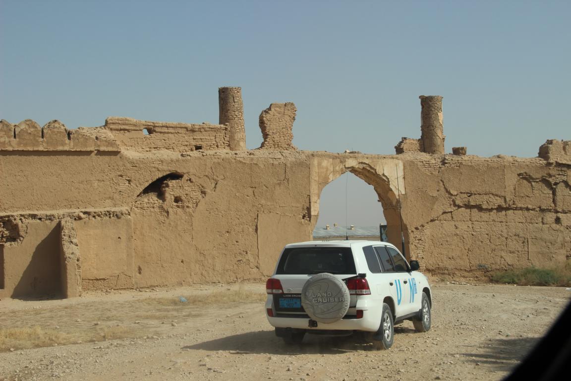
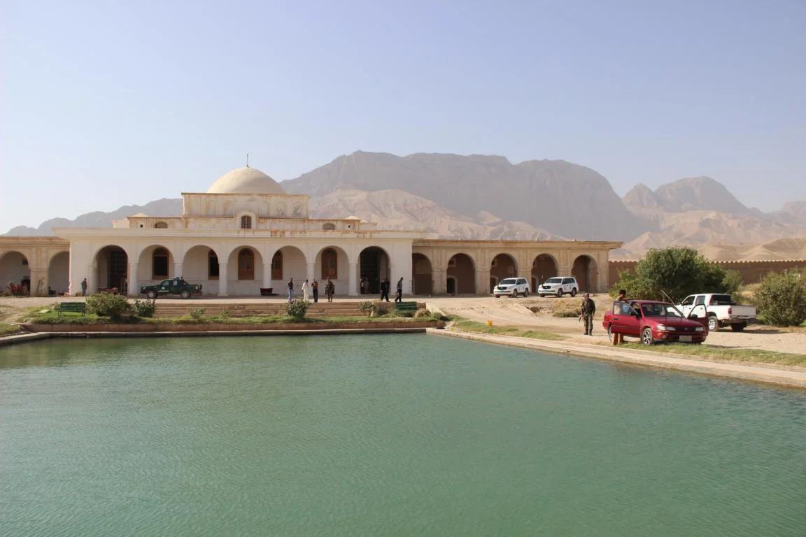
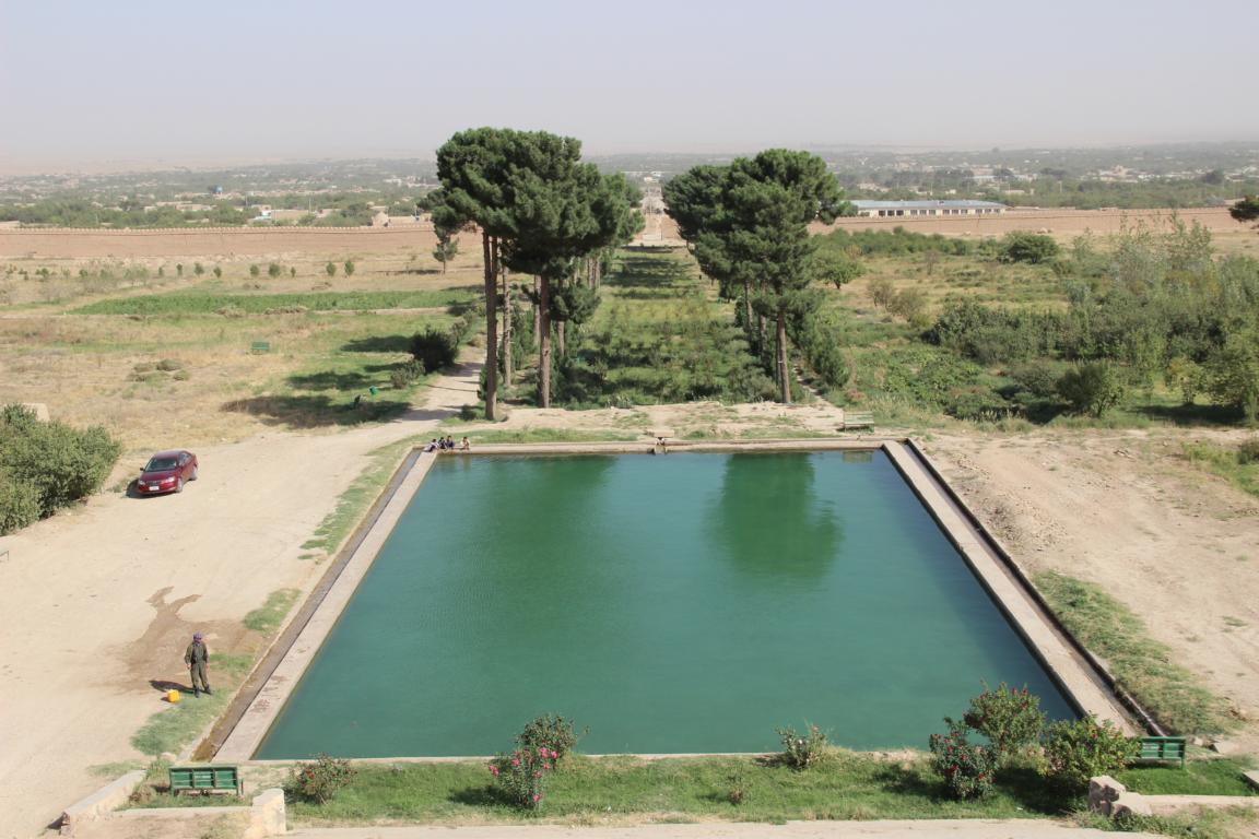
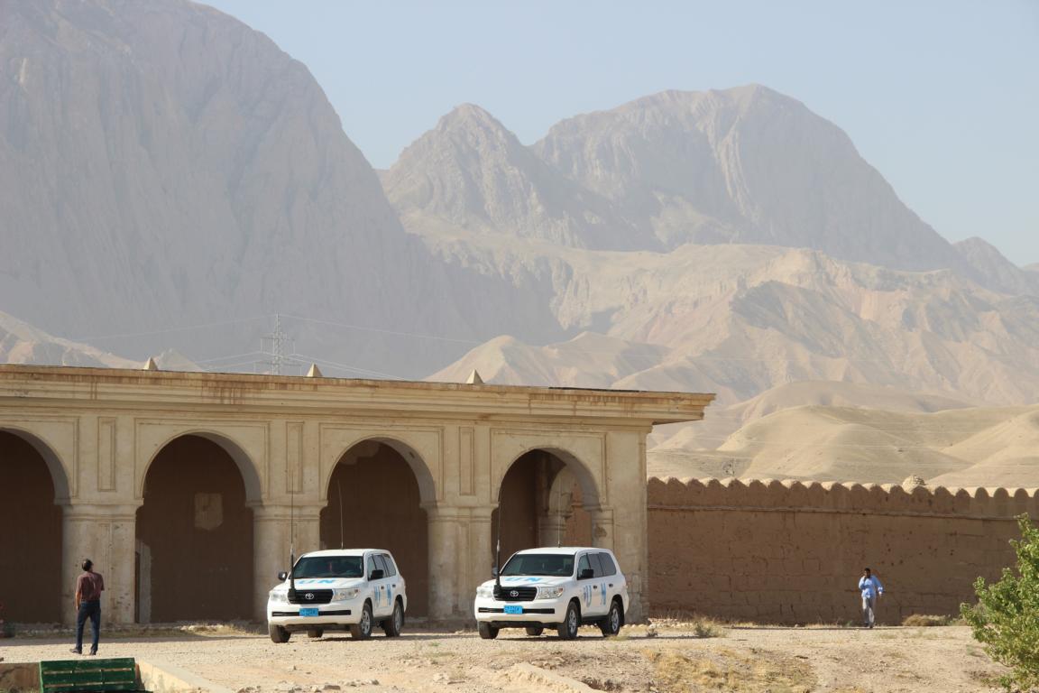
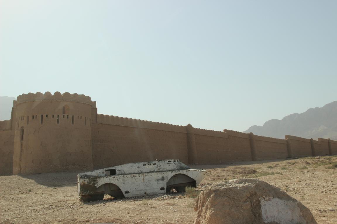
Weekend residence of the last king Zahir Shah near Kholm (20th century)
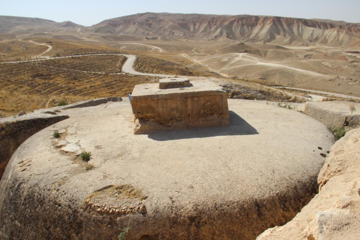
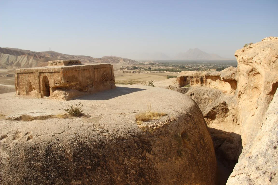
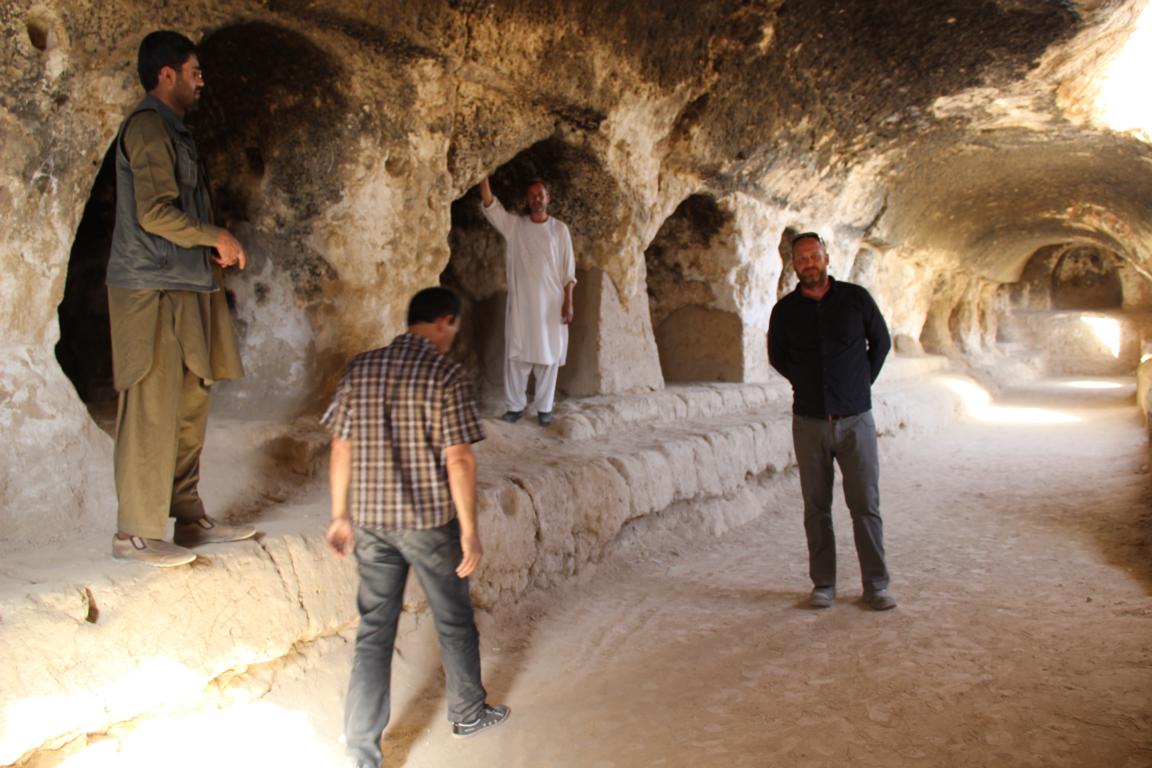
Buddhist stupa (Takht-e Rostam) in Aibak (dating from the centures B.C.)
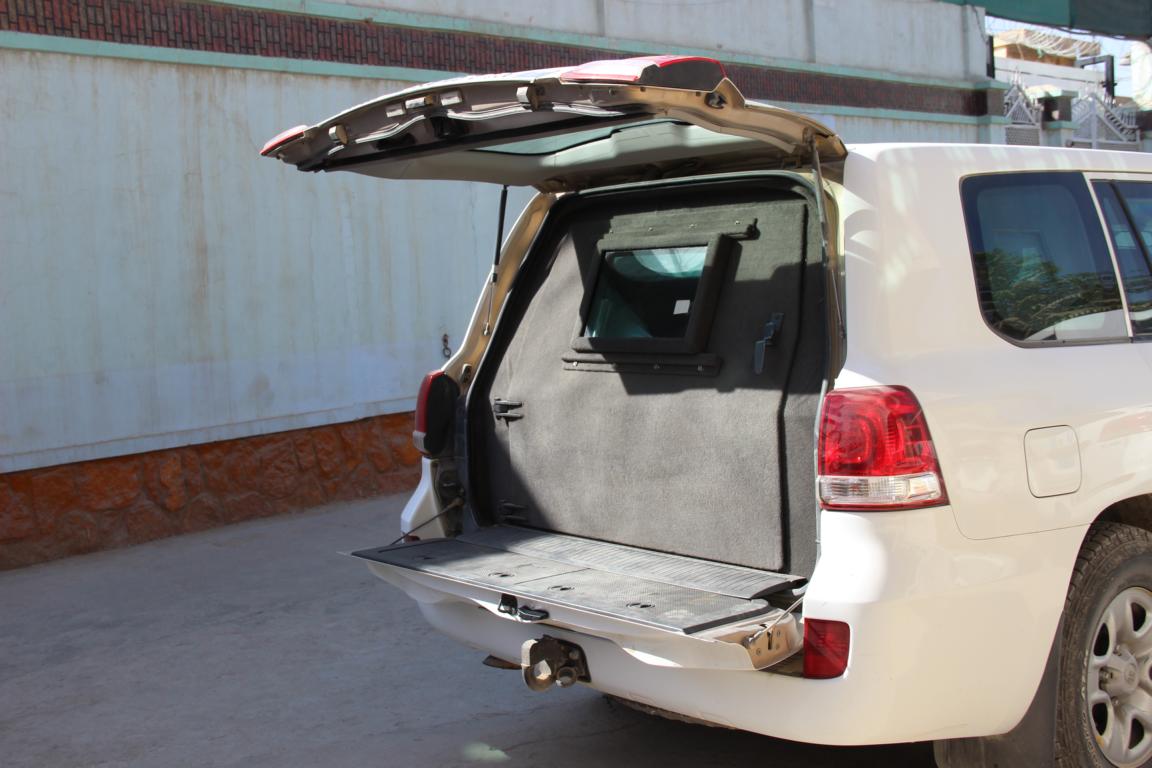
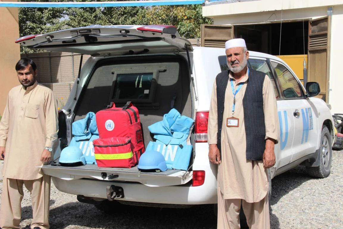
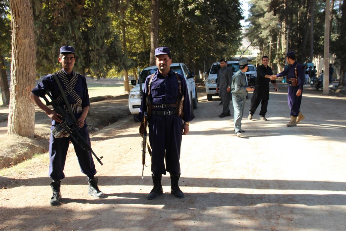
Security measures for field trips: armored vehicle, body armor, emergency trauma kit and a fiercely looking armed escort with enough fire power
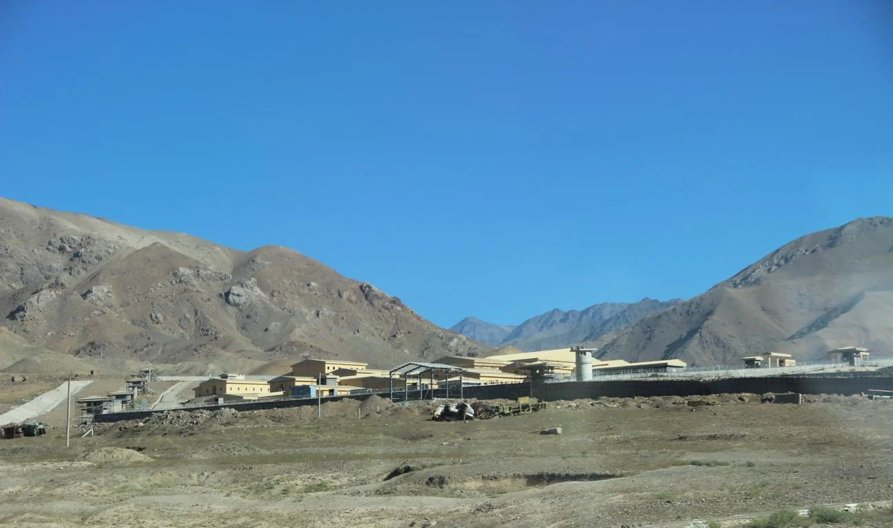
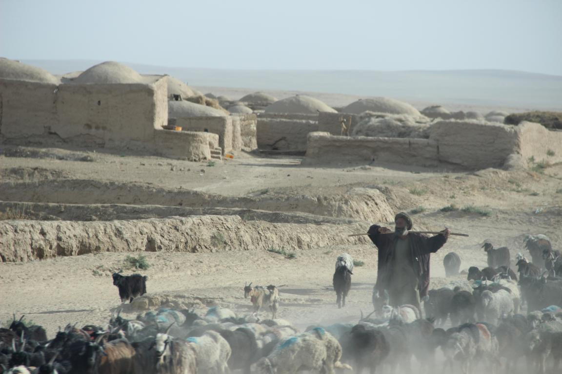
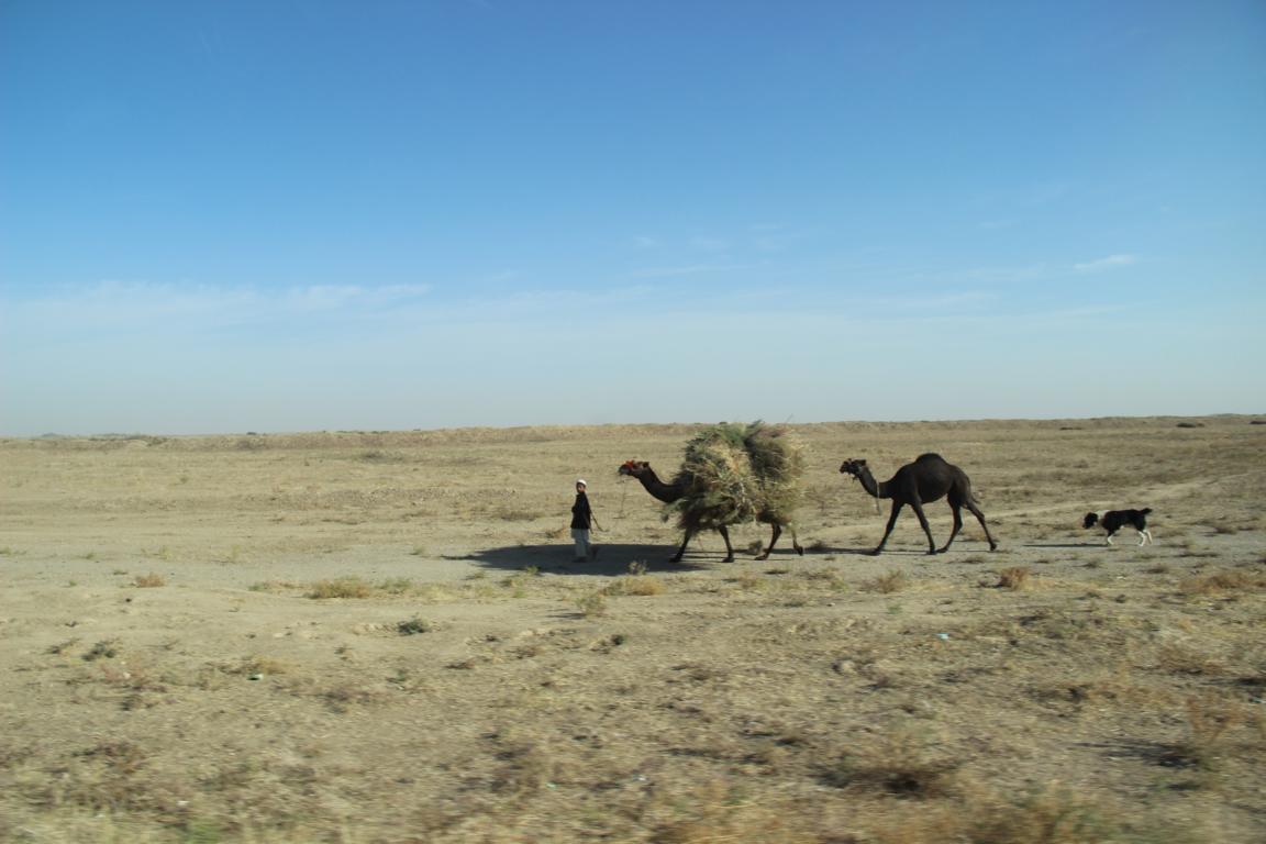
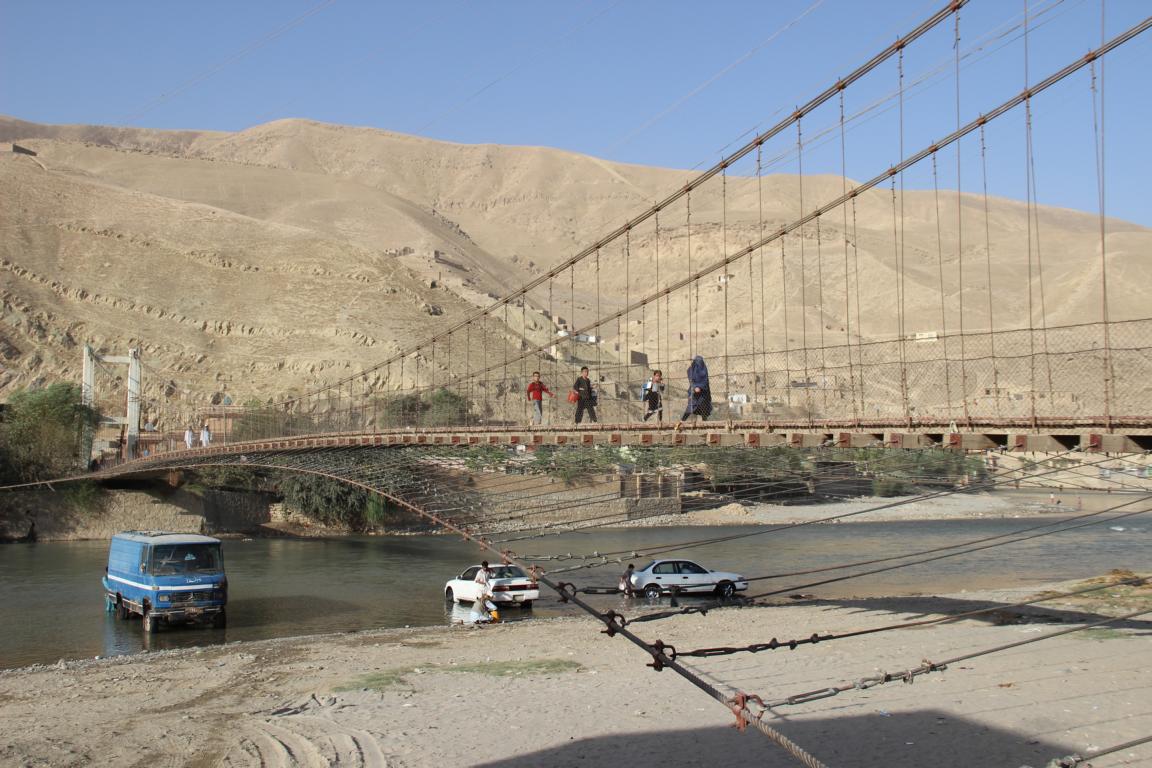
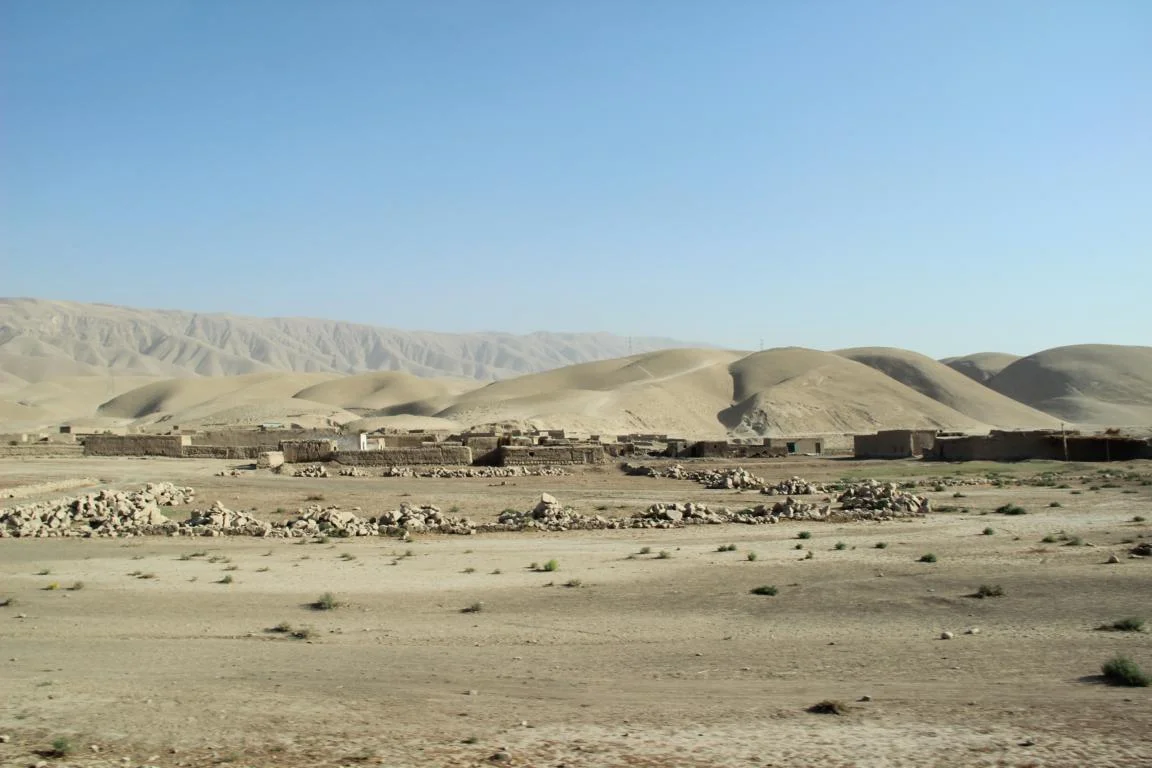
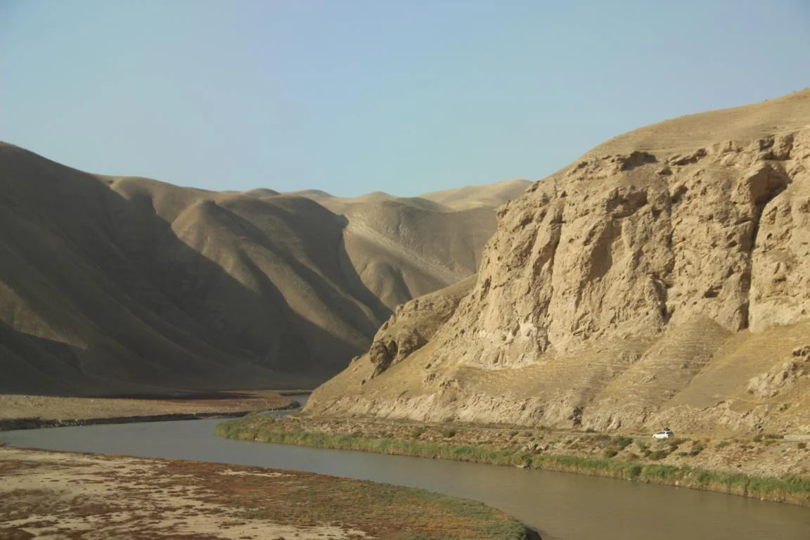
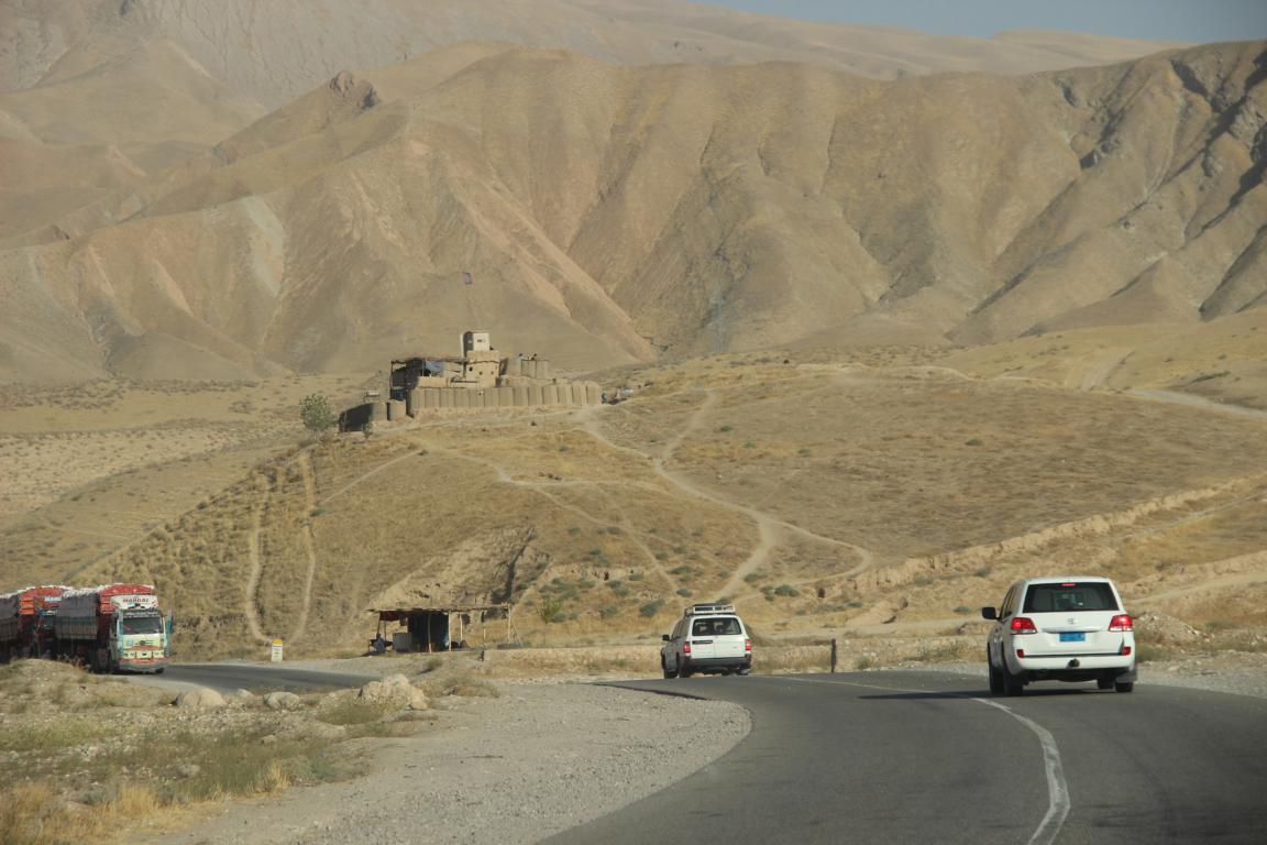
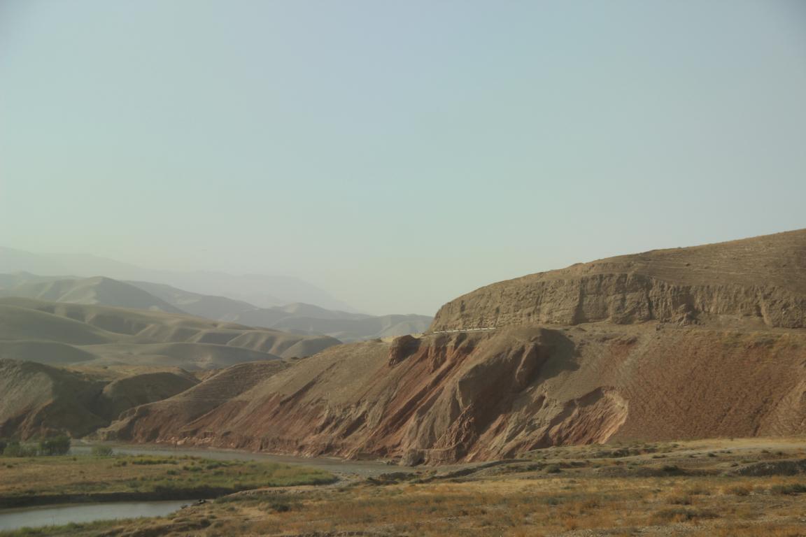
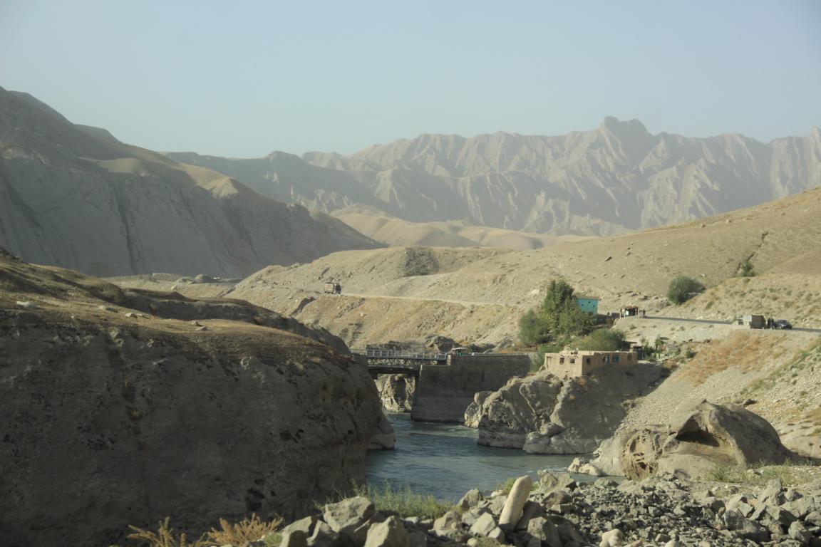
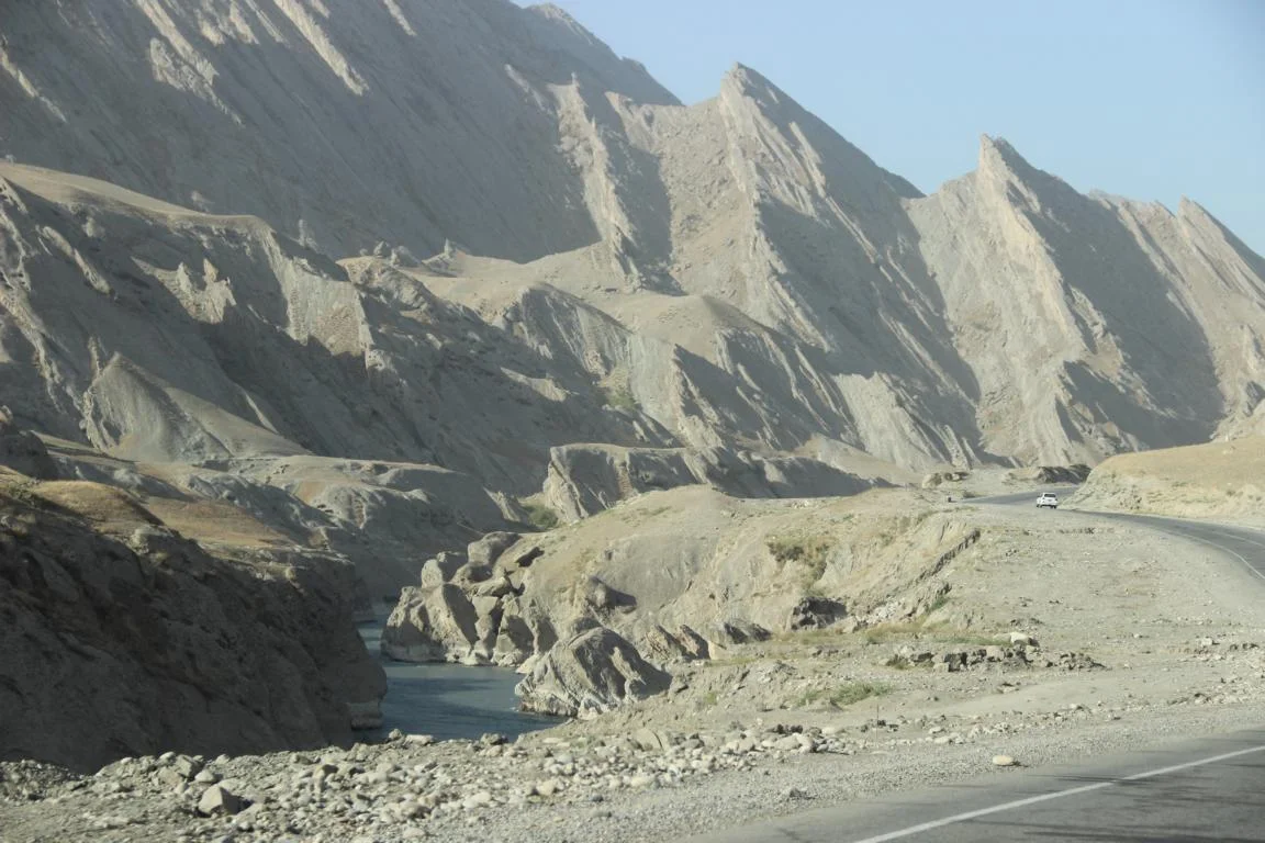
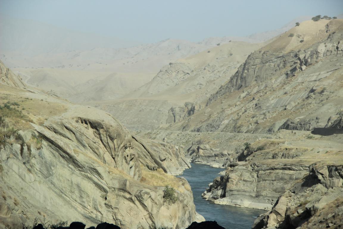
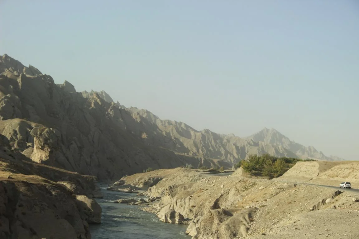
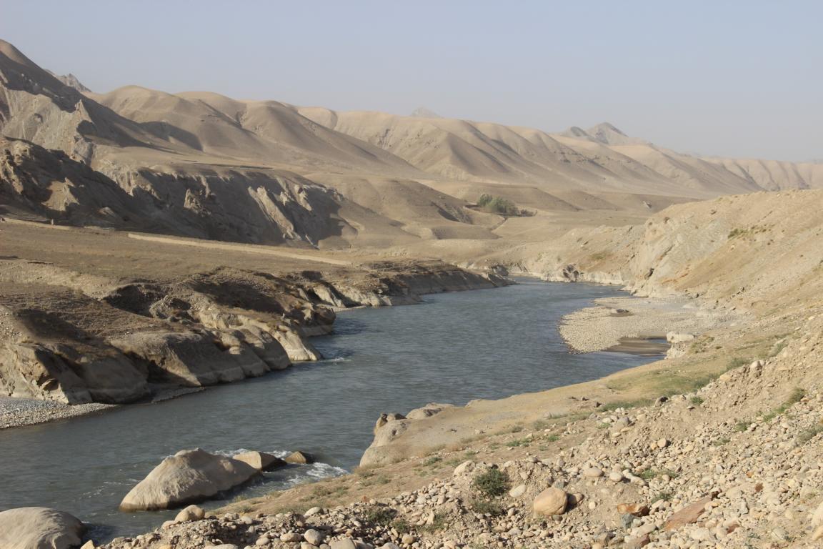
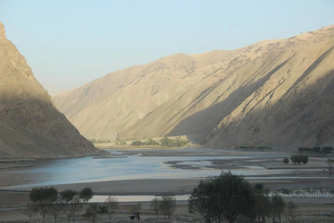
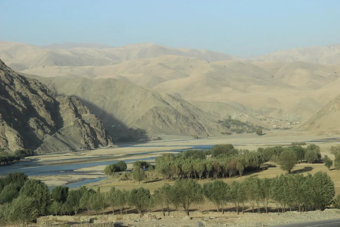
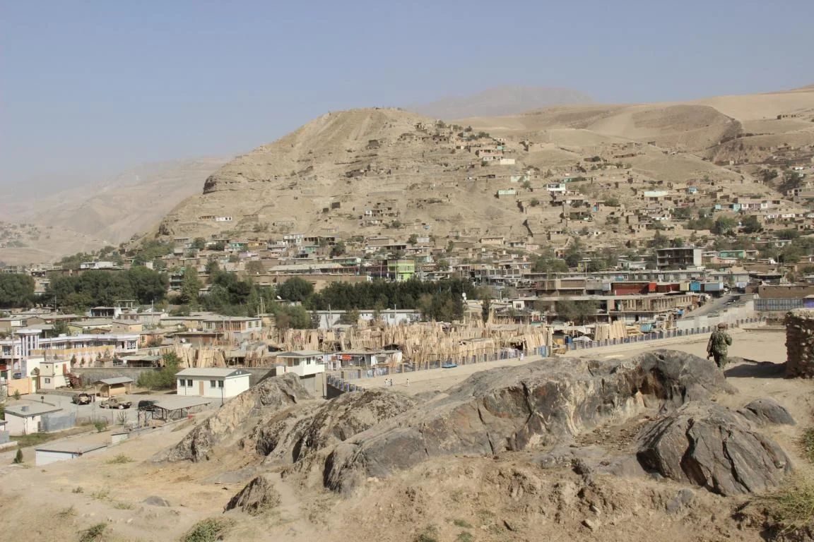
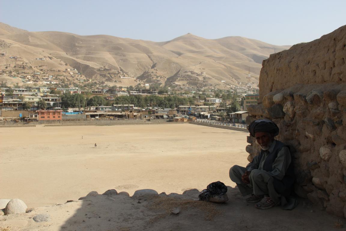
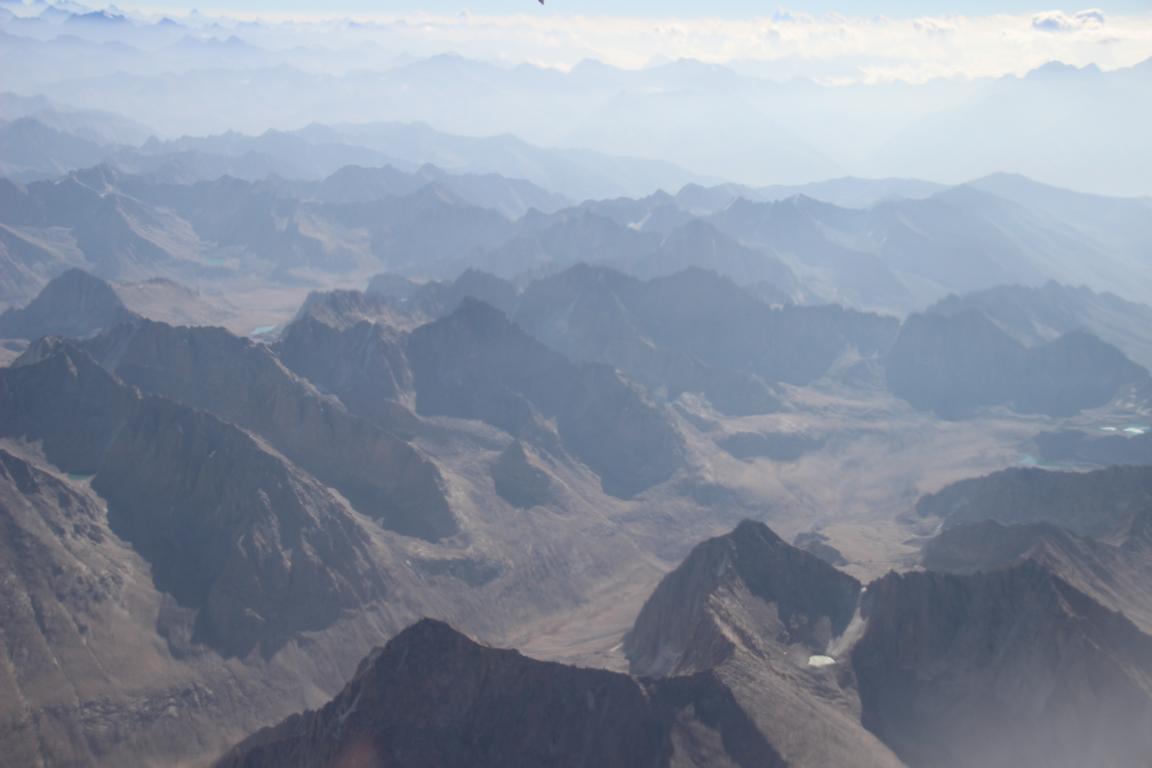
Landscapes of northern provinces (Sar-i Pol, Jowzjan, Balkh, Samangan, Baghlan, Kunduz, Takhar, Badakhshan)
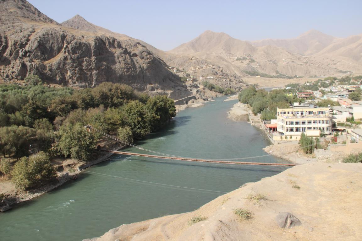
City of Faizabad (Badakhshan)