Summer 2018: Austria, Italy, Croatia
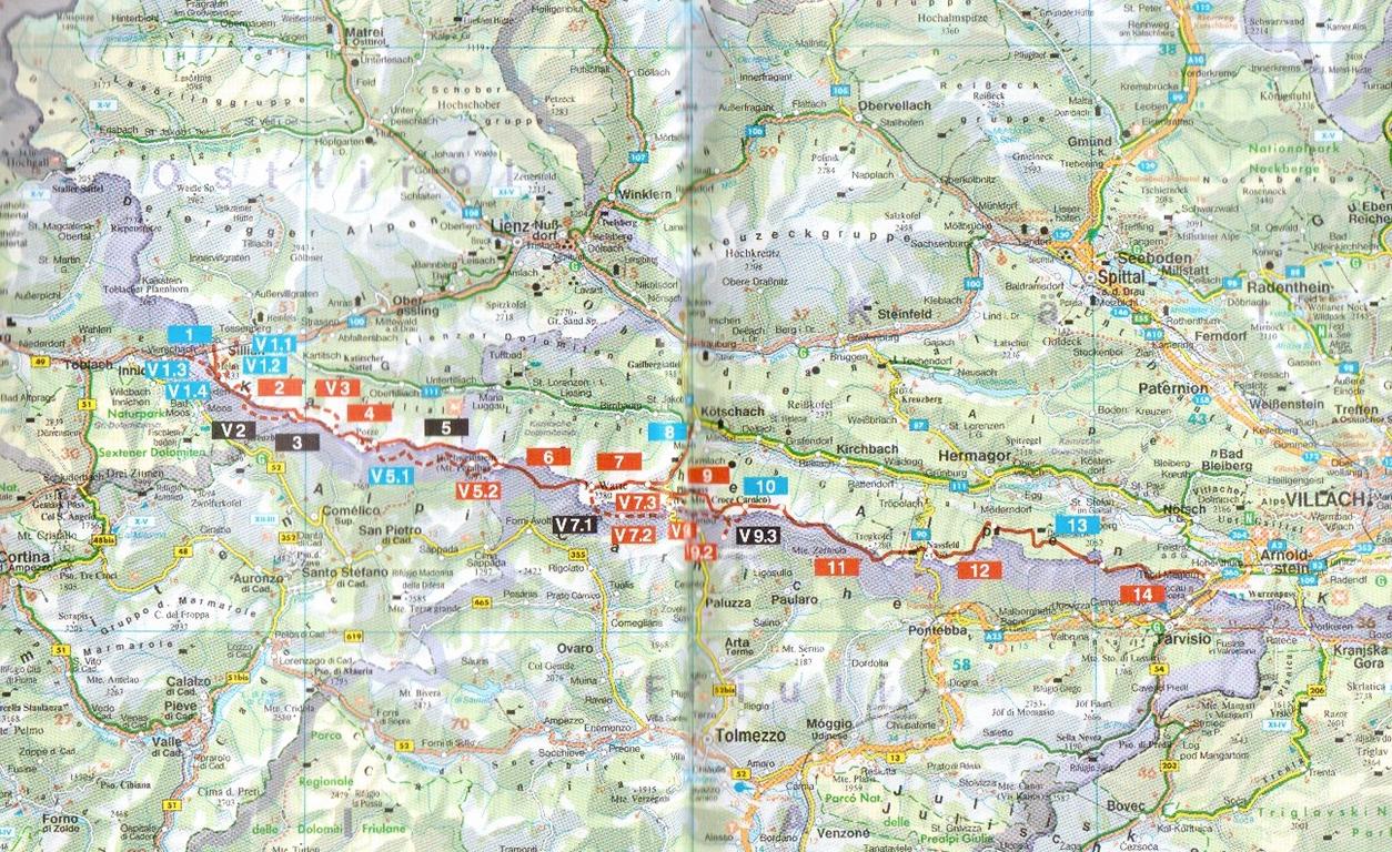
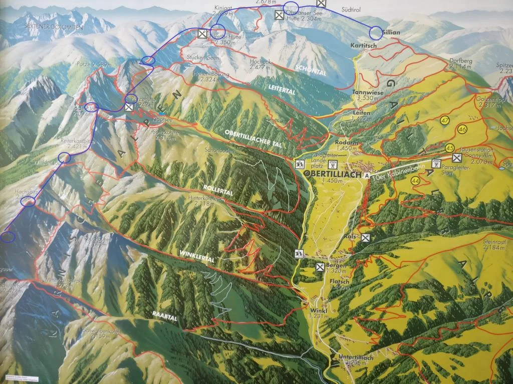
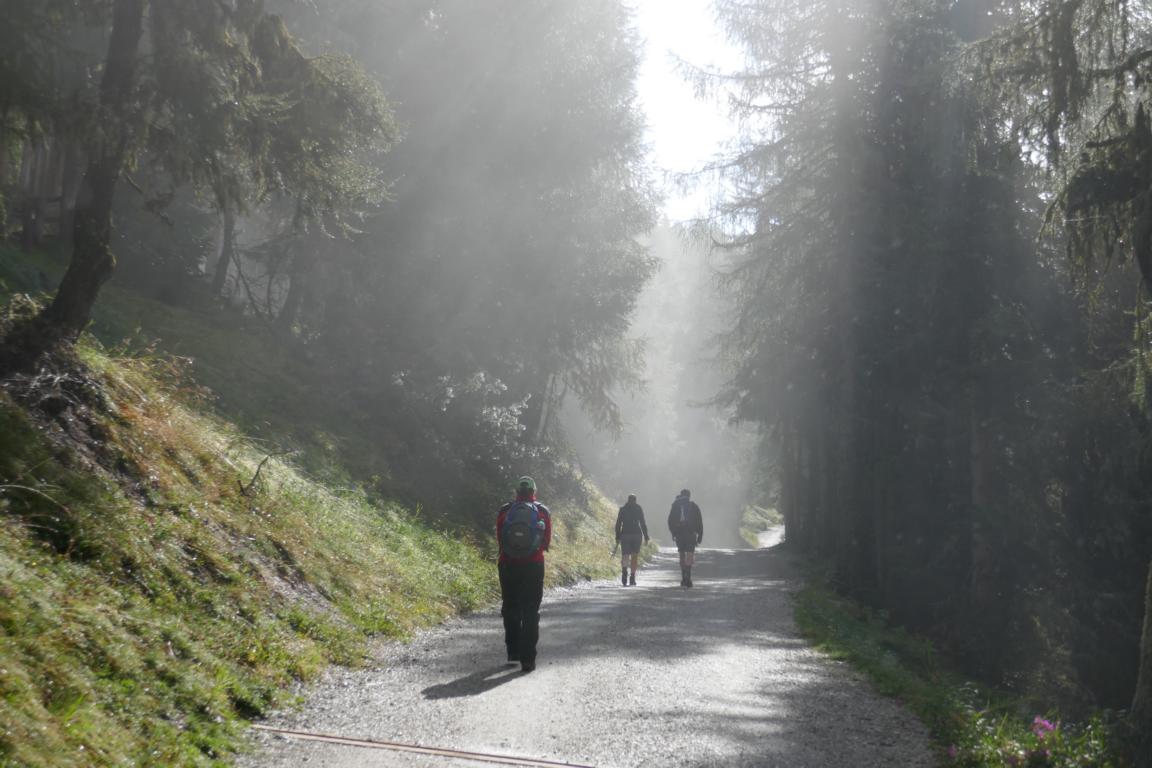
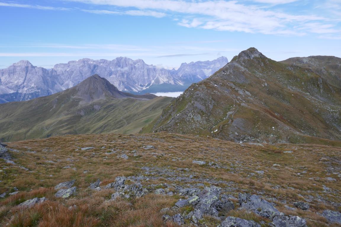
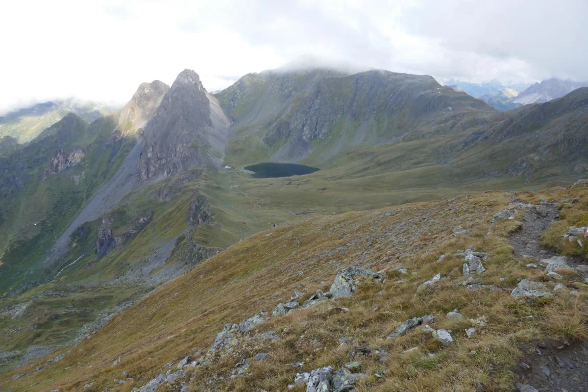
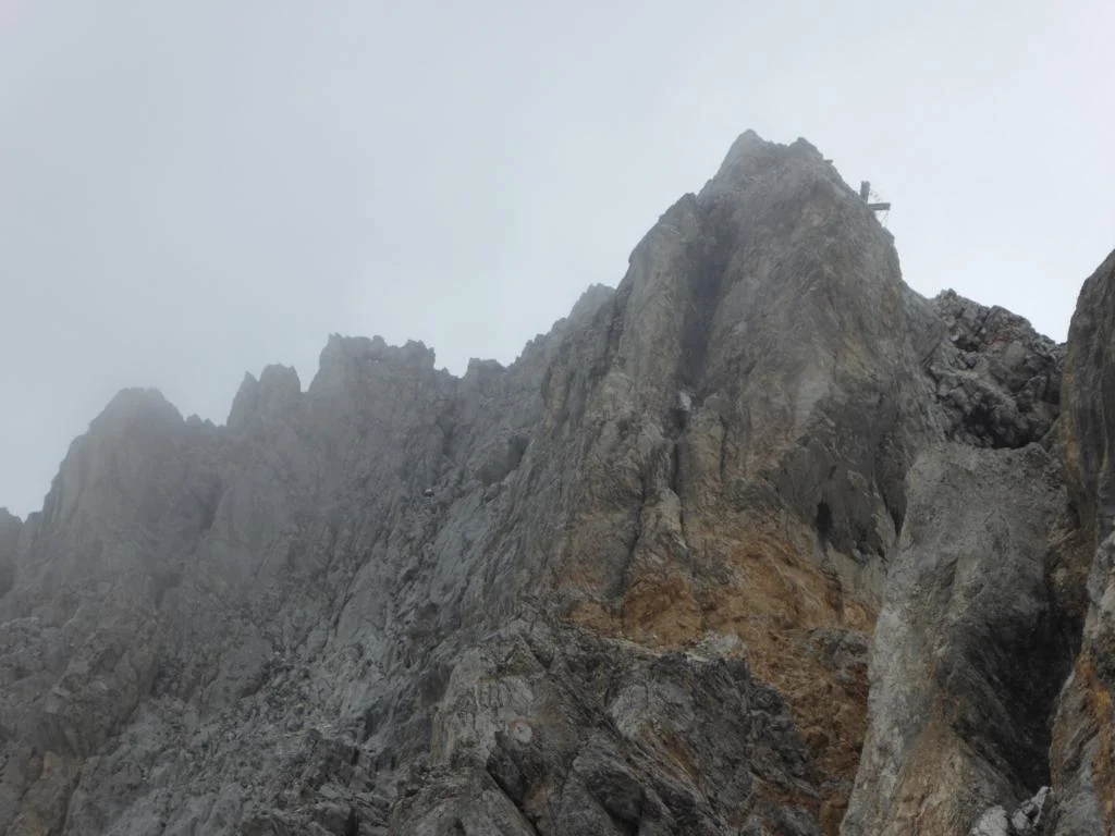
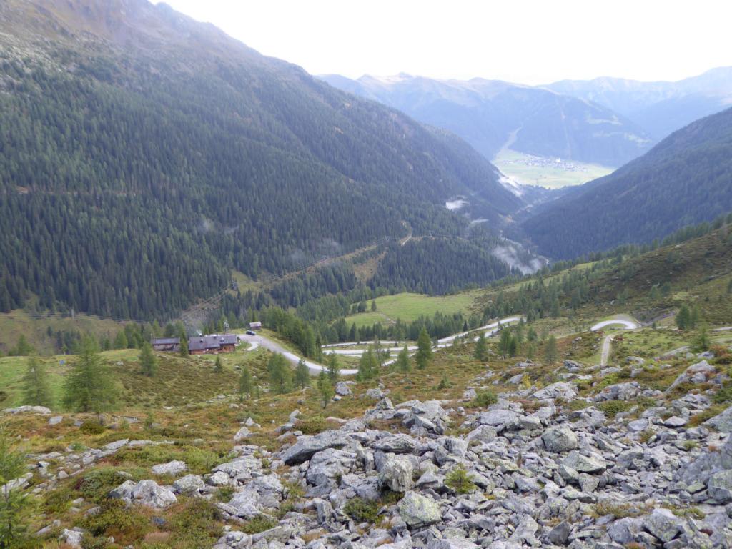
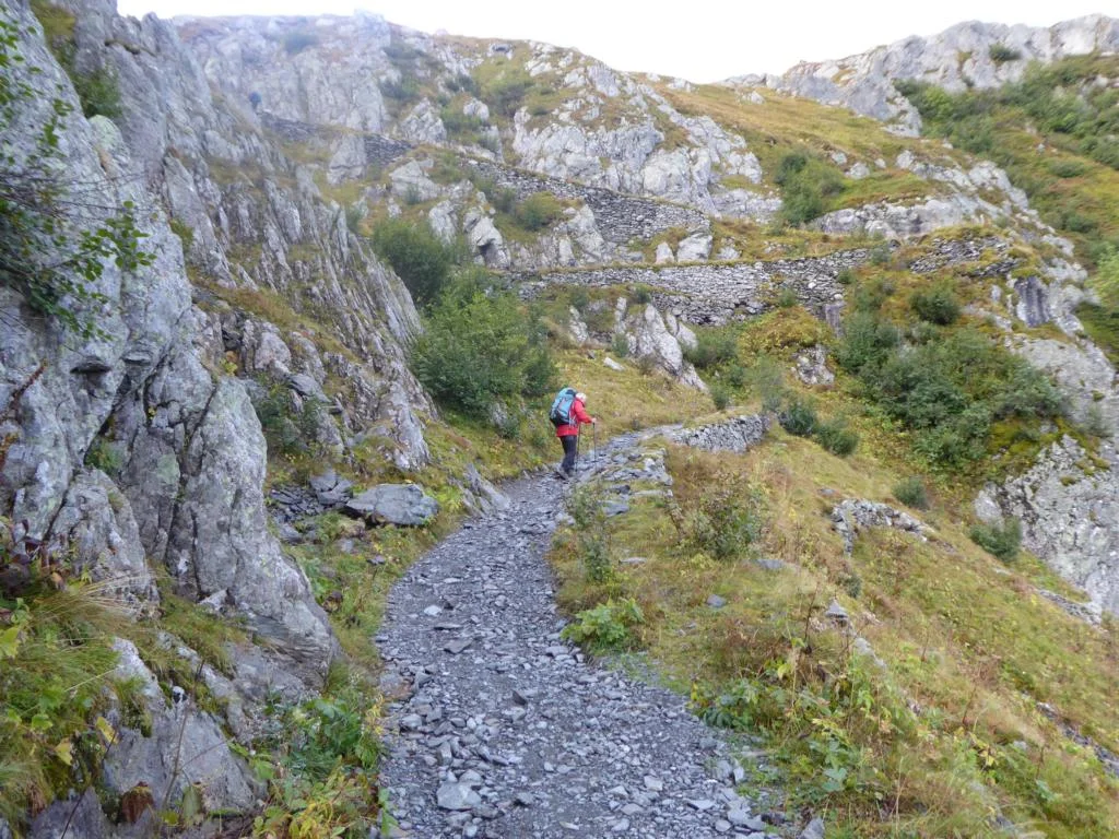
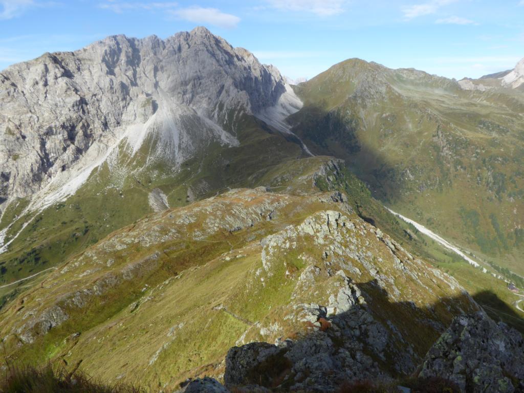
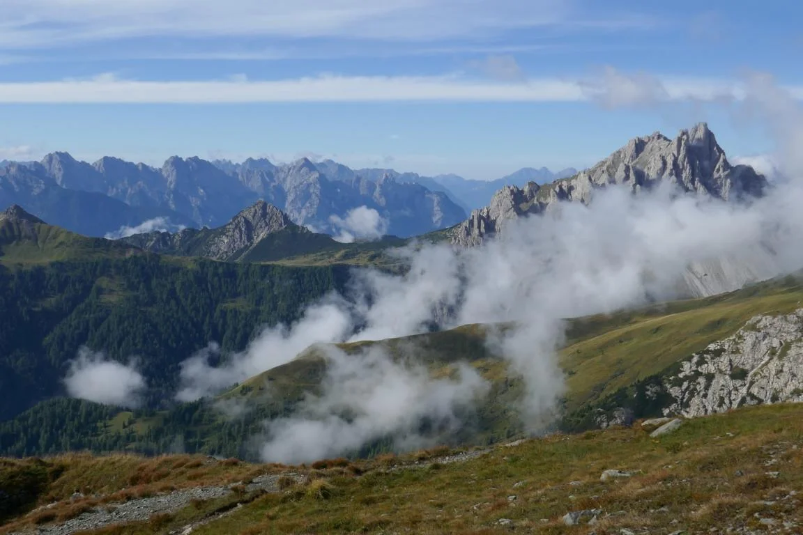
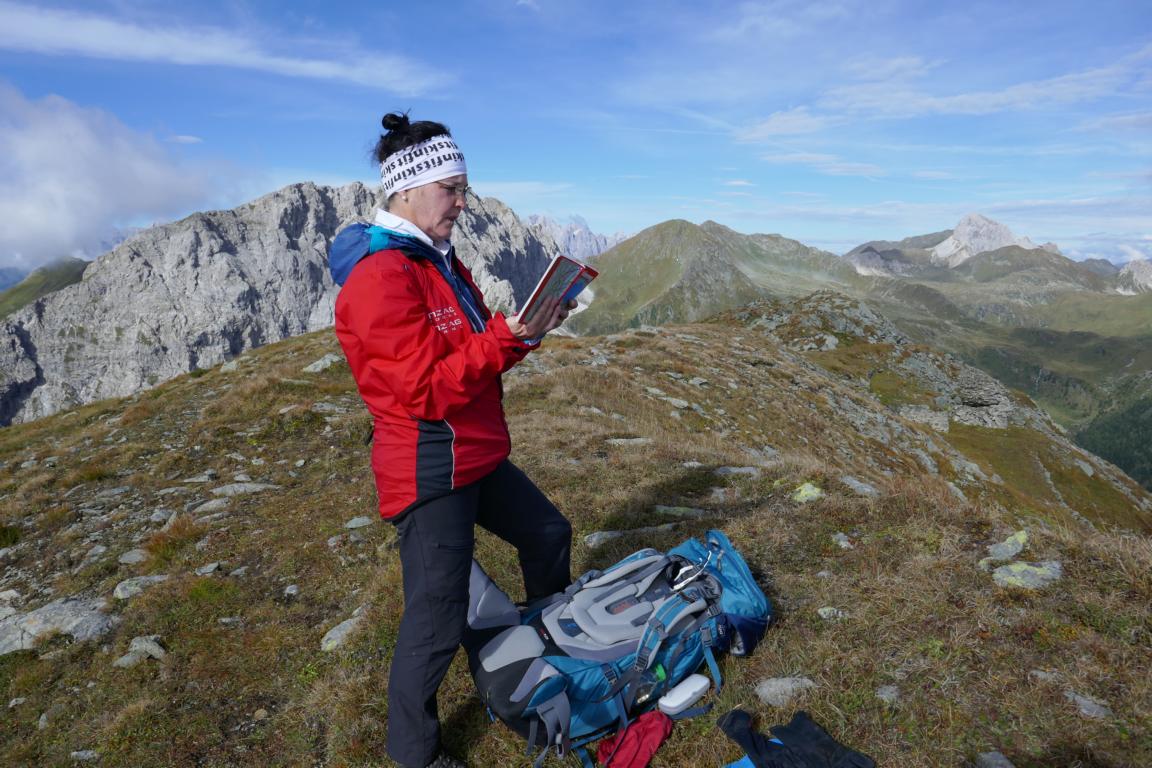
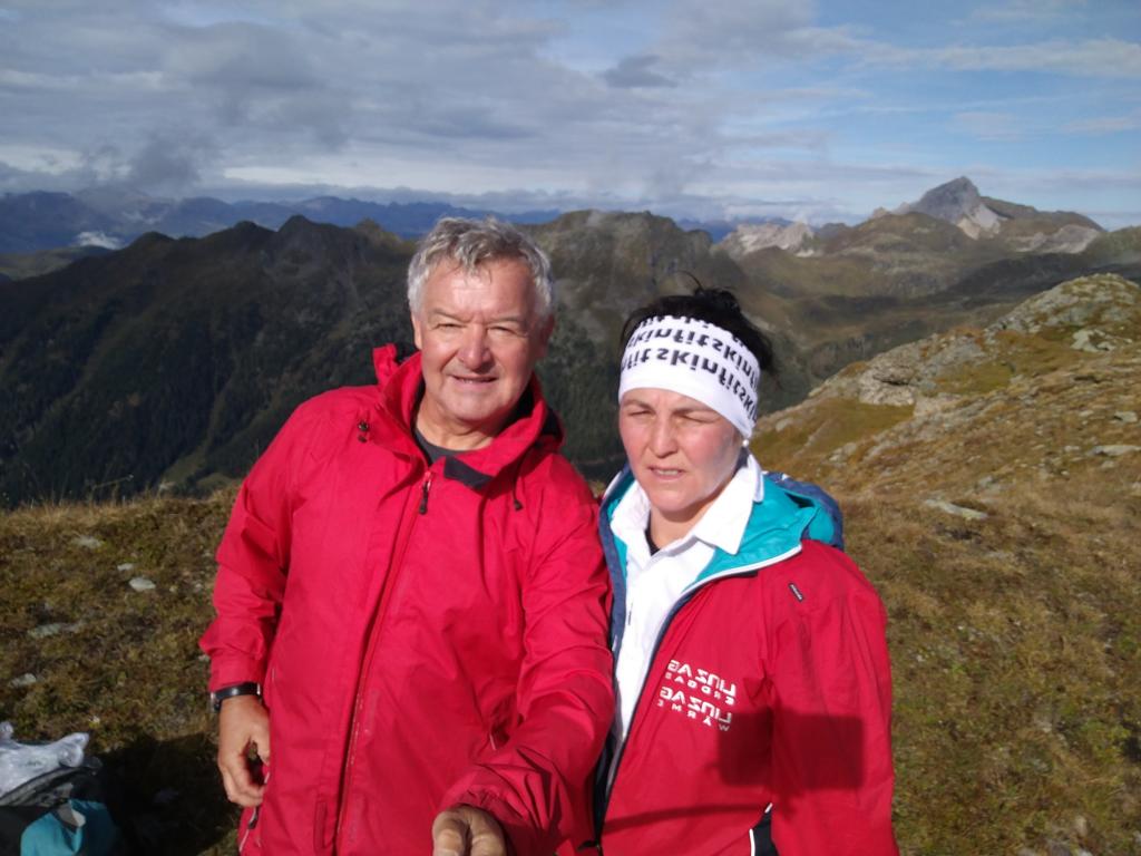
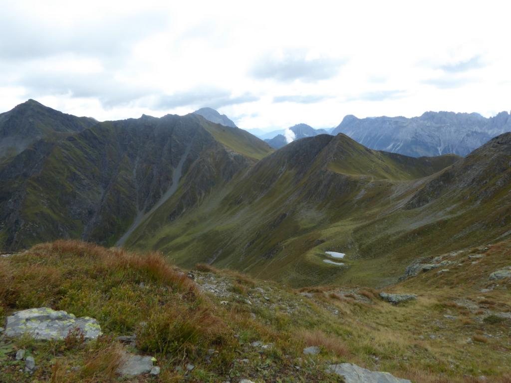
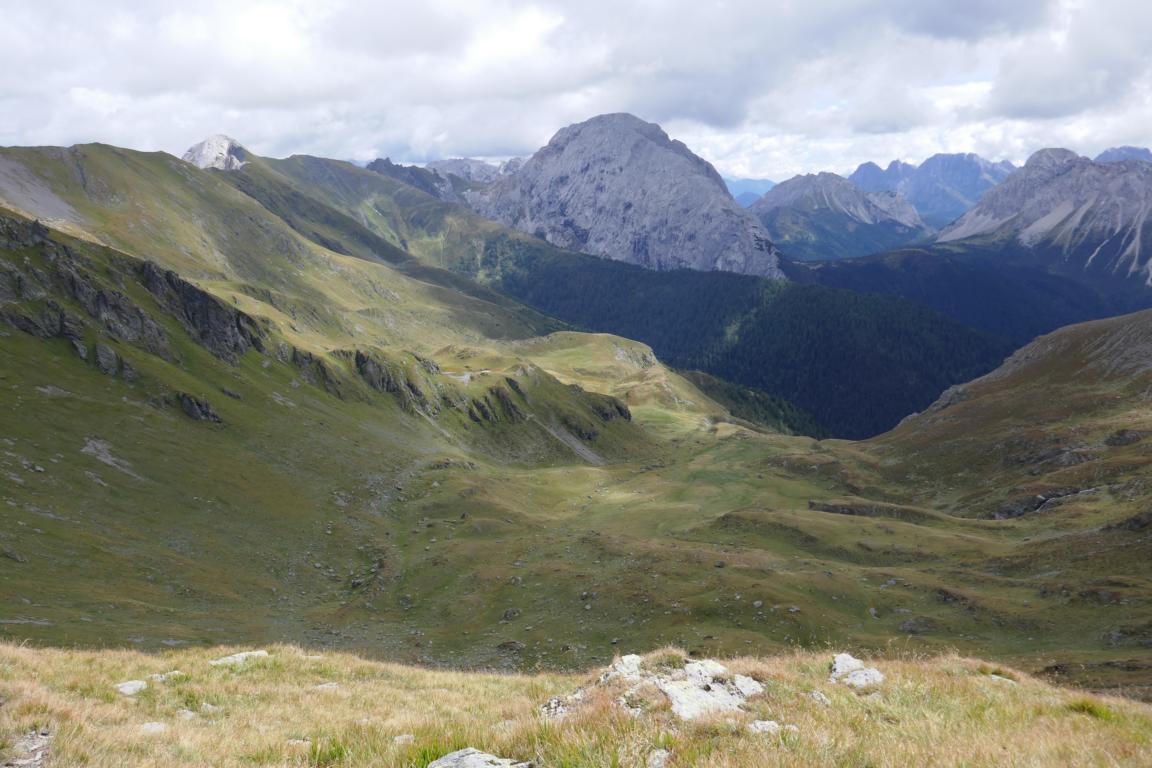
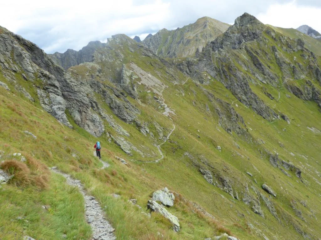
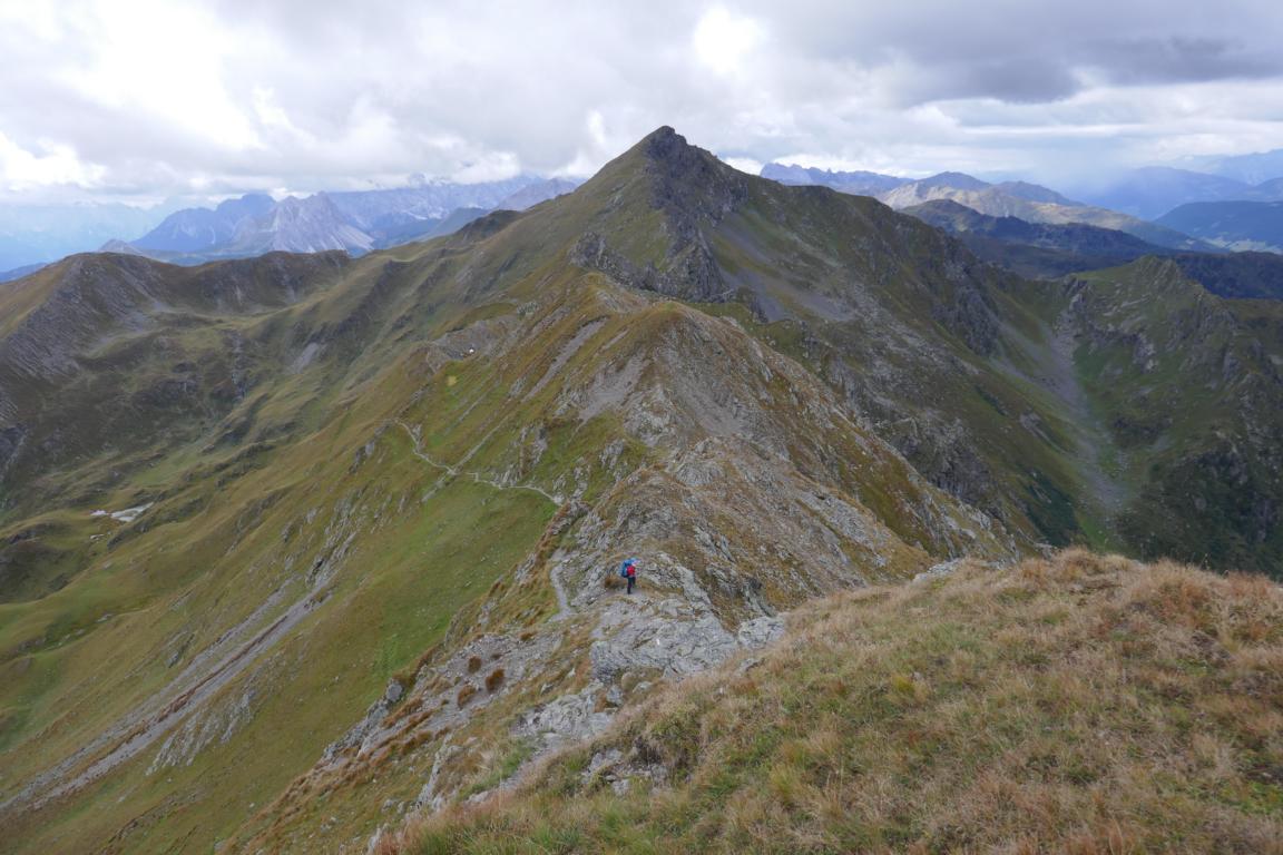
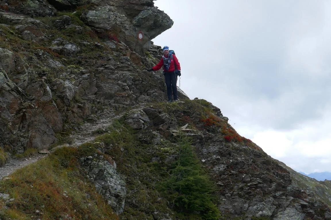
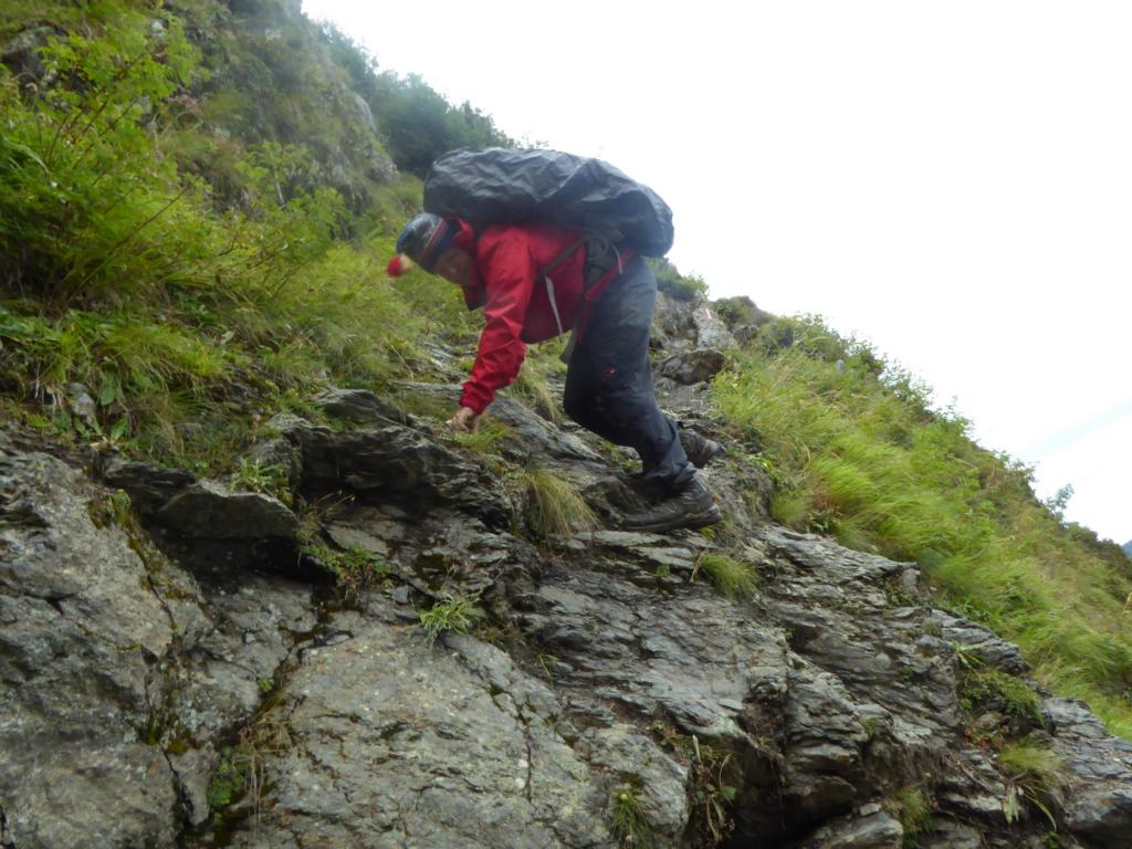
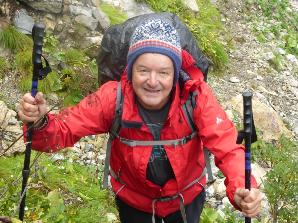
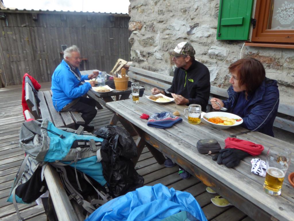
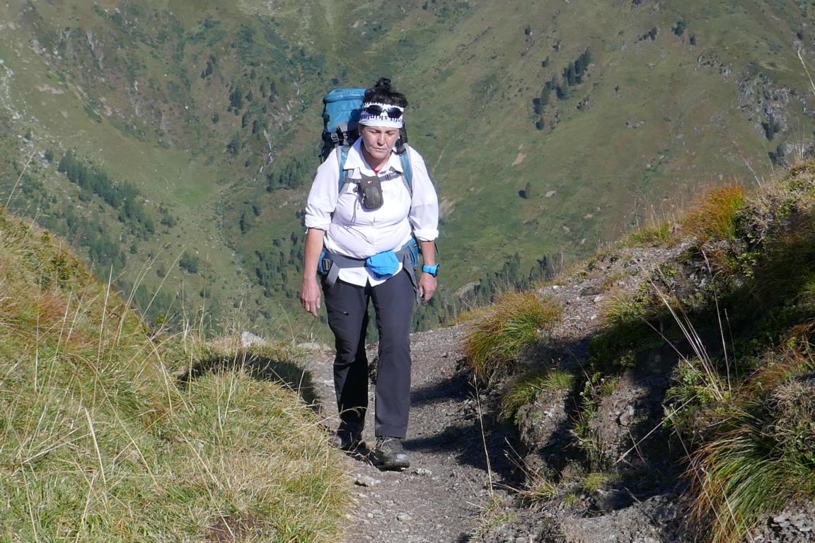
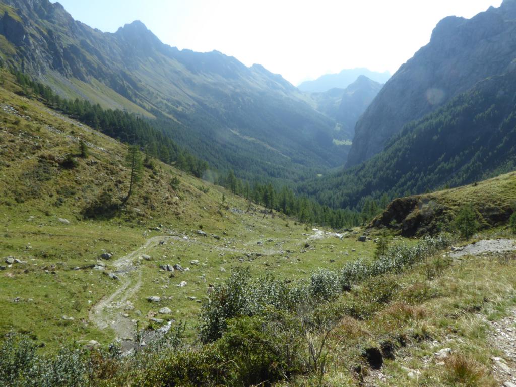
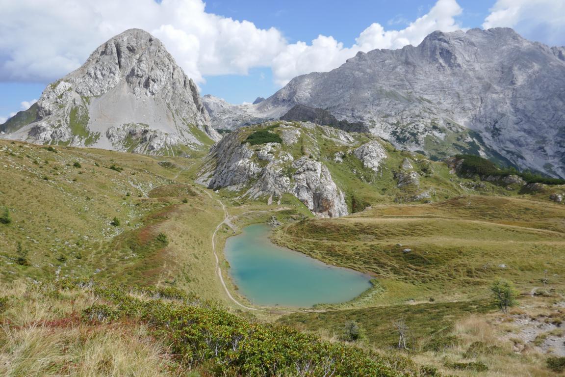
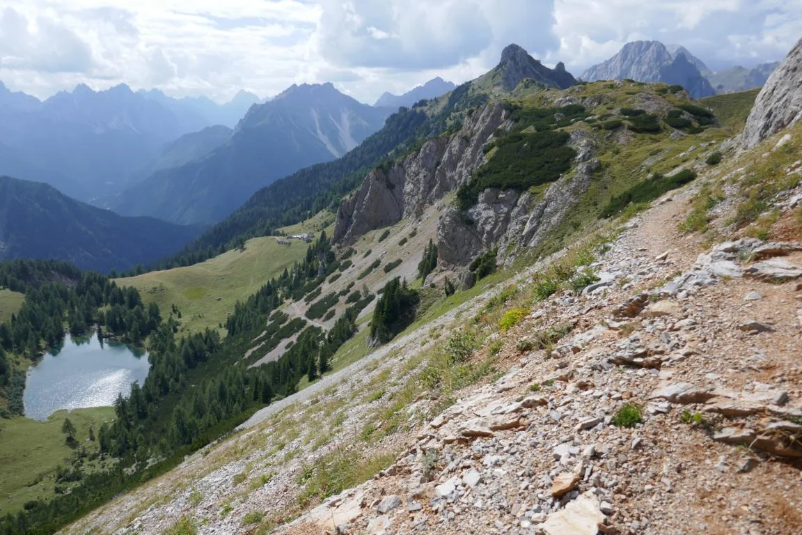
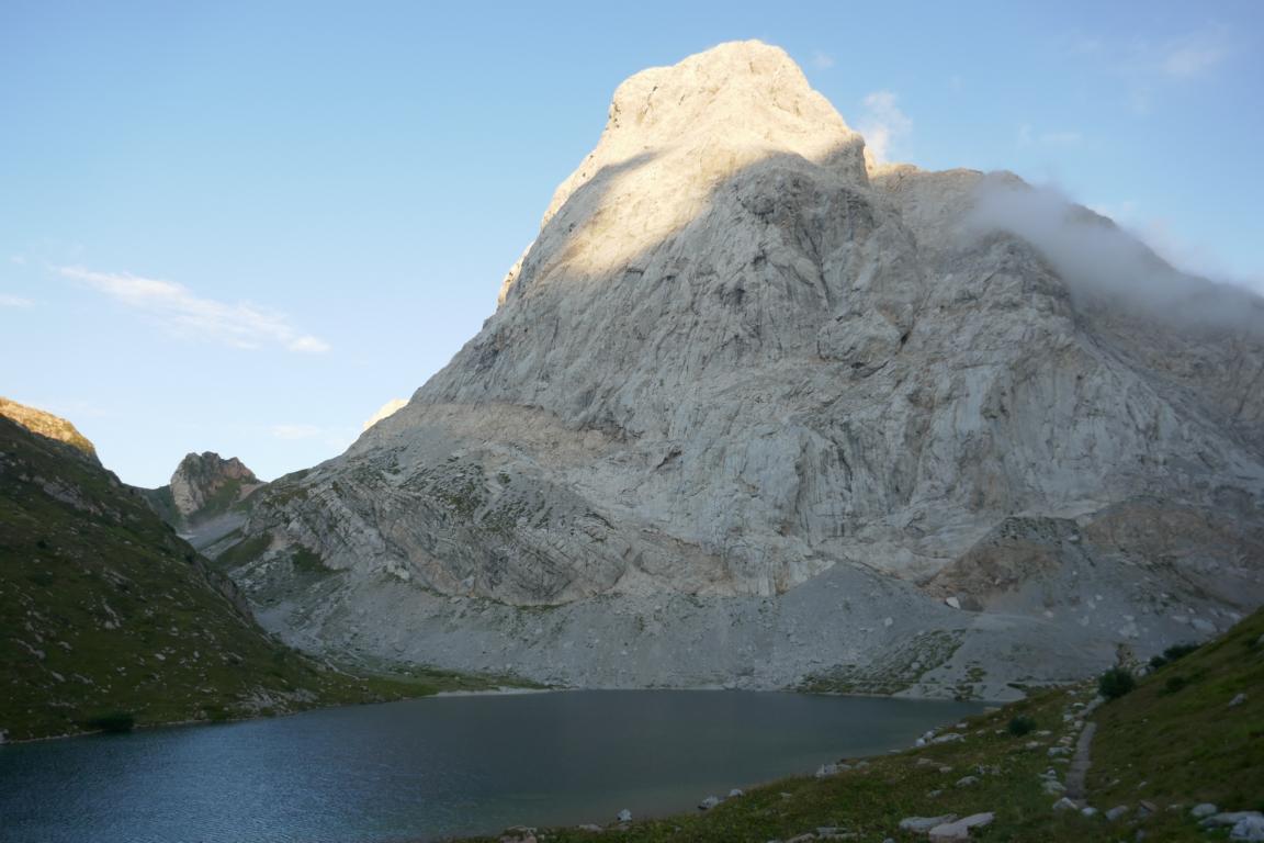
Summer 2018 Ursula and I spent in Europe. One of the highlights of these months was a five-day trekking tour hiking the western section of the Karnischer Höhenweg. The trail follows the main ridge of the Karnisch Alps which in this region constitute the Austrian / Italian border. Basically, most of the time one walks with one leg on Italian territory and with the other one on Austrian soil. The trail follows the ridge and leads from peak to peak with the highest point at around 2,600 m. The daily walking sections vary between 5 to 10 hours. Mountain chalets offer food and basic accomodation (advance reservation is absolute necessary!).
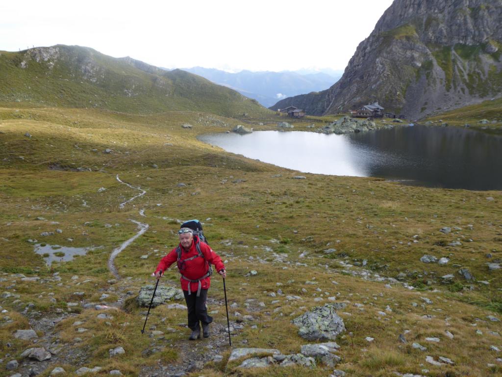
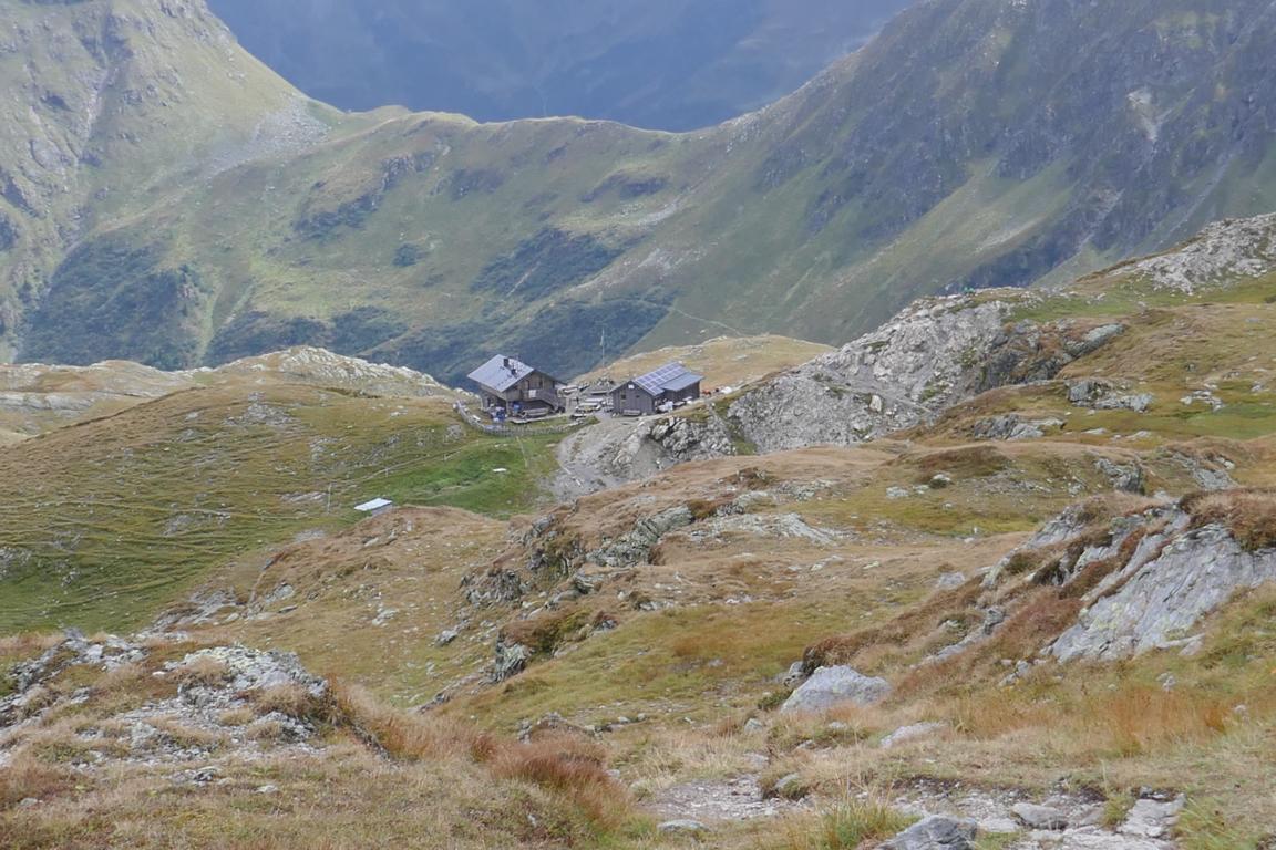
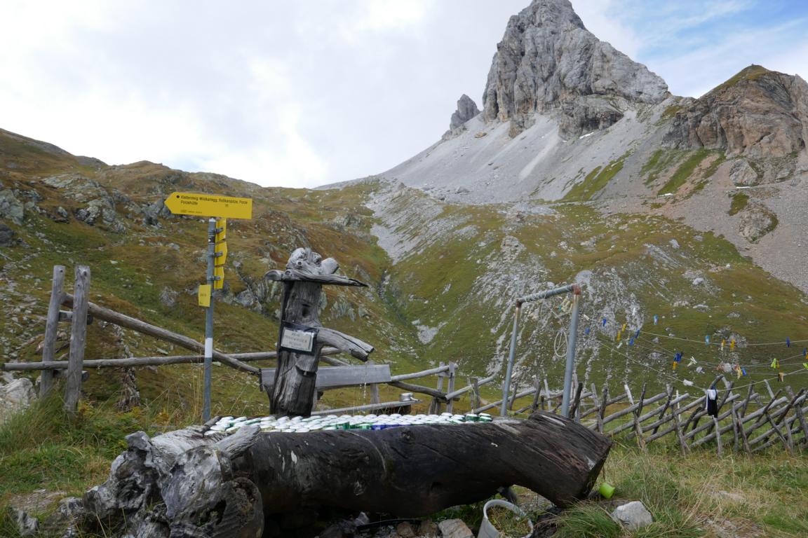
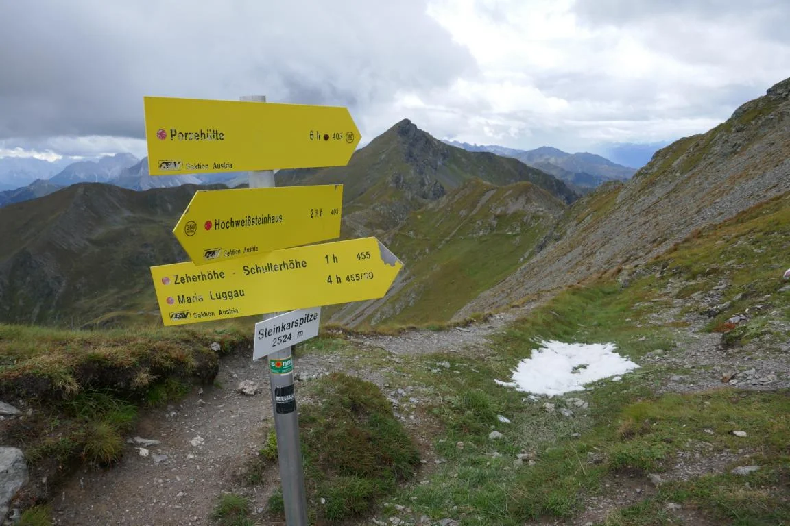
One can start the hike in Sillian or Vierschach and during the first two days passes the Sillian chalet, the Obstanseer Chalet, the Standschützen Chalet and the Porze Chalet
Den Sommer 2018 haben Ursula und ich in Europa verbracht. Einer der Höhepunkte dieser Monate war eine fünftägige Bergwanderung entlang des Karnischen Höhenwegs. Der Weg folgt dem Hauptkamm der Karnischen Alpen, der hier die Staatsgrenze zwischen Österreich und Italien bildet. Die meiste Zeit marschiert man sprichwörtlich mit einem Fuß in Italien und dem anderen auf österreichischem Boden. Der Weg führt entlang des Kamms von Gipfel zu Gipfel mit ca 2.600 m als dem höchsten Punkt. Die Tagesstrecken variieren zwischen 5 und 10 Stunden. Übernachtet wird auf Schutzhütten (Vorreservierung ist unbedingt erforderlich!).
Man kann die Wanderung in Sillian oder in Vierschach beginnen. In den ersten Tagen passiert man die Sillianer Hütte, die Obstanseer Hütte, die Standschützen Hütte und die Porze Hütte.

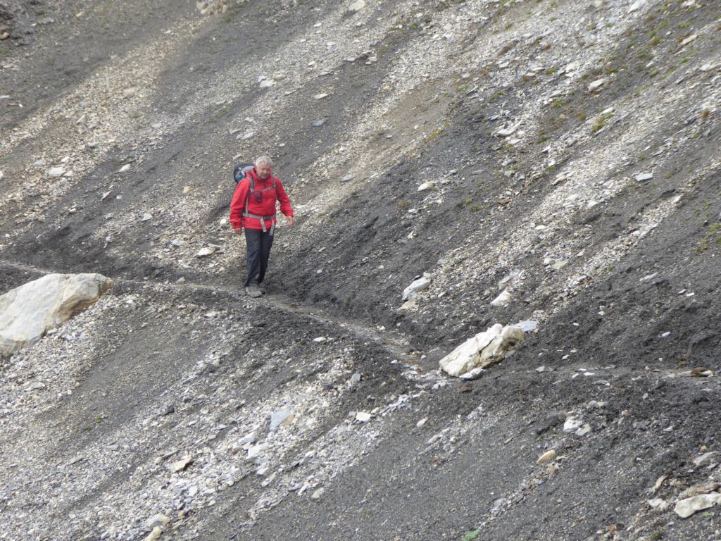
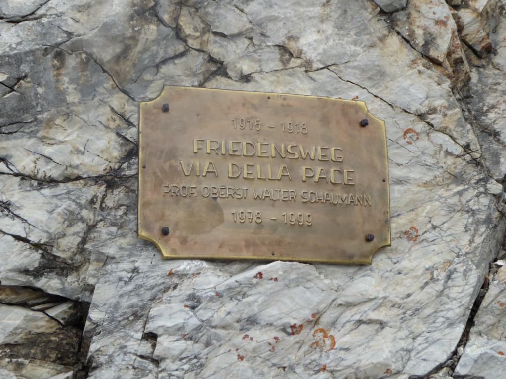
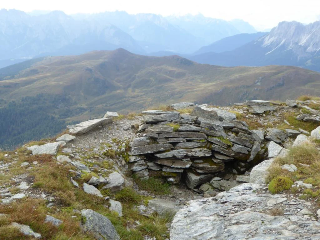
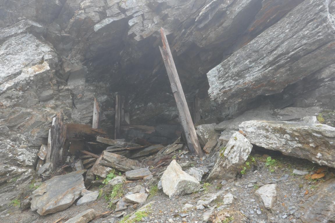
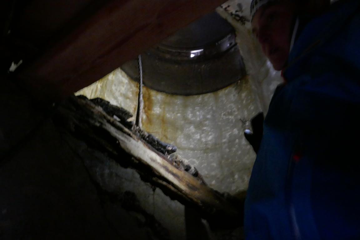
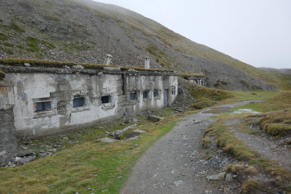
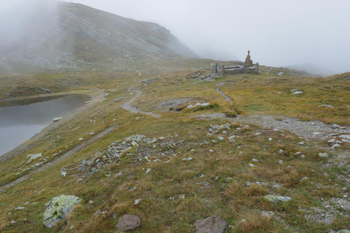
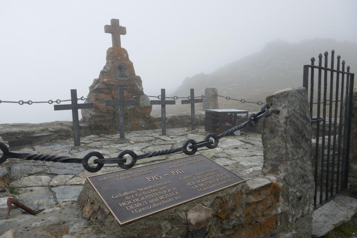
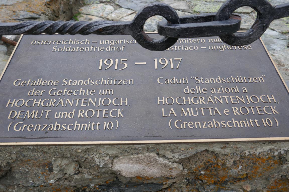
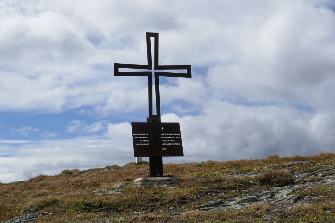
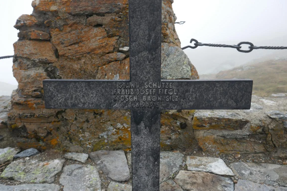
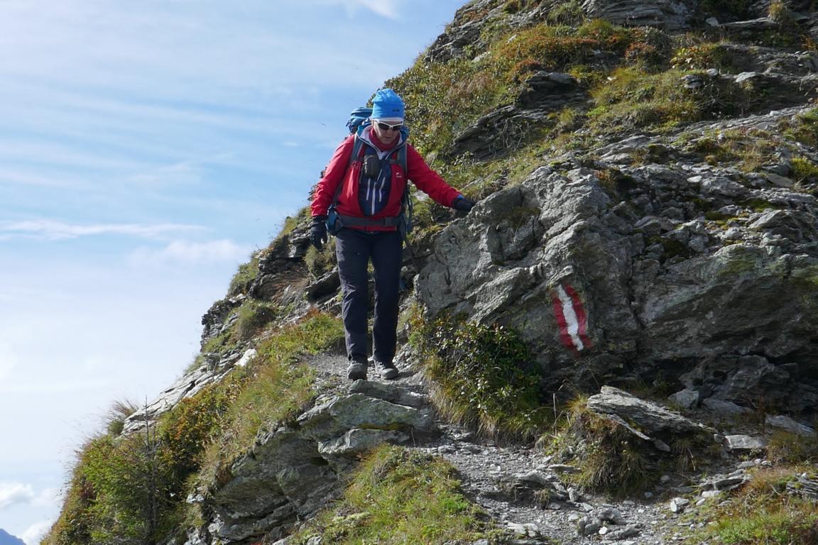
During World War I the mountain ridge between 1915 and 1917 was the frontline where Austro-Hungarian and Italian troops fought a fierce and bloody battle. Even today one still can find the old trenches, fighting positions and bunkers, occasionally interrupted by an old graveyard. In particular avalanches (often triggered by enemy artillery fire) and the harsh winter conditions at 2,500 m of altitude caused a high death toll. Today the path is part of Europe’s peace trails / Via della Pace commemorating the human sacrifice.
Während des Ersten Weltkriegs bildete die Kammlinie für zwei Jahre (1915-1917) die Frontlinie und den Schauplatz heftiger Kämpfe zwischen den italienischen und österreichisch-ungarischen Truppen. Lawinen (häufig durch feindliches Artillerie-Feuer ausgelöst) und die harten klimatischen Winter-Bedingungen auf 2.500 m Höhe forderten viele Todesopfer. Heute ist der Weg ein Friedensweg / Via della Pace, der an das vergangen Leiden erinnern soll.


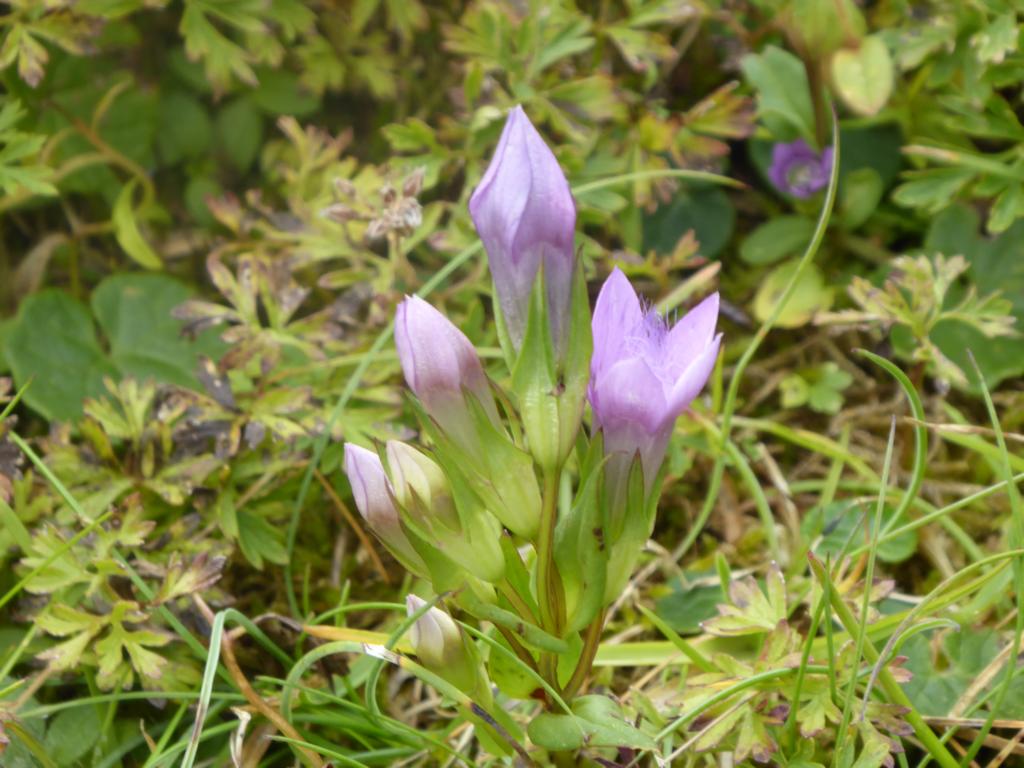
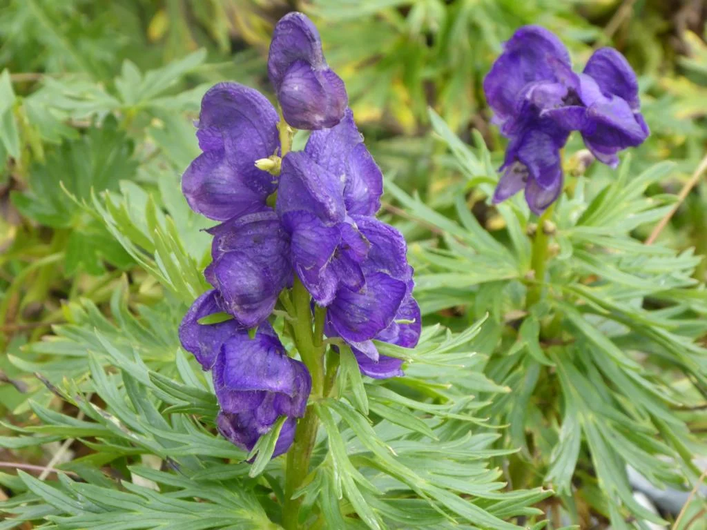
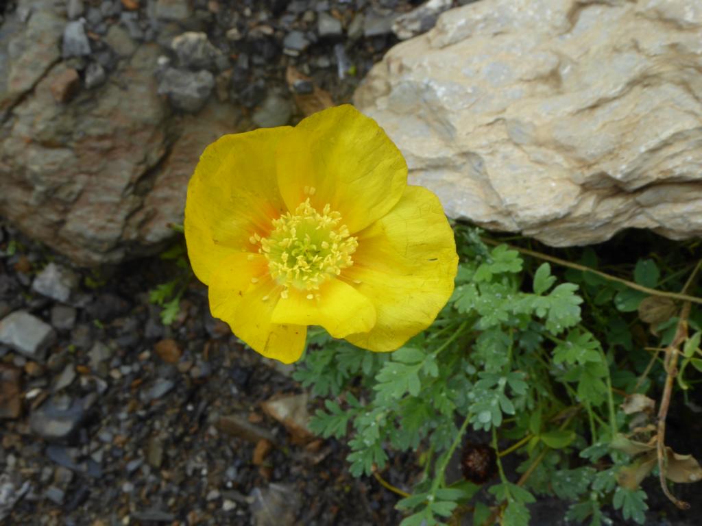
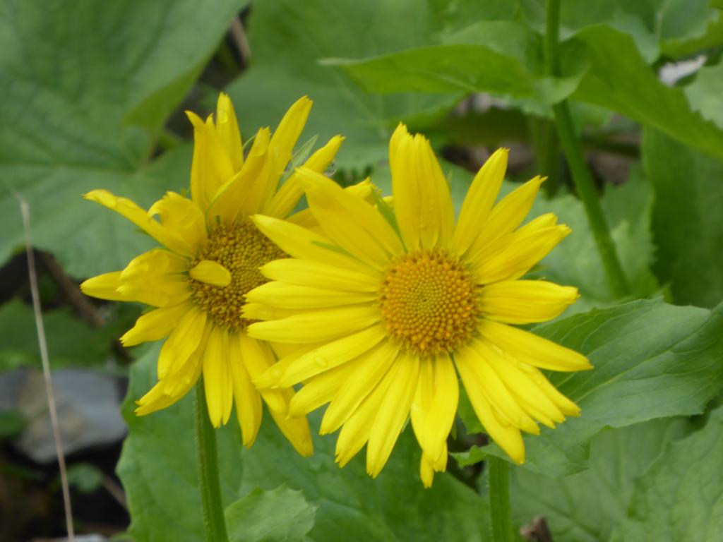
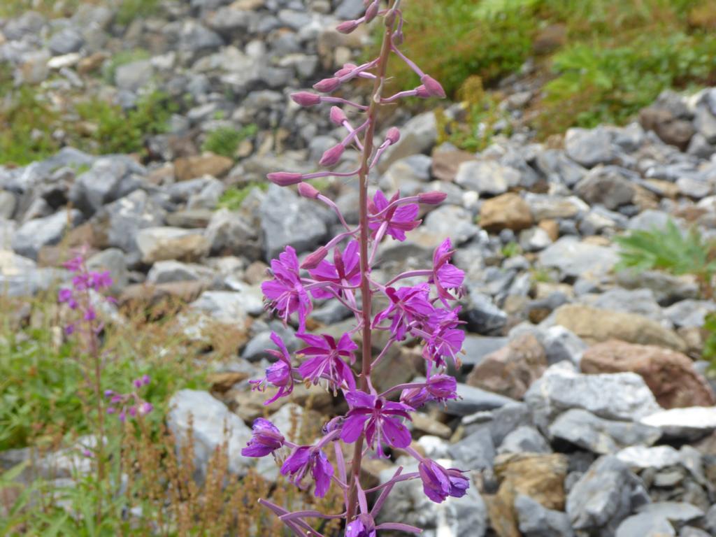
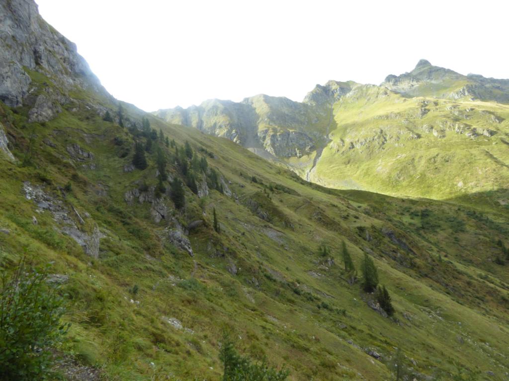
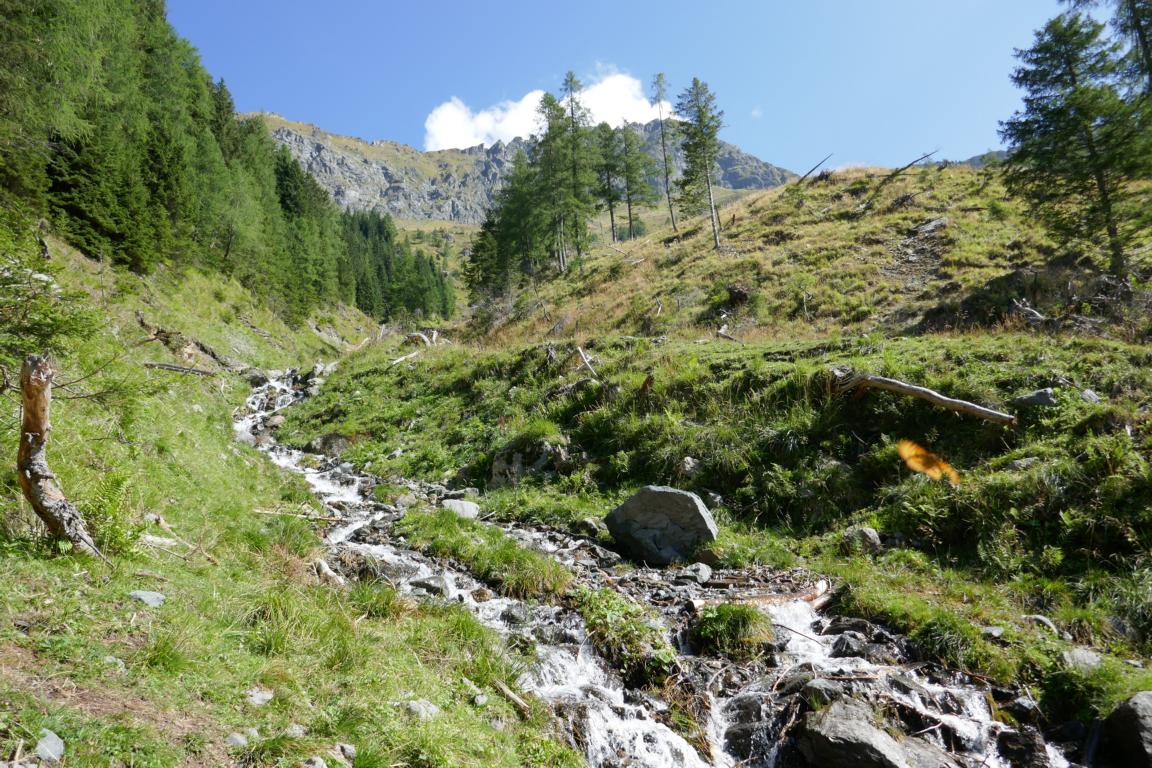
Due to the altitude vegetation is scarce, never the less mountain flowers blossom left and right of the path. In a rare encounter we met a Höllenotter, a not-too-poisonous snake.
Aufgrund der Höhe ist die Vegetation spärlich, dennoch blühen links und rechts des Weges Bergblumen. Eine seltene Begegnung mit einer nicht allzu giftigen Höllenotter.

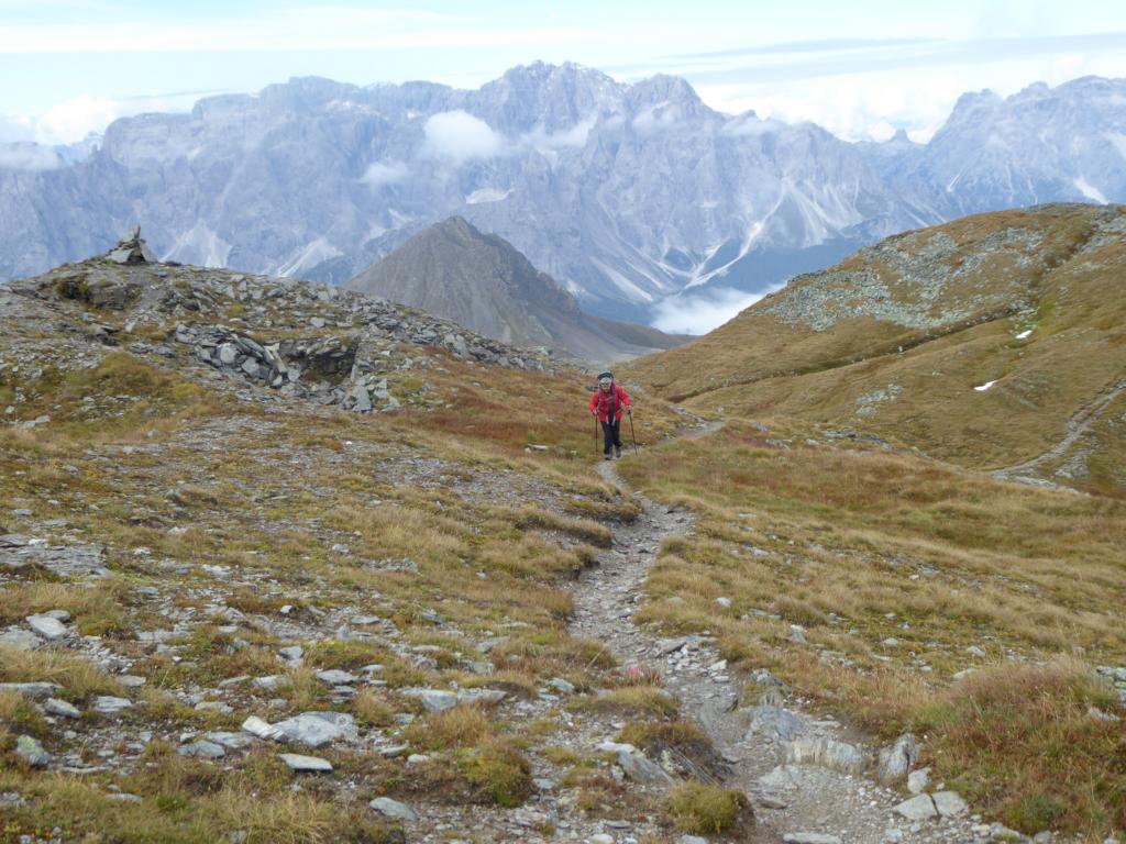
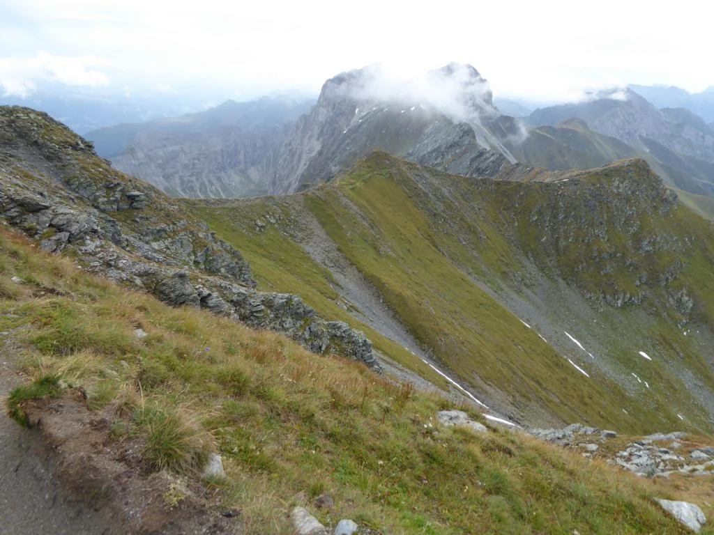
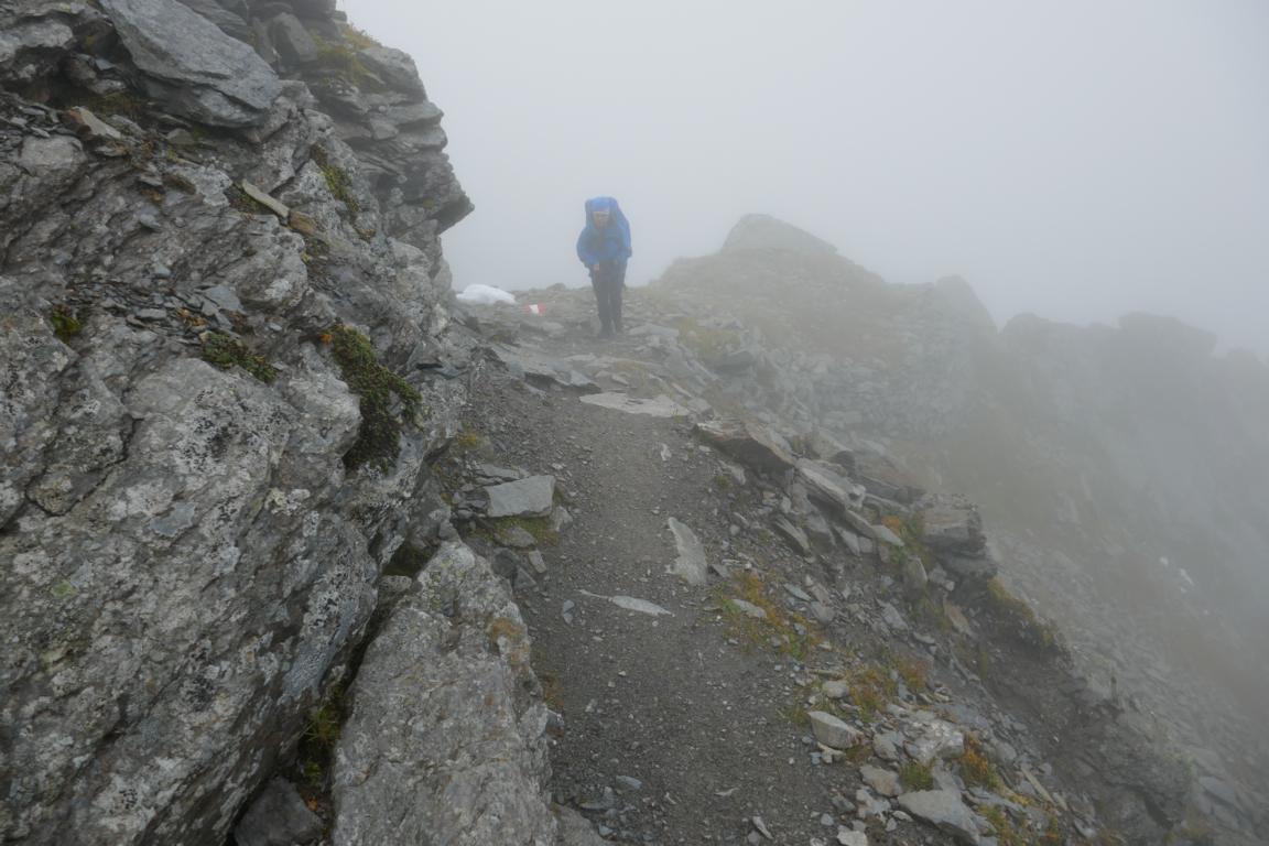
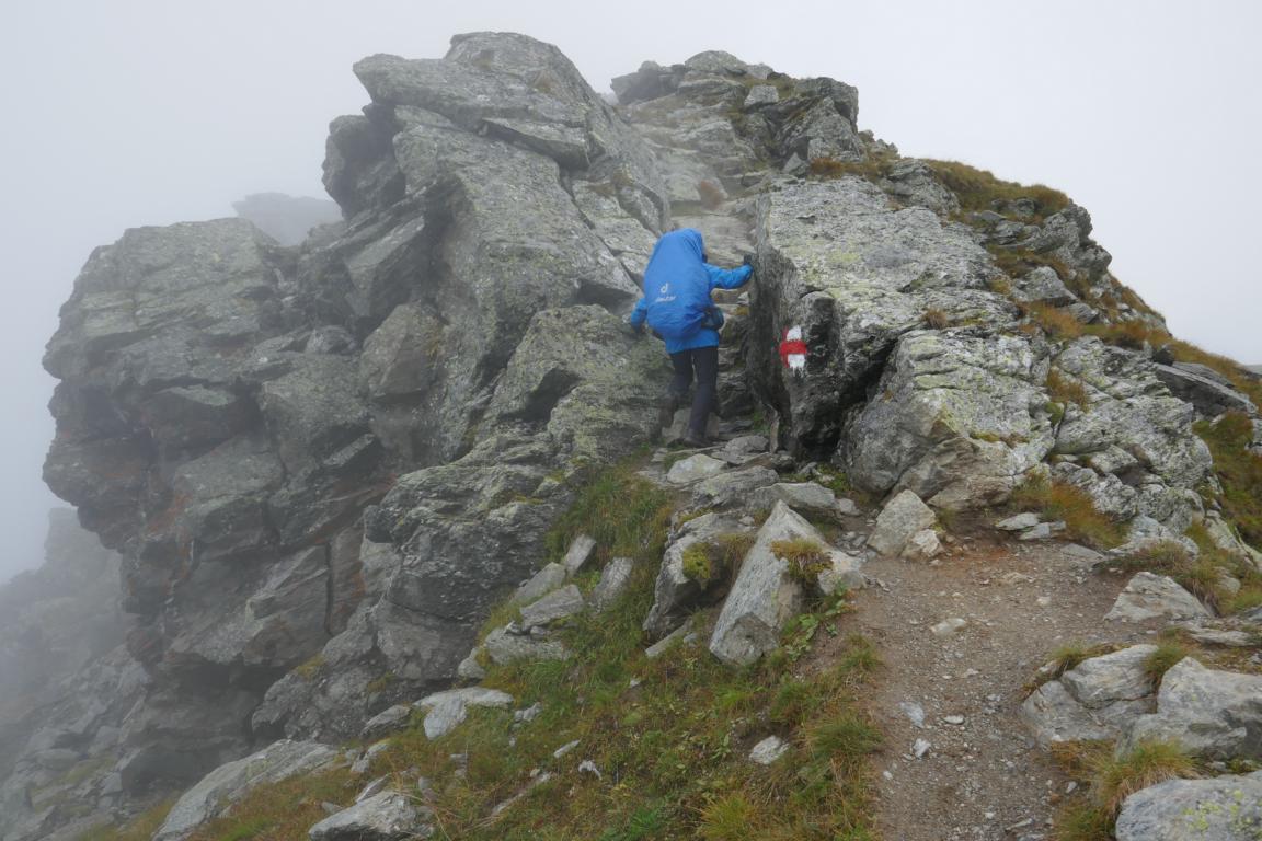
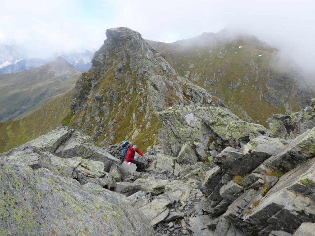
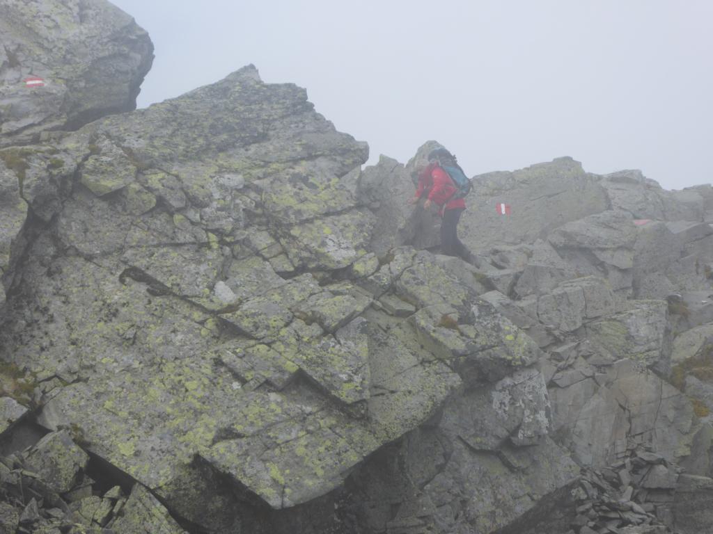
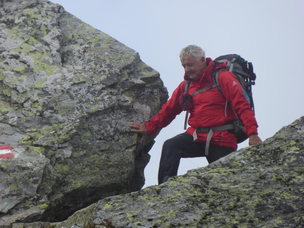
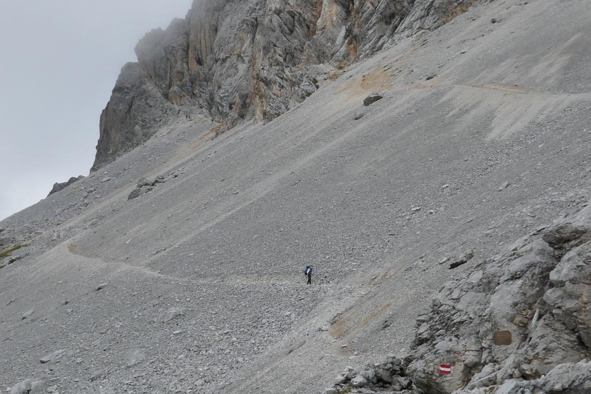
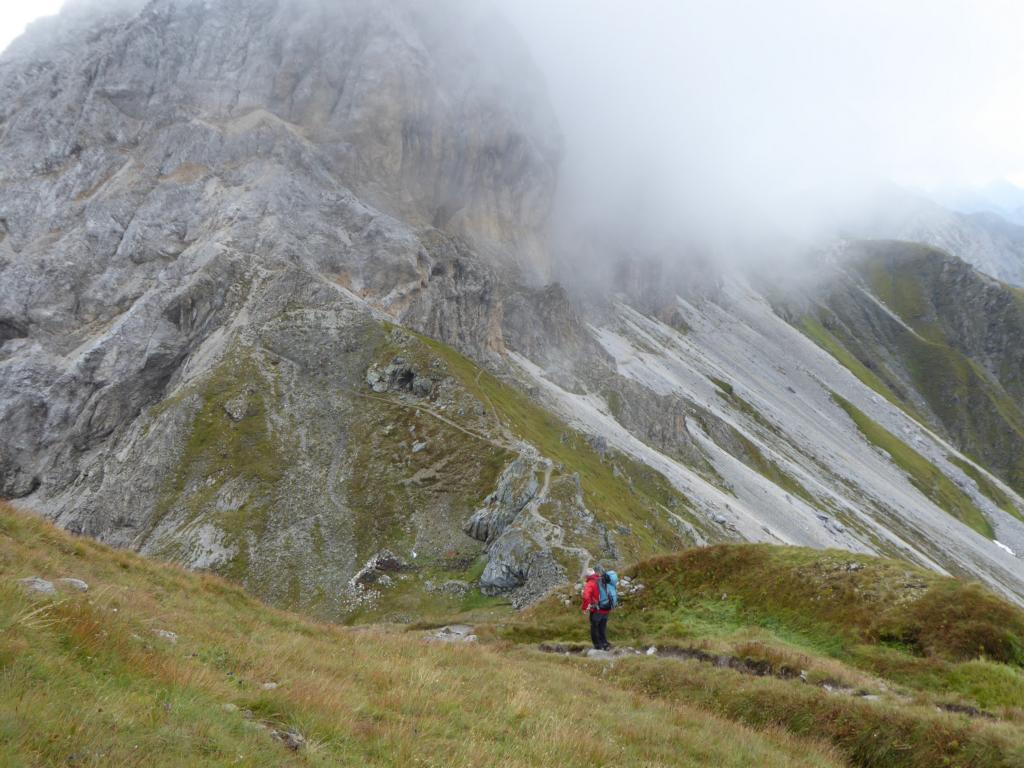
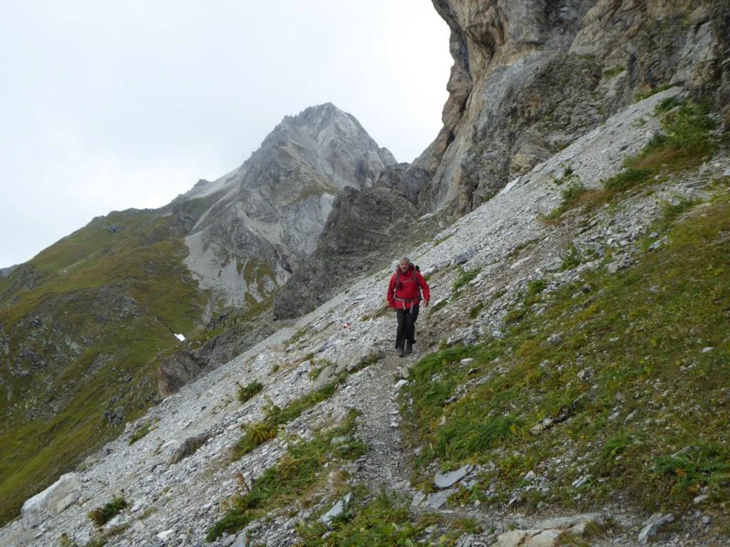
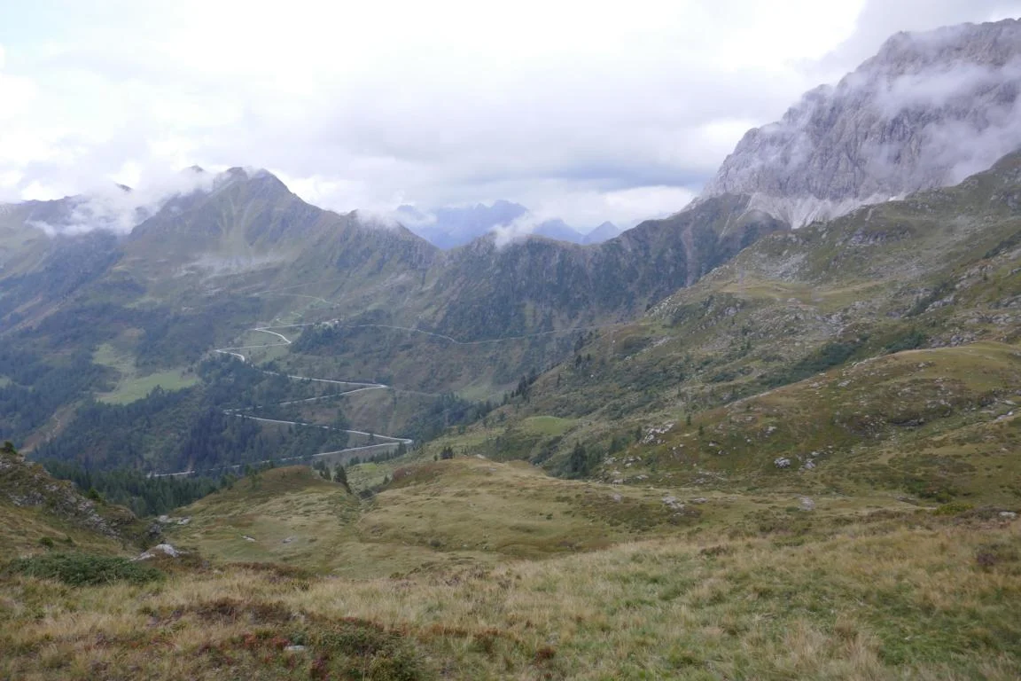
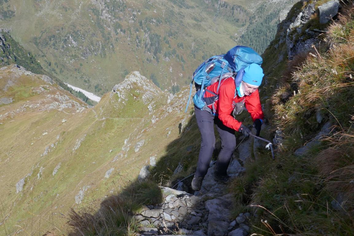
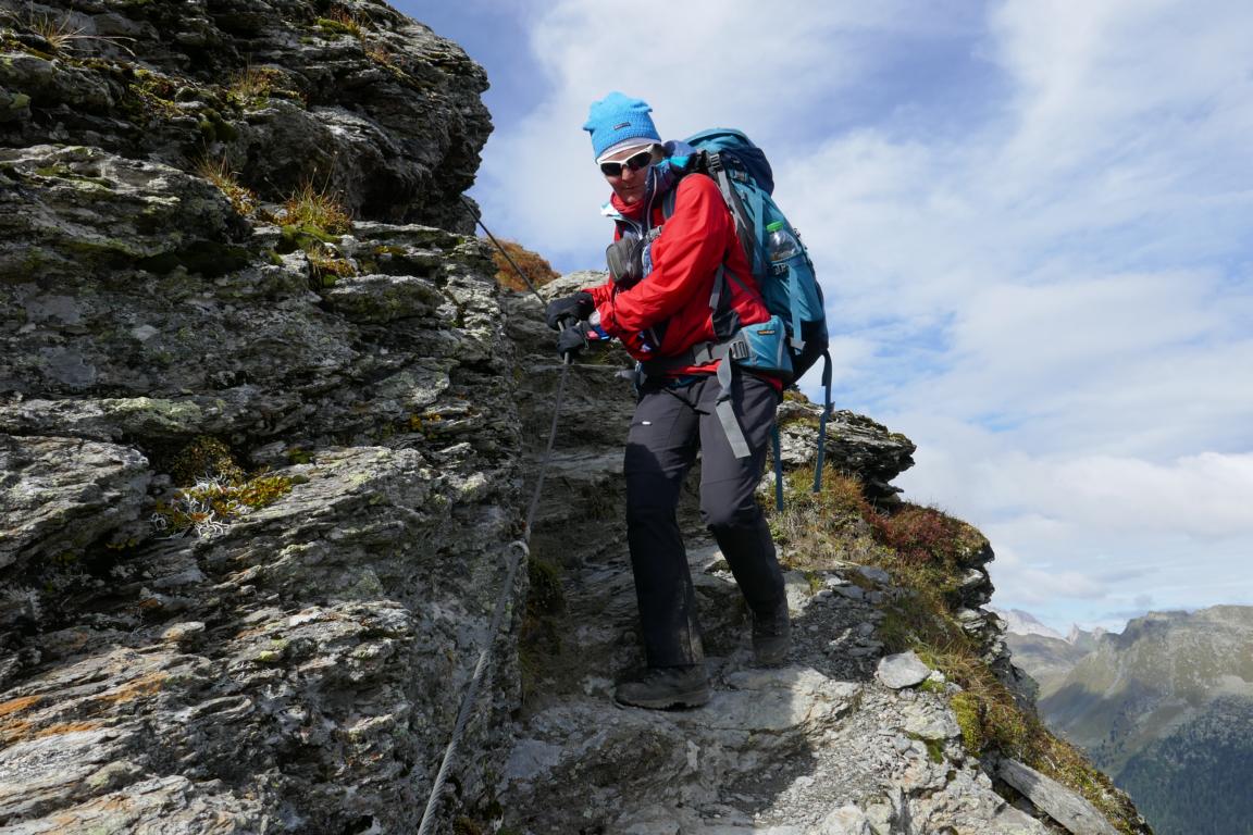
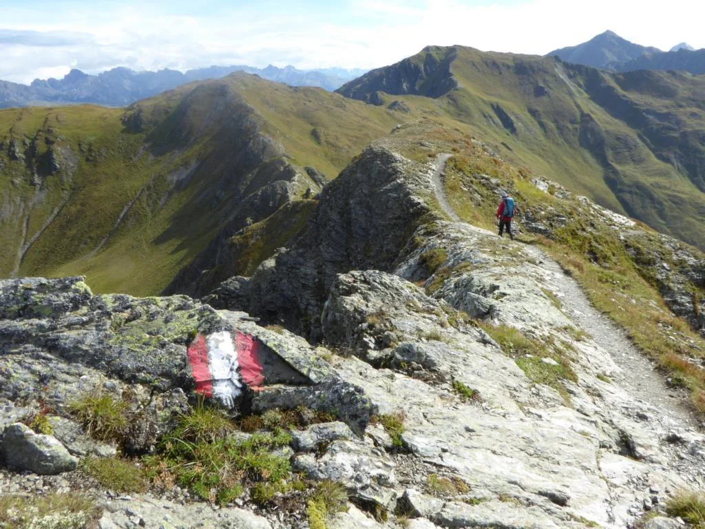
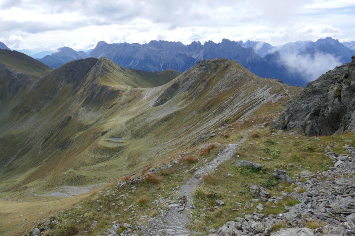
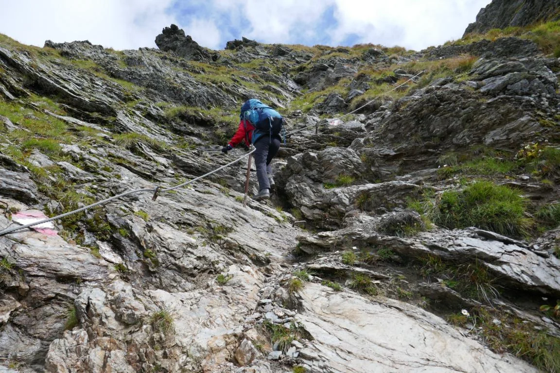
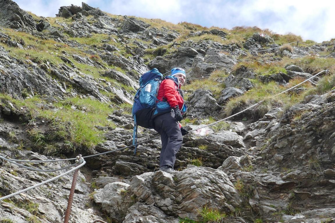
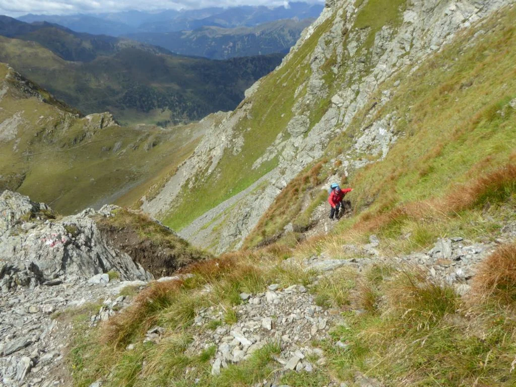
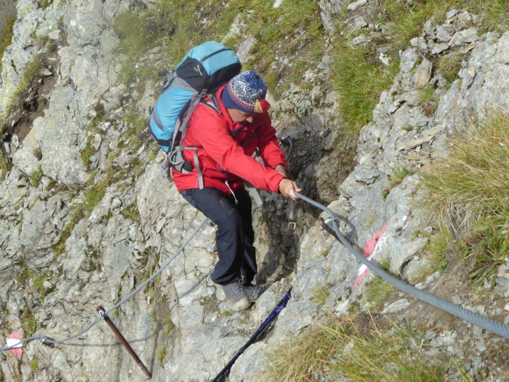
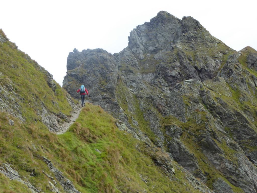
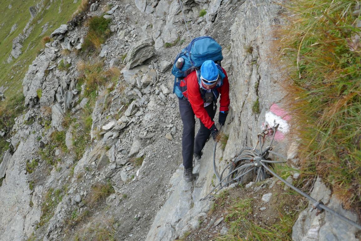
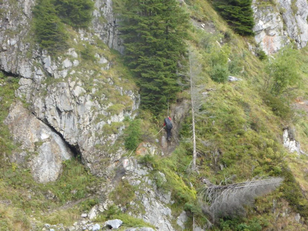
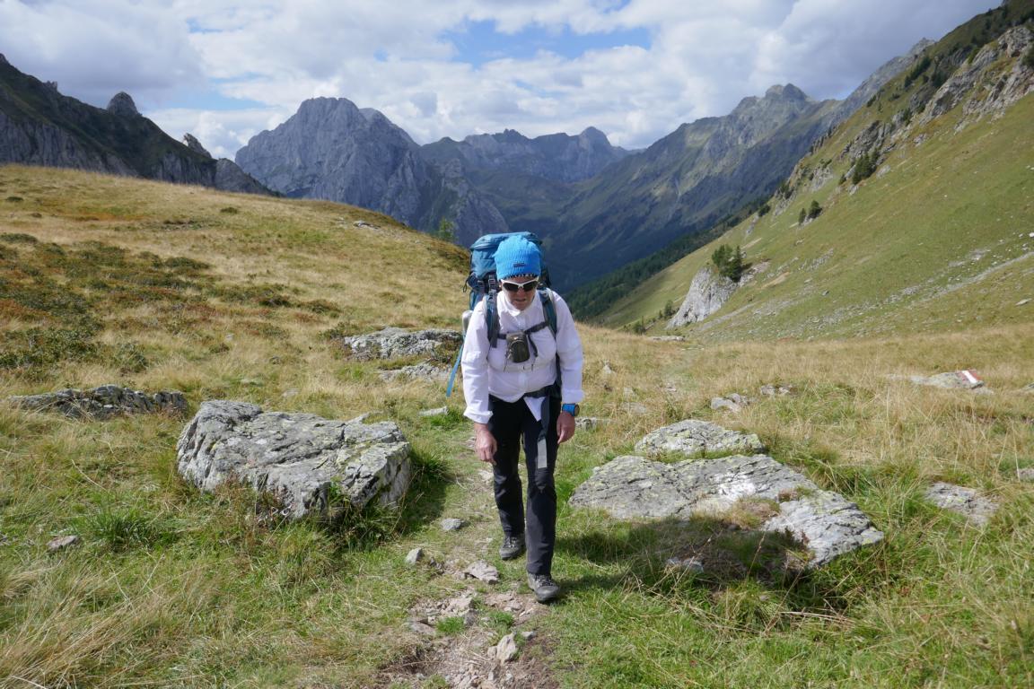
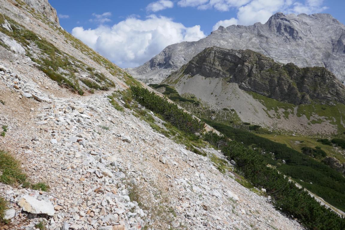
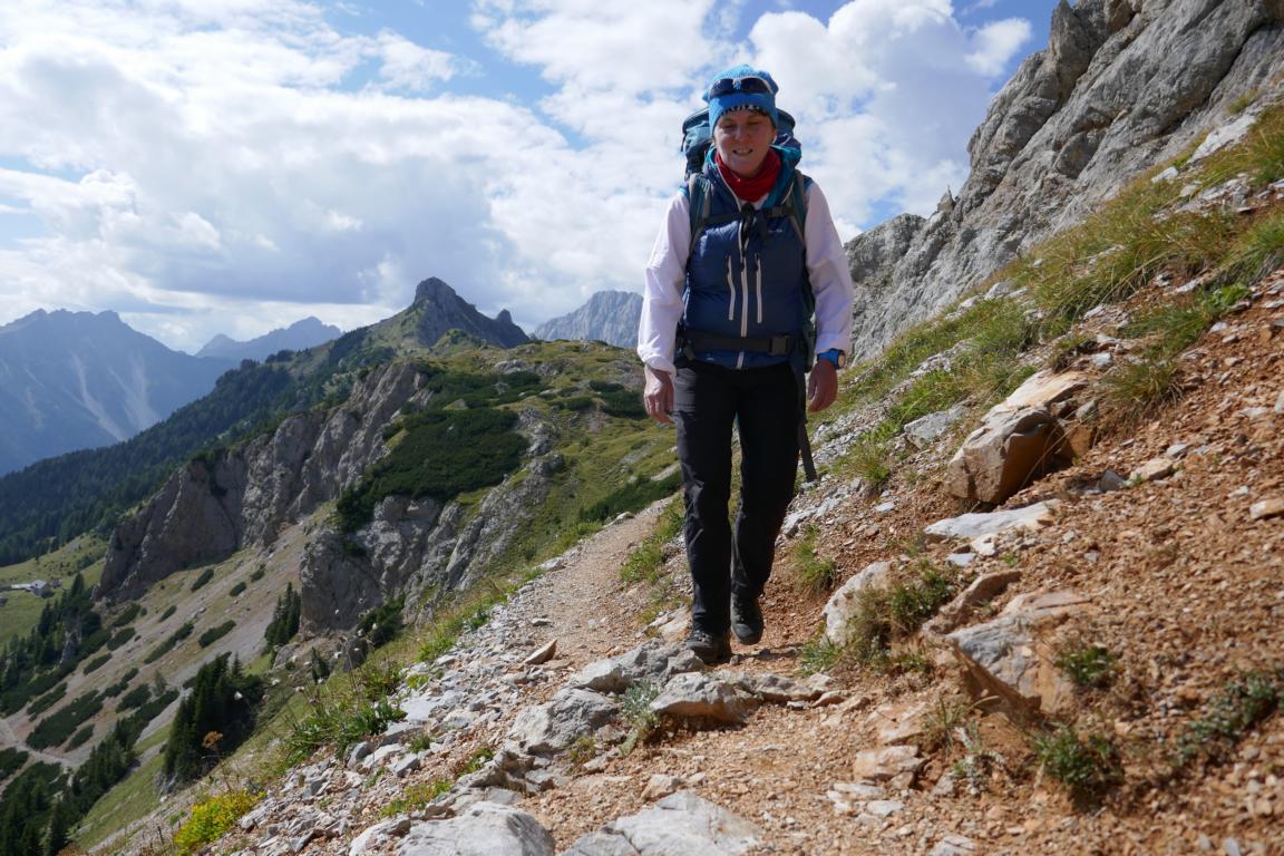
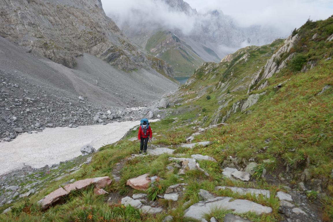
Day three and four were the toughest and most exhausting ones including some exposed sections which are secured with metal cables. For those who want to avoid these sections there is the option to take a less challenging route at the southern shoulder of the ridge.
Der dritte und vierte Tag waren die anstrengendsten mit einigen exponierten (seilversicherten) Stellen. Wer diese Abschnitte vermeiden will hat die Möglichkeit, auf einer etwas tiefer gelegenen Route am Südhang zu wandern.
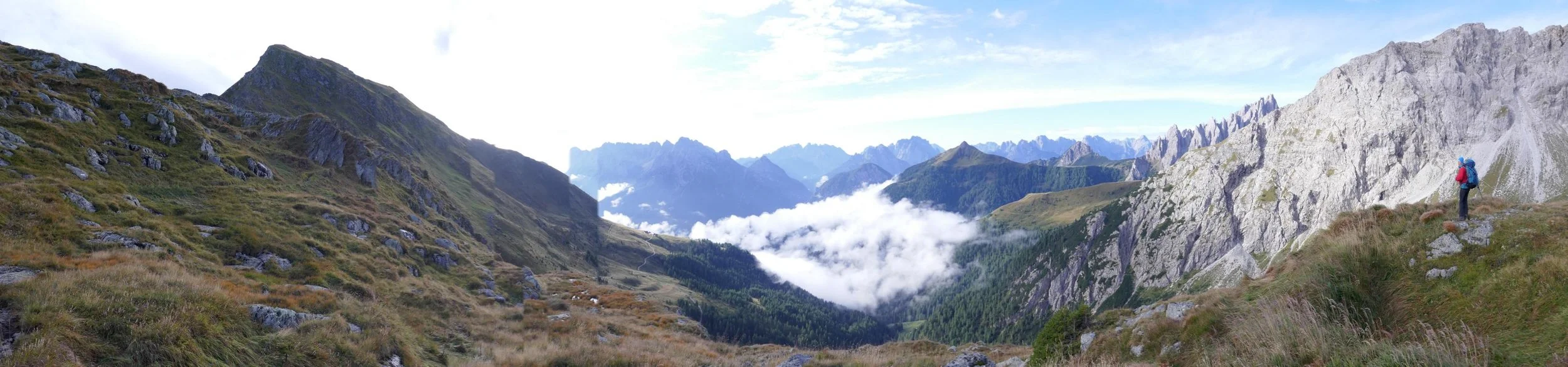
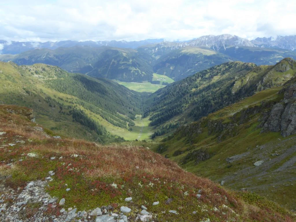
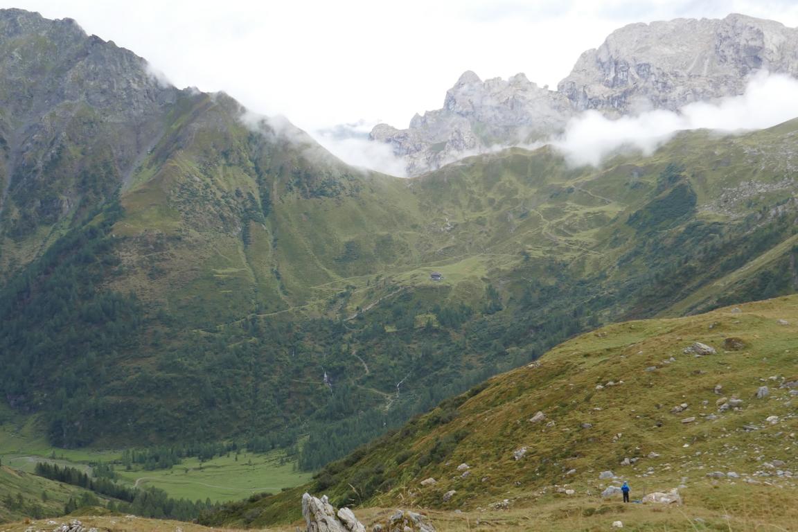
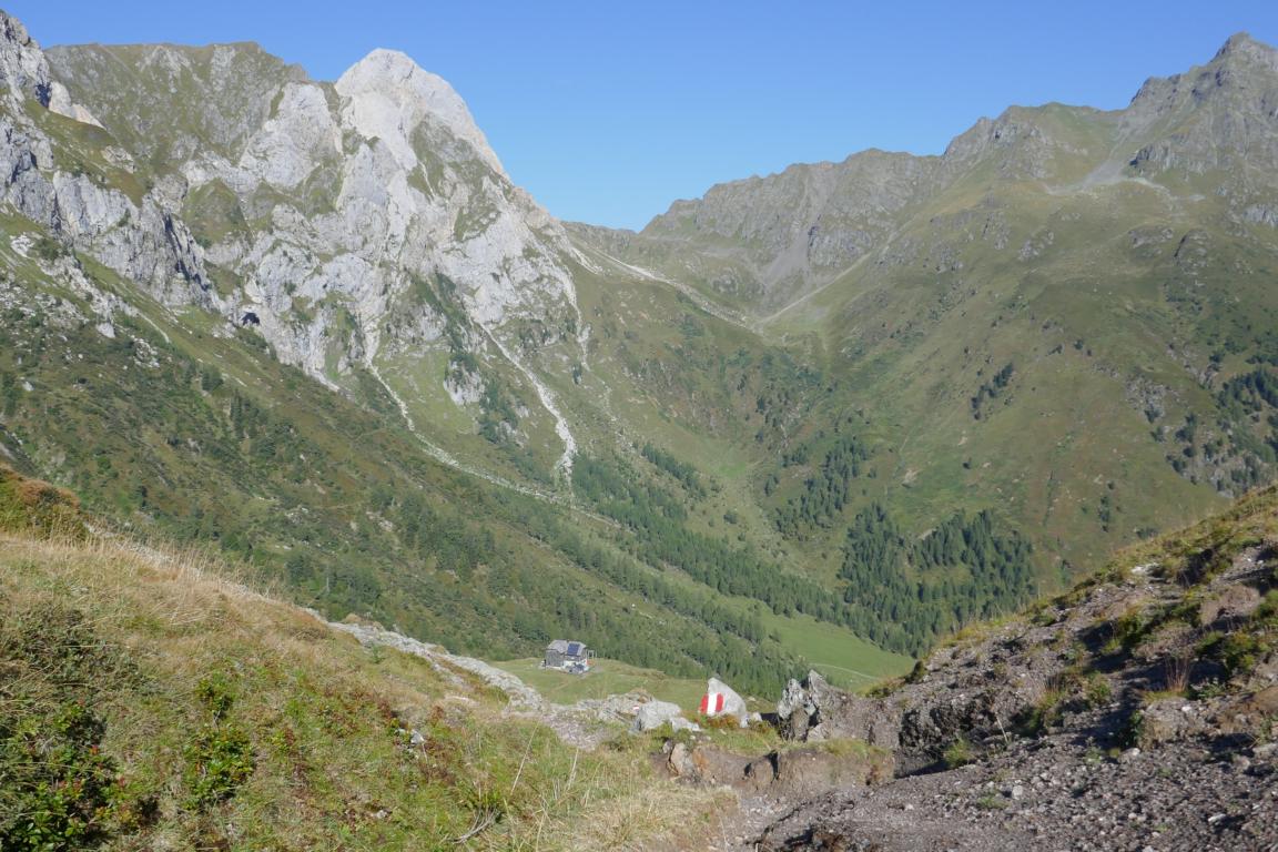
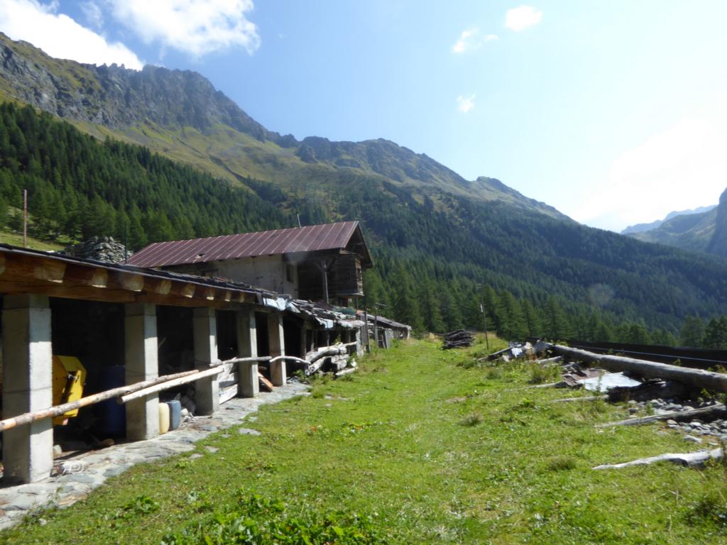
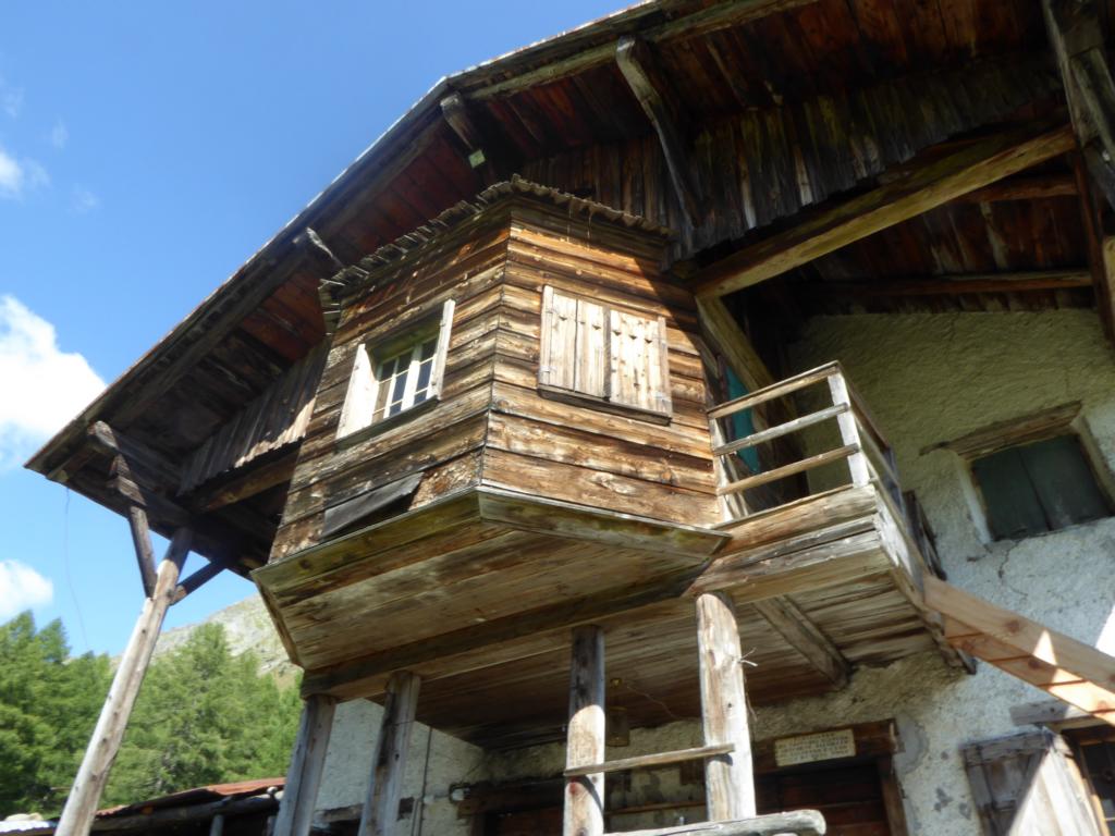
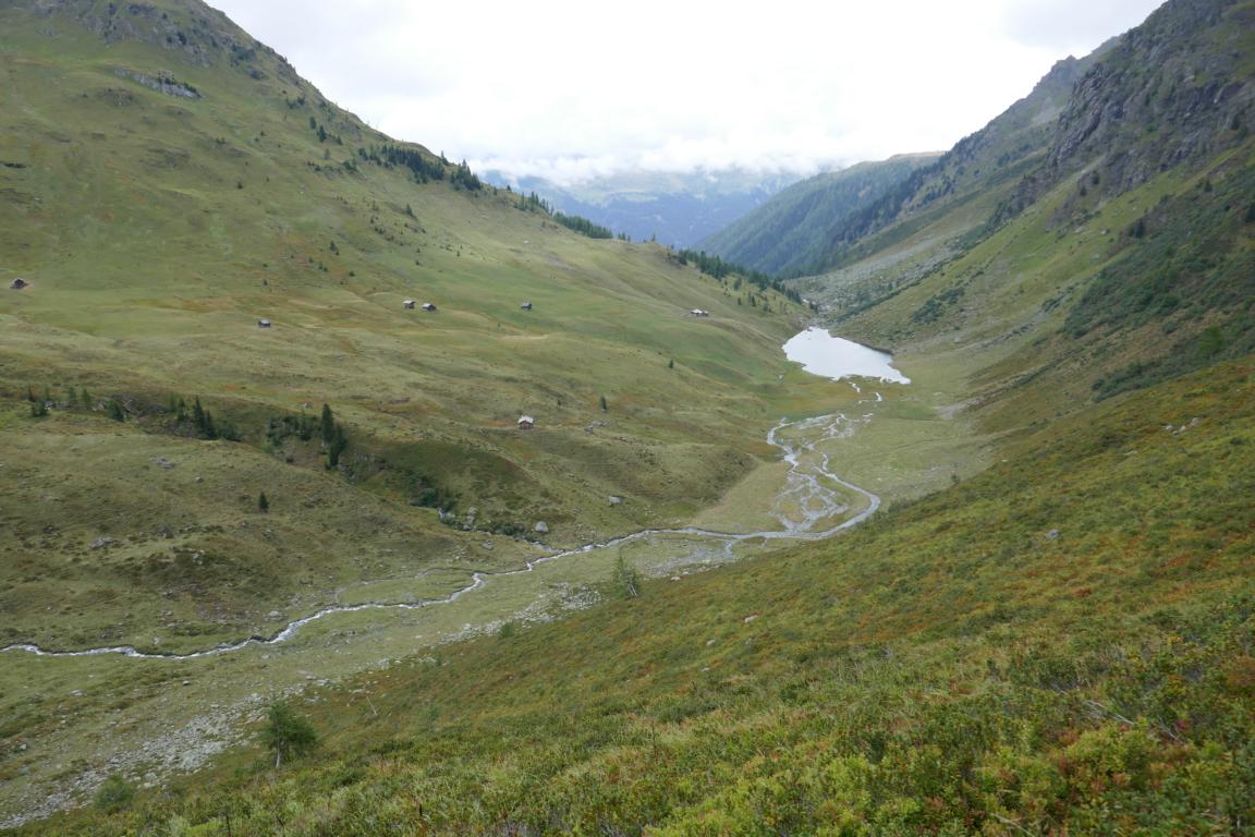
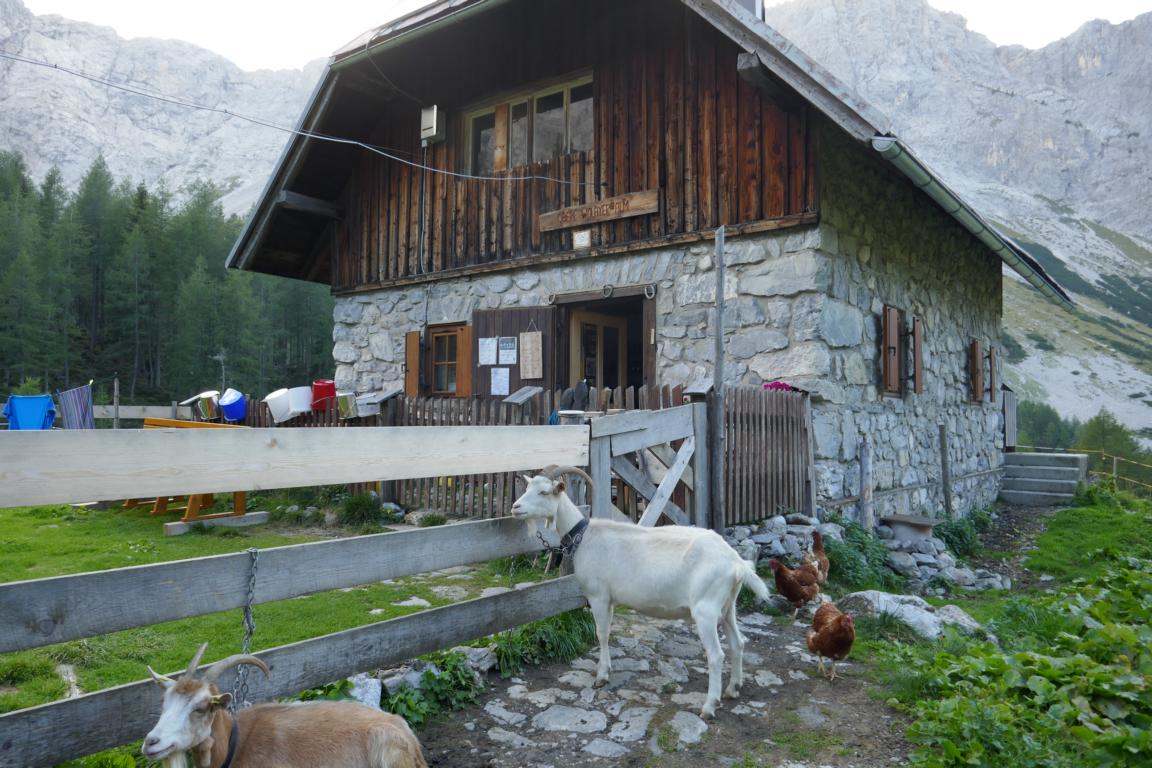
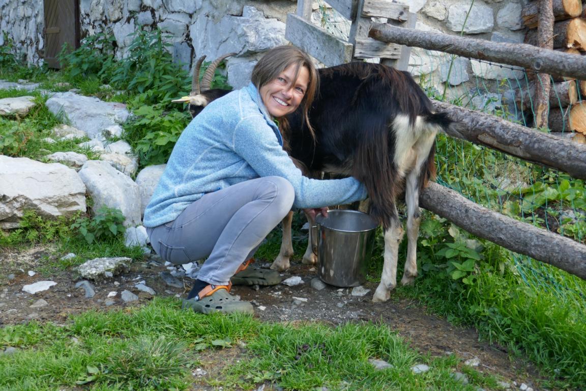
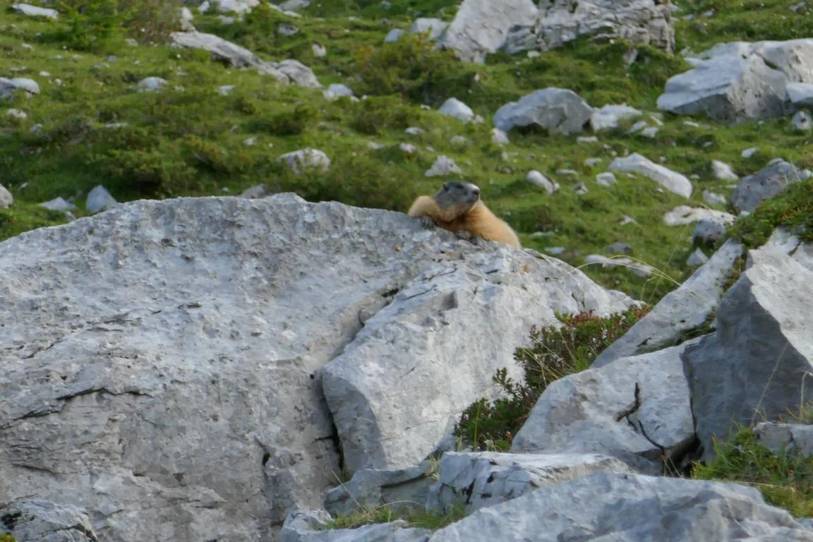
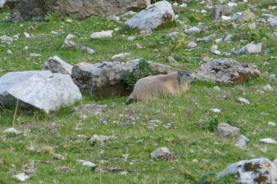
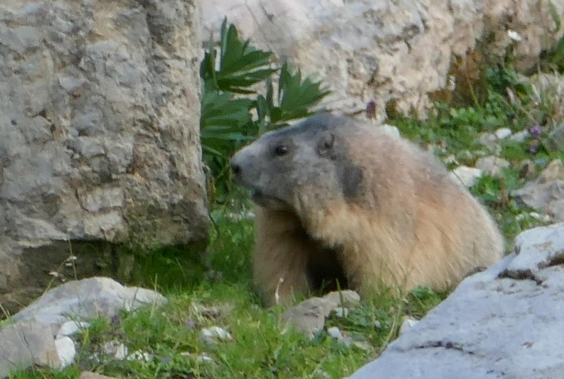
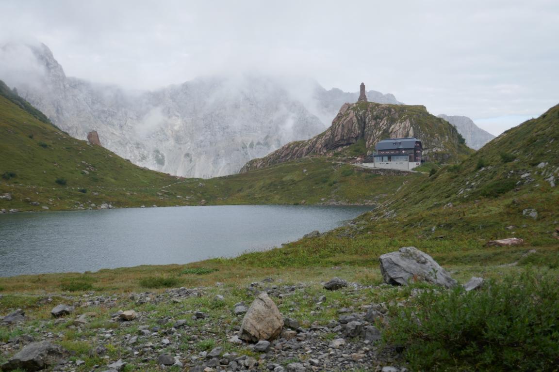
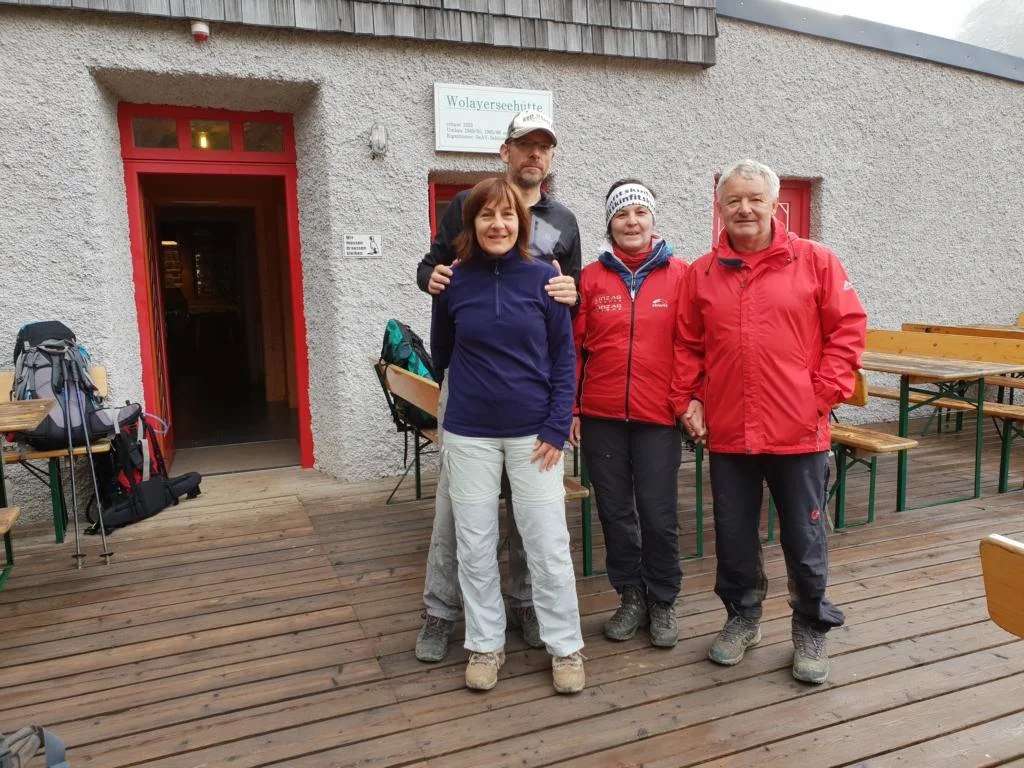
Shortly after sunset of the fourth day we reached the Wolaya-Alm and the beautifully located Wolaya- Chalet where we finally saw some marmots who were not shy at all. Day five was a descend down to the Valentins-Alm (near the Plöcken-Pass) from where we returned by taxi to Sillian.
Kurz nach Sonnenuntergang erreichten wir am vierten Tag die Wolaya-Alm und die wunderschön gelegene Wolaya-Hütte wo wir zahlreiche gar nicht scheue Murmeltiere beobachten konnten. Am fünften Tag stiegen wir zur Valentins-Alm (nahe dem Plöcken-Pass) ab, von wo wir mit dem Taxi nach Sillian zurückfuhren.
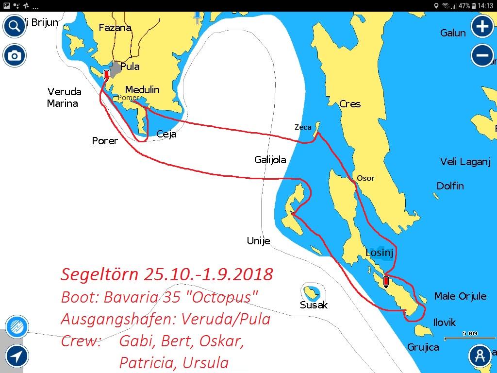
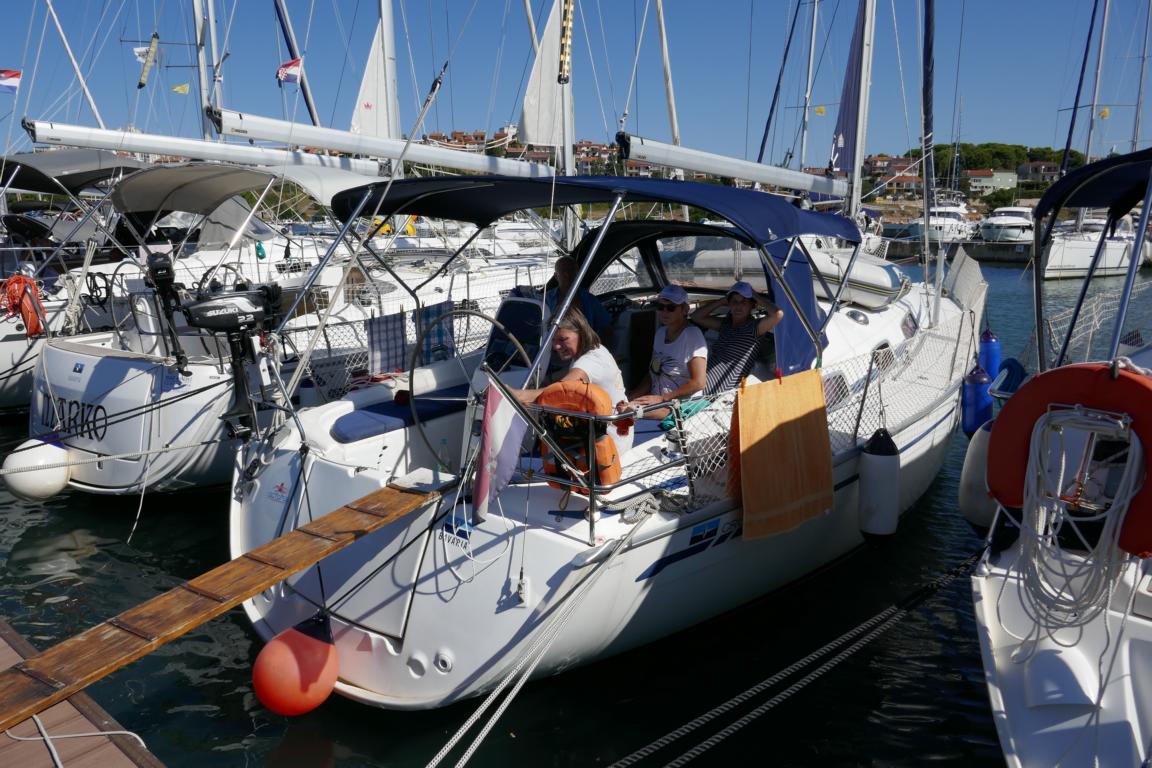
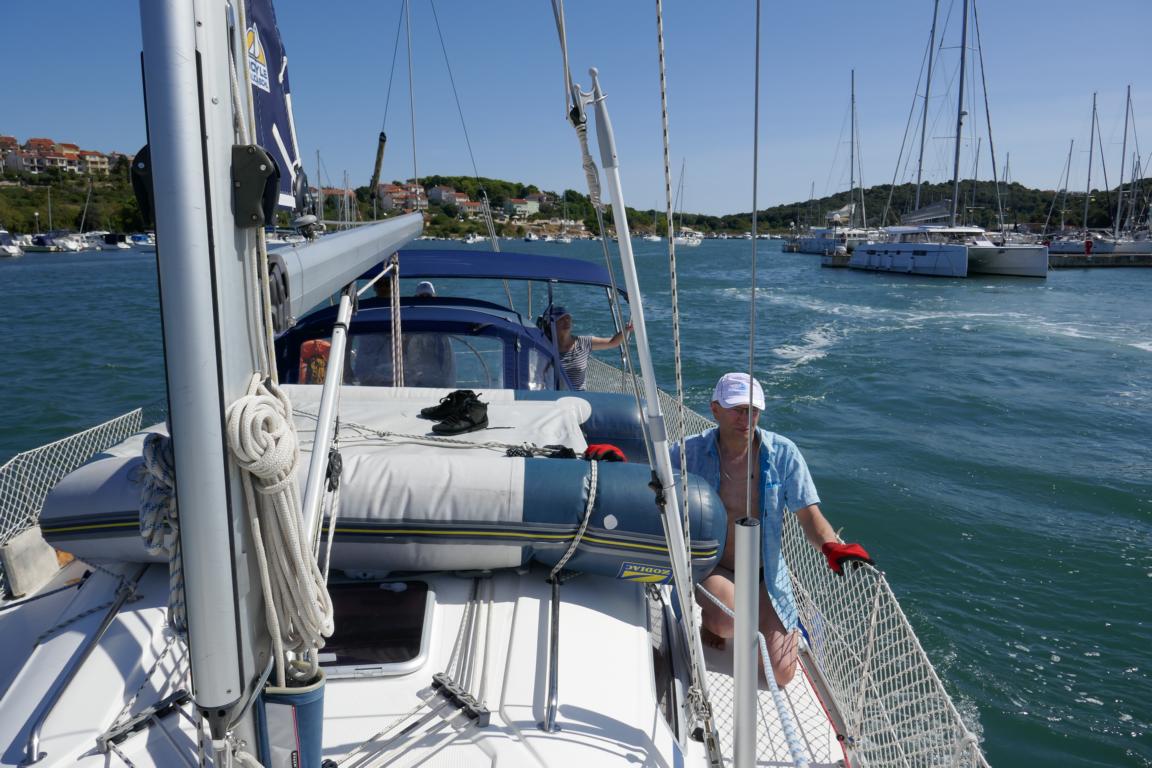
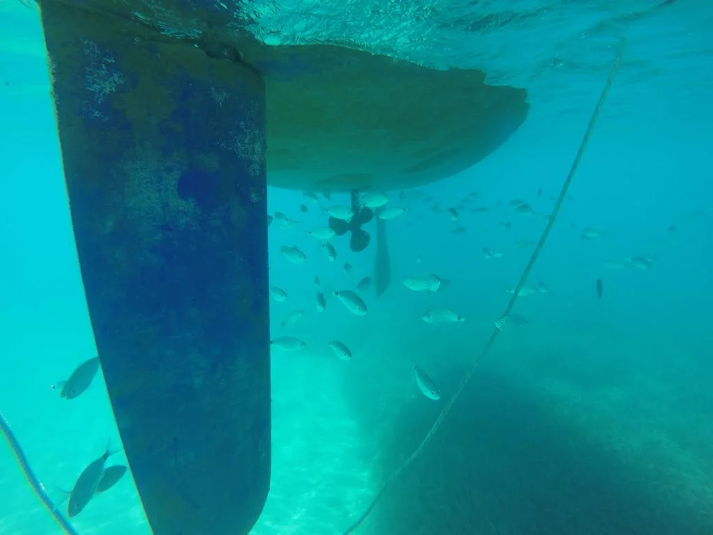
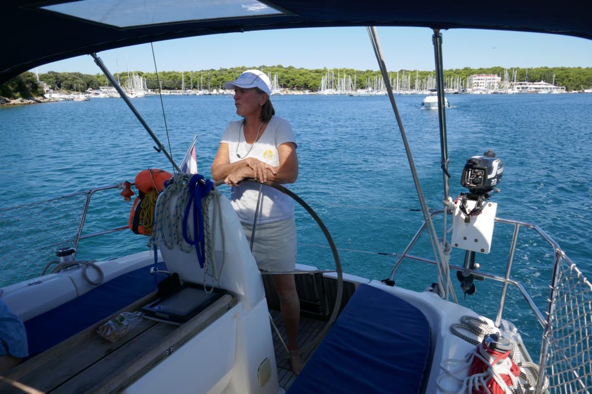
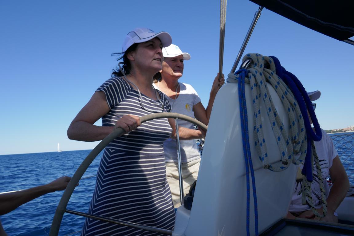
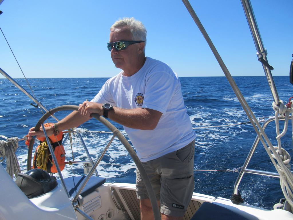
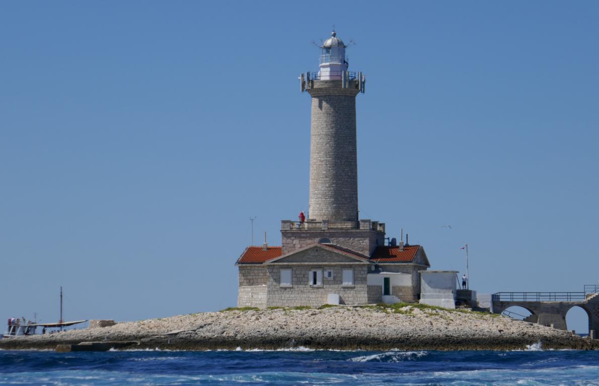
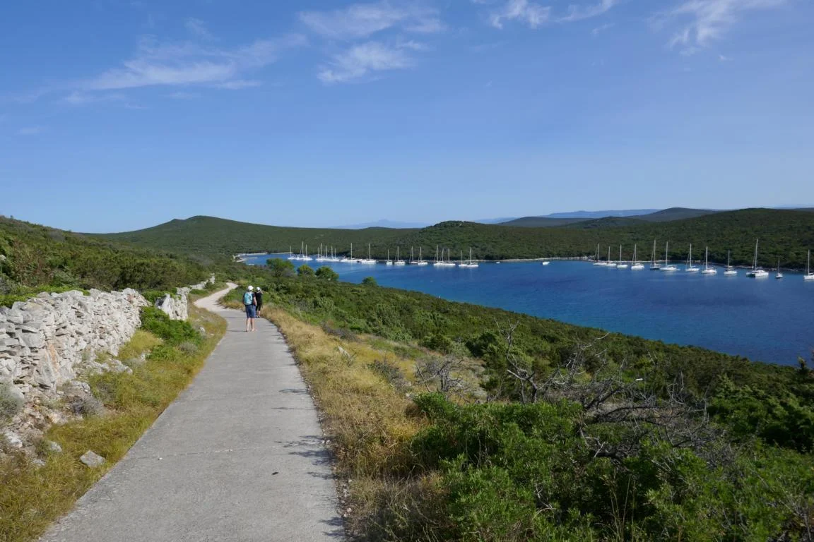
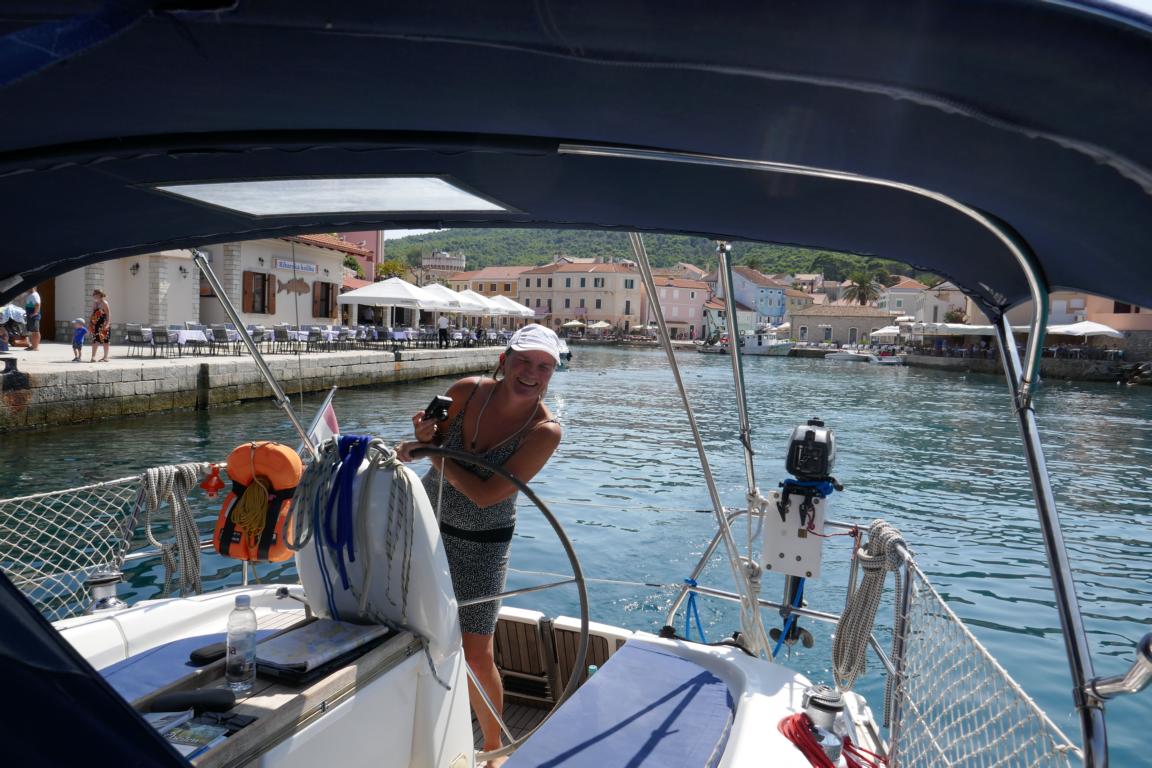
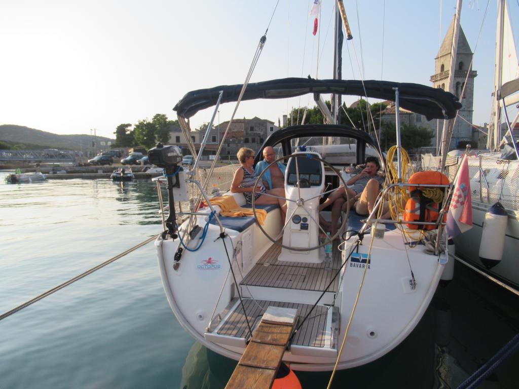
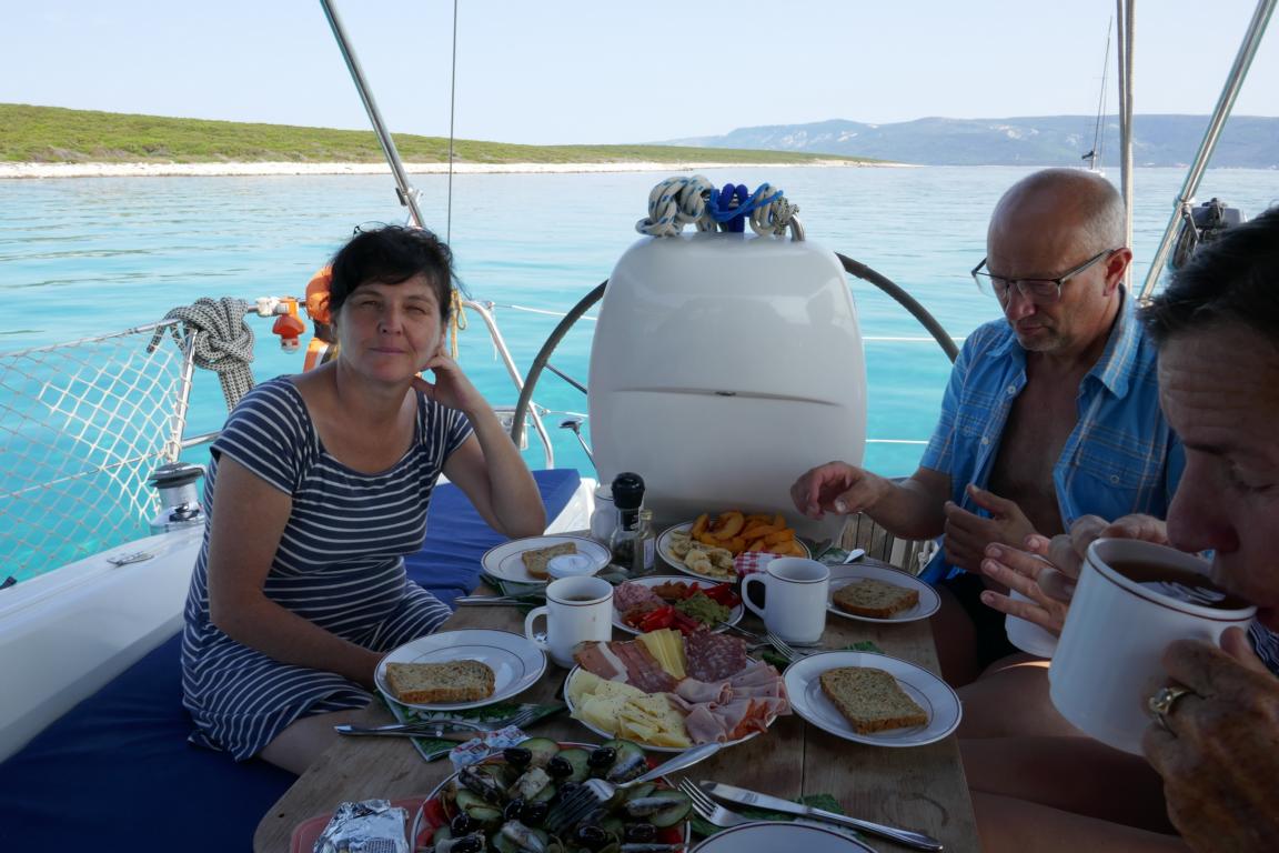
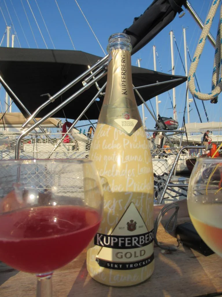
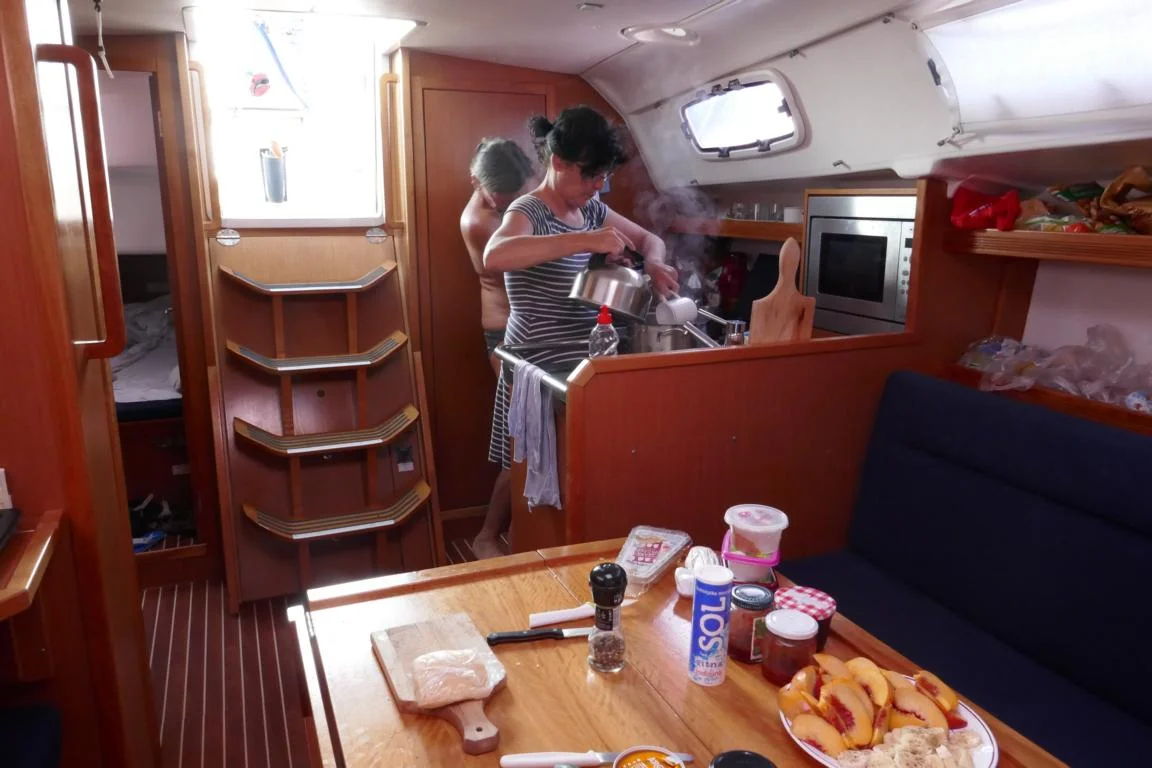
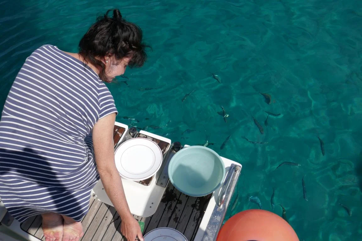
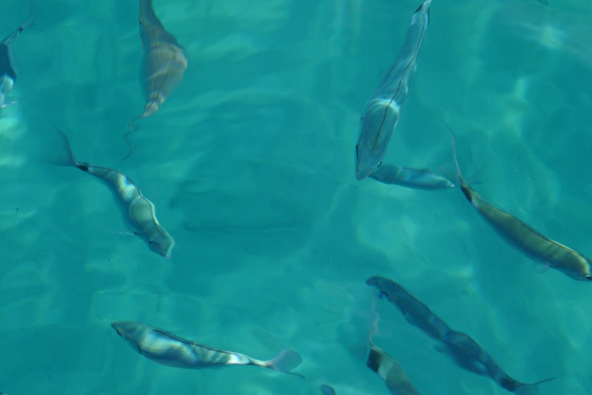
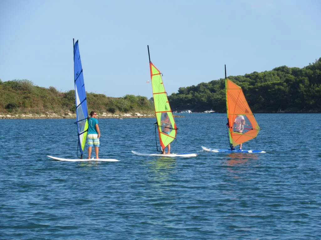
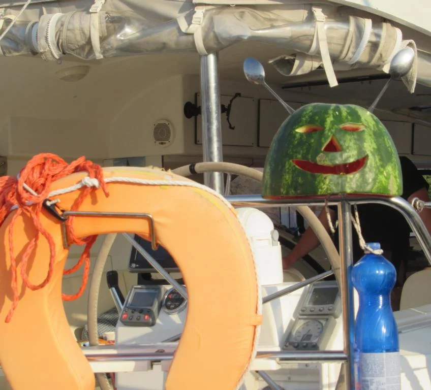
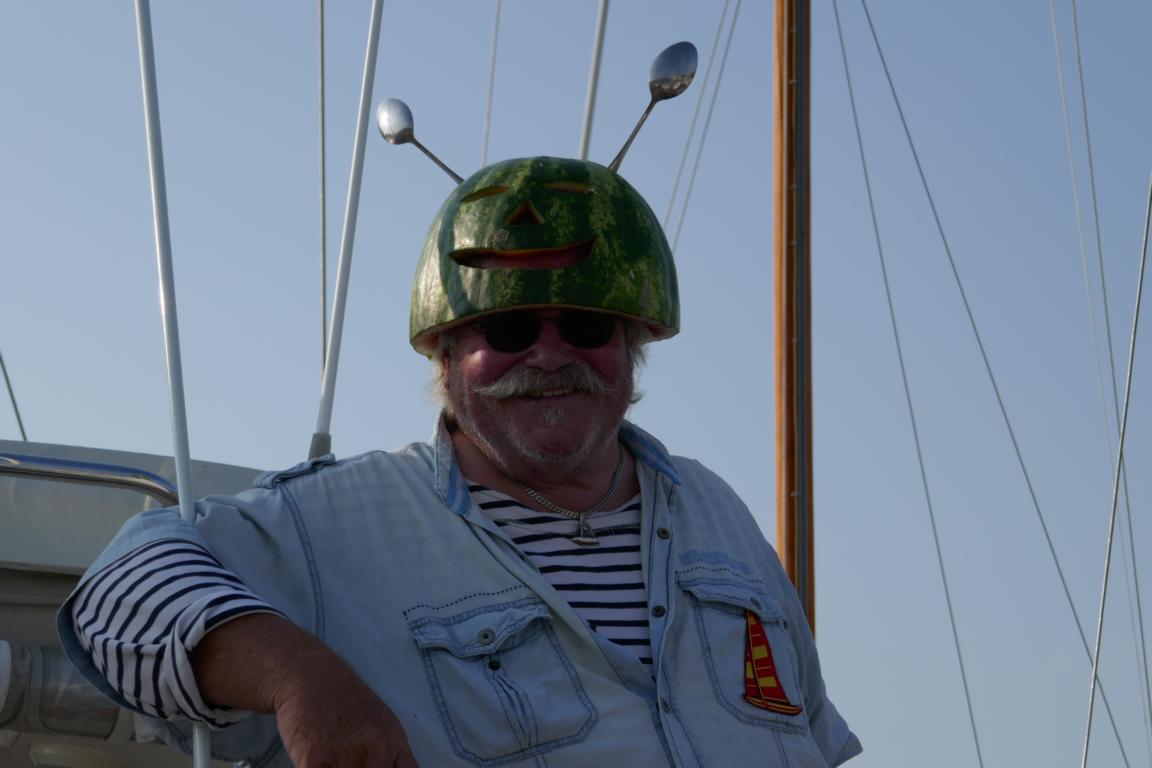
End of August we joined a group of friends for a sailing trip along the Croatian coast. Istria and Dalmatia are considered one of the most scenic coastlines in Europe. Gabi, our skipper, made us participating in the maneuvering of the 35-feet boat. Thank you Gabi that we can use some of your pictures.
Ende August unternahmen wir mit einigen Freunden eine Segeltour entlang der kroatischen Küste. Istrien und Dalmatien gehören zu den landschaftlich schönsten Küsten Europas. Gabi, unsere Skipperin, ließ uns immer wieder das Steuern des 35-Fuß Bootes übernehmen.
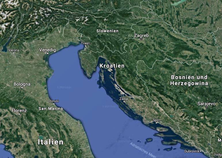
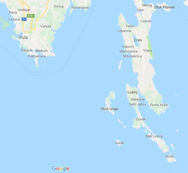
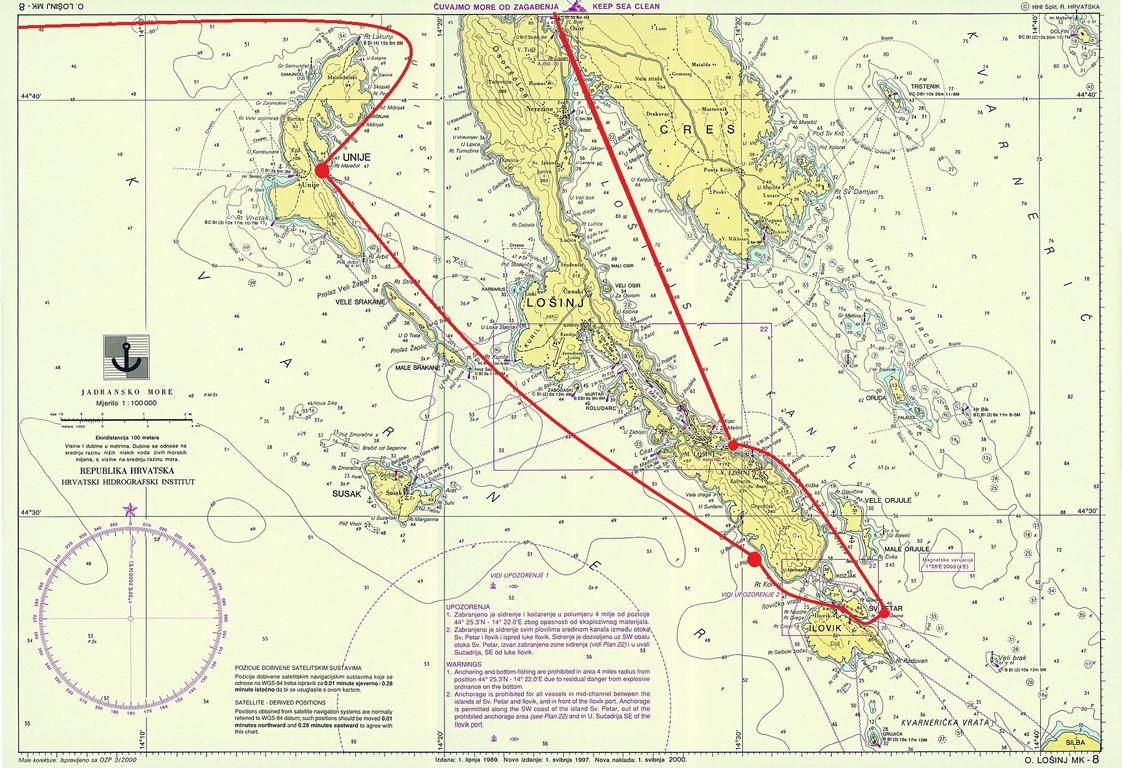
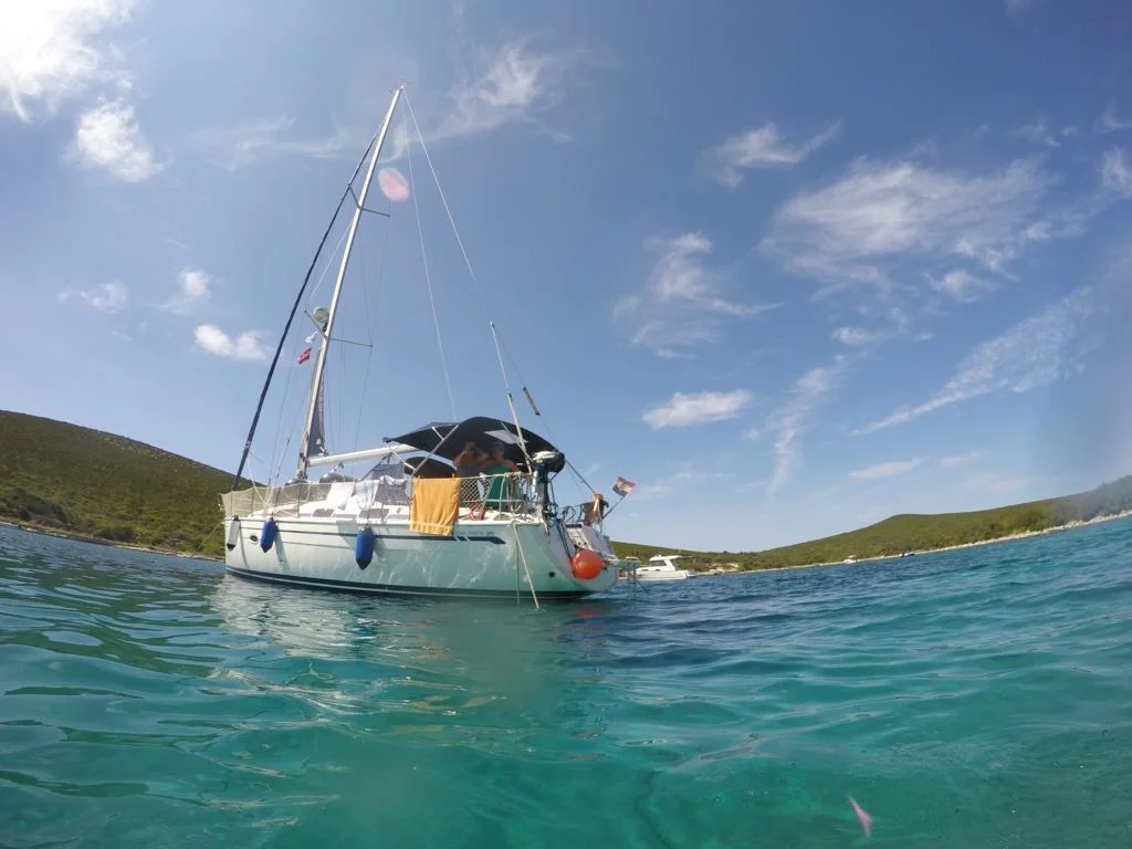
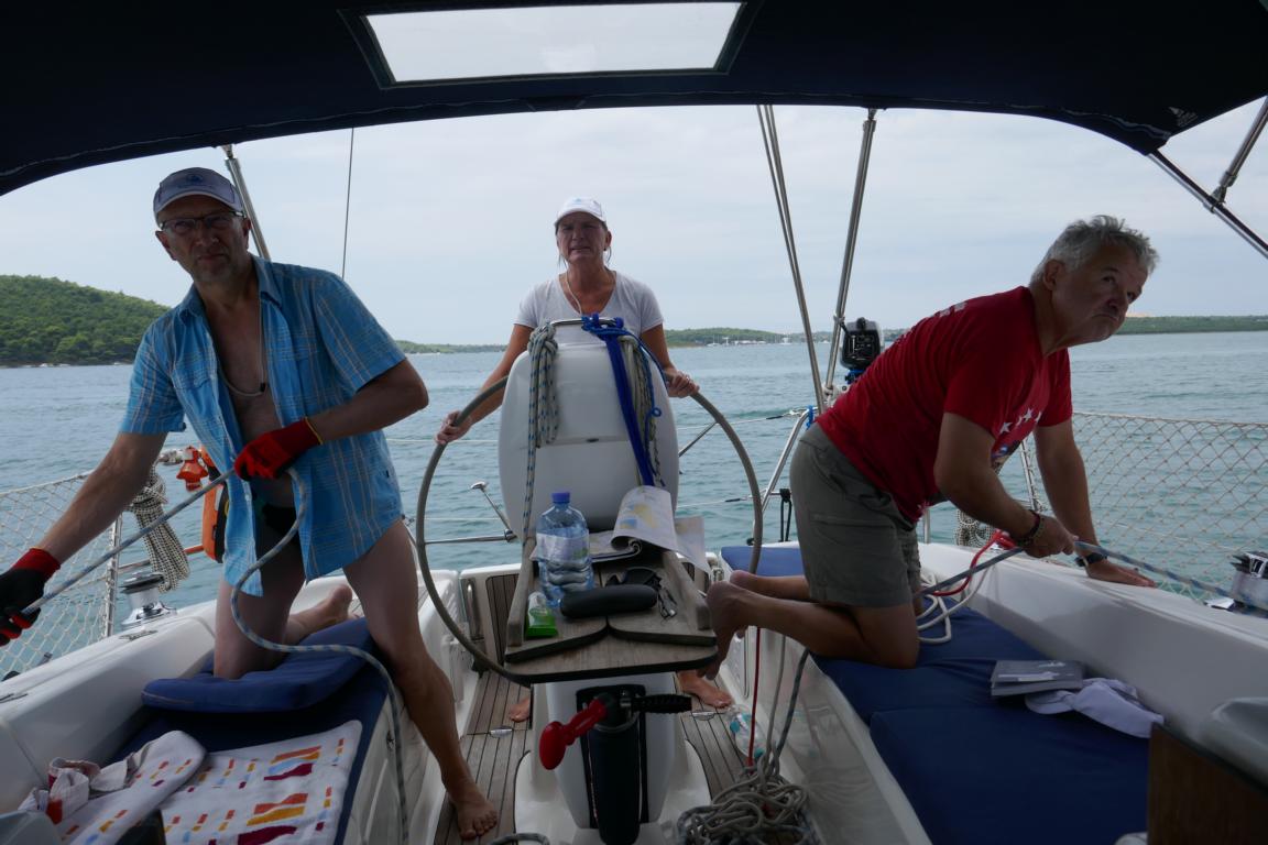

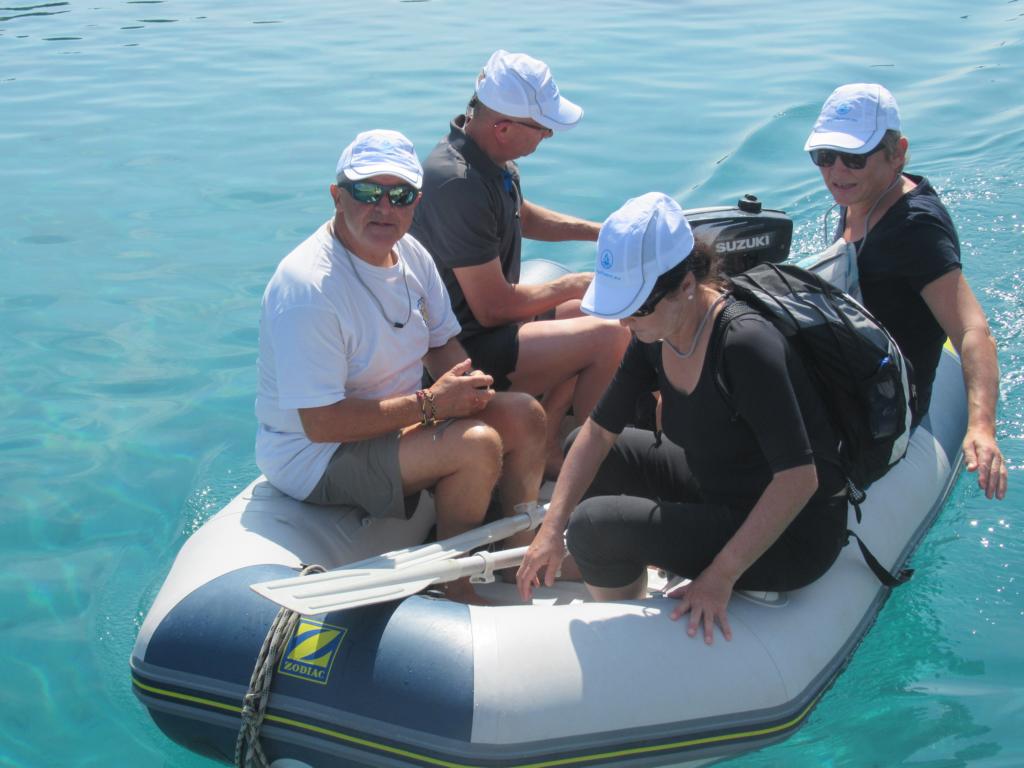
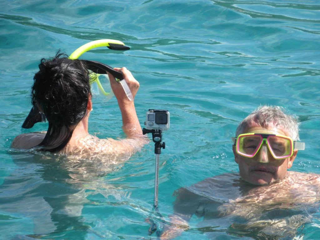
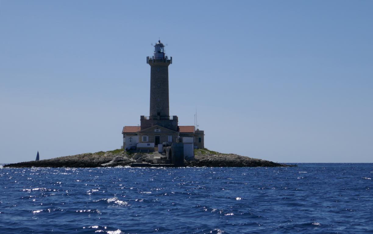
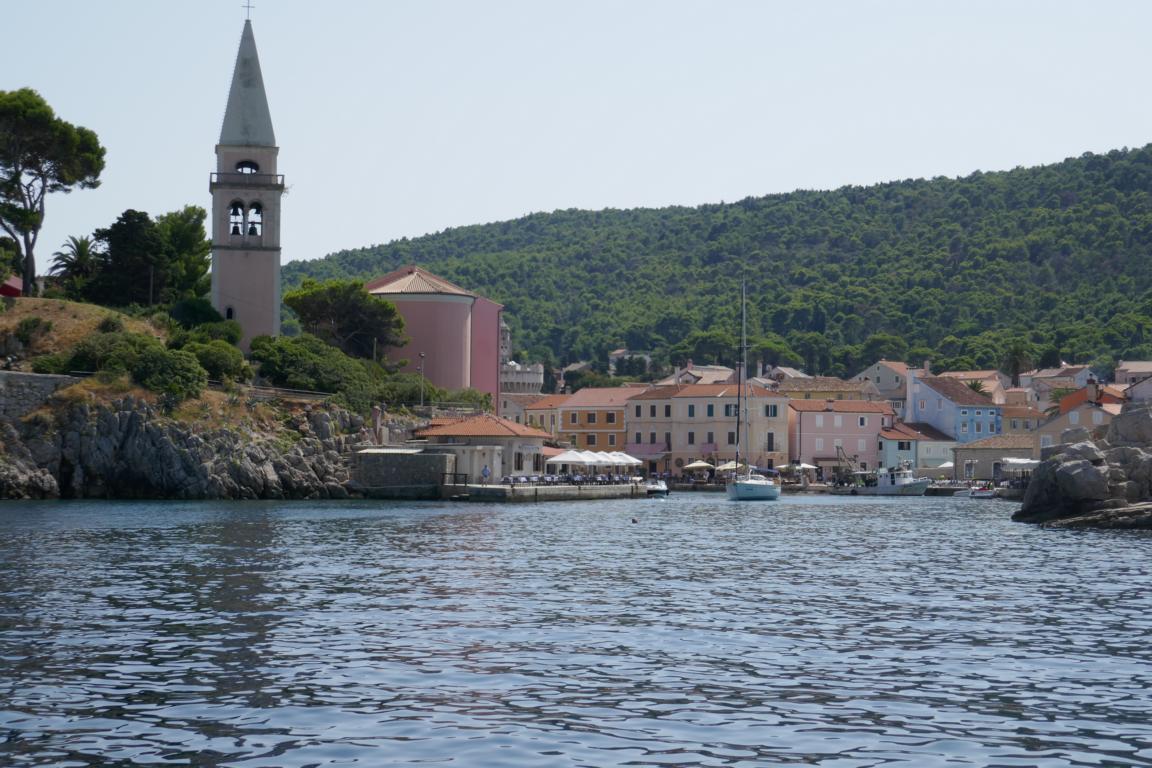
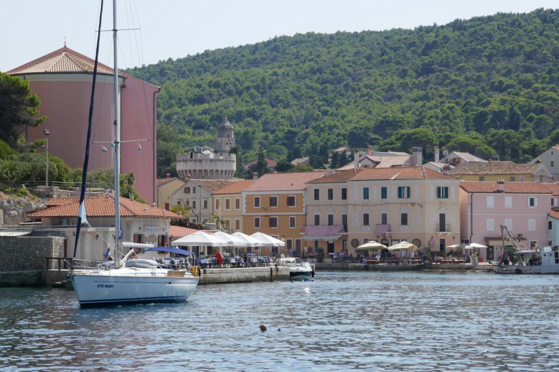
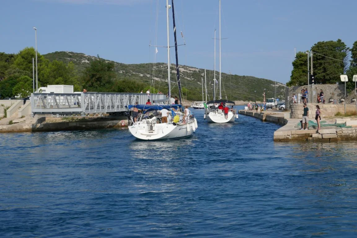
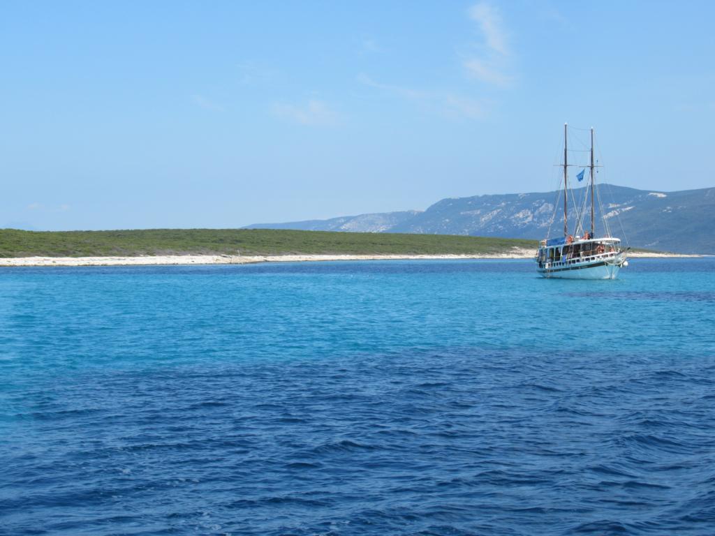
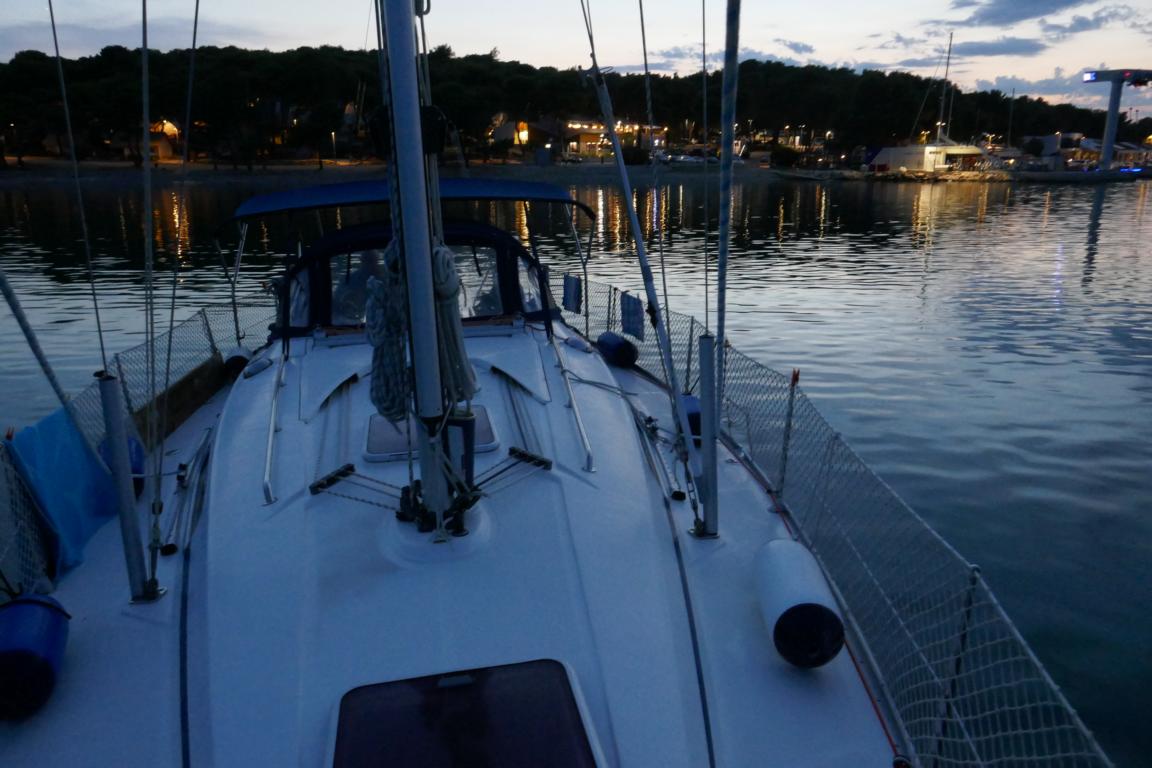
The Dalmatian coast is particular famous for its many natural harbors and traditional villages. For this reason it also is one of the prime holiday destinations for Austrians, Germans and Italians from May to October.
Die dalmatinische Küste ist besonders für ihre vielen natürlichen Häfen und traditionellen Ortschaften berühmt. Aus diesem Grund ist Dalmatien im Sommer das Haupturlaubsziel für viele Deutsche, Italiener und Österreich.

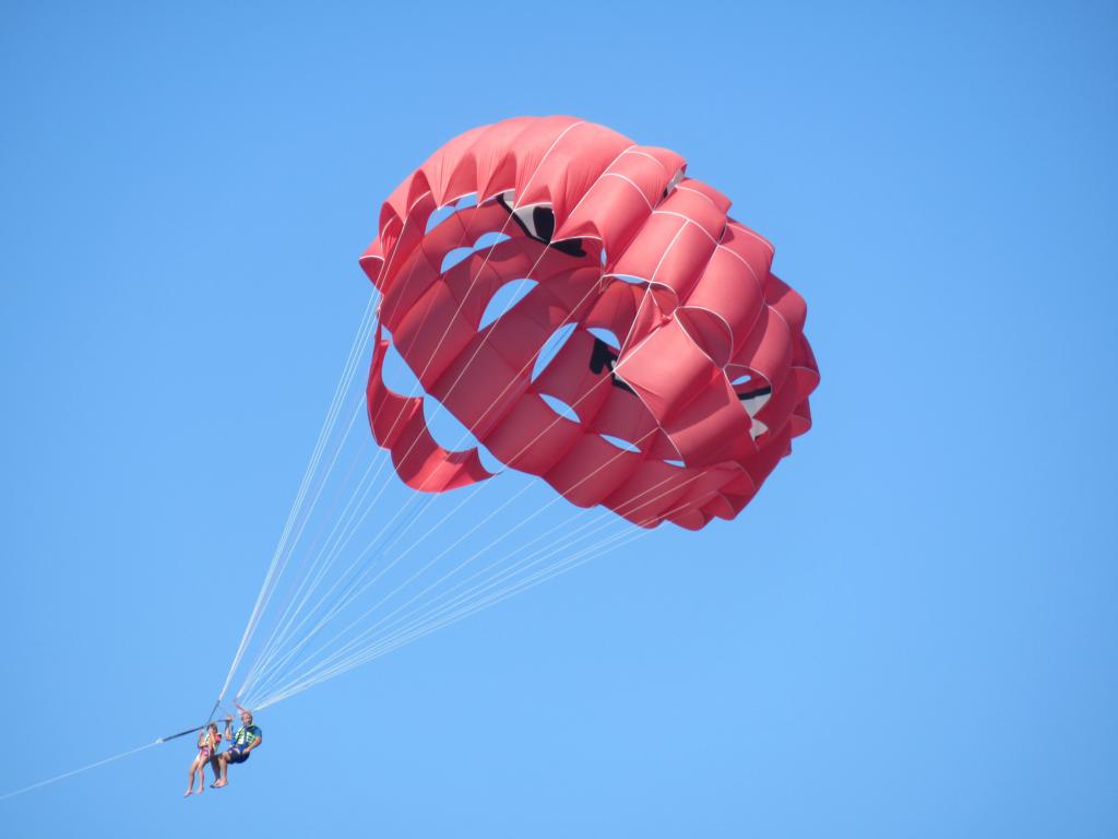

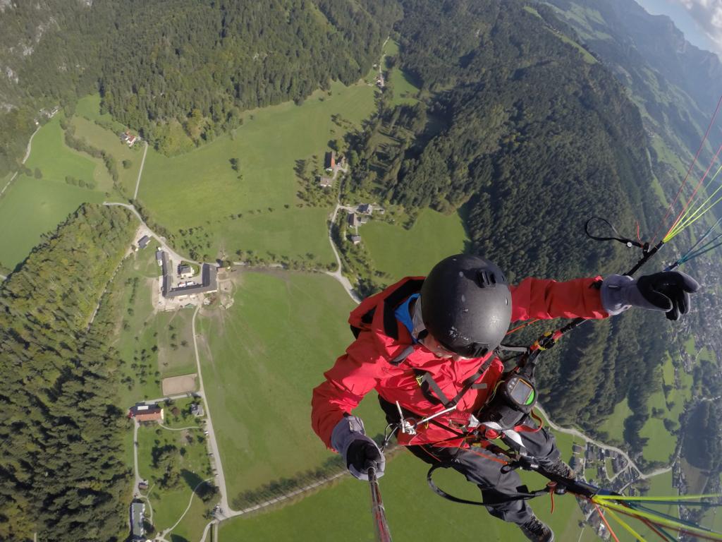
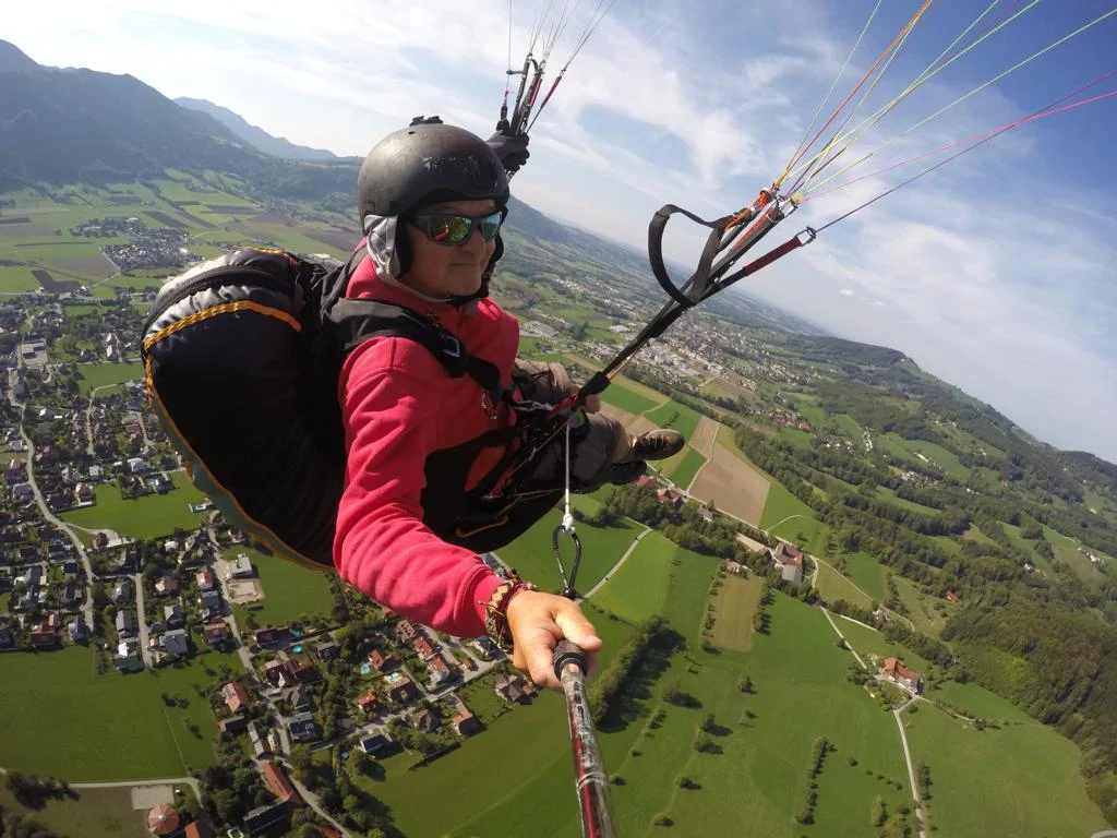
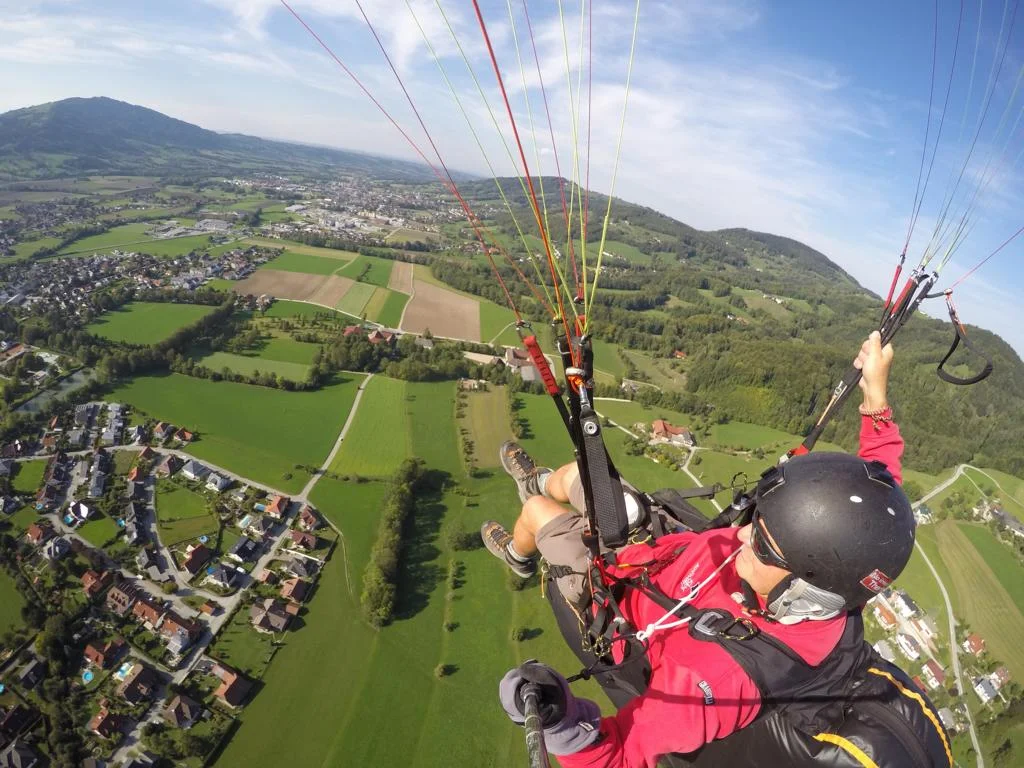
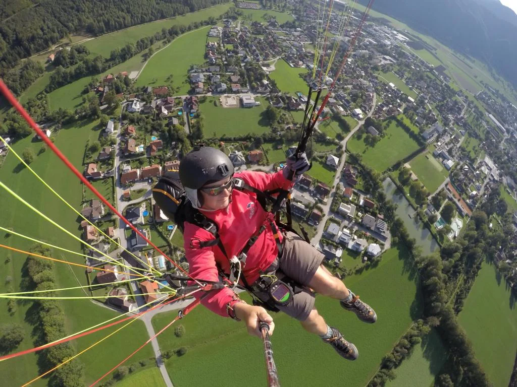
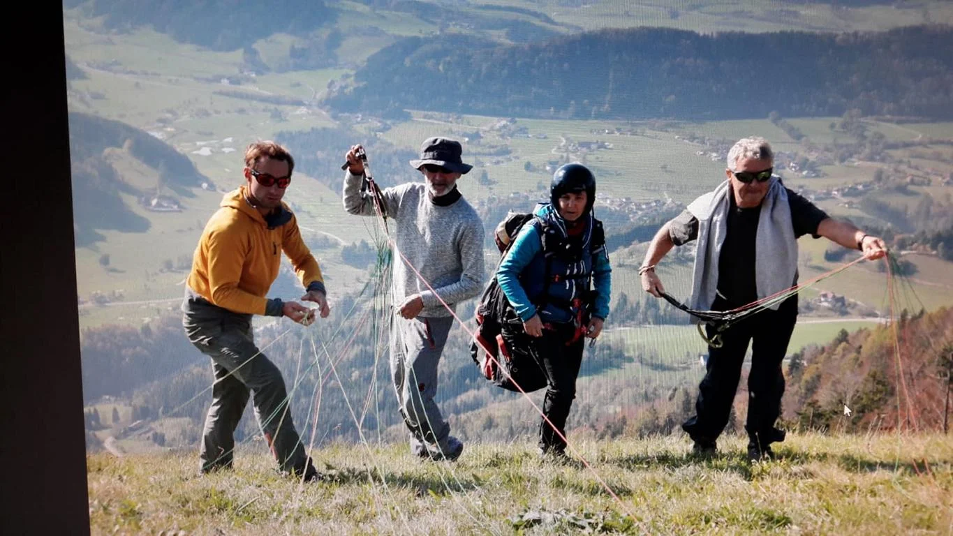
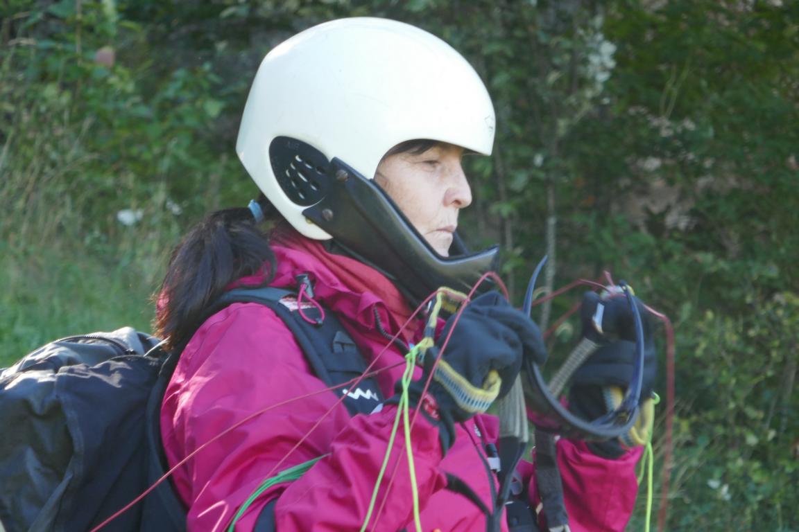
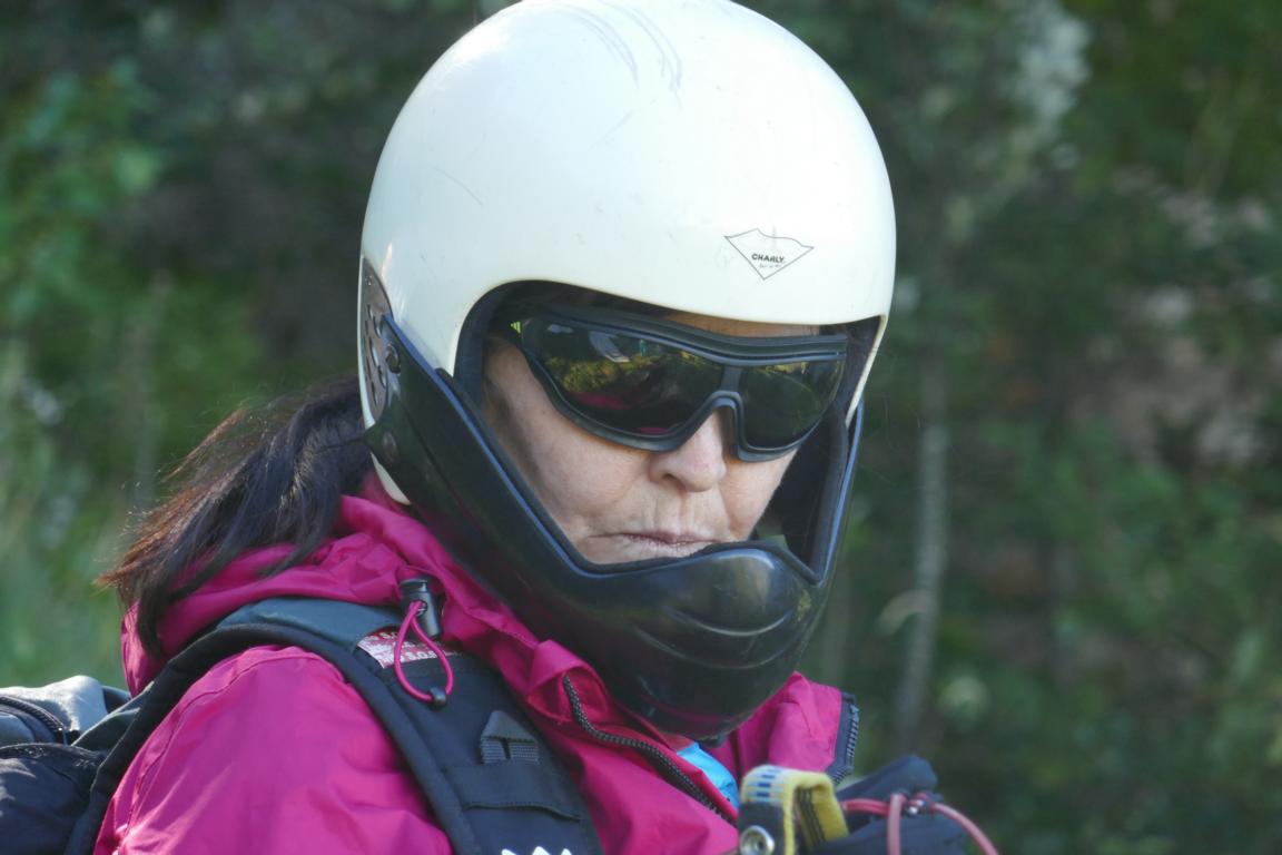
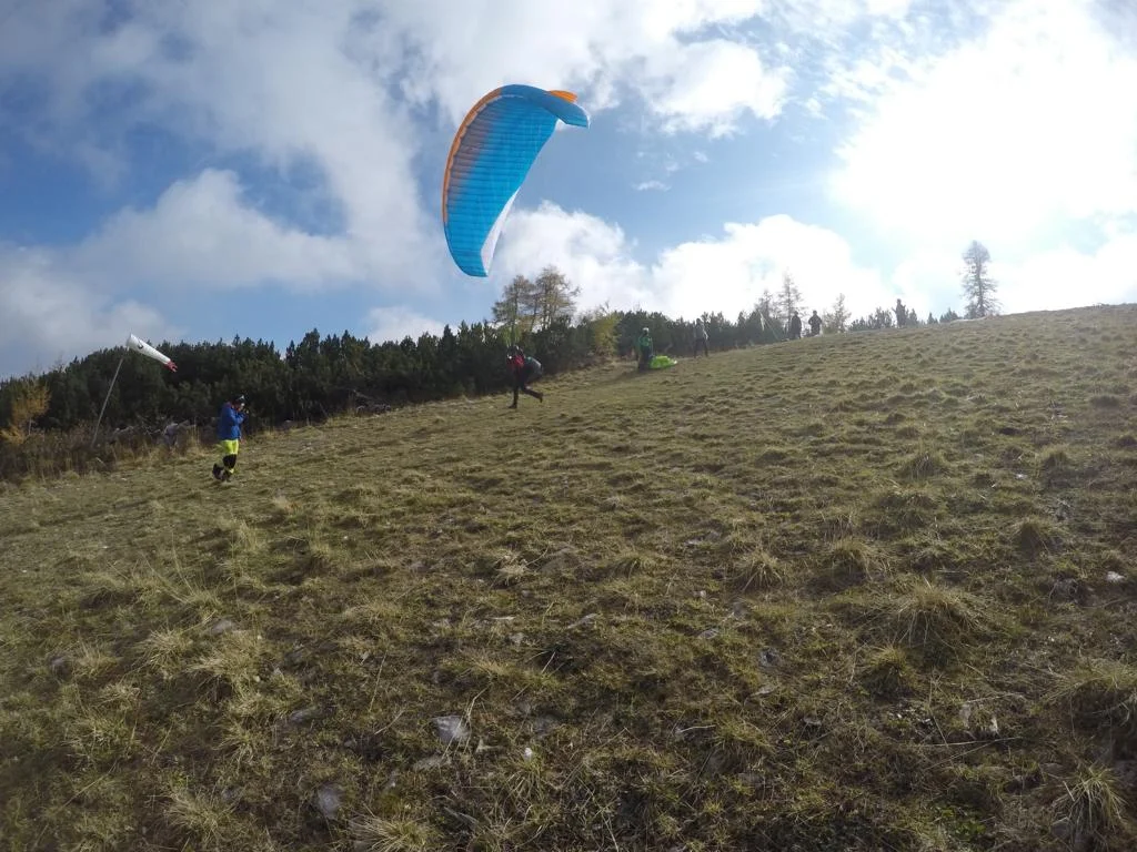
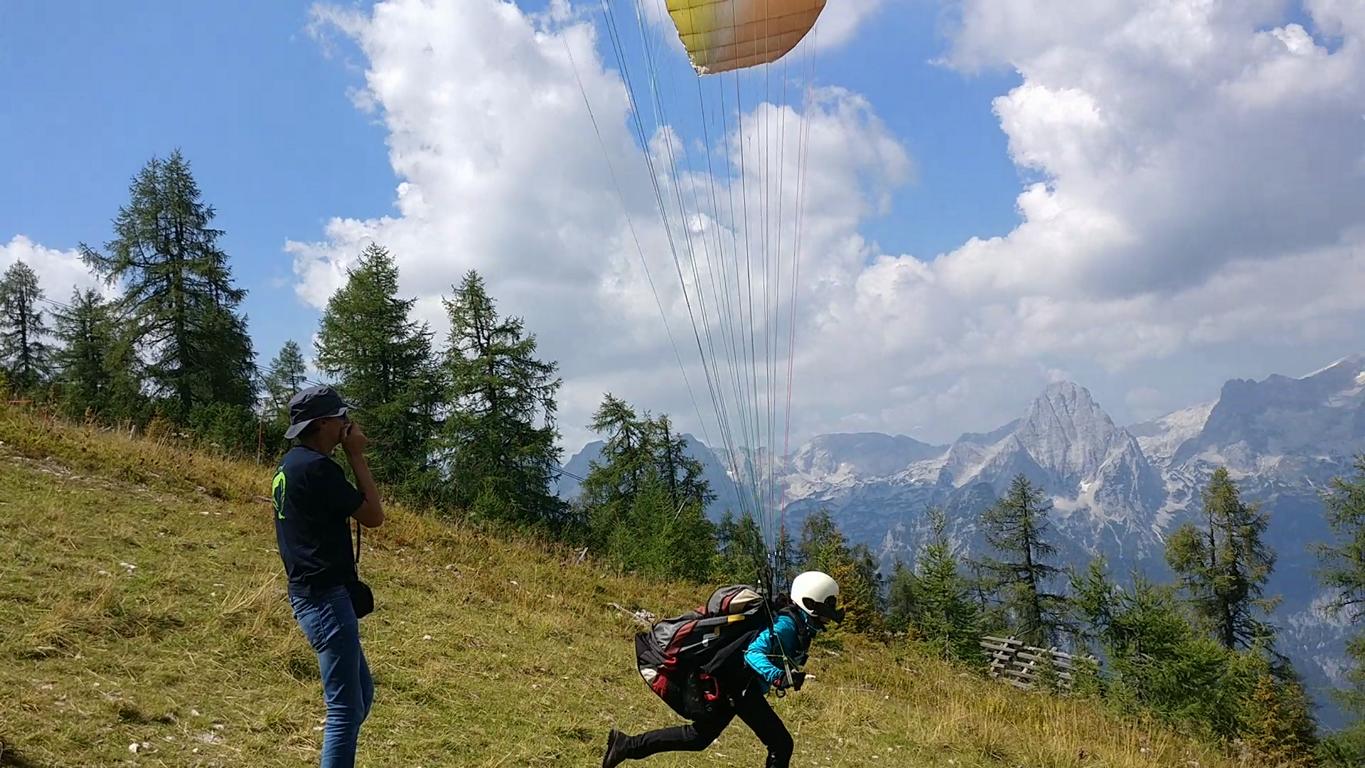
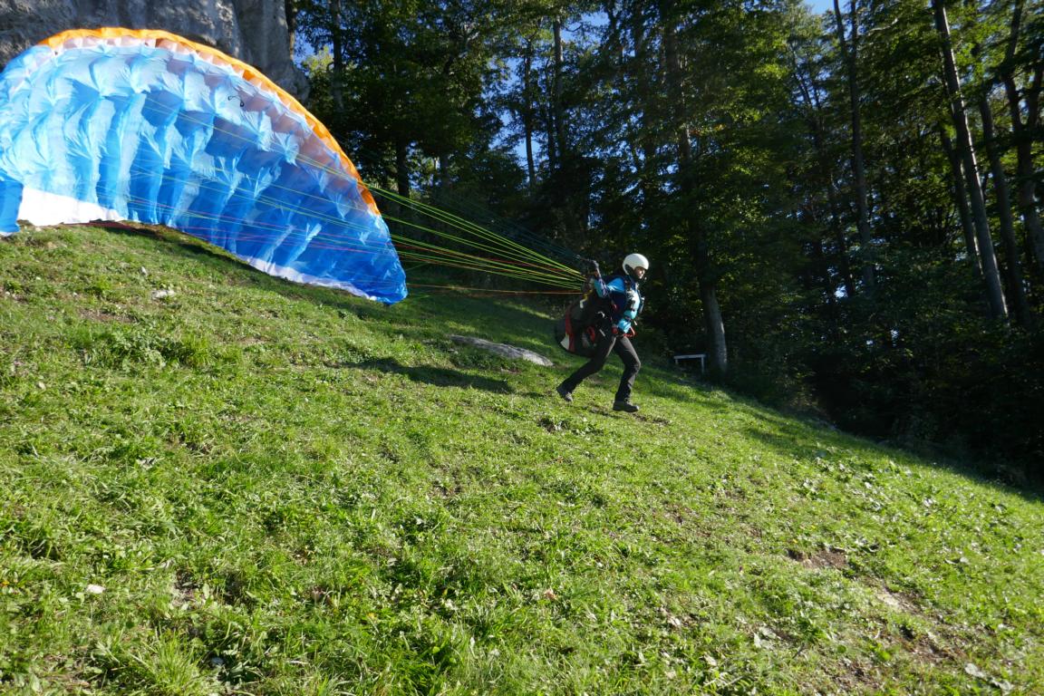
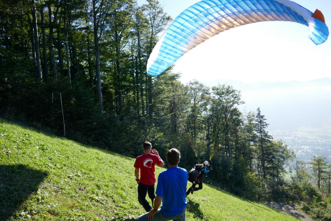
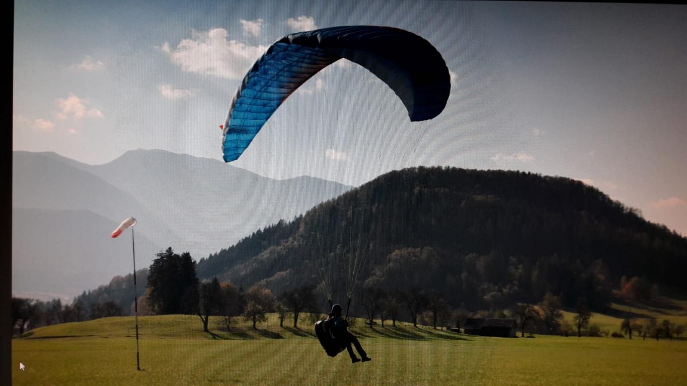
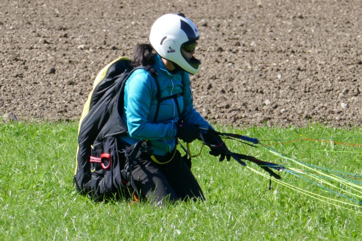
Land, Sea, Air….. As we had a remarkable summer there were many opportunities for paragliding. Ursula used the great weather to participate in a paragliding course. Here are a few pictures of her first flights. Thank you Kurt that we can use some of your pictures.
Zu Land, zur See und in der Luft….. Da wir einen bemerkenswerten Sommer hatten gab es viele Möglichkeiten zum Paragleiten. Ursula nutzte das tolle Wetter für einen Paragleitkurs. Hier einige Fotos ihrer ersten Flüge.

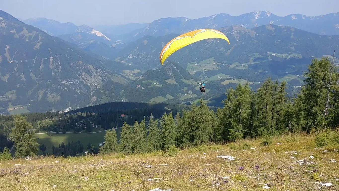
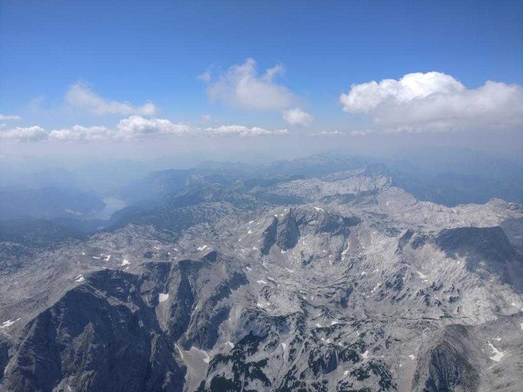
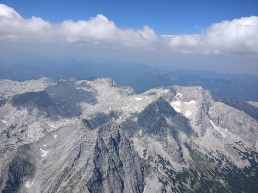
Below pictures show one of my flights along the Toten Gebirge (Dead Mountains) in Upper Austria with the Grundlsee (Lake Grundl), the Spitzmauer (2.446m) and the Großen Priel (2.515m).
Die folgenden Fotos zeigen einer meiner Flüge entlang dem Toten Gebirge in Ober-Österreich mit den Grundlsee im Hintergrund und der Spitzmauer (2.446m) und dem Großen Priel (2.515m).
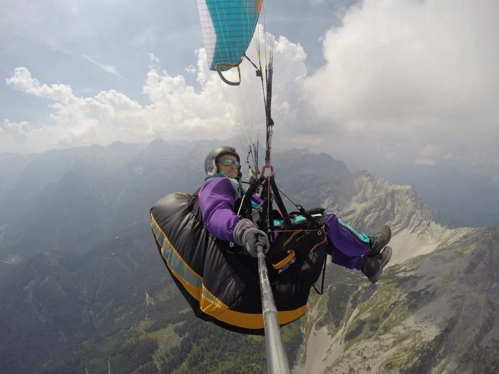
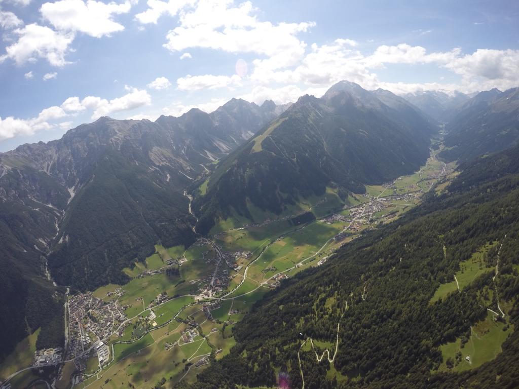
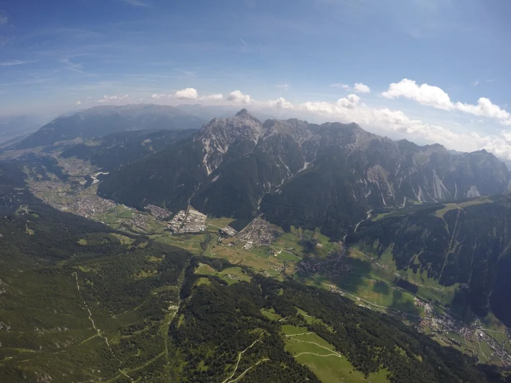
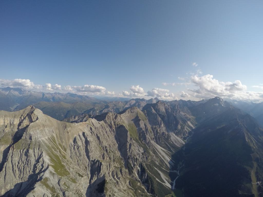
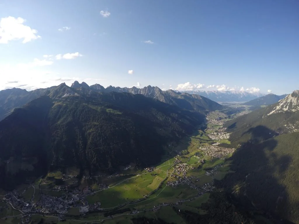
Another great flying area is the Stubaital near Innsbruck / Tyrol. Photos show the valley in the direction to Innsbruck and towards the glacier.
Ein anderes großartiges Fluggebiet ist das Stubaital. Fotos zeigen den Taleingang Richtung Innsbruck und den Torschluss mit den Gletschern.
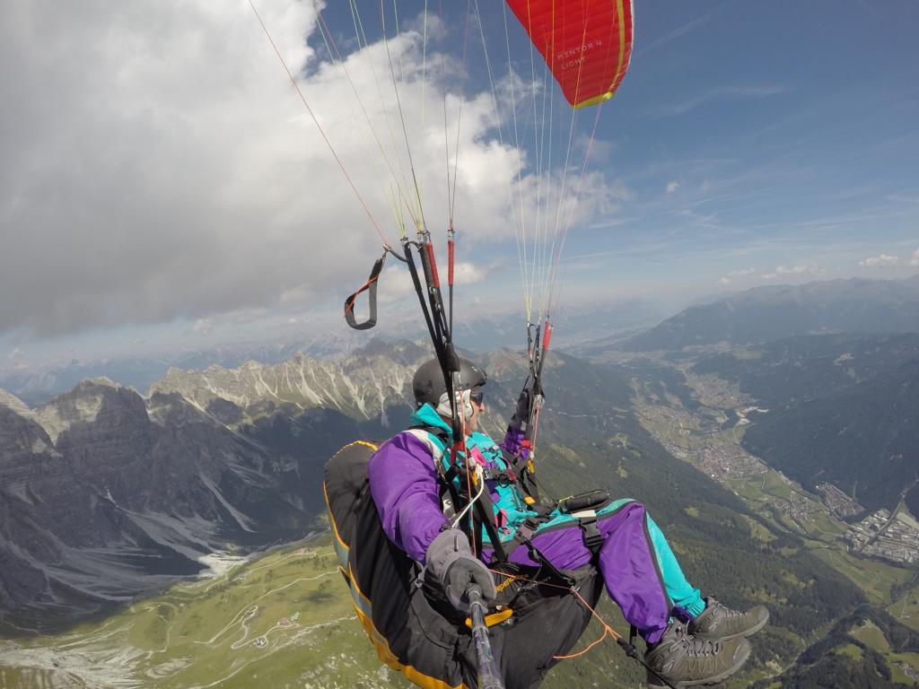

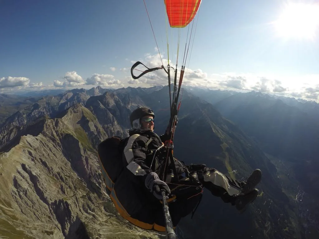
I have uploaded a short video of that flight which may give you some understanding of the fascination of paragliding when flying in a smooth thermo high above the mountains.
Ich habe ein kleines Video von diesem Flug hochgeladen, um einen Einblick in die Faszination des Paragleiten zu geben, wie es ist wenn man von einer sanften Thermik getragen über die Berge fliegt.
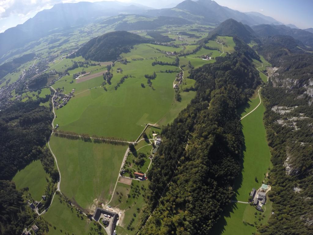
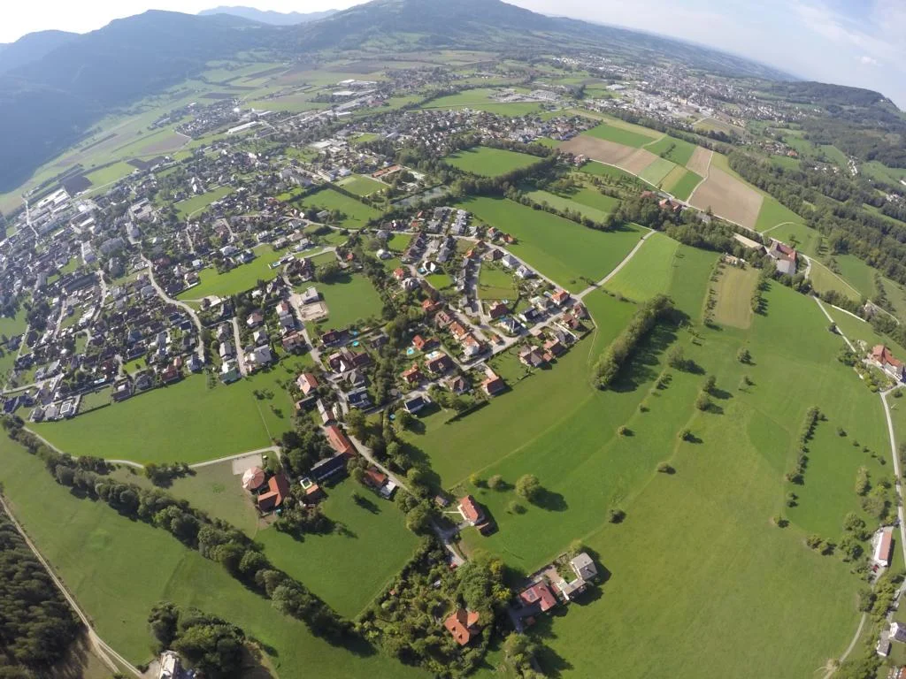
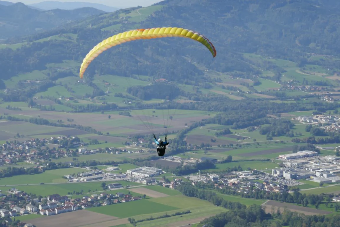
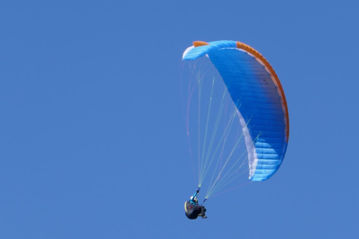
Finally a few photos showing my home-region Micheldorf und Windischgarsten (both located in Upper-Austria).
Zum Schluss noch einige Fotos von meinen „Heimat-Fluggebieten“ in Micheldorf und Windischgarsten (beide in Ober-Österreich).