Peru: Trekking Cordillera Huayhuash - Nov 2017
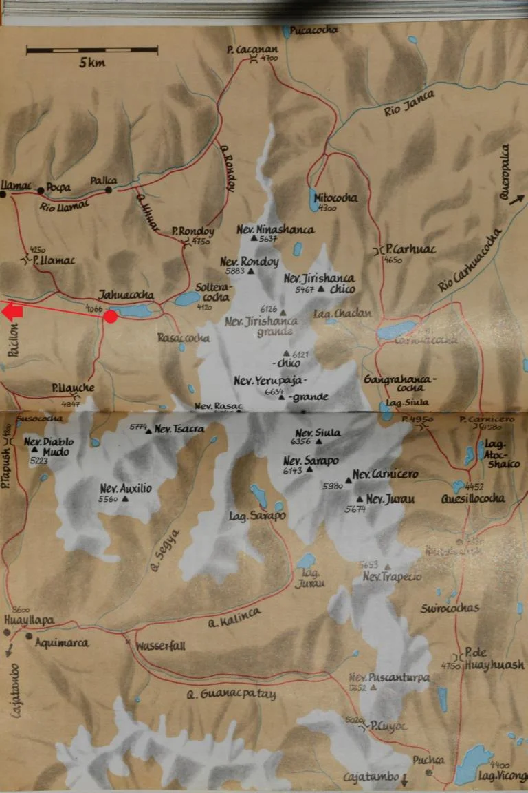
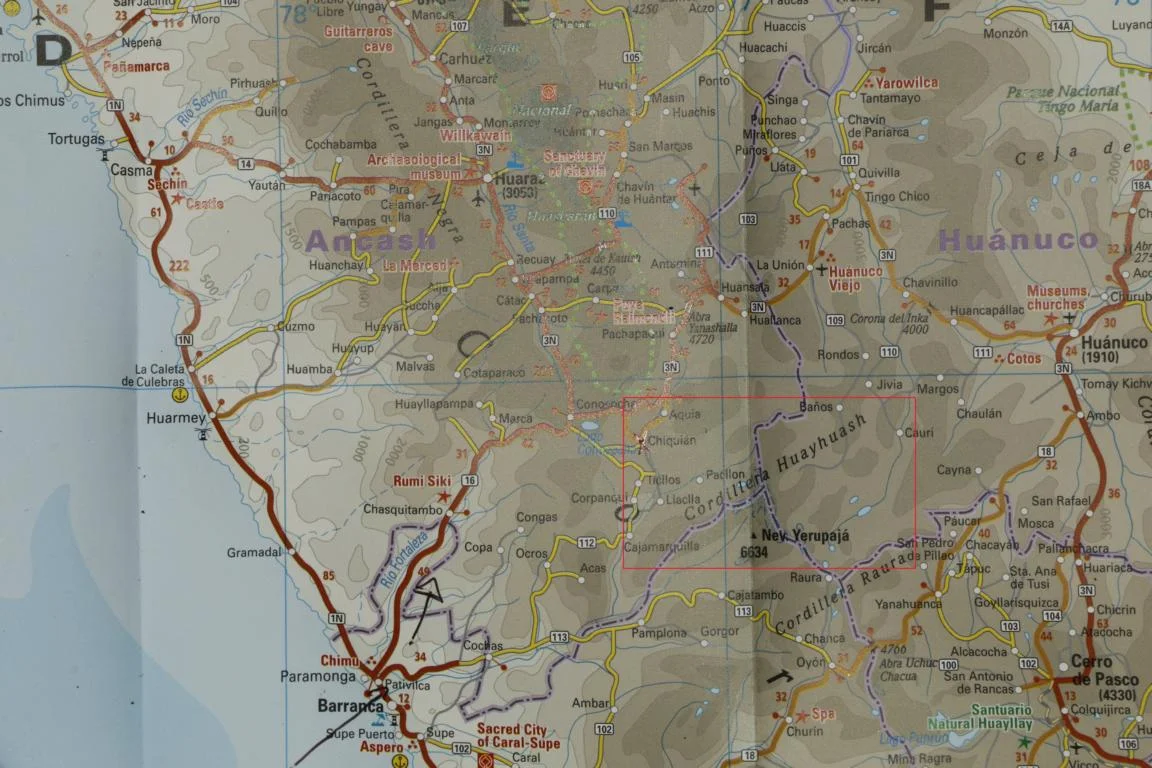
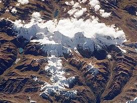
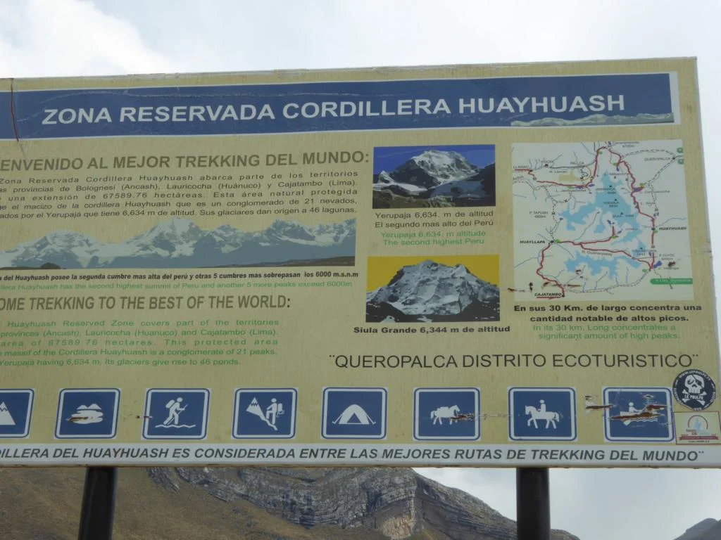
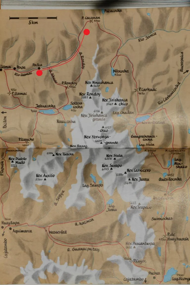
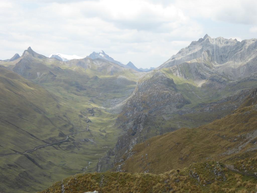
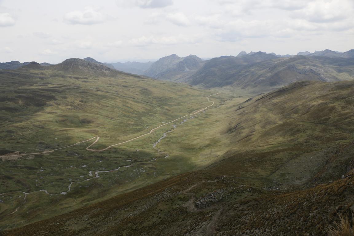
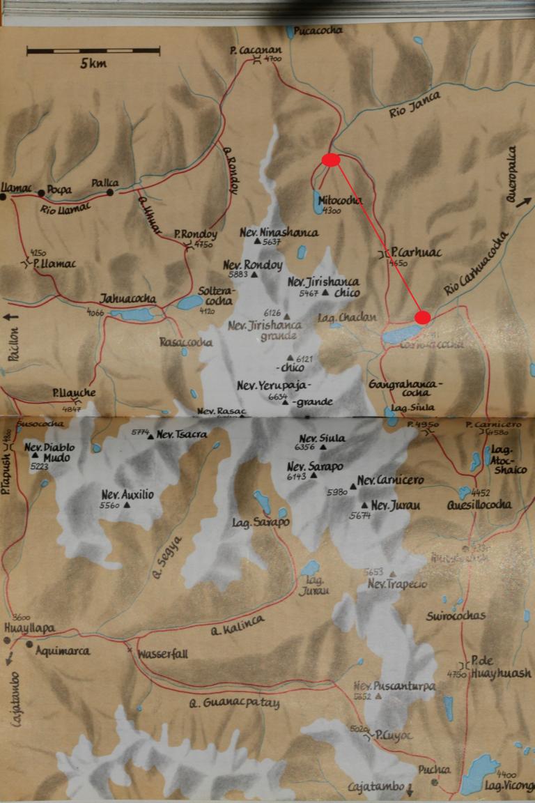
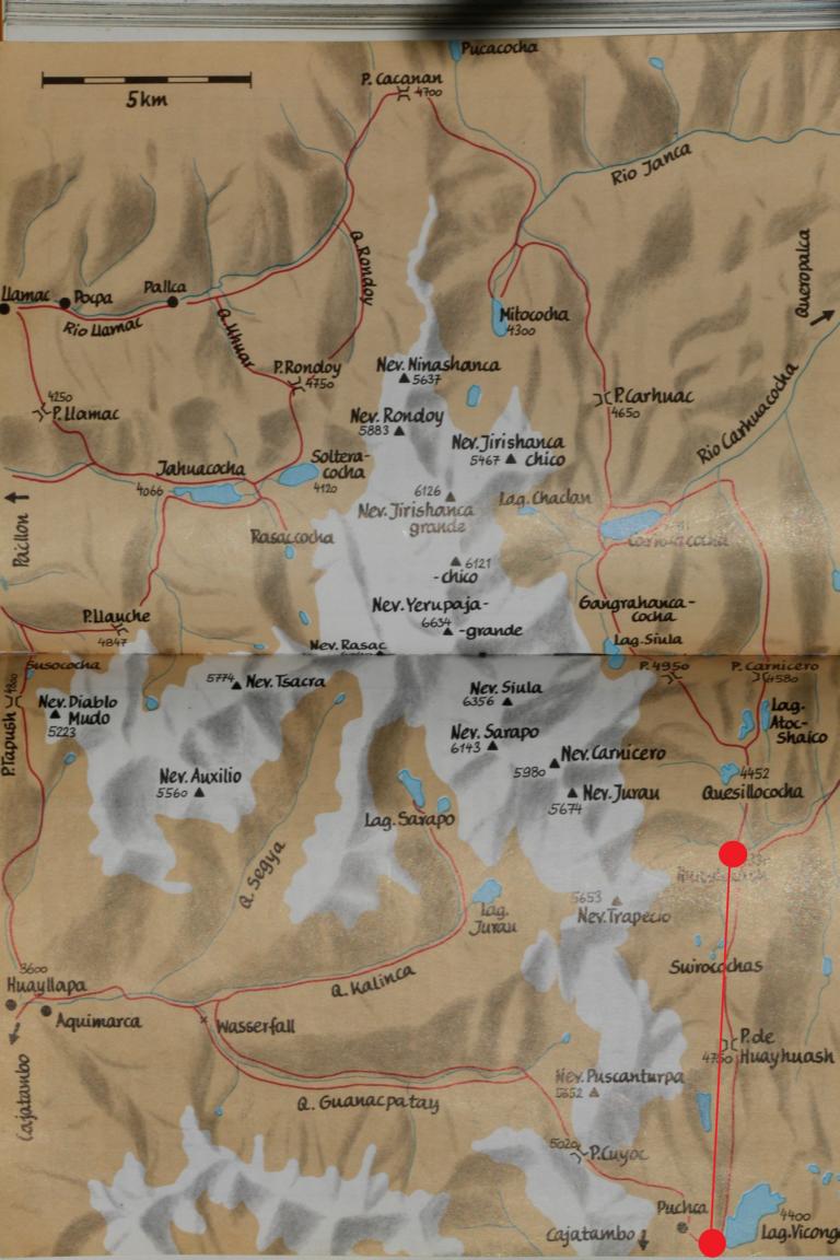
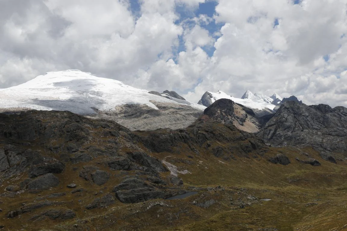
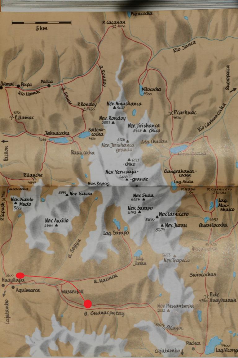
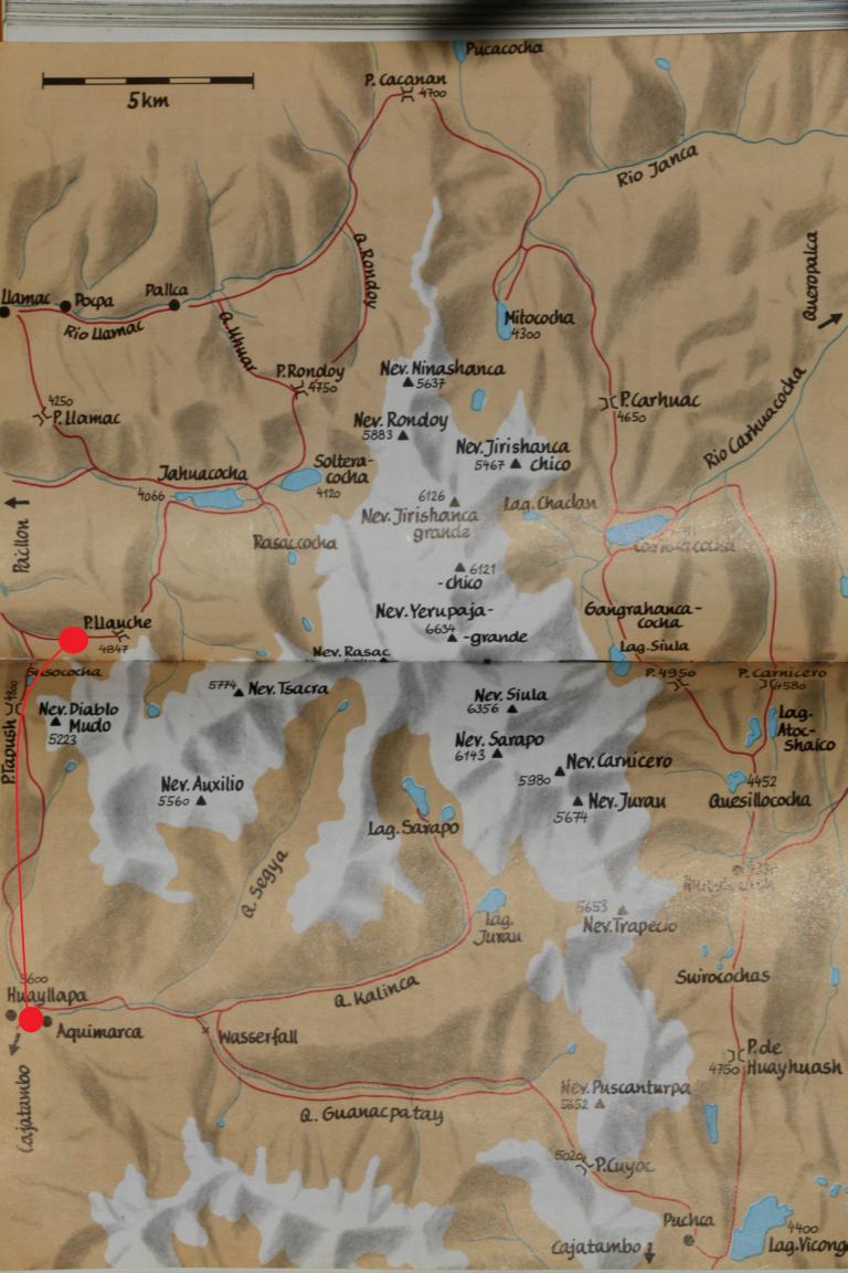
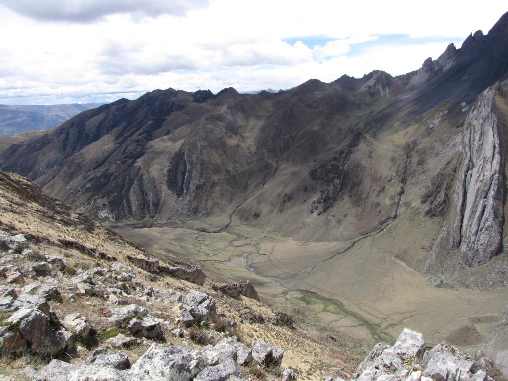
The Cordillera Huayhuash is a 30-km long mountain range located some 300 km north of Lima. It consists of six mountain peaks higher than 6,000m and many more higher than 5,500m, with the Yerupajá (6,617 m; 21,709 ft) being Peru’s second highest mountain. Due to its limited extent it is possible to hike around this mountain chain in approx. 10-12 days. The second picture is a satellite image of the mountain chain.
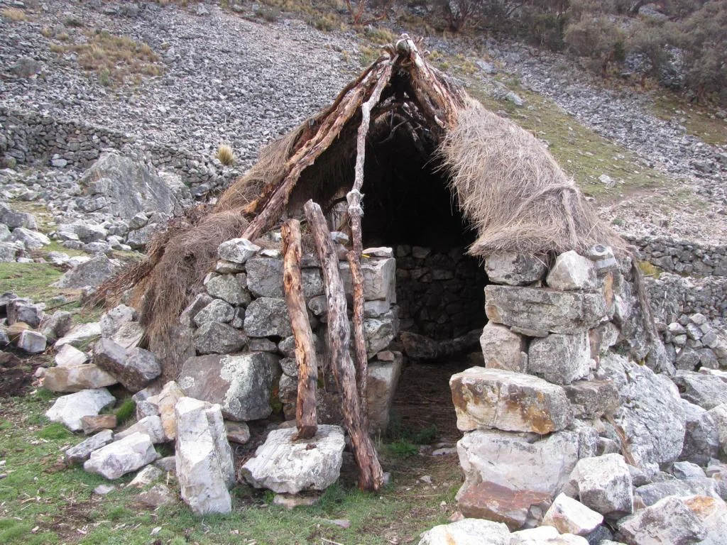
In the 1980s the area functioned as a remote base for the Shining Path (Sendero Luminoso) and was not considered safe.
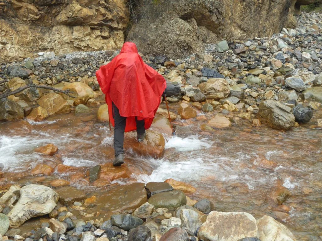
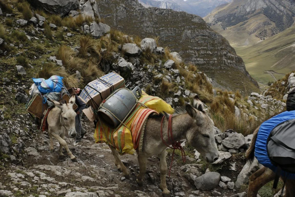
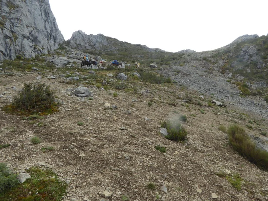
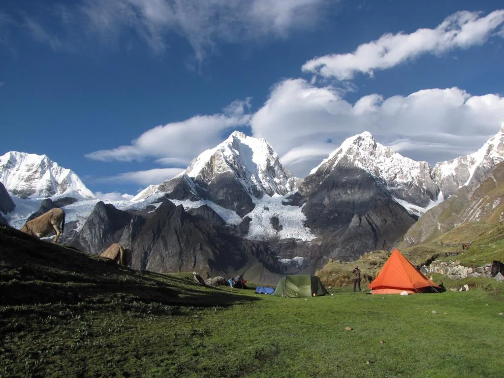
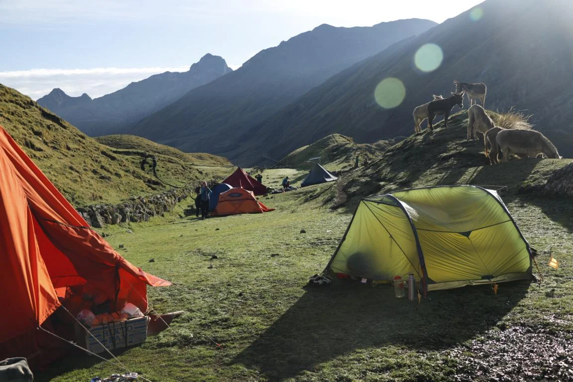
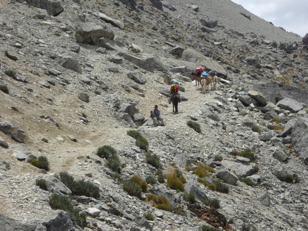
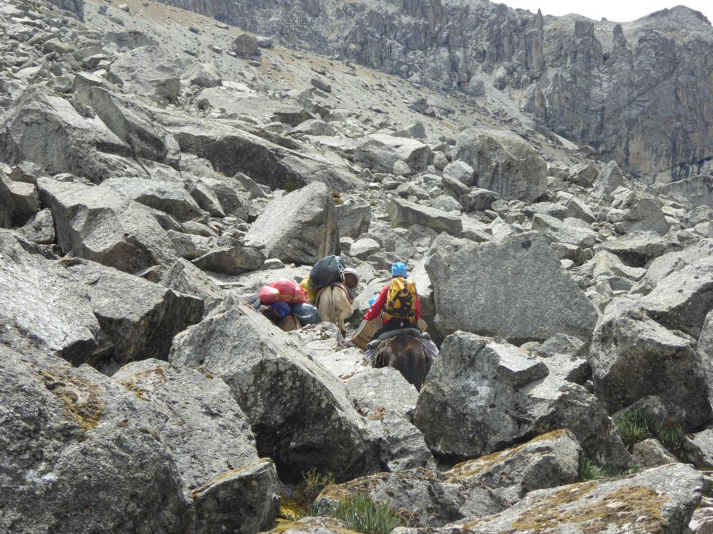
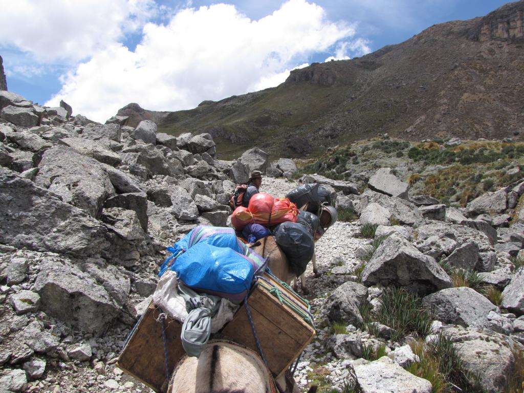
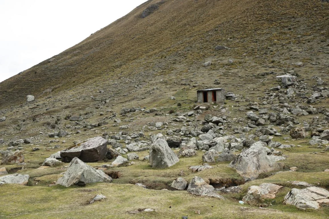
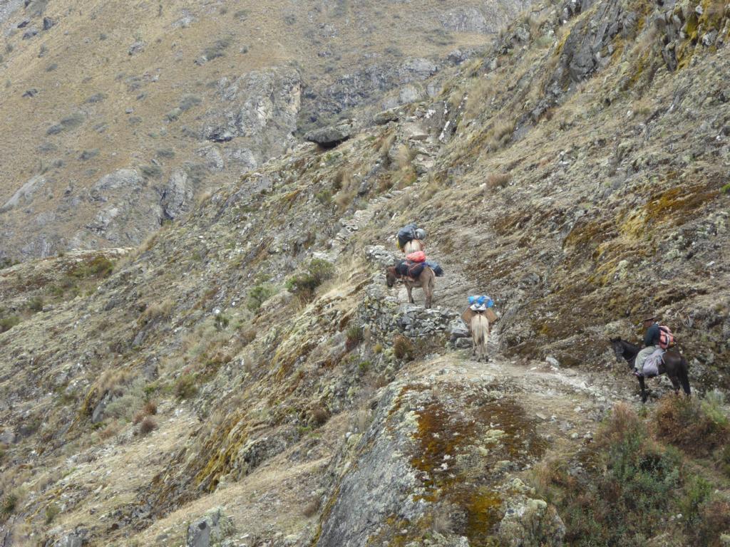
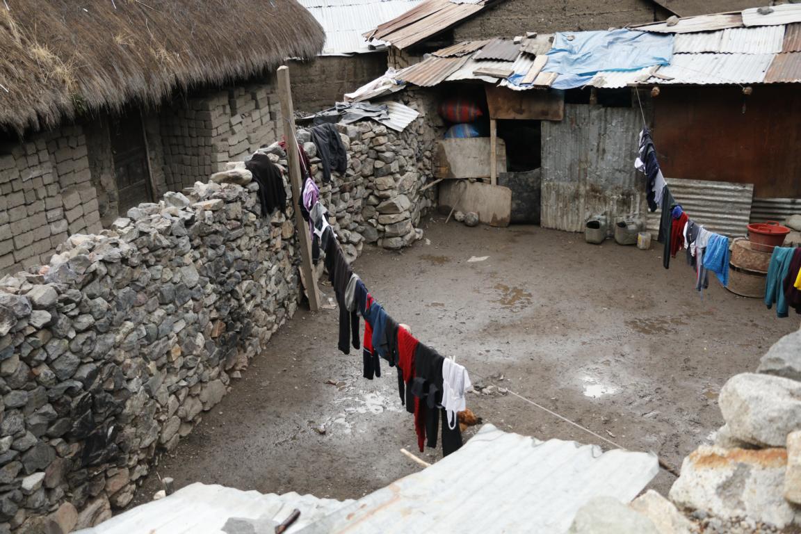
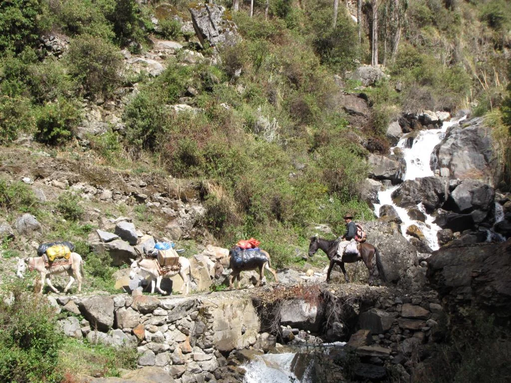
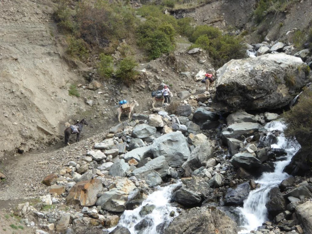
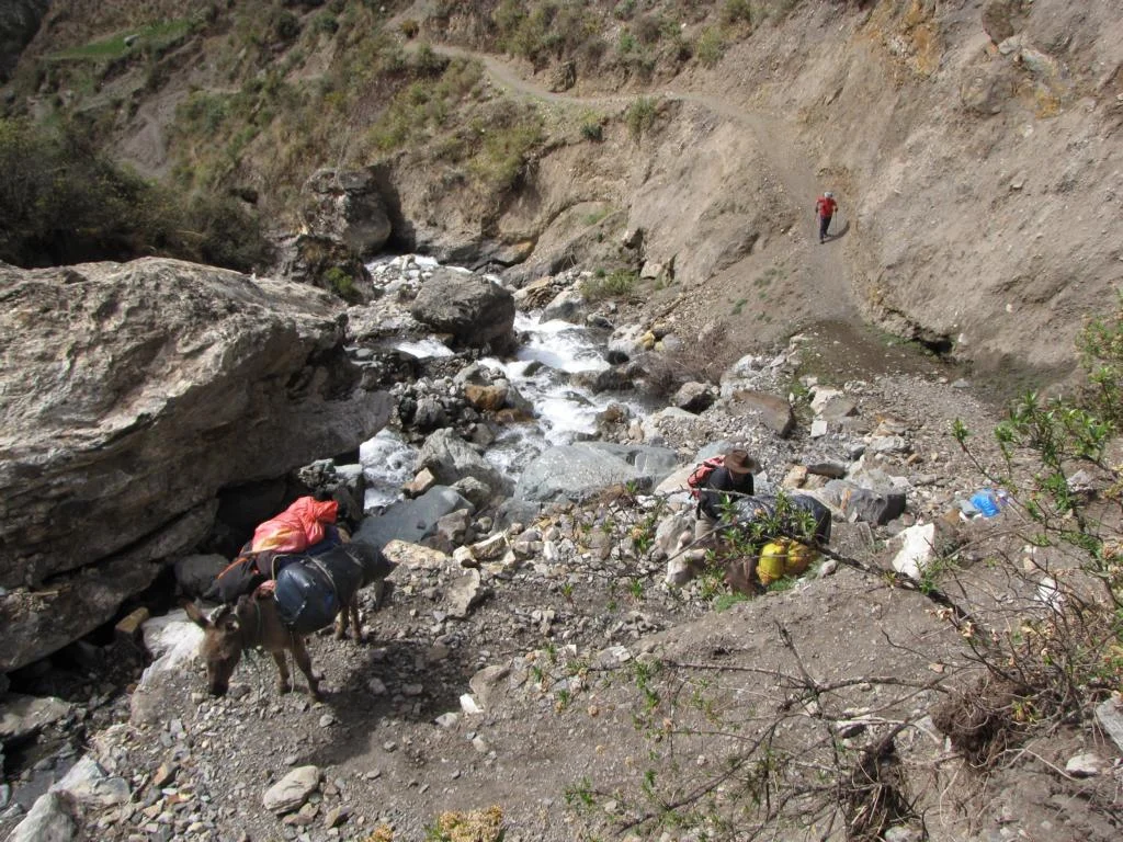
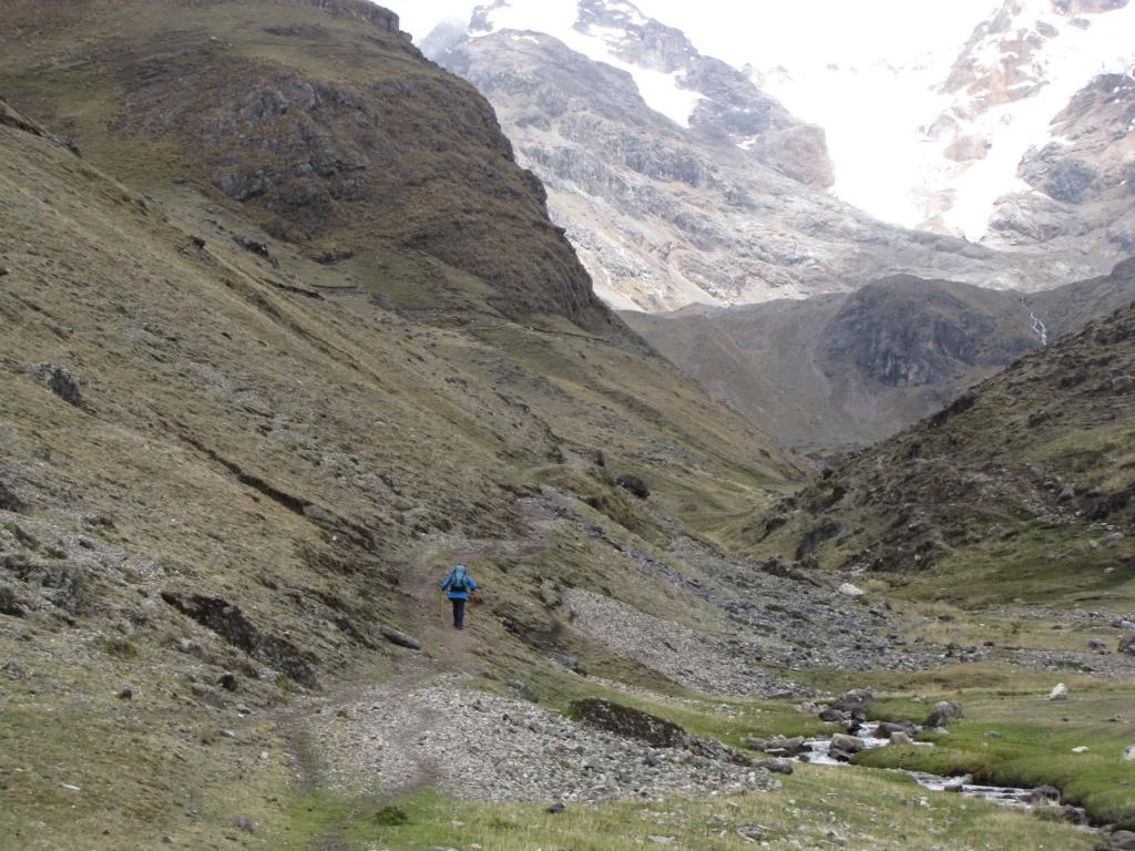
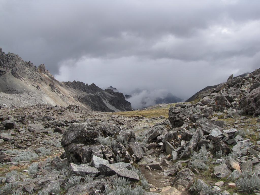
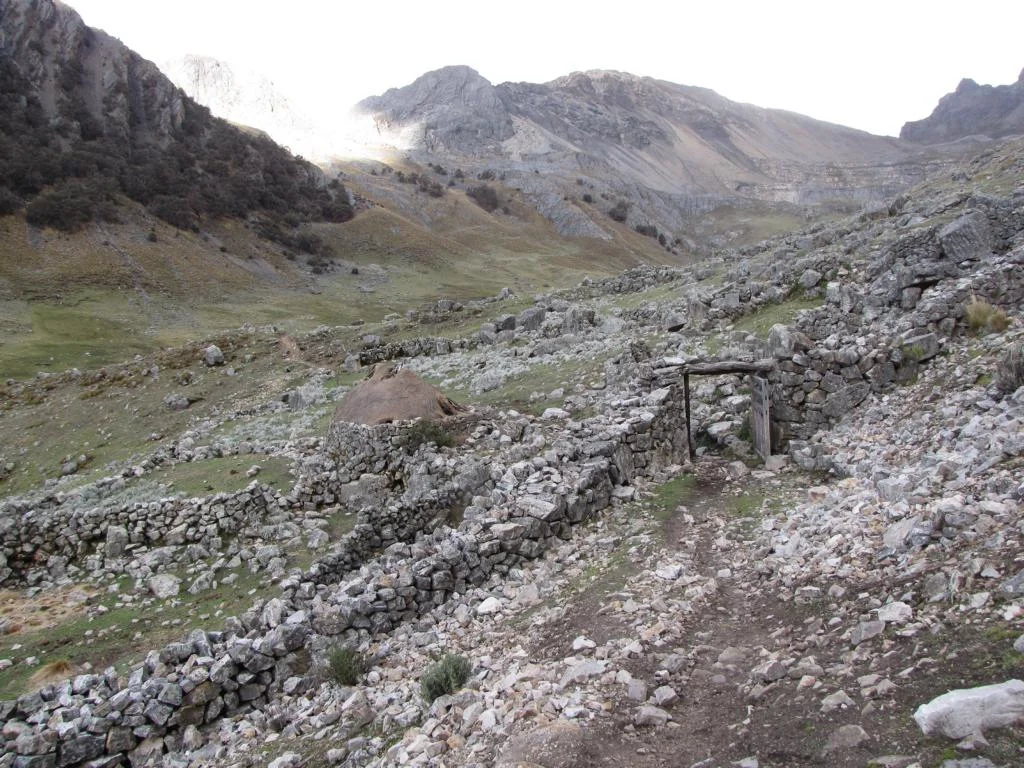
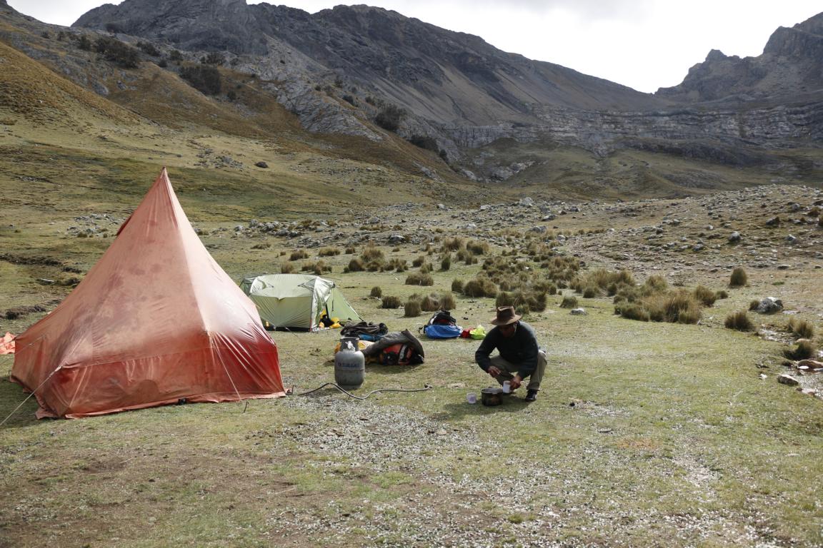
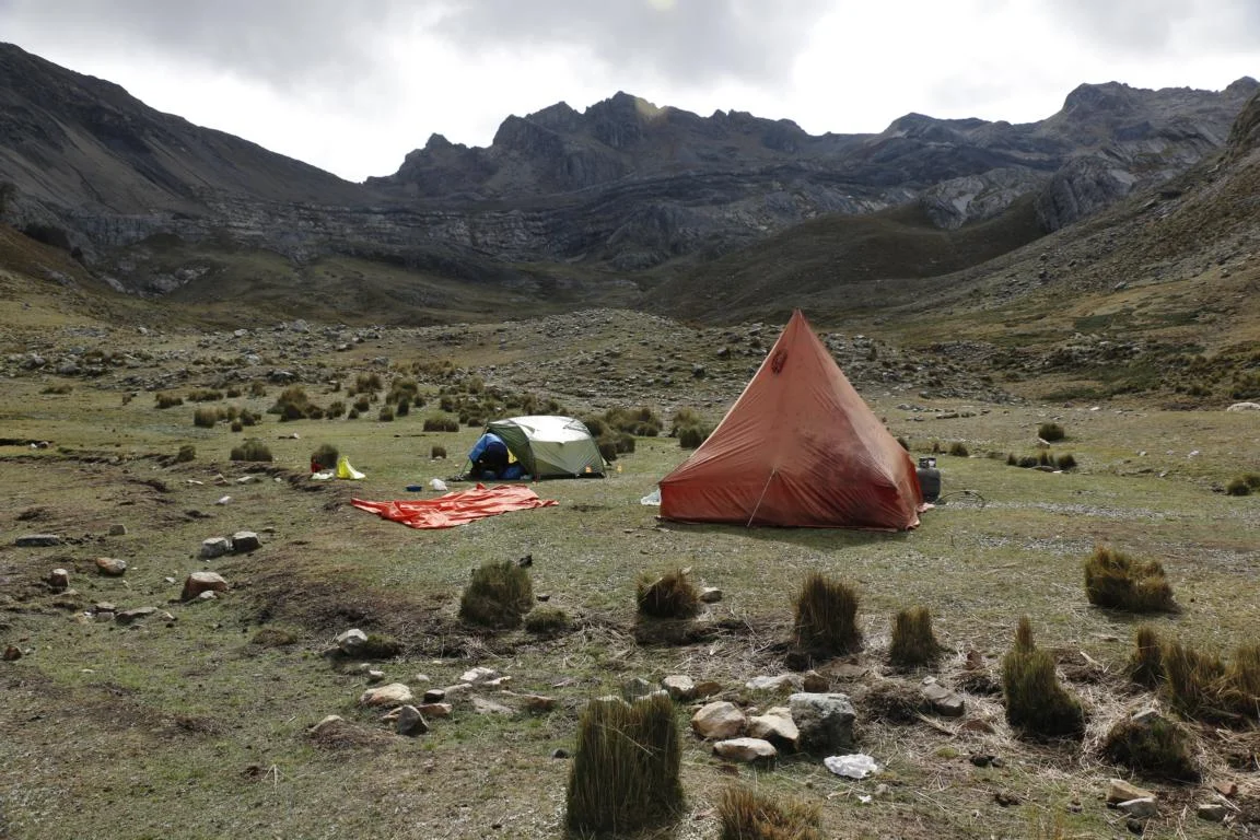
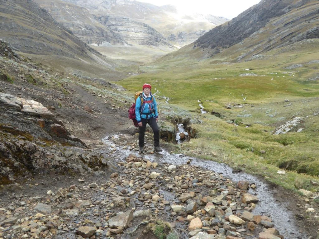
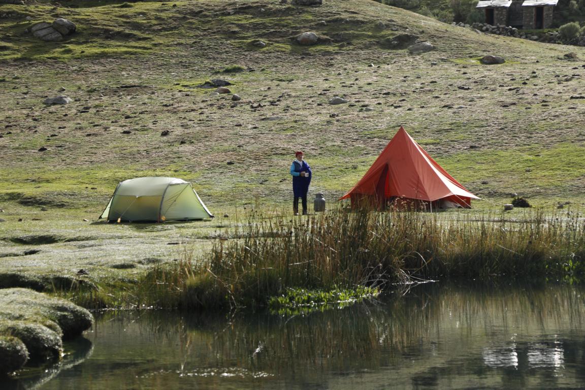
Depending on the route one takes the Cordillera Huayhuash circuit is approx. 140 km long and one has to surmount eight passes with a total accumulated altitude of some 6,000m. The trail constantly leads between 4,000 and 5,000 m and during the 10-12 days hike only once you will reach a village. As a consequence, acclimatization is key and you will need to take all the food and fuel for cooking with you. There is no infrastructure except some basic toilets at each camp site. One needs to calculate a daily hiking time between 5 to 8 hours depending on the length of the section.
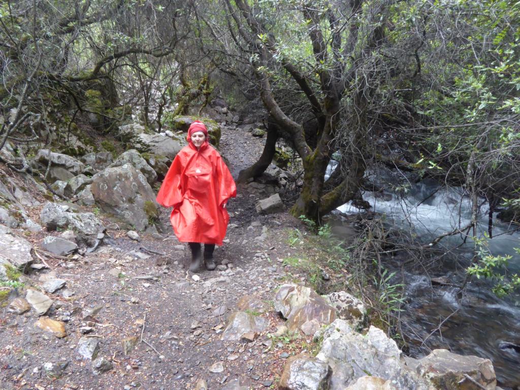
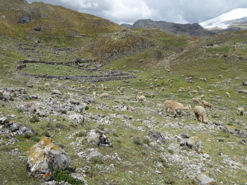
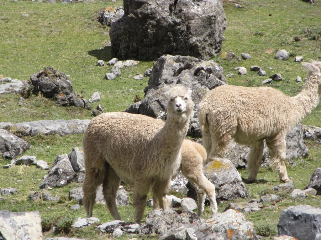
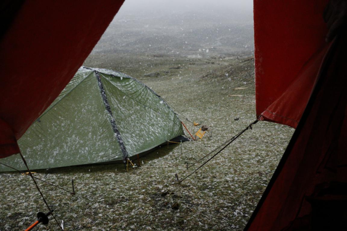
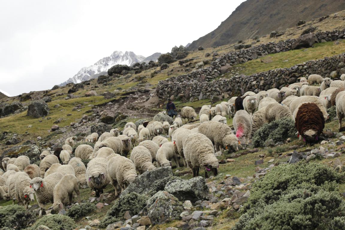
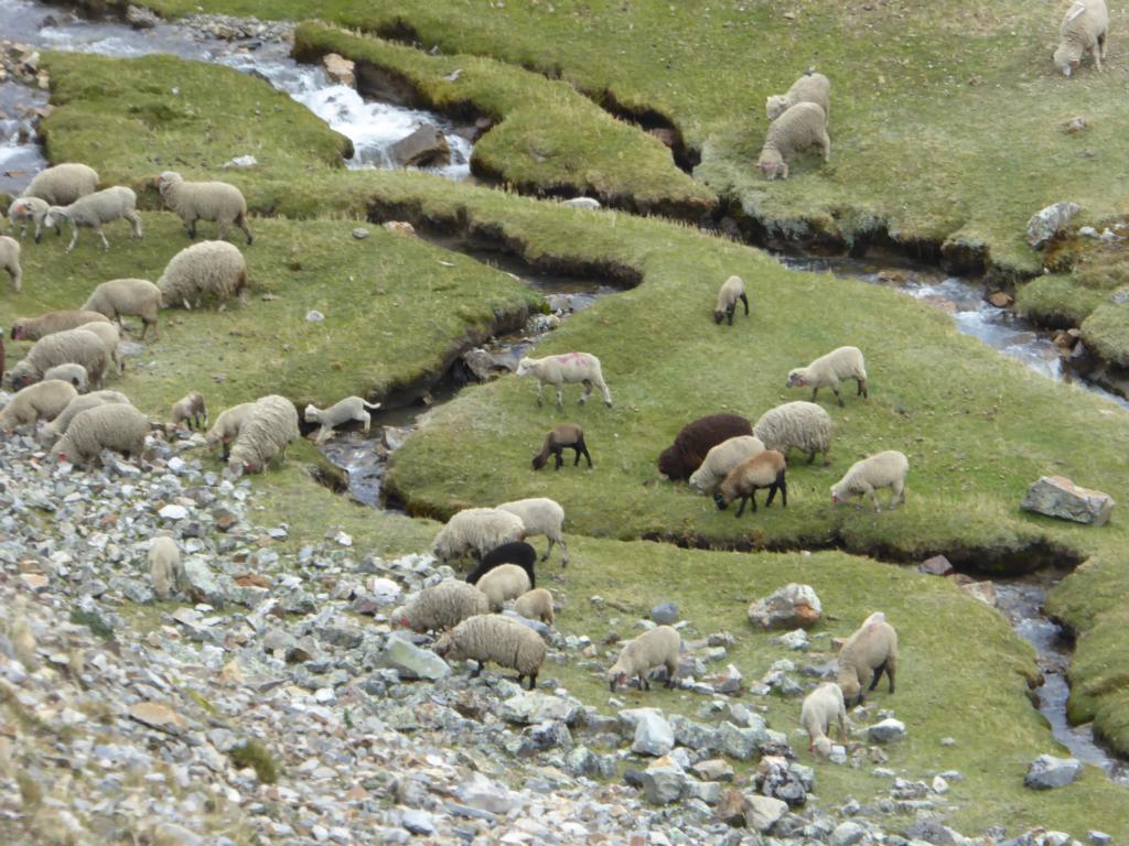
Best hiking season is May to September when several groups start the hike every day. As we trekked during second half of November we strongly felt the beginning of the rainy season with rain, hail or snow storm nearly every afternoon. The advantage was that with the exception of one day when we met another group we were all the time on our own. The down side is: with less people trekking security declines and there are reports of assaults and robberies during the shoulder season. In addition, many of the shepherds have left the pasture land by that time which leaves the whole area deserted.

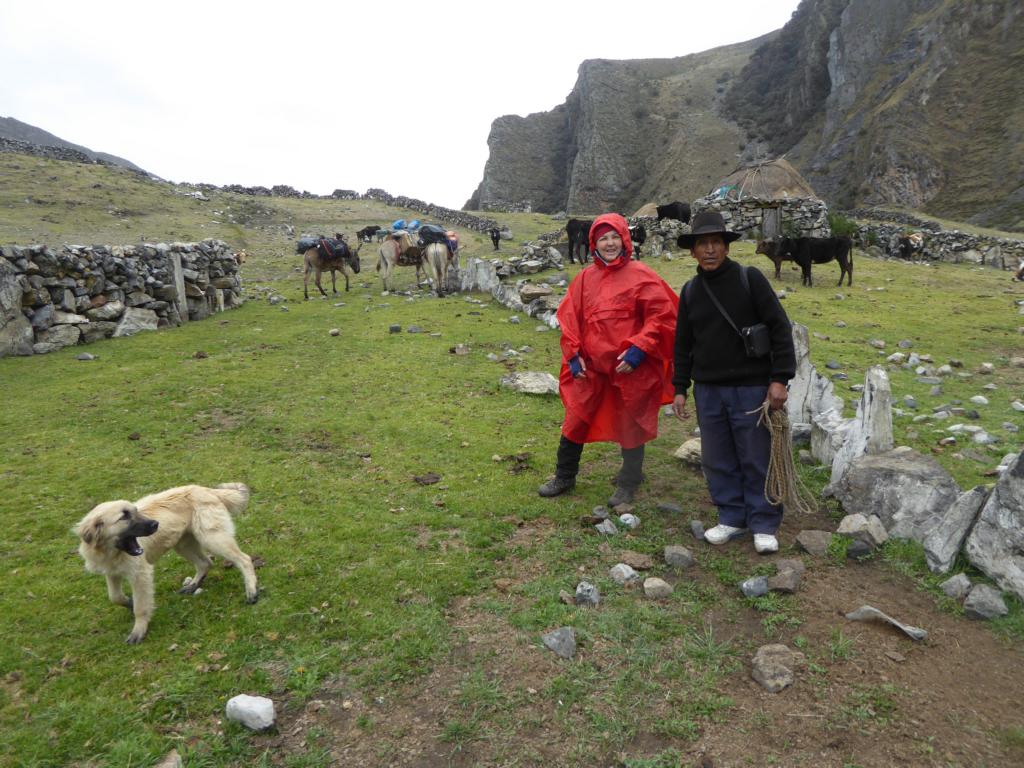
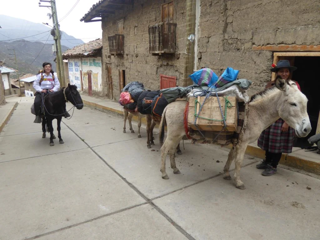
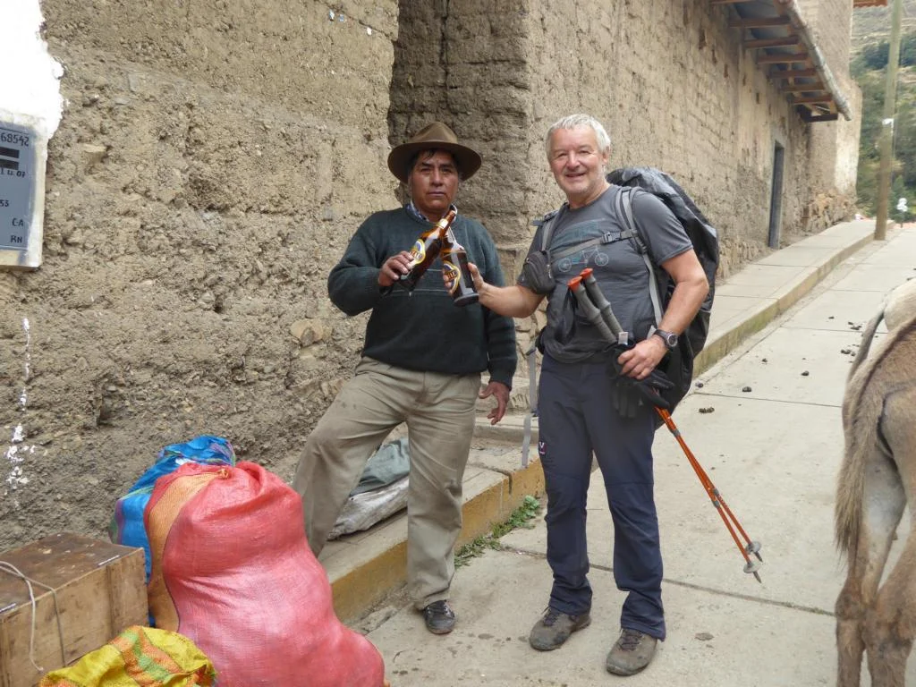
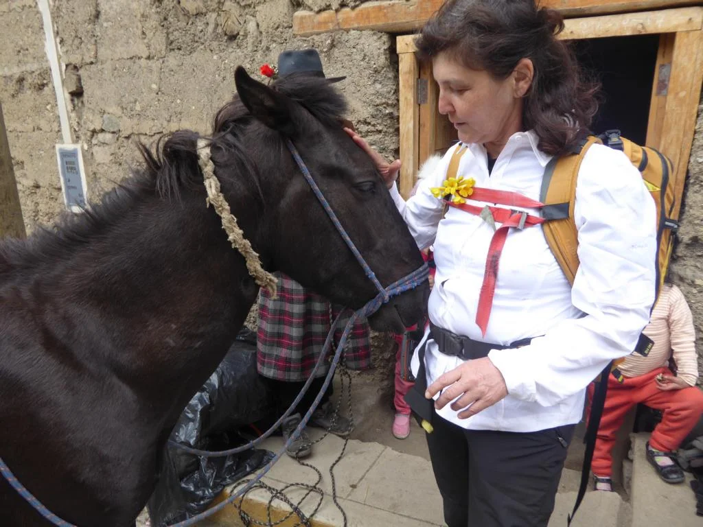
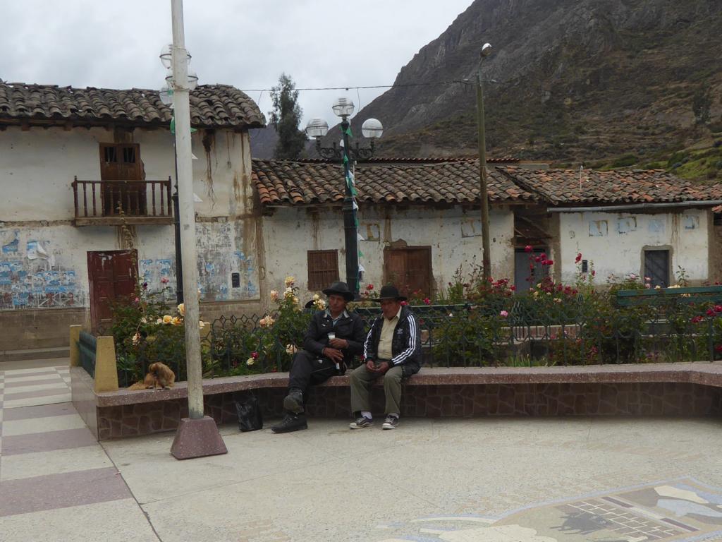
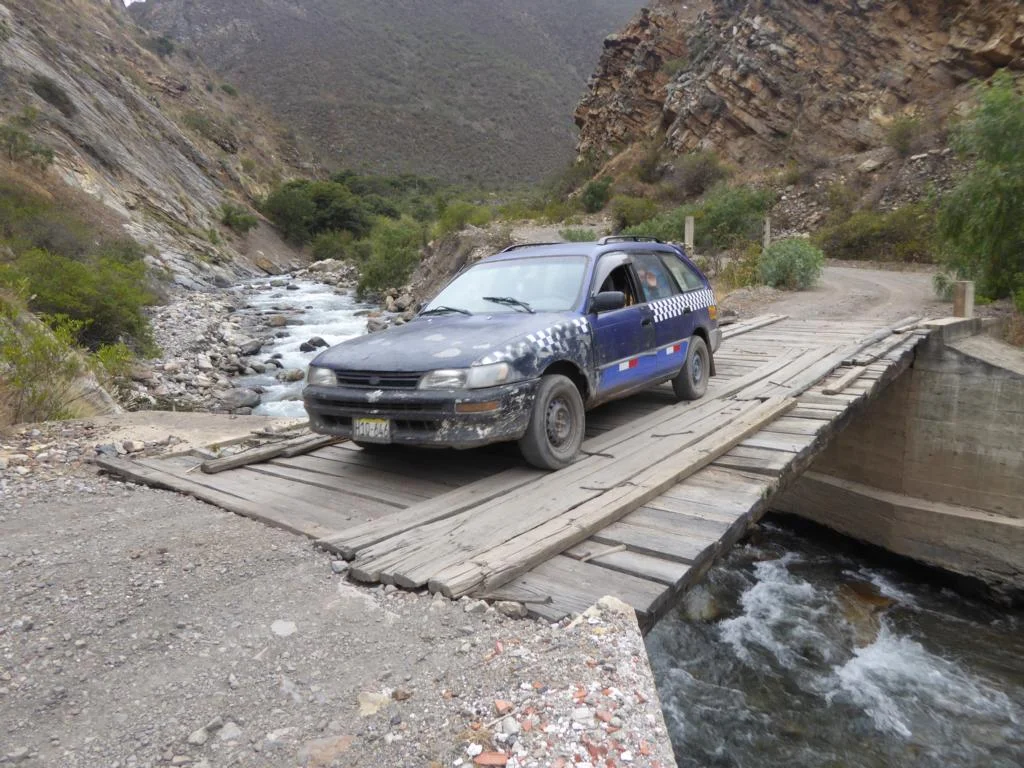
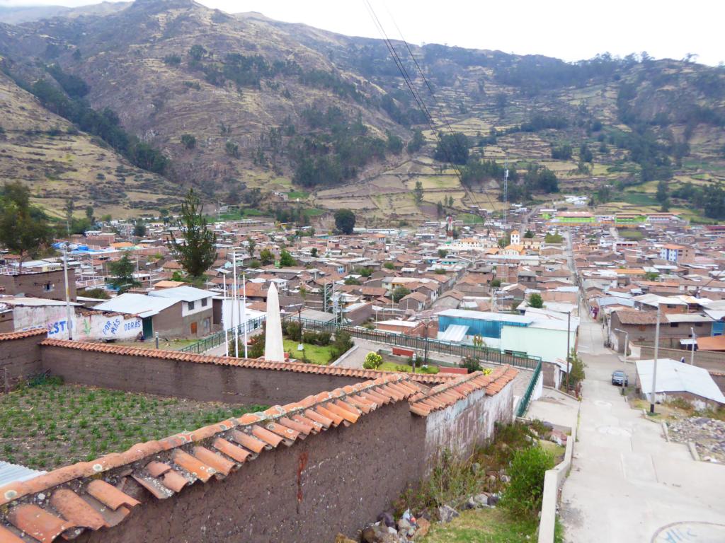
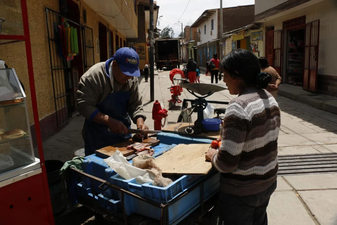
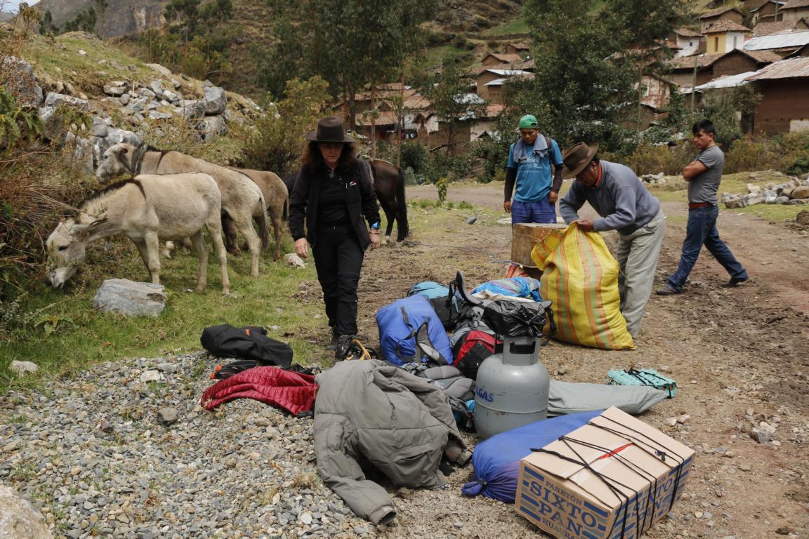
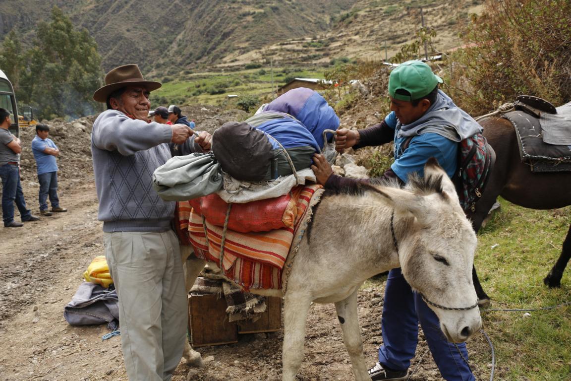
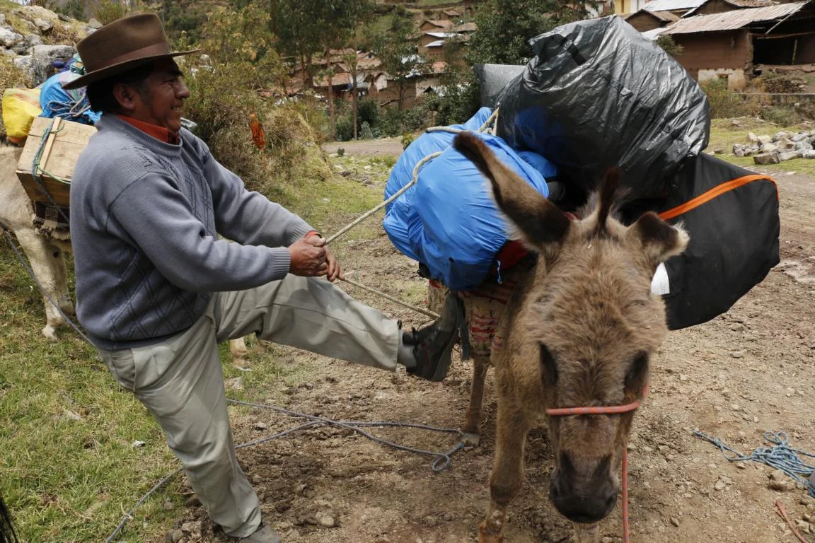
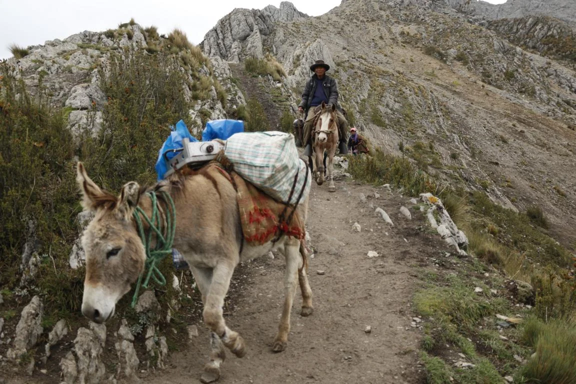
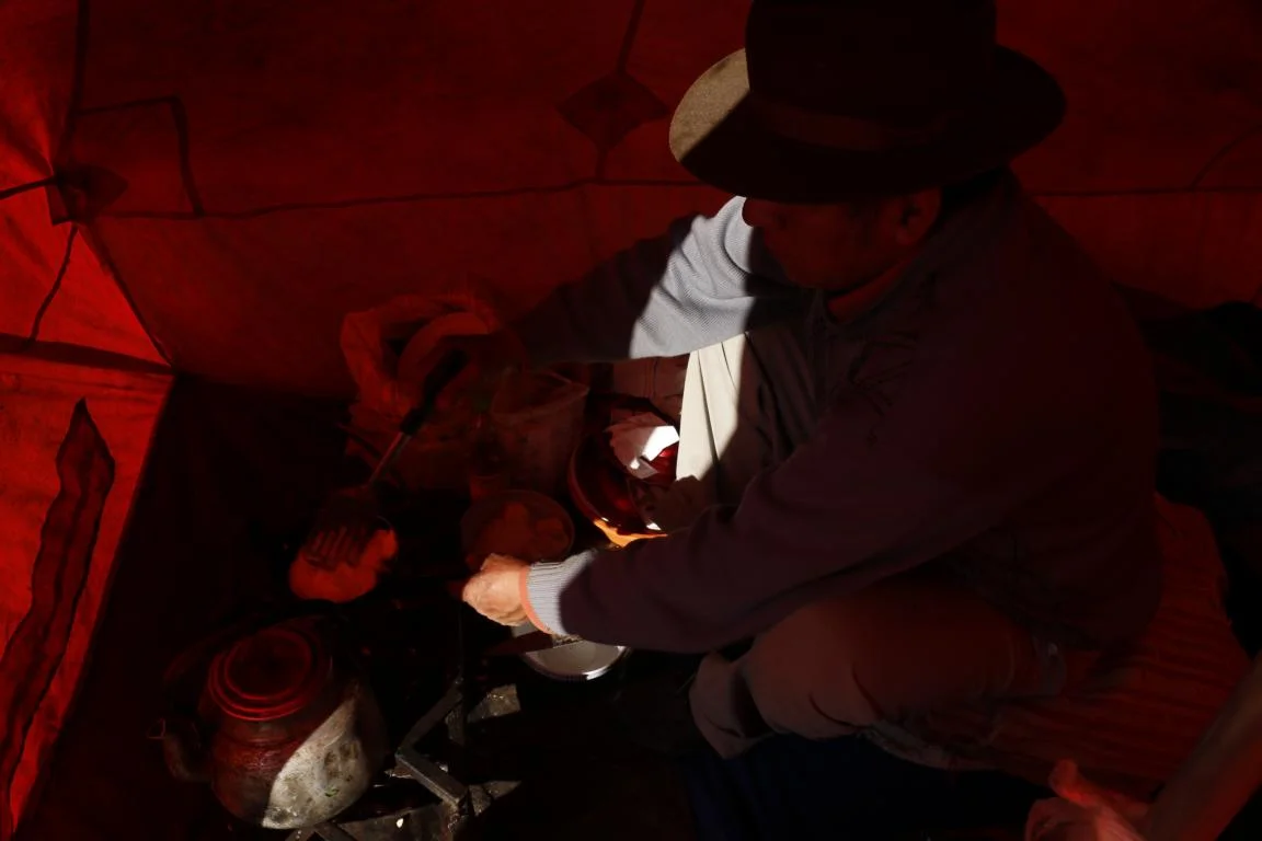
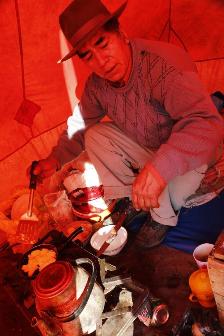
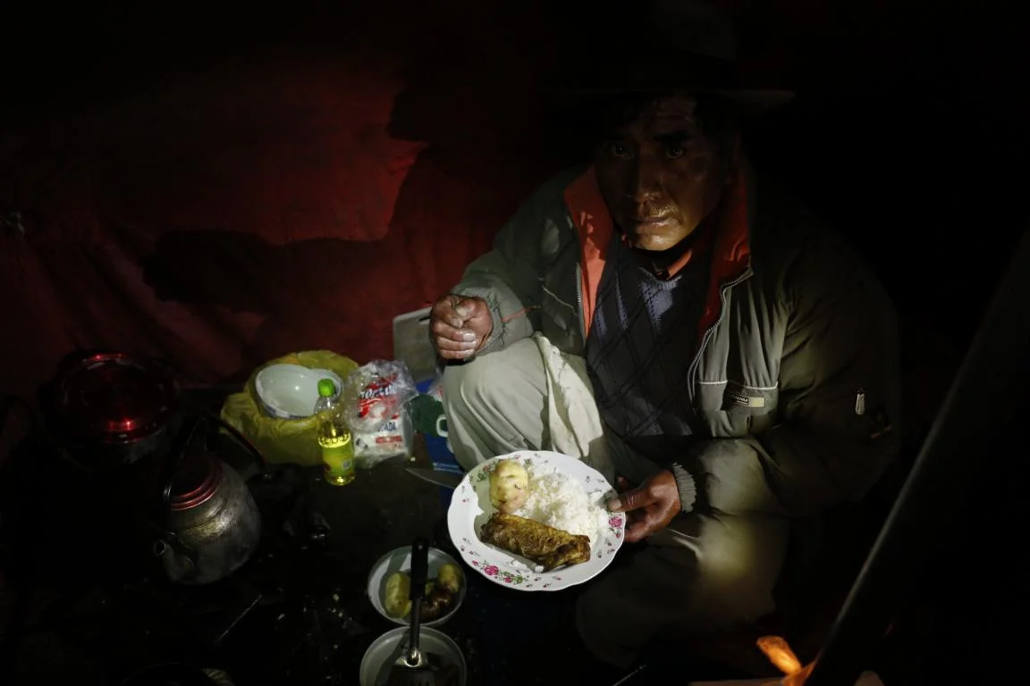
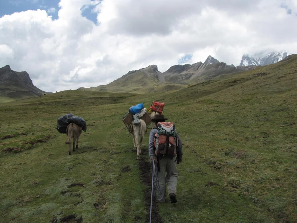
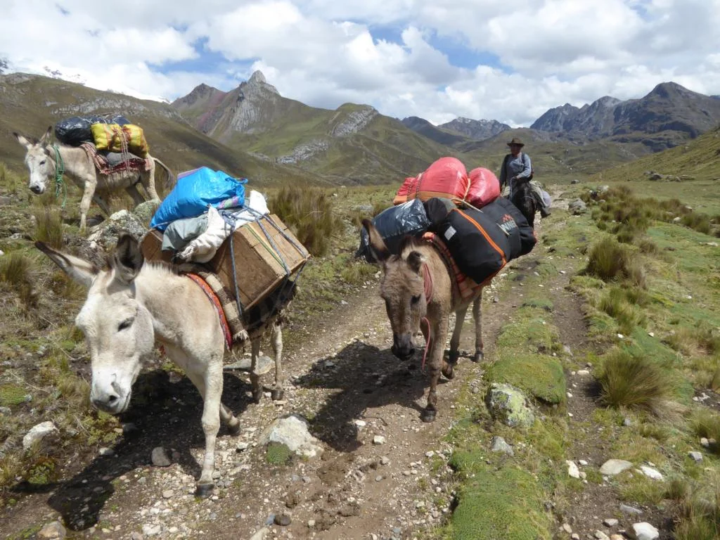
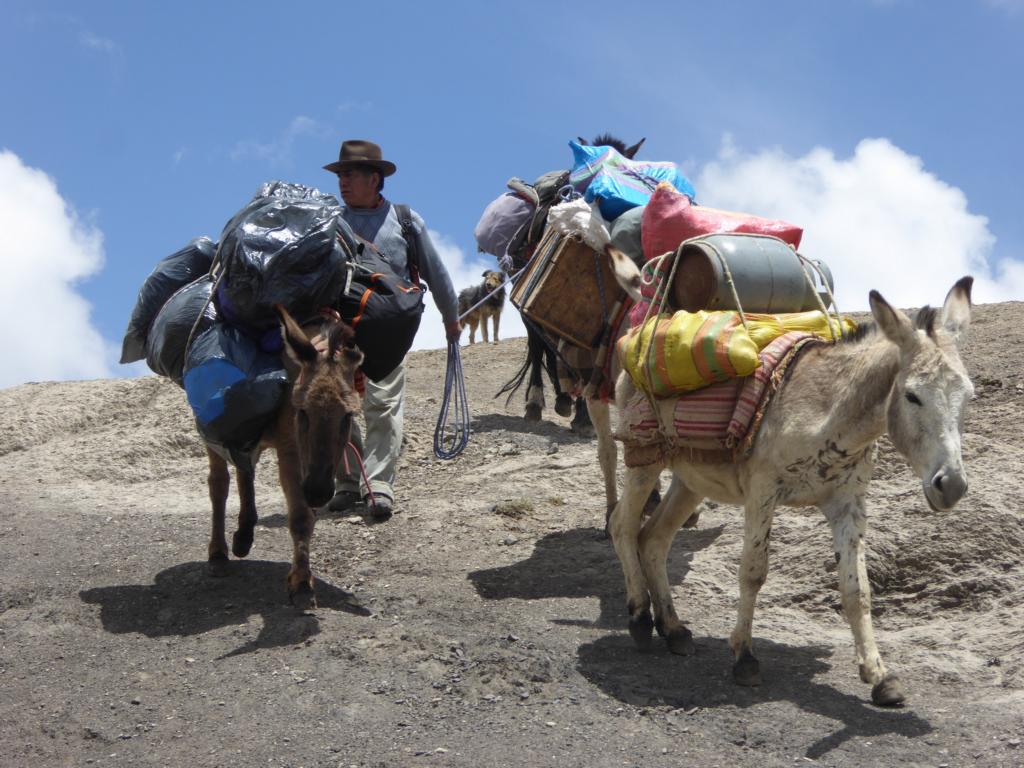
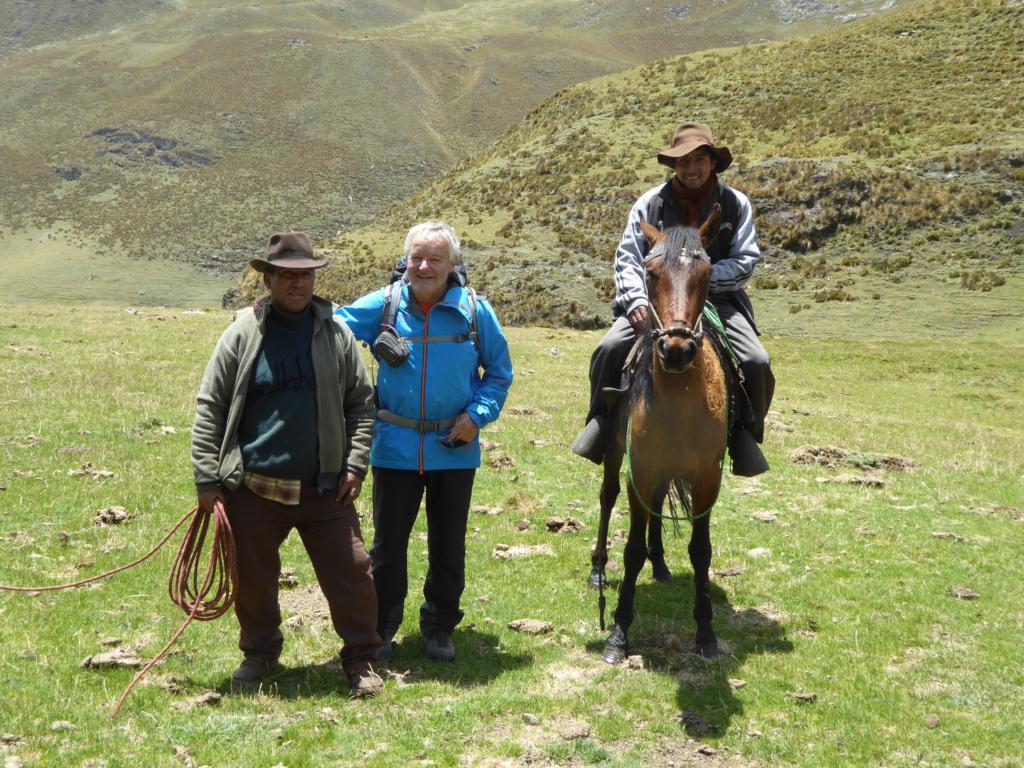
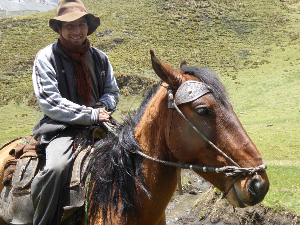
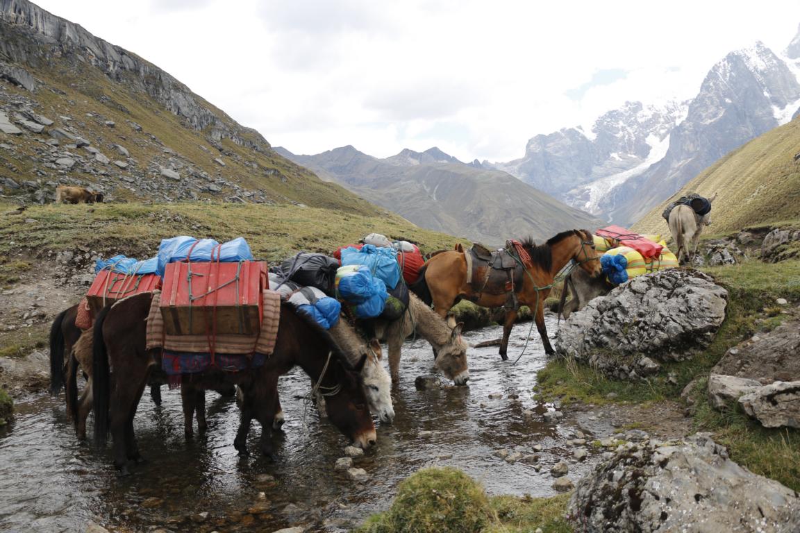
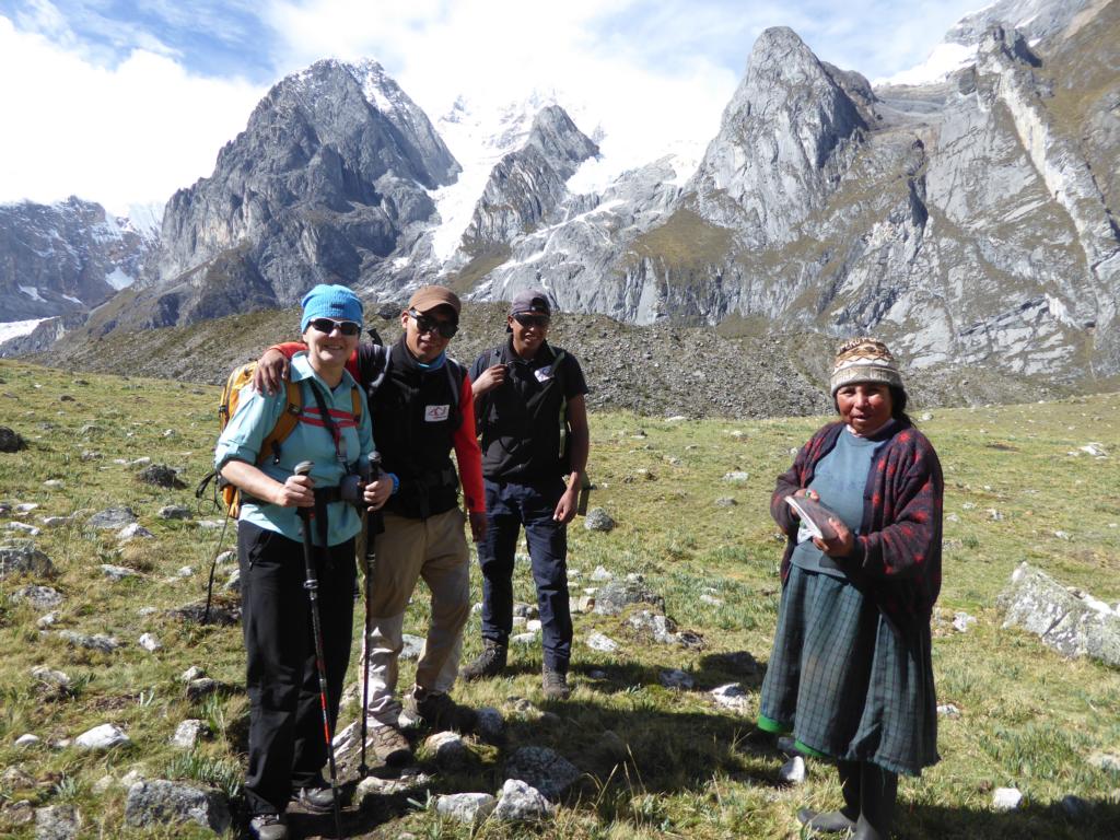
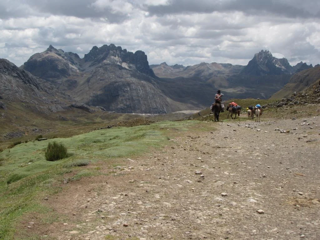
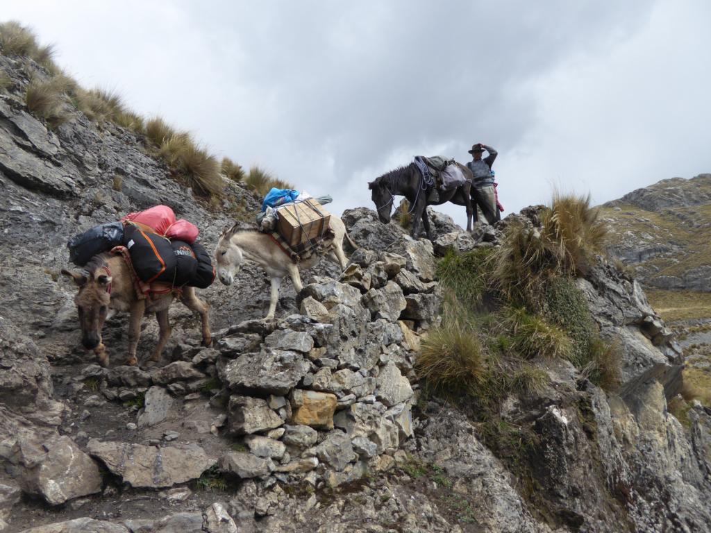
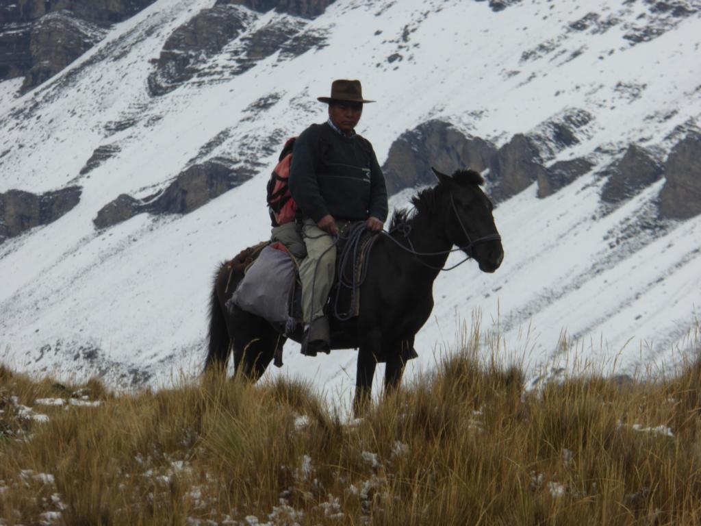
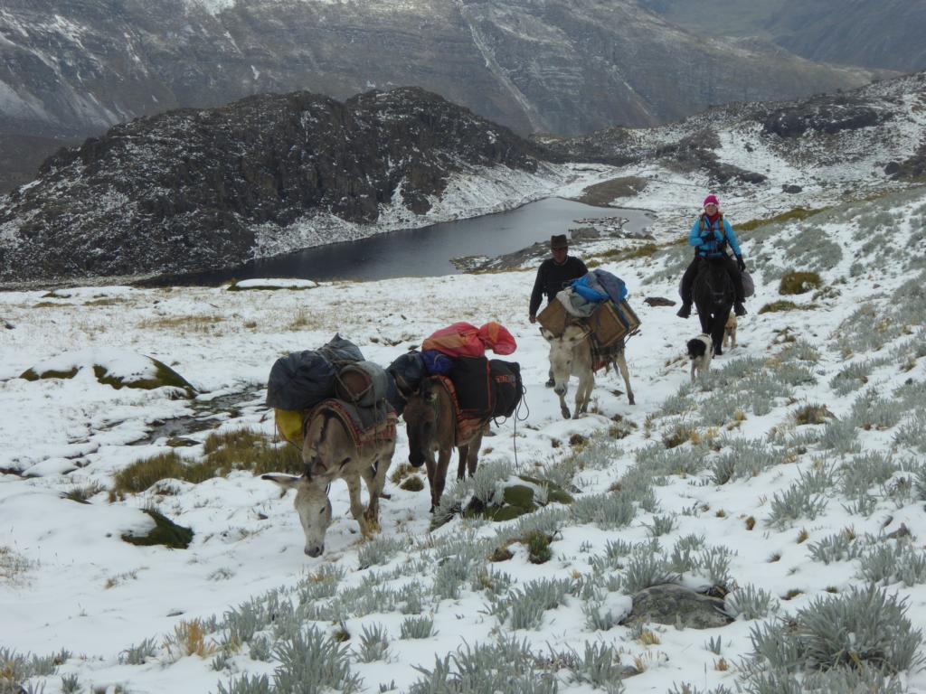
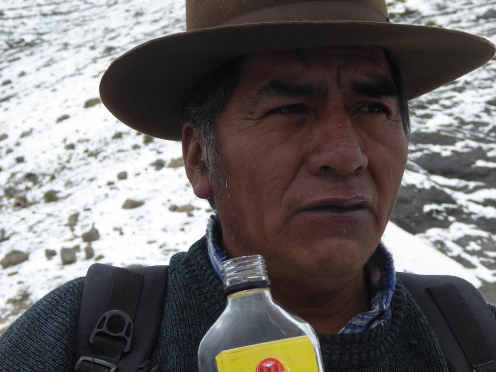
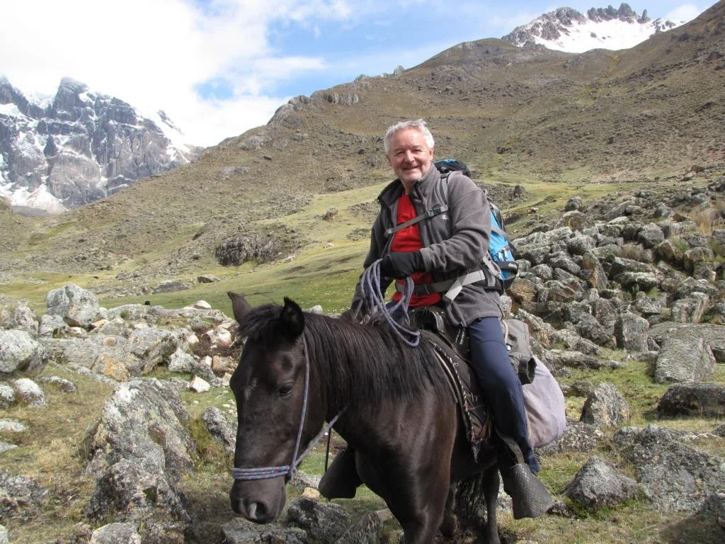
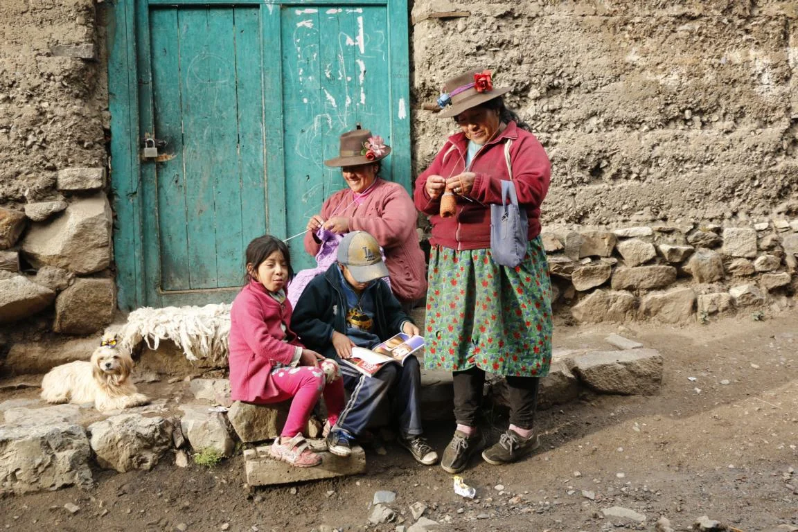
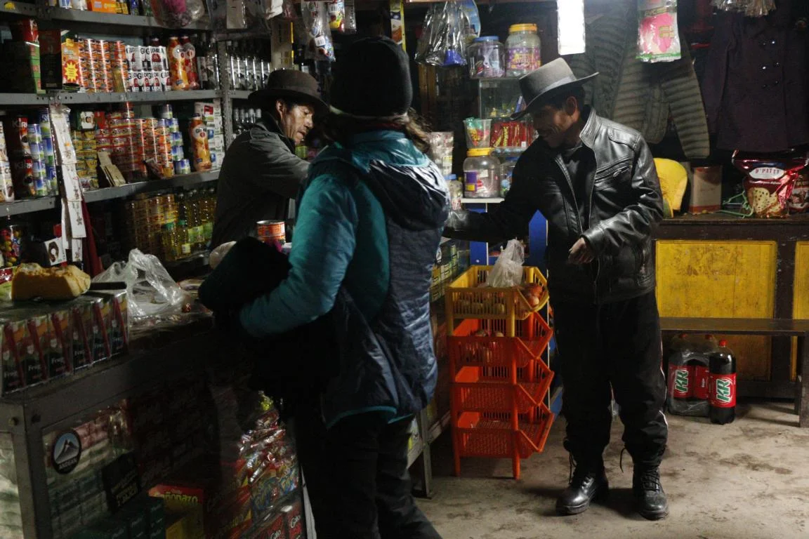
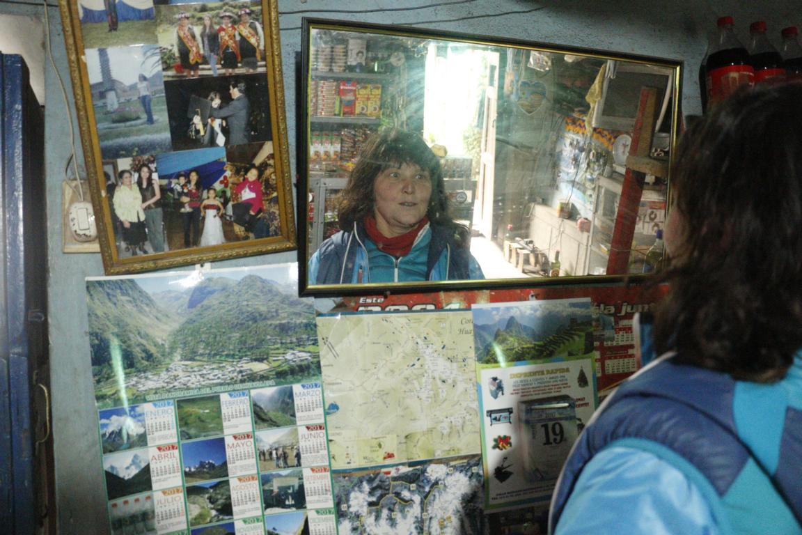
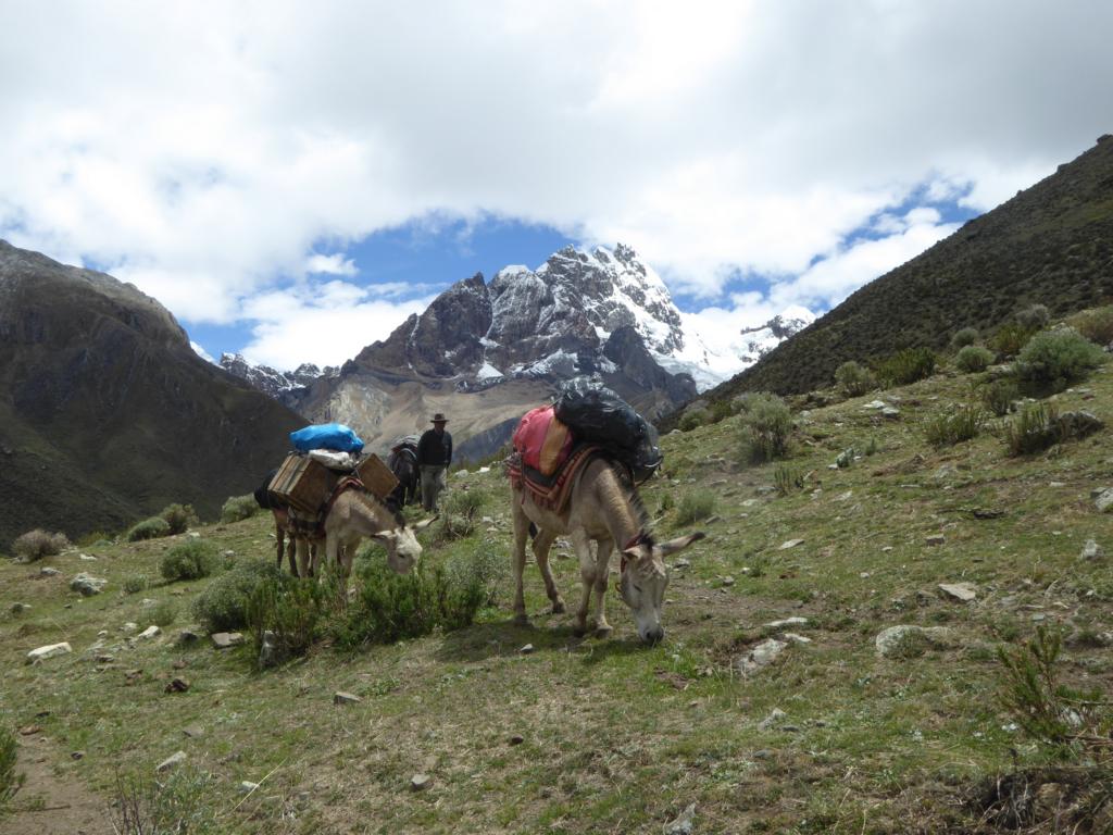
We started our journey in the town of Chiquian, where we met Mr. Joel Carrera Sanchez (menfredi10@hotmail.com; cell. 942417511). He functioned as guide, donkey driver and cook and did a marvelous job.
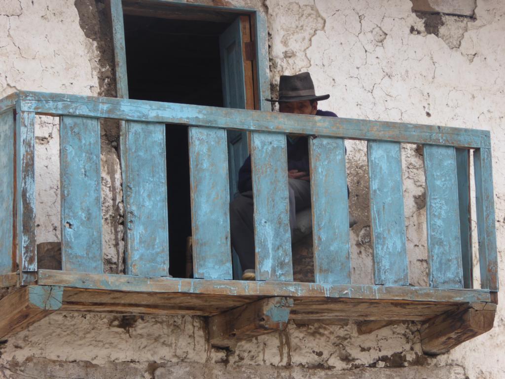
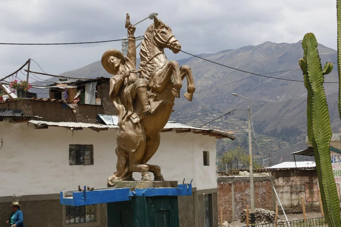
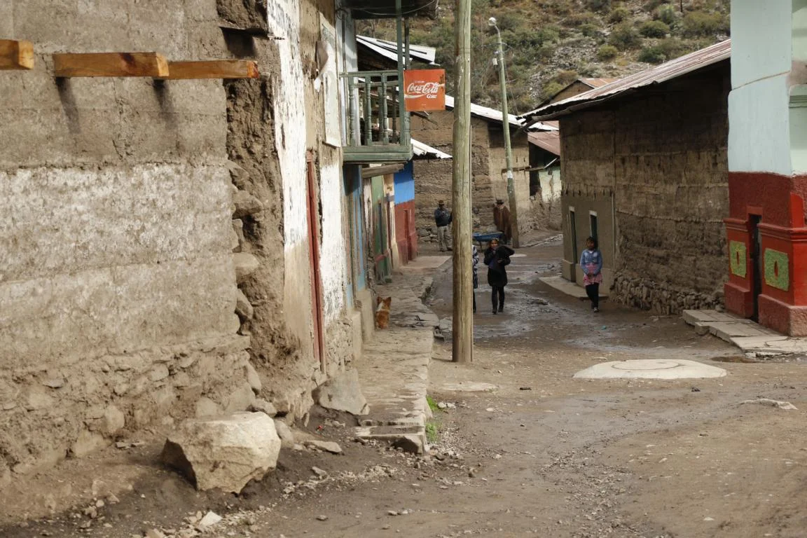
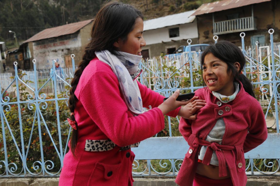
Chiquian is a small mountain town which was home to famous Luis Pardo, a Robin-Hood-type social rebel and outlaw / bandolero who defended the rights of impoverished rural workers and farmers. He finally was caught and killed by the gendarmery in 1909. Some years ago – as a matter of gratitude - people of Chiquian erected a monument for him.
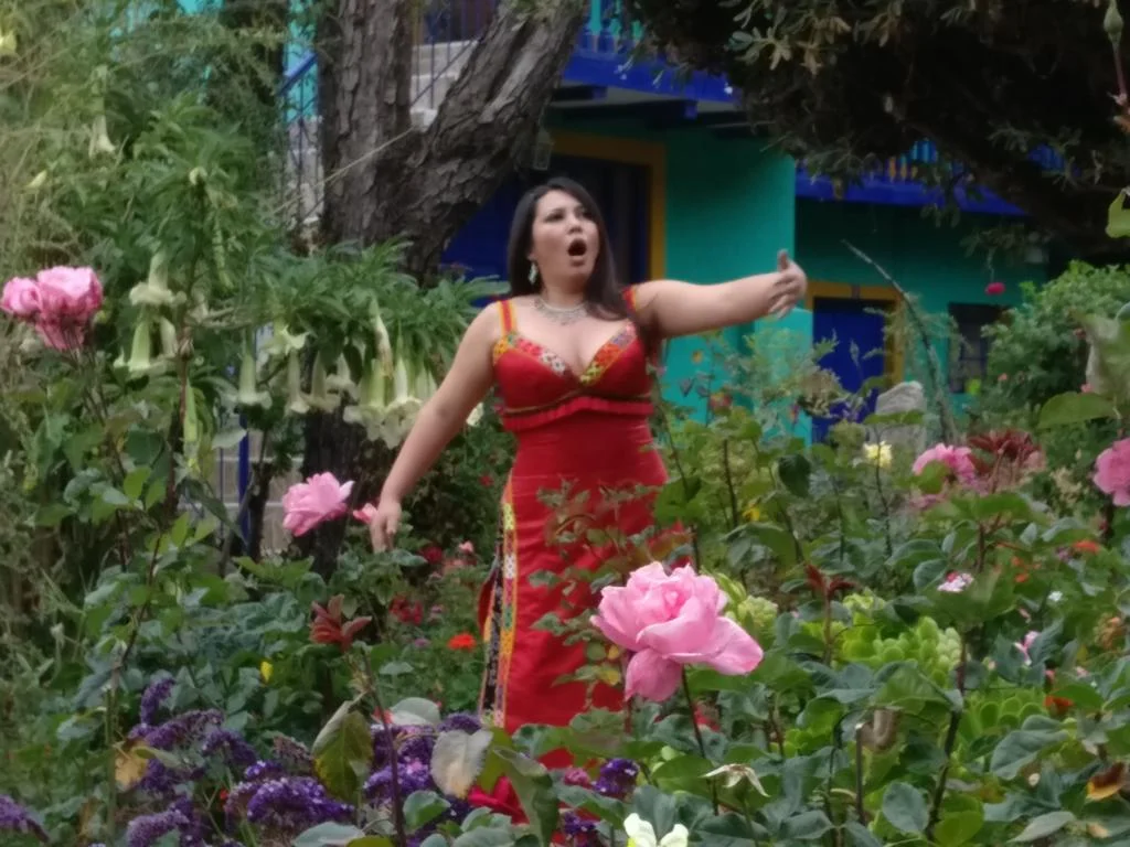
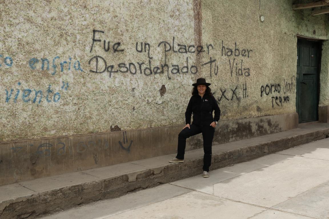
During our stay in a local hotel we had the pleasure to witness a local singer producing a video clip. The murals read: “It has been a pleasure having disordered your life”.
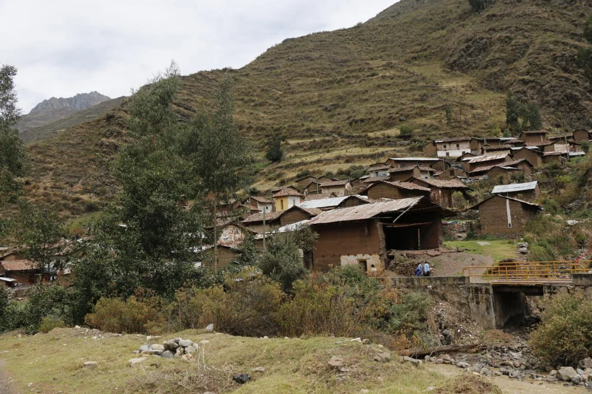
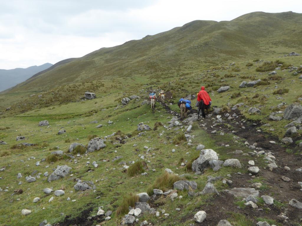
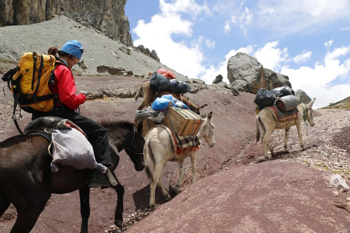
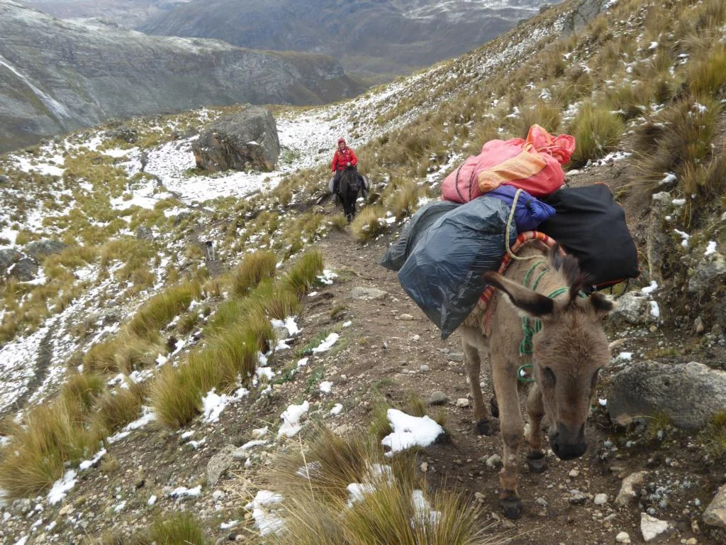
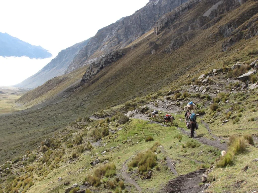
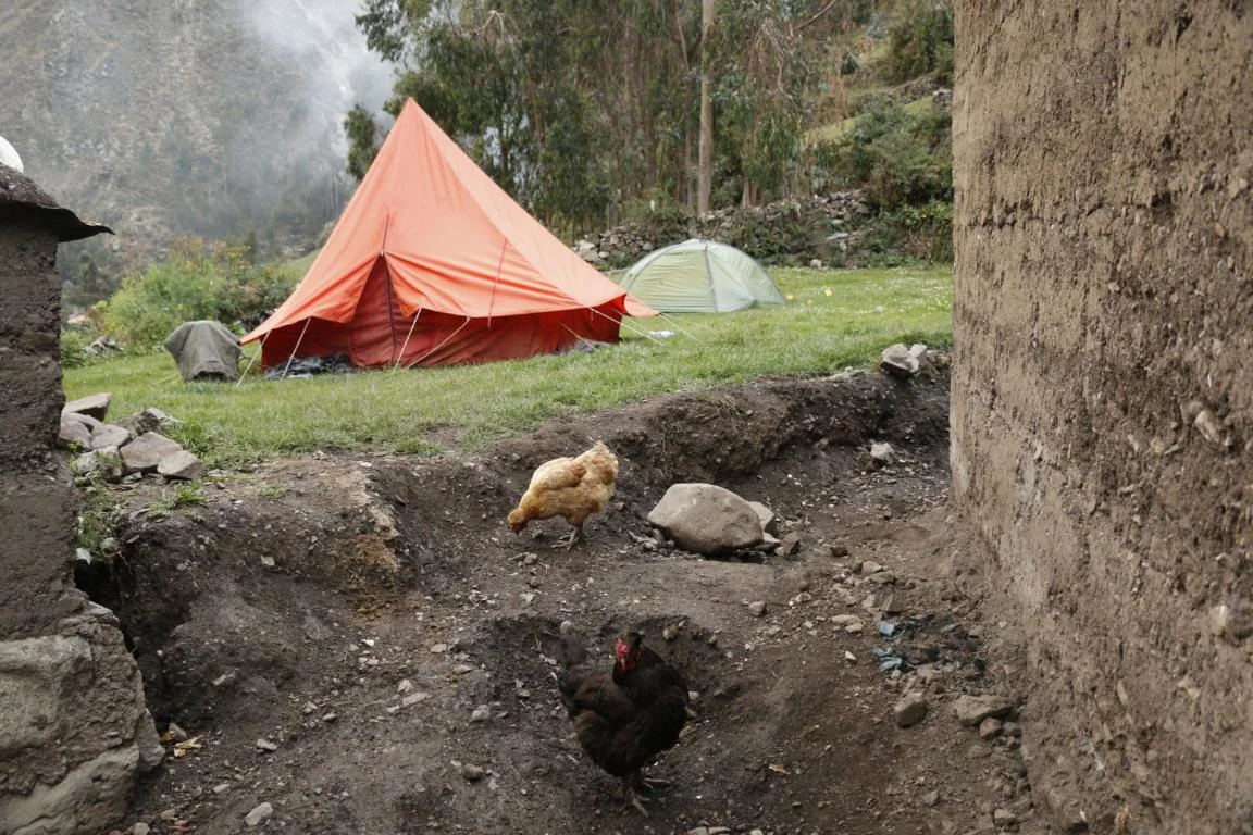
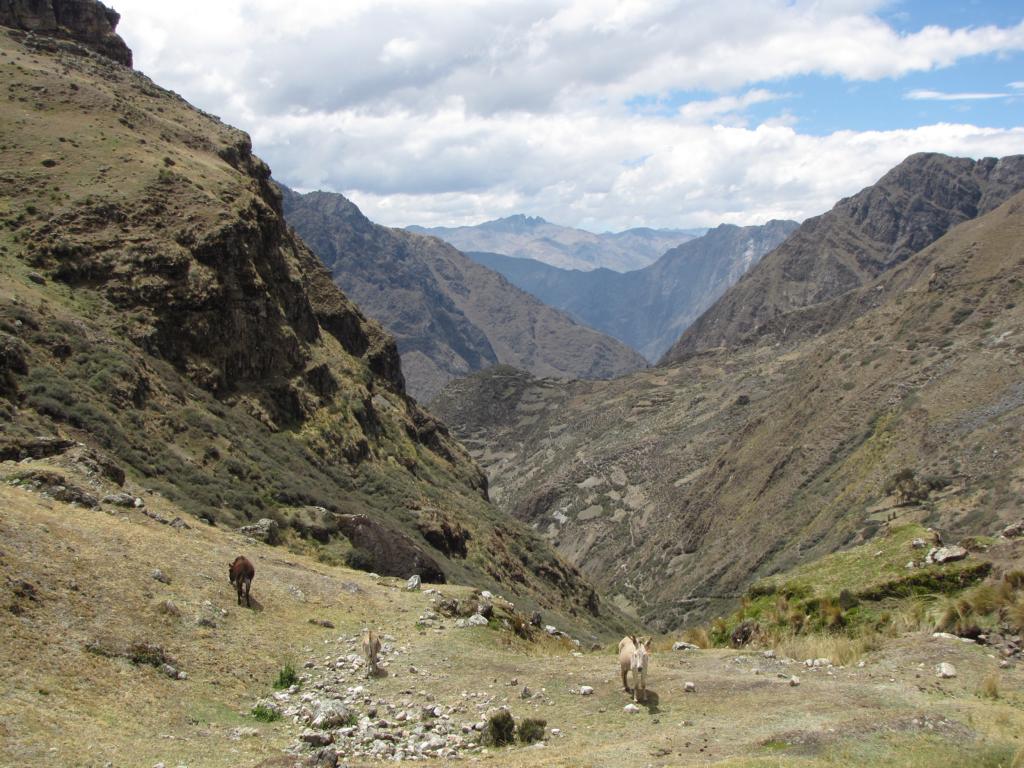
On Day 1 of out trek we drove to the small village of Palka where we put our equipment and food on three donkeys and a horse. The following hike took approx. six hours following the gravel road of a mining company. Pitching up the tent we realized that during night temperature fell below zero-degree C.
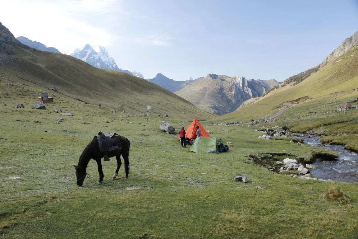
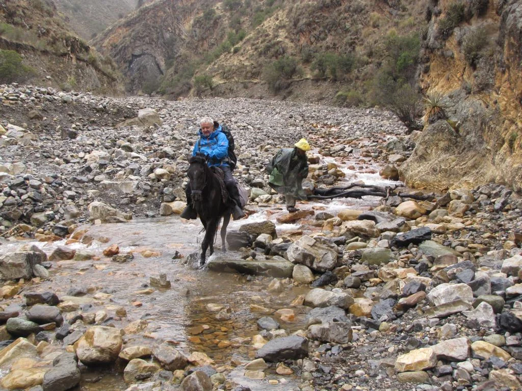
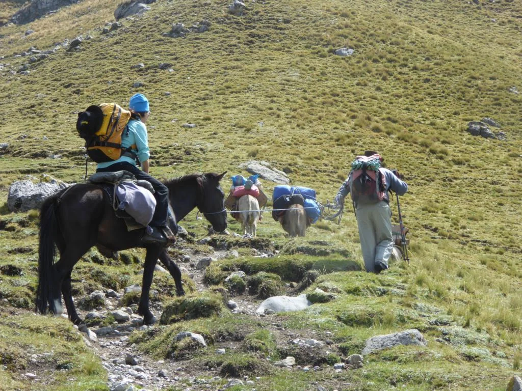
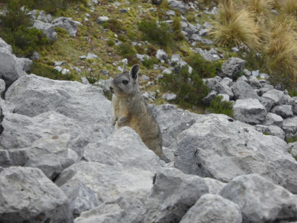
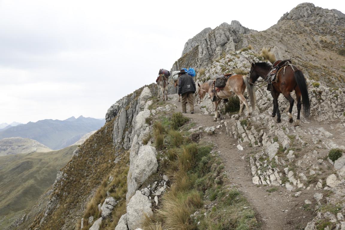
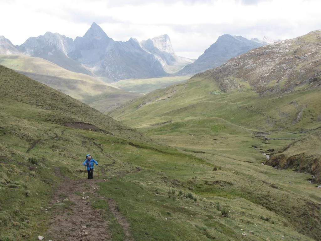
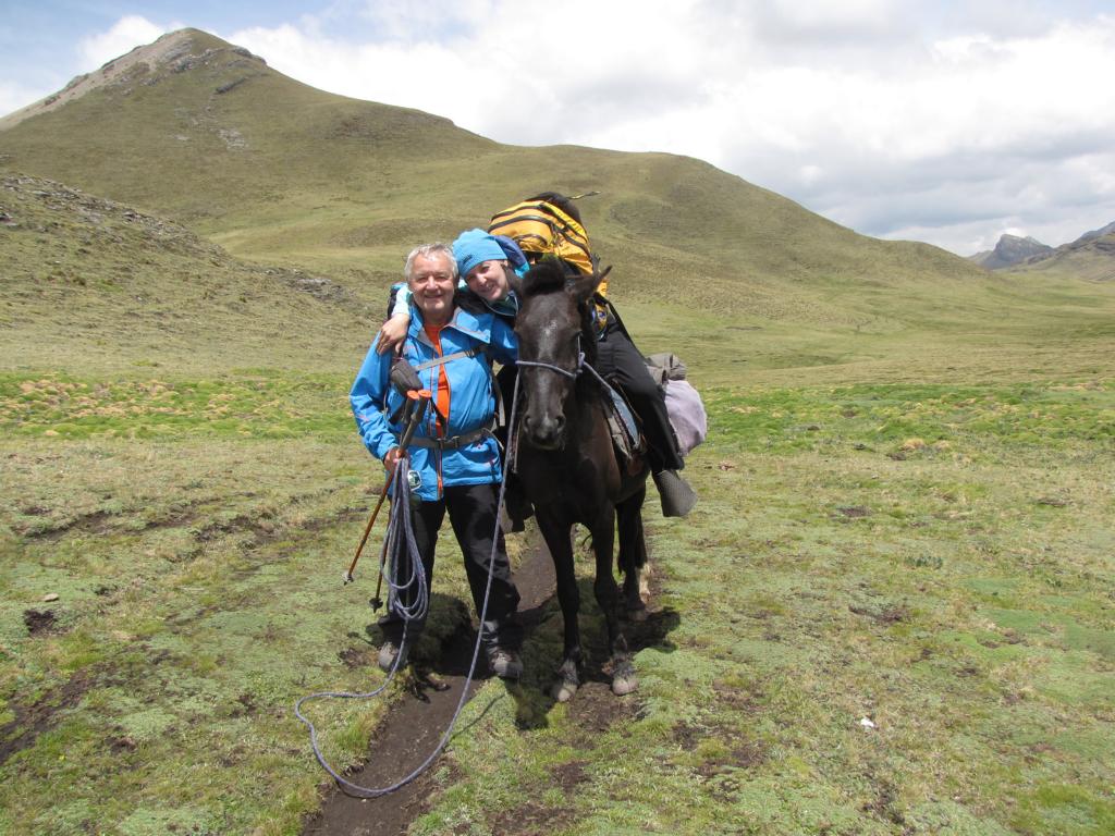
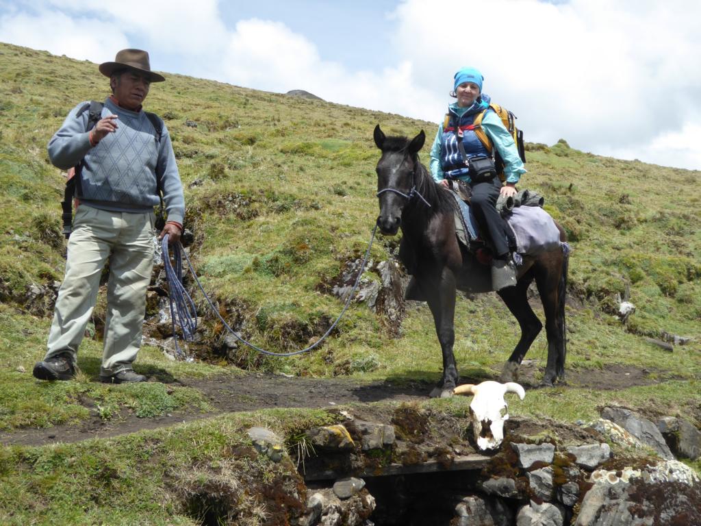
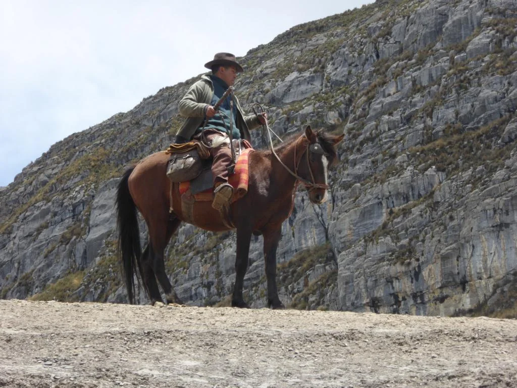
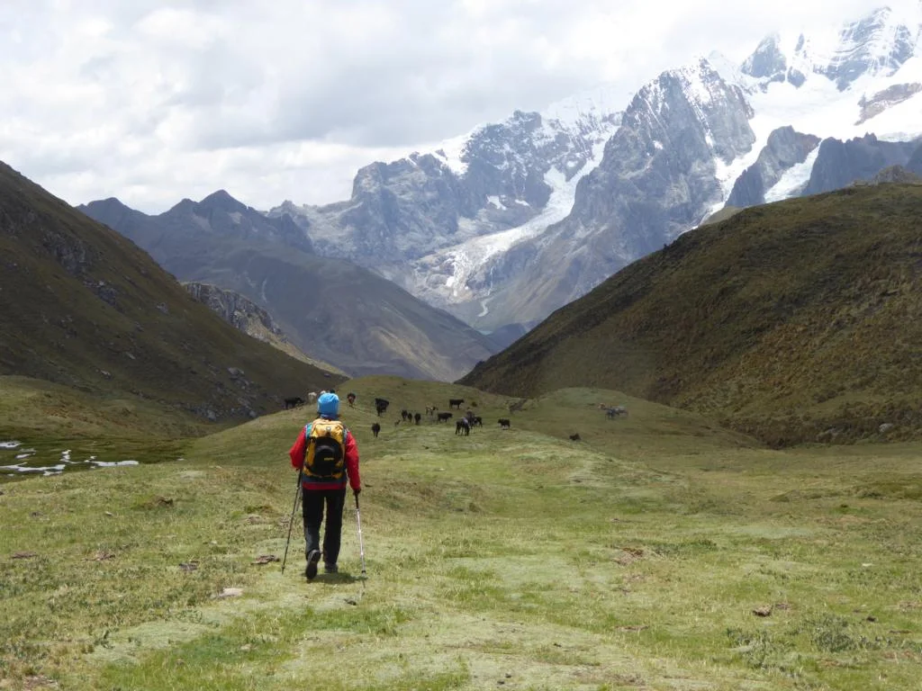
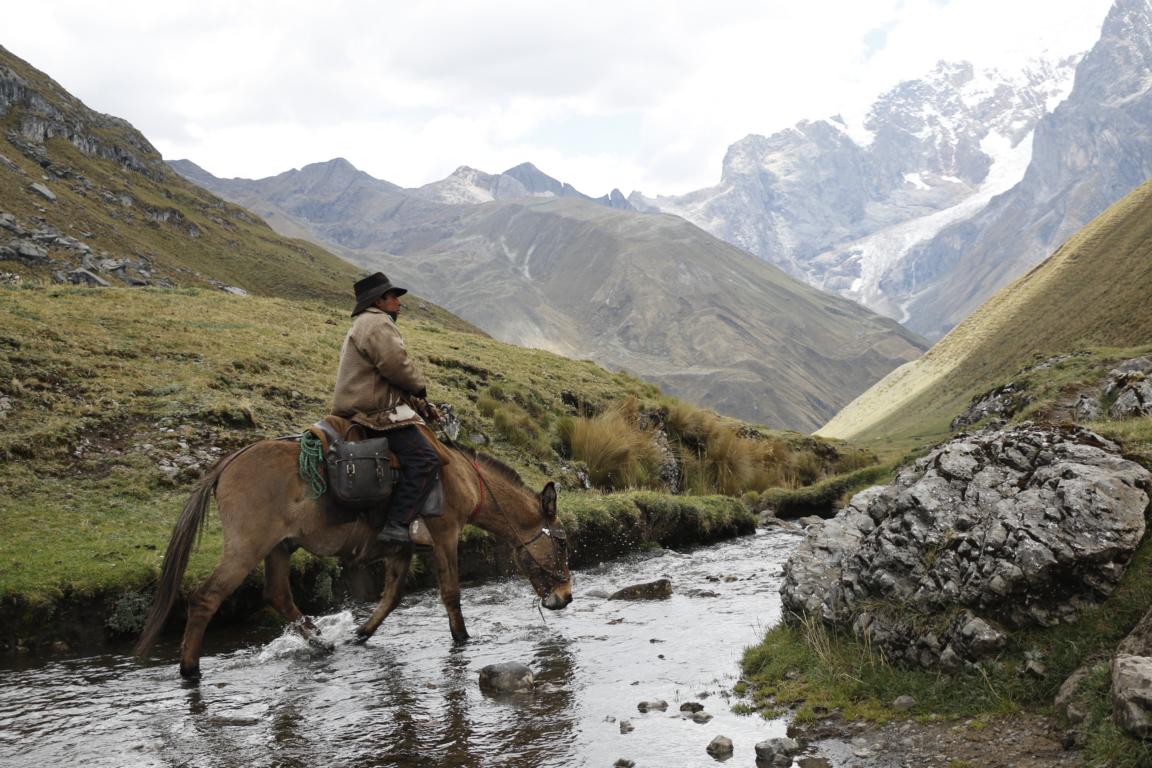
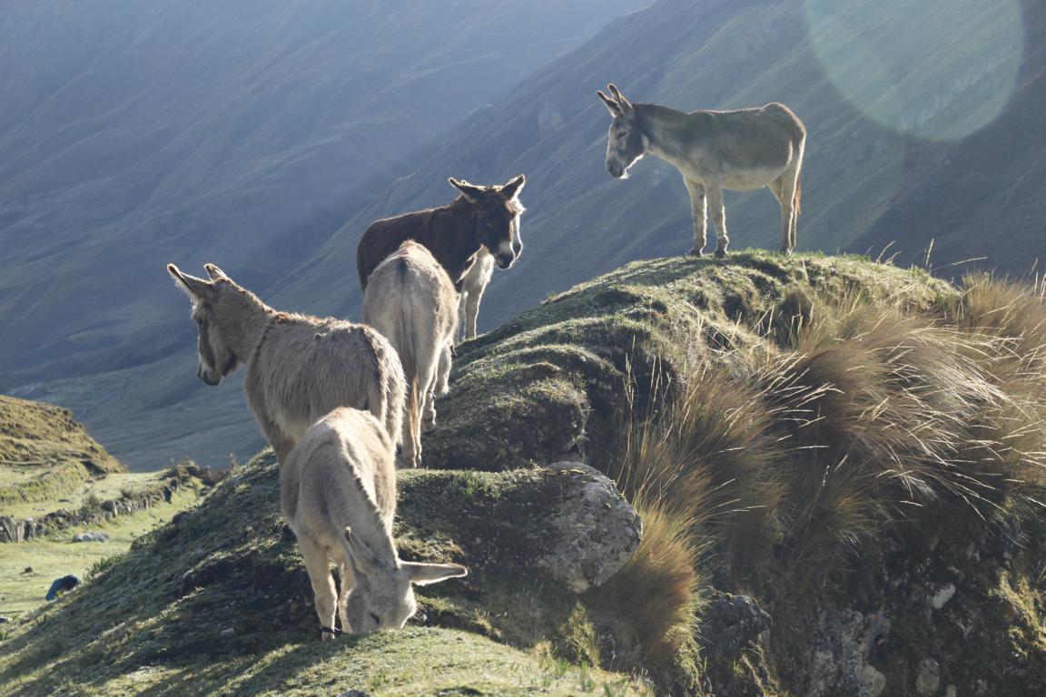
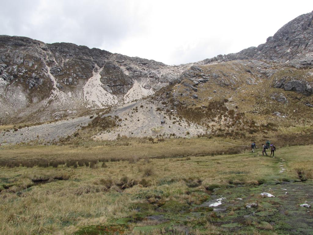
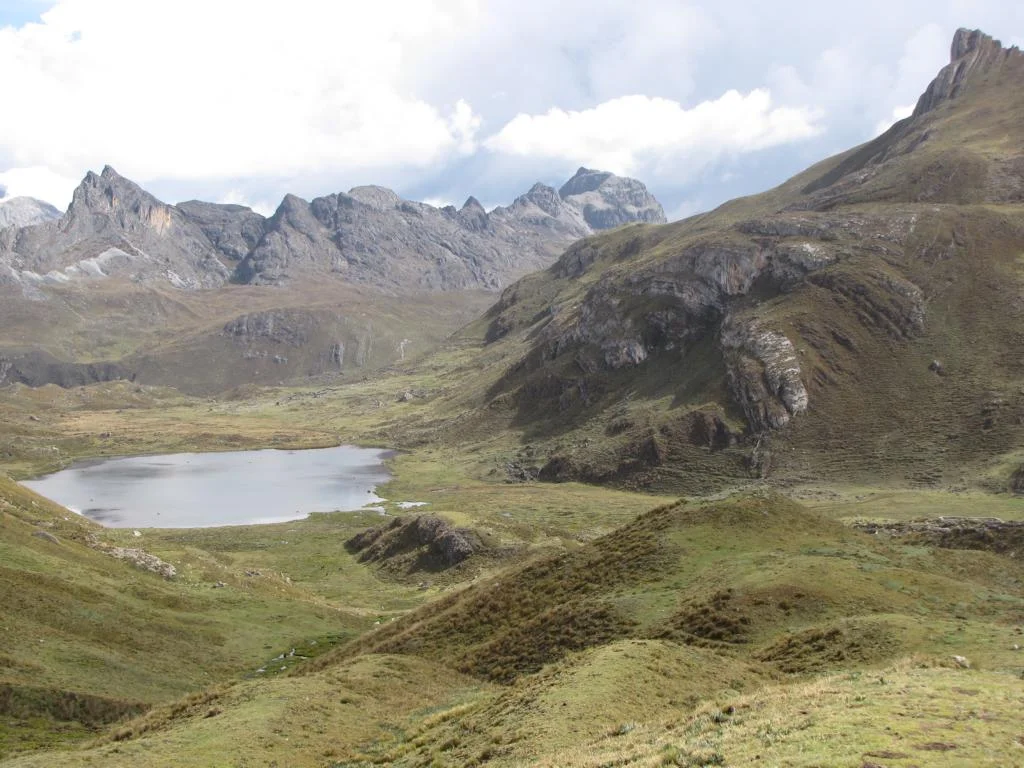
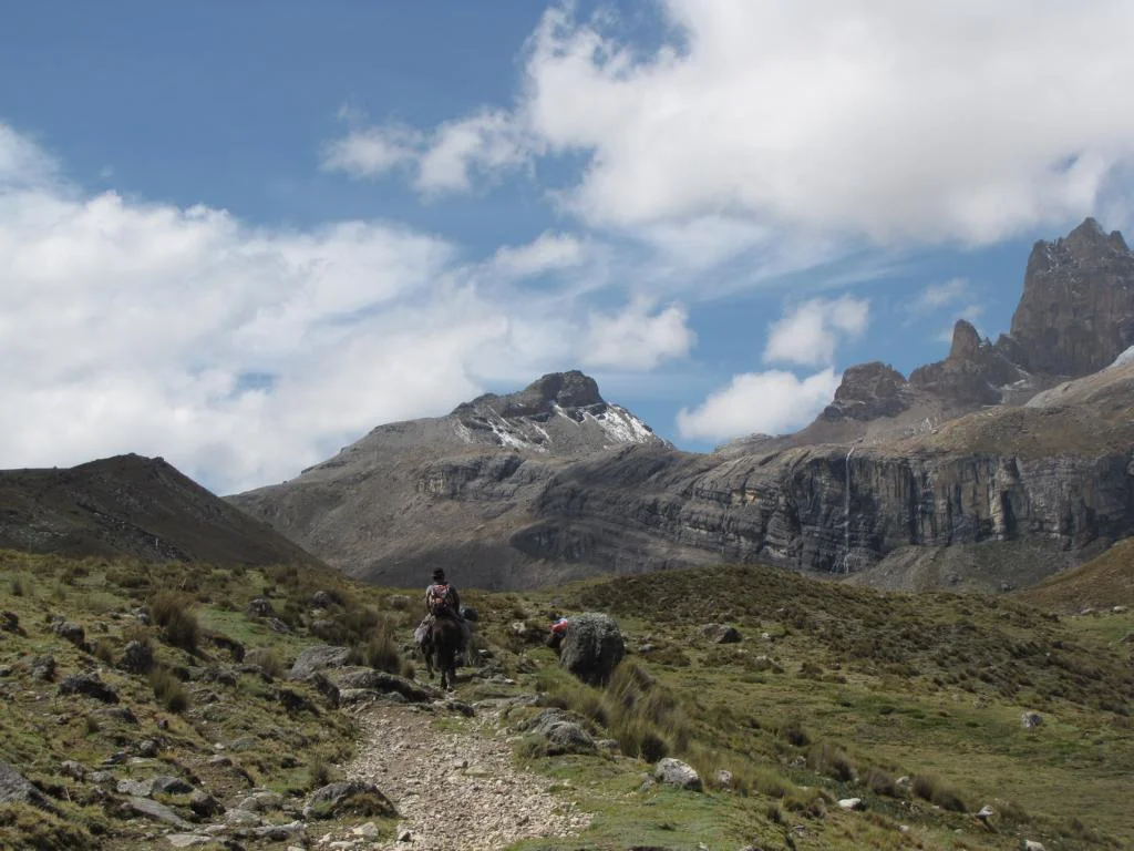
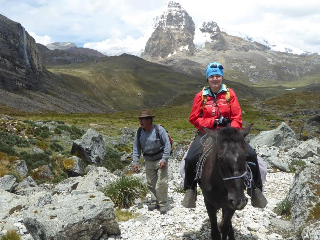
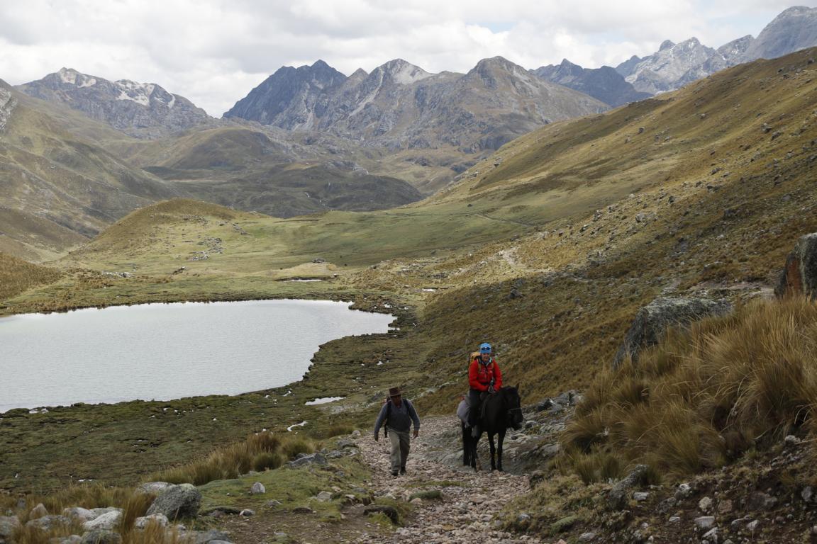
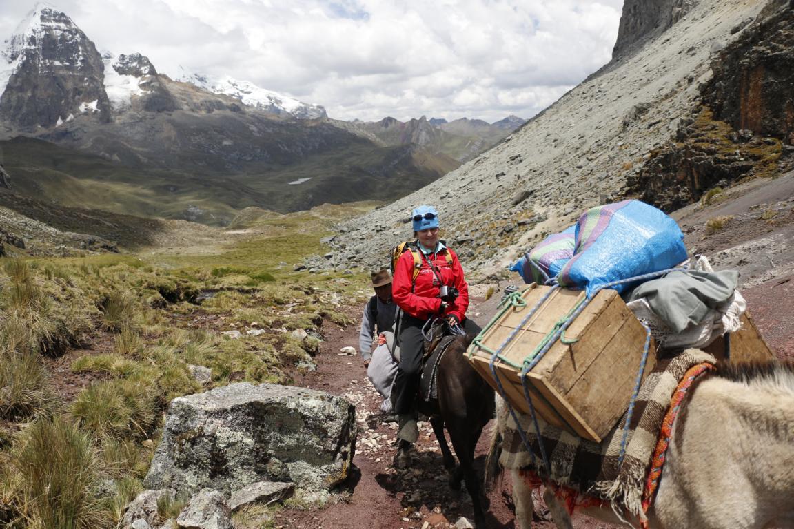
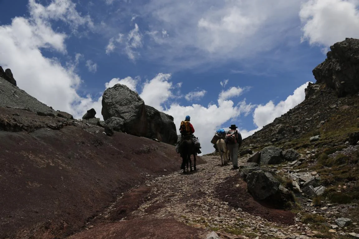
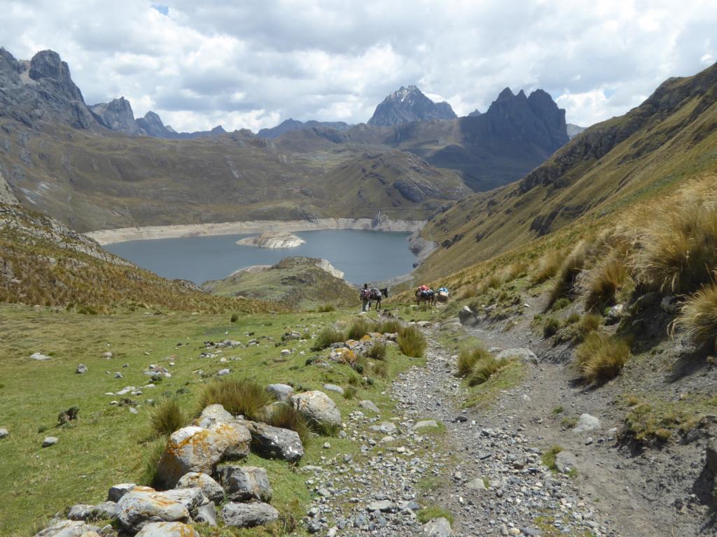
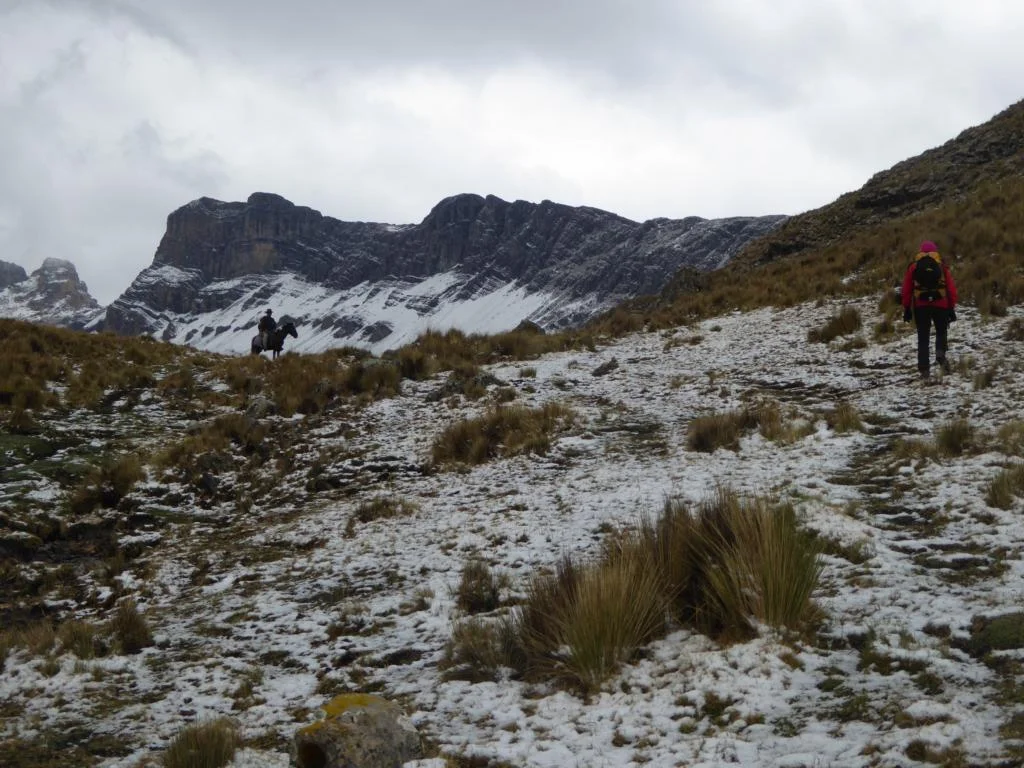
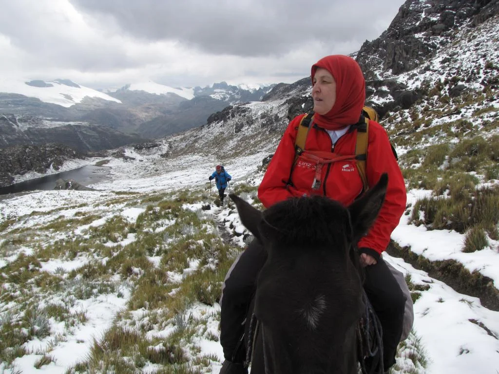
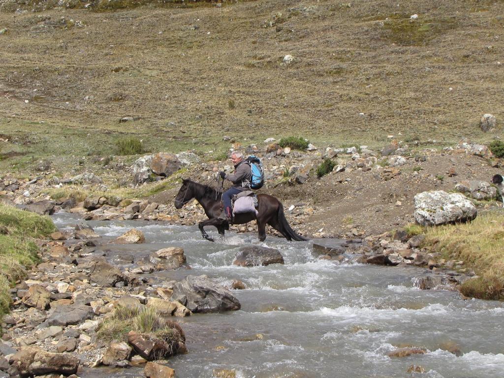
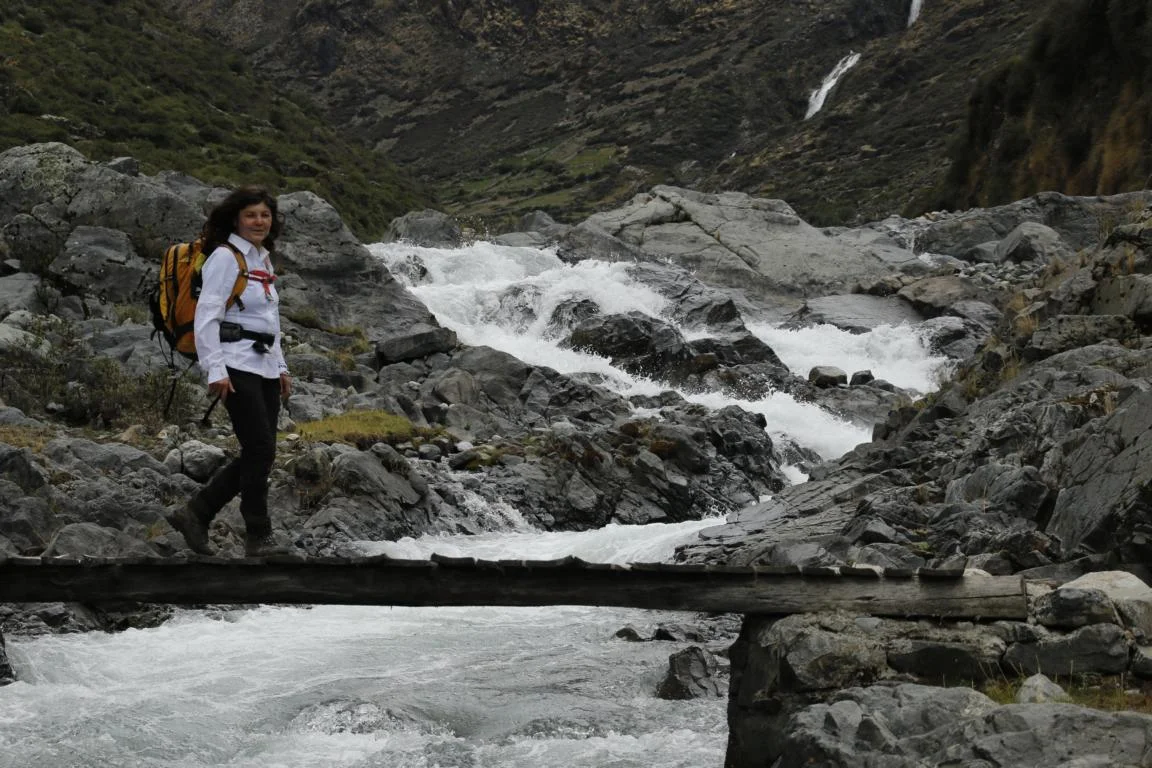
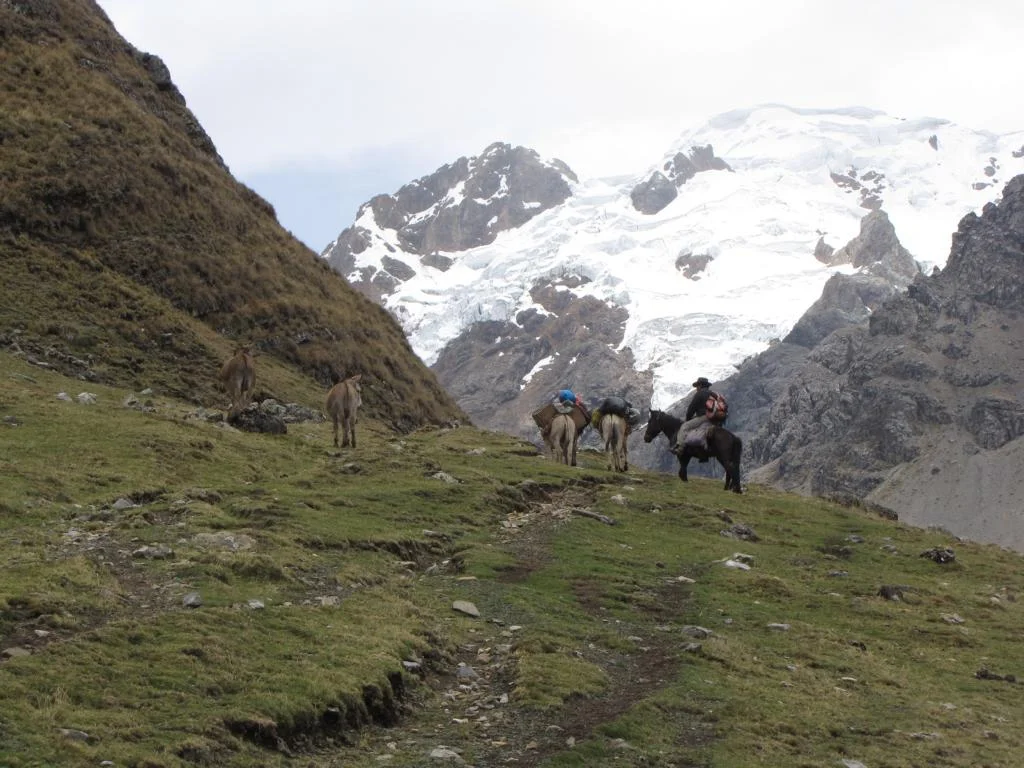
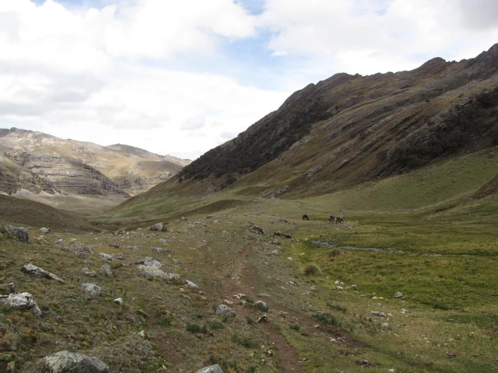
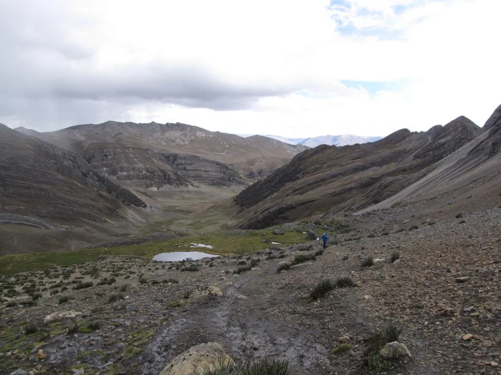
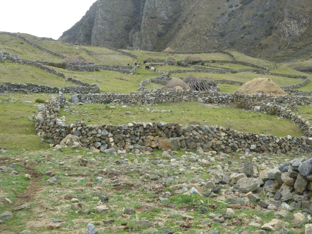
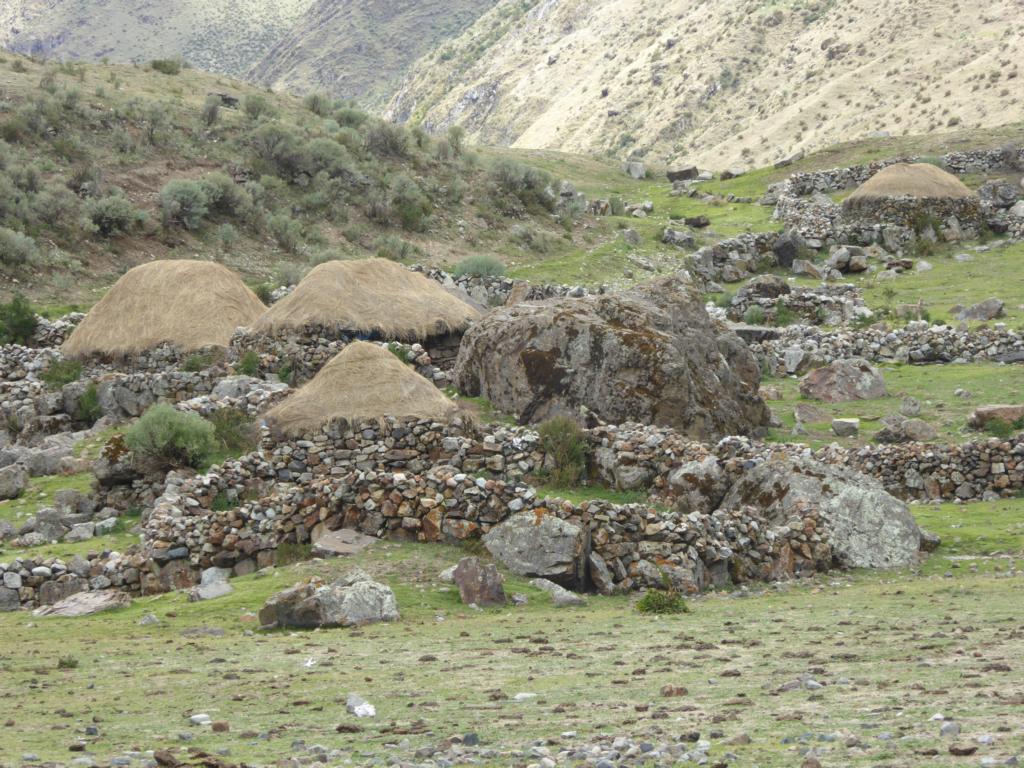
The trail of day 2 led over the 4,700m high Cacanan Pass to the Laguna Mitococha. There we realize that it is only the tourists who walk – the local population uses horses. Doing the circuit by horse might be a nice alternative.
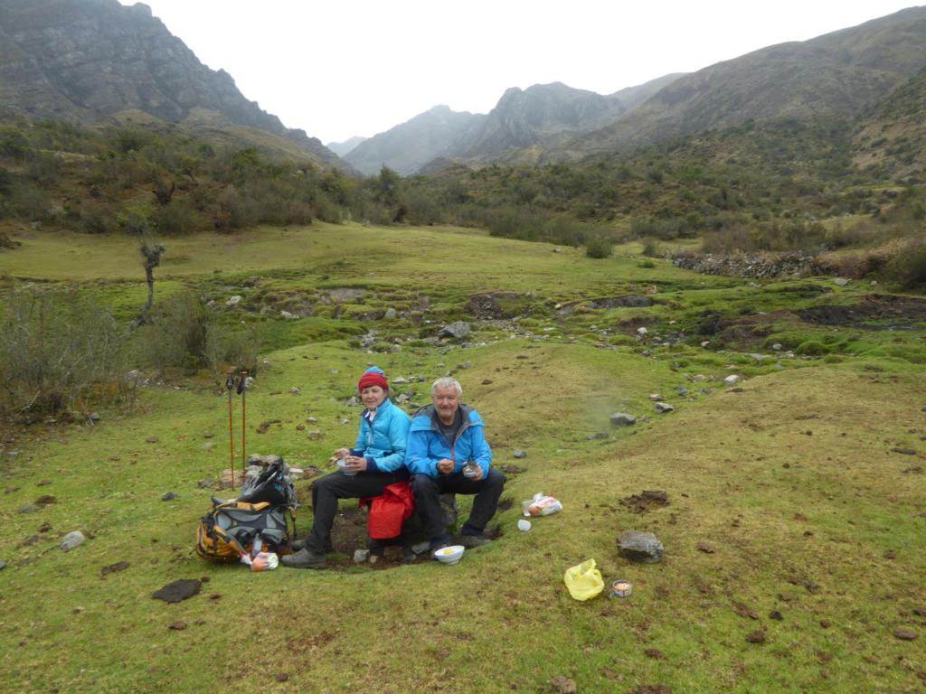
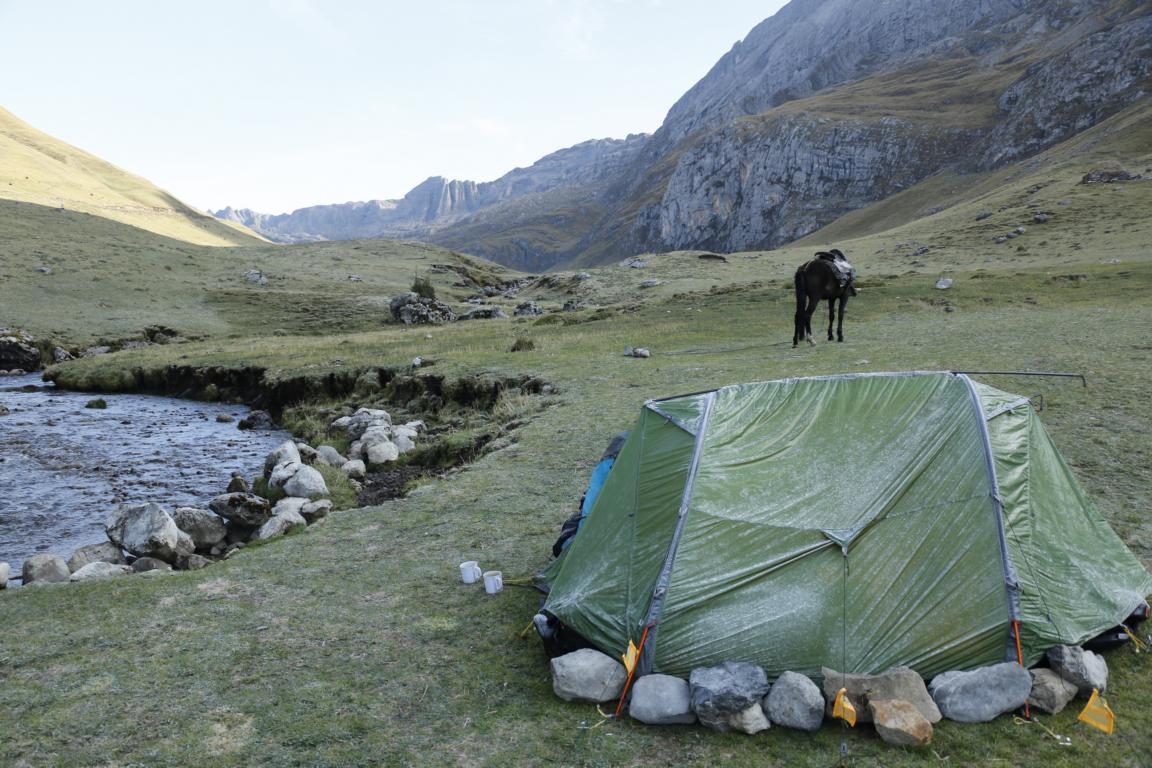
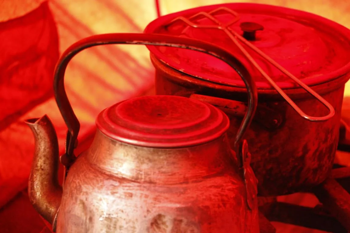
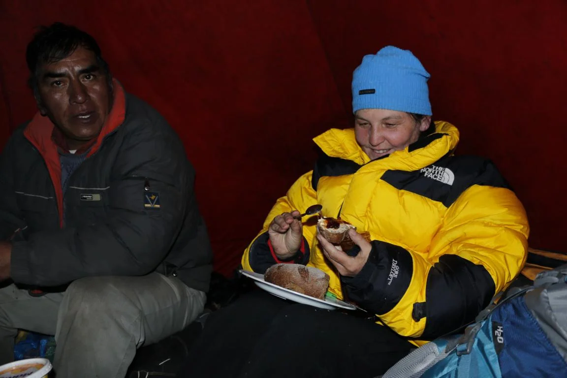
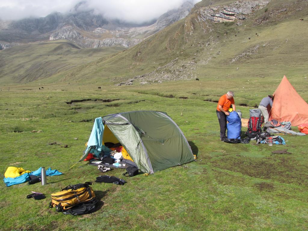
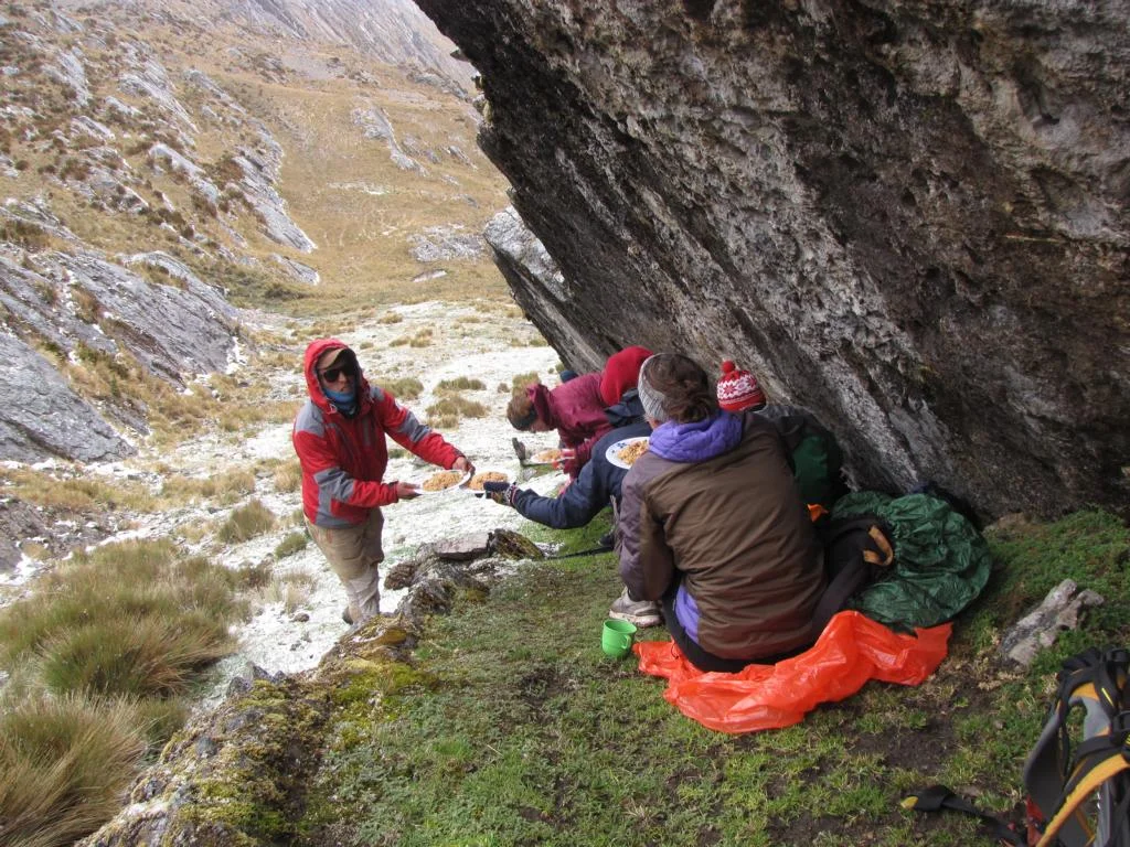
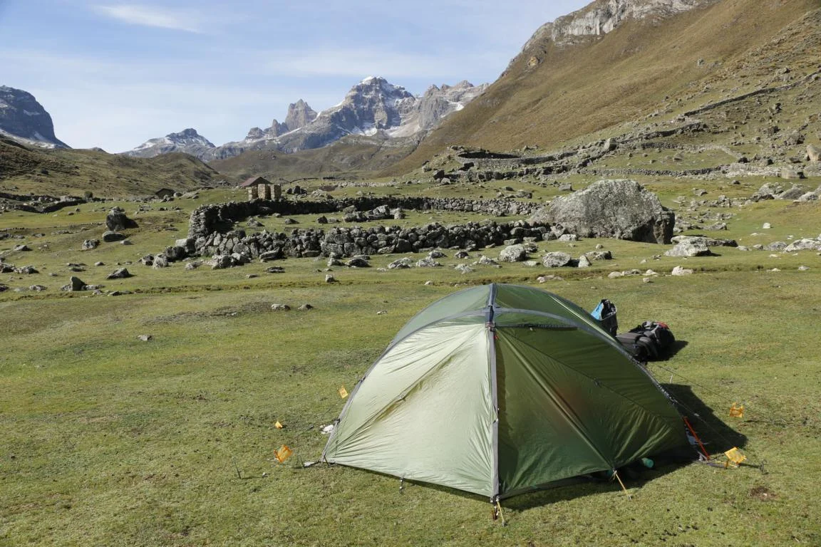
Usually our meals were prepared by Joel on a gas cooker in the kitchen tent which also served as our “social room”.

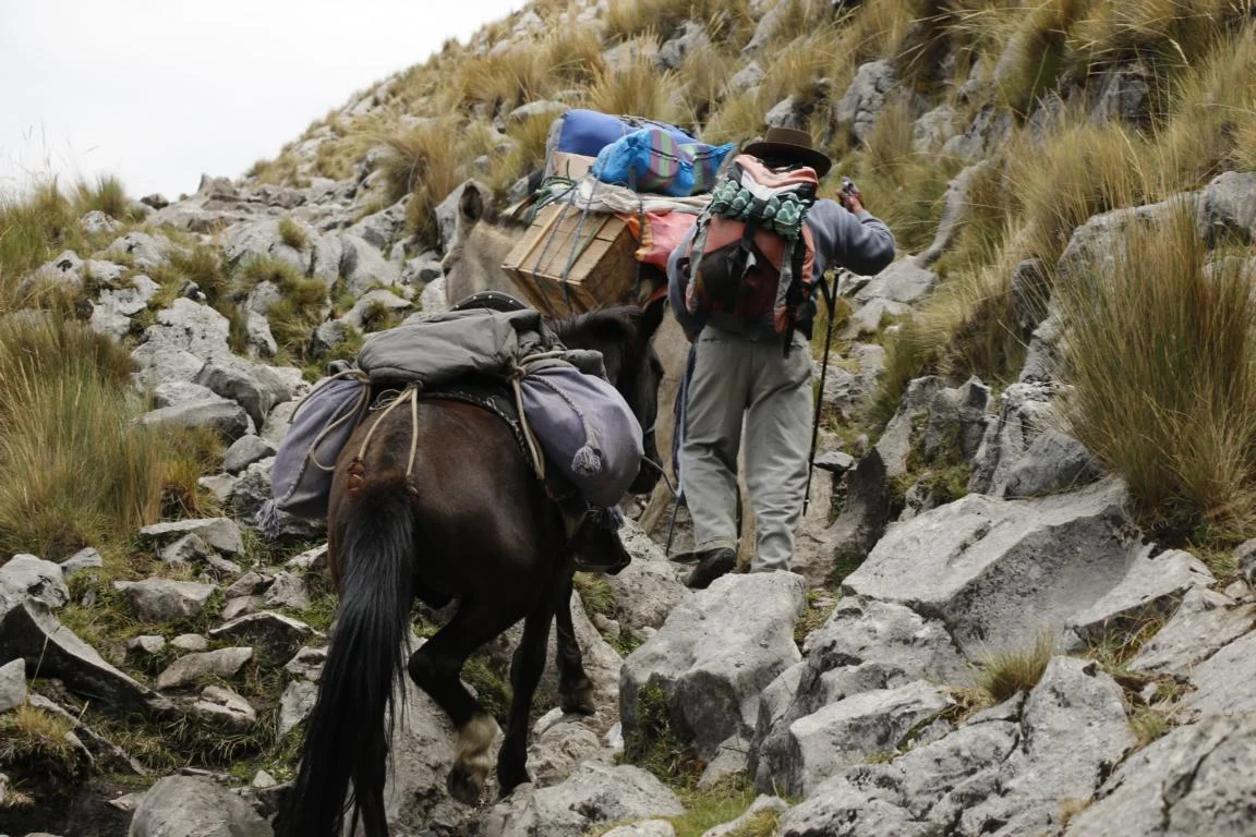
On day 3 we crossed the Carhuac Pass (4,700m) and moved to Laguna Carhuacocha. Slowly we got familiar with our daily routine of getting up at 06.00 starting the day with a cup of Mate de Coca still in the tent, then having breakfast, putting down the tent, packing our belongings and commencing the hike.
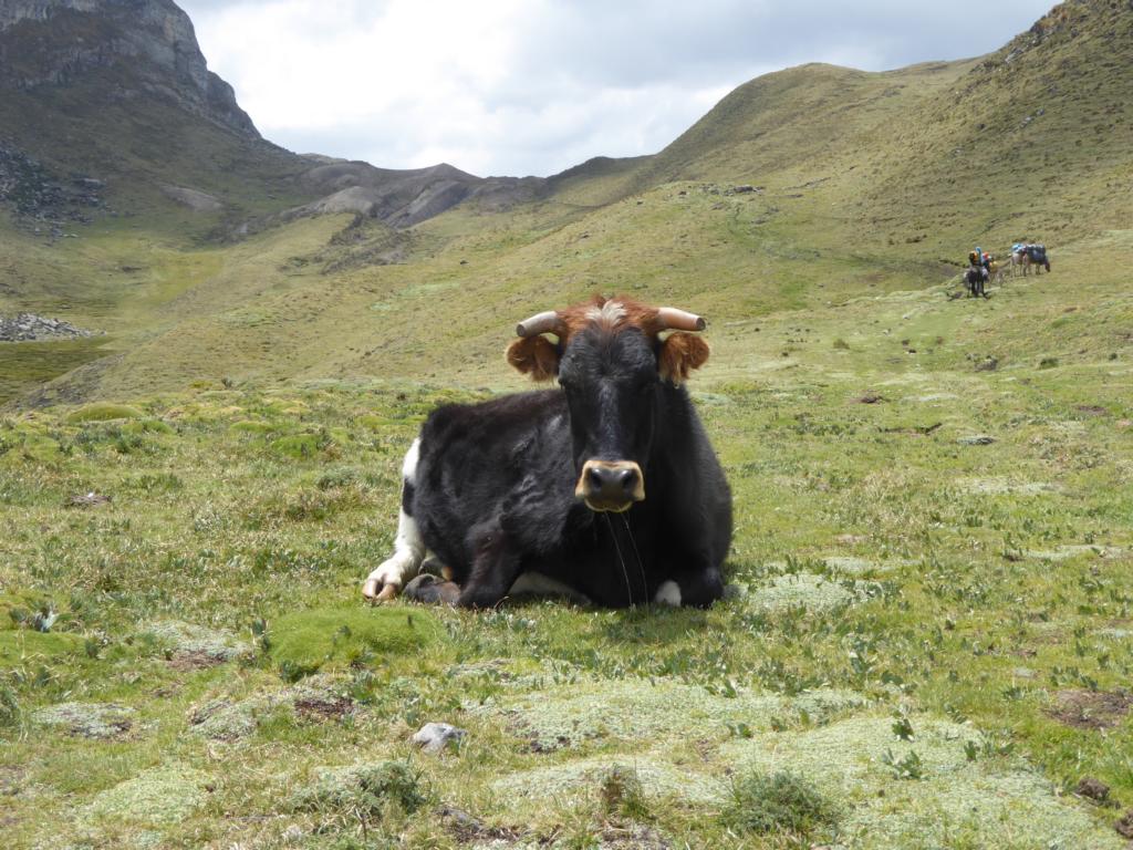
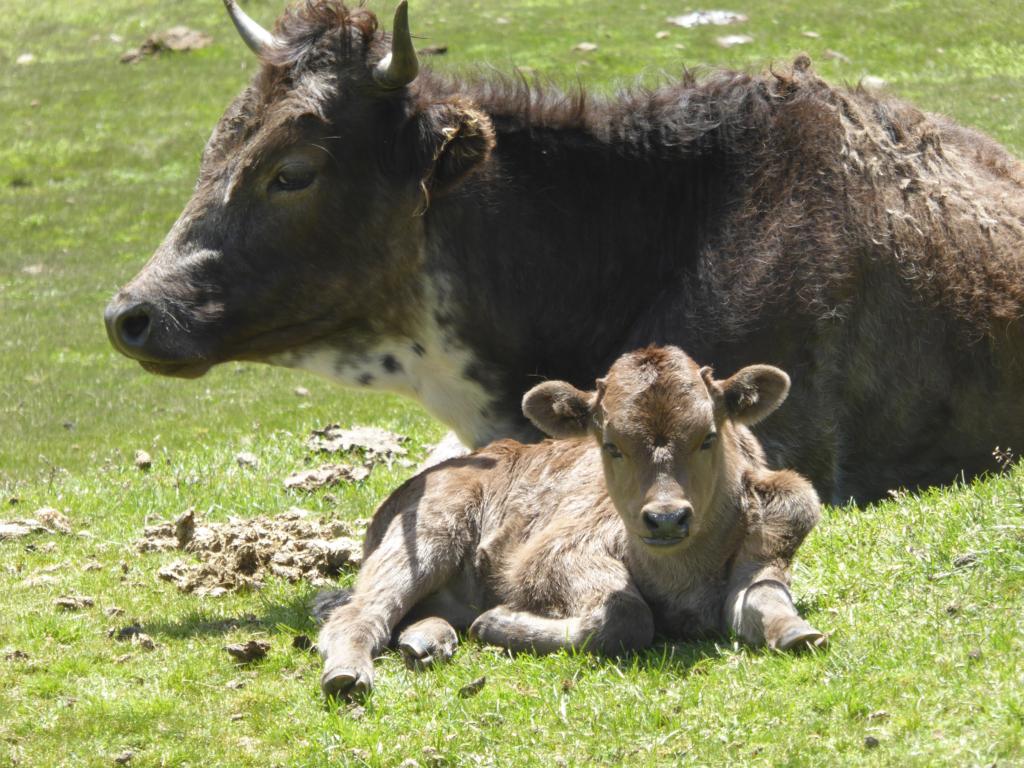
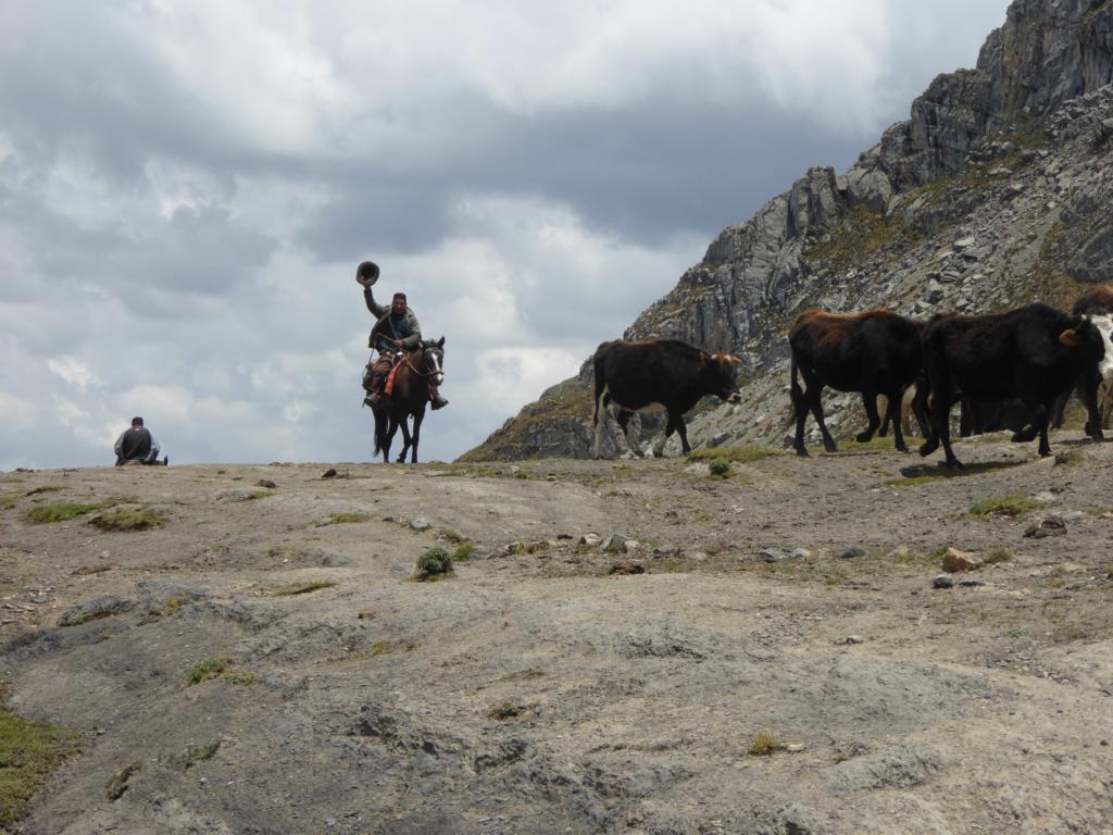
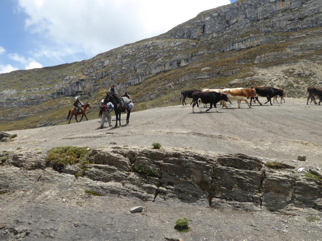
On the pass we met a group of gauchos who were driving cattle to grazing areas on the other side of the mountain.
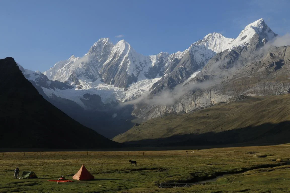
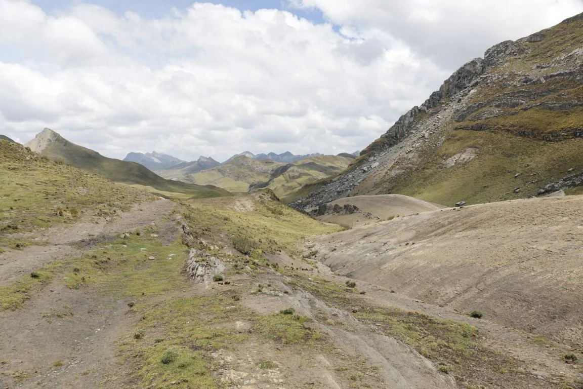
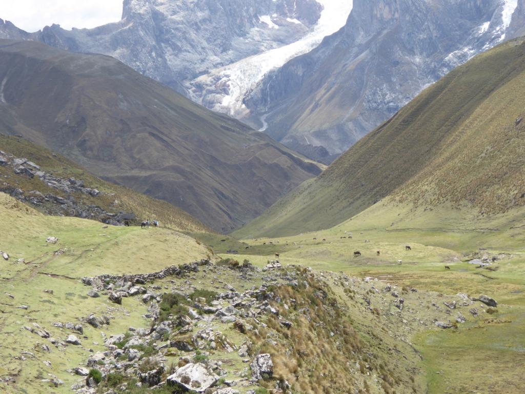
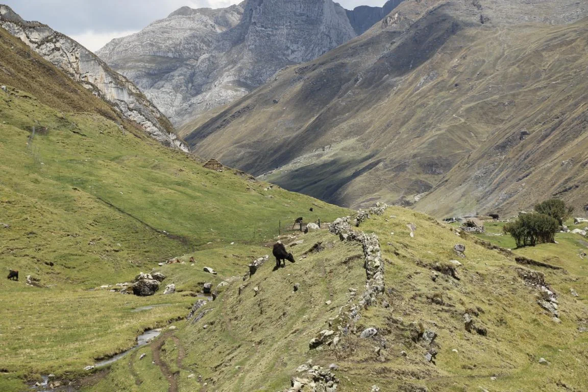
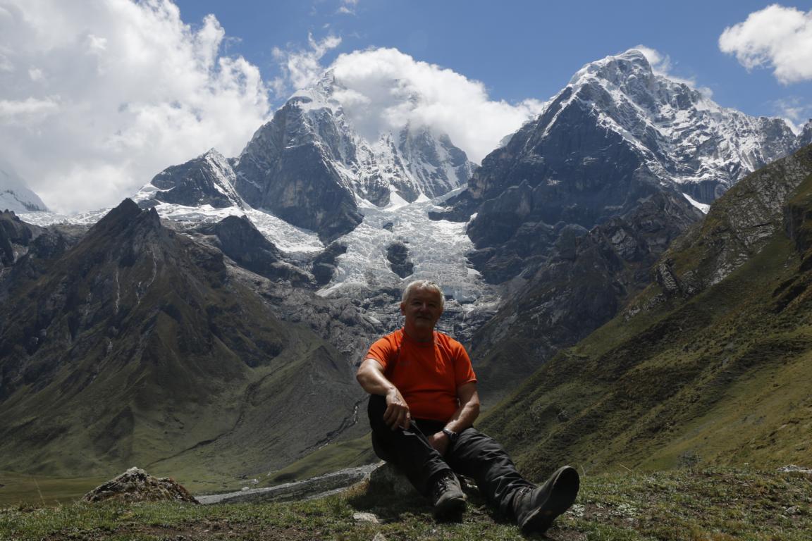
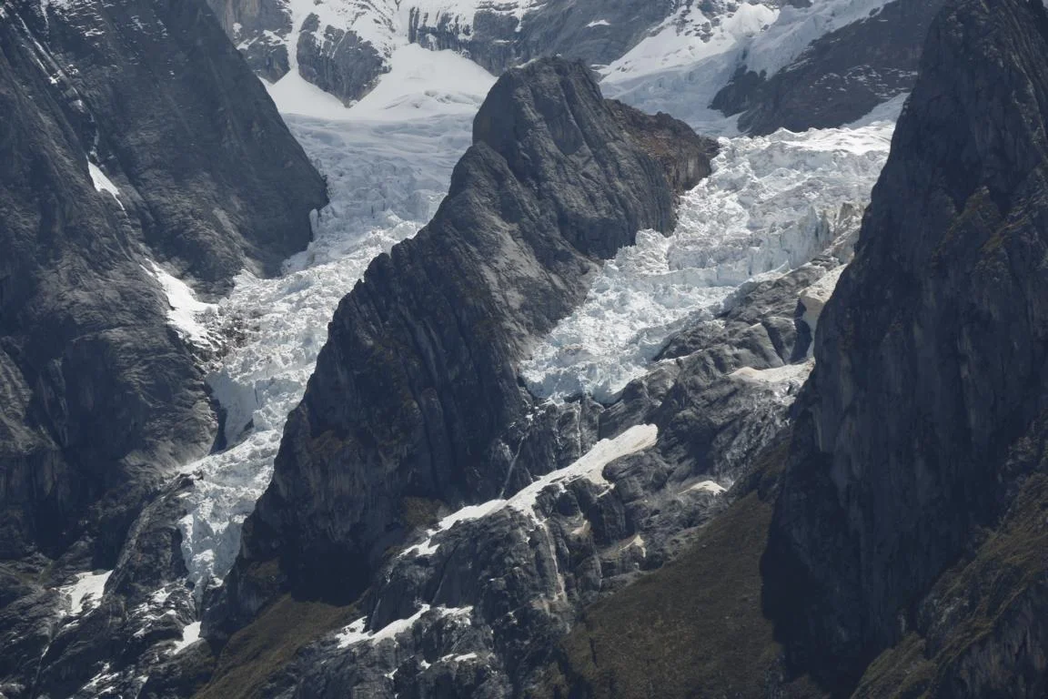
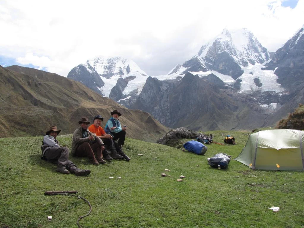
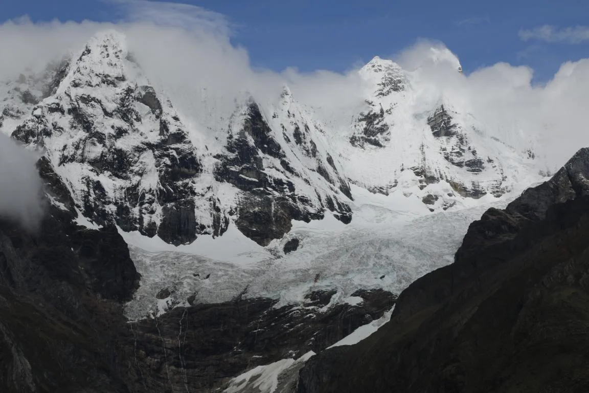
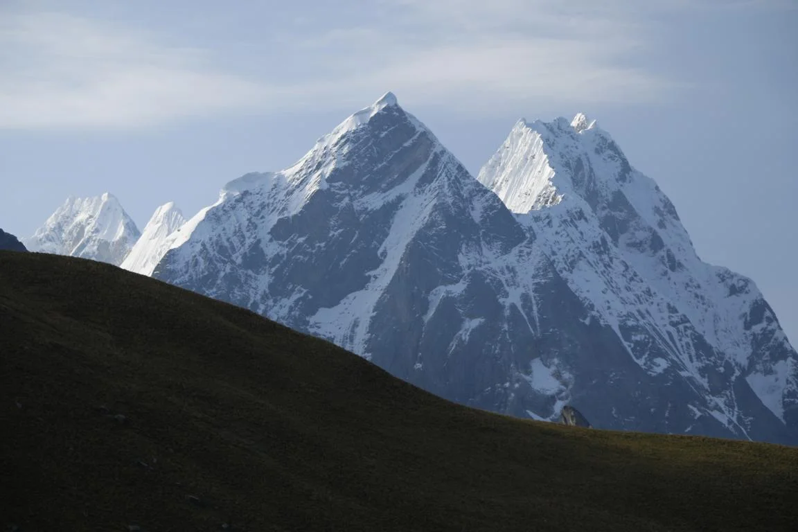
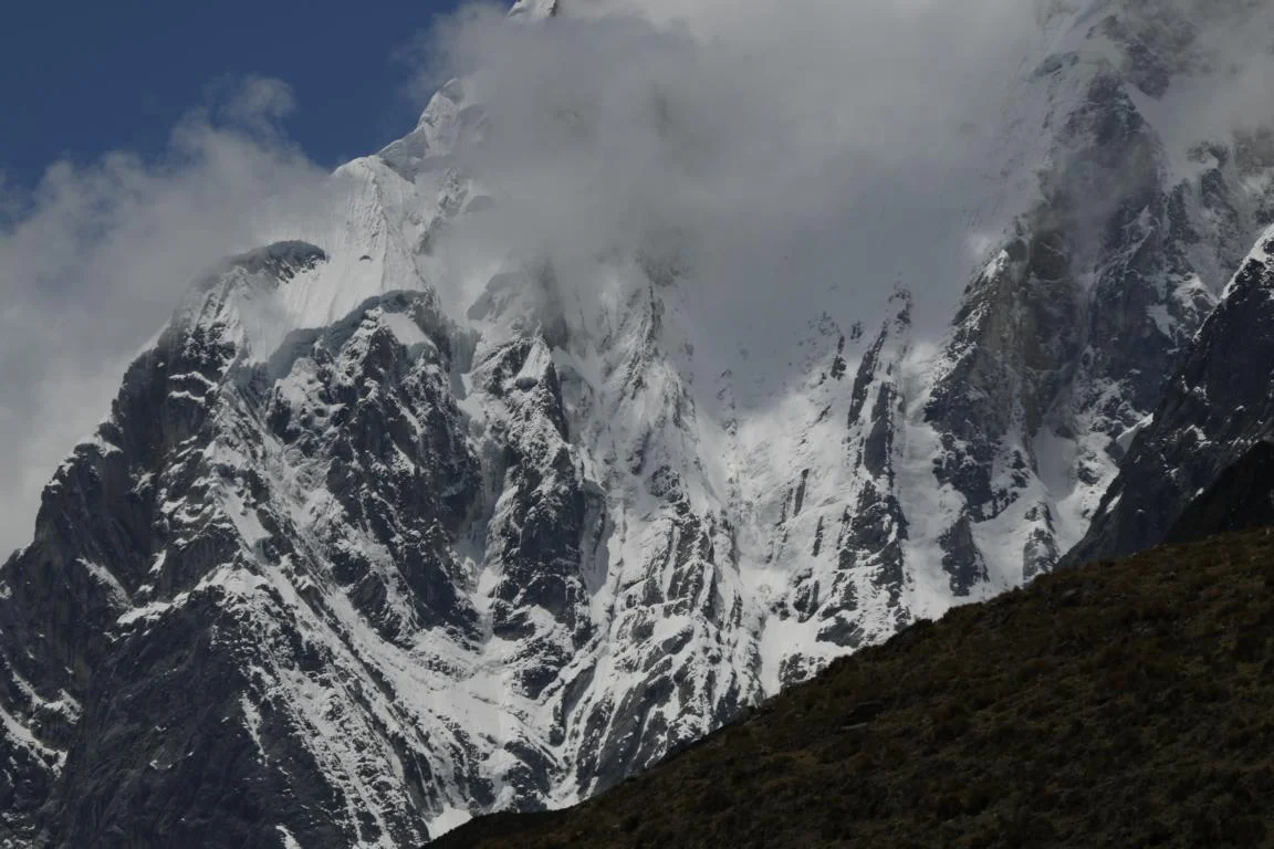
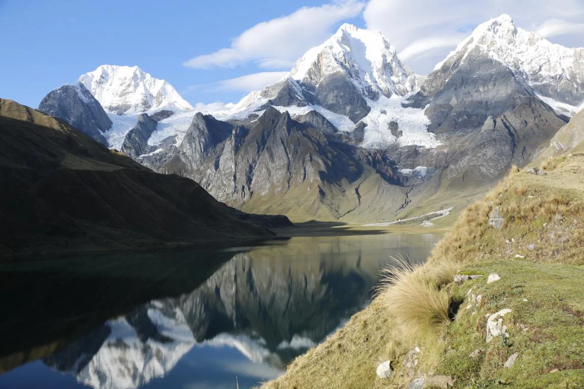
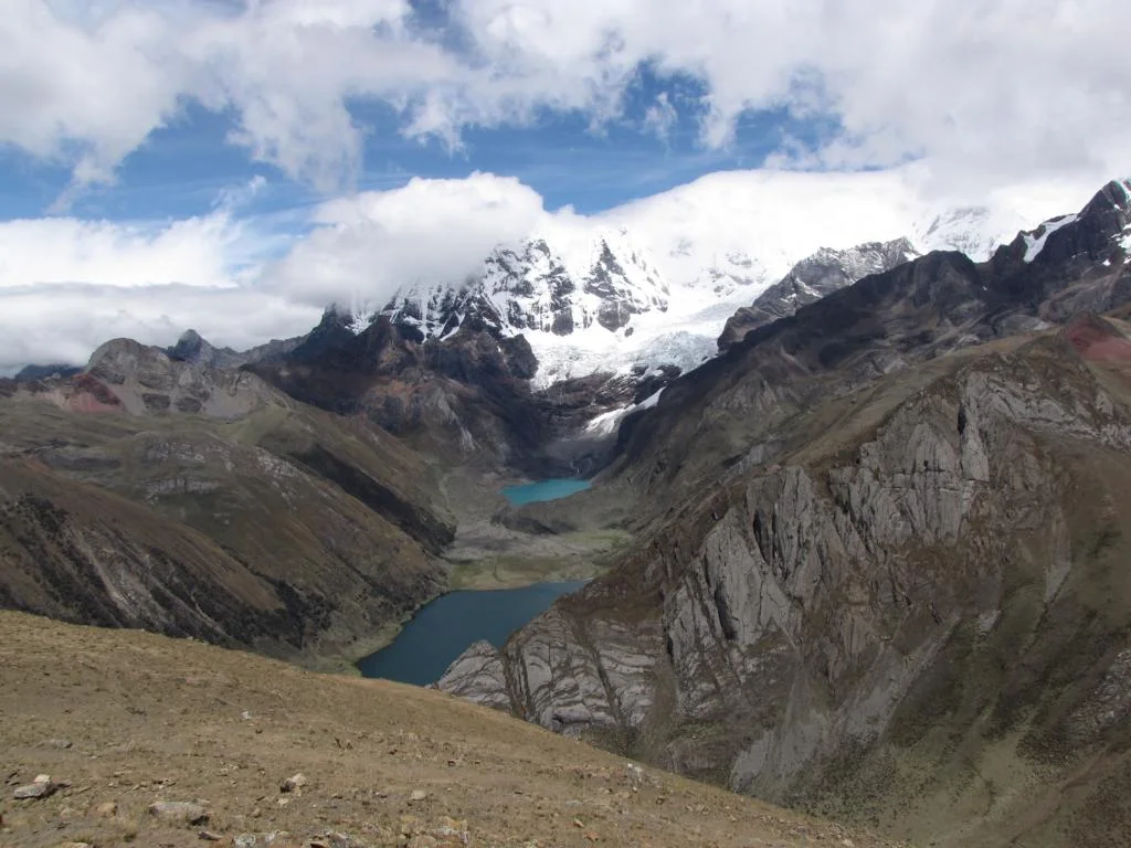
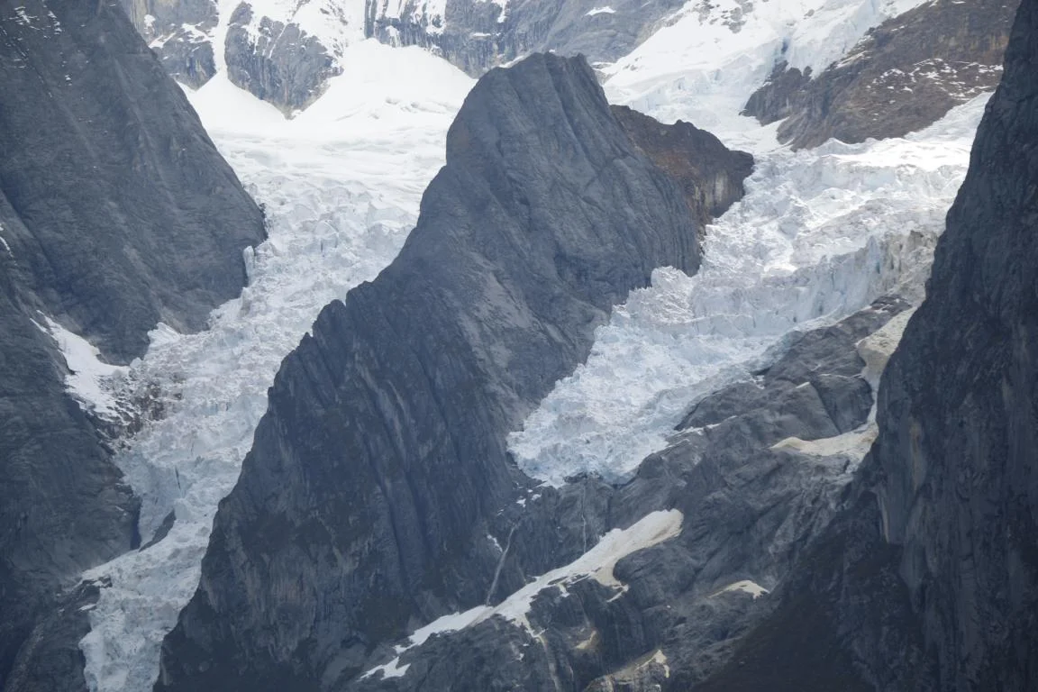
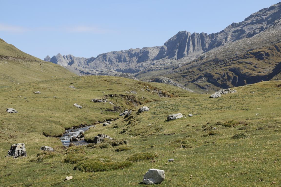
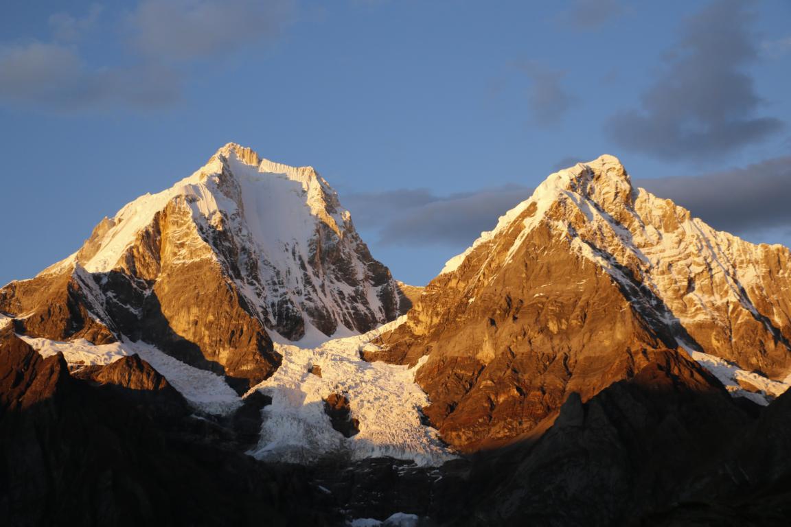
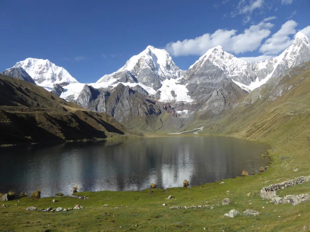
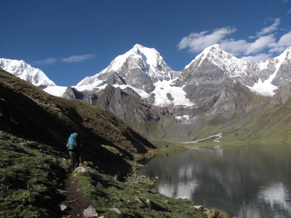
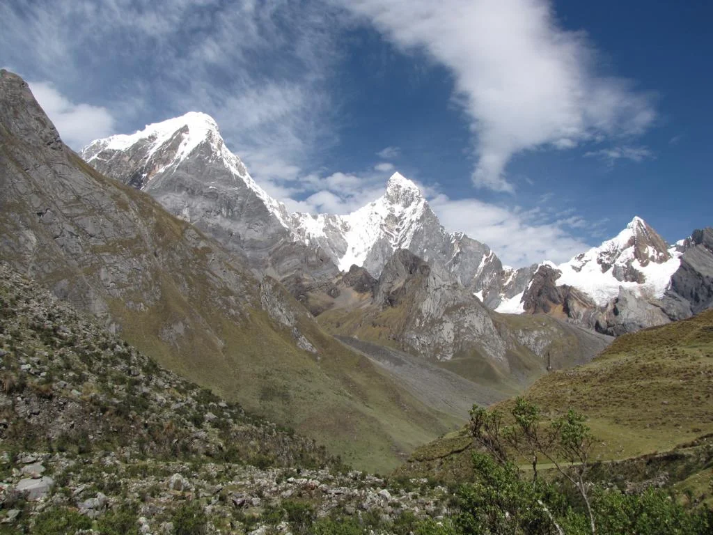
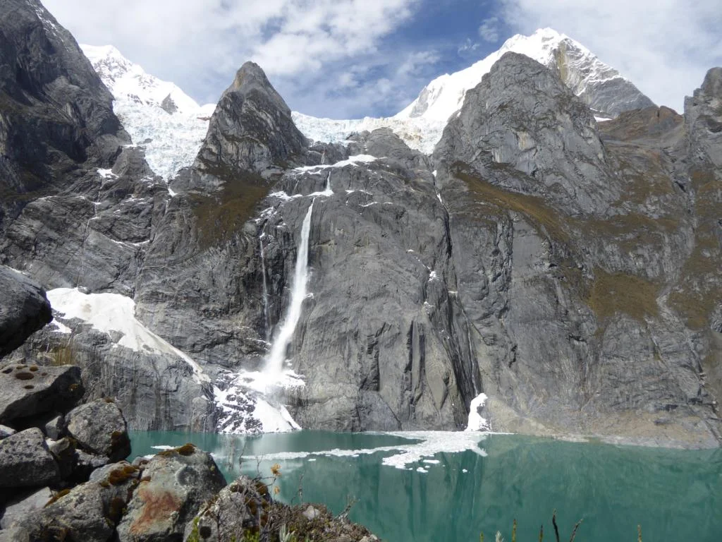
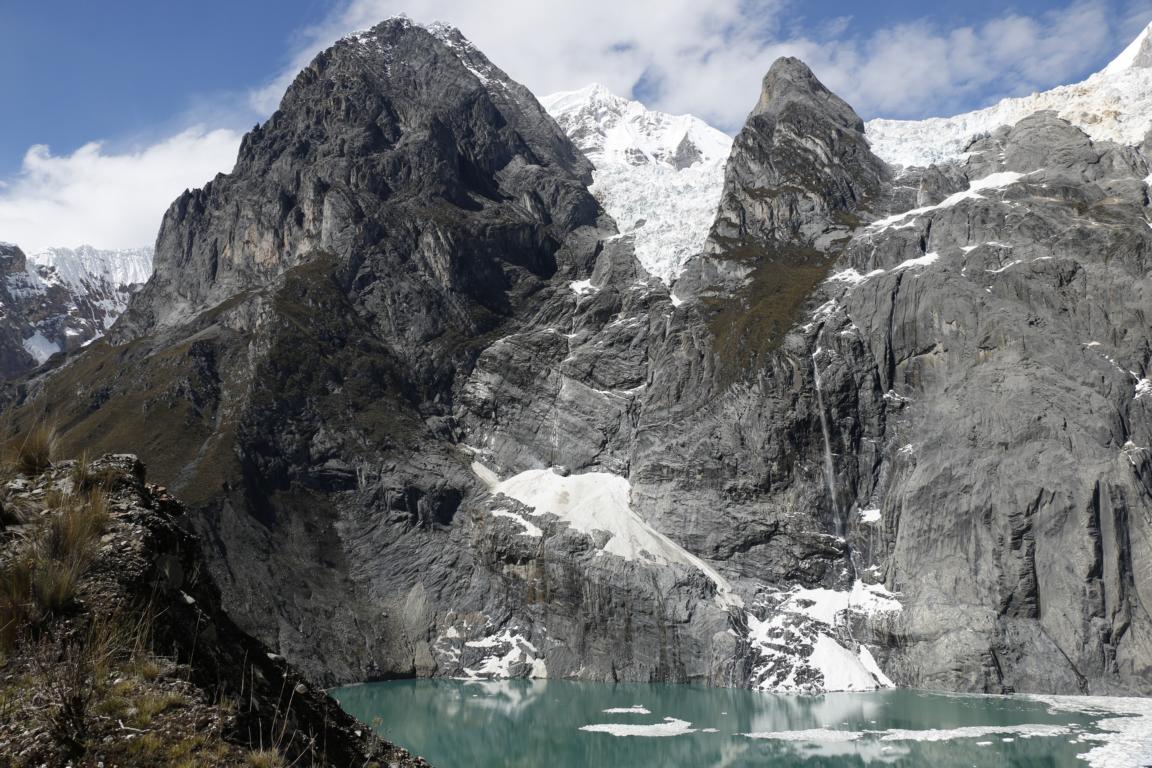
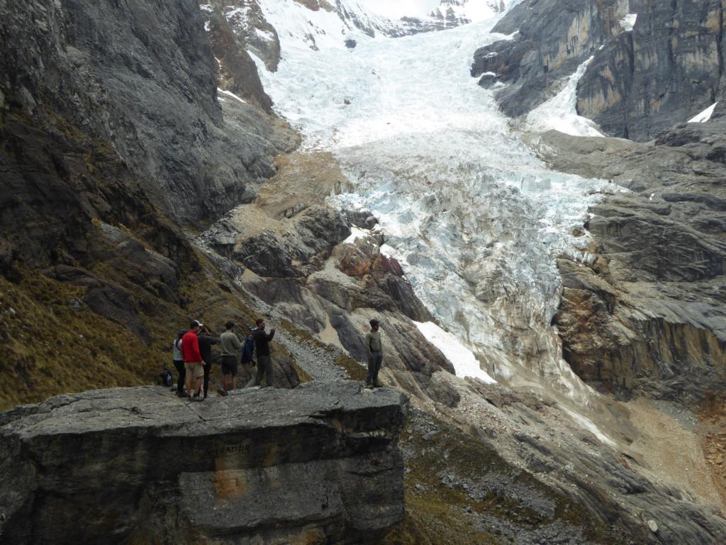
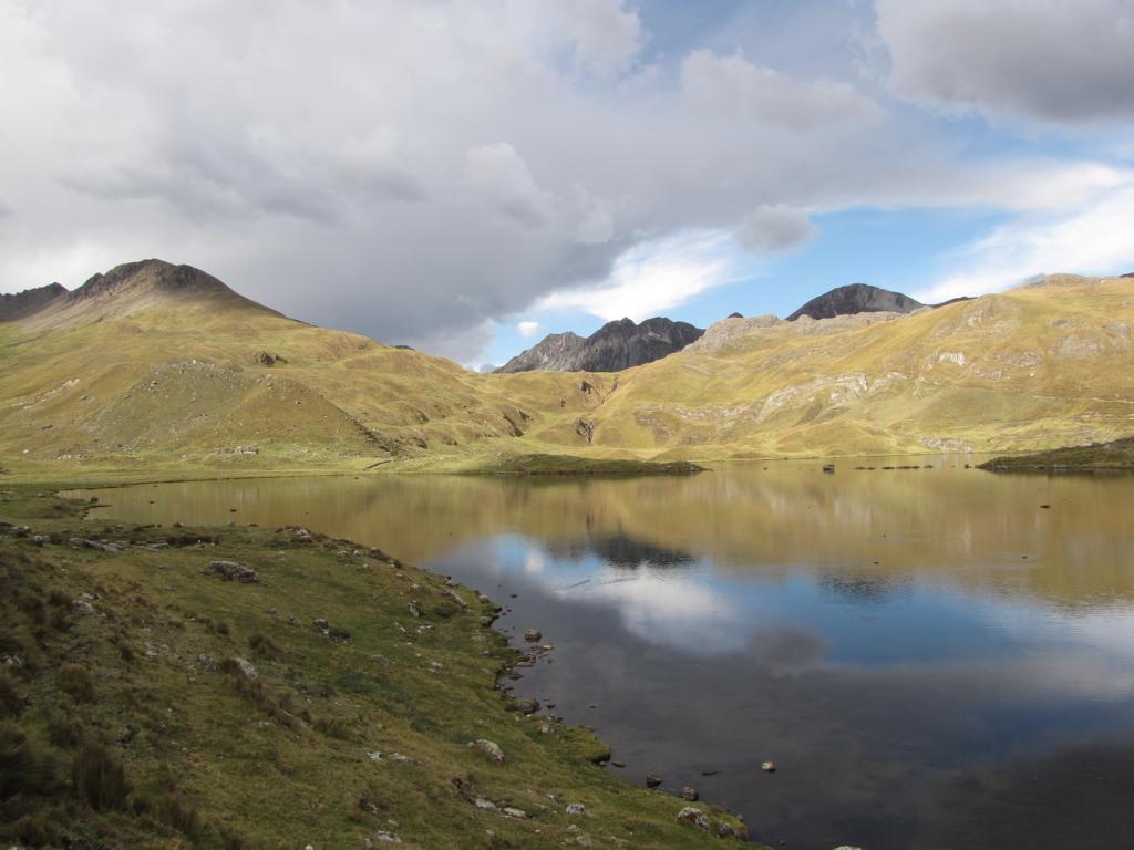
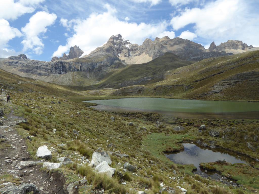
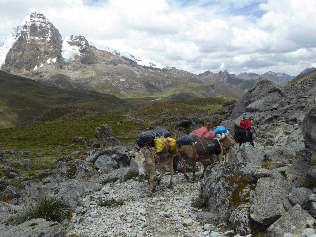
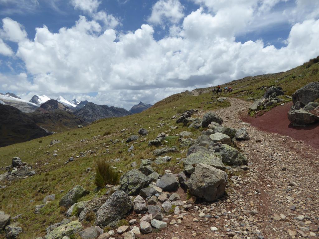
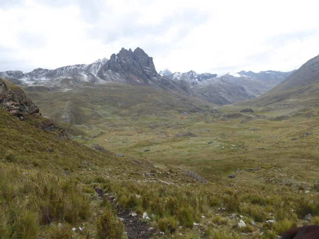
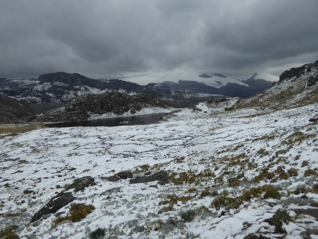
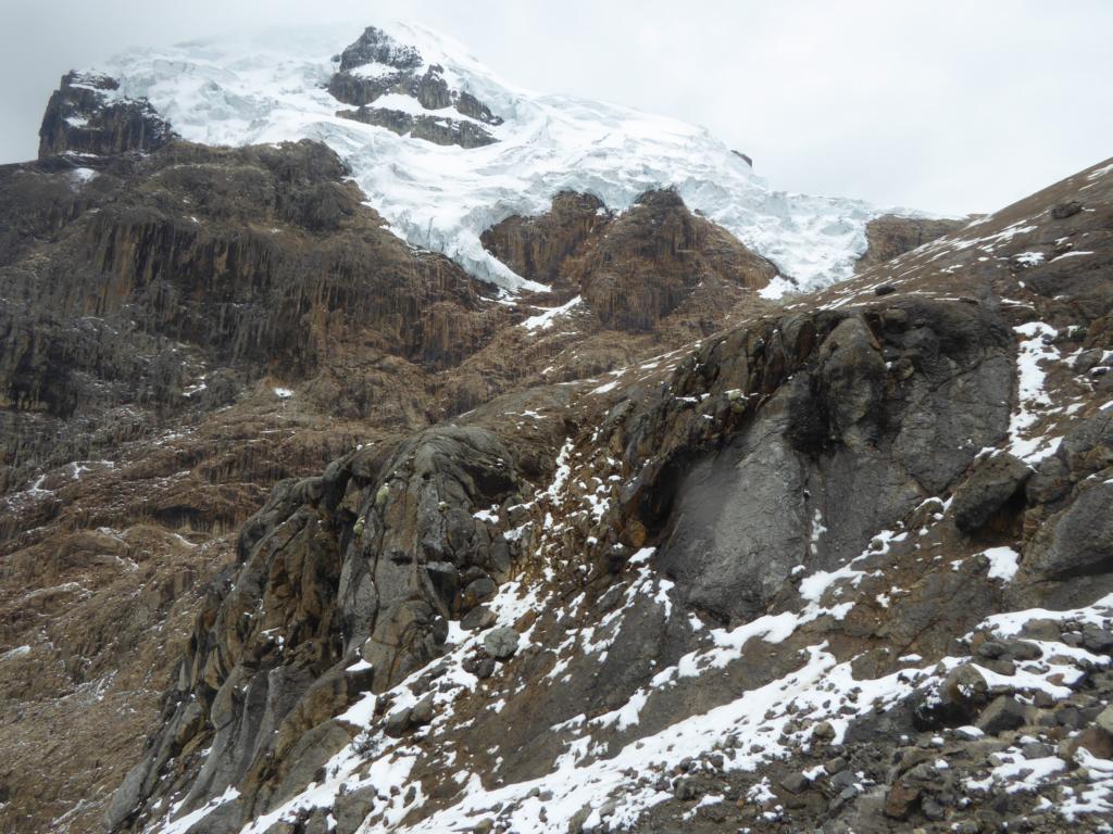
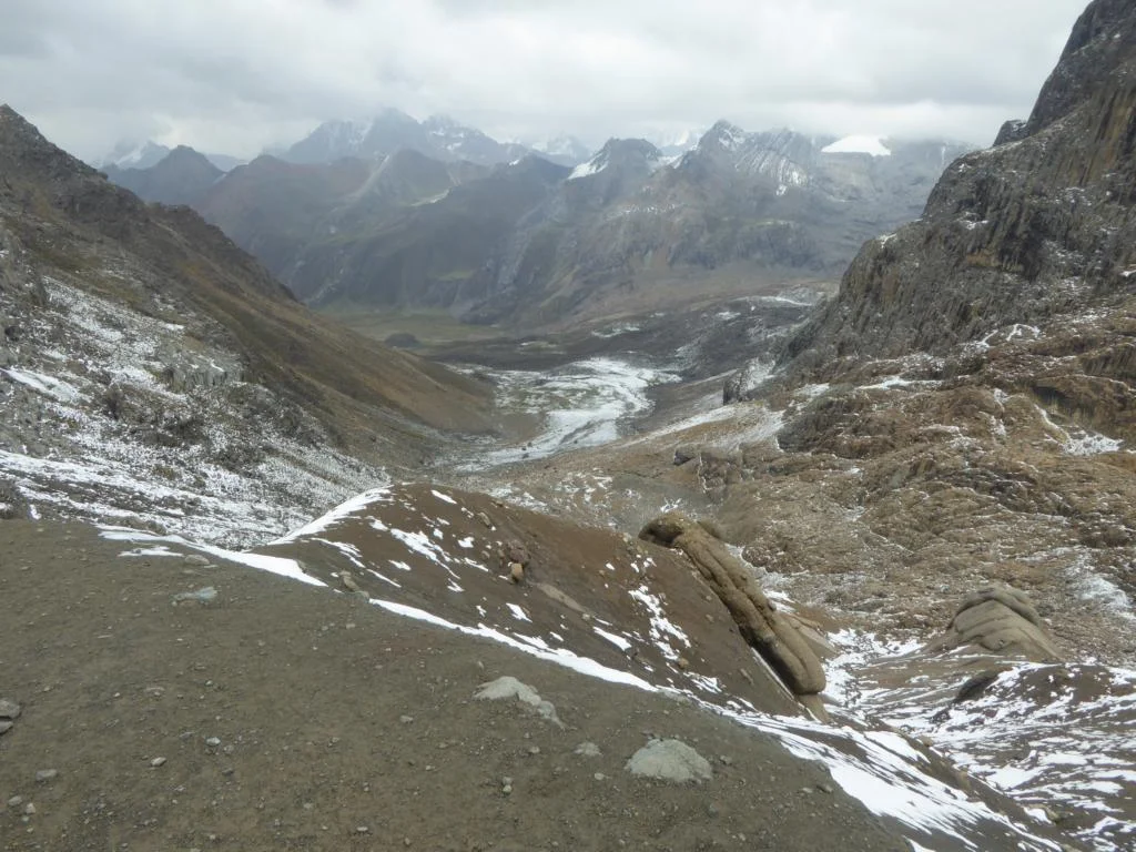
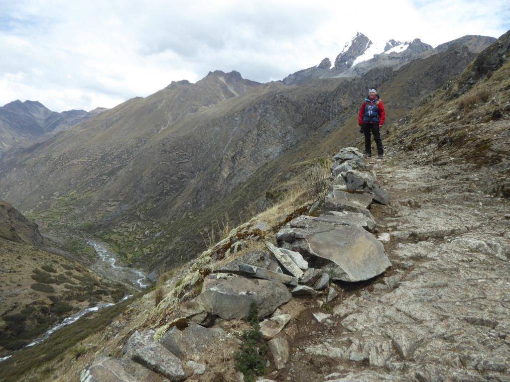
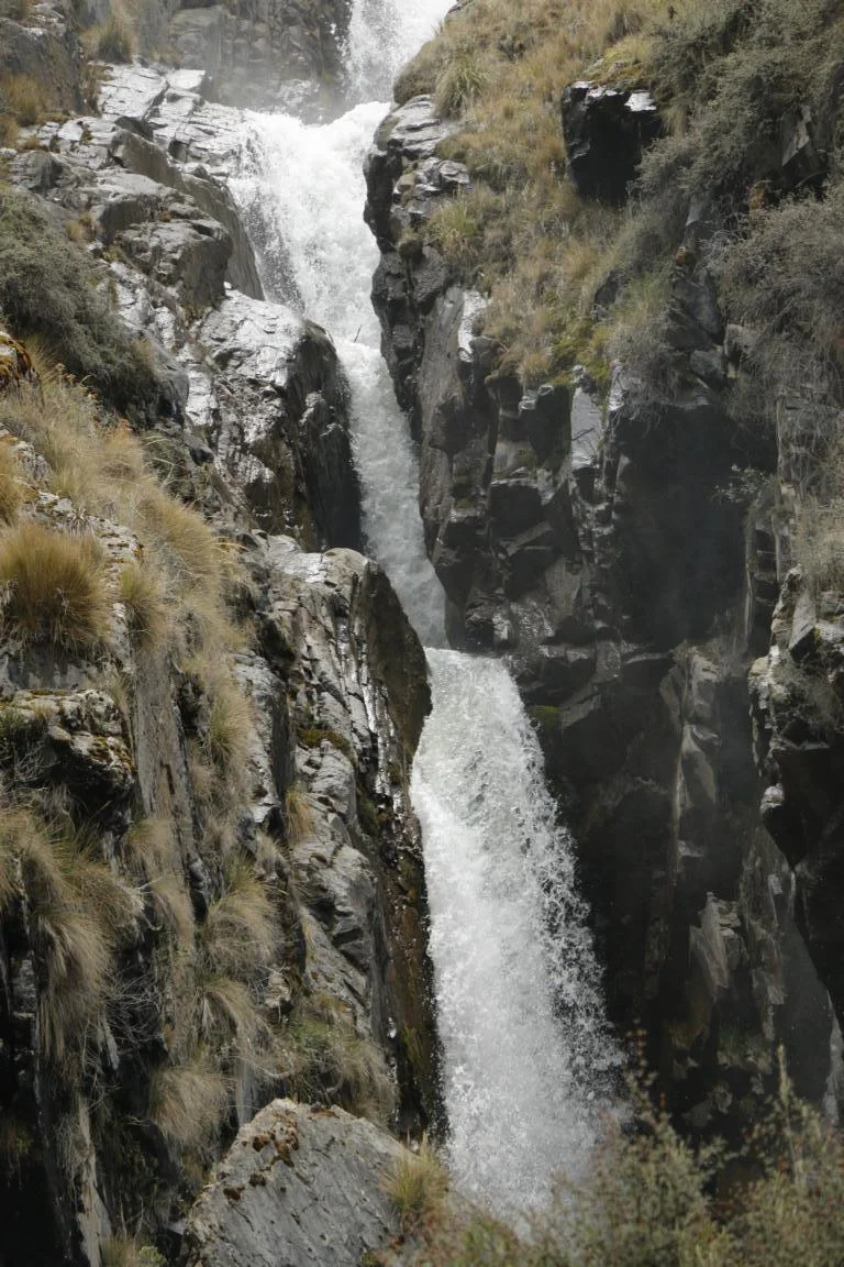
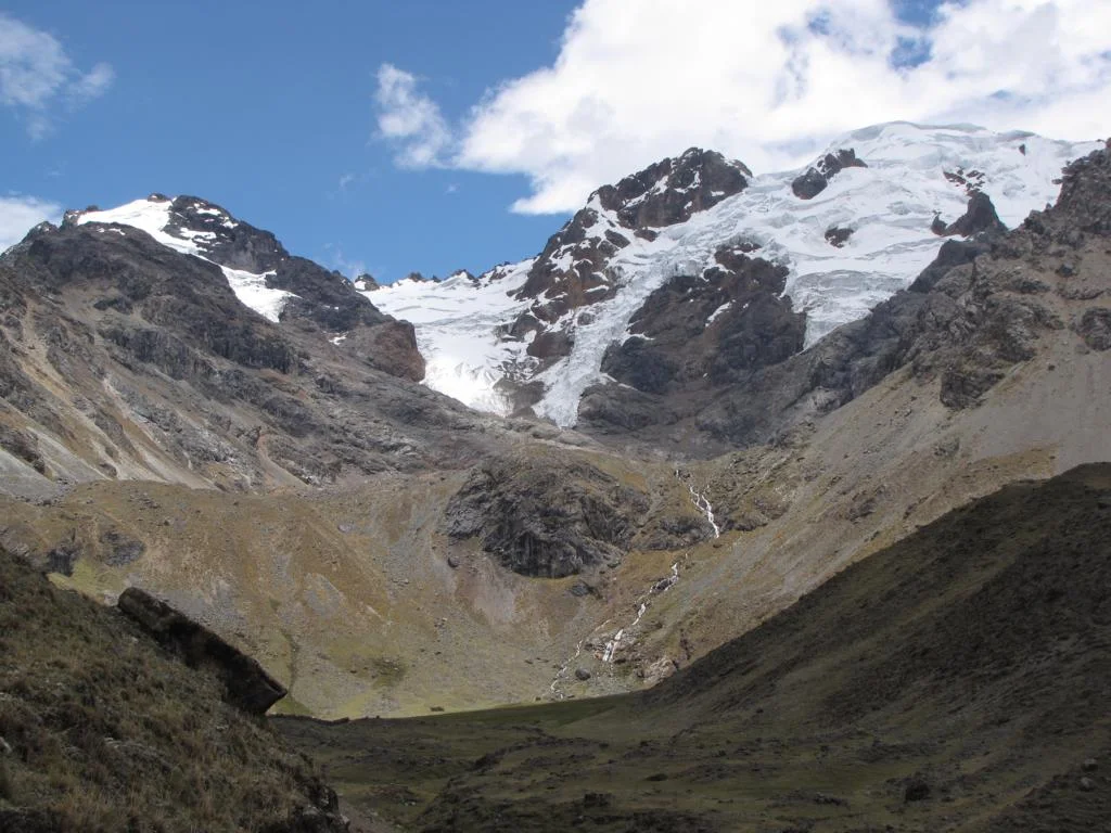
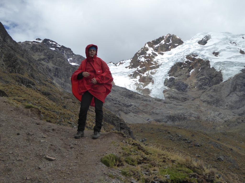
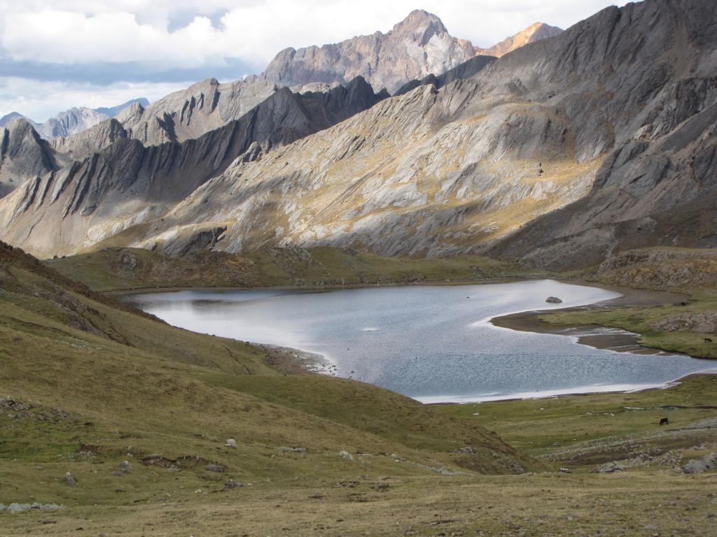
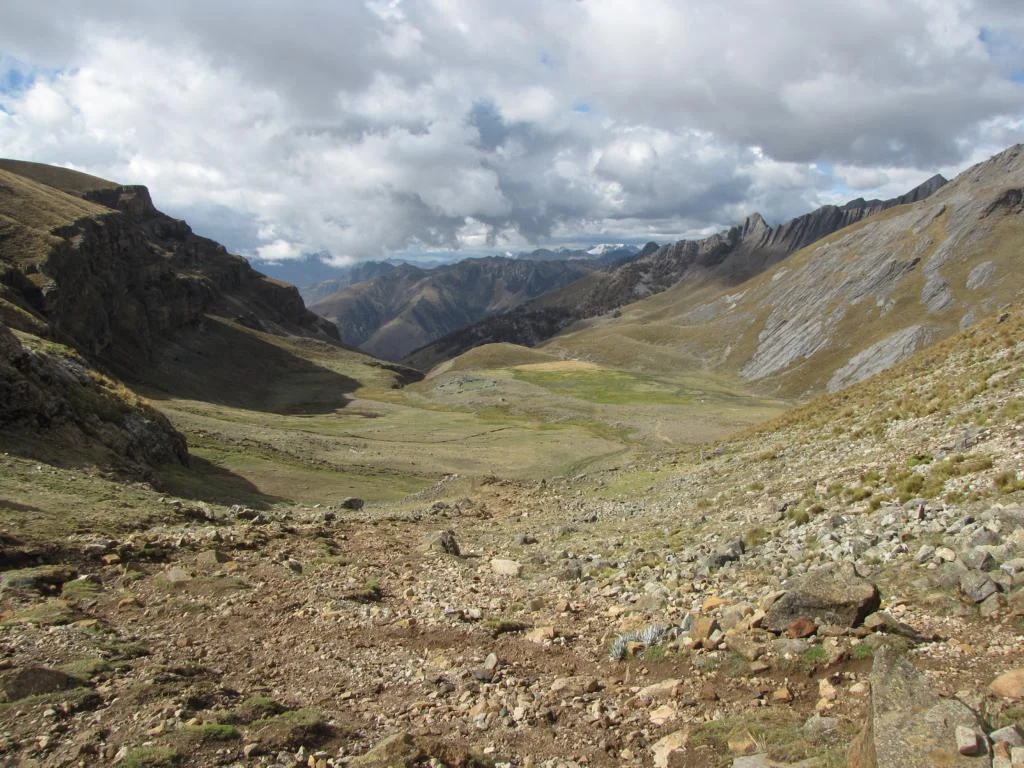
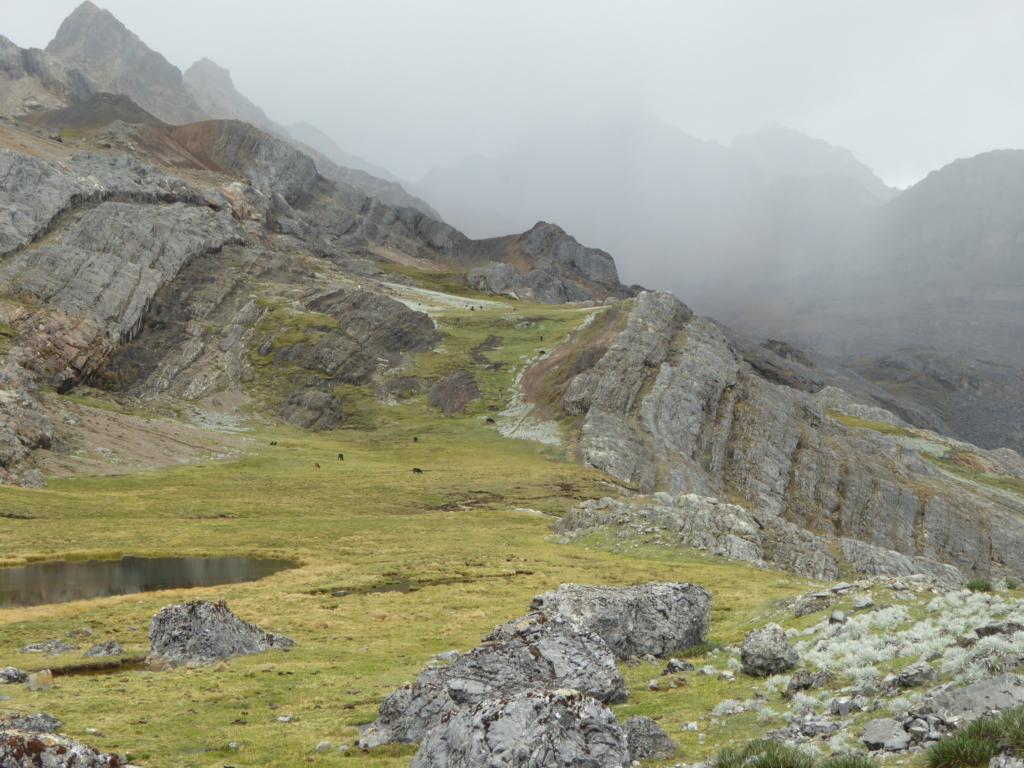
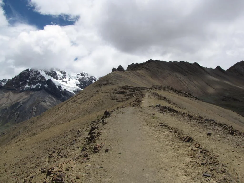
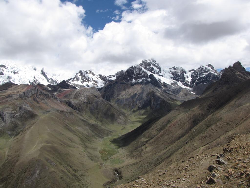
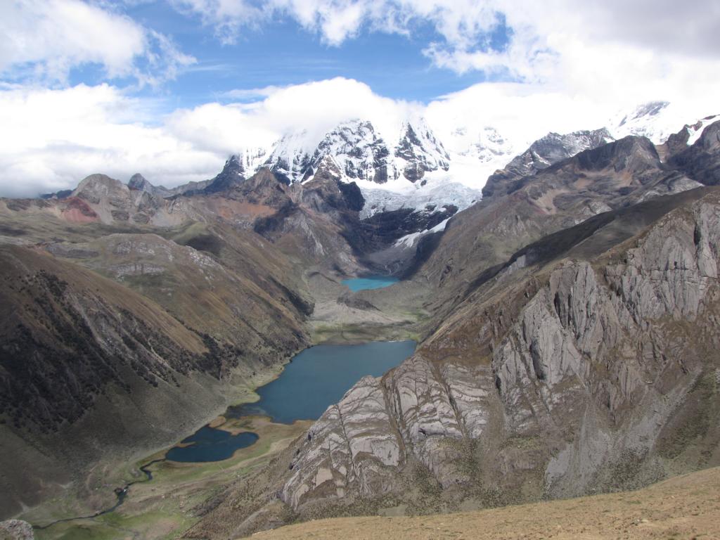
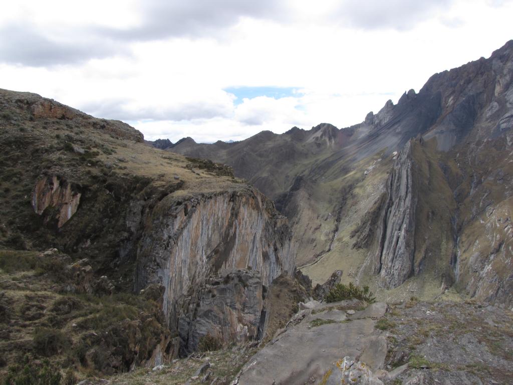
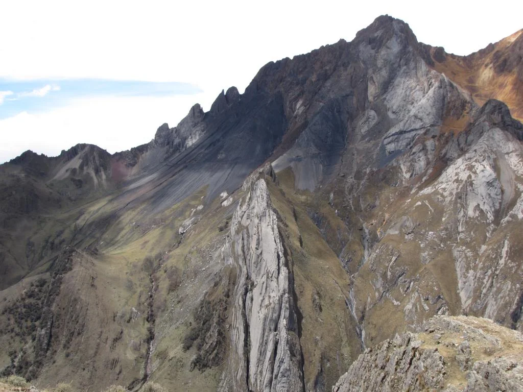
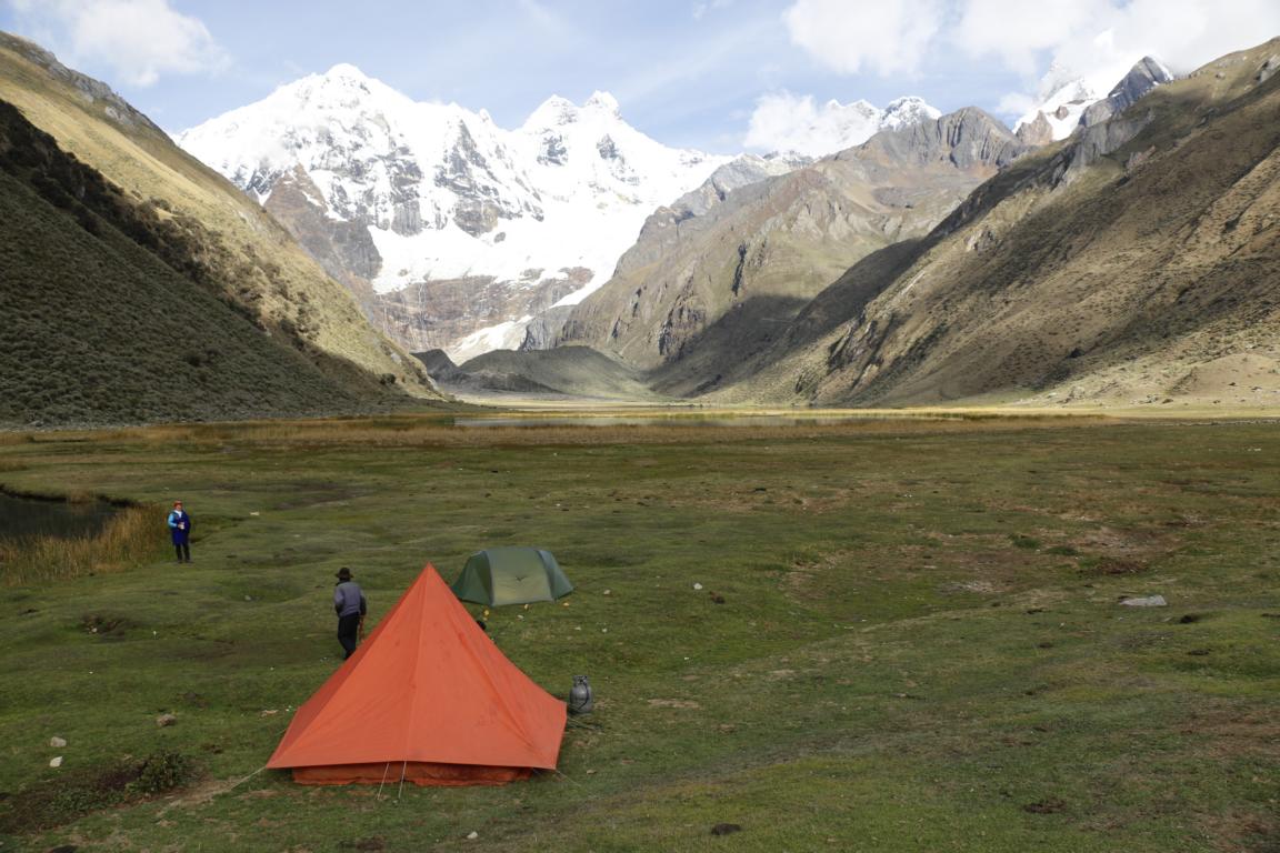
Landscape-wise day 4 was the most scenic one. While the normal route leads over the Carnicero Pass we choose the alternative route (8 hours) which leads along the glaciers close to the steep rock walls and were rewarded with spectacular views of the mountain chain and the Laguna Siula. Impressive is the thundering sound of the ice breaks and the snow/ice coming down the rock walls. Hail and thunderstorm at the pass (4,950m) made part of the hike a bit unpleasant. This also was the only day when we meet another group.

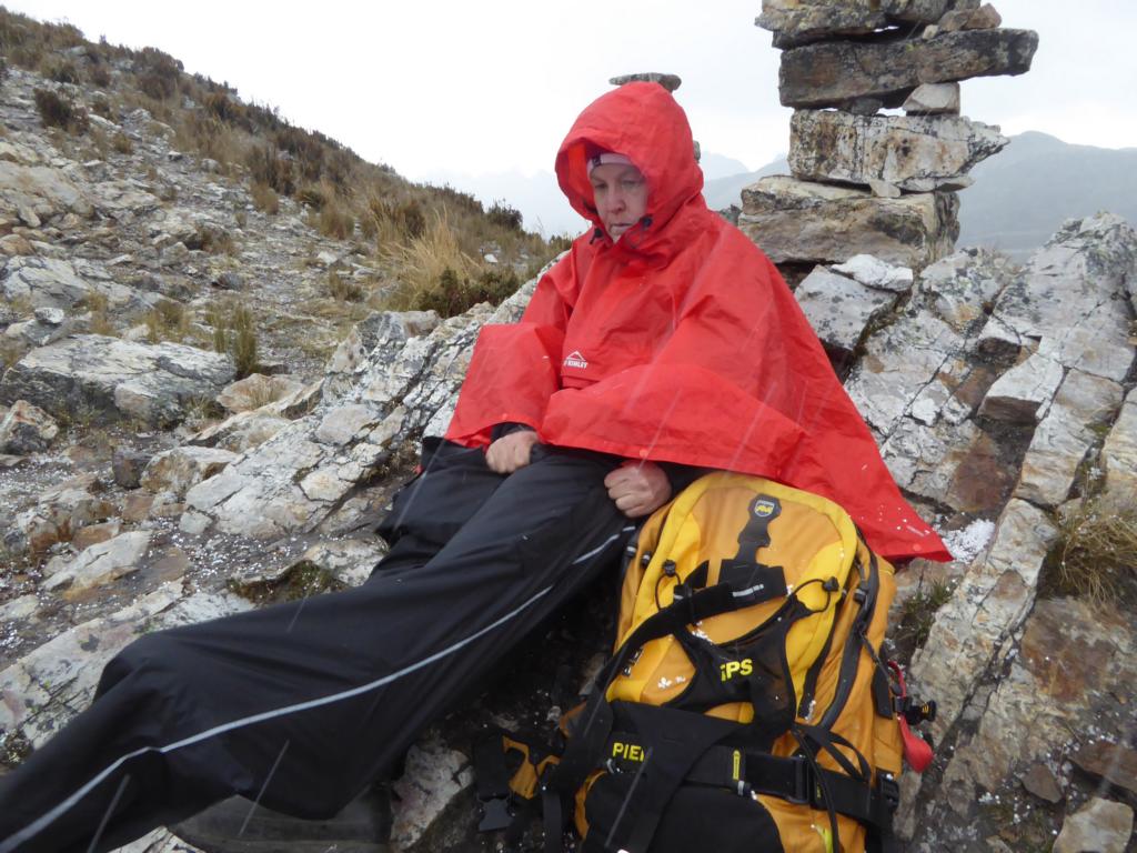
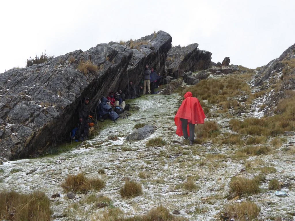
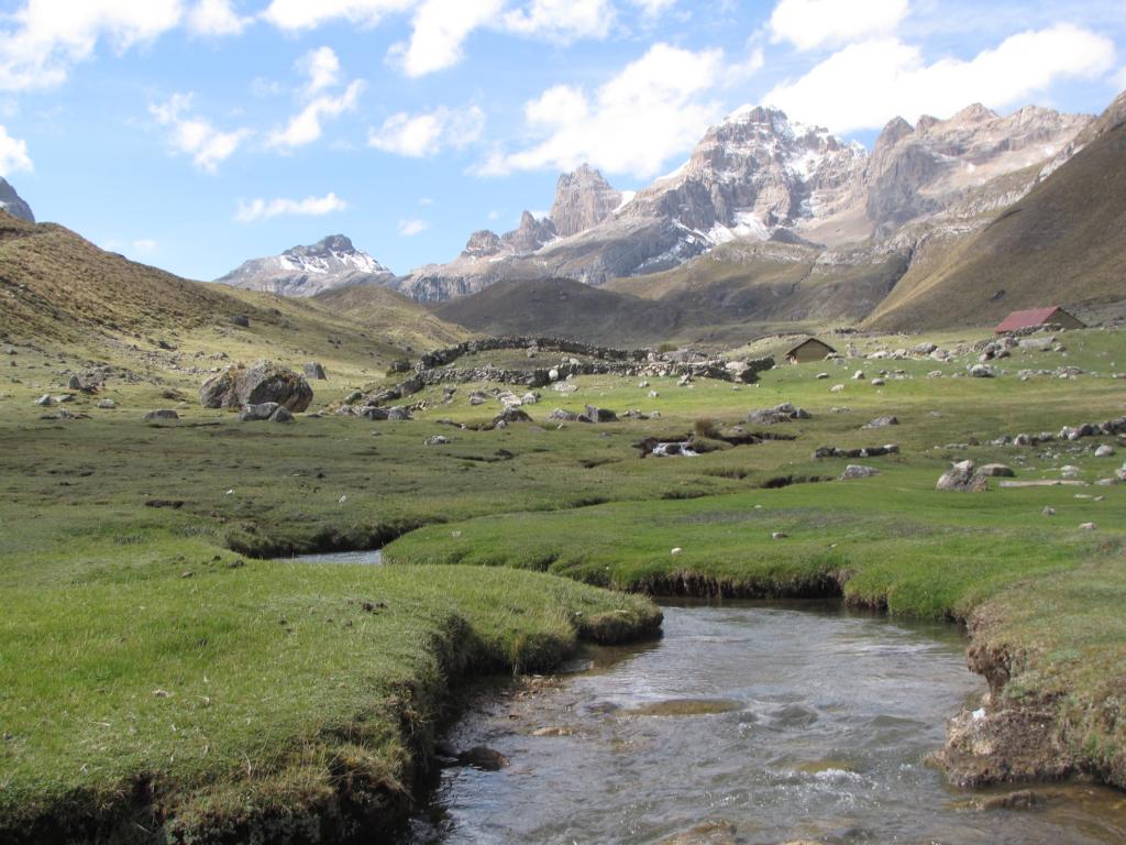
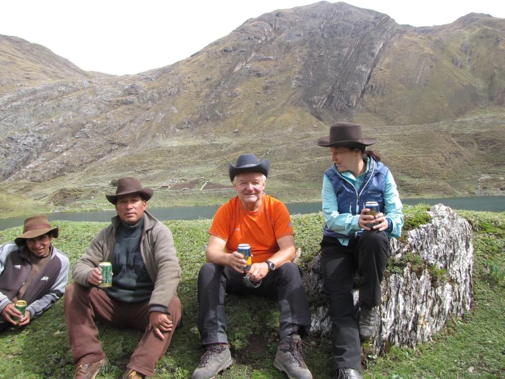
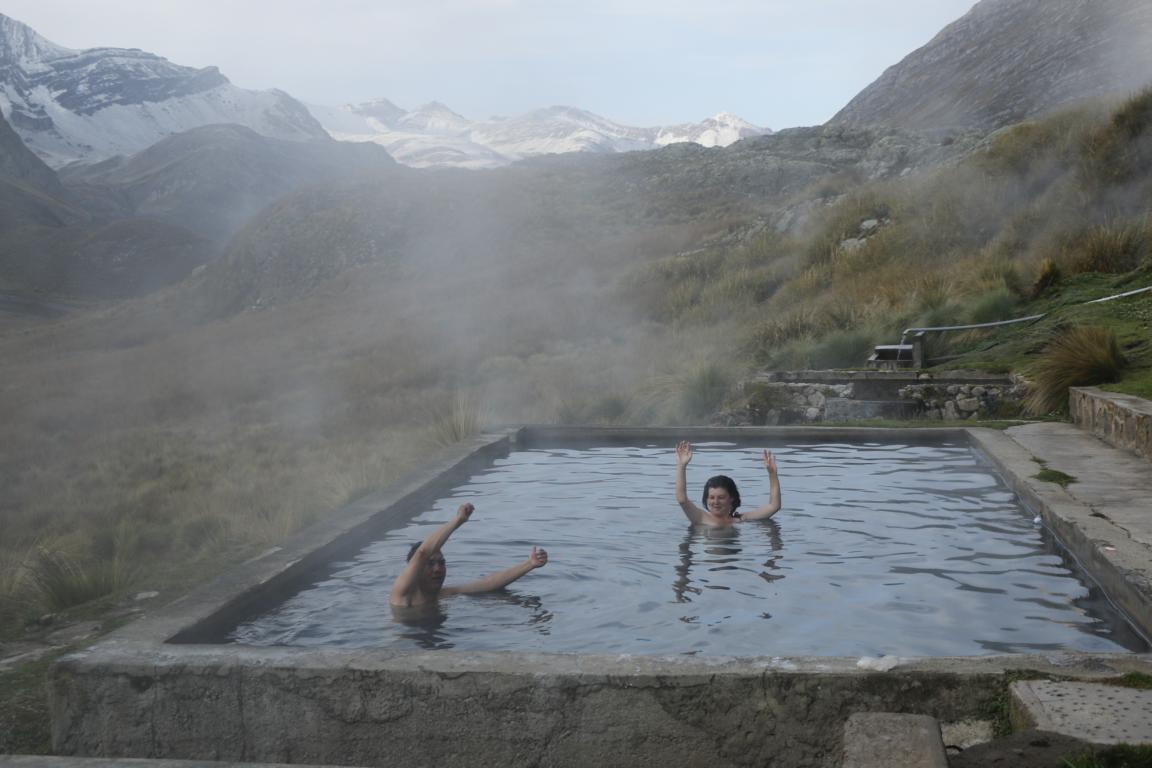
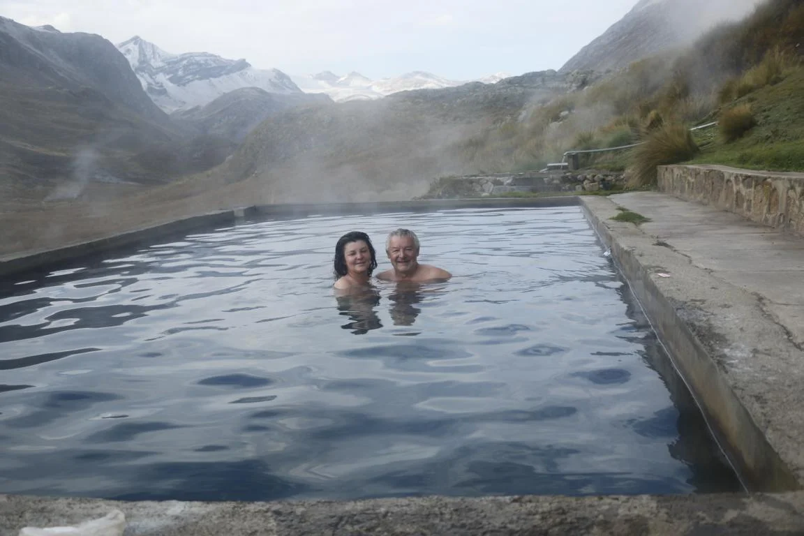
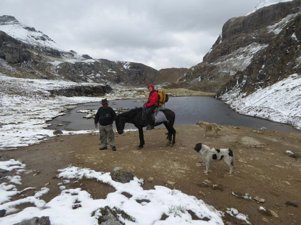
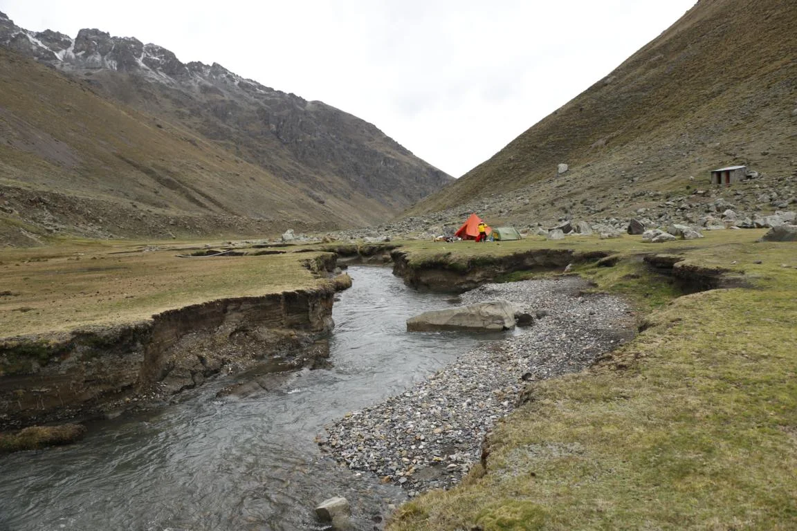
Day 5 lead over the Huayhuash Pass (4,750) to the hot springs near Laguna Viconga where we had to pitch up the tent during a heavy snowstorm. Beyond that it was a bit of a strange night as the area is not considered safe since three weeks ago two German hikers were robbed. Therefore we did not sleep much and I had a knife next to me.
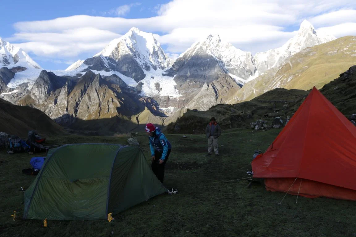
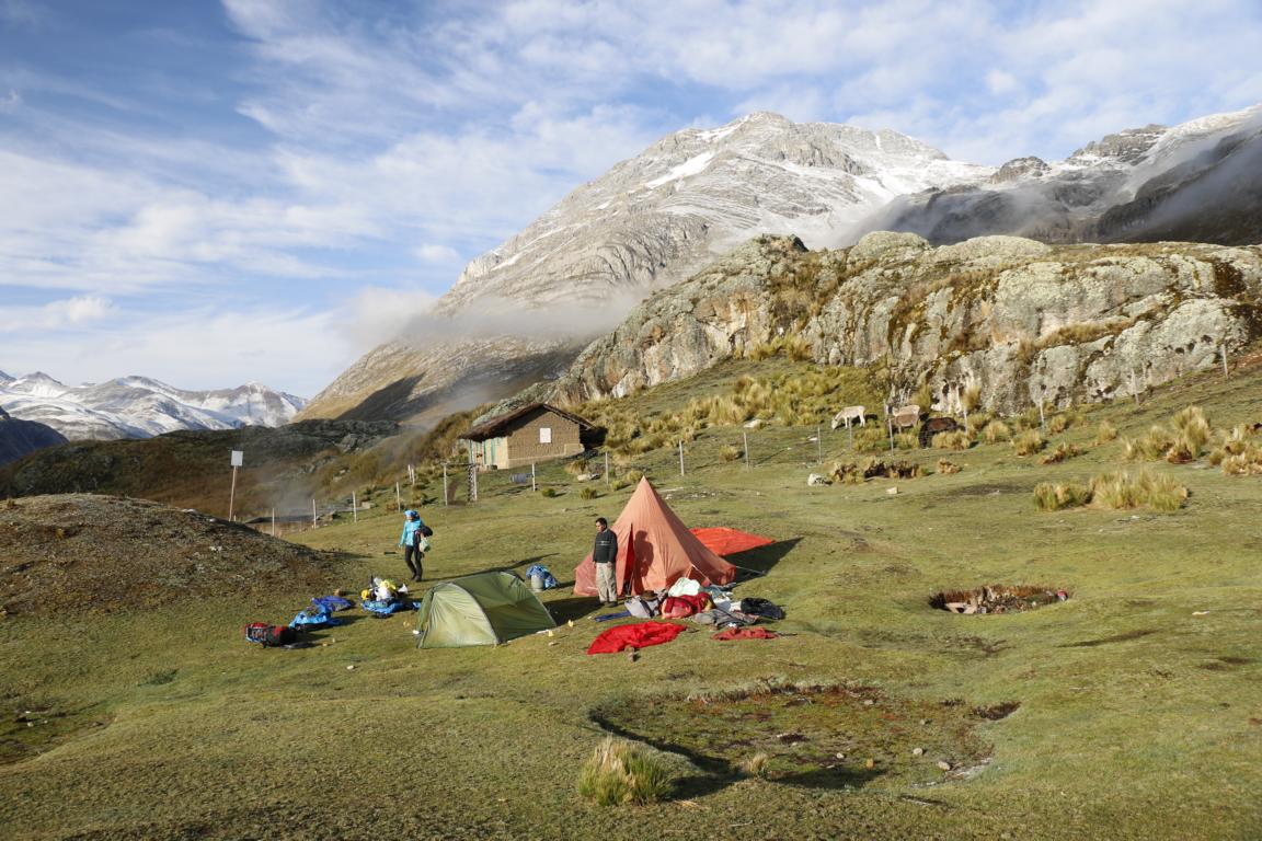
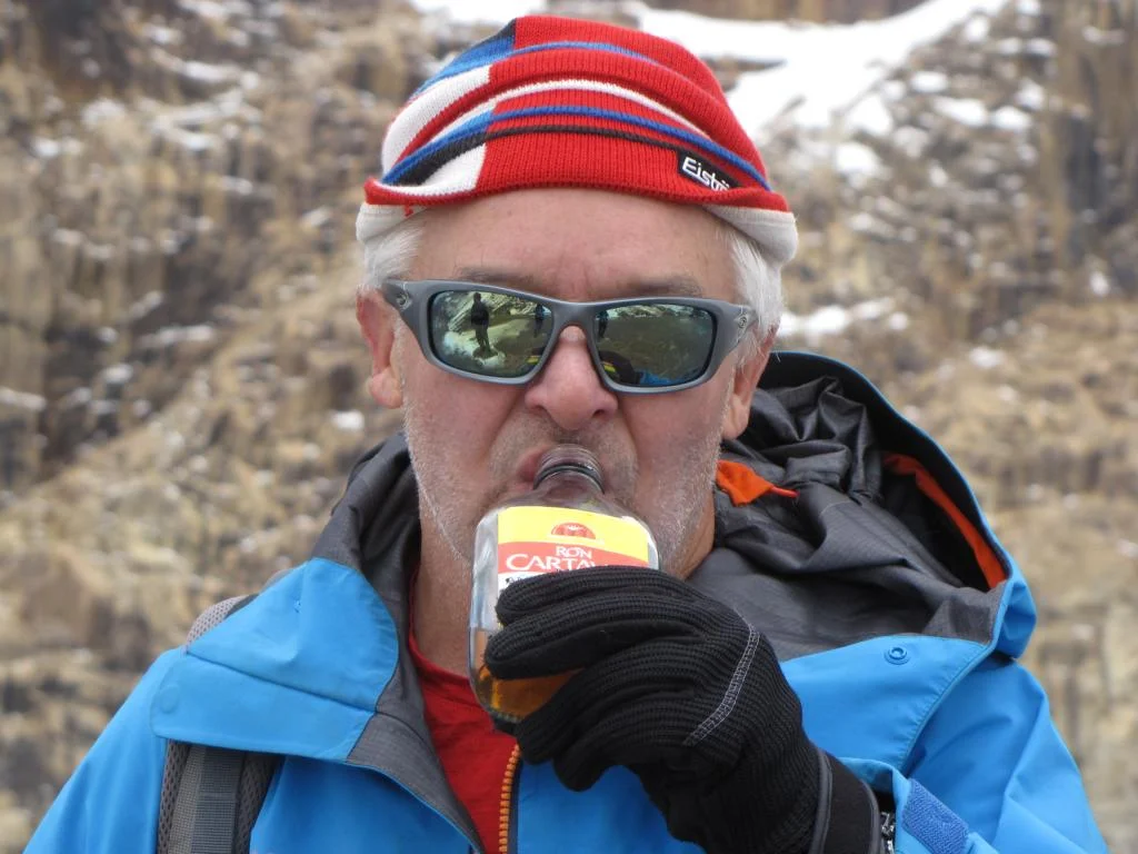
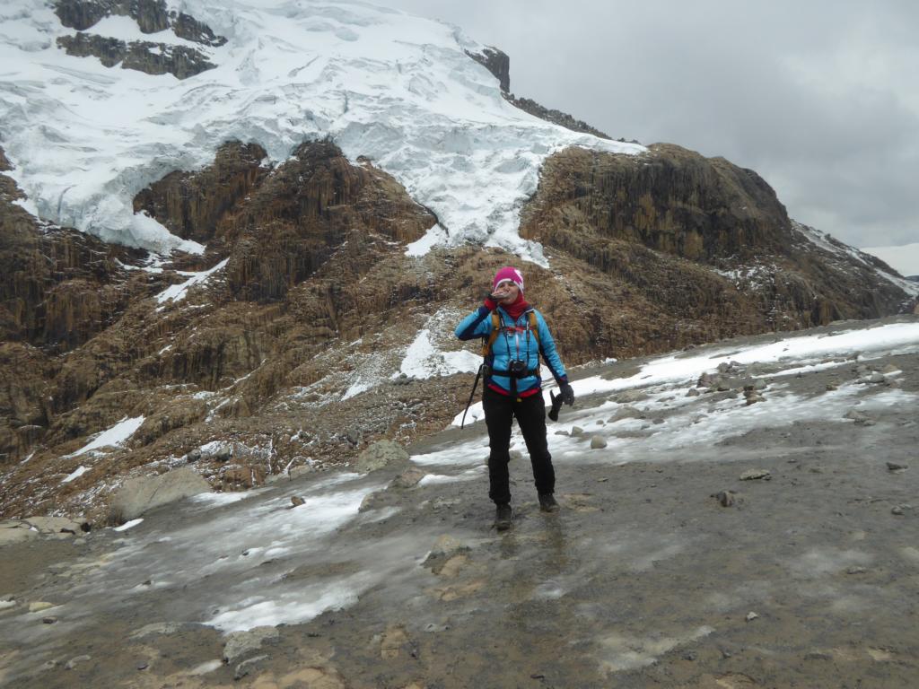
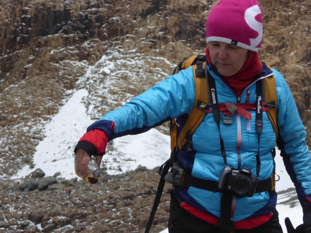
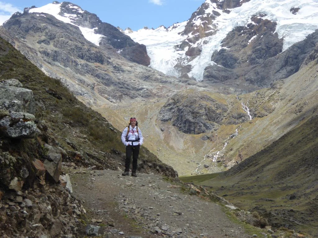
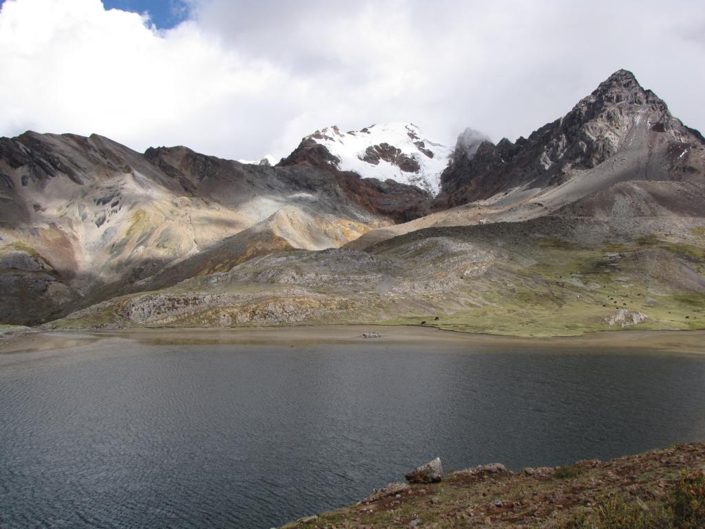
During the night the sky has cleared and day 6 started with an early bath in the thermal springs (38 degrees C). The route leads over the Cuyoc Pass (5,020m) the highest point of the trek. Most of the time we had to walk through last night’s snow and as the weather was worsening we had to put on some extra layers and emptied a bottle of rum when reaching the pass (of course sharing also with Pacha Mama).
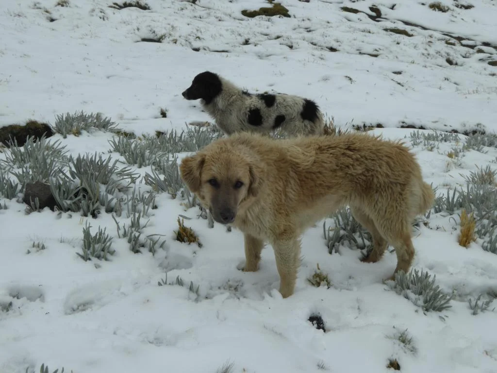
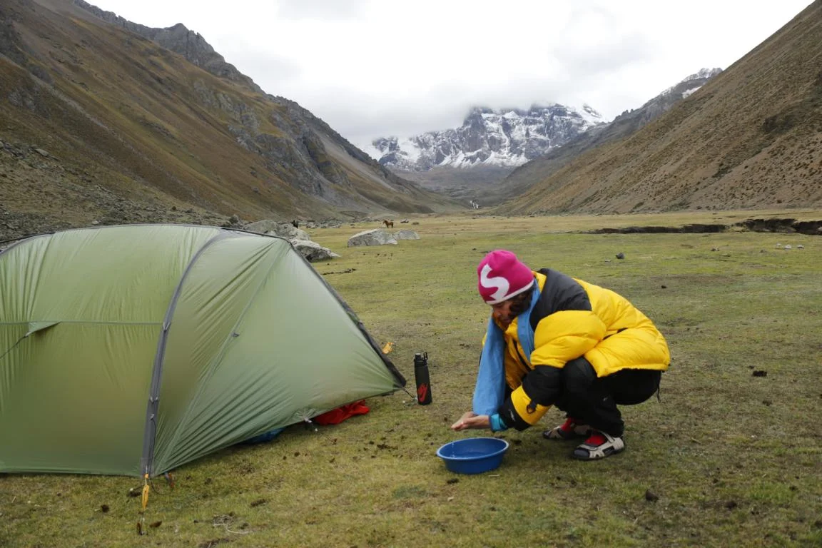
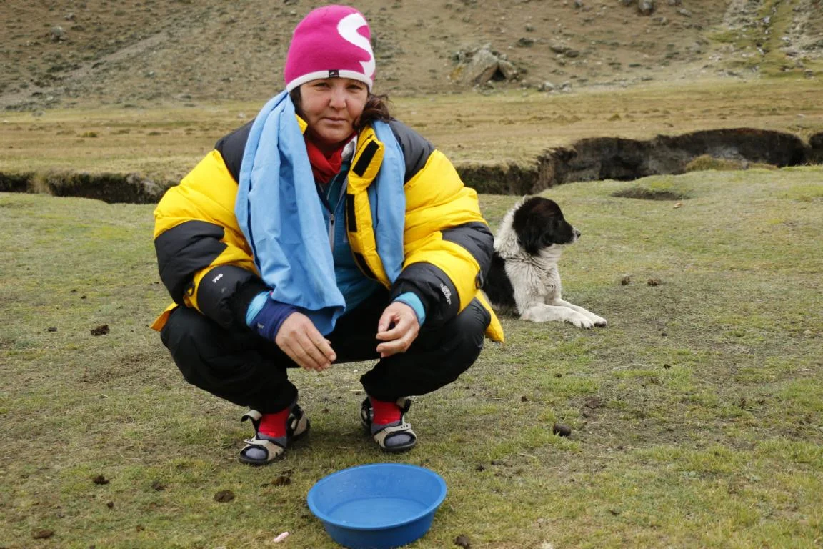
Two stray-dogs joned us for a few days providing protection in exchange for food. A small bowl filled with hot water served for our daily hygiene.

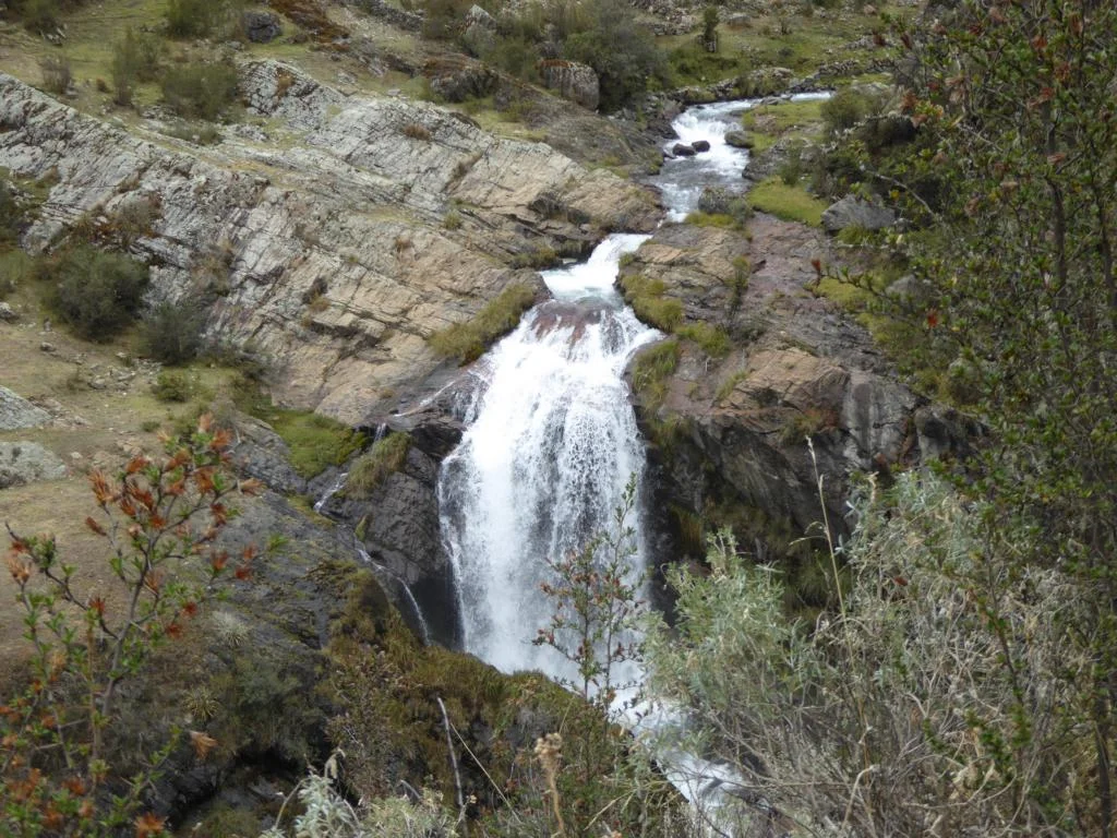
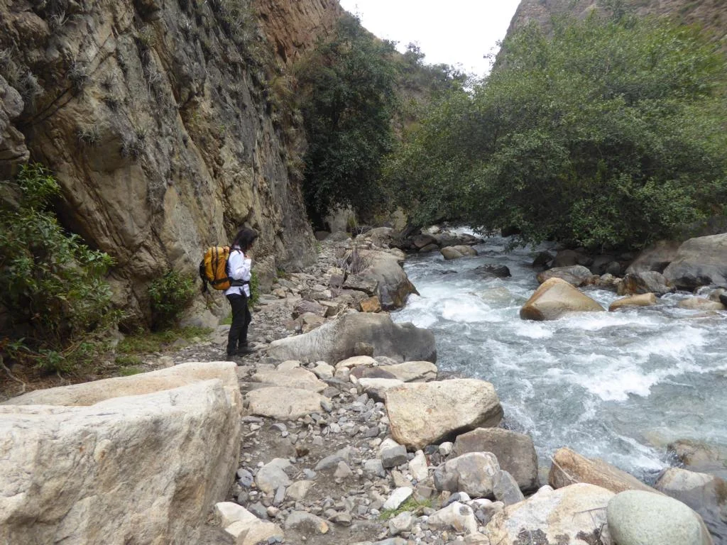
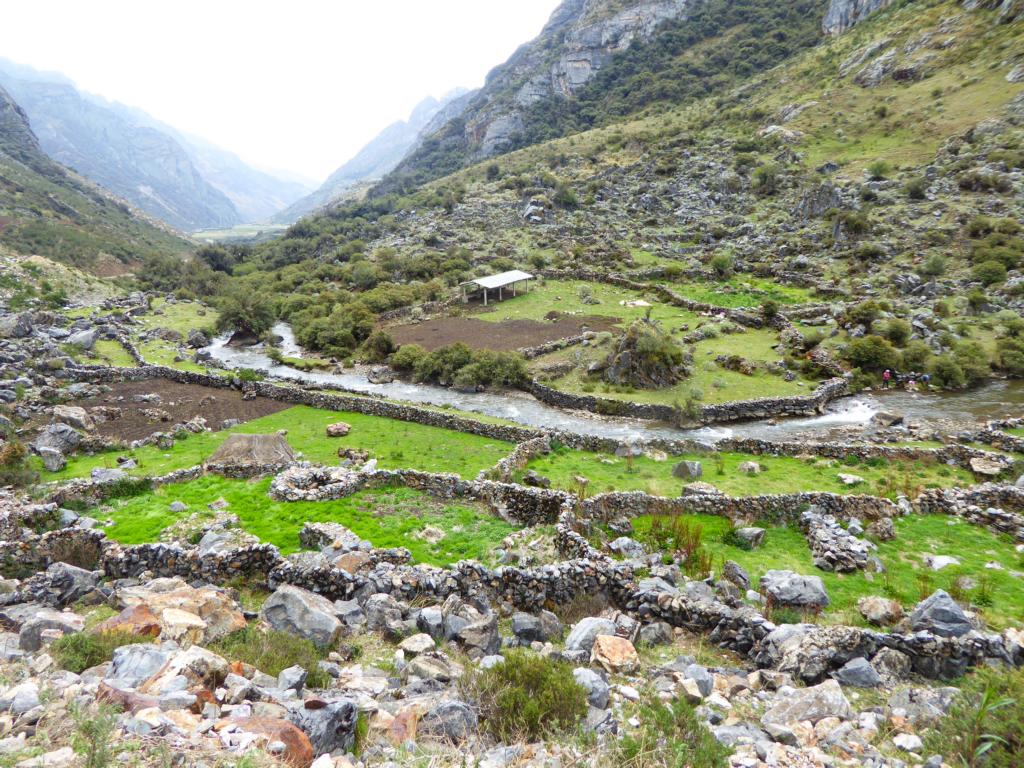
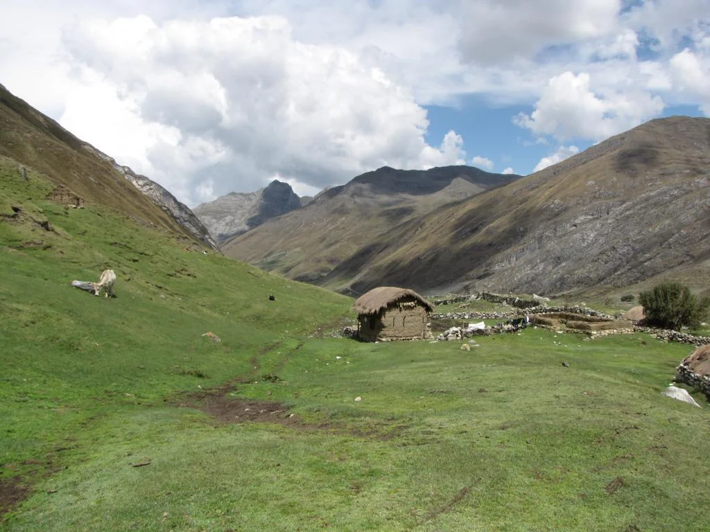
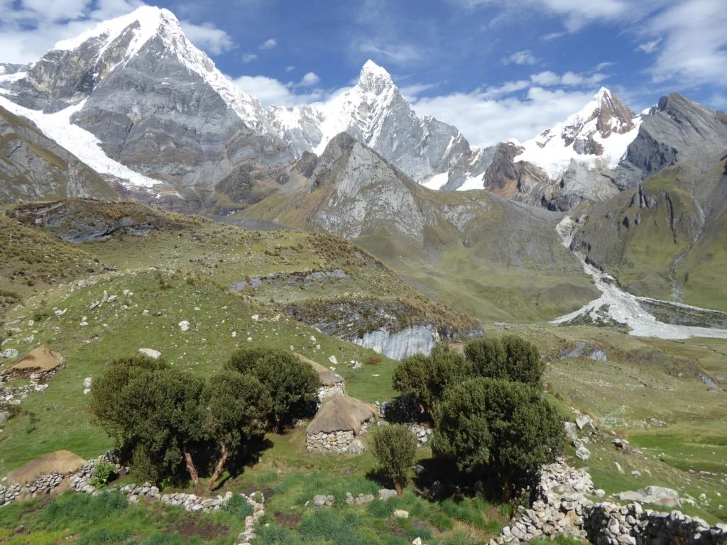
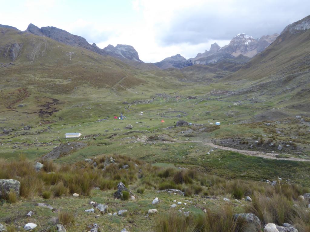
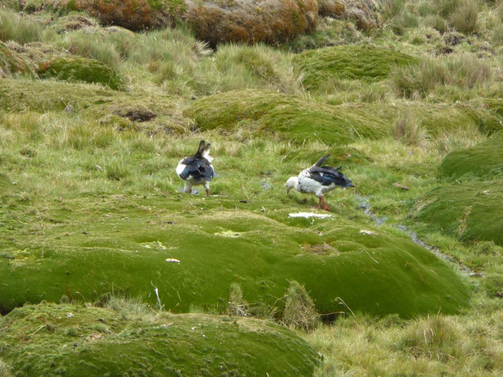
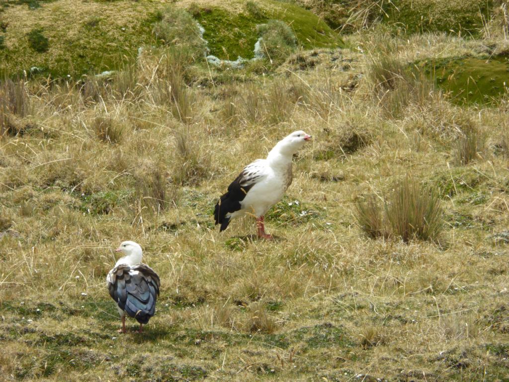
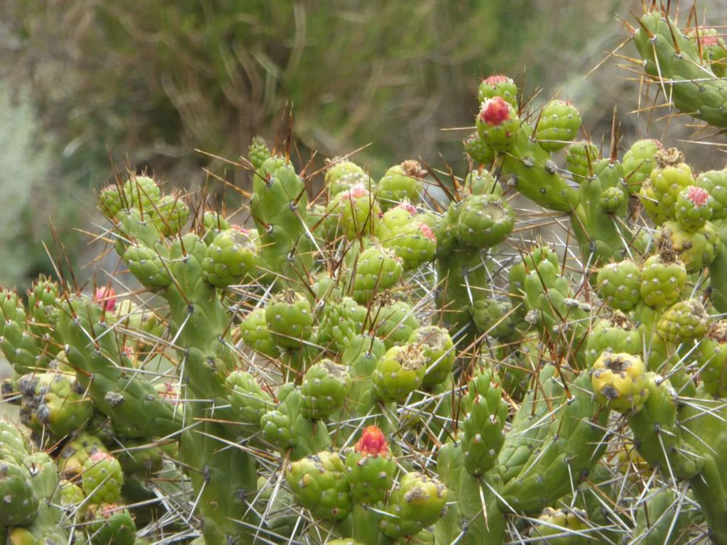
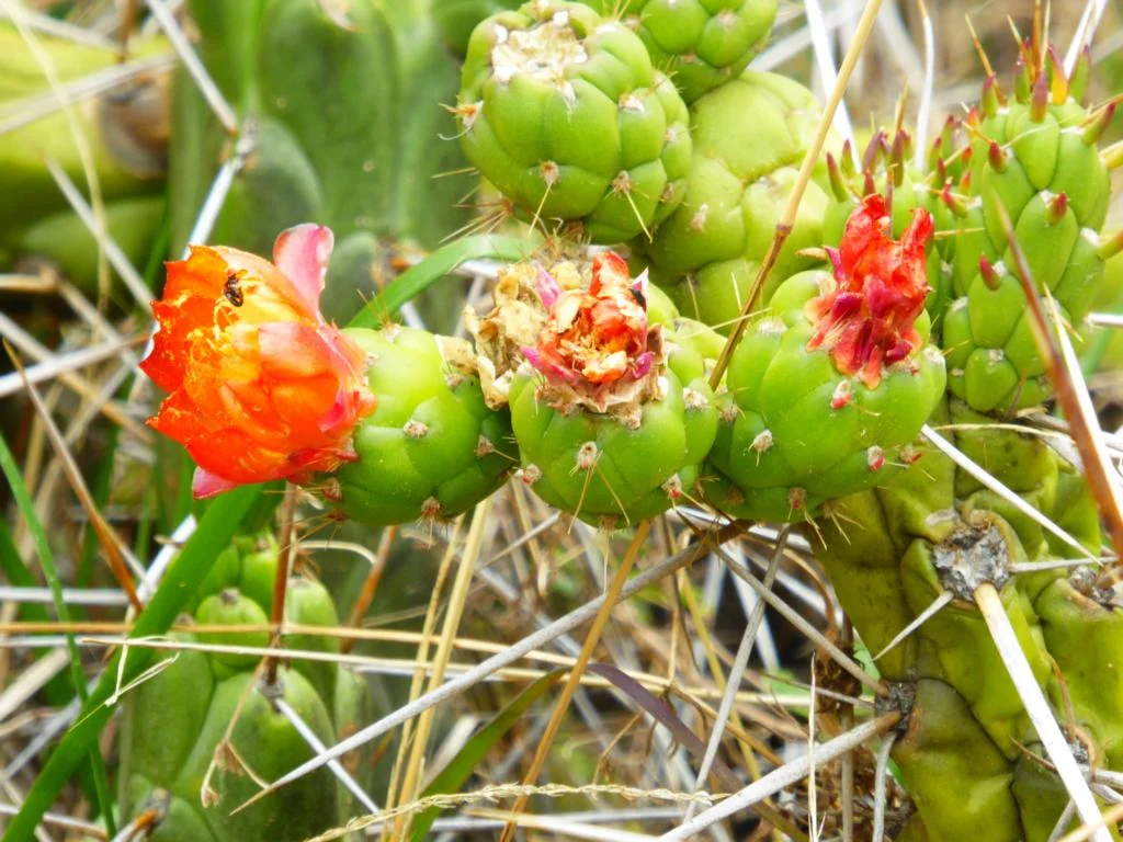
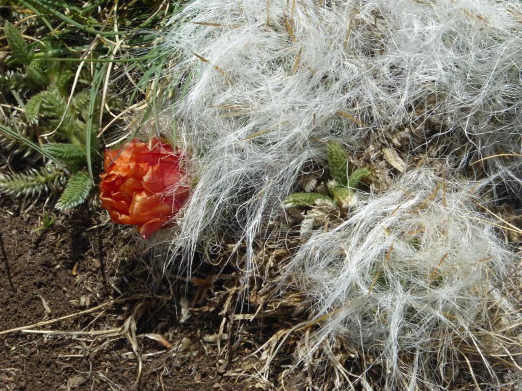
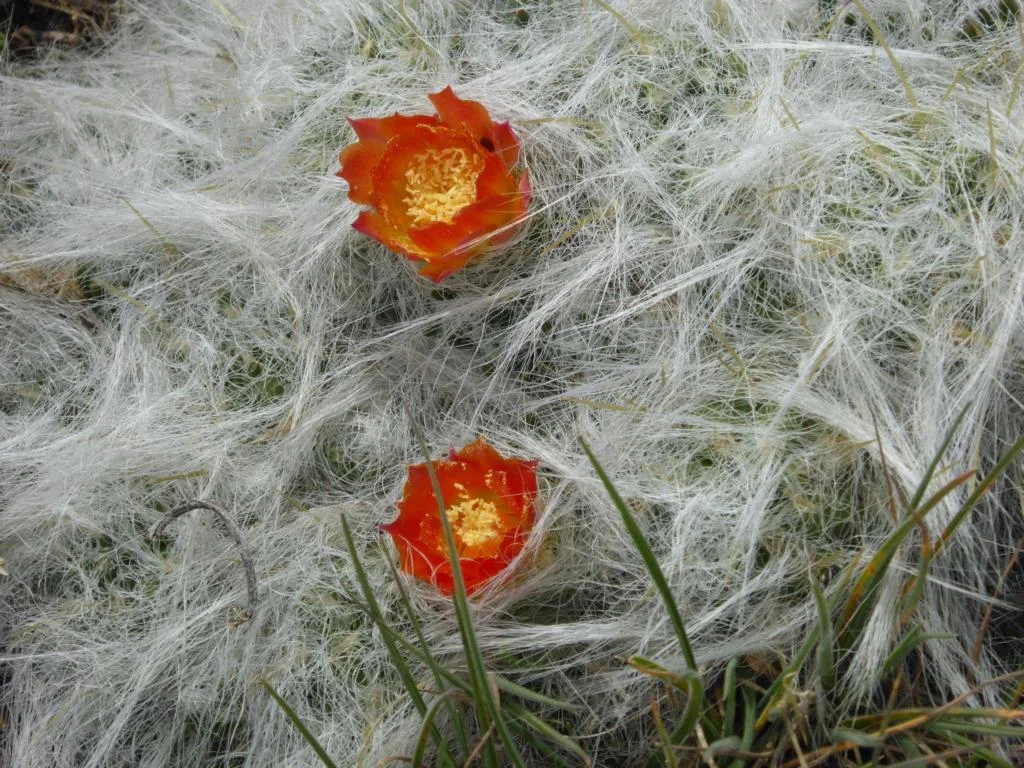
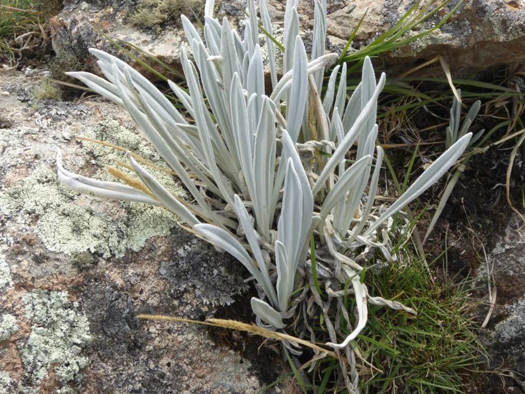
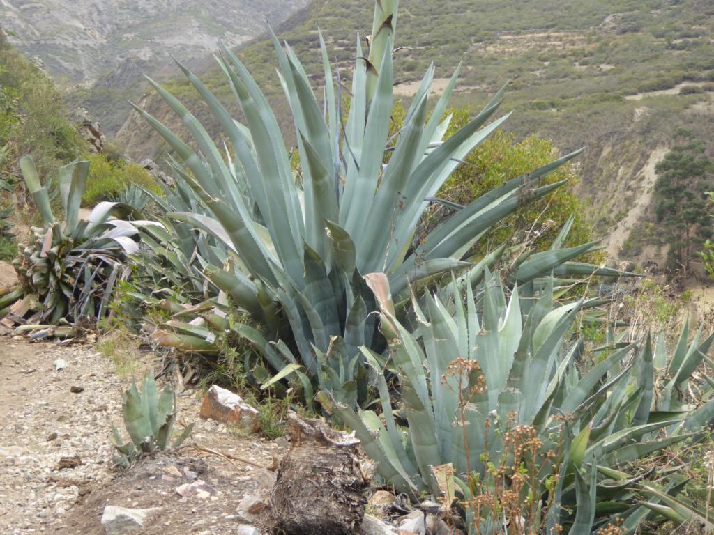
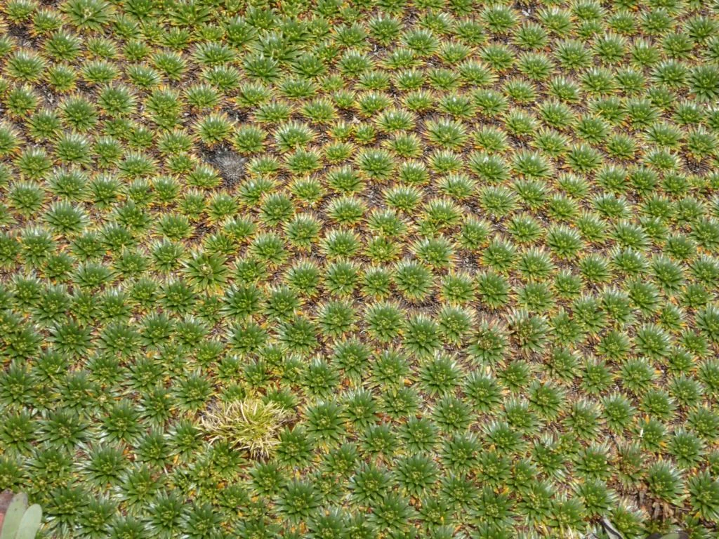
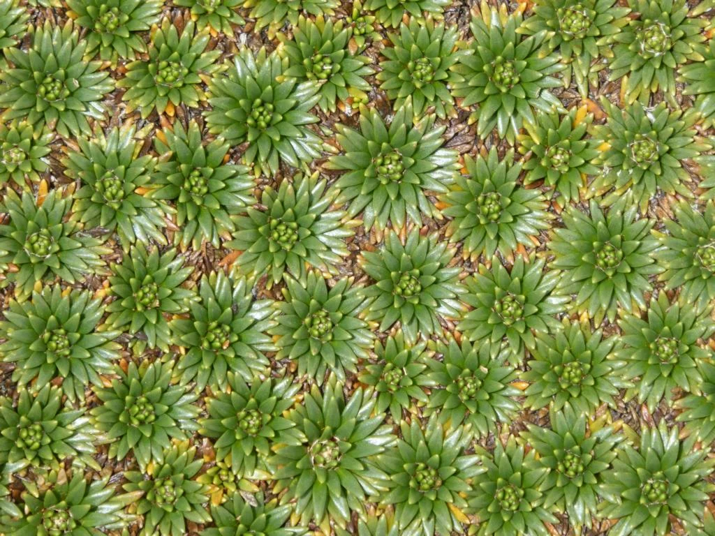
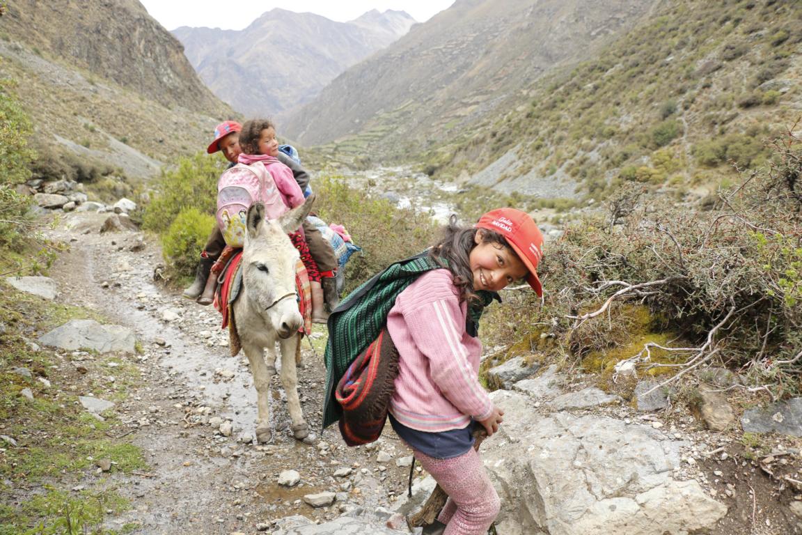
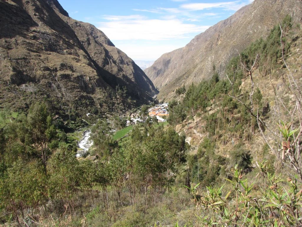
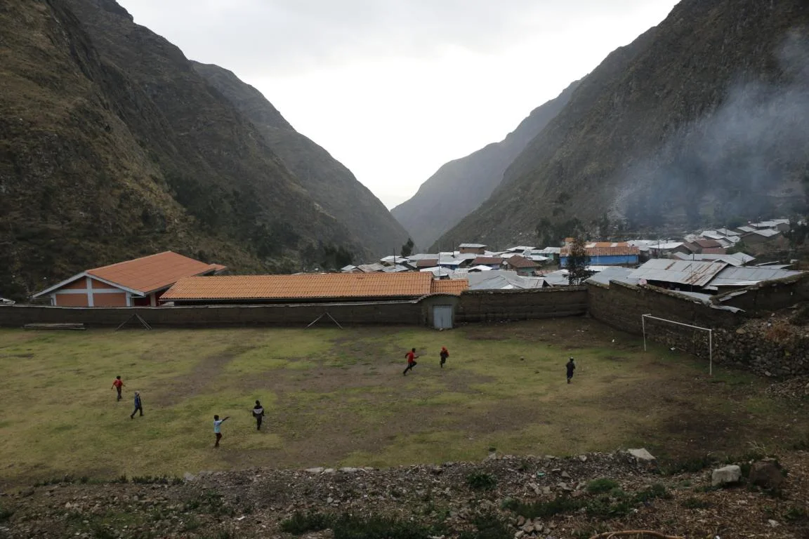
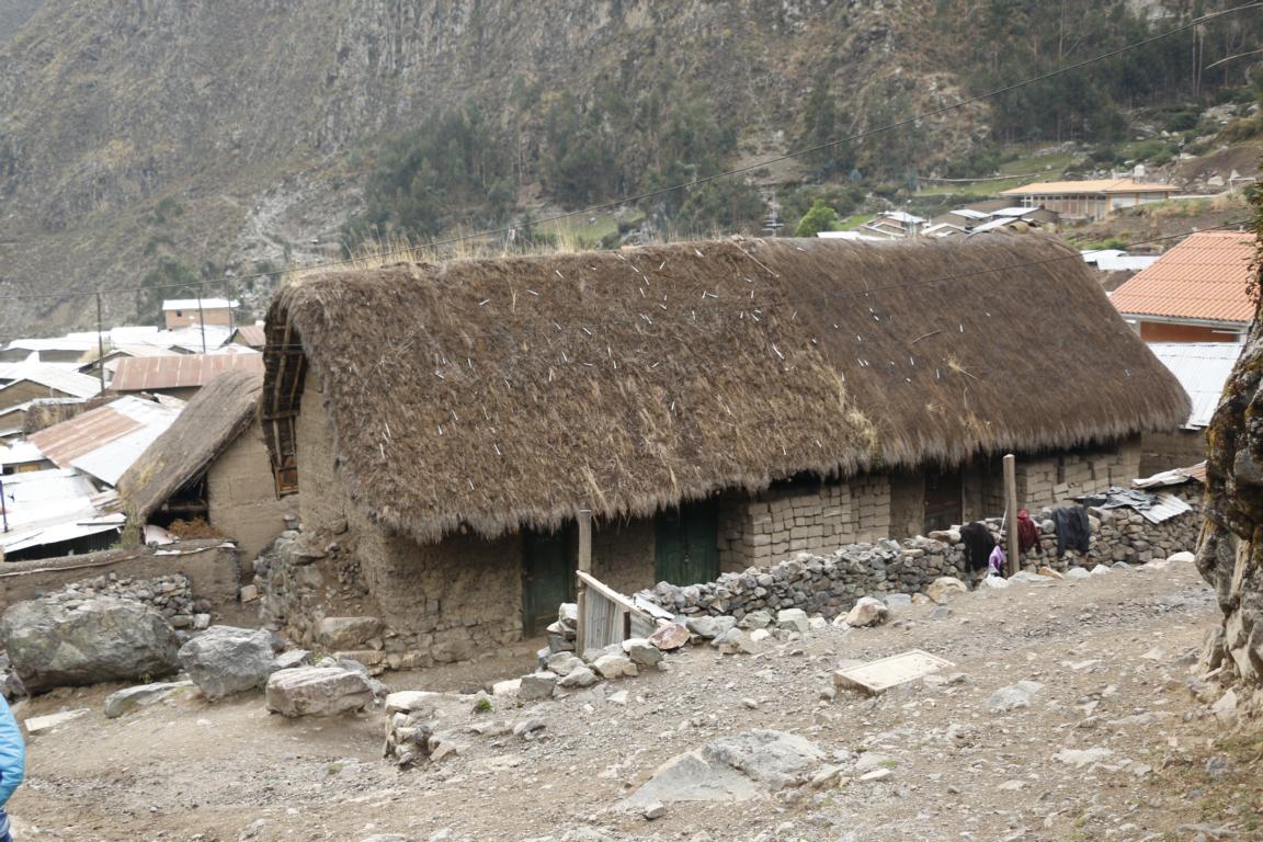
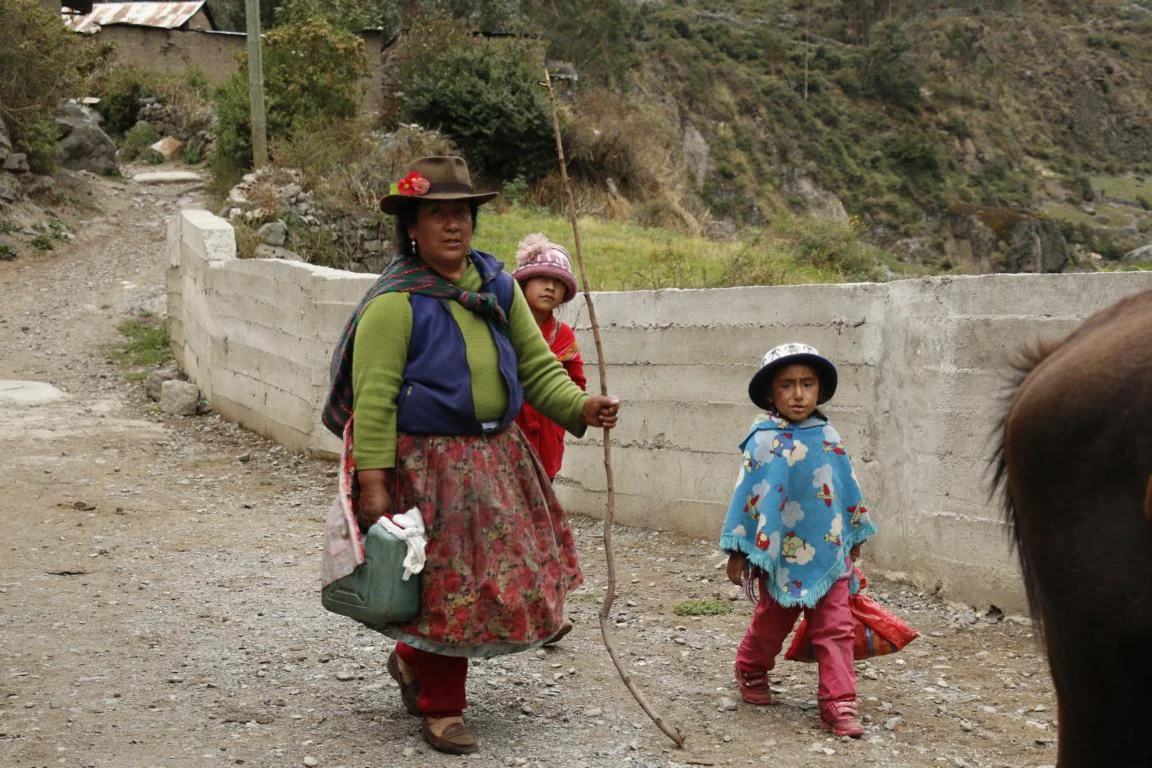
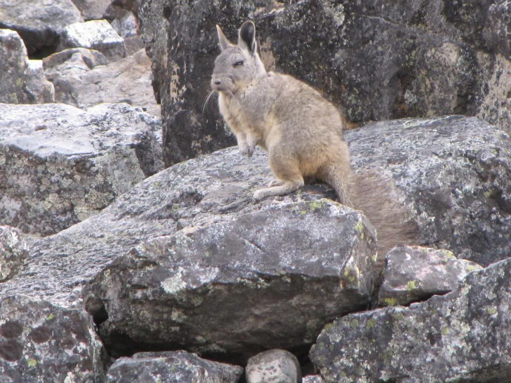
The seventh day was an easy 5-hours walk. We followed the river descending to the village of Huayllapa (3,600m) which since 2012 can be reached by road. It is the only village you reach along the circuit and it provided the opportunity to replenish some of our provisions. Pics show some flowers / plants which we found alongside the trail.
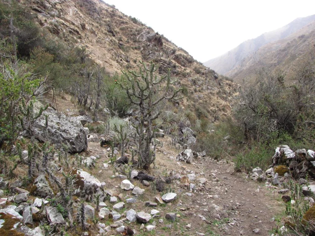
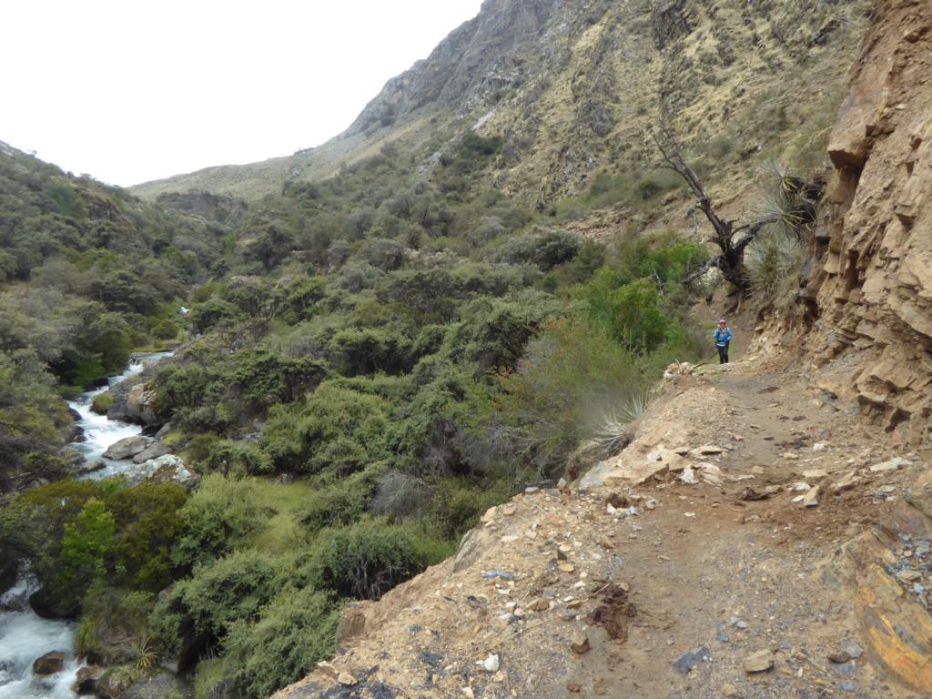
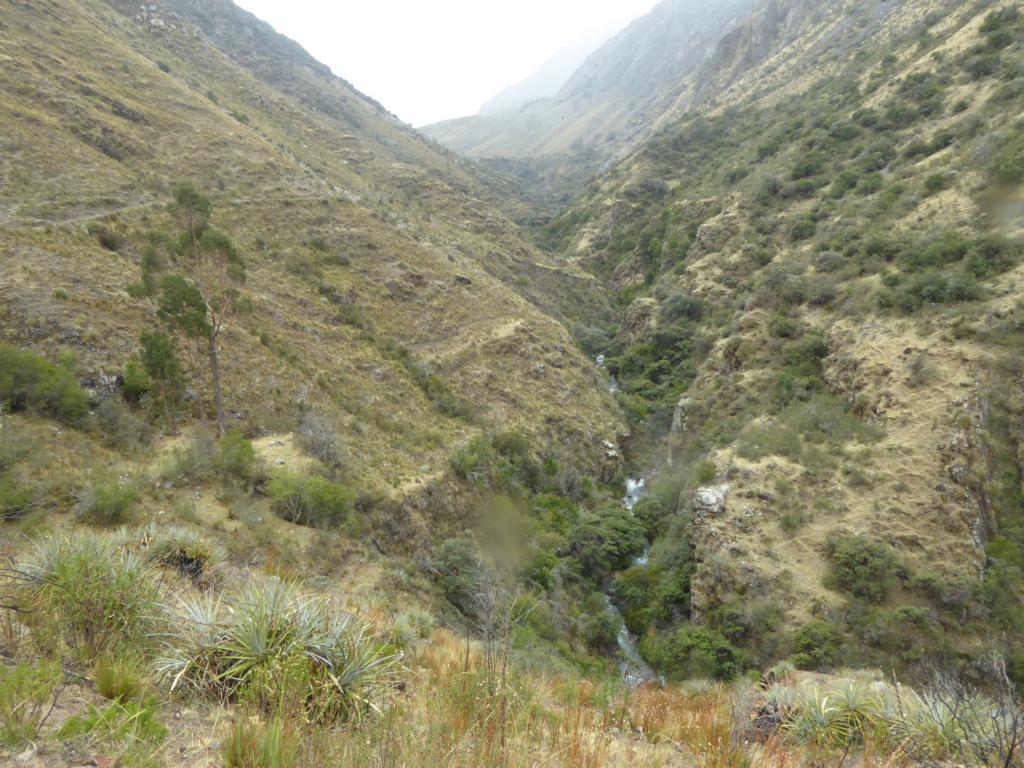
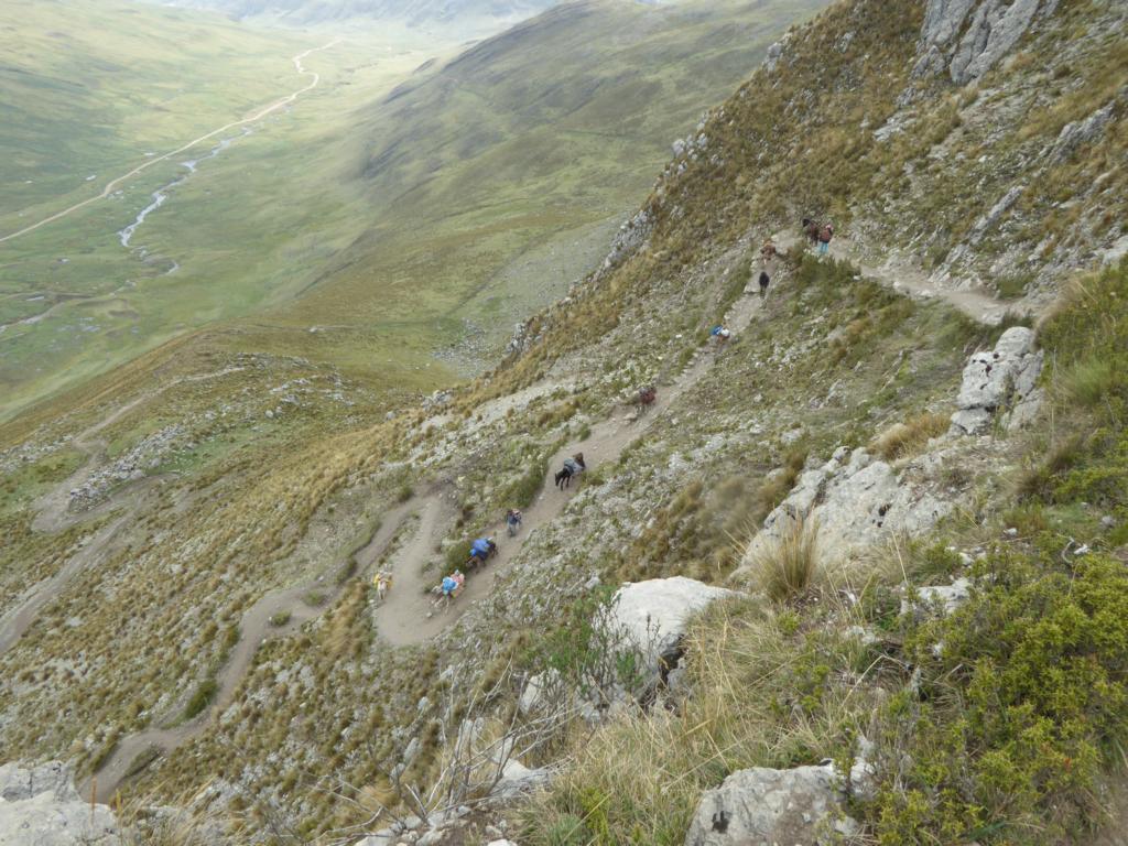
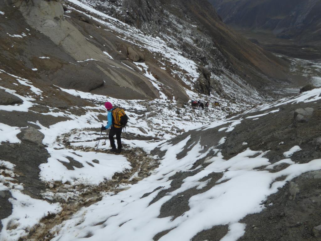
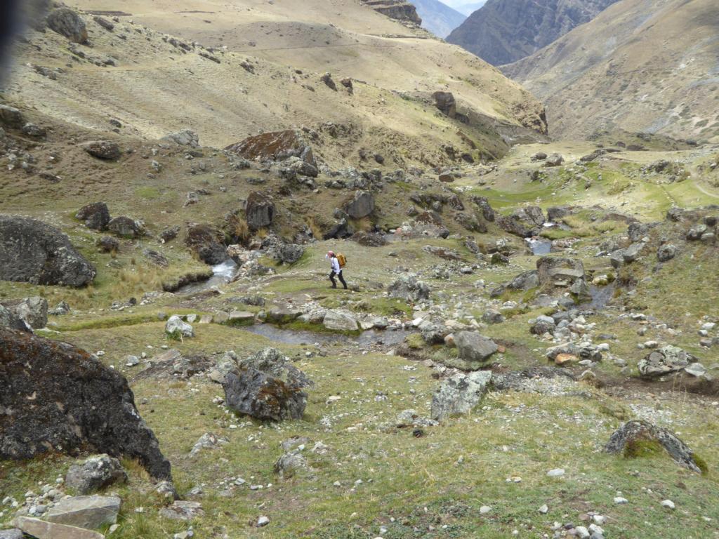
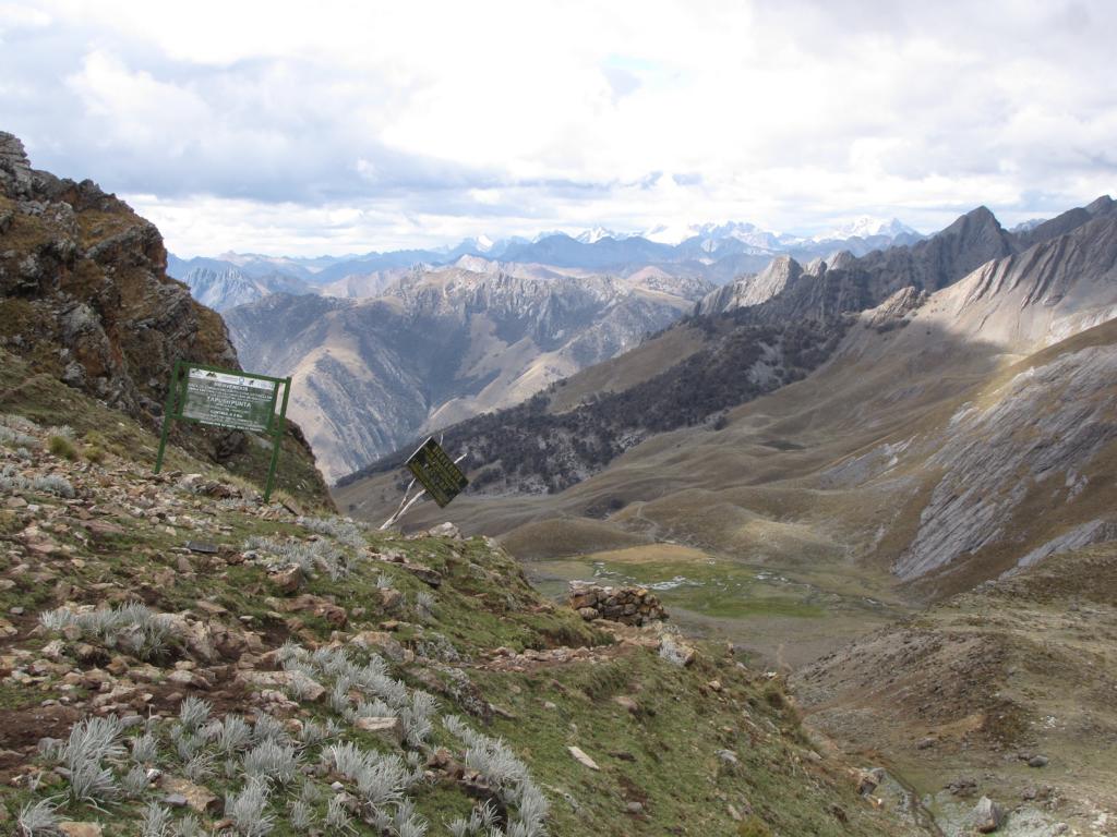
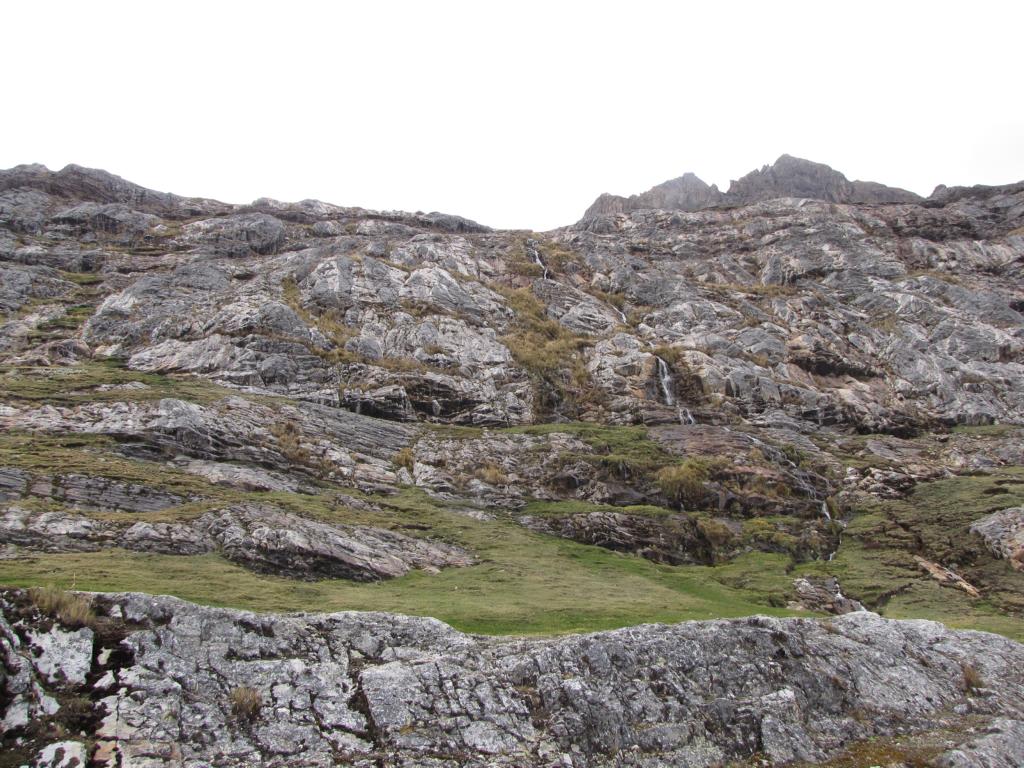
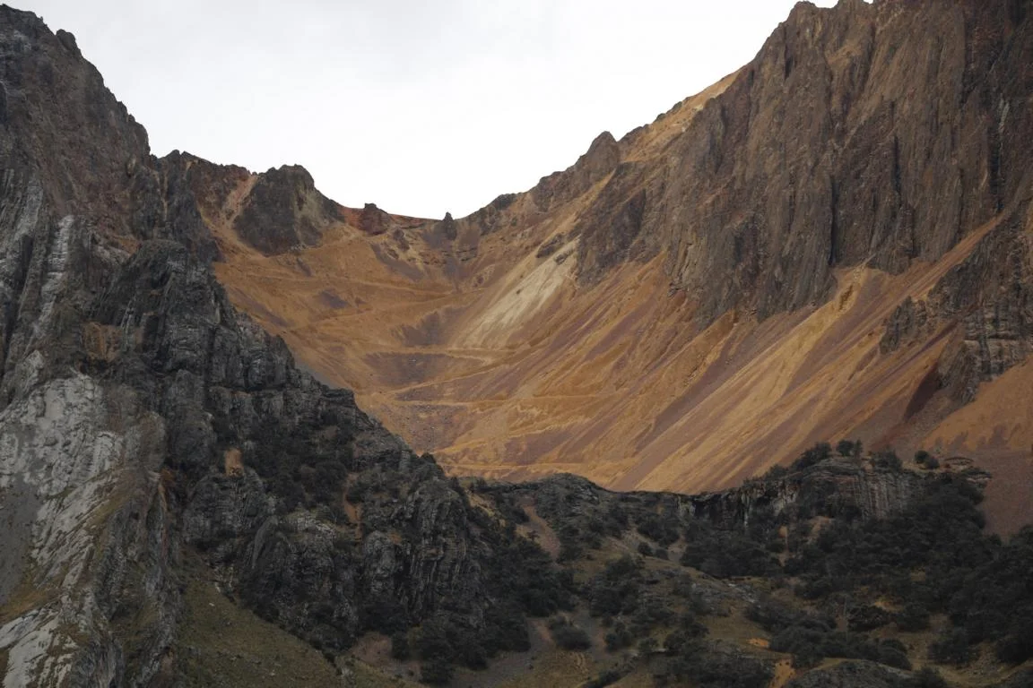
Day 8 was a heavy one. It took us eight hours to hike from Huayllapa (3,600m) over the Trapush Pass (4,800m) to our next camp site at 4,300m. The trail first leads to a V-shape gorge until it finally reaches a glacially-formed U-shape valley.
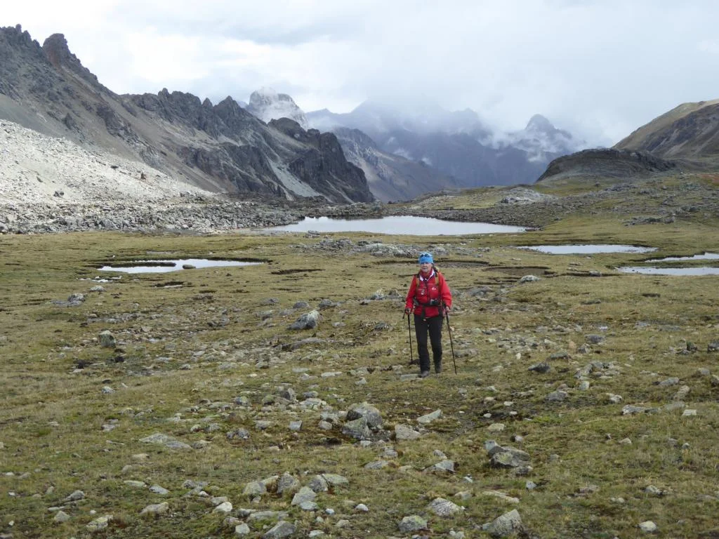
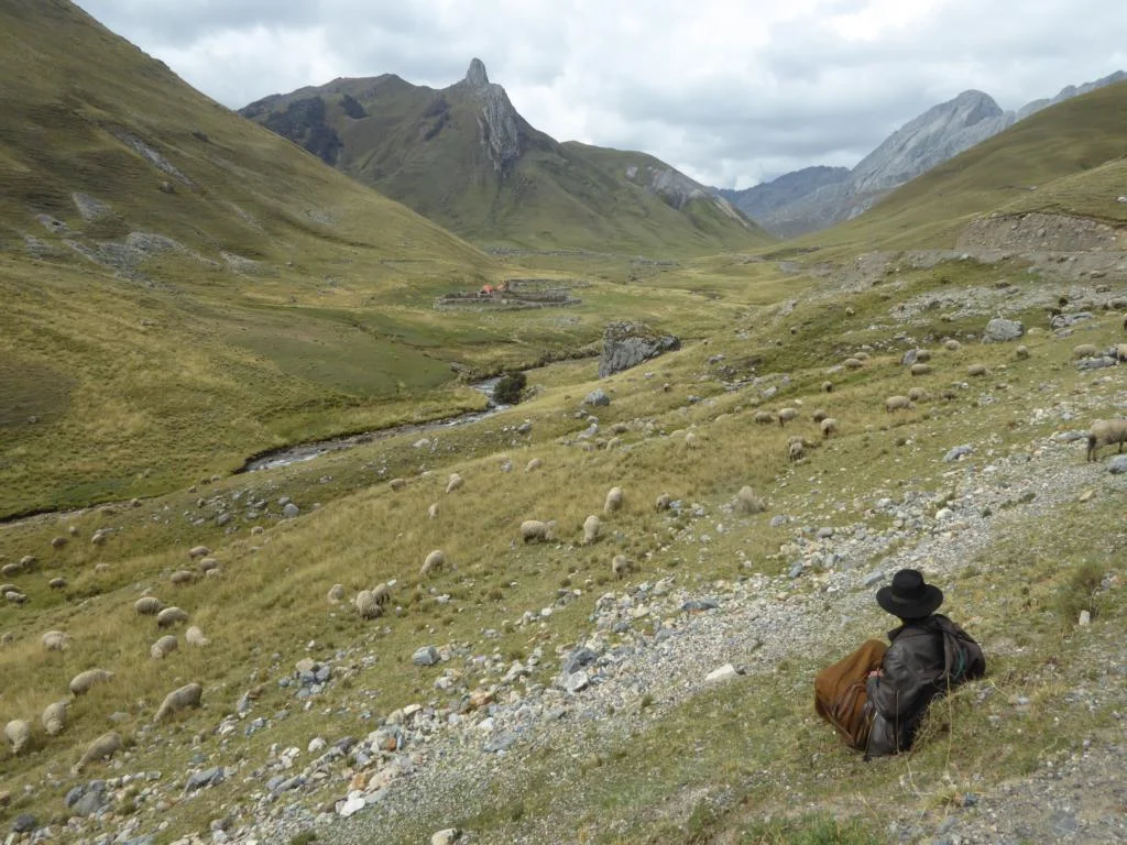
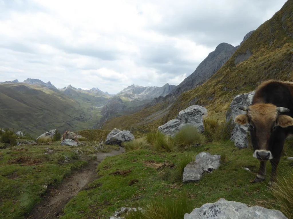
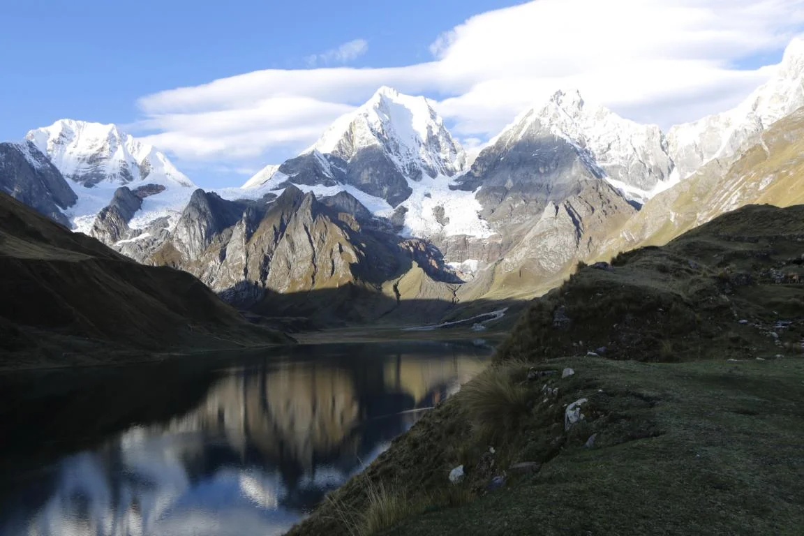
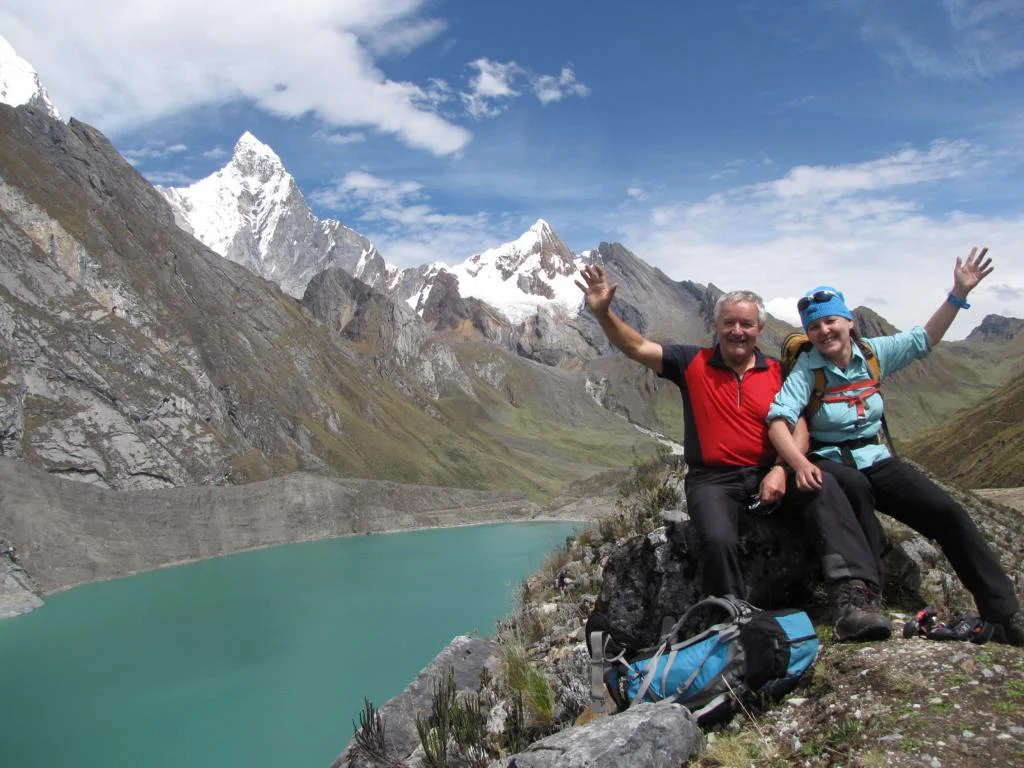
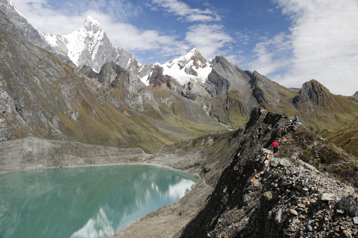
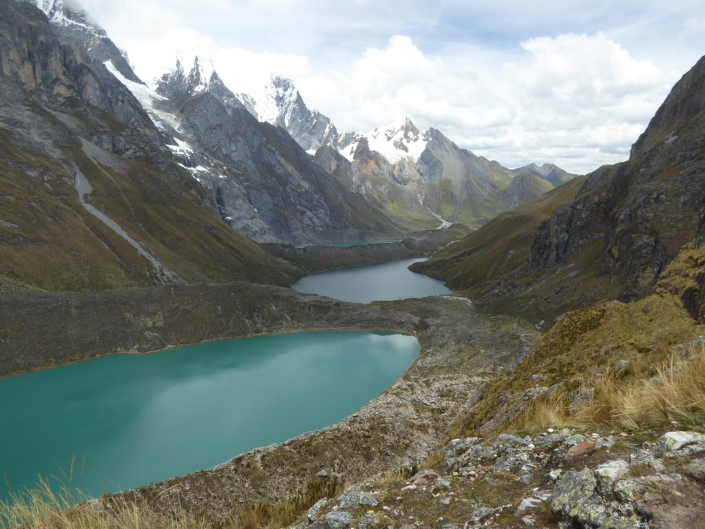
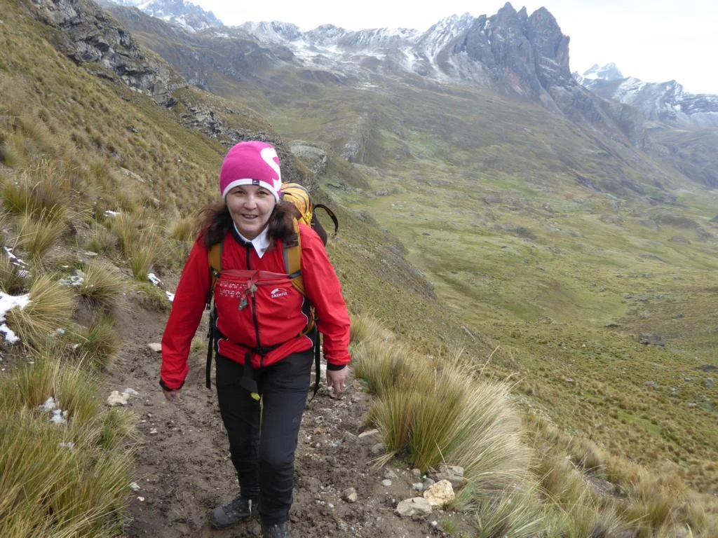
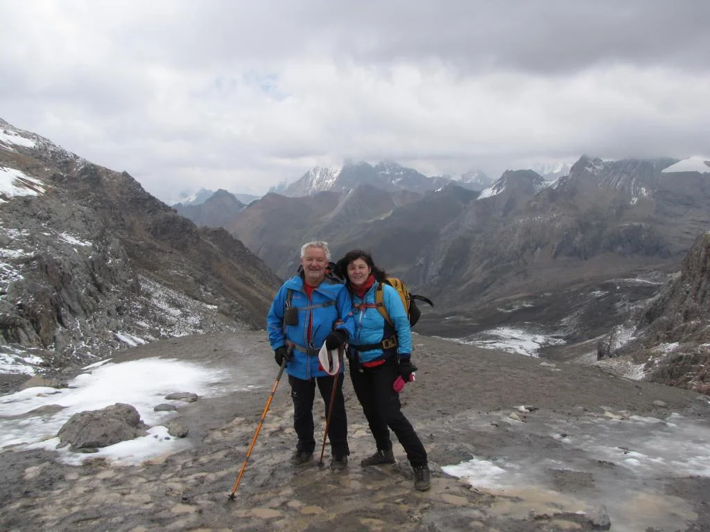
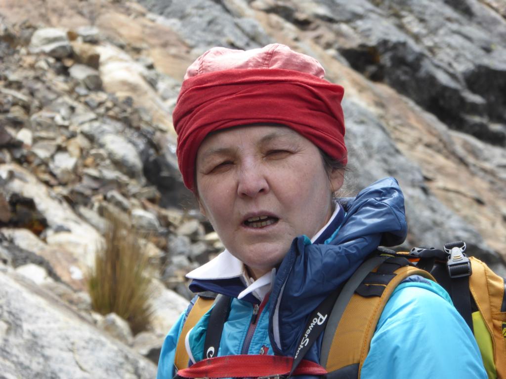
On Day 9 we obviously already felt the strains of the previous days. There is a steep ascend to the LLauch Pass (4,850m) but on the other side of the pass one is rewarded with a breath-taking view of the mountain chain and lakes. Ursula, who in the beginning had some problems with acclimatization, became stronger every day and went the “extra mile” to climb one of the viewpoints / miradores for photo shooting. We pitched up our tents near the Laguna Jahuacocha.

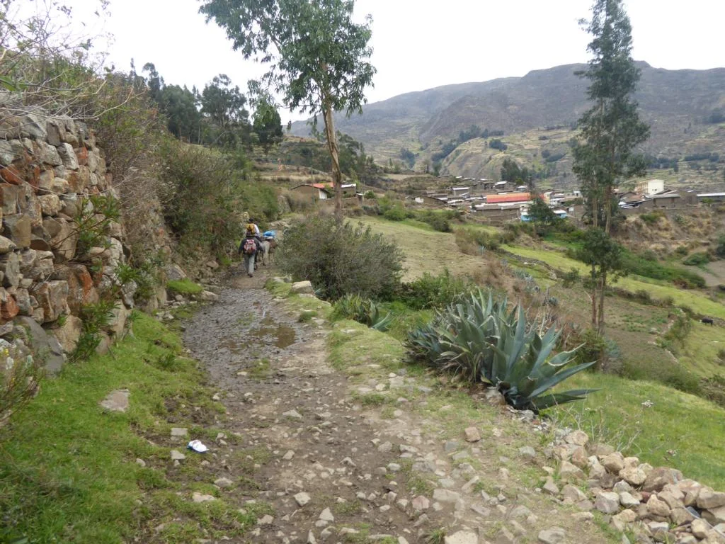
The six-hours hike on day 10 led from Jahuacocha (4,100m) to the small village of Pacllon (3,300m) from where we returned by taxi to Chiquian.
All in all, the trekking tour was tougher than we had expected.