Patagonia January 2017
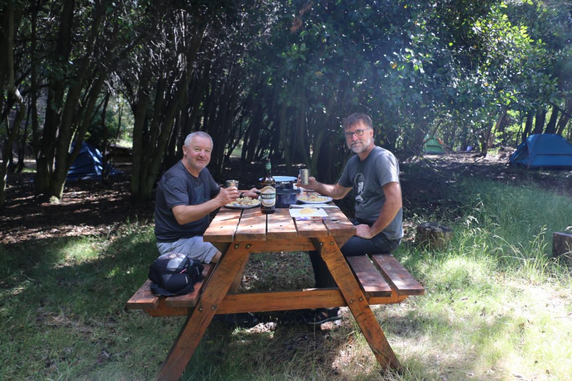
Franz and I spent an amazing four weeks in Patagonia zig-zagging between the Ruta 40 (Argentina) and the Carretera Austral (Chile). With most trails closed in Bariloche due to bad weather we moved to El Bolson where we conducted a two-day hike to the Refugio Retemal. Moving south we visited the Parque Nacional Los Alerces and crossed at Paso Futalefu into Chile to follow the Carretera Austral (which is covered by a separate blog). A week later we re-entered Argentina via Paso Roballo close to the end of the Carretera Austral.
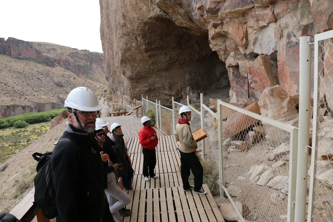
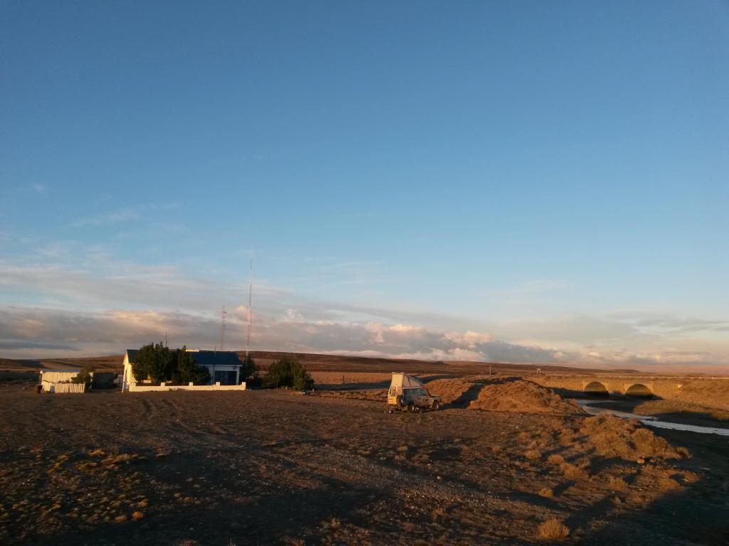
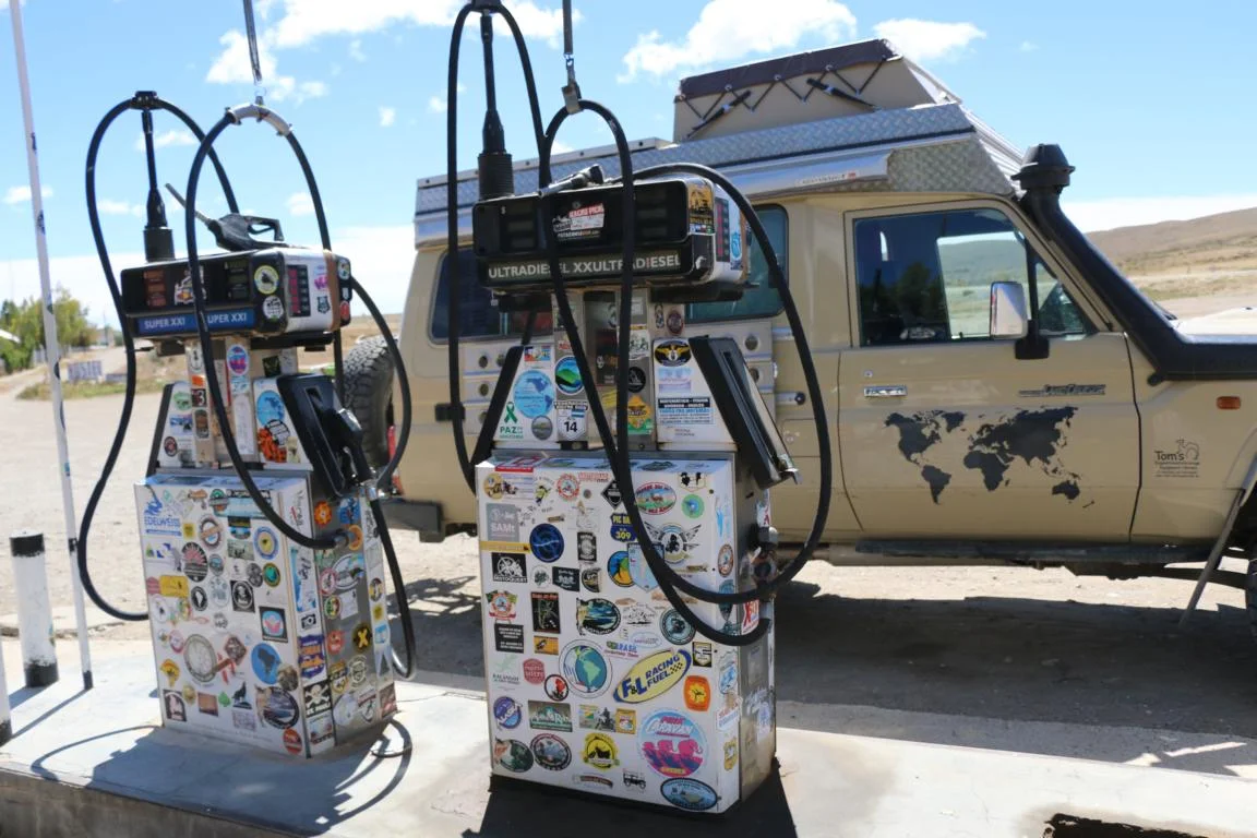
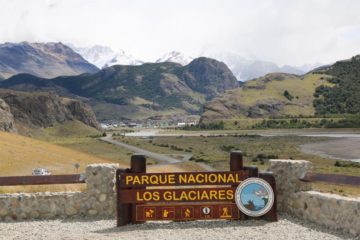
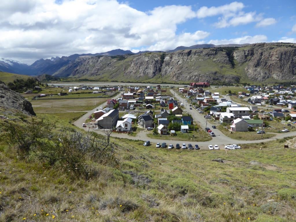
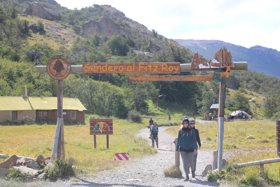
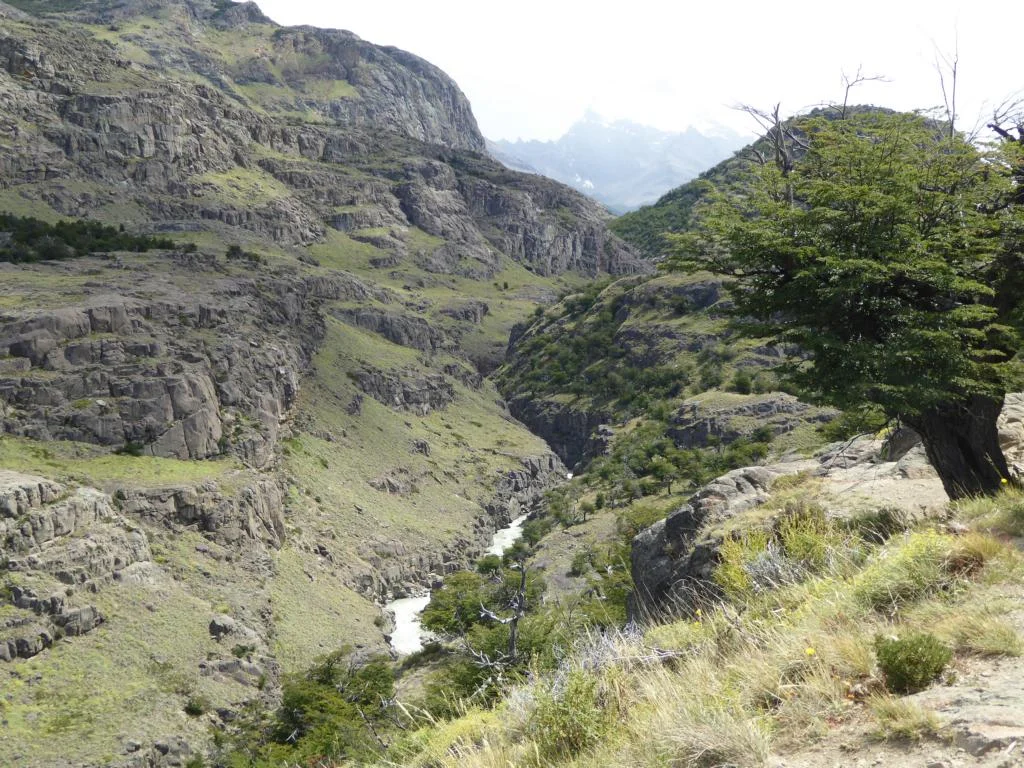
We spent a night in in Bajo Caracoles a small village with ten houses, a gas station (the only one within 200 km, but unfortunately it was dry) and a constant wind of 60 km/h. The next morning we visited the Cueva de los Manos and then moved on to the Parque Nacional Los Glaciares (Glacier National Park) to hike to Mt. Fitz Roy and Cerro Torre.
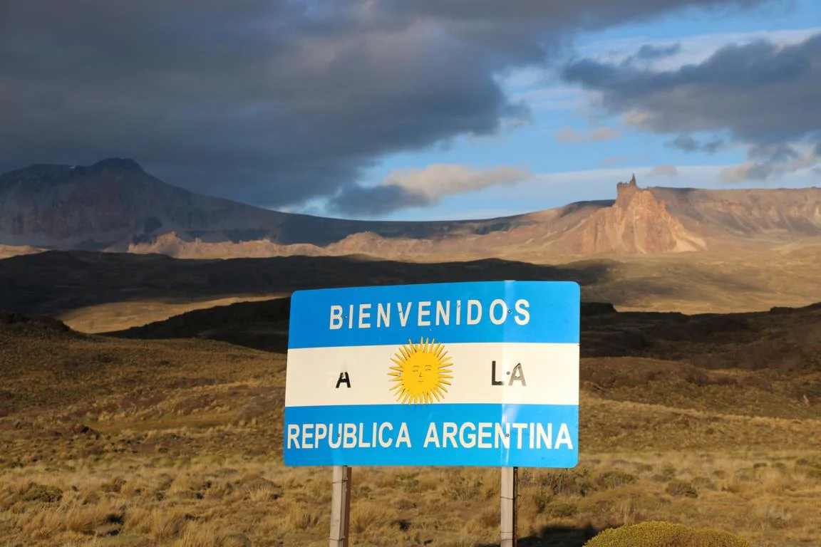
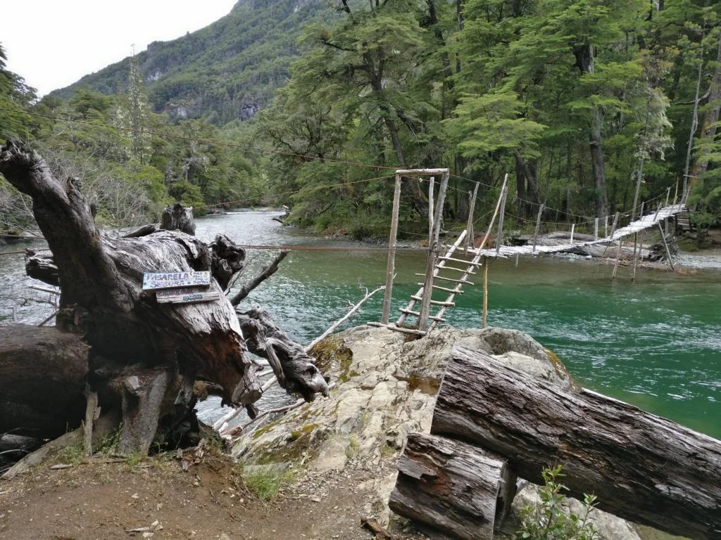
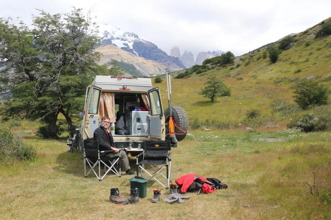
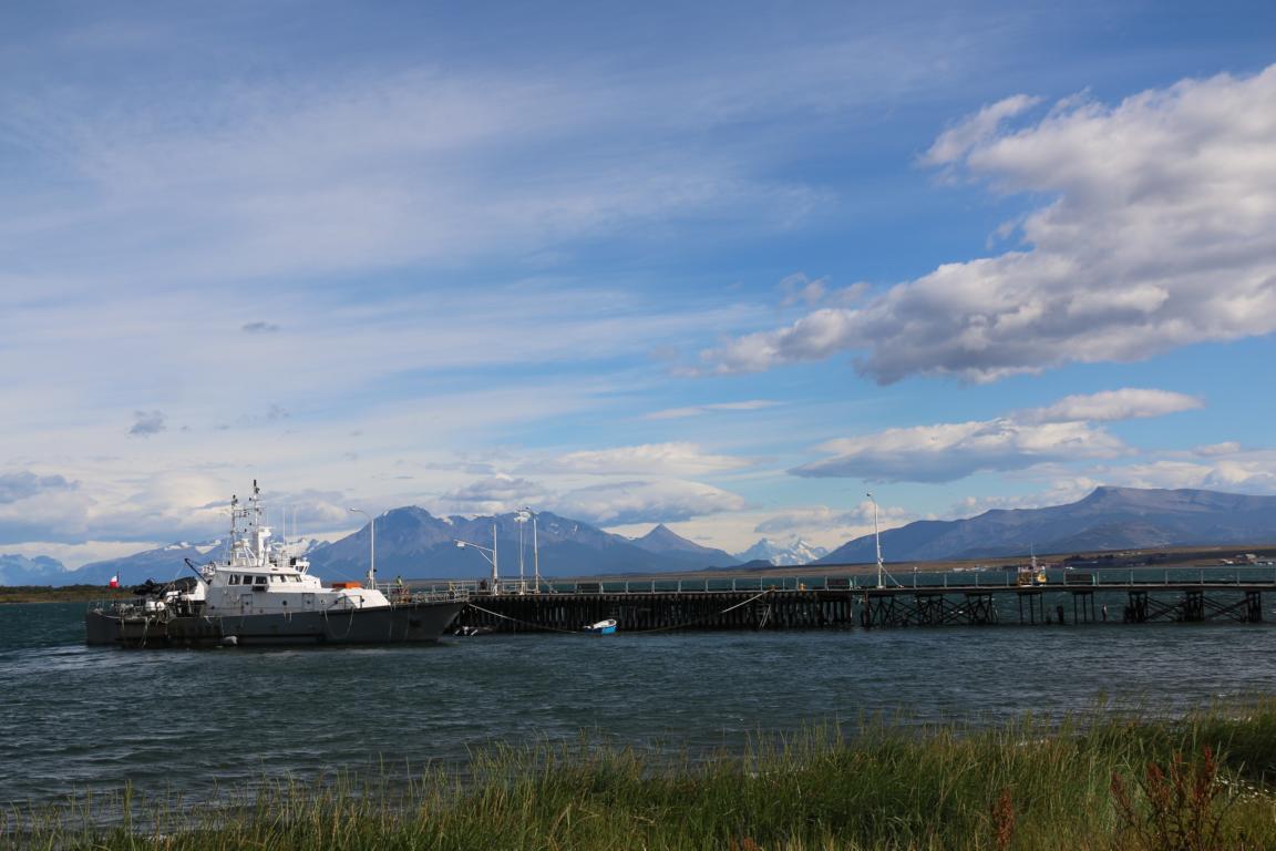
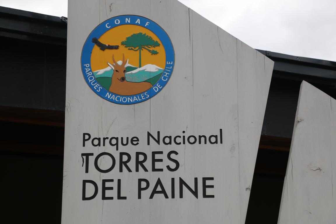
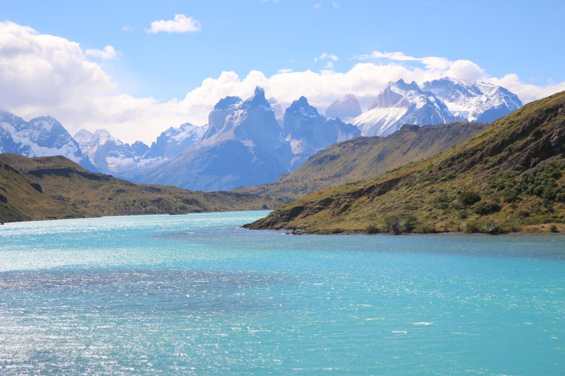
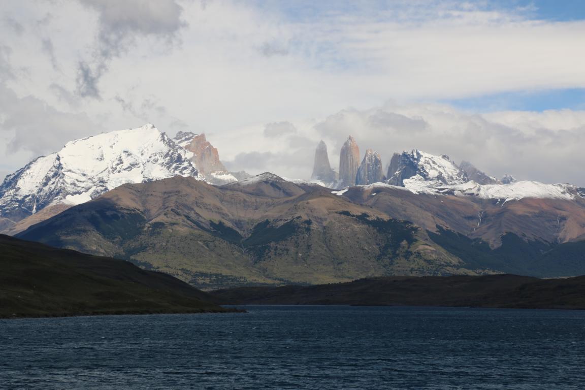
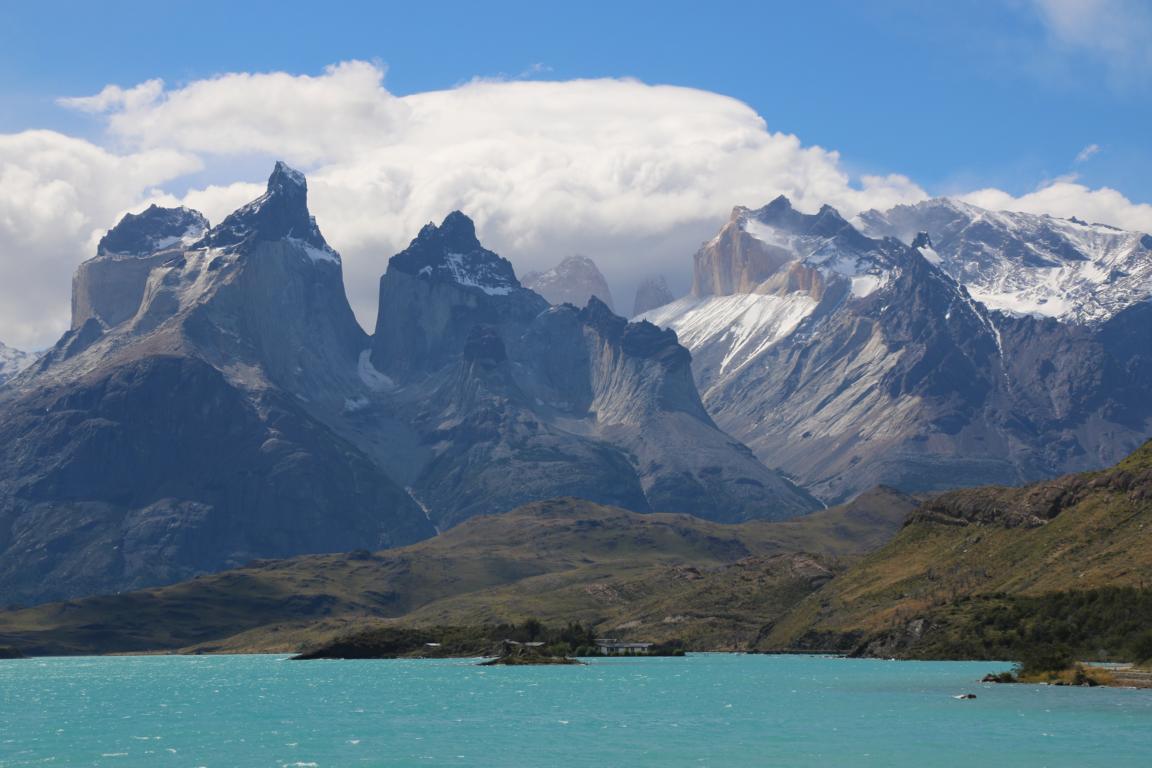
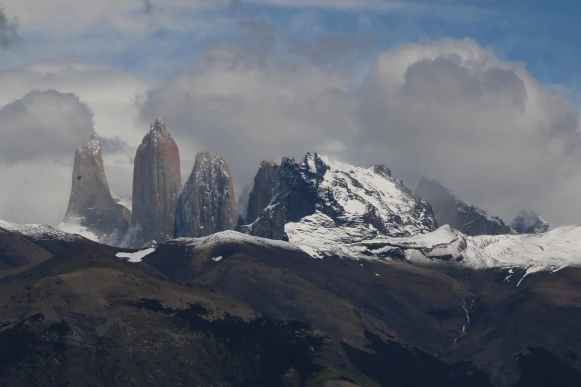
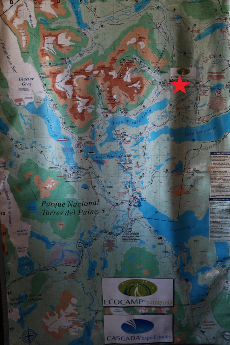
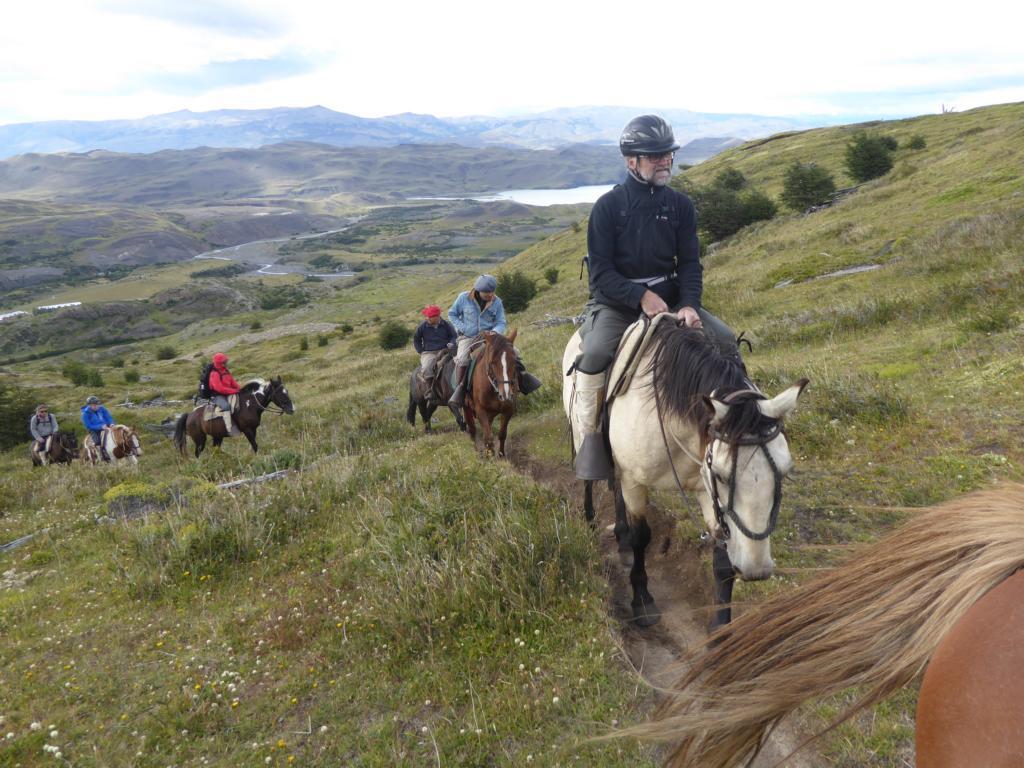
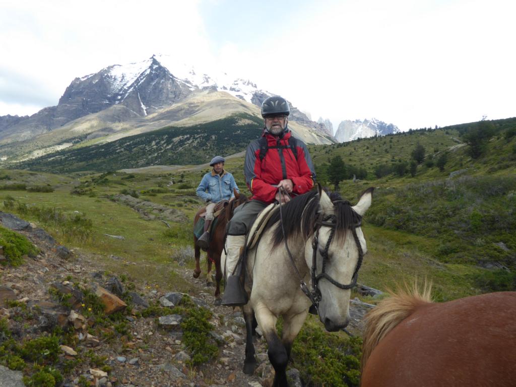
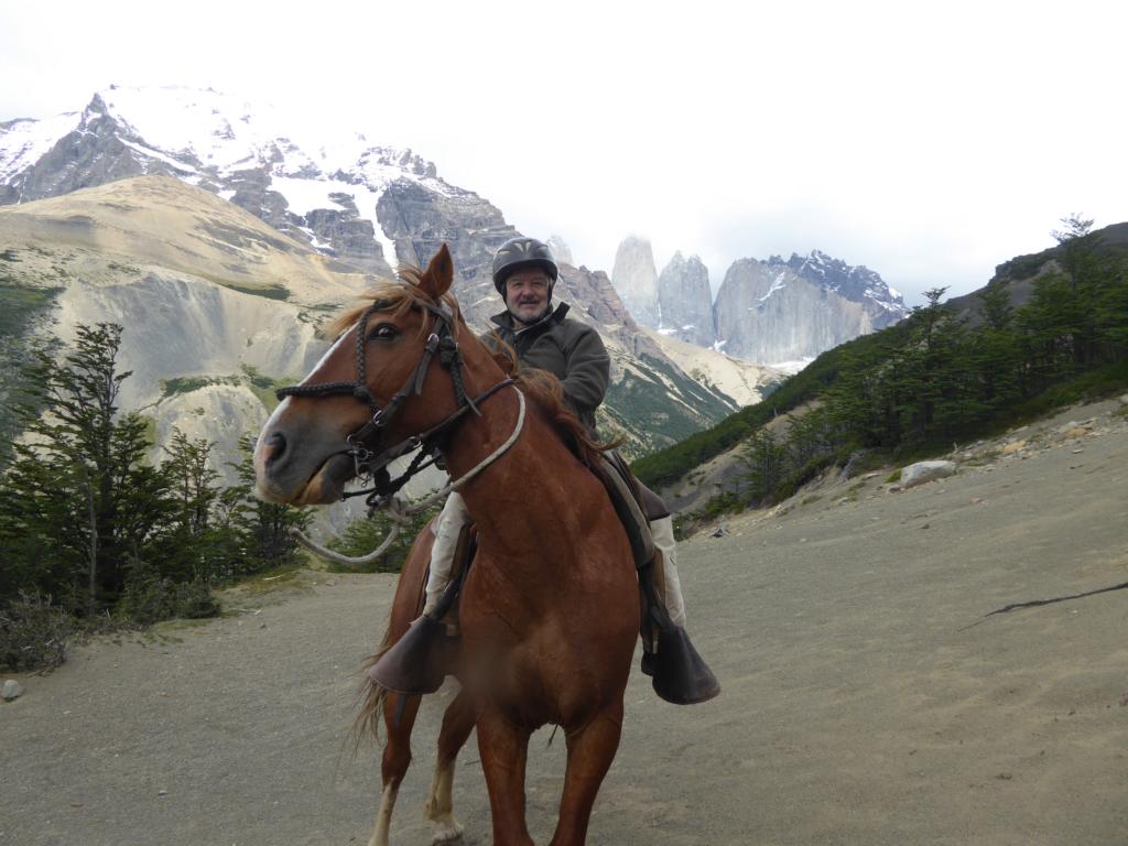
Finally we crossed the boarder to Chile agan in order to visit Puerto Natales and the Parque Nacional Torres del Paine for hiking, horseback-riding and kayaking. The photos show
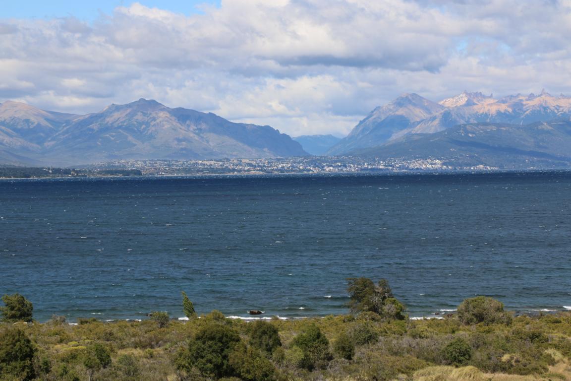
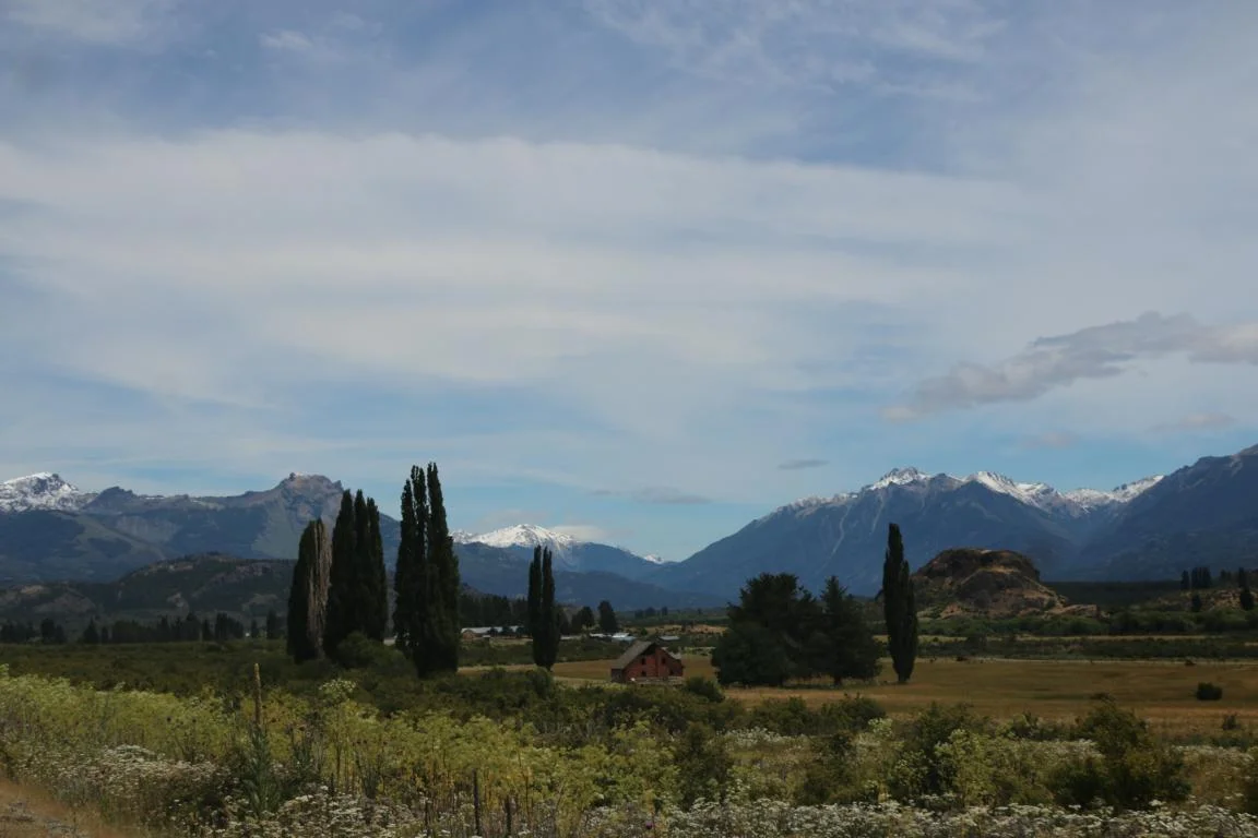
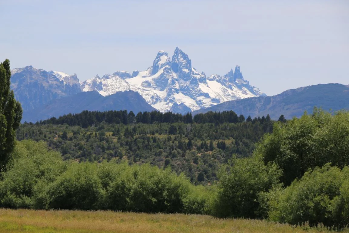
Bariloche, called the “St. Moritz of Argentina”
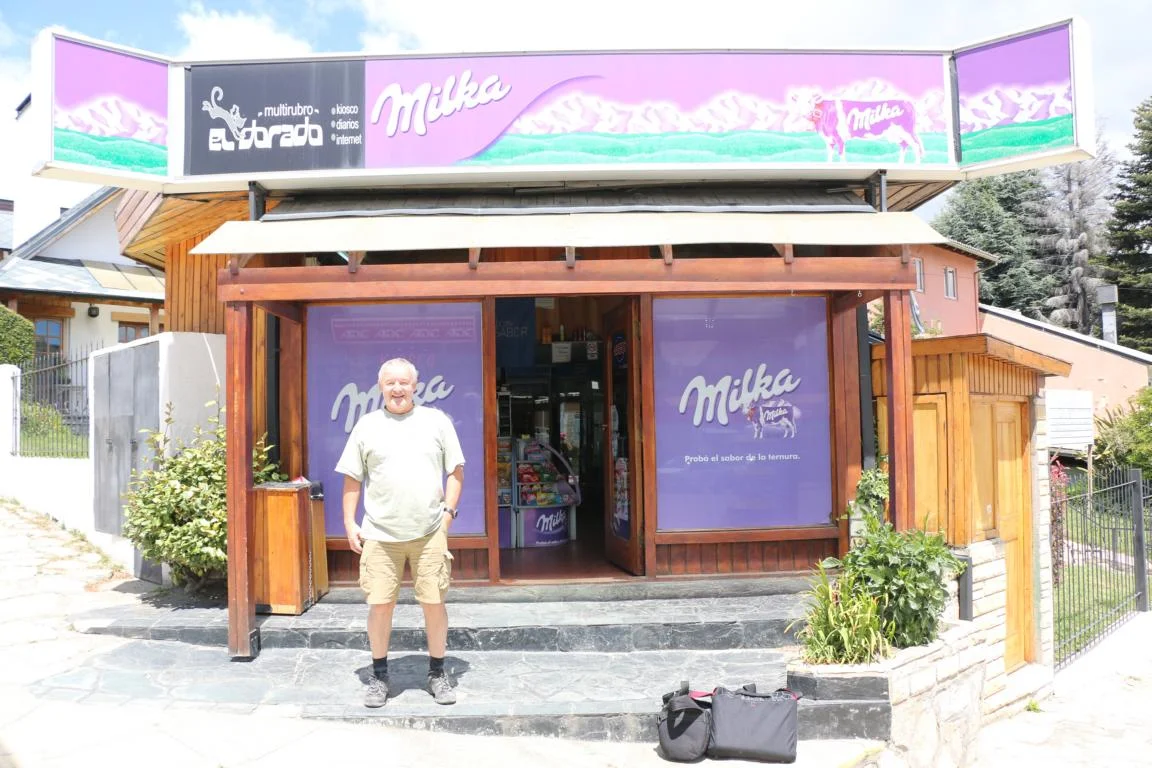
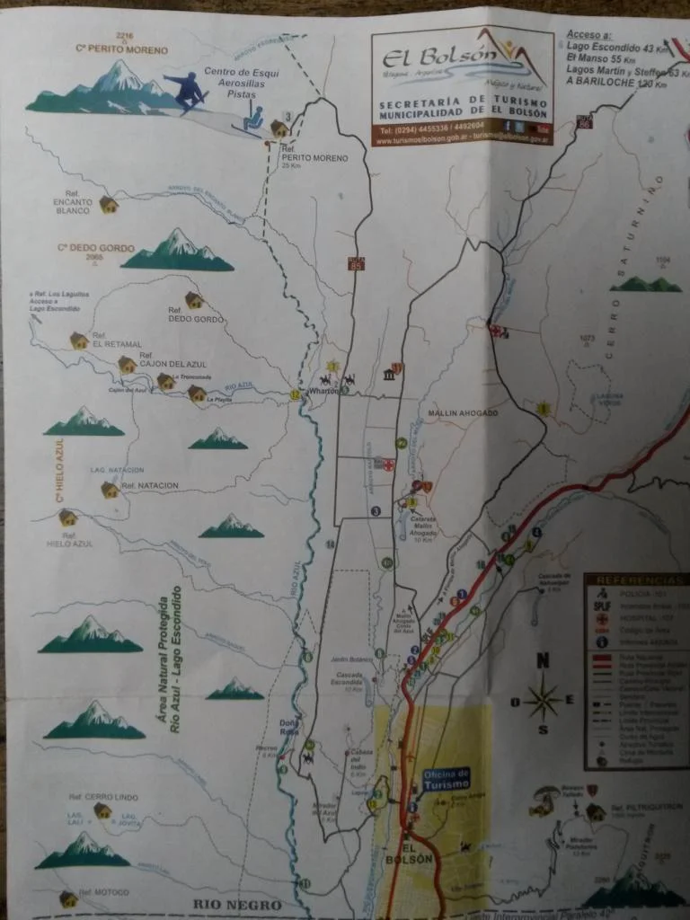
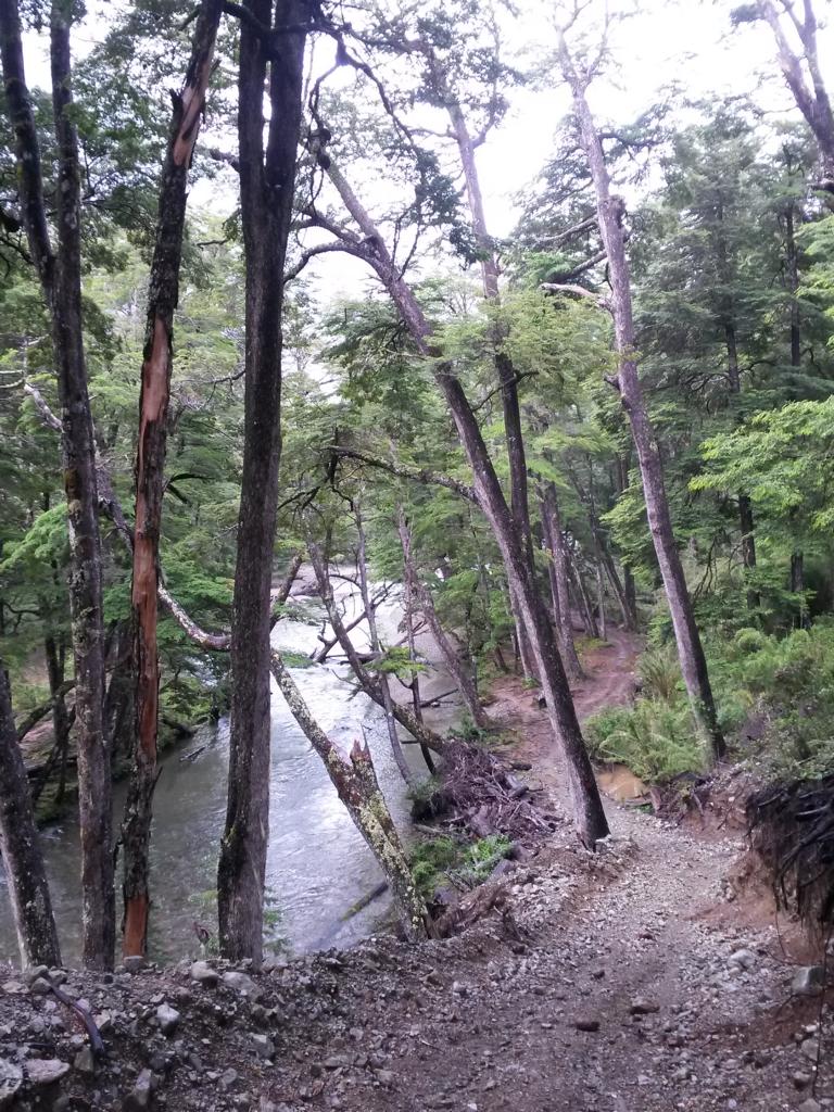
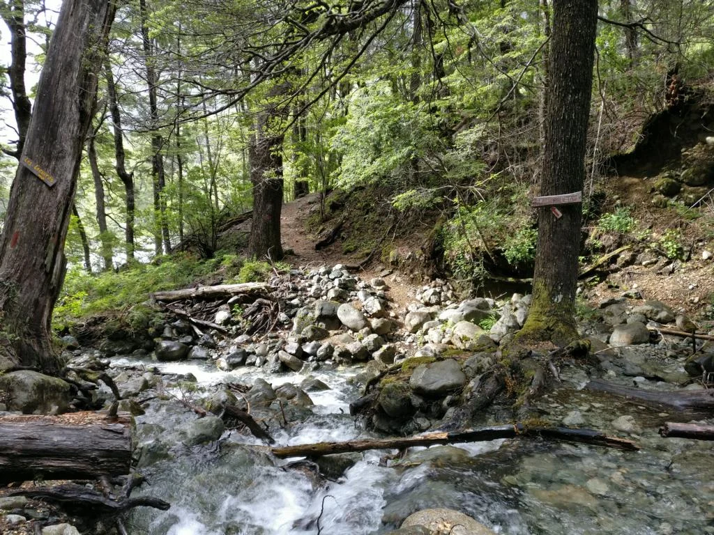
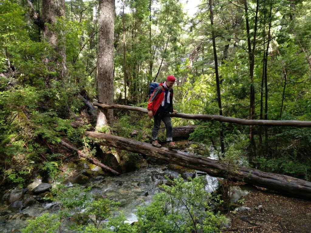
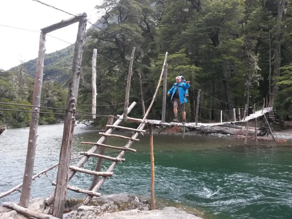
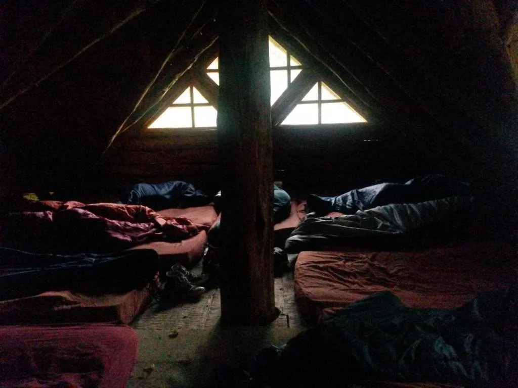
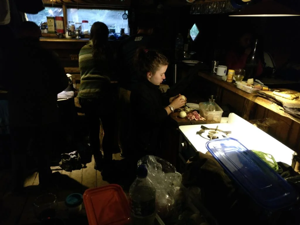
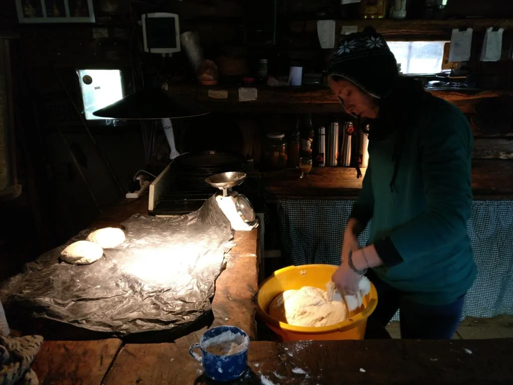
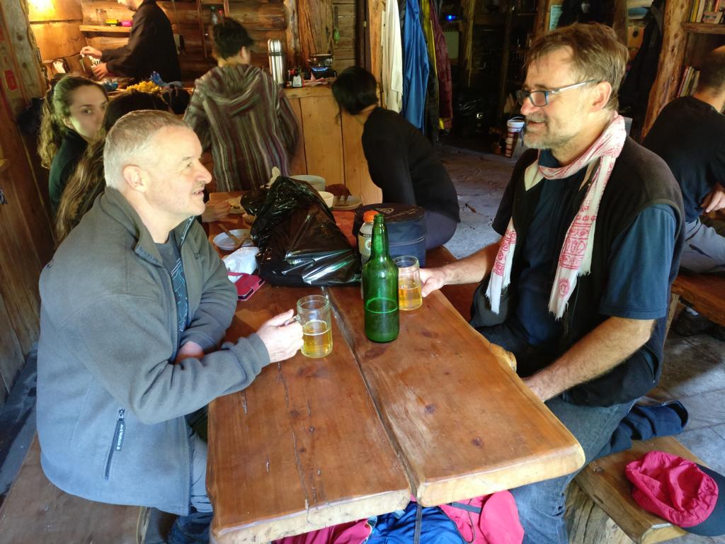
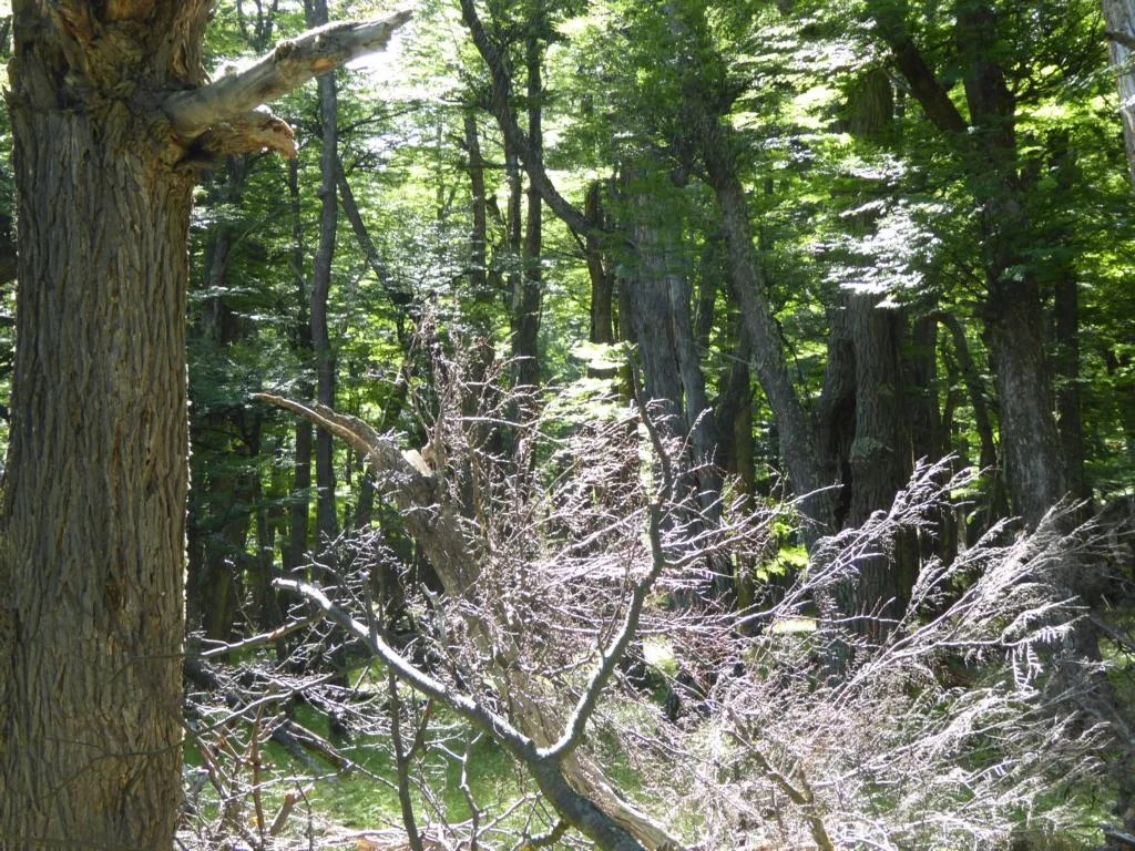
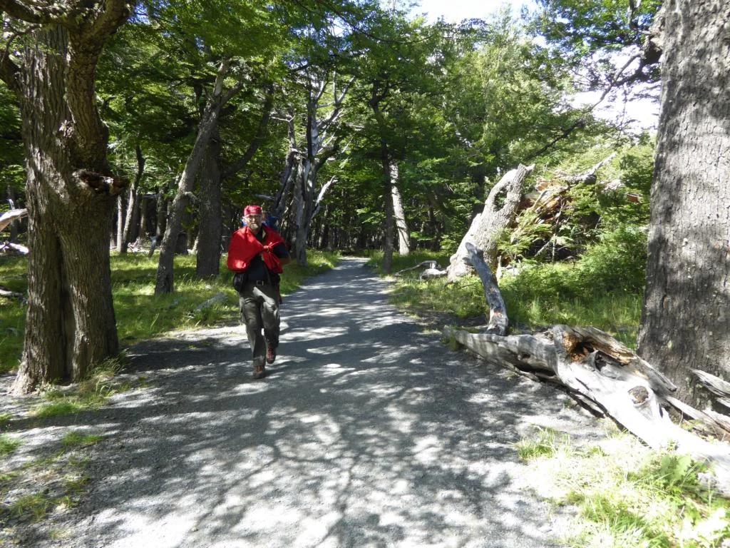
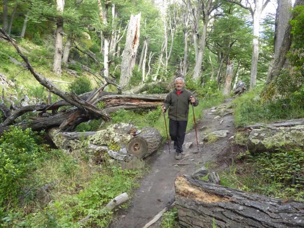
Hiking in El Bolson to the Refugio Retemal. While mountaineering seems to be very popular among young Argentinians one hardly finds anybody older than 35 years of age in the mountain chalets.
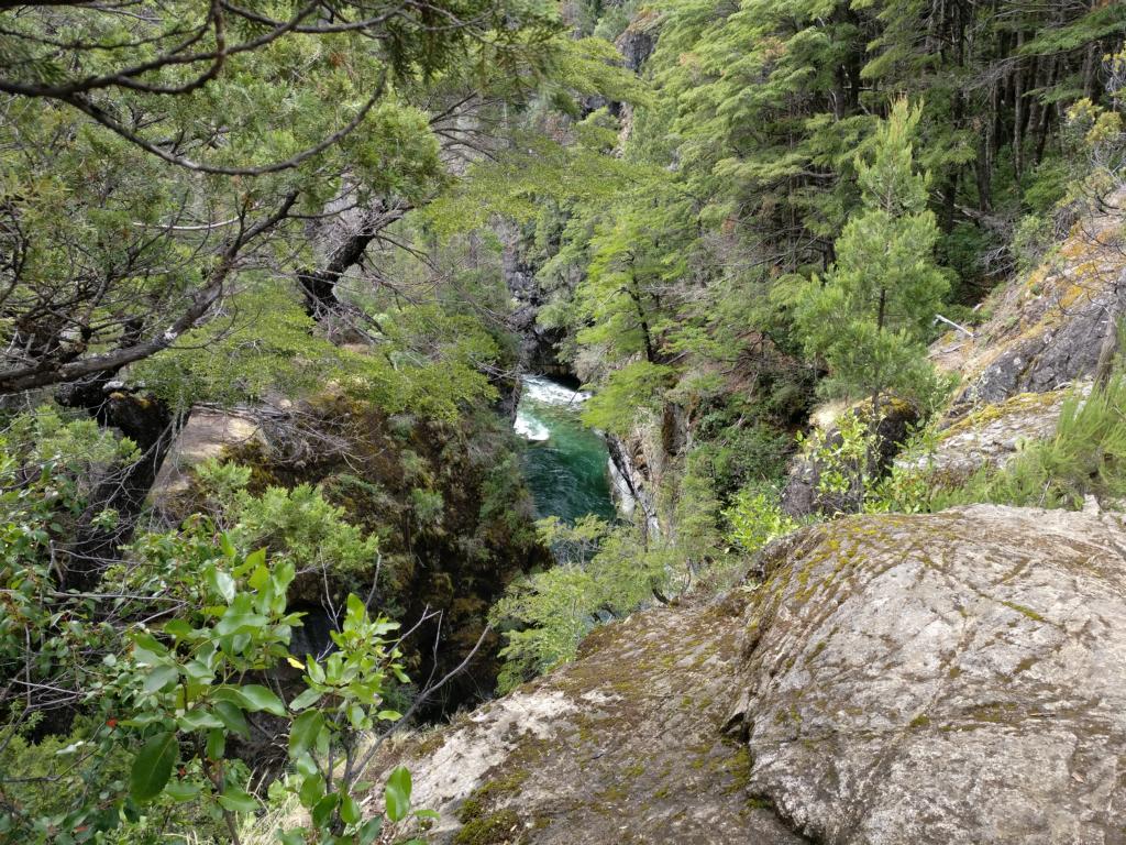
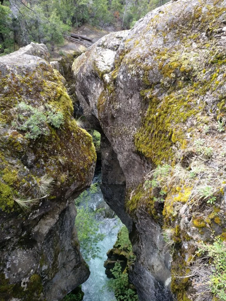
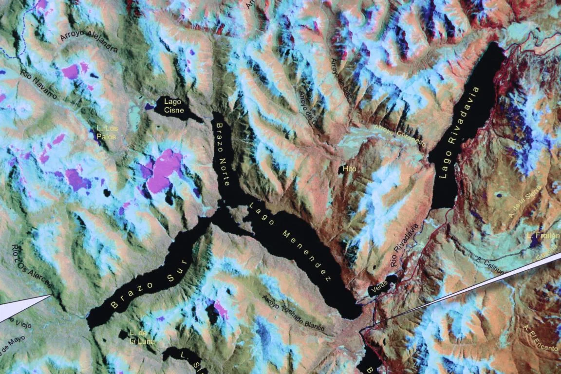
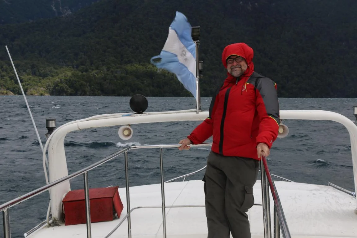
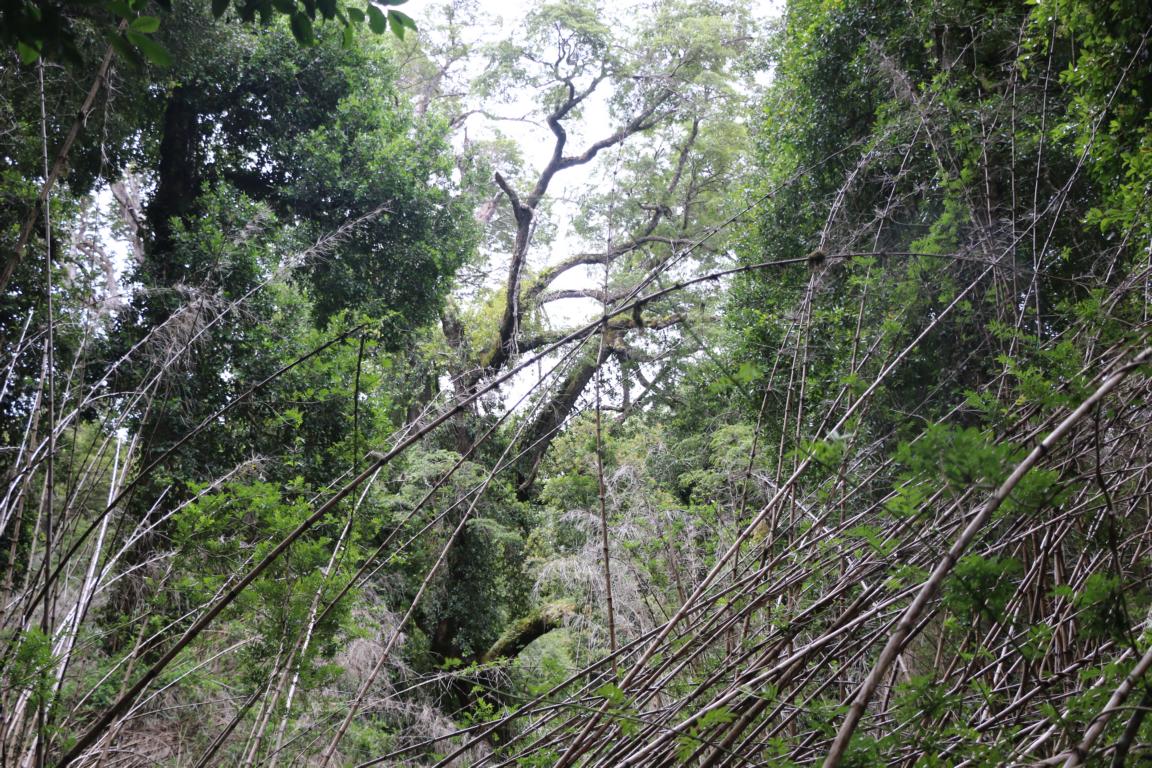
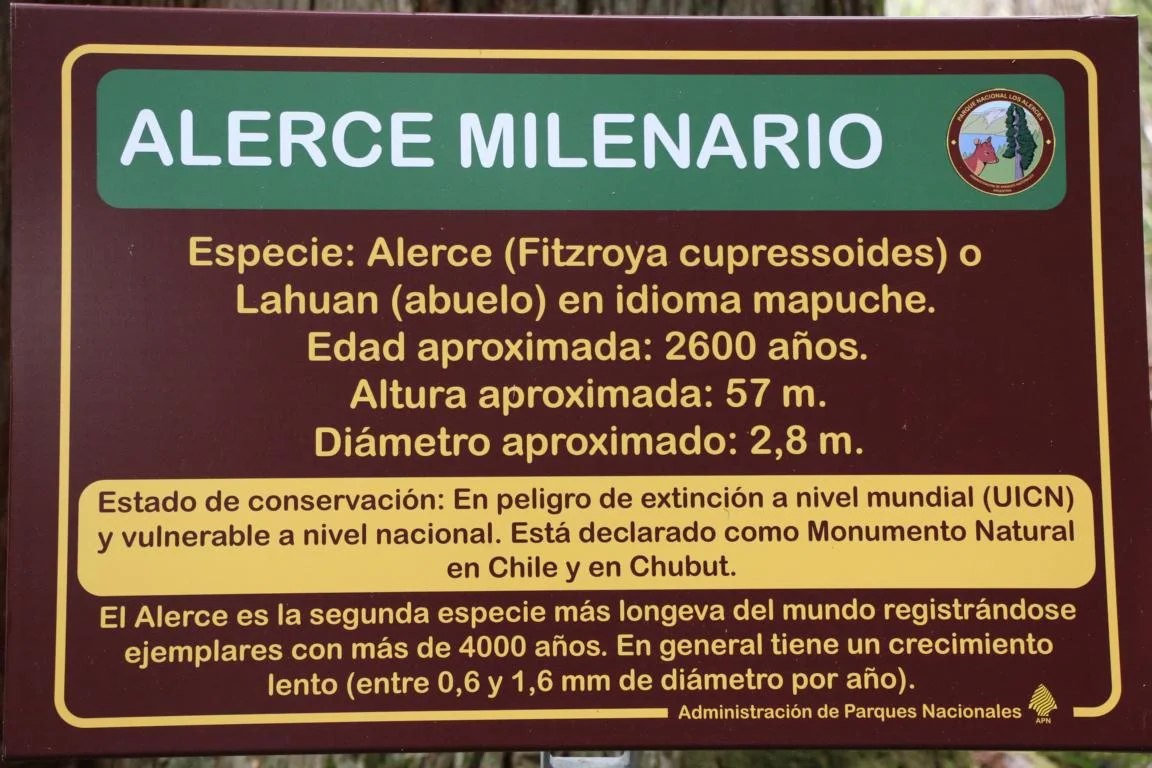
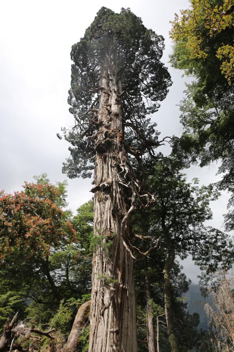
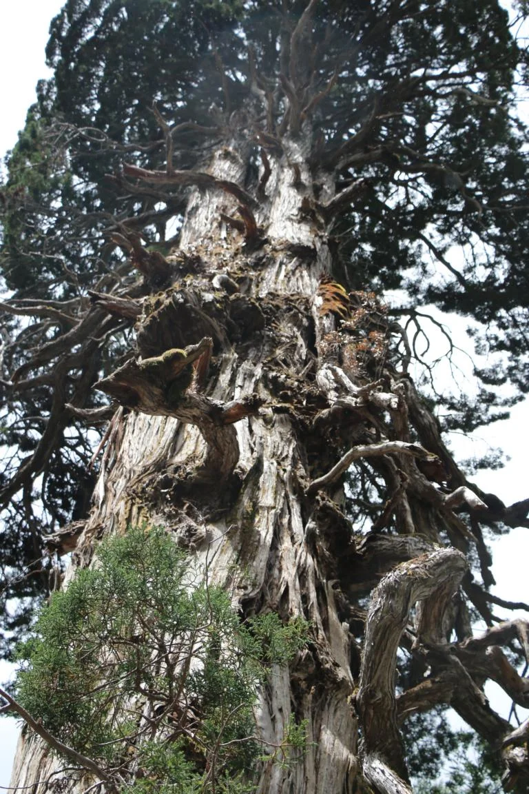
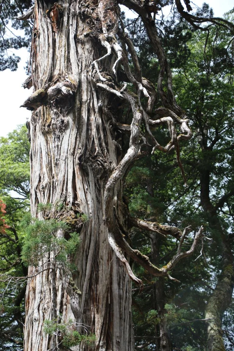
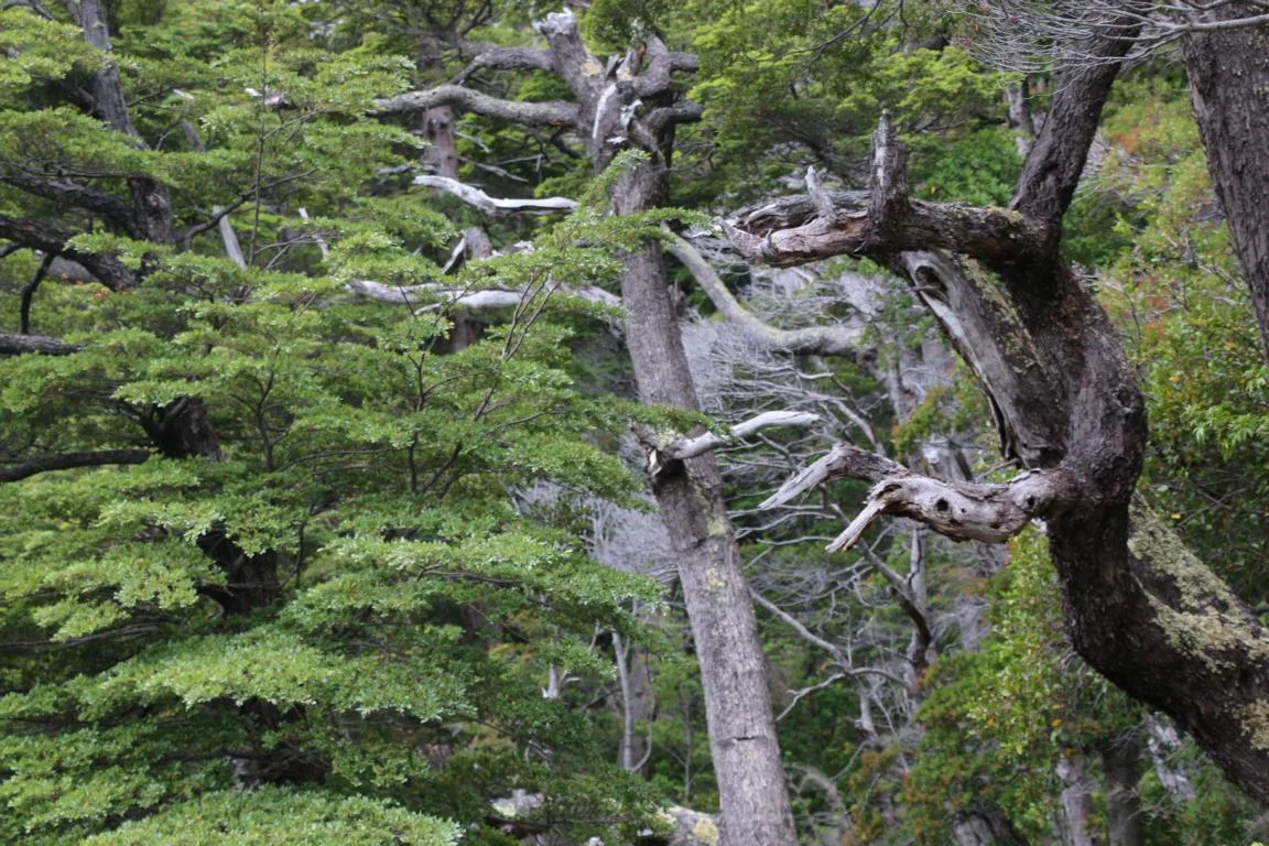
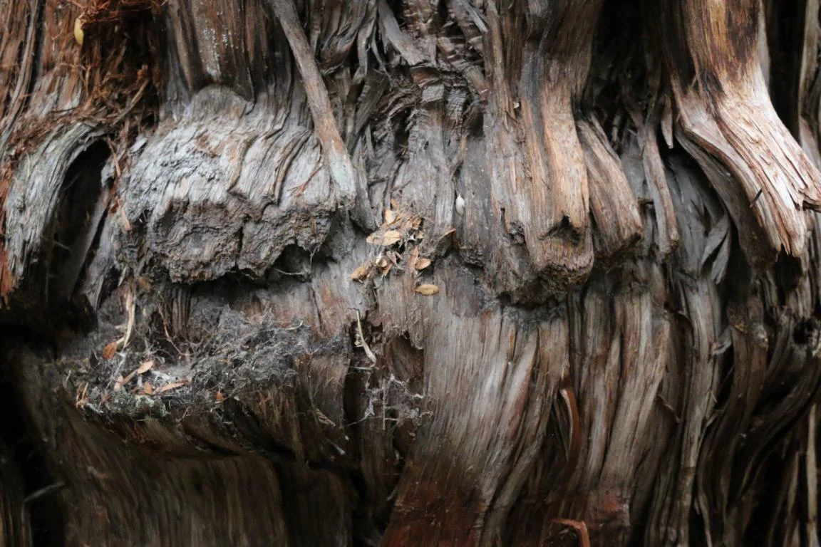
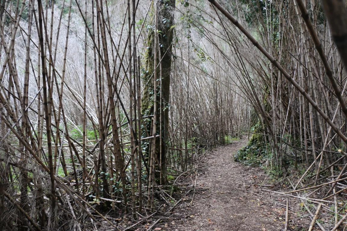
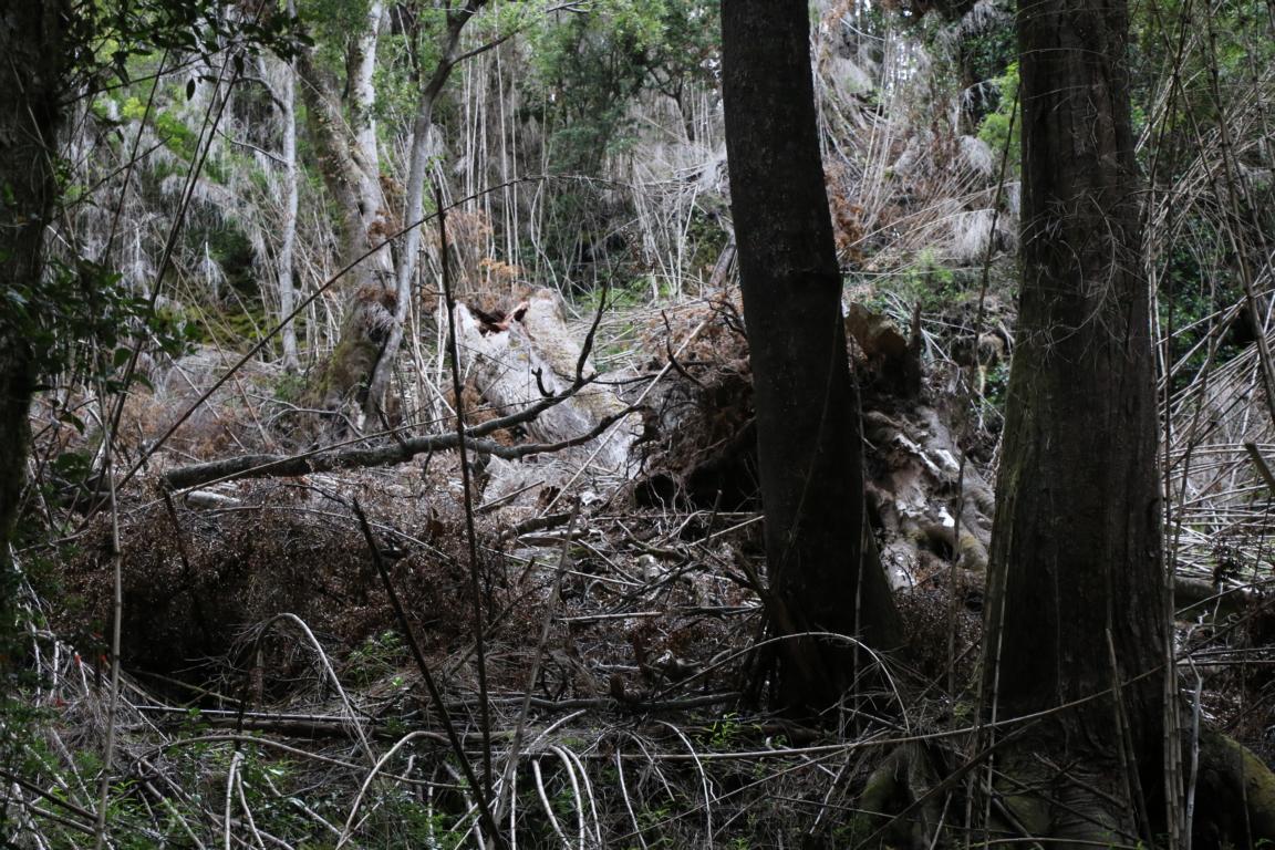
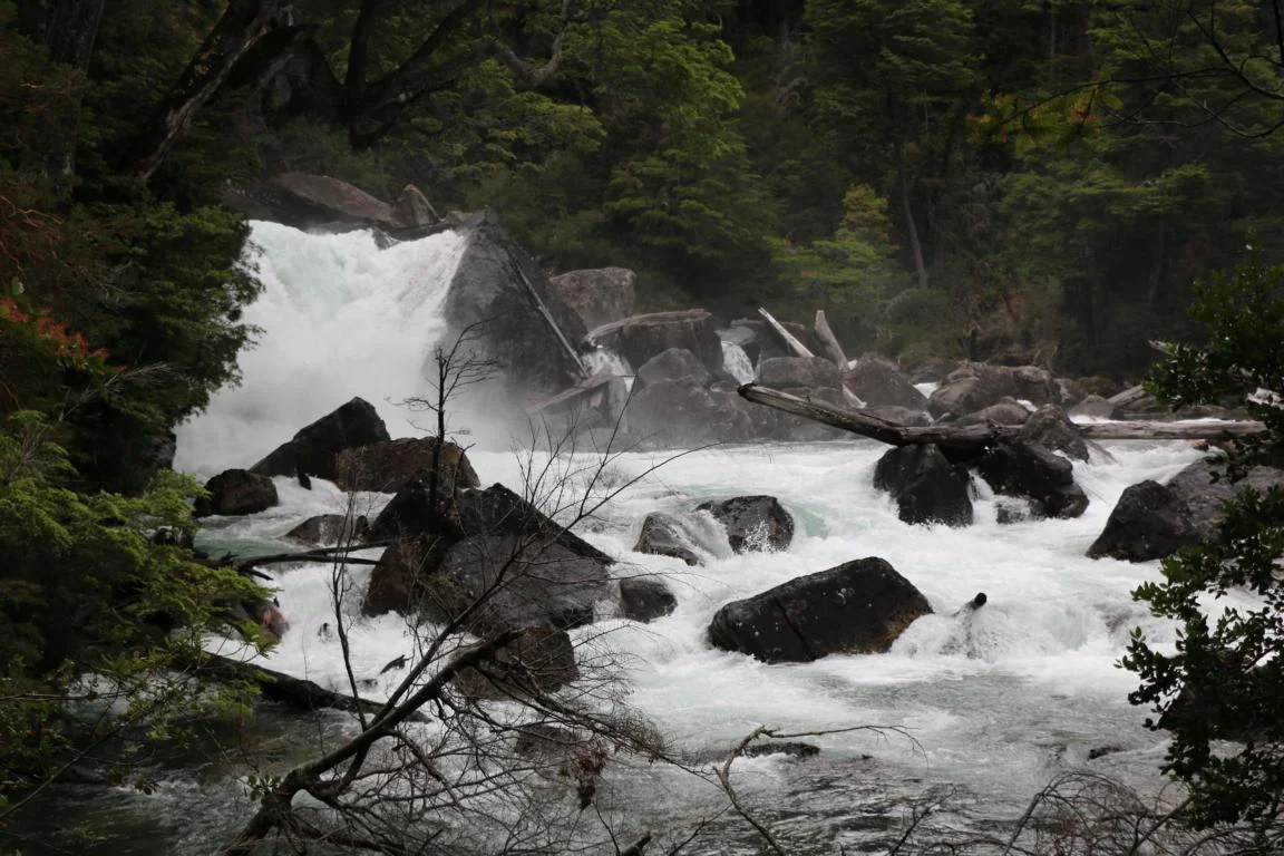
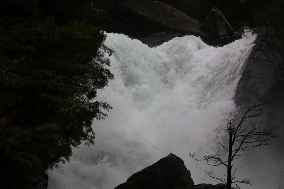
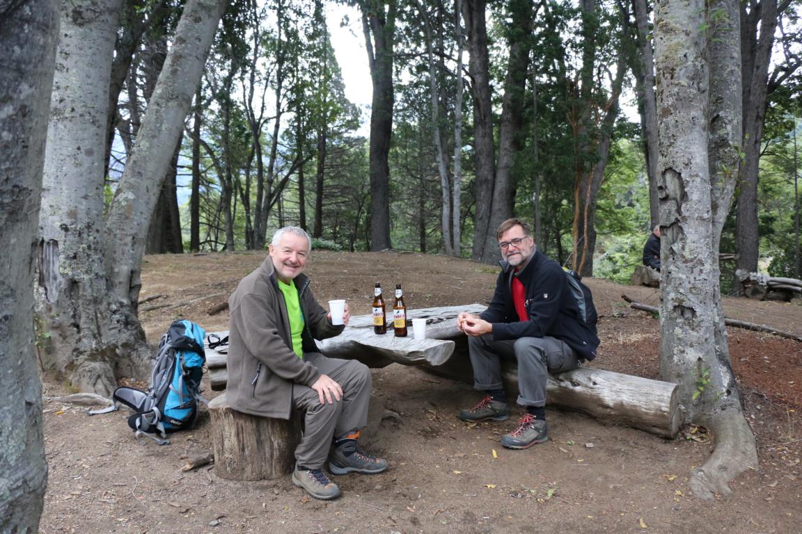
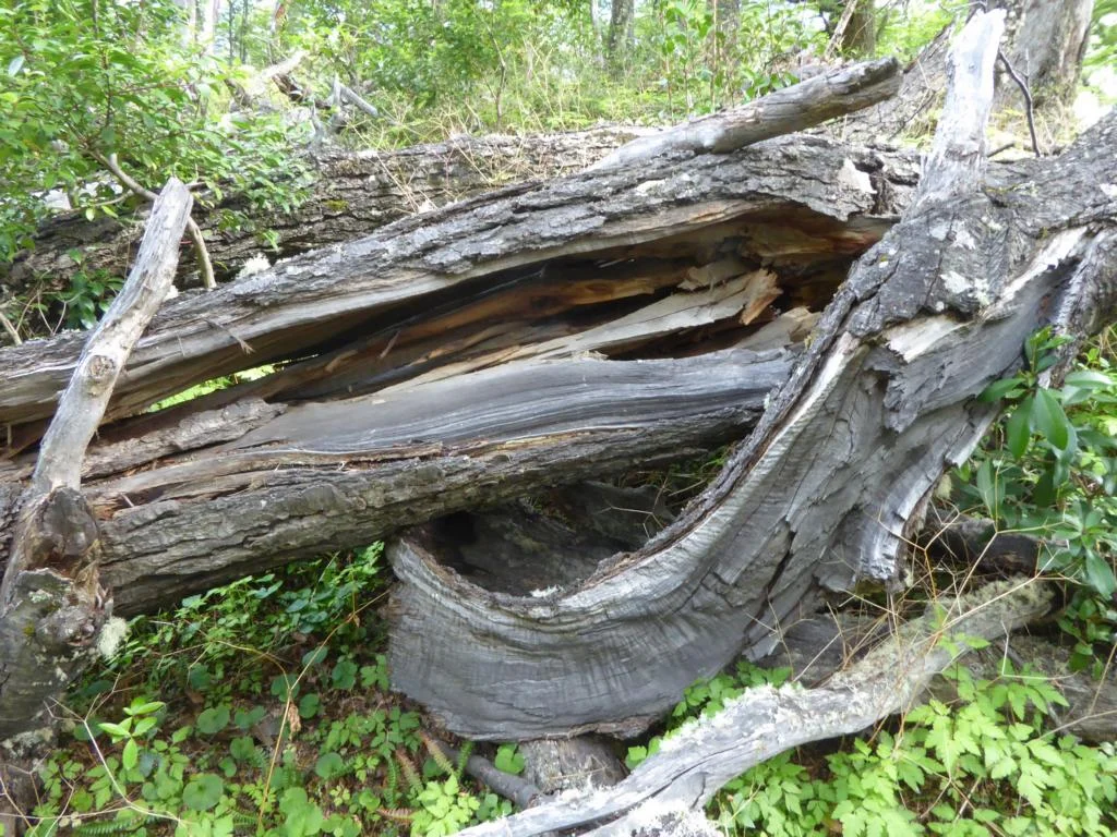
Parque Nacional los Alerces: Alerces are trees which belong to the oldest existing species of trees in the world. They are up to 45 m tall and the oldest tree in the park is 3,500 years old.
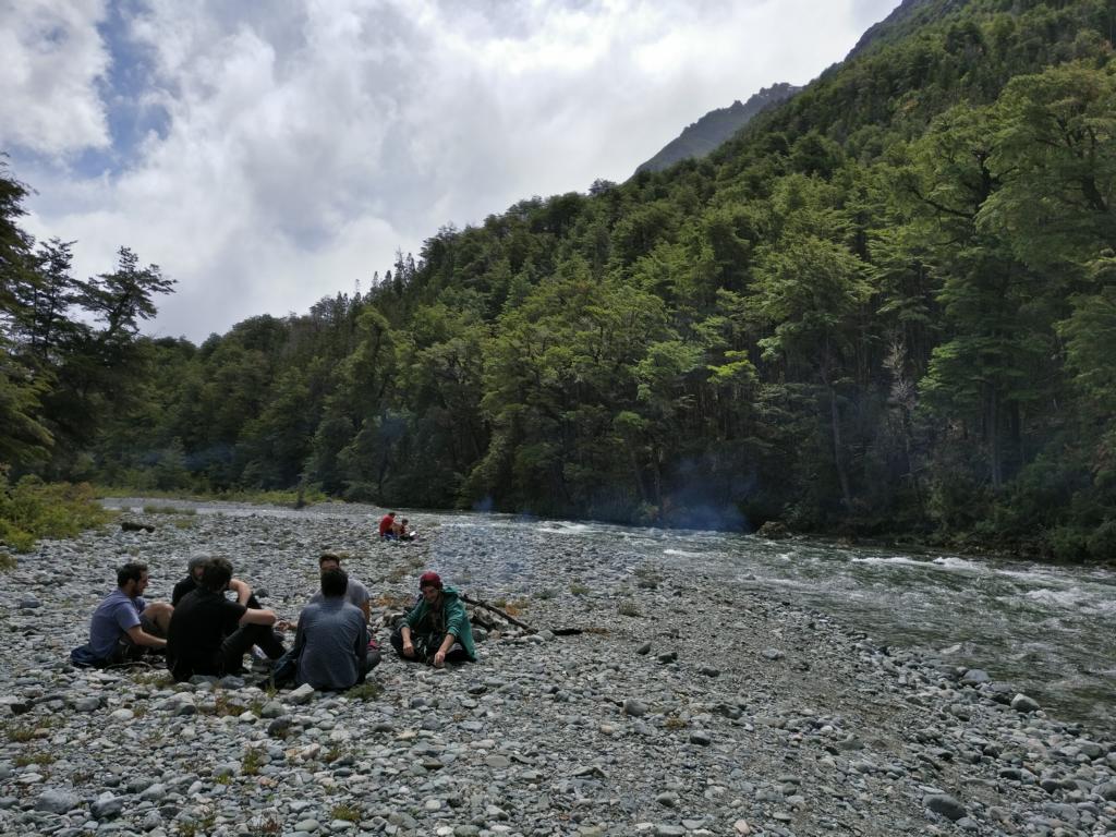
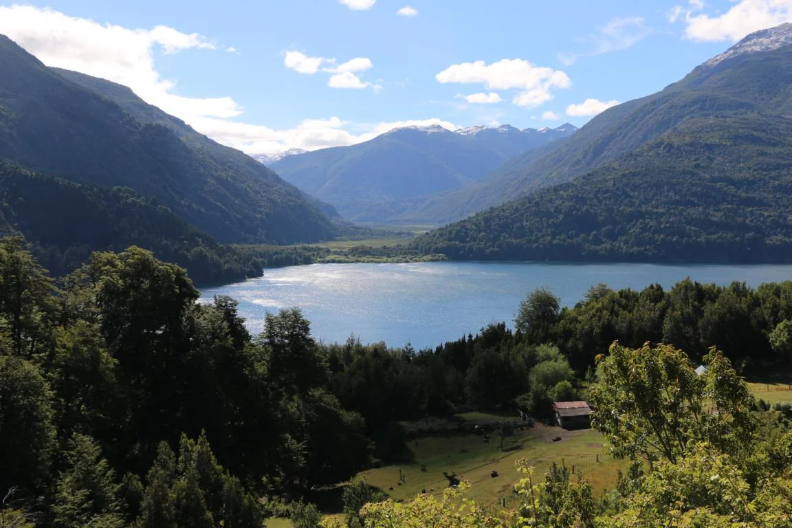
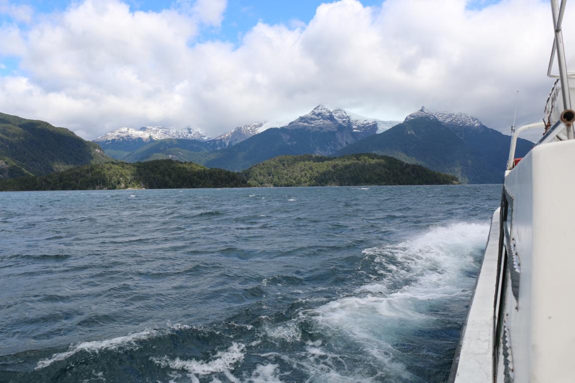
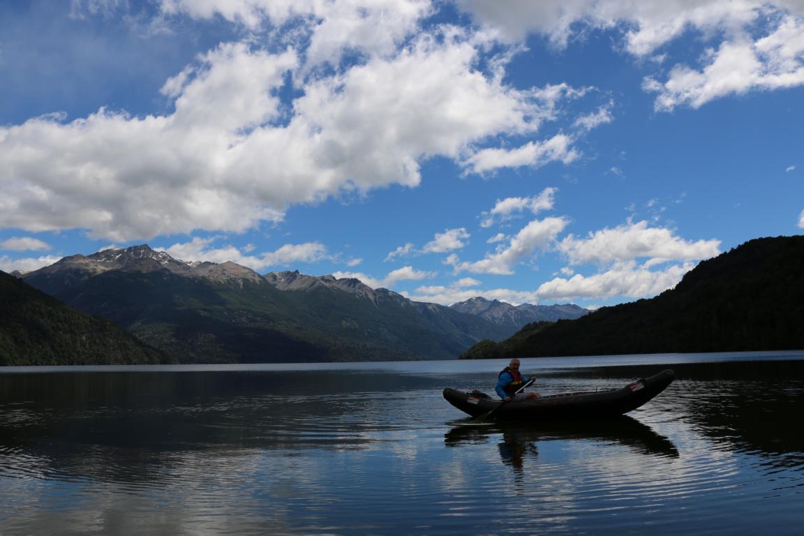
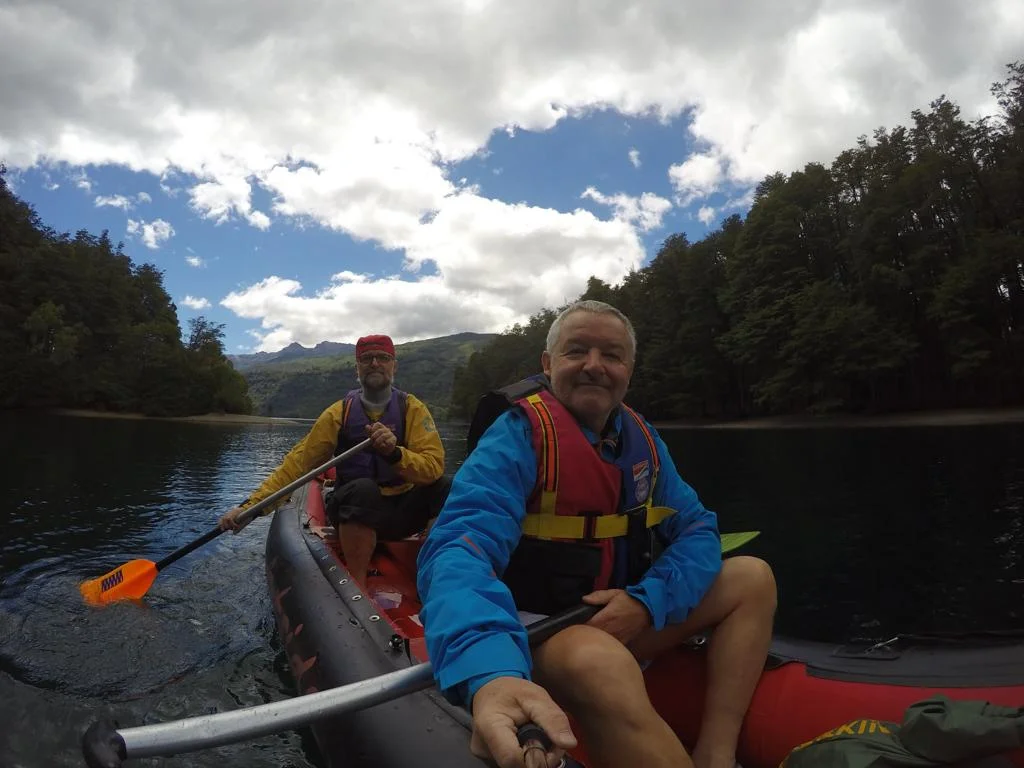
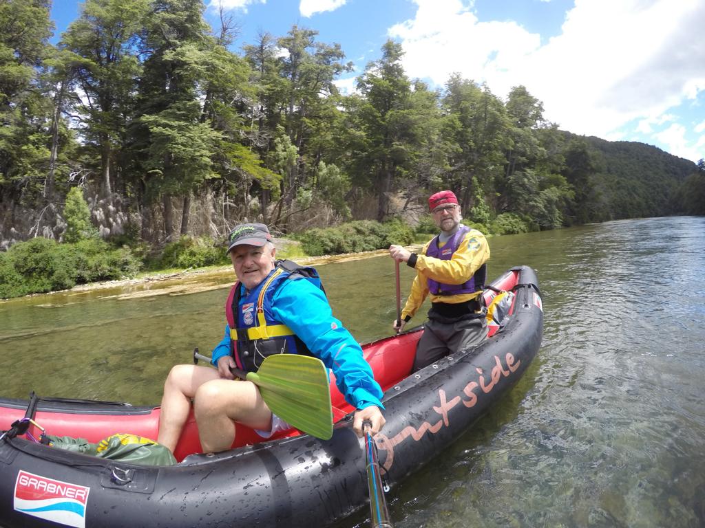
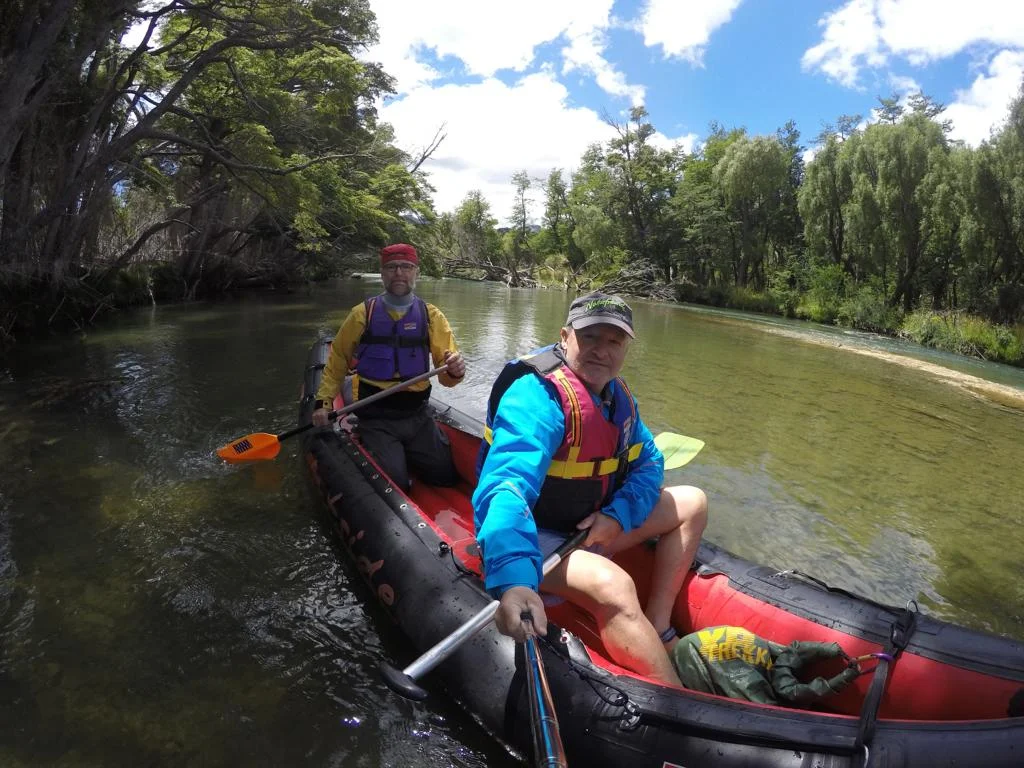
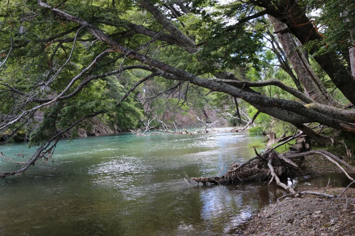
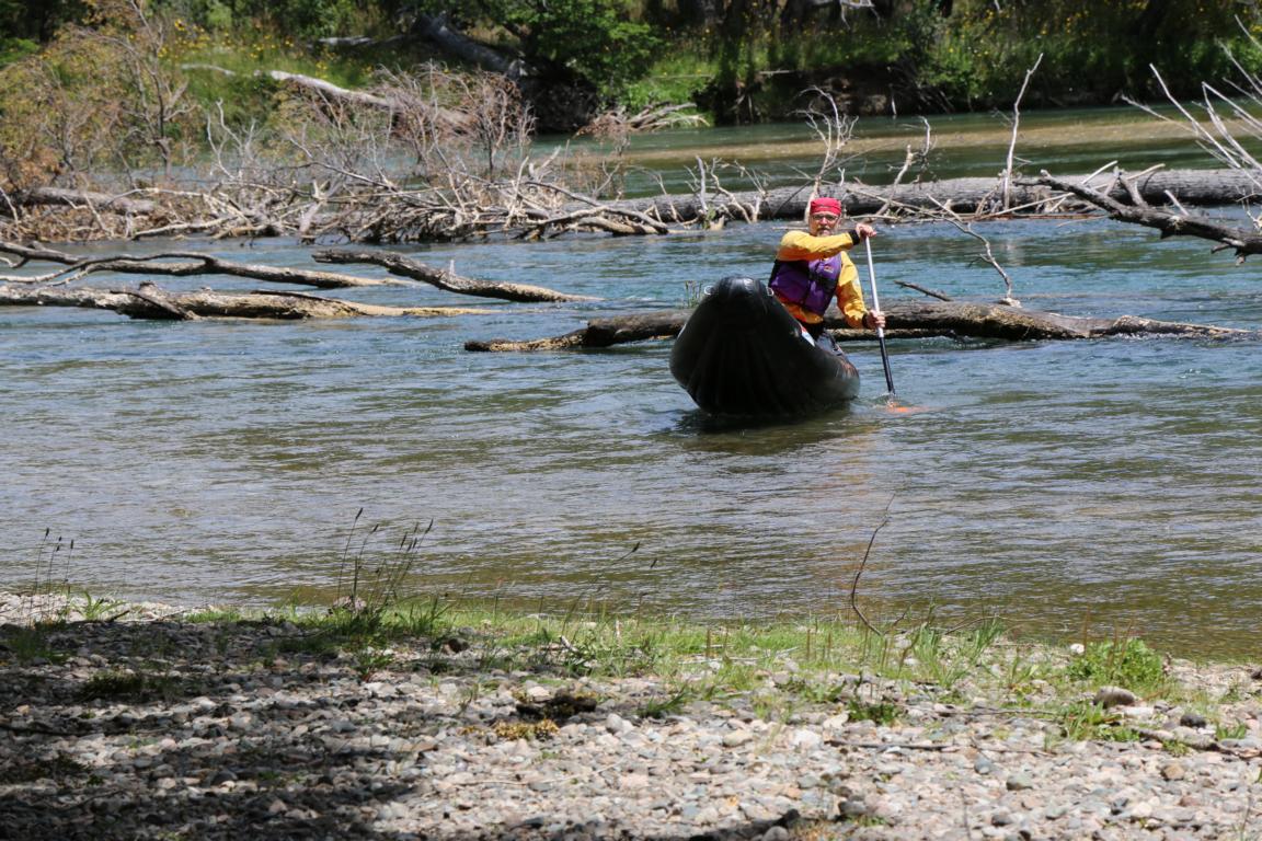
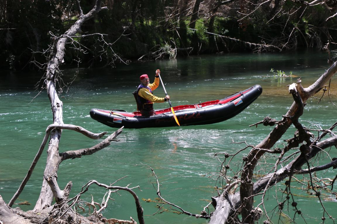
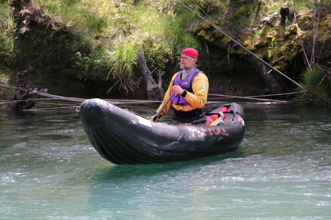
Kayaking in an inflatable kayak the river Rivadavia through untouched wilderness.
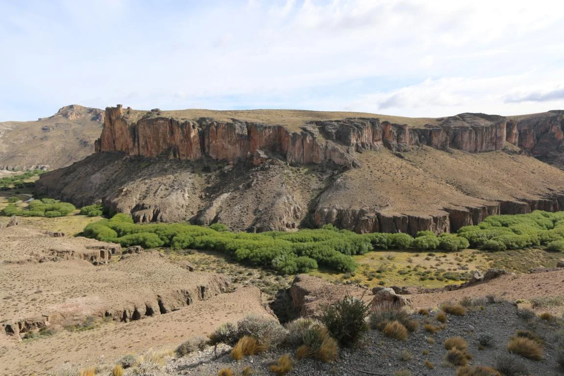
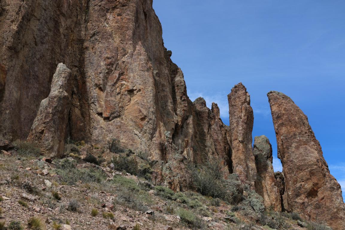
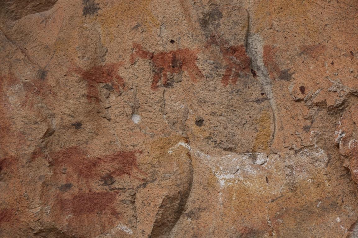
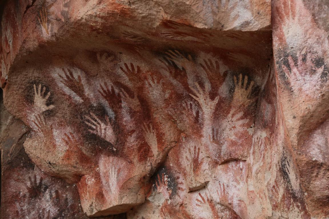
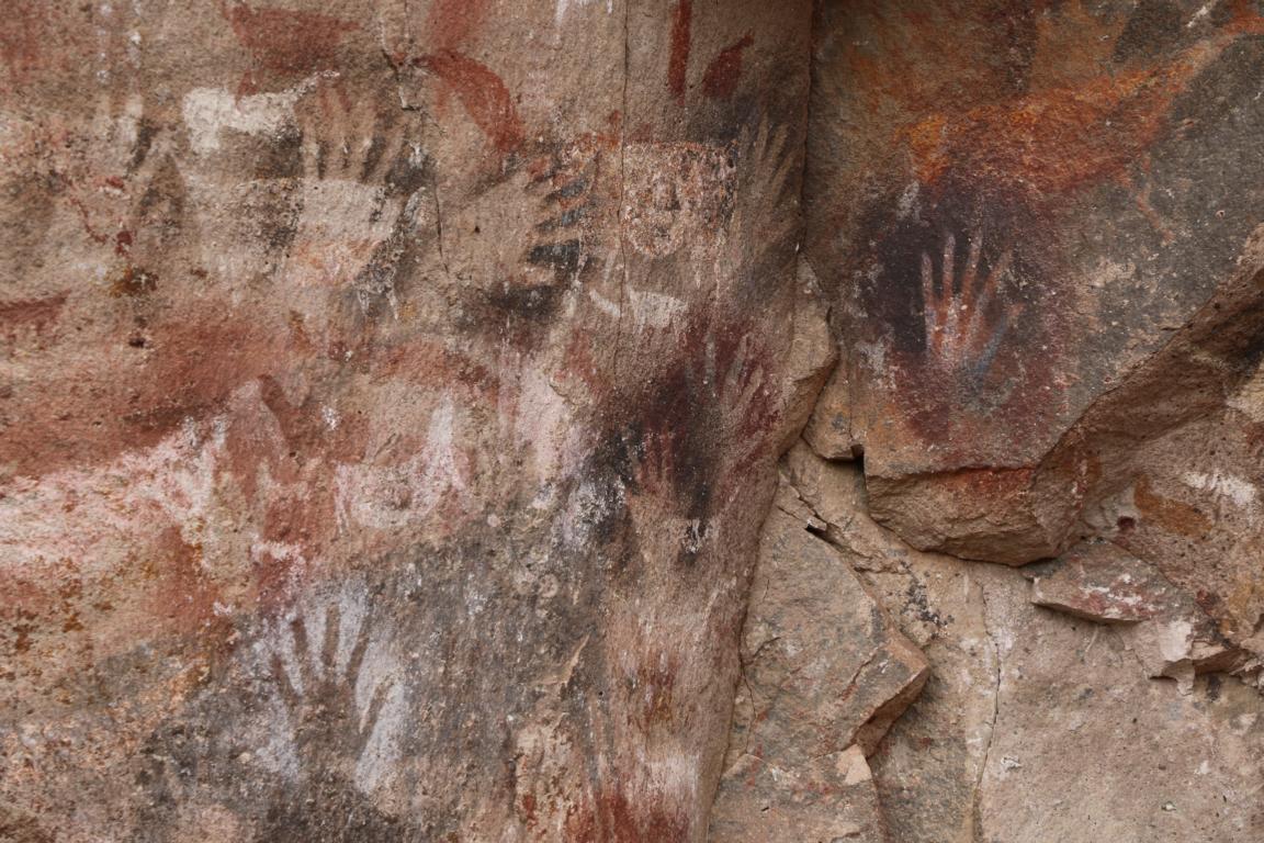
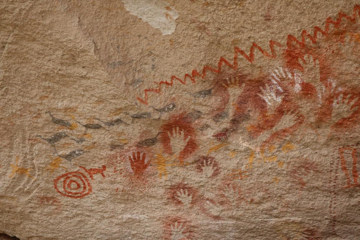
Cueva de las Manos del Rio Pinturas (Cave of the hands): The rock art paintings date back 3,500 to 10,000 years and were produced by nomads / hunters during their seasonal journey between the coast and the Andes.
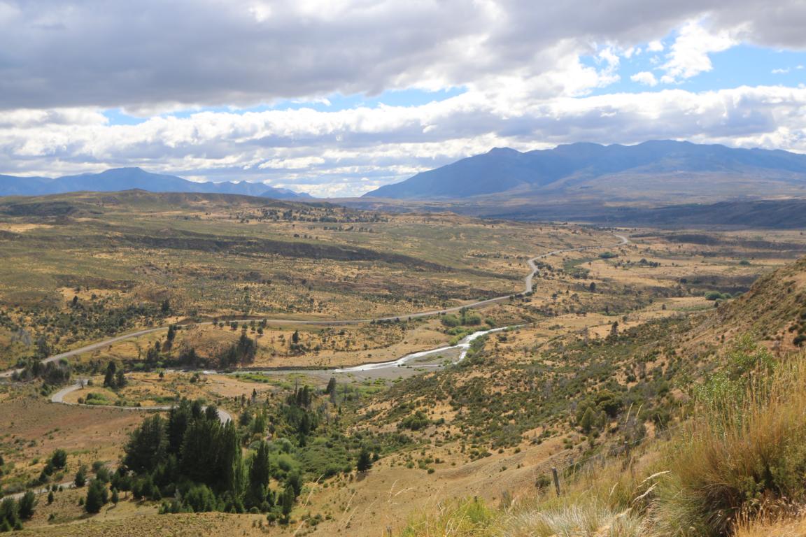
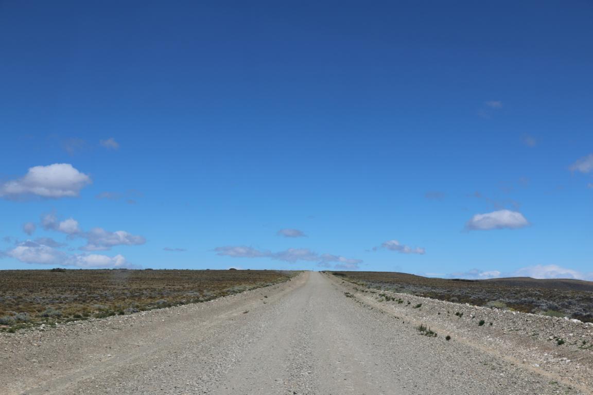
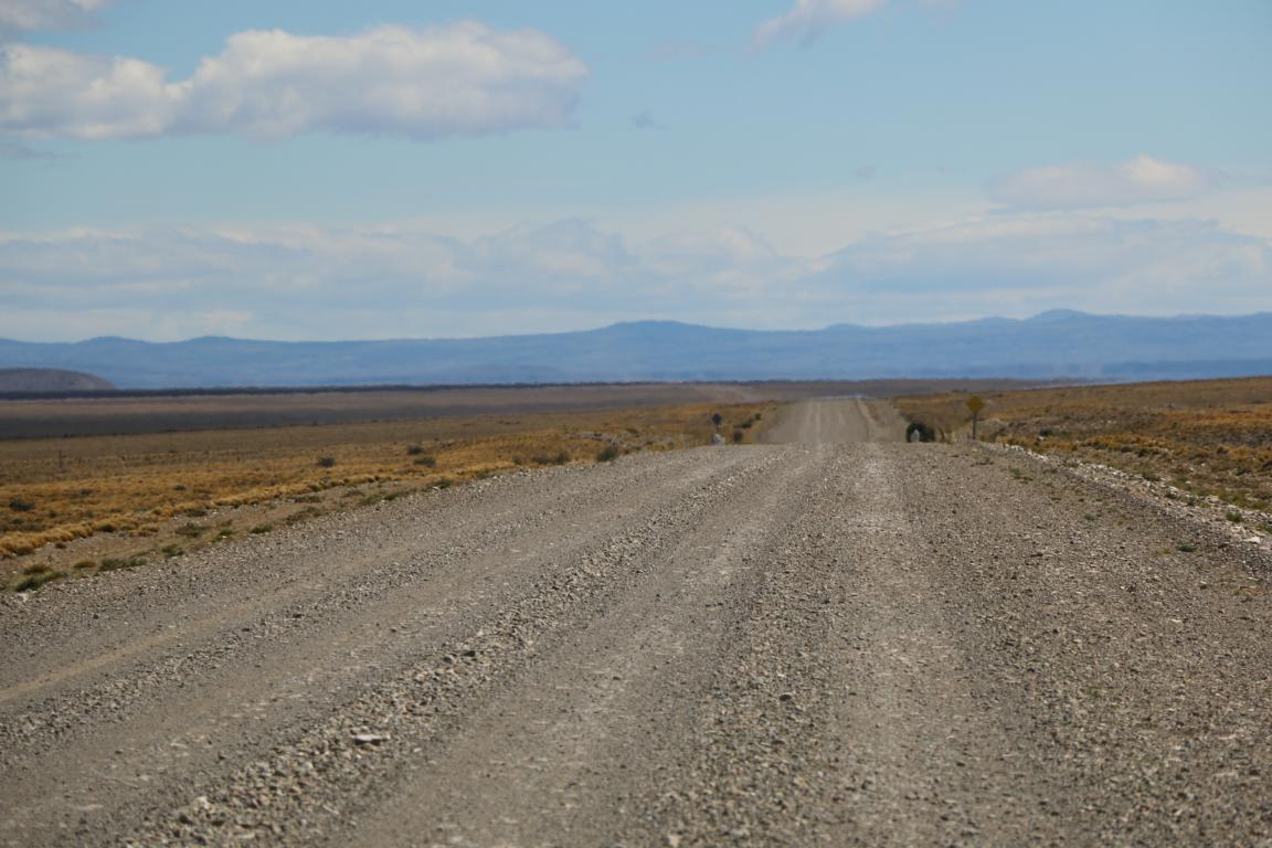
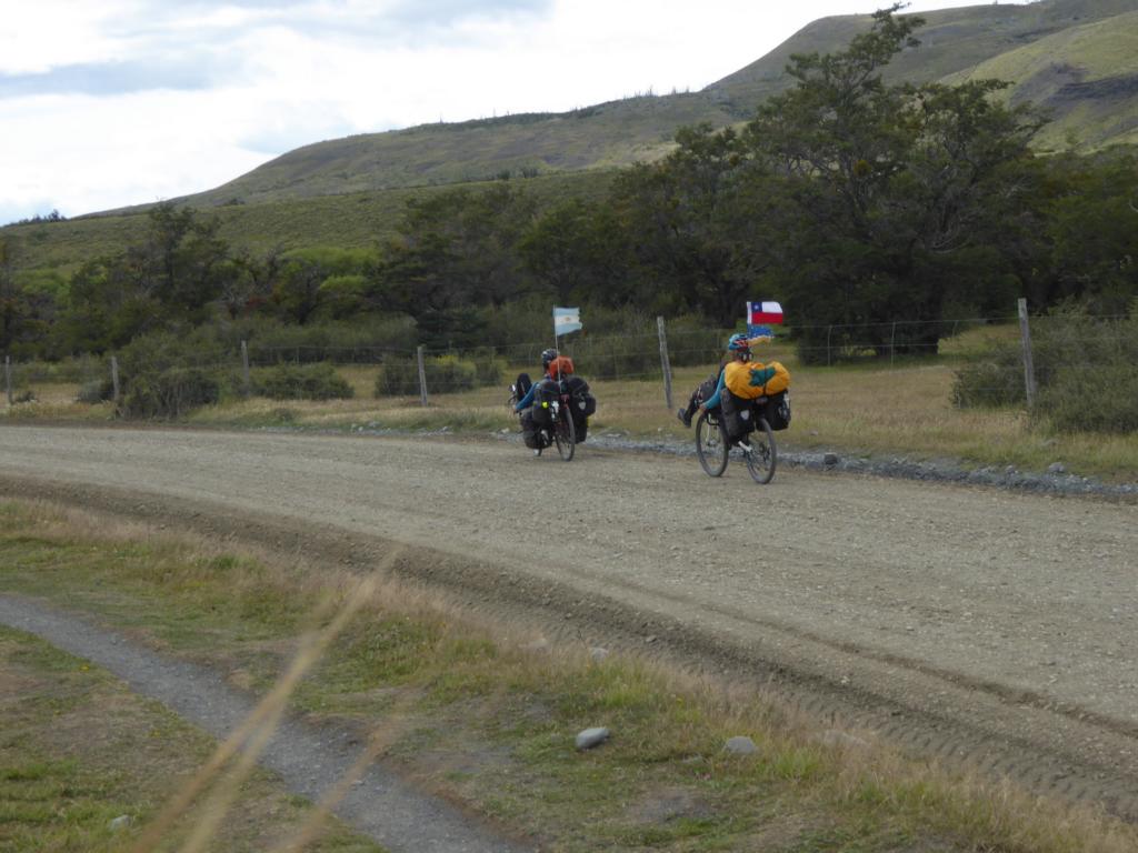
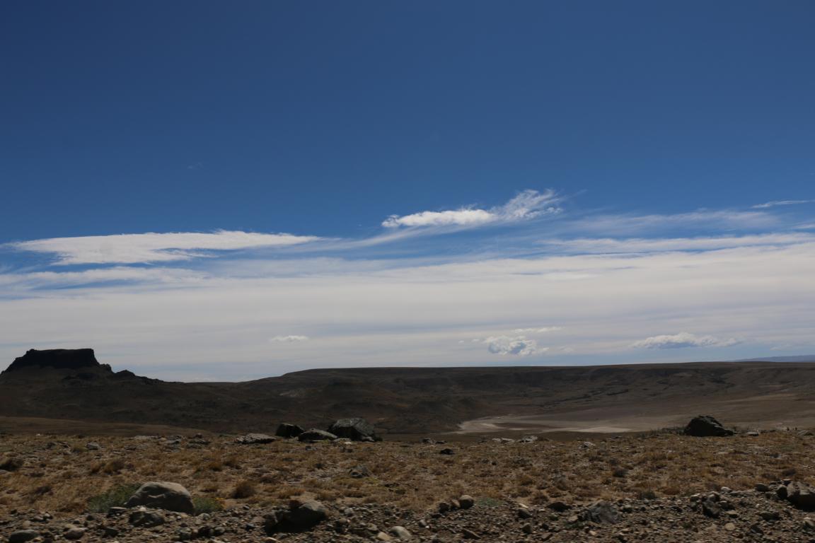
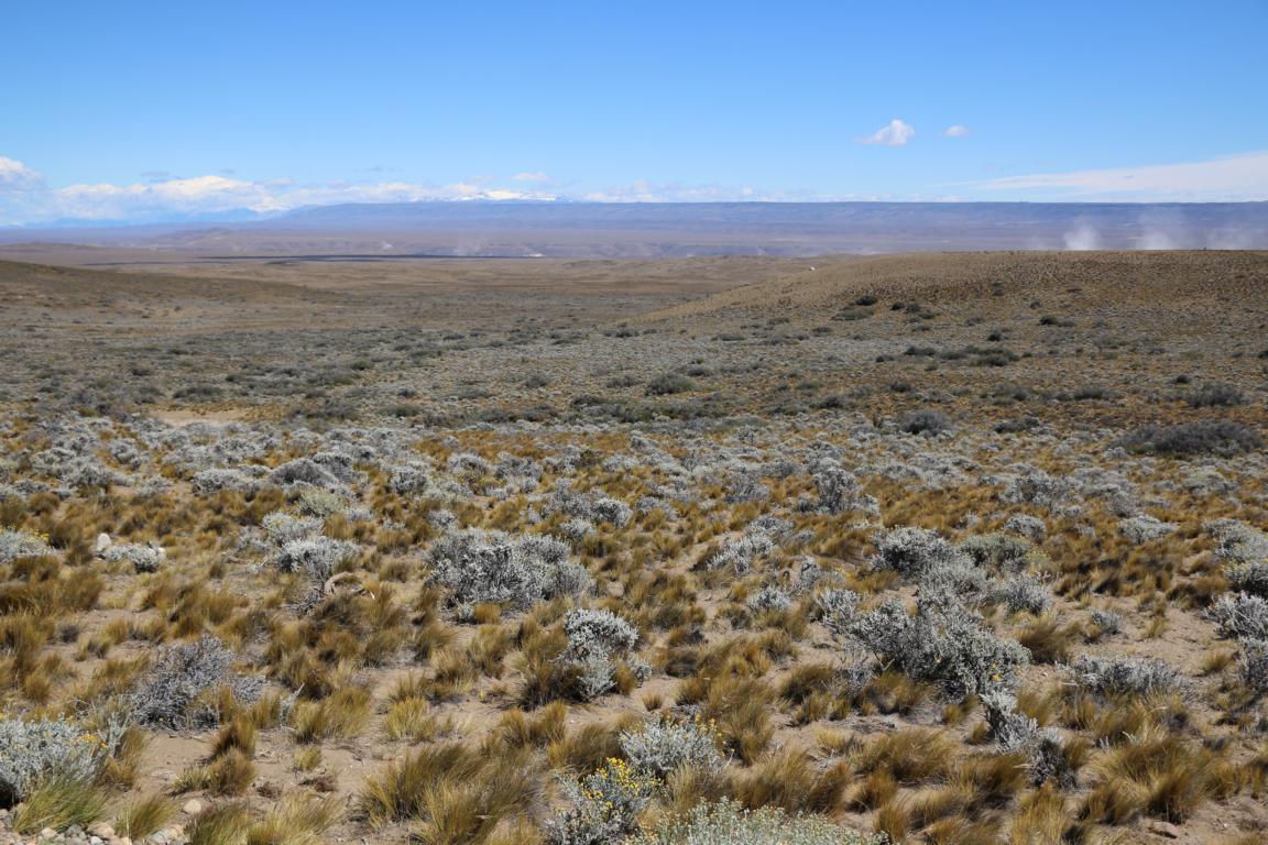
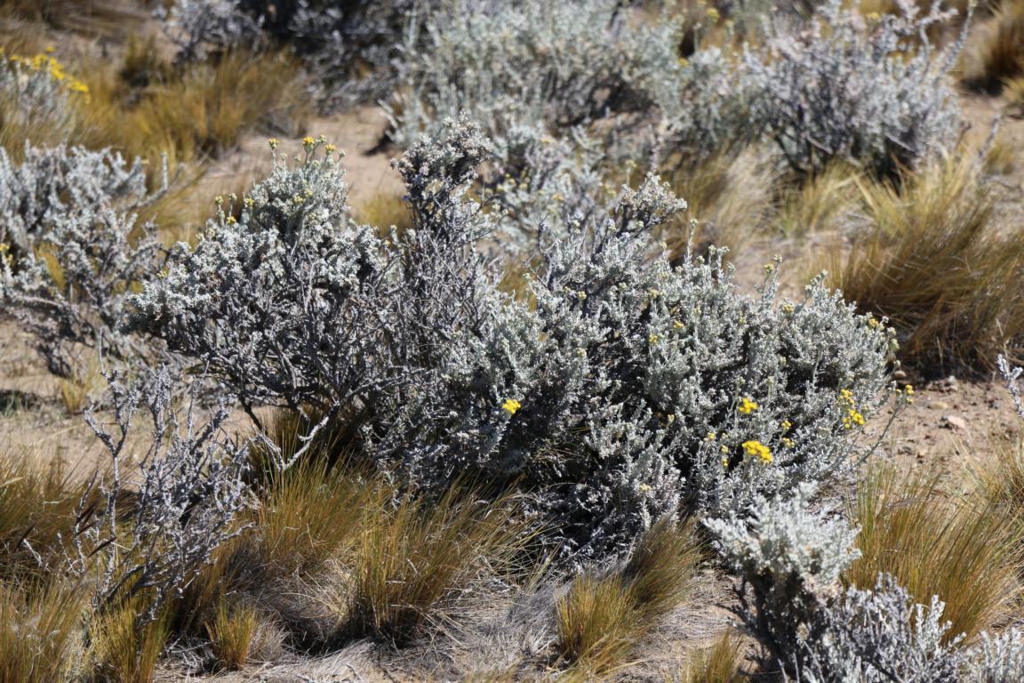
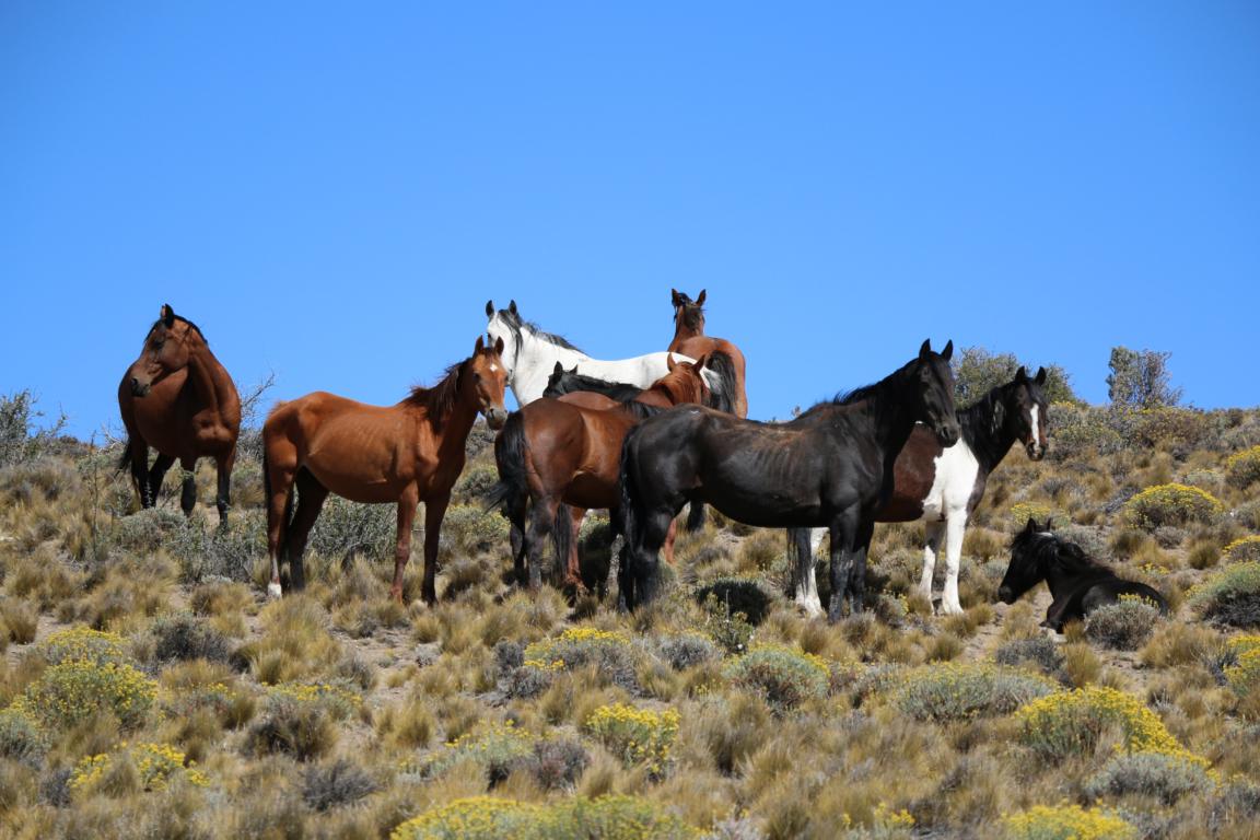
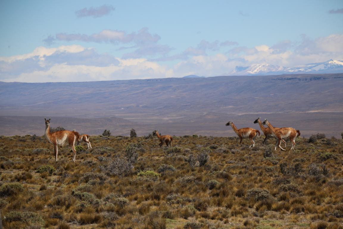
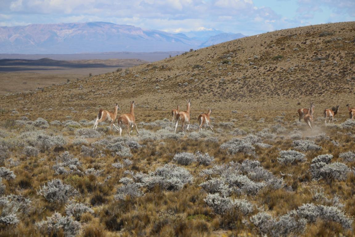
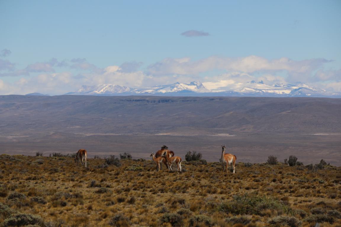
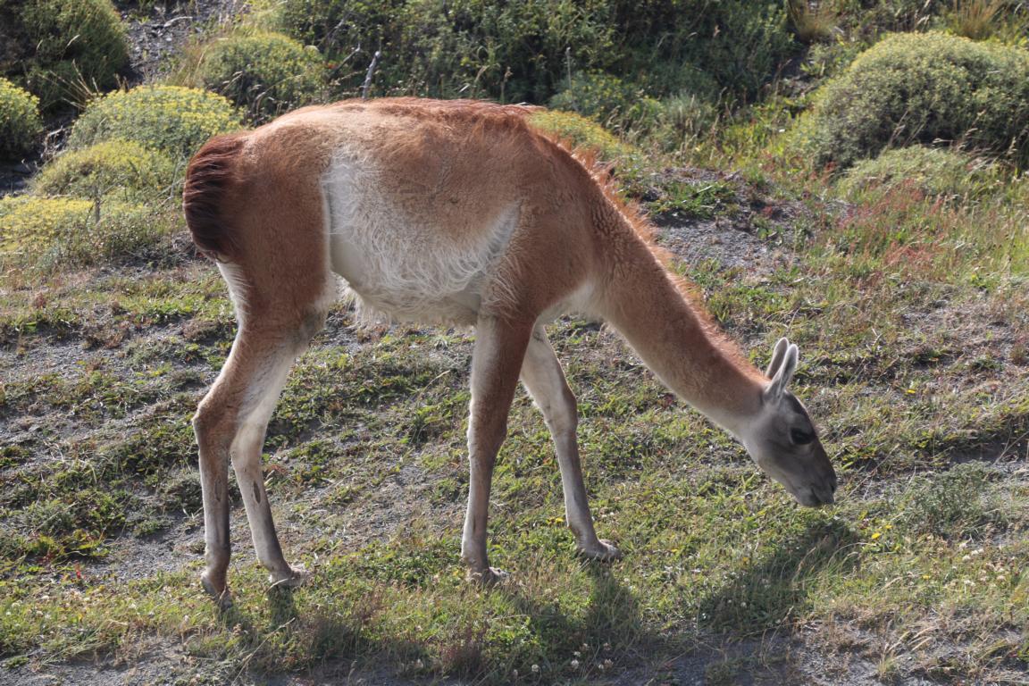
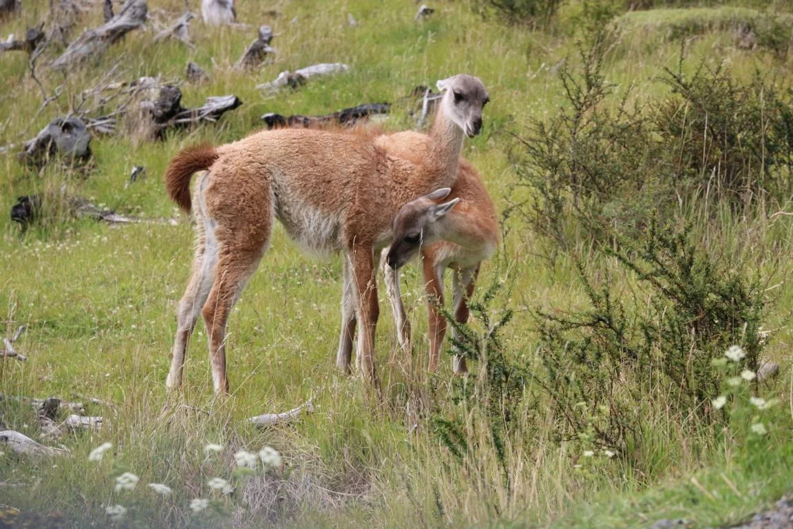
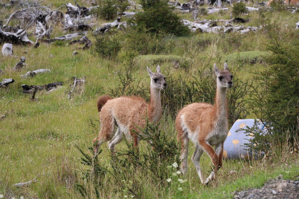
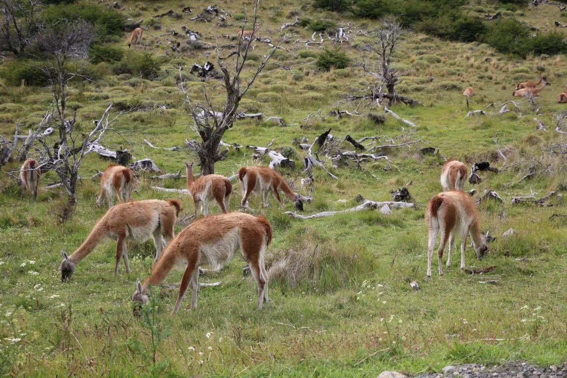
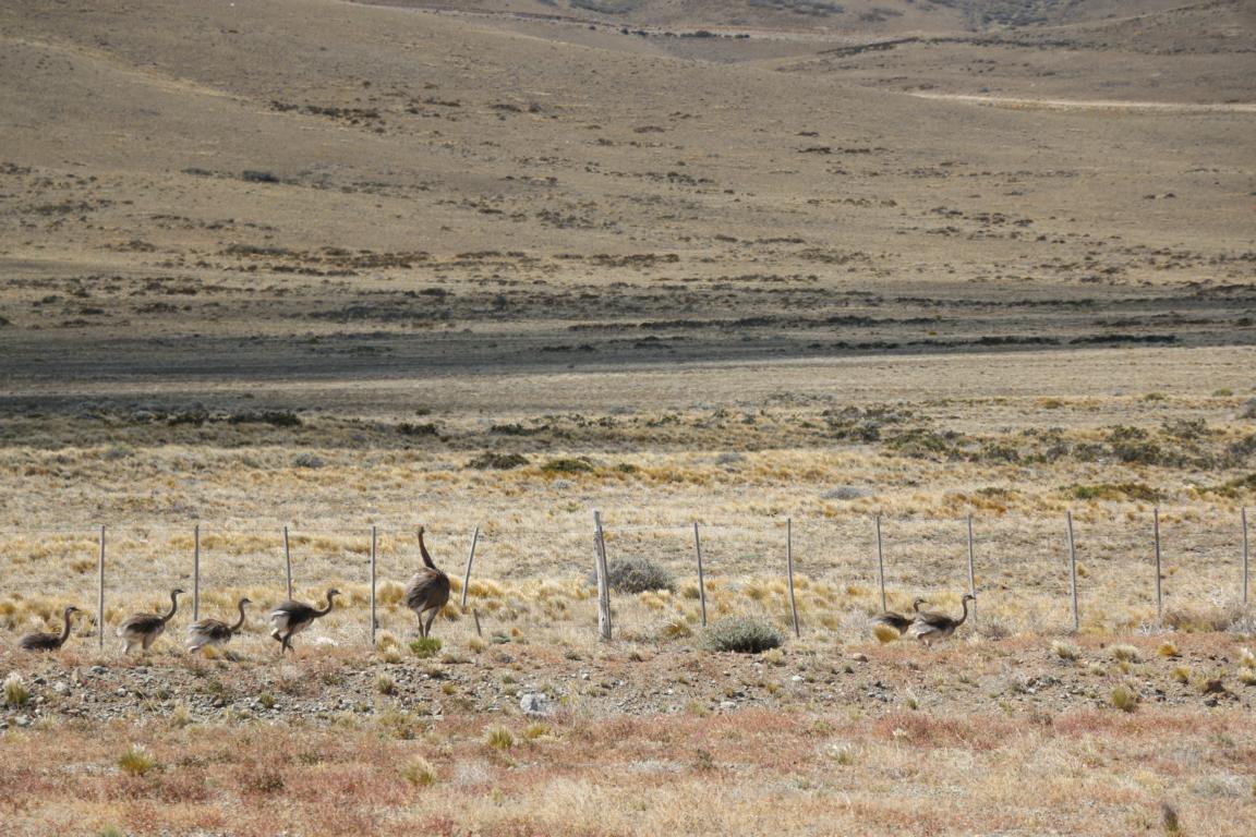
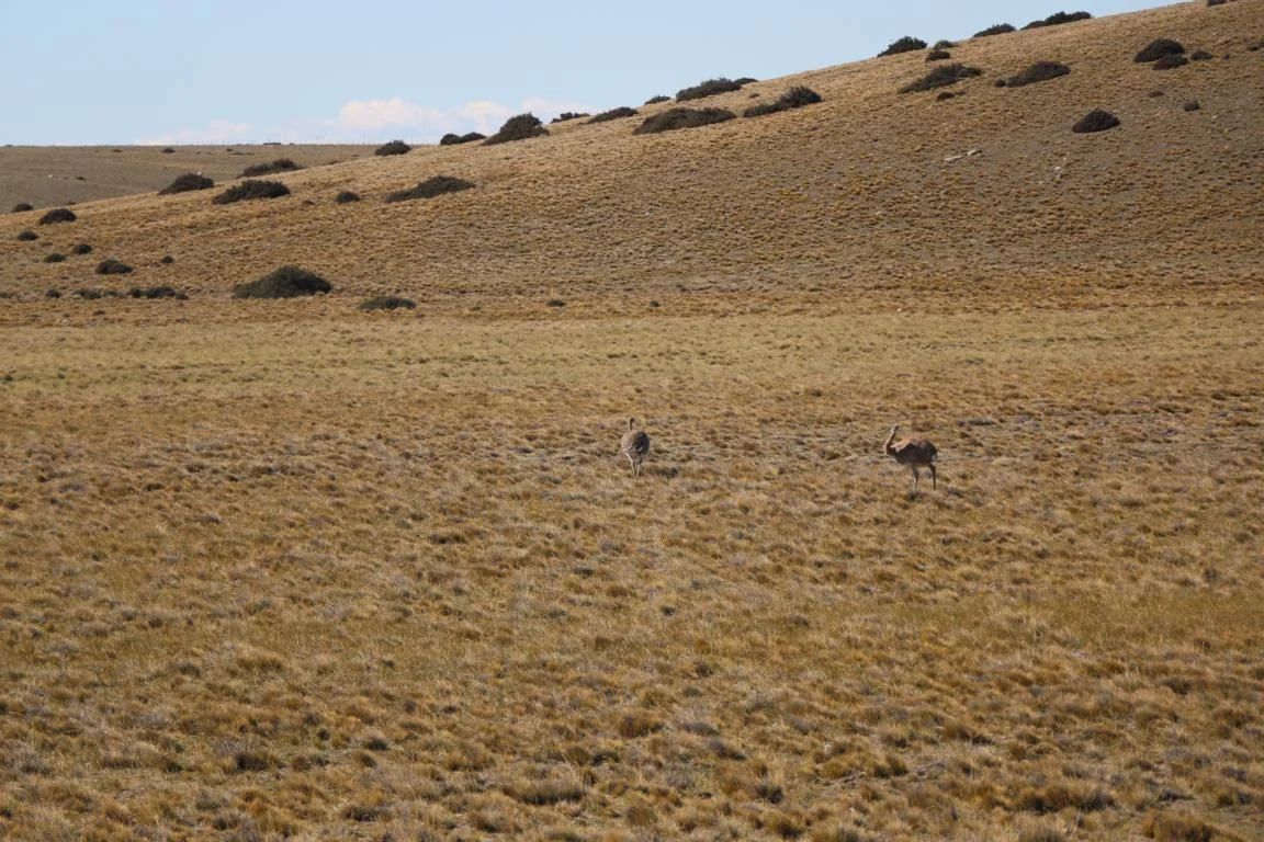
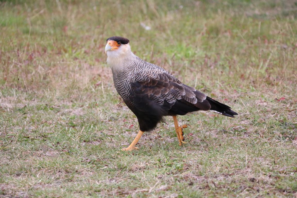
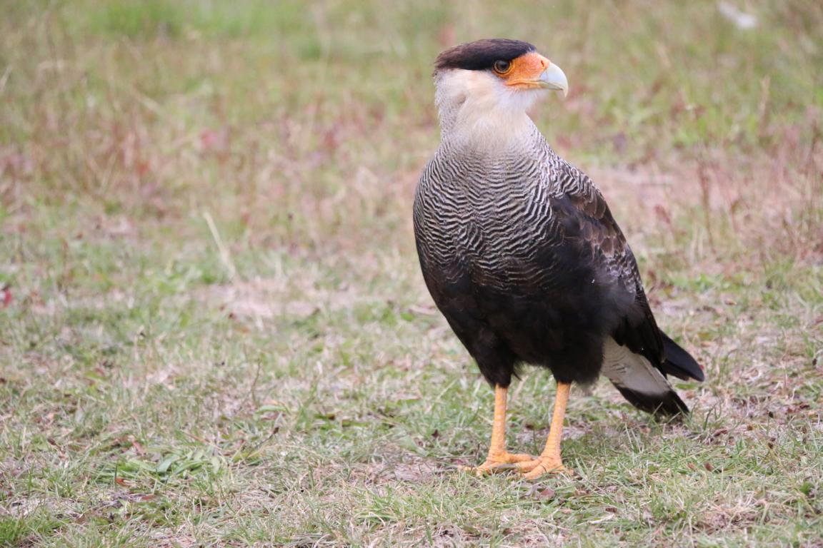
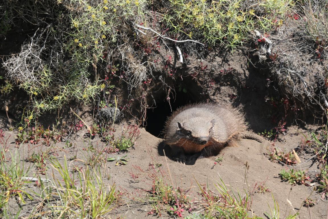
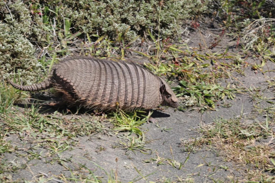
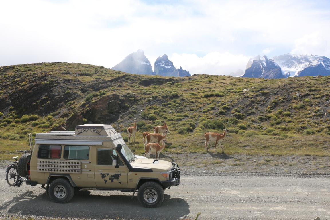
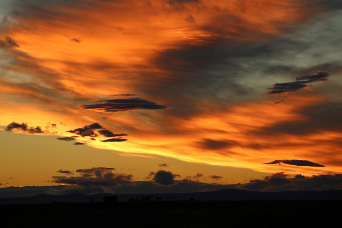
Images of the southern part of Ruta 40 and fauna seen along the road (horses, guanacos, niandus, caranchos, armadillo).
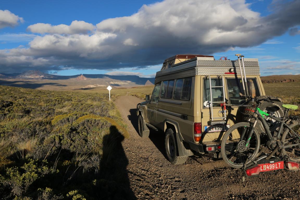
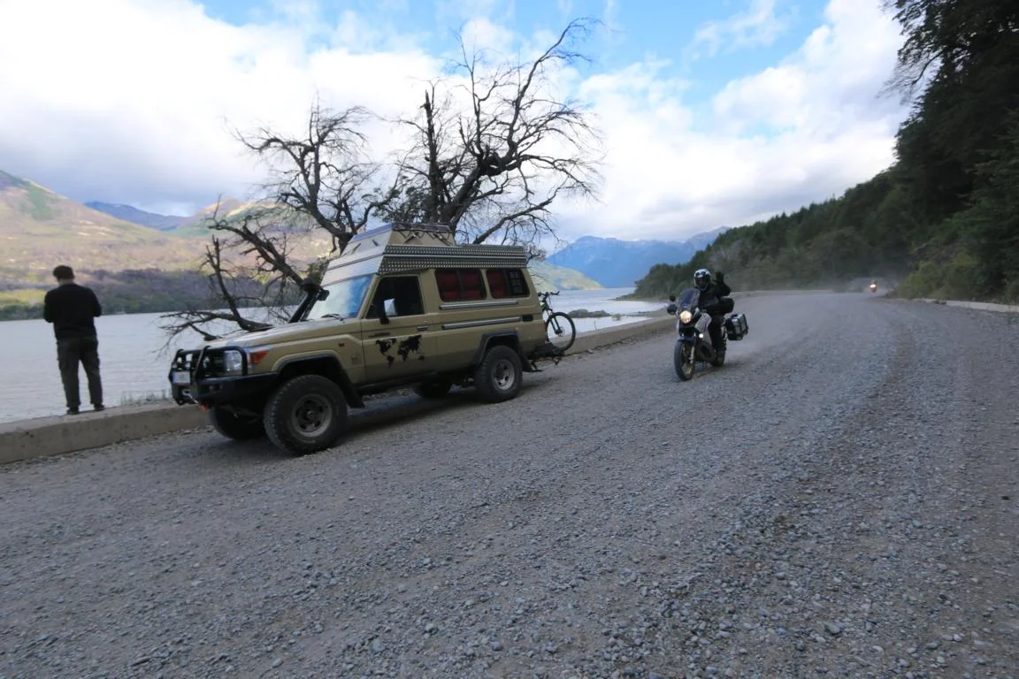
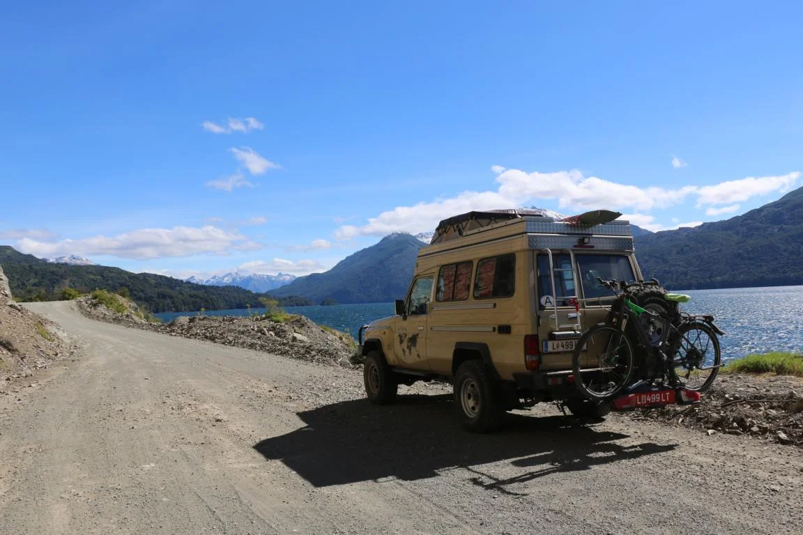
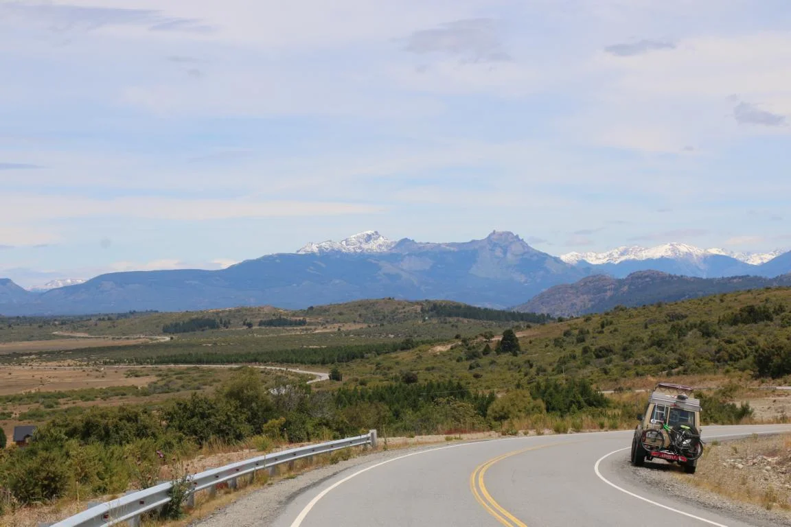
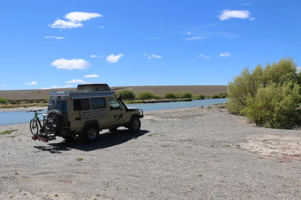
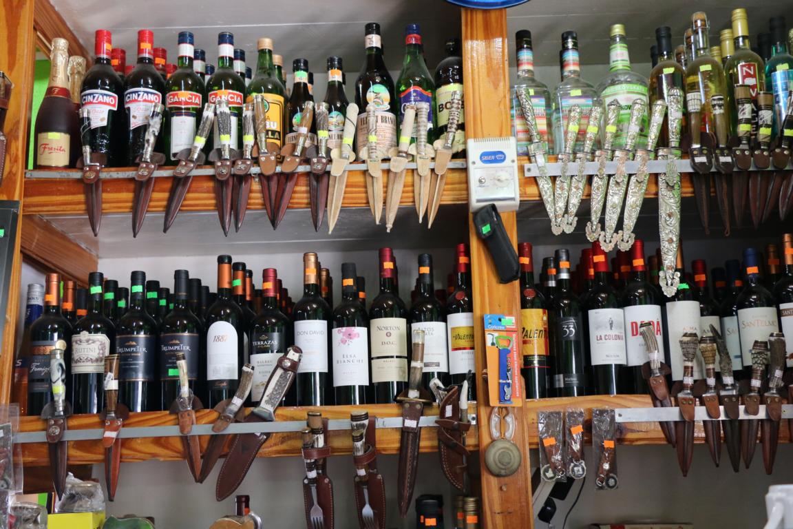
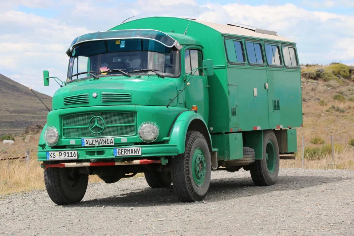
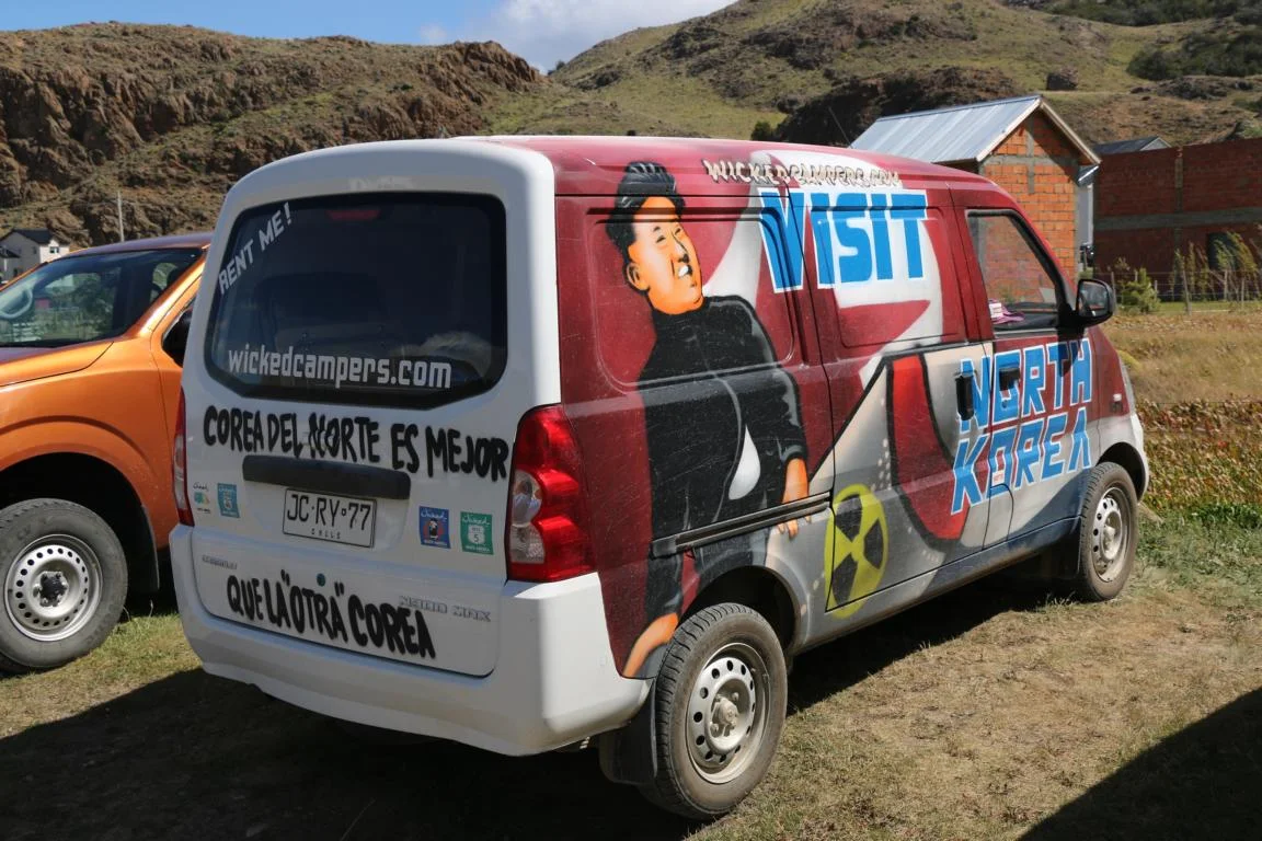
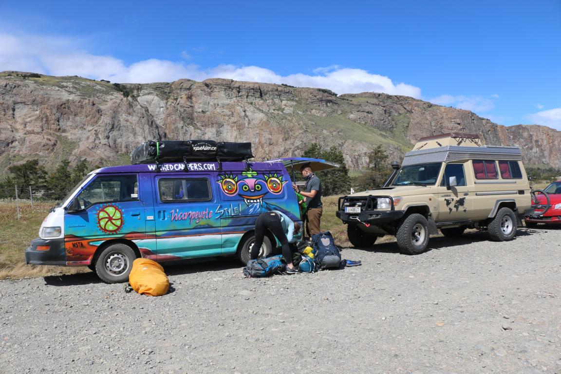
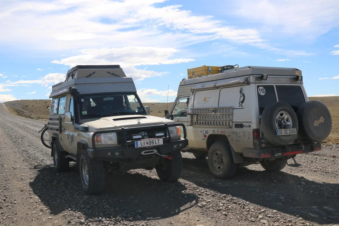
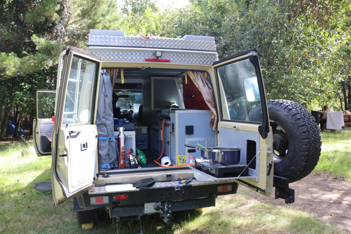
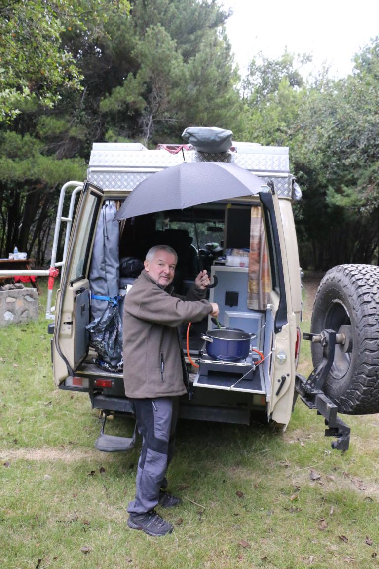
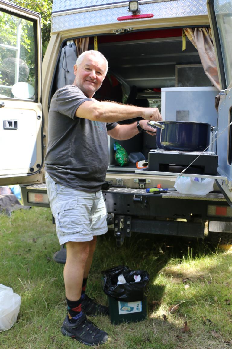
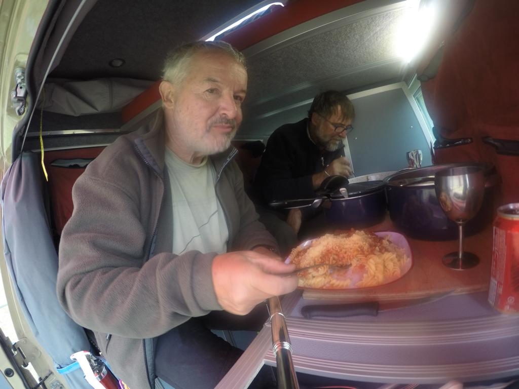
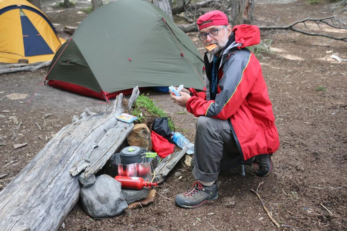
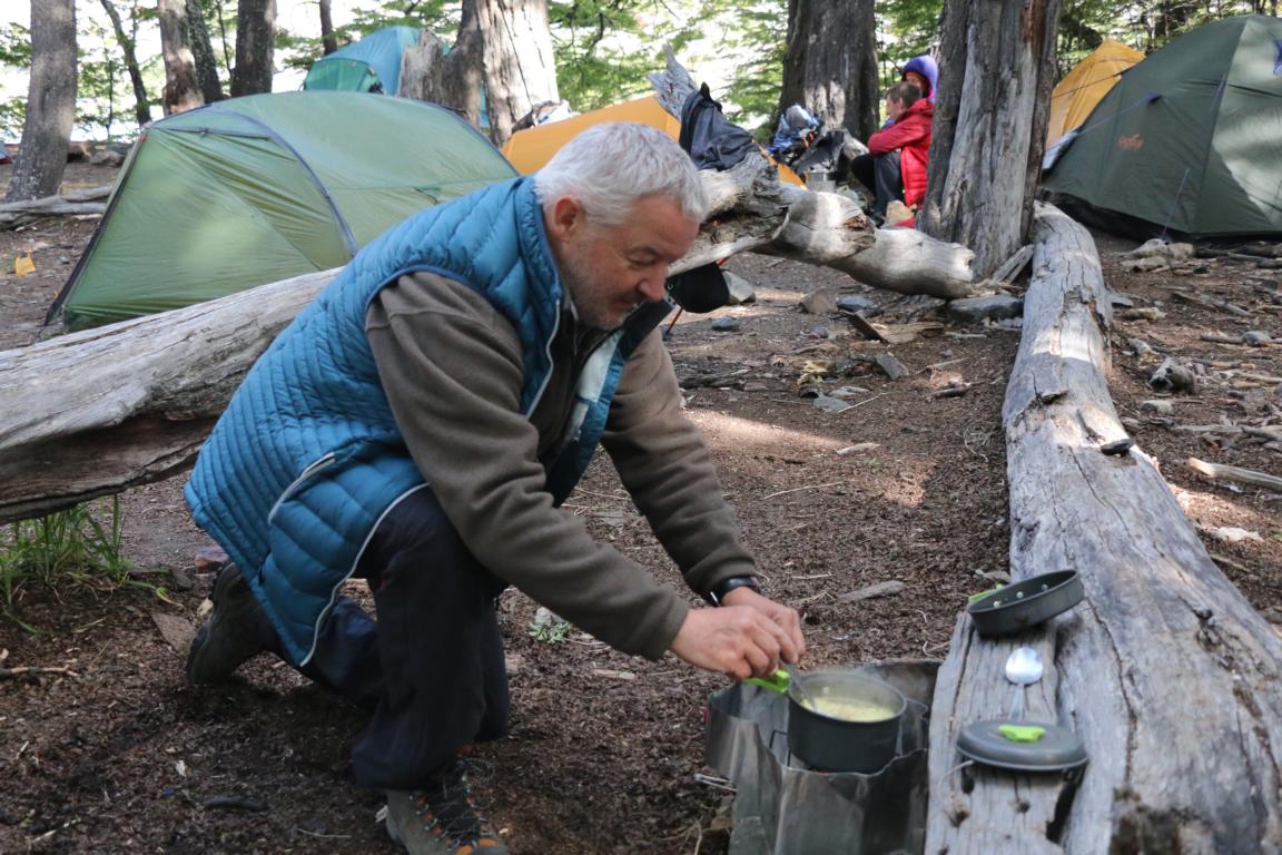
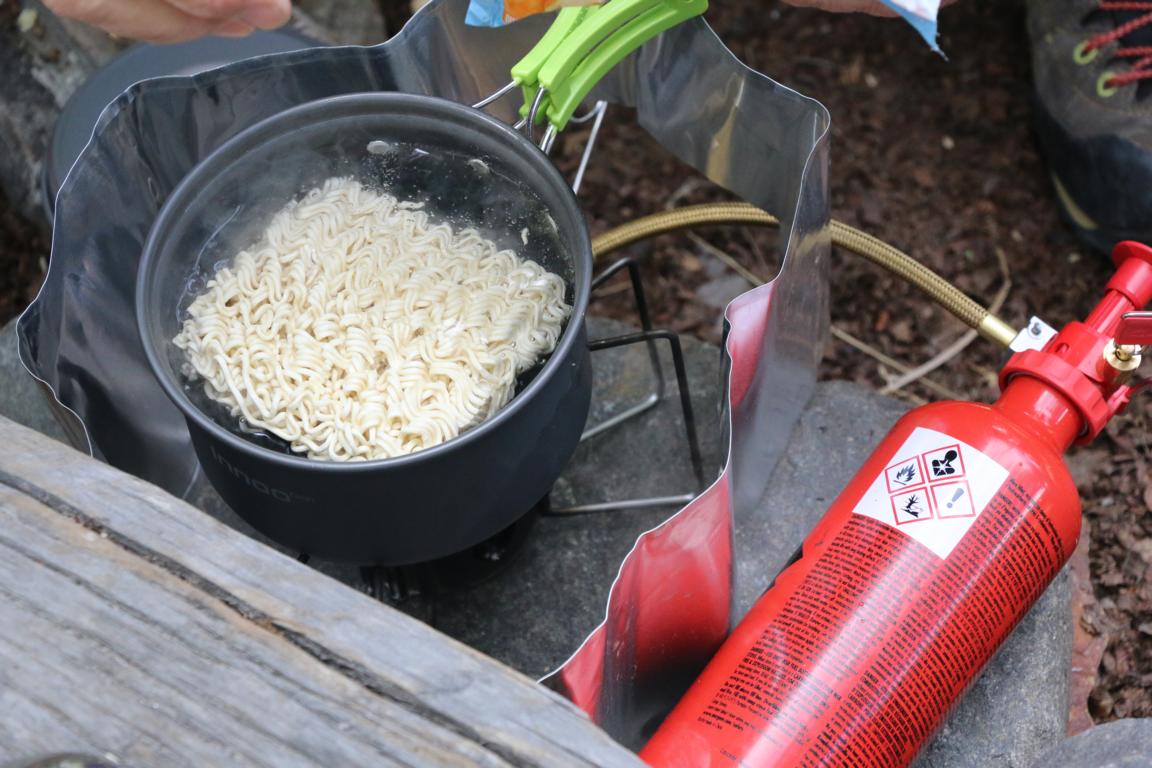
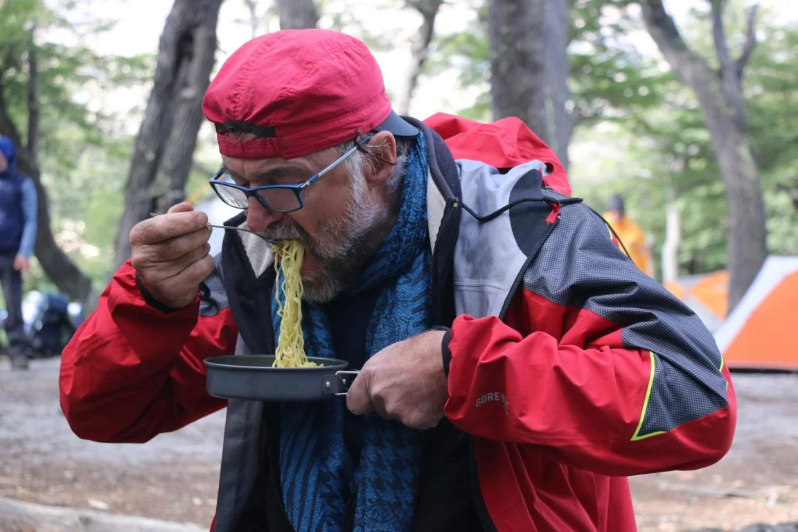
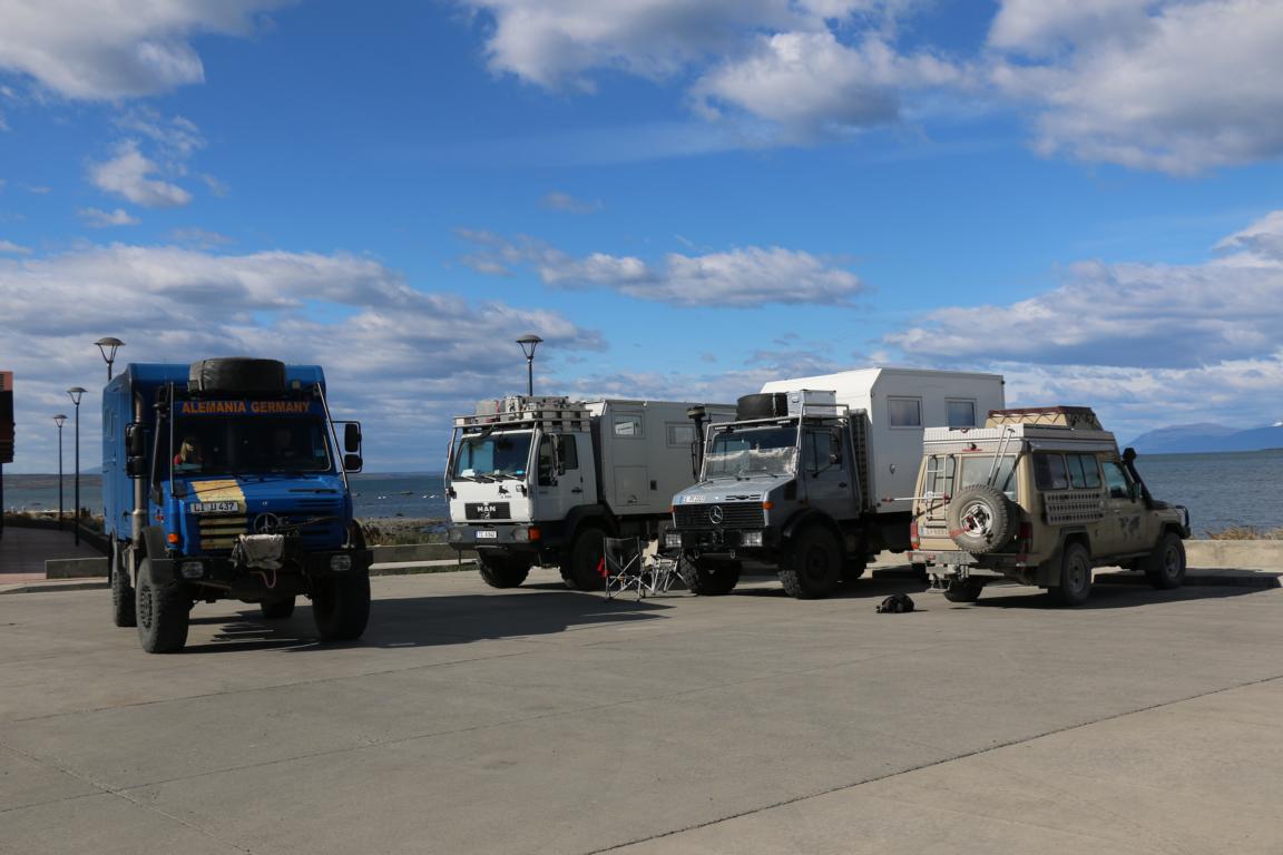
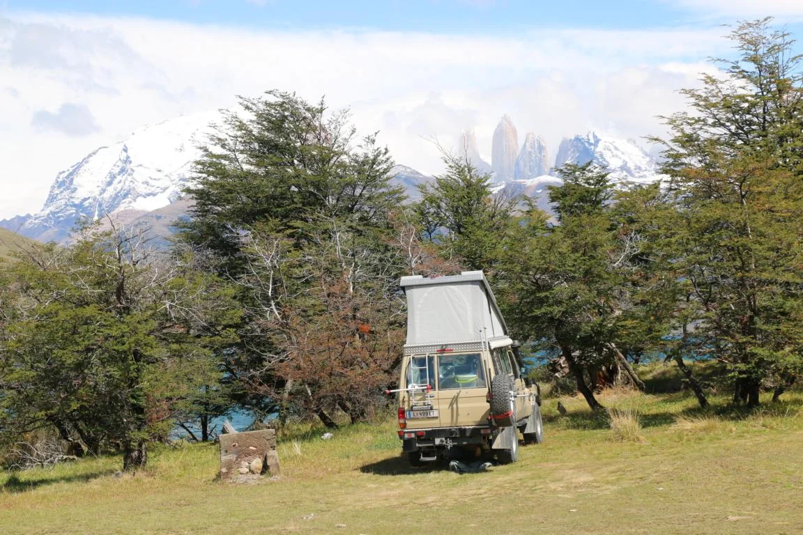
Images of cars travelling along R 40. Our car is means of transport, home, and kitchen, as well.
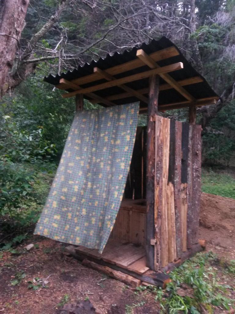
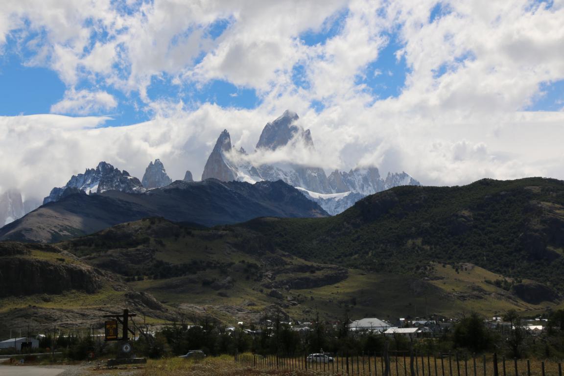
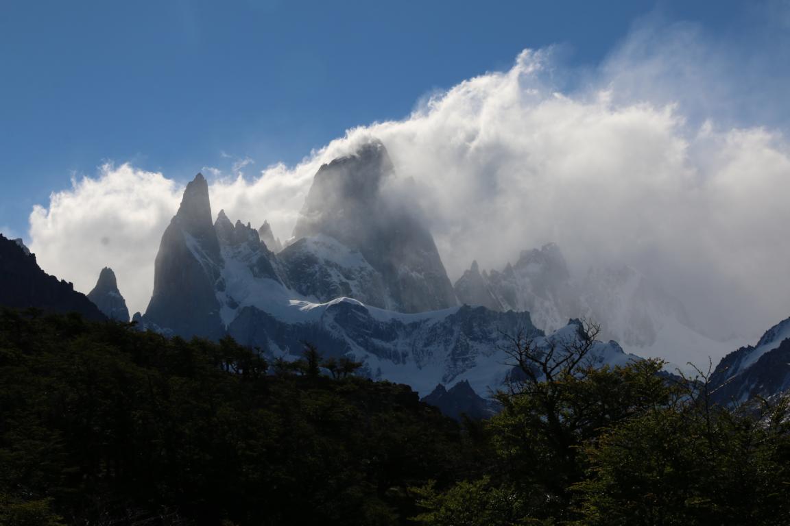
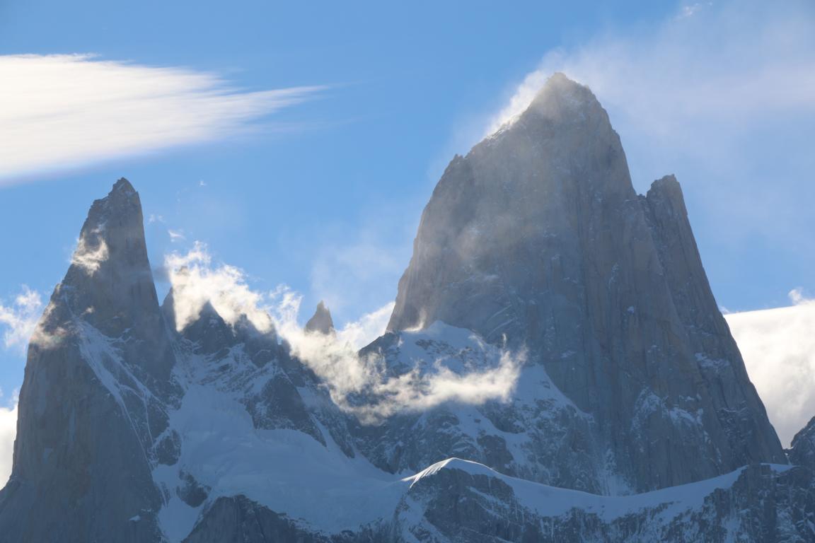
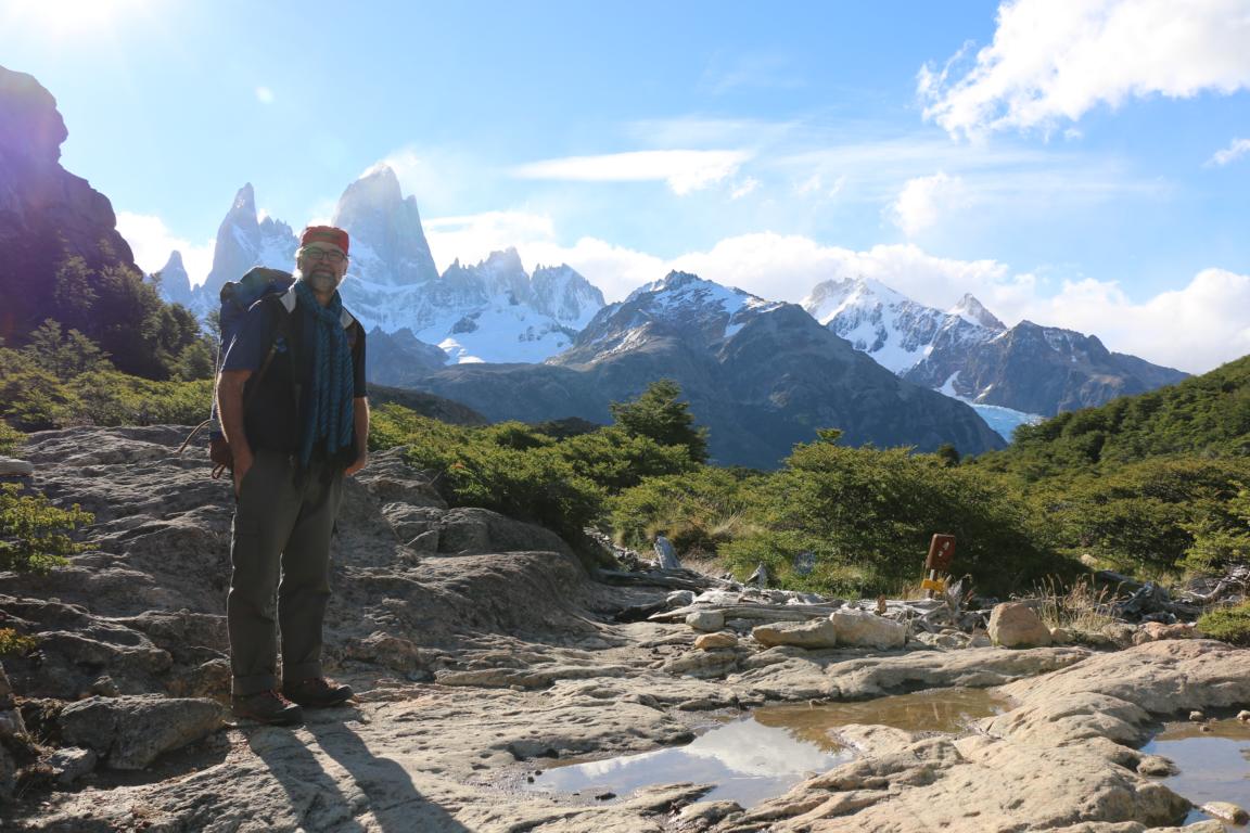
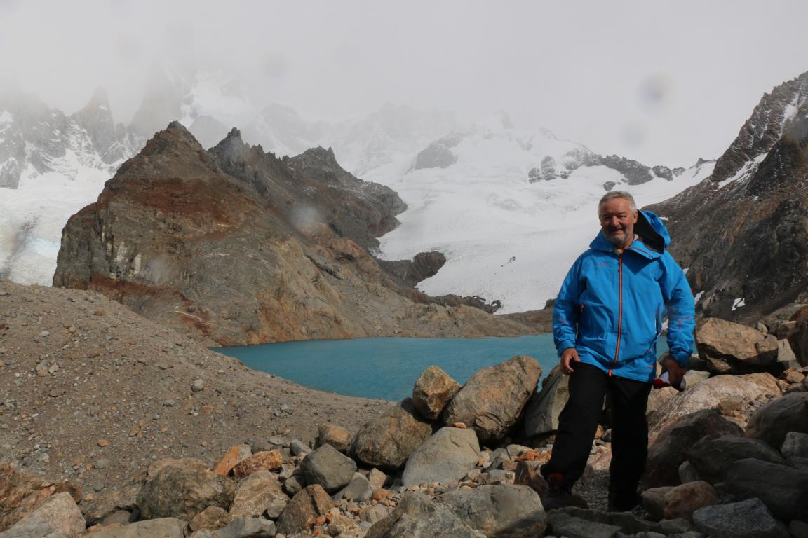
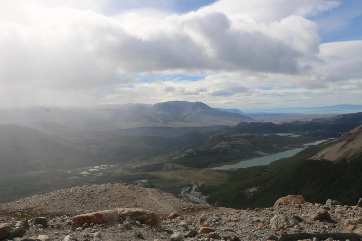
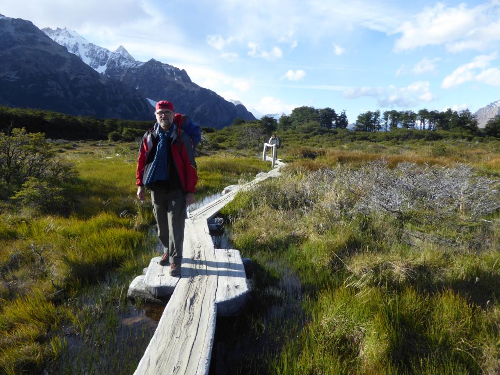
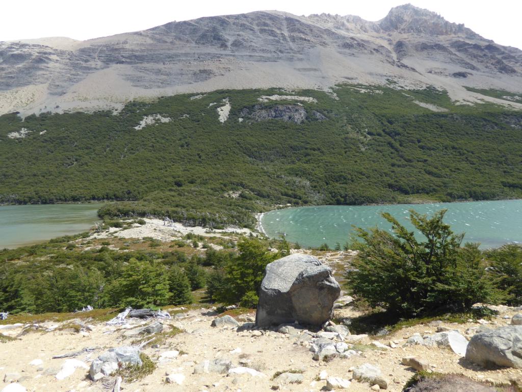
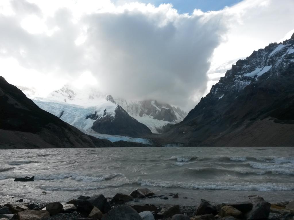
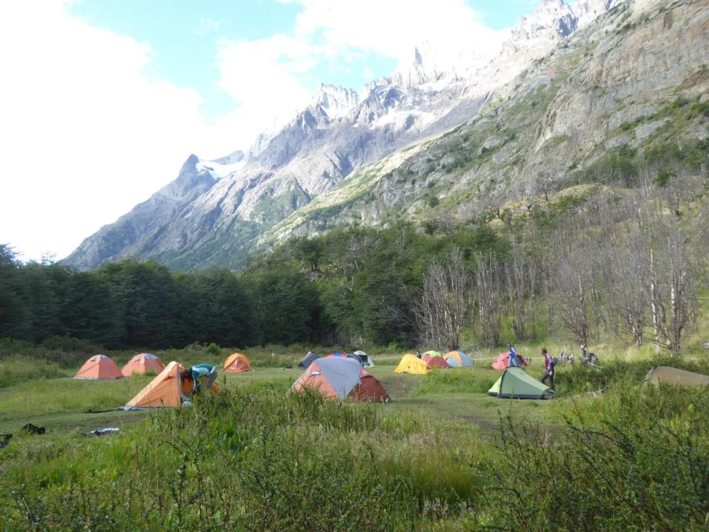
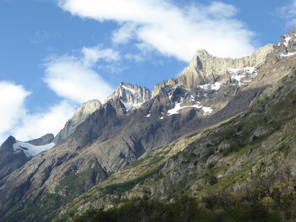
Parque Nacional Los Glaciares (Glacier Nacional Park): We conducted a three-day hike to the view points of Mt. Fitz Roy (visible) and Cerro Torre (hidden behind clouds). Park regulations aimed at preserving nature are quite strict and you need to carry all your waste (incl. the used toilet paper!) out of the park yourself.
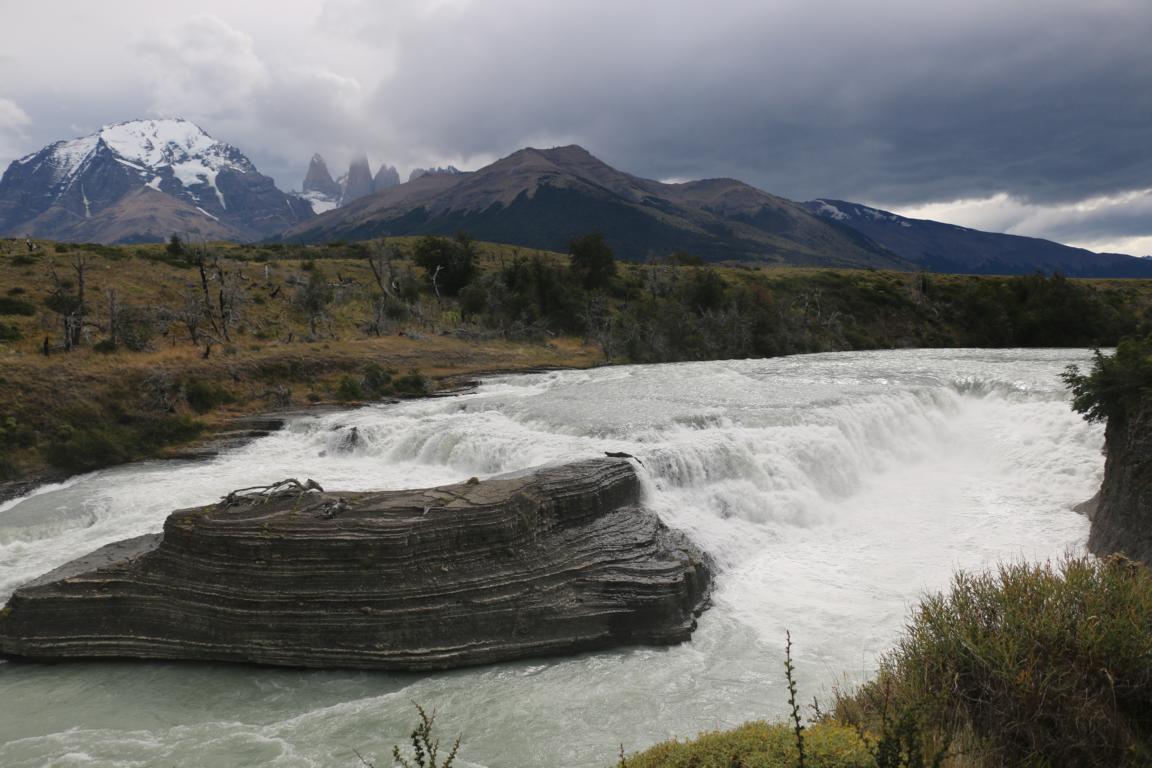
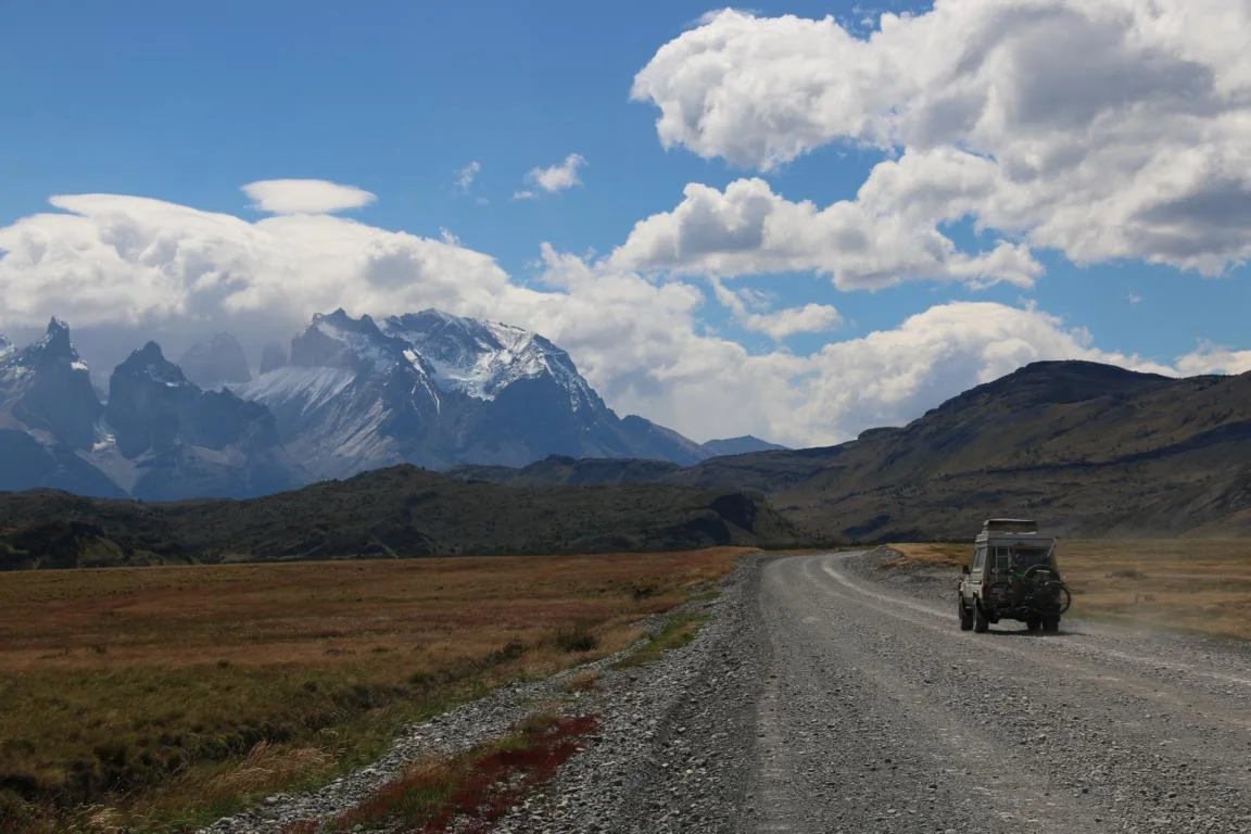
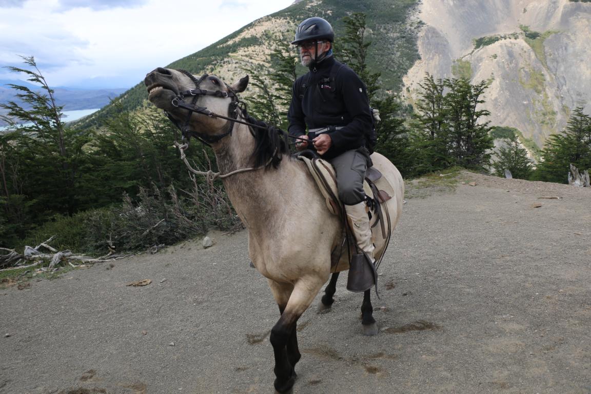
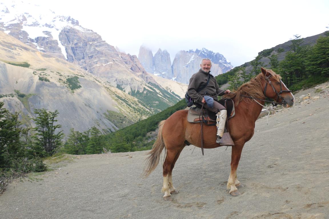
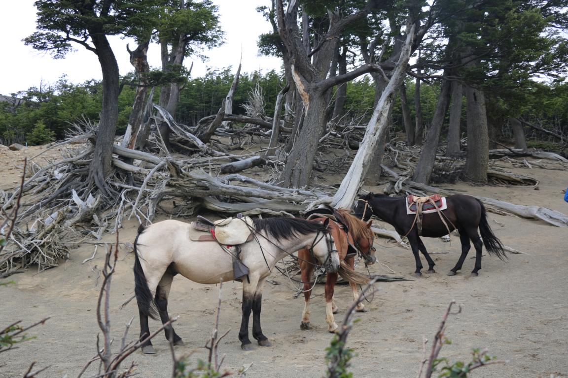
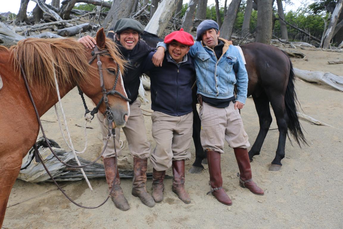
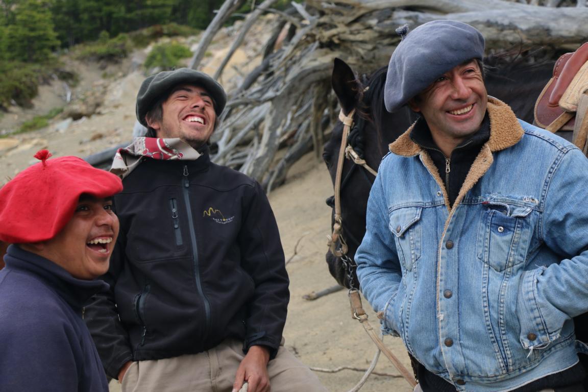
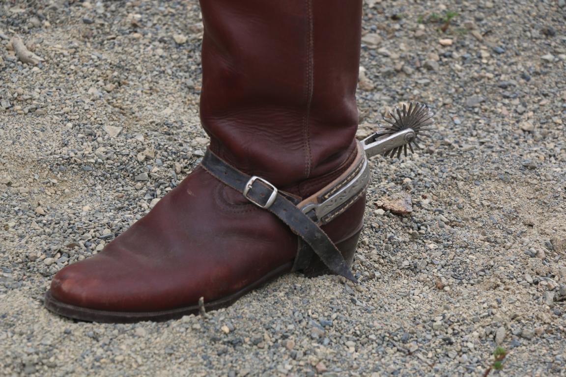
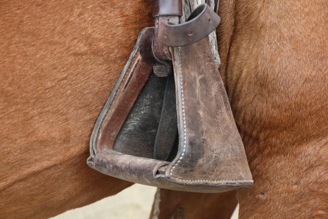
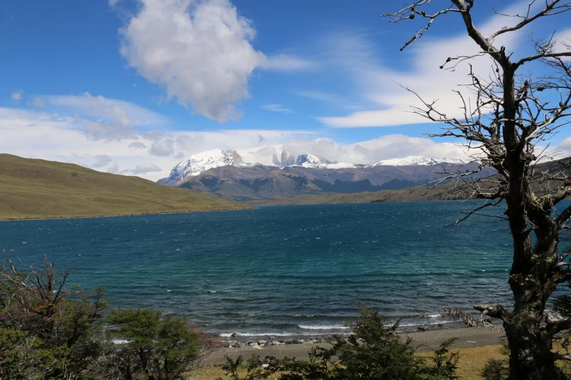
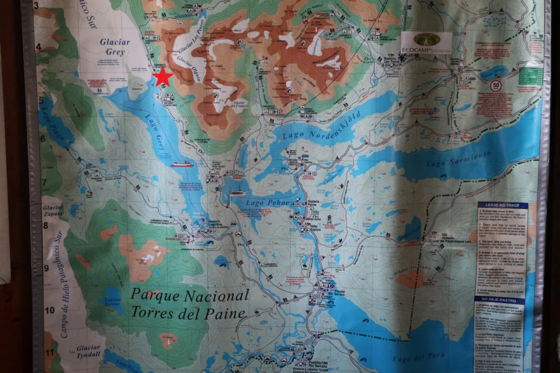
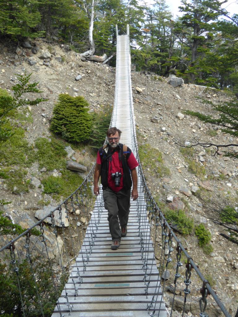
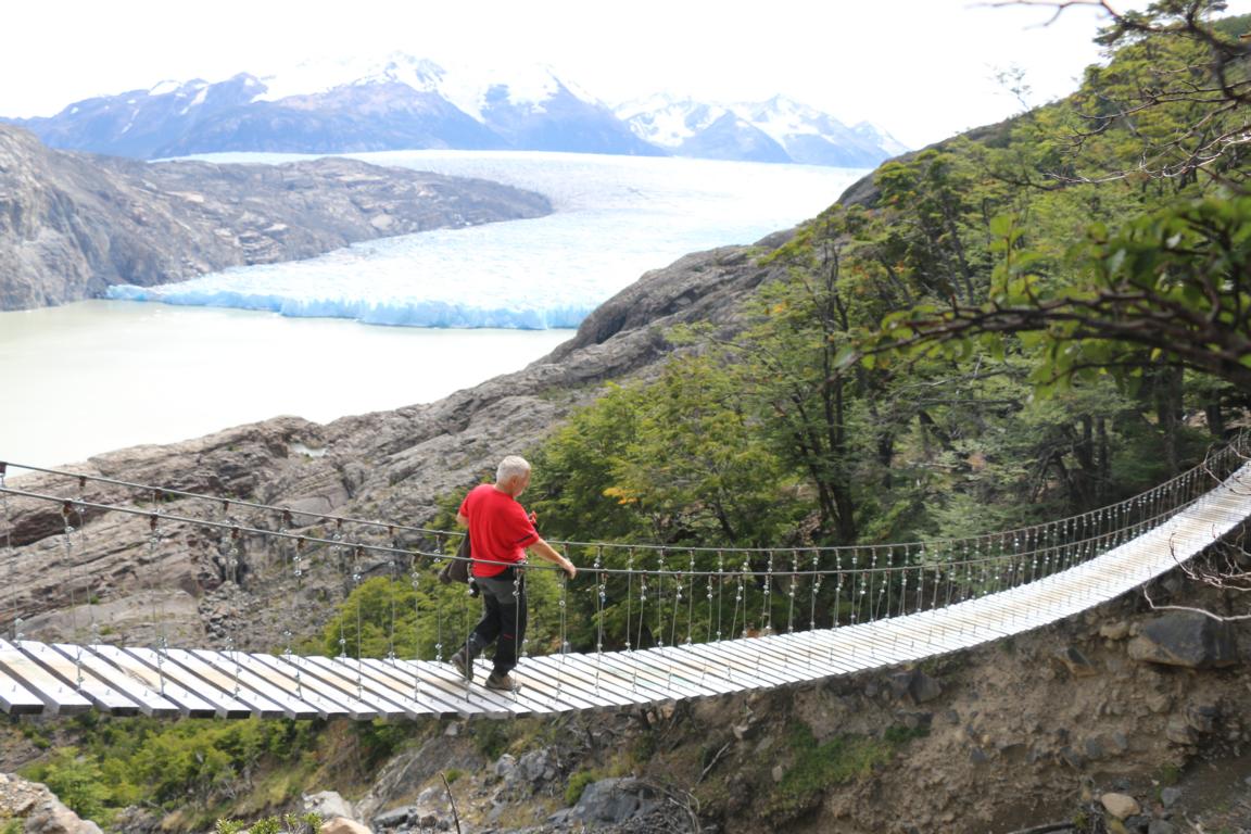
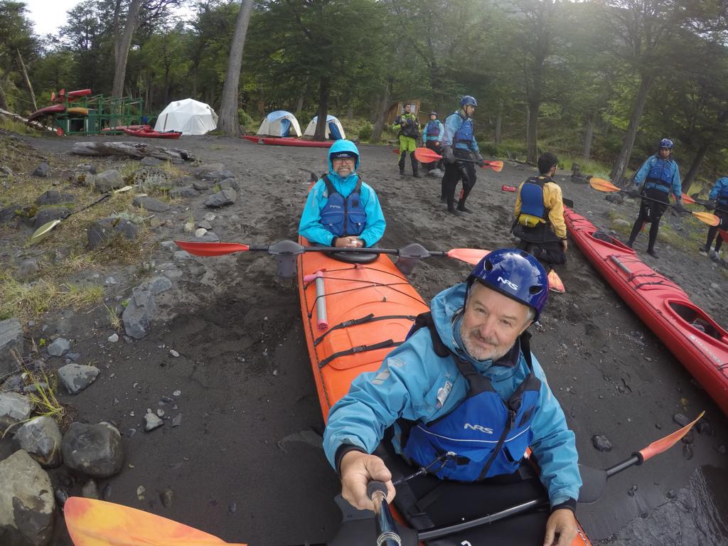
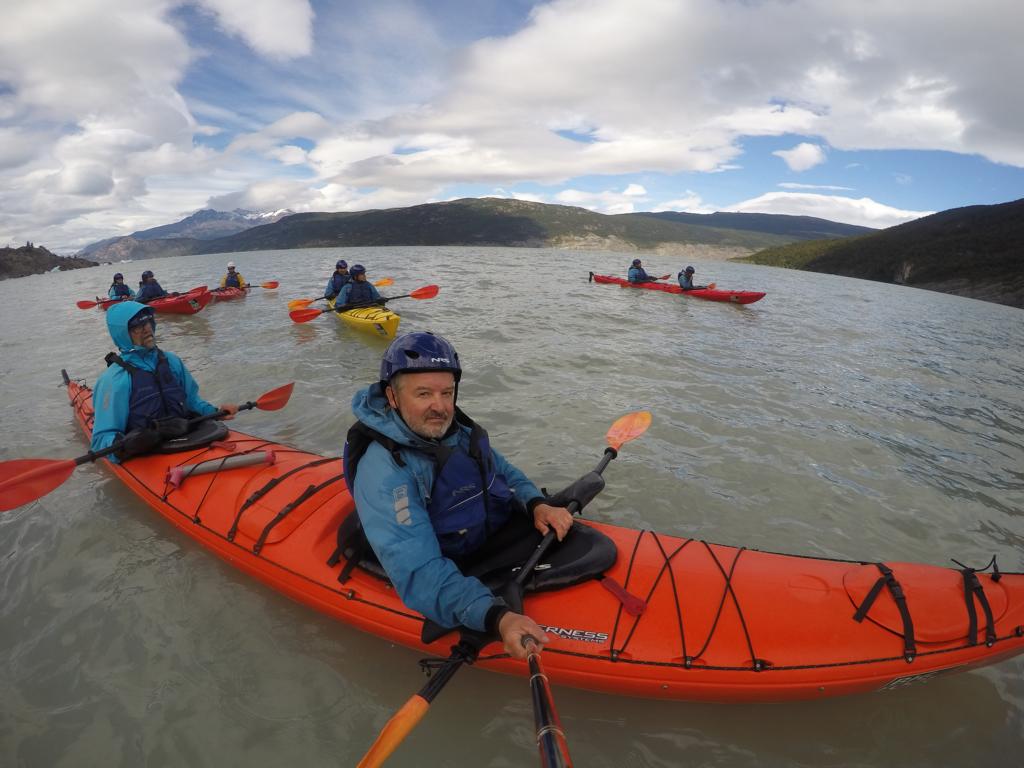
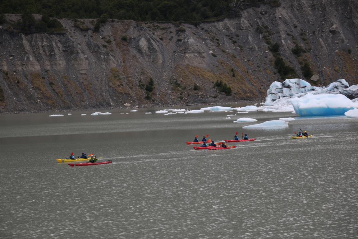
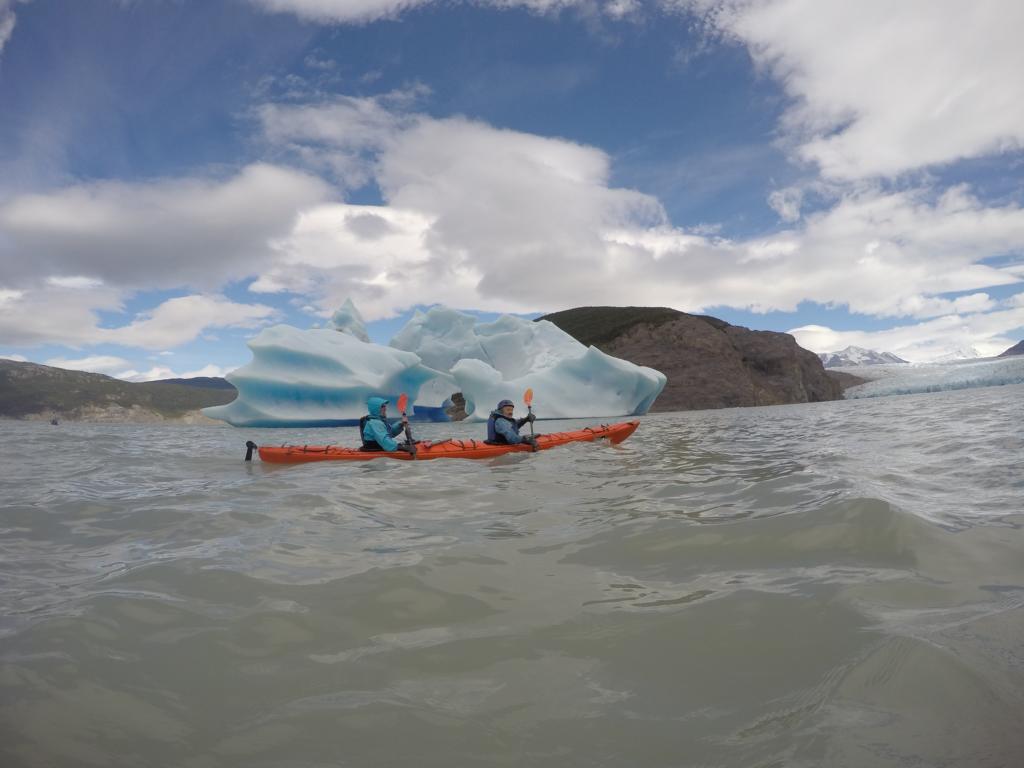
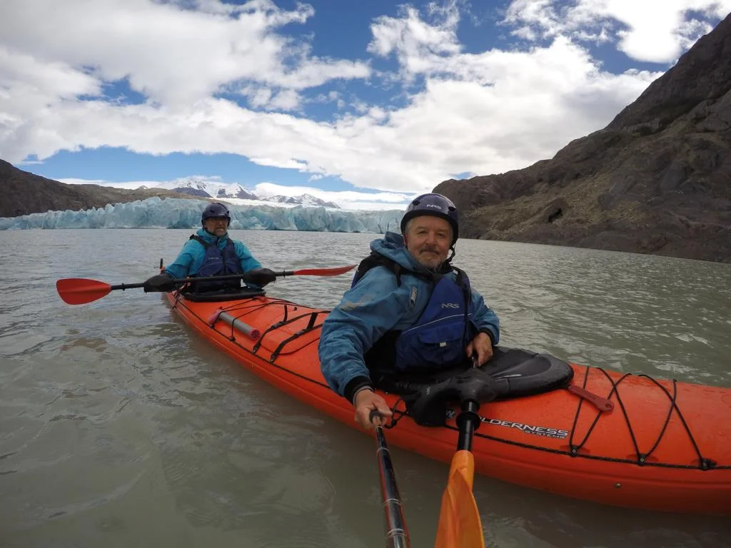
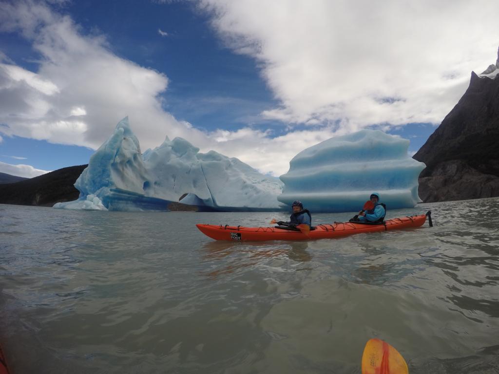
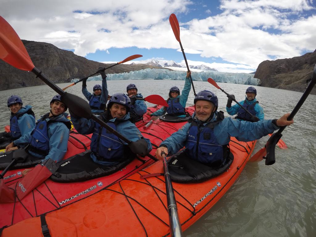
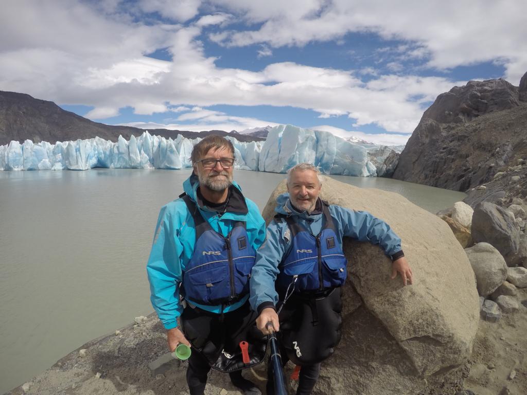
Chile: North of Puerto Natales is the Parque Nacional Torres del Paine. As camp sites for the W-Trail were booked out months in advance, we decided to do horse-back riding and day trips.
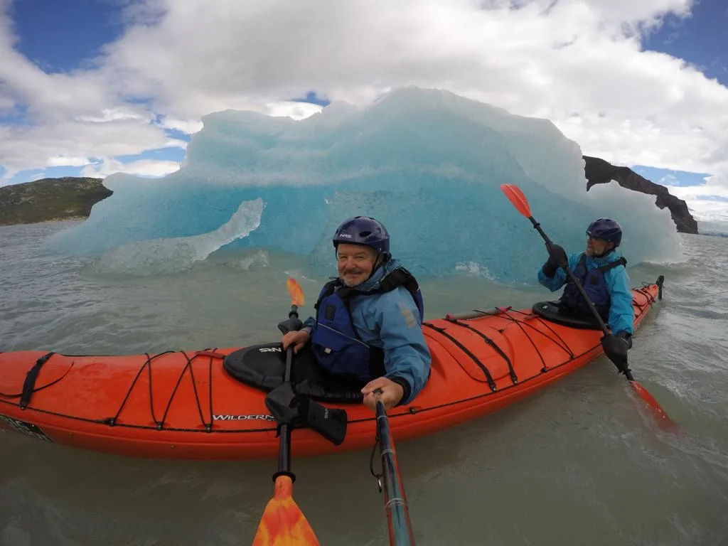
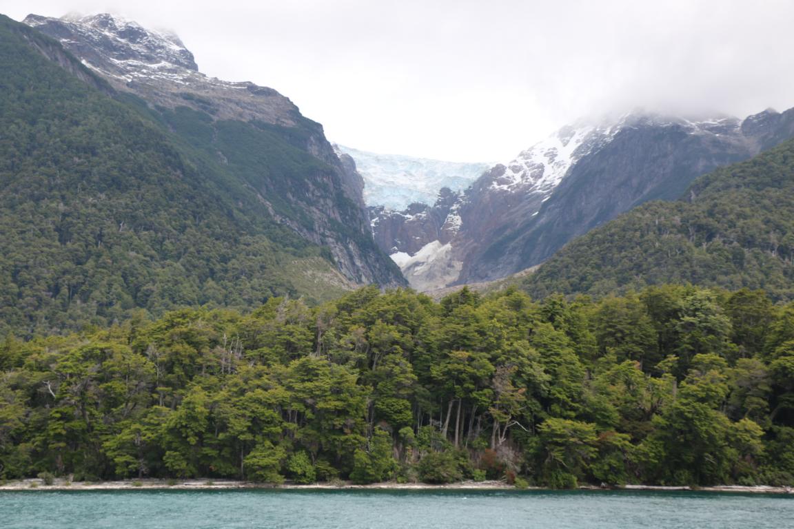
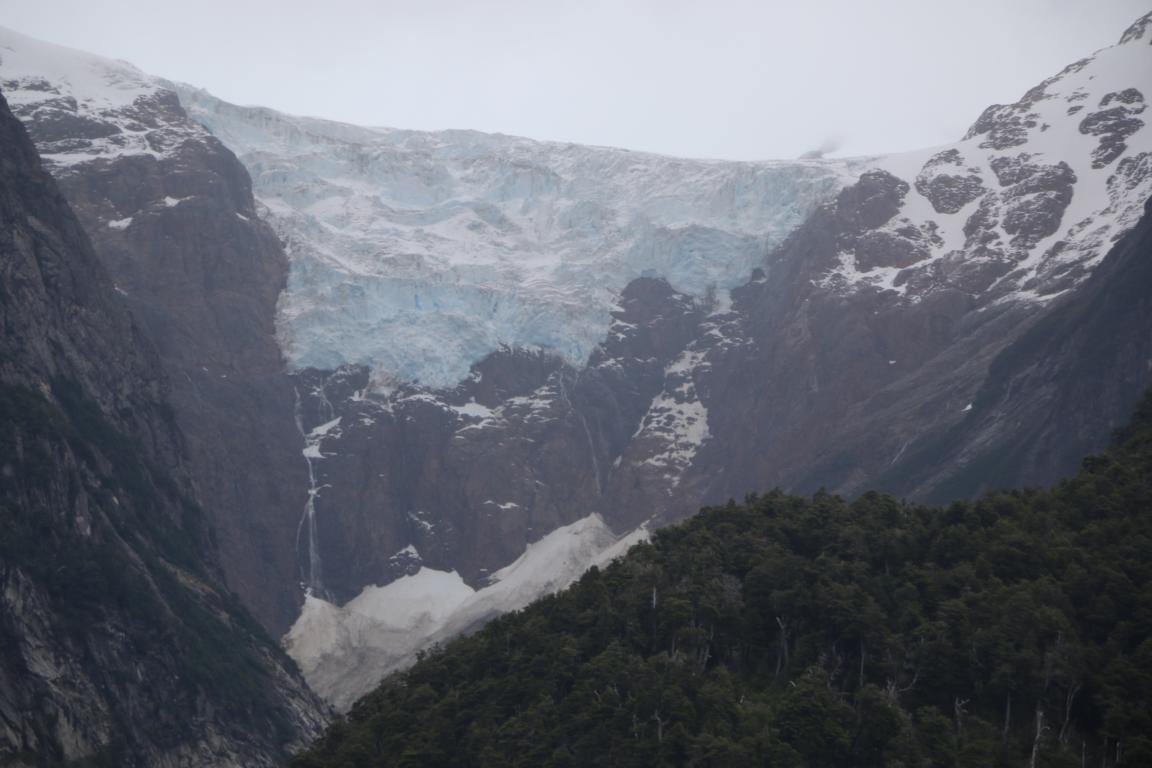
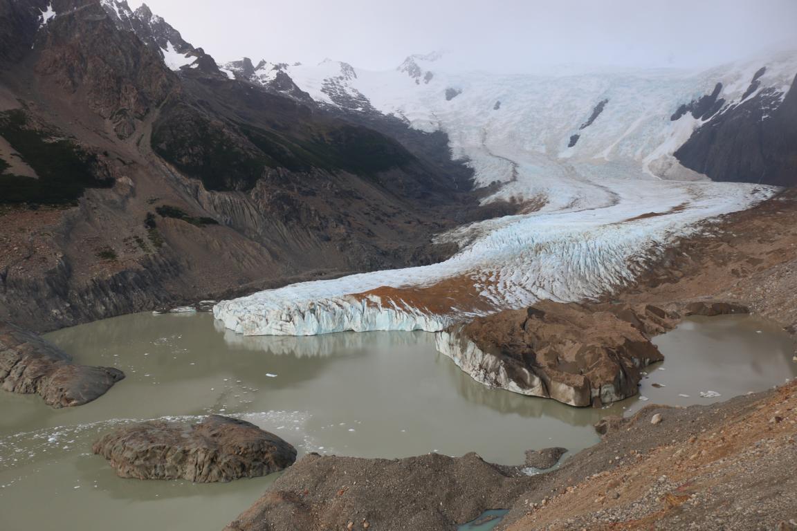
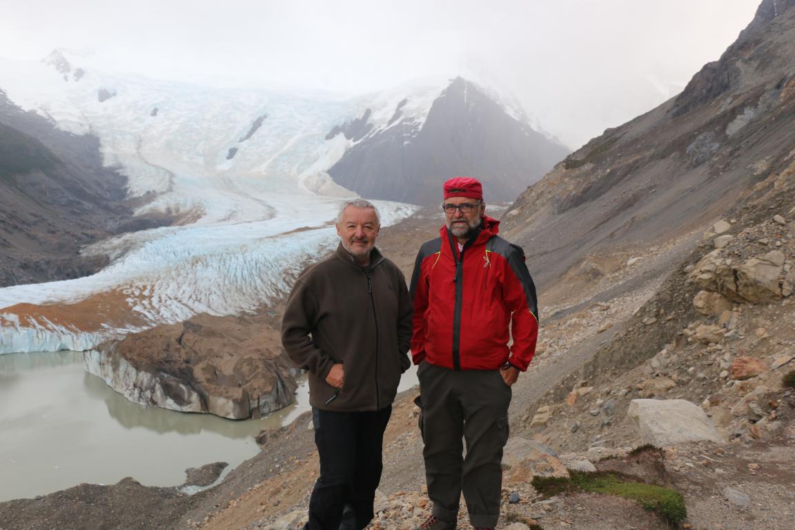
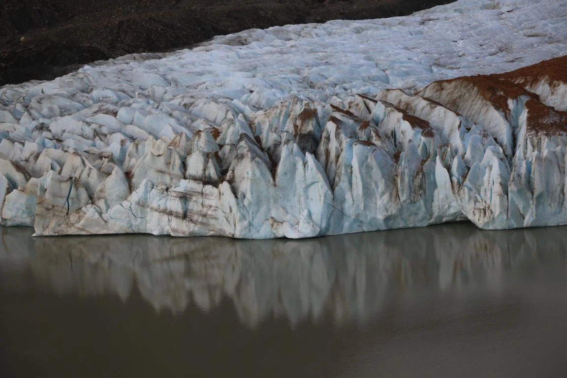
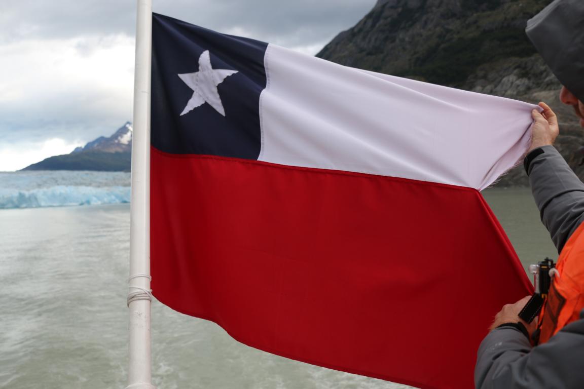
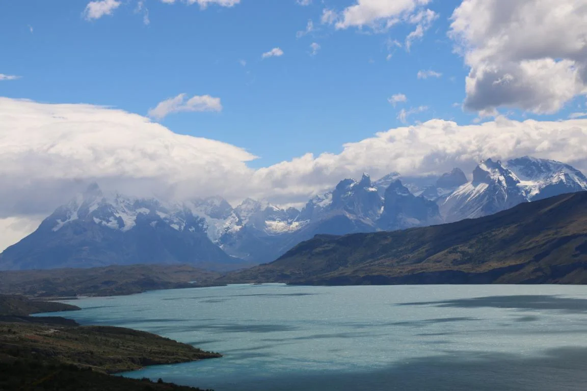
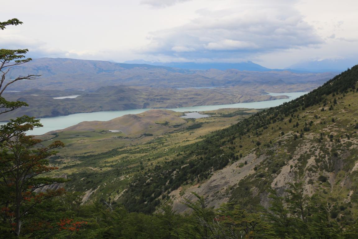
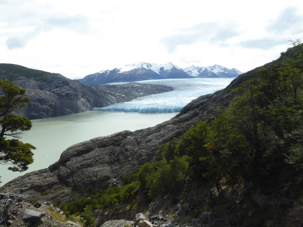
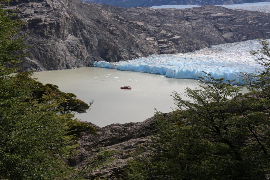
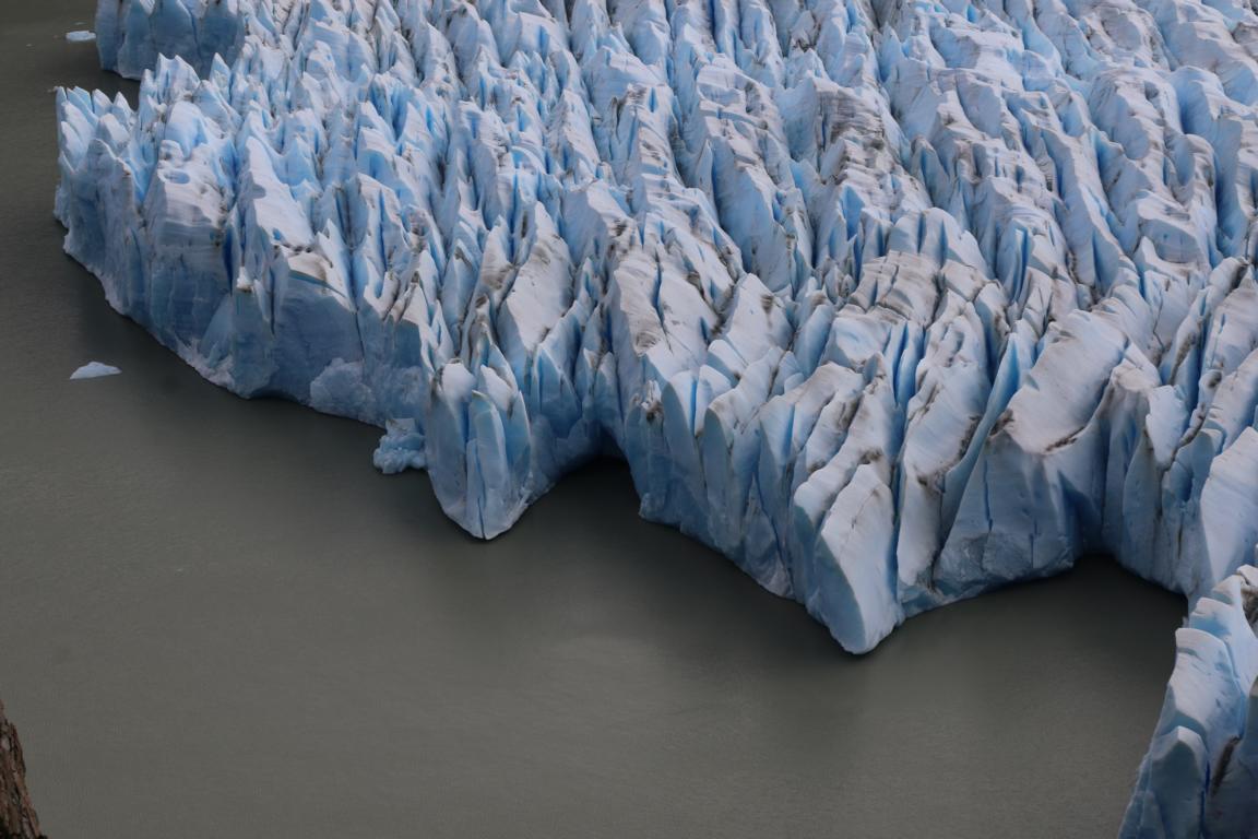
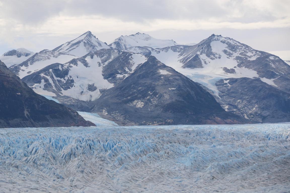
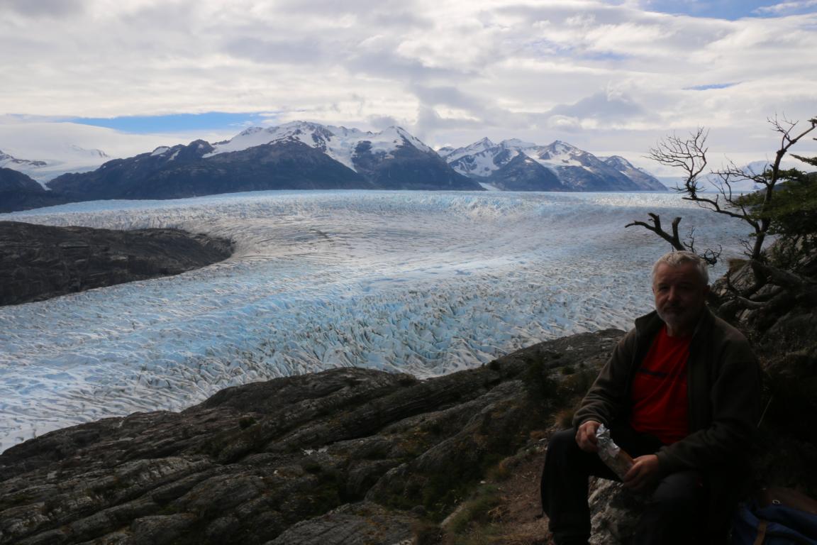
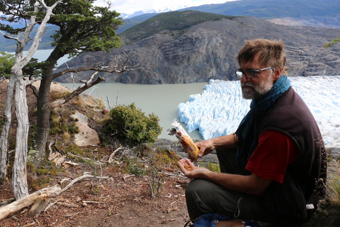
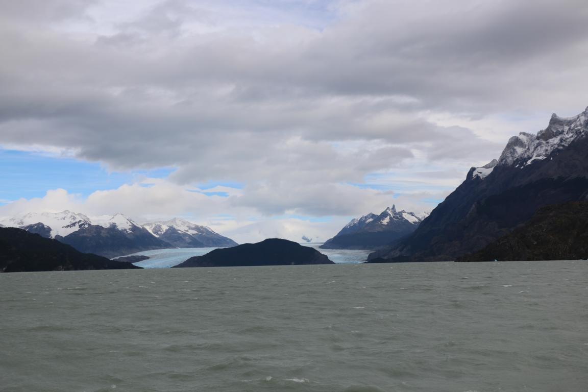
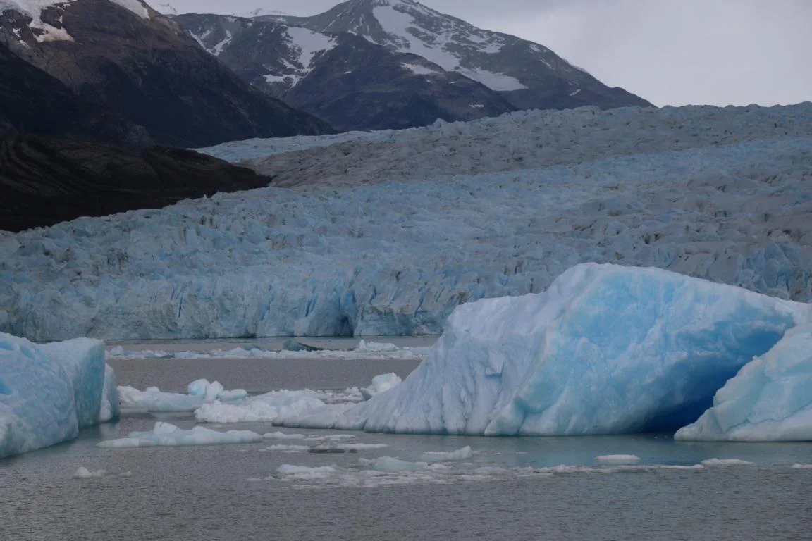
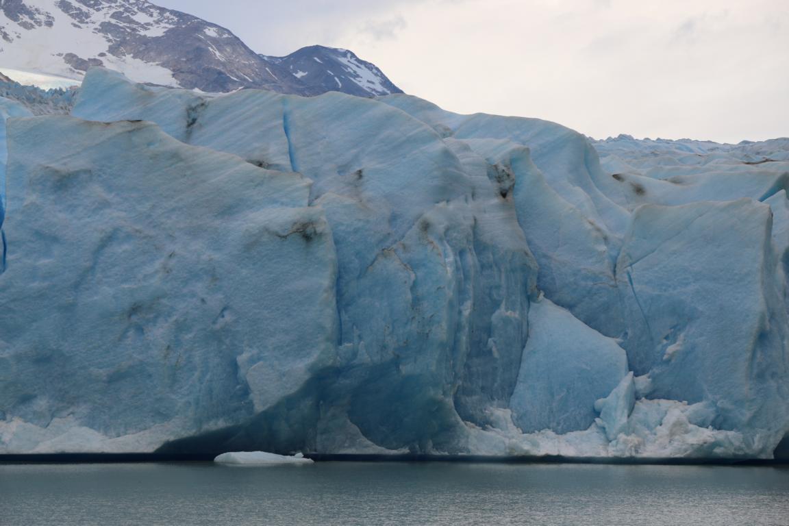
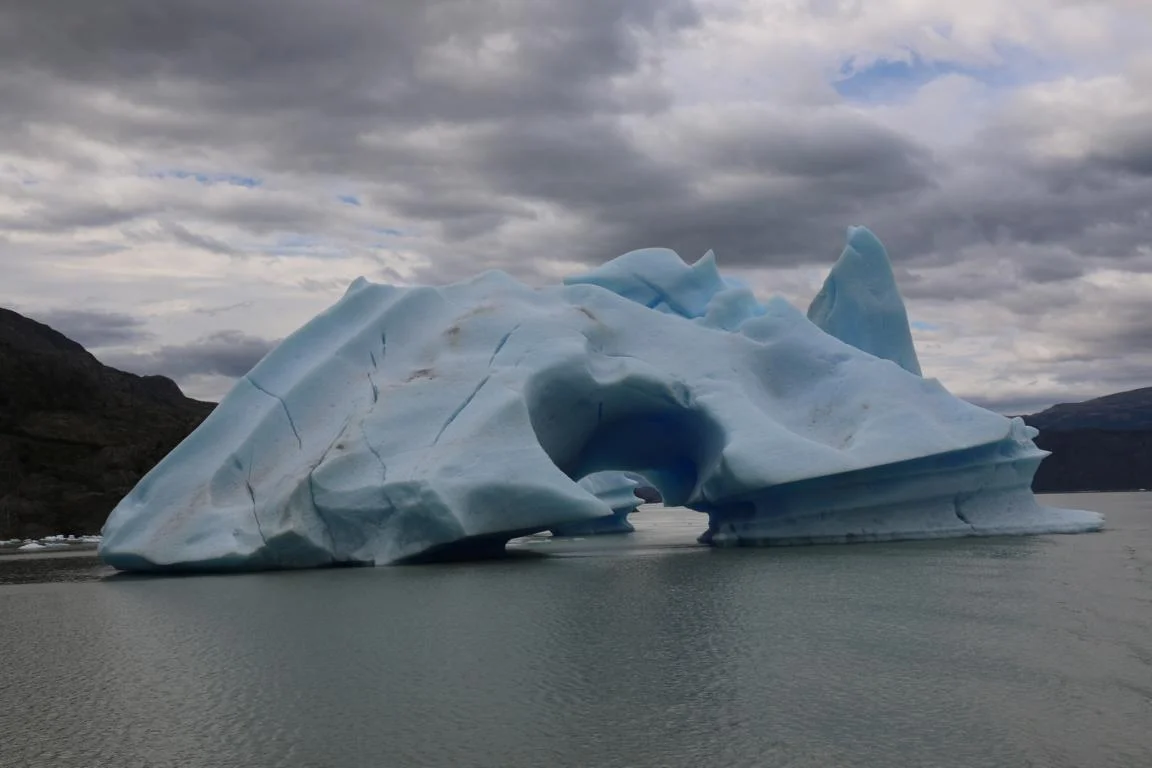
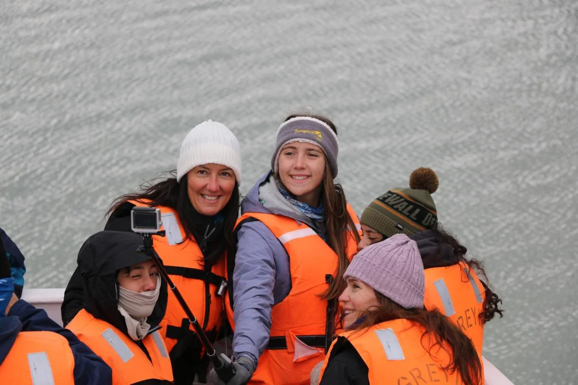
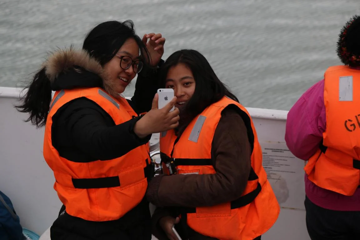
Lago Grey: The Grey glacier forms part of the Southern Patagonia Ice Field (12,363 km2 large) and flows into the Grey Lake which is some 50 m above sea level. At the point where the glacier calves the lake is 400 m deep. Therefore, one literally only can see the tip of the iceberg. You can access the glacier on foot, by using a tourist boat or by kayak. Obviously one needs to keep a safe distance to the glacier.
If you want to see a picture in full screen size, just double click on it.