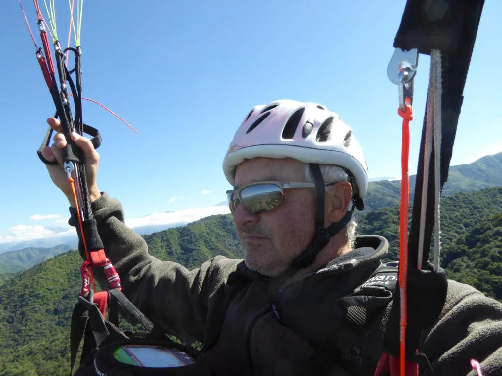
Paragliding in Argentina 2017
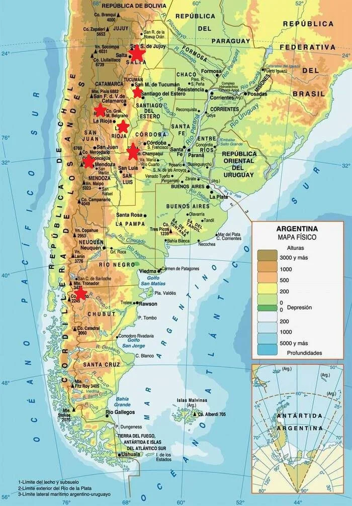
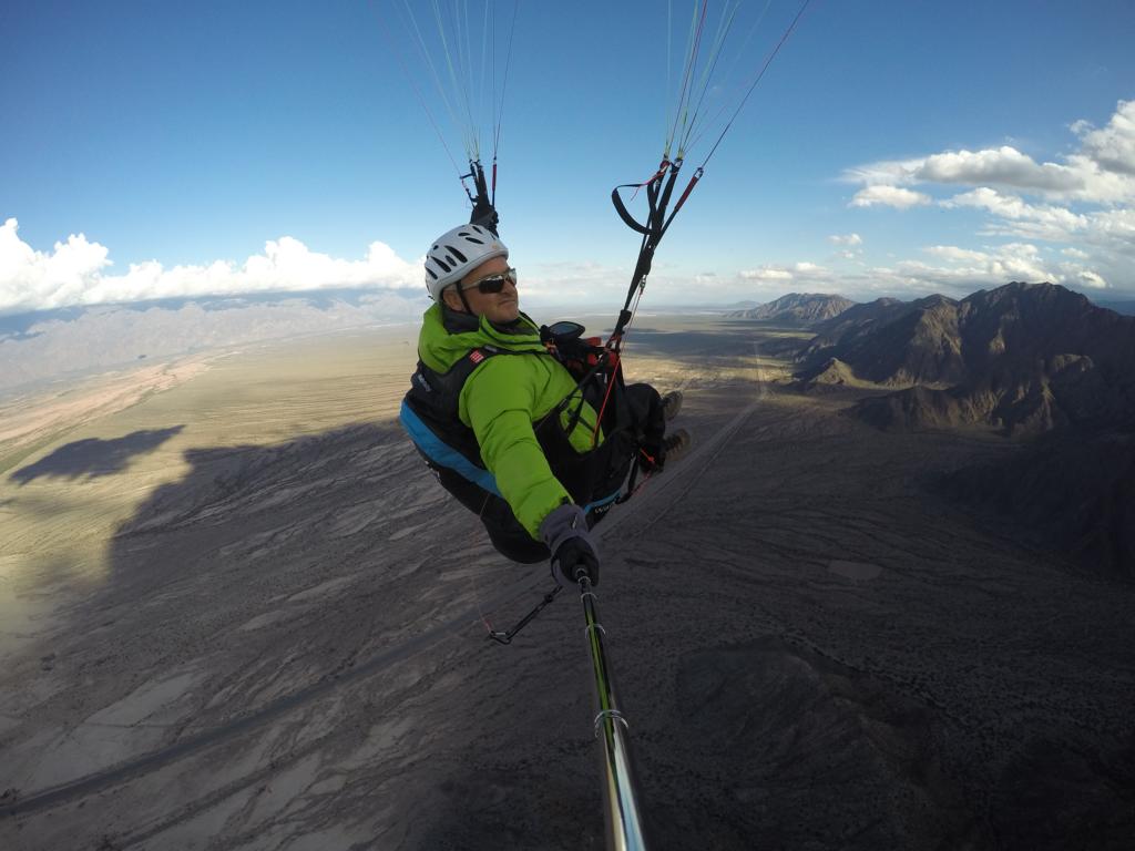
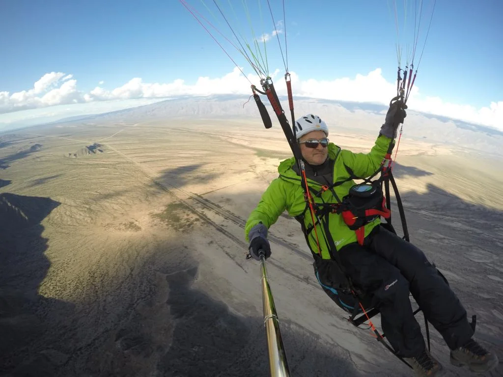
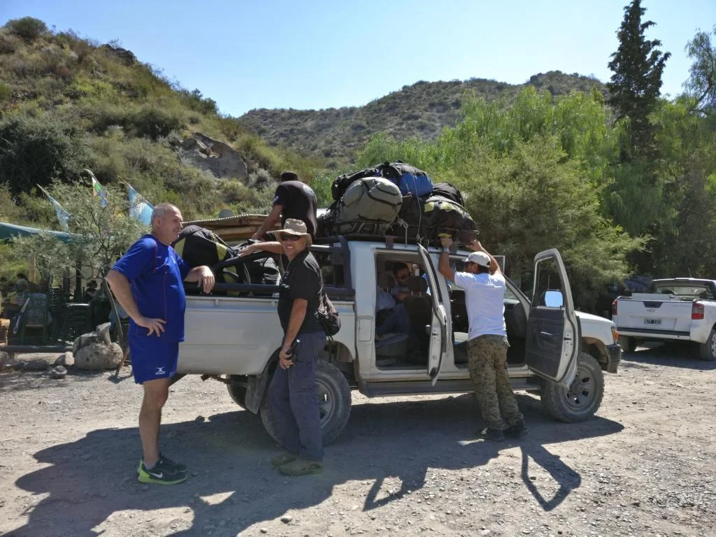
Between January and April 2017 I have been paragliding in a number of interesting sites in Argentina. The purpose of the following blog / photo series is to provide a summary which should encourage pilots from around the world to also make this journey. The flying sites described below are lined up on a North-South axis and it will take you roughly three to four weeks to visit and fly these sites (driving distance between El Bolson in the south and Salta in the north is 2,521 km). There would also the possibility to combine these sites with soem intersting flying sites in Chile (e.g. around Santiago/Cajon de Maypo, Maitencillo and Iquique). In case you live in the northern hemisphere Argentina would be an excellent alternative to escape the (northern) winter months.
When flying in Argentina mind the following:
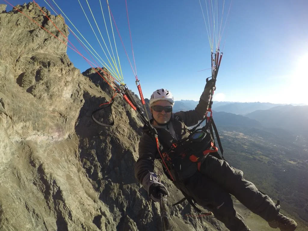
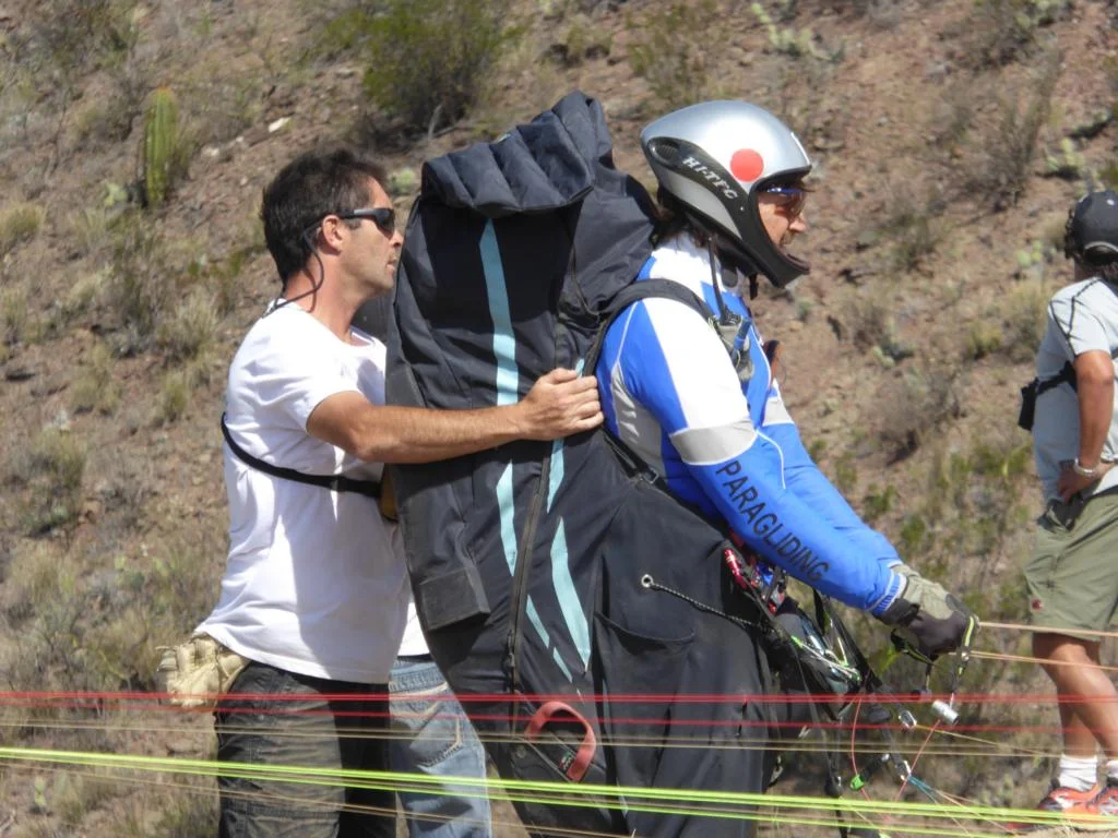
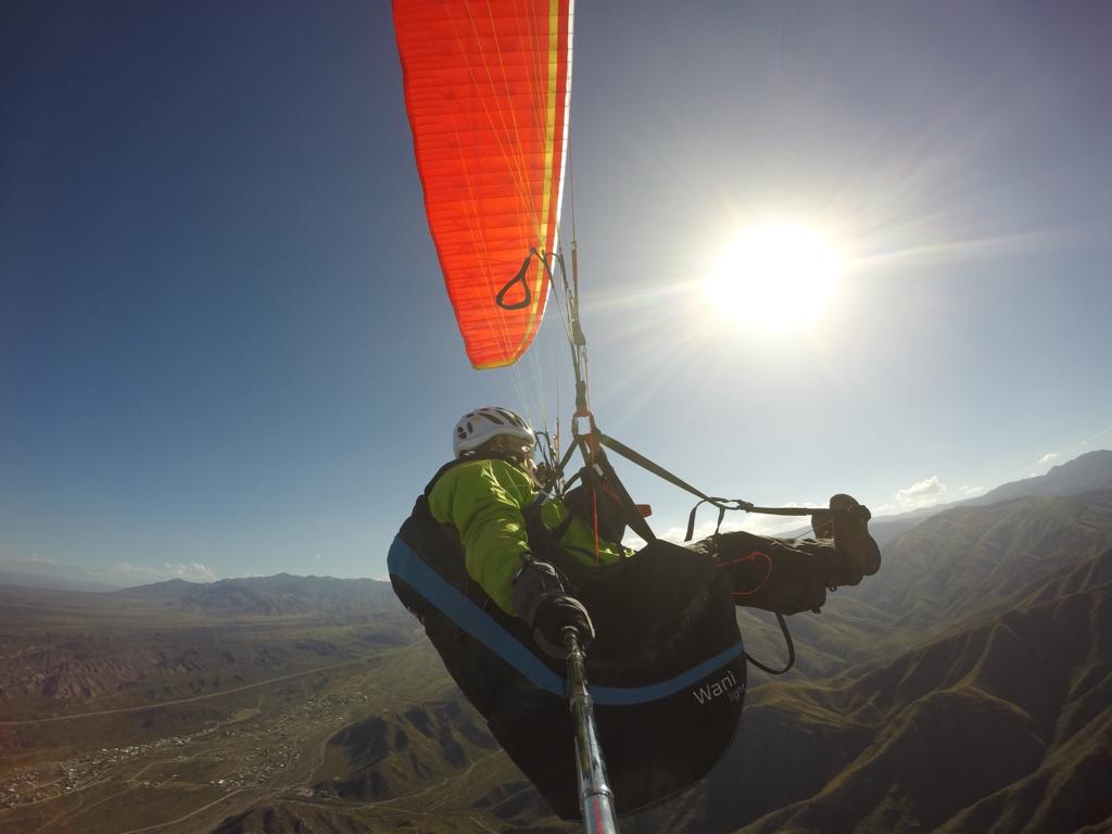
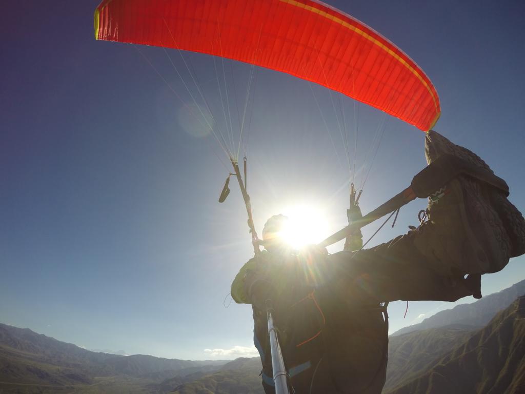
Wind at the start might be quite strong. Sound ability to start backword is a must.
In case you come from the northern hemisphere forget what you learned in (flying)school. Sun raises in the east, then moves to the NORTH and sunset is in the east. So plan your route accordingly in case you want to find thermals.
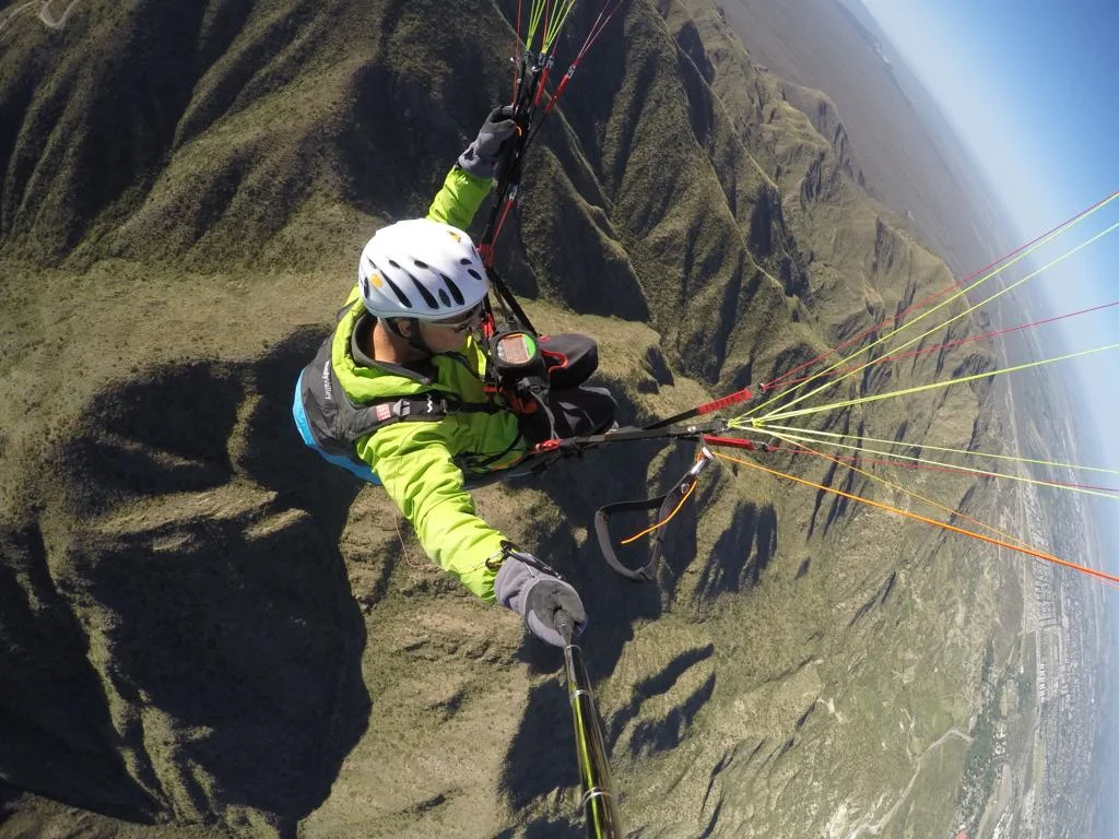
In many areas there is no mobile phone coverage. Local pilots therefore use radios and expect that you also bring your radio with you.
Do not forget to carry your pilot licence and the insurance documents of the wing with you. You might be asked to present them before the flight.
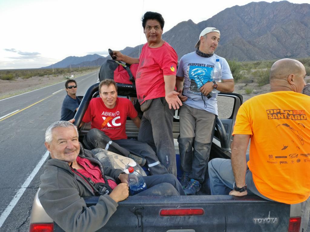
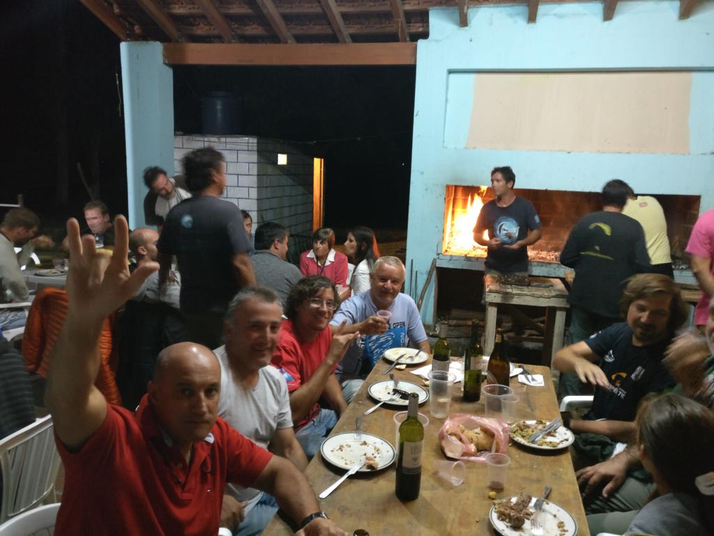
Argentinian paragliders are incredible hospitable and friendly. Get in contact with them and make friends (it certainly helps if you speak a bit of Spanish). Once you know the pilot community of one site pilots will arrange that you will be handed over from one site to the other. They are all very well connected.
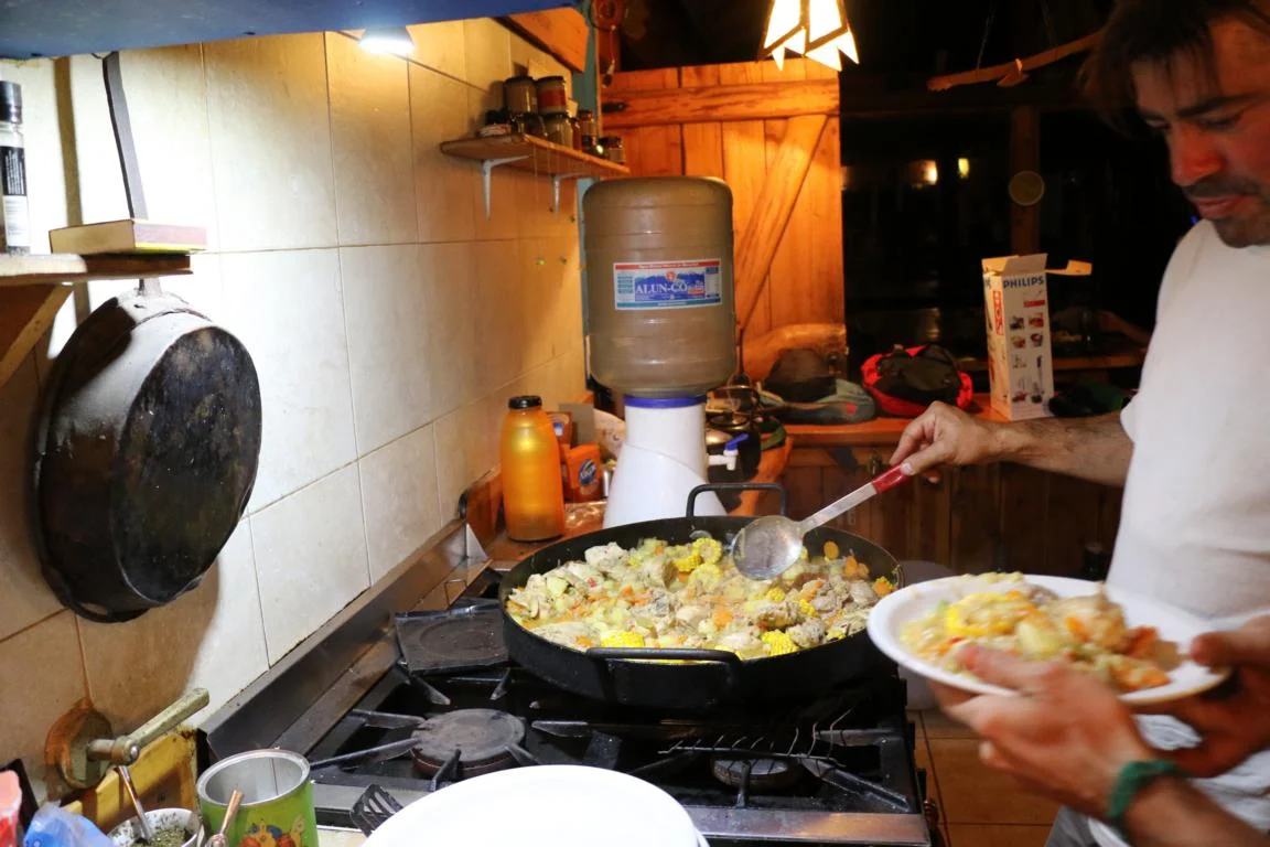
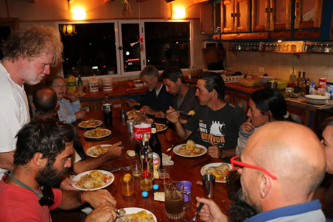
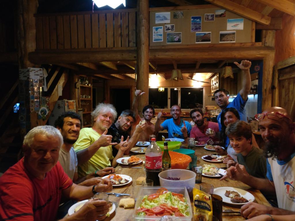
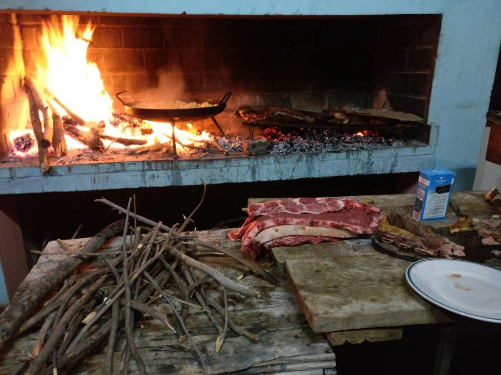
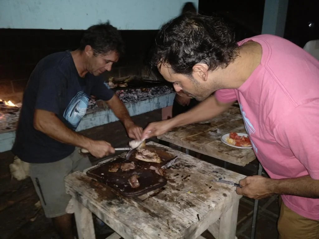
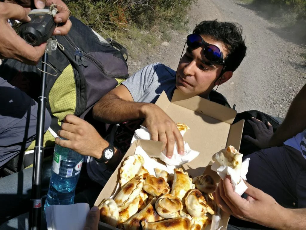
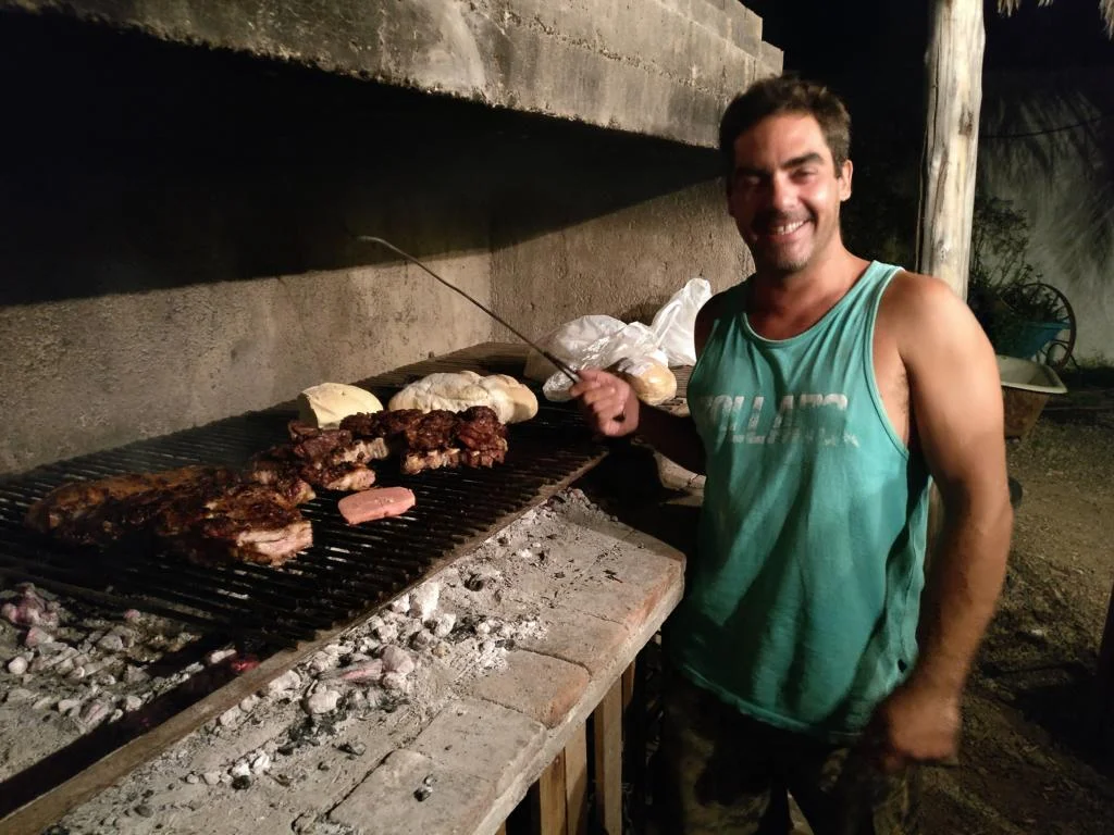
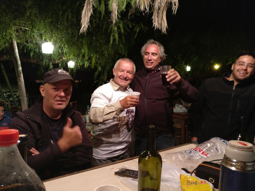
Having a joint dinner / asado or at least sharing a beer is an integral part of flying.
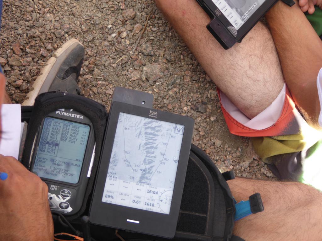
Where I have been flying myself I have added the coordinates of the take-off sites (Spanish: despegue) and the landing site (aterrizaje). You may find more detailed info via http://www.paragliding365.com/index-p-flightarea4_54_0.html
I will ask my Argentinean paragliding friends to provide me contact addresses for all sites. Therefore, you might find more detailed info on this website in a couple of weeks.
in below presentation flying sites are lined up from north to south. It is a matter of choice and season of the year which direction is better to travel. Keep in mind that the summer (December to February) is short in Patagonia.
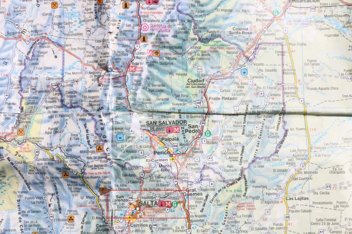
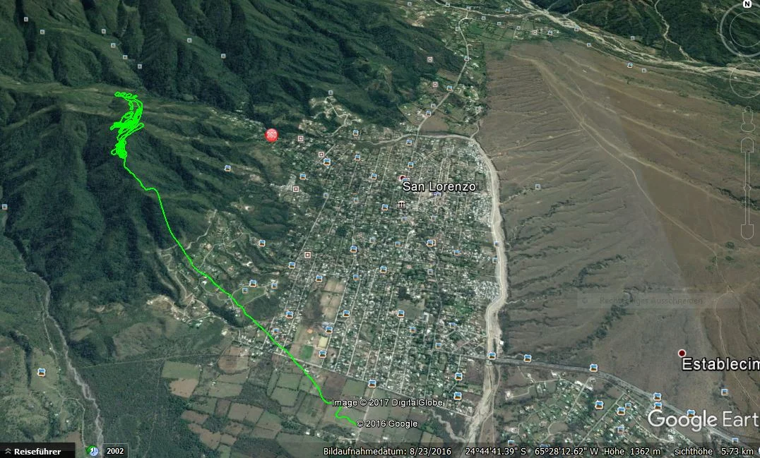
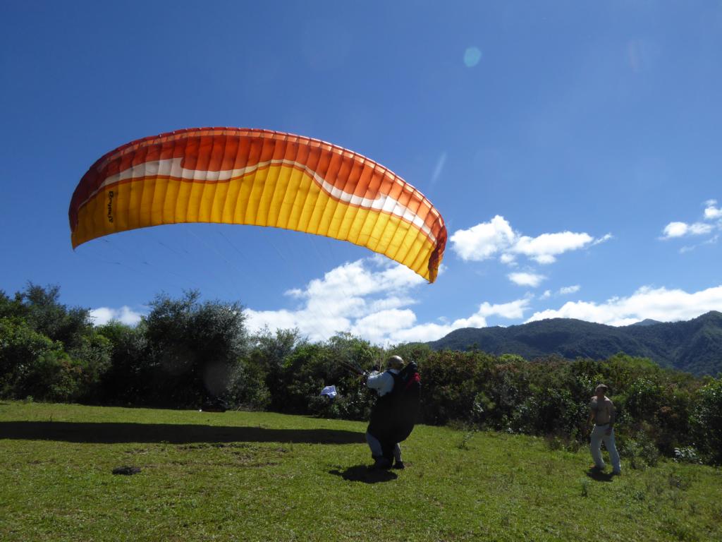
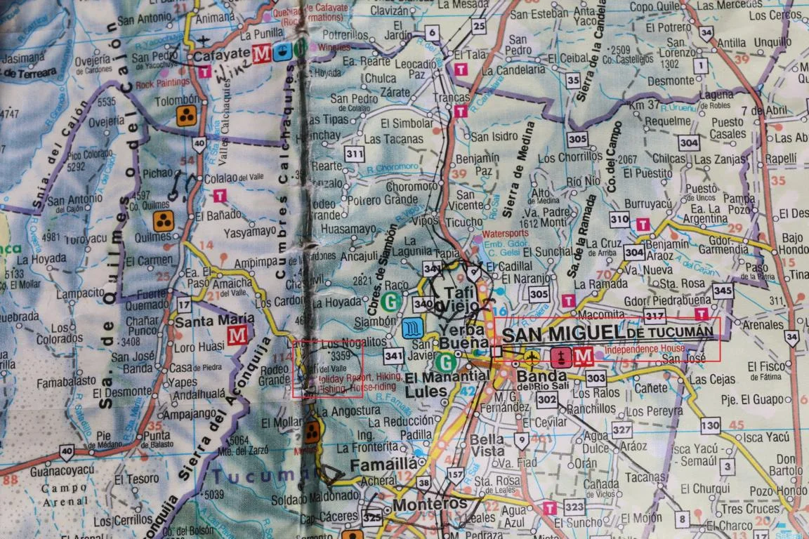
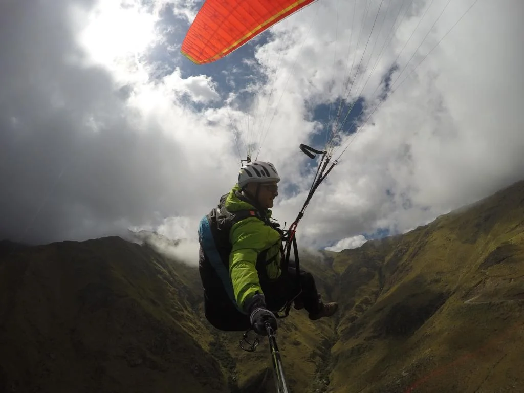
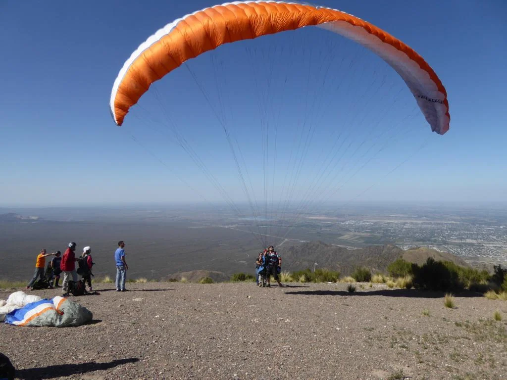
Salta: Around the city of Salta (North-west Argentina) there are a number of flying sites. I flew in the area of San Lorenzo. Take-off: S 24O43’41.65’’, W 65O 30’49.16’’, 1880 m; landing site: S 24O45’16.93’’, W 65O 29’28.73’’, 1292 m. The hill is located north of the town and you reach the start via a 60 min walk on a fairly step path. The landing site is a rugby training field.
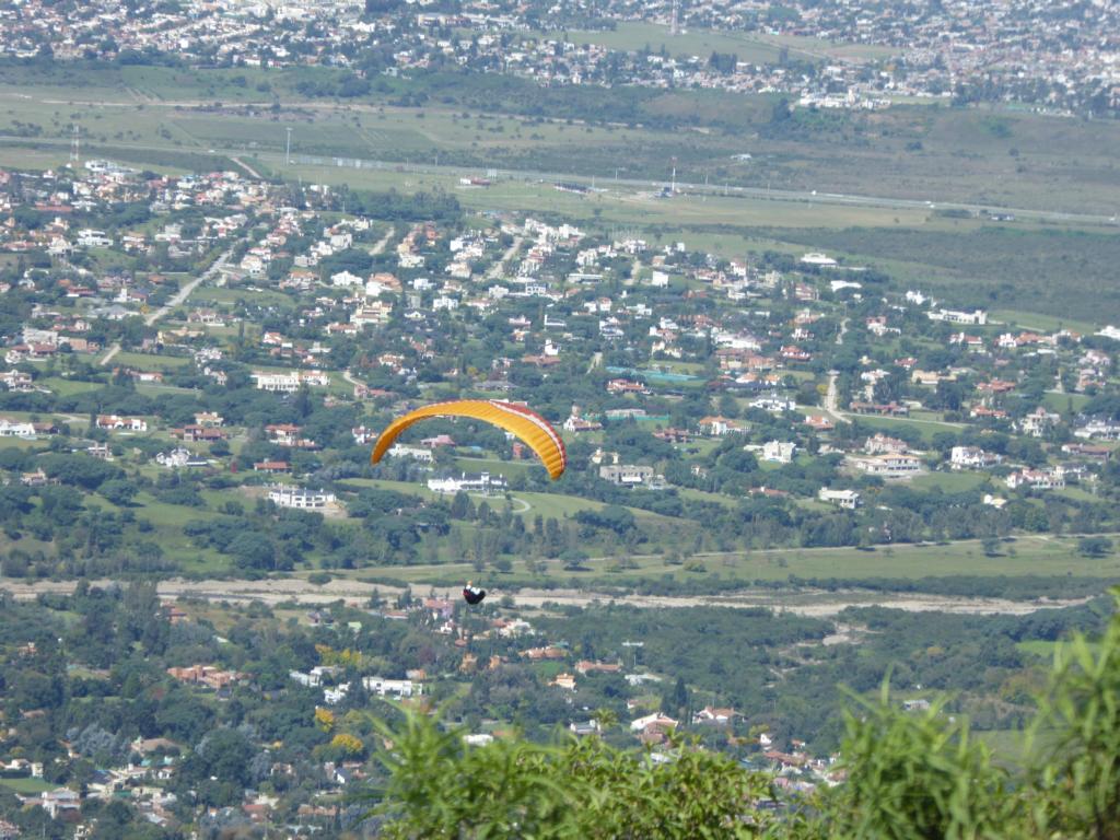
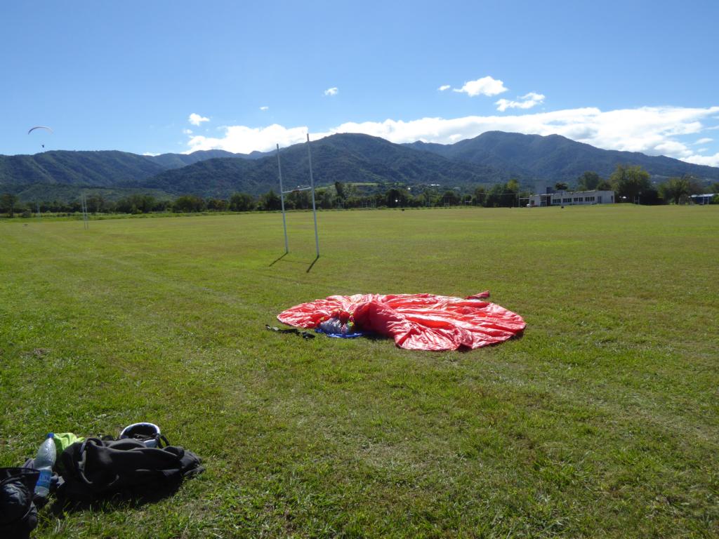
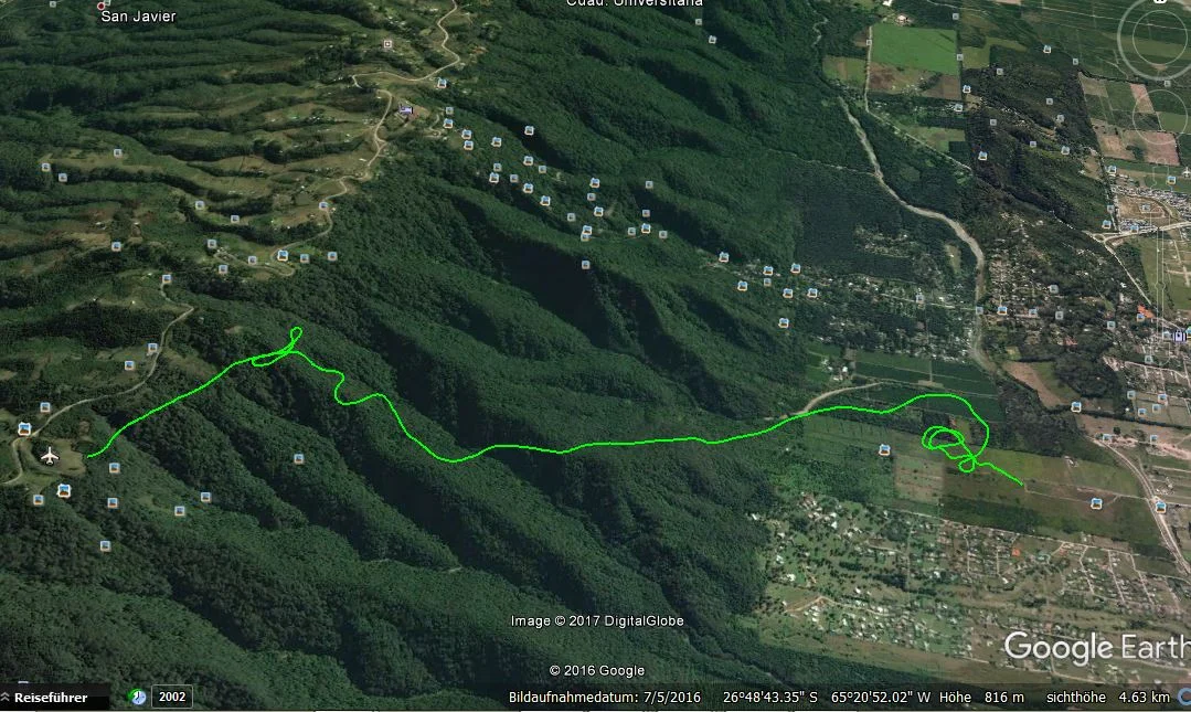
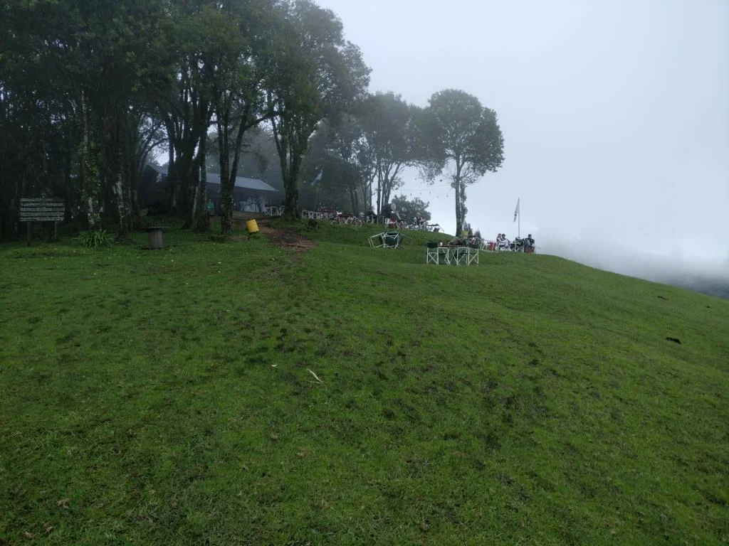
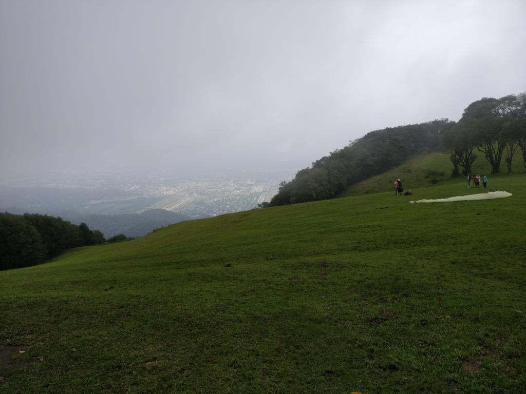
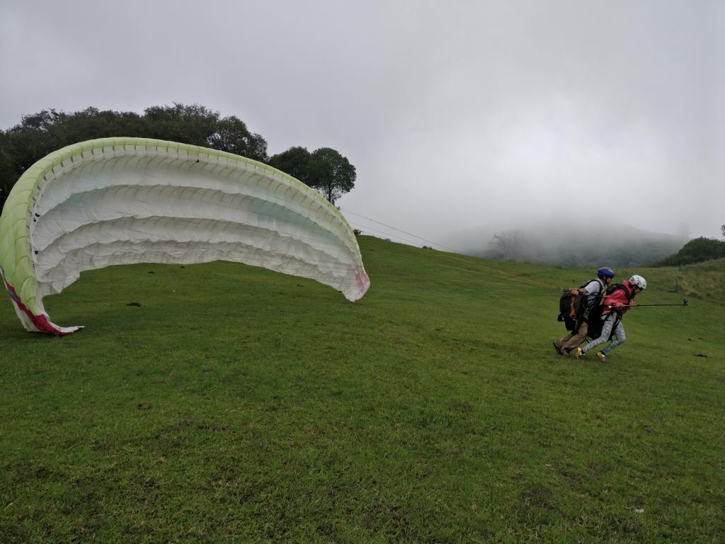
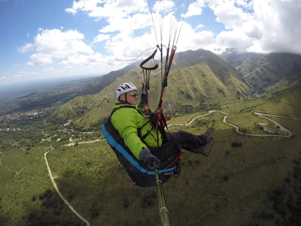
San Miguel de Tucuman: 314km south of Salta is there is a flying spot next to the city Tucuman. Take-off: S 26O 49’21.38’’, W 65O 22’05.55’’, 1340 m; landing site: S 26O 49’06.06’’, W 65O 19’37.90’’, 546. The golf-course-style take-off site is by far the nicest in Argentina and the wind normally remains weak to moderate. The landing site is a large meadow visible from the start.
102 km west of Tucuman there is another flying site near Tafi del Valle (you need to ask local pilots for details).
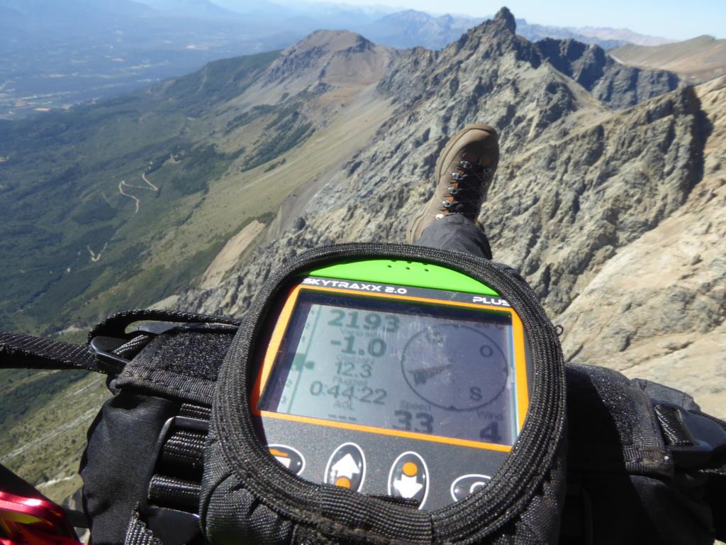
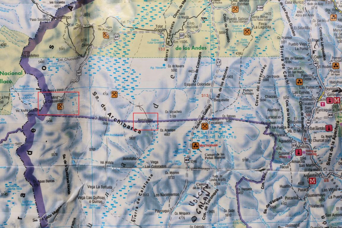
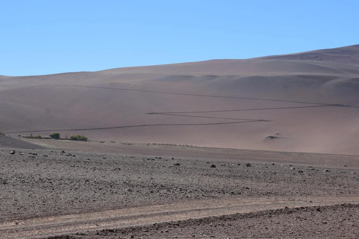
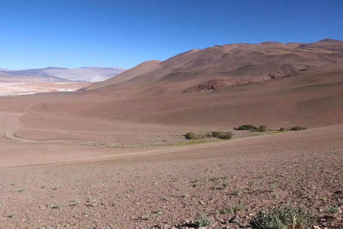
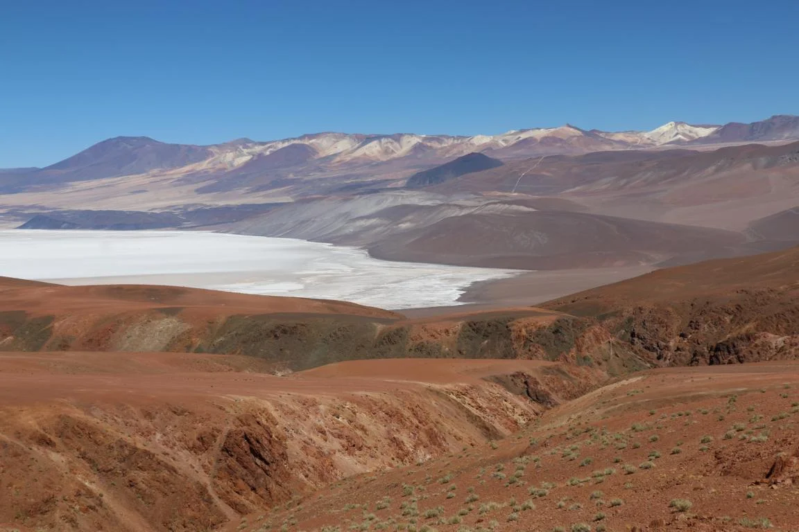
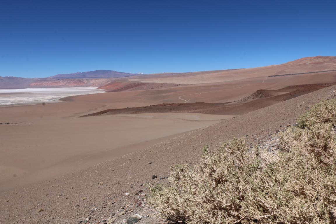
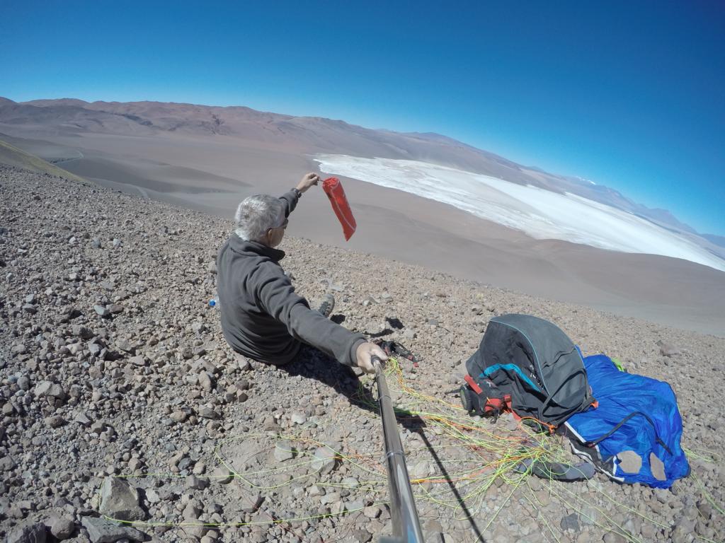
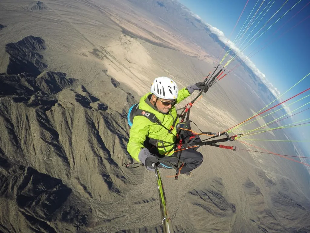
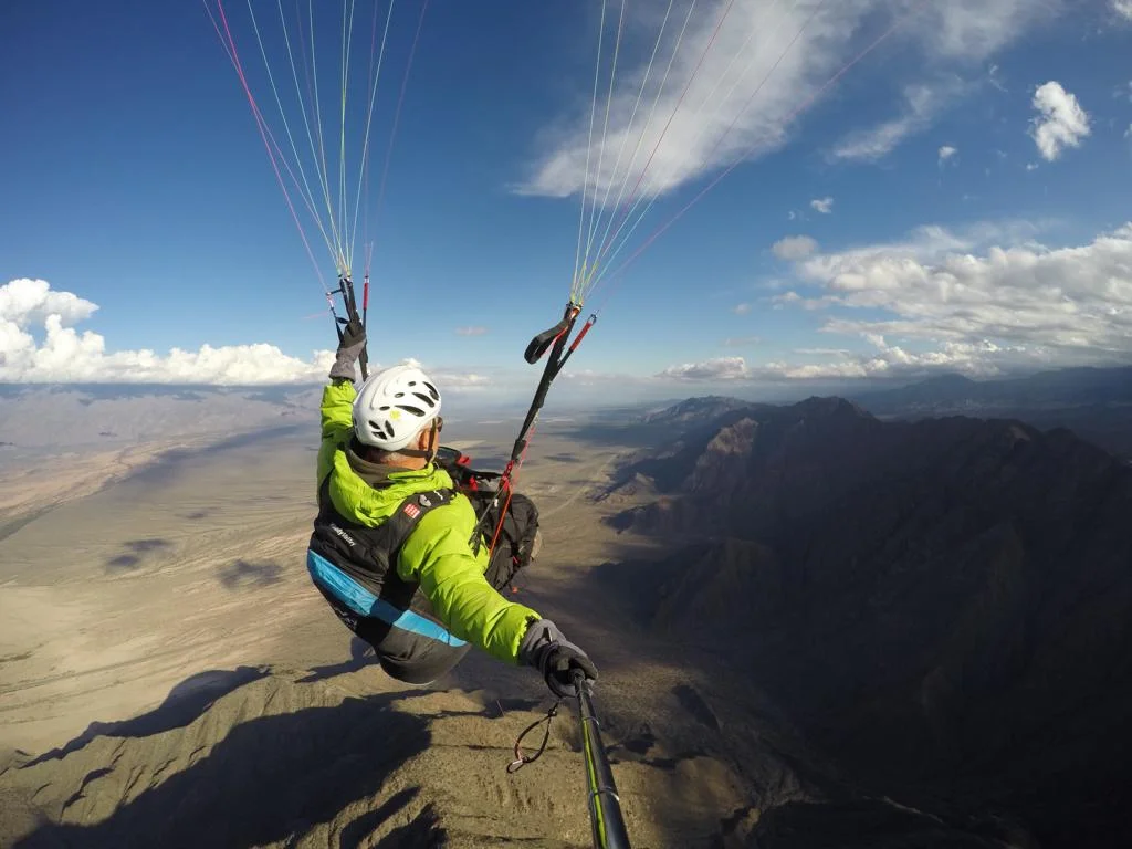
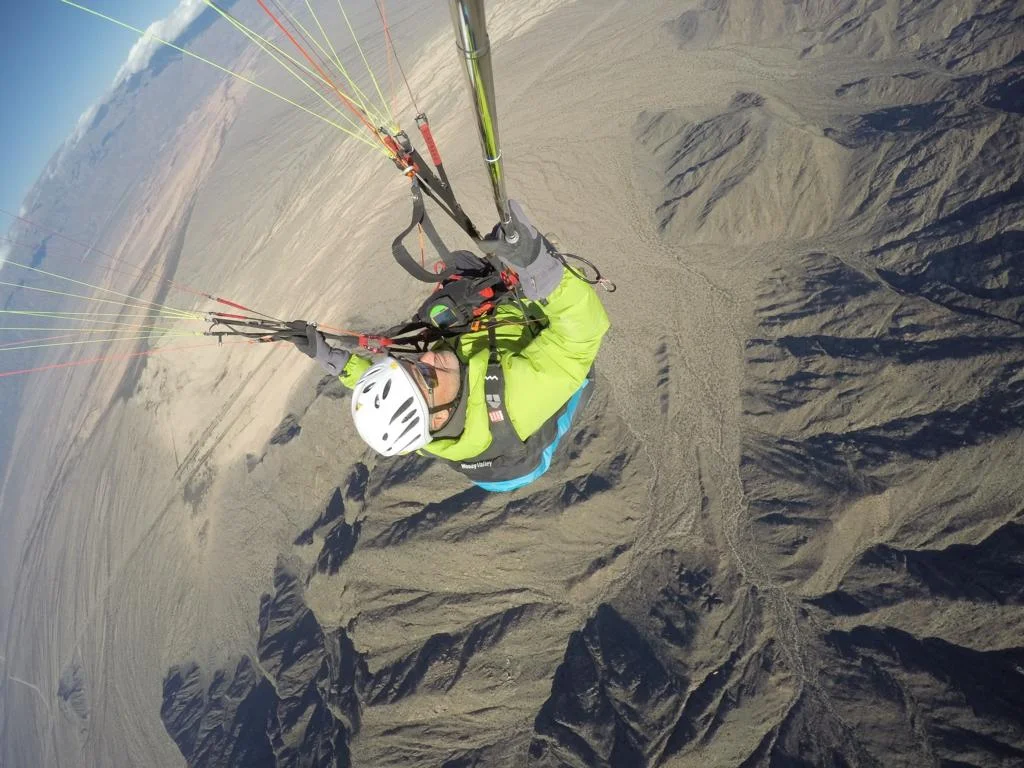
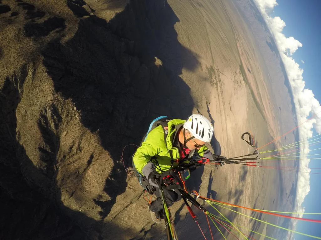
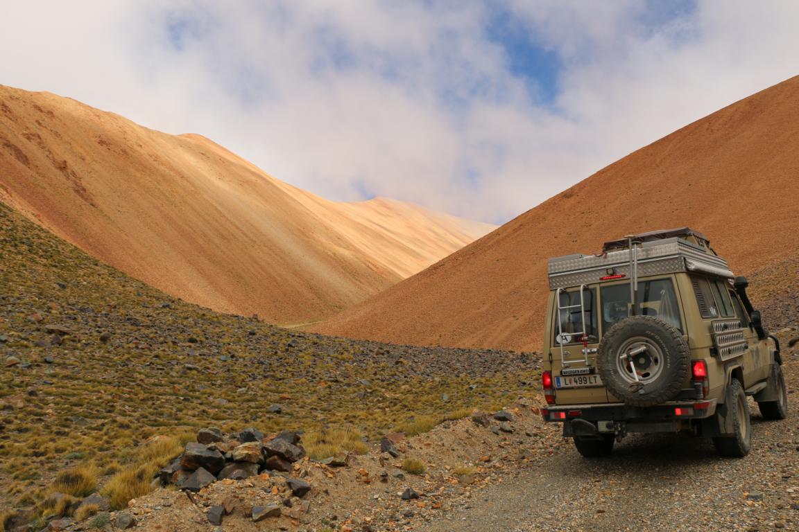
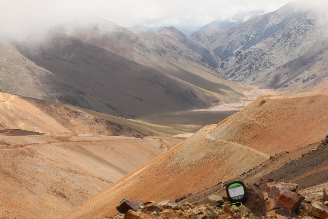
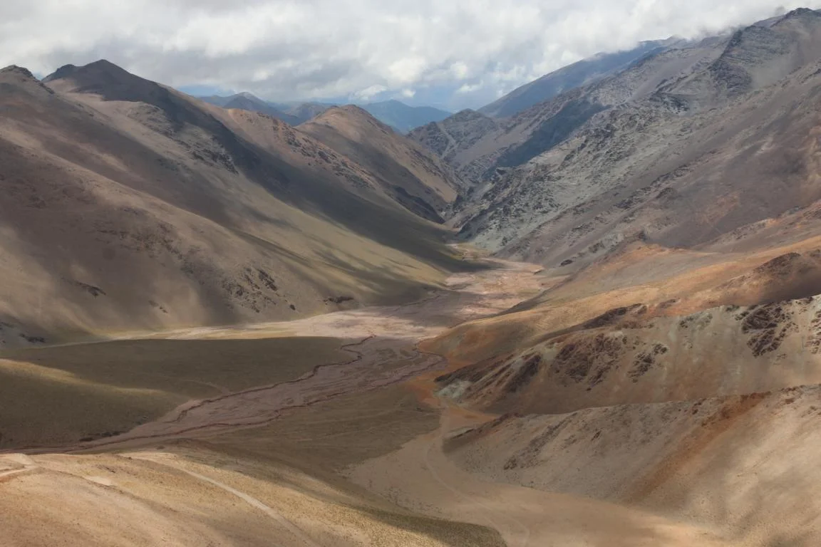
The Puna region (see more details via this link) is an inhibited area of the size of Austria close to the Chilean border with an altitude between 3,000 and 6,000 m. I have no info whether anybody ever flew there but the area near Antofaita and in the area of the Mina de Casualidad (see pics) seems flyable. I made two attempts to fly but both times the wind direction changed shortly before my take off. During the week when I was there the wind direction changed frequently and normally from mid-day there was strong wind from north/east. So fly in the morning, it is worth trying.
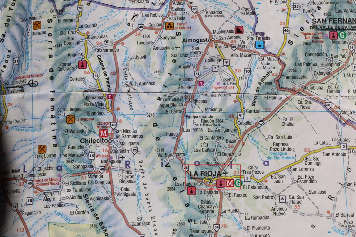
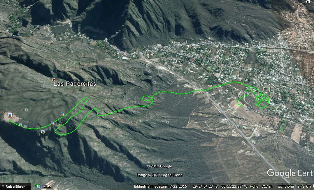
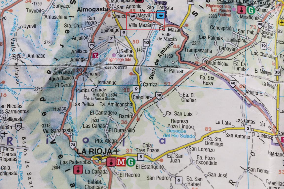
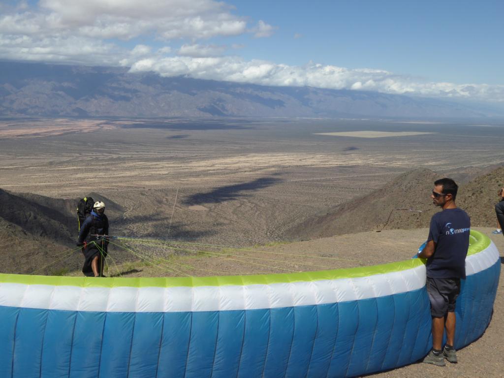
La Rioja (380 km south of Tucuman) for a long time was the gravitation center of XC-flights in Argentina. Take-off: S 29O 25’18.15’’, W 66O 56’05.35’’, 1179 m; landing site: S 29O 24’57.86’’, W 66O 54’51.61’’, 621 m. The Paragliding school Aguila Blanca https://www.az-az.hu-hu.fbjs.facebook.com/complejoaguilablanca ) - located near the landing site - provides a shuttle service and accommodation.
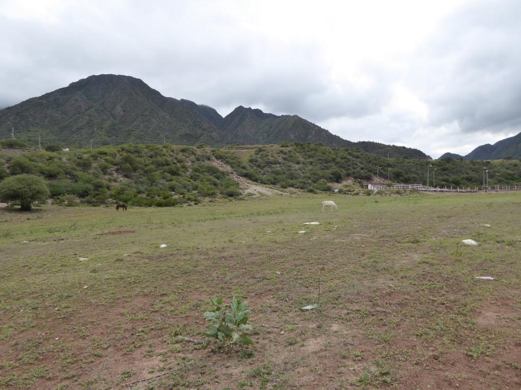
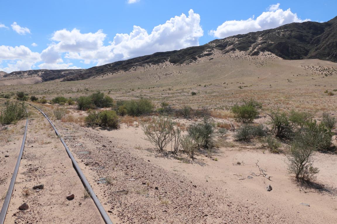
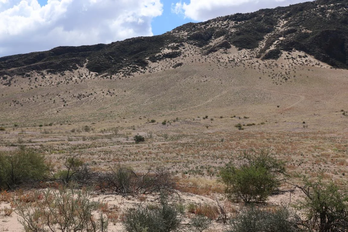
Some 100 km north of La Rioja there are sand dunes close to Villa Mazan. When the wind is strong enough (wasn’t the case when I was there) the site offers dynamic flights.
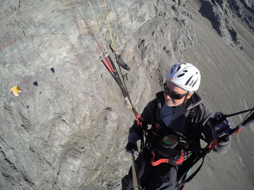
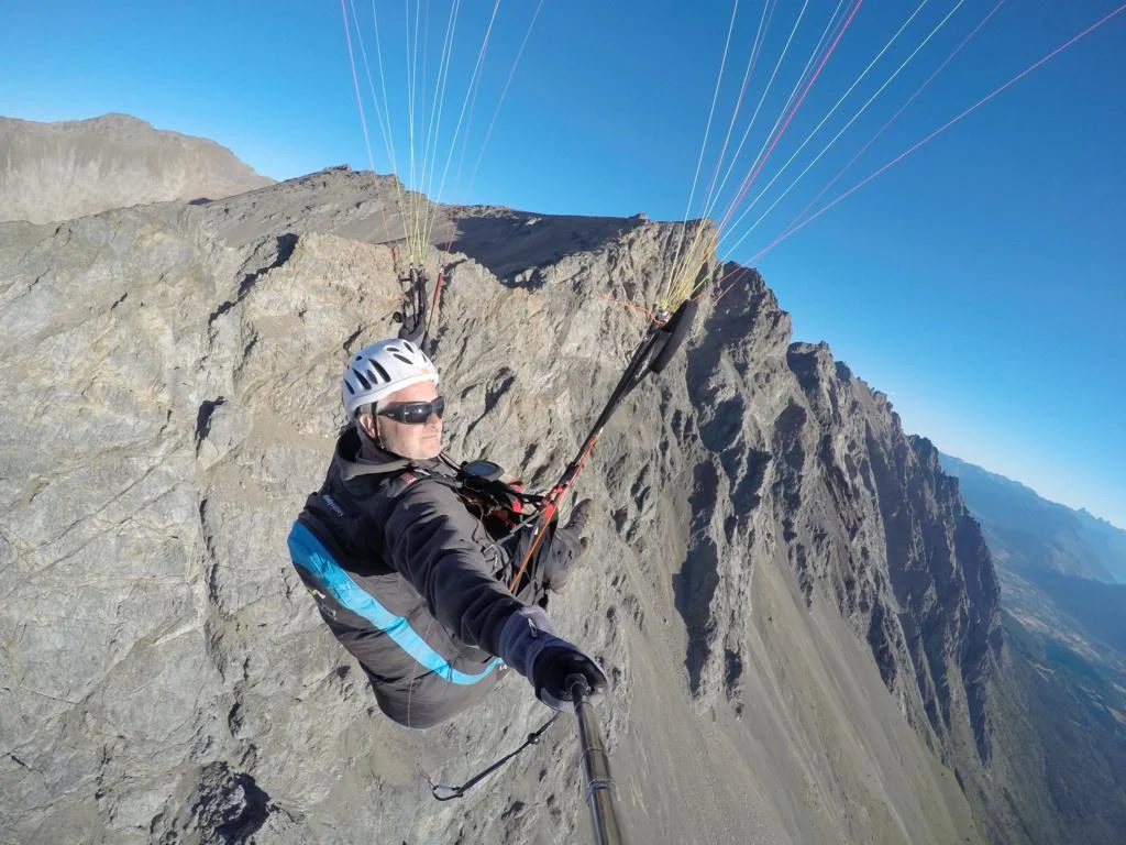
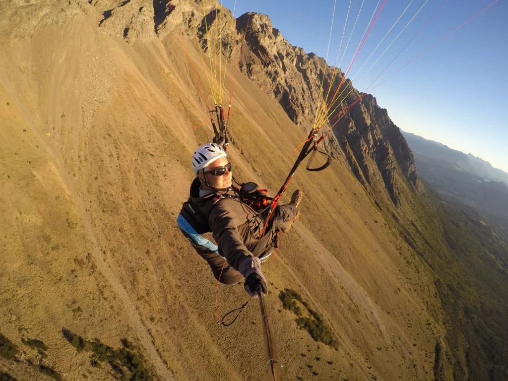
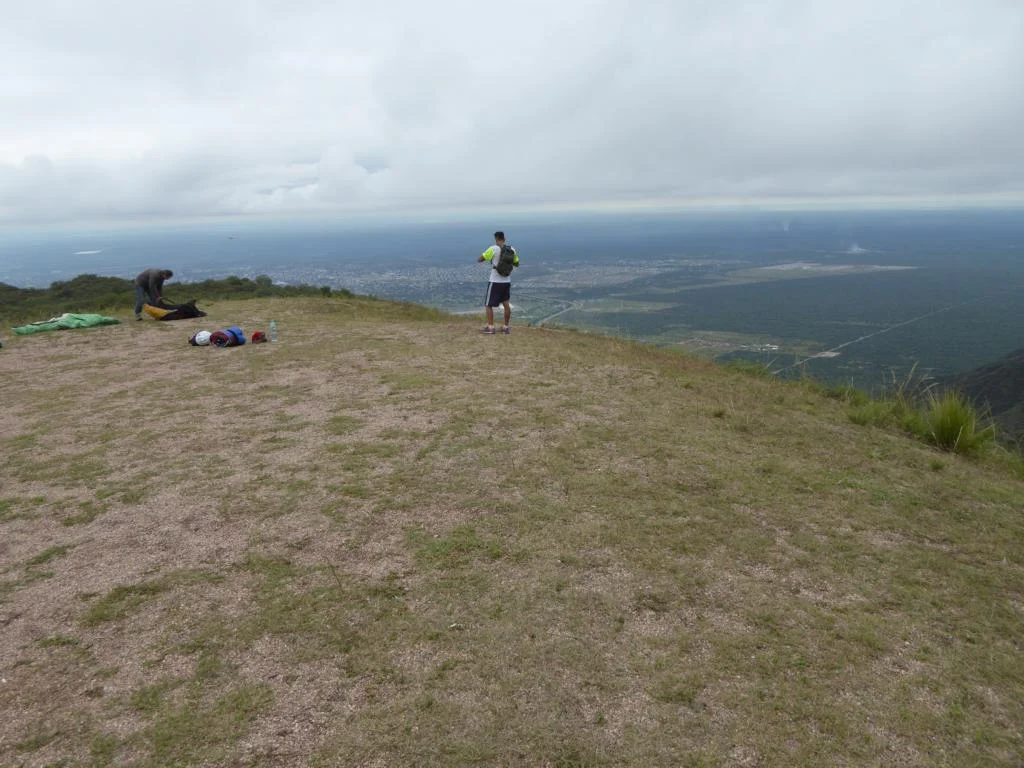
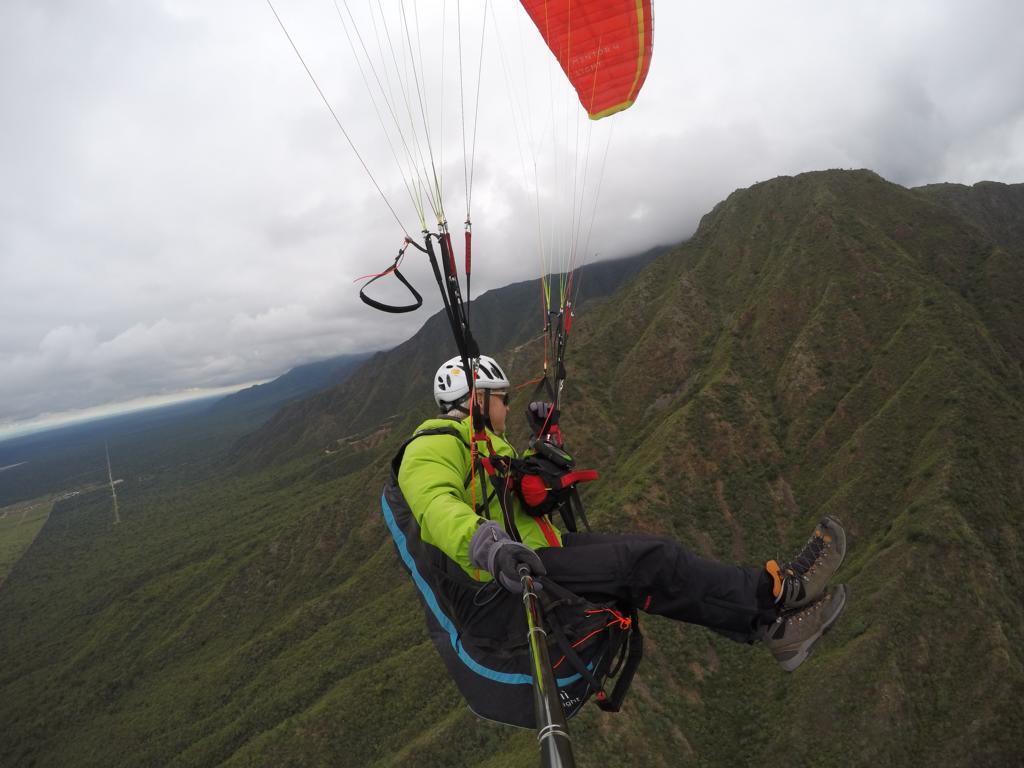
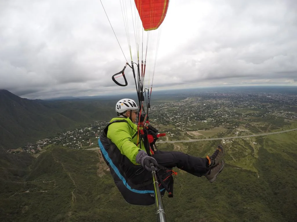
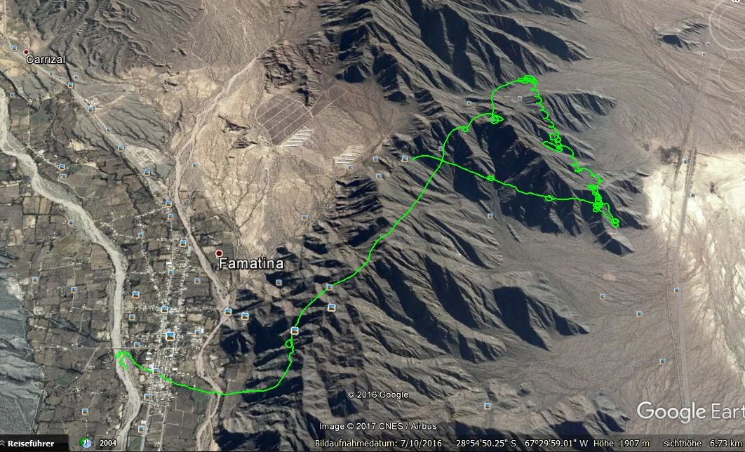
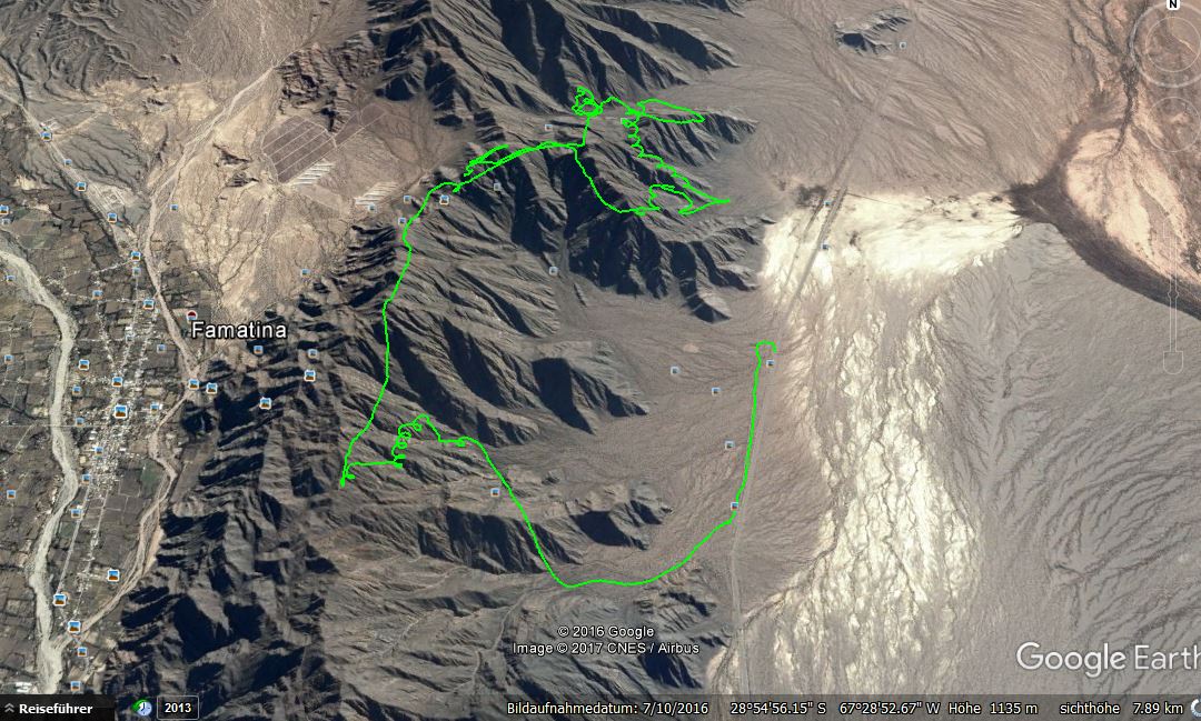
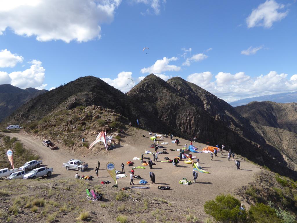
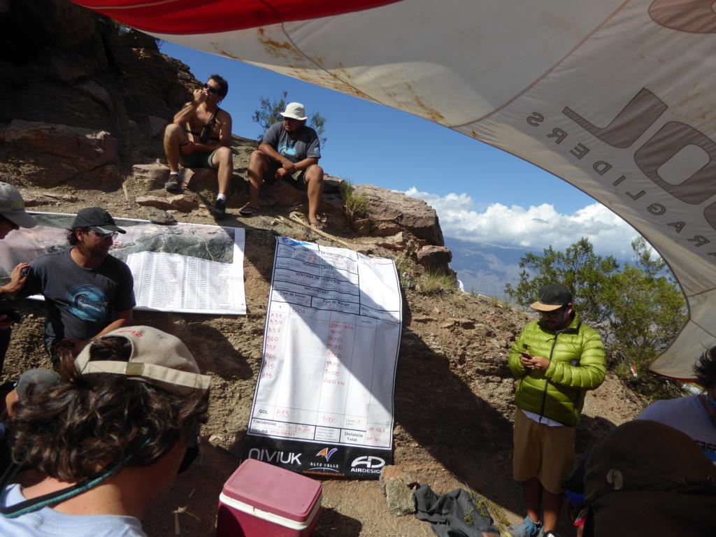
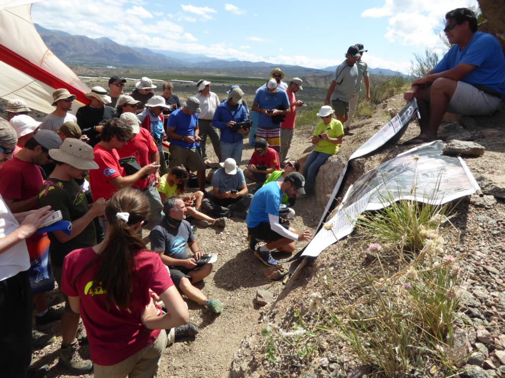
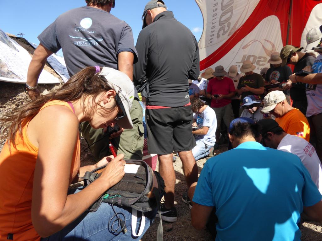
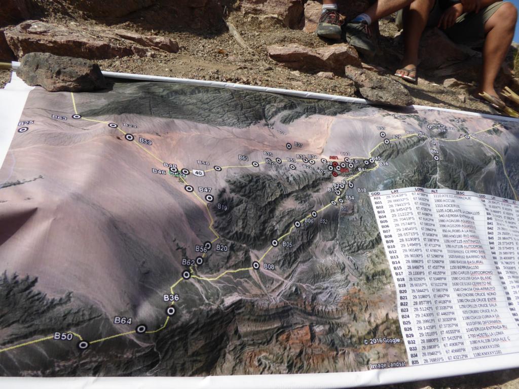
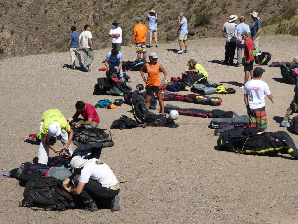
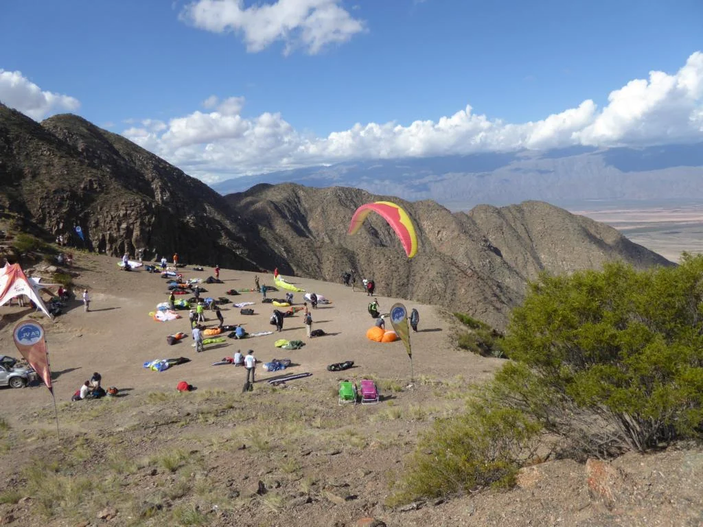
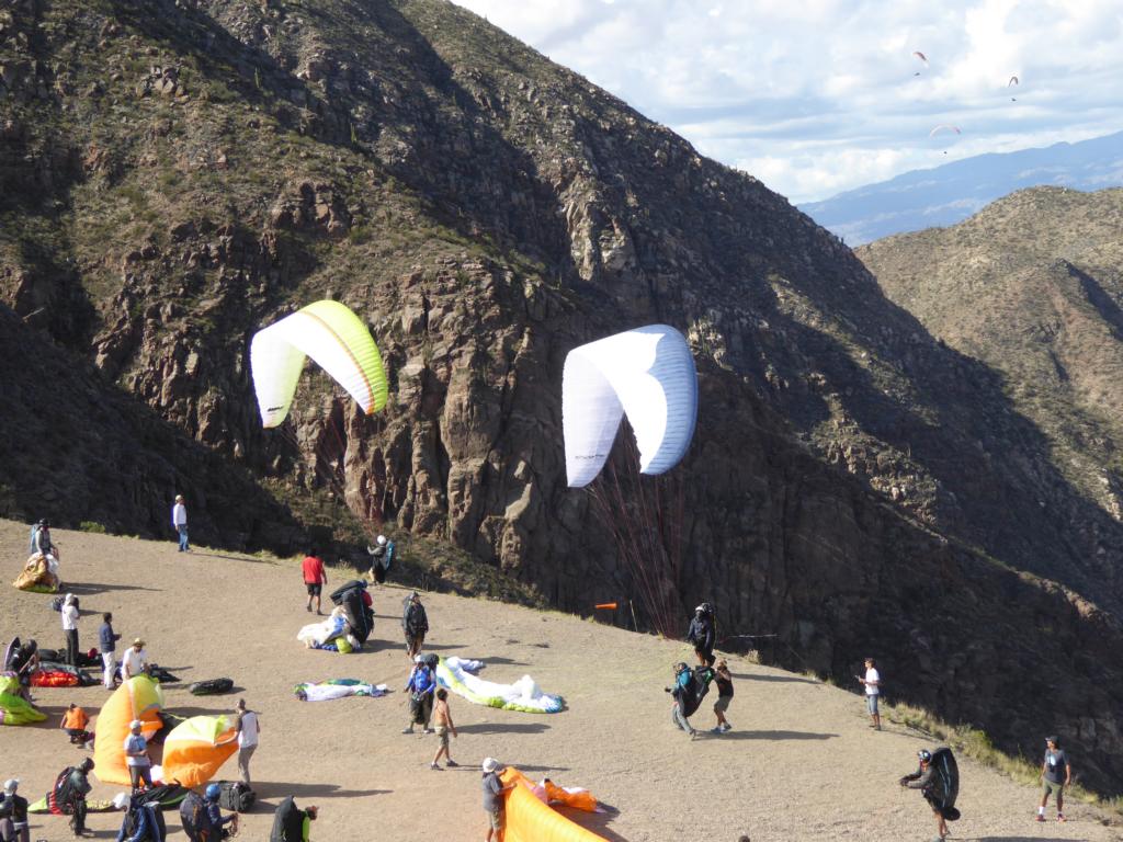
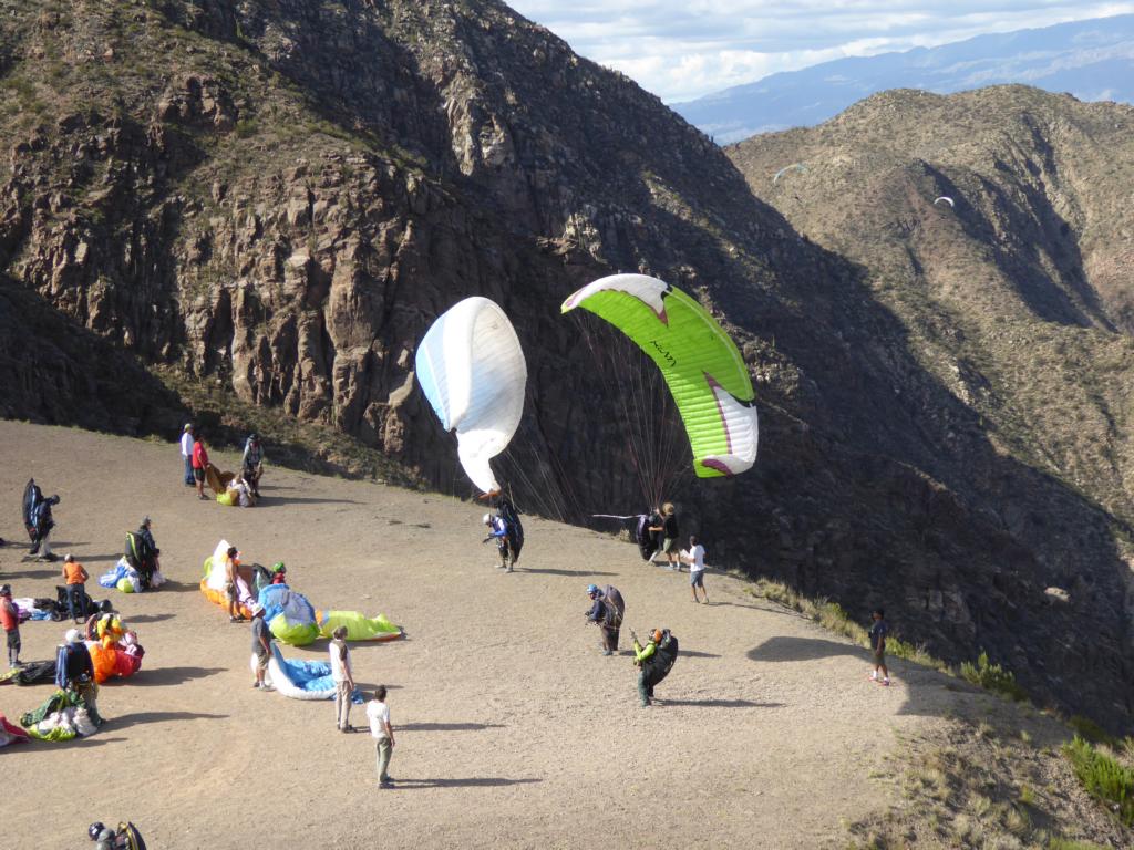
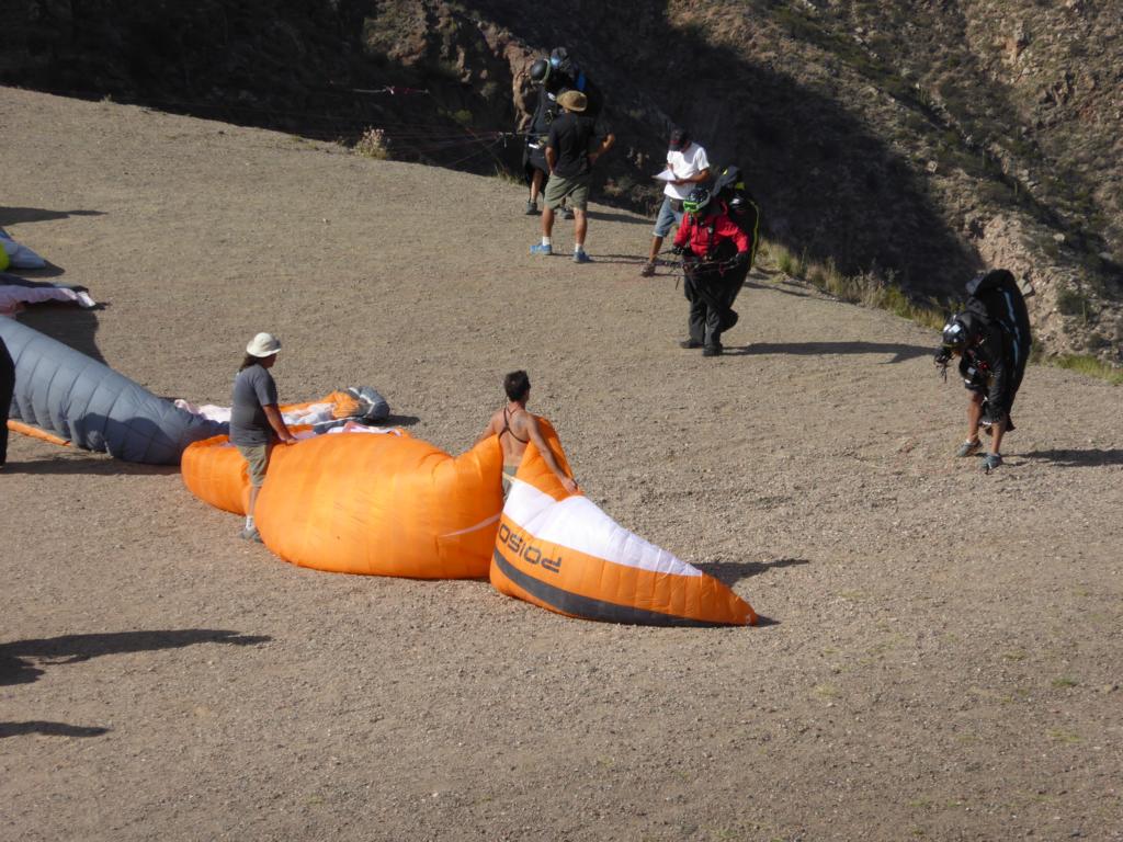
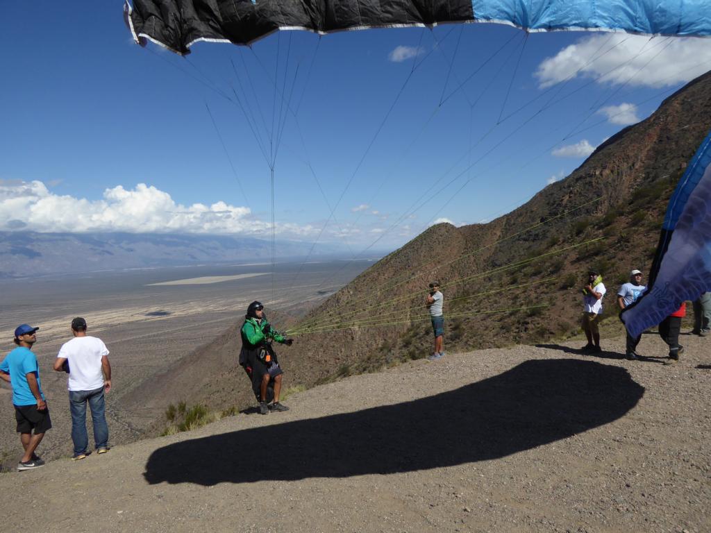
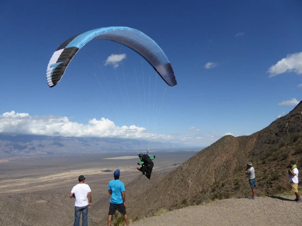
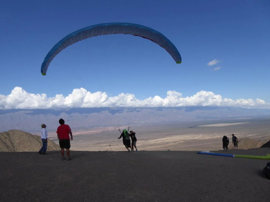
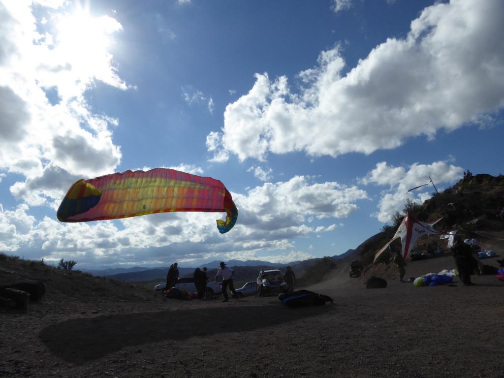
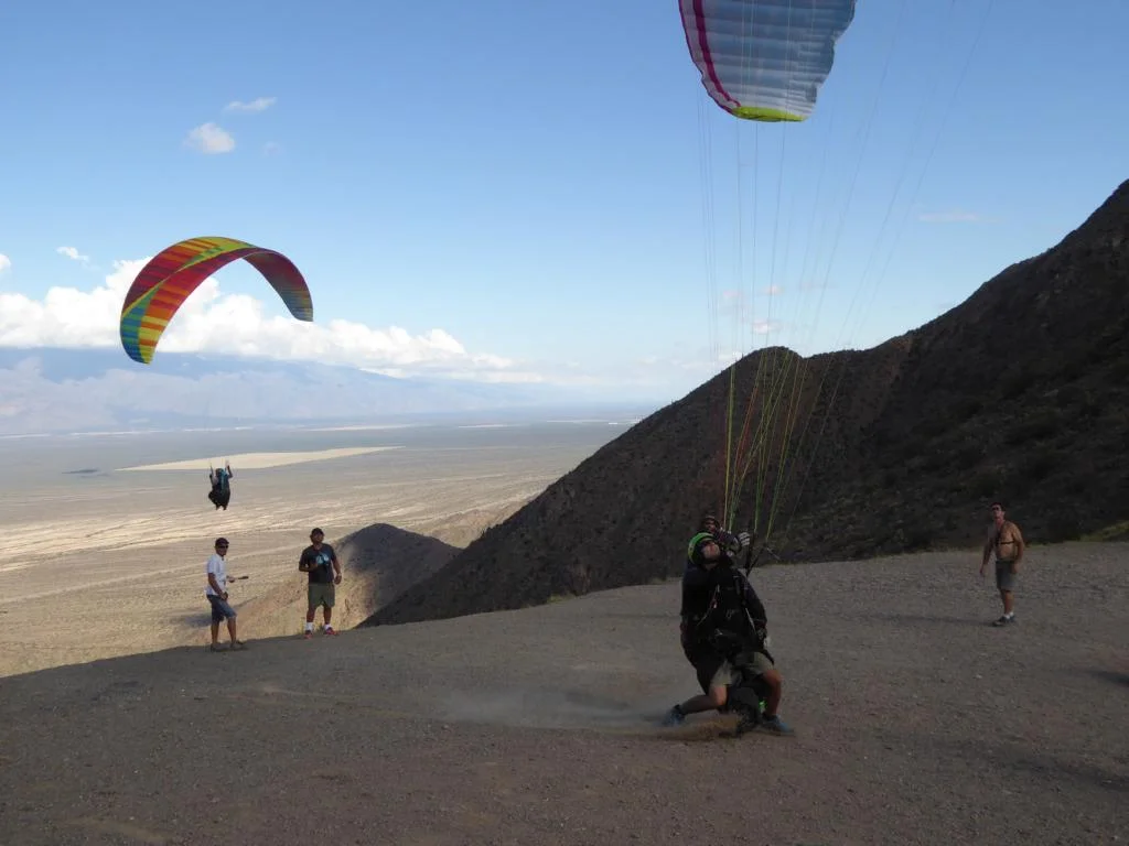
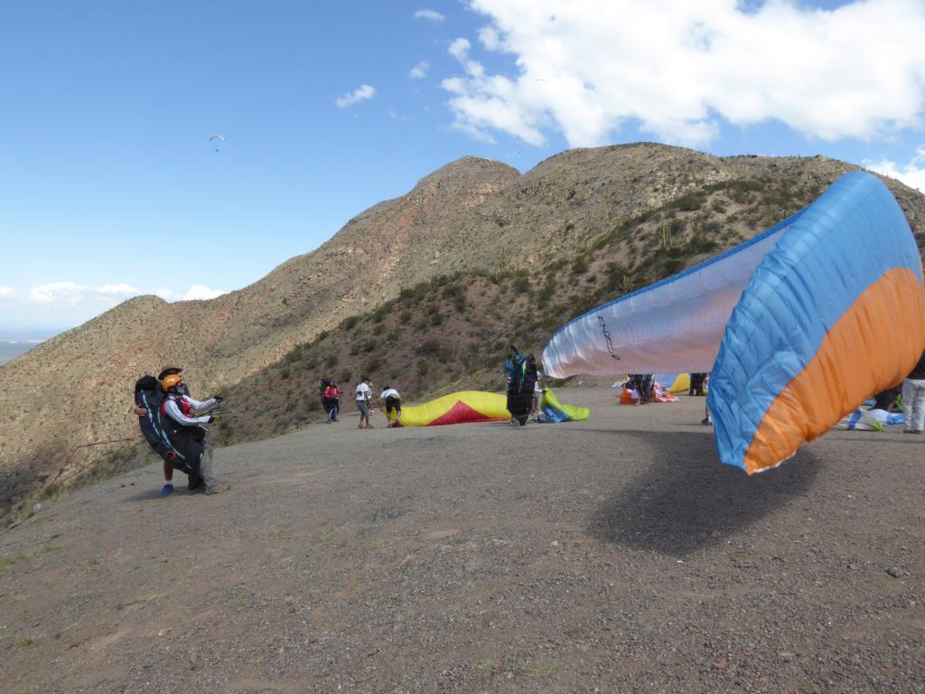
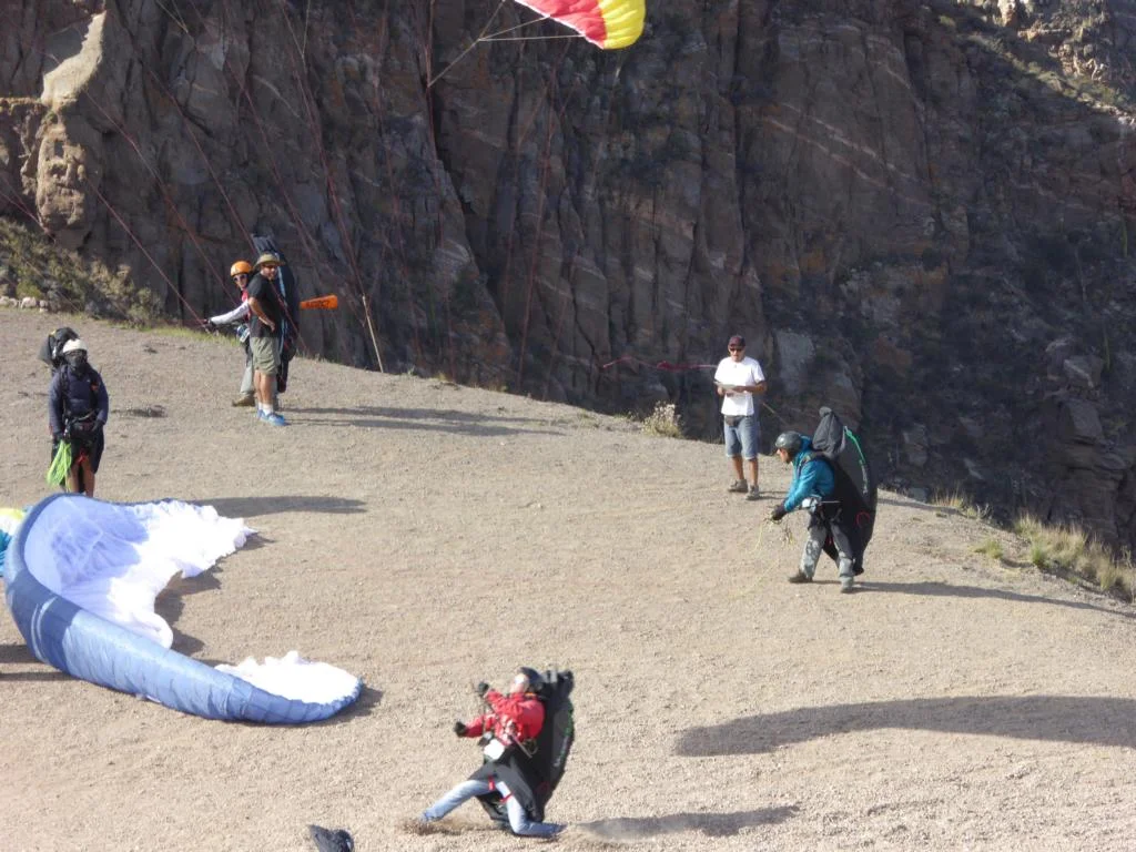
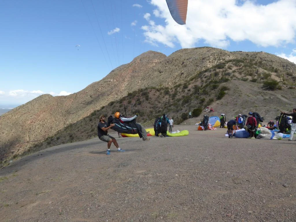
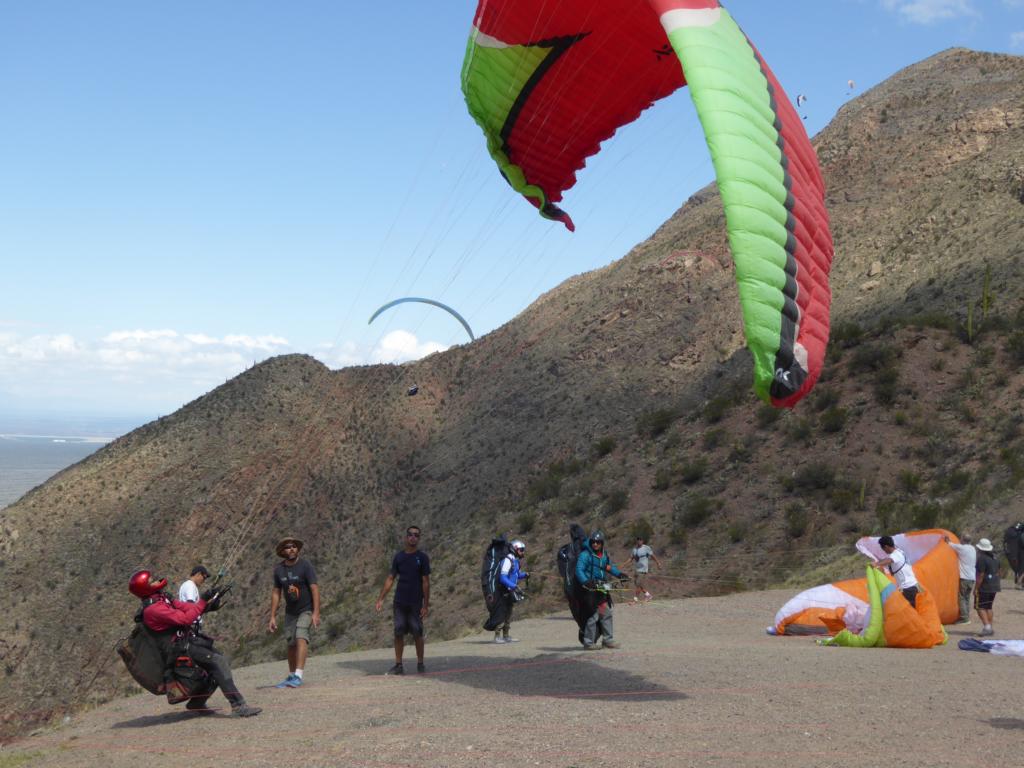
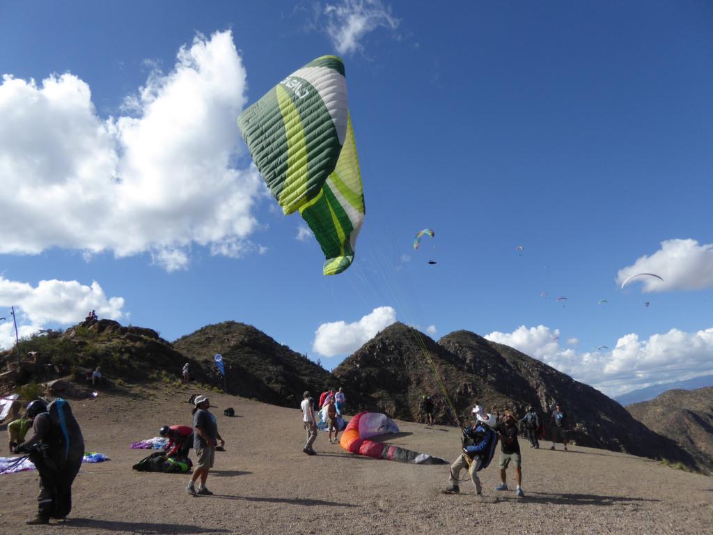
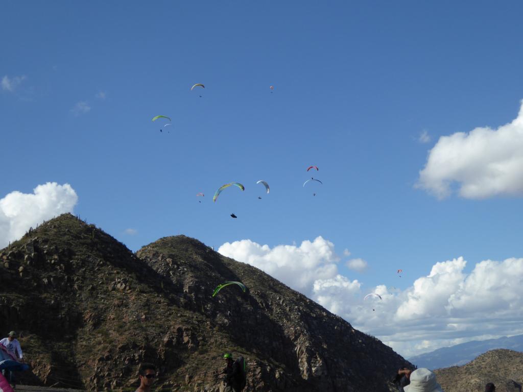
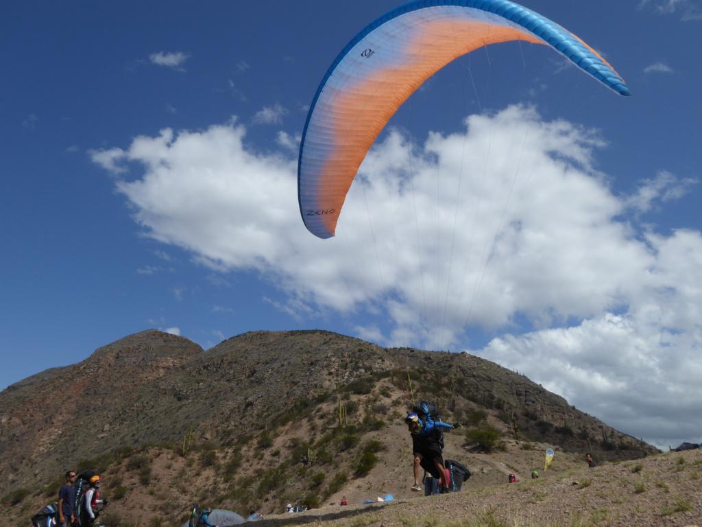
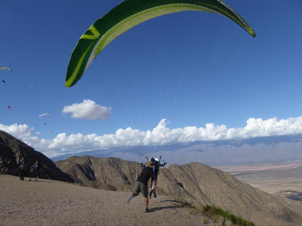
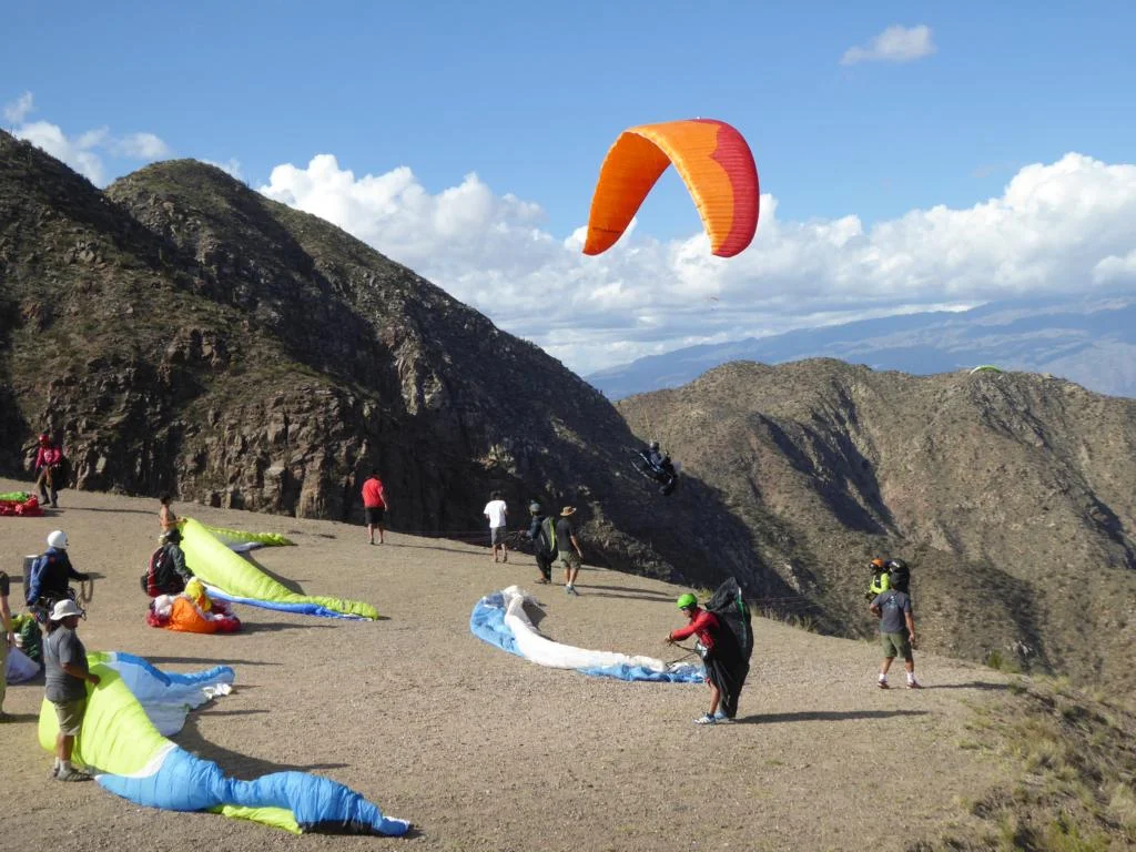
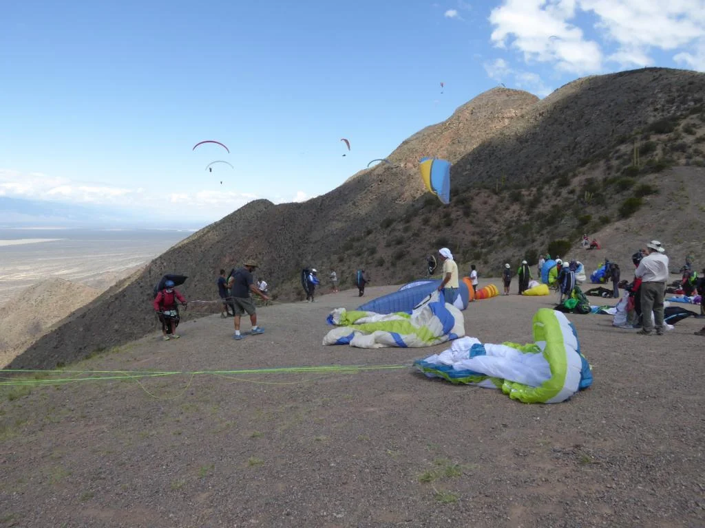
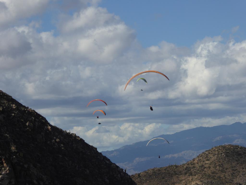
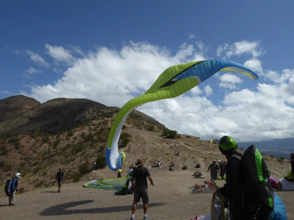
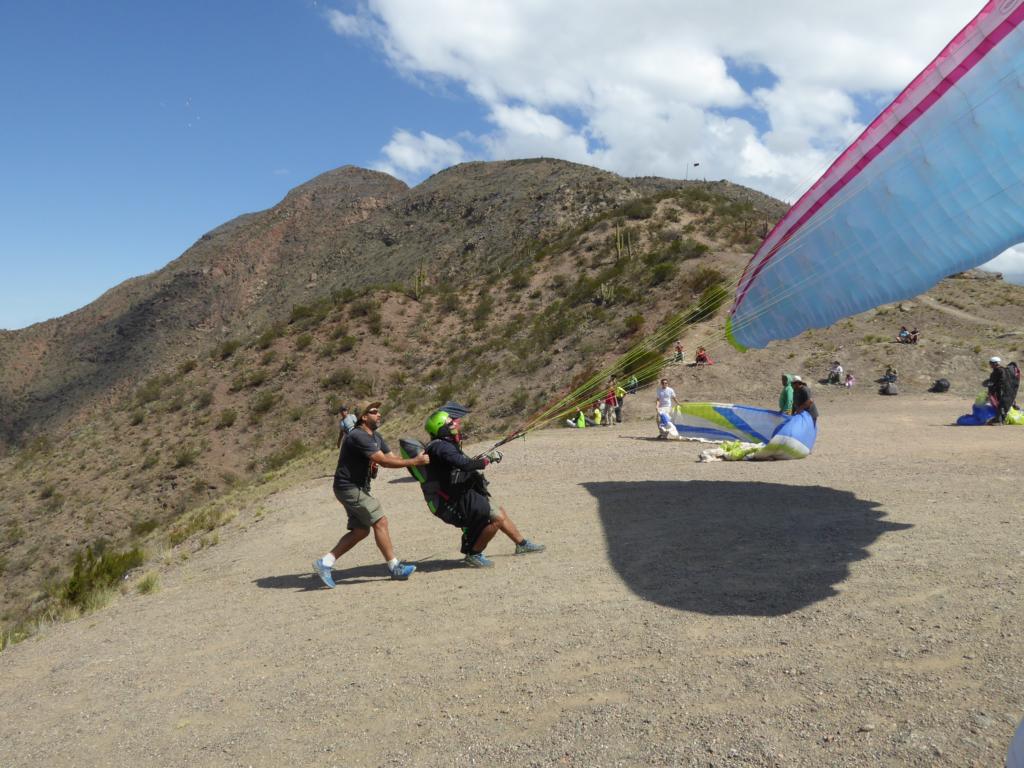
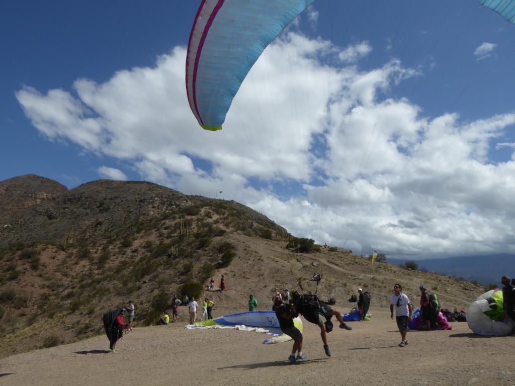
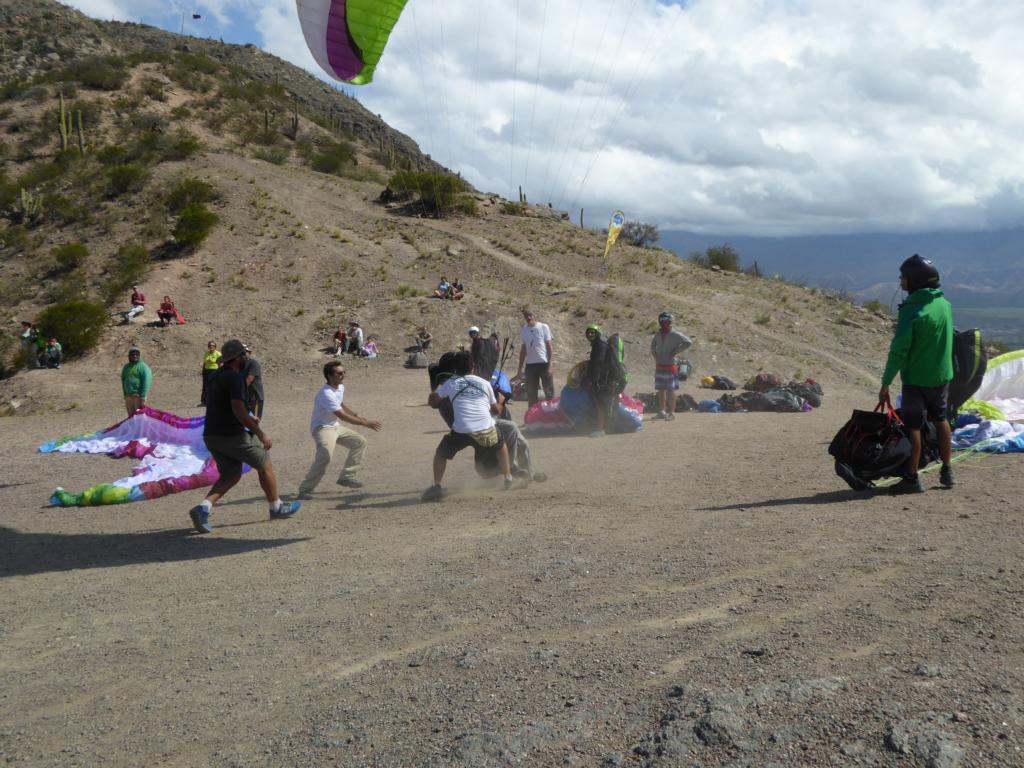
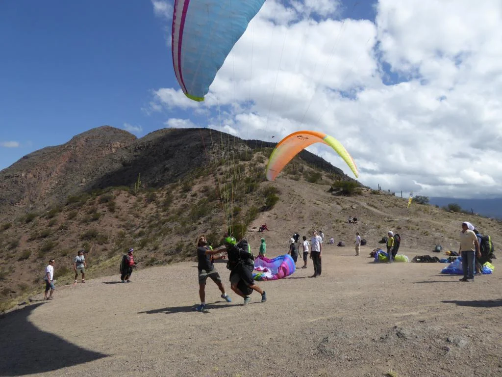
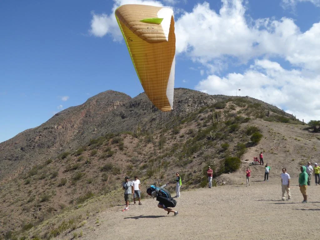
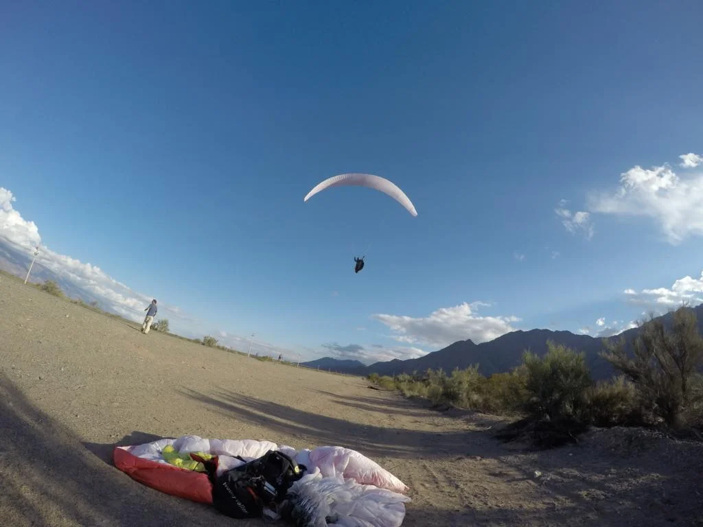
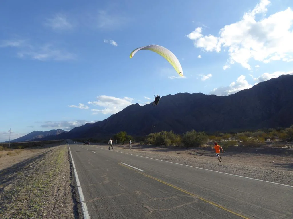
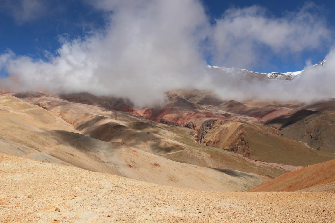
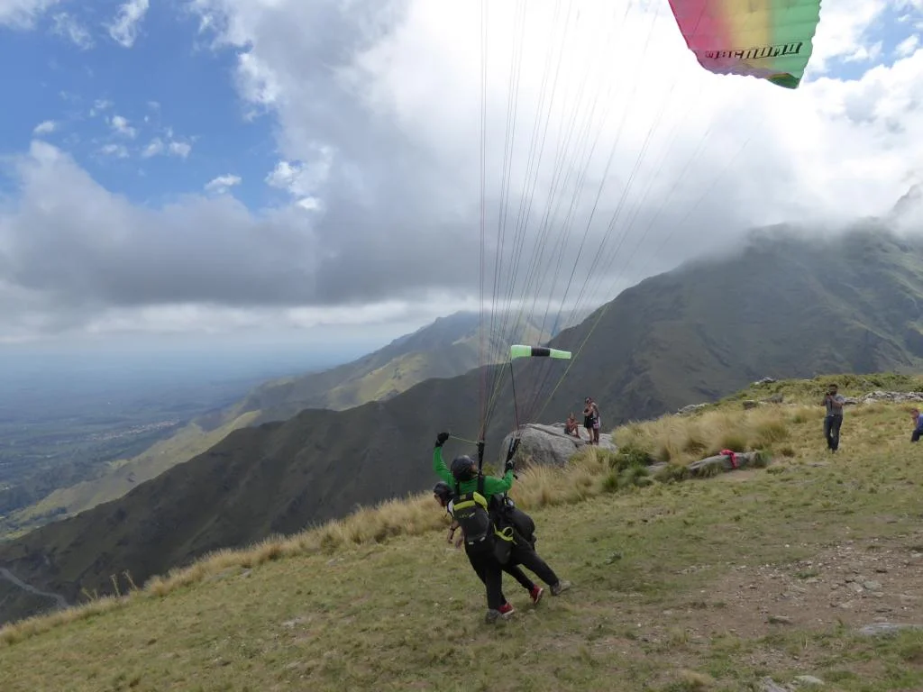
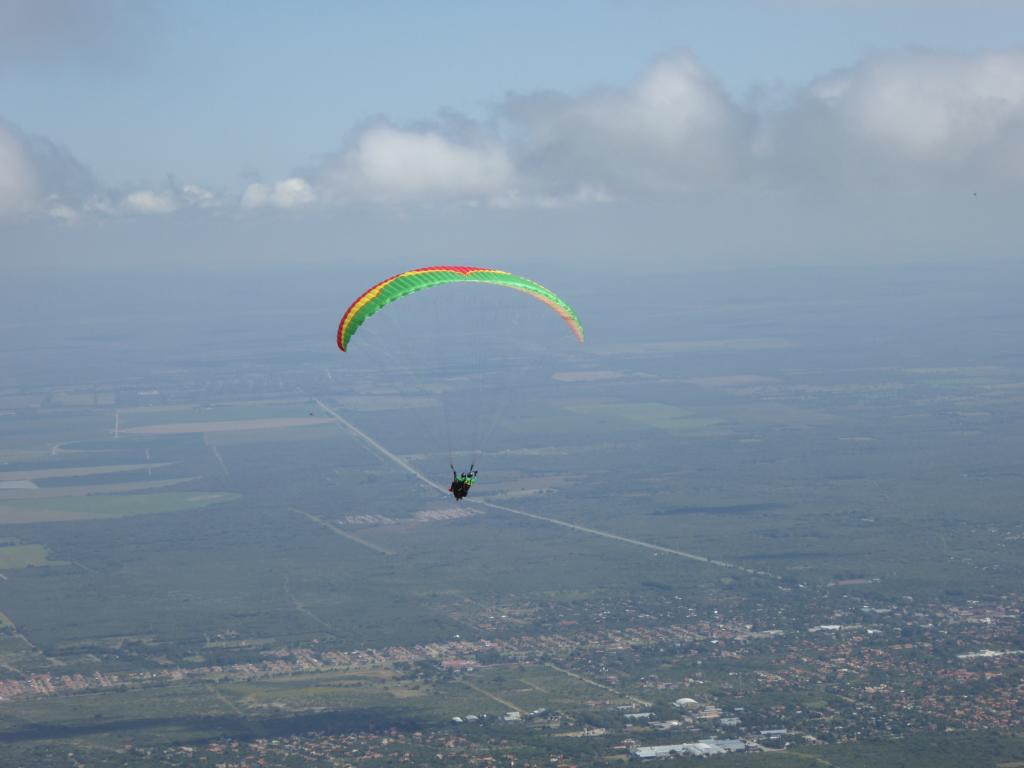
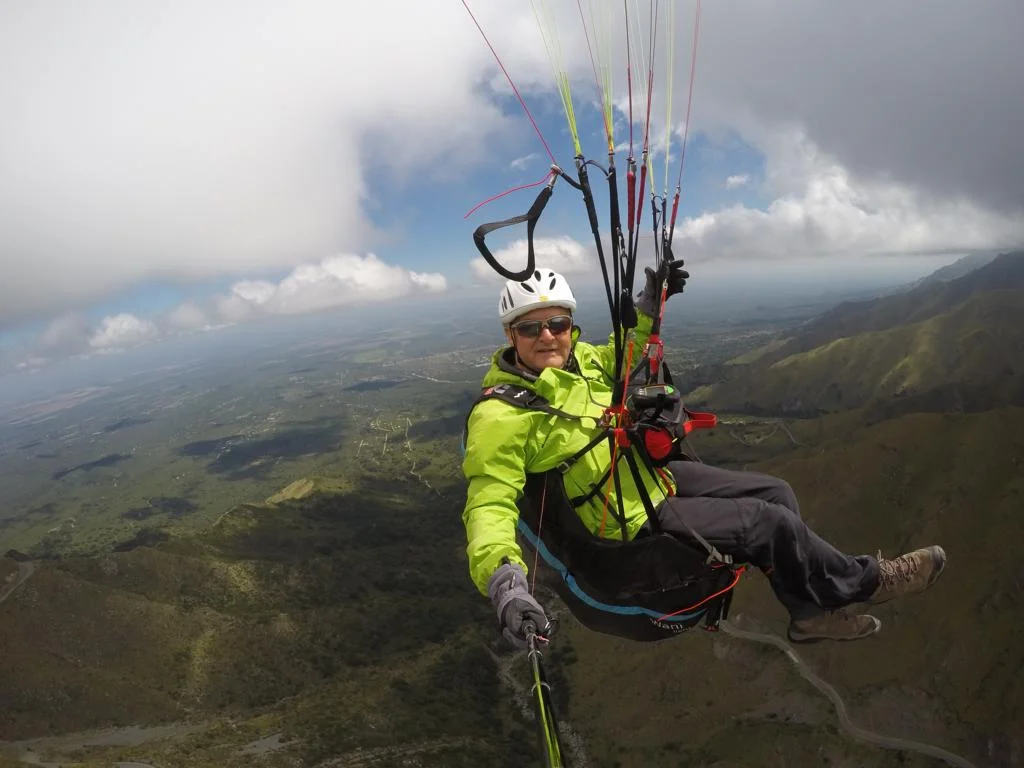
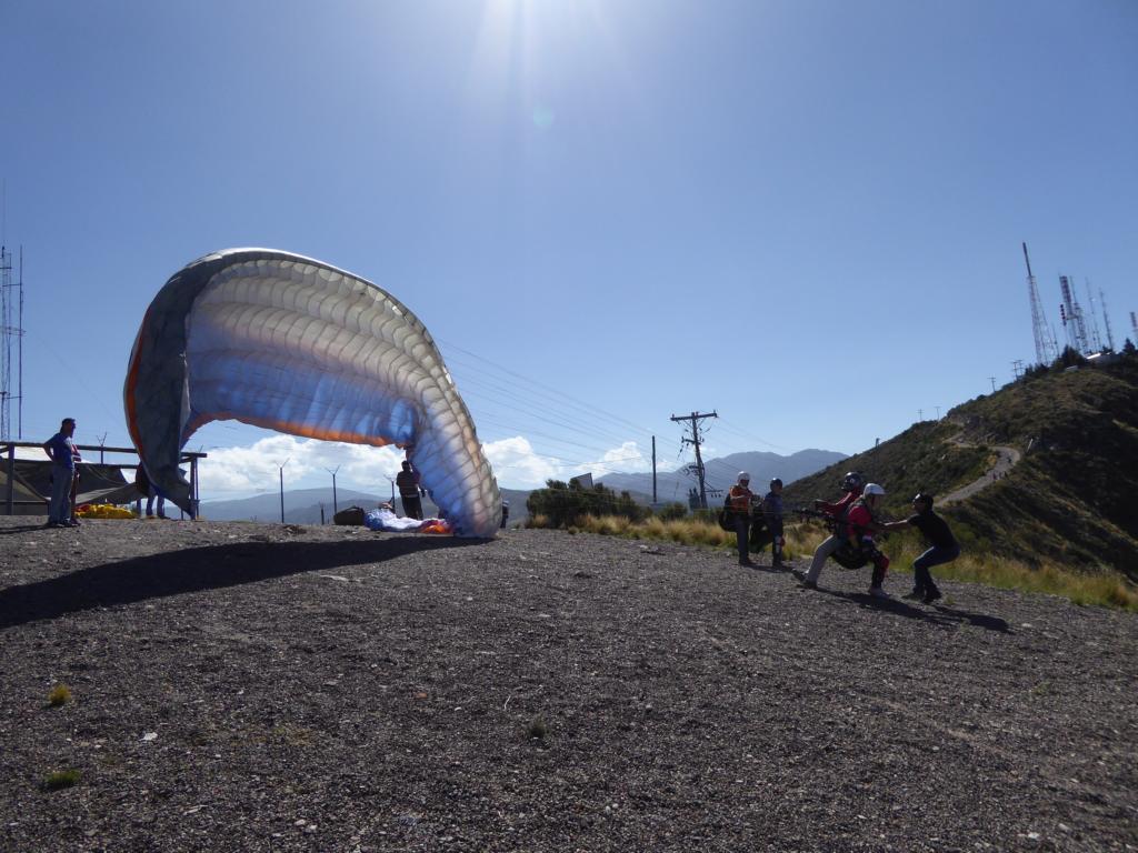
Famatina: The small town of Famatina was the place of the 2017 Argentinean paragliding championship. The site is located 233 km west of La Rioja. Take-off: S 28O 53’46.74’’, W 67O 29’28.59’’, 1727 m. There are two landing site: the main landing site is east of the take-off at Ruta 40: S 28O 54’55.05’’, W 67O 27’58.81’’, 1064 m; alternatively one can land in a dry river bed next to Famatina: S 28O 55’41.69’’, W 67O 31’21.66’’, 1552 m. Between 13.00 and 17.00 the wind at the start (normally coming from the east) and on the landing site is quite strong (25 km or more) as there is some kind of Venturi-effect at the start. However, the wind quickly gets weaker once the sun does not heat up the valley in front of the start anymore. Famatina offers great XC-flights along the north-south Cadena de Paiman ridge. The official landing site is the small clearing visible from the start but pilots normally land at the Ruta 40 which has hardly any traffic. In case you are high enough to cross the ridge you also can land west of the town Famatina in a dry riverbed.
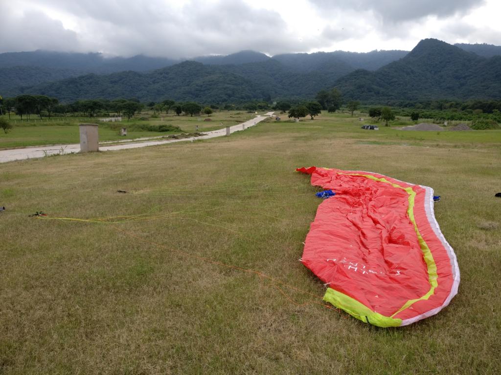
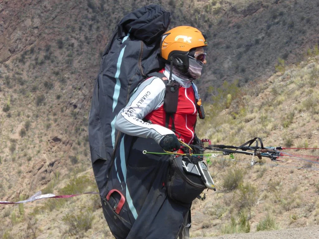
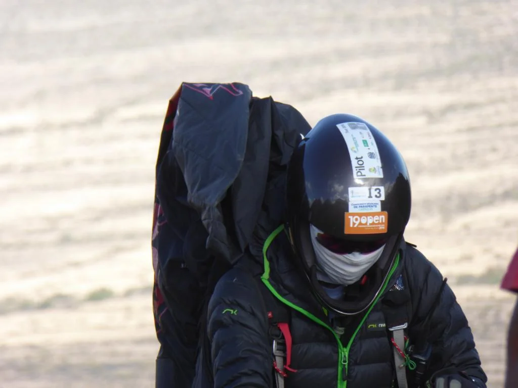
I share a few pics from the 2017 championship. As you will see, the strong wind produced some drama at the start and “separated the men from the boys” (me being among the boys).
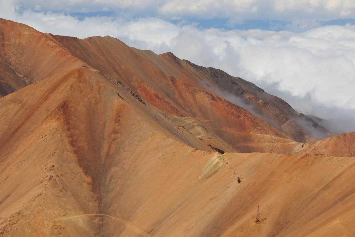
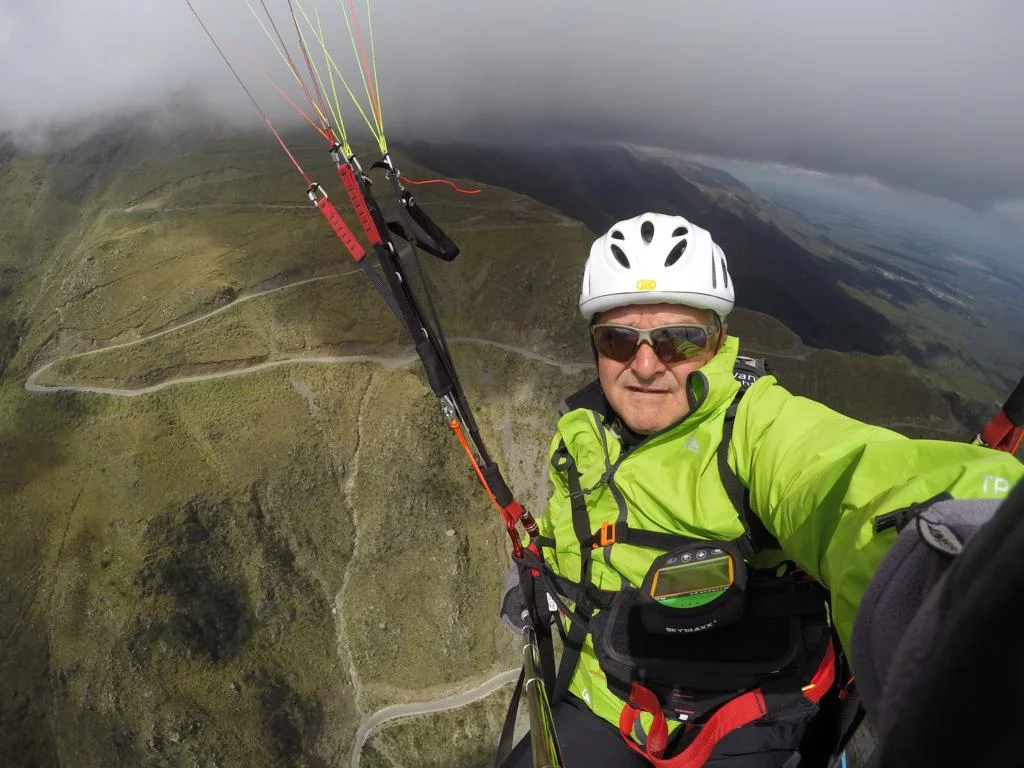
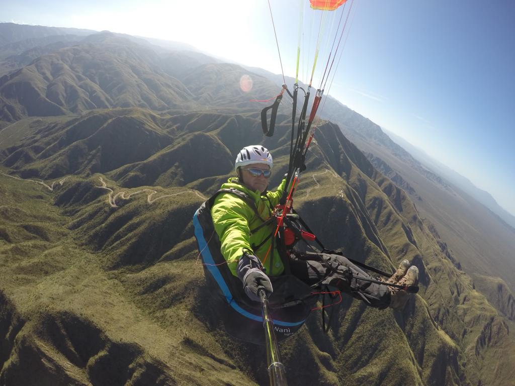
Mina Mexicana: Close to Famatina there is the Mina Mexicana, an abandoned goldmine at 4,550 to 4,900 m, which offers an exceptional flight experience with a difference of altitude of some 3,300 m. A local guide (Raul Salomon, +54 3825 1543 5101) told me that he several times brought pilots to a take-off site at 4,400 m to fly from the Mina Mexicana to Chilecito. It is recommenced to fly early in the morning (leave Famatina before 06.00 and start at around 08.00) before the wind gets to strong. Pre-condition is that there are no clouds as you will need to fly between two mountains (check the local pilots for more detailed info). The last picture shows the presumed take-off site next to the old lift. Access is by 4x4 car and a short walk.
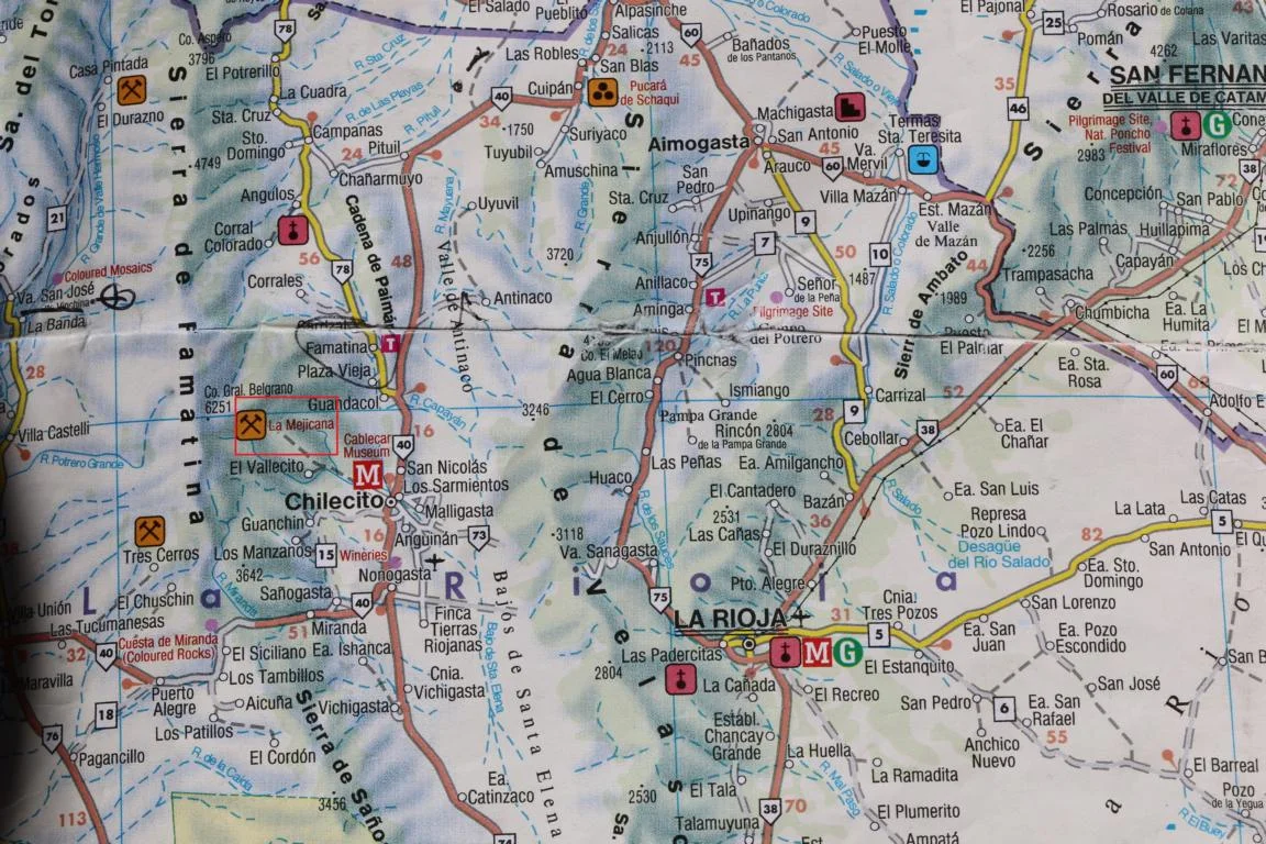
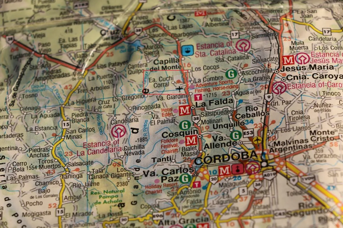
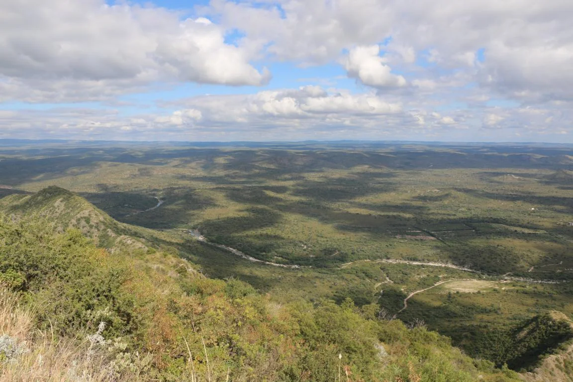
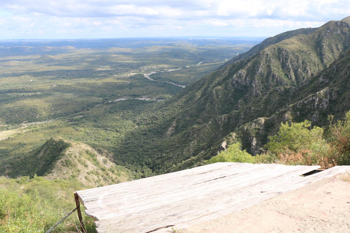
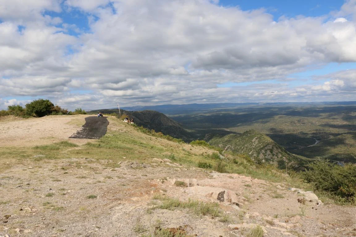
Cuchi Corral (370 km south of La Rioja) is a popular flying site 70 km north of Cordoba. When I was there unfortunately the cross wind impeded flying.
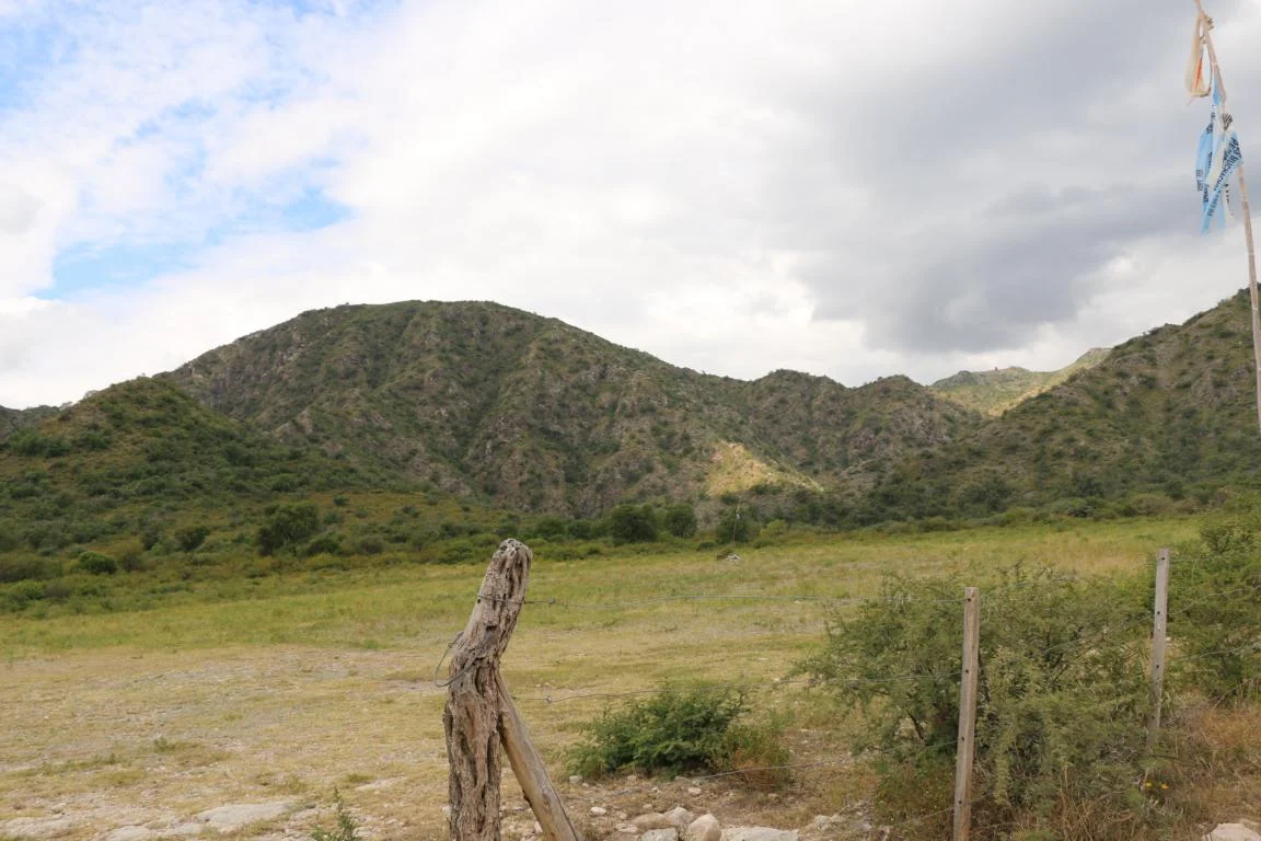
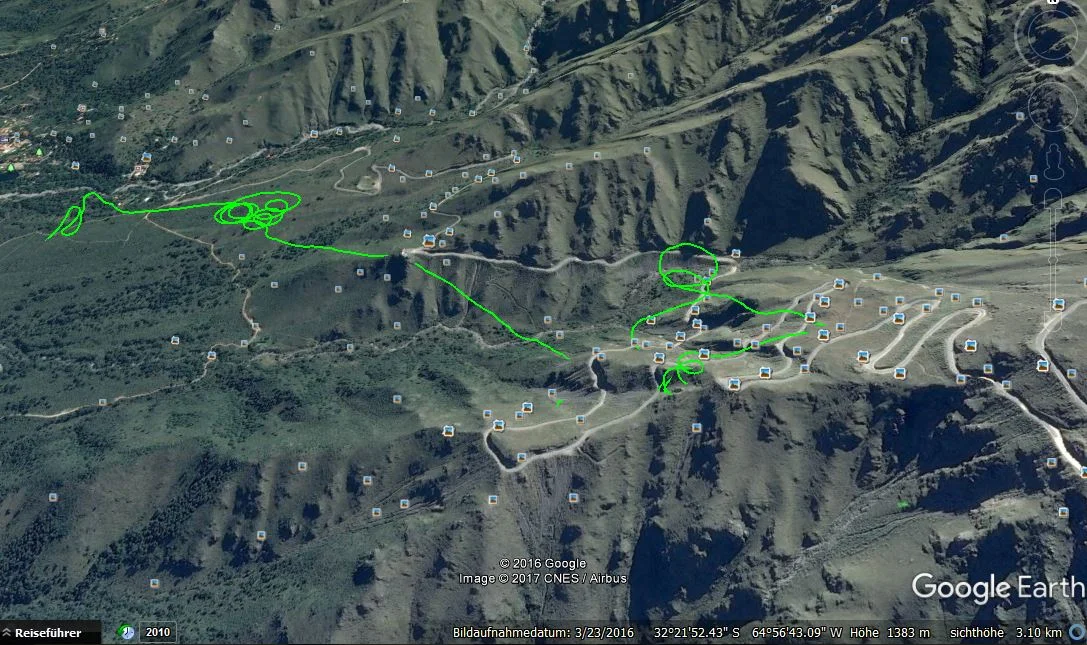
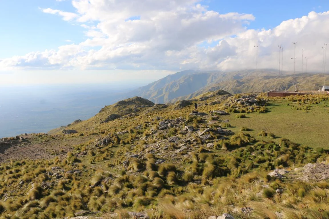
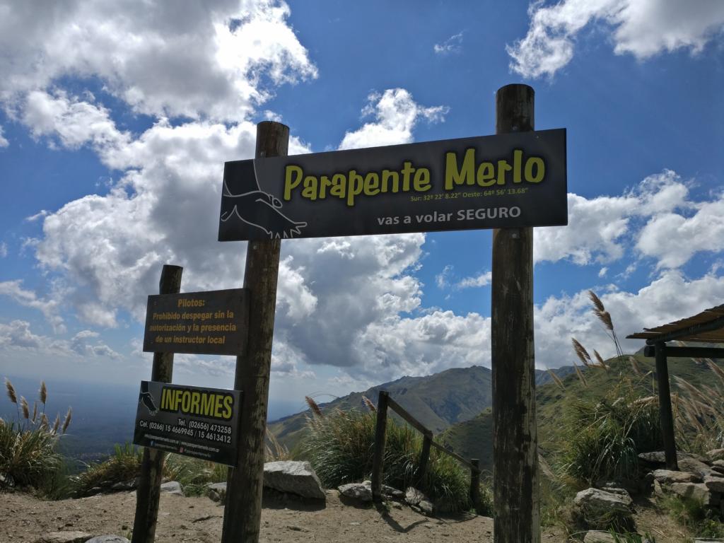
Ciudad Villa de Merlo: 252 km south-west from Cordoba lays the flying site Merlo on the west side of the Sierra de Comechingones mountain range. Take-off: S 32O24’18.03’’, W 64O 55’58.27’’, 2104 m; in case wind is not conducive there is an alternative start (which I used) next to the road leading up to the top: S 32O22’12.86’’, W 64O 56’31.62’’, 1709 m; landing site: S 32O21’29.63’’, W 64O 57’50.97’’, 1138 m. There are several take-off sites along the road. The highest is next to the restaurant Mirador de Condor at then end of the road leading up the mountain. In case the wind does not permit to start from there you can try one of the lower take-off points which are wind-protected. The site offers fantastic flights along a green Alpine-style mountain range. The landing site is the small clearing visible in some of below pictures.

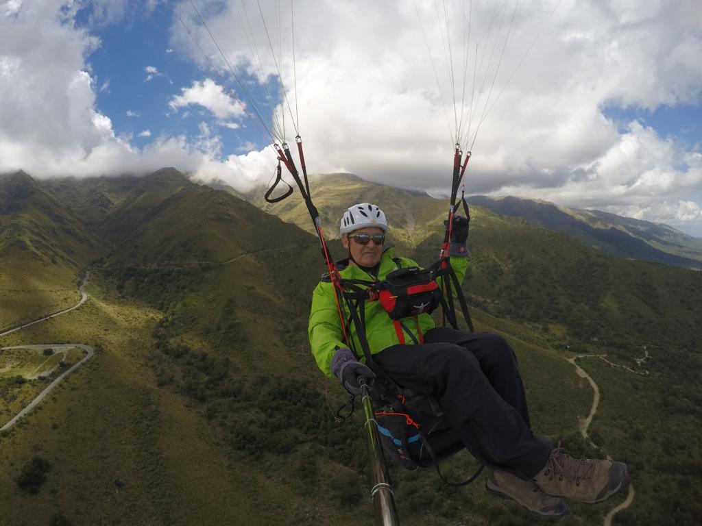
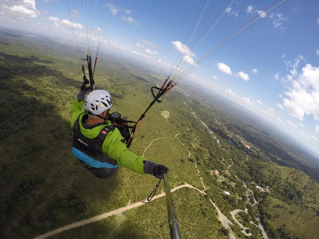
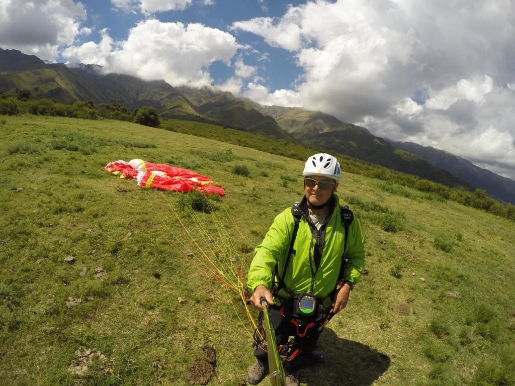
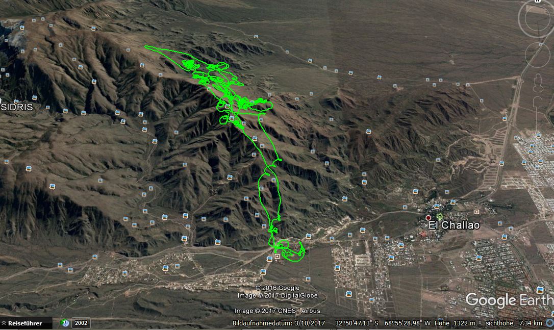
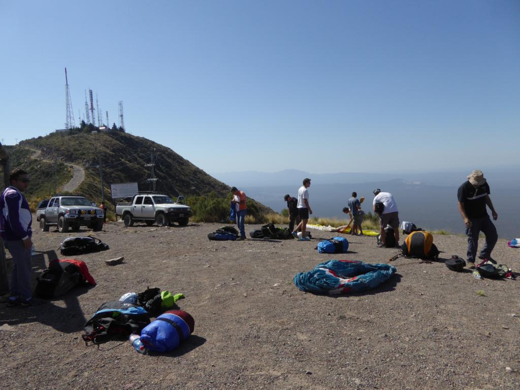
Mendoza (Cerro Arco) – 498 km south of Merlo - is another interesting flying centre. Take-off: S 32O 50’20.12’’, W 68O 55’58.46’’, 1571 m; landing site: S 32O 51’46.21’’, W 68O 55’19.33’’, 1055 m. You can access the start by taxi or on foot (1,5 hours). Ask local pilots for a briefing as you should not be too low in order to avoid landing in the bushes. There is a camping (El Mangrullo) some 3 km away from the landing site which is run by a paragliding pilot.
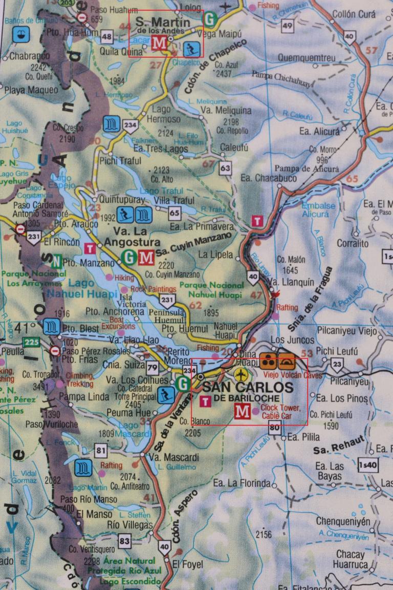
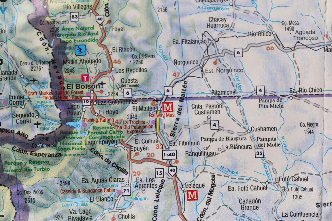
Patagonia offers a number of intersting paragliding spots, e.g. El Bolson, San Carlos de Bariloche and San Martin de los Andes.
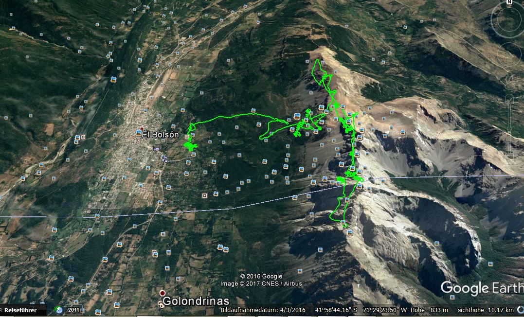
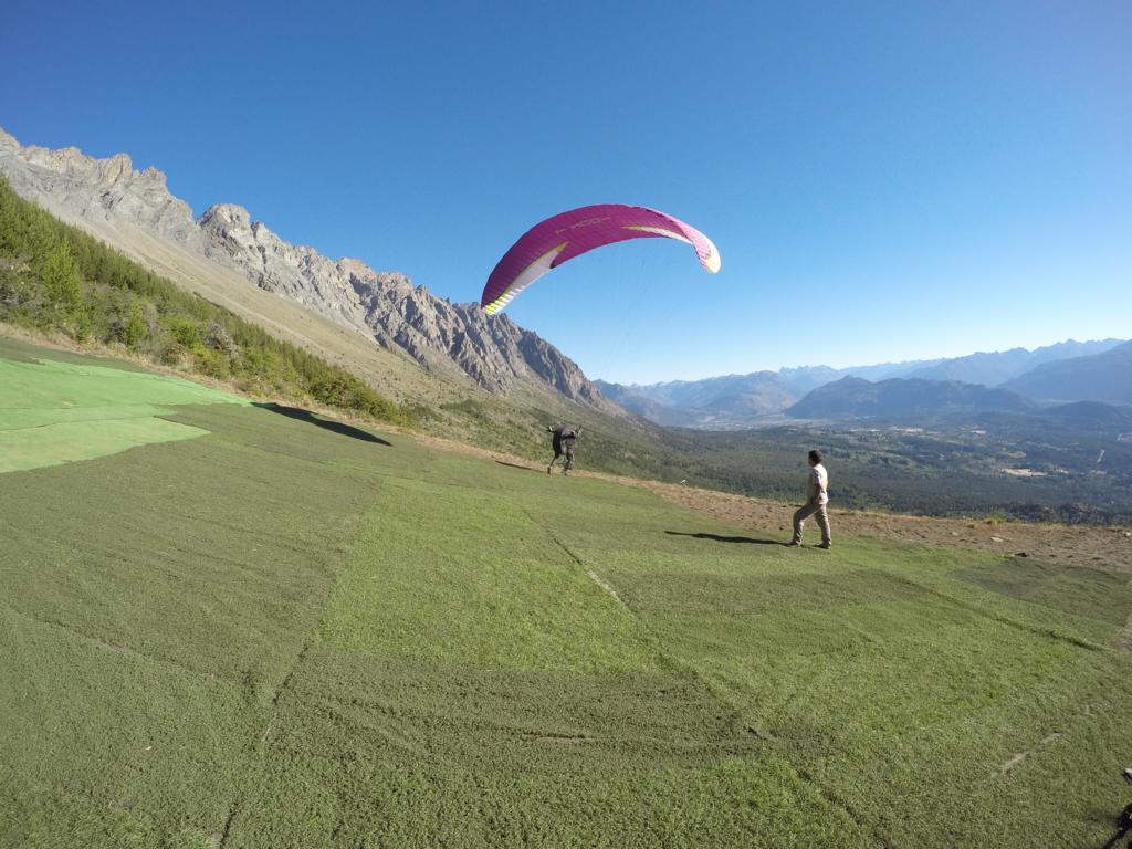
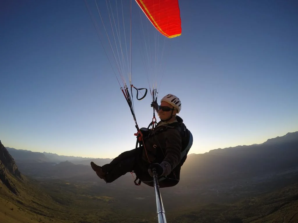
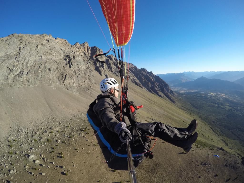
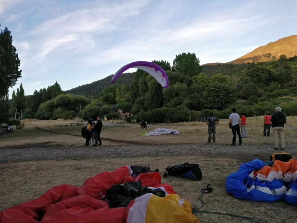
Due to weather conditions I only flew in El Bolson: Take-off: S 41O 58’26.59’’, W 71O 28’43.57’’, 1177 m; landing site: S 41O 58’20.53’’, W 71O 30’57.30’’, 378 m. There is local club / flying school with a campground next to the city. Access to the start is by taxi. Currently landing takes place on a temporary landing site which needs some experience (tries, powerline). In case you want to fly XC ask the local pilots for an introduction into the rather complicated wind system created by several valleys.