Central Bolivia – June 2017
Together with Clara (who joined me in Santa Cruz) I continued my travel through Central Bolivia visiting in particular the lowlands.
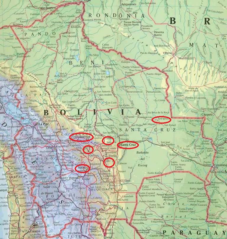
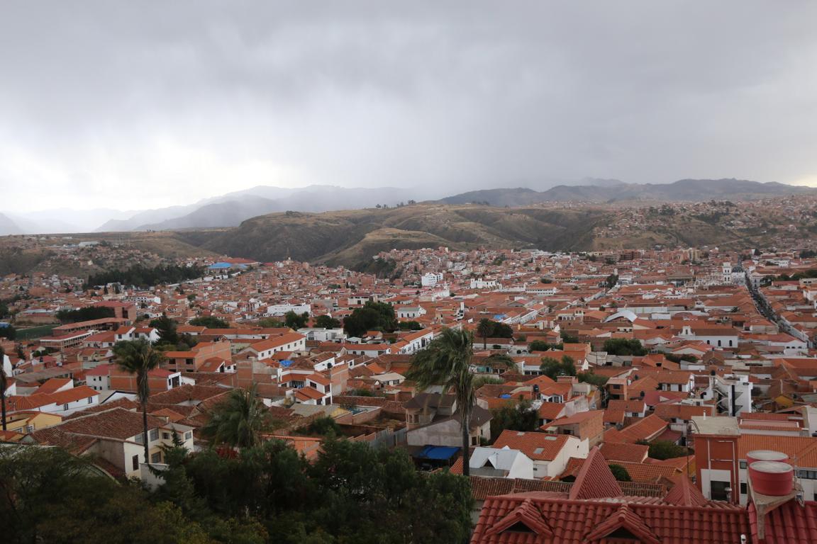
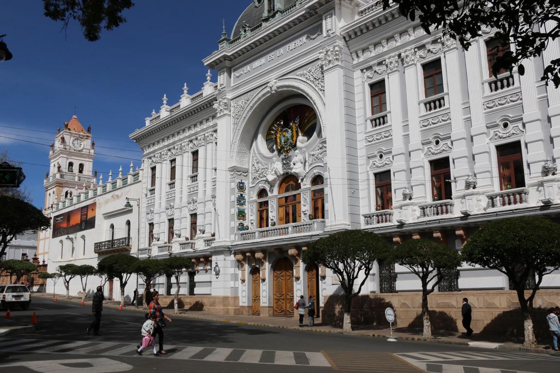
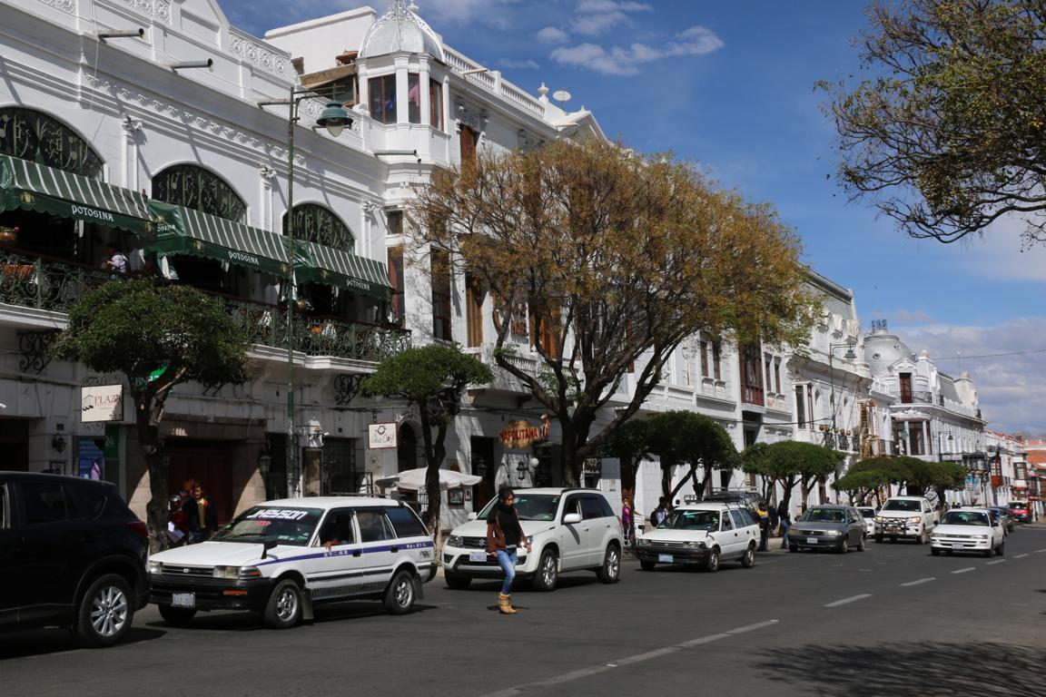
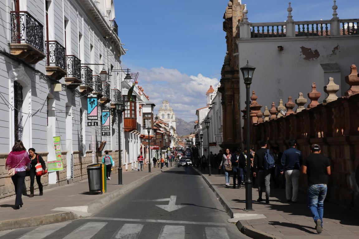
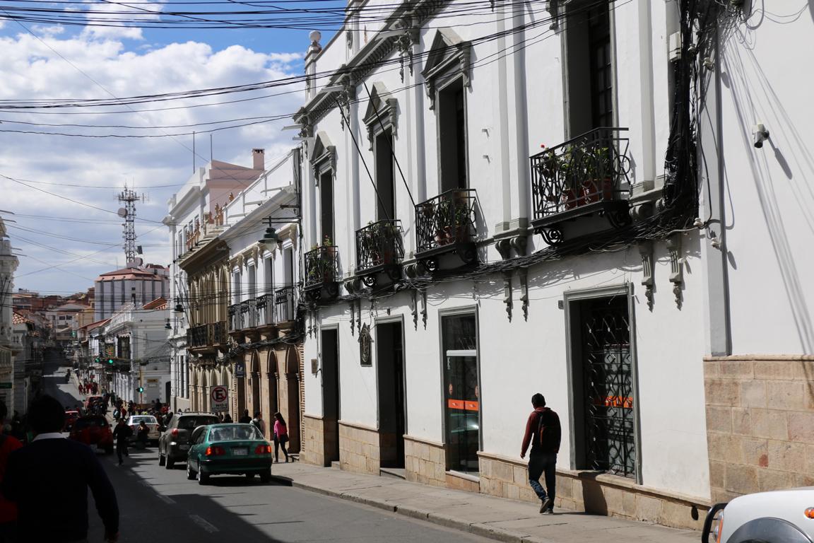
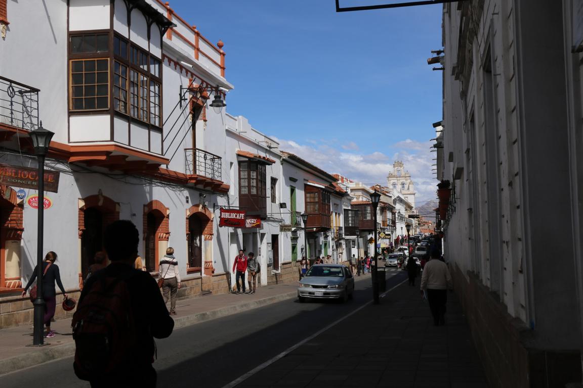
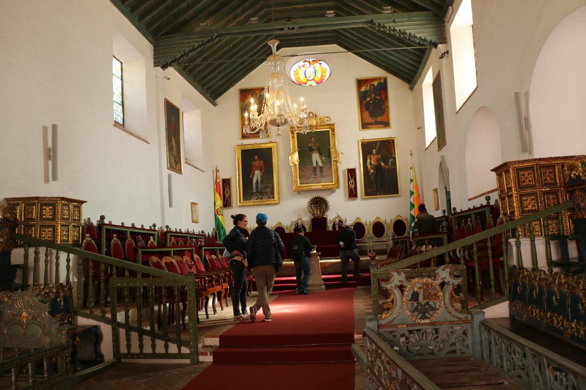
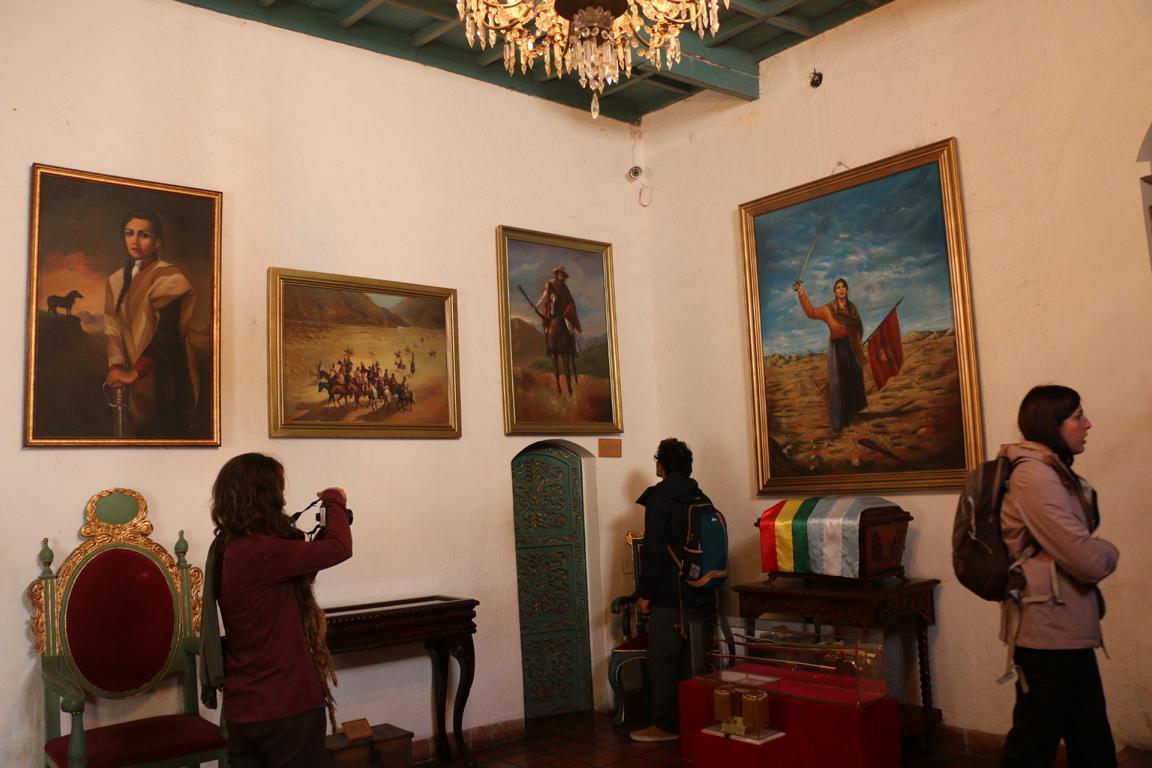
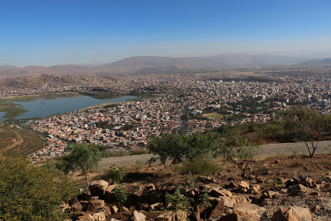
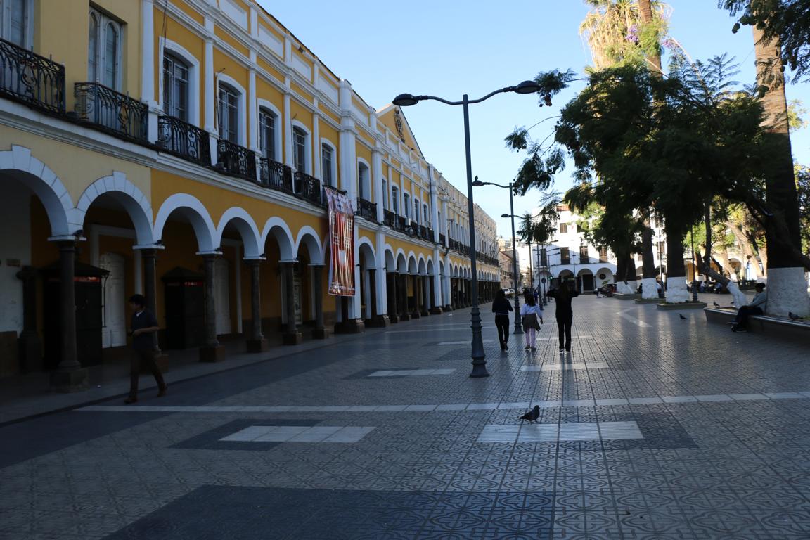
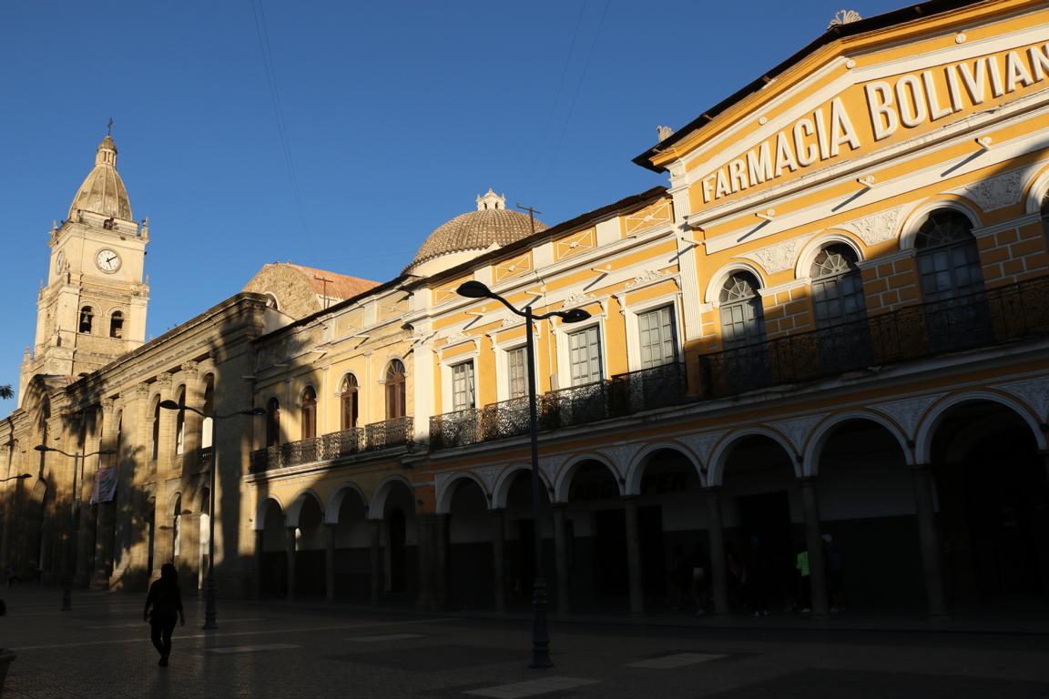
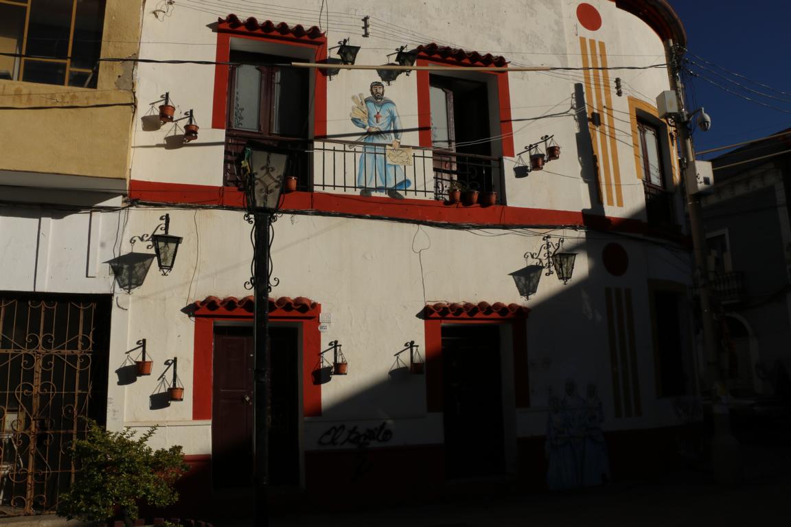
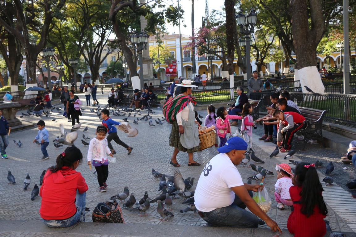
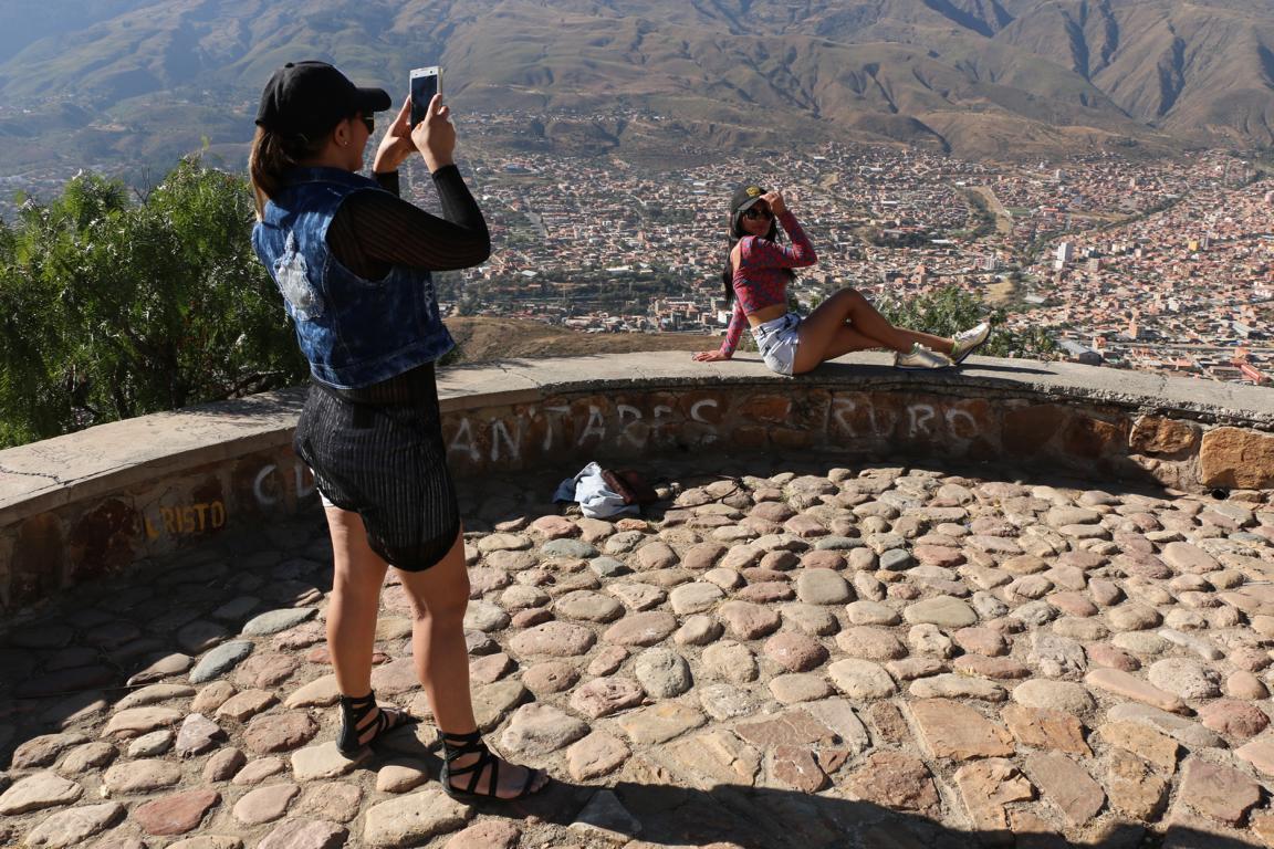
The city of Sucre (300.000 inhabitants; 2,900 m of altitude) is Bolivia’s constitutional capital, although only the Supreme Court is located there while the Government and the Parliament operate in La Paz. Originating from its important role during the colonial period the city is renowned for its fine architecture. Sucre also was the city where Bolivia’s independence movement started in 1809. Below photos show some of the rooms where Bolivians declared independence in 1825.

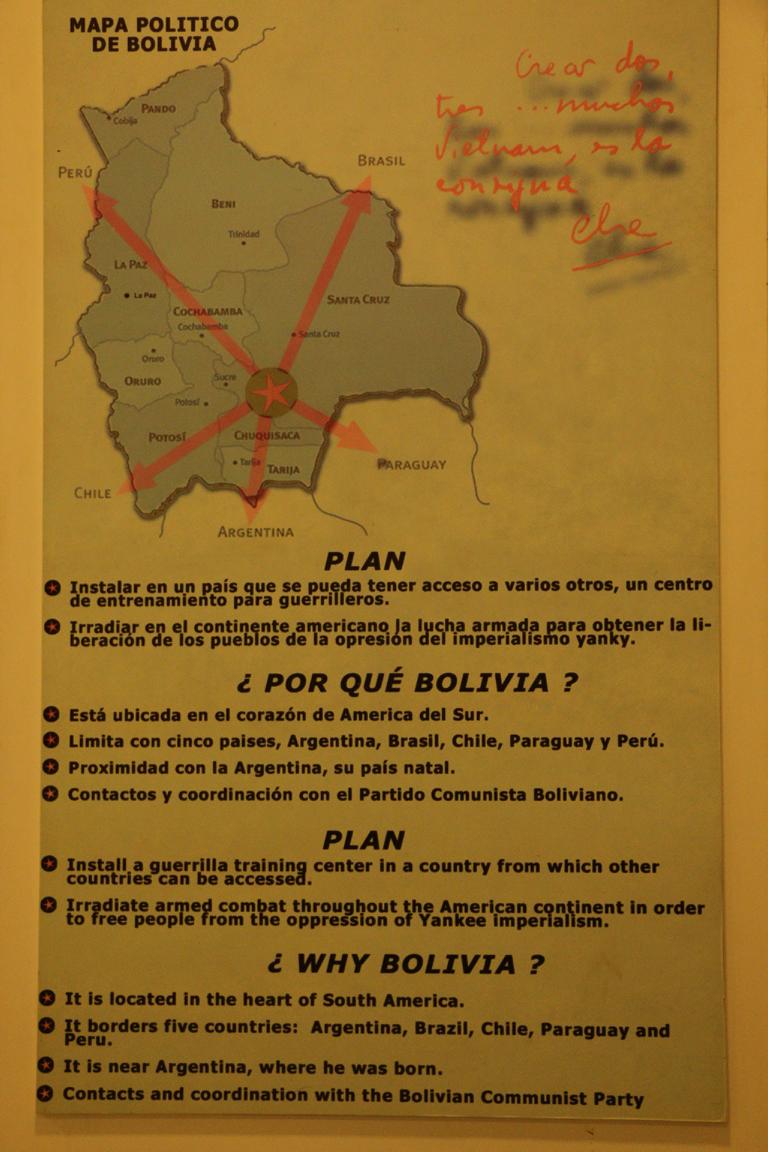
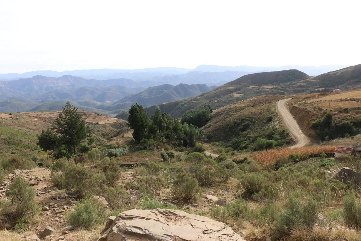
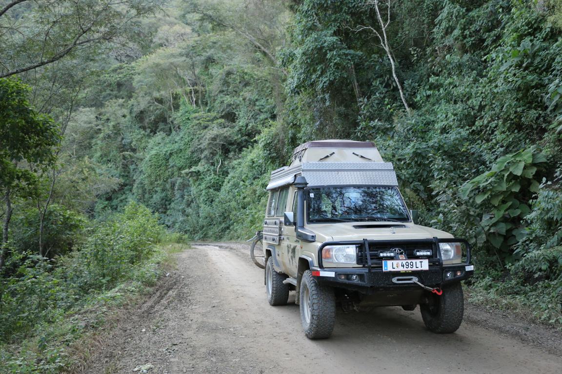
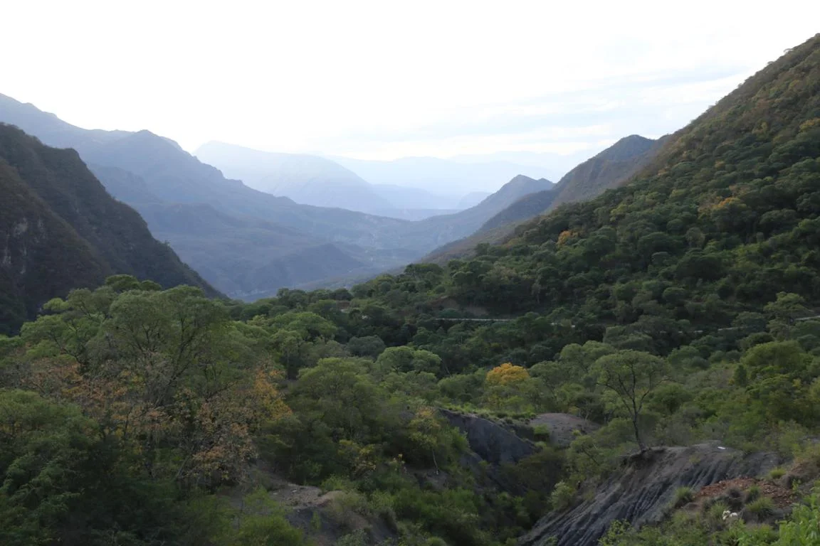
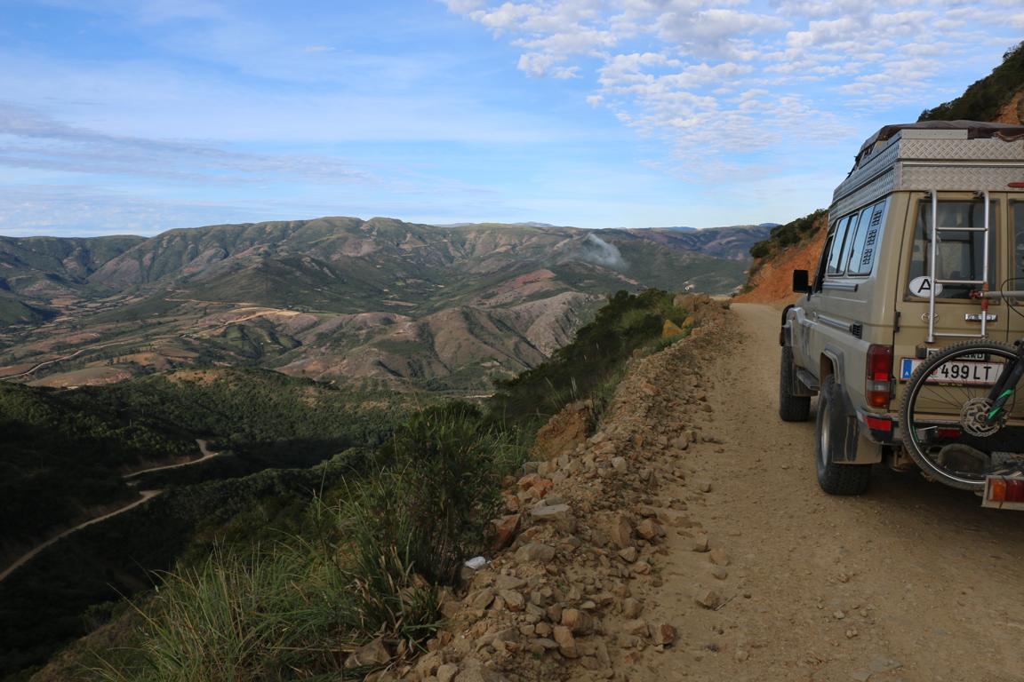
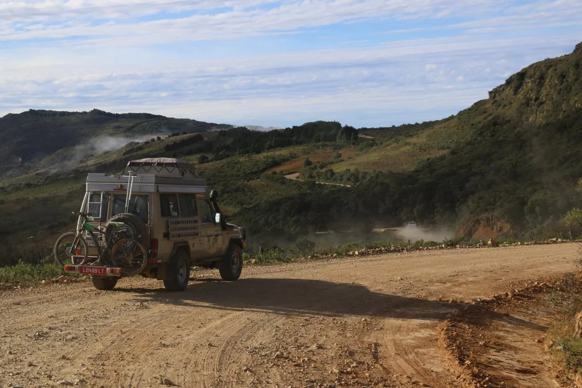
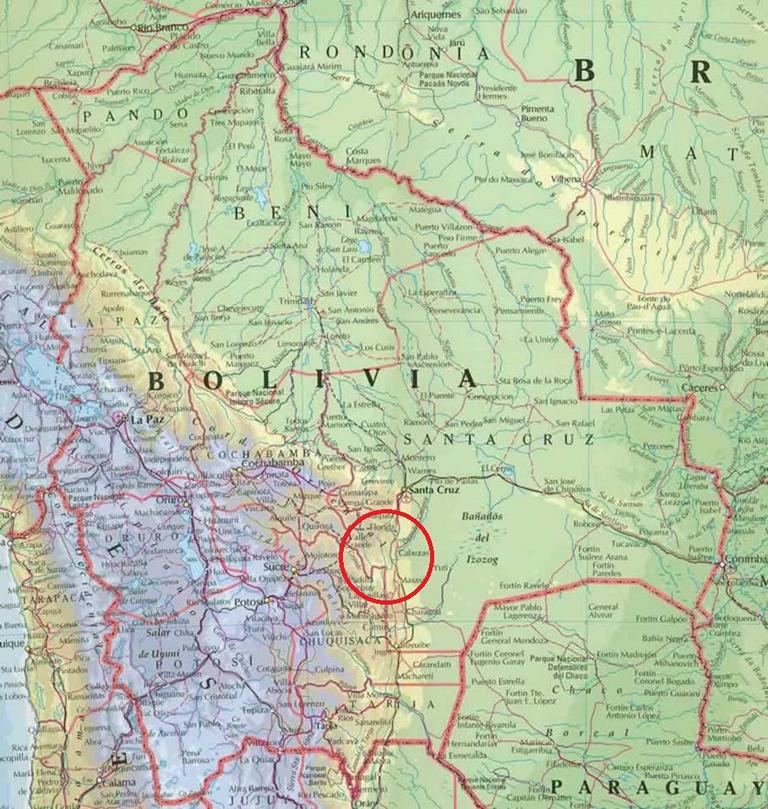
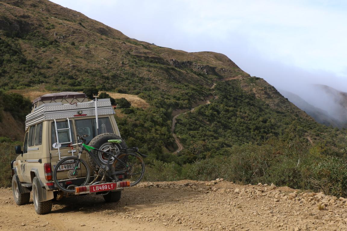
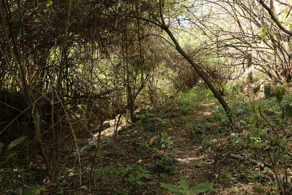
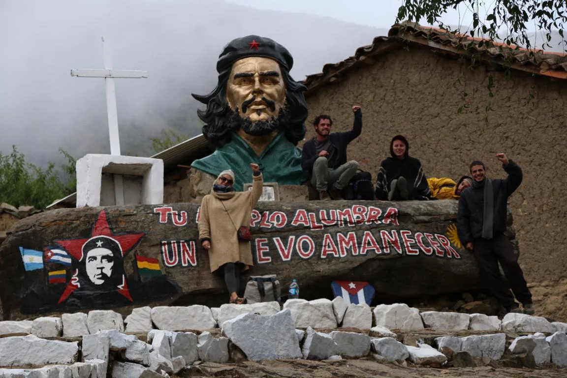
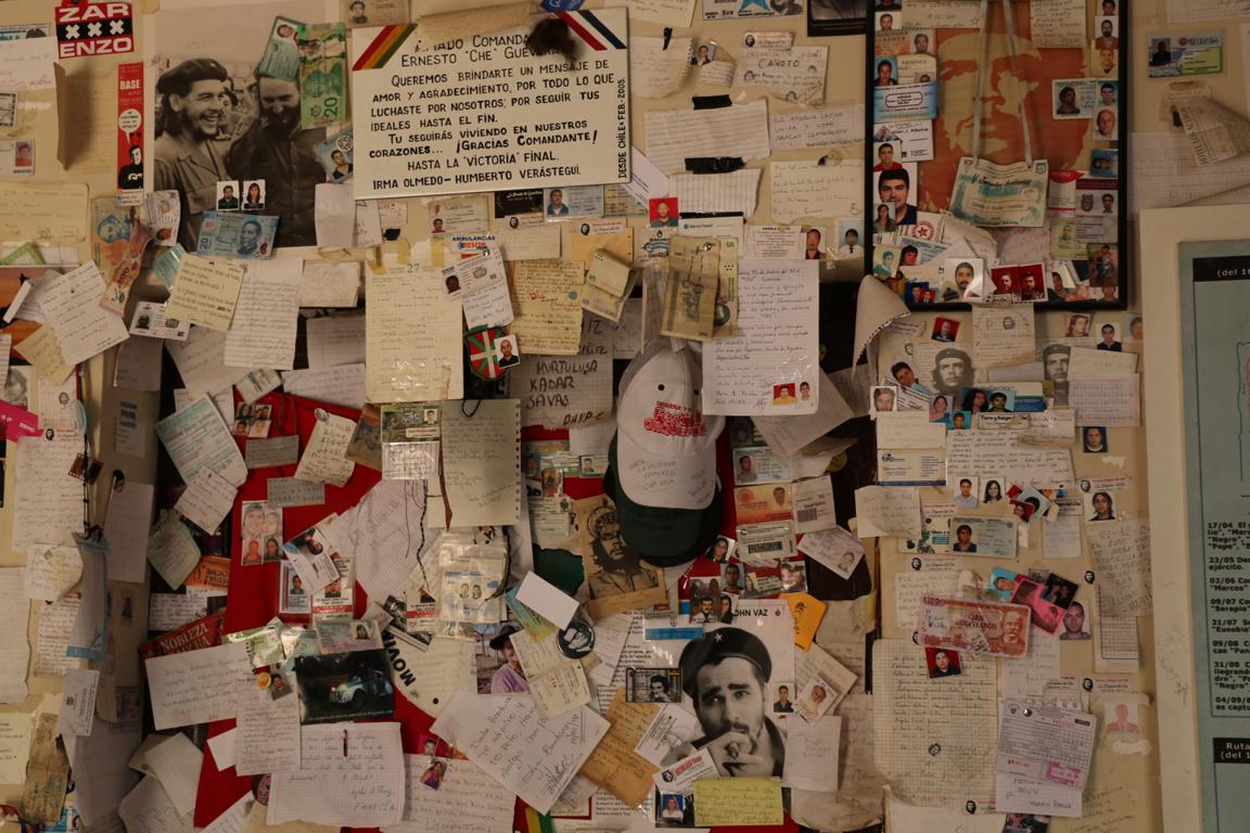
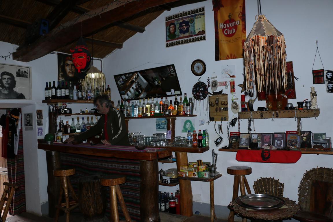
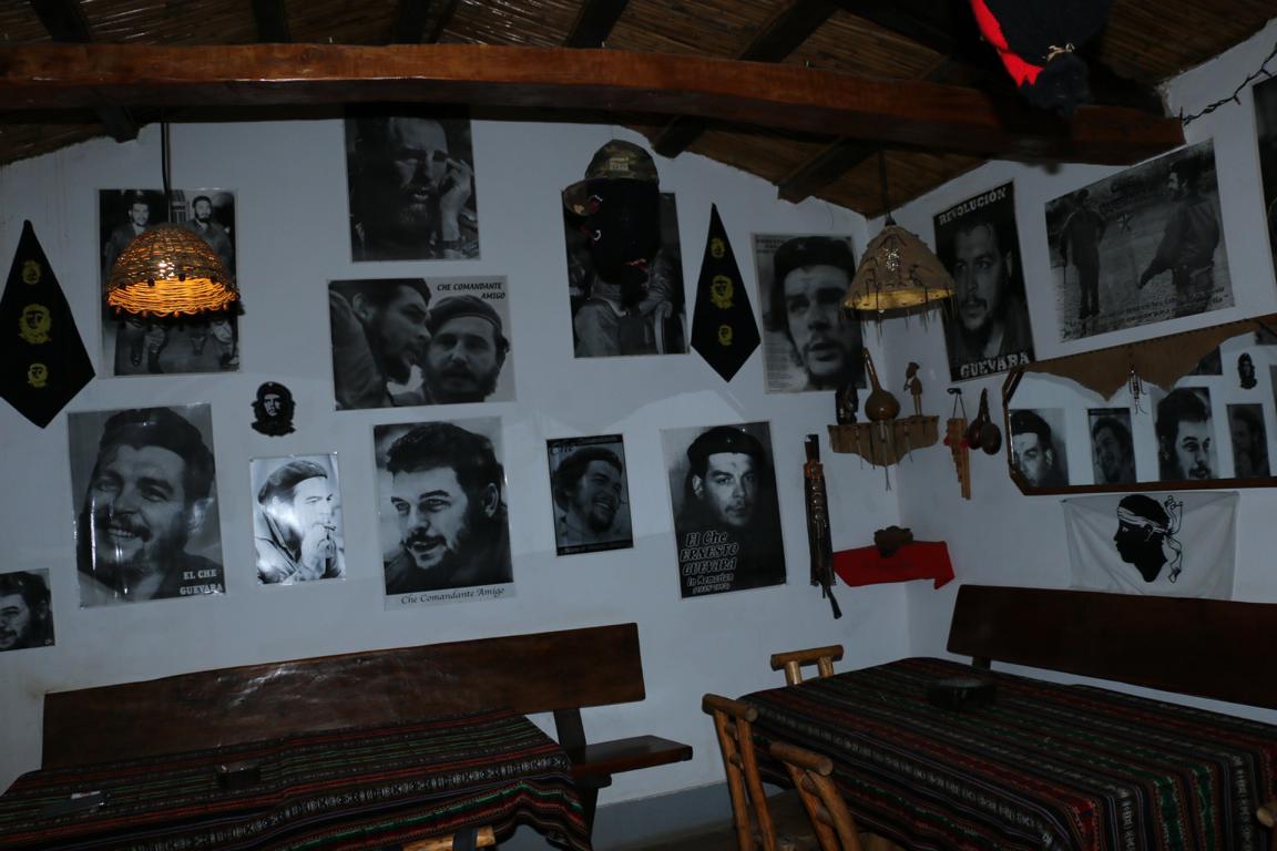
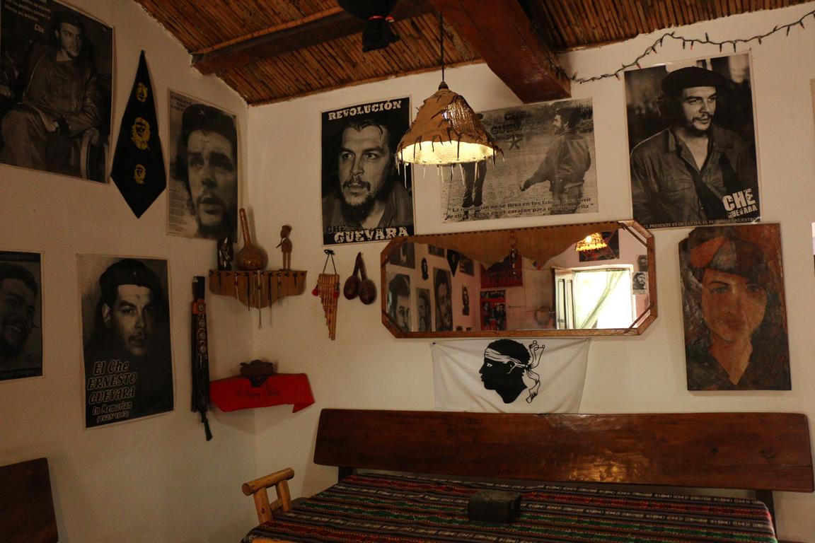
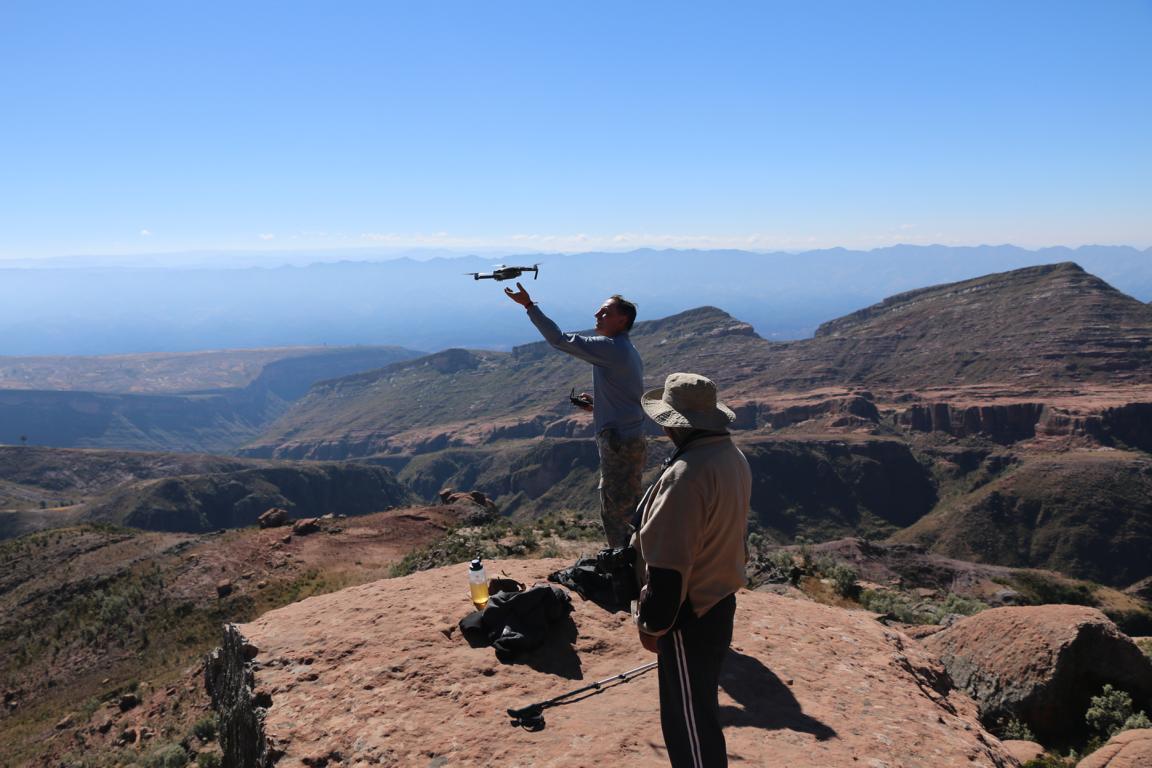
A bumpy eight-hour drive south-east of Sucre lays a mountainous region where Ernesto Che Guevara in 1966 had chosen to establish a guerrilla front. Based on the foco-theory the plan was to establish a guerrilla using Bolivia as a base to also operate in the neighbouring countries (“… to create one, two, many Vietnam…”). The central idea of the foco-theory was that "vanguardism by cadres of small, fast-moving paramilitary groups can provide a focus for popular discontent against a sitting regime, and thereby lead a general insurrection" (Wikipedia). While geographically the territory was well-chosen (in the 60s there existed no roads in that region) the level of political consciousness of the population was low eventually leading to the failure of the whole operation. Today the Bolivian tourism administration promotes a Che-Guevara-Route which leads to the major places of these events.
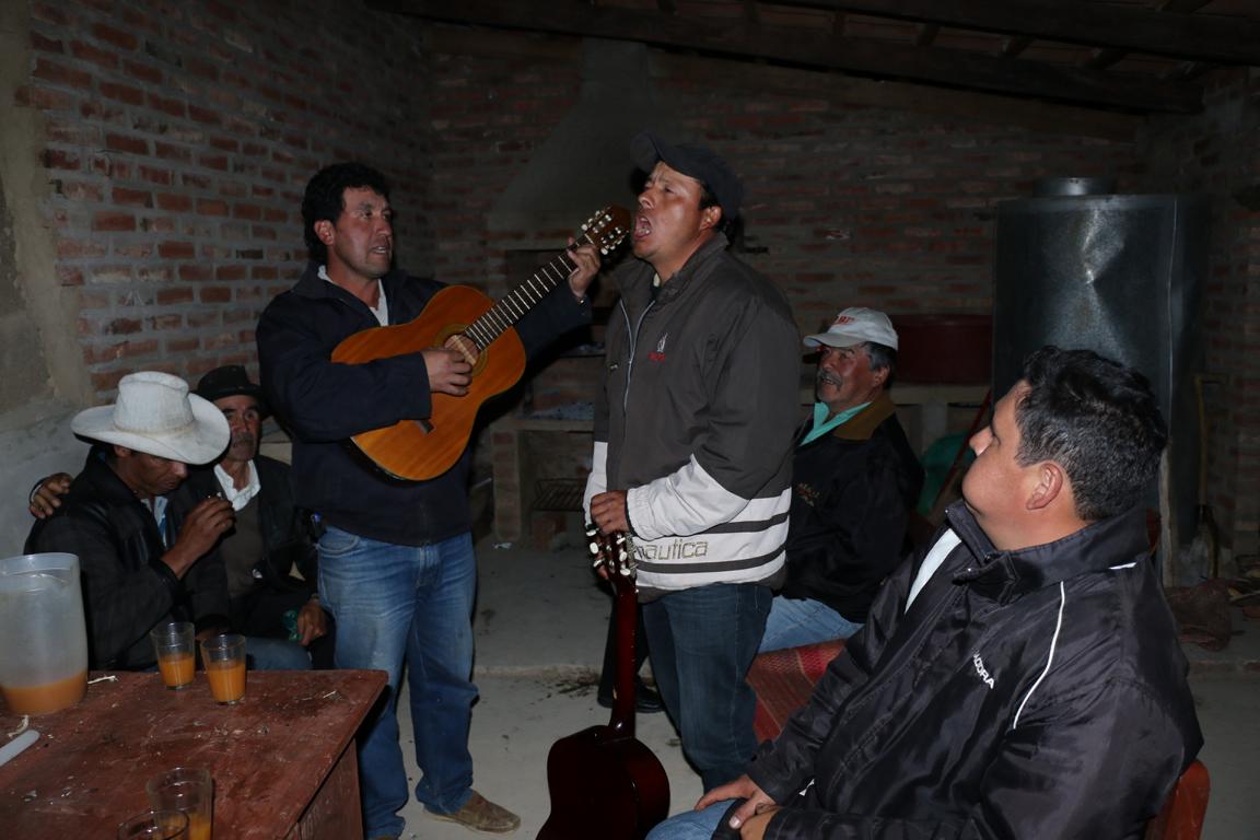
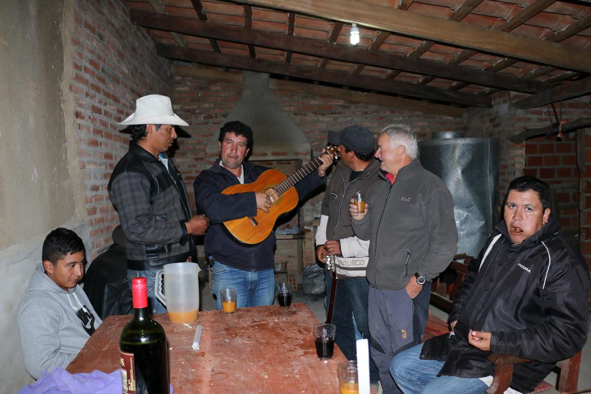
The first night of the trip I spent in Pucara celebrating teacher’s day with the local teachers. The preferred (yellow) drink is Chicha, a home-brewed beer made out of corn.


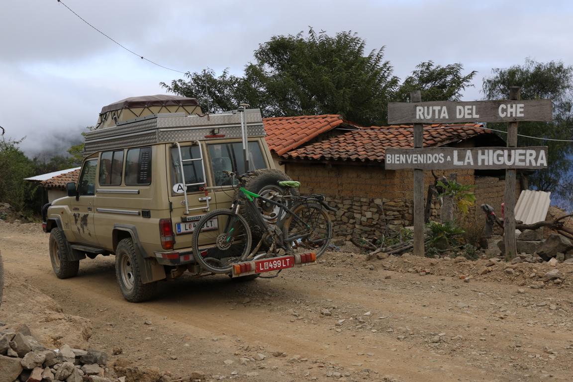
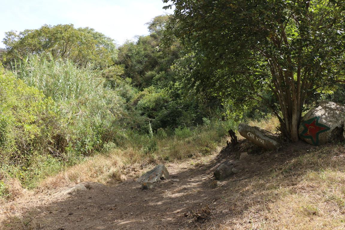
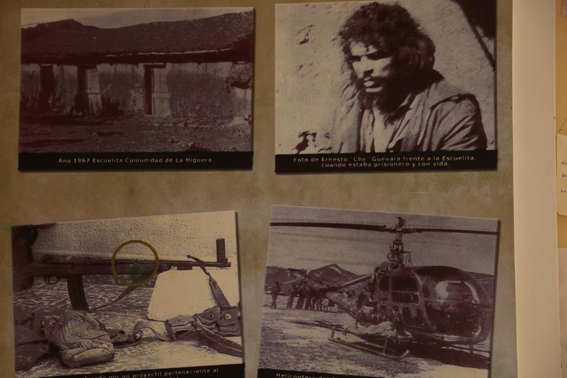
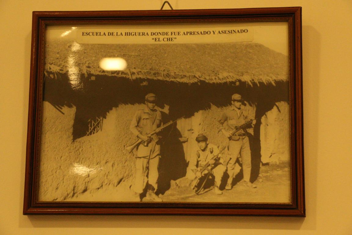
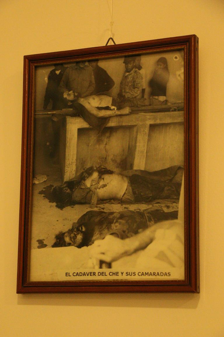
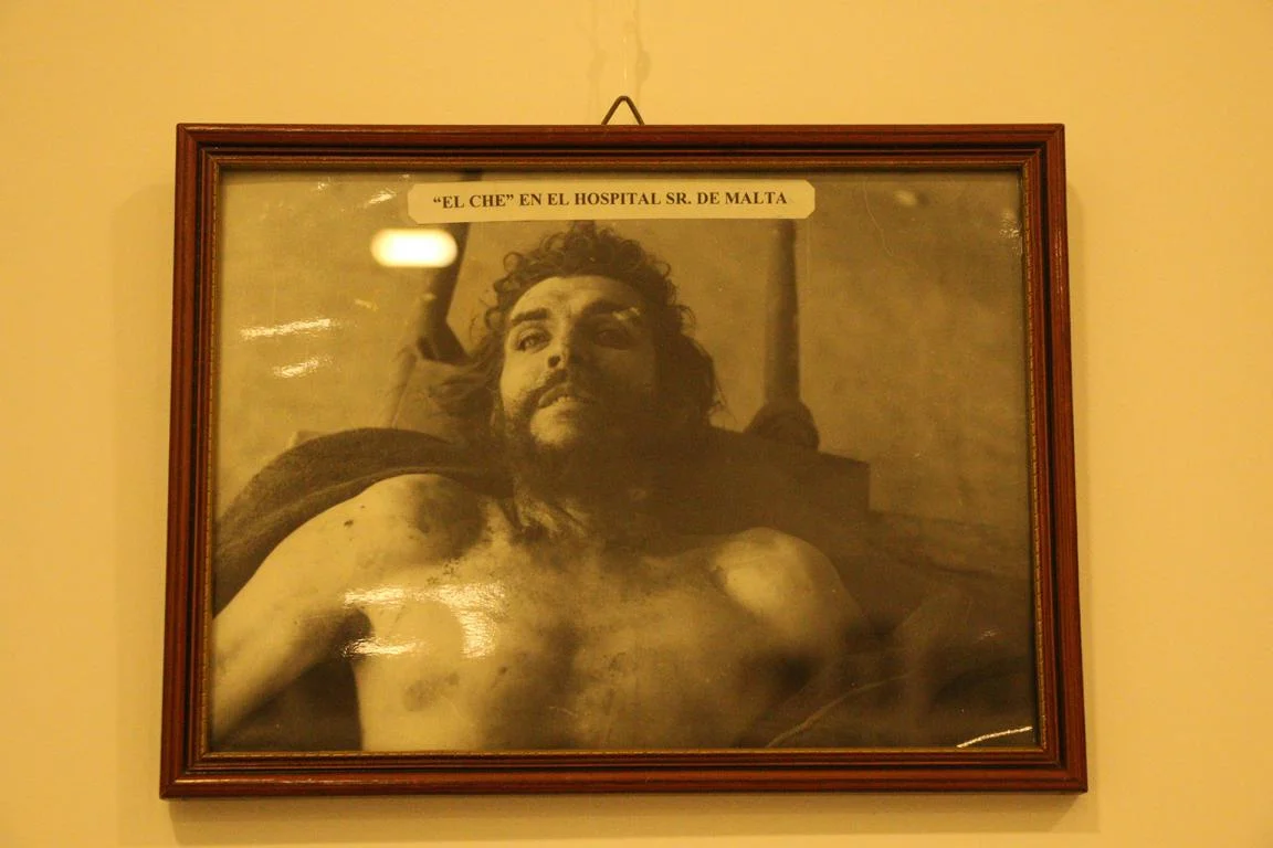
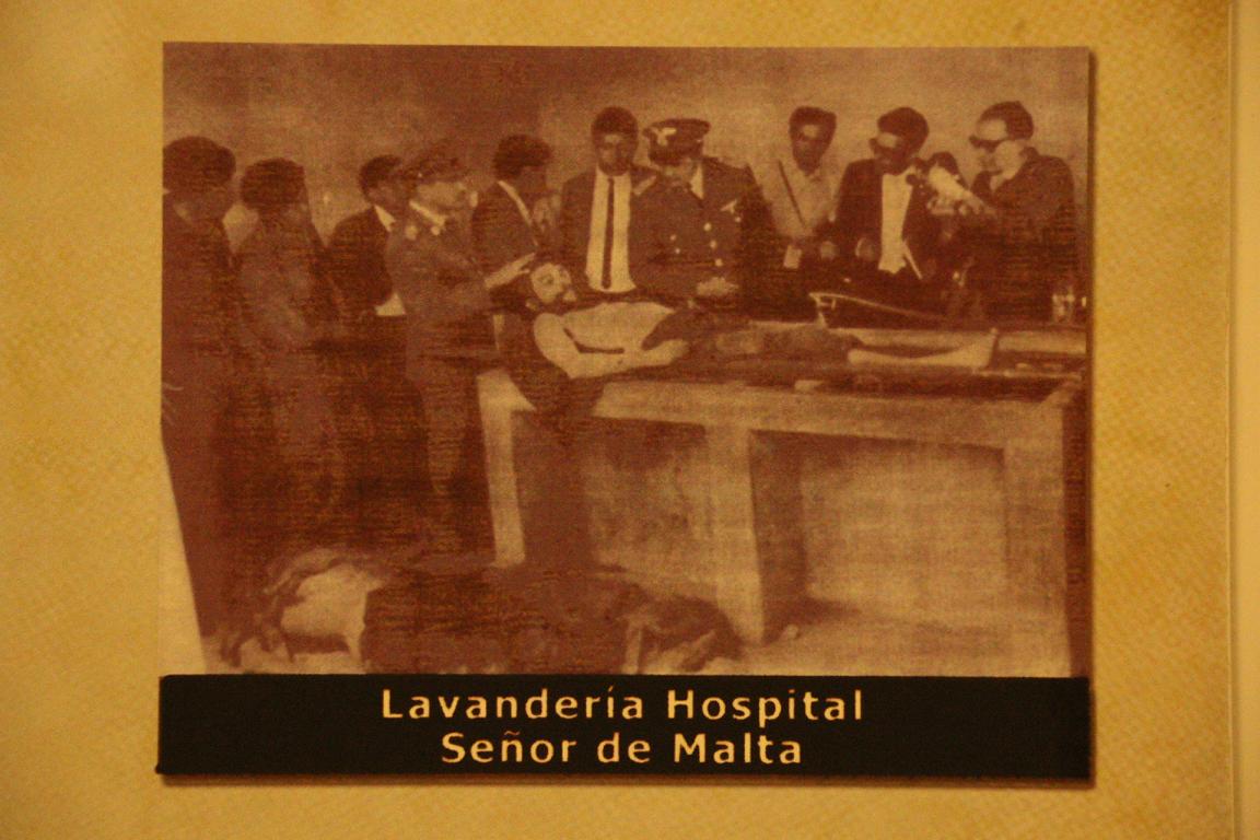
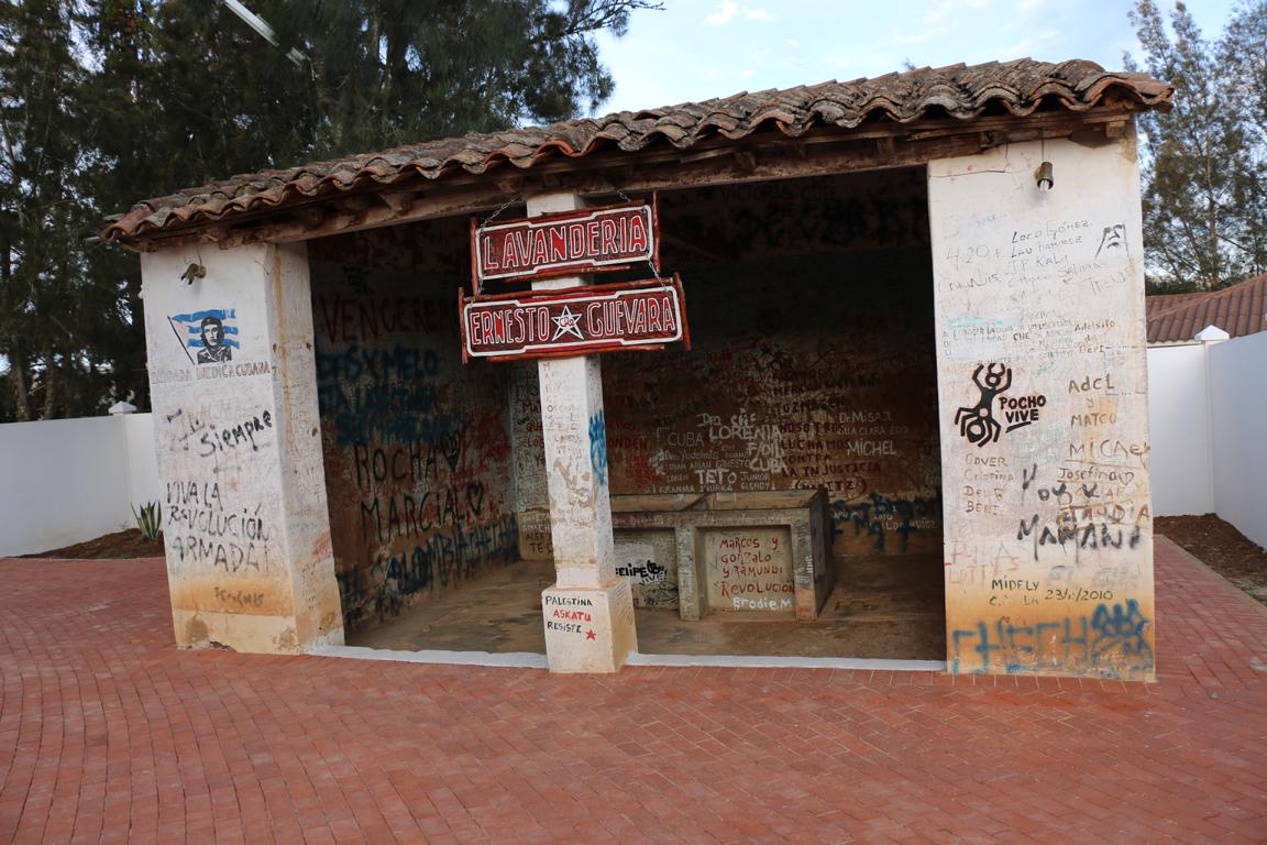
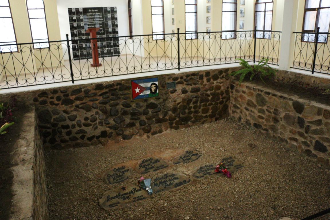
Close to the village of La Higuera Commandant Che Guevara and several of his comrades were hunted down and captured by the Bolivian Army on 8 October 1967. The prisoners were brought to the local school building in La Higuera where they were assassinated the following day upon direct order of the Bolivian President. Their bodies were then transferred by helicopter to Valle Grande where they were displayed to international media in the laundry of the hospital. The bodies later were secretly buried at the edge of the airport’s run way where they were detected and unburied by a Cuban forensic team in 1997. Che Guevara today is buried in Santa Clara / Cuba.
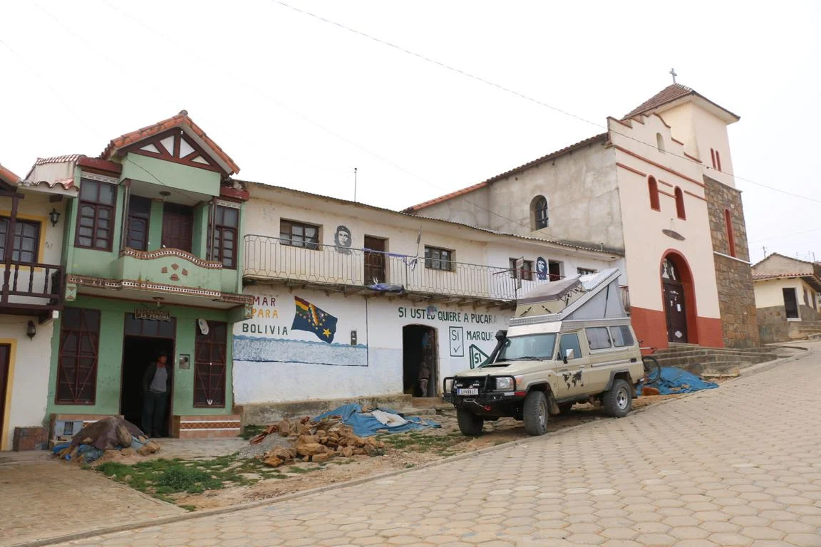
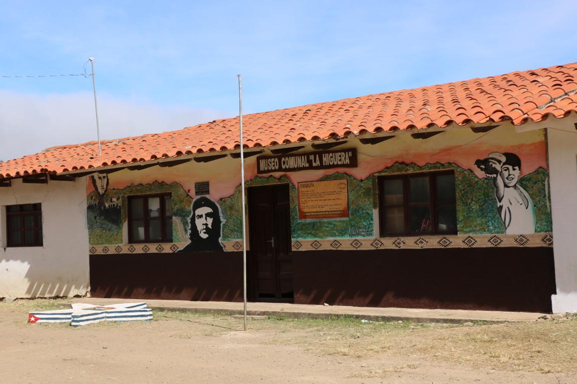
Various signs indicate the places of the events and a memorial has been erected in La Higuera. The school where Che and his comrades were executed has been rehabilitated and now serves as a museum.
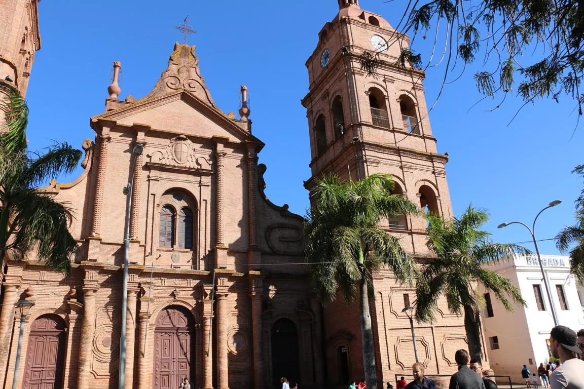
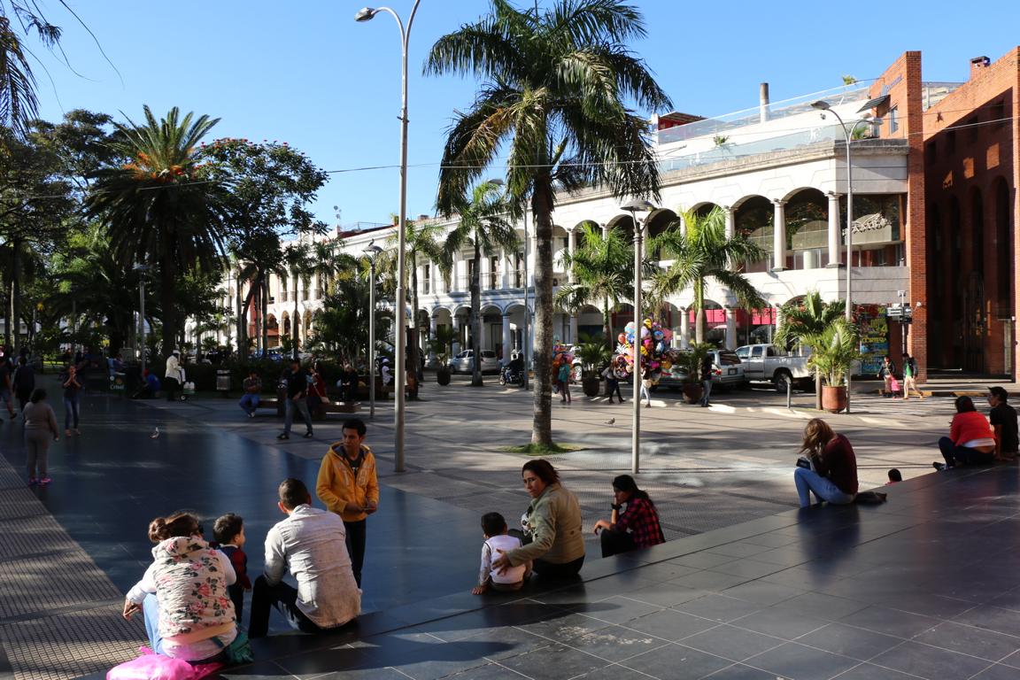
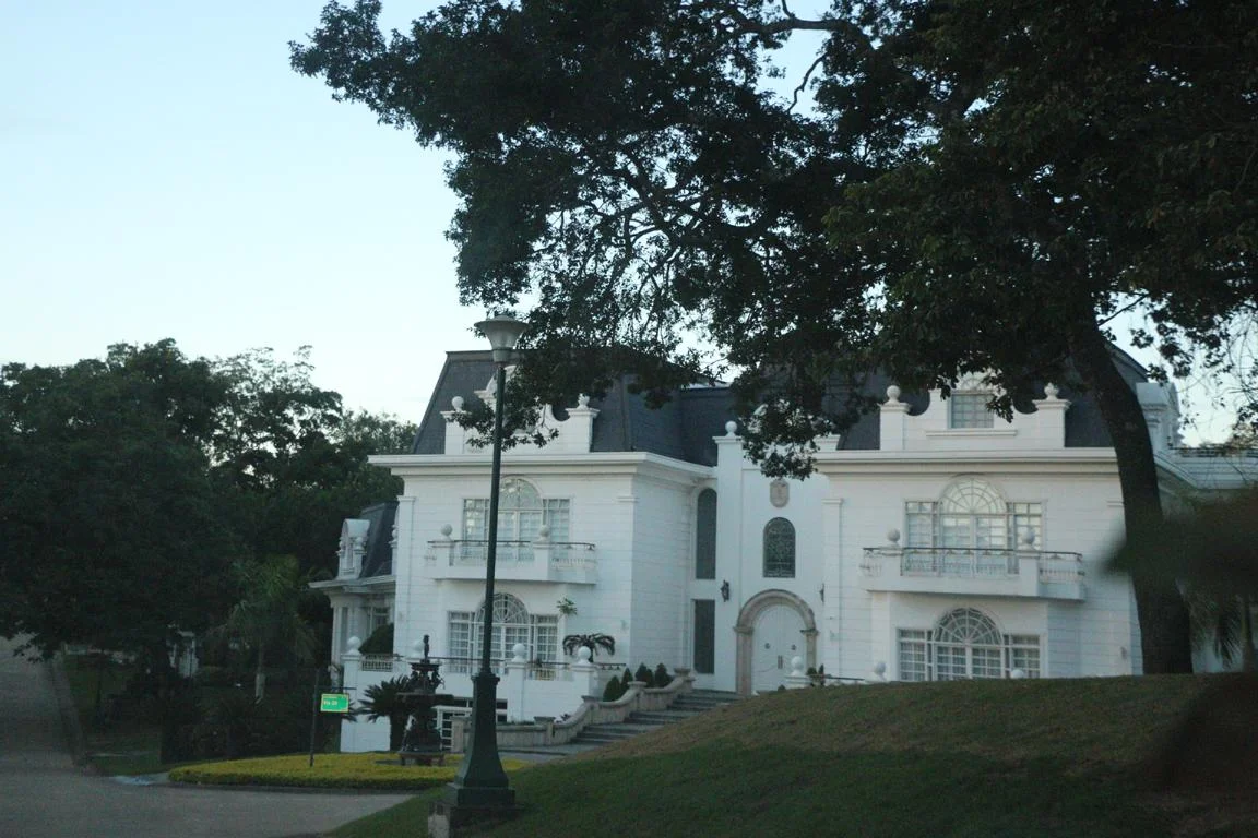
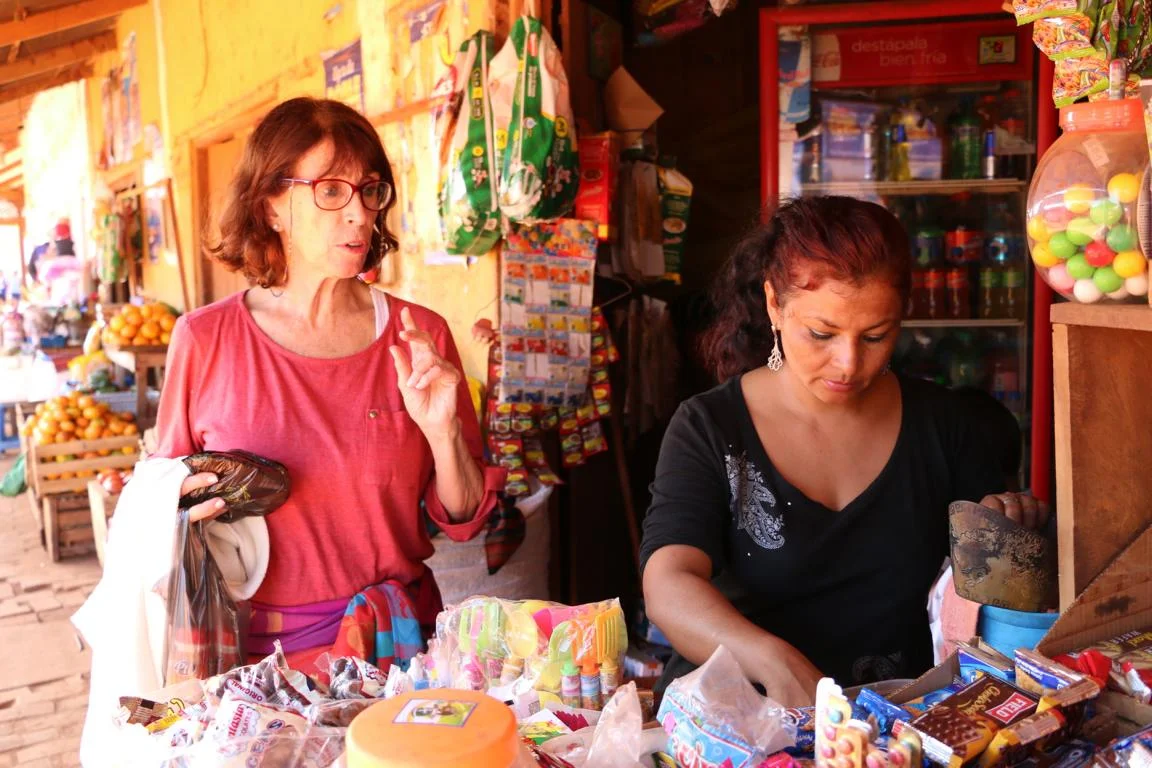
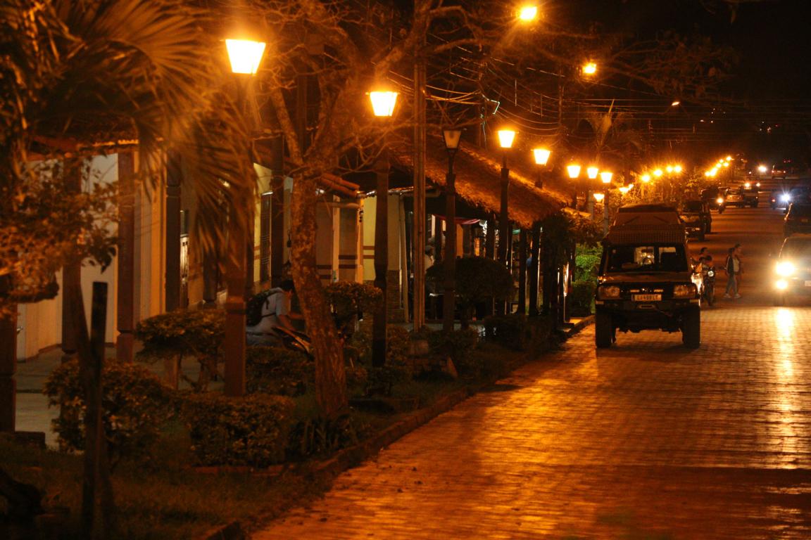
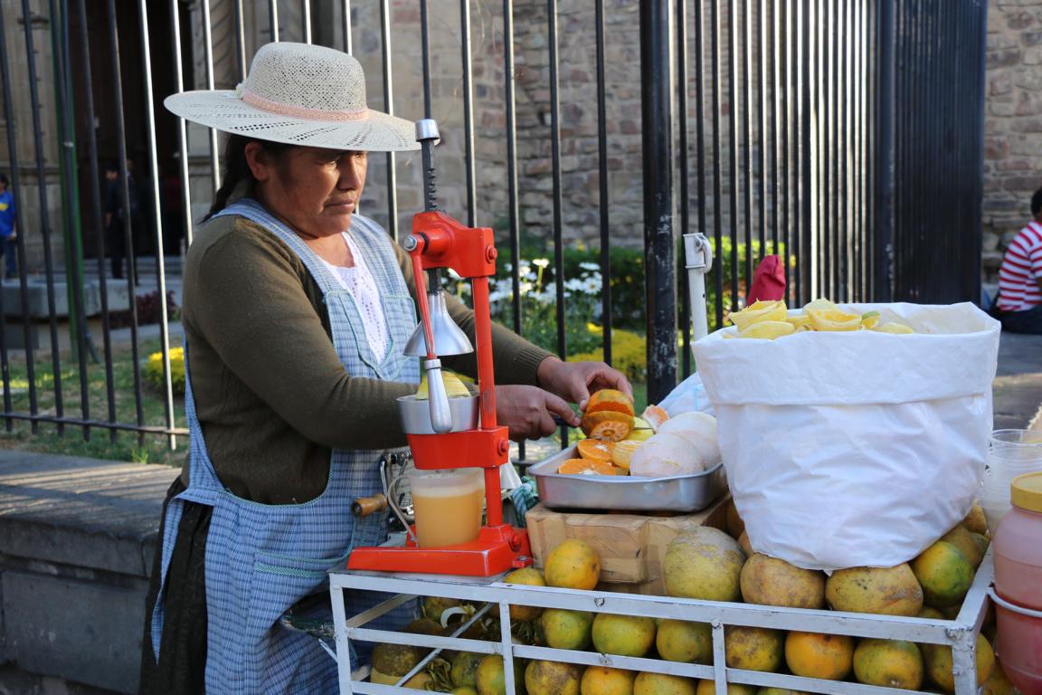
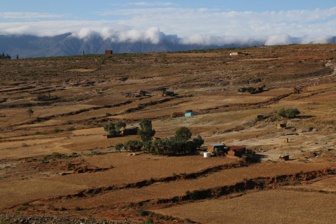
Santa Cruz (1,4 million inhabitants; located at 416 m of altitude) is one of Bolivia’s key economic areas (agribusiness). For security reasons the economic elite is living in guarded condominiums.
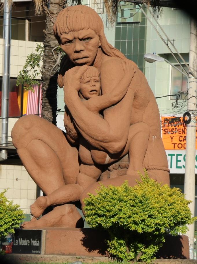
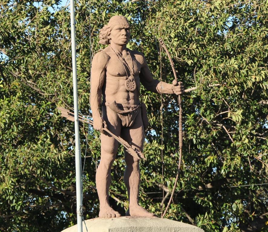

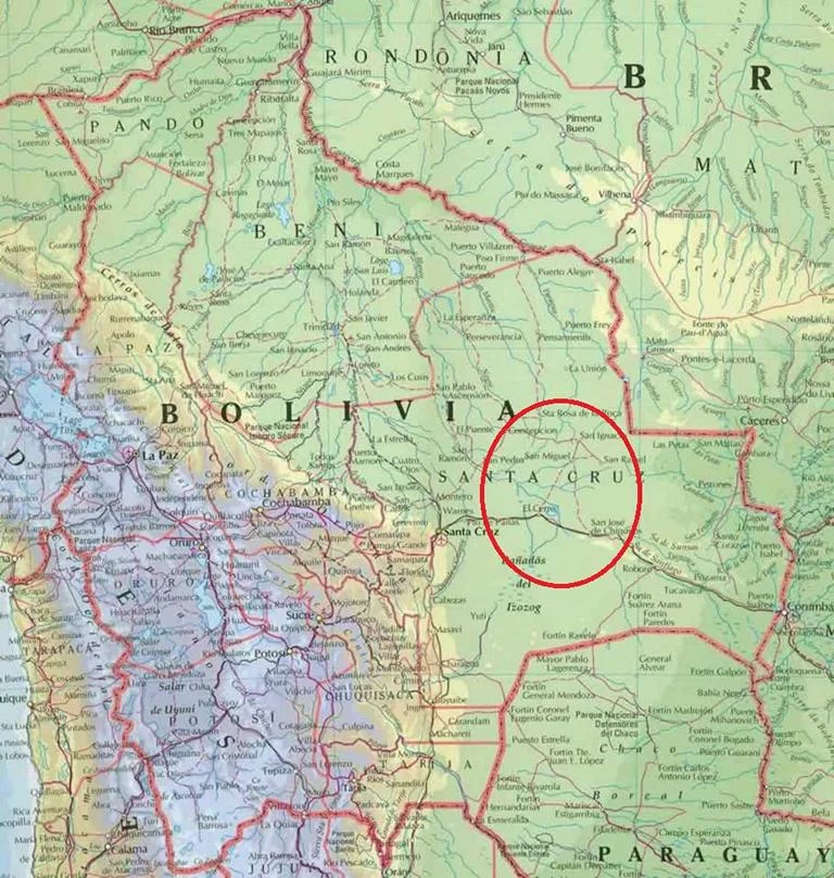
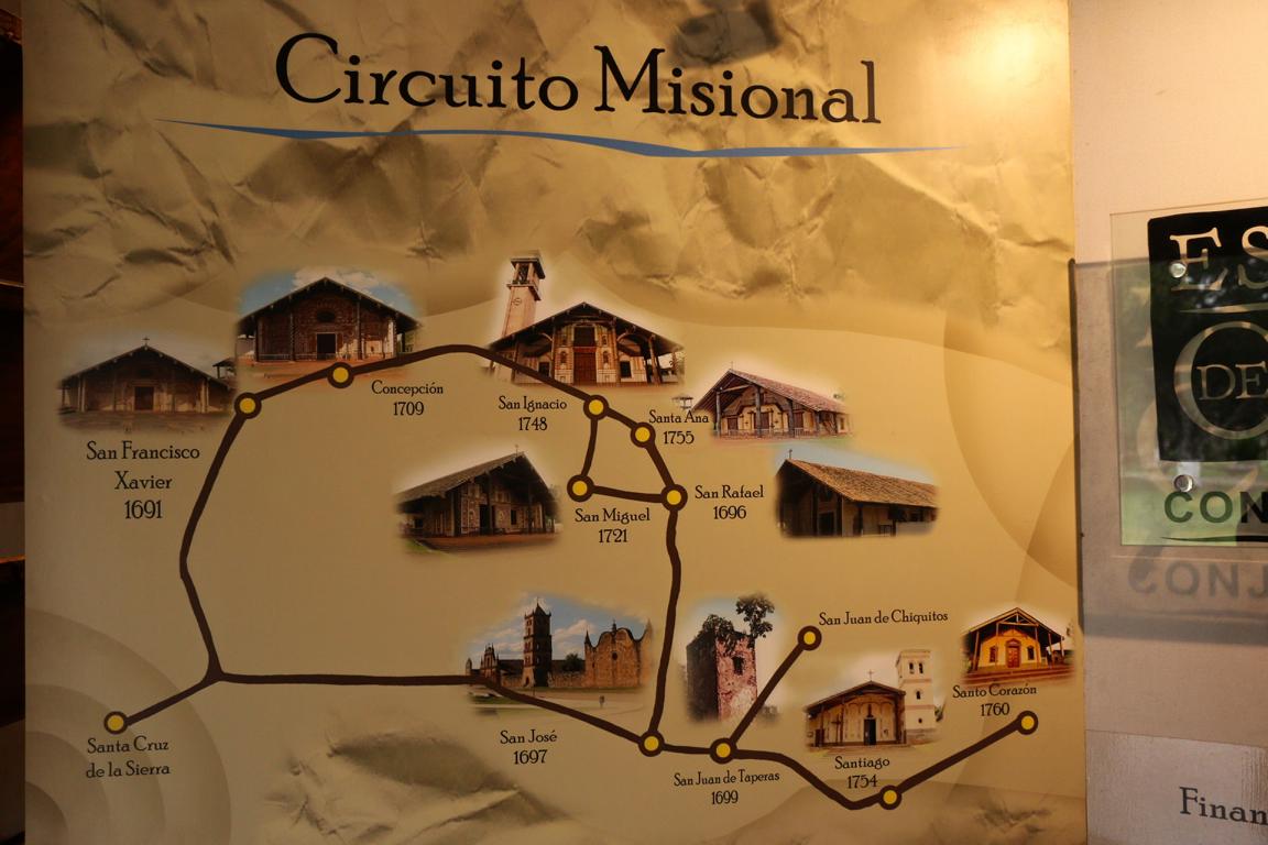
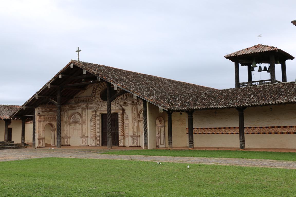
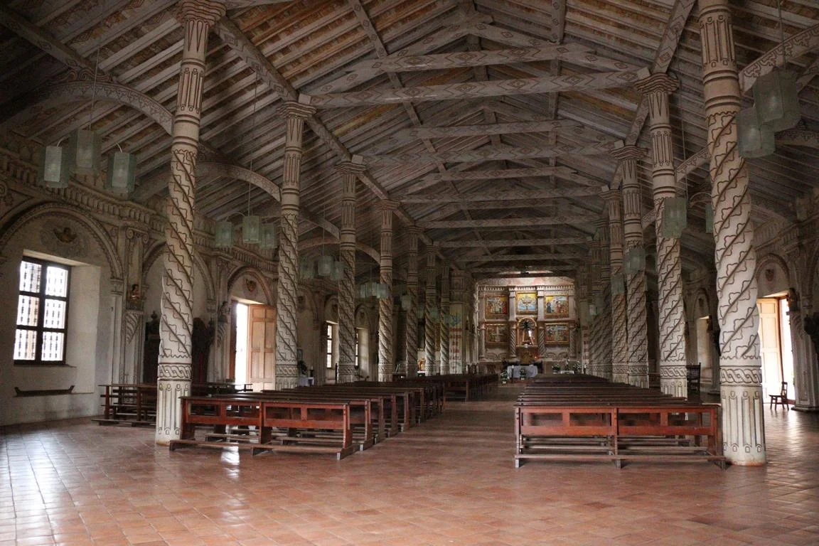
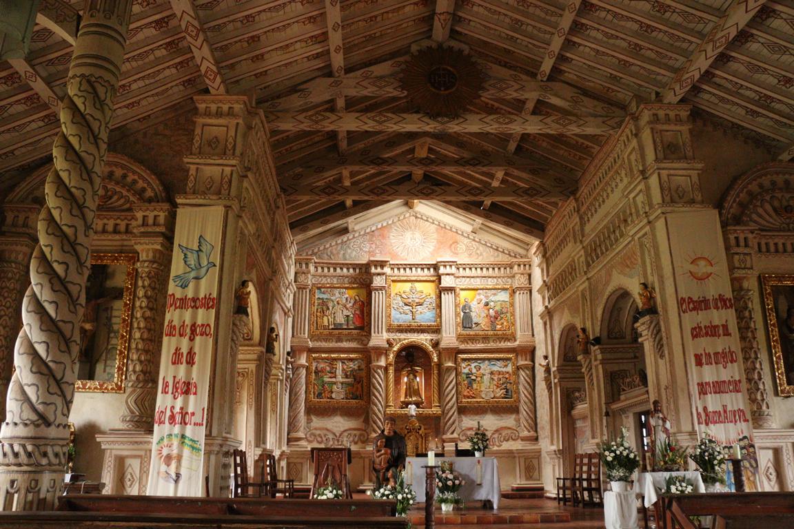
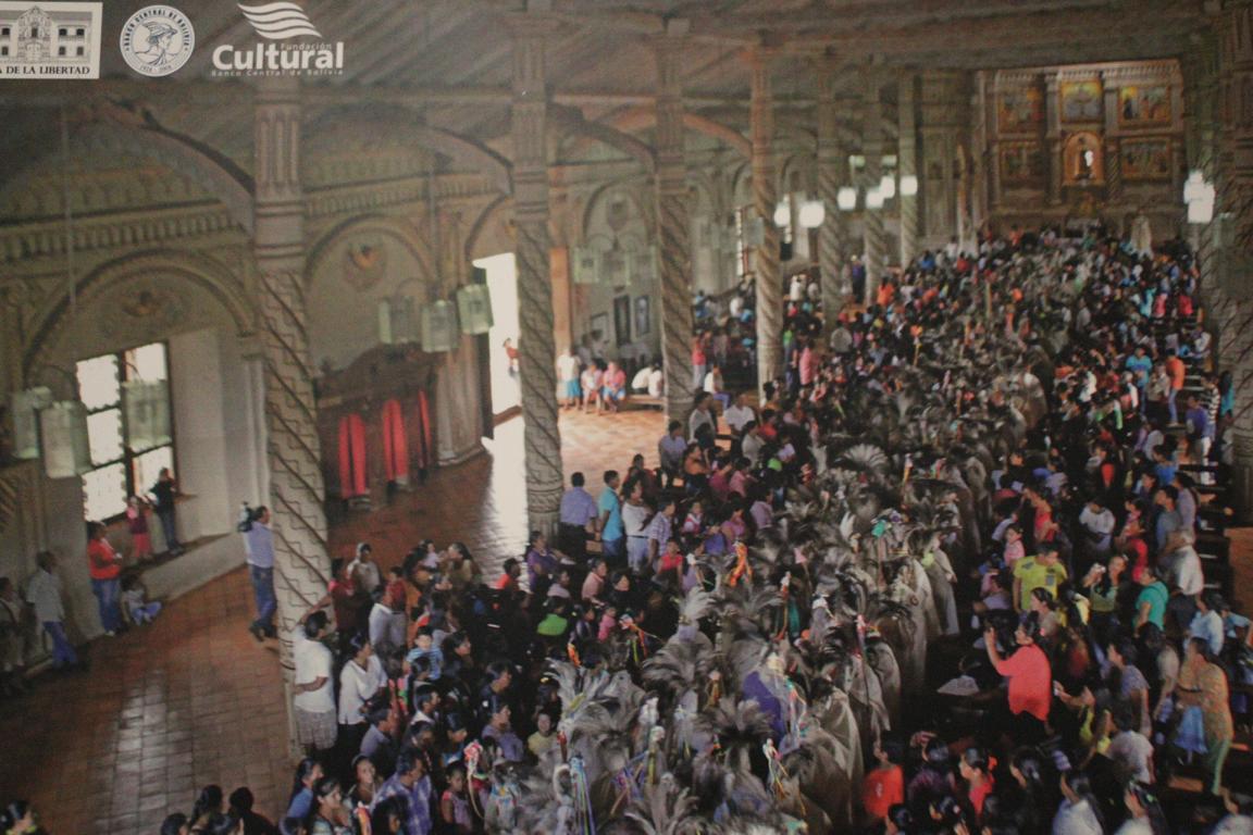
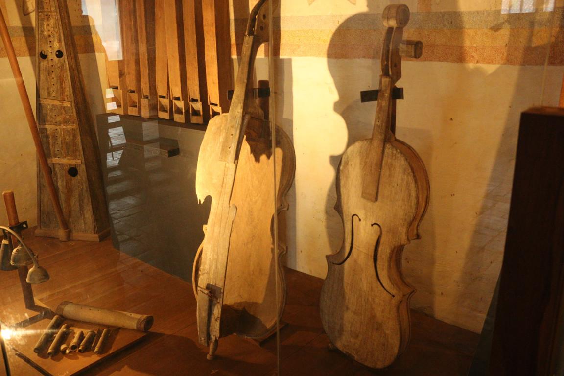
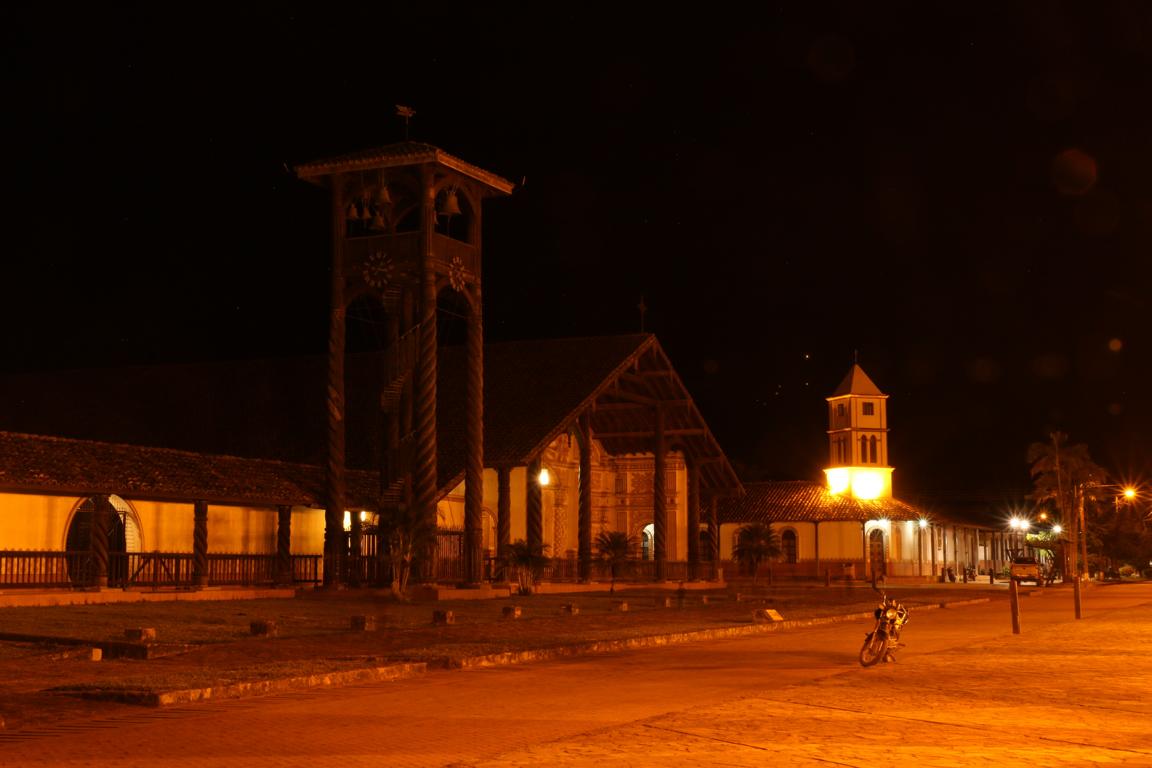
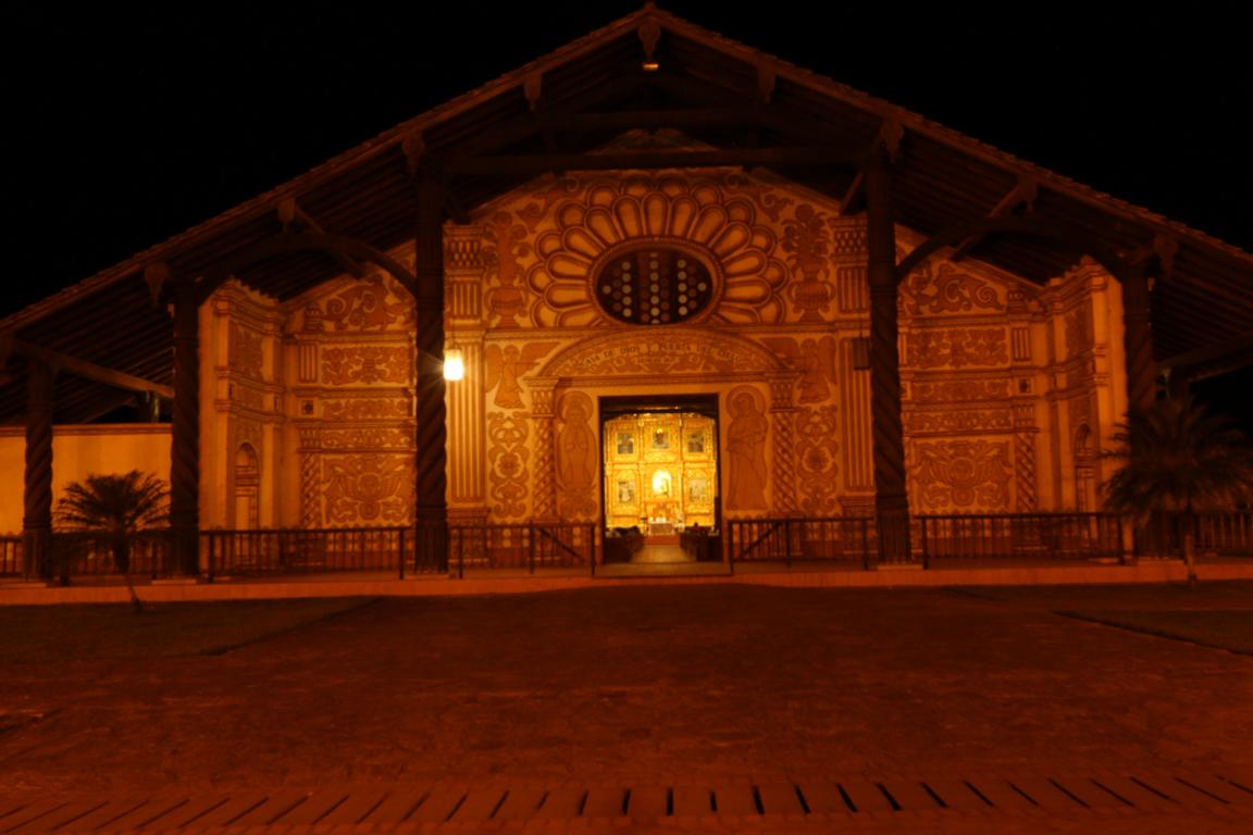
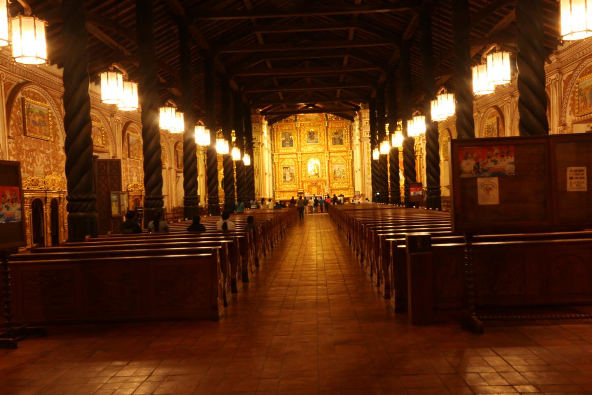
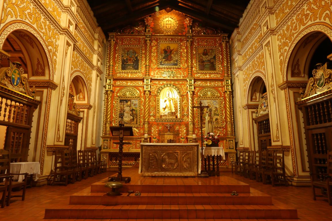
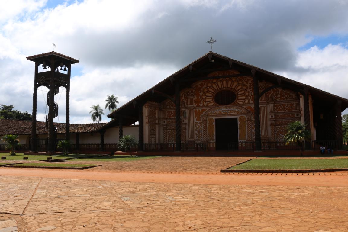
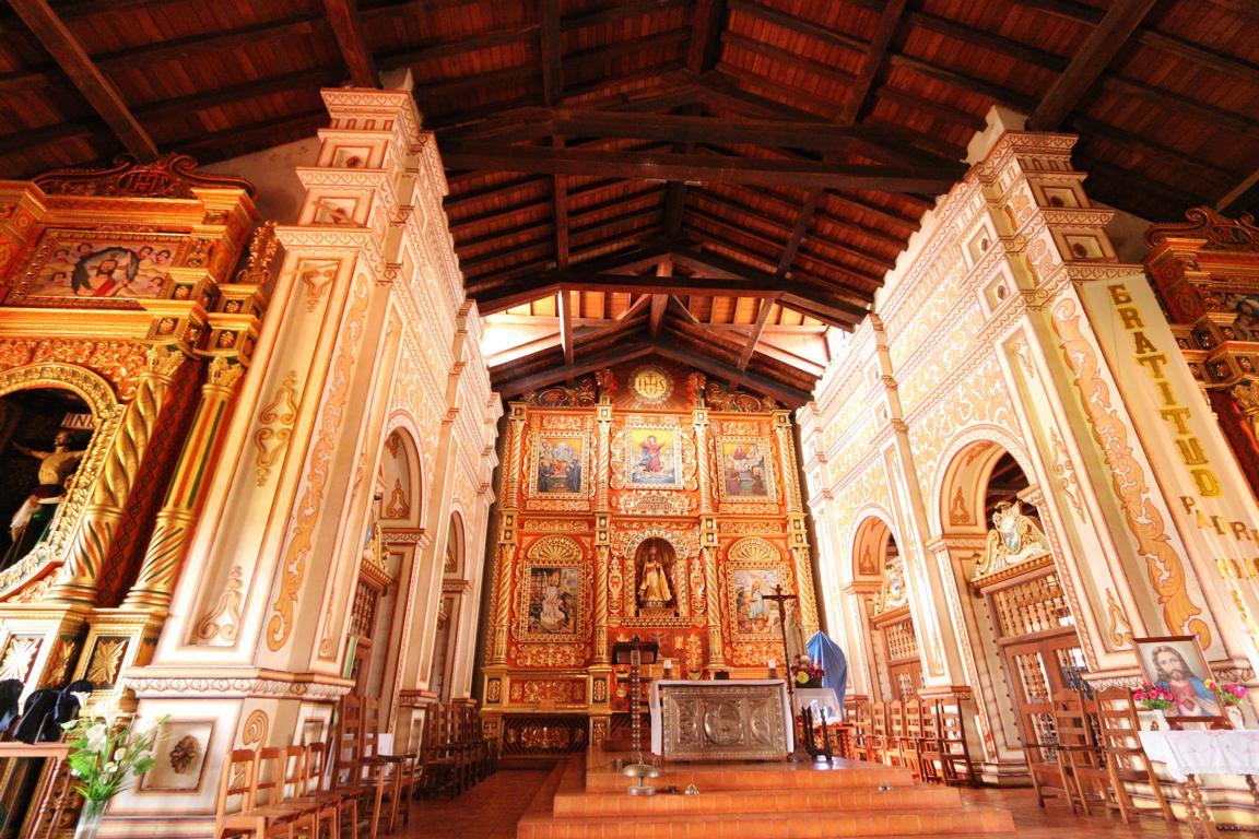
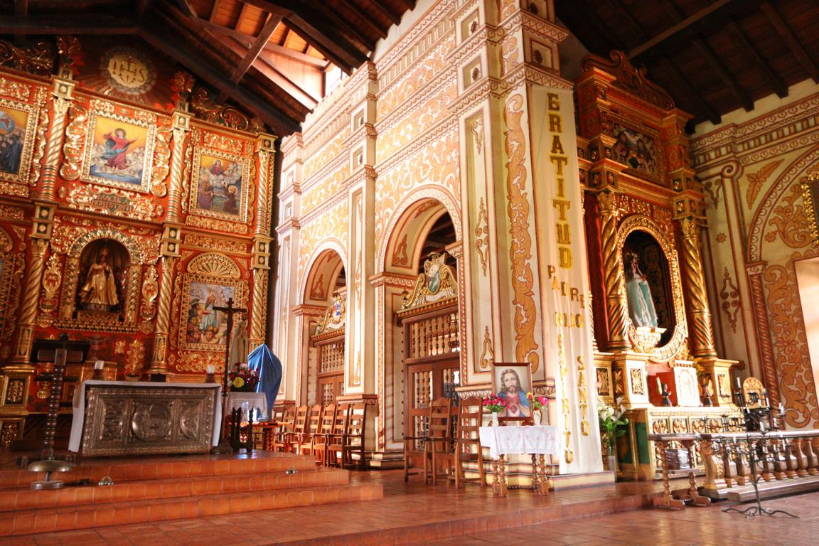
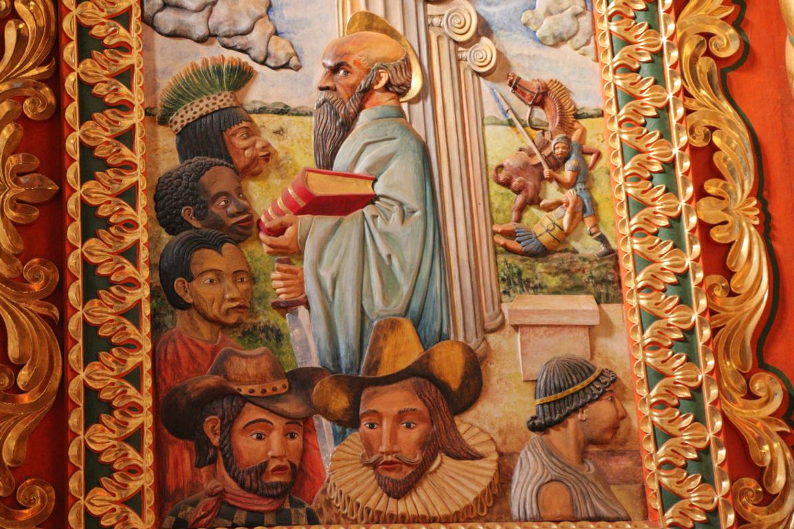
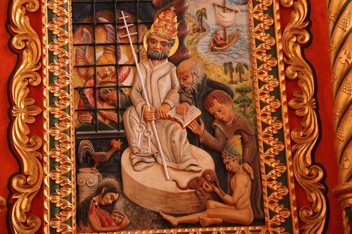
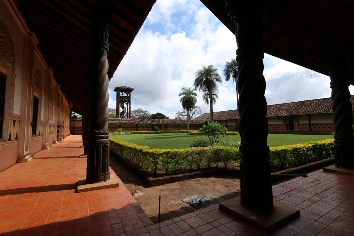
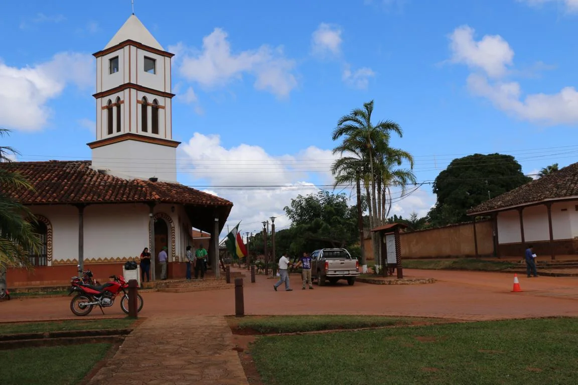
East of Santa Cruz lays the so-called Chiquitania consisting of a series of Jesuit missions established in the 17th and 18th century which have been declared UNESCO world heritage in 1990. While the missions’ main purpose was the conversion of the native population to Christianity missions also produced an amalgamation of European and native culture. With the intention to alleviate the standard of living Jesuit priests introduced and taught modern European technology as masons, carpenters, ironsmiths, locksmiths, shoemakers, tailors, millers, backers….. As the mission’s lead-architect was a Swiss Jesuit named Martin Schmid it is not a coincidence that churches resemble Swiss mountain chalets.
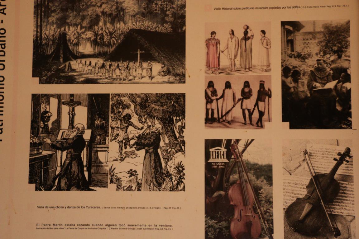
Music played an important element in attracting the indigenous population to cooperate. Slavery was strictly forbidden and land was dealt as common property which made it attractive for slaves of the neighbouring regions to flee to the missions. The “Jesuit mission state” somehow was the attempt to establish an utopian Christian/communist society.
As a result of a conflict between the Spanish king and the Jesuit order the Jesuits were expelled in 1767. The “Jesuit mission state” is the background of Fritz Hochwälder’s drama “Das Heilige Experiment” (“The Holy Experiment”) and the film “Mission” with Robert De Niro.
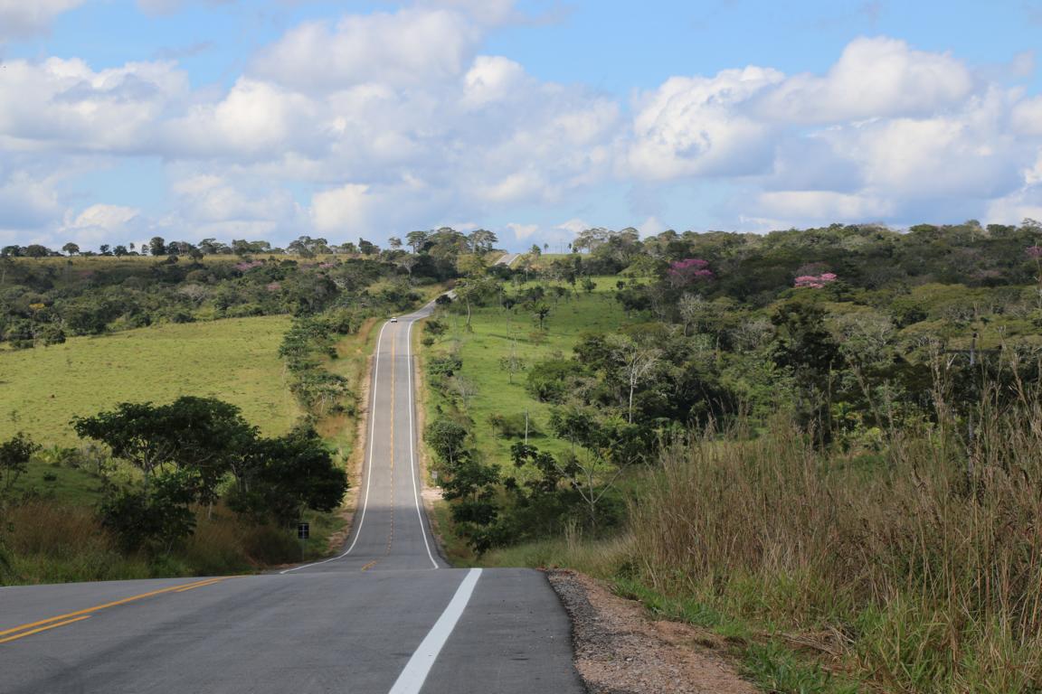
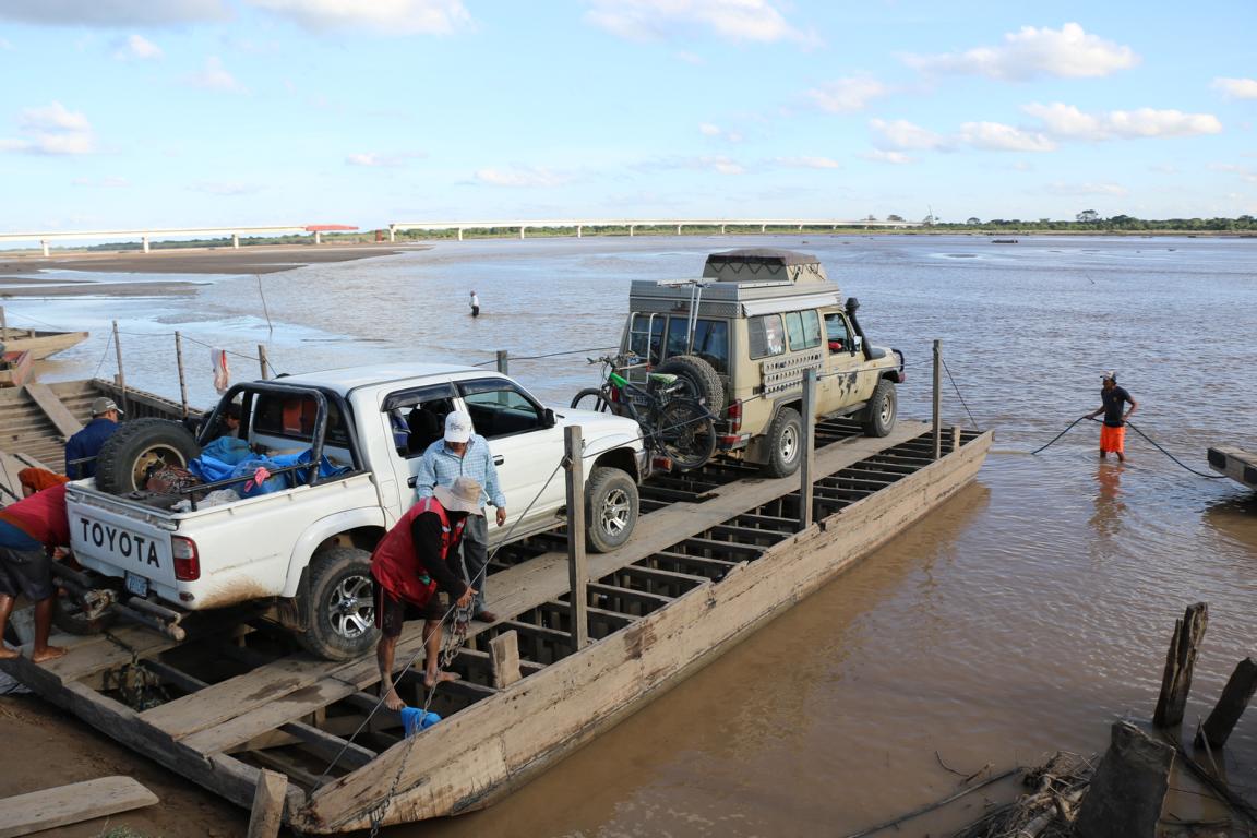
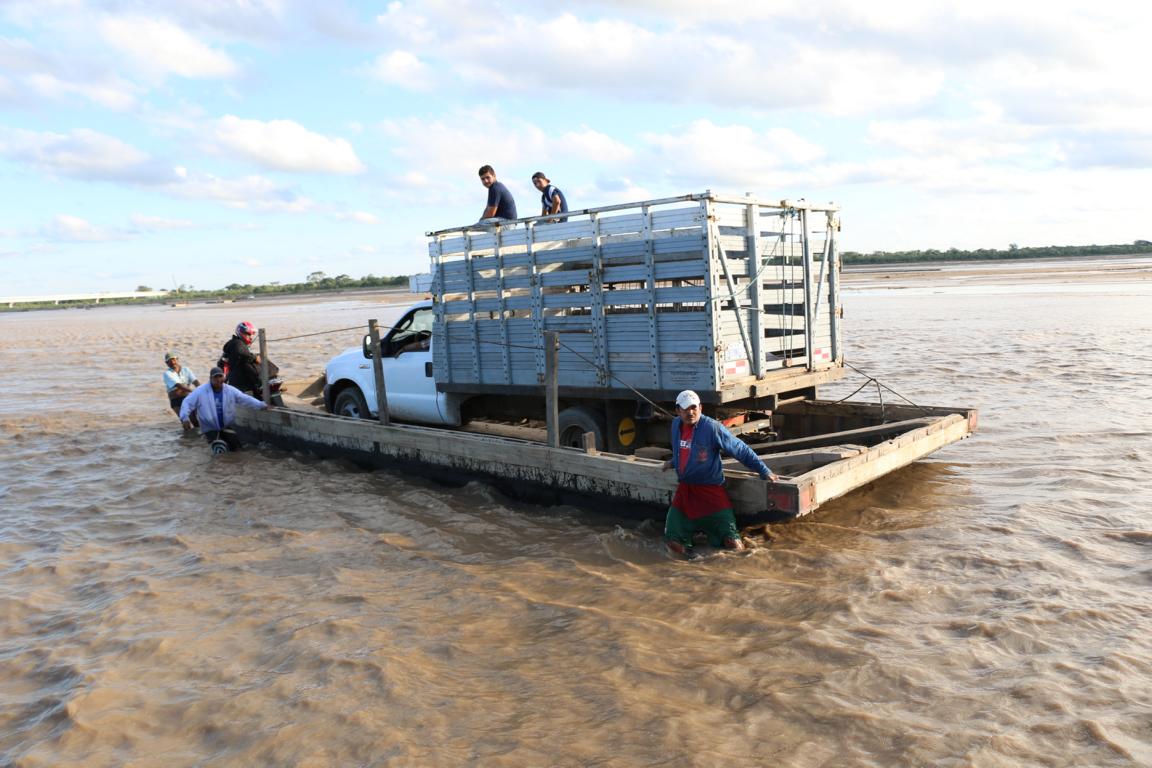
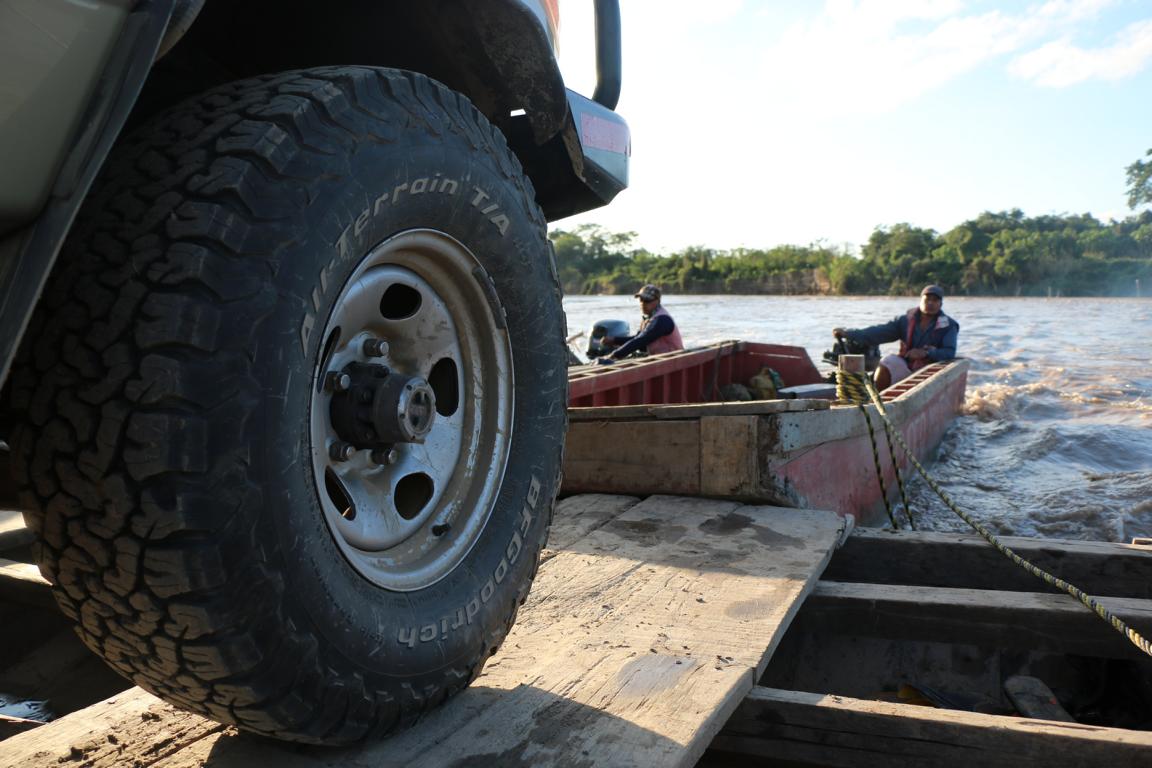
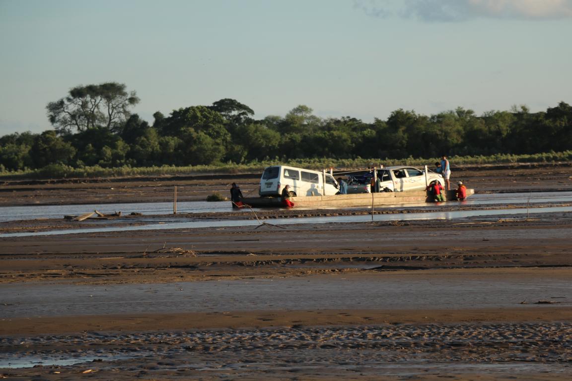
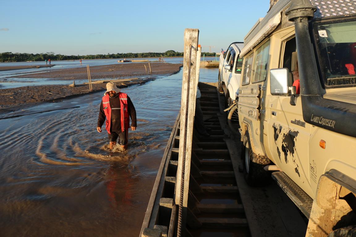
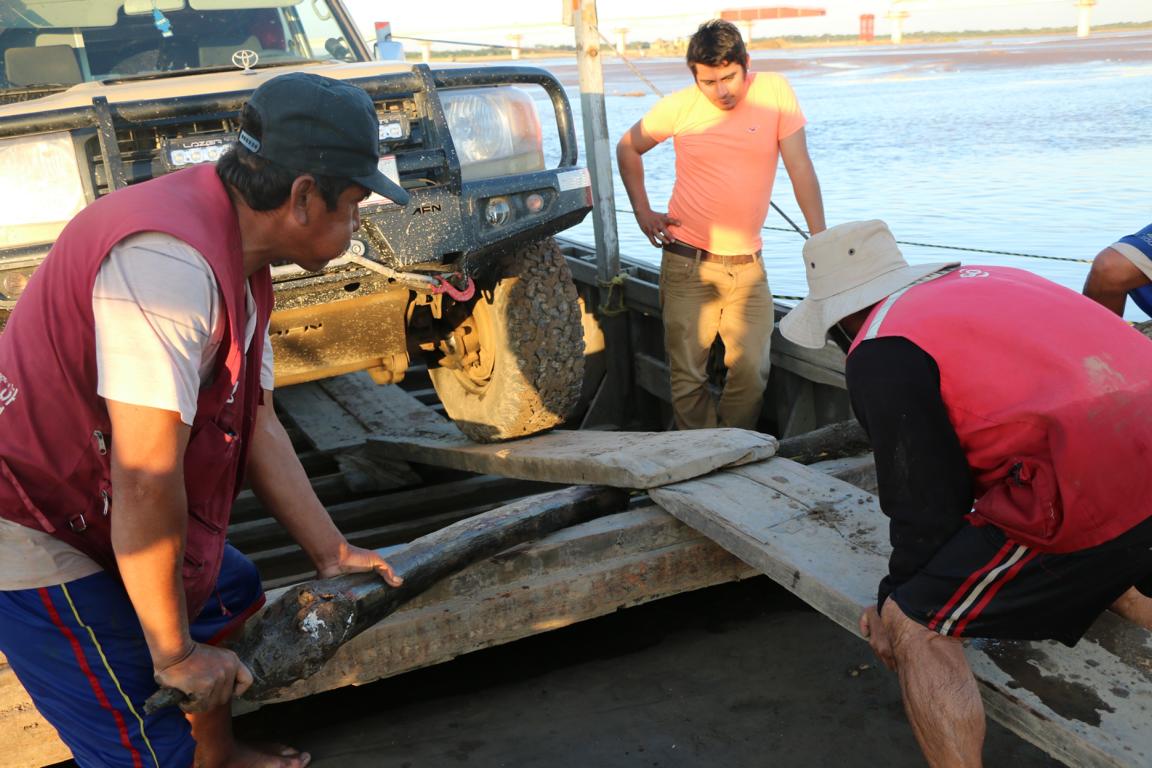
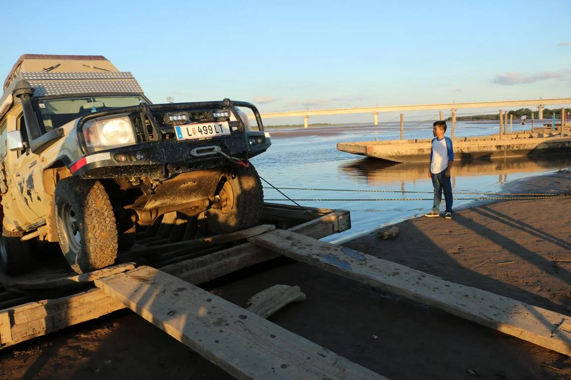
Driving the road from San Ramon to Montero one needs to cross the Rio Grande. As the bridge is still under construction cars need to be transferred by small wooden ferries pushed by men power or little motor boats. Crossing the river is particular difficult when the water level is low as one needs to change the ferry in the middle of the river. An obvious challenge was getting the car on and off the boats.
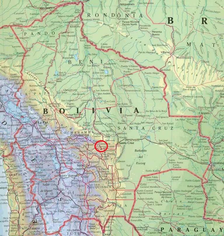
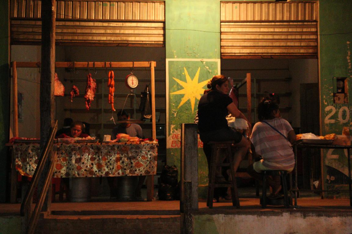
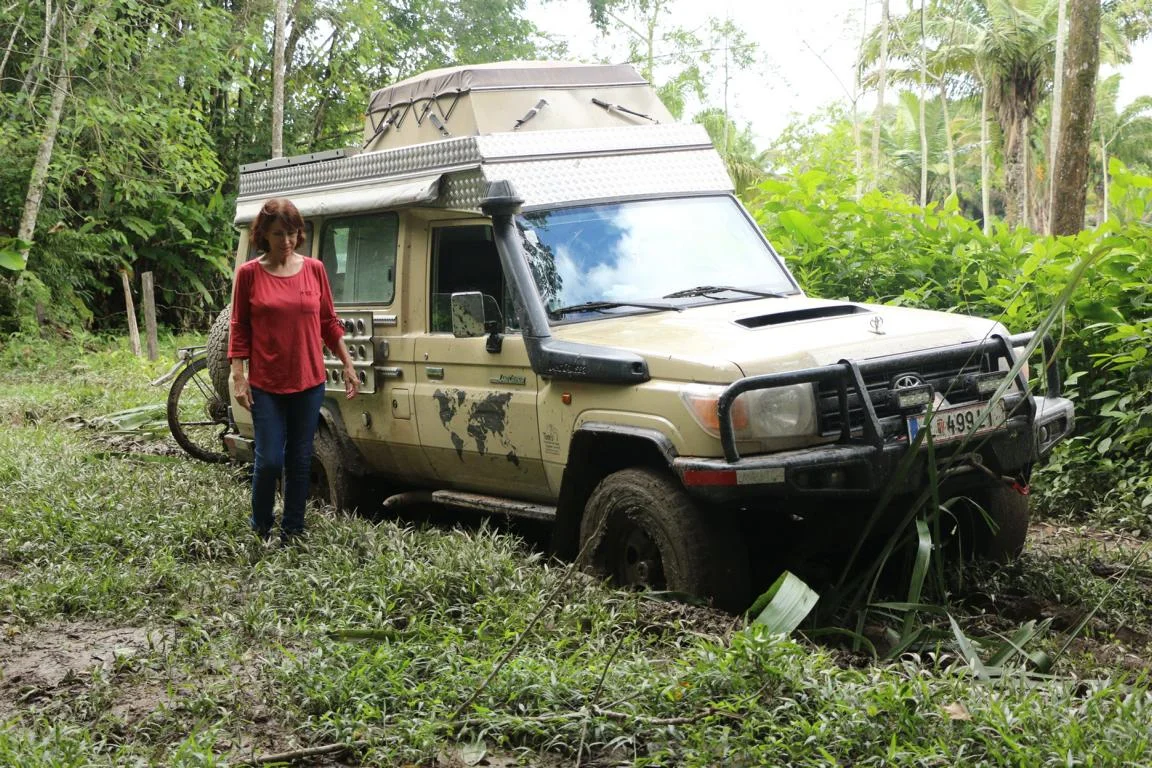
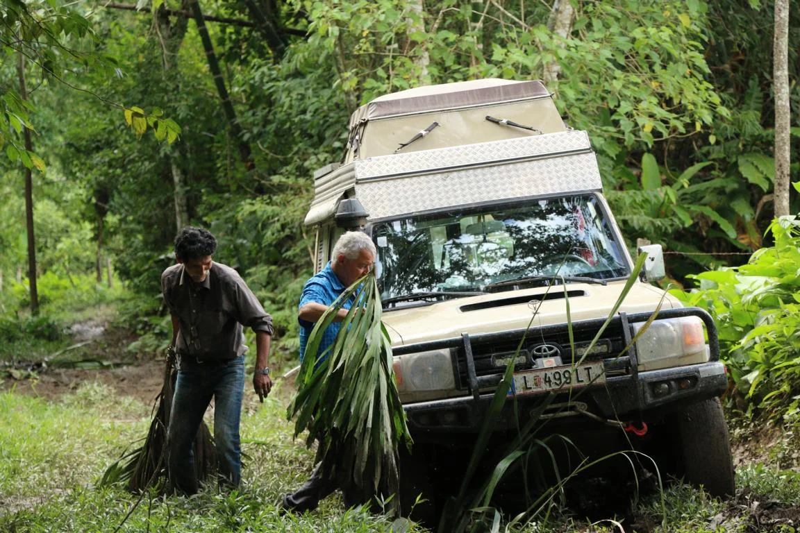
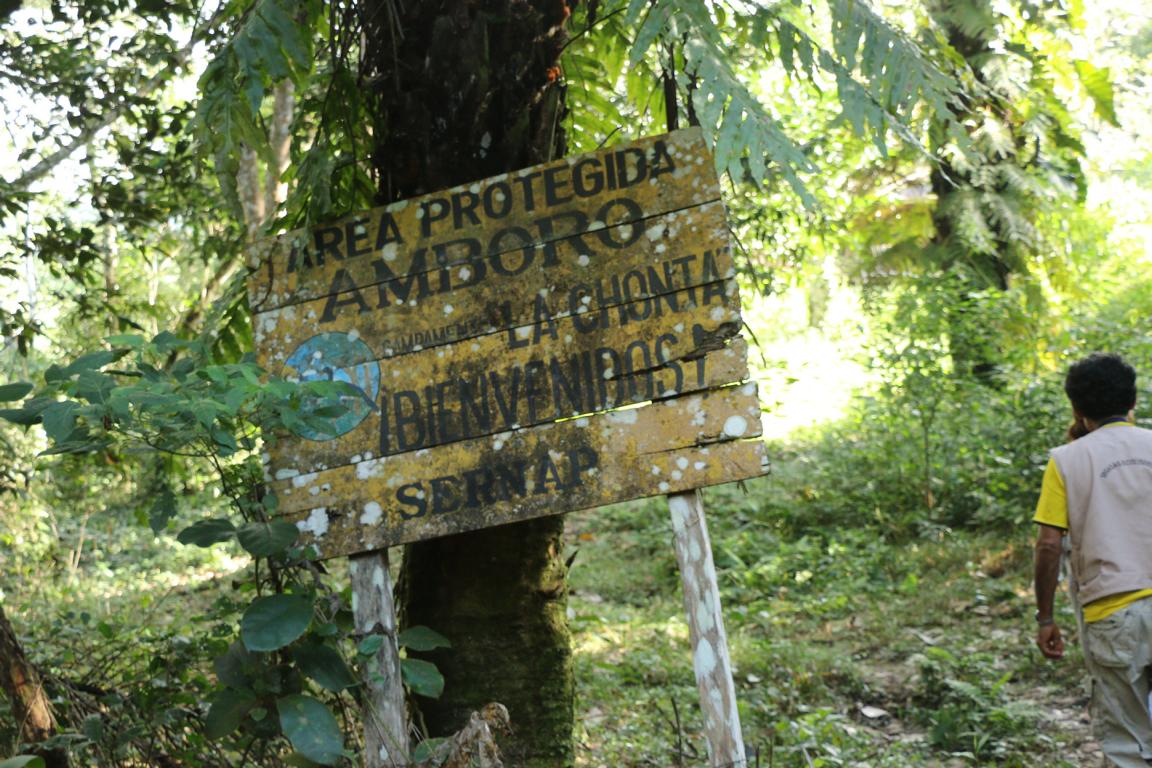
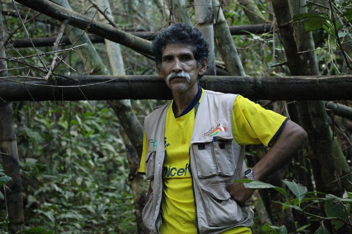
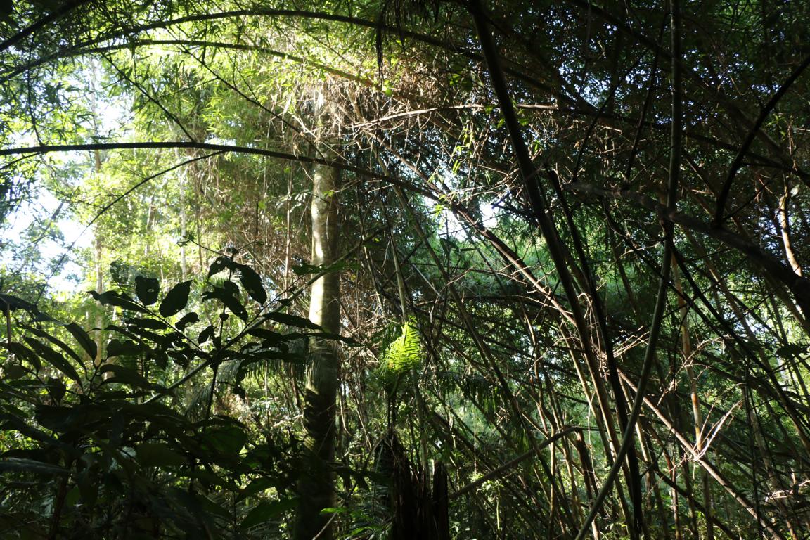
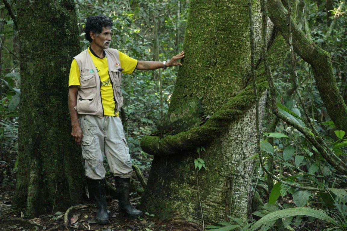
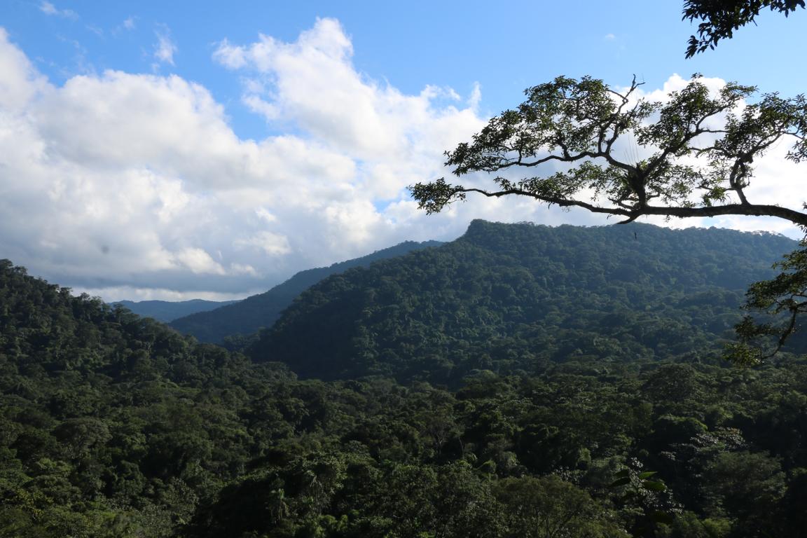
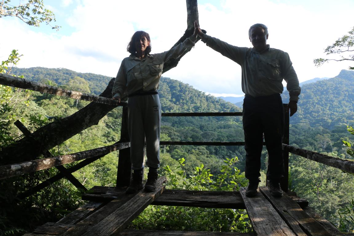
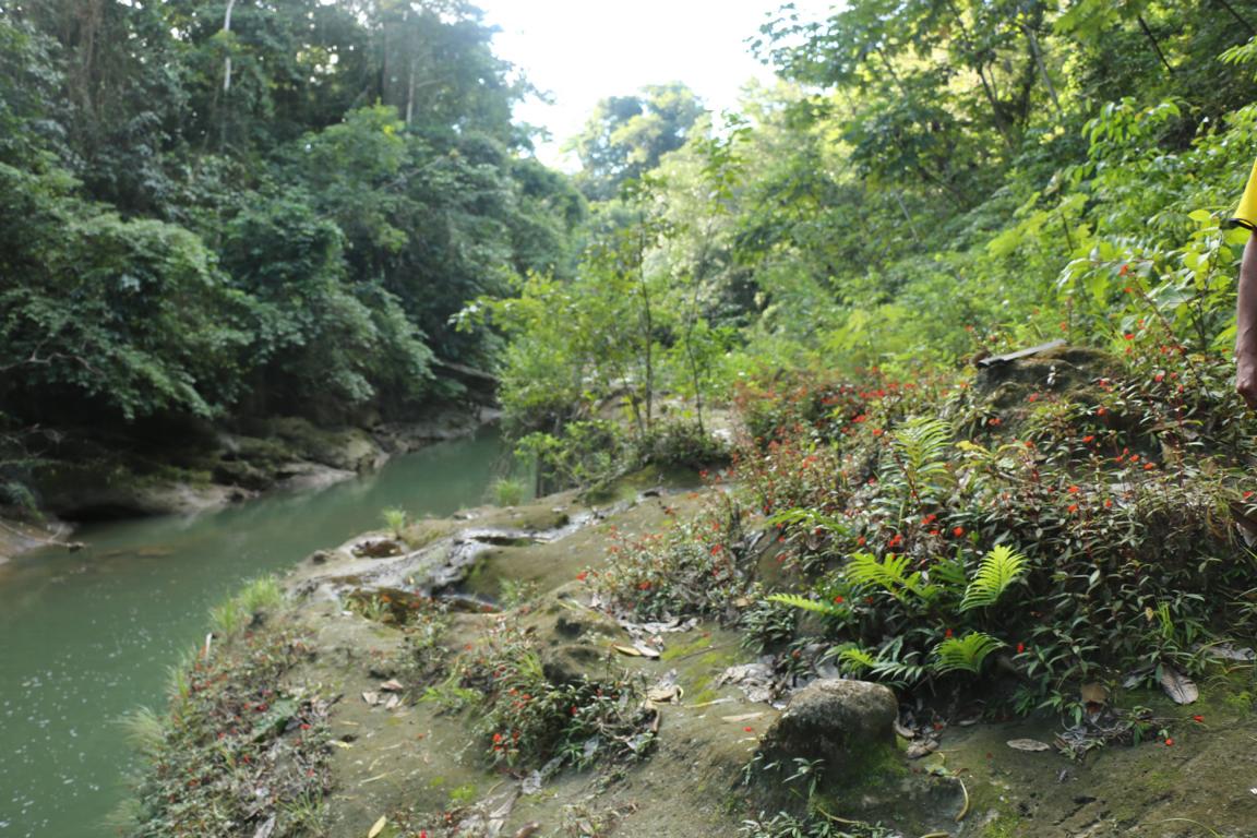
The small town of Buena Vista is one of the entry points to the Amboró National Park. Clara and I choose not to follow with the main tourist trail but instead to relay on the local communities and to visit a part of the park called La Chonta.
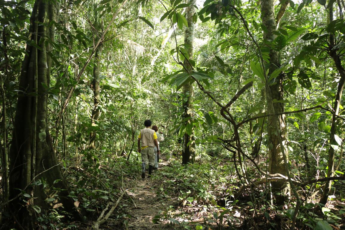
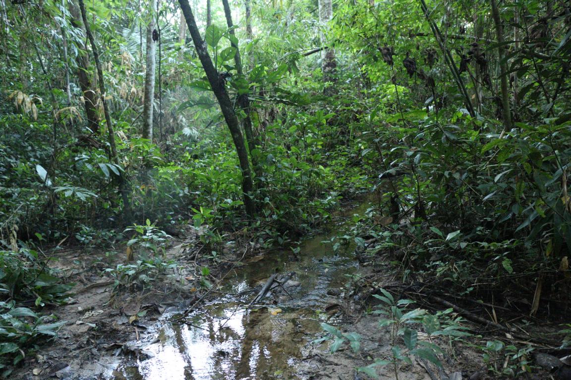
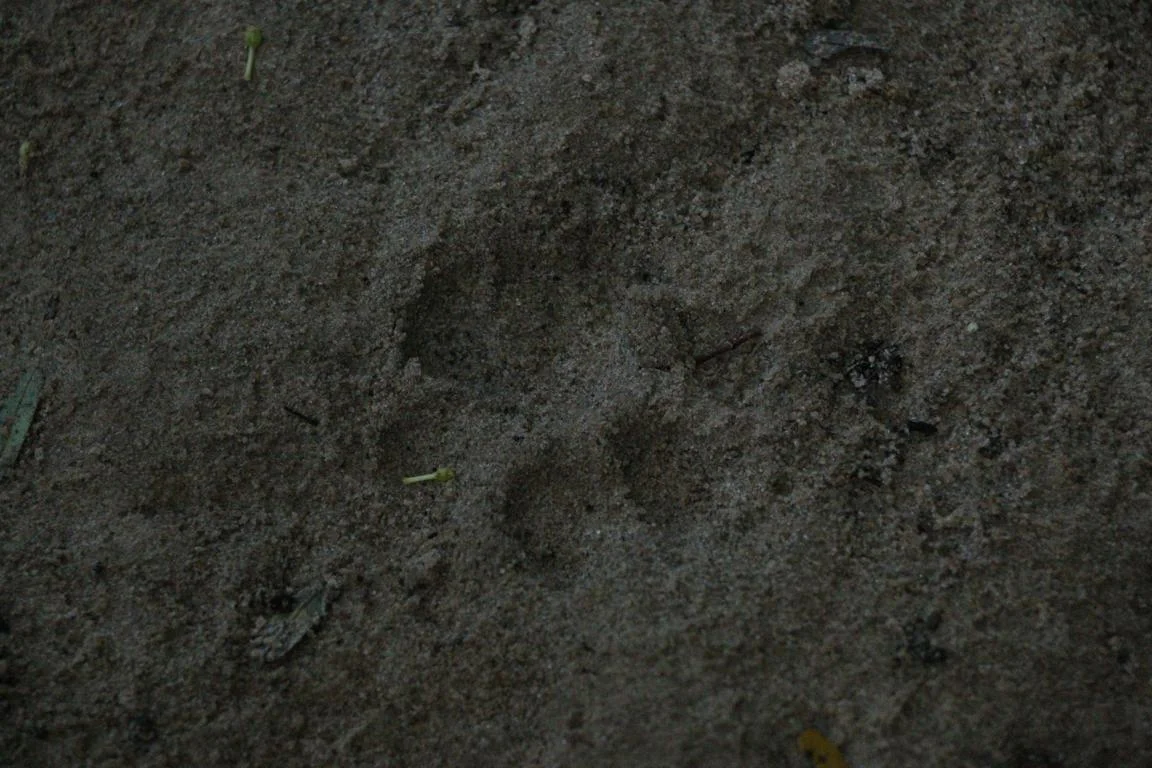
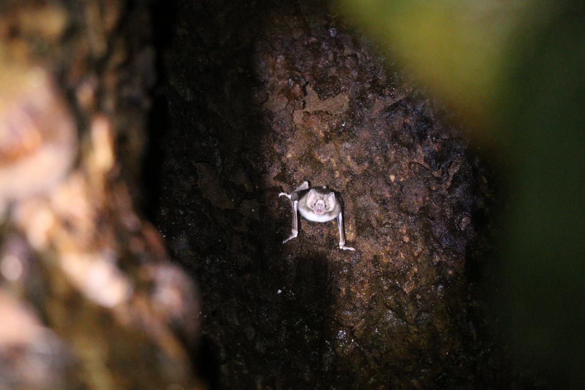
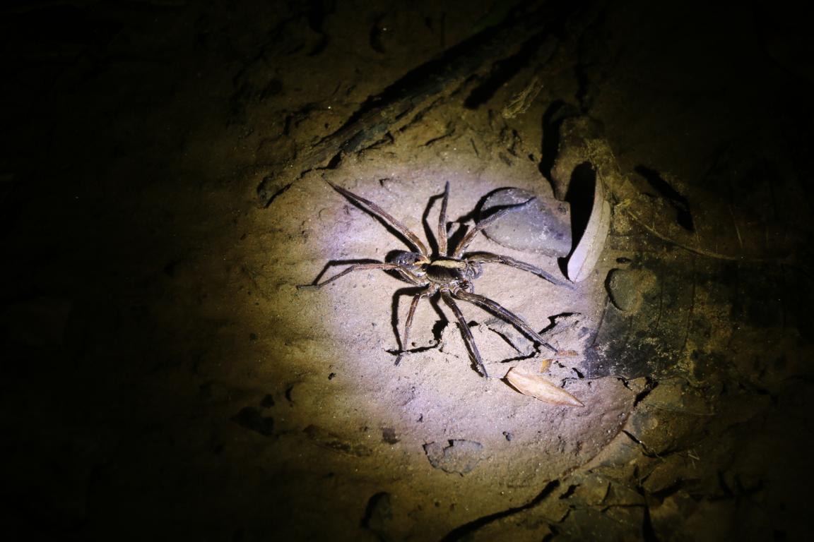
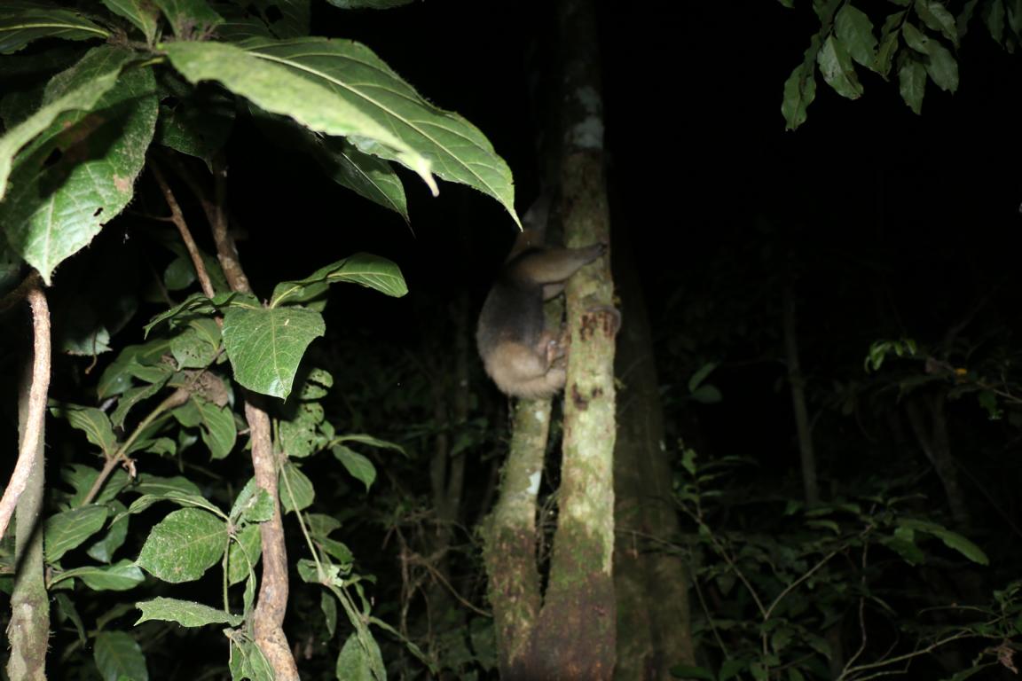
The Parque Nacionál Amboró is one of the most botanically richest parks in the world. The current number of documented plant species totals around 3,000 (Wikipedia). Large mammals are jaguars, pumas, anteaters and tapirs. As usual in the jungle you hardly see any big animals (but they might see you). At least we encountered fresh traces of a puma and at night an anteater. Travelling the jungle road was quite challenging and unfortunately I broke the bike carrier and the bike as they got stuck in the heavy mud ☹.

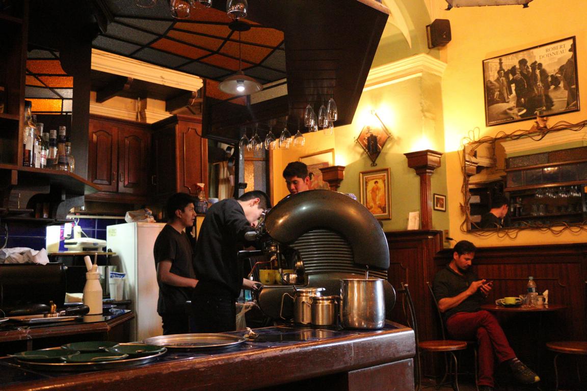
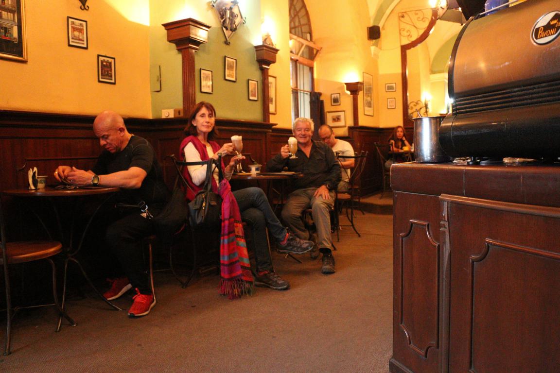
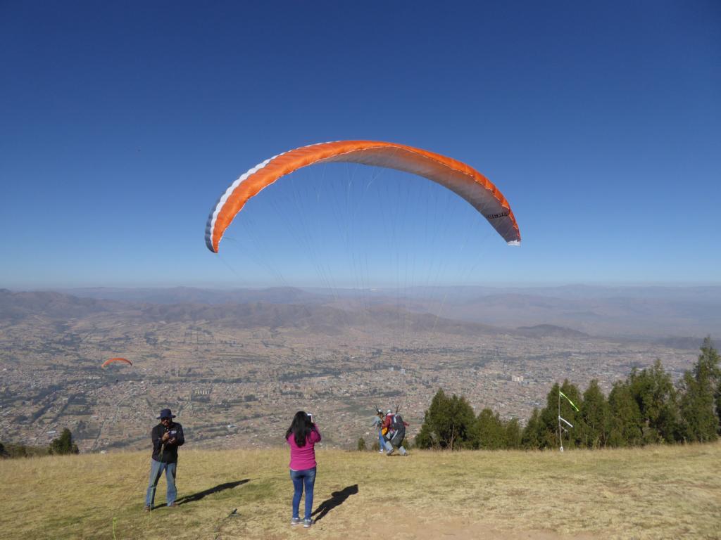
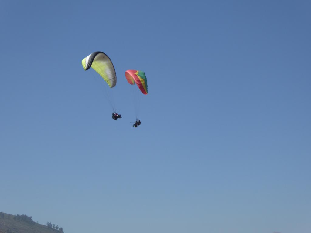
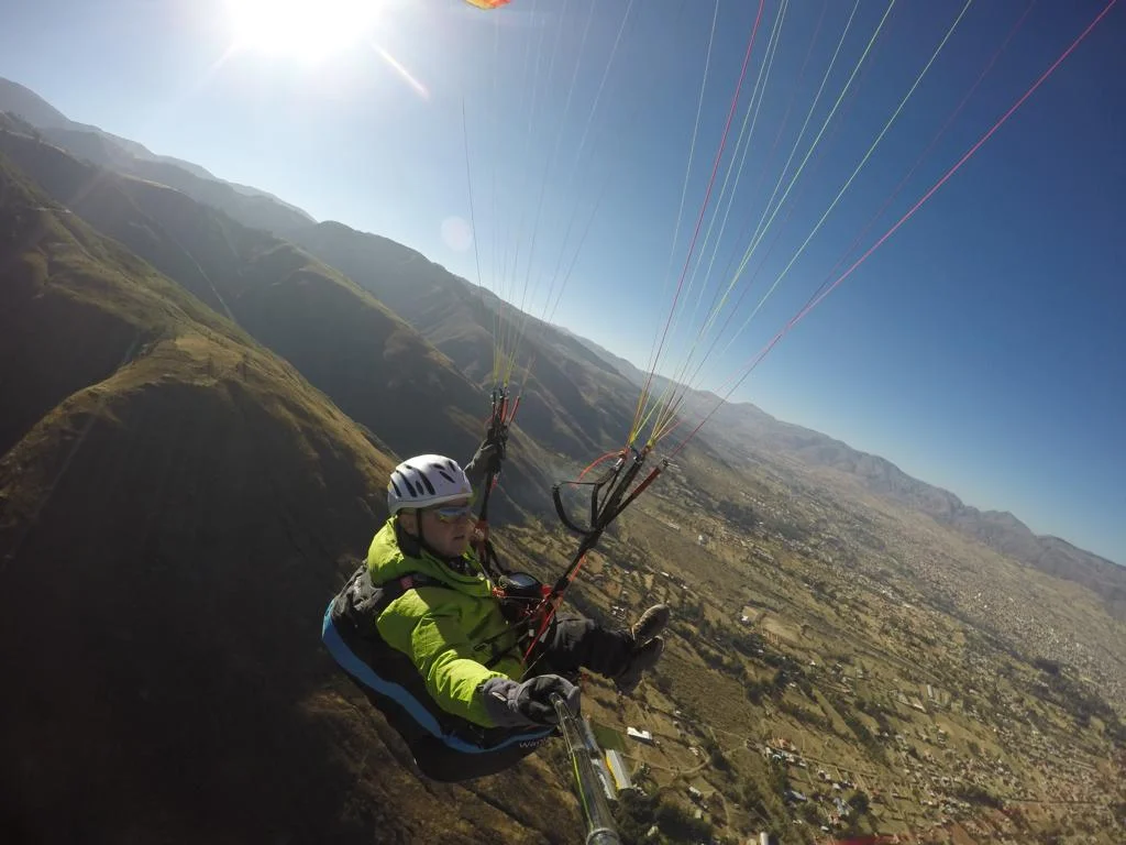
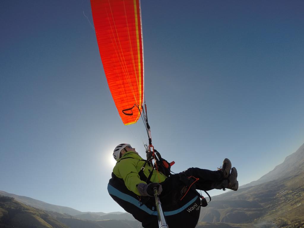
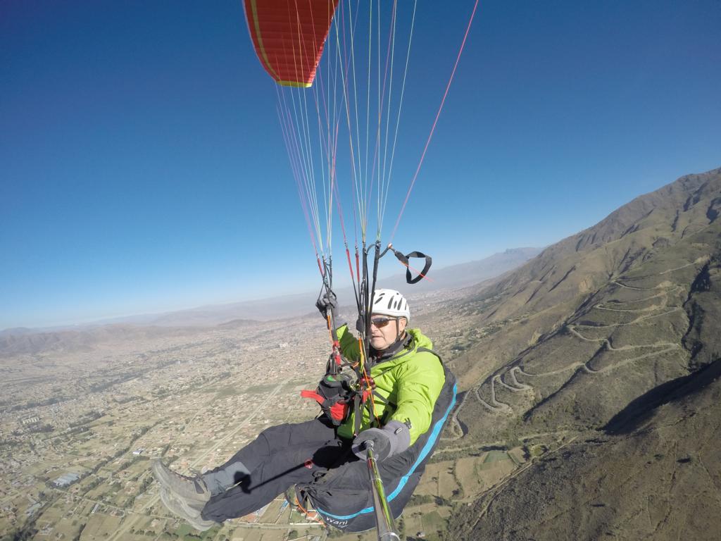
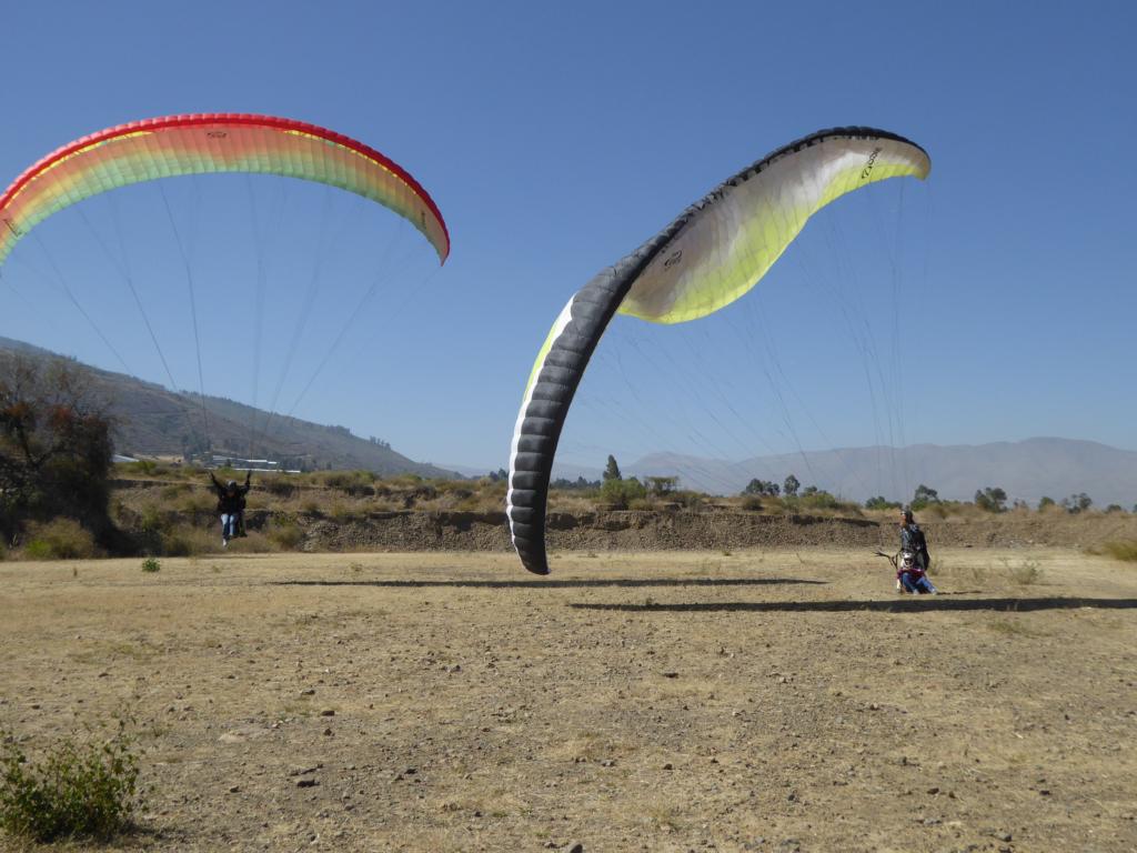
The city of Cochabamba (610,000 inhabitants, located at 2,825 m) for a long time served as the bread baskets for the Potosí mines. It was in the Café de Paris in the centre of Cochabamba where – for the first time after many weeks – I was able to drink real good coffee 😊. Cochabamba also has the reputation of being Bolivia’s best paragliding site. As there was winter unfortunately there weren’t many thermals but tandem flights are never the less popular as birthday presents.

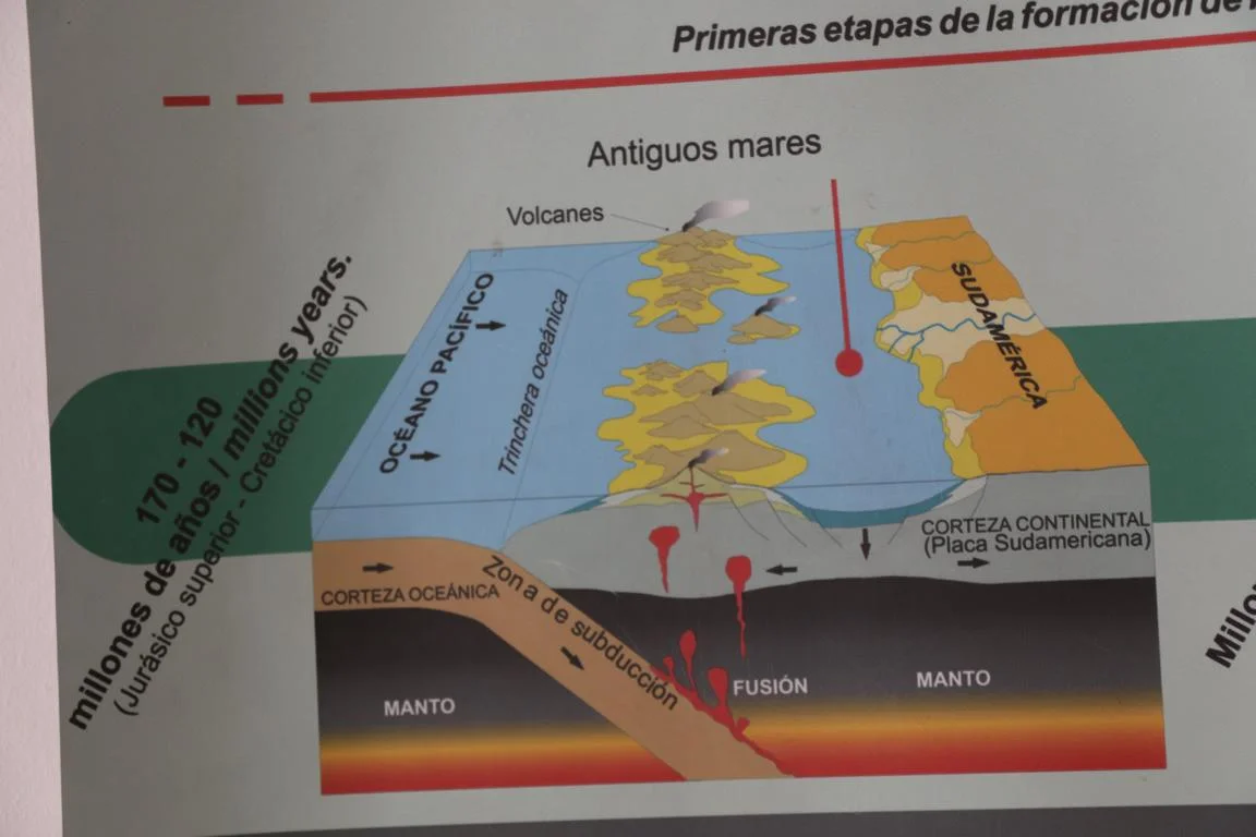
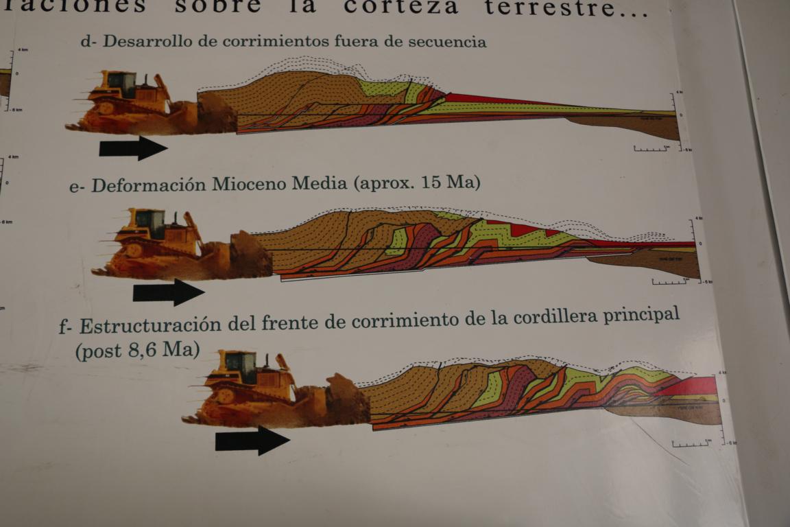
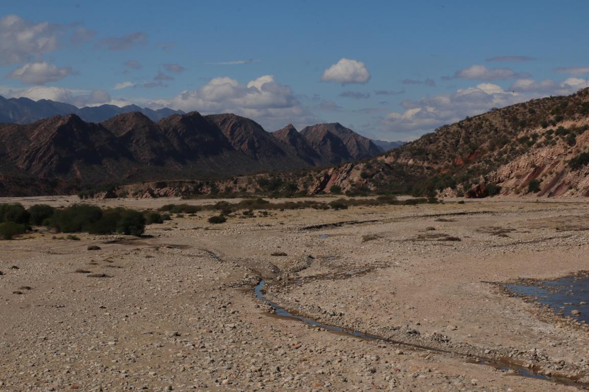
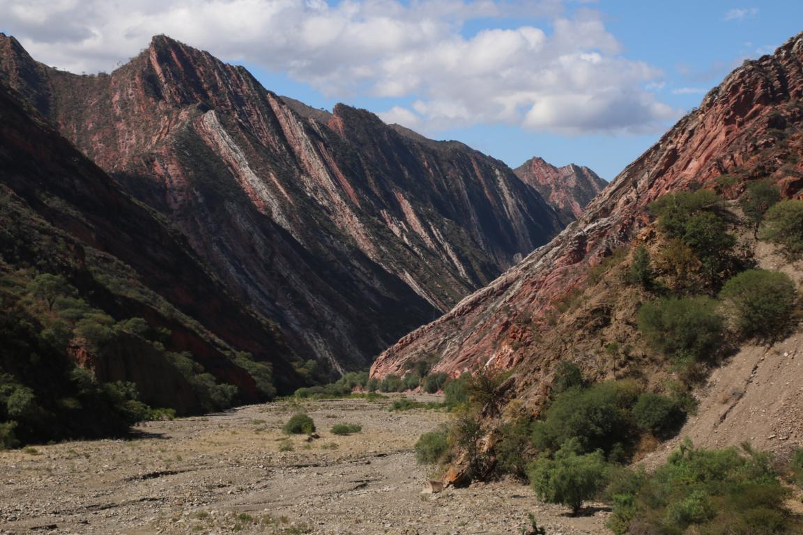
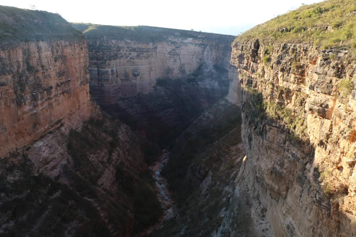
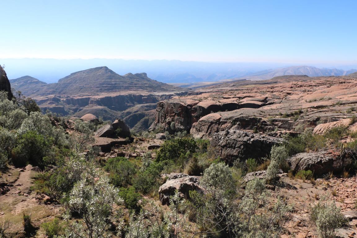
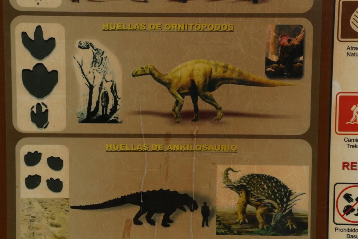
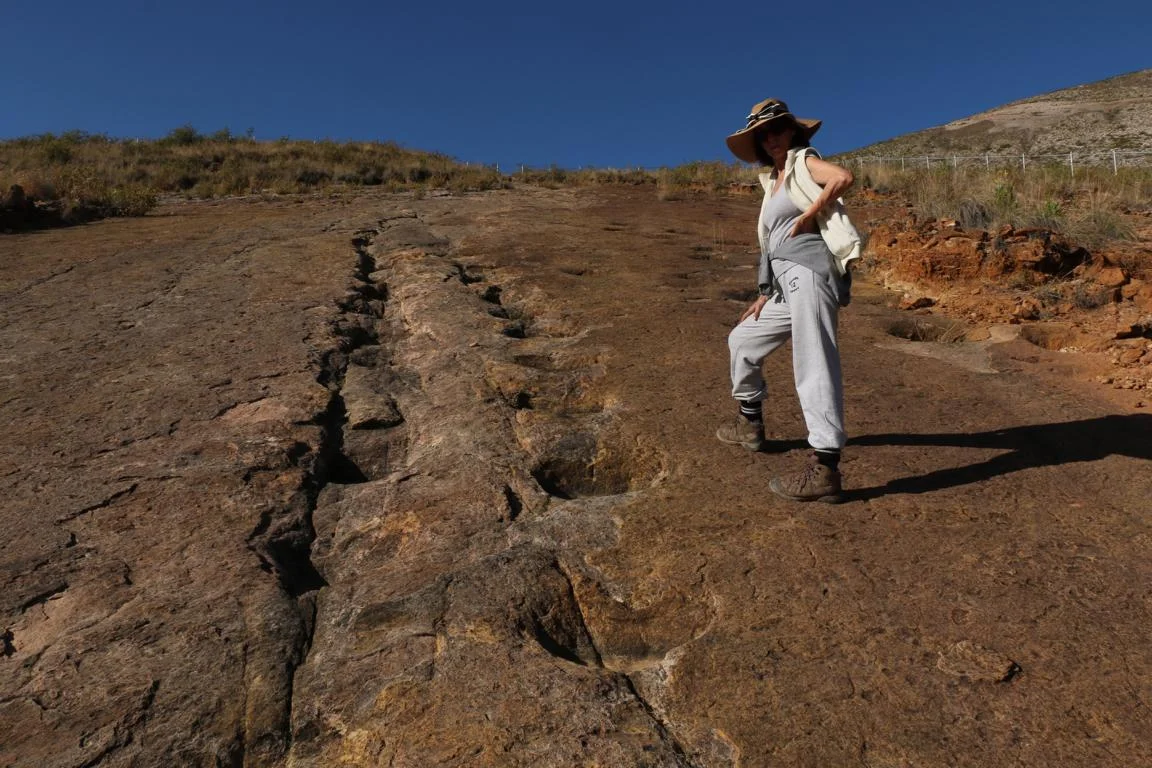
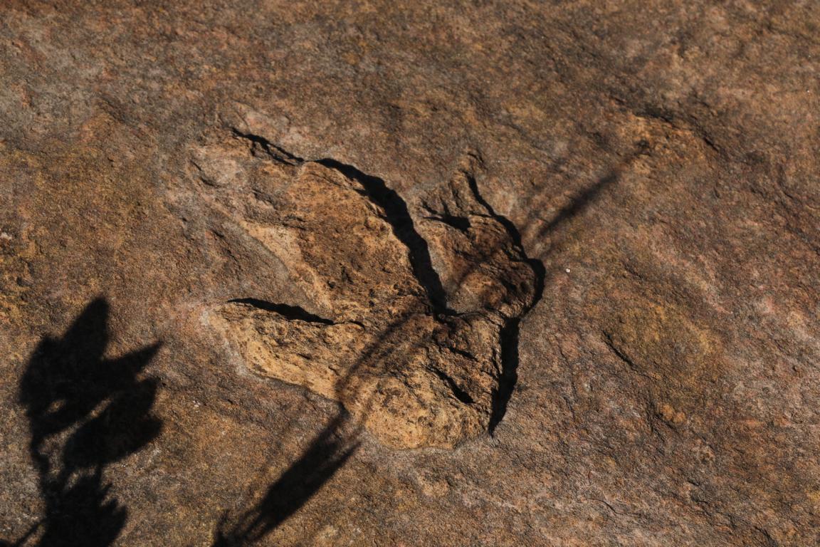
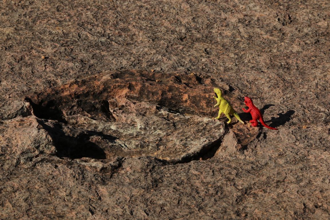
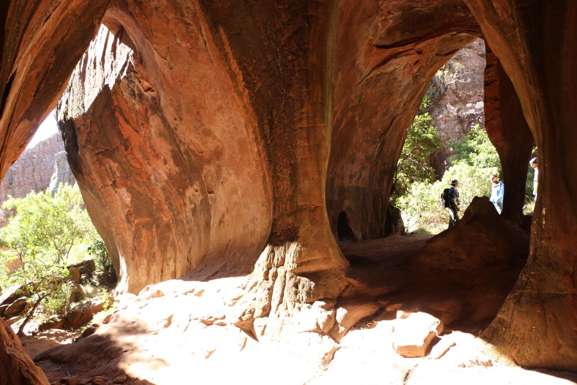
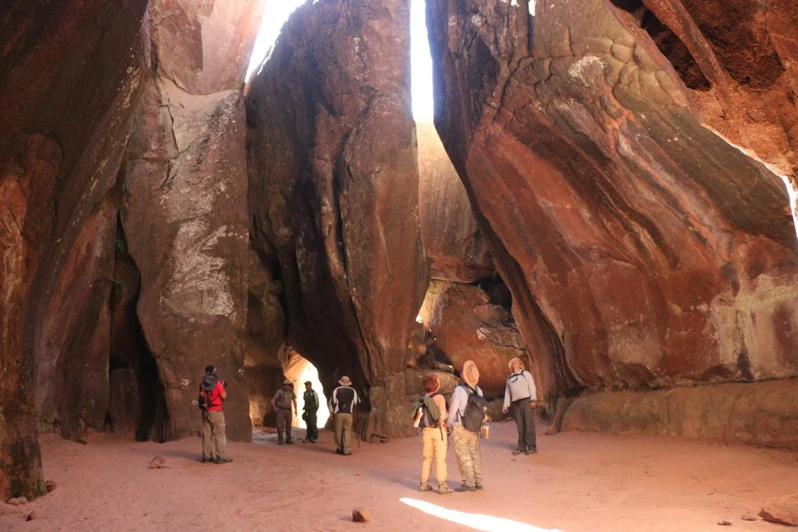
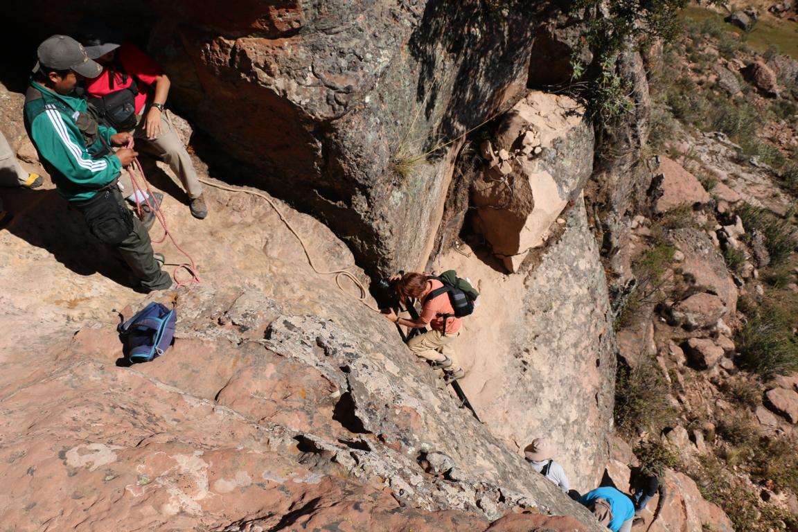
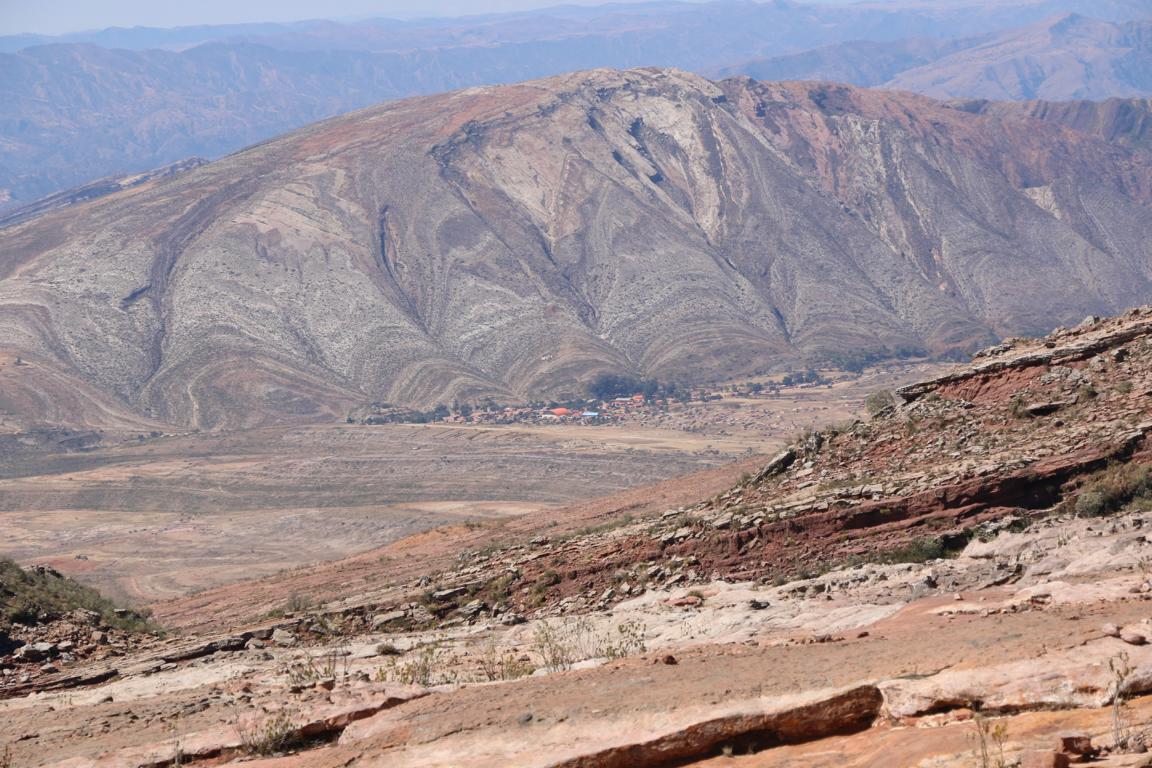
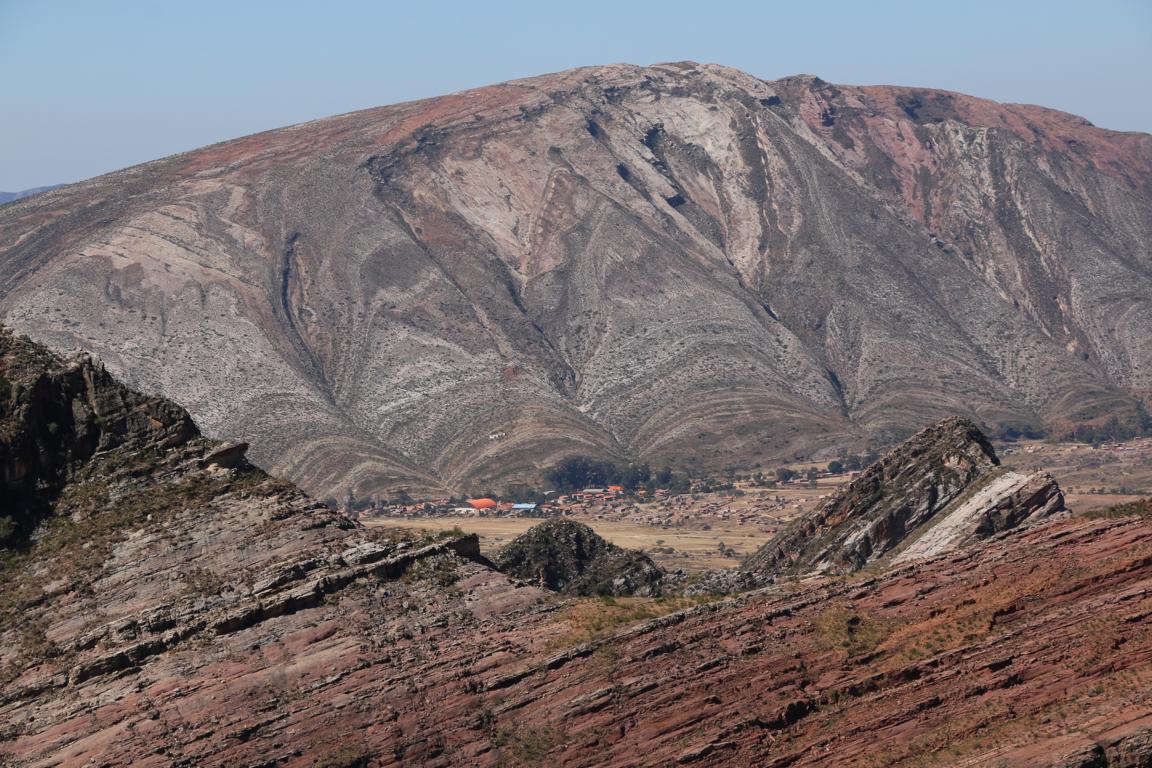
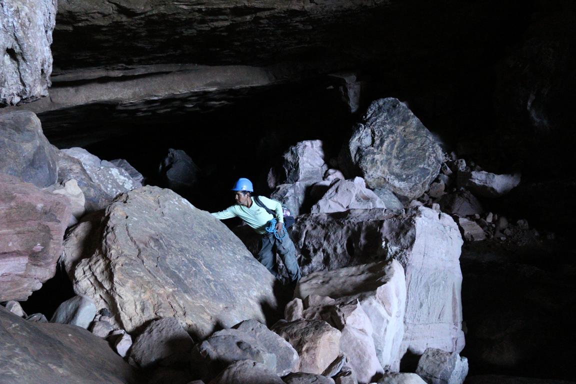
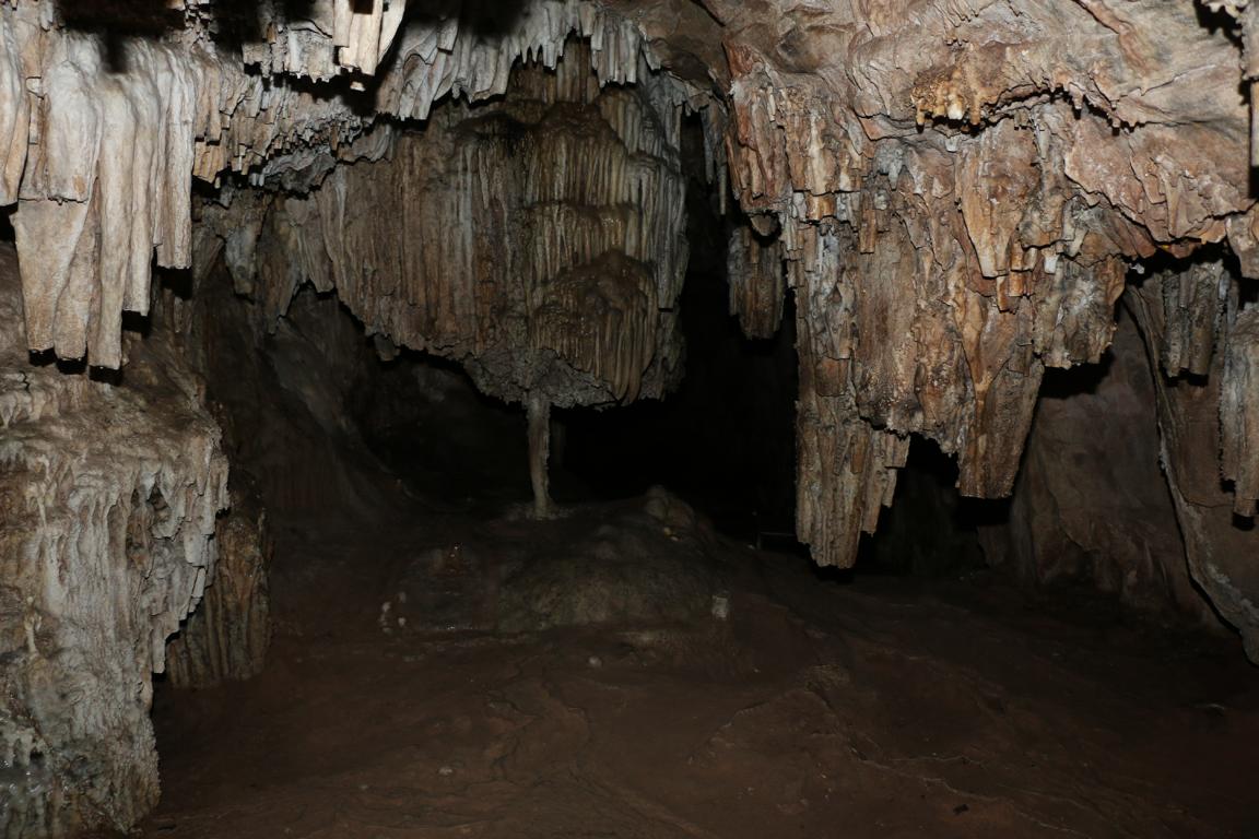
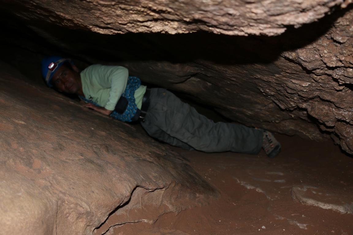
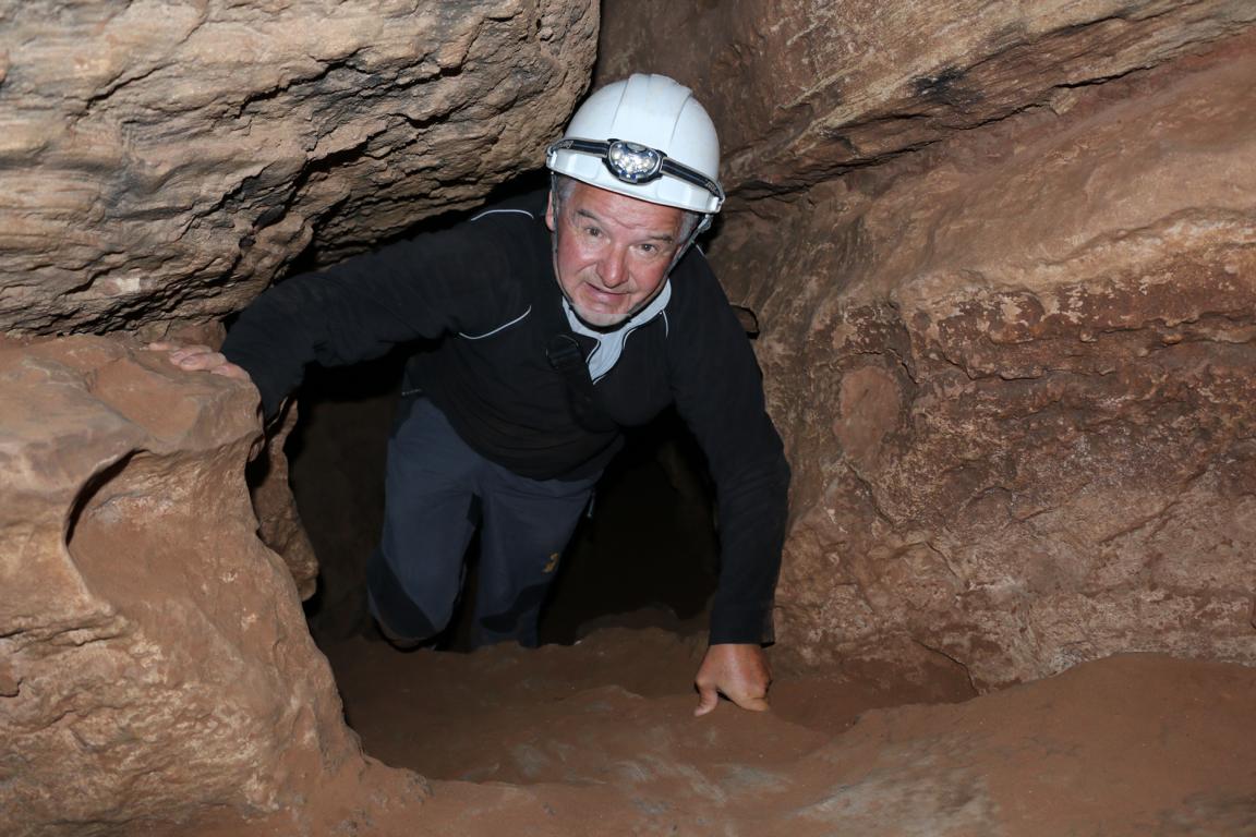
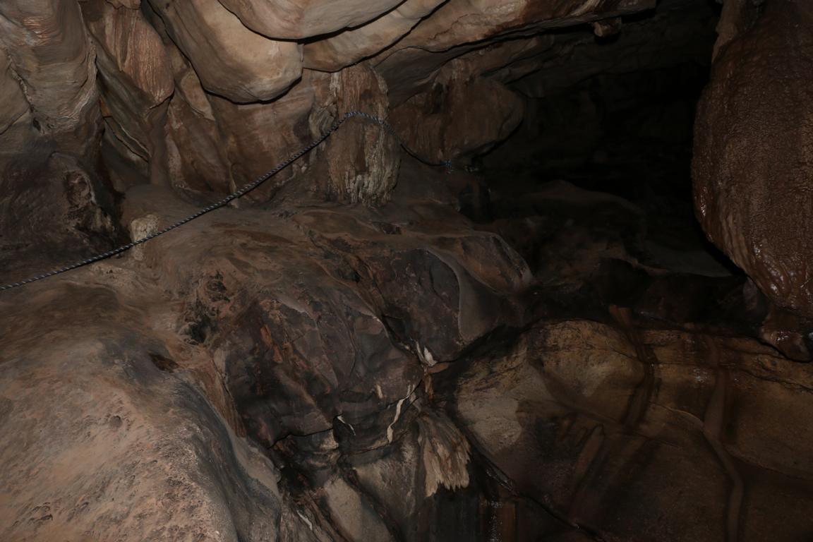
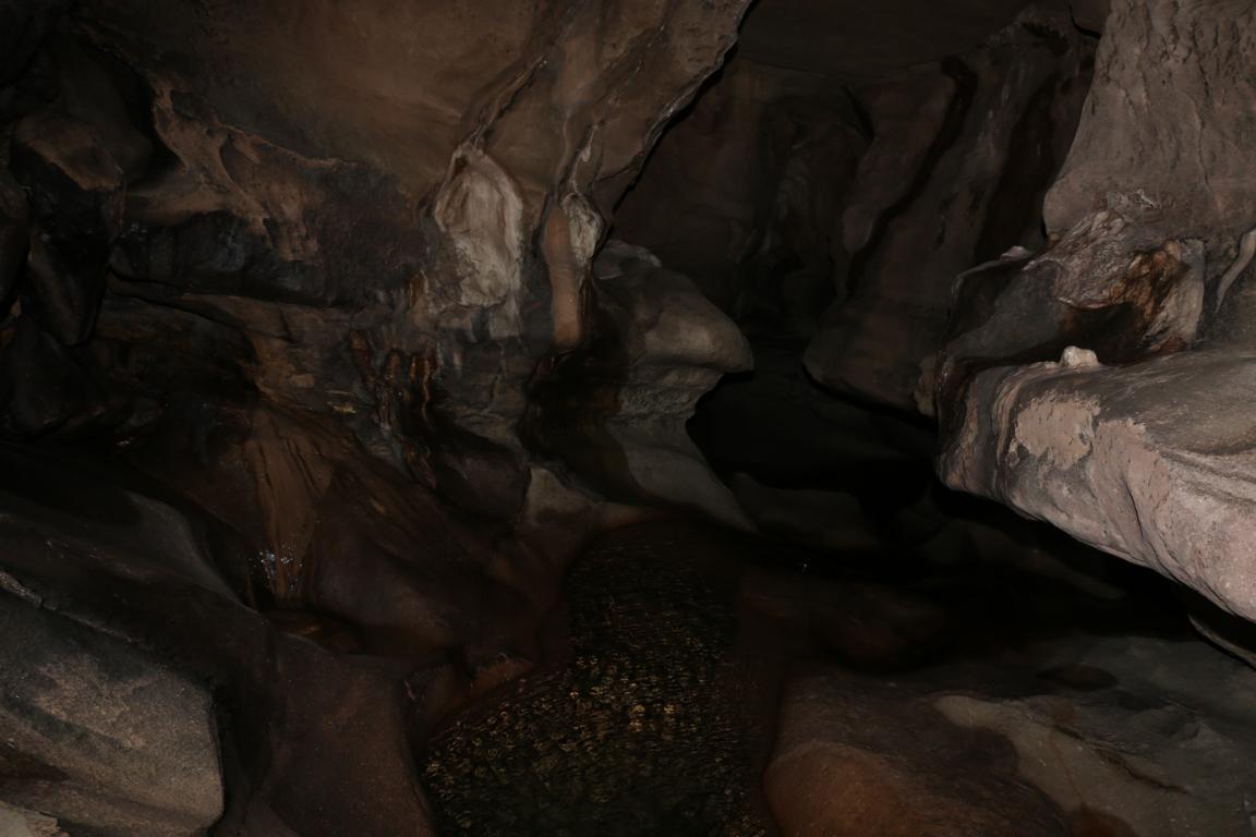
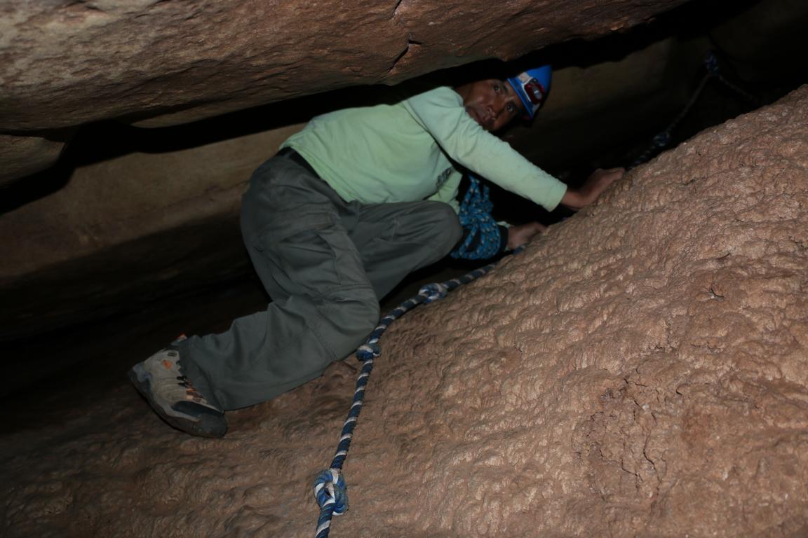
From Cochabamba it is a four-hour drive to the Torotoro National Park (165km2). The semi-arid park comprises of the Vergel canon and a number of mountain ranges. What is today located at 3,800 m (!) of altitude 120 million of years ago was at sea level and constituted the eastern coastline of South America (see the two pictures explaining the geological process). Consequently one finds more than 2,500 petrified foot prints of dinosaur which once were wading through the mud of the ocean shore. The “City of Itas” are caves formed by the ocean waves. The Uma Jalanta cave is four km long and 164 m deep. It takes two hours of walking and crawling to complete the part (a circuit) which is open to the public.
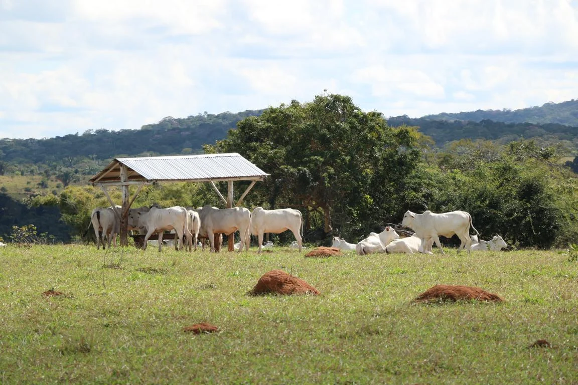
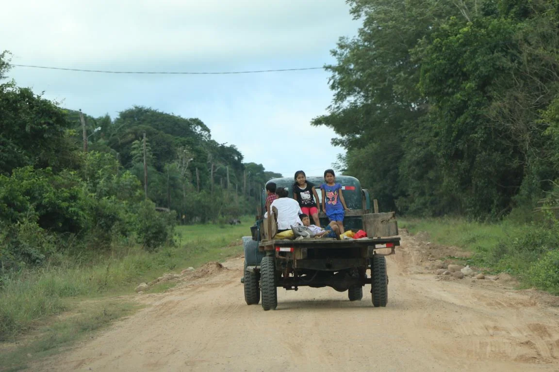
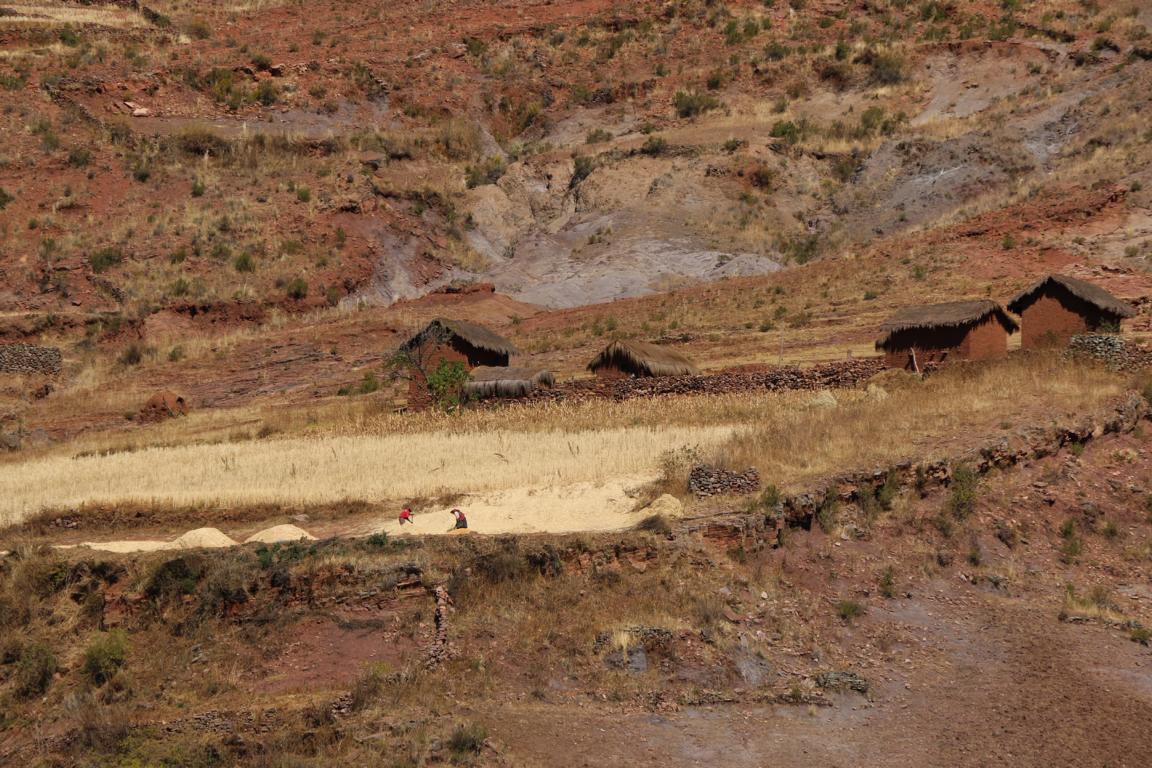
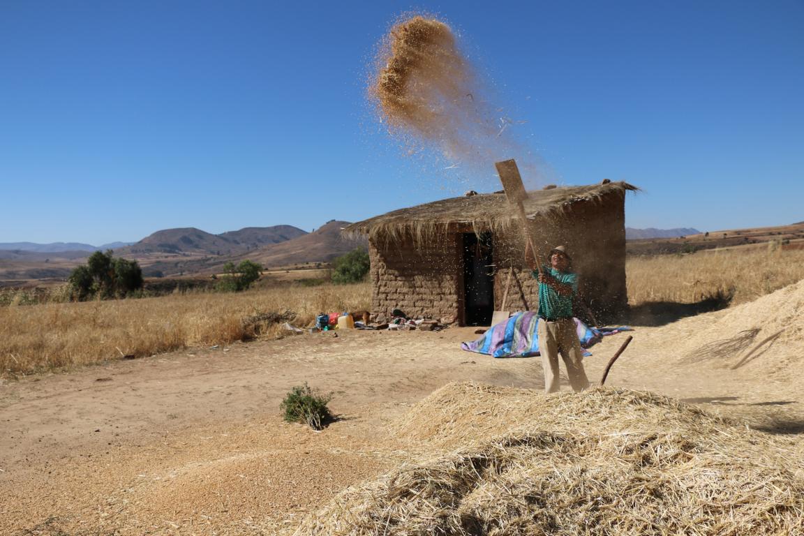
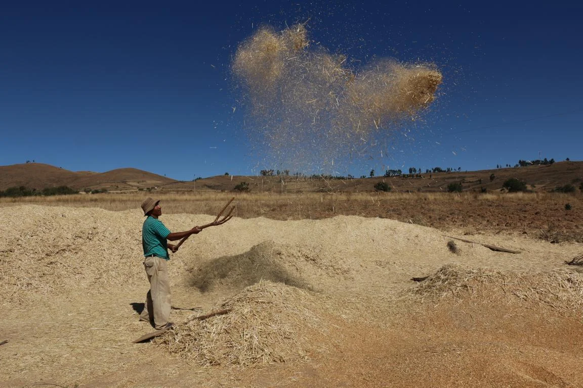
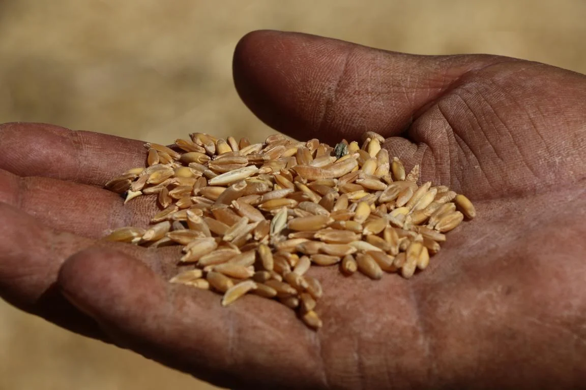
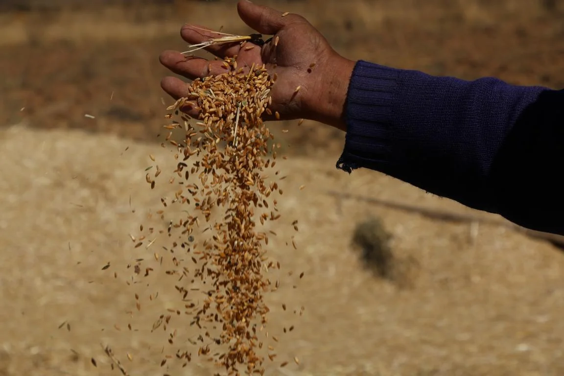
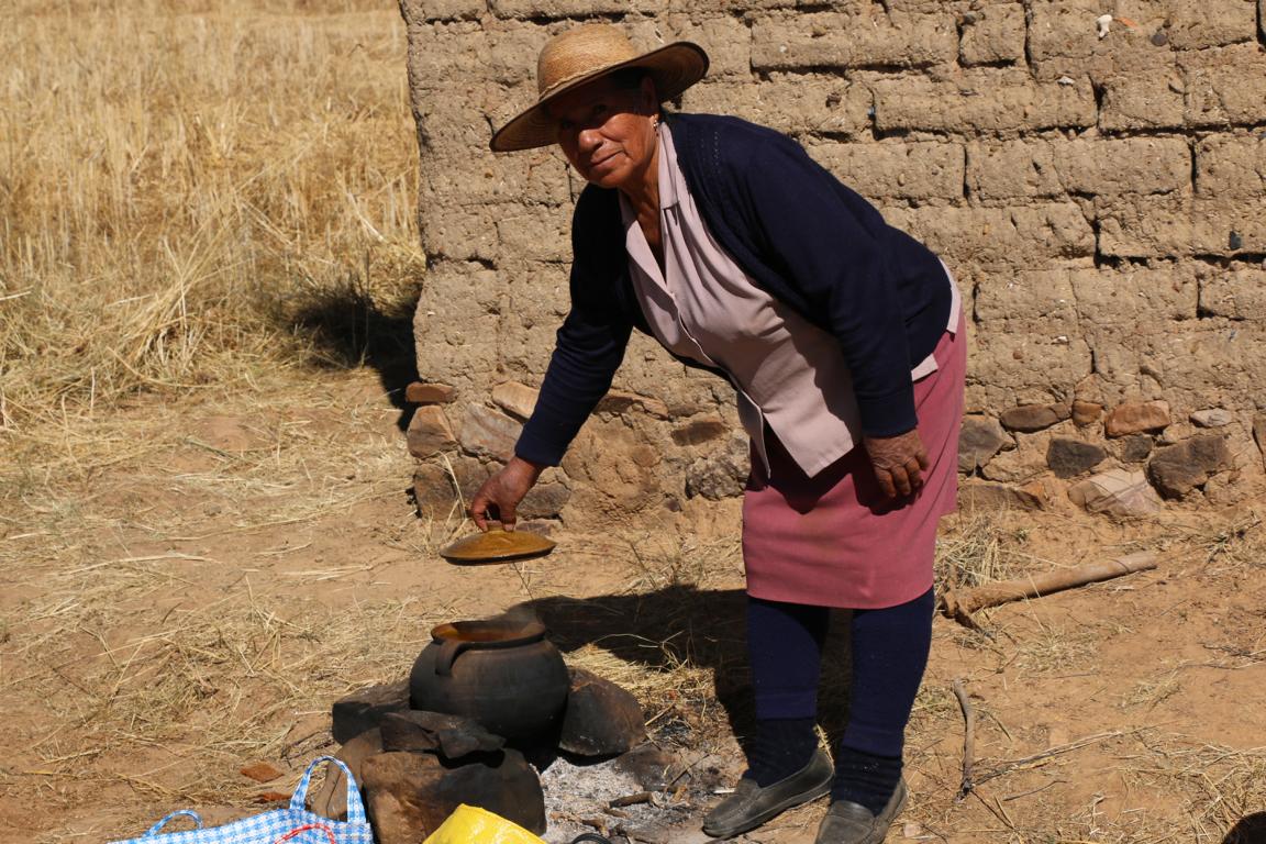
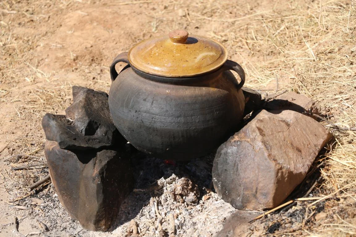
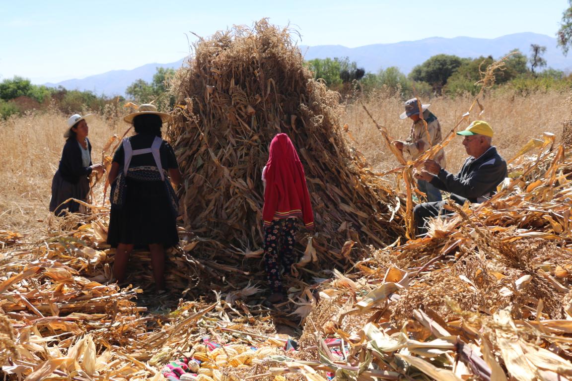
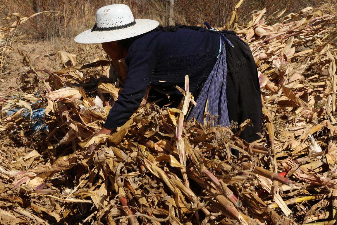
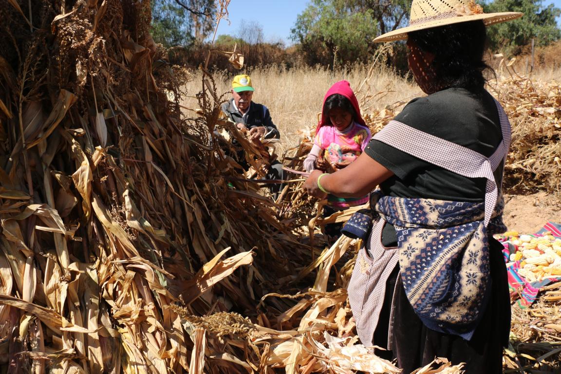
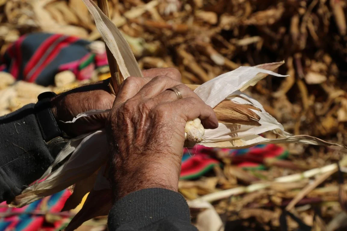
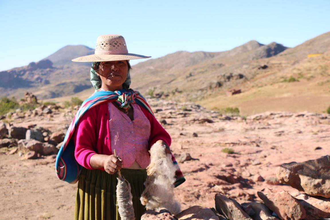
Much of Bolivia’s agriculture is still based on physical labour.
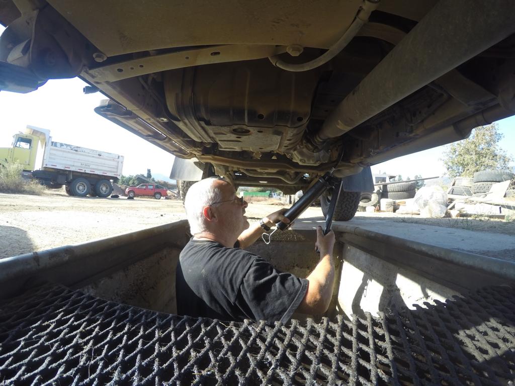
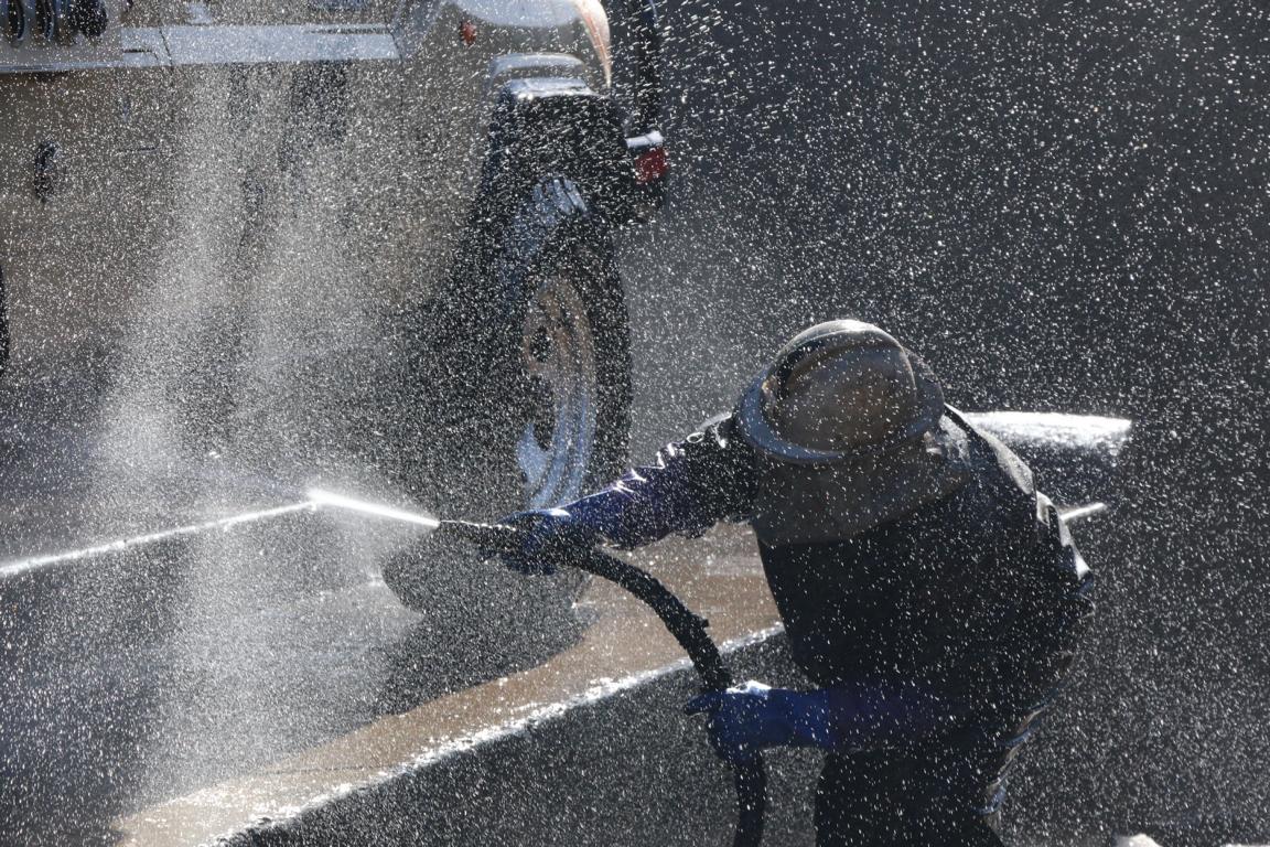
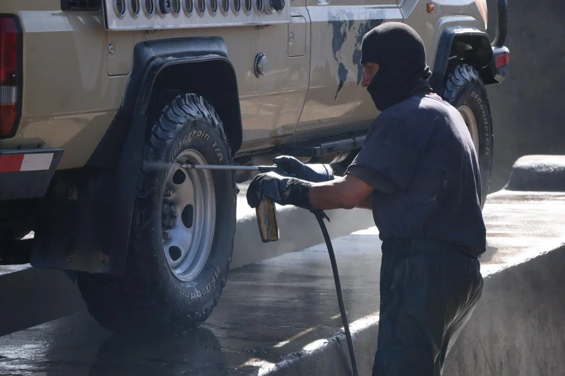
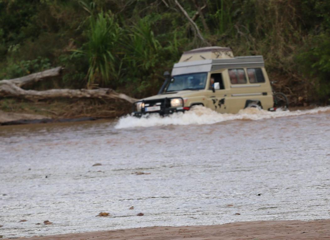
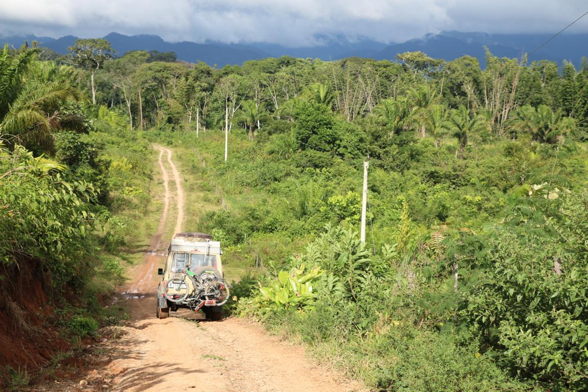
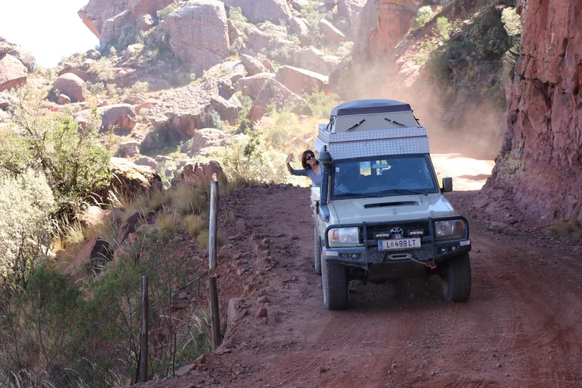
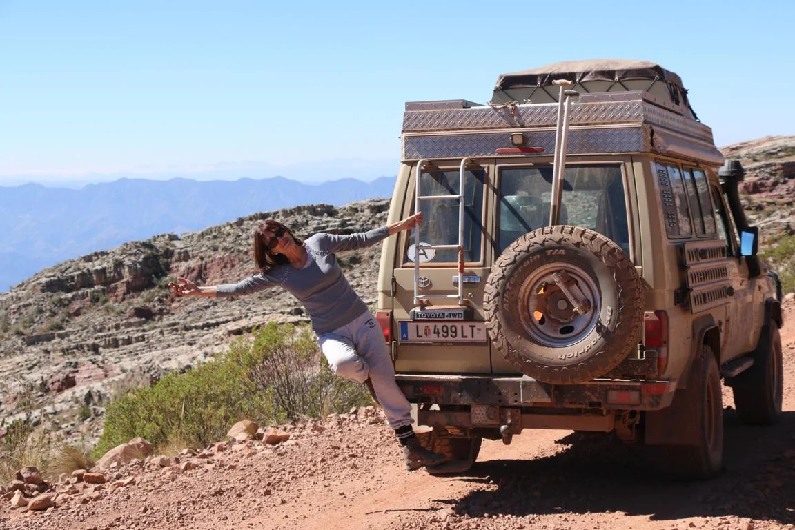
After having driven 28.000 km through South America I finally I want to give credit to my car a Toyota Landcruiser Mod. 1978 (built in 2014; no break downs so far) and the company which equipped it for the expedition (http://toms-fahrzeugtechnik.de/) and is always read to immediately respond when I have technical questions.
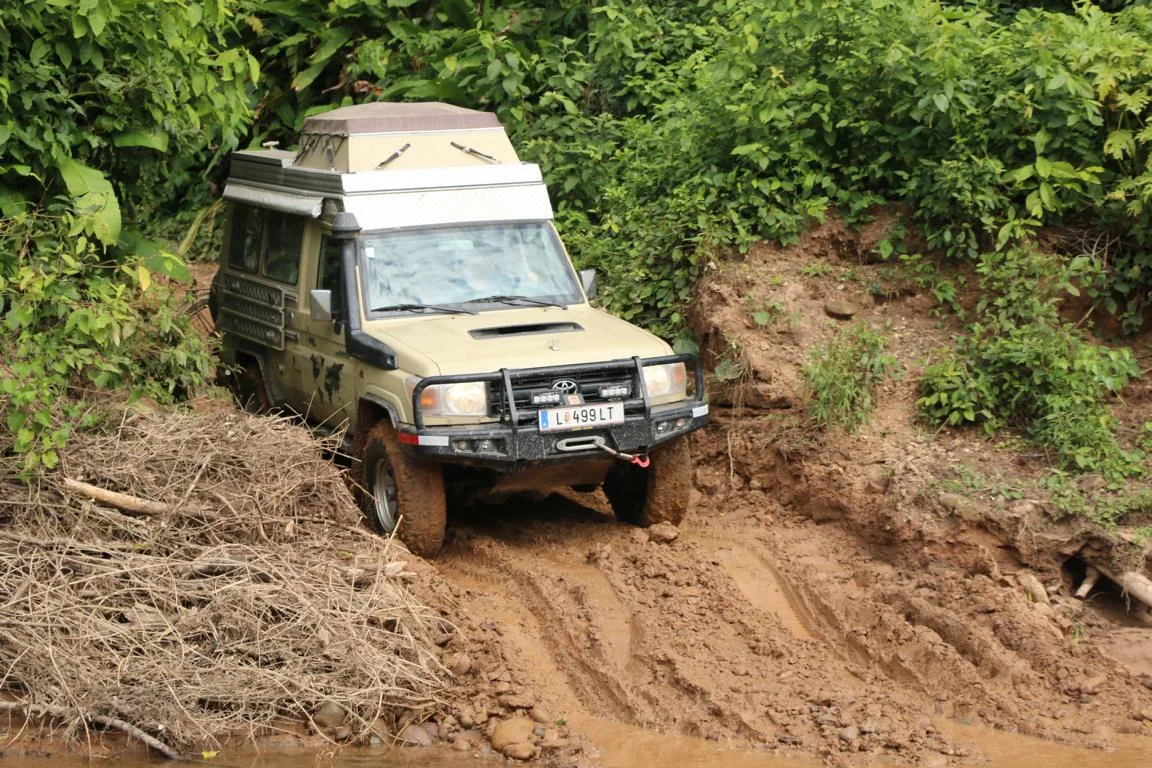
As you see in below pictures the moving parts need to be greased every 10,000 km and after crossing a salar the car requires a comprehensive car wash. Subsequently locals usually spray the car with a mixture of petroleum and grease to prevent that the metal gets rusty.
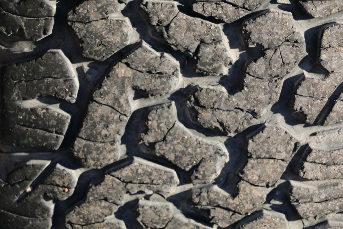
While I drove several thousand km on bad roads I had no flat tire so far, although the thread of the tires has somehow suffered already. For those who are interested: I am using BF Goodrich All-Terrain T/A tires.