From Calgary to the Arctic Ocean, June 2019
Von Calgary zum Arktischen Ozean, Juni 2019
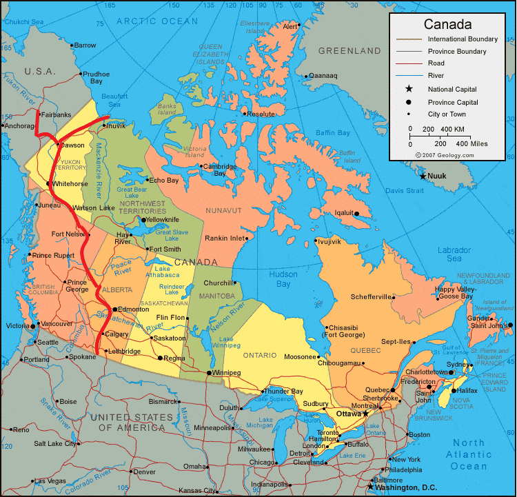
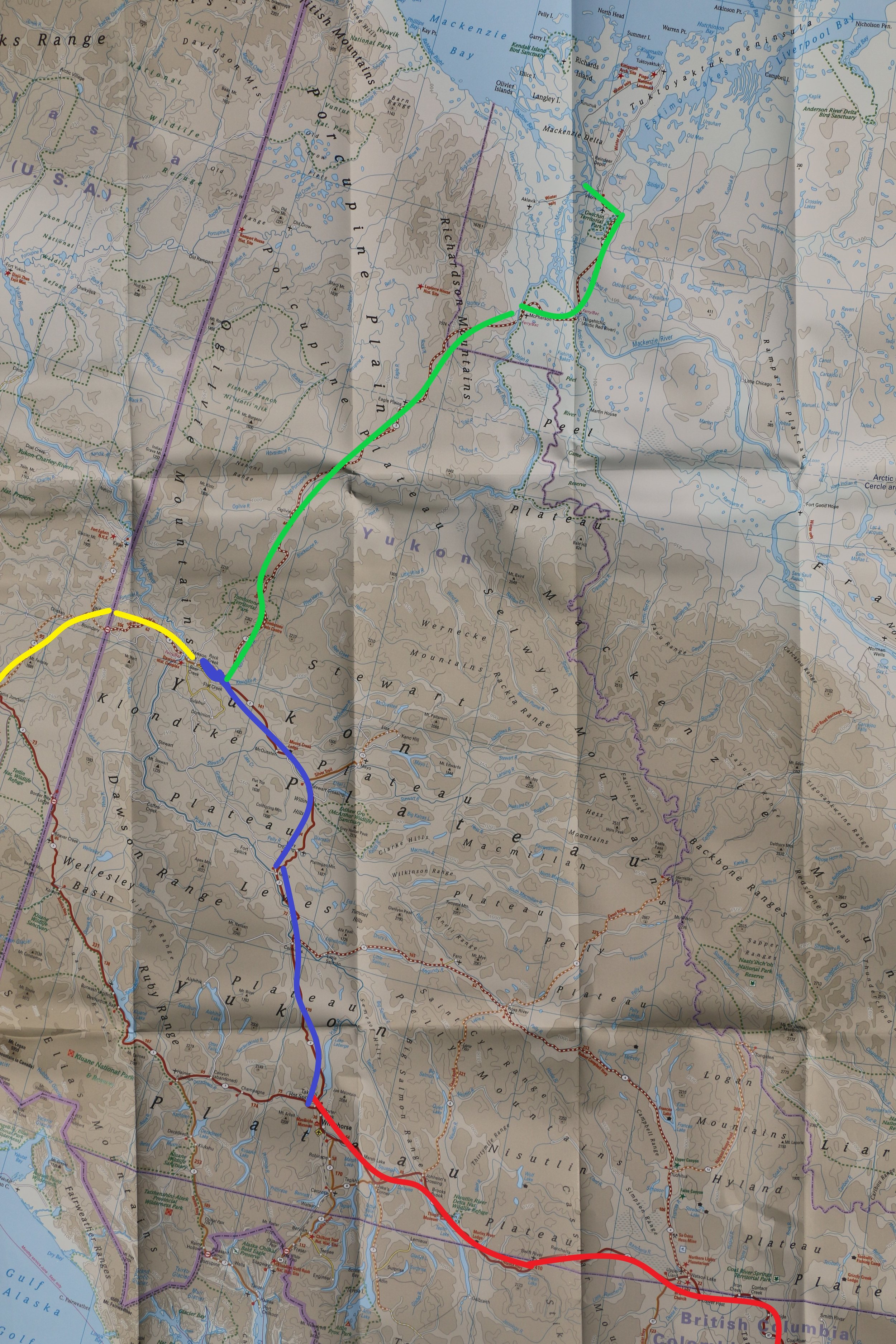
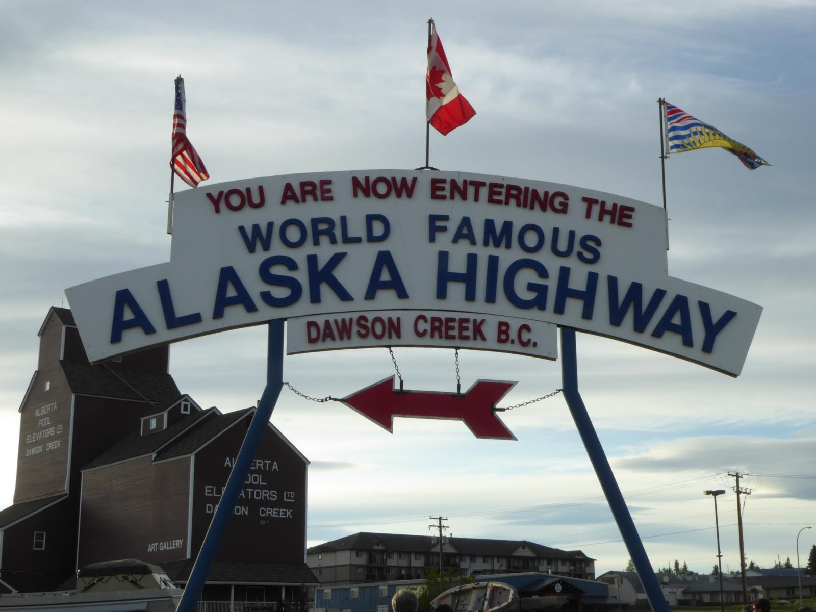
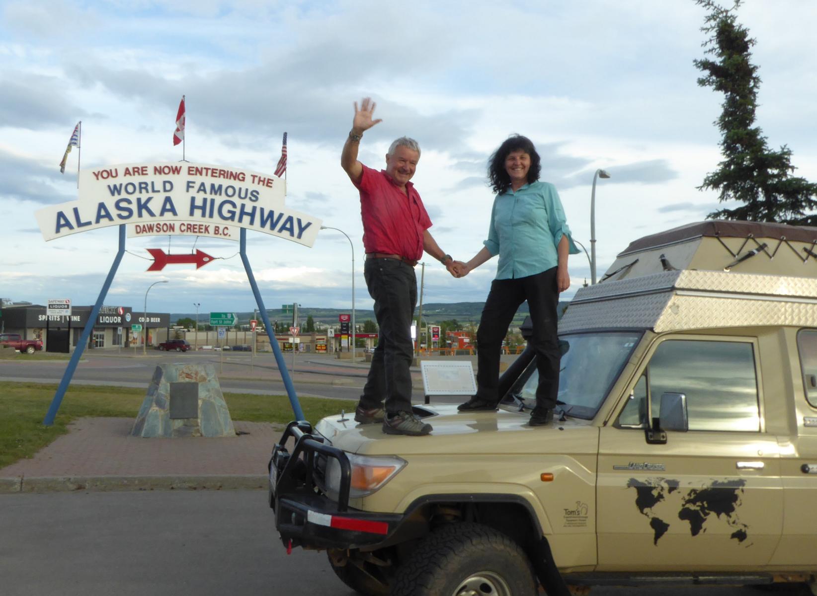
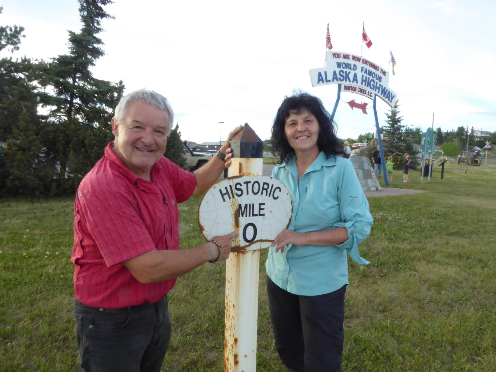
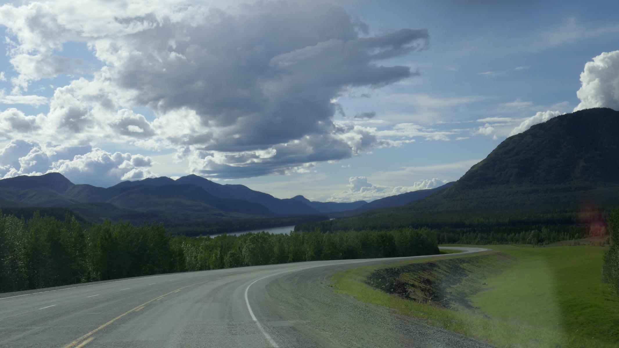
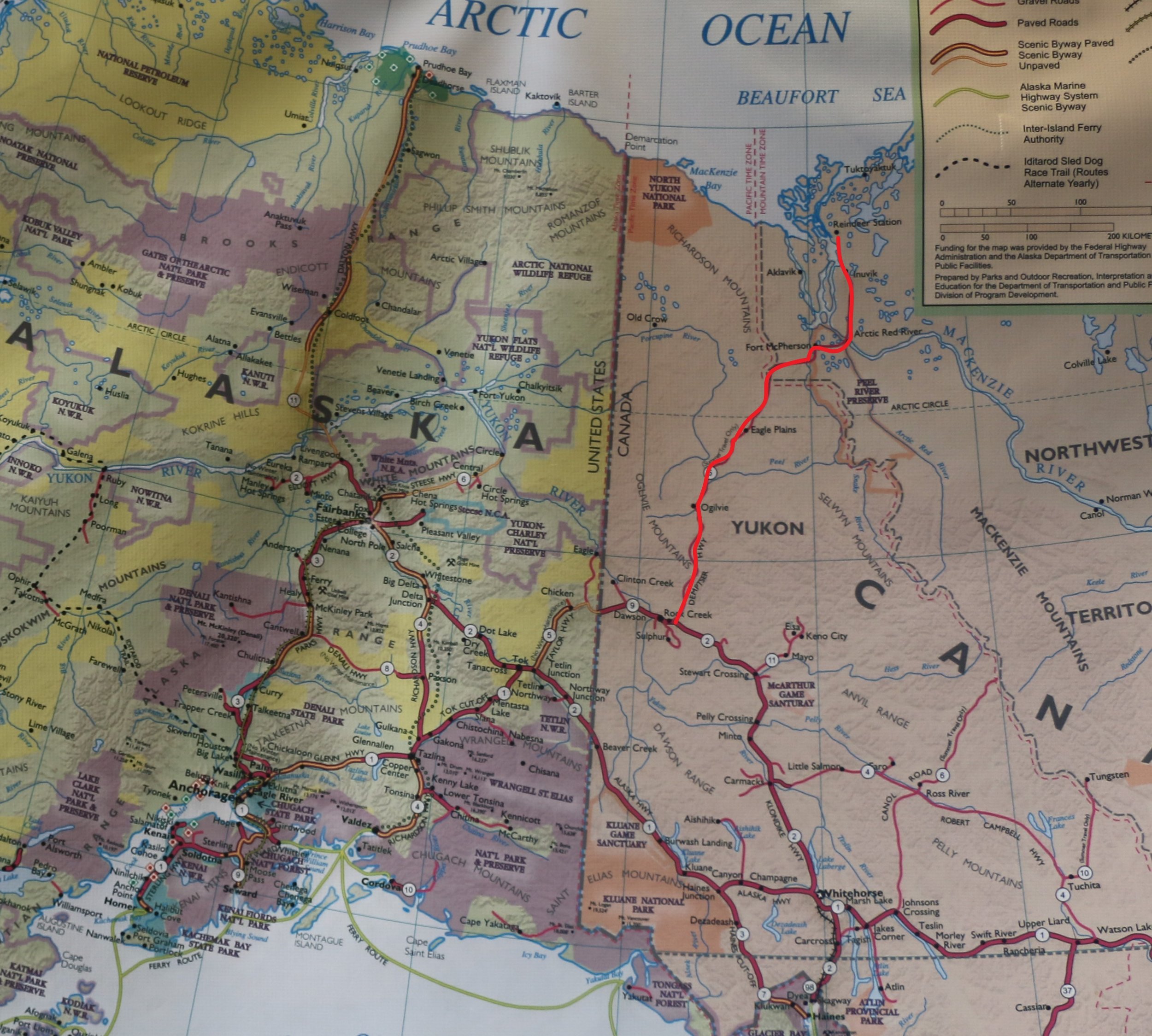
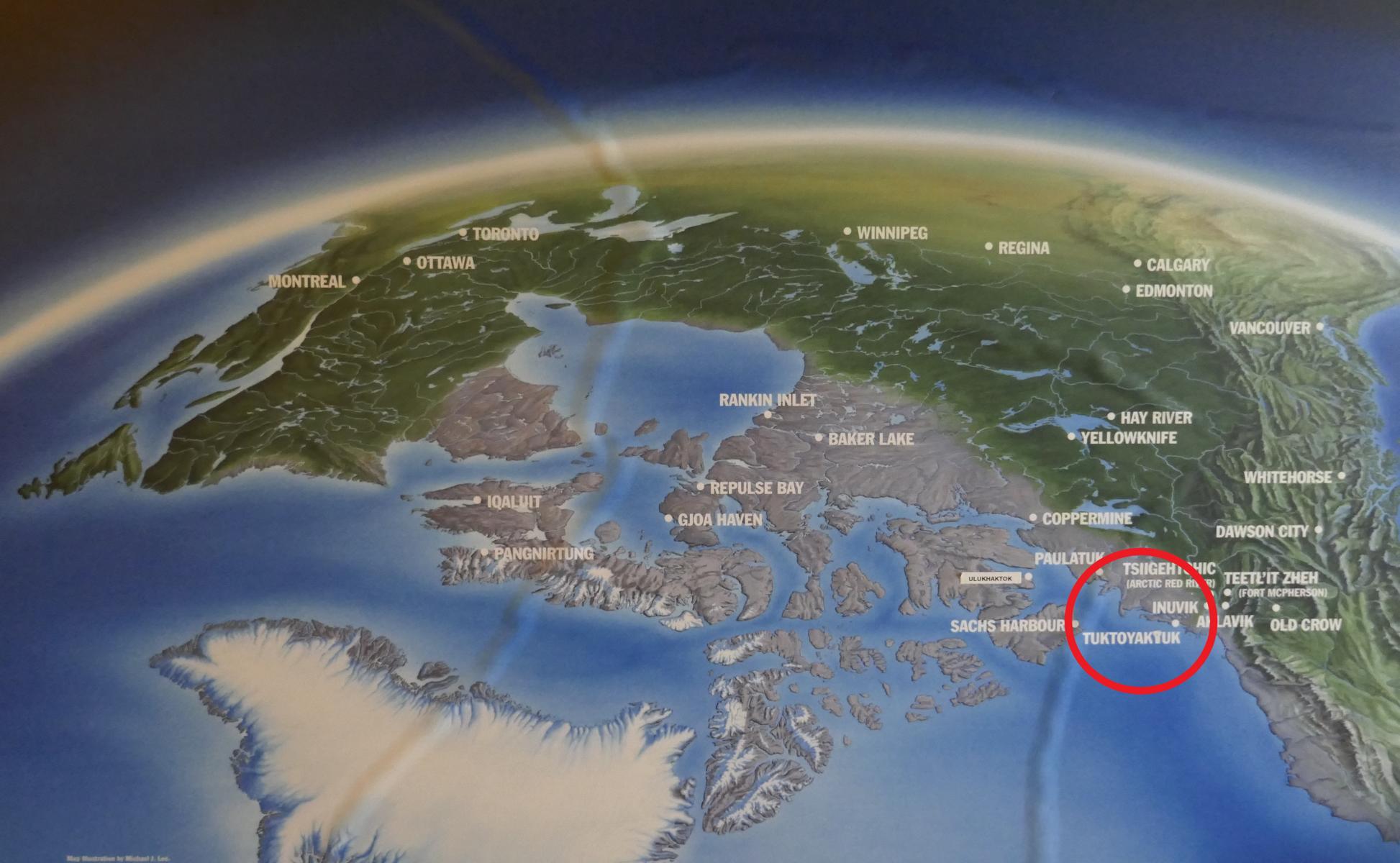
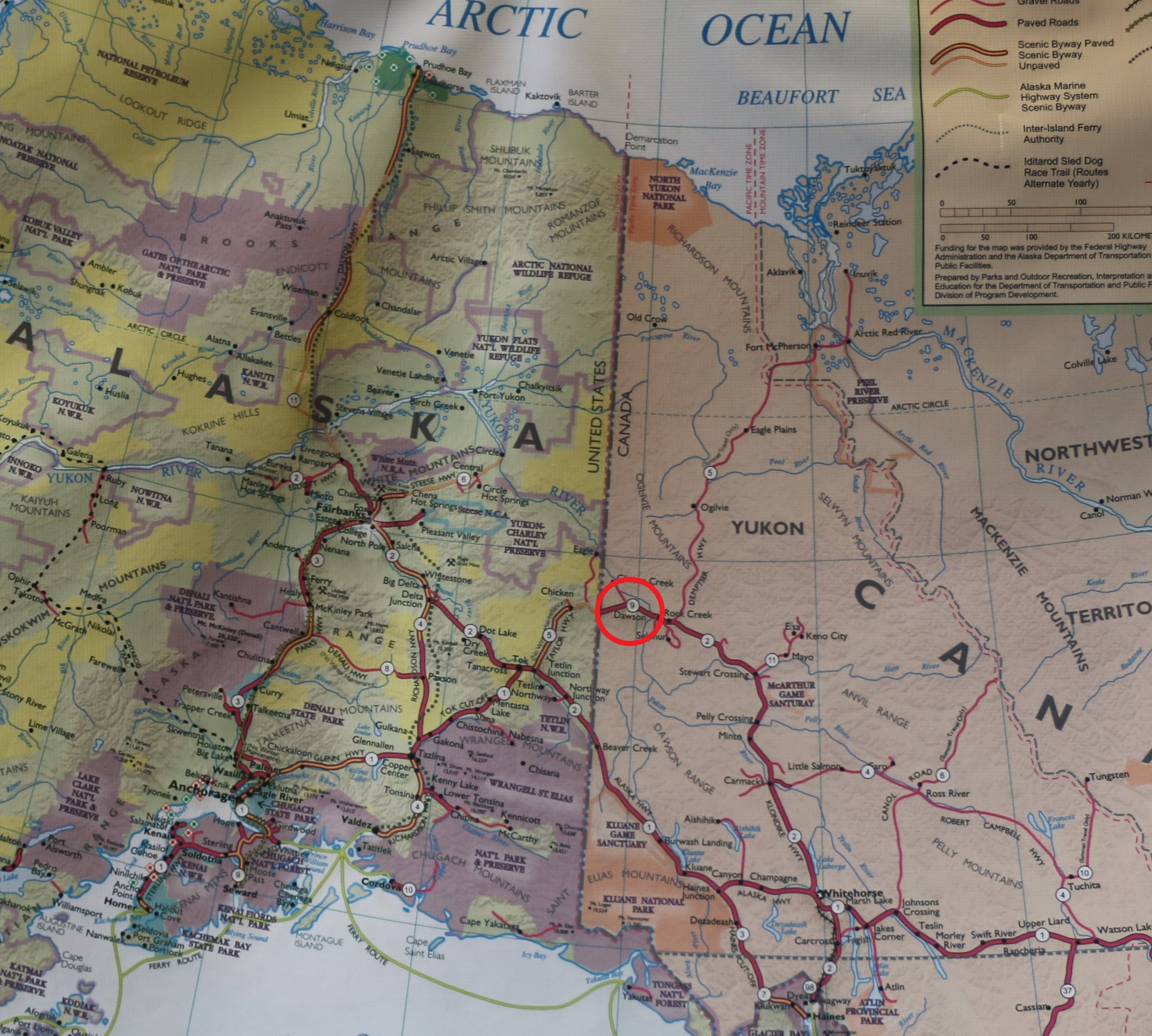
In June / July 2019 Ursula and I travelled the nearly 5.000 km / 3,500 miles from Calgary to Tuktoyaktuk on the Arctic Ocean and then further to Dawson City and Fairbanks (Alaska / USA). We initially drove the Alaska Highway (red), later the Klondike Highway (blue), the Dempster Highway (green) and the Top of the World Highway (yellow). From Calgary there leads an excellent highway north to Edmonton. The Alaska Highway starts at Dawson Creek (Canada) and ends after 2,232 km (1,387 mi) at Delta Junction (Alaska / USA). The road leads through a by-and-large inhibited and untouched region. Initially built as a rough gravel road the Alaska Highway has been completely paved in the 1980s (although some sections are now reworked).
Im Juni / Juli 2019 fuhren Ursula und ich fast 5.000 km von Calgary nach Tuktoyaktuk am Arktischen Ozean und dann weiter nach Dawson City und Fairbanks (Alaska / USA). Dabei folgten wir zunächst dem Alaska Highway (rot), später dem Klondike Highway (blau), dem Dempster Highway (grün) und dem Top-of-the-World Highway (gelb). Von Calgary führt zunächst eine gutausgebaute Autobahn nach Edmonton. Der Alaska Highway beginnt in der Stadt Dawson Creek (Kanada) und endet nach 2.232 km in Delta Junction (Alaska / USA). Die Straße führt durch weitgehend unbesiedeltes / unberührtes Gebiet. Ursprünglich eine wilde Schotterstraße ist der Alaska Highway seit den 1980er Jahren (mit Ausnahme einiger Abschnitte, die erneuert werden) durchgehend asphaltiert.
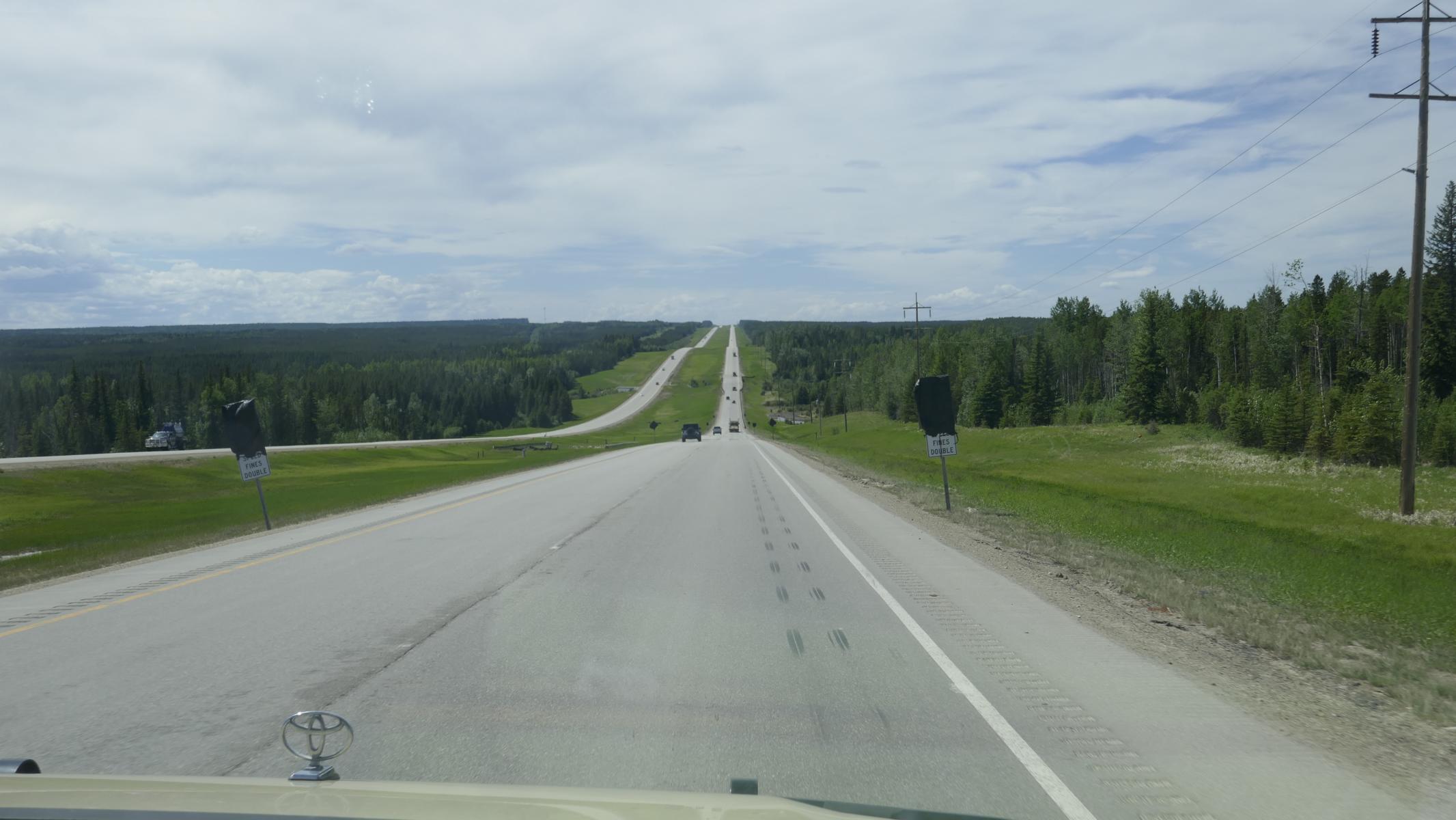

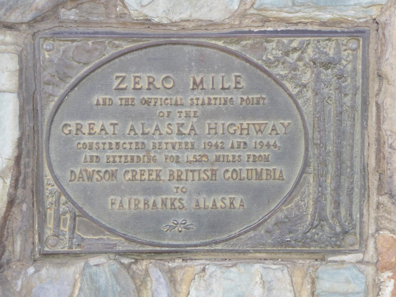


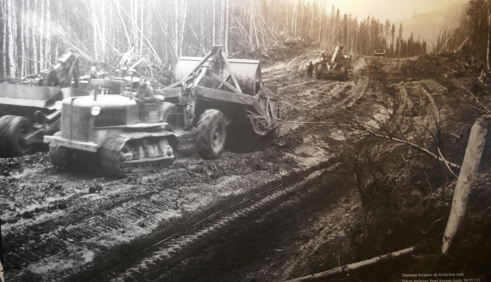
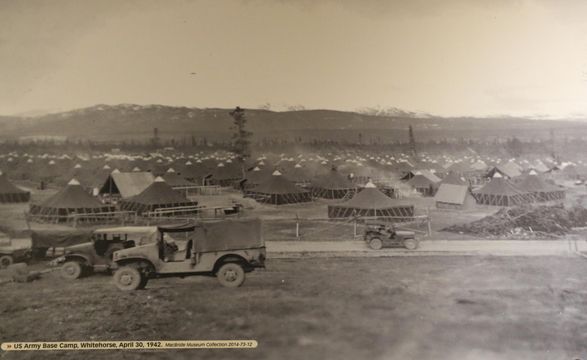
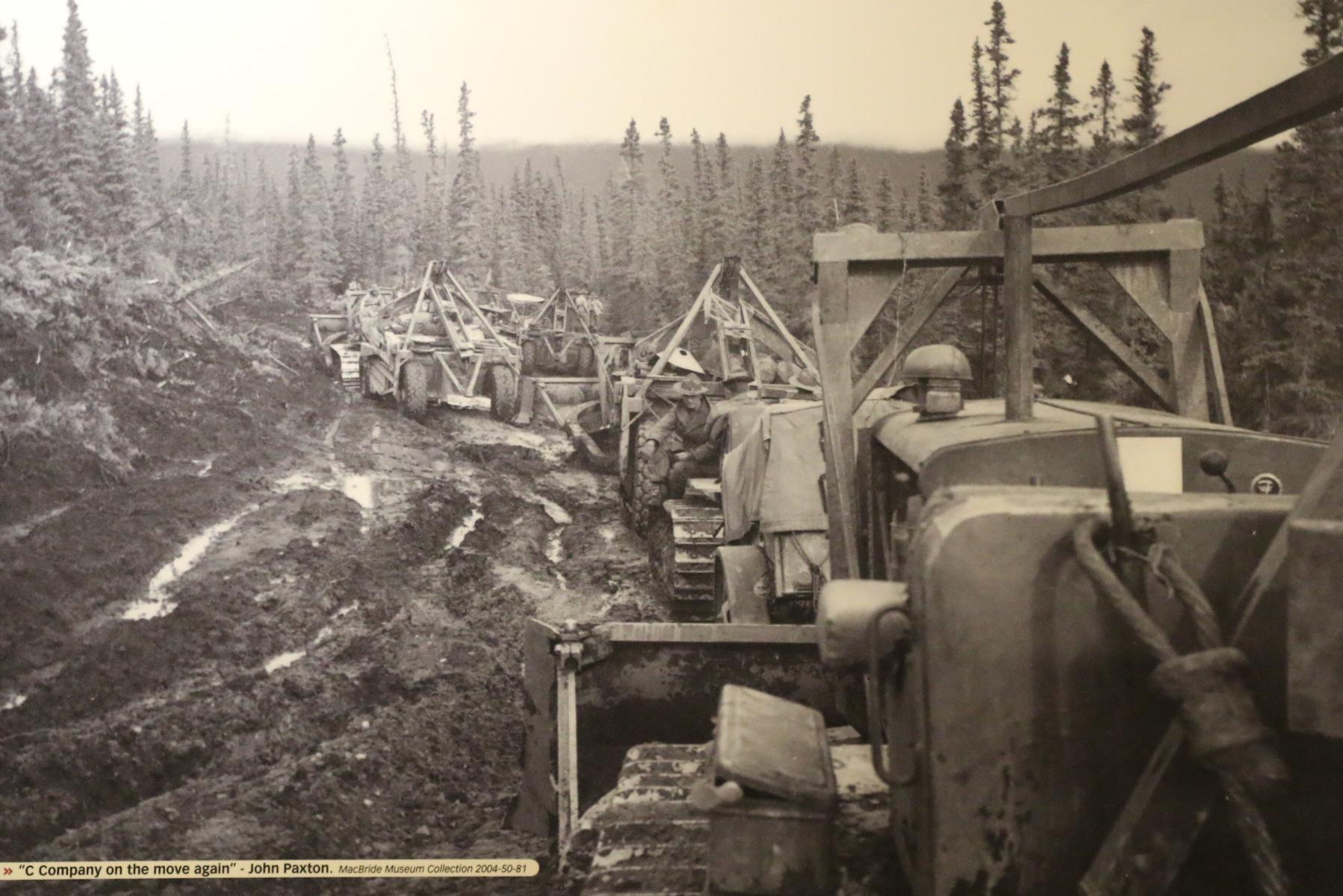
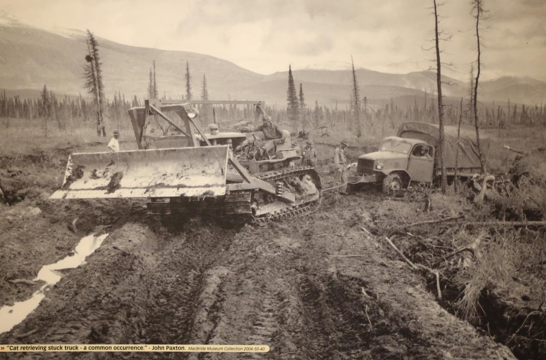
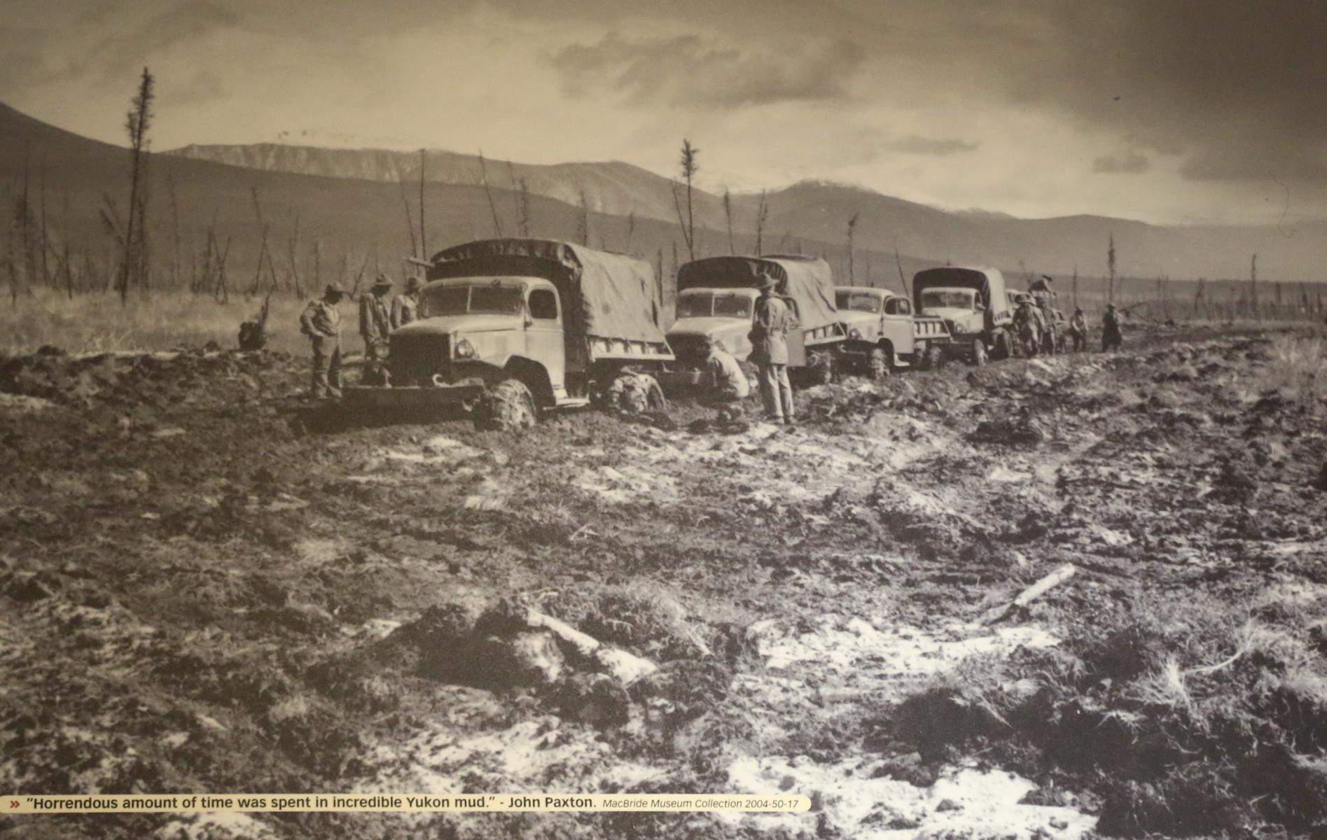
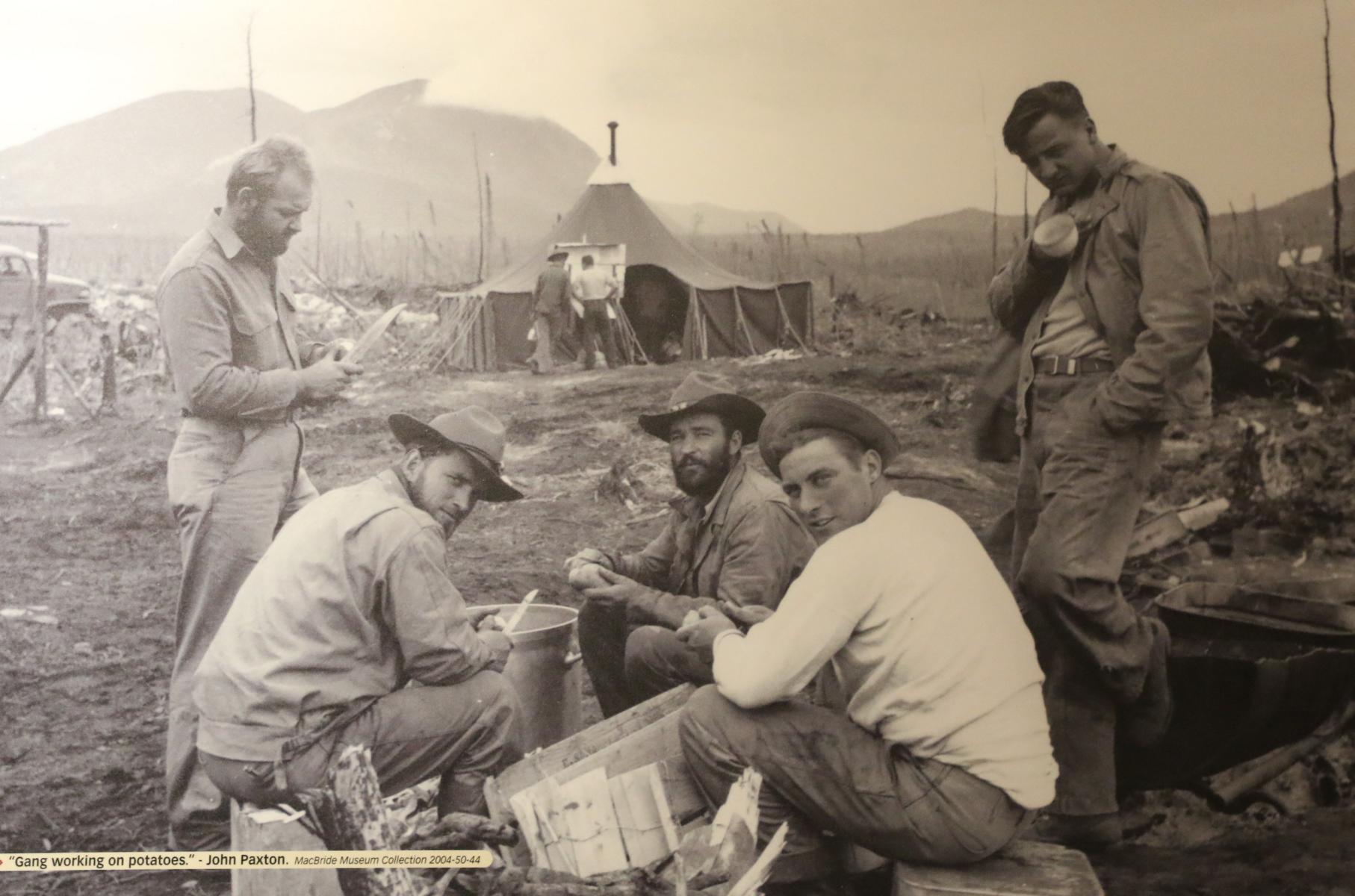
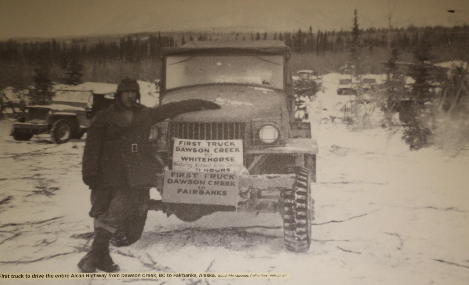
The initially 2,700 kilometers (1,700 mi) long ALCAN Highway has been built in eight months (March-October 1942) by the U.S. Army Corps of Engineers as a military road to face Japanese threats against Alaska and to be able to supply Alaska by land. The construction costs were covered entirely by the USA. After the end of WW II, the road was handed over to Canada on 1. April 1946.
Der ursprünglich 2.700 km lange ALCAN Highway wurde in acht Monaten (März-Oktober 1942) vom U.S. Army Corps of Engineers als Militärstraße errichtet und von den USA finanziert, um angesichts der japanischen Bedrohung eine Versorgung Alaskas sicherzustellen zu können. Nach Ende des 2. Weltkrieges wurde die Straße am 1. April 1946 an Kanada übergeben.
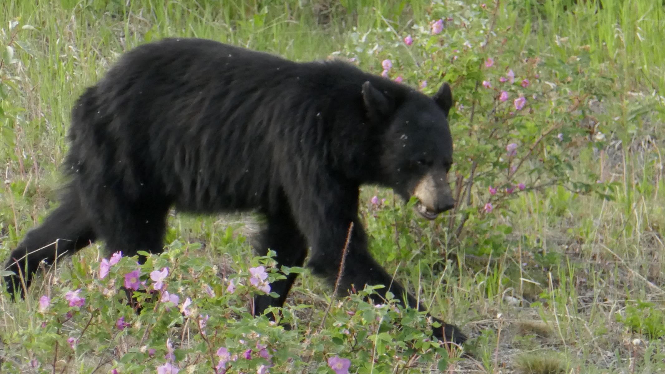
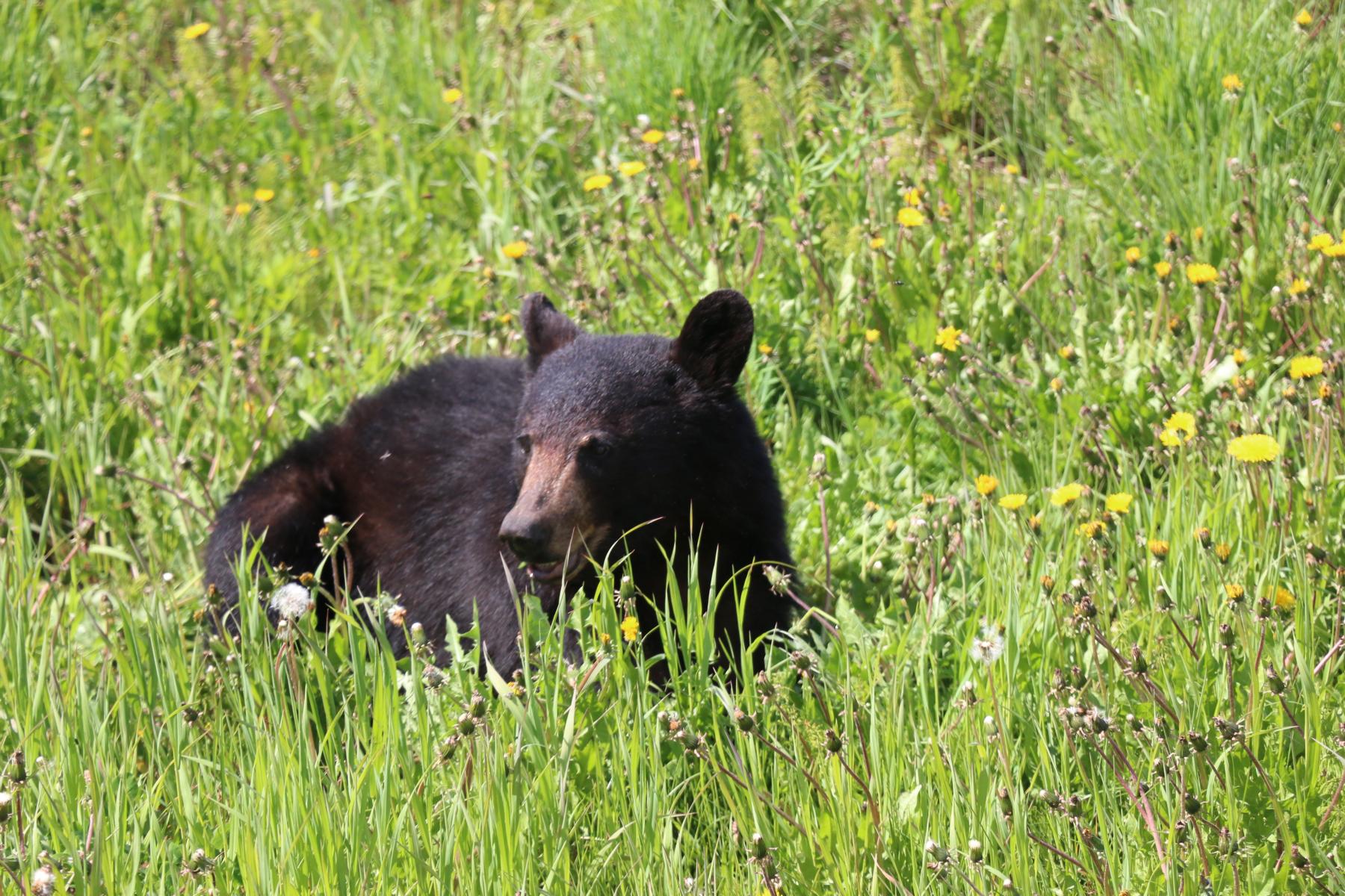
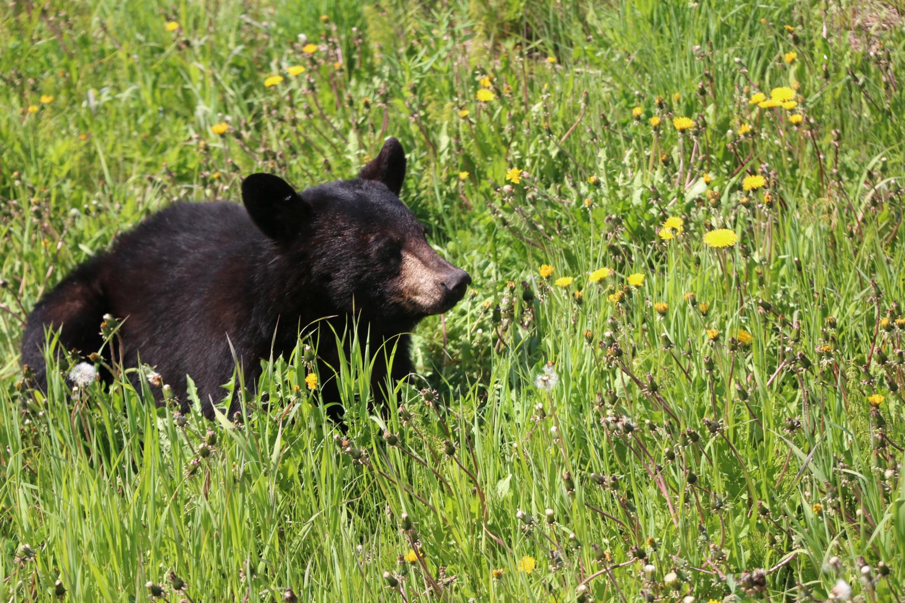
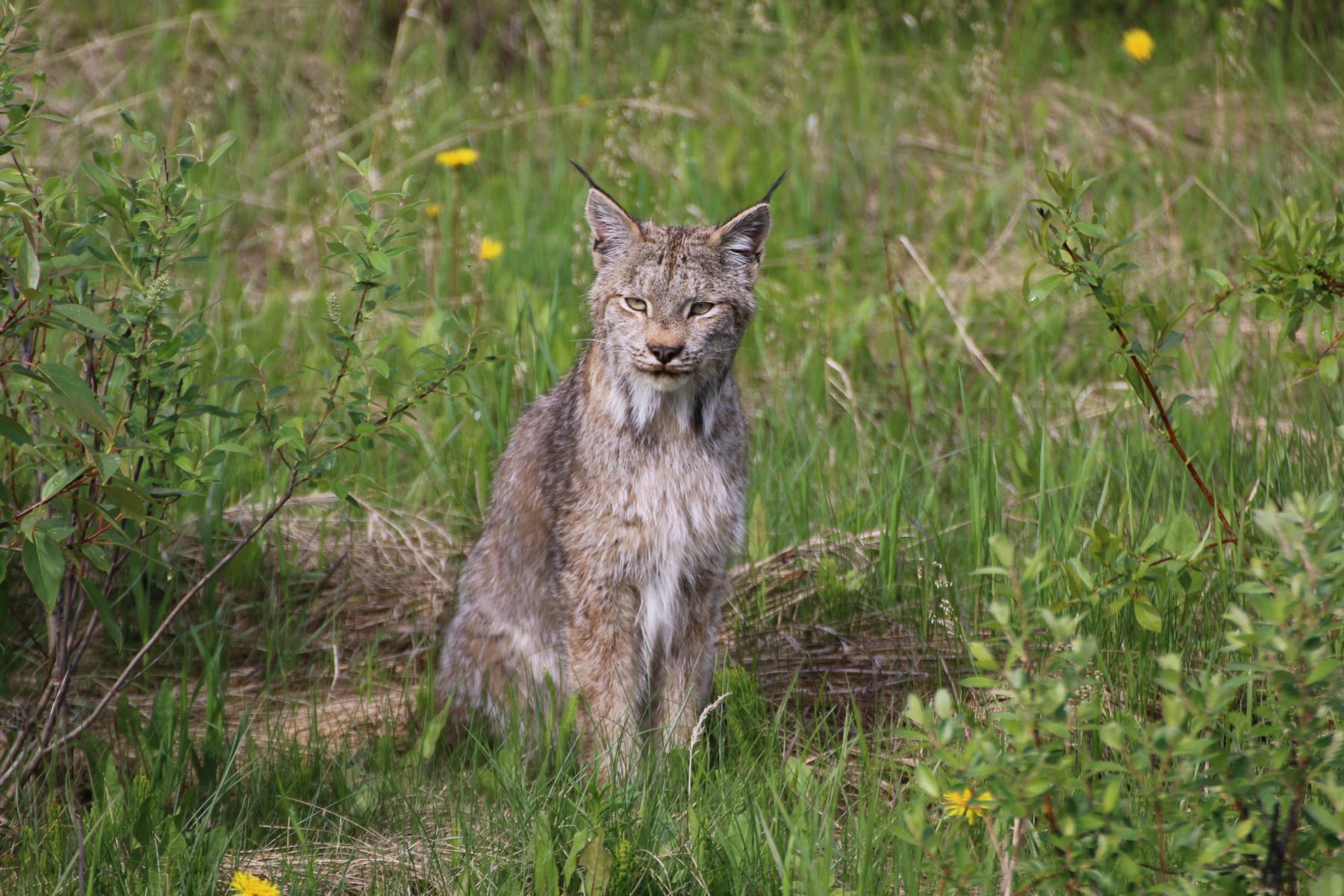
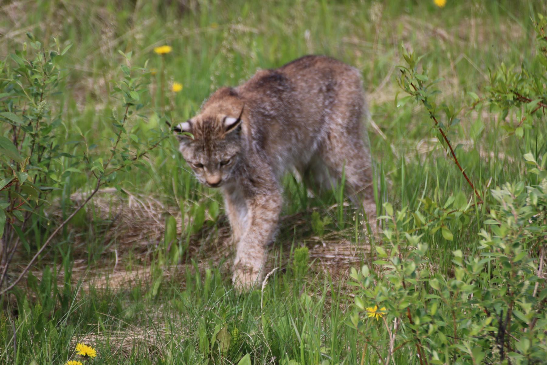
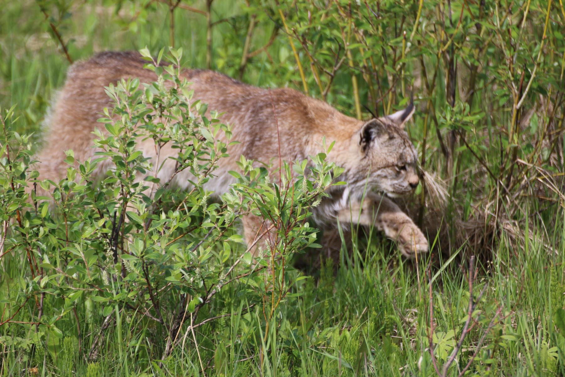
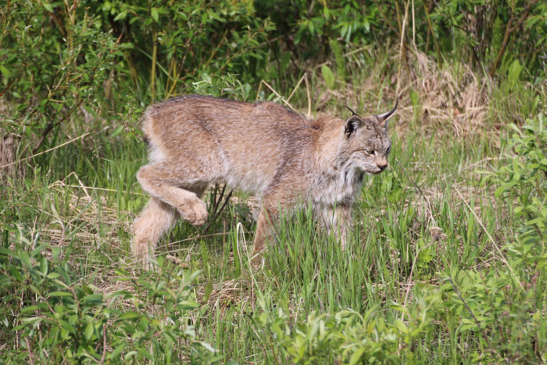
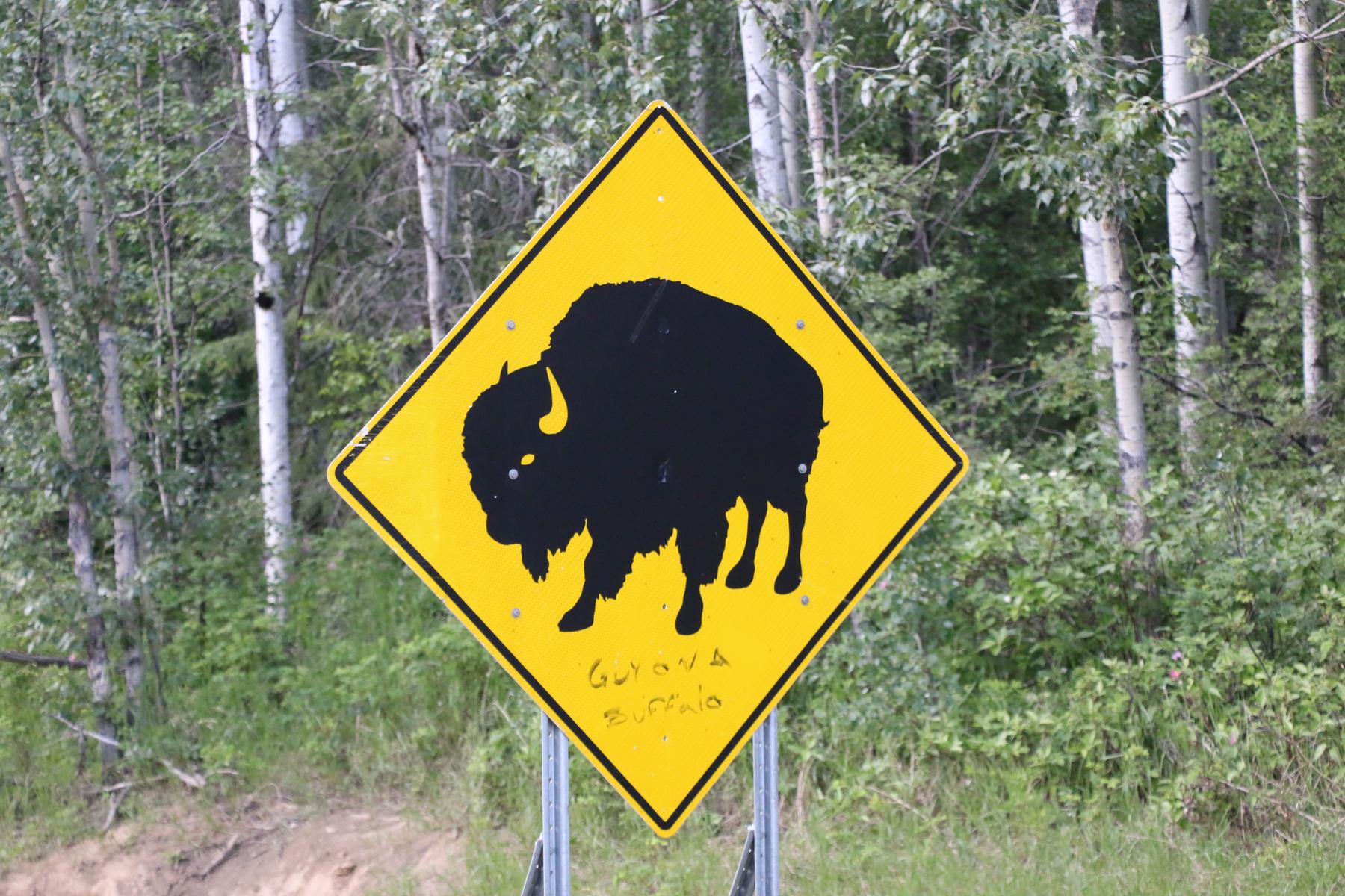
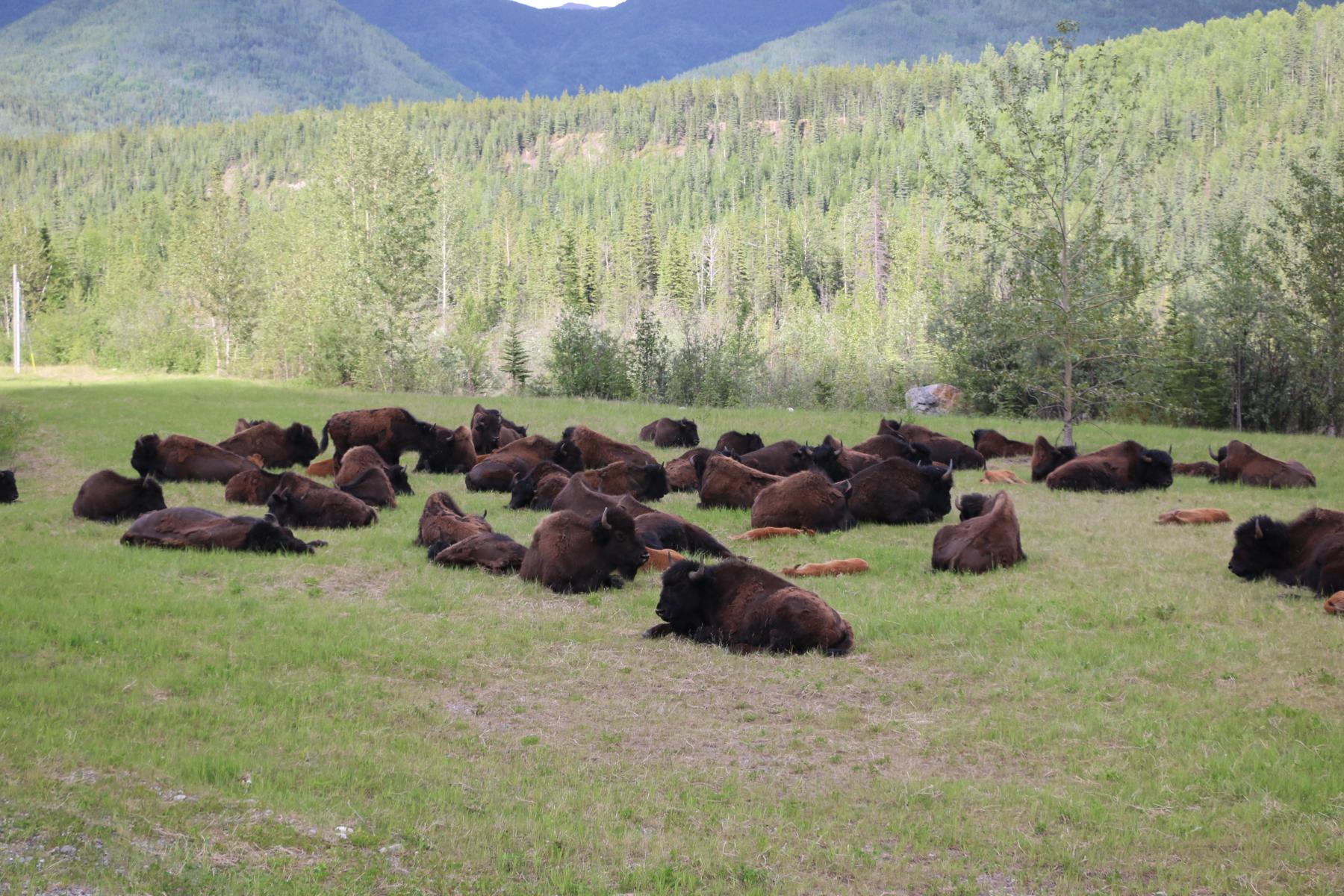
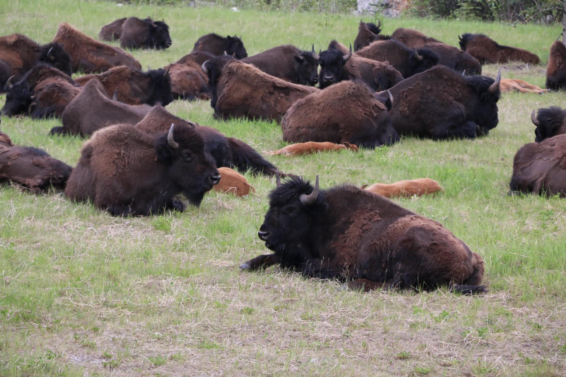
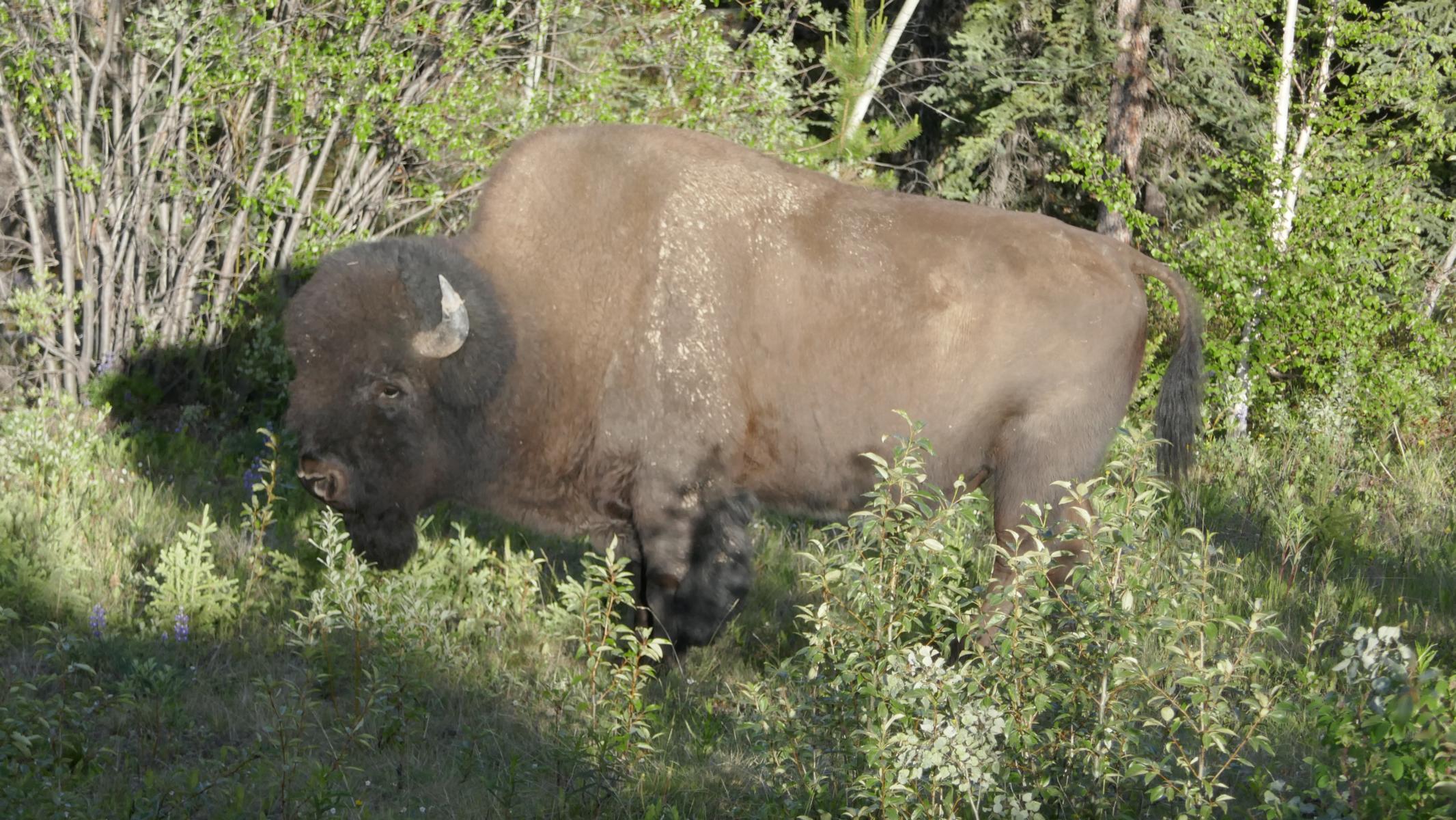
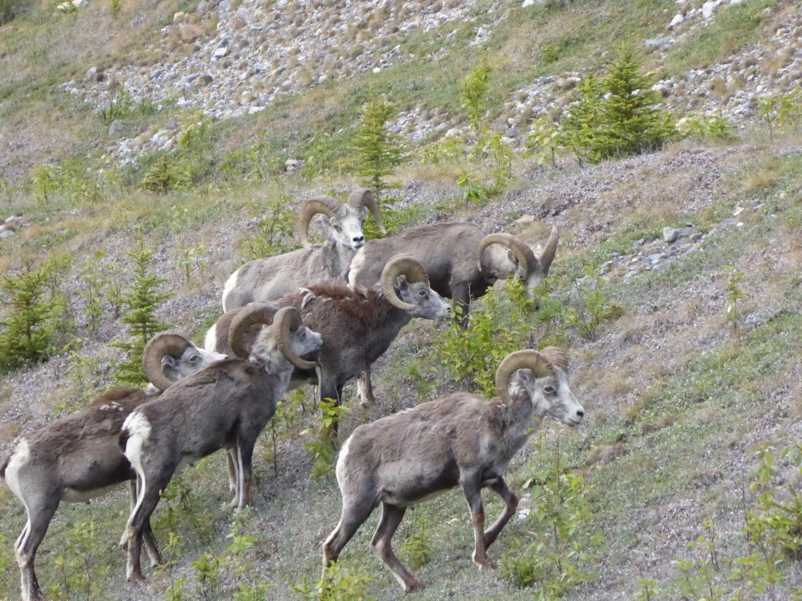
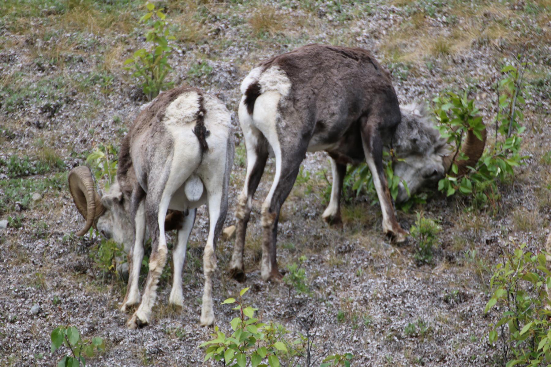
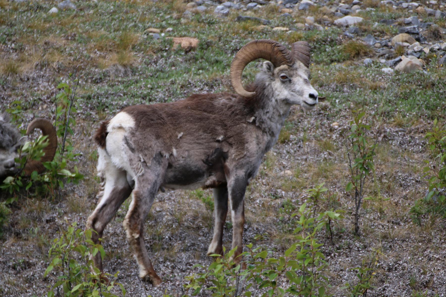
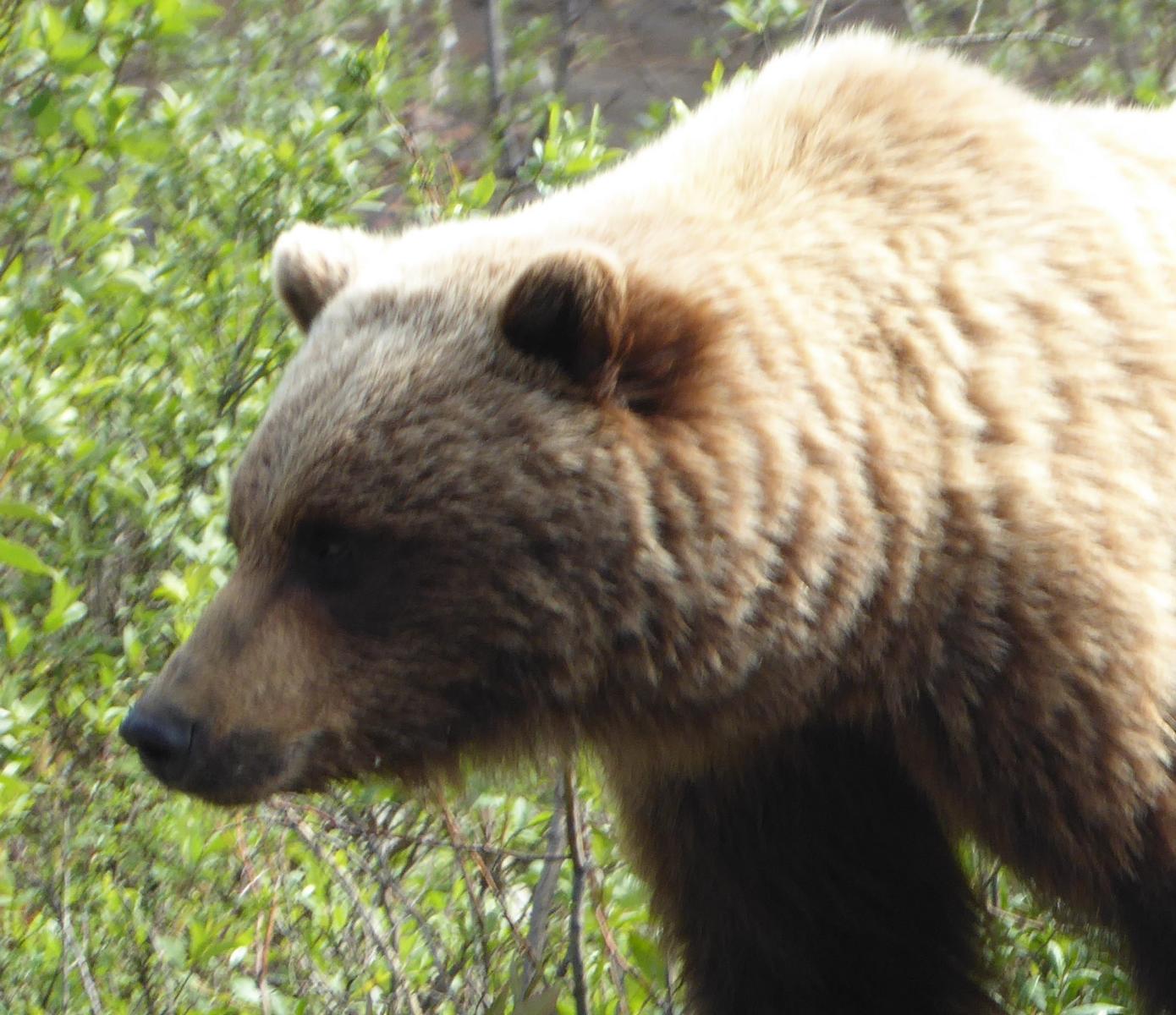
As most of the road literally leads through the wilderness one can comfortably watch wildlife from the car. We happened to see elven bears, one lynx, a herd of mountain goats, many bison and one moose.
Da ein Großteil des Weges sprichwörtlich durch die Wildnis führt kann man bequem vom Auto aus Wild beobachten. Wir sahen insgesamt 11 Bären, einen Luchs, ein Rudel Steinböcke, viele Bisons und einen Elch.
Many travelers follow the tradition to place a board of their home town at Watson Lake. Meanwhile there are ten-thousands from all over the world.
Viele Reisende folgen der Tradition und hinterlassen bei Watson Lake ein Schild ihrer Heimatstadt. Mittlerweile befinden sich dort einige Zehn-Tausend.

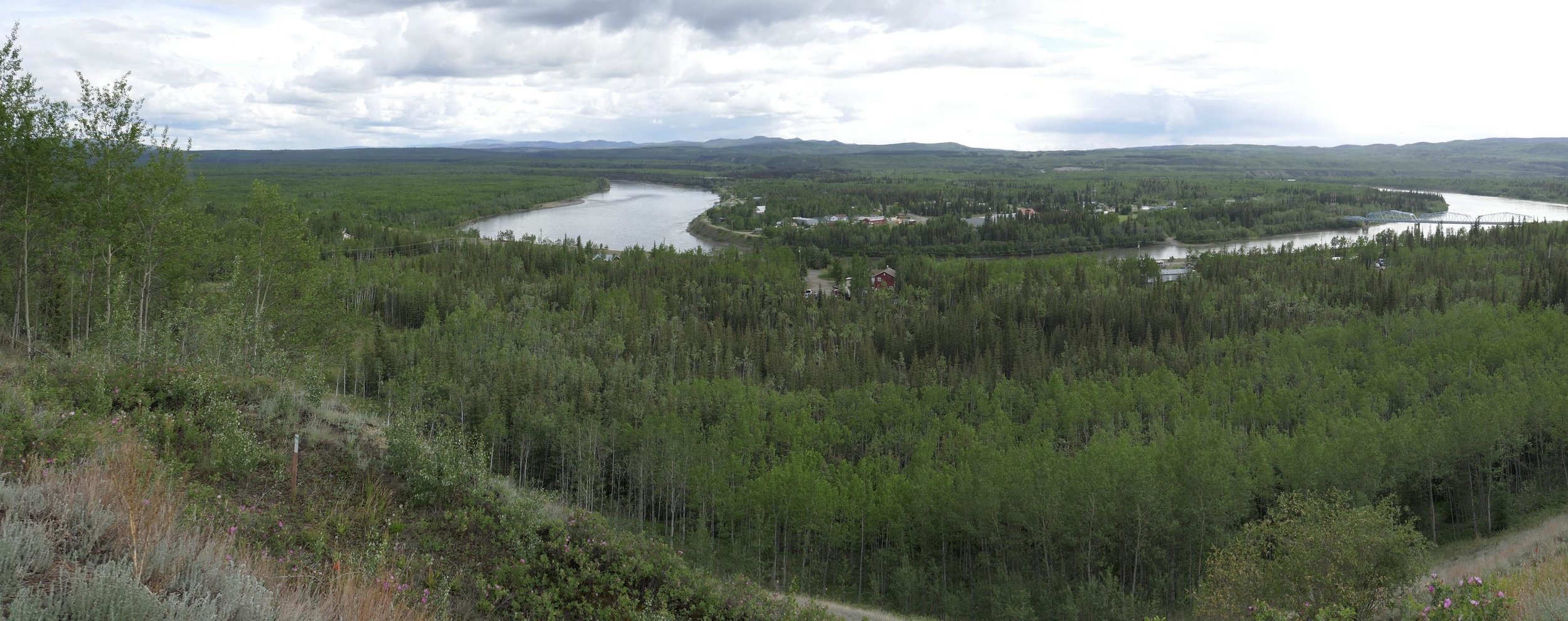
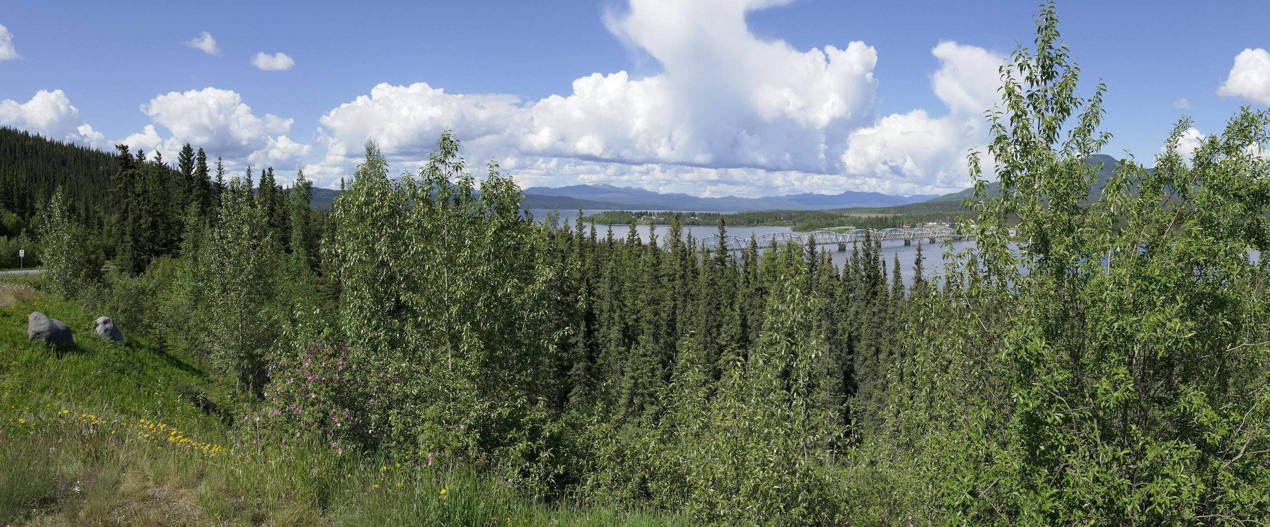
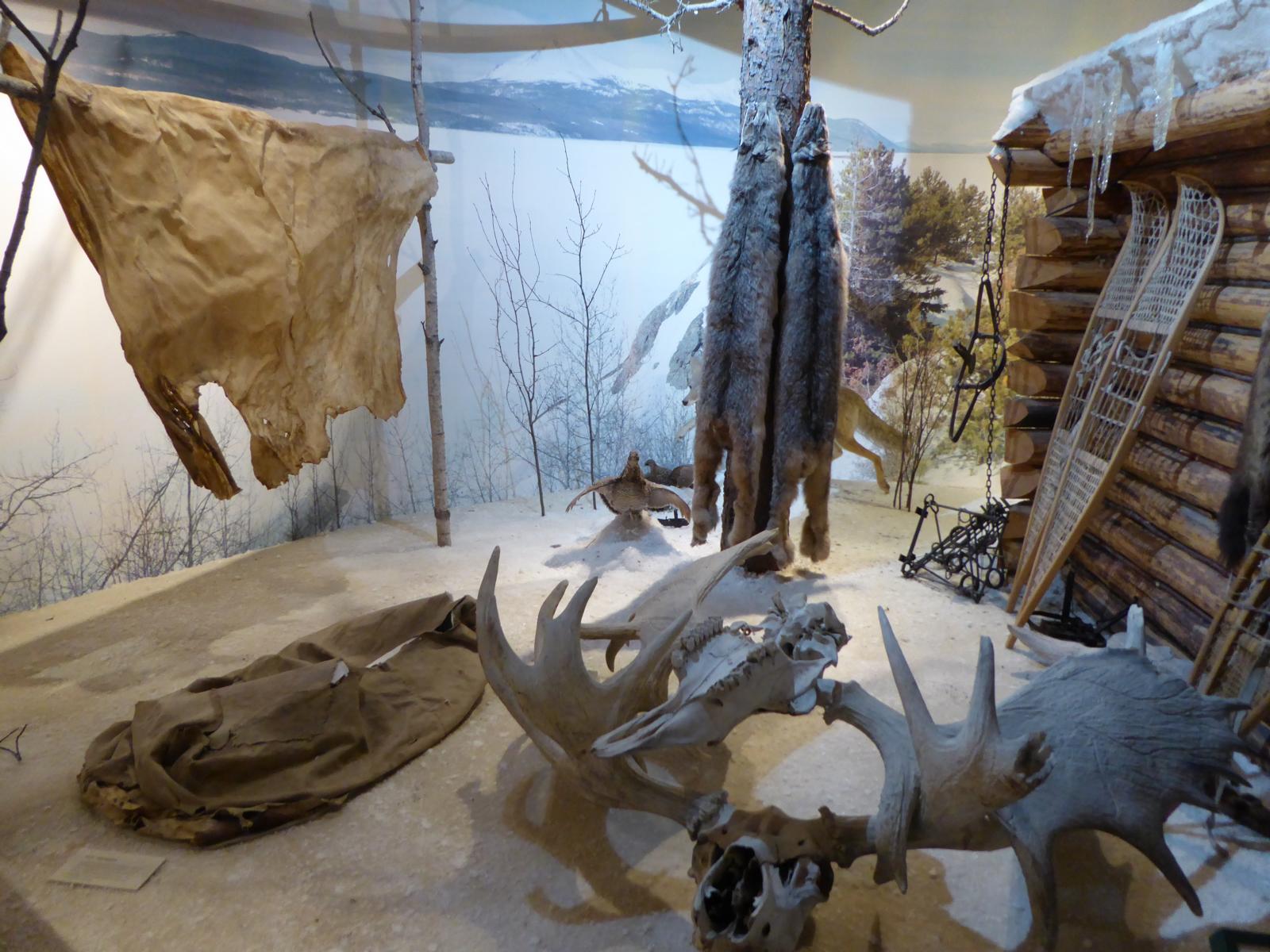
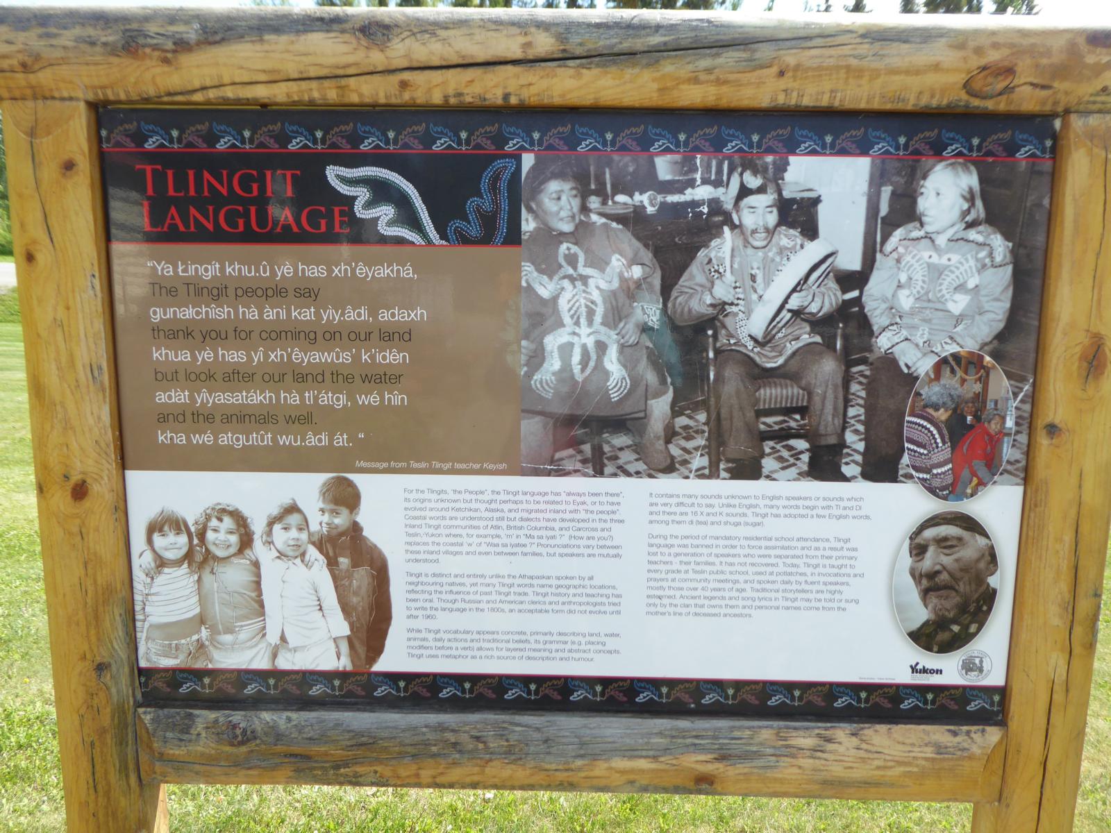
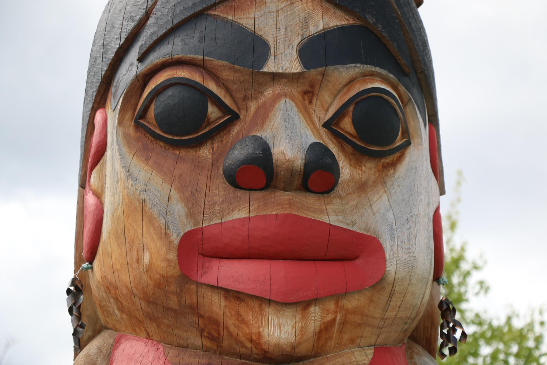
Teslin, a small stop-over town has an excellent museum informing about the local Tlingit community, which until 1942 lived a secluded life.
In der Stadt Teslin gibt es ein exzellentes Museum über das Volk der Tlingit, die bis 1942 weitgehend abgeschieden nach ihrer tradierten Form lebten.
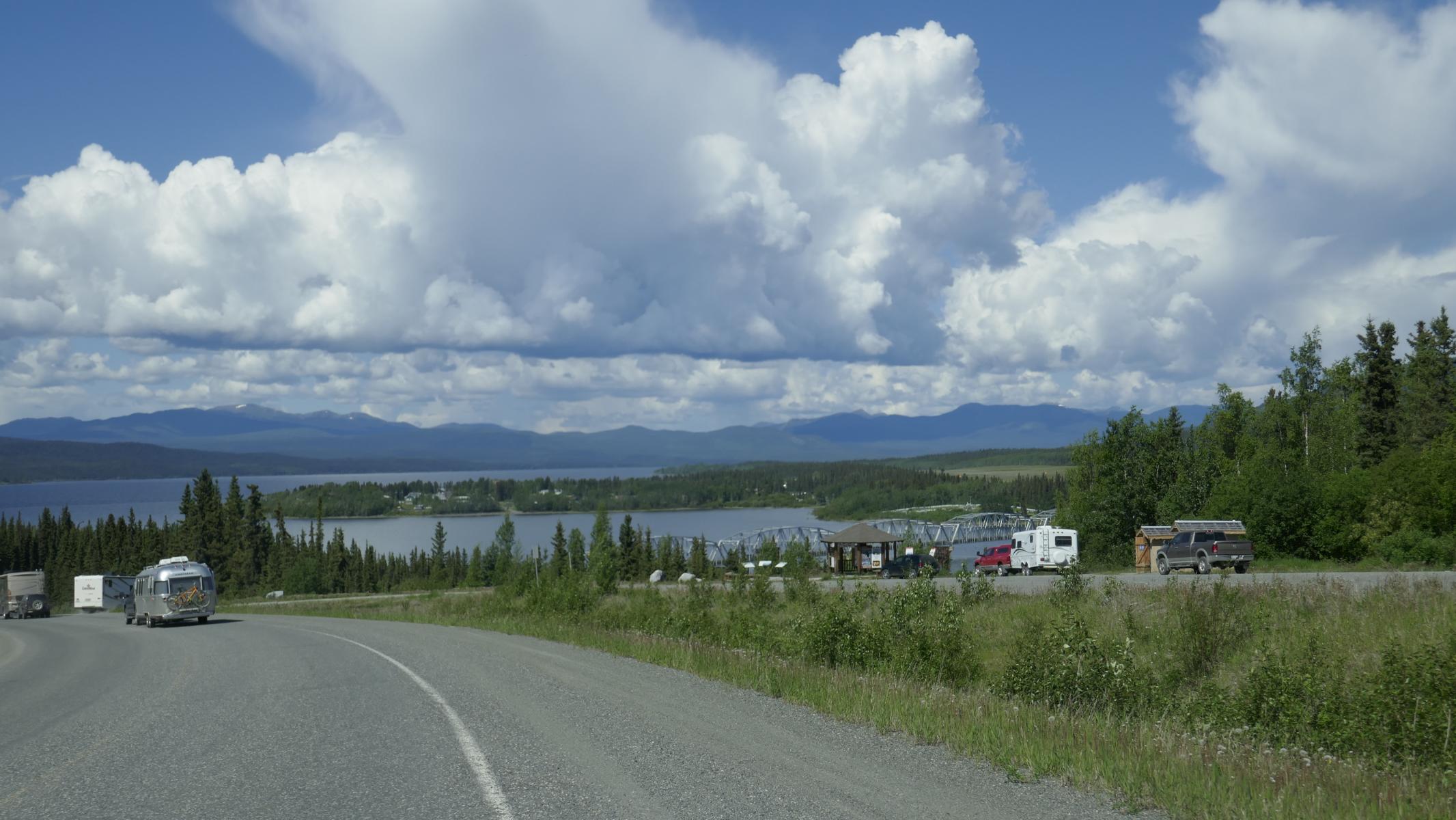
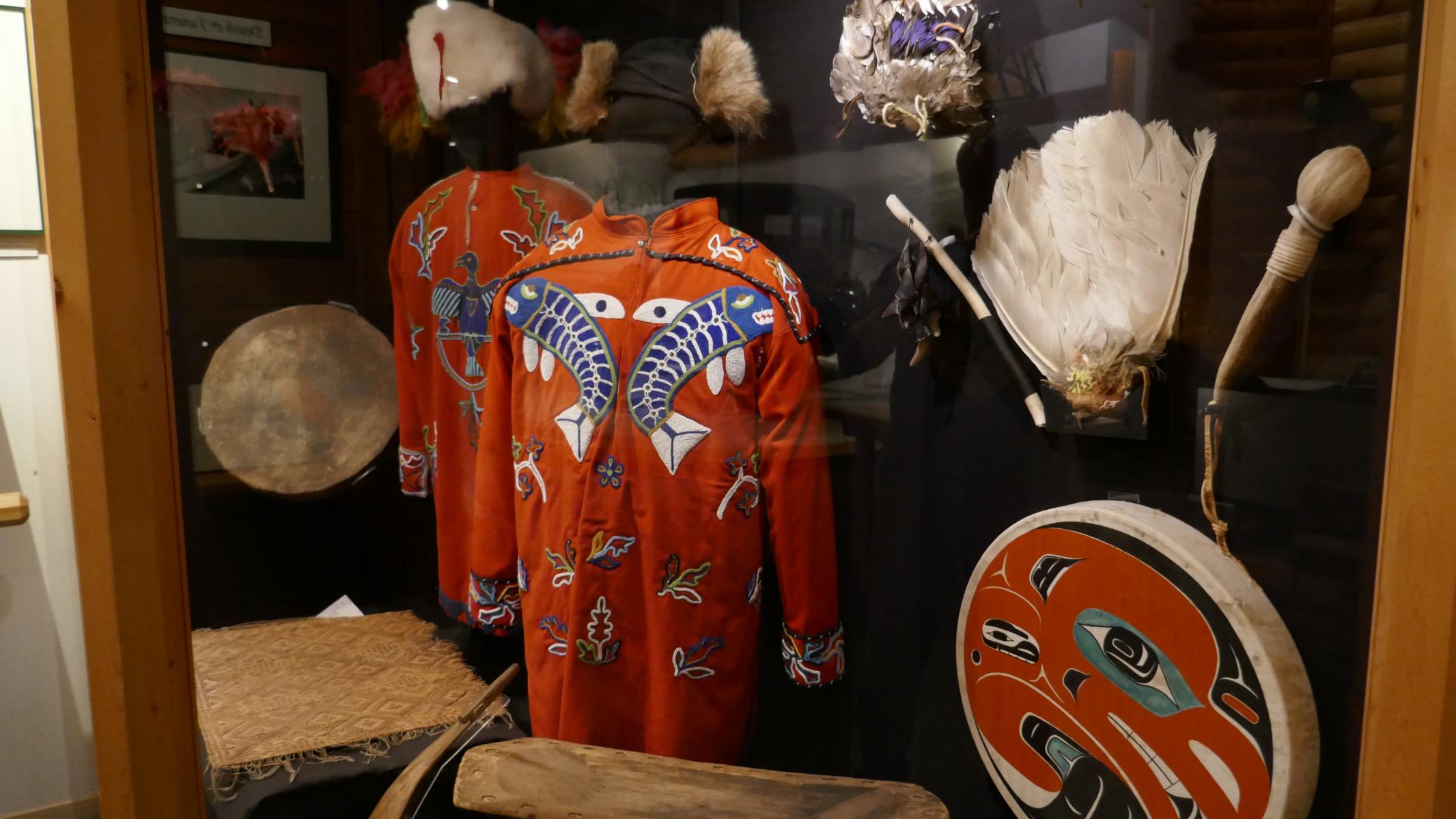
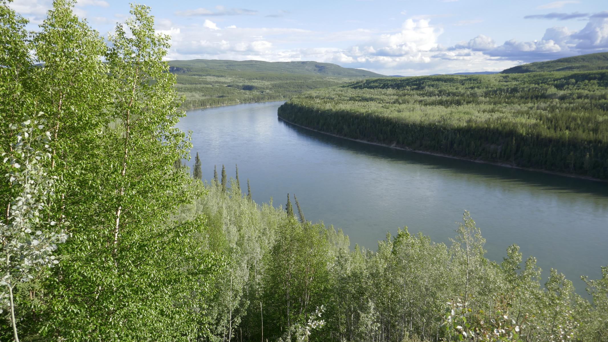
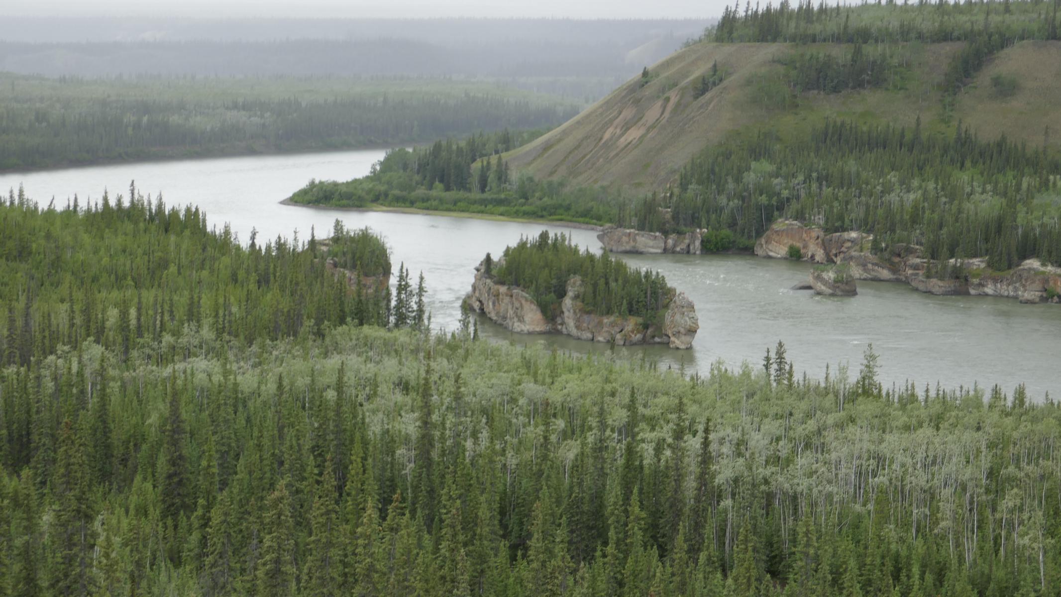
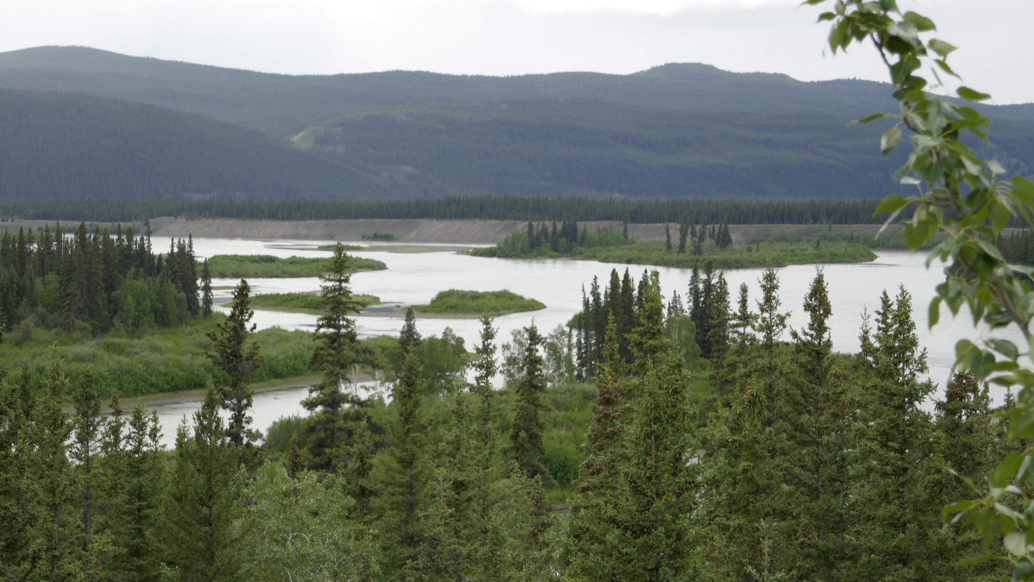
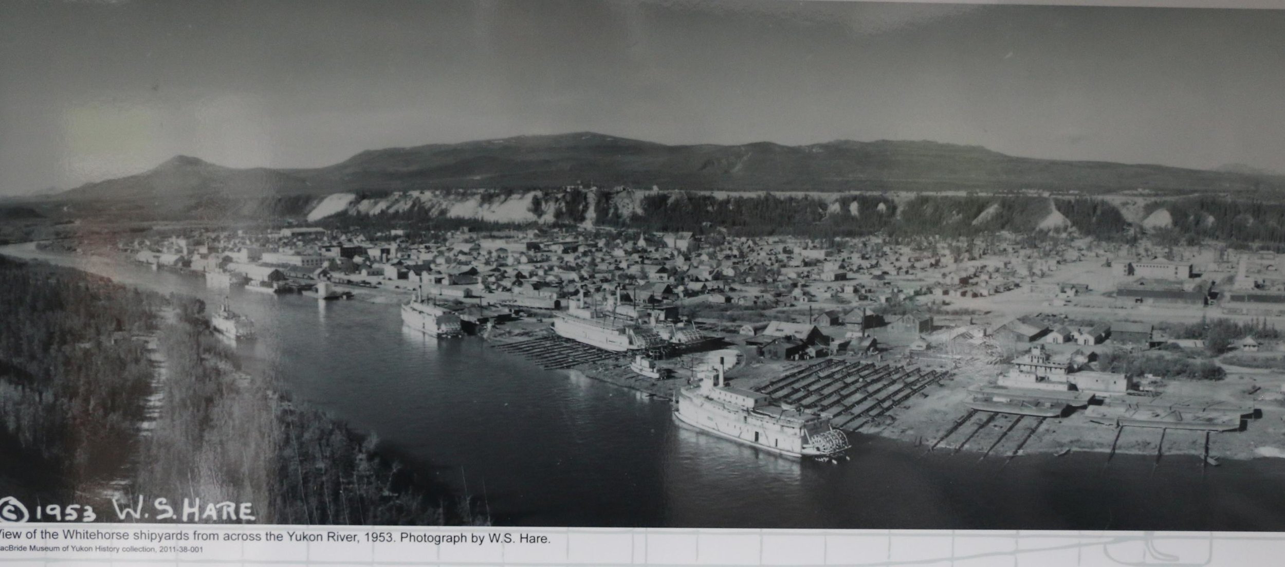
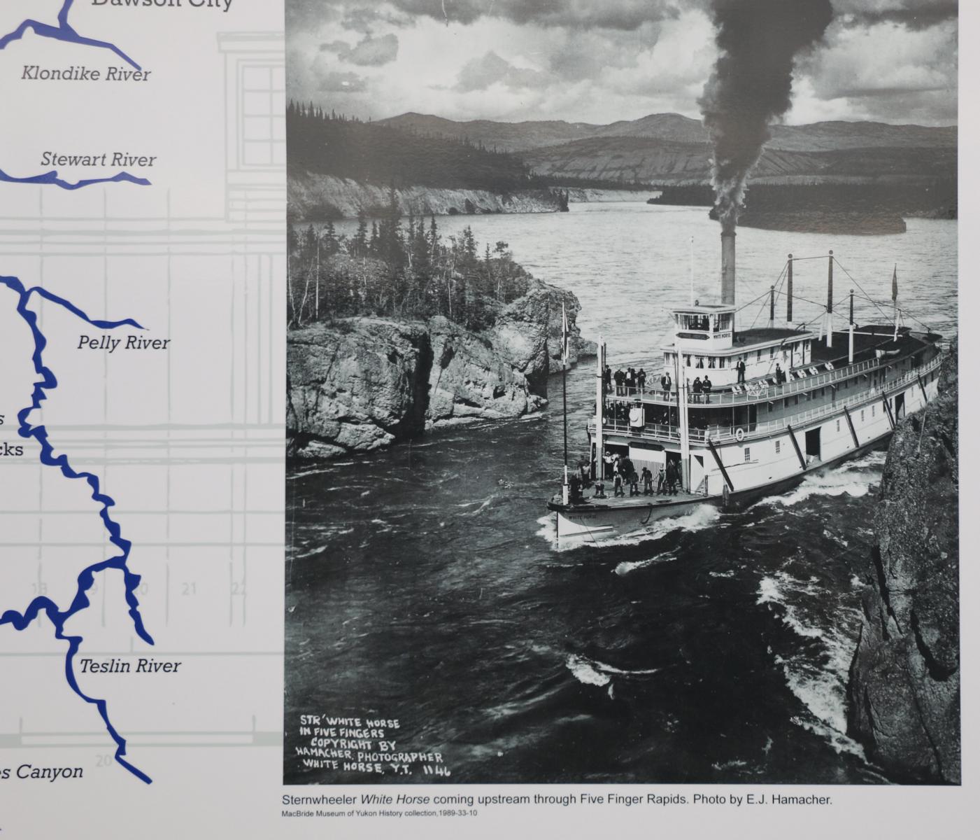
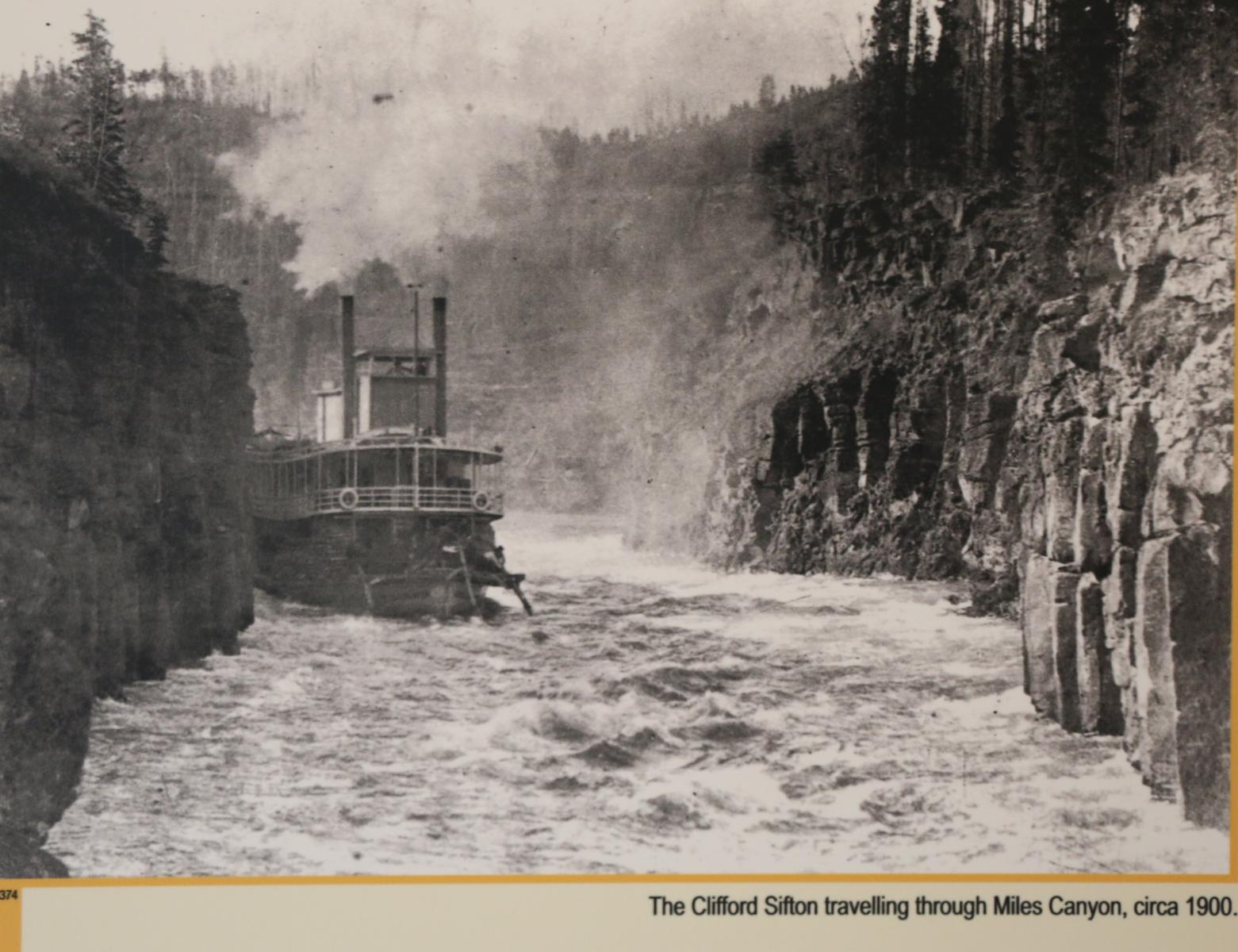
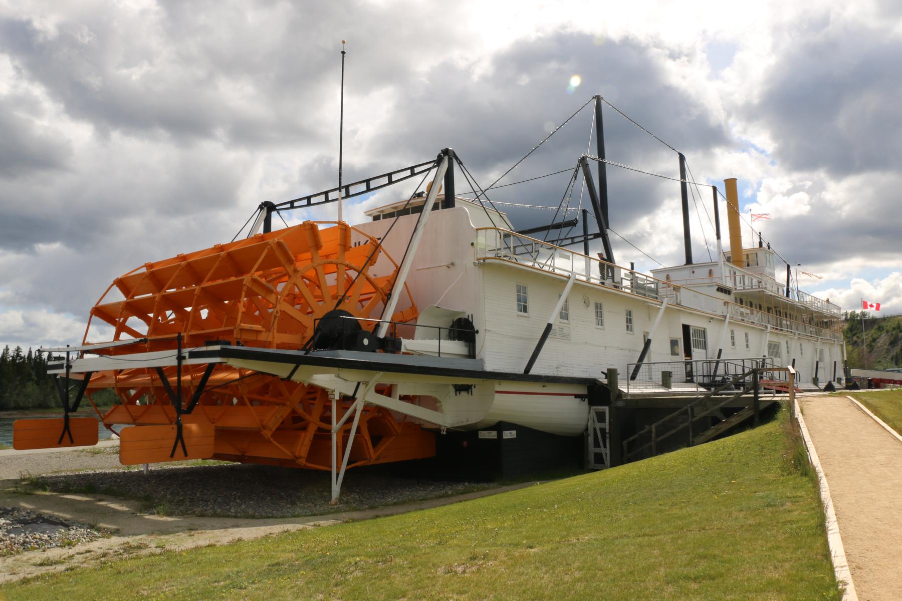
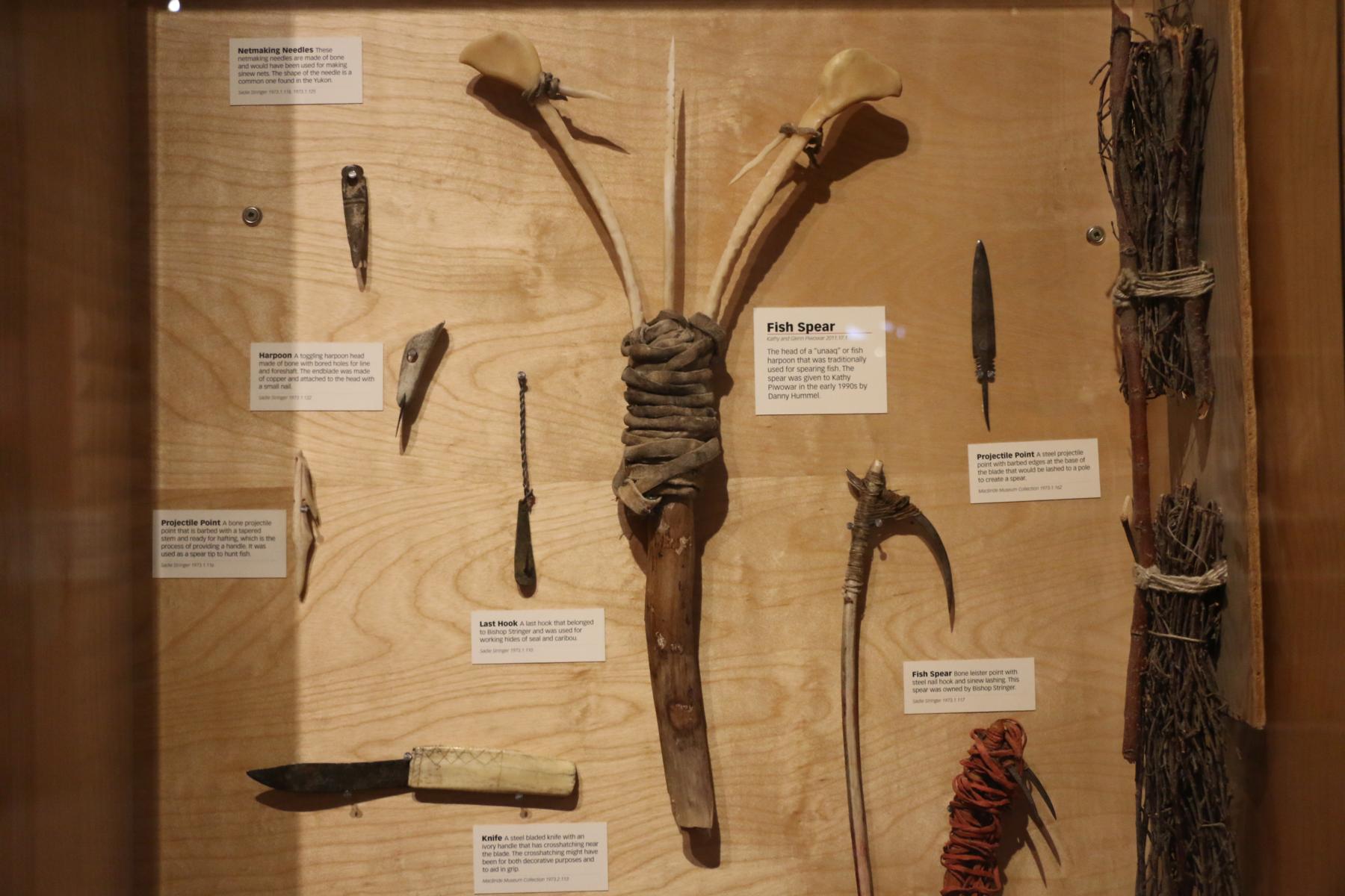
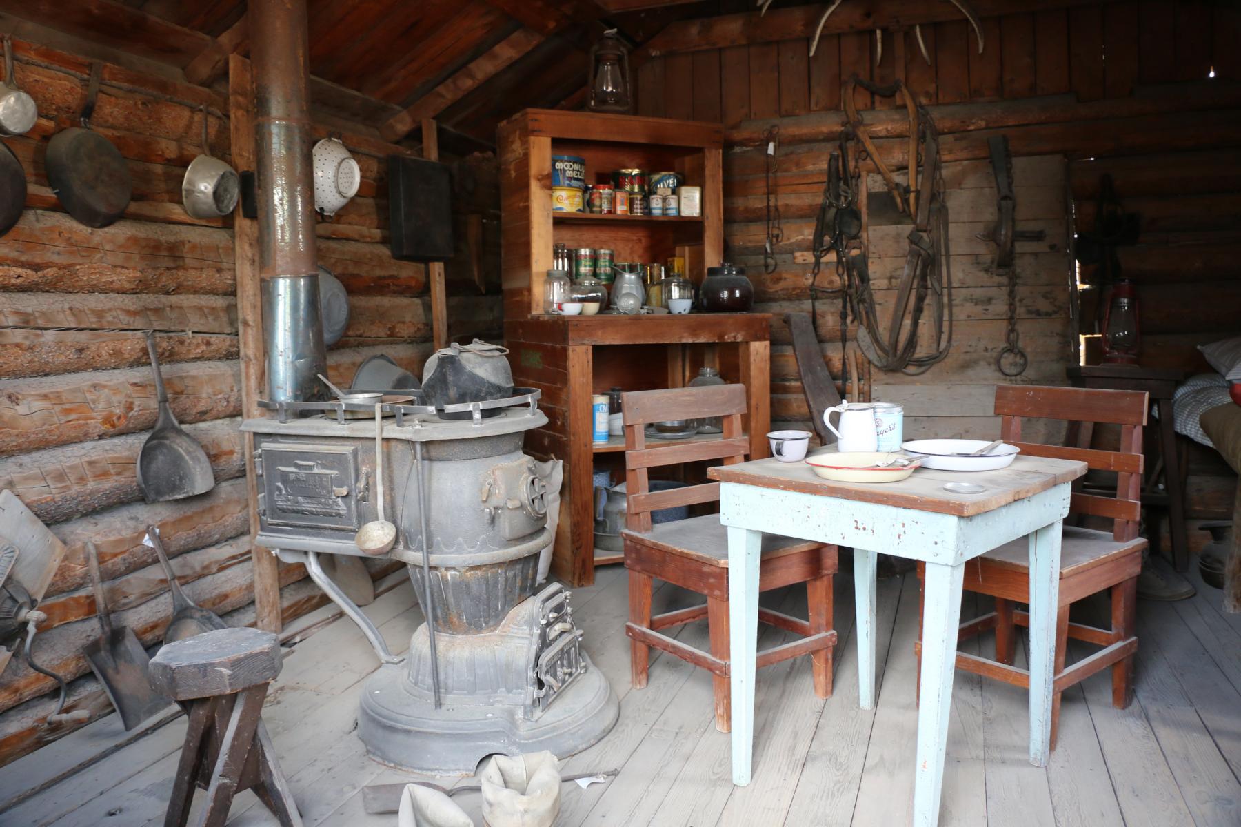
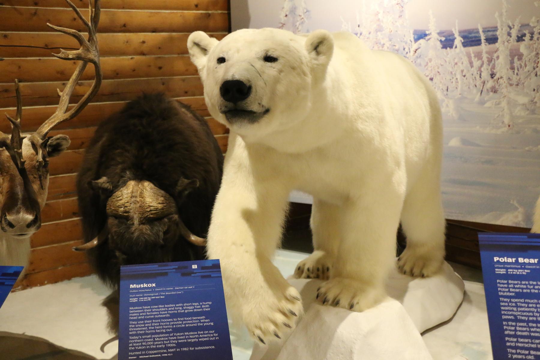
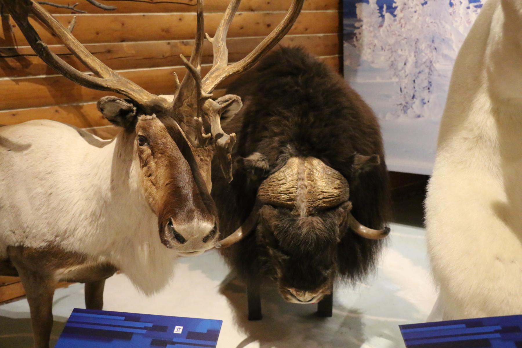
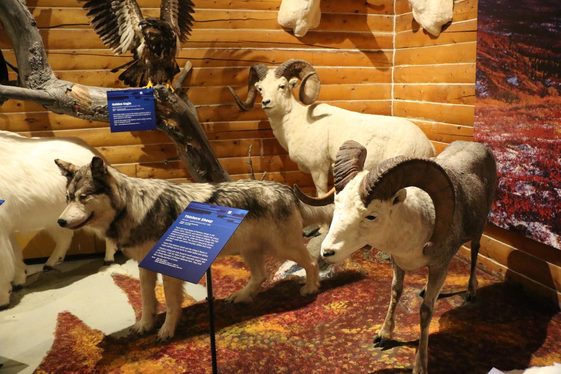
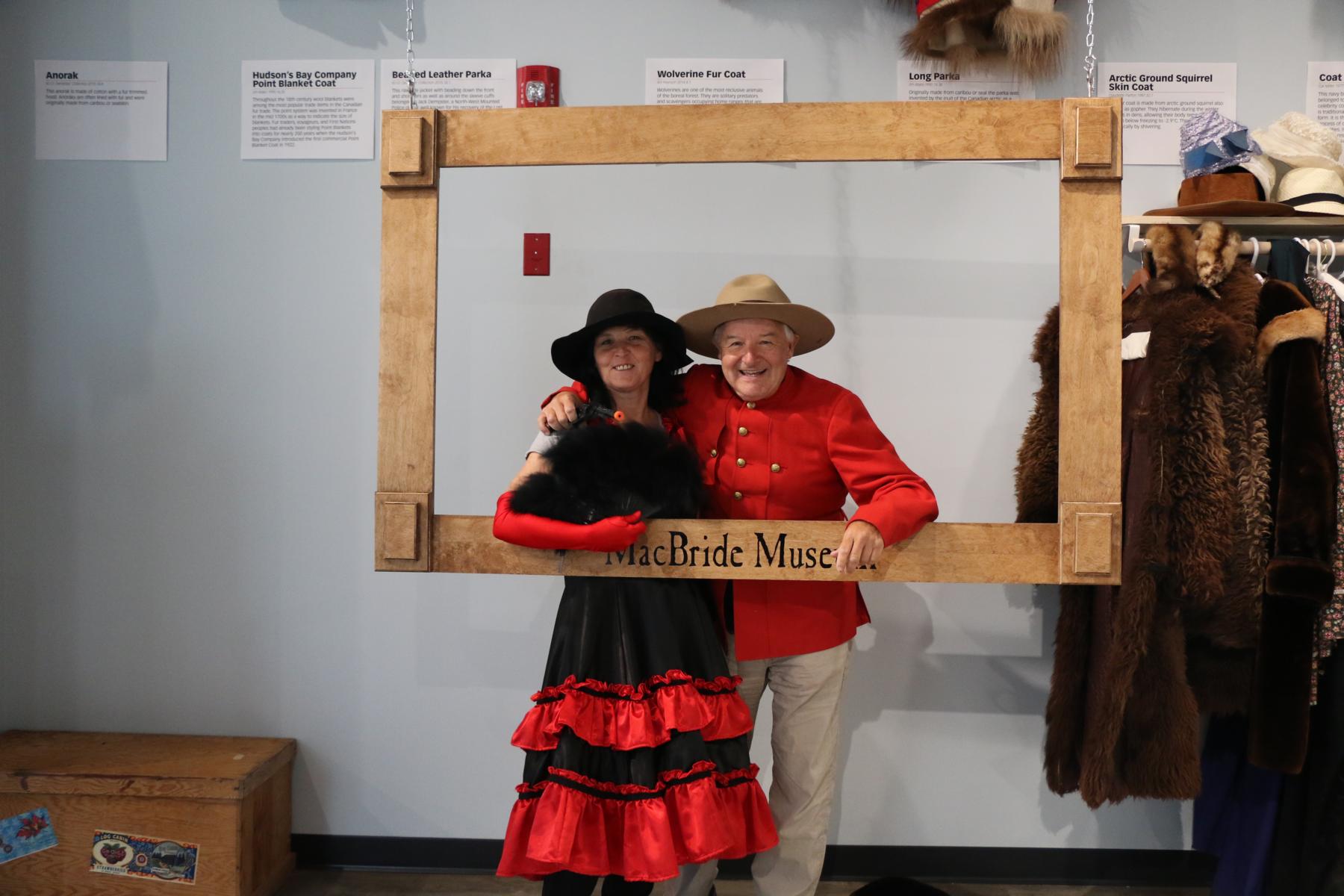
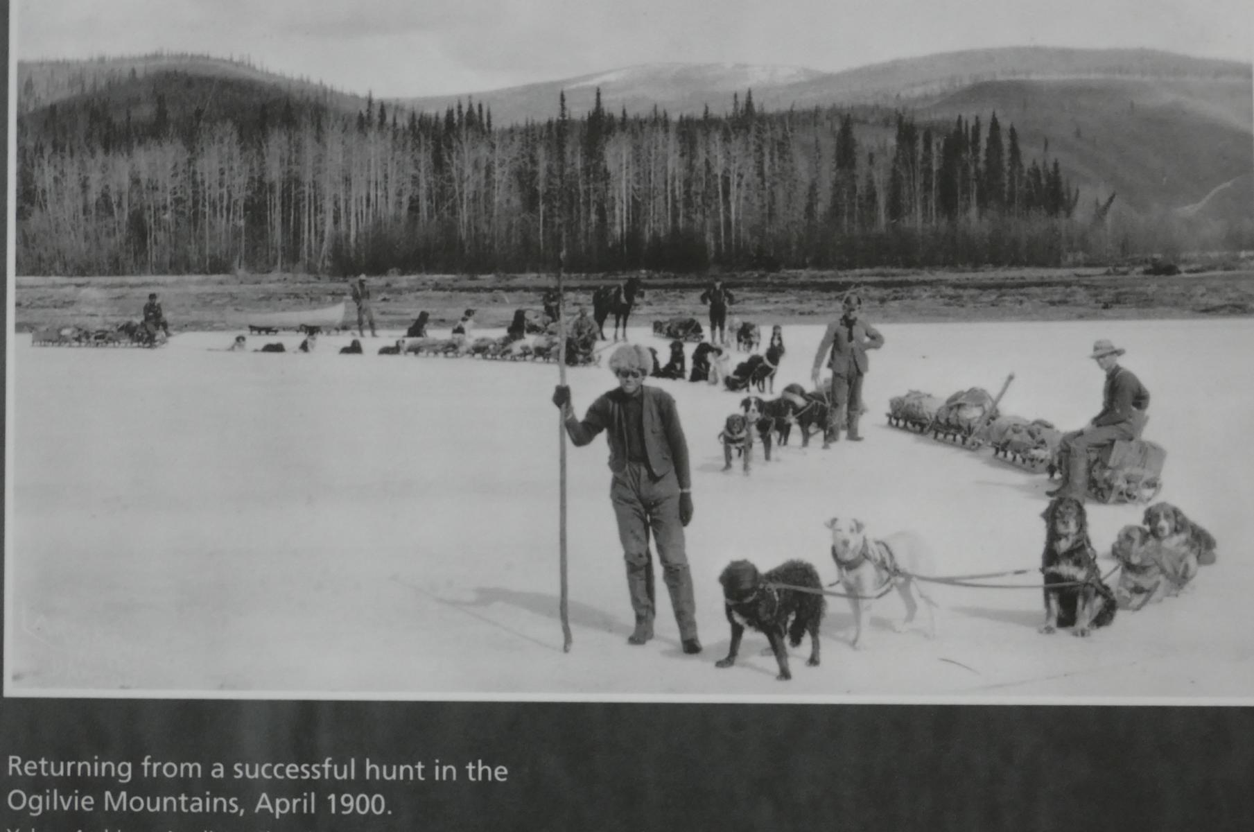
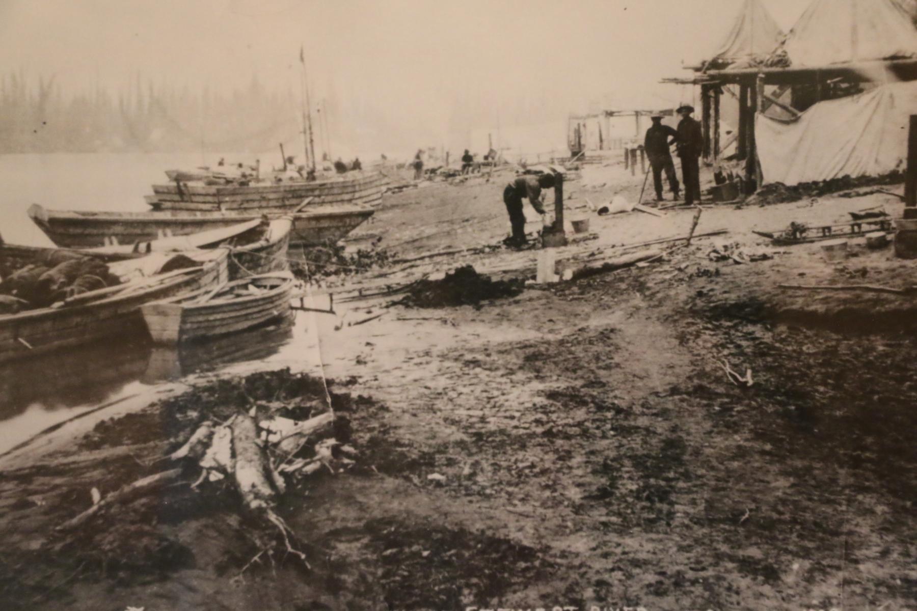
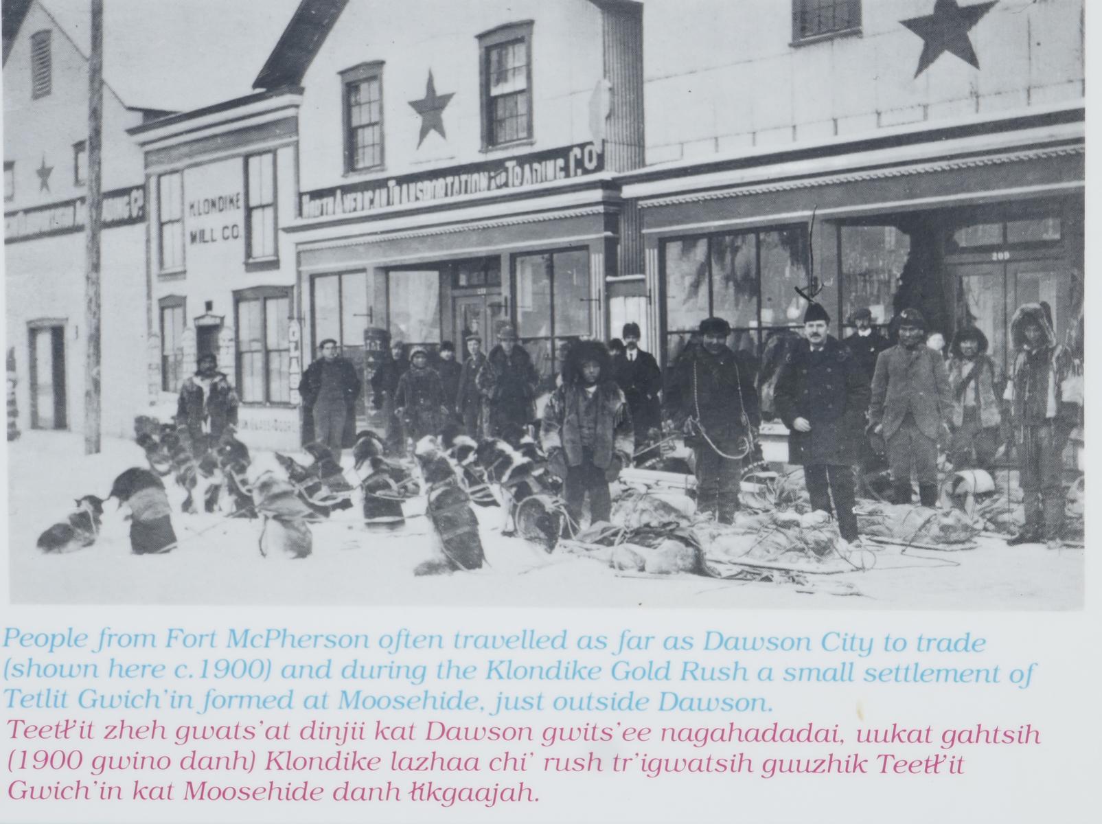
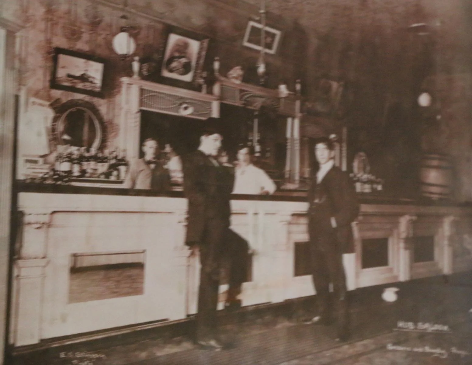
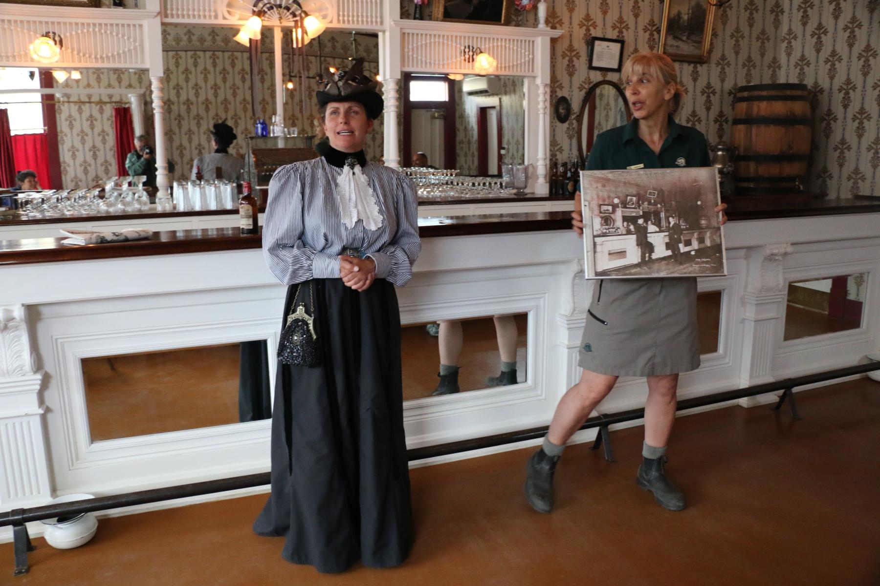
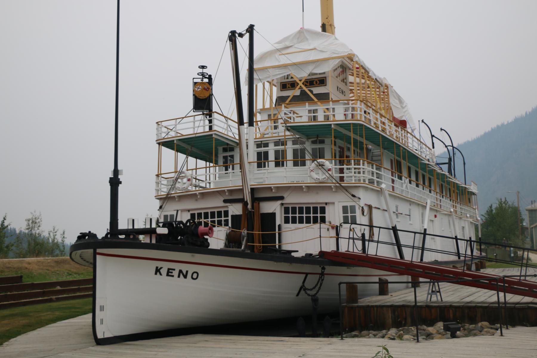
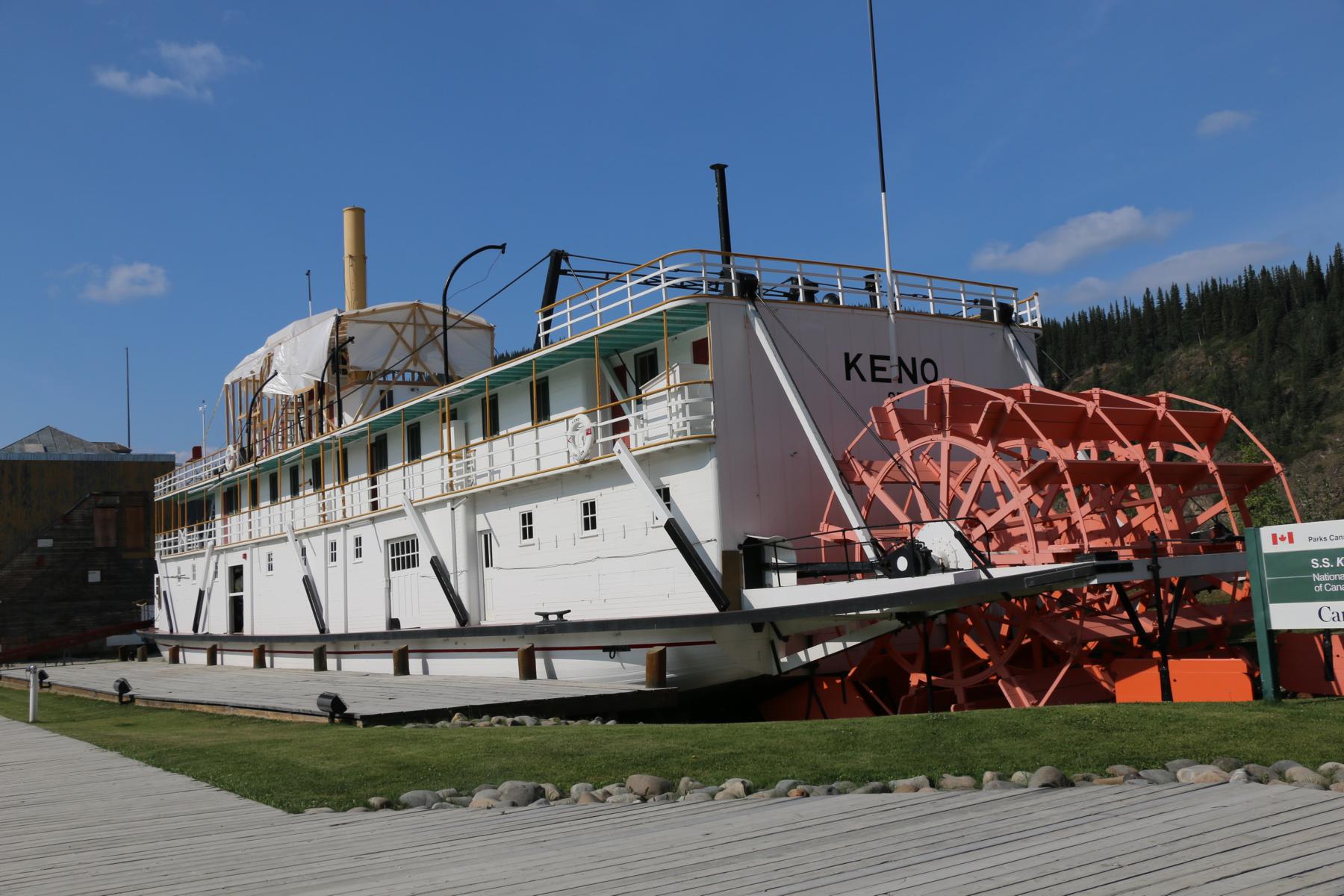
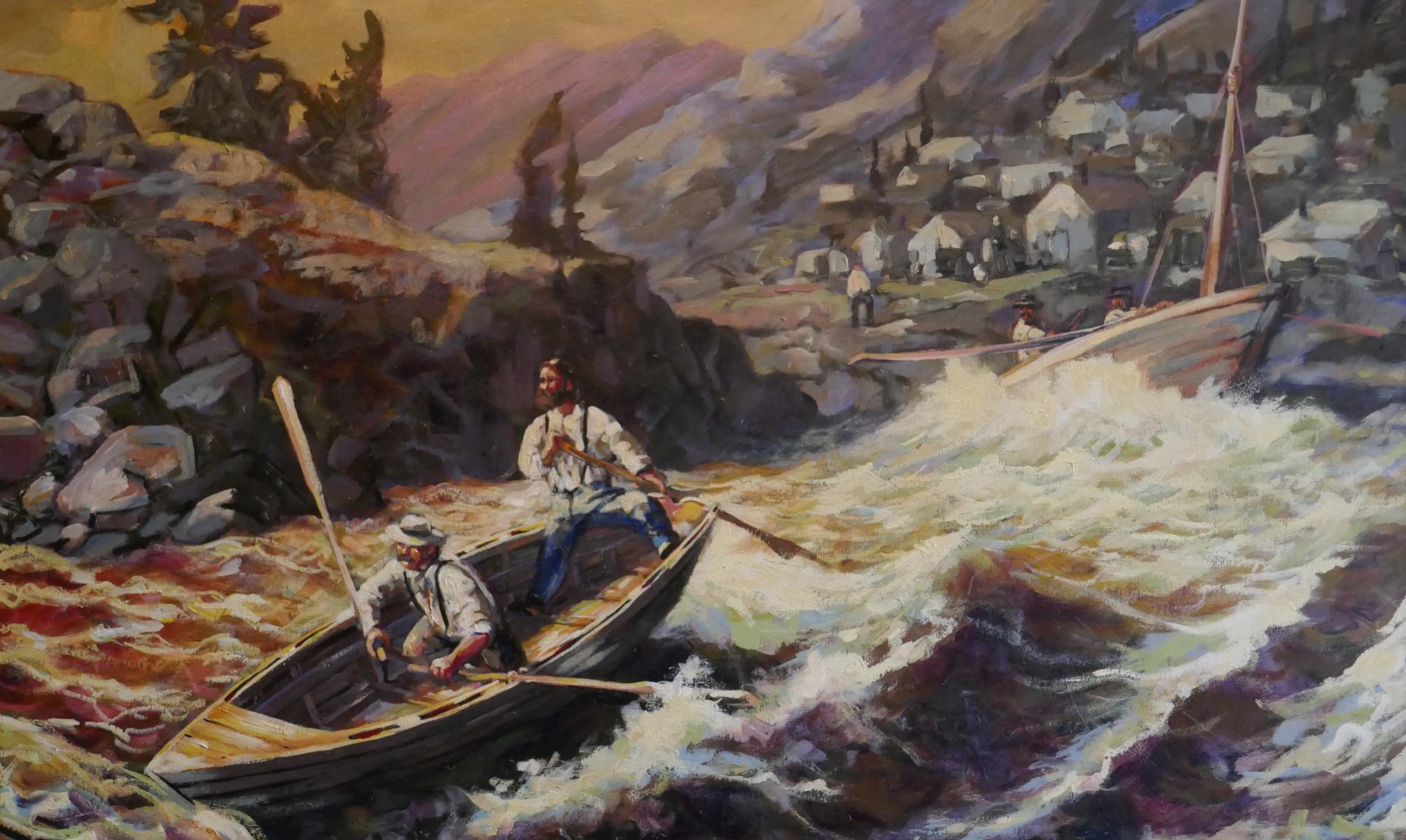
Whitehorse (the name originates from the white water) today is the most important town along the Alaska HW. It benefited as a traffic junction from the 1896/7 Klondike gold rush. As the photos show going down the canyons of the Upper Yukon River in a stern wheeler was a risky endeavor. The-MacBride-Museum is an absolute must.
Whitehorse (der Name kommt von den Schaumkronen des Wassers) ist heute die wichtigste Stadt entlang des Alaska Highways. Der Ort profitierte als wichtiger Verkehrsknotenpunkt vom 1896/7 Klondike Goldrausch. Wie die Bilder belegen war die Fahrt mit einem Raddampfer durch die engen Canyons des oberen Yukon Flusses eine nicht ungefährliche Sache. Das MacBride Museum ist absolut sehenswert.
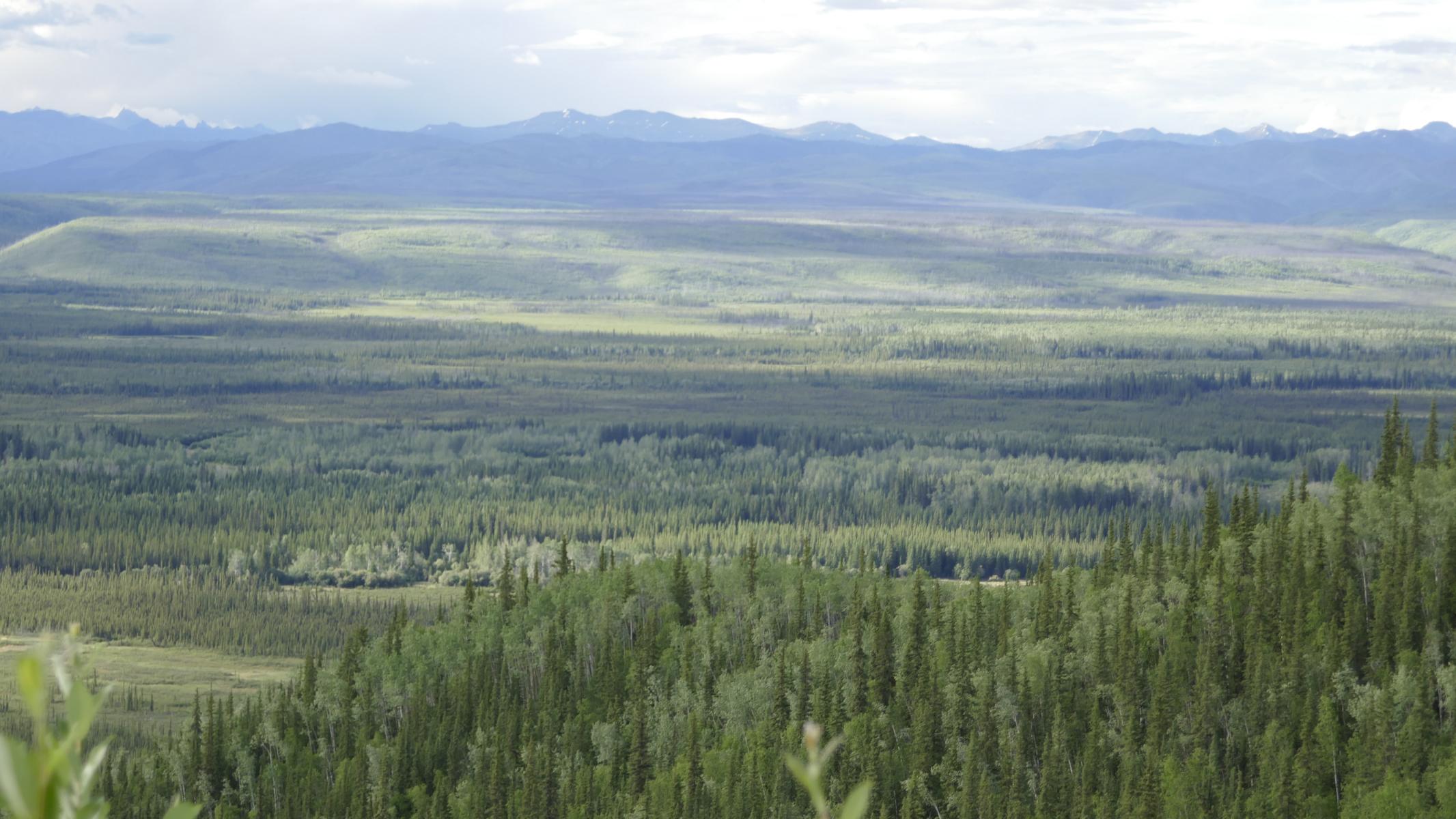
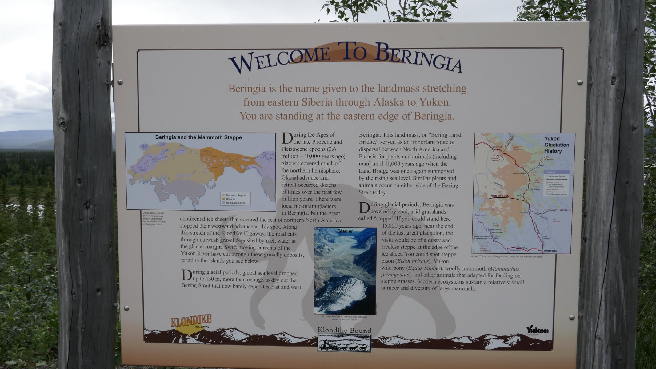
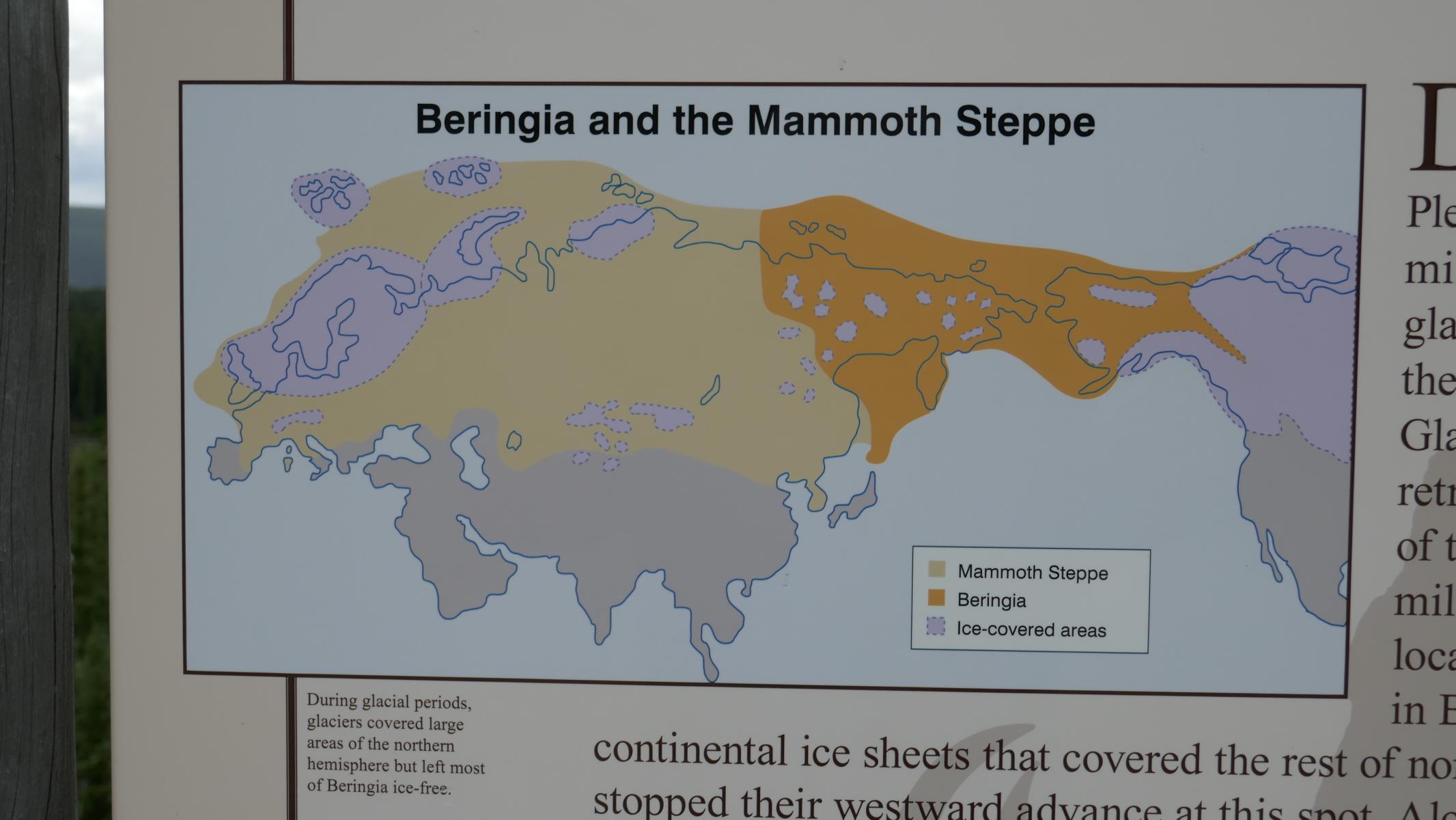
Driving further north-west one is reminded that this region during the past ice-ages was connected to Asia through a land bridge called Beringia.
Wenn man weiter nach Nord-Westen fährt wird man daran erinnert, dass diese Region während der vergangenen Eiszeiten durch eine „Beringia“ genannte Landbrücke mit Asien verbunden war.
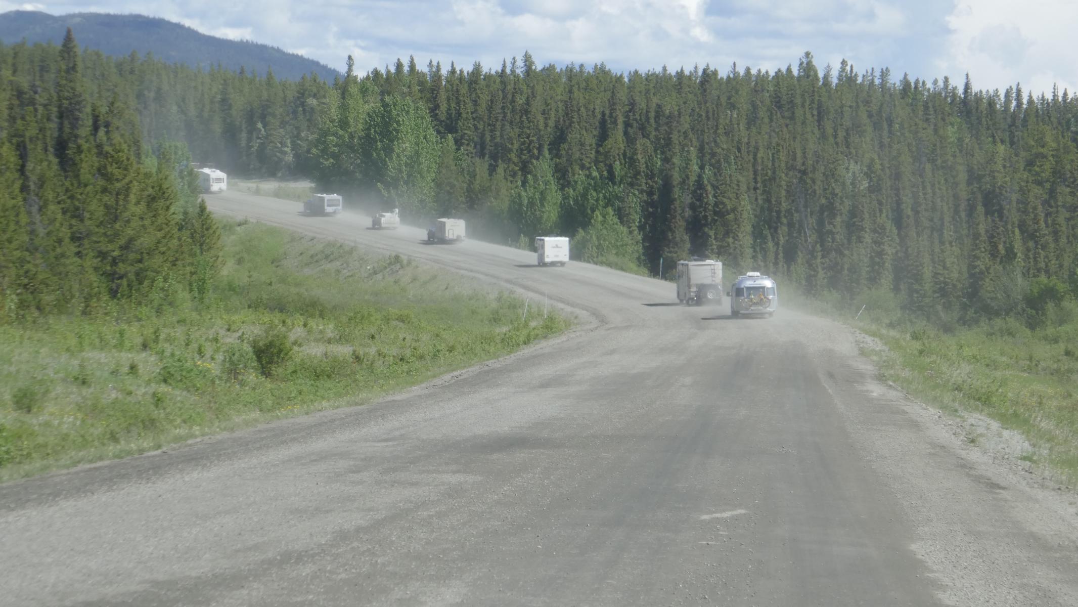
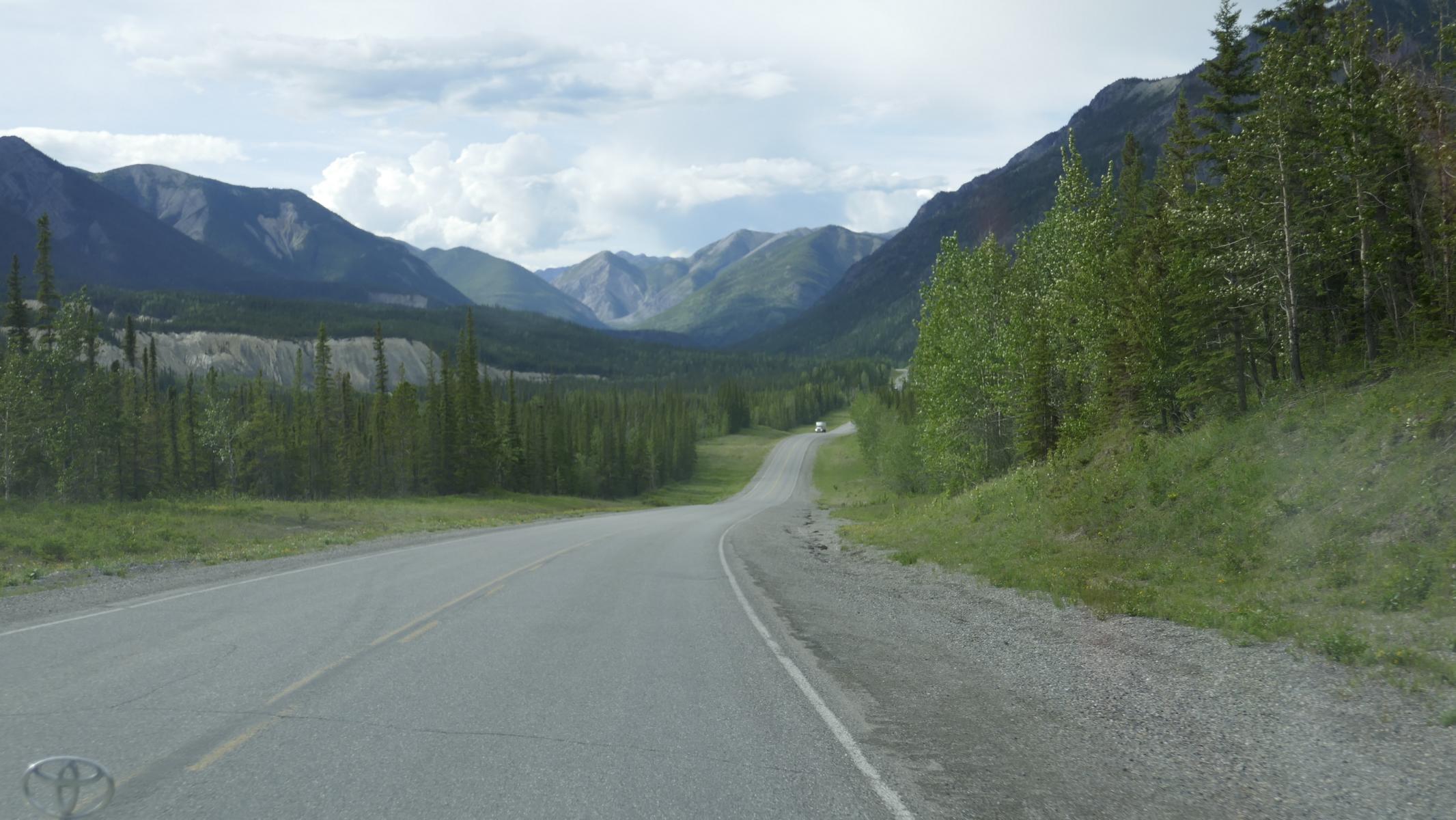
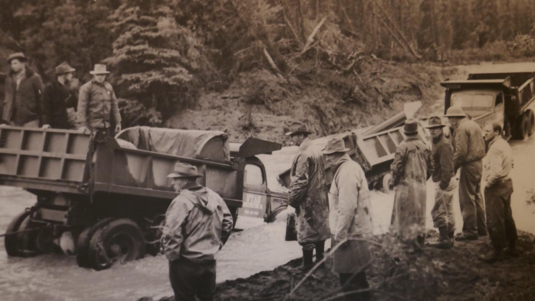
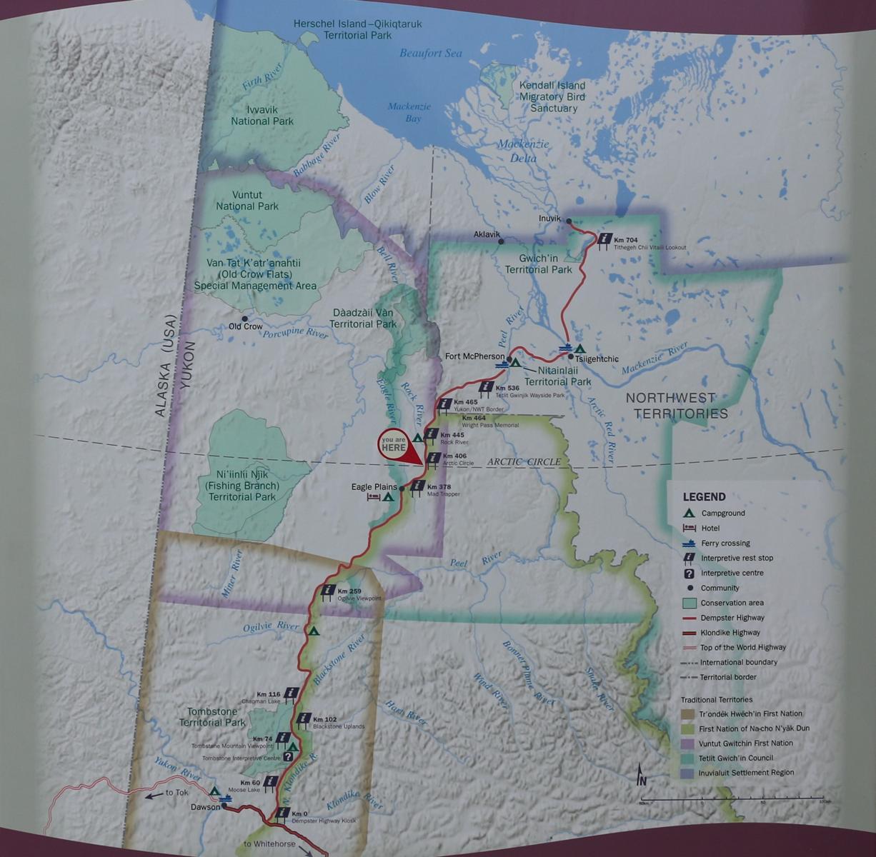
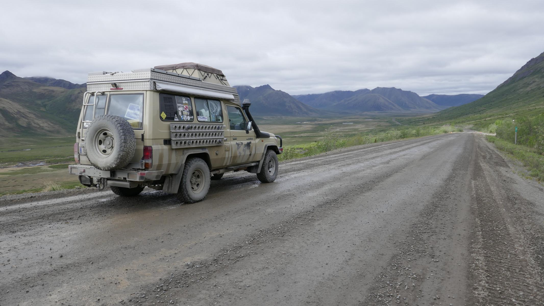
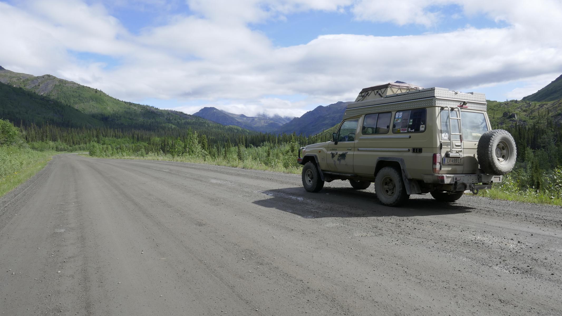
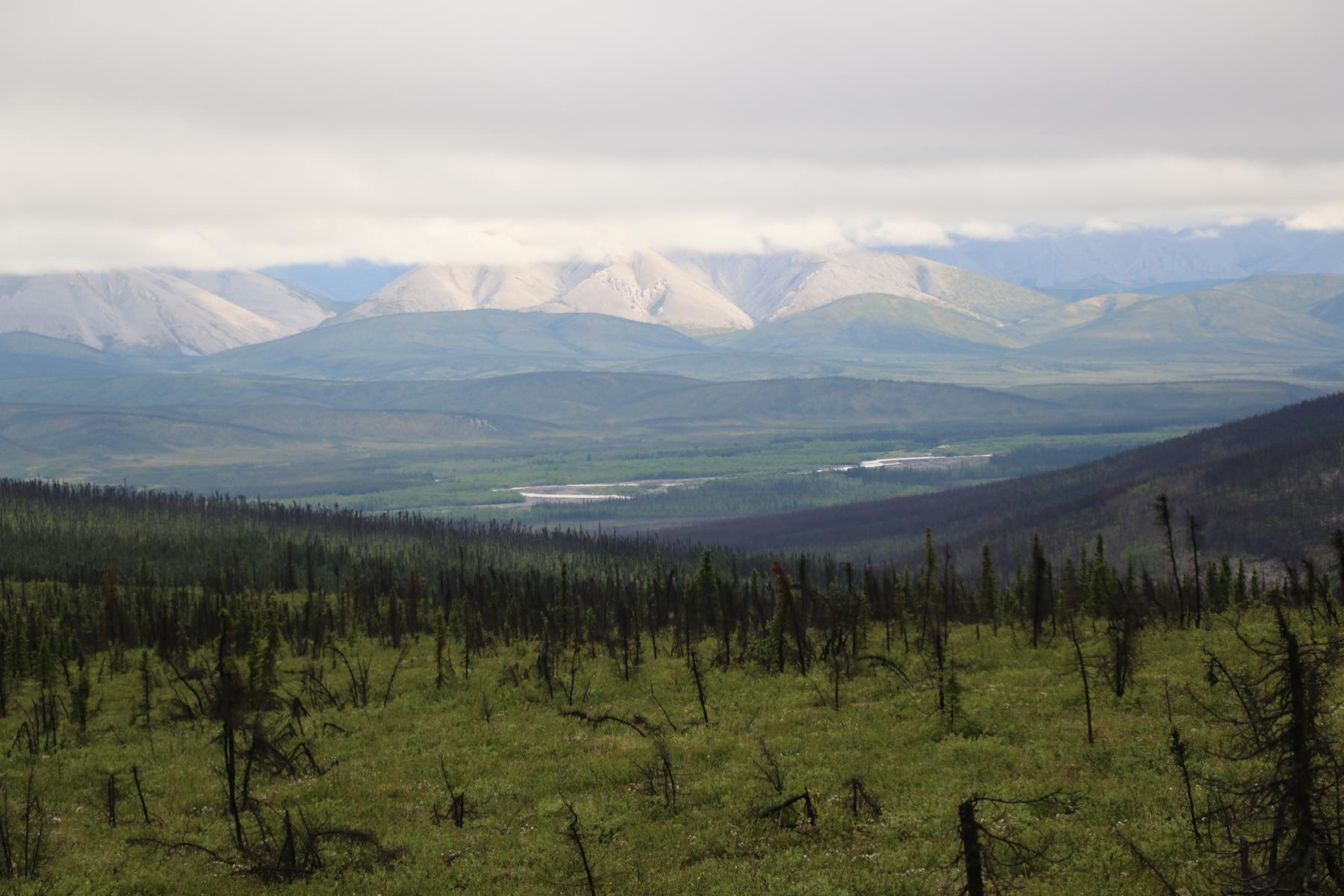
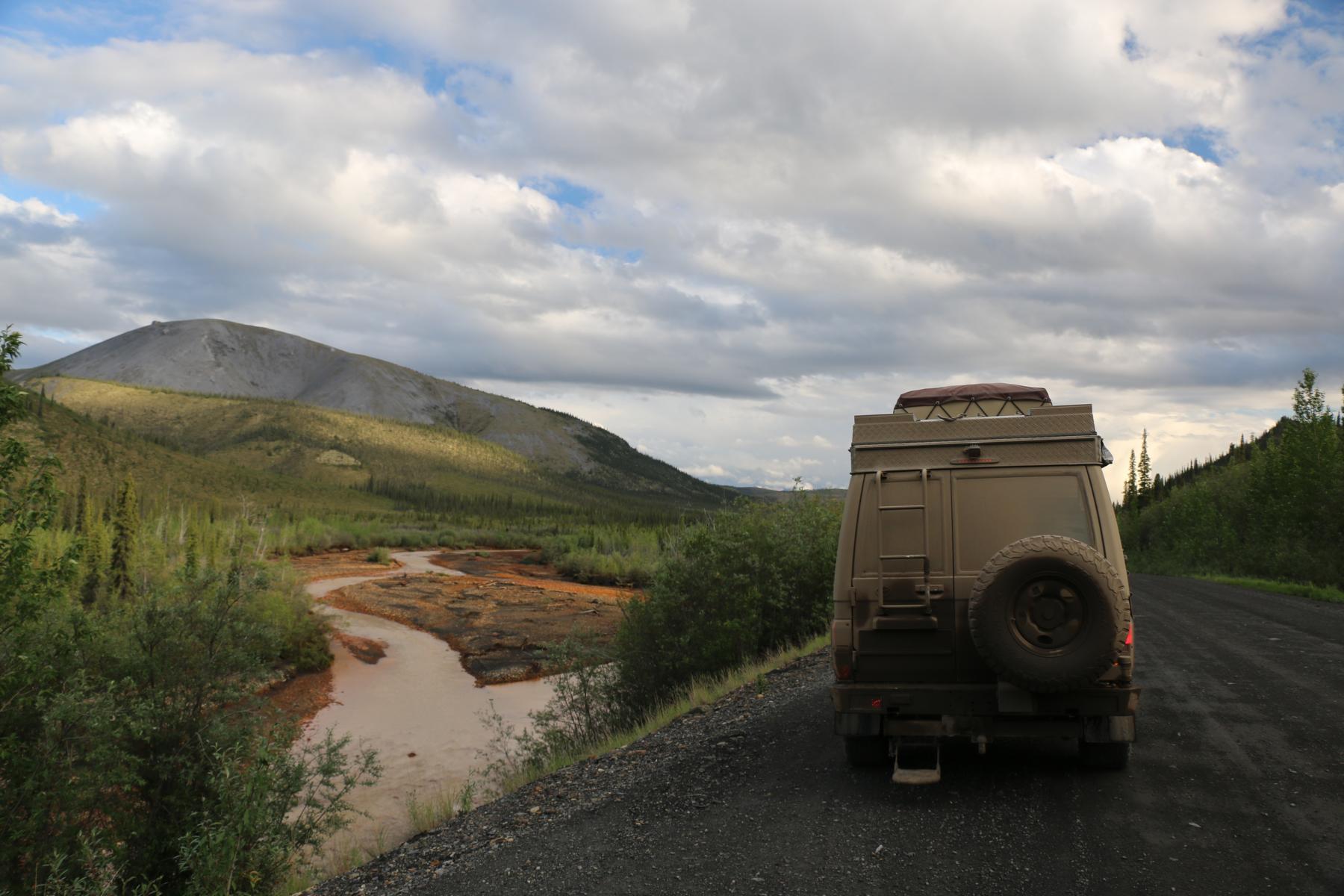
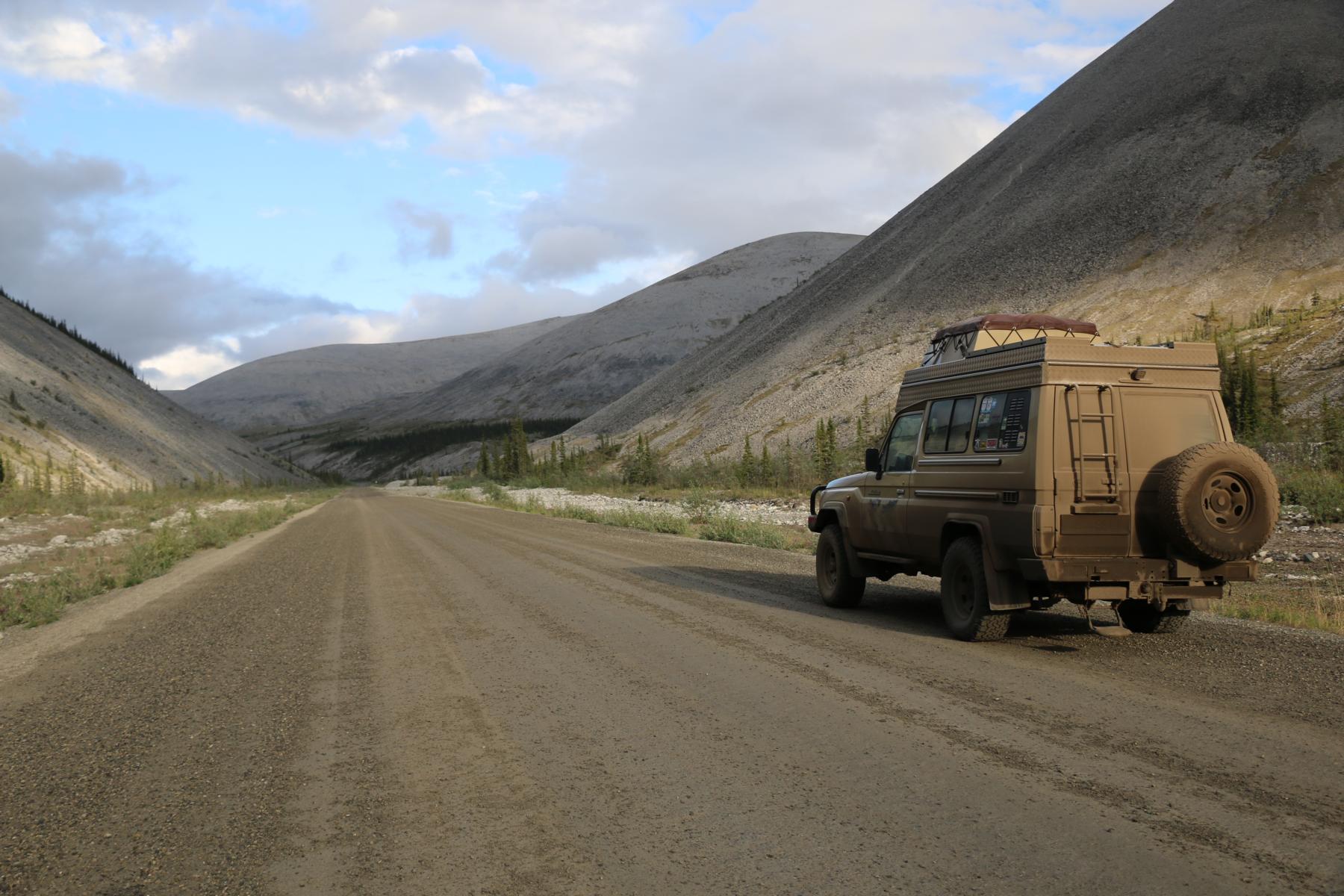
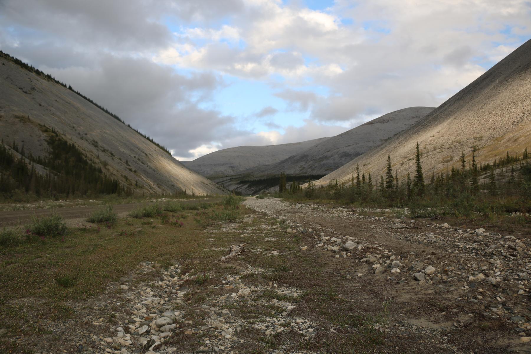
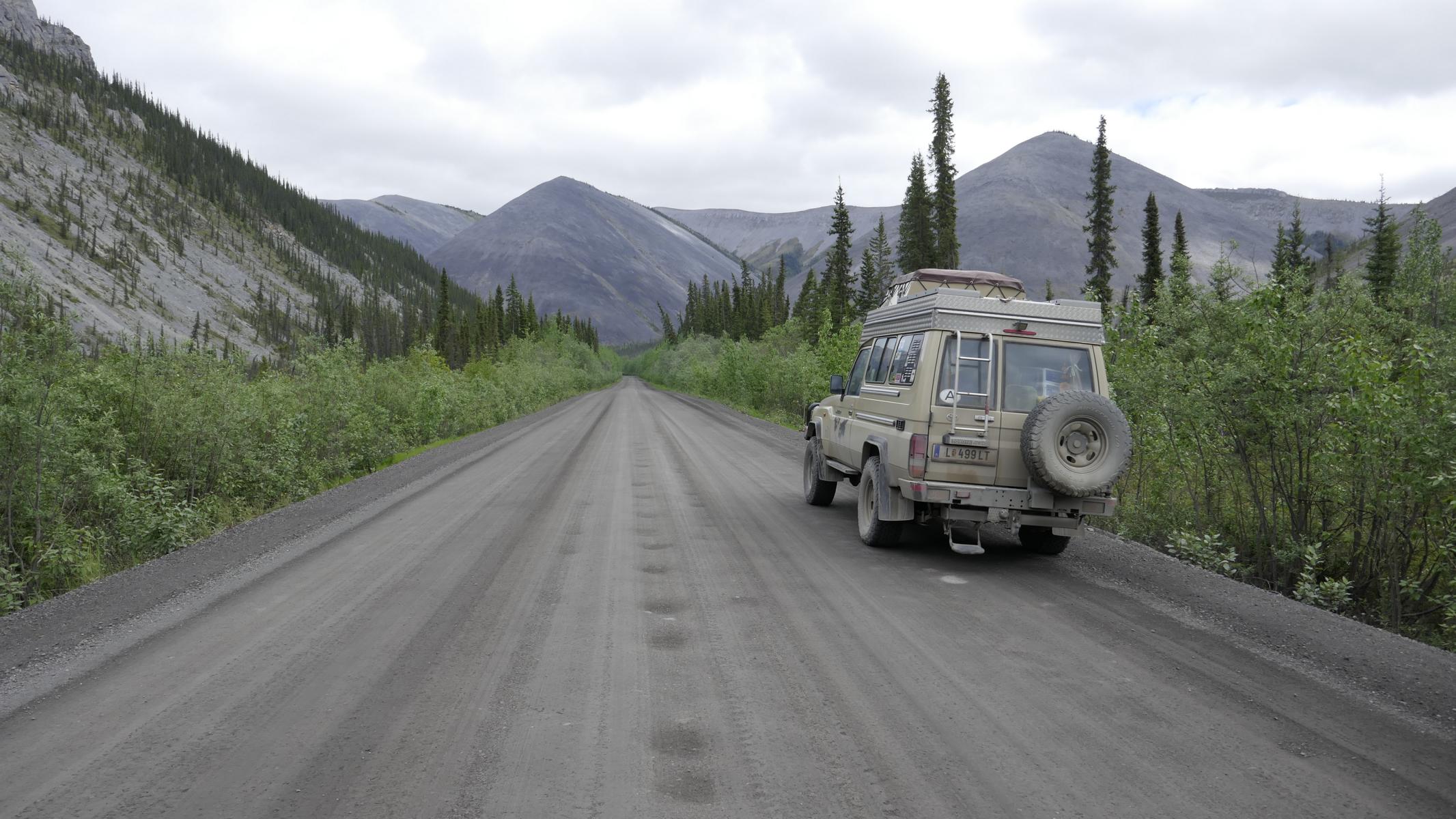
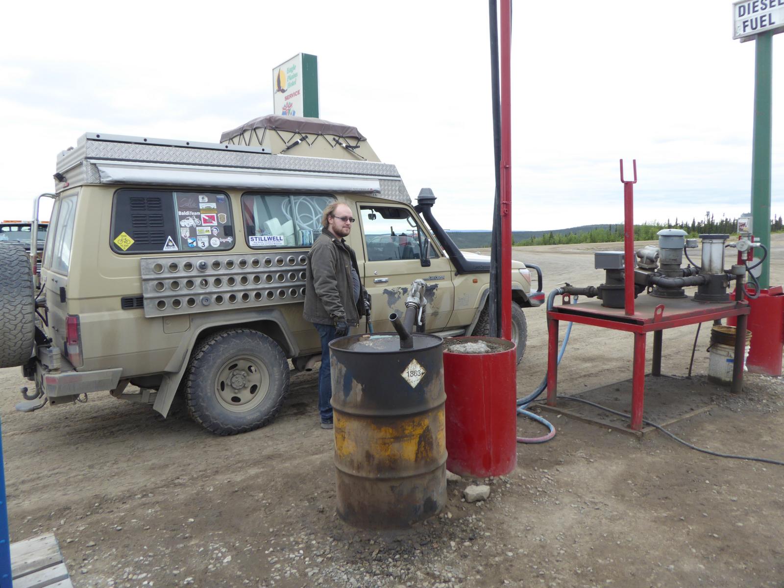
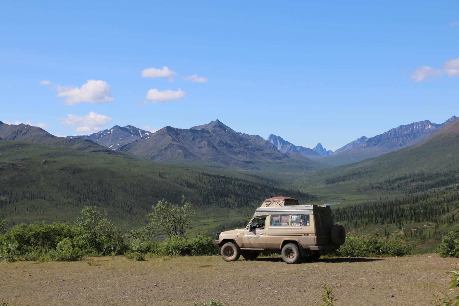
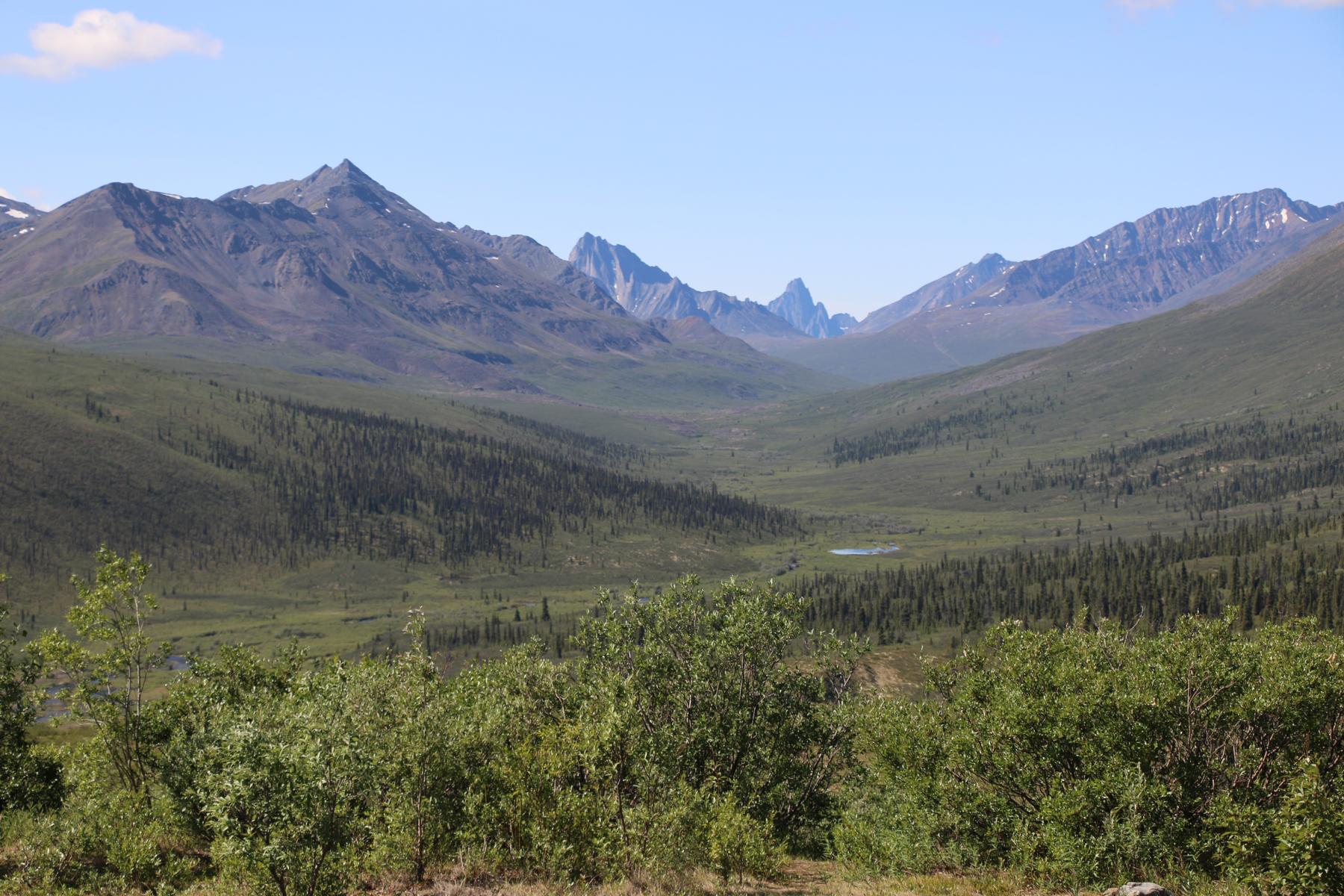
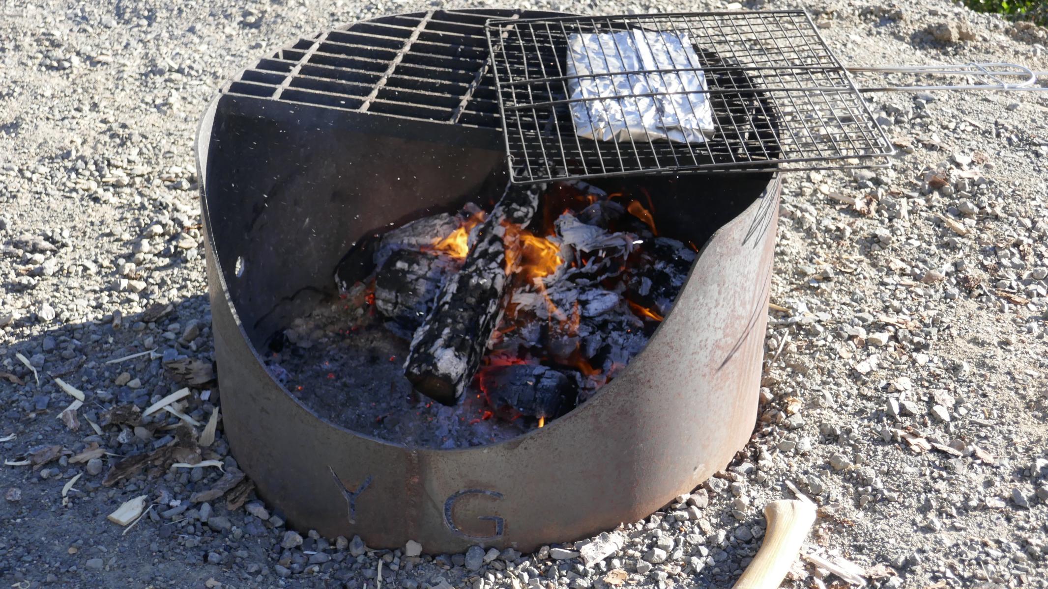
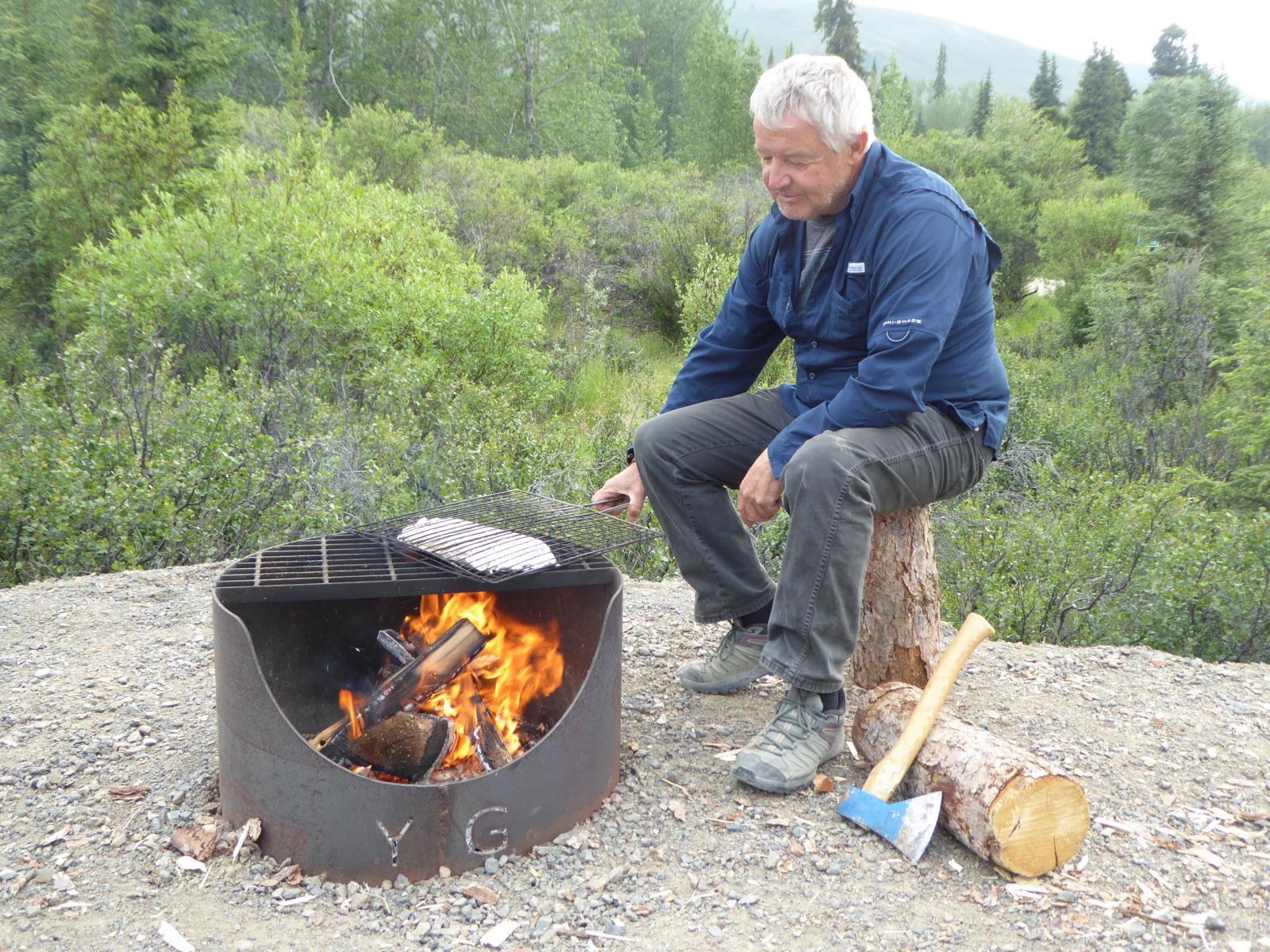
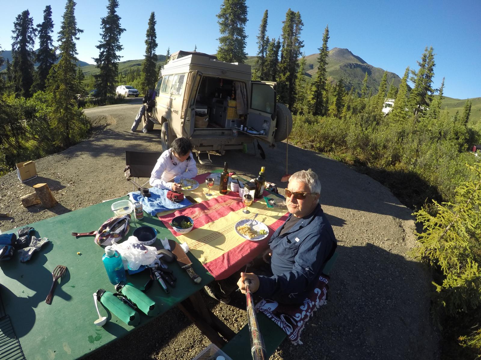
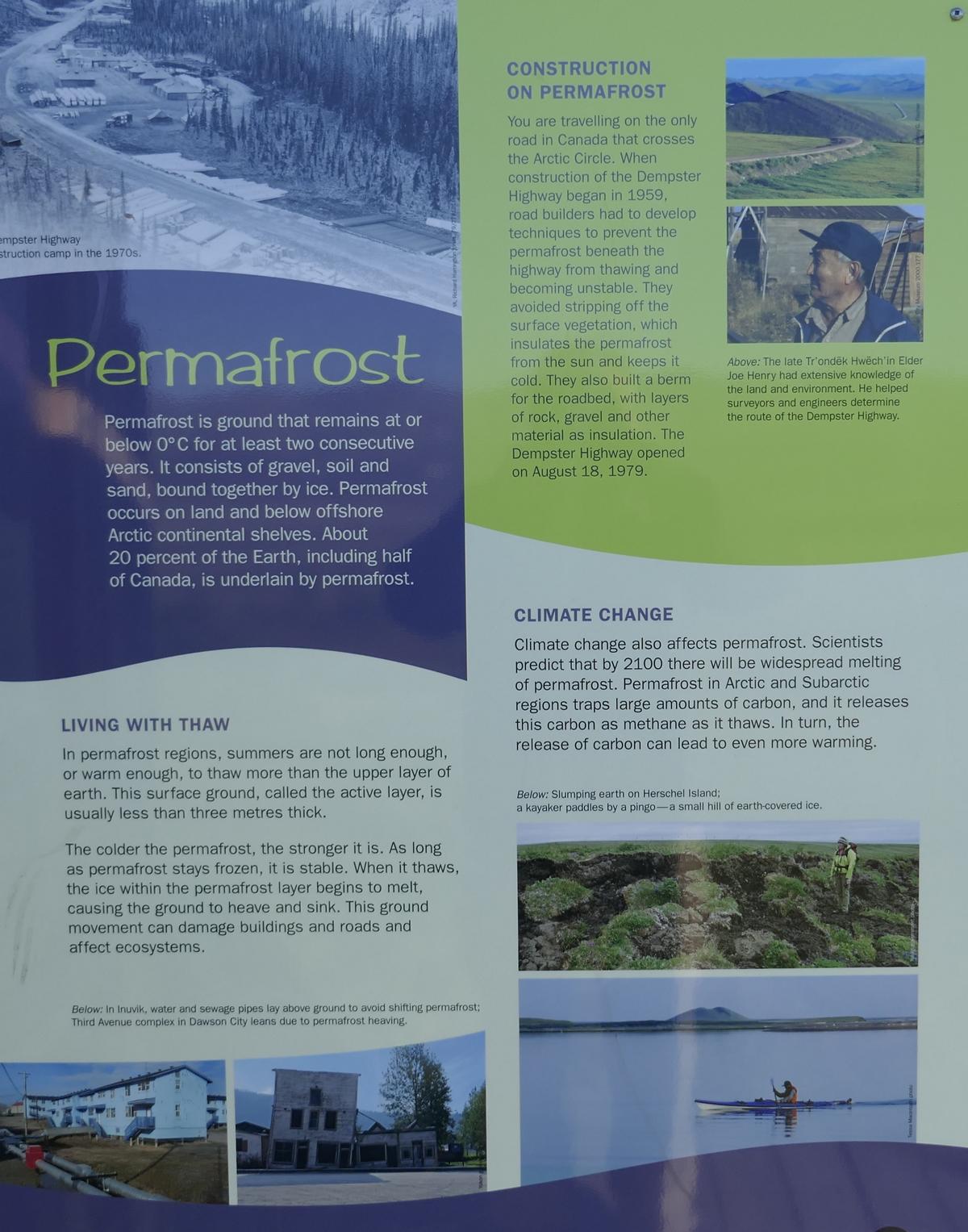
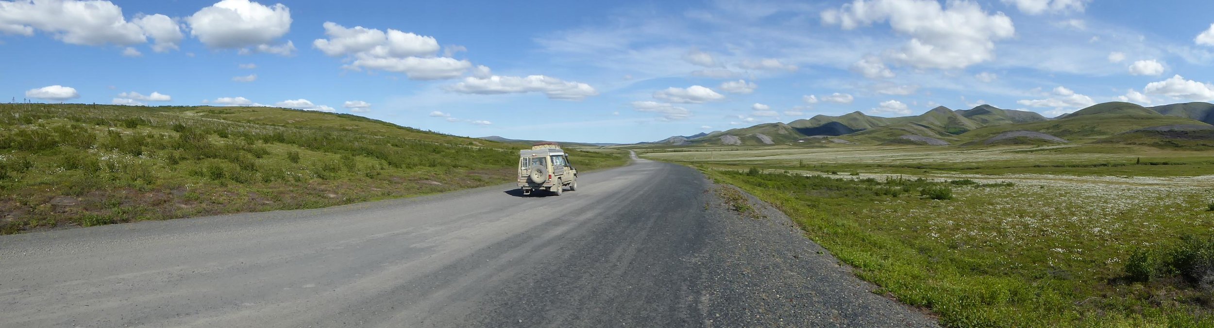
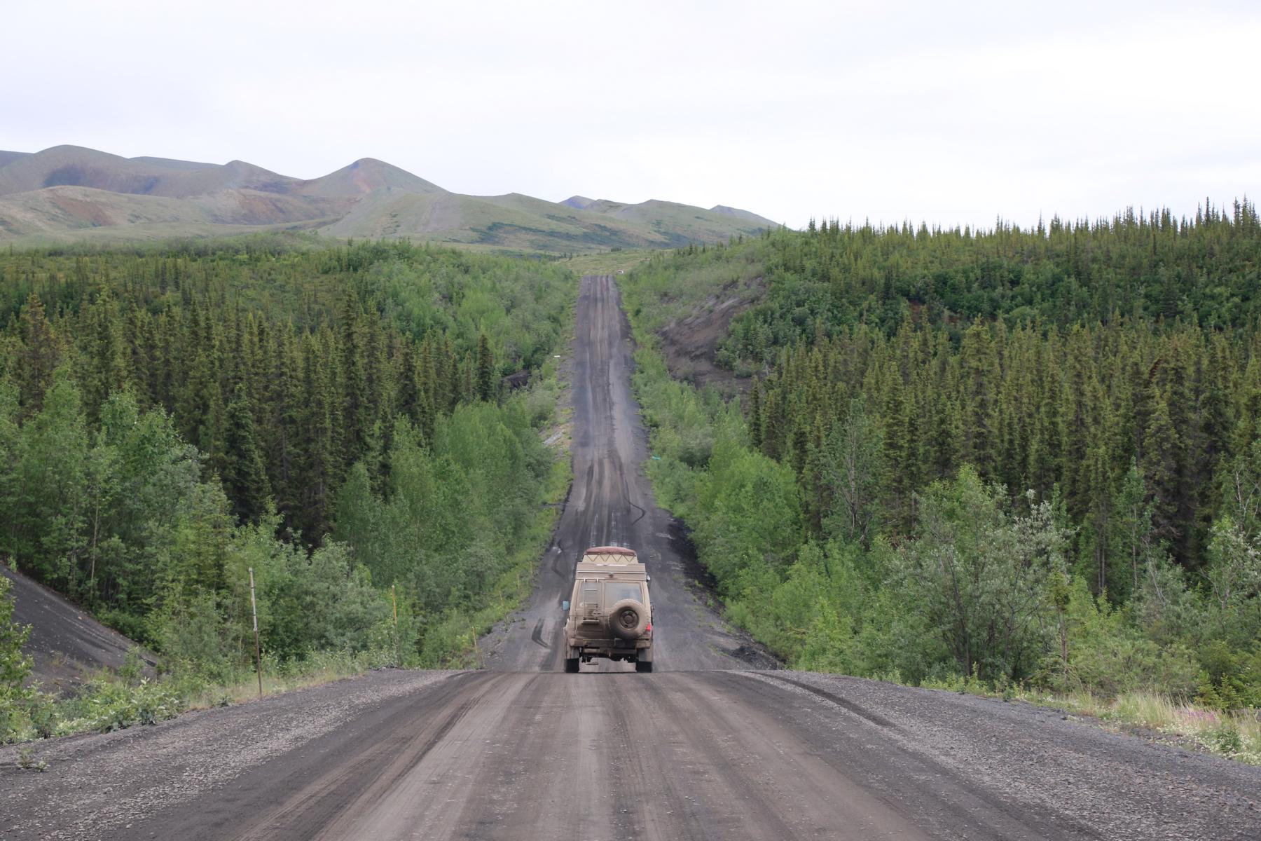
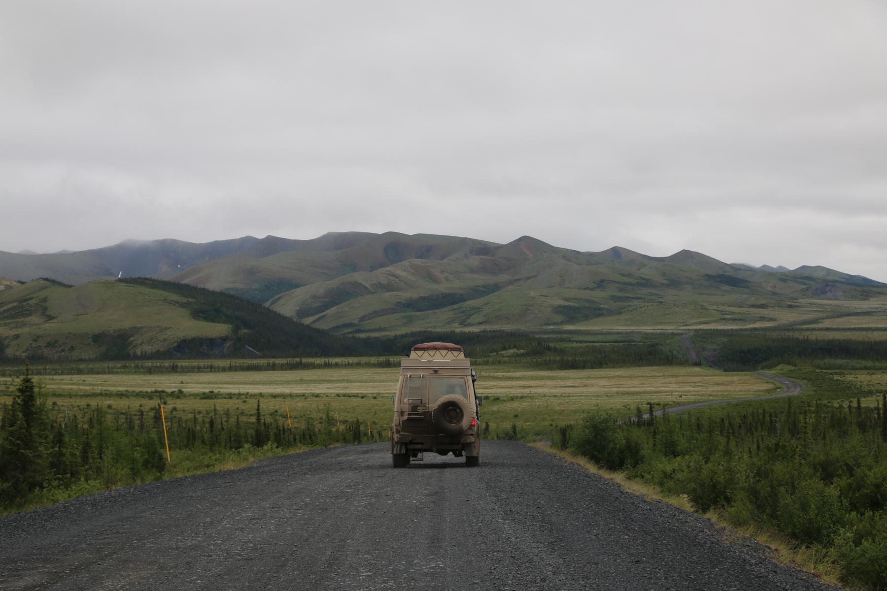
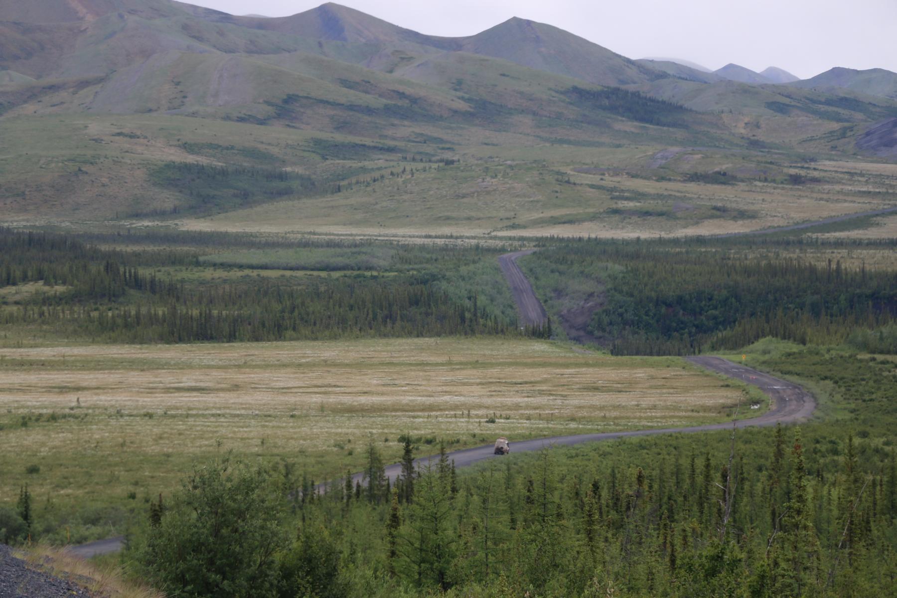
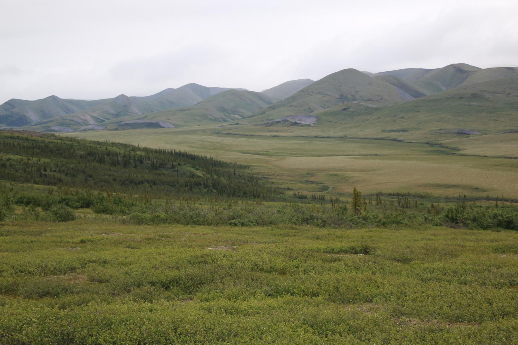
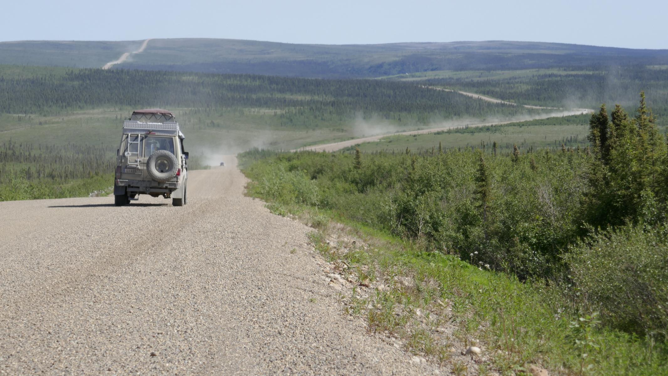
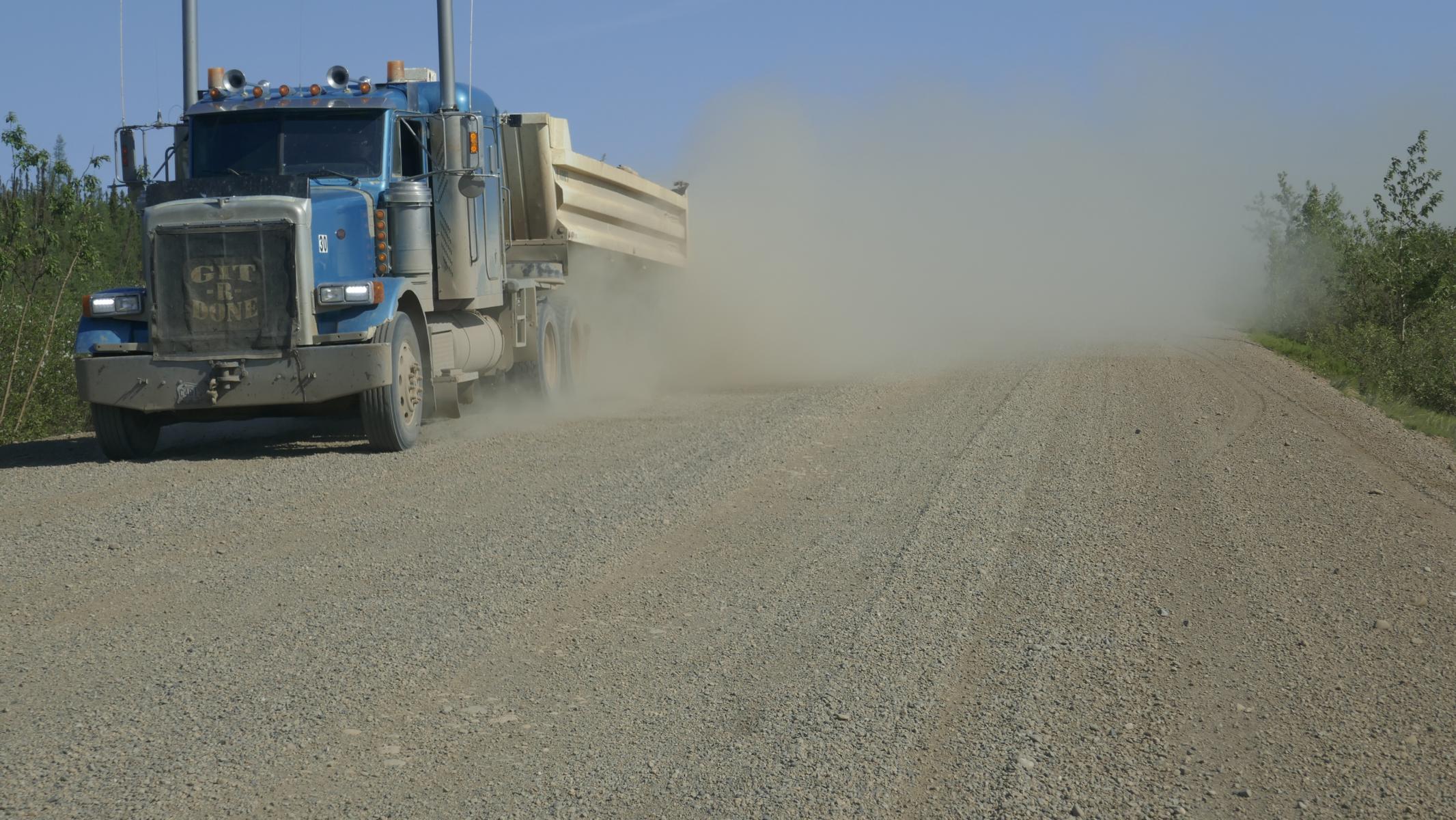
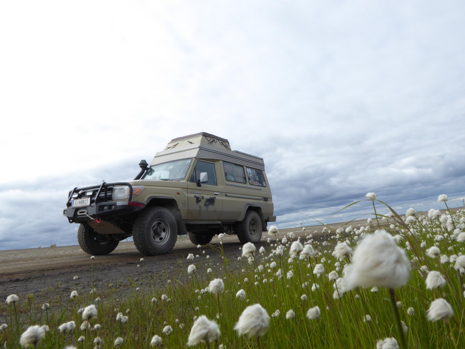
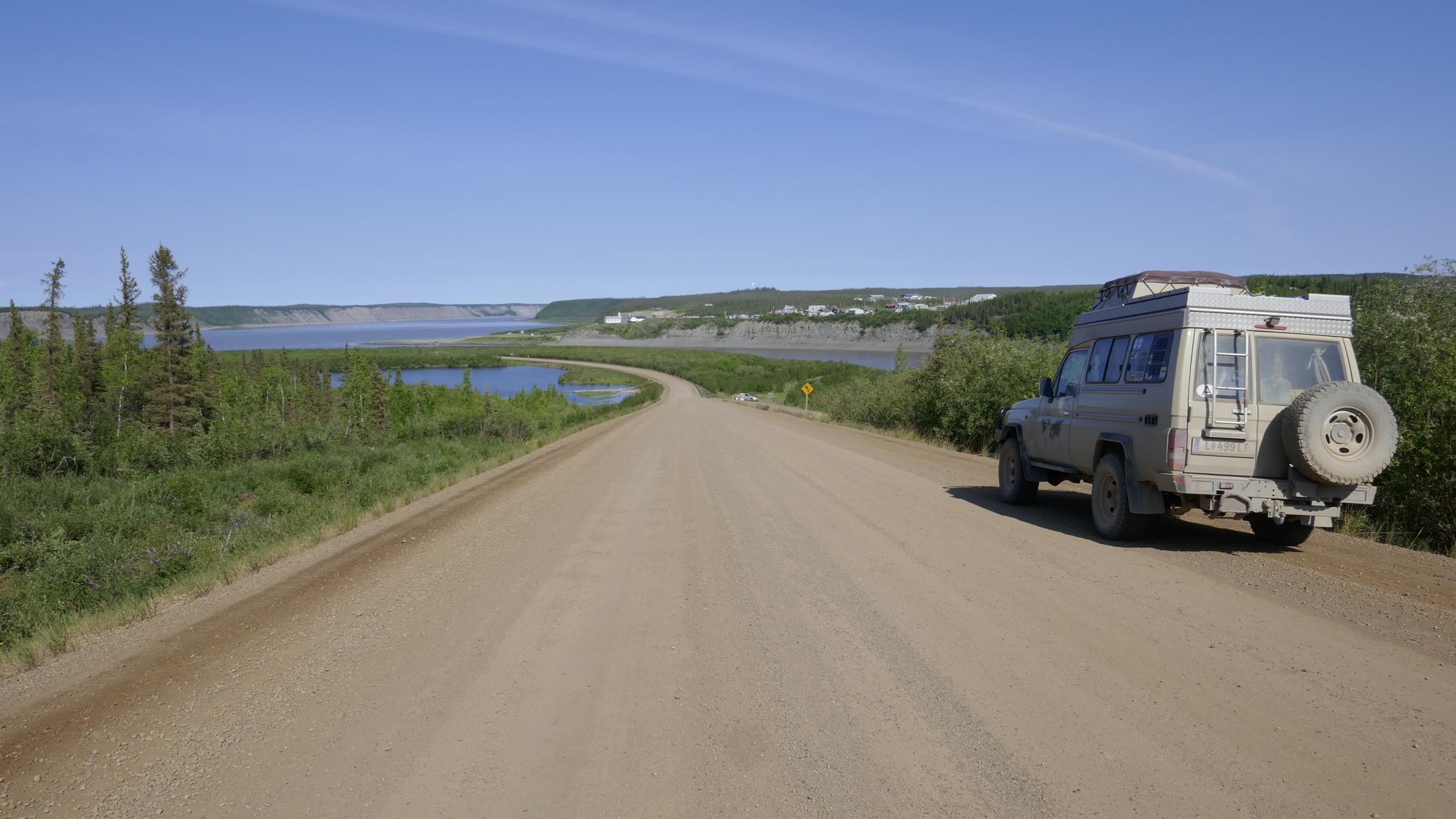
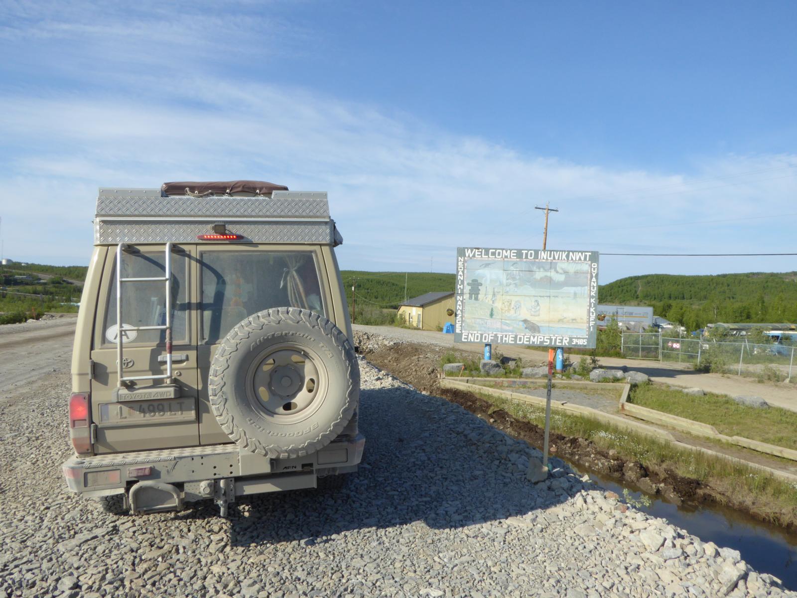
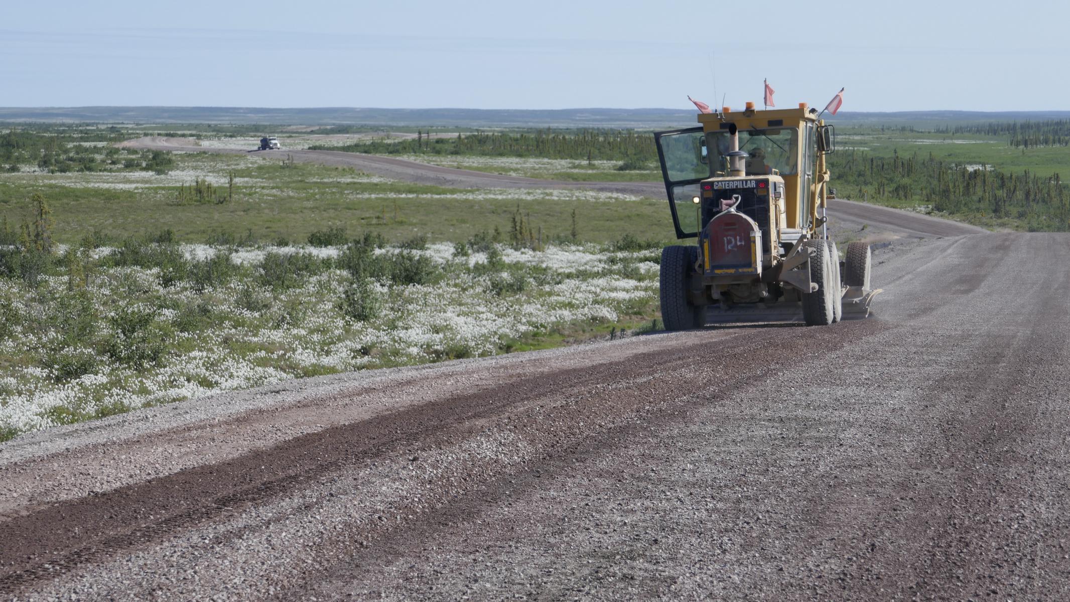
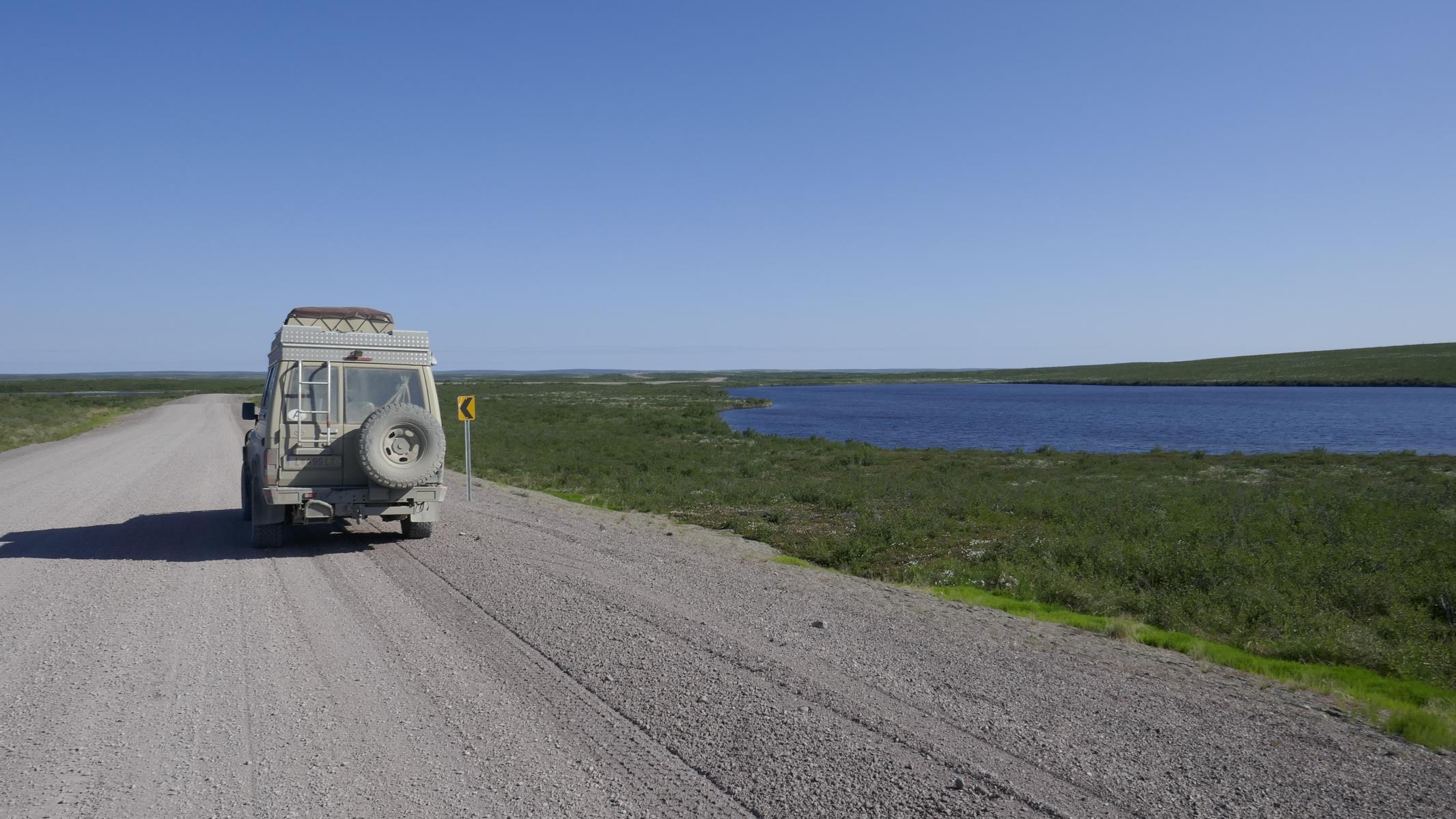
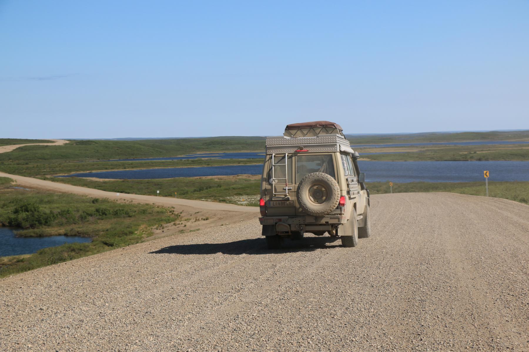
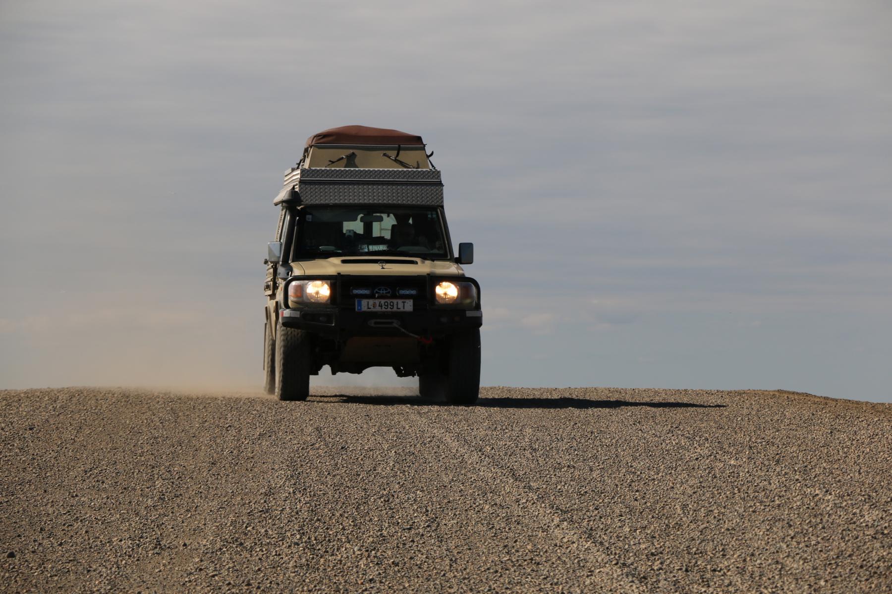
After Whitehorse we first drove 500 km on the Klondike Highway before we turned north to follow the Dempster Highway towards the Arctic Ocean. The Dempster HW (completed in 1978) is a 736 km (457 mi) long gravel road which connects the town Inuvik with the Klondike Highway. In 2017 another 140 km were completed extending the road until Tuktoyaktuk at the Arctic Ocean. A gravel insulation of up to 2.4 m was necessary to prevent that heat from the road might thaw the underlying permafrost. As gas stations are only every 350 km one should watch out to have a full tank when starting.
Nach Whitehorse fuhren wir zunächst 500 km auf dem Klondike Highway, um kurz vor Dawson City nach Norden in den Dempster Highway abzubiegen. Der Dempster HW (fertiggestellt 1978) ist eine 736 km lange Schotterstraße, die die kleine Stadt Invuik mit dem Klondike HW verbindet. Im Jahr 2017 wurden die Straße um 140 km bis nach Tuktoyaktuk am Arktischen Ozean verlängert. Eine bis zu 2,4 m hoch Schotter-Isolierschicht war notwendig um zu verhindern, dass Wärme der Straße den Permafrost auftaut. Da sich nur alle 350 km eine Tankstelle befindet sollte man immer volltanken.

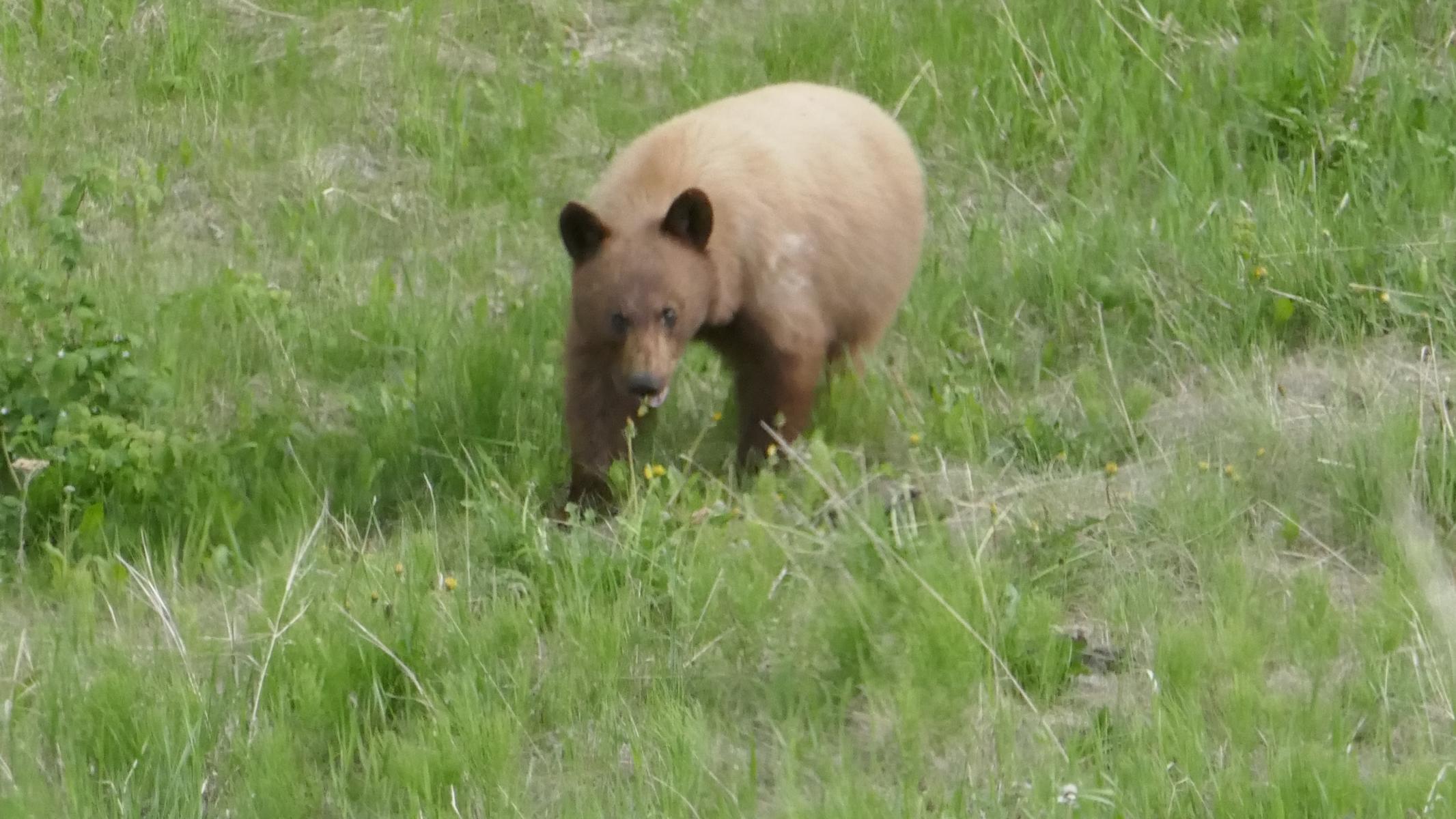
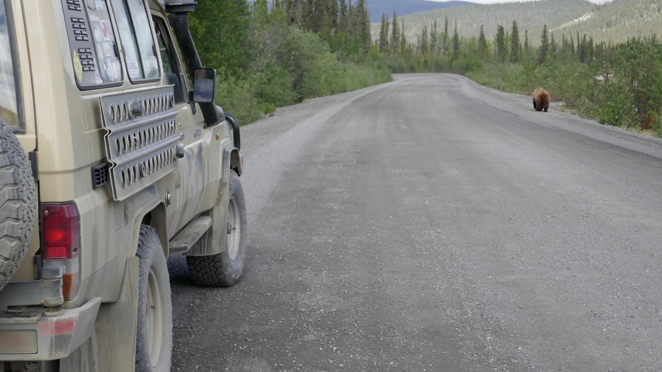
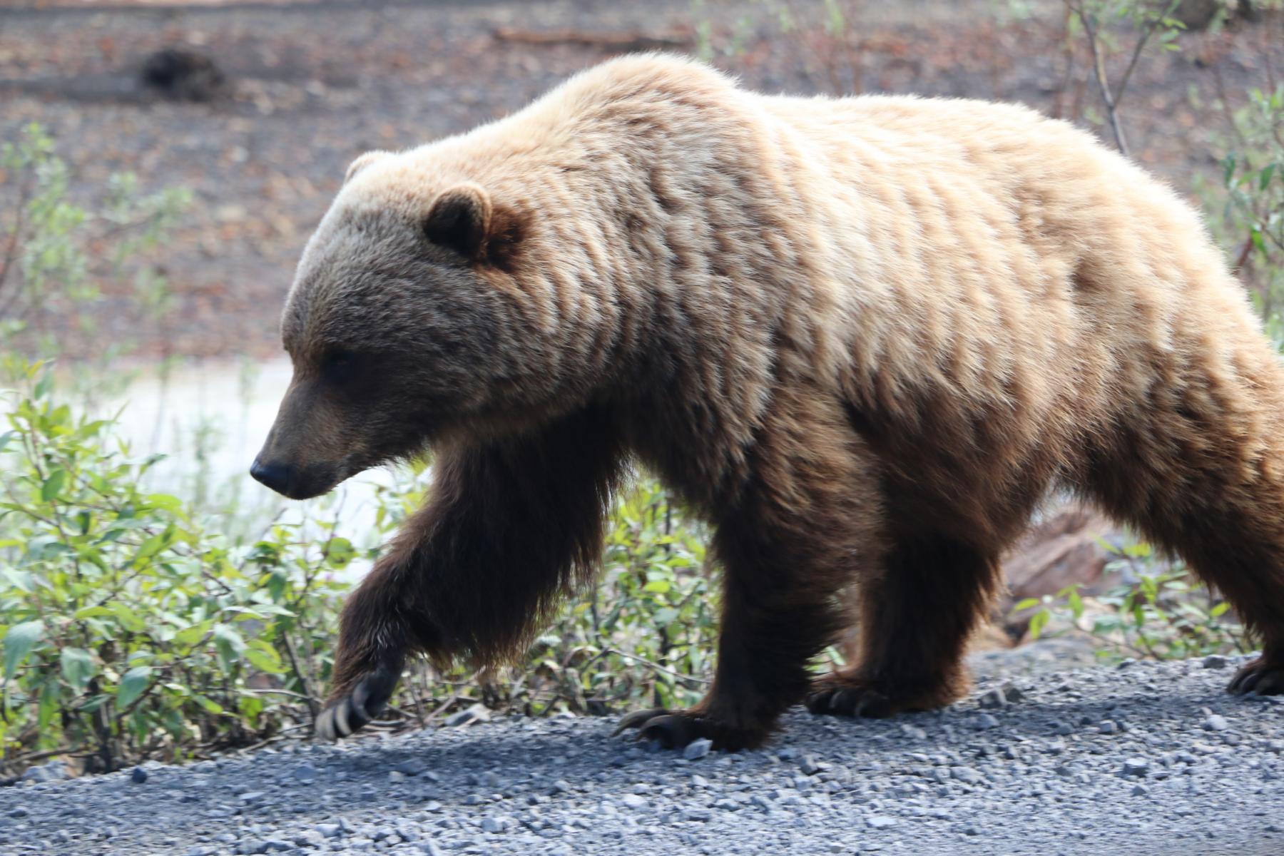
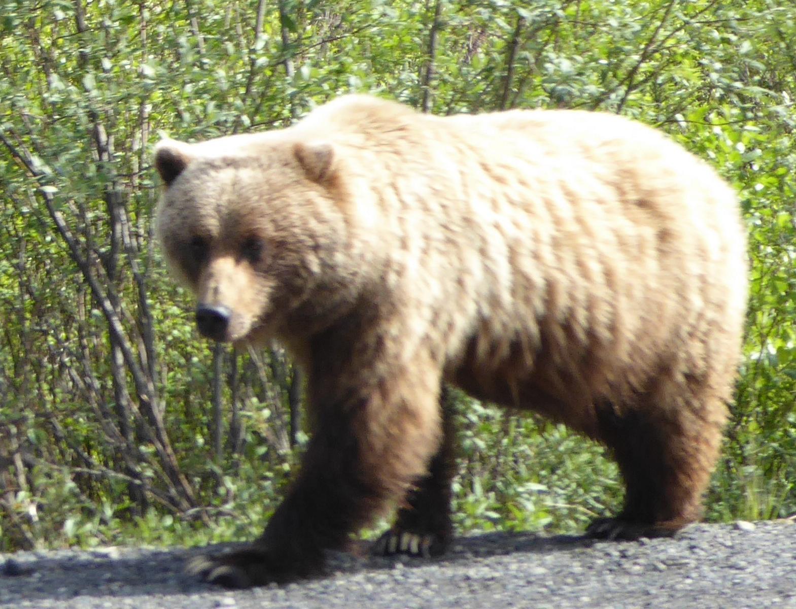
Bear encounter are frequent at the Dempster HW. To be true, the grizzly got a bit grumpy when we were driving by his/her side.
Bären sind am Dempster HW häufig anzutreffen. Um ehrlich zu sein: Der Grizzly ist etwas grantig geworden, als wir neben ihm fuhren.
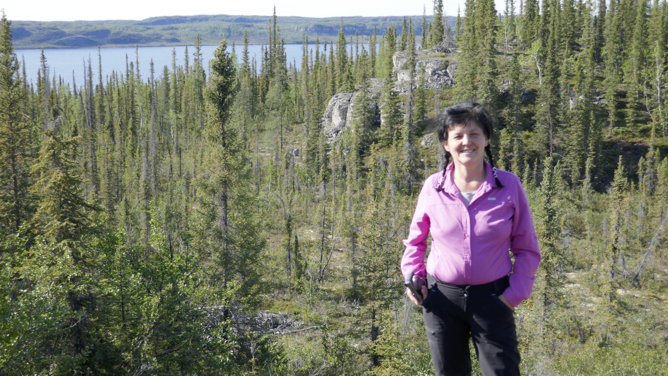
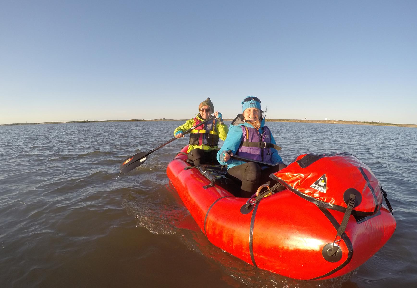
At Km 70 there is the excellent Tombstone National Park. We used its campground as a base for our paddle tours on the Blackstone and the Ogilvie River (for that blog see this link)
Bei Km 70 liegt der wunderbare Tombstone Nationalpark. Wir nutzten den Campingplatz als Ausgangs- bzw. Rückzugspunkt für unsere Befahrung des Blackstone und des Ogilvie Flusses (siehe dazu diesen Link).
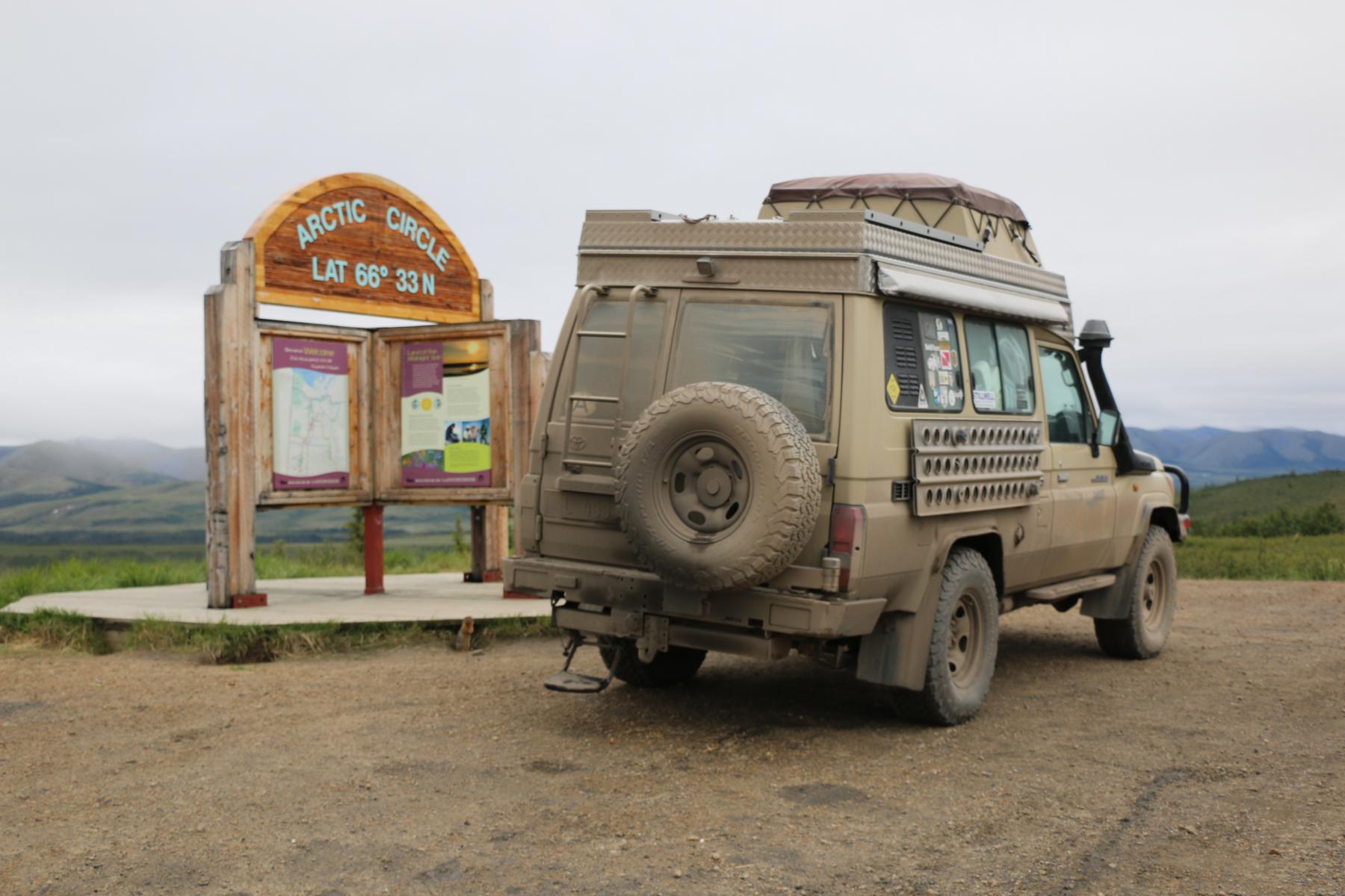
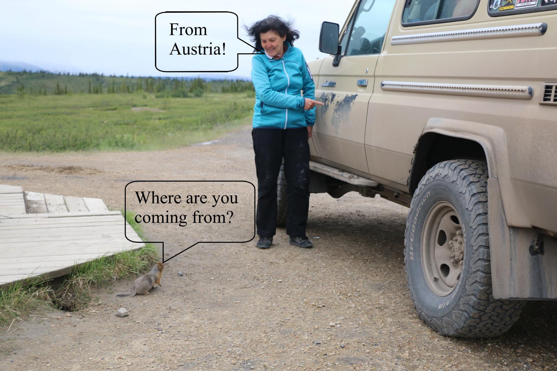
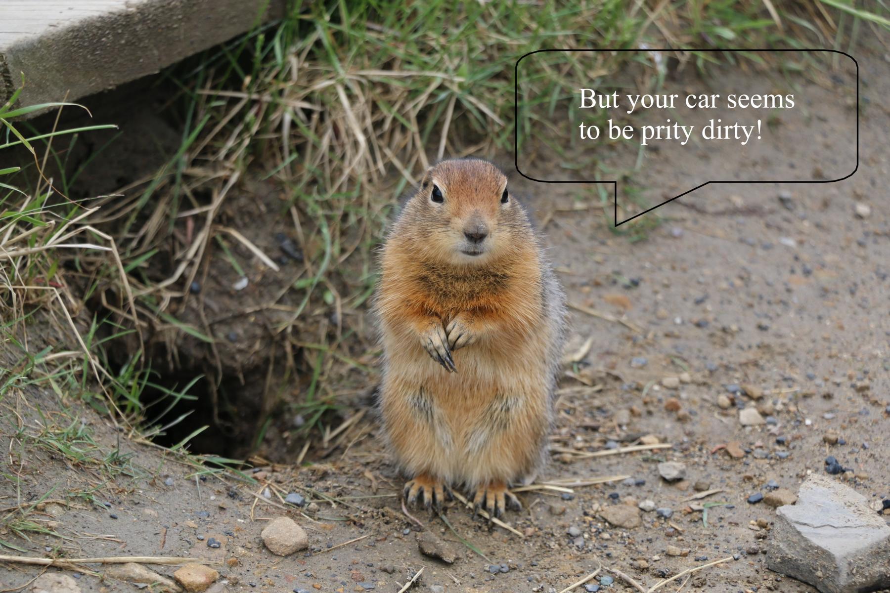
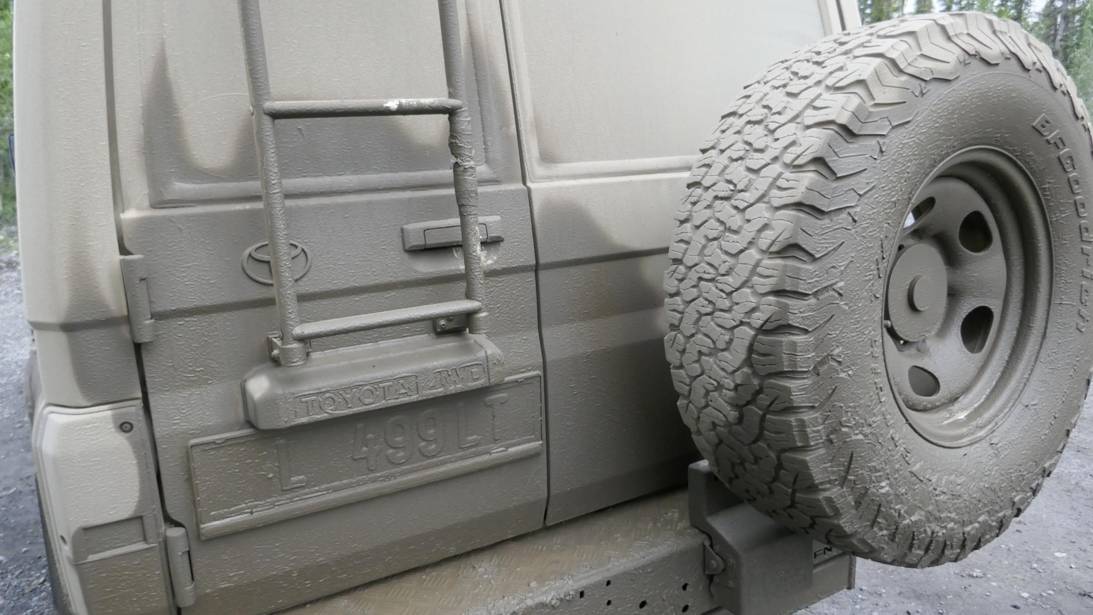
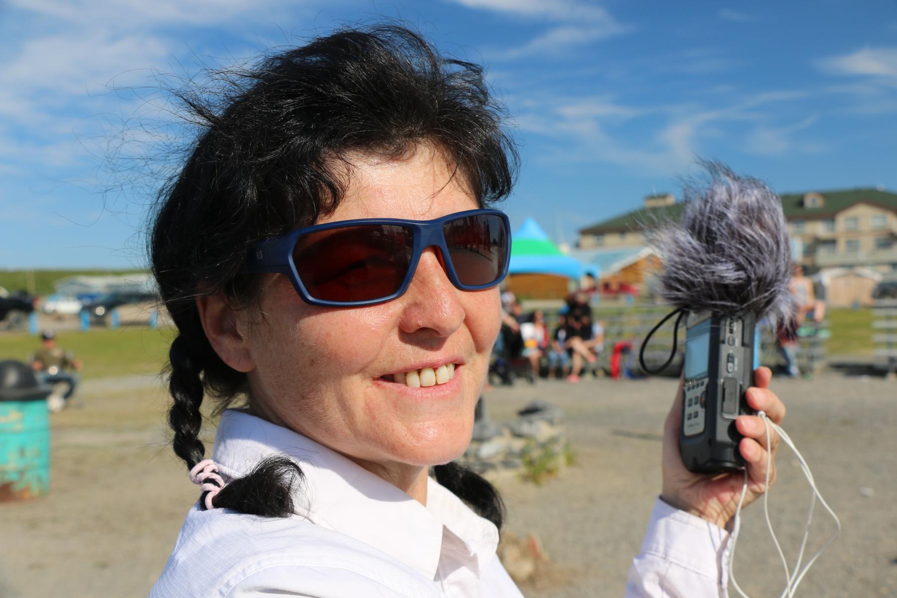
At km 403 we crossed the arctic circle, which is the southernmost point at which the center of the midnight sun is just visible on the June solstice. See the amazing dialogue between Ursula and a local resident.
Bei Km 403 überquerten wir den Polarkreis, also jenen südlichsten Breitegrad, an dem das Zentrum der Mitternachts-Sonne zur Sommer-Sonnenwende noch sichtbar ist. Siehe auch den überraschenden Dialog zwischen Ursula und einem dort Ansässigen.
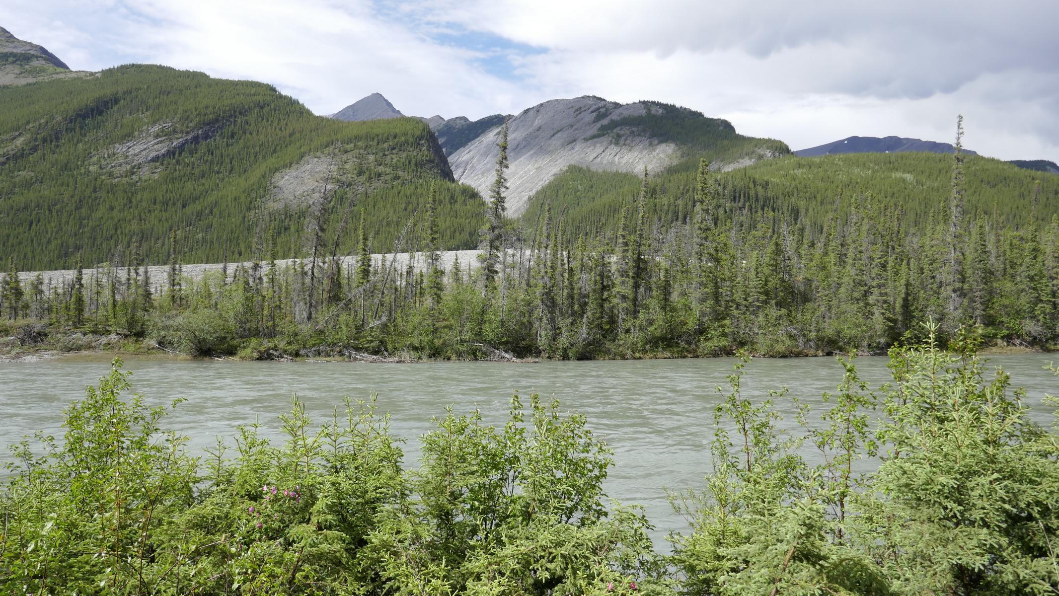
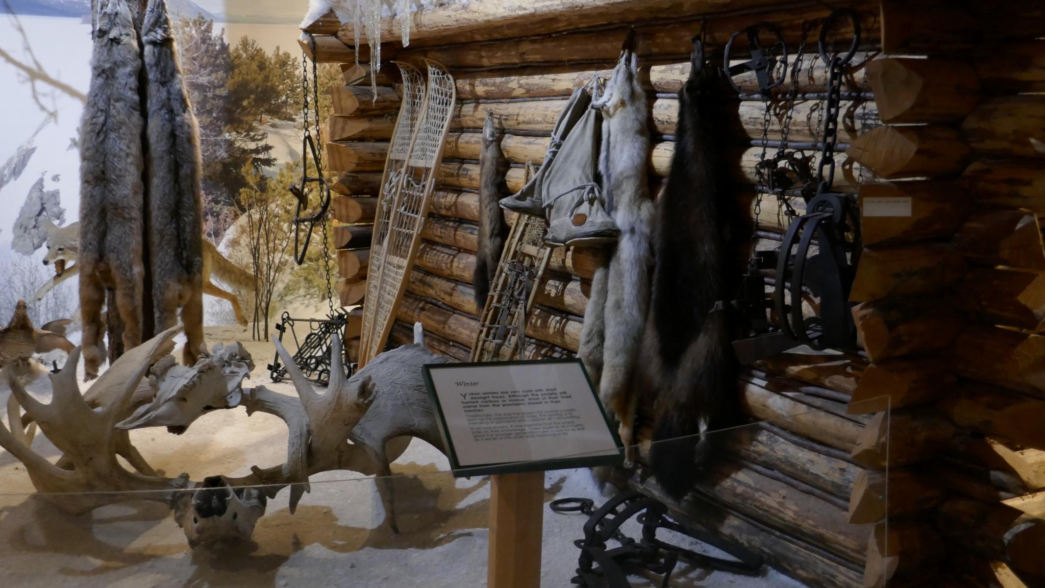
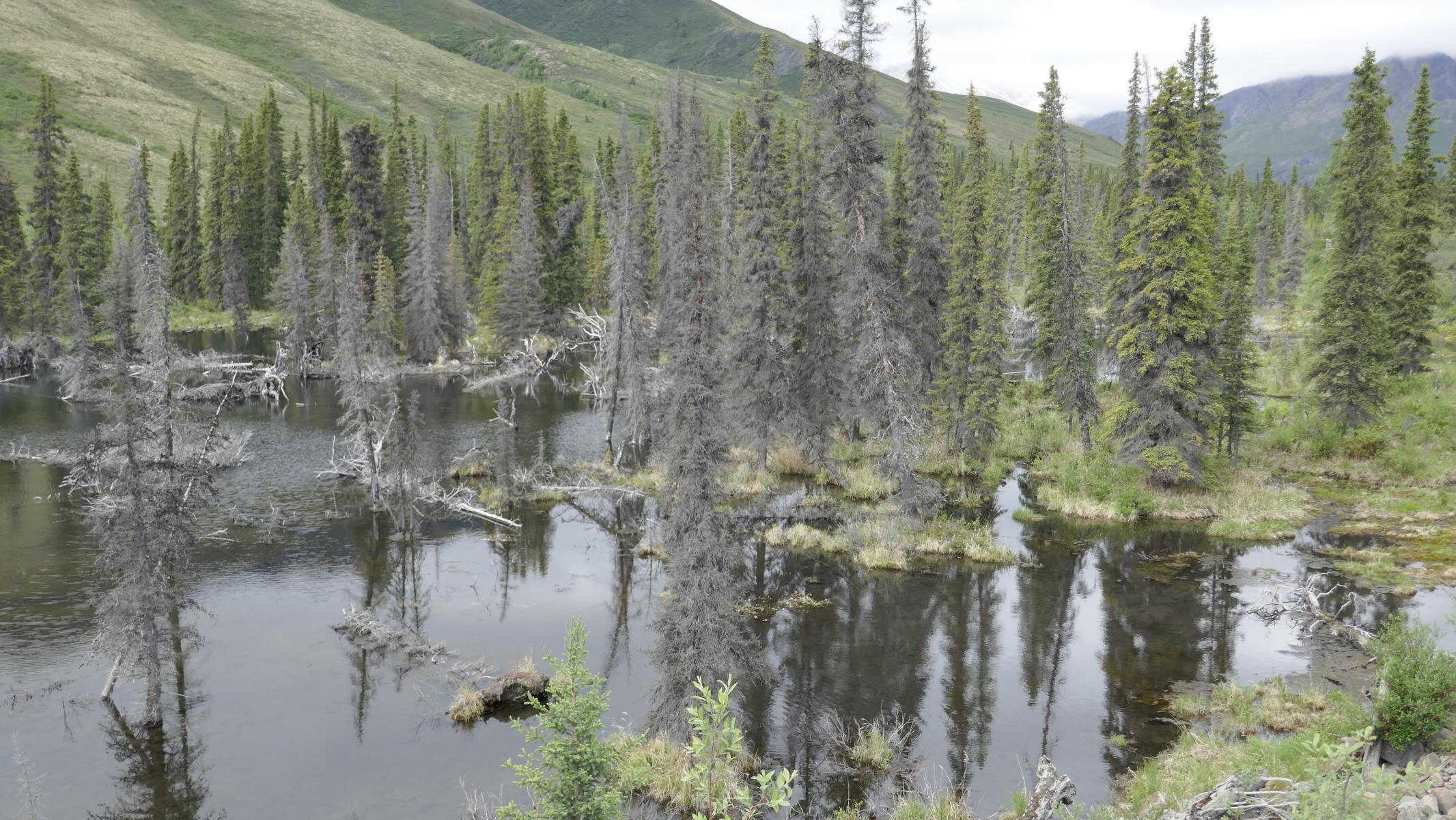
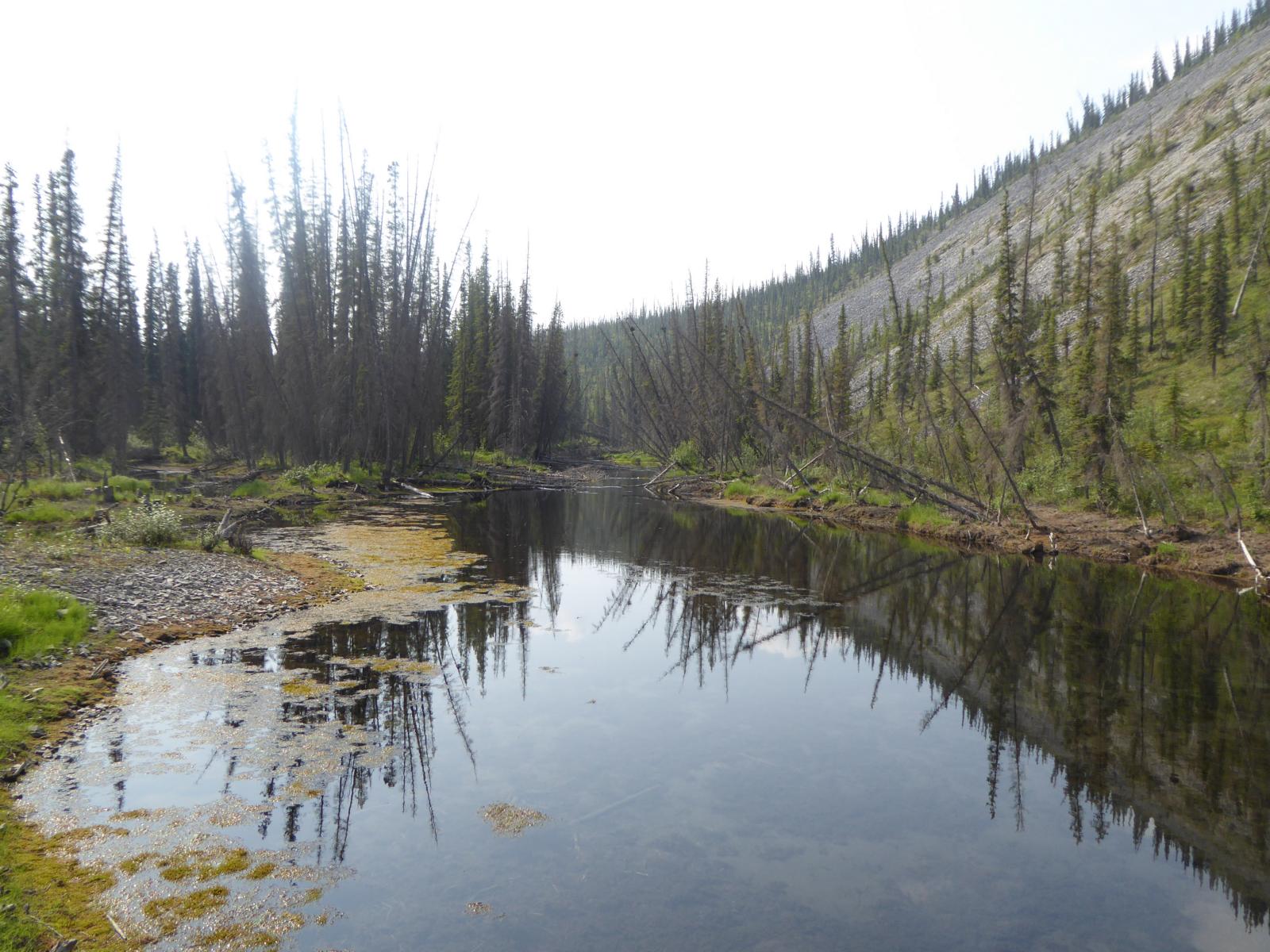
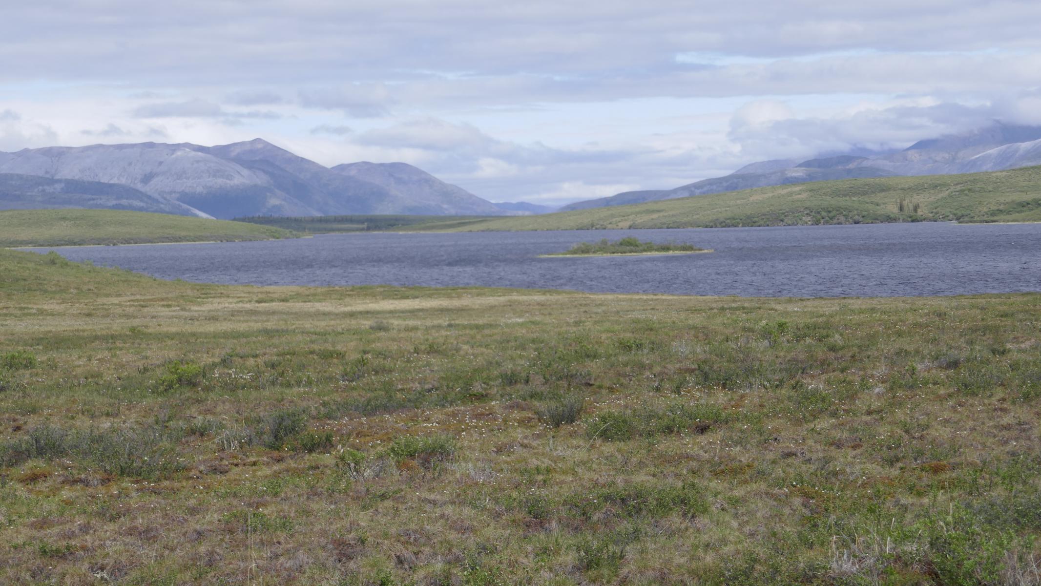
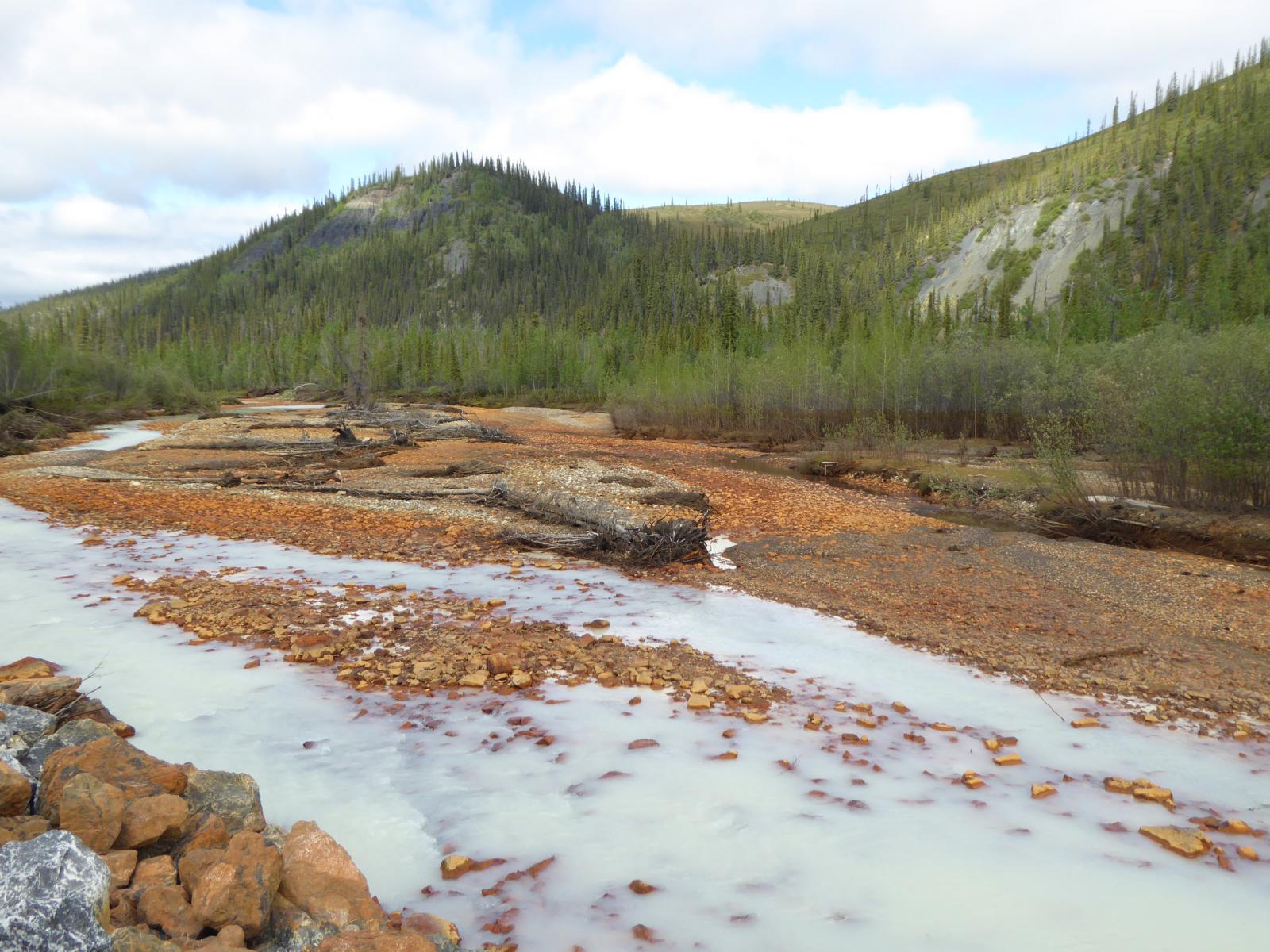
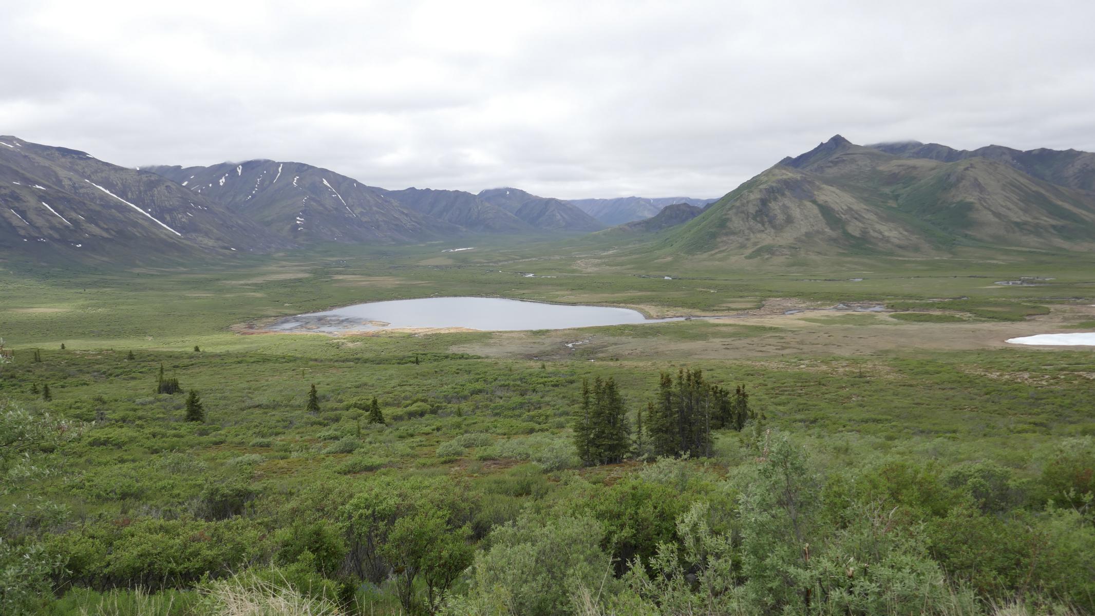
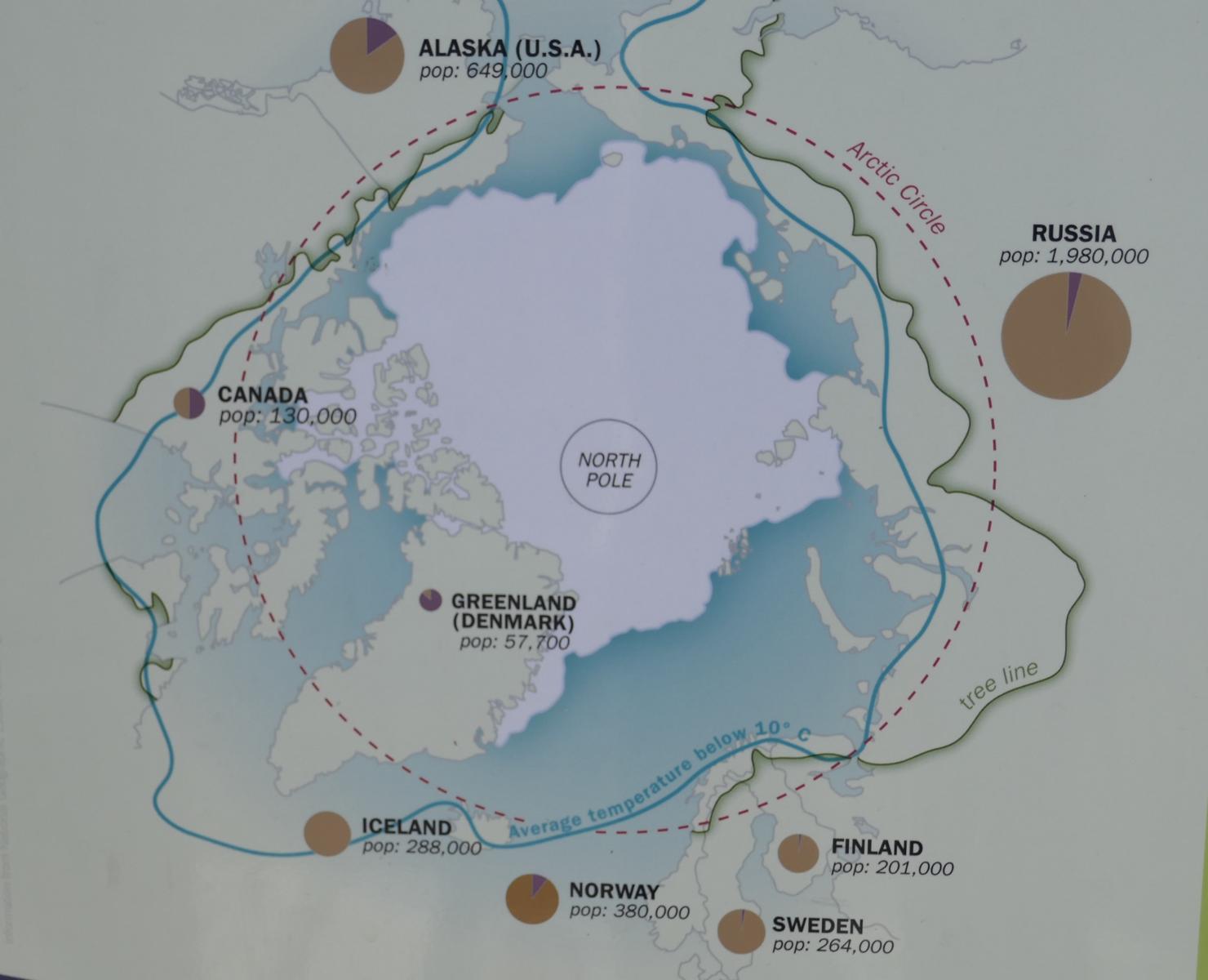
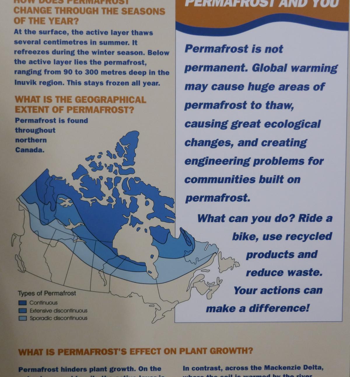
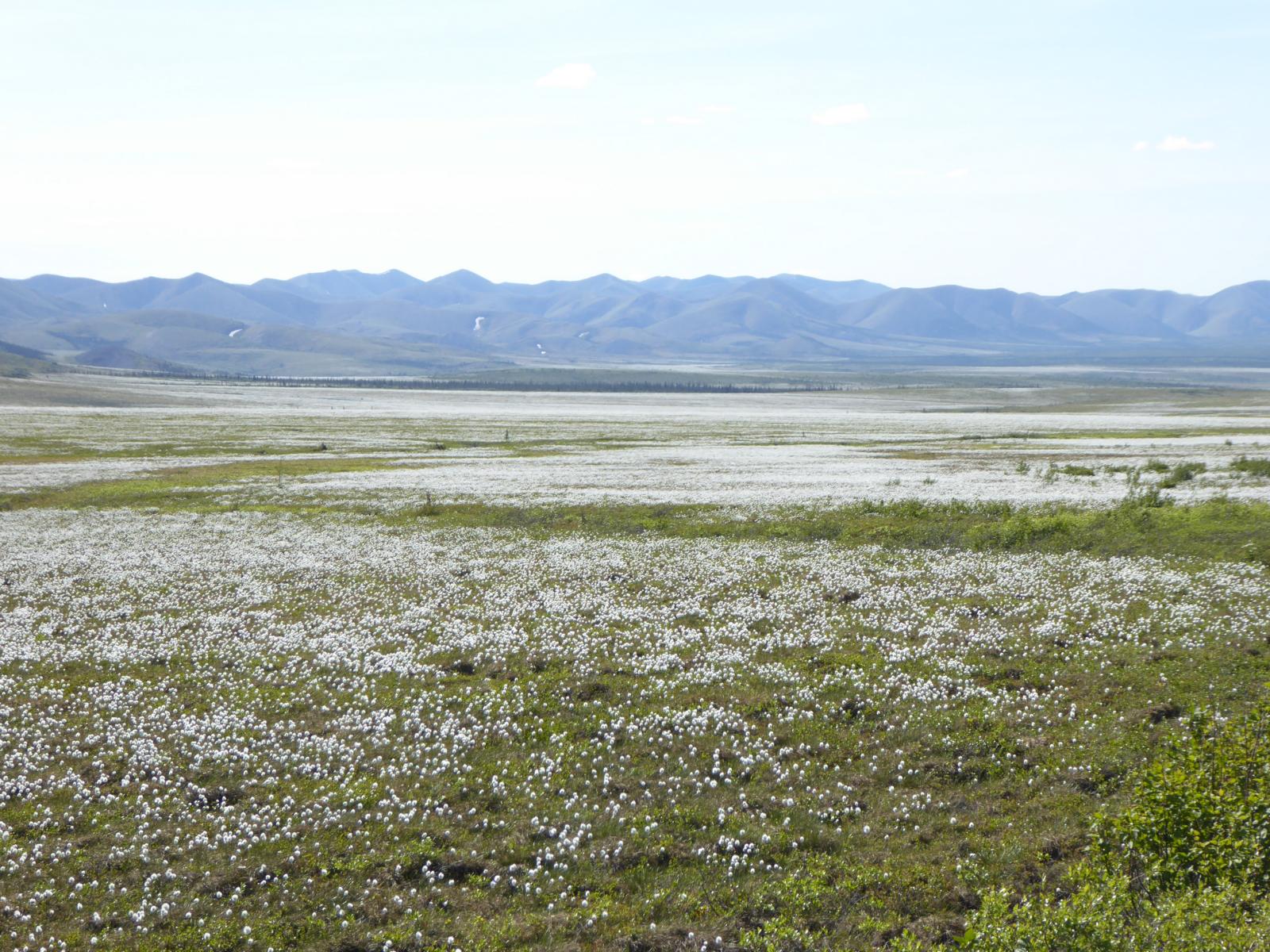
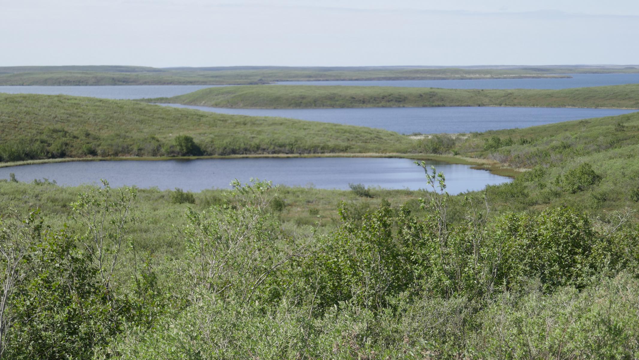
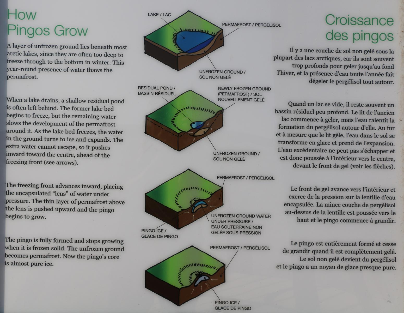
Permafrost is an area, where the soil (apart from a thin layer of 20 cm to 2 m) will remain frozen throughout the whole year. The permafrost - a product of past ice-ages – can reach between 20 to several hundreds of meters deep. It is expected that the thawing of the permafrost and the resulting release of CO2 will further accelerate global warming. The whole area where we were travelling on this trip was permafrost.
Unter Permafrost versteht man ein Gebiet, wo der Boden (abgesehen von einer dünnen Oberflächen-Schicht – 20 cm bis 2 m) das gesamte Jahr nicht auftaut. Der Permafrost, ein Produkt der vergangenen Eiszeiten, kann zwischen 20 m und mehreren hundert Metern in die Tiefe reichen. Es wird befürchtet, dass das Auftauen des Permafrostes und die damit verbundene CO2 Freigabe die globale Erderwärmung weiter beschleunigen wird. Die gesamte Gegend, durch die wir bei diesem Abschnitt unserer Reise fuhren, war Permafrost-Gebiet.
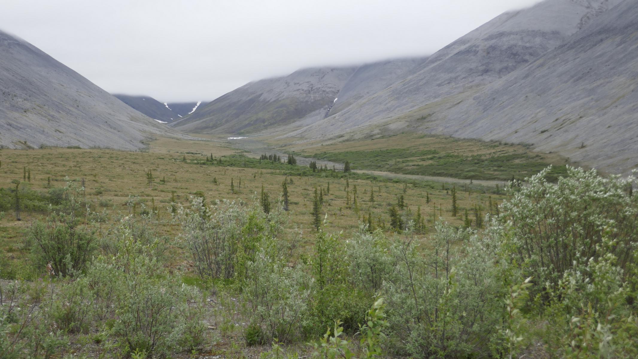
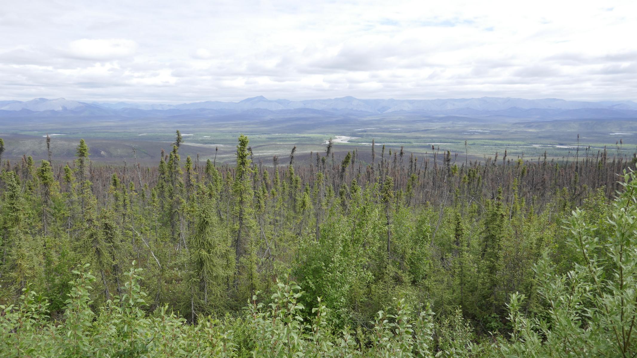
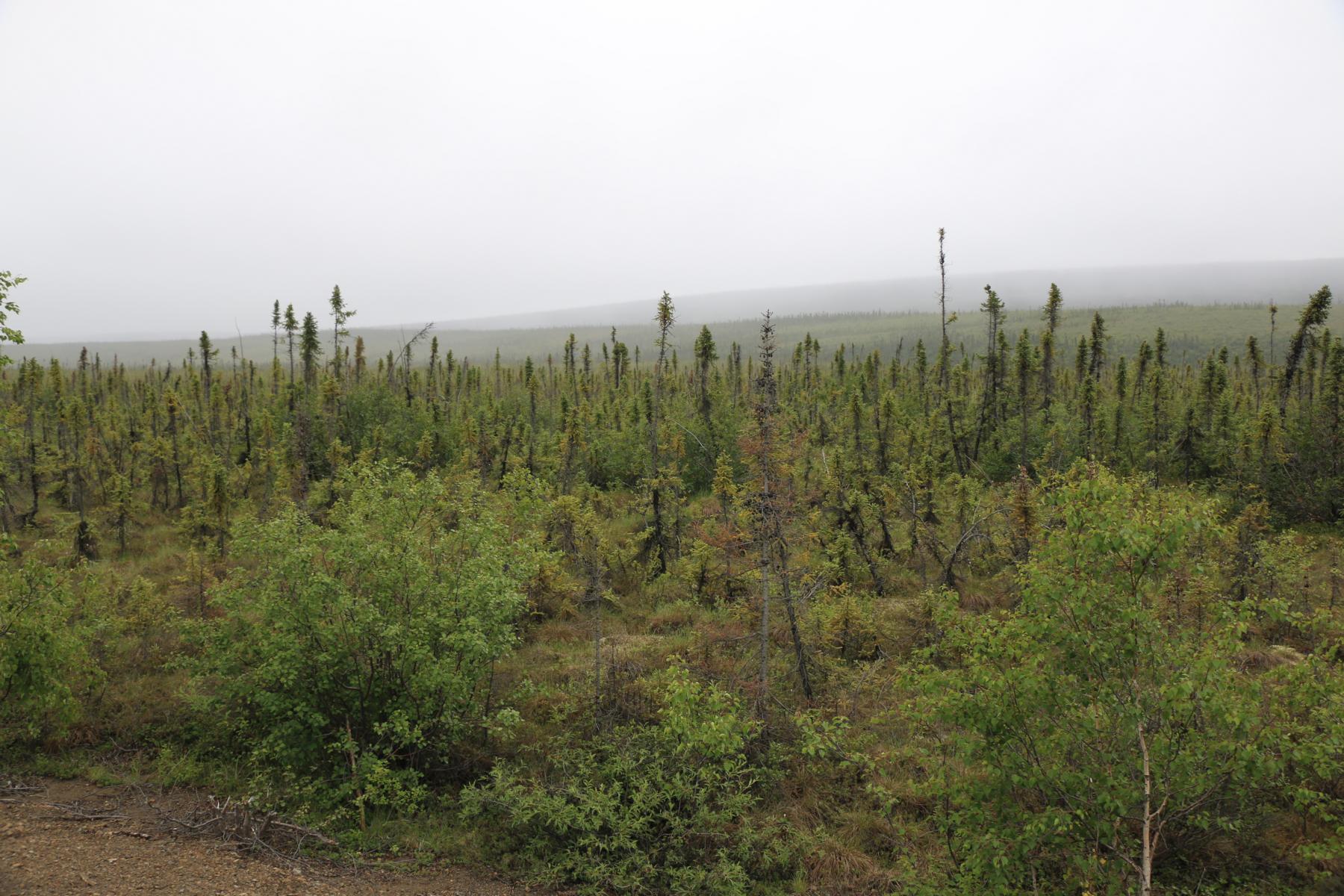
Driving further north the spruce trees become smaller and smaller.
Als wir weiter nach Norden fahren werden die Nadelbäume (Spruce Trees) immer kleiner.


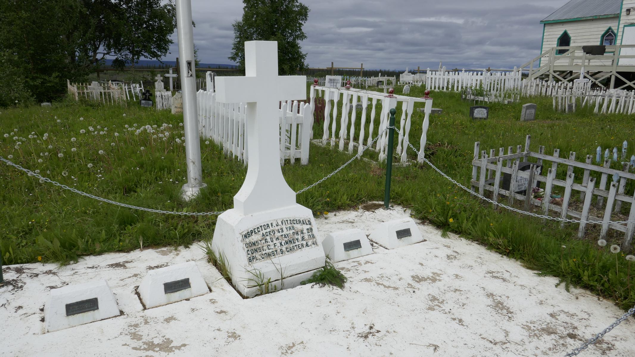
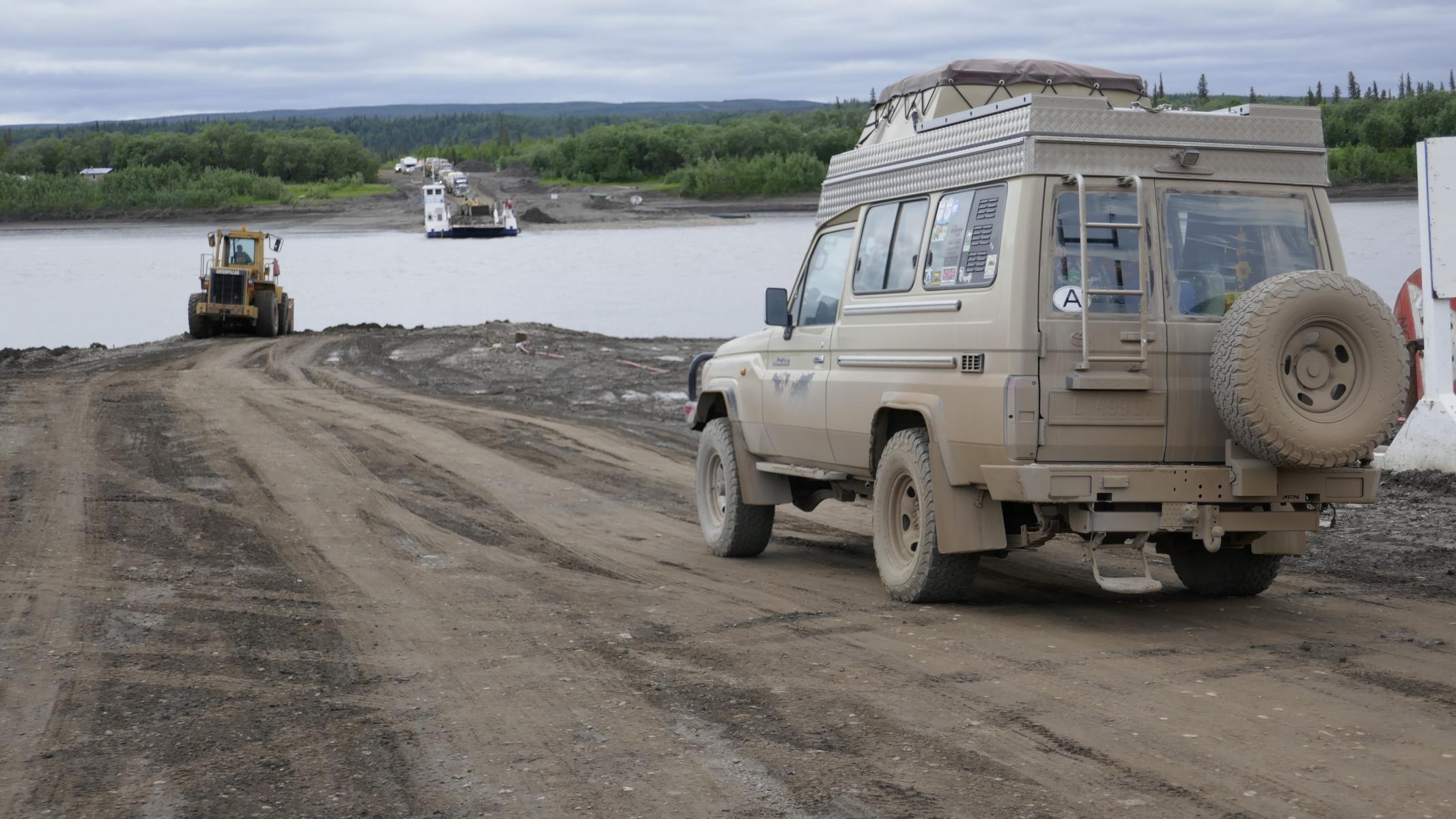
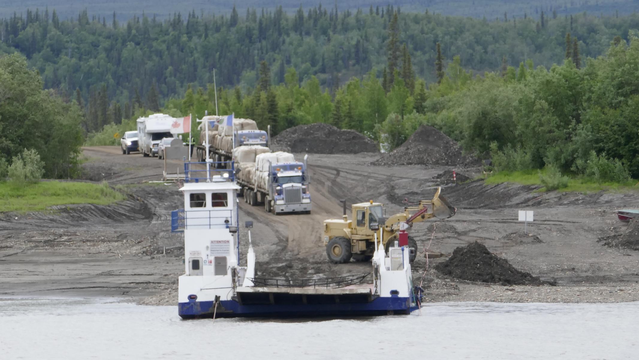
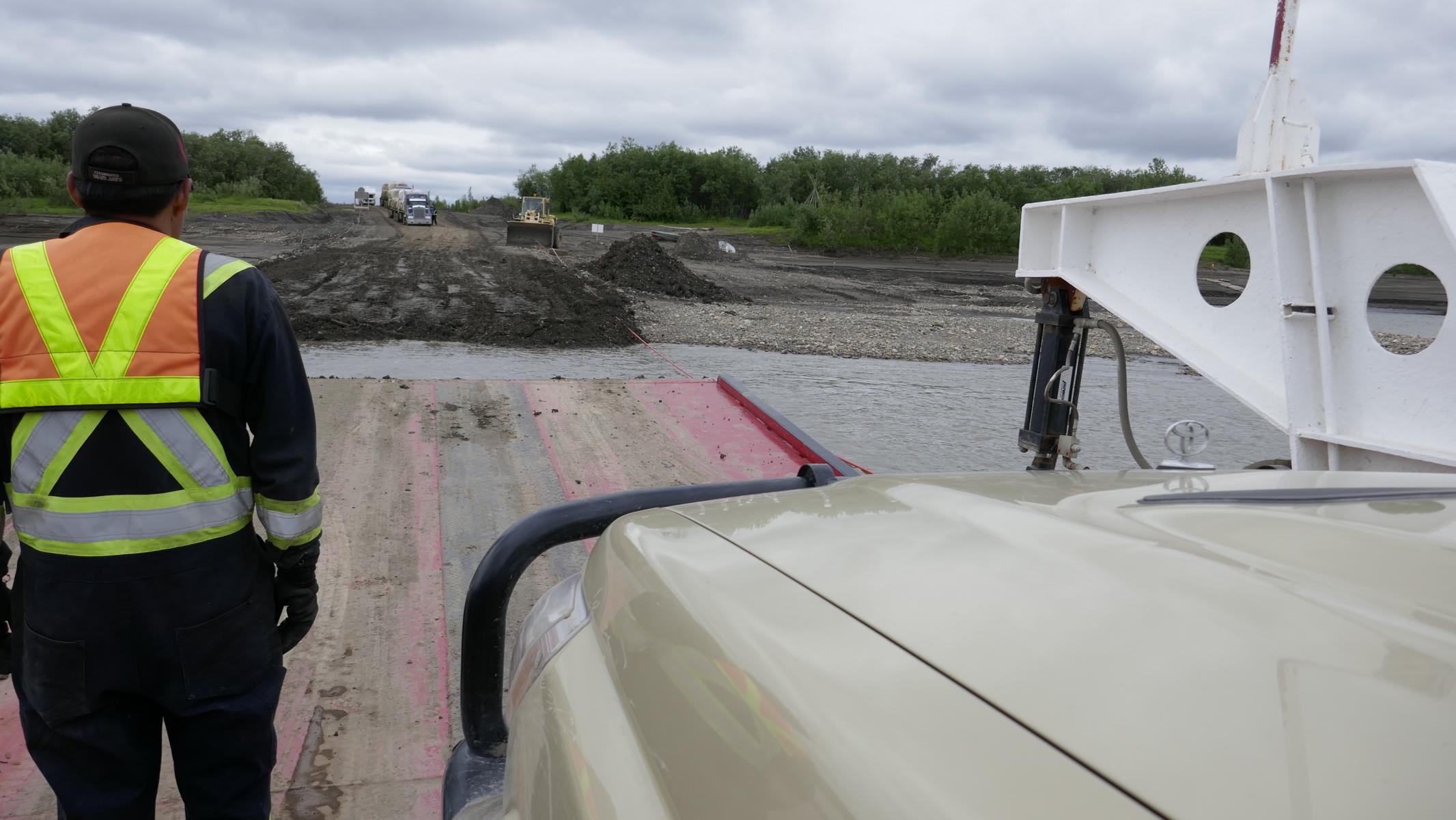
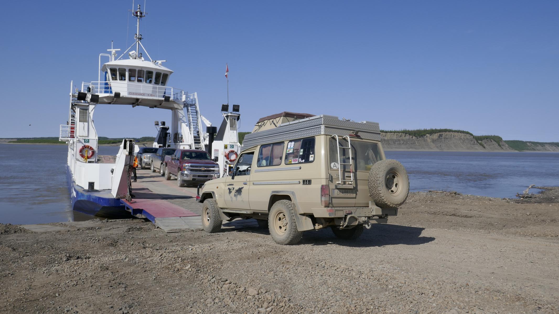
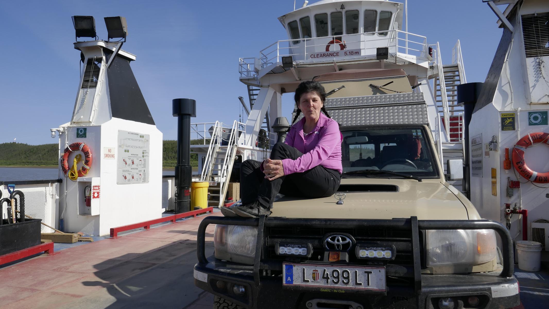
Near Fort McPherson the Peel River and the Mackenzie River need to be crossed by ferry. When the rivers are frozen in winter cars simply drive over the ice. A memorial reminds of a North West Mounted Police patrol which perished in winter 1910 when travelling from Fort McPherson to Dawson City.
Nahe Fort McPherson muss man den Peel River und den Mackenzie River mittels Fähre überqueren. Im Winter, wenn die Flüsse zugefroren sind, fahren die Autos einfach über das Eis. Ein Denkmal erinnert an eine North West Mounted Police Patrouille, die im Winter 1910 umkam, als sie von Fort McPherson nach Dawson City unterwegs war.

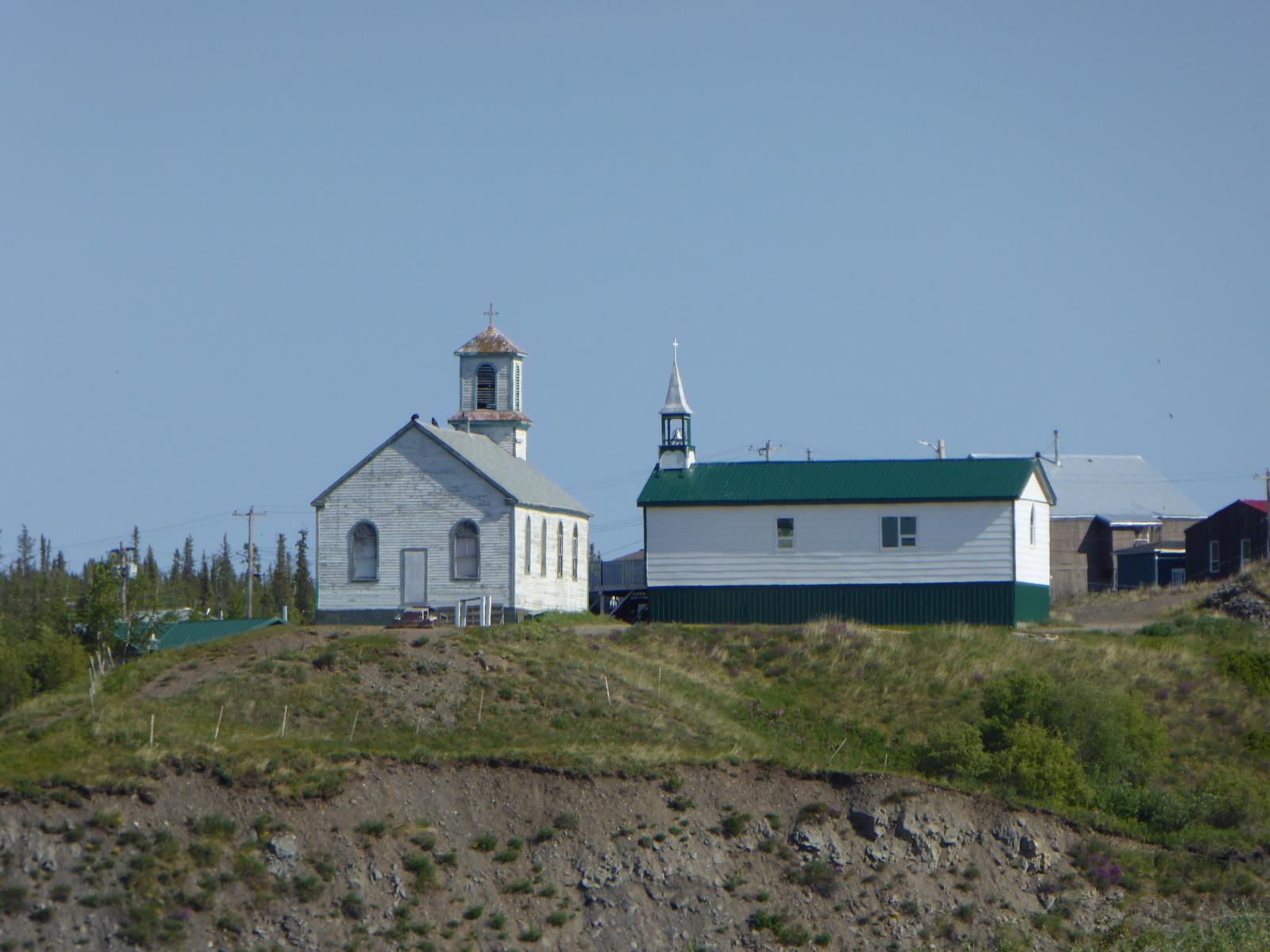
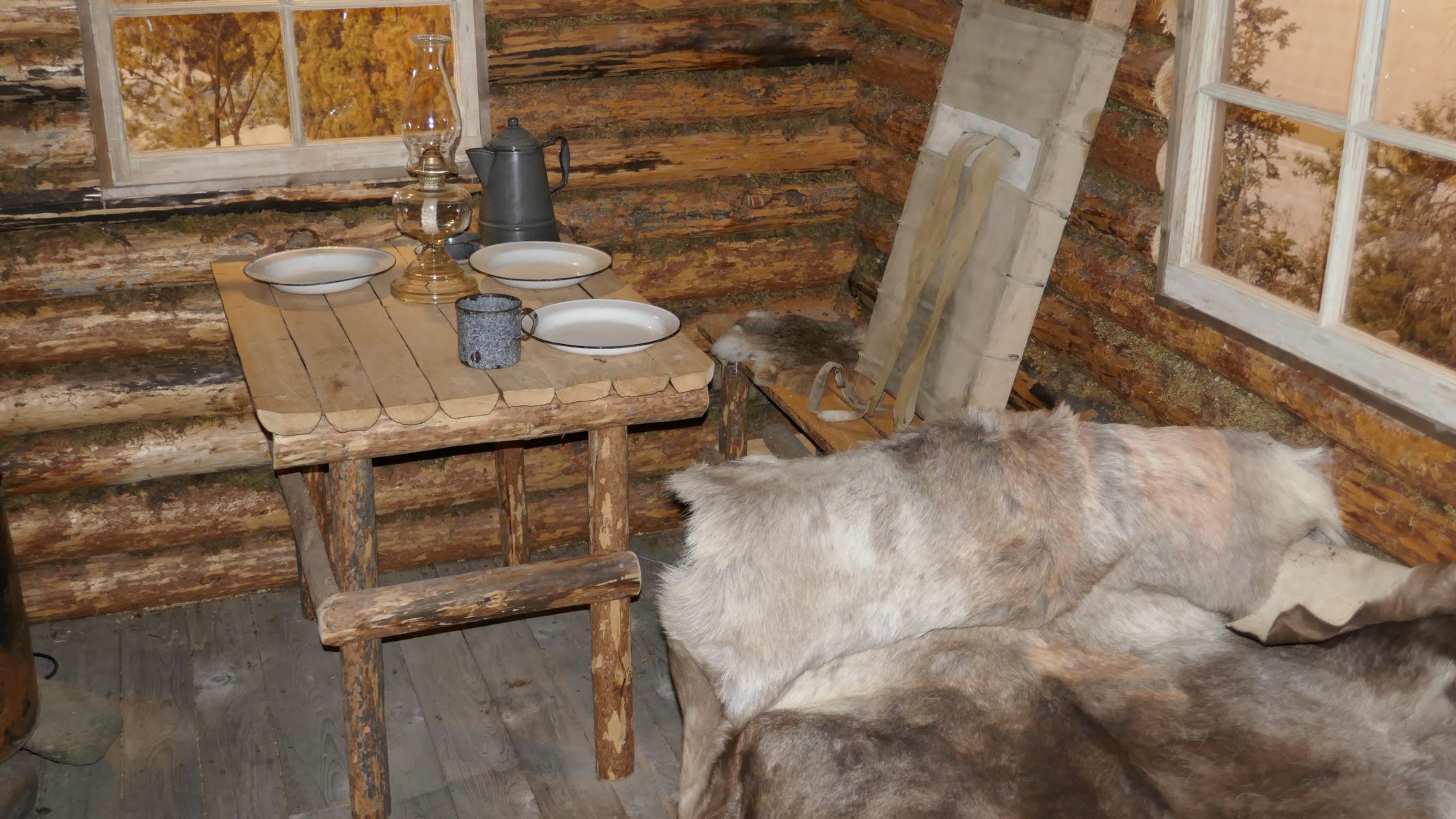
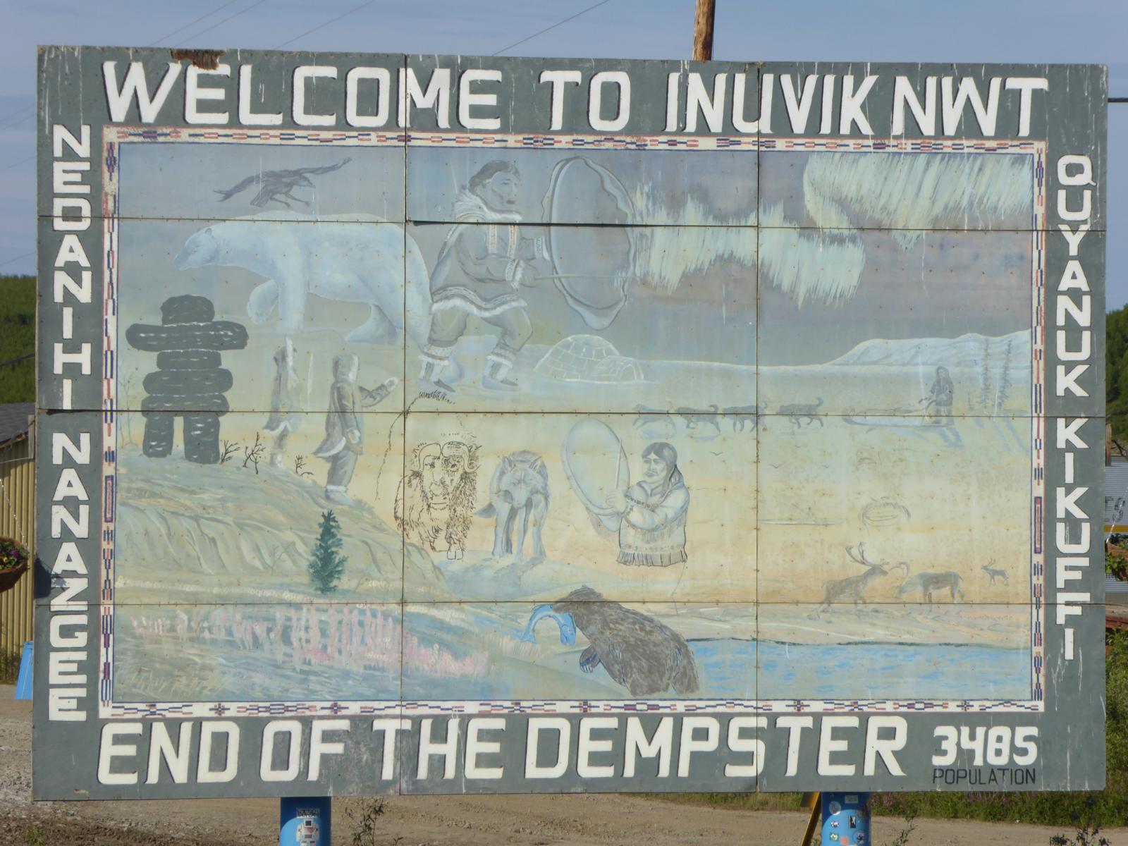
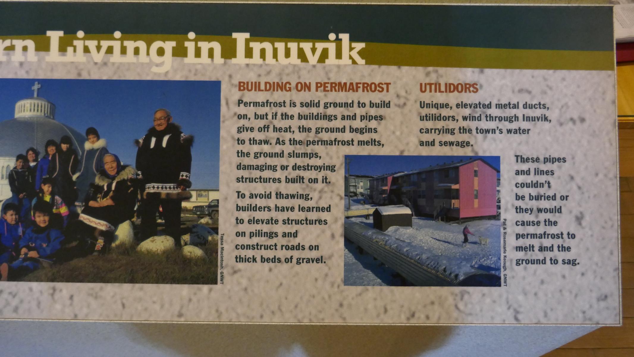
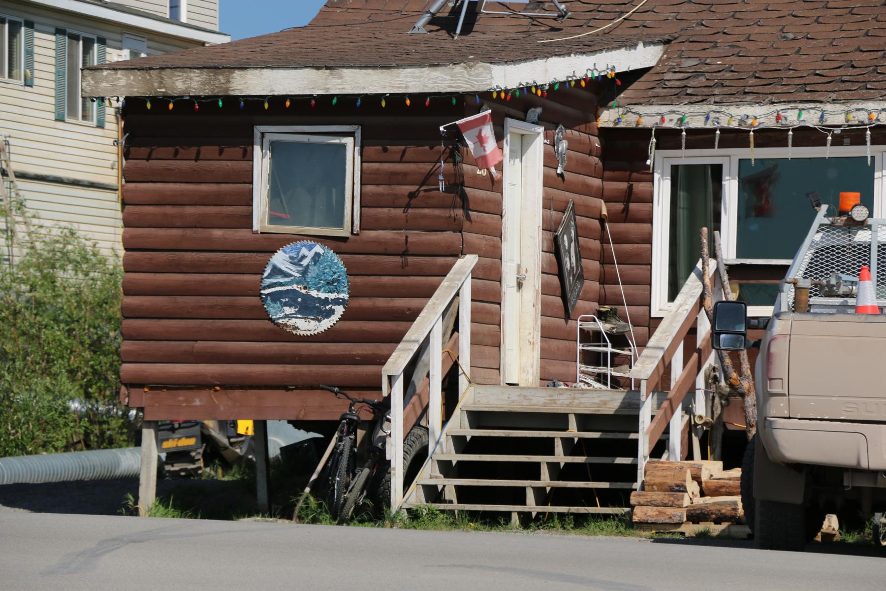
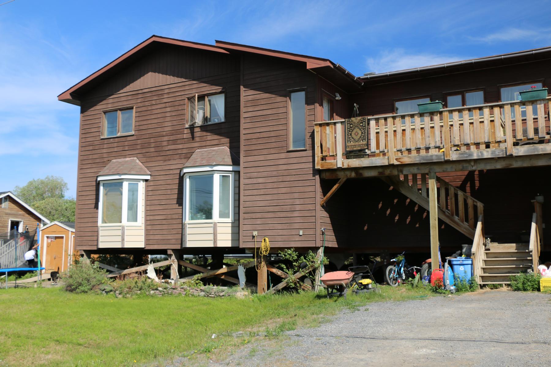
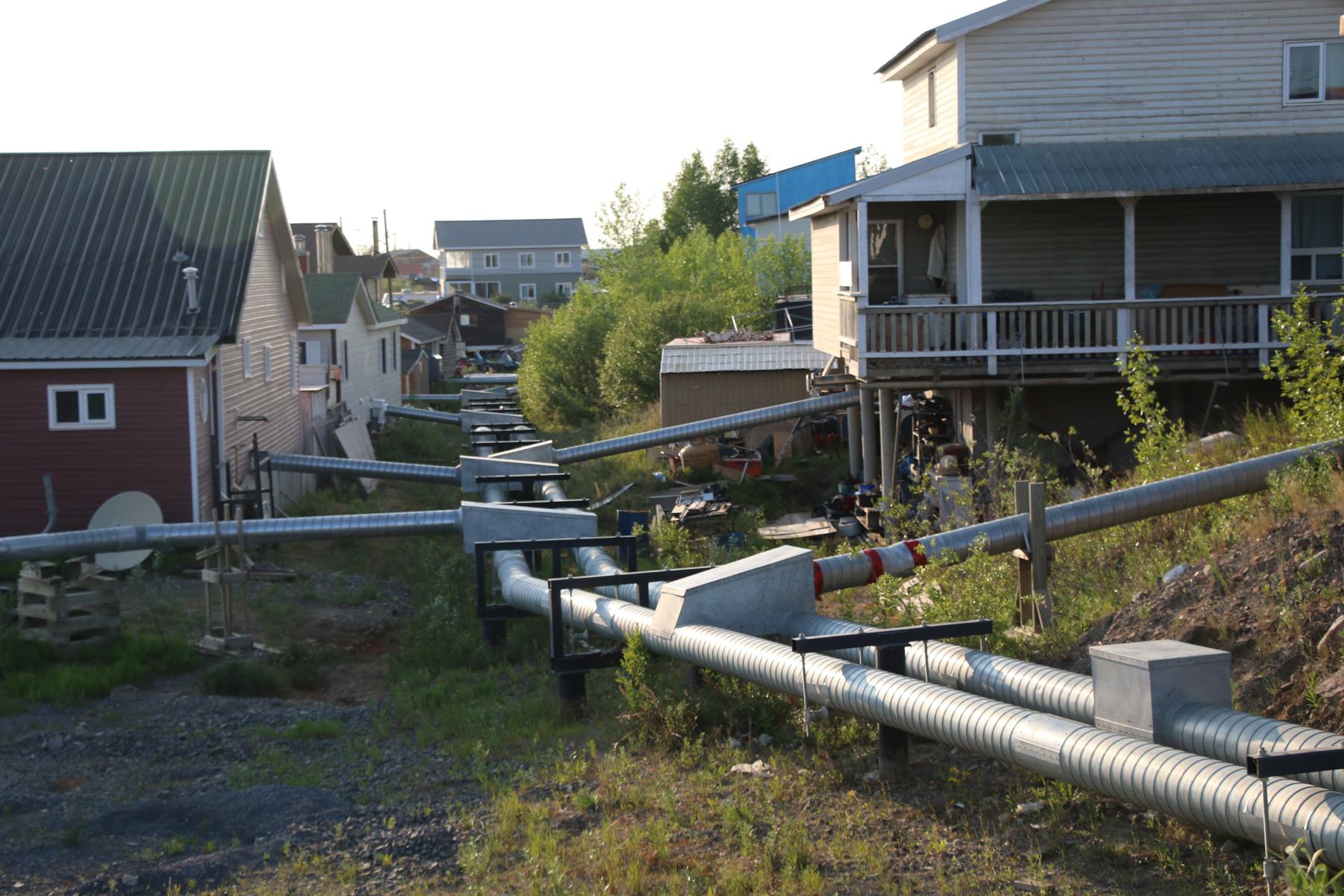
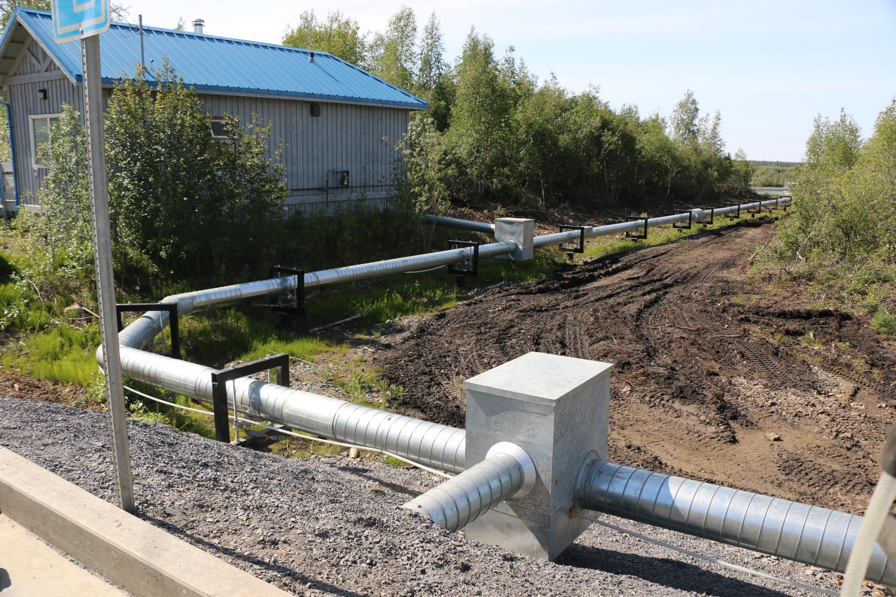
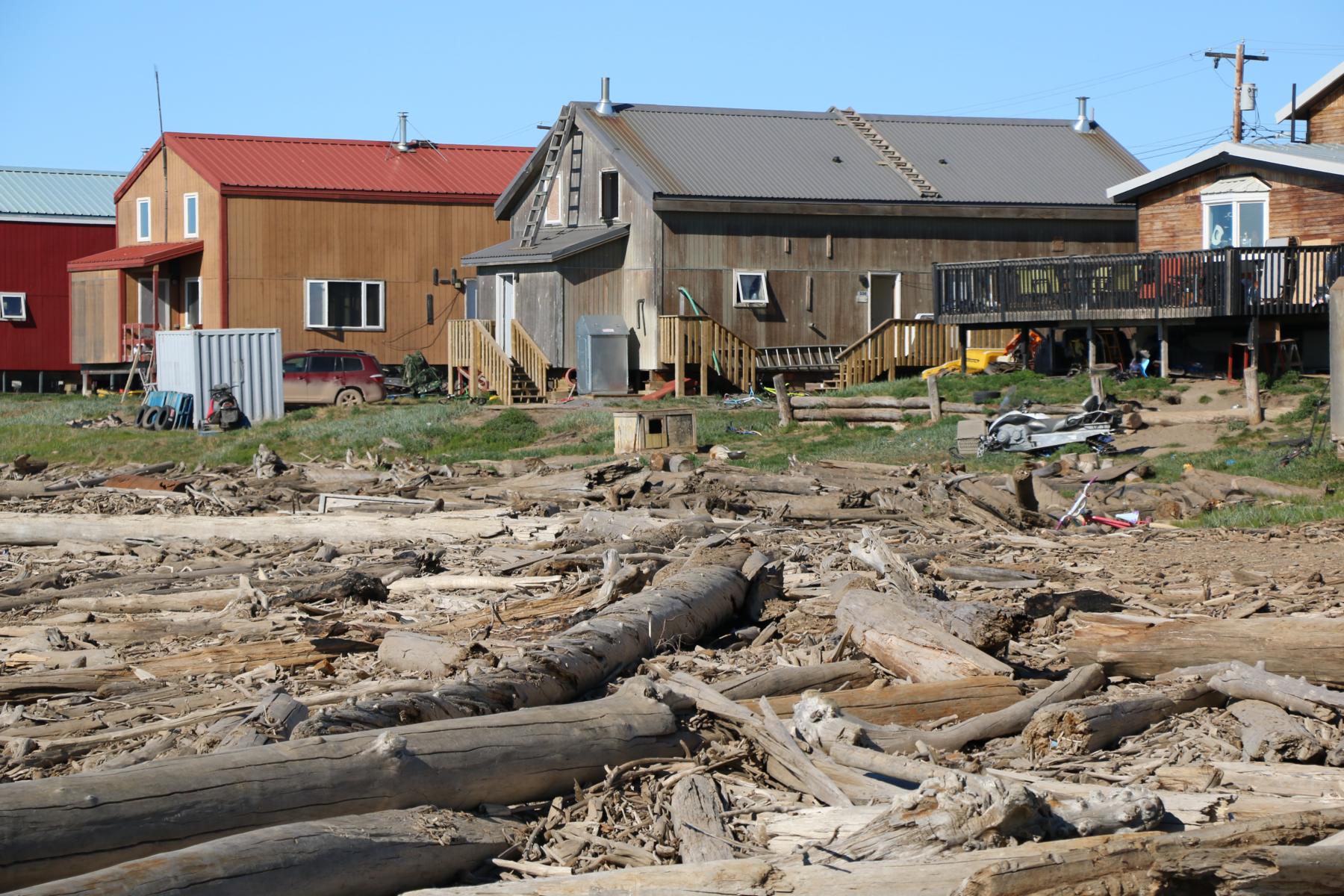
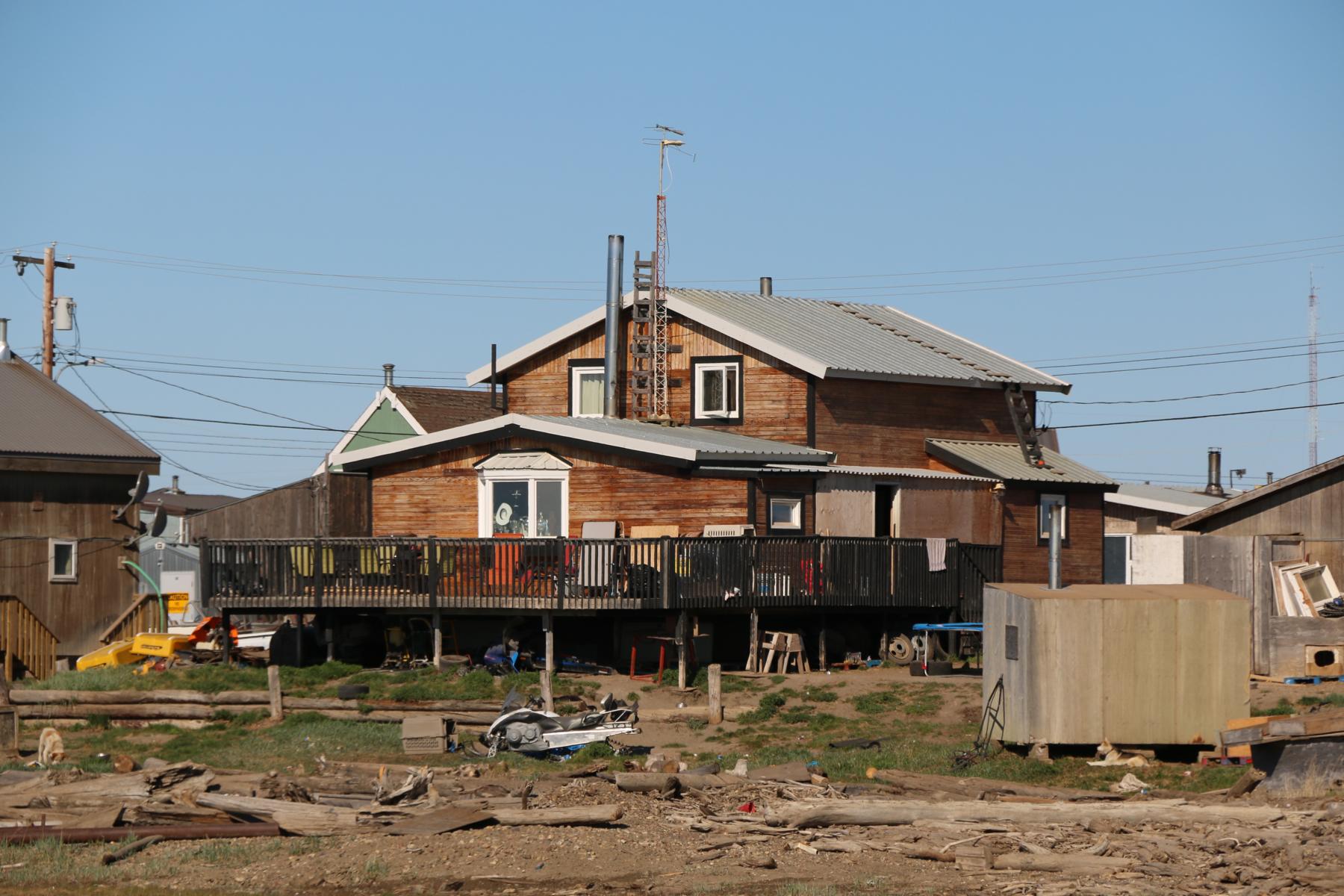
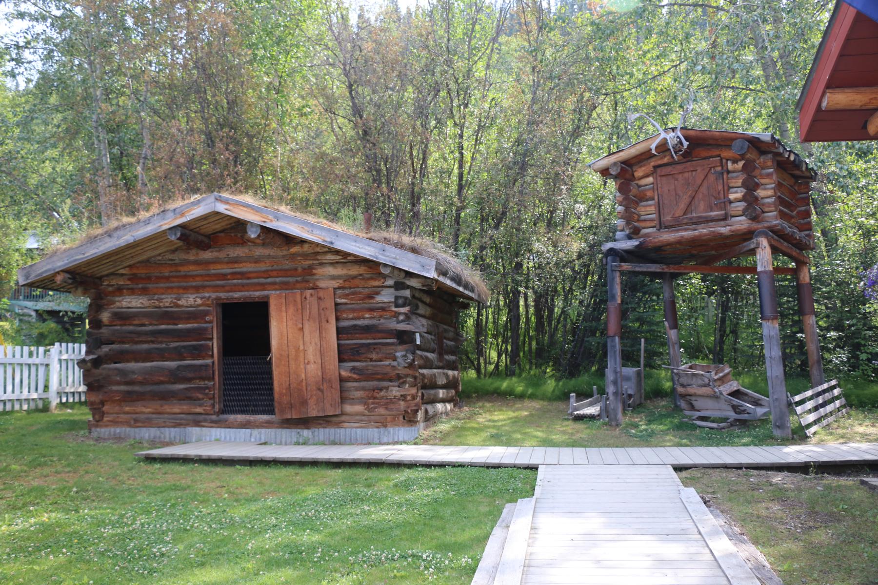
After two days on the Dempster HW we finally reached the town Inuvik. The architecture of the houses is laid out to protect the permafrost below. Houses are built on pedestals and all utility pipes are above the surface (otherwise houses would slowly sink in the ground).
Nach zwei Tagen Fahrt am Dempster Highway erreichten wir schließlich die Stadt Inuvik. Die Architektur der Häuser ist darauf ausgerichtet, den Permafrost unversehrt zu lassen. Die Häuser sind auf Sockeln gebaut und alle Versorgungsleitungen oberirdisch verlegt (ansonsten würden die Häuser langsam im Boden einsinken).
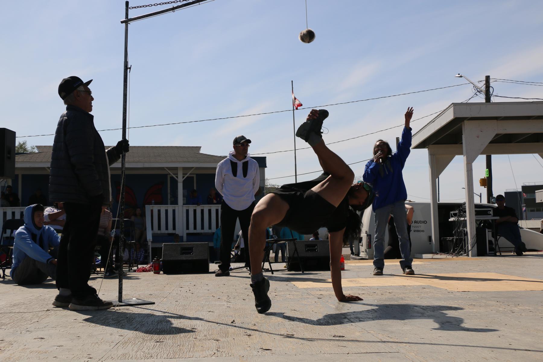
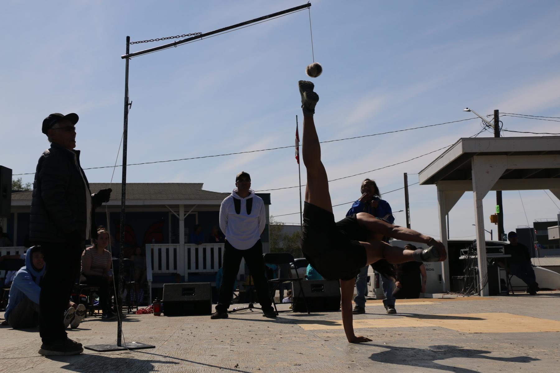
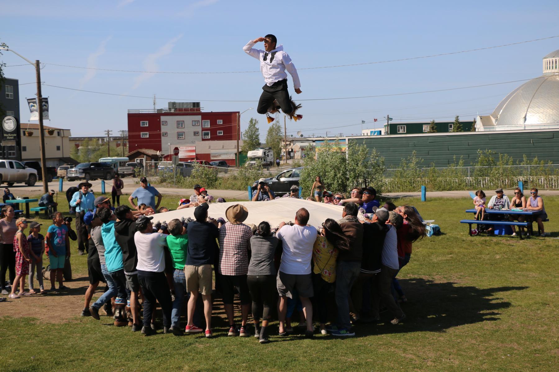
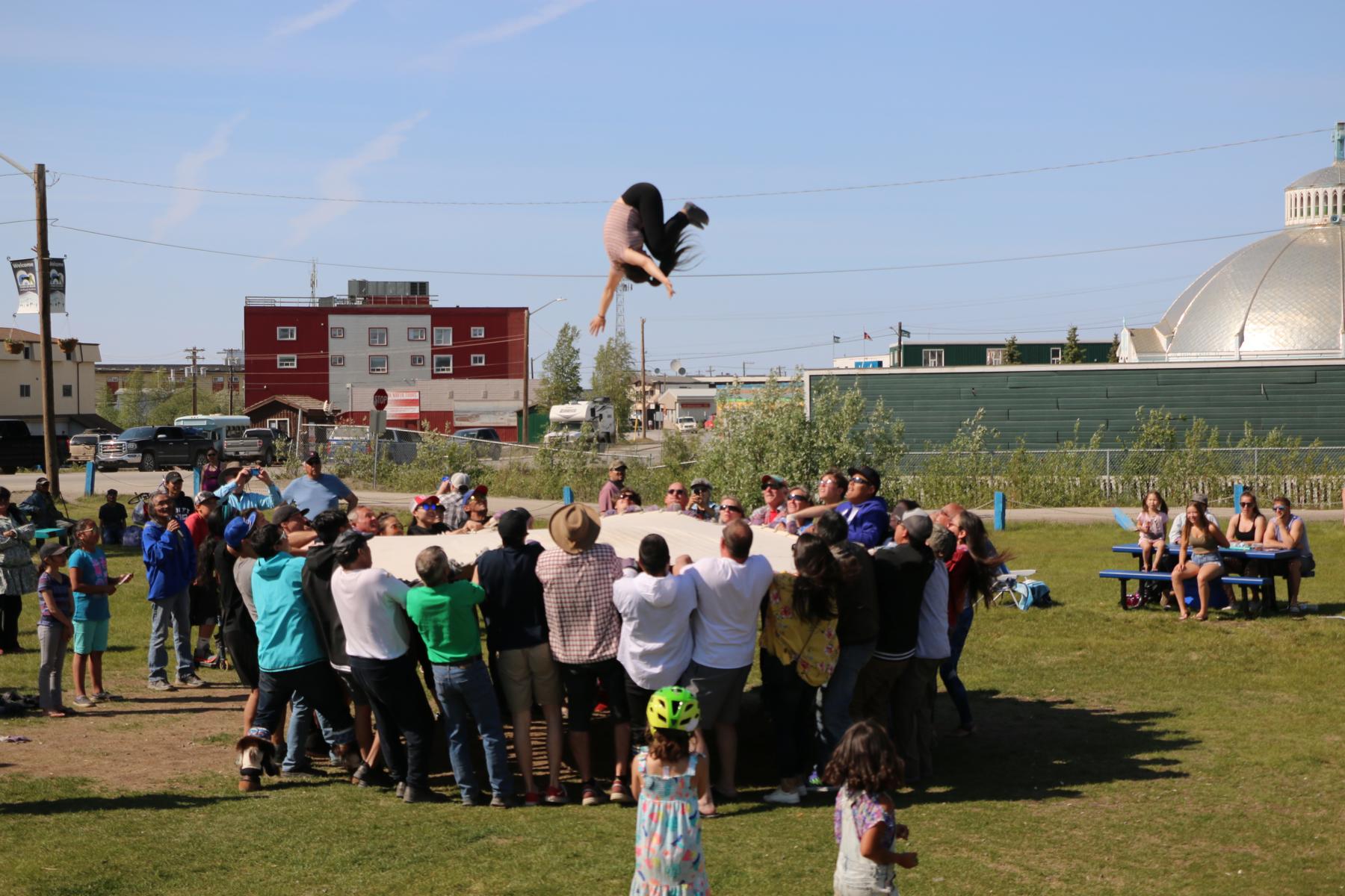
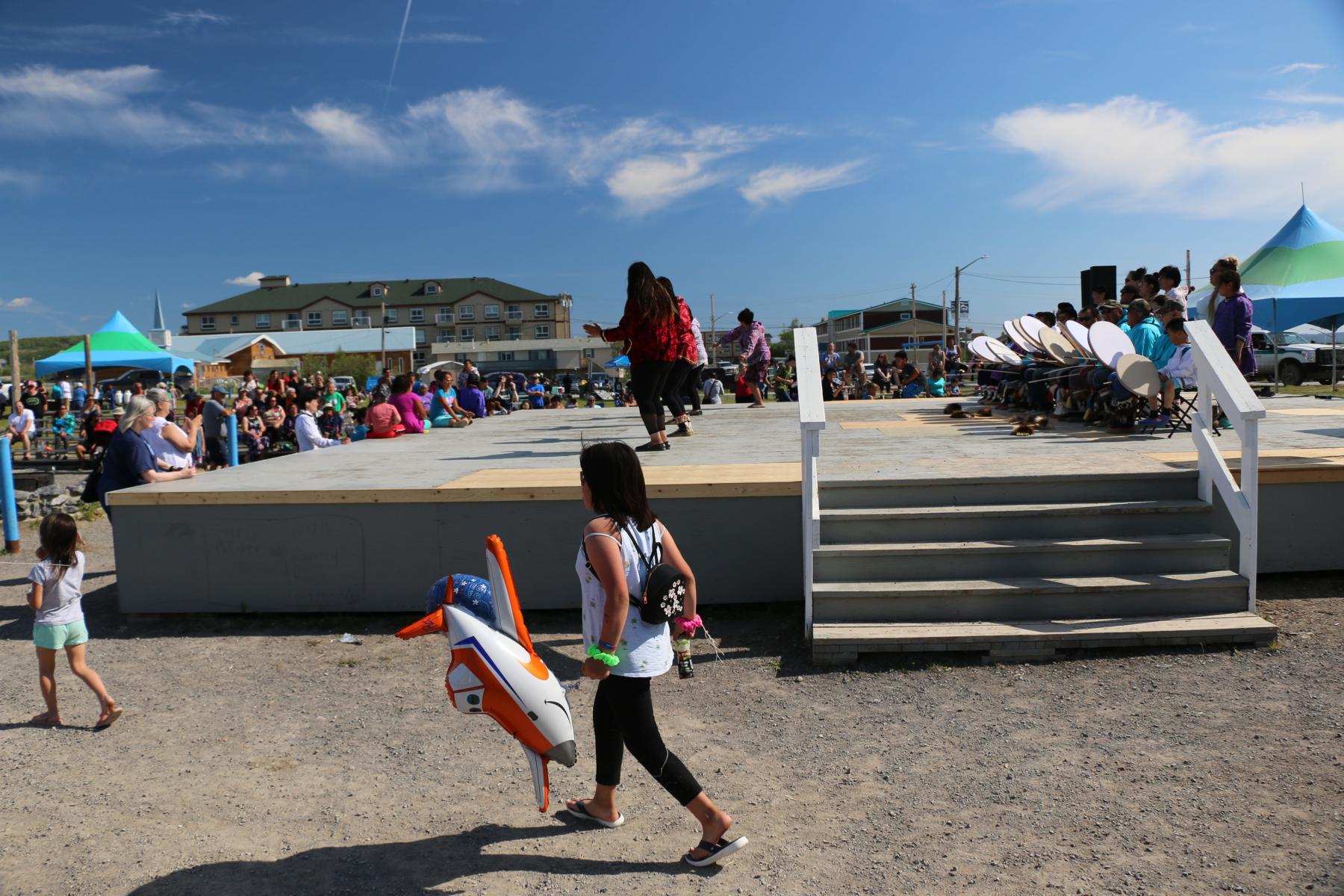
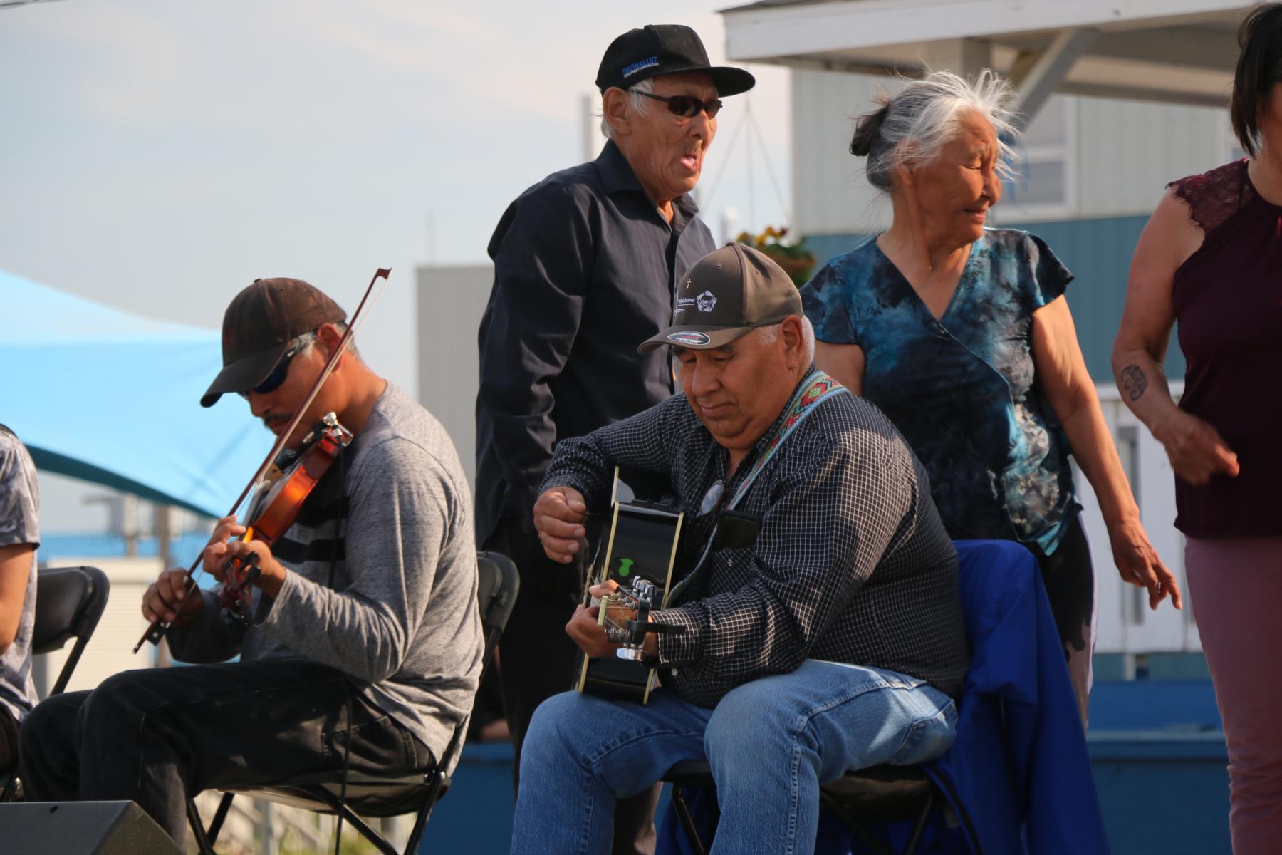
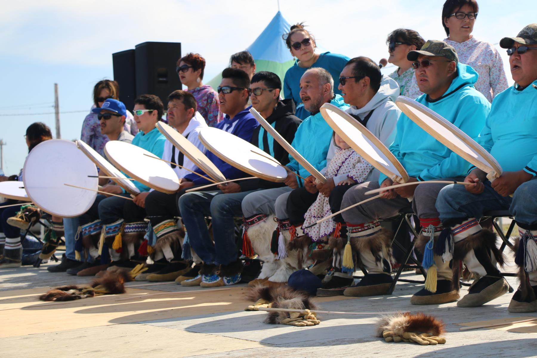
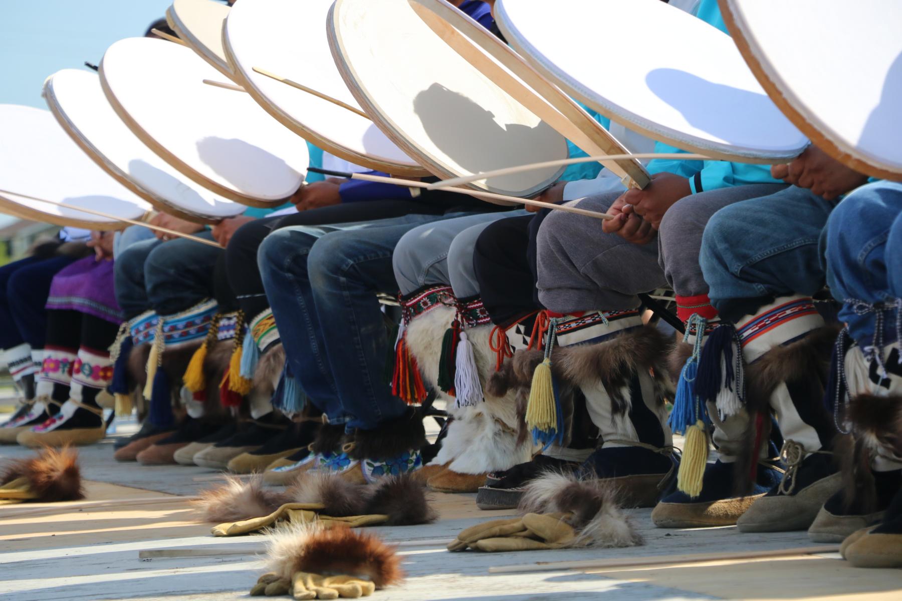
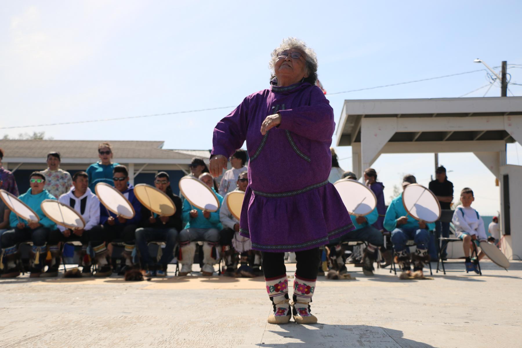
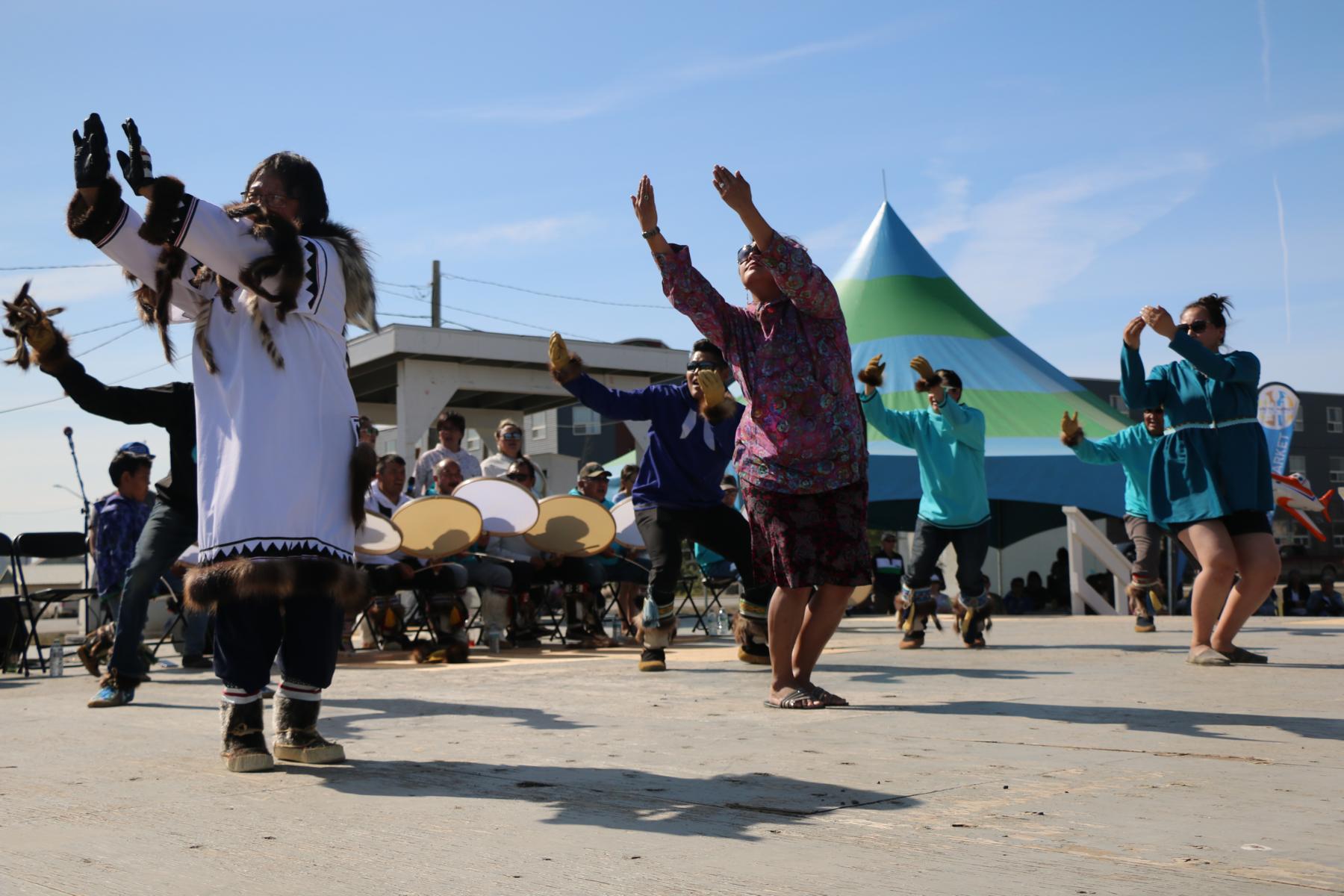
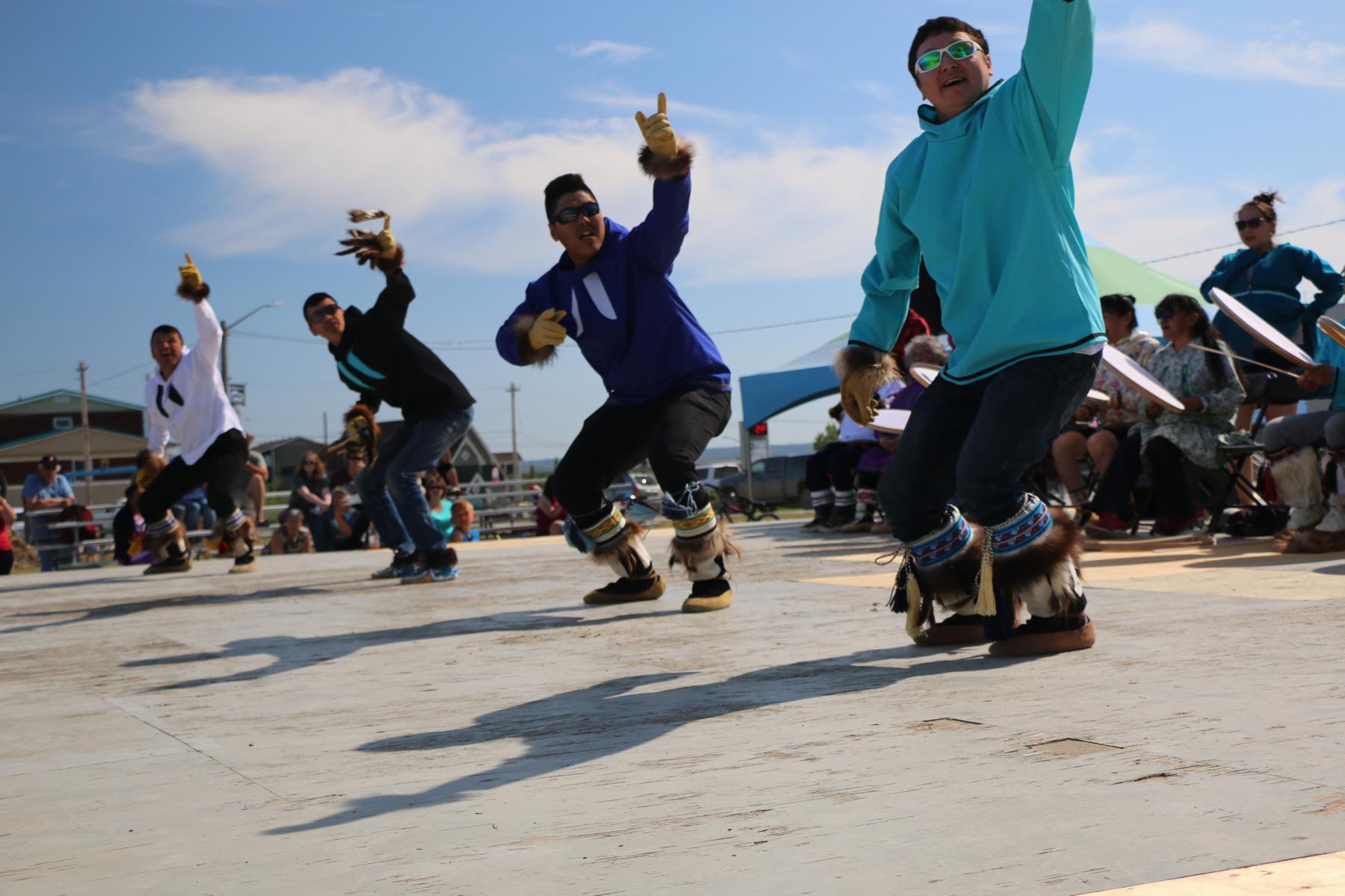
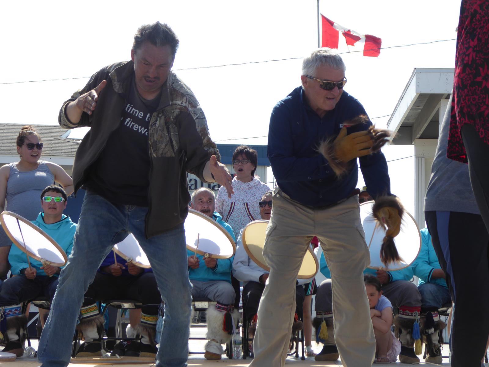
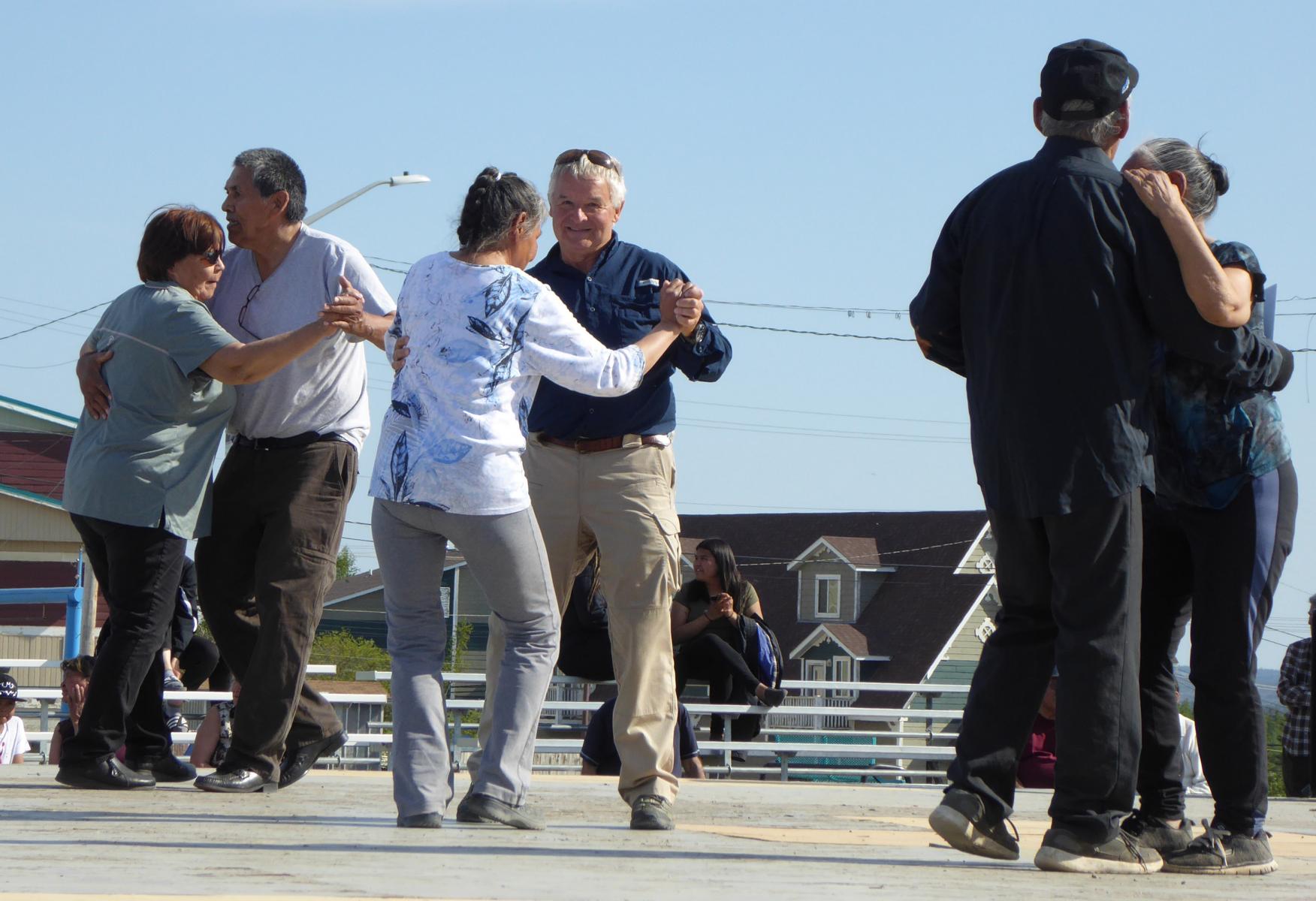
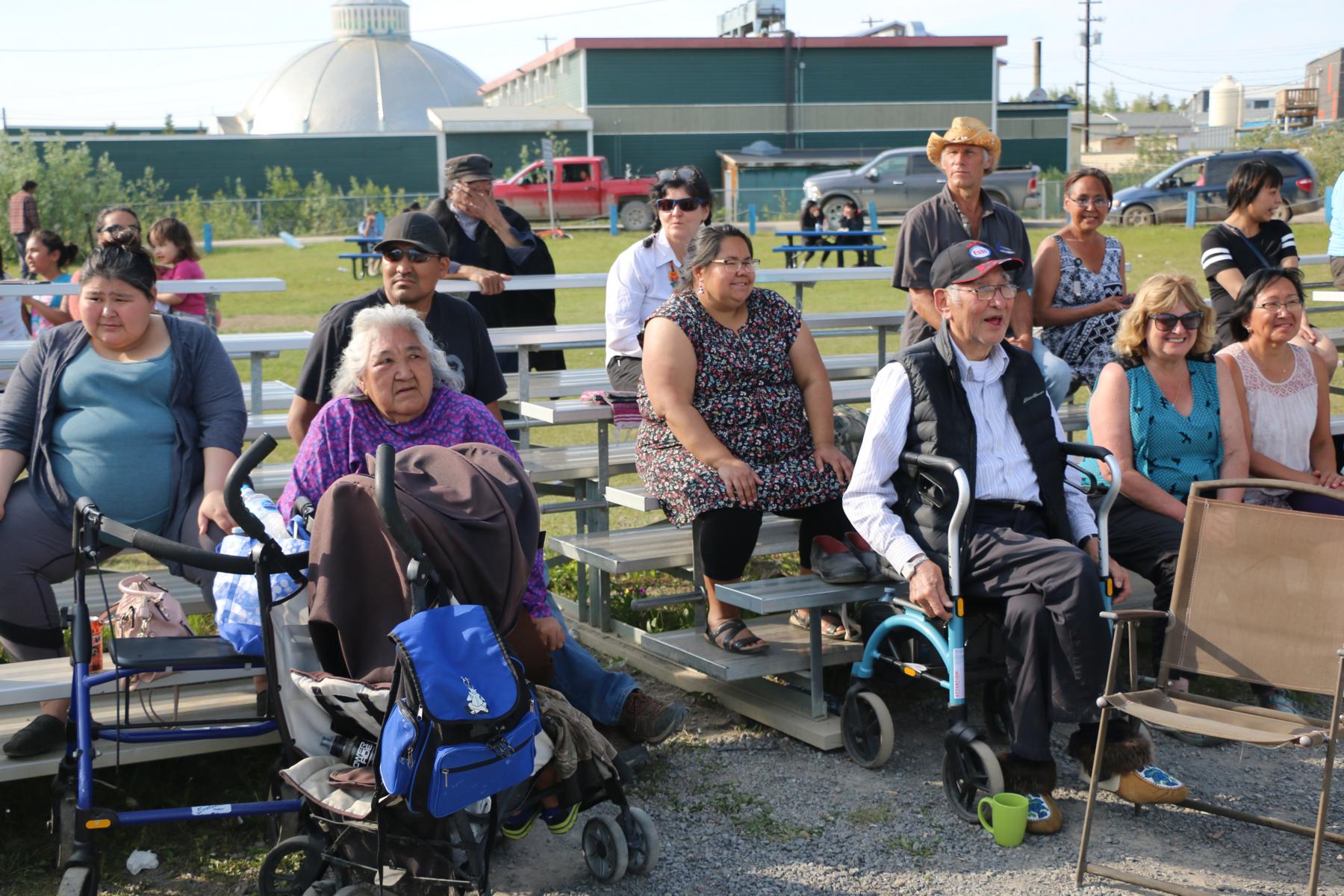
On 21 June we had the pleasure to participate the First Nation Day / June solstice celebration. The event consisted of sports activities (e.g. the arctic kick), traditional music and dancing.
Am 21 Juni nahmen wir am First Nation Day teil und feierten Sommer-Sonnenwende. Die Veranstaltung bestand aus Sportswettkämpfen (z.B. dem arktischen Fuß-Schnapper), traditioneller Musik und Tanz.
We had to get used to the fact that even at mid-night the sun was shining. In Inuvik it does not get dark for some six weeks. The two next photos were shot at ten minutes past mid-night on 22 June. The “Mad Trapper Bar” turned out to be the only dark place in town 😊.
Wir mussten uns erst daran gewöhnen, dass selbst um Mitternacht die Sonne schien. In Inuvik wird es sechs Wochen lang nie dunkel. Die beiden nächsten Fotos wurden um zehn Minuten nach Mitternacht am 22. Juni aufgenommen. Es stellte sich heraus, dass der einzige dunkle Ort die „Mad Trapper Bar“ war 😊.
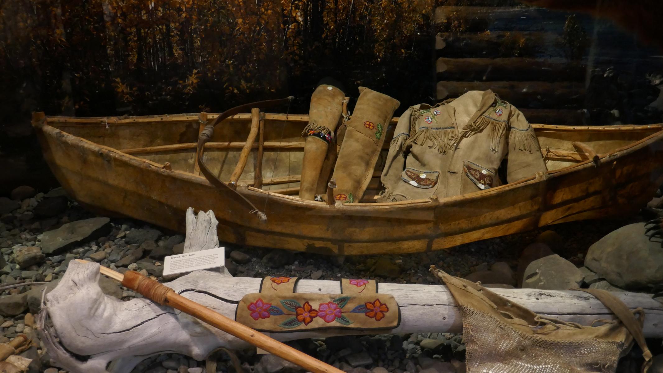
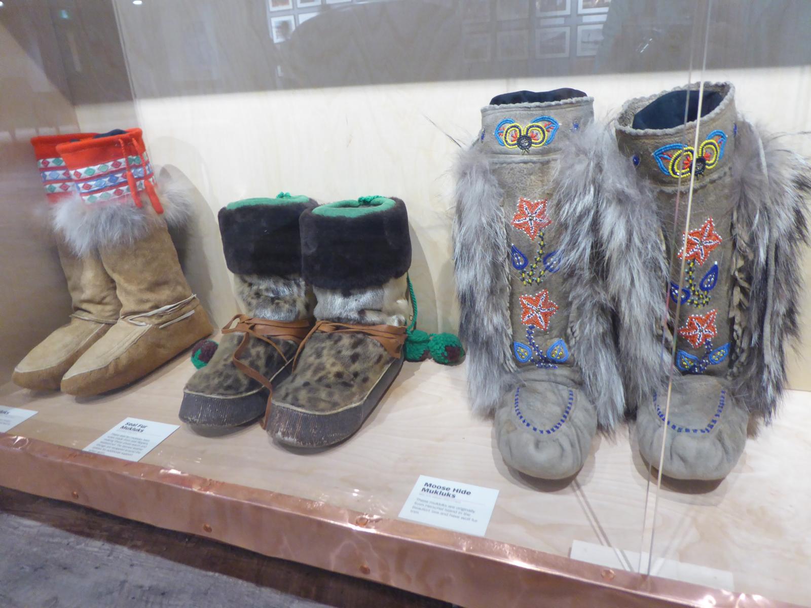
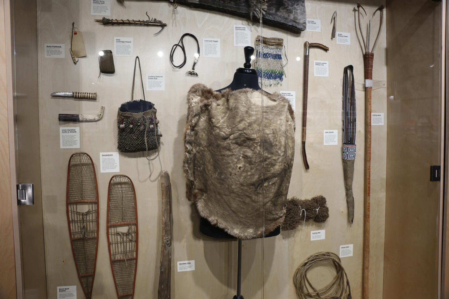
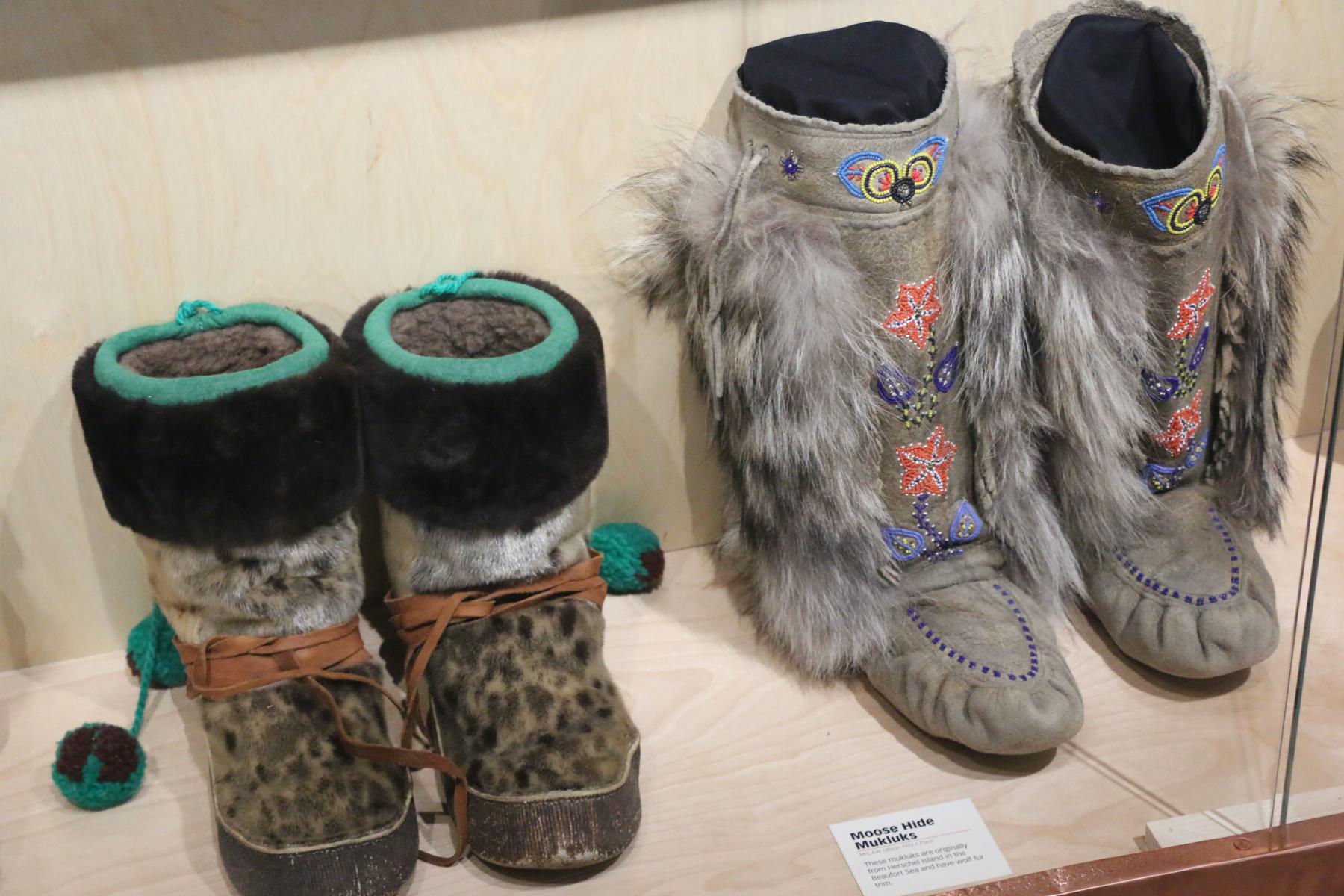
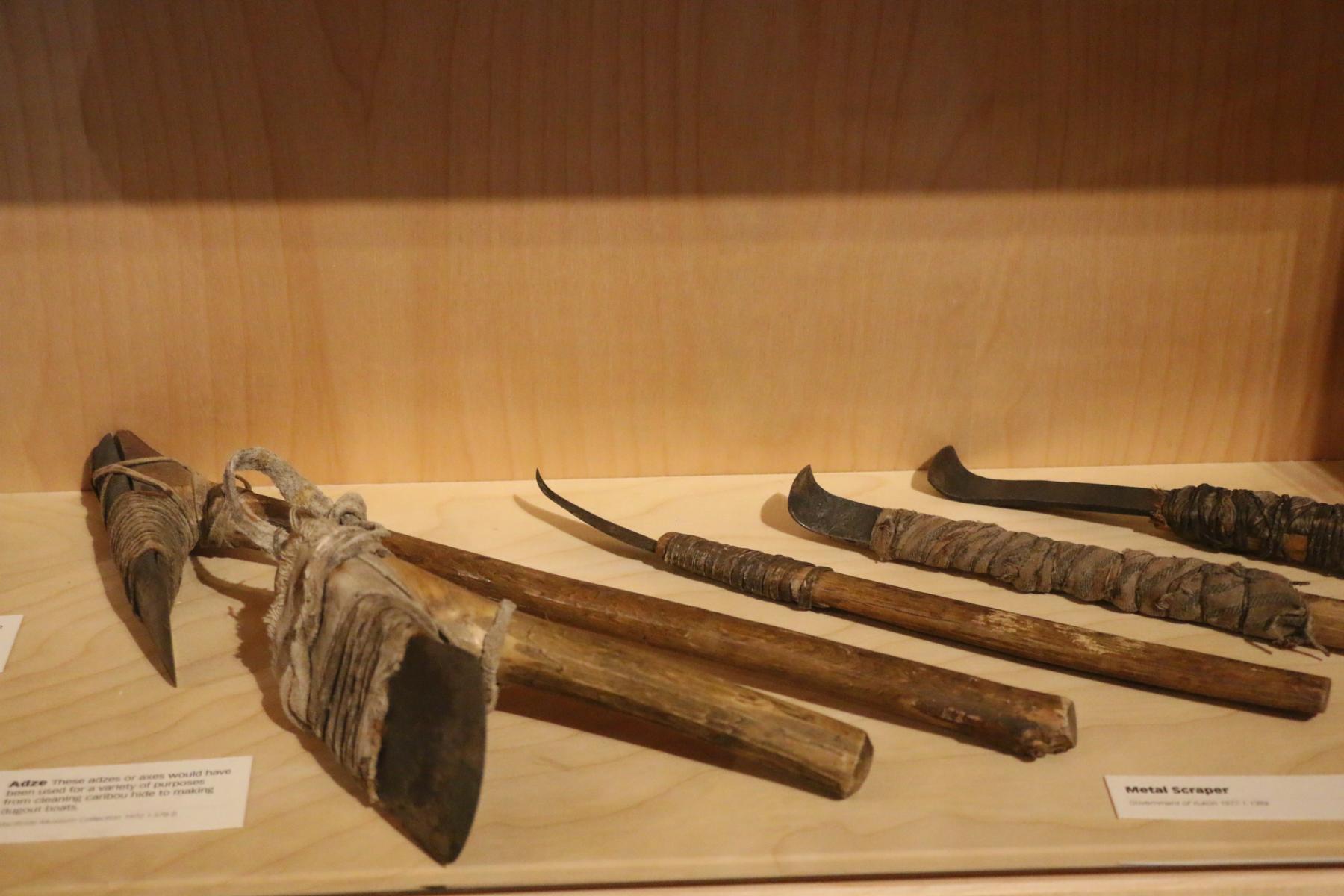
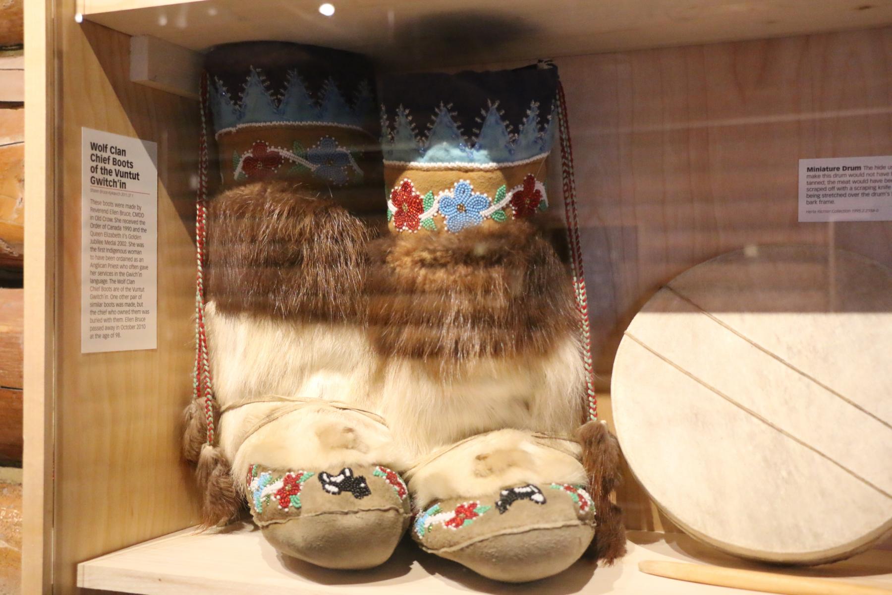
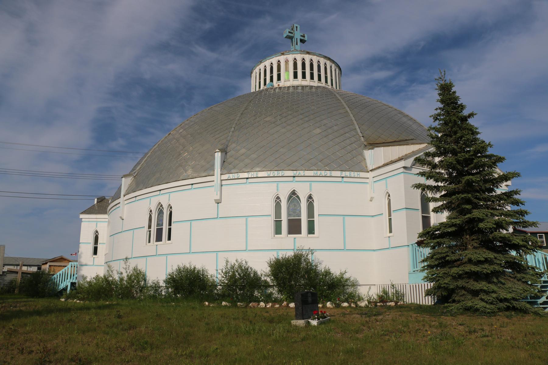
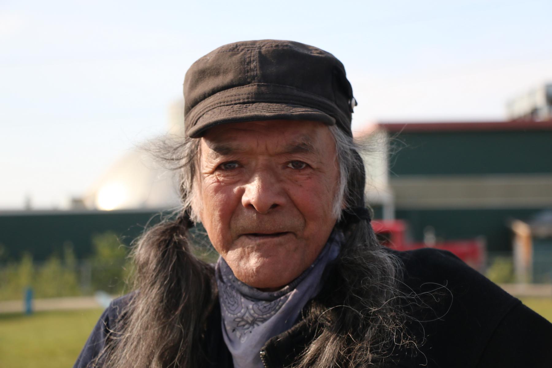
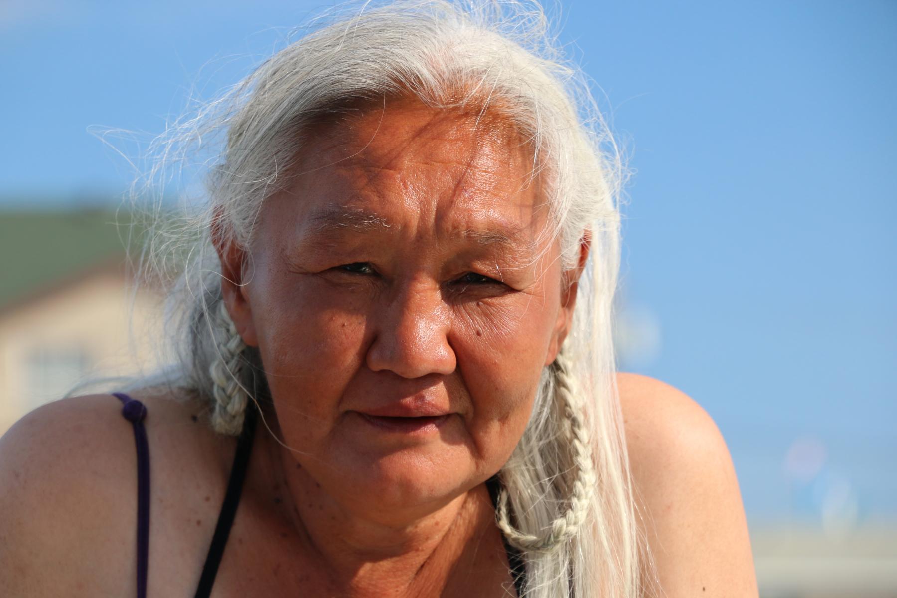
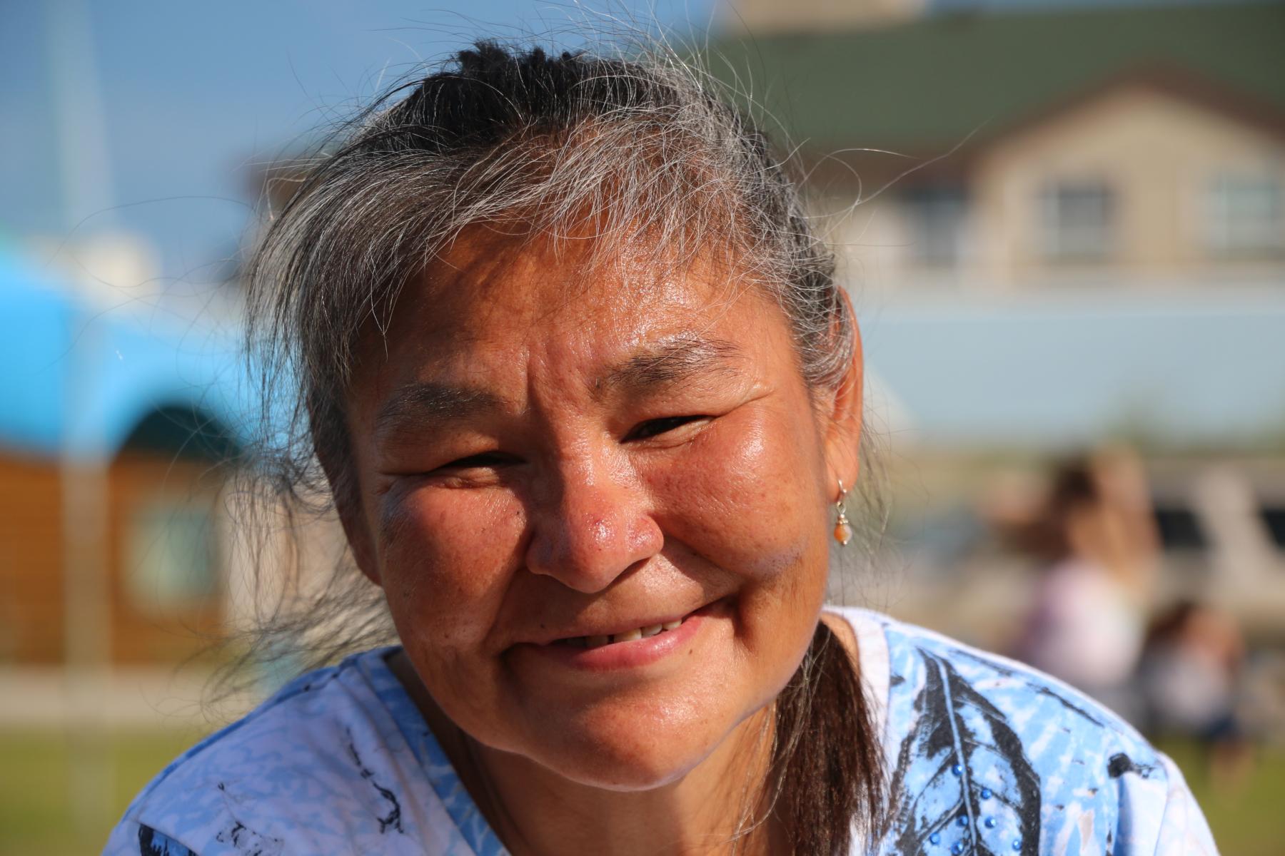
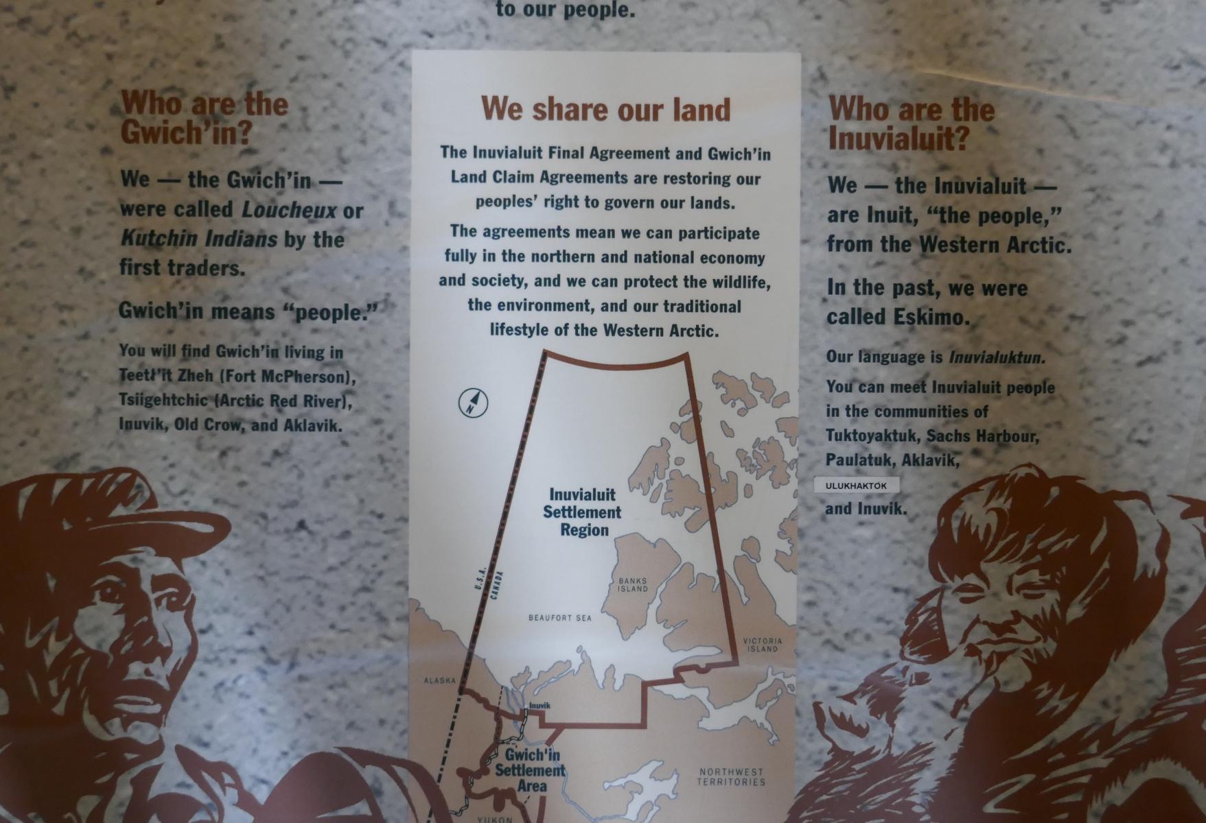
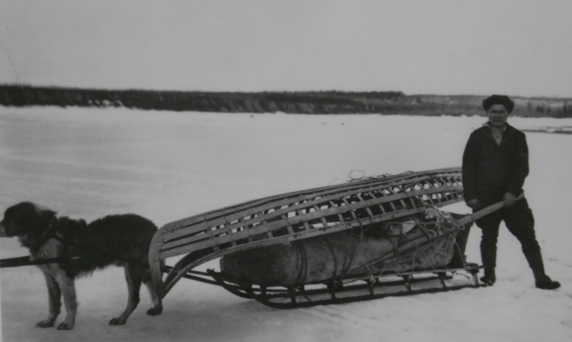
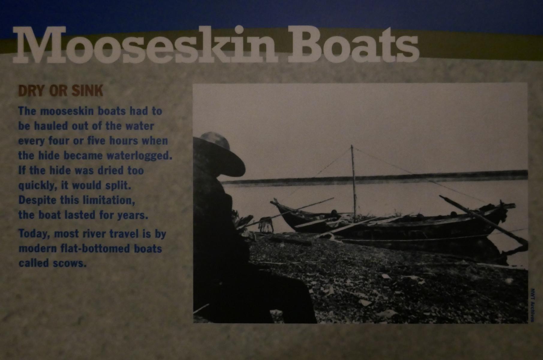
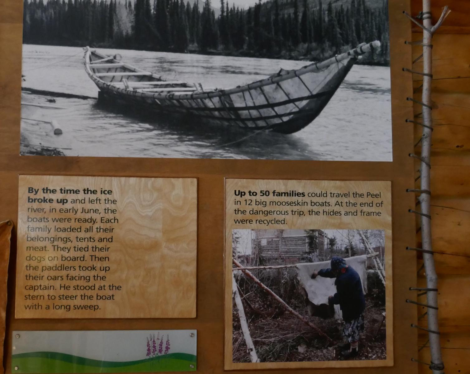
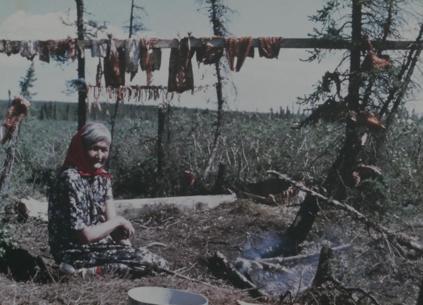
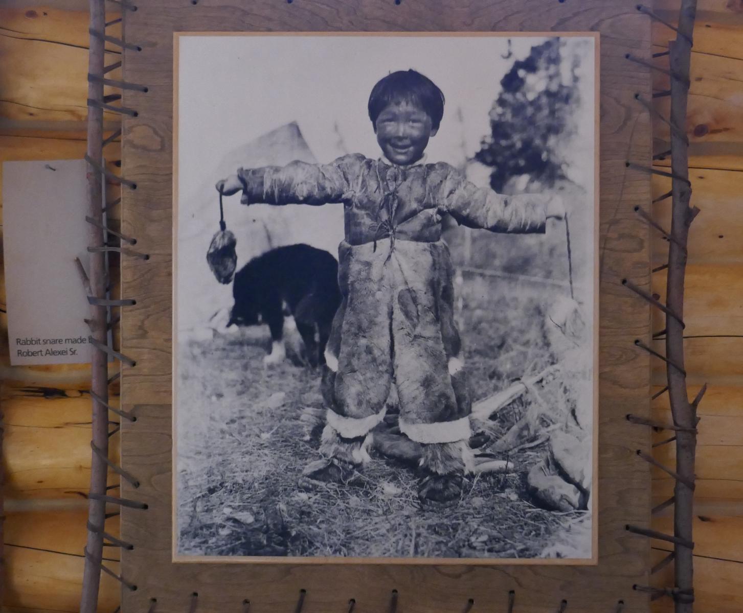
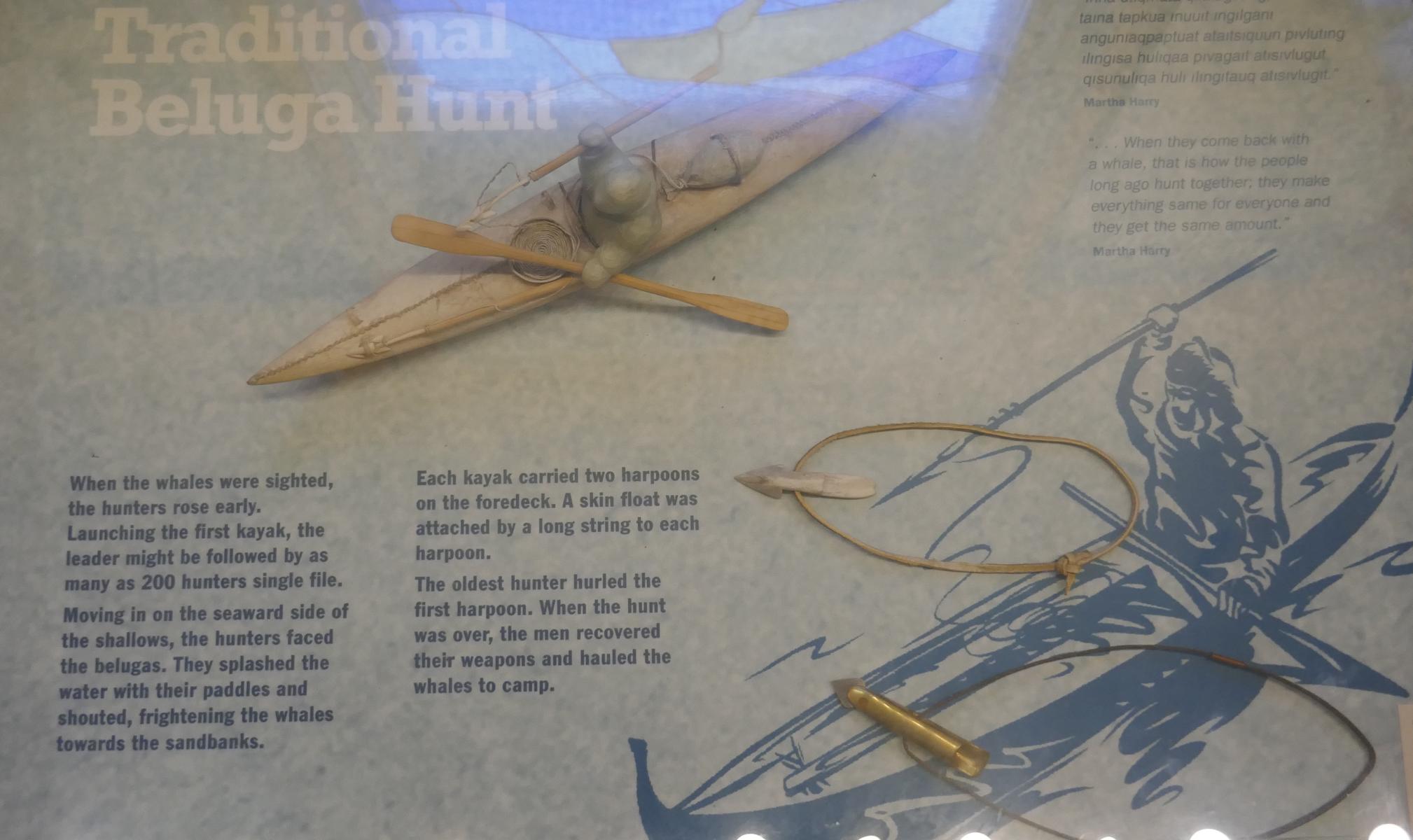
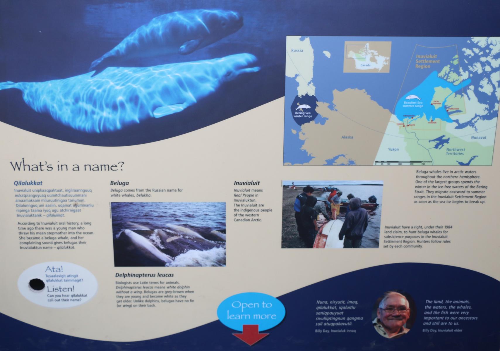
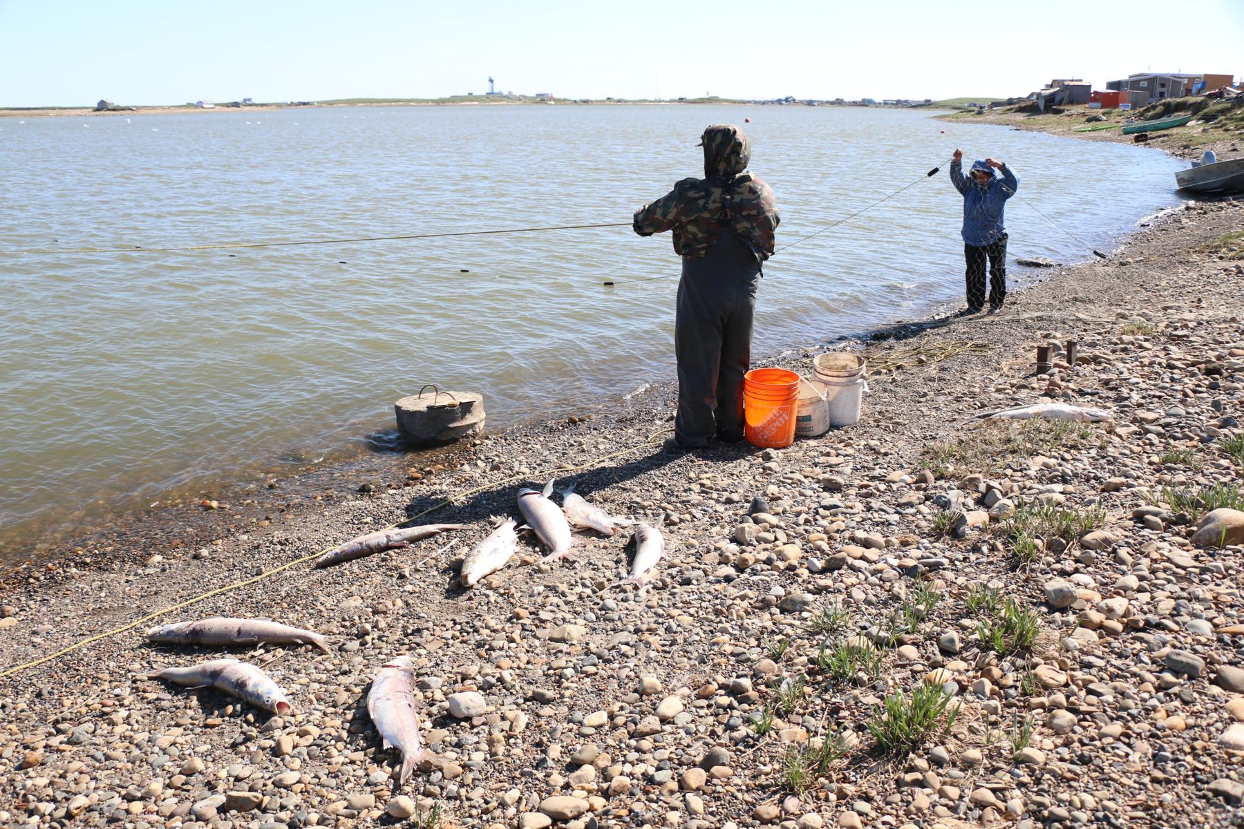
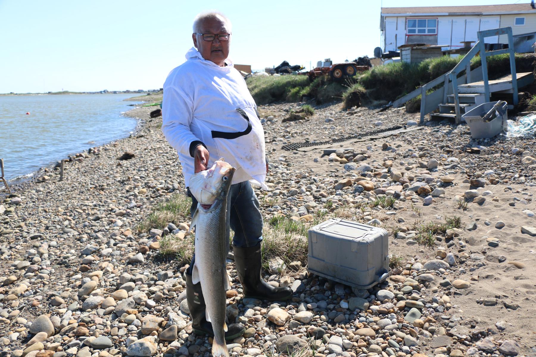
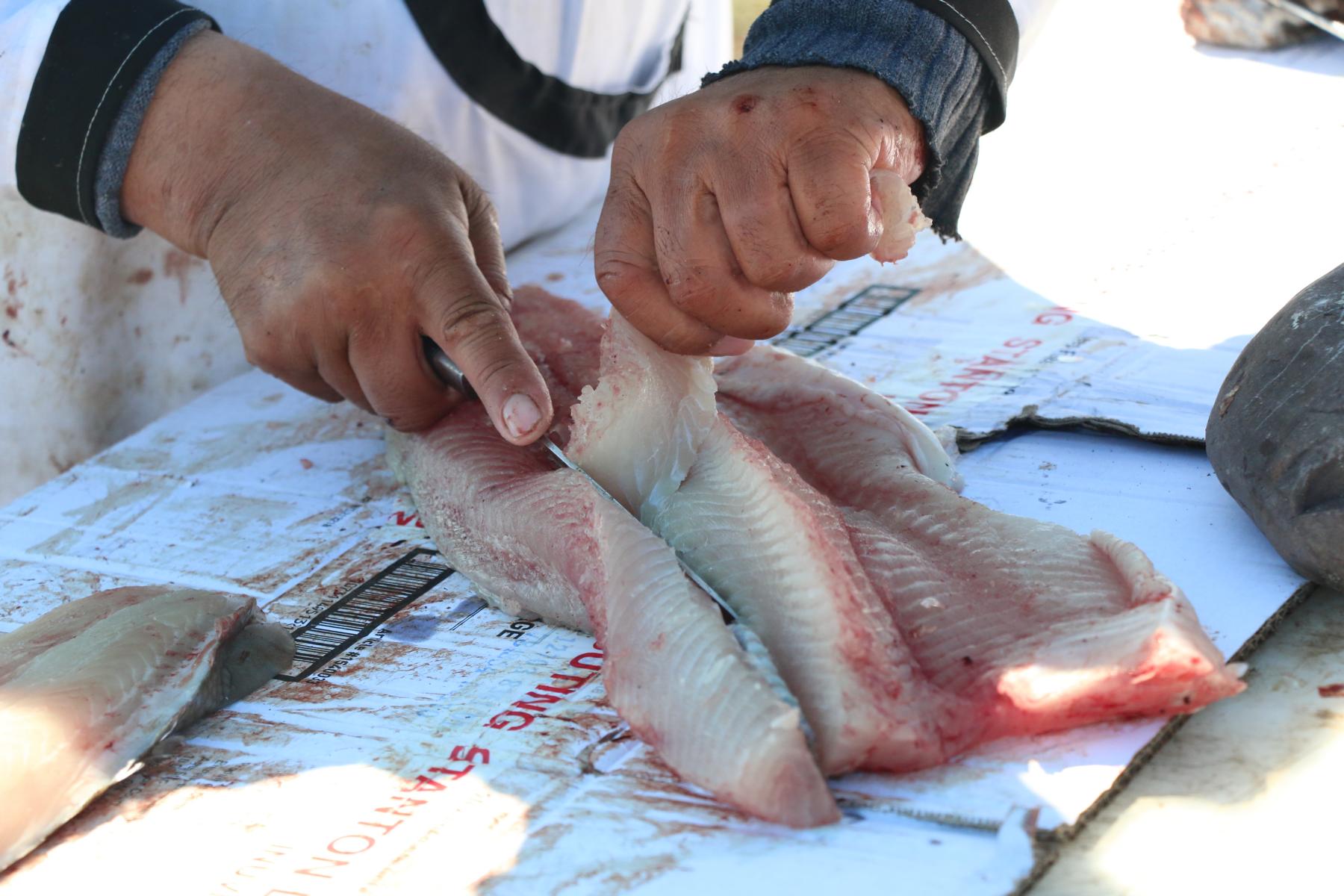
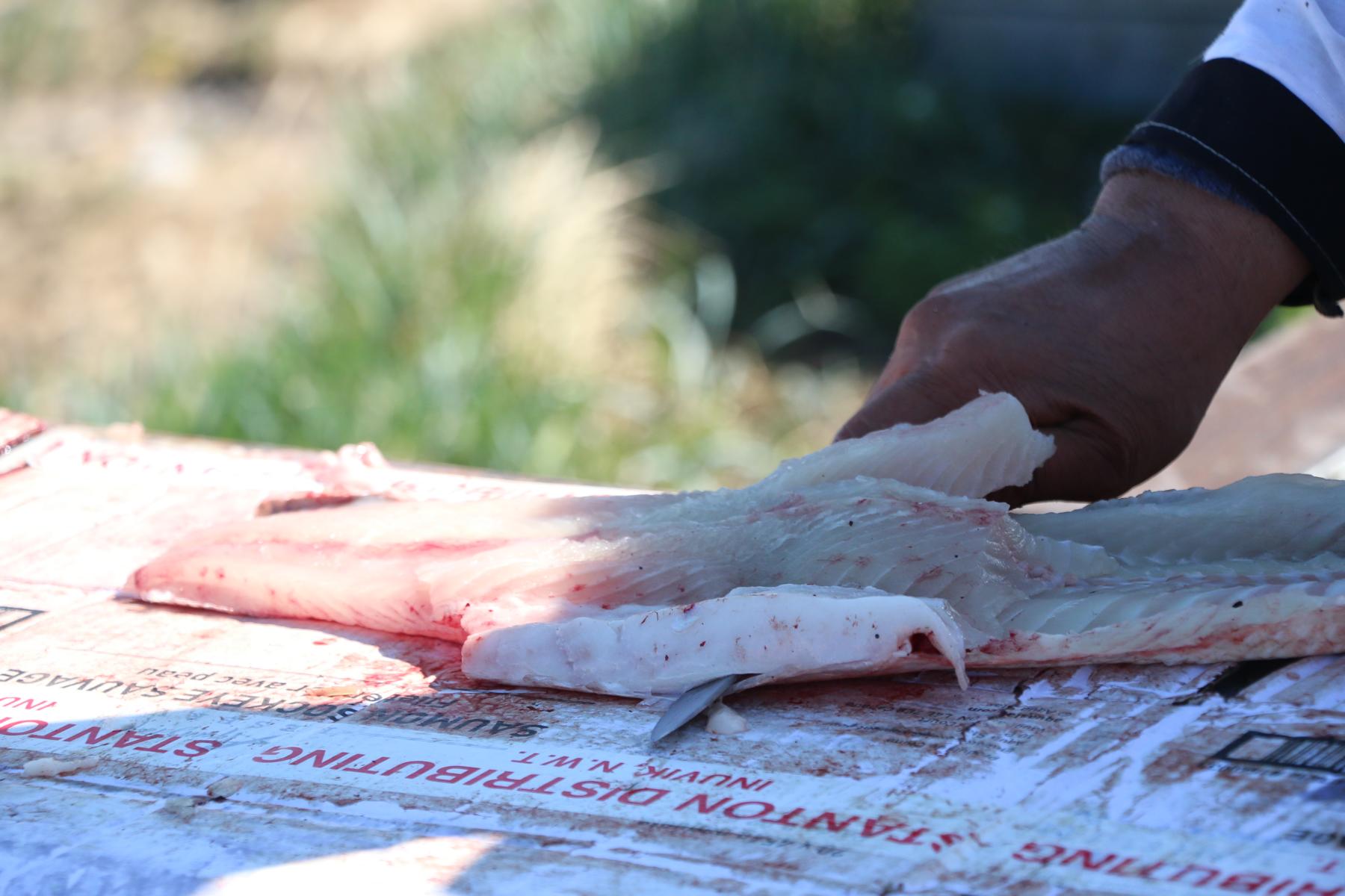
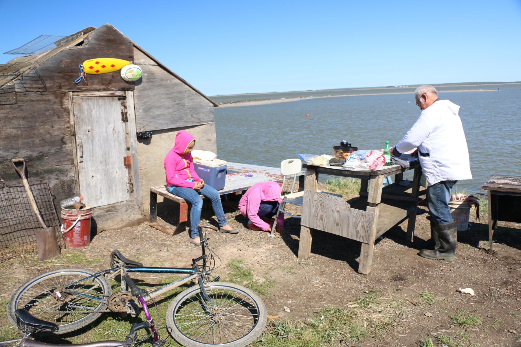
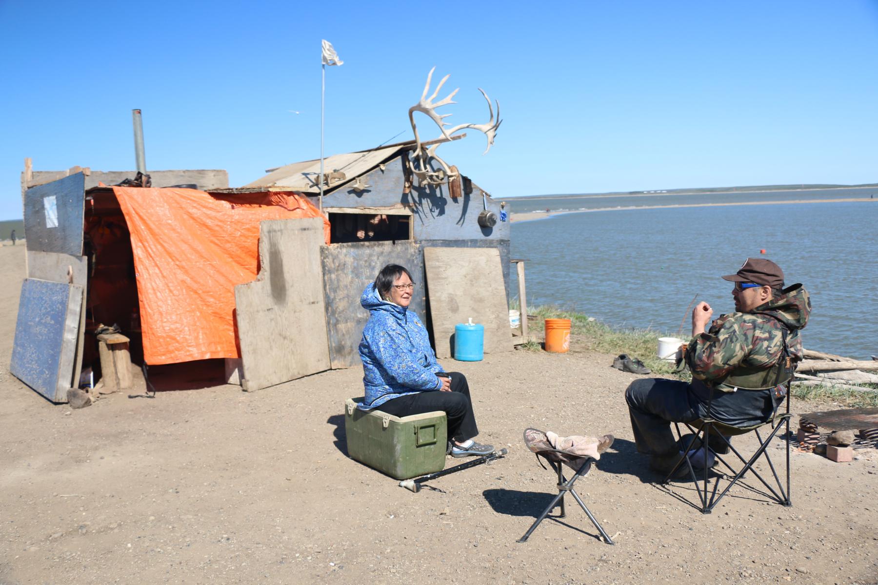
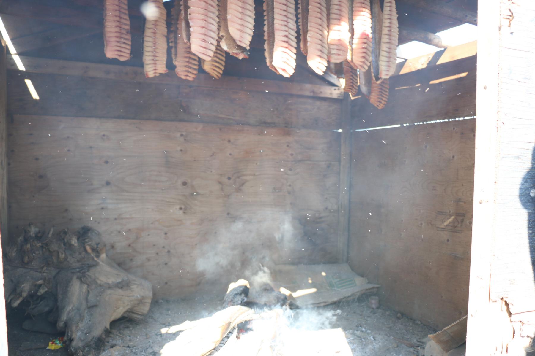
The area south and north of Inuvik is populated by Gwich’in and Inuvialuit. The latter are a sub-nation of the Inuit (the term “eskimo” is derogatory and should not be used). The following photos show their traditional way of life.
Das Gebiet südlich und nördlich von Inuvik wird von Gwich’in und Inuvialuit besiedelt. Letztere sind eine Untergruppe der Inuit (der Terminus „Eskimo“ soll nicht mehr verwendet werden, da er als diskriminierend empfunden wird). Die folgenden Fotos zeigen ihre traditionelle Lebensweise.
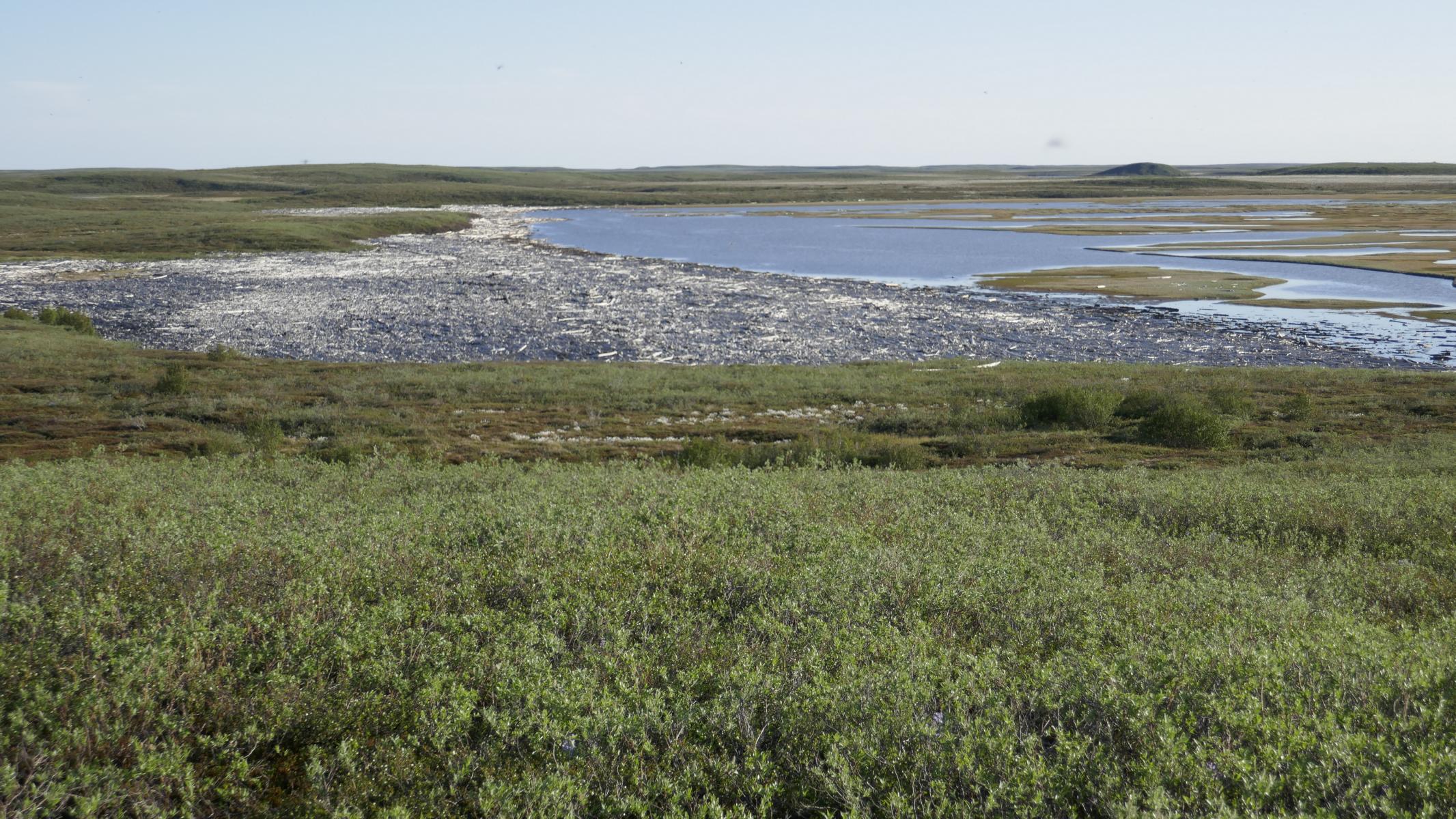
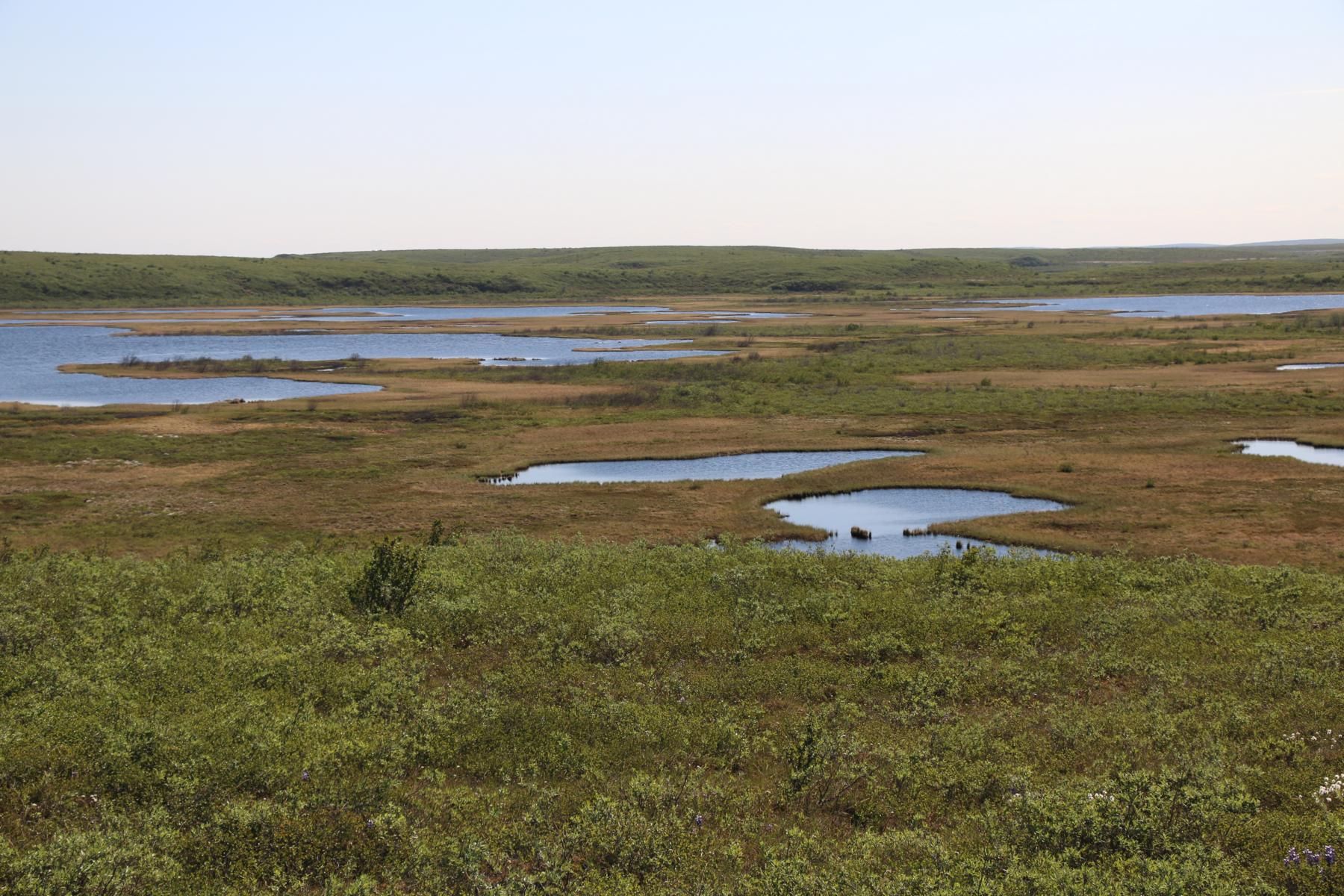
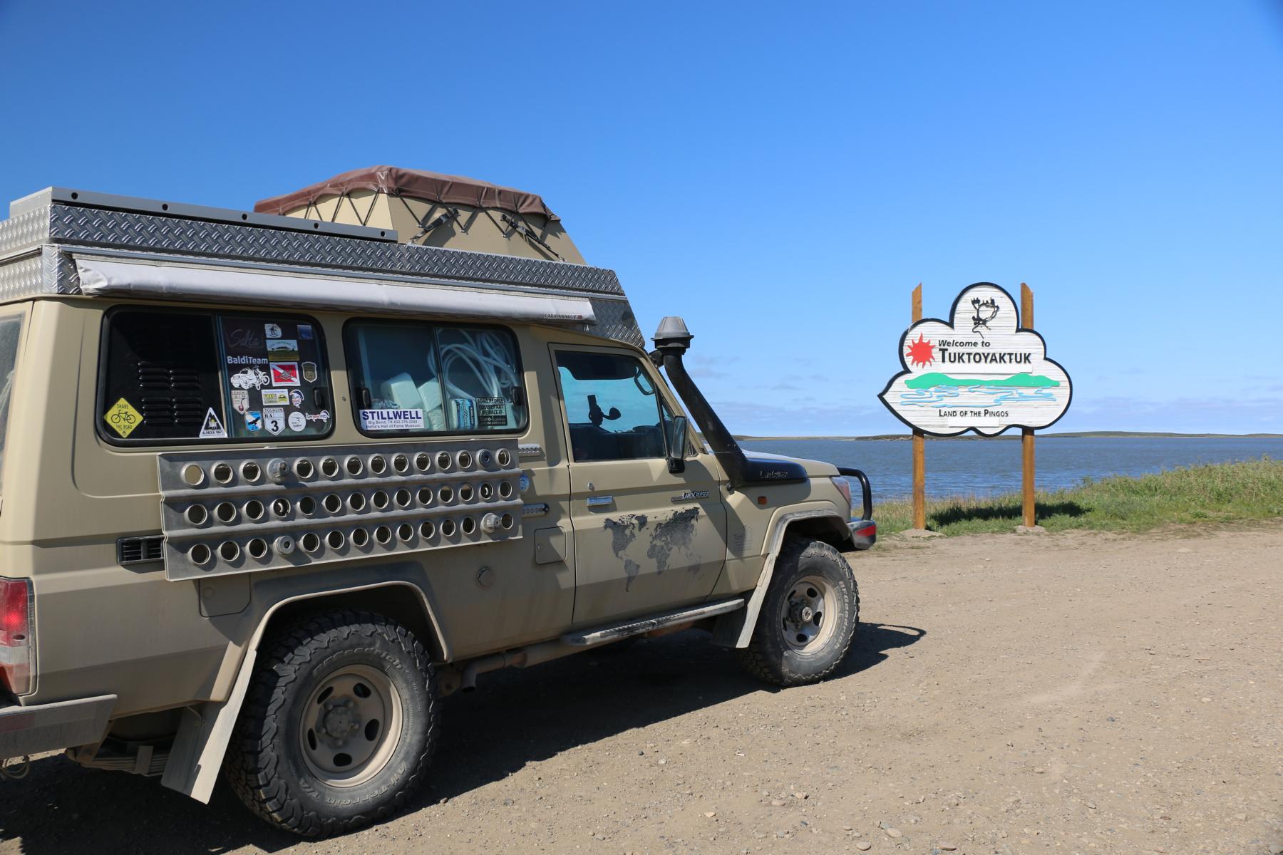
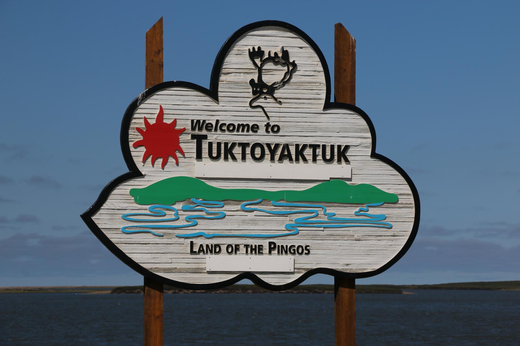
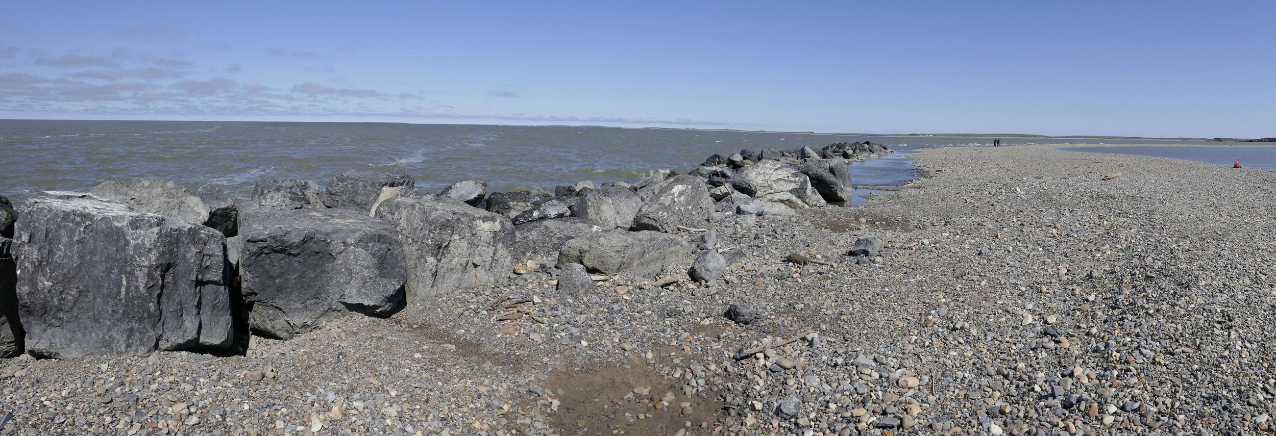
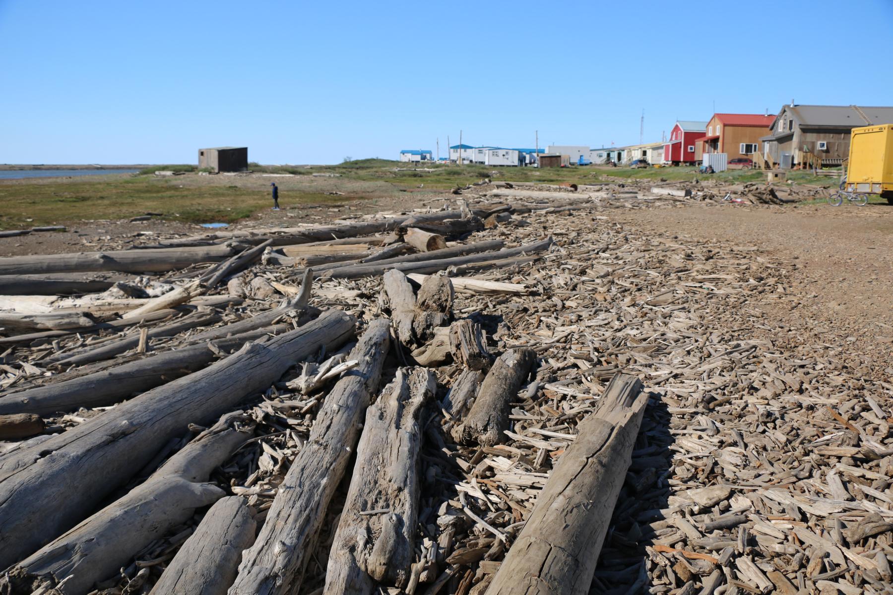
In 2017 the Dempster Highway was extended by another 140 km northwards reaching the Arctic Ocean at the town Tuktoyaktuk. Thus, the Dempster HW is Canada’s first all-weather road, connecting the Canadian road network with the Arctic Ocean. The tundra vegetation becomes even more barren and the trees tend to be smaller and smaller.
2017 wurde der Dempster Highway um 140 km verlängert und erreichte bei der kleinen Ortschaft Tuktoyaktuk den Arktischen Ozean. Er ist damit die erste All-Wetter Straße, die das kanadische Straßennetz mit dem Arktischen Ozean verbindet. Klima-bedingt wird die Tundra immer karger und die Bäume werden immer niedriger.
Looking at the world from a different angle.
Die Welt aus einem anderen Blickwinkel gesehen.
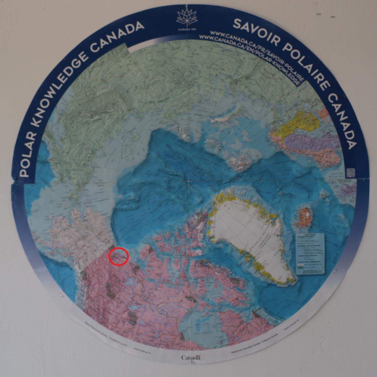
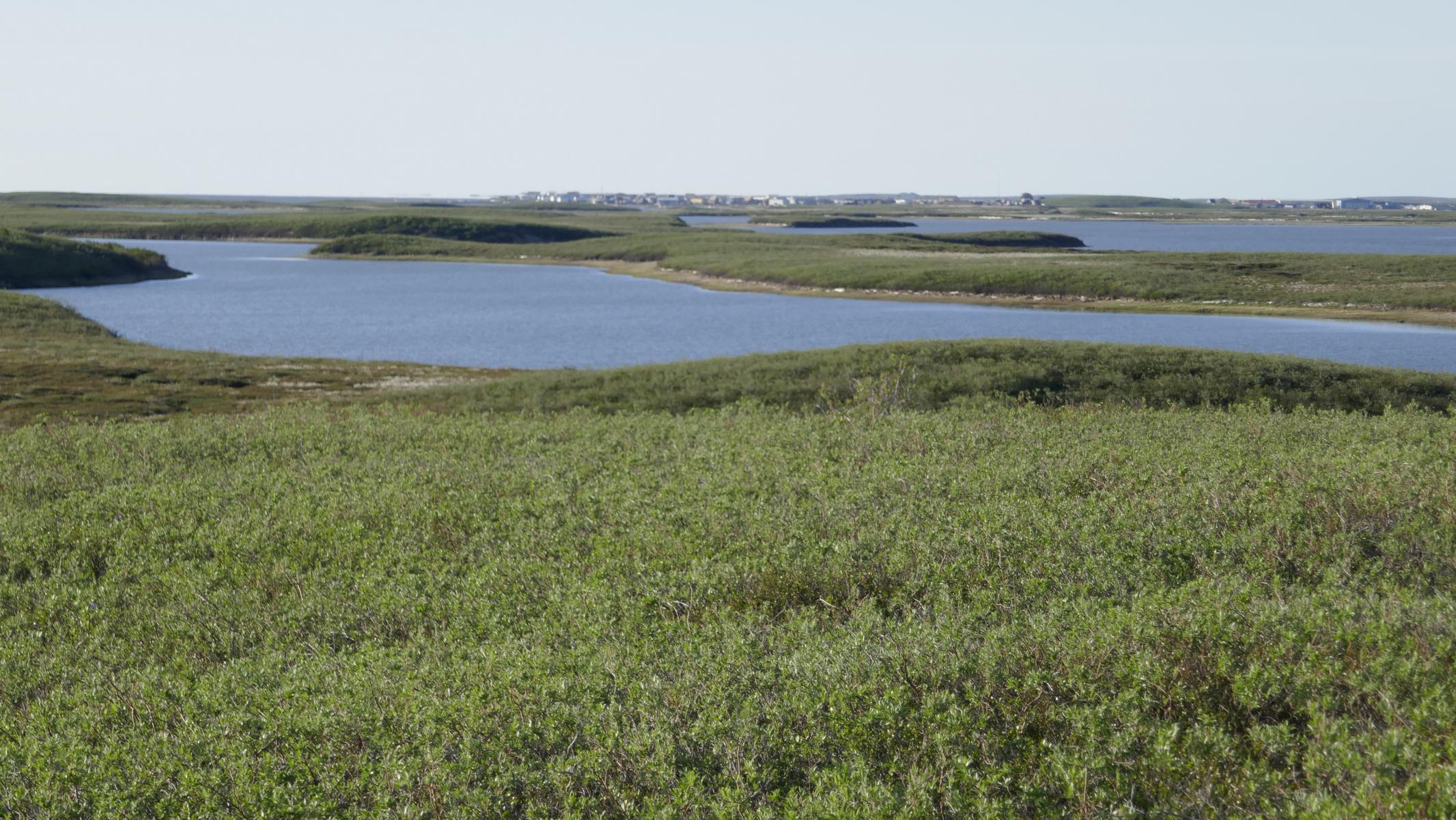
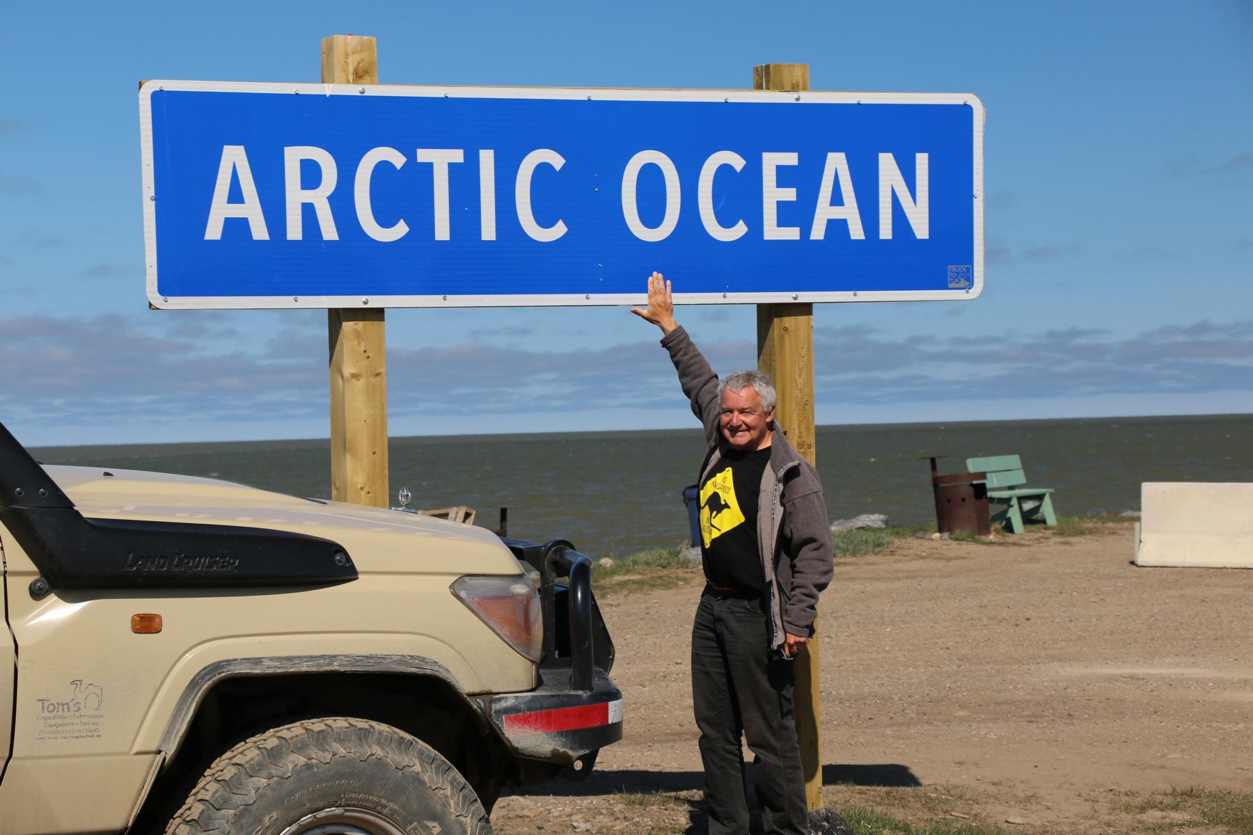
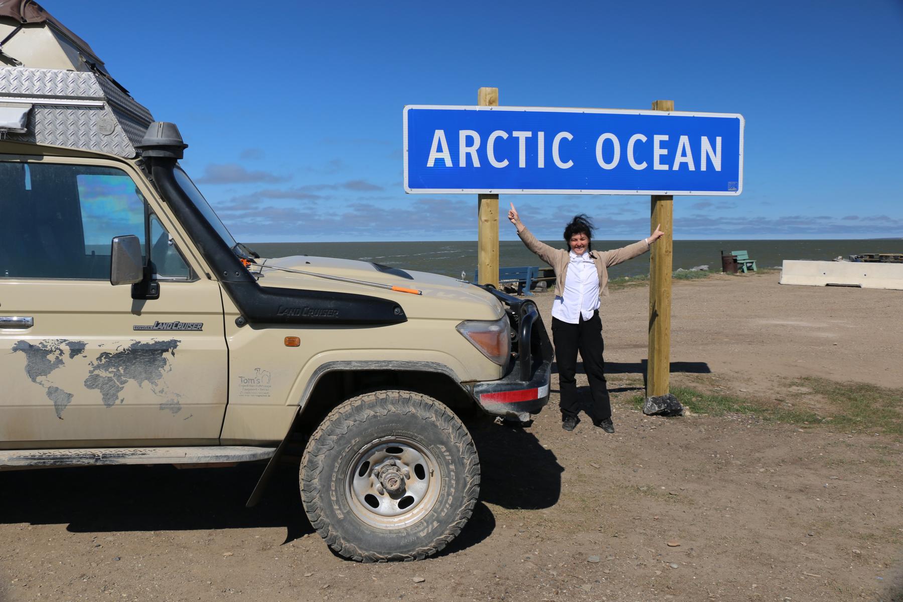
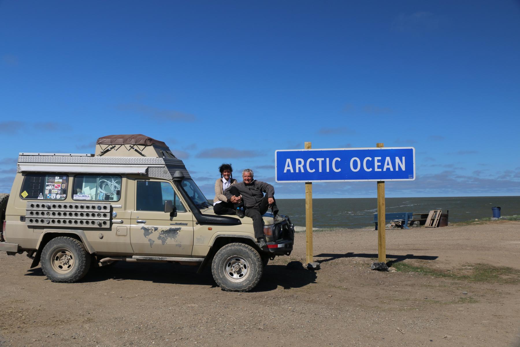
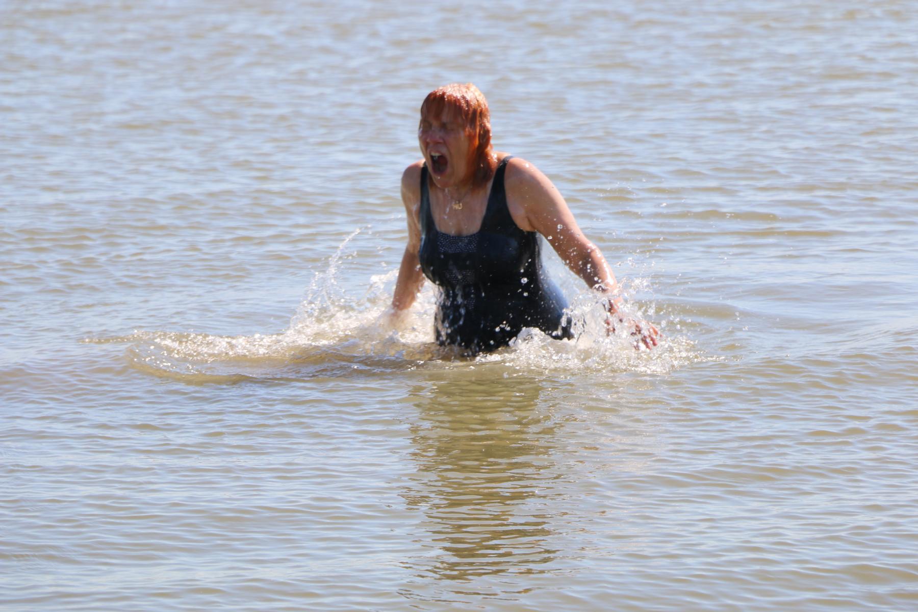
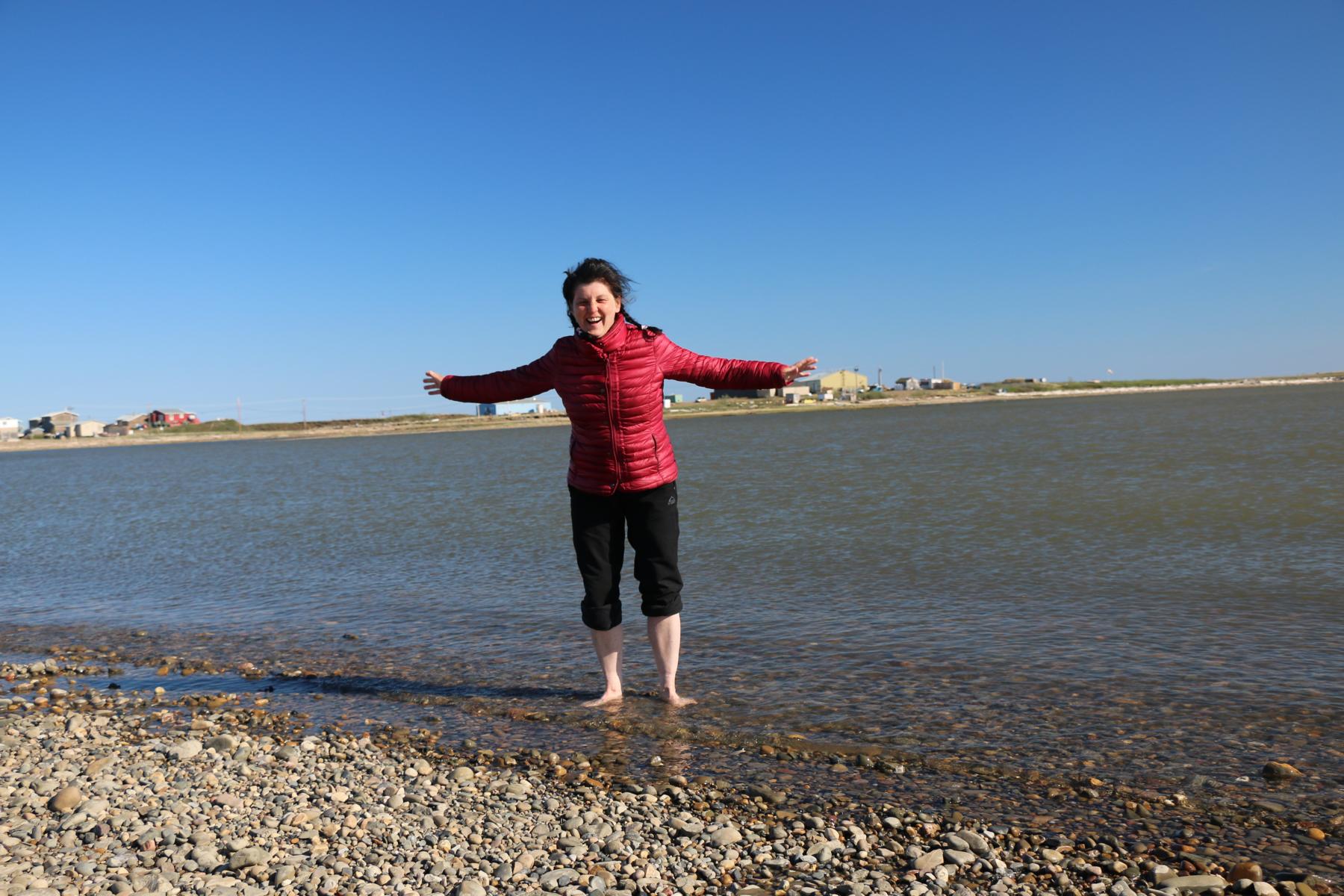
WE DID IT!!!! Starting in December 2016 in Uruguay I arrived in Ushuaia / Argentina in Feb 2017, the most southern place reachable by car. Together with Ursula (who joined in October 2017 in Peru) I reached on 24 June 2019 at the Arctic Ocean. The small Canadian Inuvialuit village Tuktoyaktuk located at 68-degree N latitude at the end of the Dempster Highway will be the most northern point of our journey. Behind us lay 78,000 exiting kilometers, great landscapes, fascinating cultures and thrilling adventures. But most important of all: Many meetings with inspiring and interesting people.
WIR HABEN ES GESCHAFFT!!! Gestartet im Dezember 2016 in Uruguay war ich im Februar 2017 in Ushuaia / Argentina, dem südlichsten Ort, den man mit einem Auto erreichen kann. Ursula, die seit Oktober 2017 mit mir reist, und ich erreichte schließlich am 24. Juni 2019 den Arktischen Ozean. Die kleine kanadische Inuvialuit Siedlung Tuktoyaktuk, am 68 Breitengrad gelegen, bildet das Ende des Dempster Highways und den nördlichsten Punkt unserer Reise. Hinter uns liegen 78.000 aufregende Kilometer, eindrucksvolle Landschaften, faszinierende Kulturen und viele spannende Abenteuer. Am wichtigsten aber waren die zahlreichen Begegnungen mit interessanten Menschen.
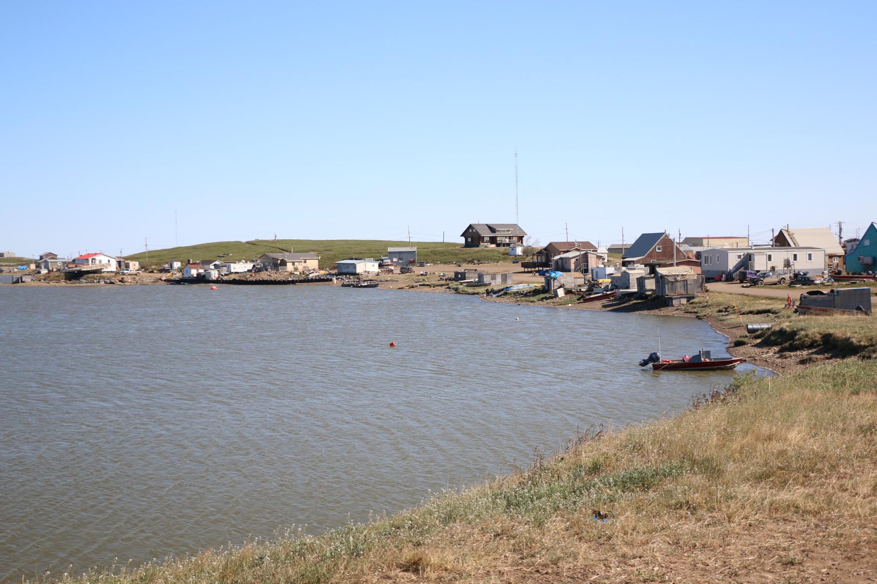
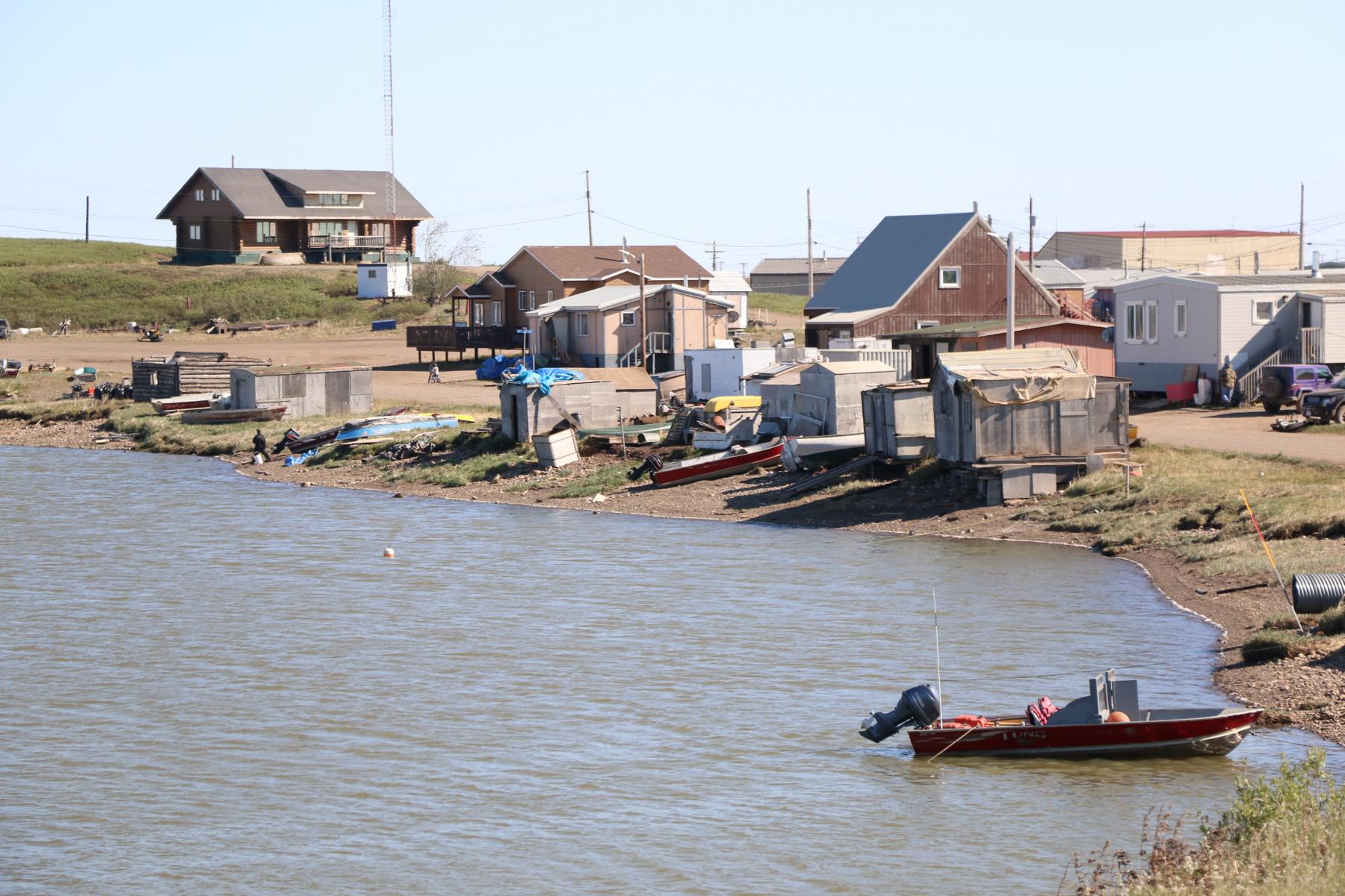
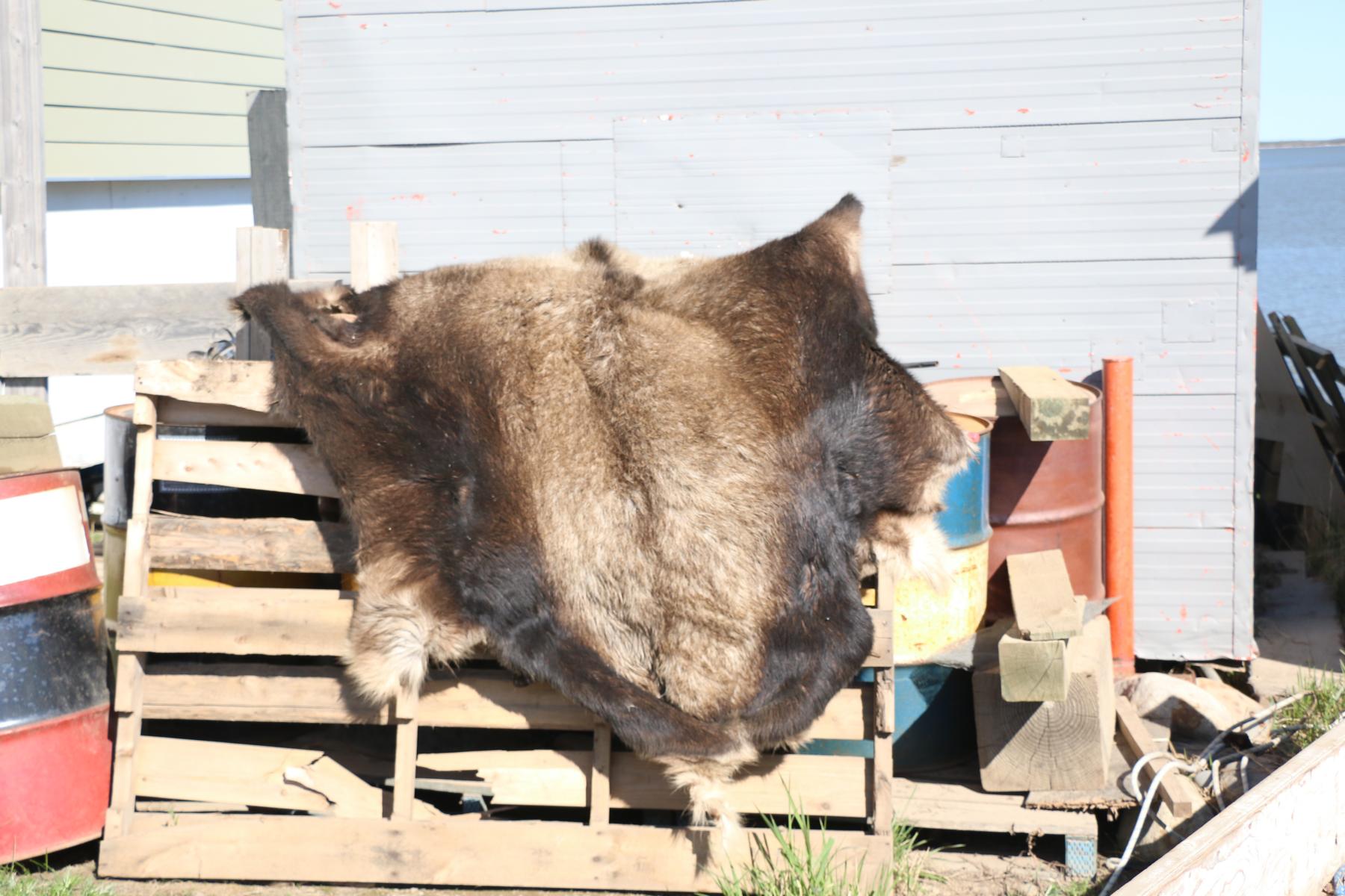
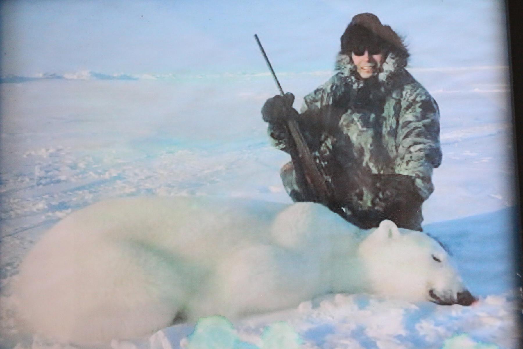
Apart of some oil drilling economic life in Tuktoyaktuk revolves round fishing and hunting.
Von Erdölbohrungen abgesehen dreht sich das Leben in Inuvik um Jagen und Fischen.
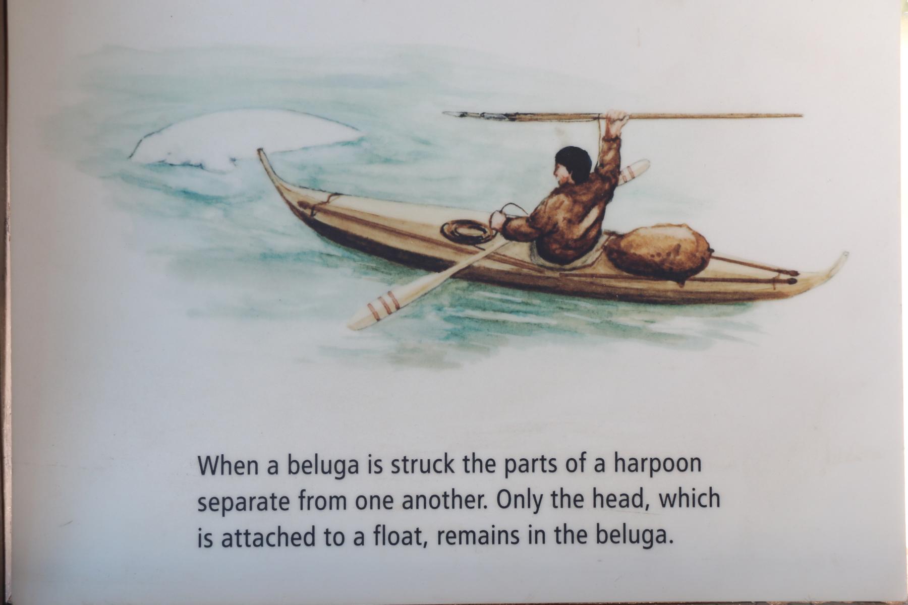
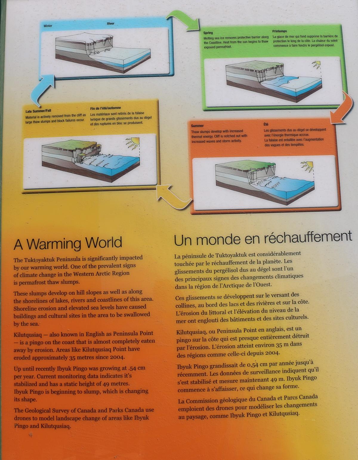
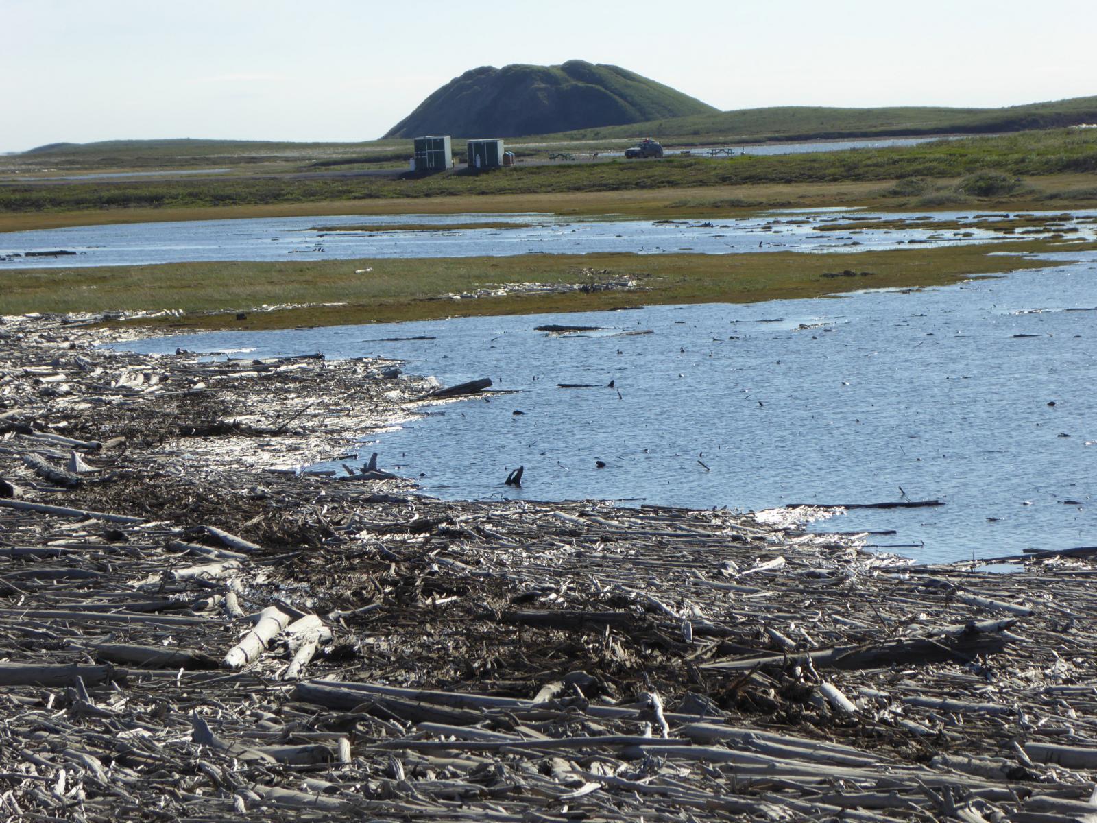
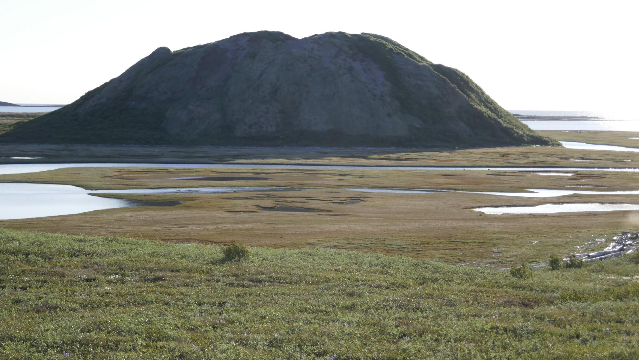
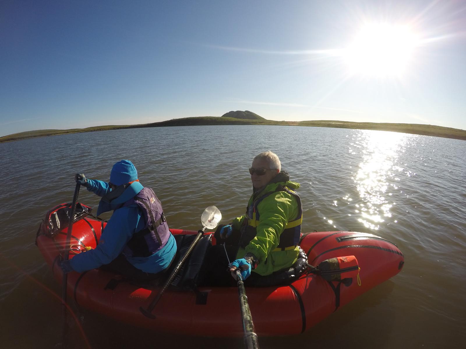
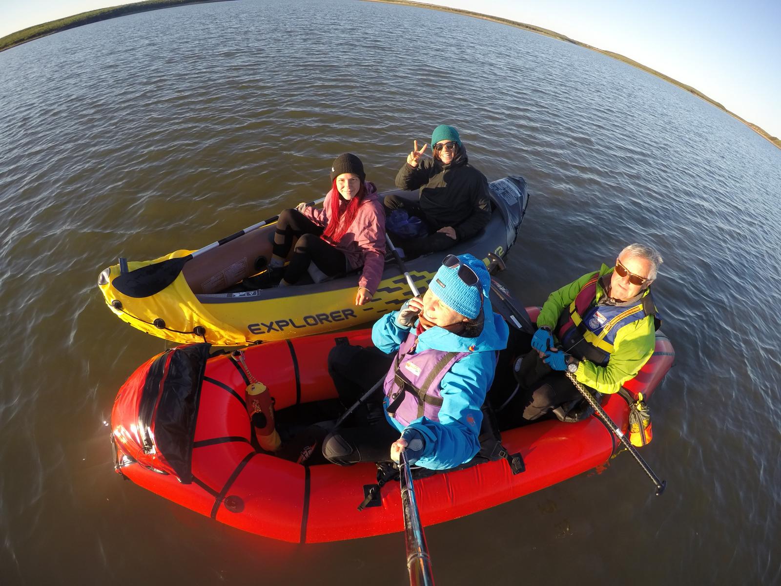
In the area of Tuktoyaktuk there exists a considerable number of pingos. This arctic phenomenon is actually an ice cone which slowly grows by water influx and lifts the thin layer of soil. The pingos near Tuk can only be reached by boat. We made this trip around mid-night together with Marco and Julia, a young German couple.
Im Gebiet von Tuktoyaktuk existieren mehrere Pingos (bis zu 20 m hohe Eis Hügel). Diese Naturerscheinungen sind eigentlich Eis Kegel, der durch nachfließendes Wasser langsam nach oben wachsen und die dünne Vegetations-Schicht in die Höhe drücken. Die abgebildeten Pingos können nur per Boot erreicht werden. Wir unternahmen die Bootsfahrt um Mitternacht zusammen mit Marco und Julia, einem jungen Paar aus Deutschland.

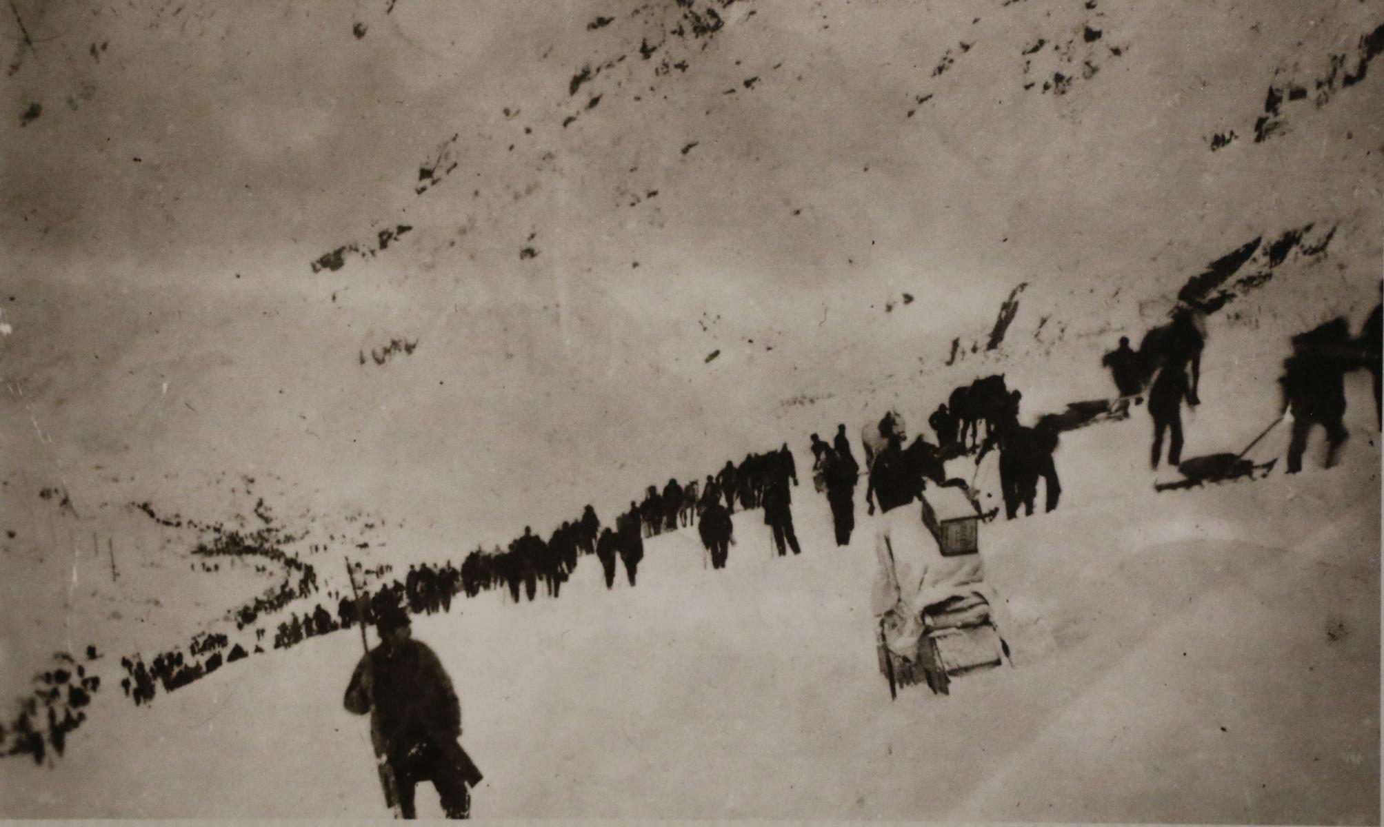
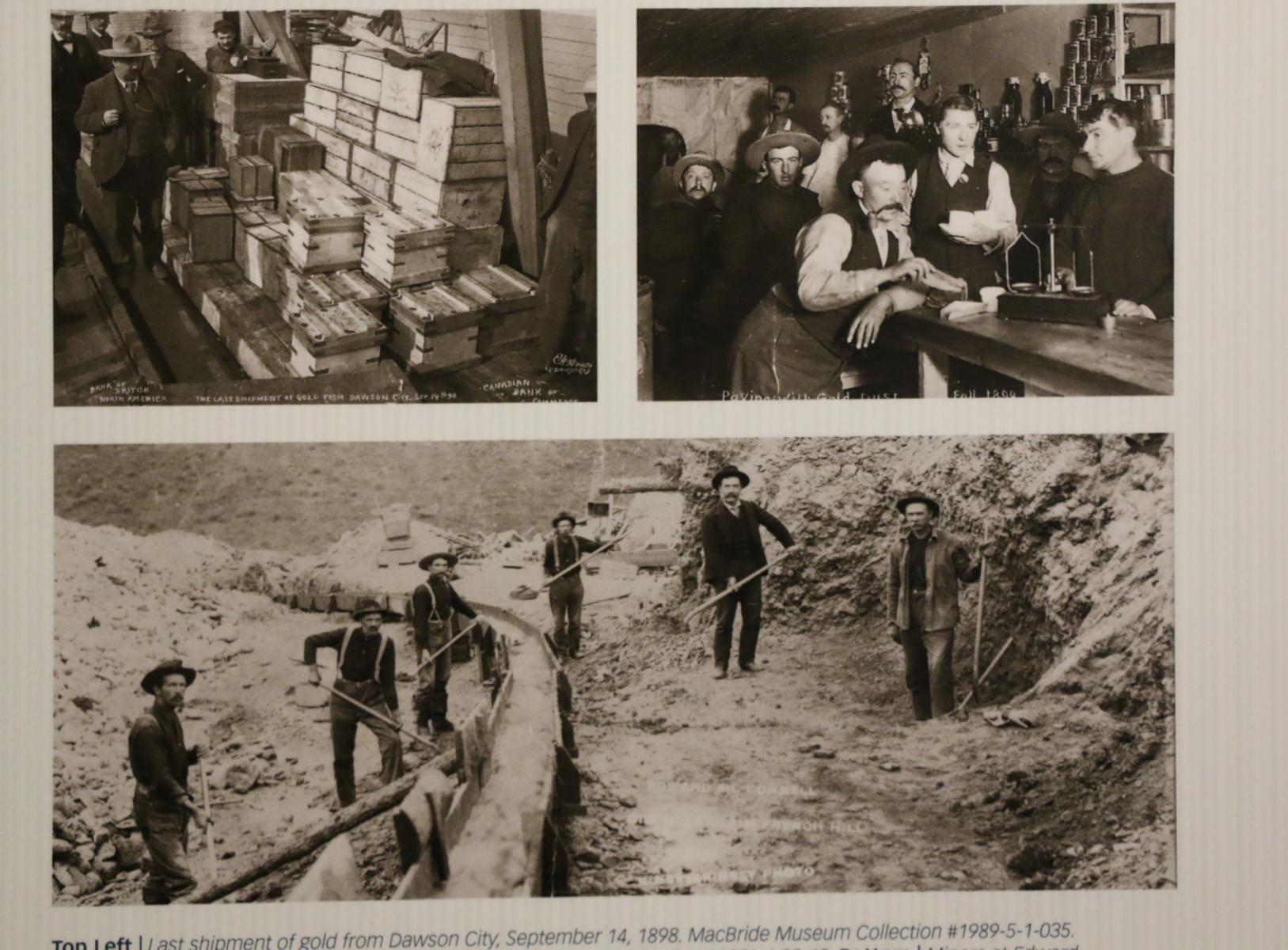
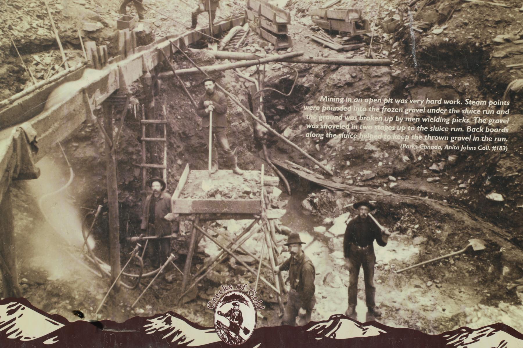
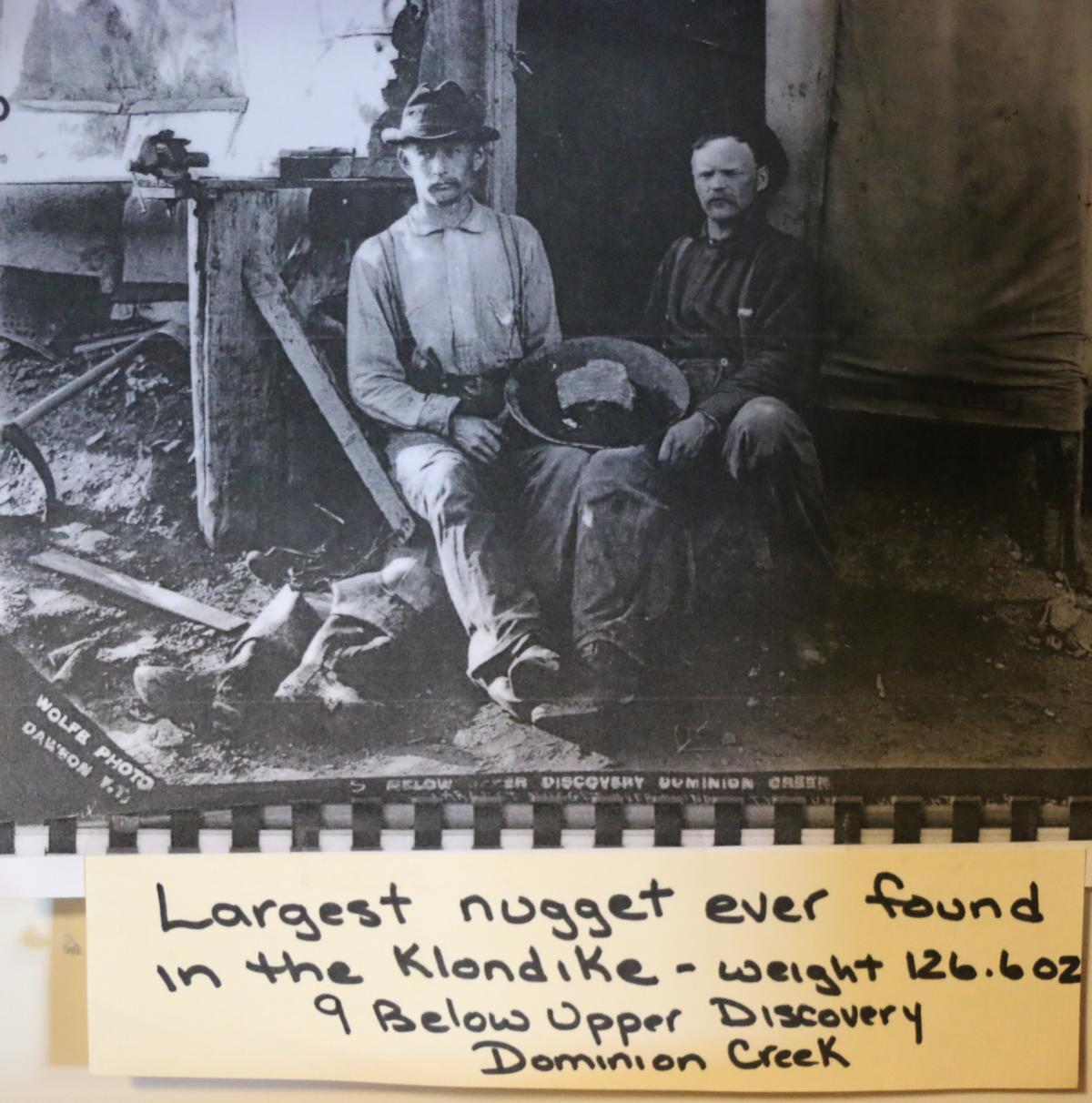
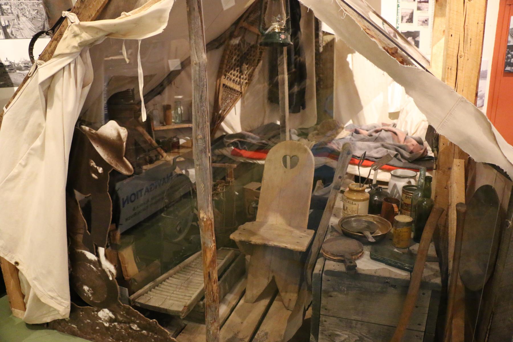
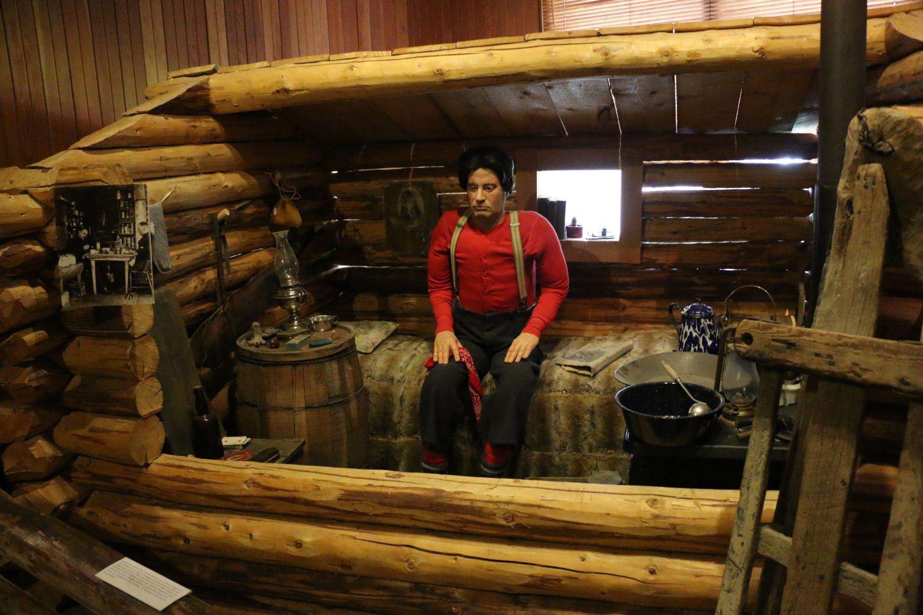
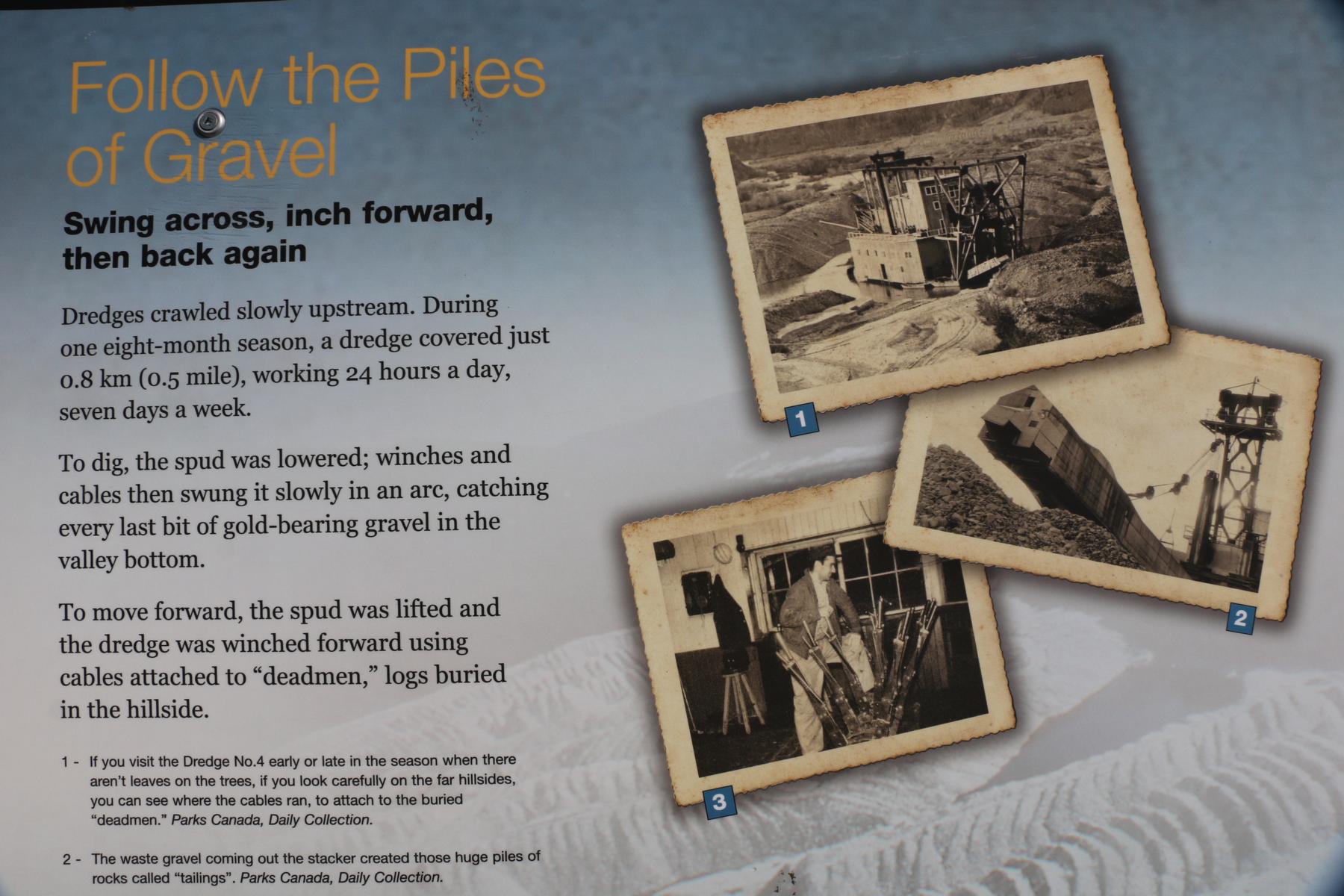
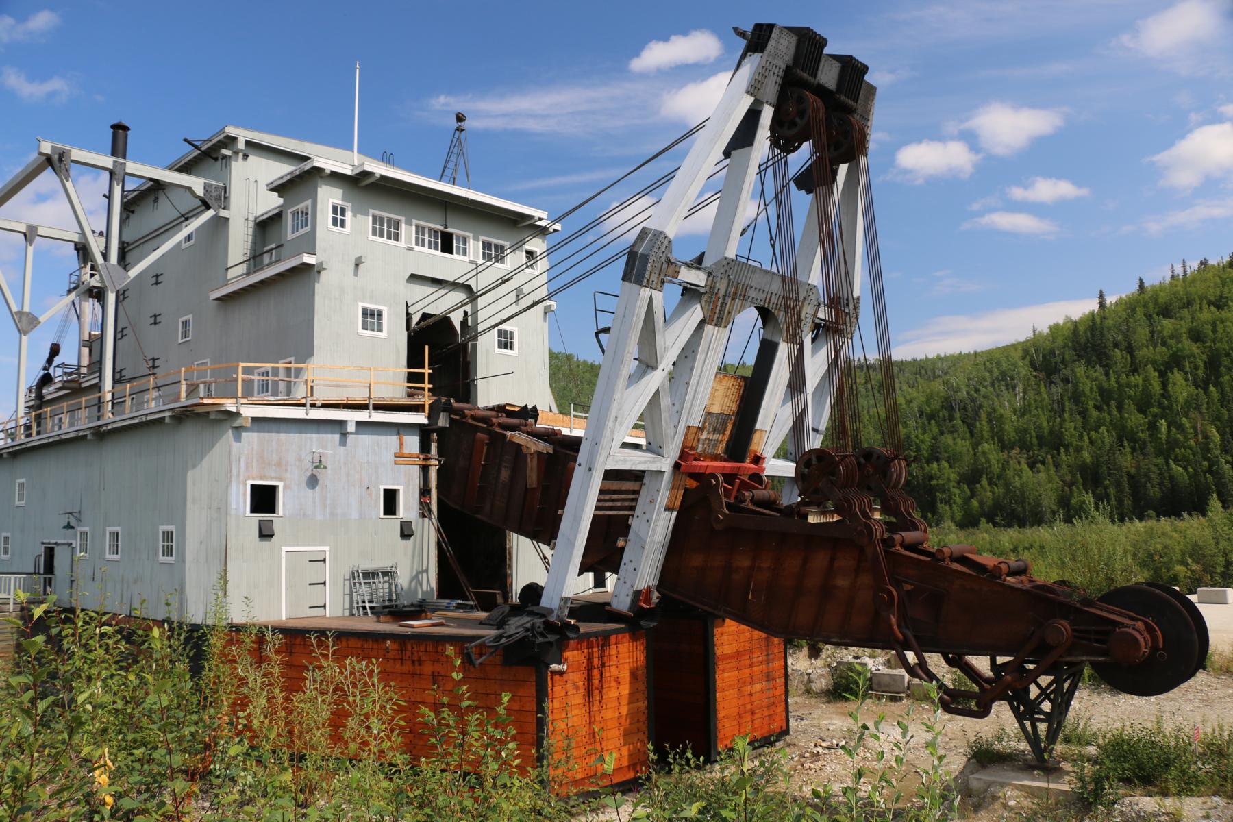
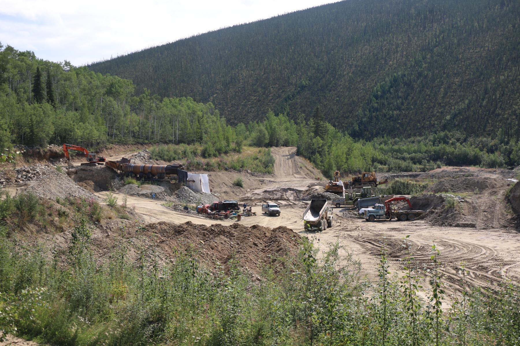
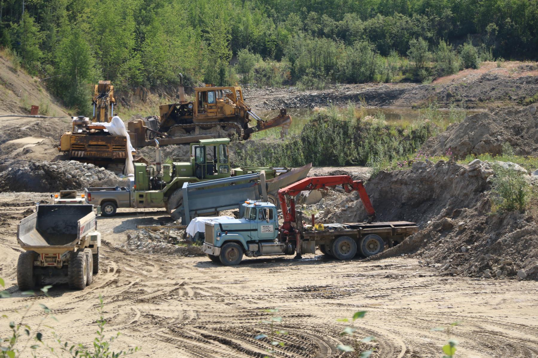
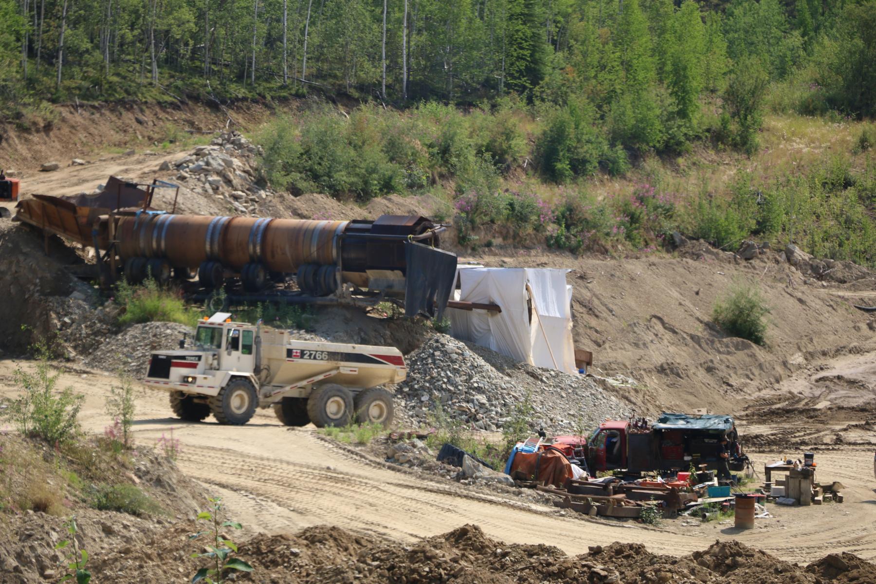
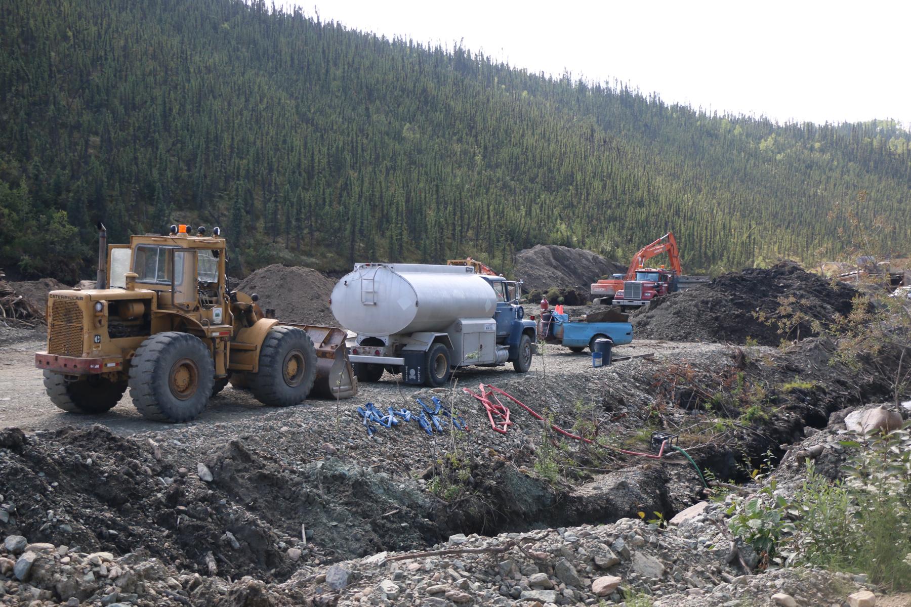
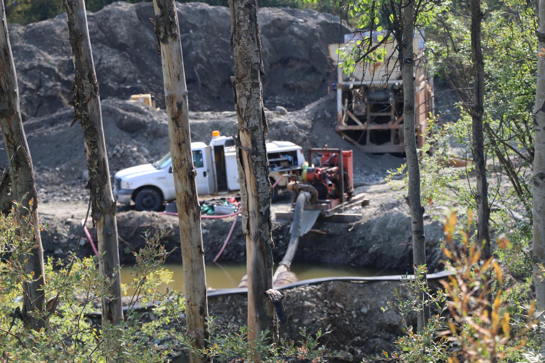
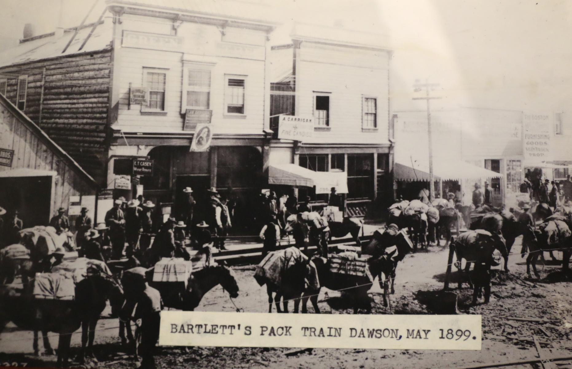
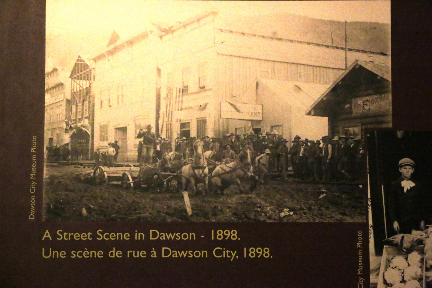
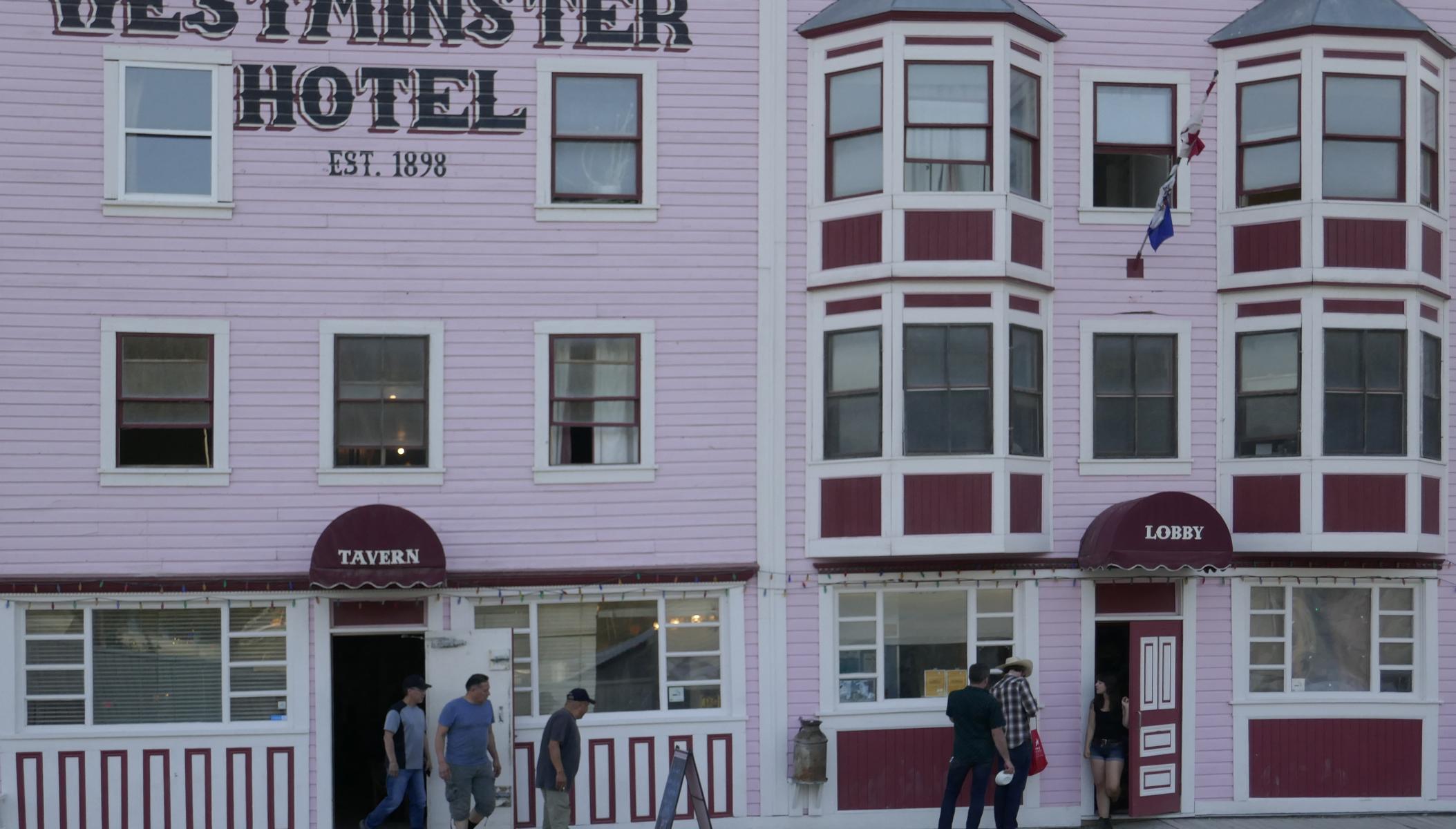
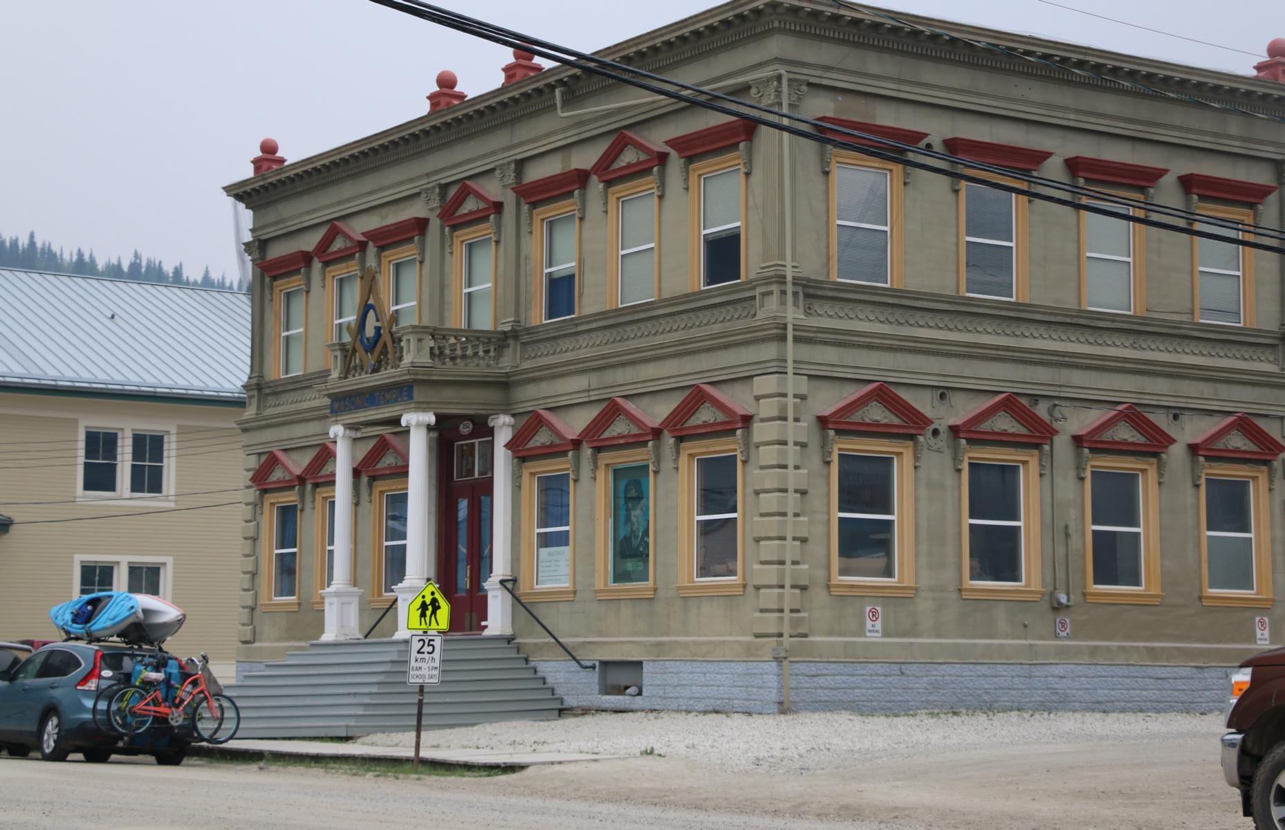
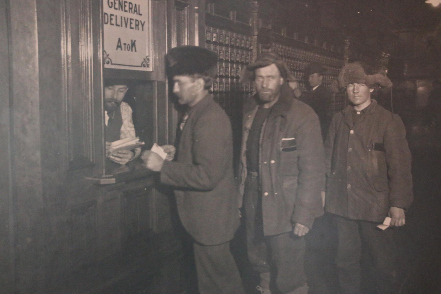
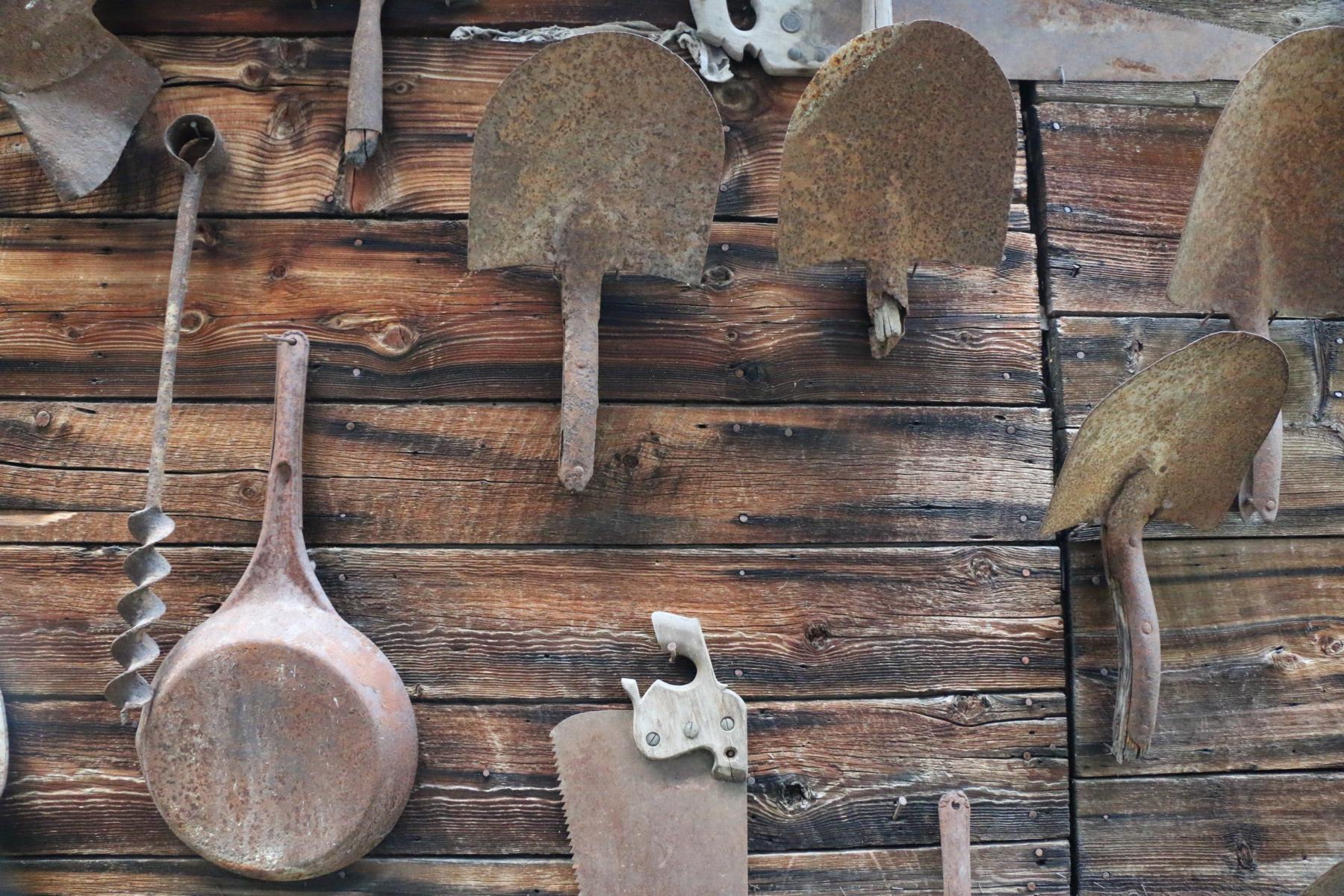
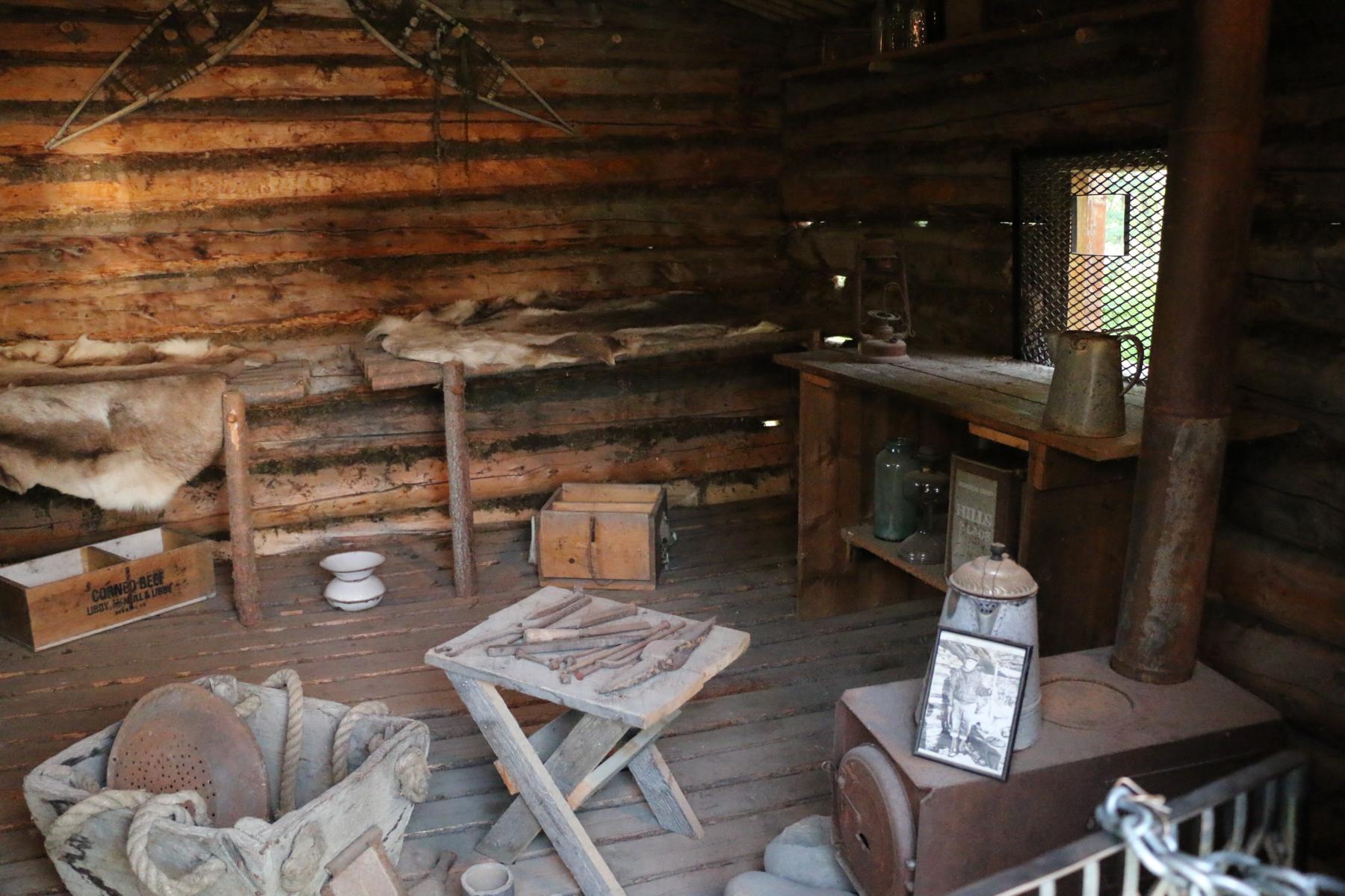
End of June we left Tuk and drove 600 km south in order to paddle for two weeks the Blackstone and the Ogilvie River (see the related blog via this link). We then hurried back to the Klondike Highway and spent a few days in Dawson City to recover from the exertions. Dawson City was founded in 1897 at the beginning of the Klondike Gold Rush when ten-thousands from all over the world poured into this region in the search of gold after large deposits had been detected in the nearby creeks. After the surface gold had been collected the challenge was to dig through the permafrost to access the gold buried in the gravel and above the rock bed. Only few got rich but many had to endure indescribable hardship. From the beginning of the 20th century until 1966 several large dredges were digging through the gravel. Due to the high gold price today there still are some placer mining operations conducted.
Ende Juni verließen wir Tuk und fuhren 600 km in den Süden um den zwei Wochen lang den Blackstone und den Ogilvie River zu paddeln (siehe den Blog dazu via diesen Link). Anschließend reisten wir zurück zum Klondike Highway und weiter nach Dawson City, um uns von den Strapazen zu erholen. Dawson City war 1897 im Zuge des Klondike Goldrausches gegründet worden, bei dem zehn-tausende Menschen aus allen Teilen der Welt in diese Region kamen, als in den umliegenden Bächen große Goldvorkommen gefunden wurden. Nachdem das Gold an der Oberfläche eingesammelt war bestand die besondere Herausforderung durch den Permafrostboden in die Tiefe zu graben, um an das Gold zu gelangen, das sich im Schotter und auf dem gewachsenen Felsboden befand. Nur wenige wurden wirklich reich, aber viel mussten unbeschreiblich Entbehrungen durchleiden. Von Beginn des 20. Jh. an bis 1966 wurden große Bagger-Einheiten eingesetzt, um den Schotter zu durchwühlen. Auf Grund des heute sehr hohen Goldpreises findet im beschränkten Umfang noch immer noch Goldschürfen im Tagebau statt.
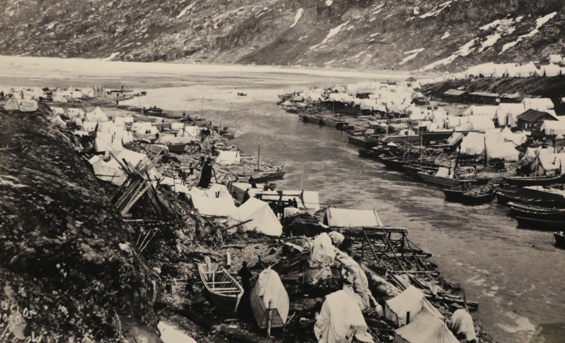
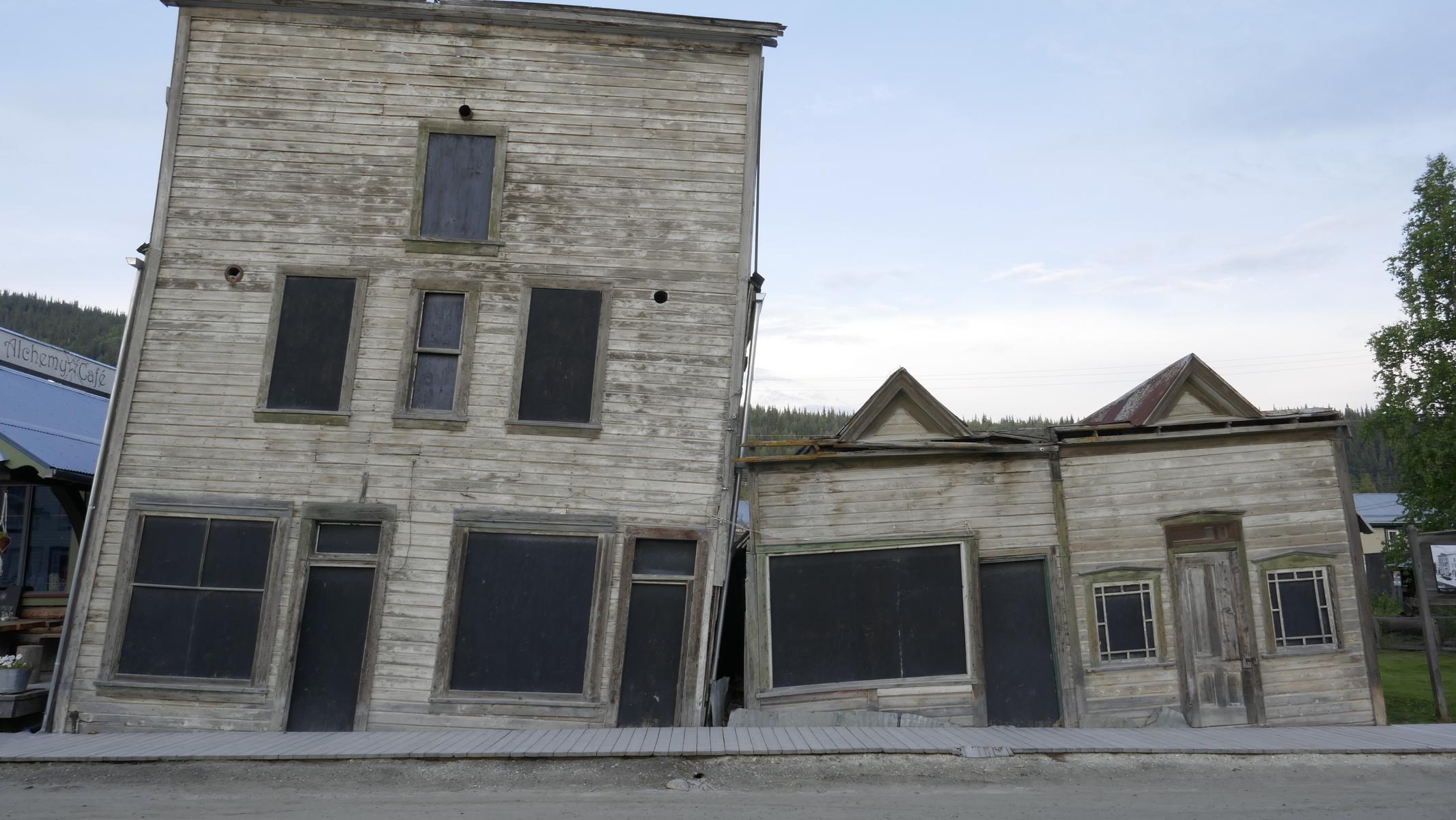
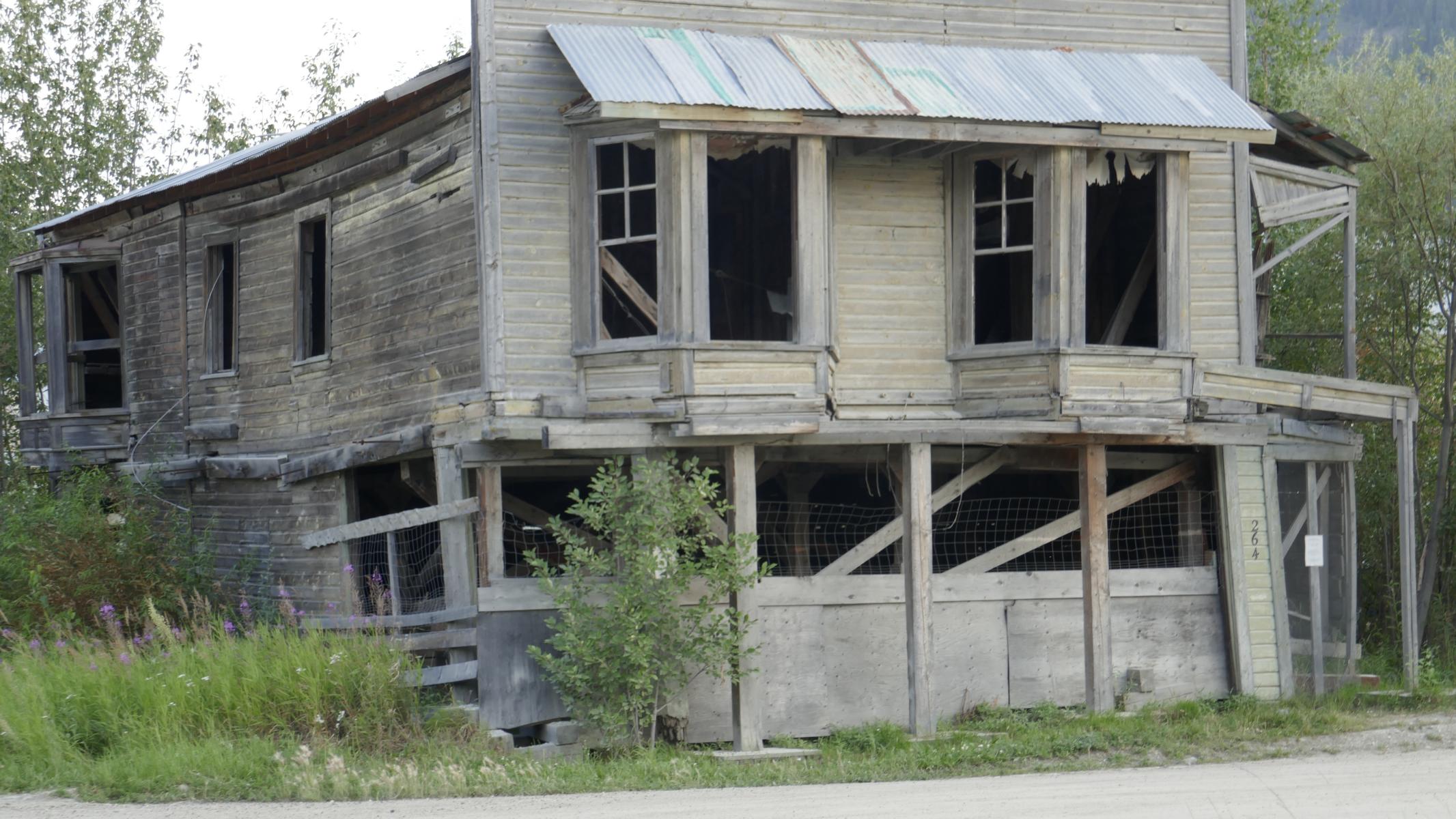
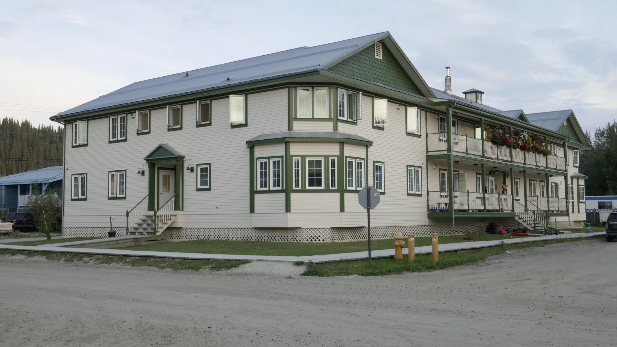
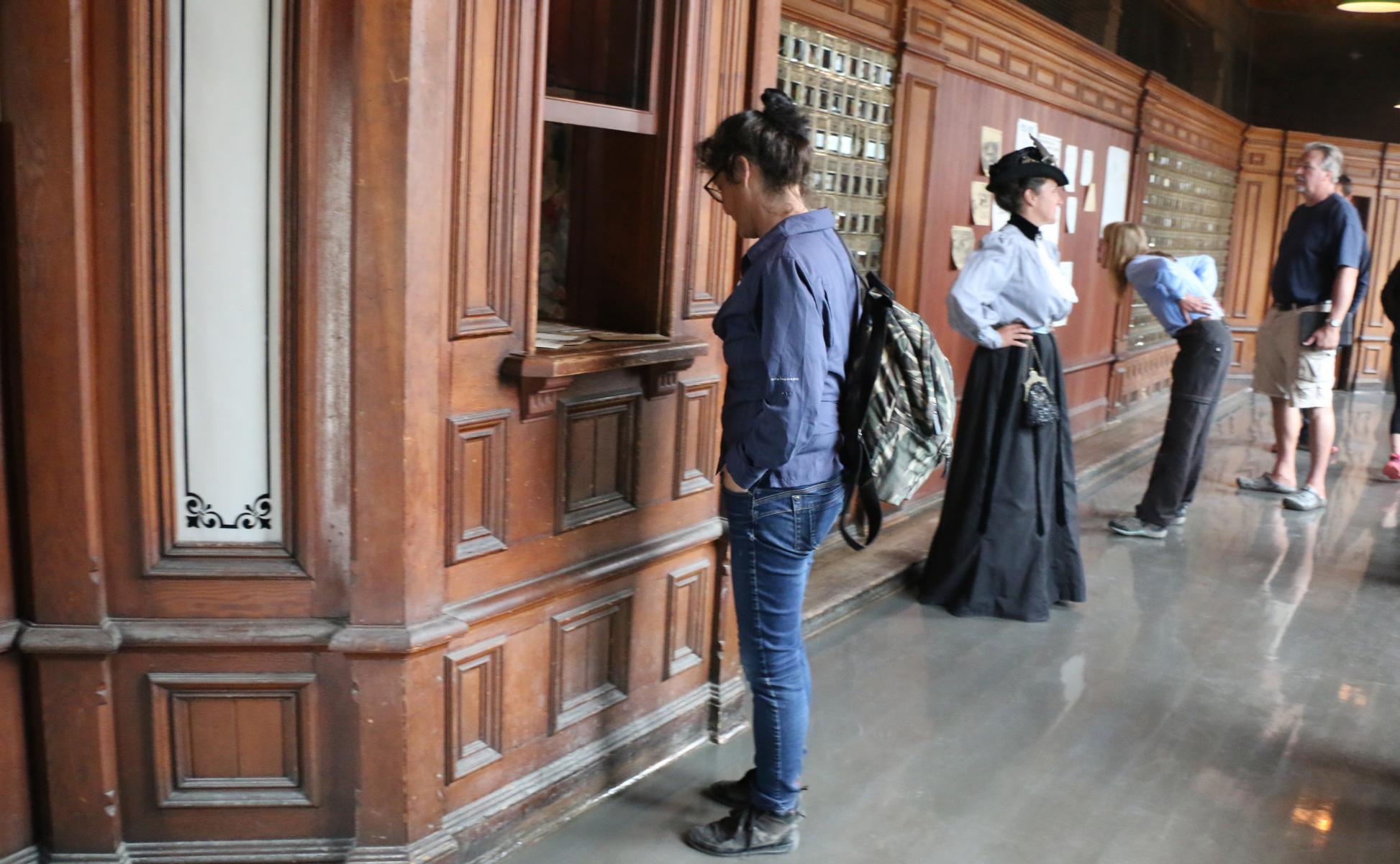
The gold rush made it possible that Dawson City within two years developed from a chaotic tent camp in a swampy area to the “Paris of the North”. Today tourism is Dawson’s second economic leg and Parks Canada (https://www.pc.gc.ca/en/index ) conducts a comprehensive program to rehabilitate and restore the old buildings.
Der Goldrausch machte es möglich, dass Dawson City sich binnen zwei Jahren von einer chaotischen Zeltstadt auf einer sumpfigen Wiese zum „Paris des Nordens“ entwickelte. Heute bildet der Tourismus das zweite ökonomische Standbein der Stadt und Parks Canada (https://www.pc.gc.ca/en/index ) führt ein umfassendes Restaurierungsprogramm durch, um die historischen Gebäude originalgetreu wiederherzustellen.


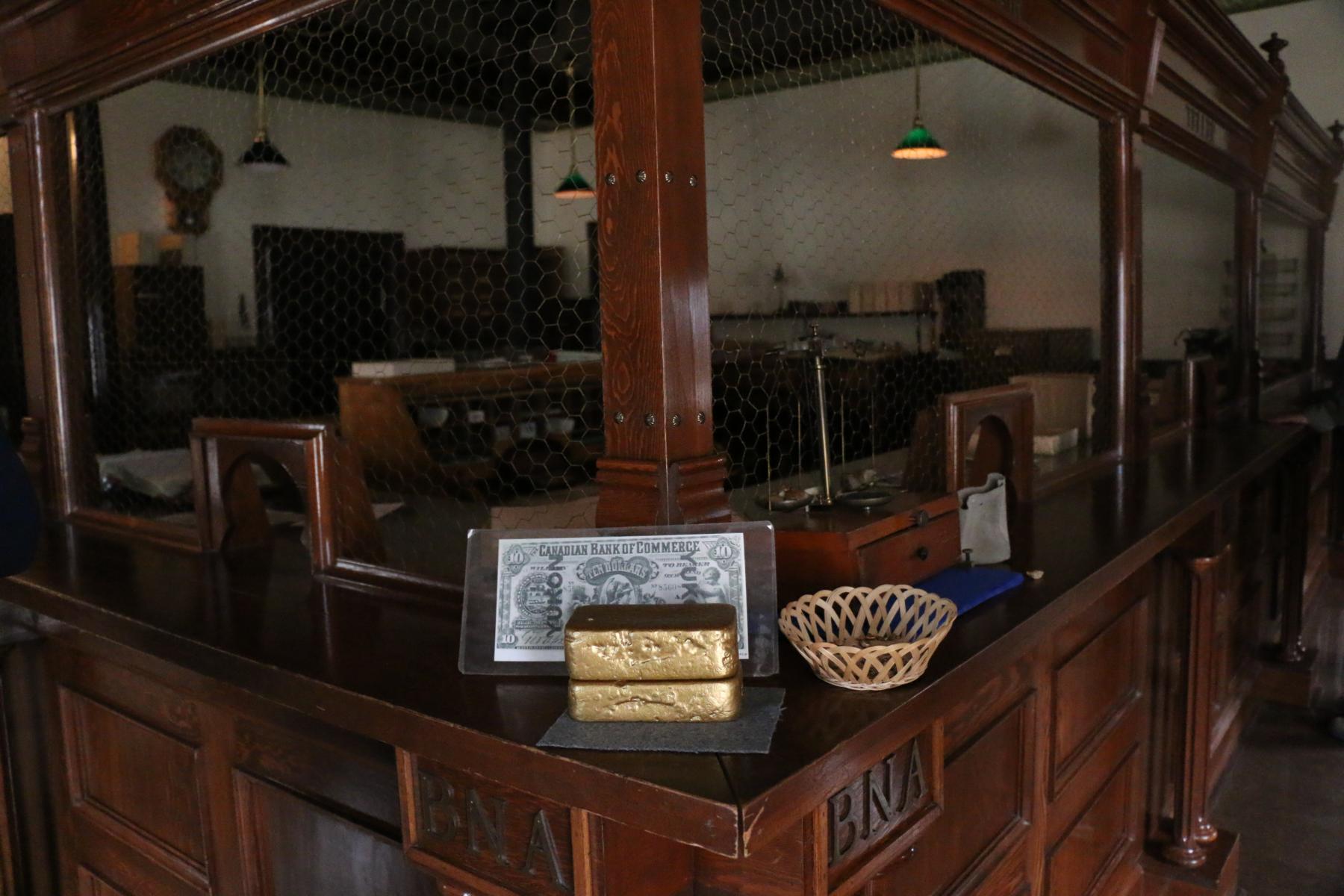
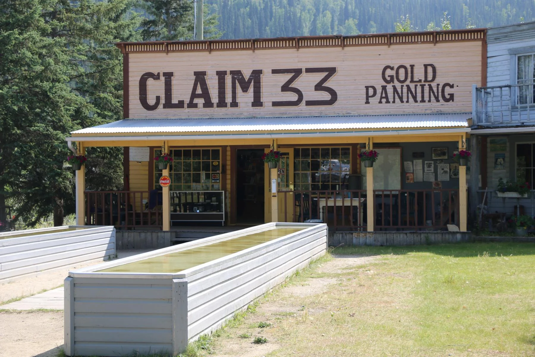
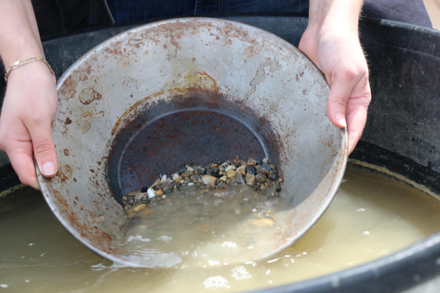
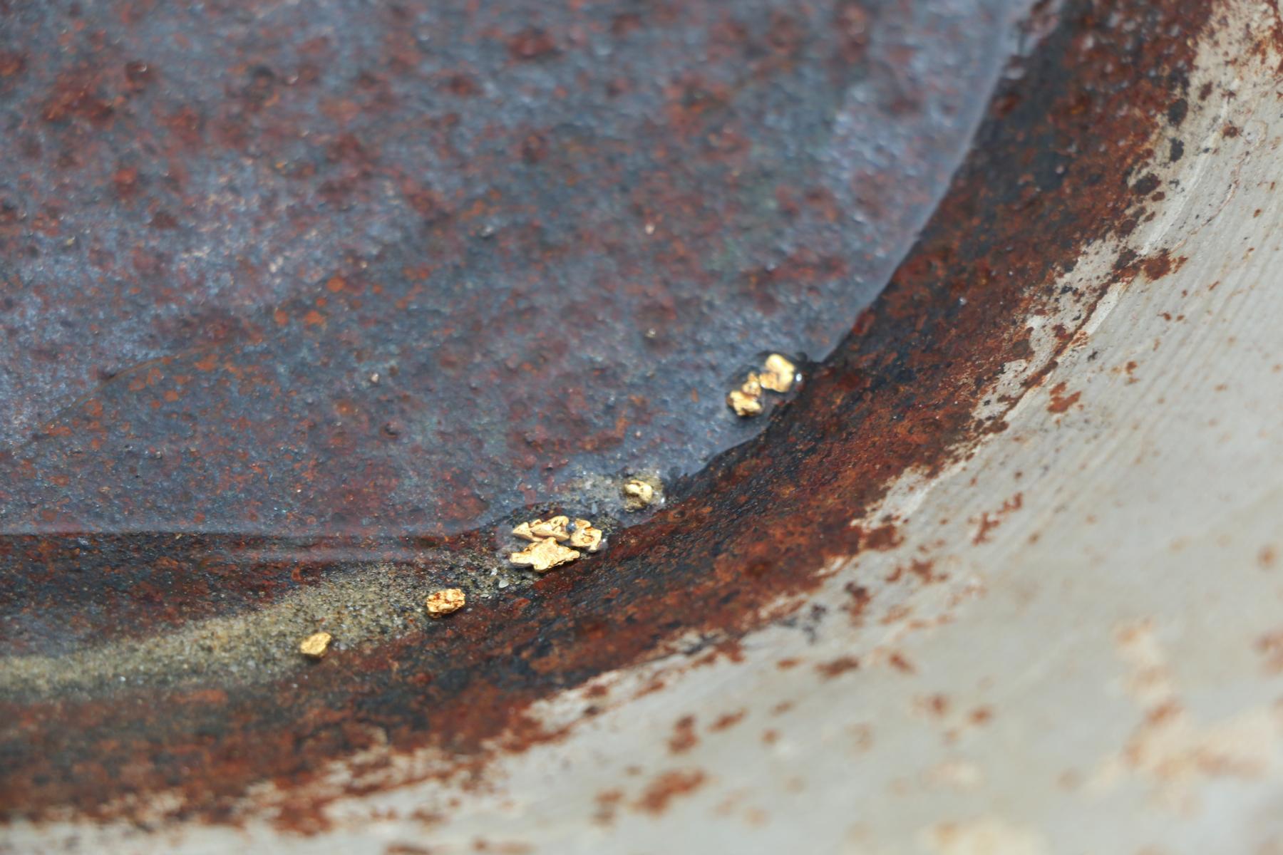
Gold panning is offered for tourists in the nearby creeks. However, you will by far not find the amount shown in this demonstration.
Touristen bietet sich die Möglichkeit das Goldwaschen auszuprobieren. Aber Achtung: Man findet bei weitem nicht so viel wie bei dieser Demonstration.
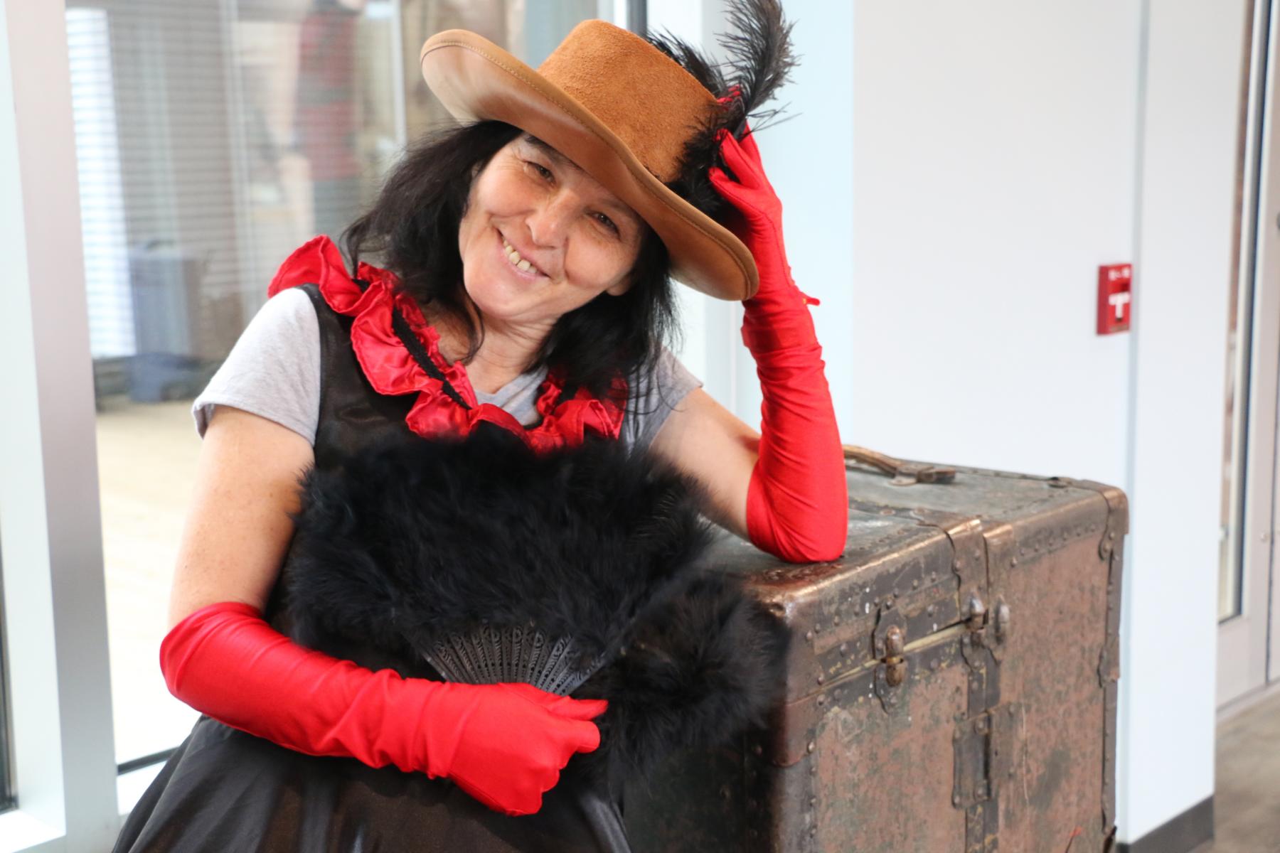
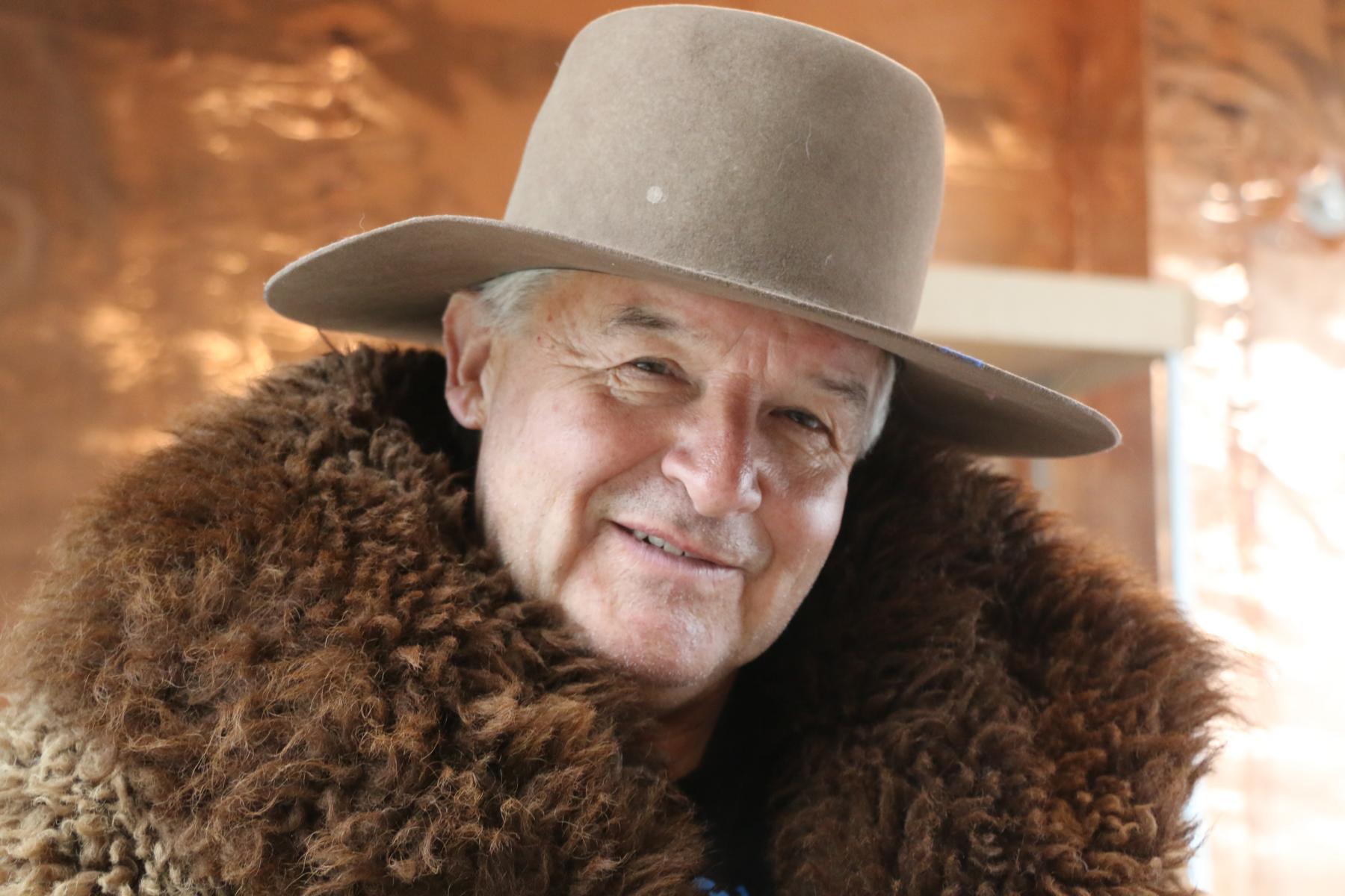
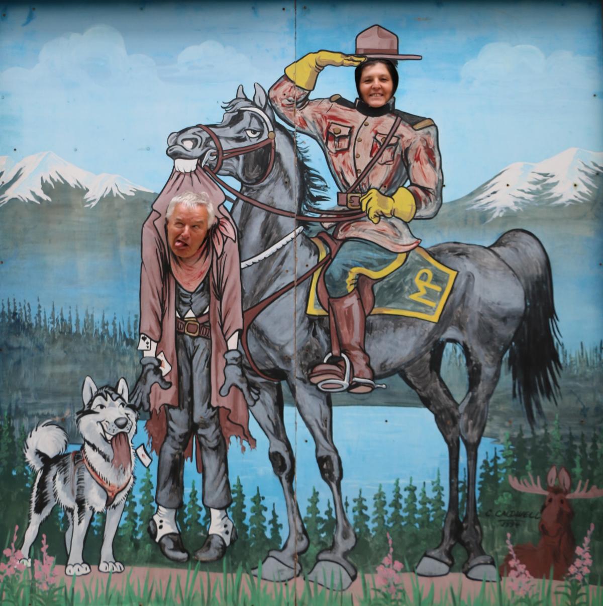
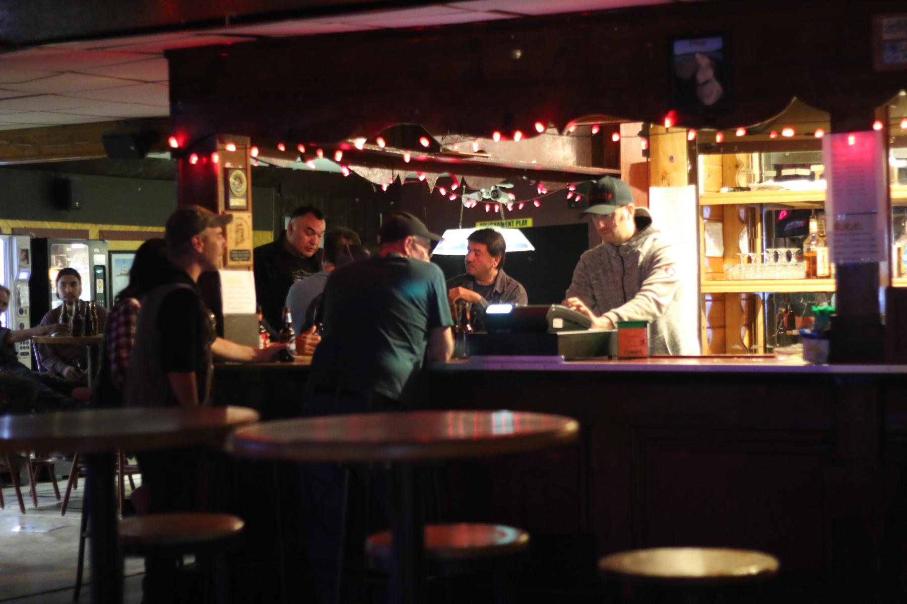
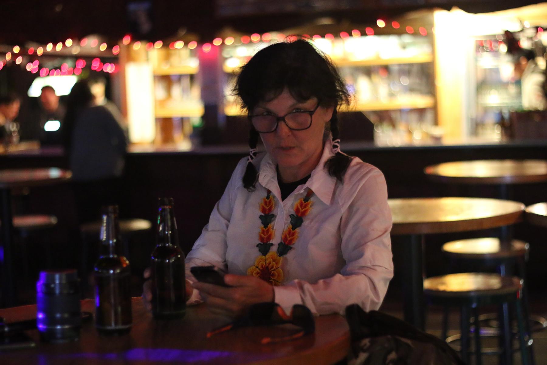
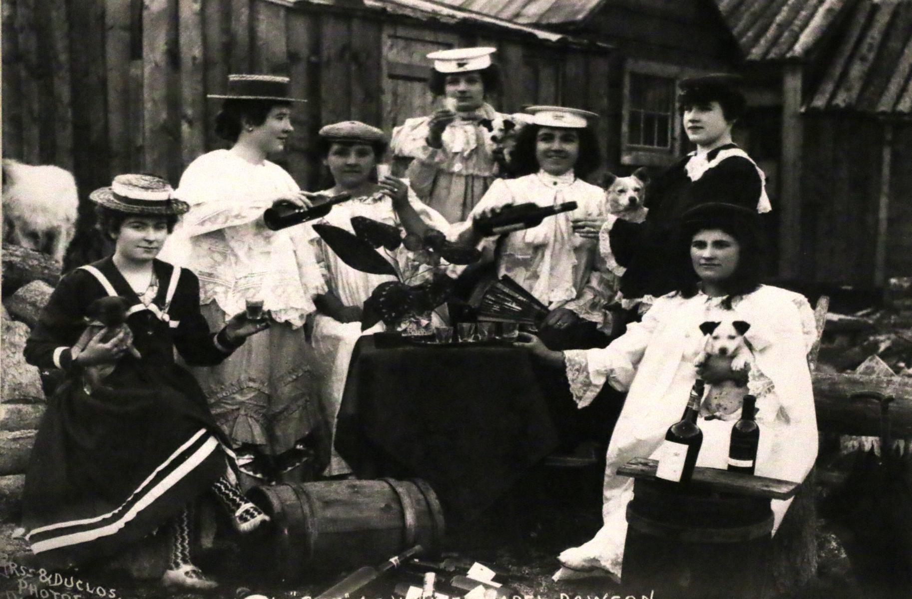
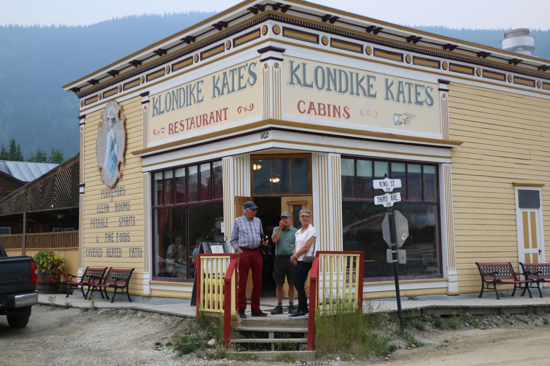
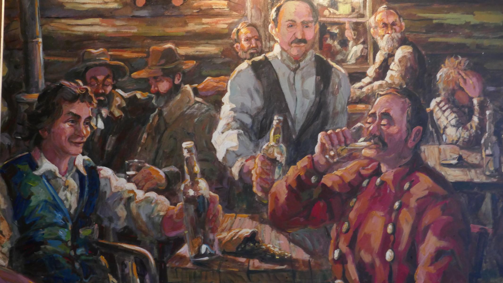
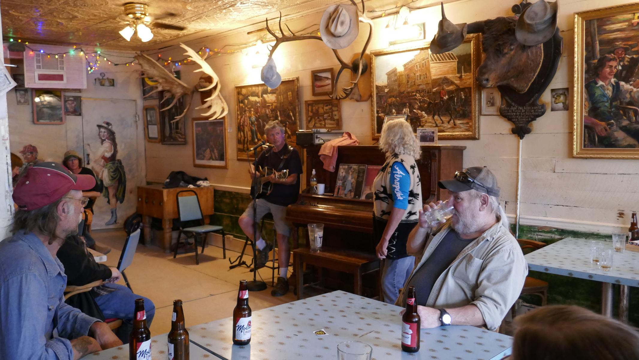
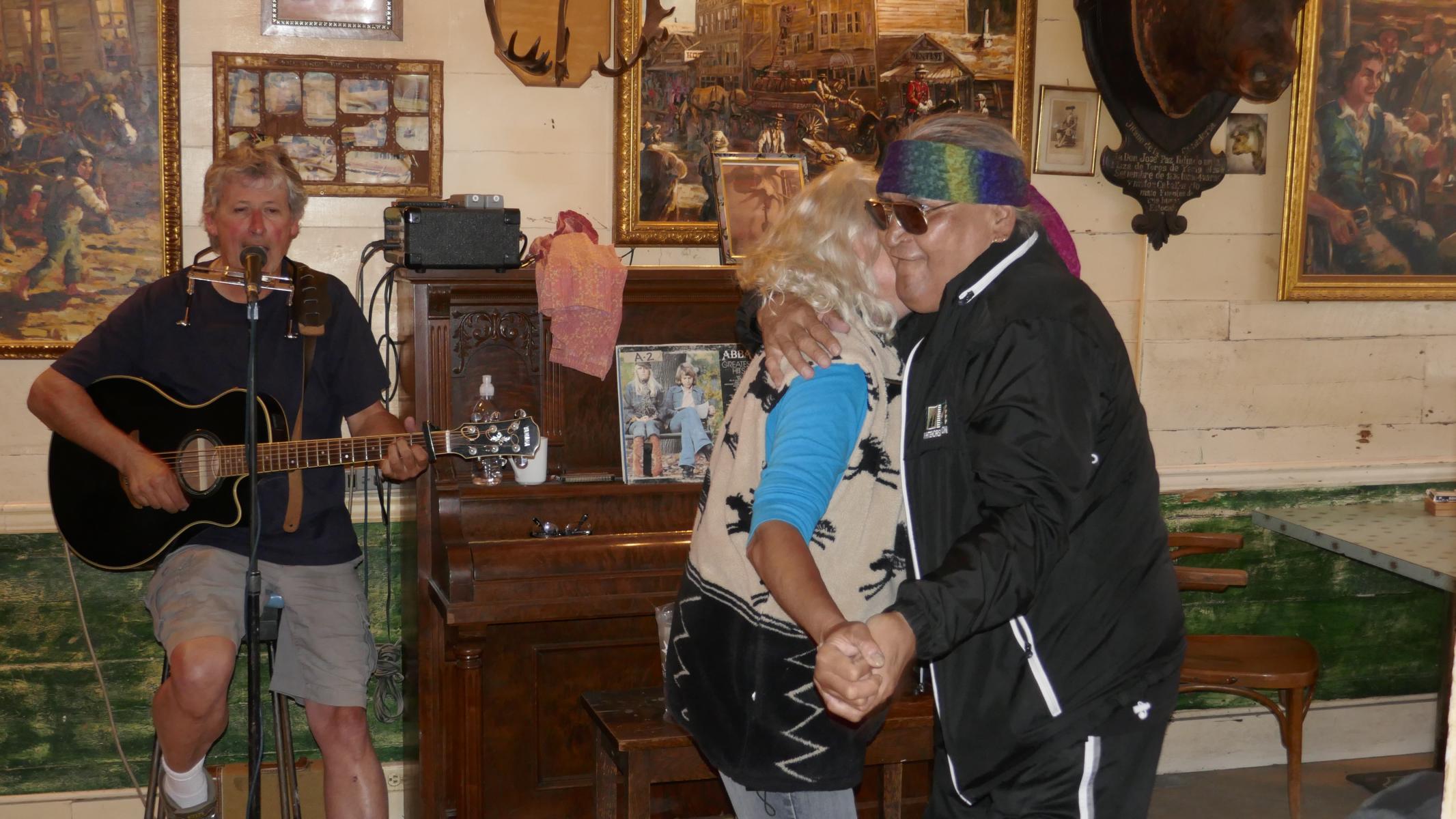
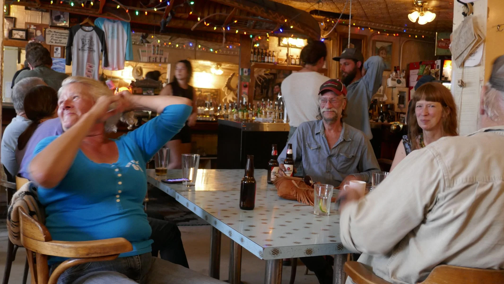
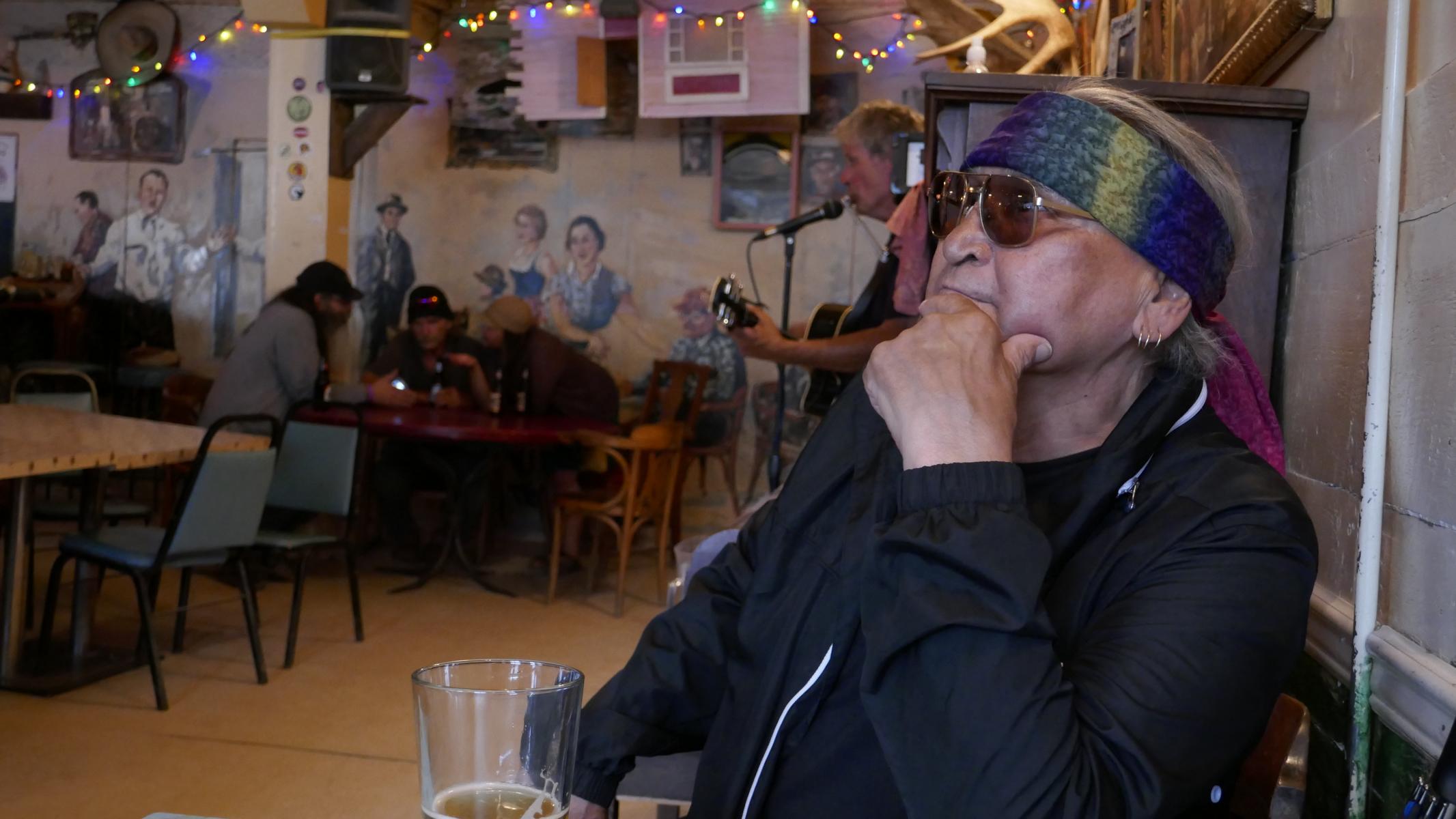
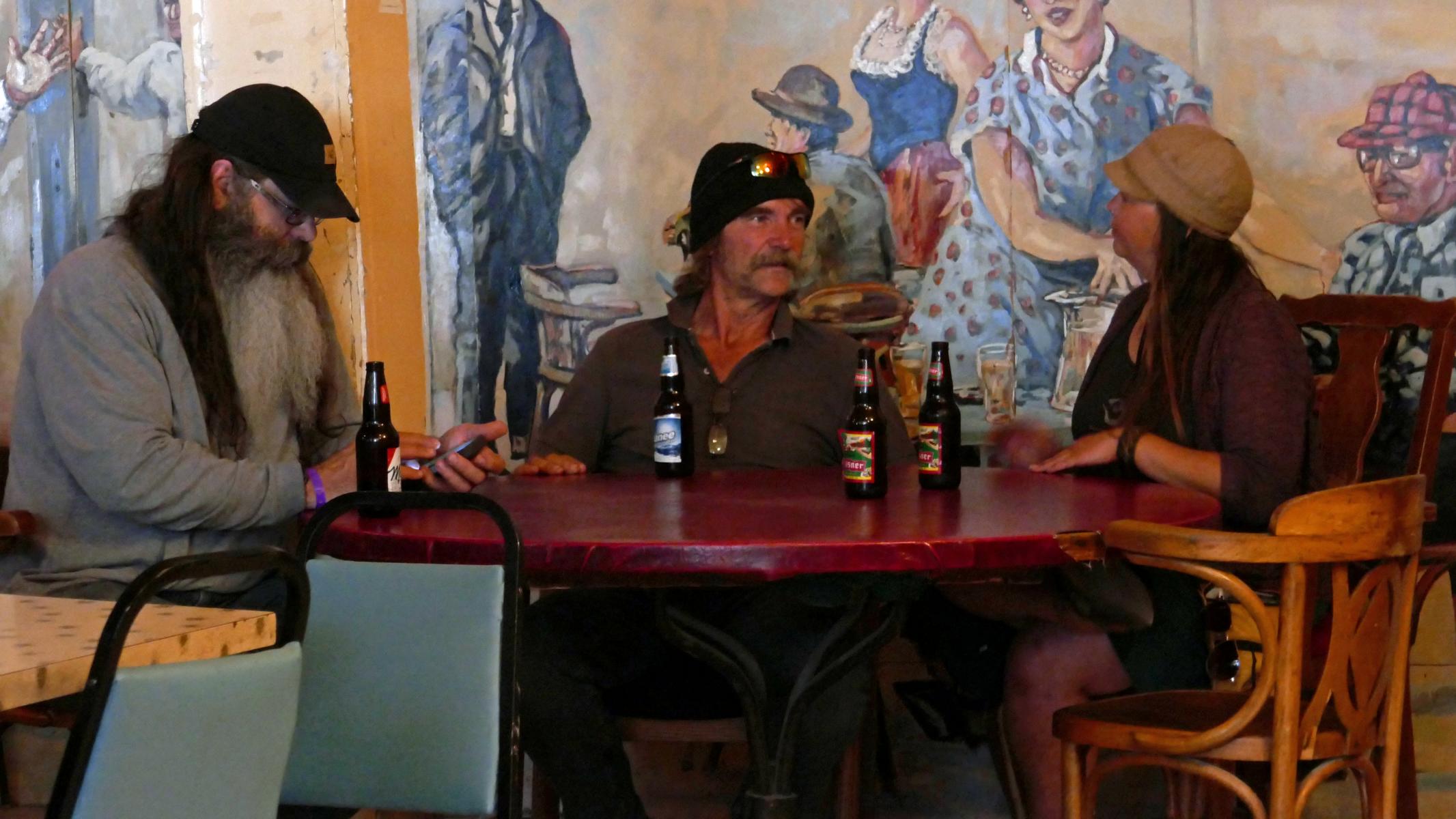
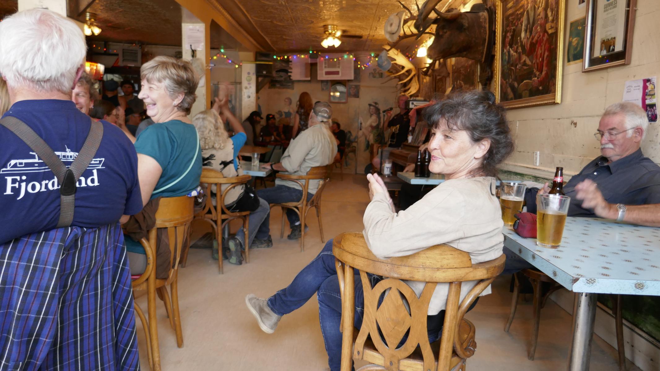
Now the question: Off the beaten tracks, can one still find the old Klondike-spirit in Dawson? The answer: If you visit the right bars, then yes 😊!
Nun die Frage: Kann man in Dawson – abseits der Tourismuspfade - noch den alten Klondike-Geist finden? Scheinbar schon, man muss nur die richtigen Bars aufsuchen 😊!
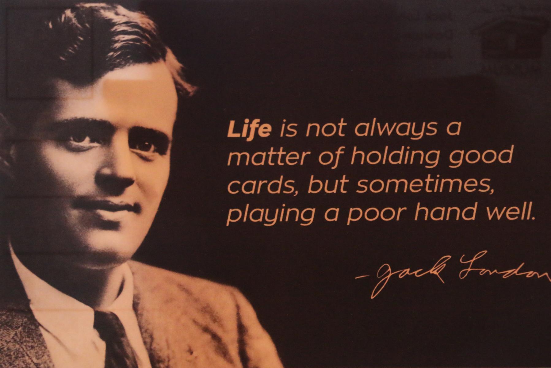
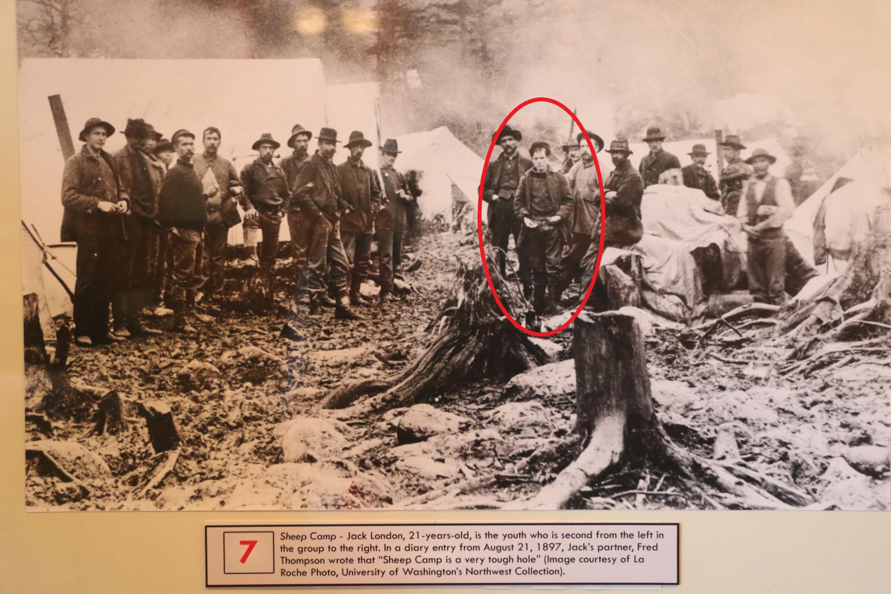
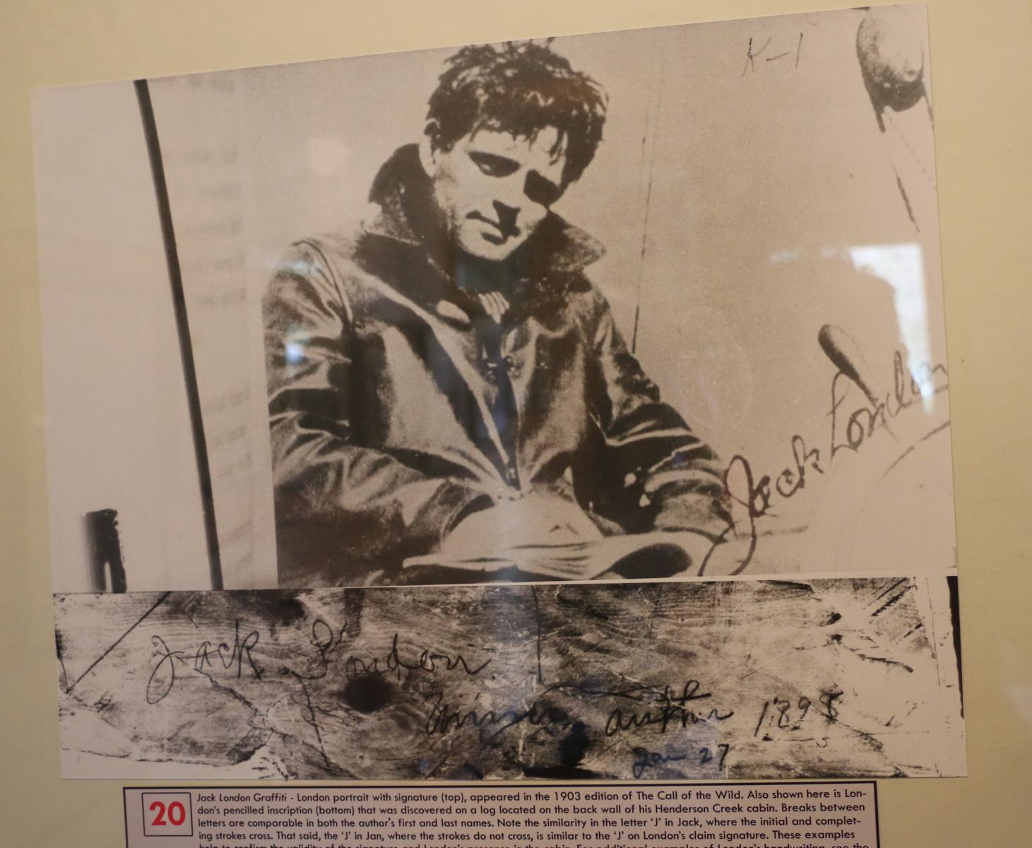
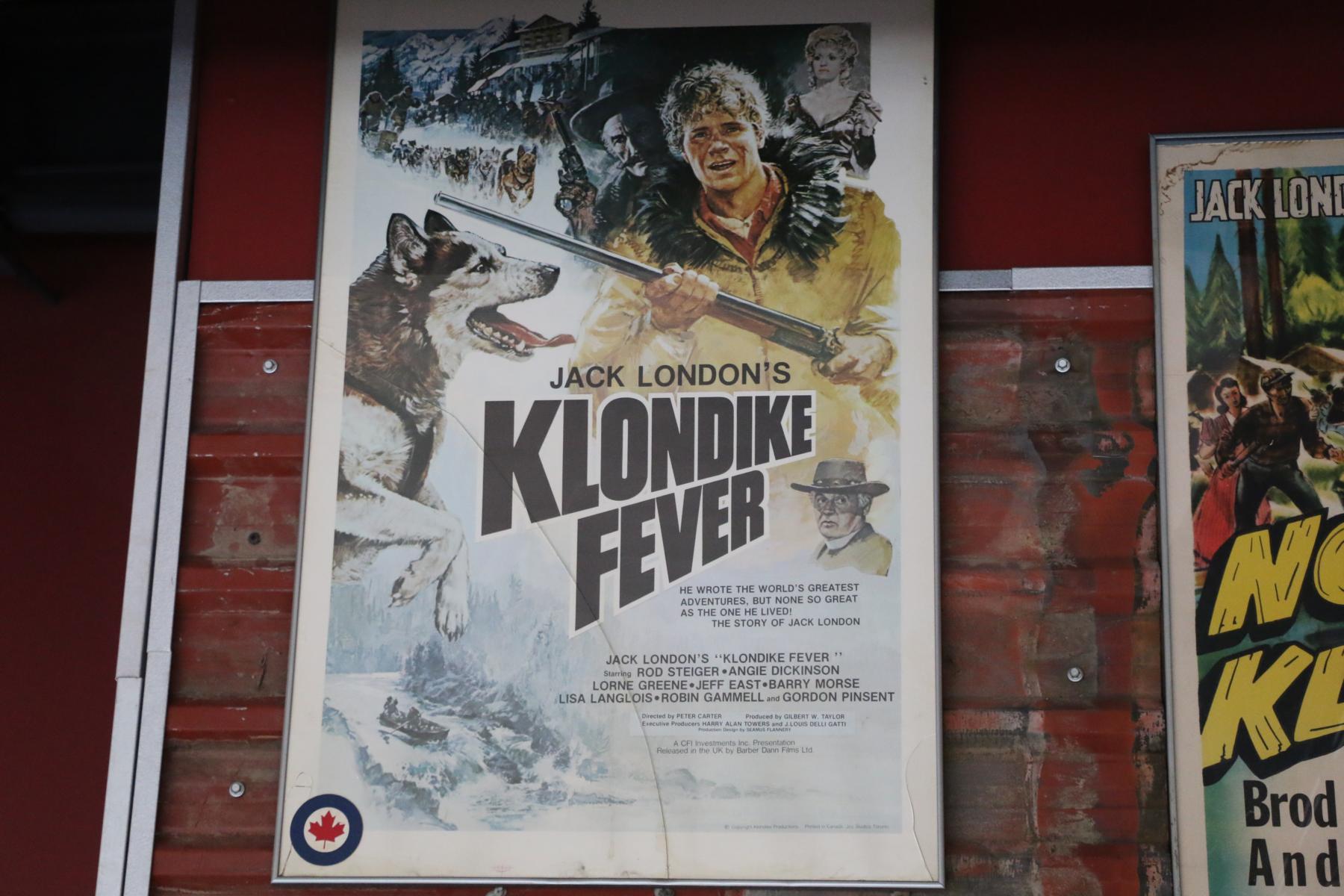
One of the people who undertook the hazardous journey over the Chilkoot Pass was the American Jack London (1876-1916). Although he did not succeed finding gold, he later became a world-renown author and social activist. His dramatic experiences of 1897/8 built the background for some of his most-famous books, e.g. The Call of the Wild (1903) and White Fang (1906).
Einer der Männer, die die beschwerliche Reise über den Chilkoot Pass unternahmen, war der Amerikaner Jack London (1876-1916). Er fand zwar kein Gold, wurde aber später als Autor und sozialer Aktivist weltberühmt. Die dramatischen Erfahrungen von 1897/8 bildet den Hintergrund einiger seiner bekanntesten Werke, wie z.B. Ruf der Wildnis (1903) und Wolfsblut (1906).
Another incredible coincident: When lining up for a Dawson historic city tour I run into a former colleague of mine with whom I worked for UNDP in Kabul Afghanistan. Pawan Bhardwaj is now working for Parks Canada as a Human Resources Manager. You can imagine how surprised we both were to meet each other in Dawson as we had not heard of each other since 2014.
Ein weiterer unglaublicher Zufall: Als wir uns in Dawson City für eine historische City-Tour anstellten traf ich plötzlich auf einen ehemaligen Kollegen, mit dem ich 2014 für UNDP in Kabul / Afghanistan arbeitete. Pawan Bhardwaj arbeitet jetzt als Human Resources Manager für Parks Canada. Ihr könnt euch vorstellen, wie überrascht wir beide waren, als wir uns gegenüberstanden, nachdem wir seit 2014 keinen Kontakt mehr gehabt hatten.

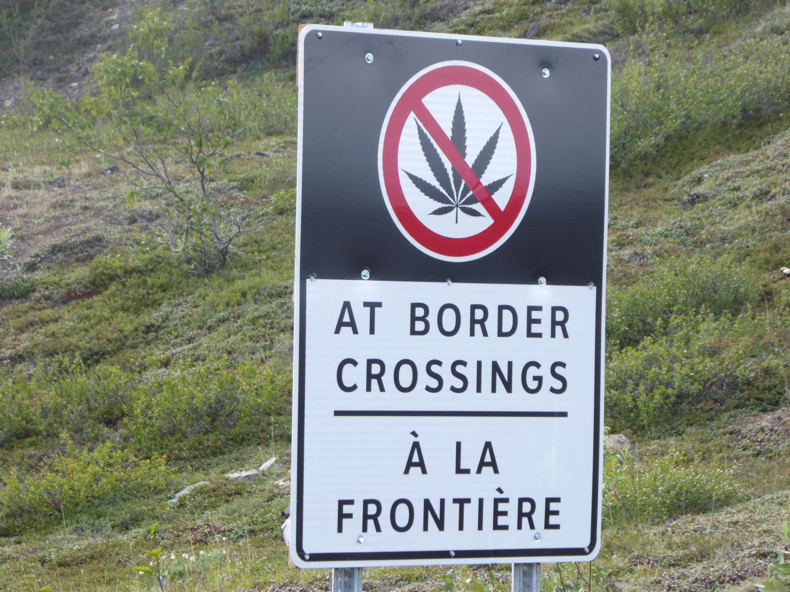
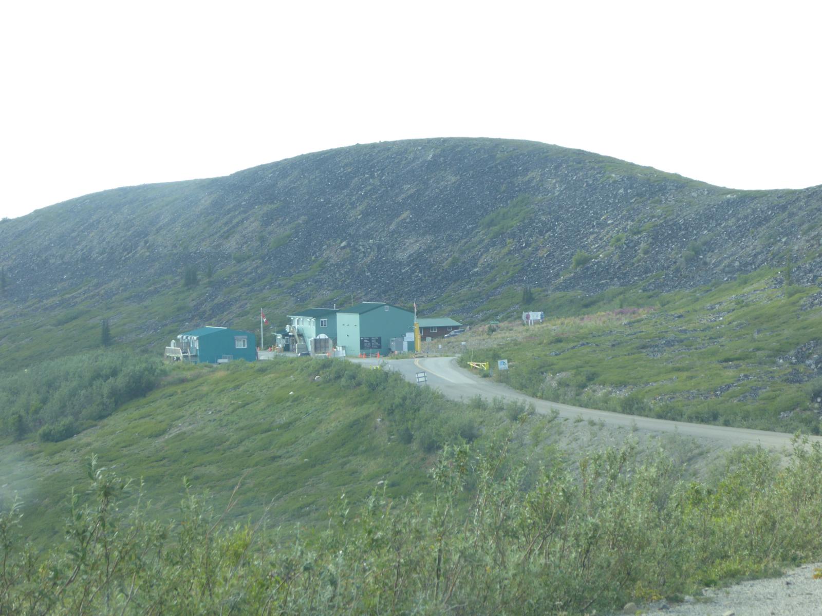
Eventually in mid-July we left Dawson City and headed towards Alaska following the Top-of-the-World Highway. At the border crossing there is a funny situation: Marihuana/Cannabis is legal both in Canada as well as in Alaska. However, US federal law still bans it and a dedicated sign warns travelers that you cannot take Cannabis across the border. Locals told us that they normally burry their left-over pot before crossing the border and pick it up again on the way back.
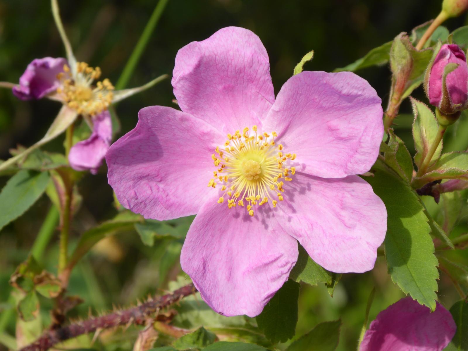
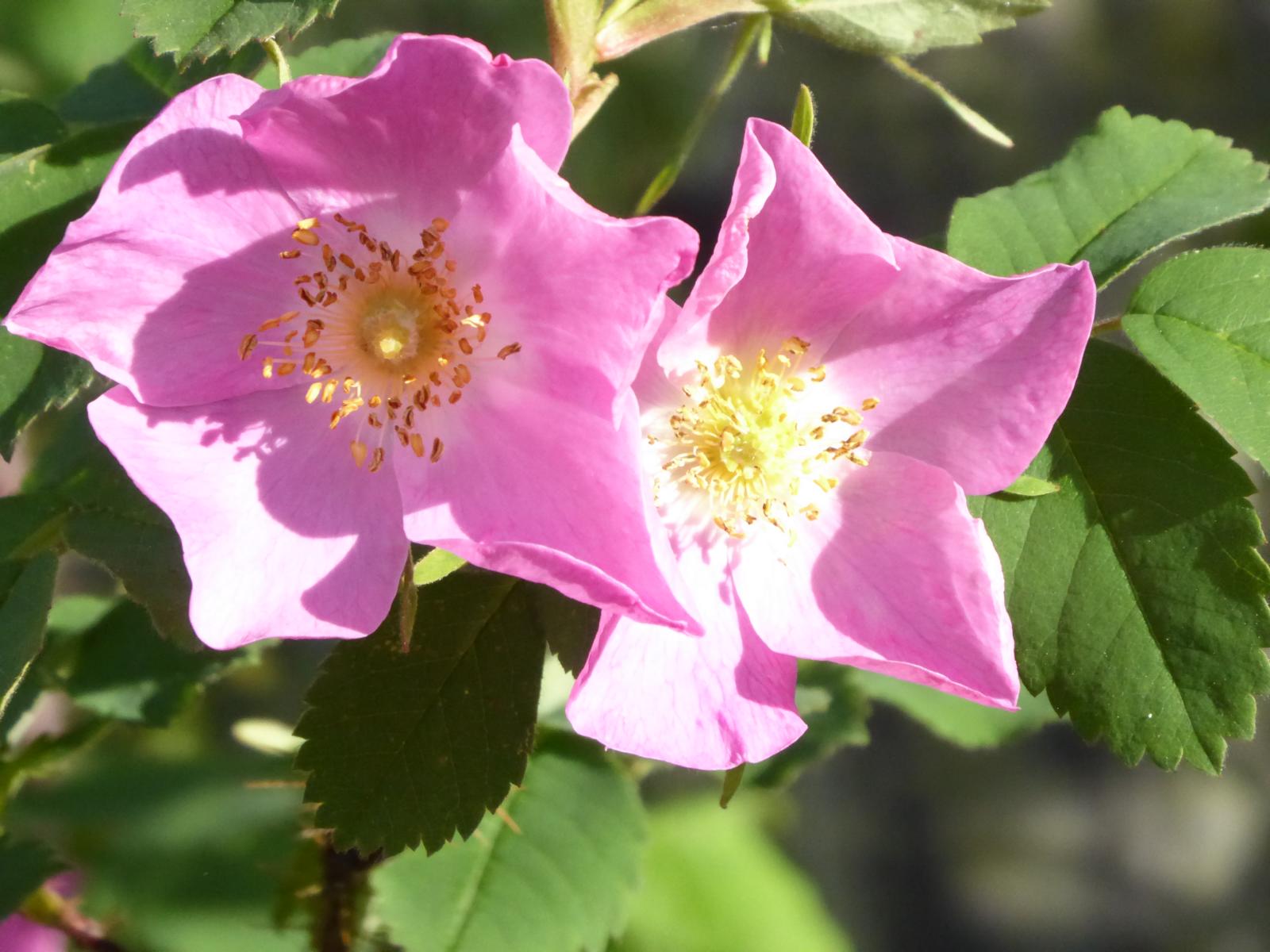
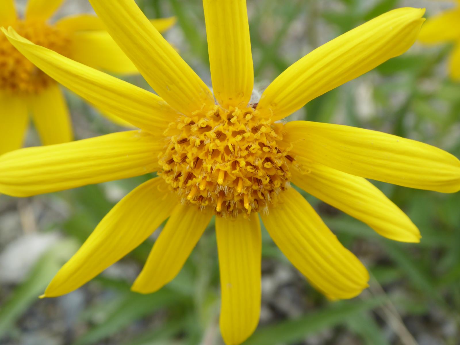
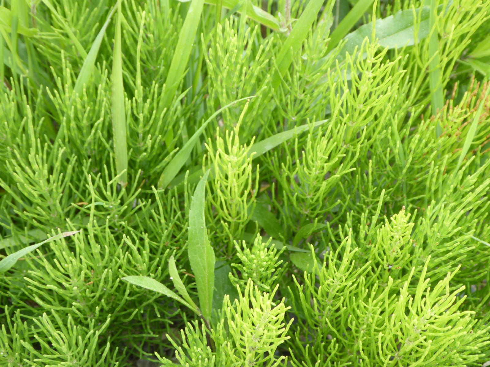
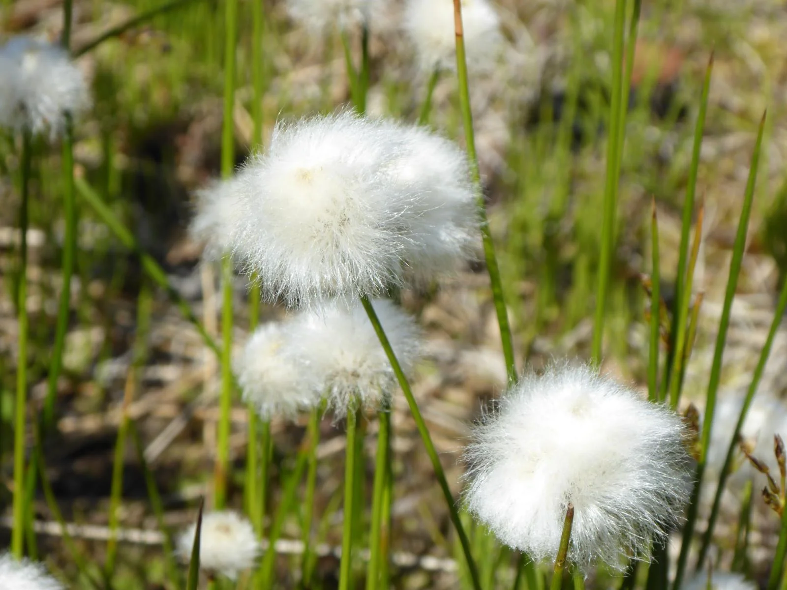
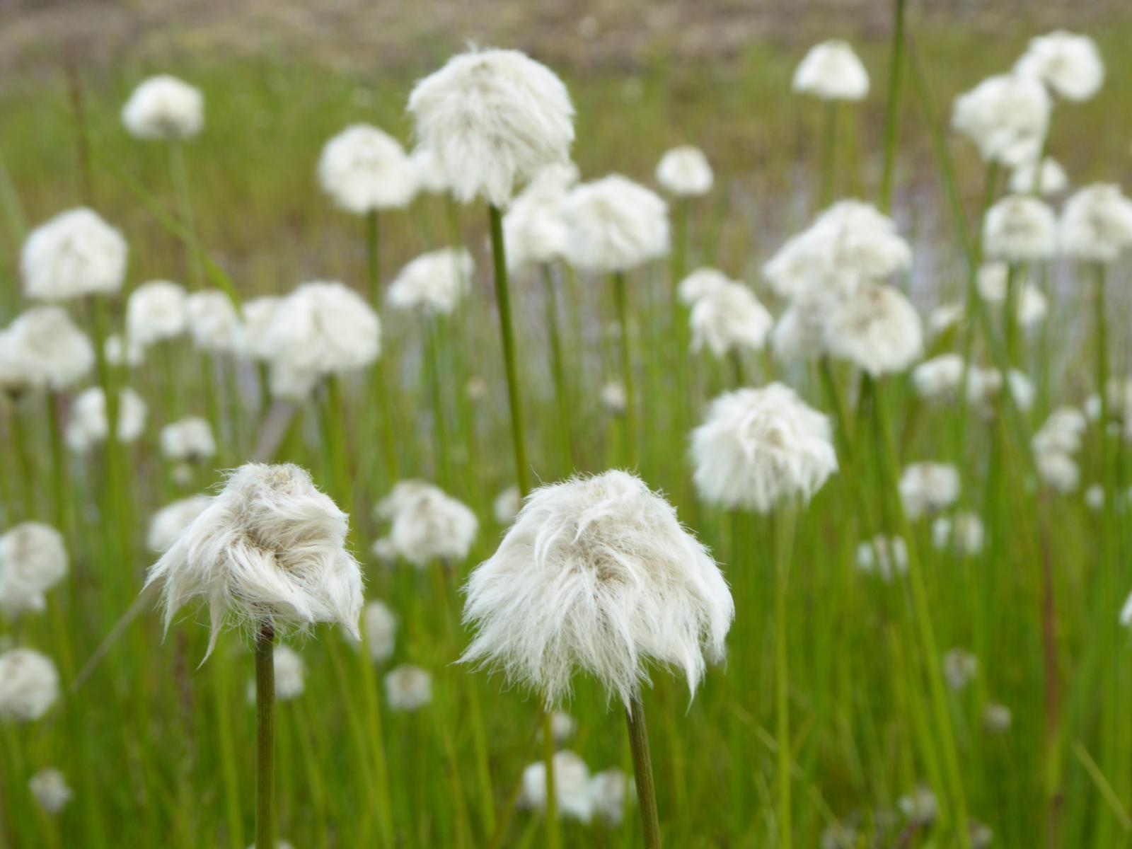
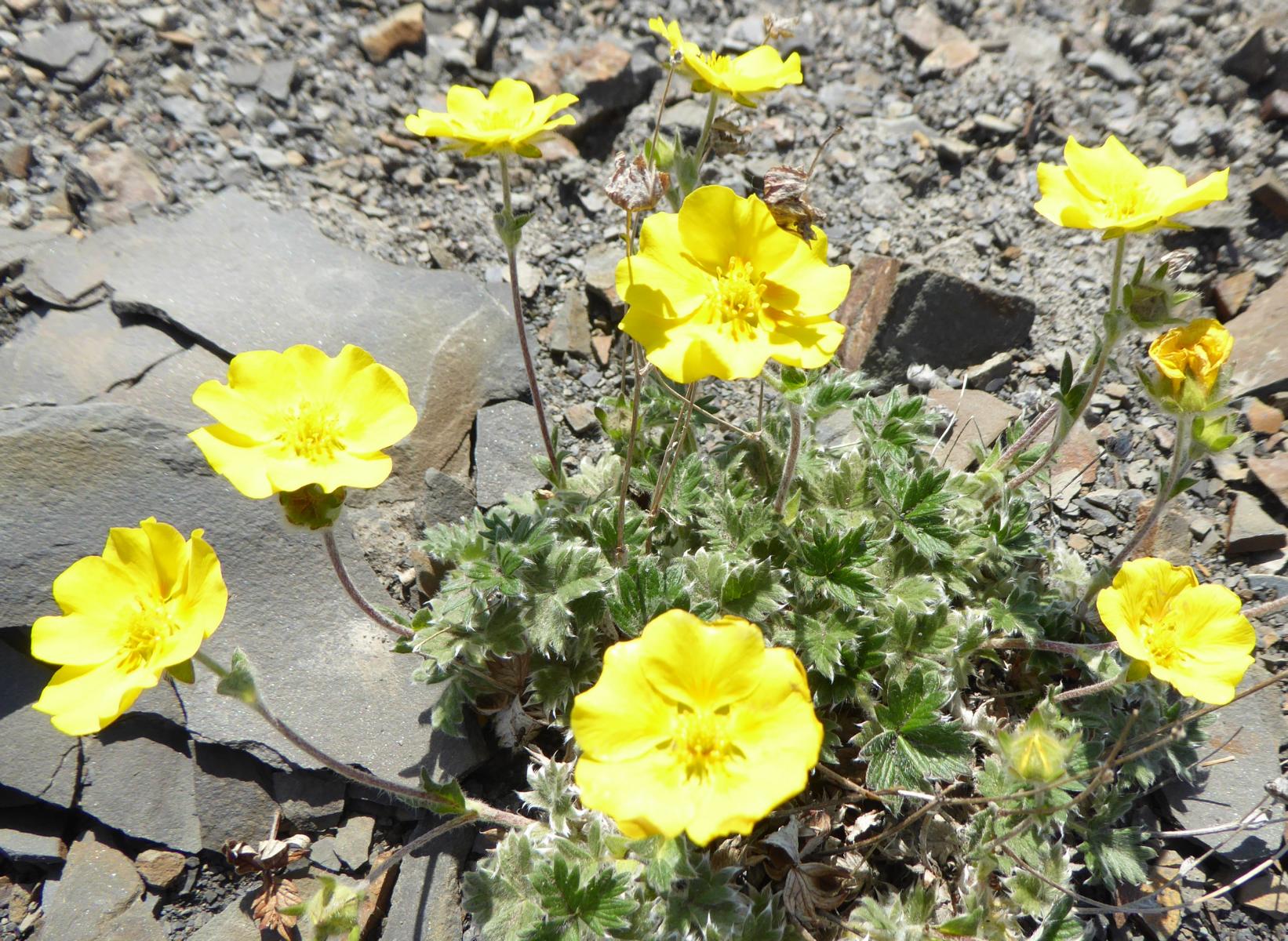
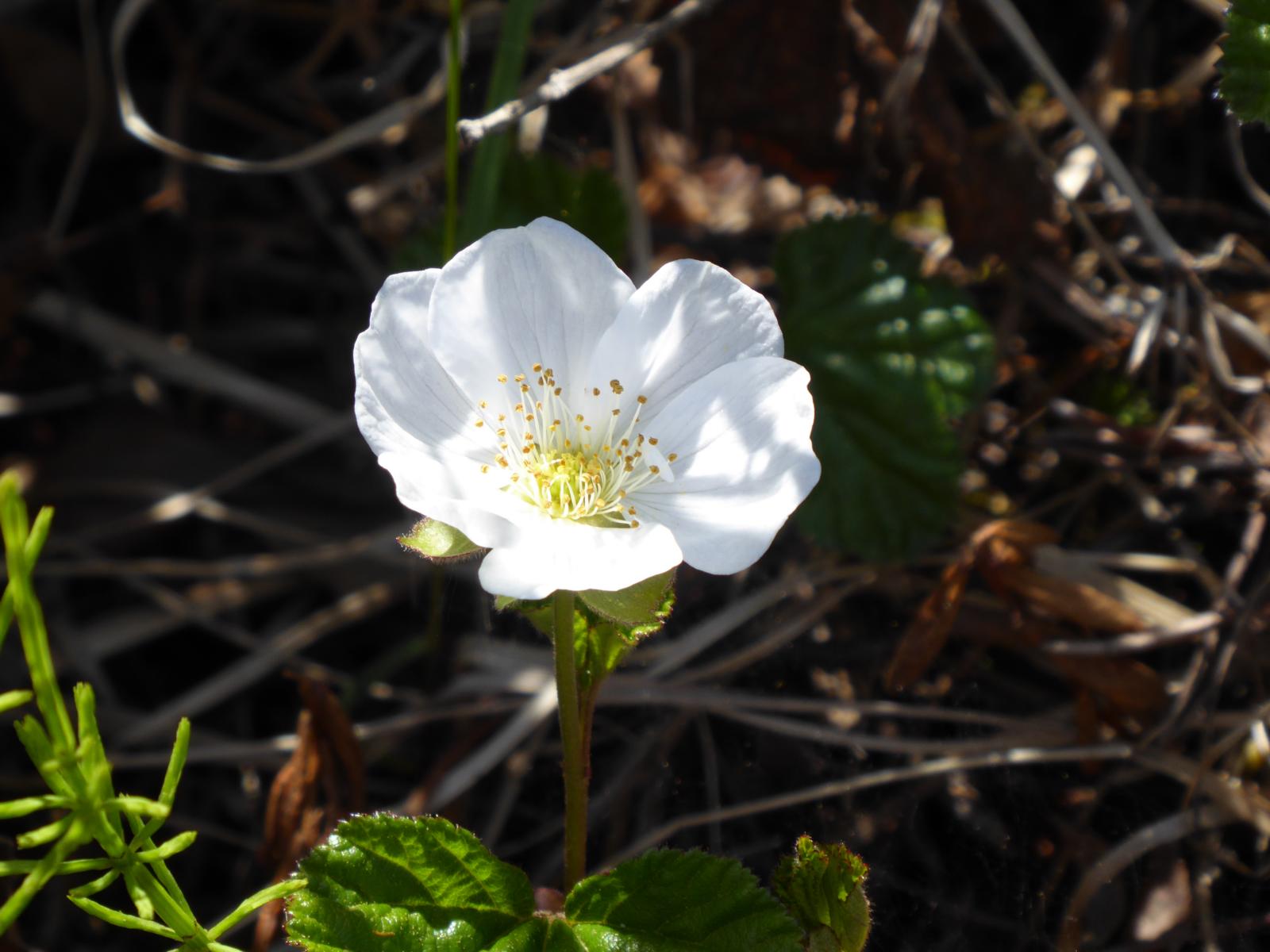
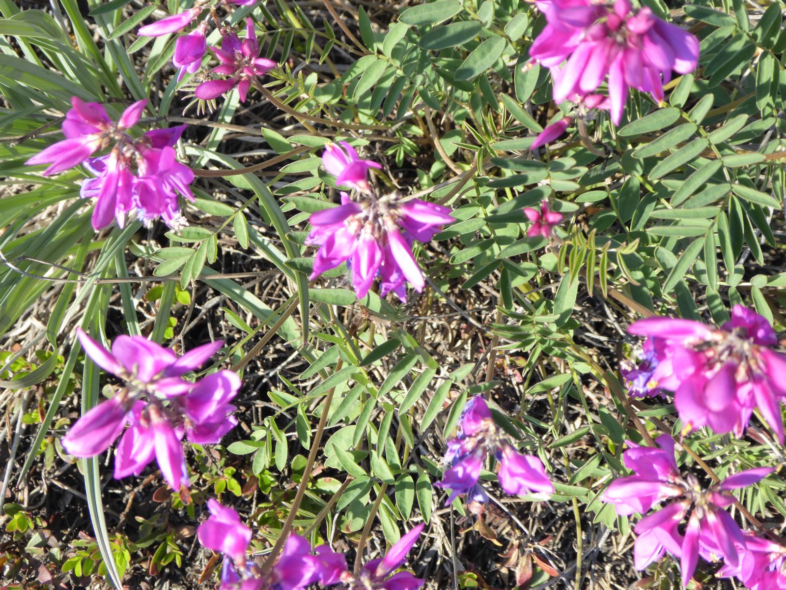
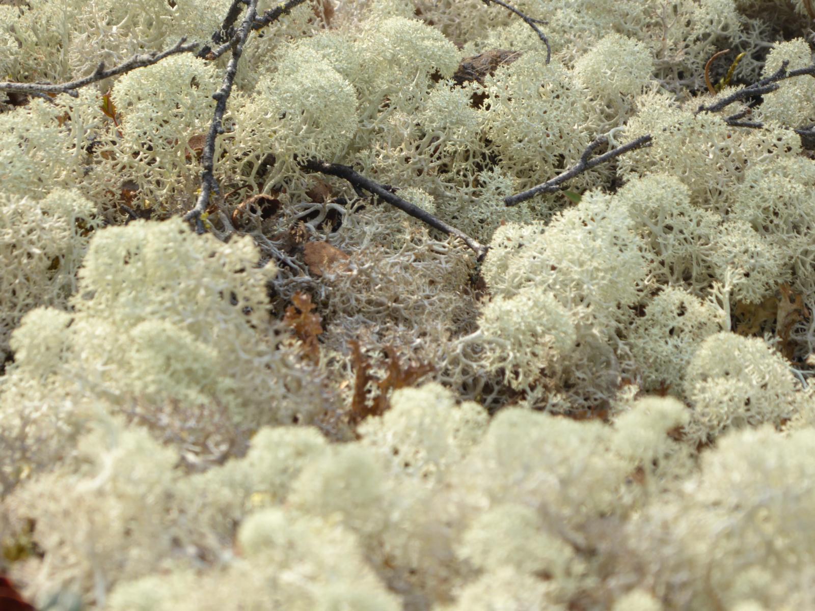
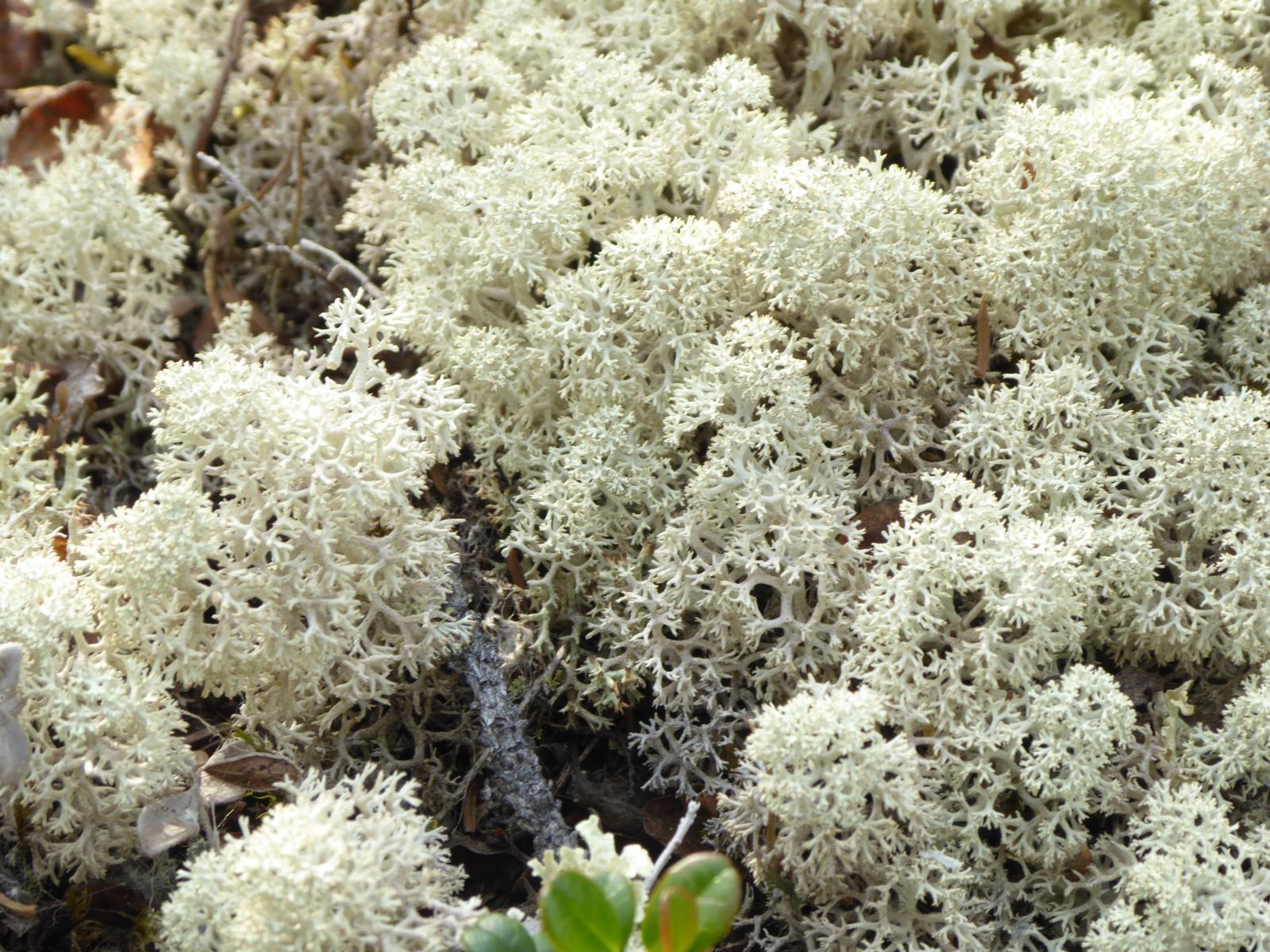
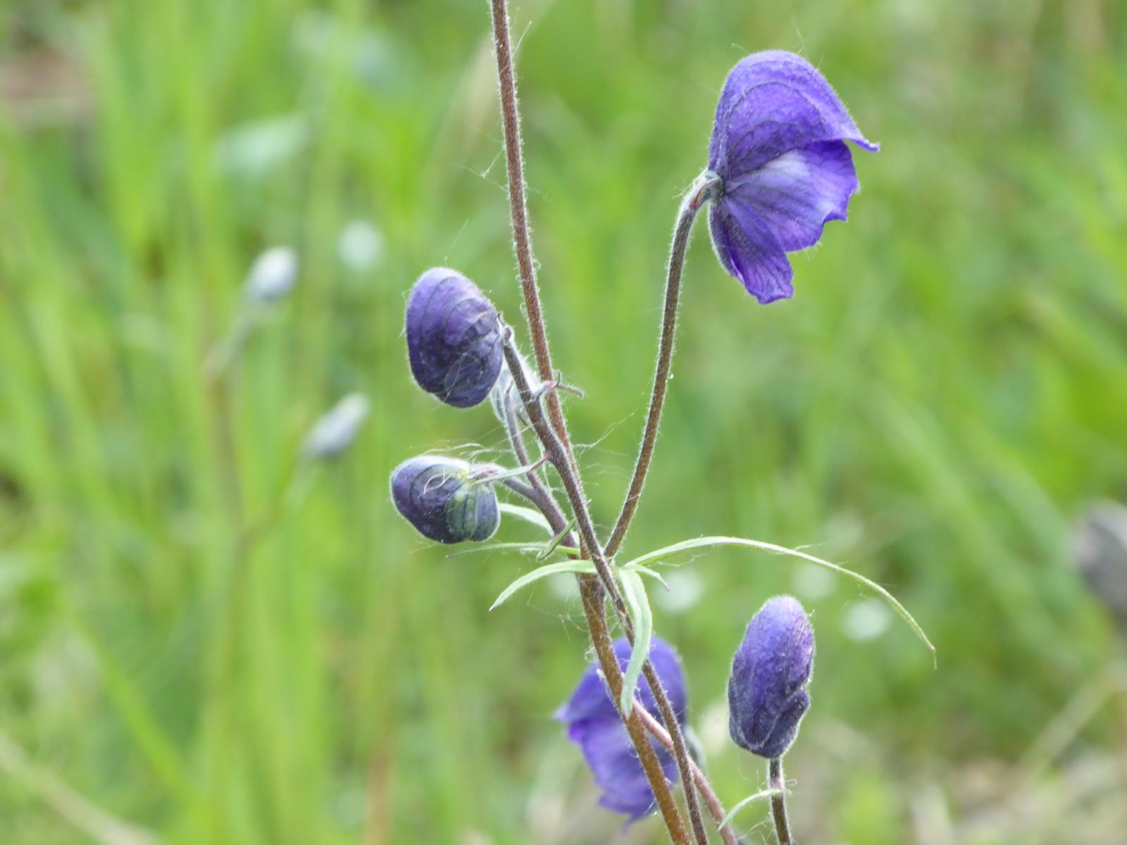
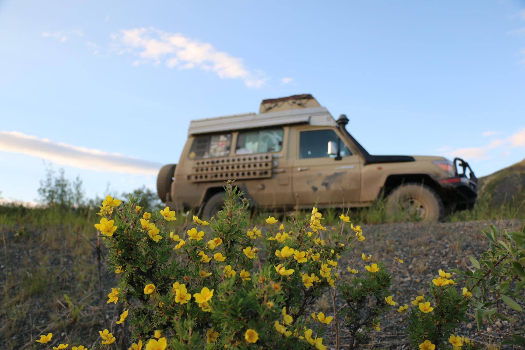
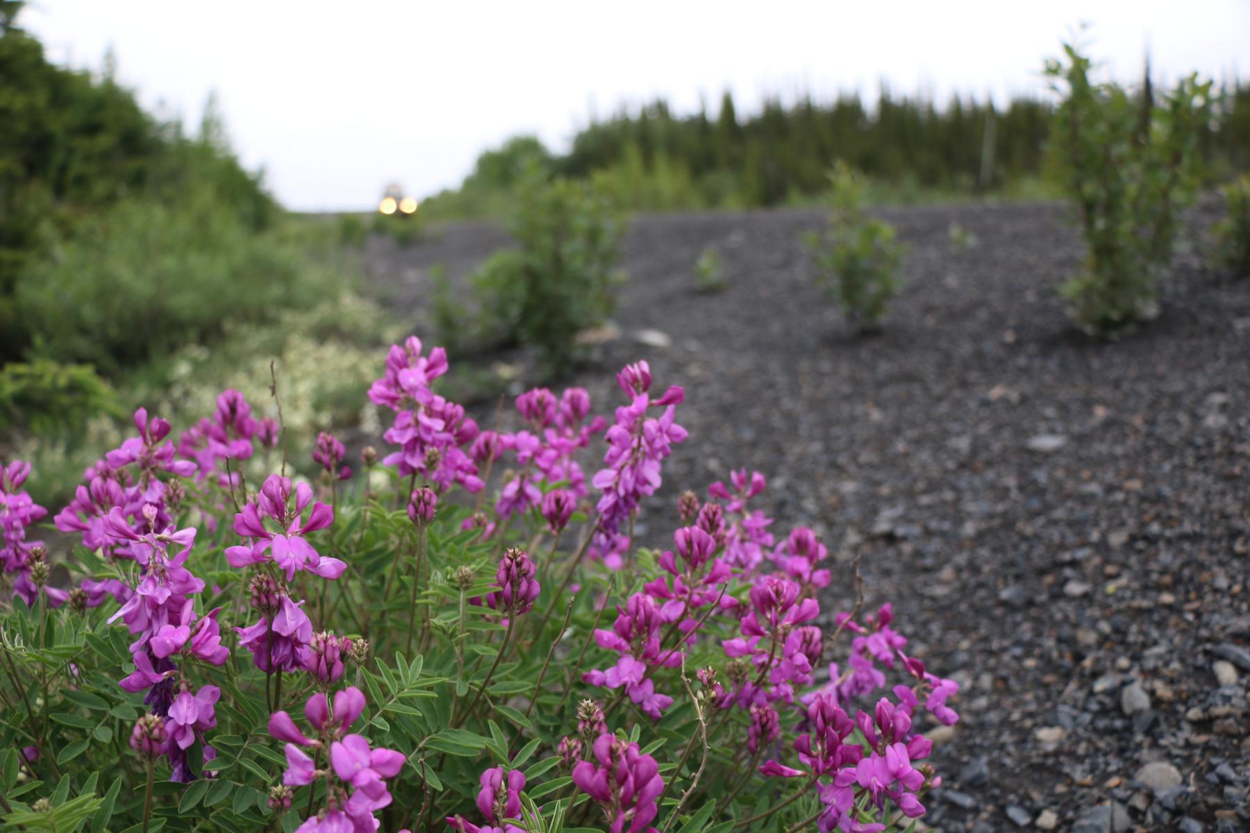
Mitte Juli verließen wir schließlich Dawson City und fuhren auf dem Top-of-the-World Highway weiter Richtung Alaska. An der Grenze gilt eine interessante Regelung. Marihuana / Cannabis ist sowohl in Kanada als auch in Alaska erlaubt. Da ein US-Bundesgesetz allerdings diese Substanzen verbietet wurde extra ein Schild aufgestellt, das Reisende daran erinnert, das man kein Marihuana über die Grenze bringen darf. Einheimische haben uns erzählt, dass sie deshalb ihr Marihuana immer kurz vor der Grenze vergraben, um es bei der Rückfahrt dann wieder aufzuklauben. Beeindruckend waren die vielen schönen Blumen und Pflanzen, die wir auf unserer Fahrt sahen. Einige davon sind uns aus unserer Heimat vertraut.