Atacama Desert – Northern Chile, May 2017
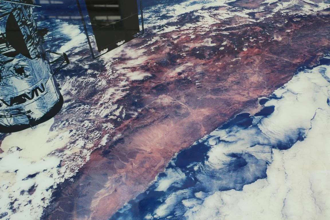
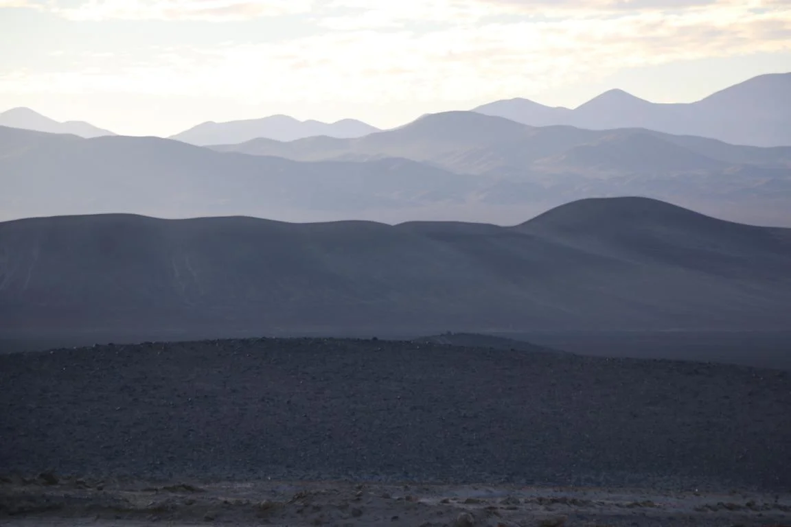
During the month of May I travelled through Northern Chile in particular the Atacama Desert, which is considered to be the driest non-polar place in the world (Wikipedia). Due to a combination of mountain ranges (costal range, Andes), the cold Humboldt-sea current and a particular wind system the 100,000 km2 large area hardly gets any precipitation – see below satellite picture. Dating back 200 million years it also is considered one the oldest deserts in the world.
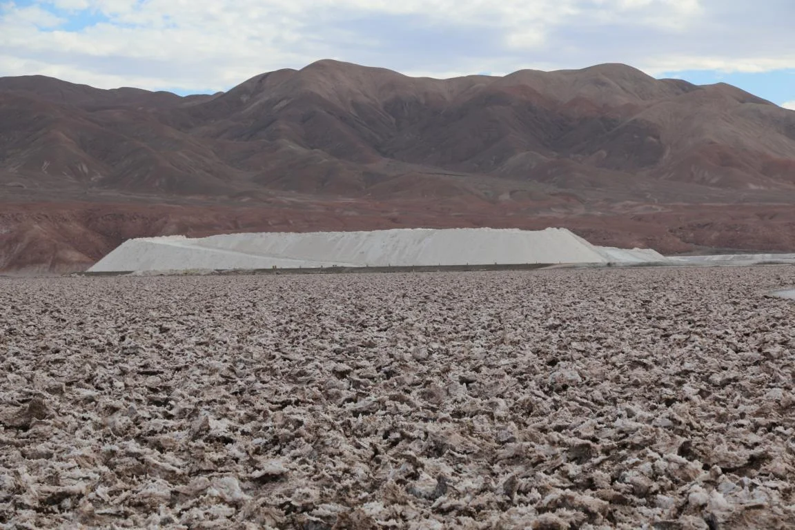
The mineral rich region (sodium nitrate / saltpetre, copper, lithium) was originally part of Bolivia until it became part of Chile as a result of the War of the Pacific (1879–83).
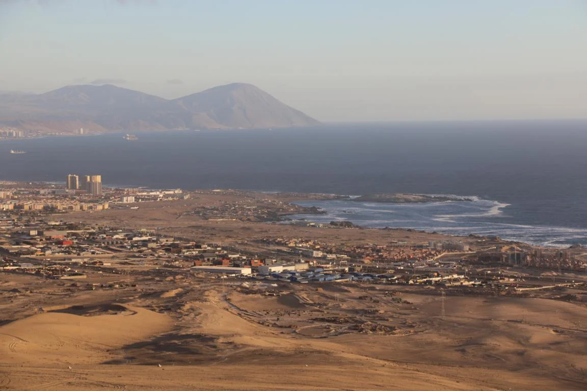
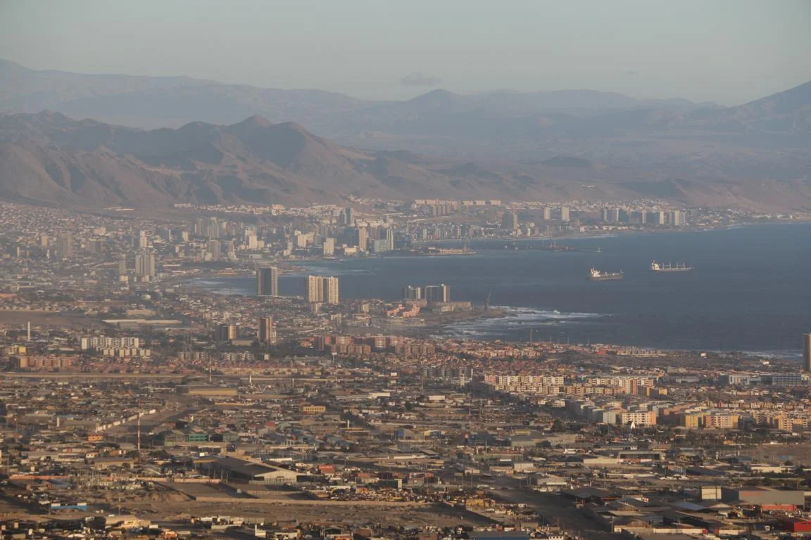
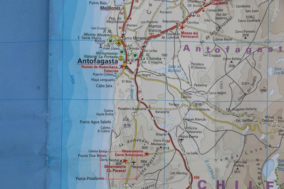
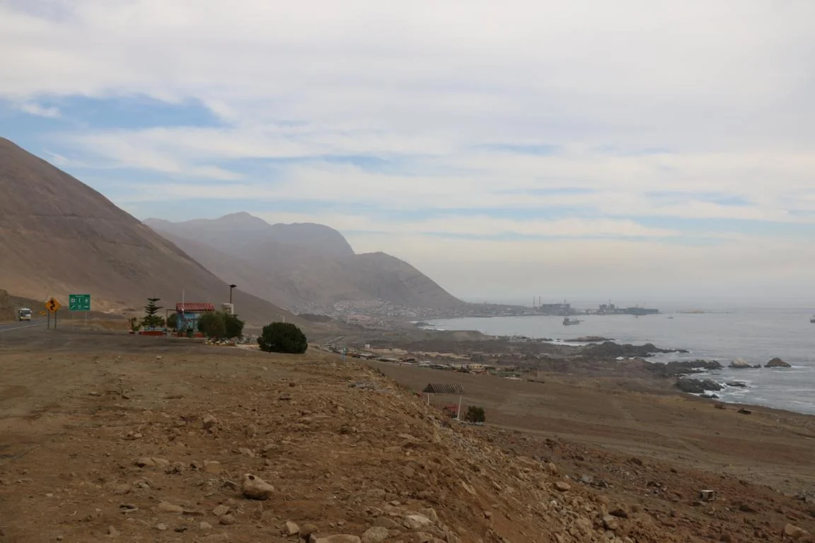
Antofagasta (350,000 inhabitants) is Chiles most important port in the north. Right behind the town starts the desert.

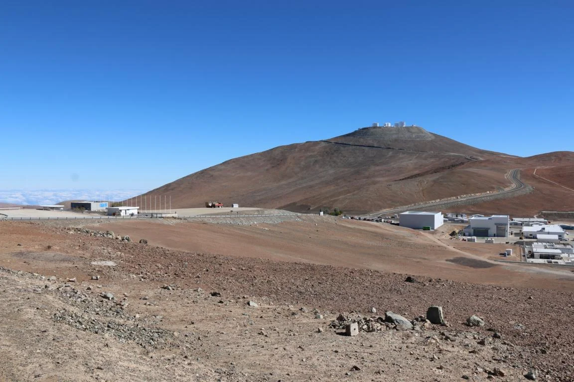
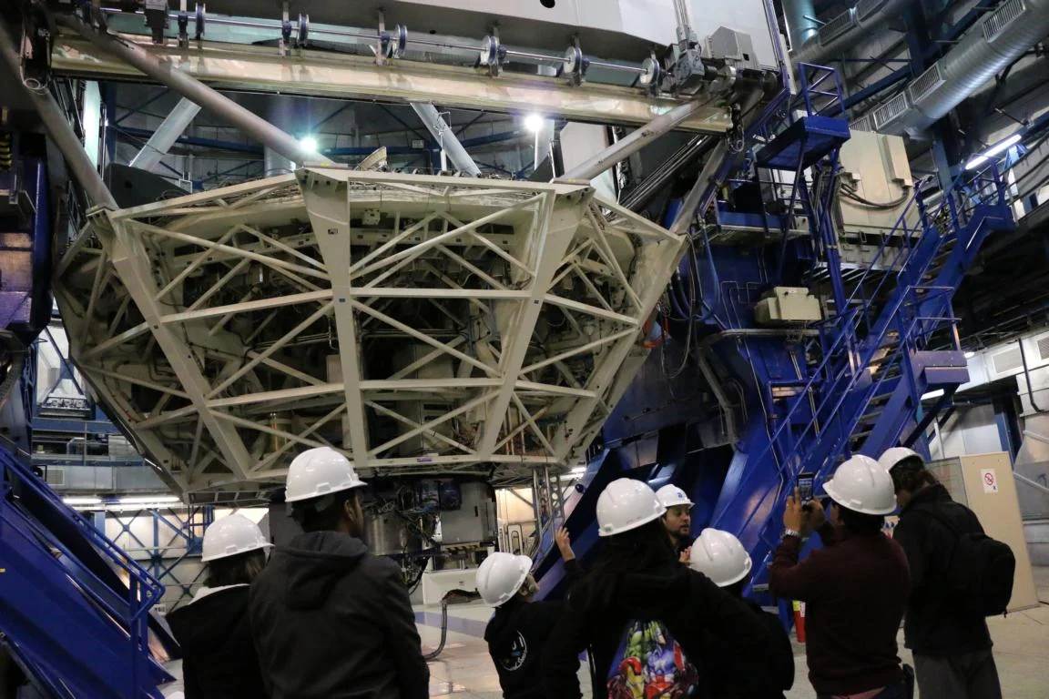
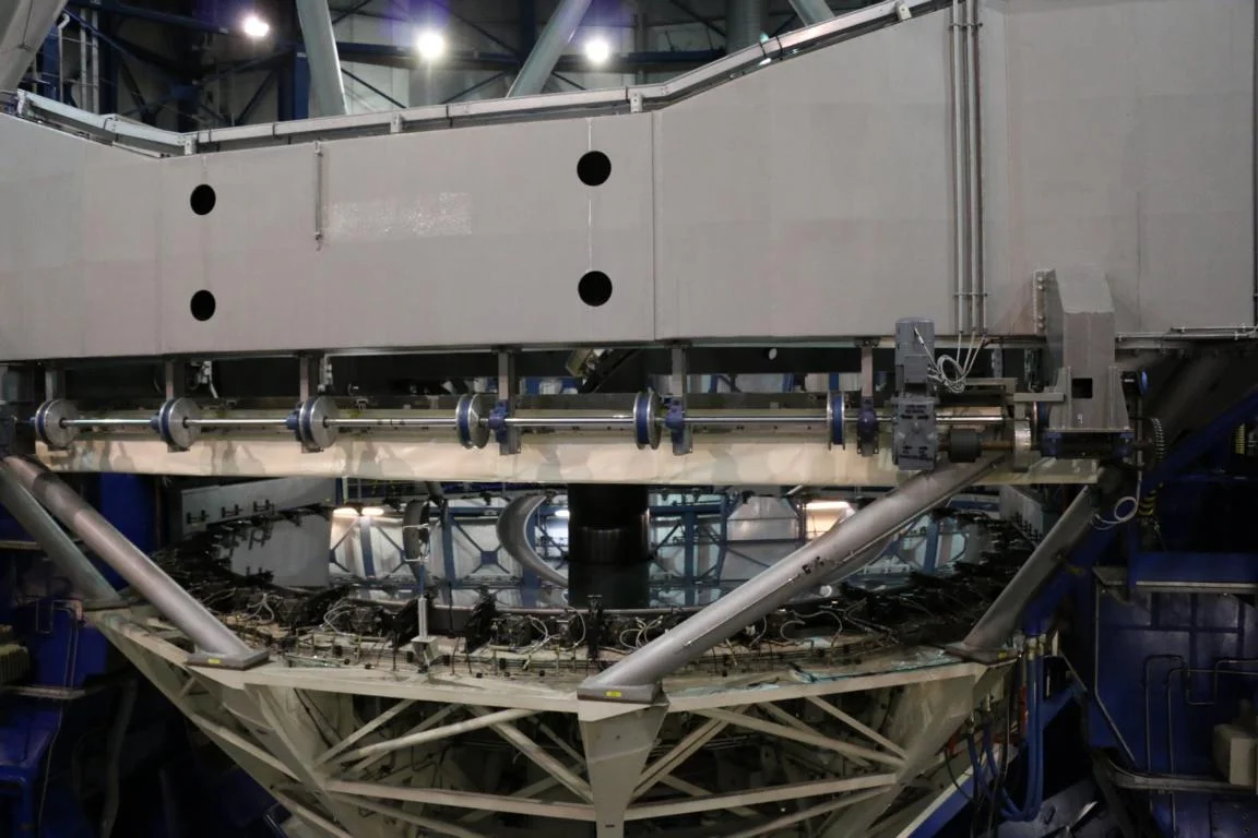
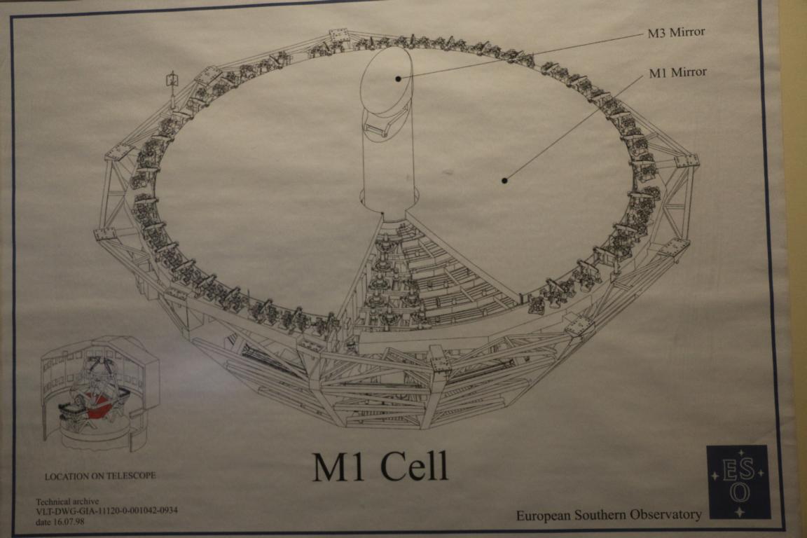
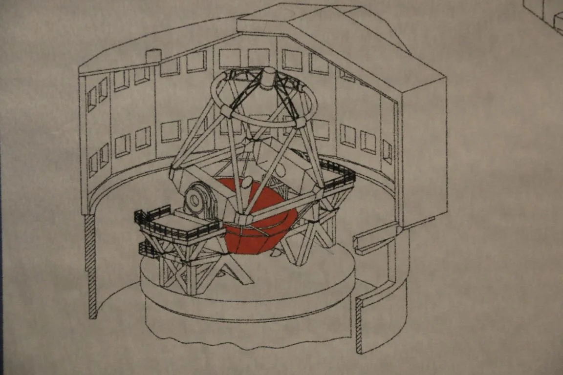
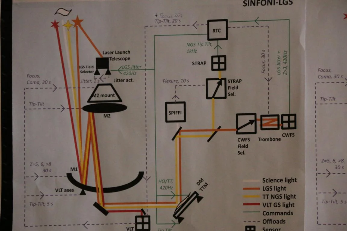
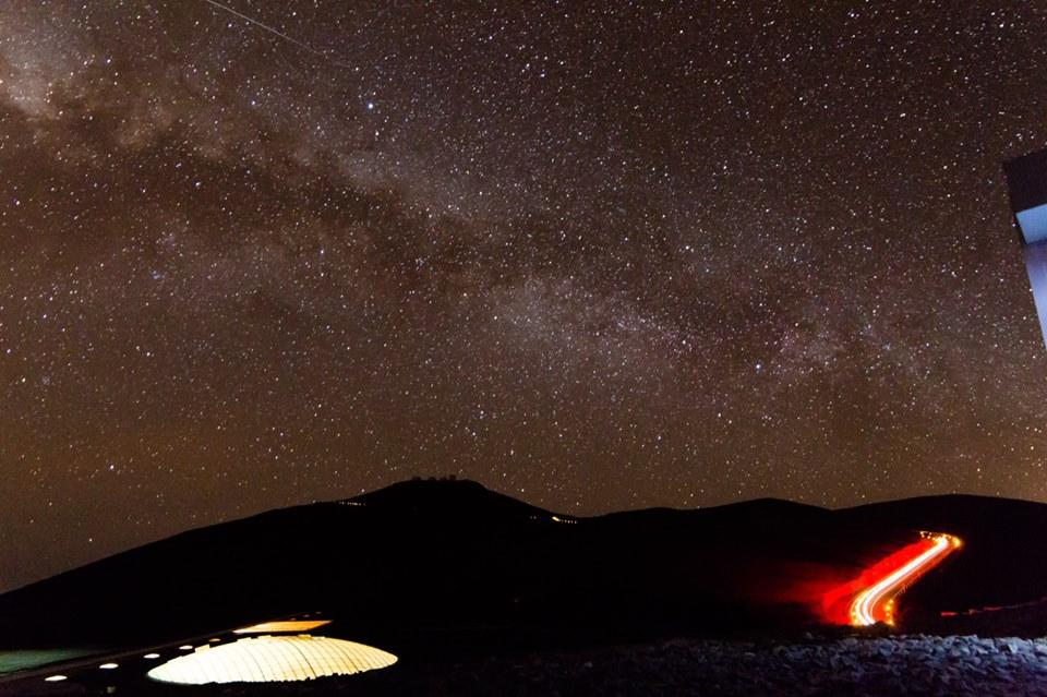
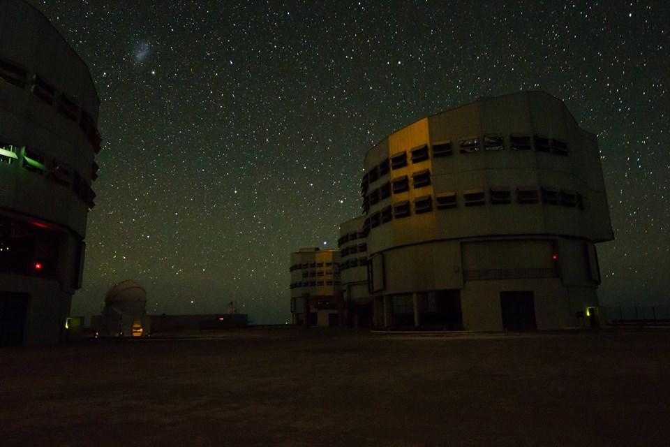
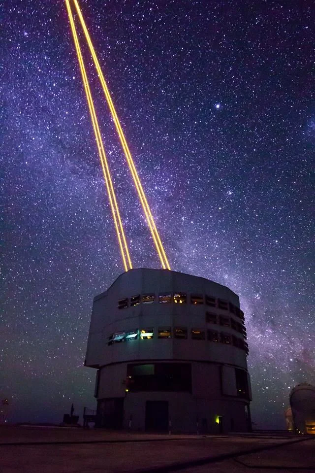
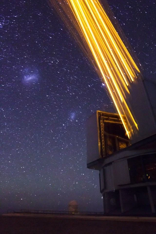
With respect to the extreme dry climate the EU constructed the European Southern Observatory (ESO) in Paranal, some 120 km south of Antofagasta – he biggest of this kind in the world. It consists of four large (each 8.1 m) and a number of smaller telescopes to observer light-waves. The telescope is so strong that astronomers – in theory – would be able to read the figures of the number plate of a car driving on the moon. The night pictures were kindly provided by a friend, Boris Häußler, who works with ESO in Paranal as an astronomer. The spotlight pointing in the sky is Laser light to create “artificial stars” in order to correct air disturbances.
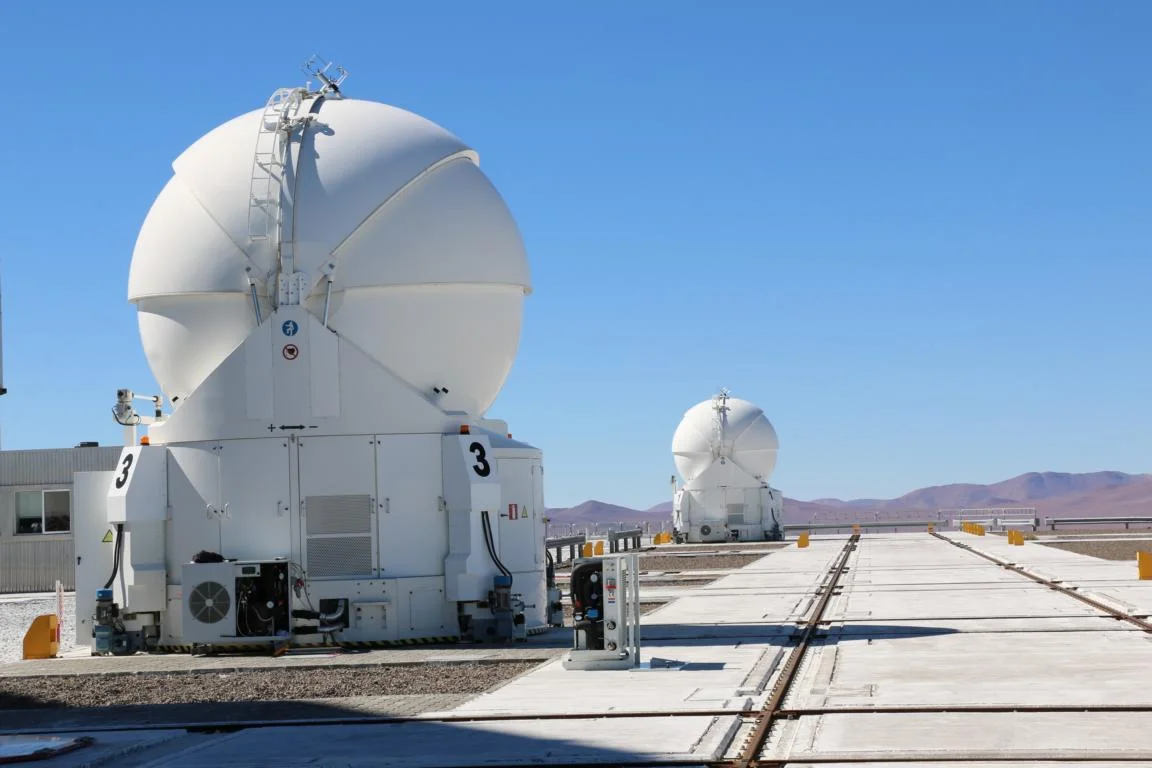
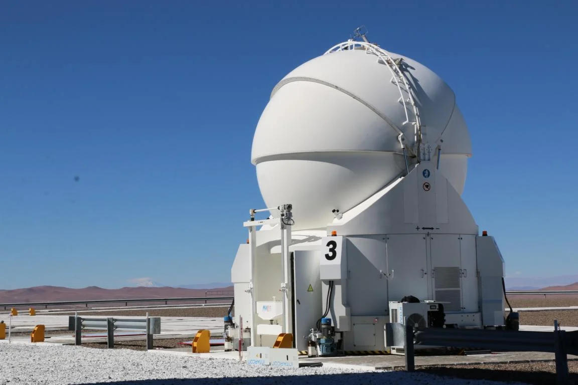

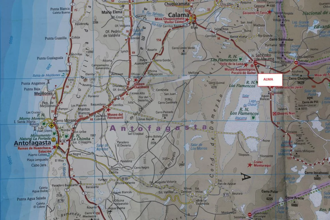
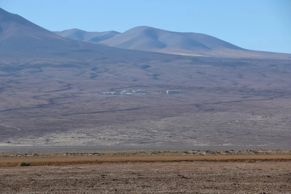
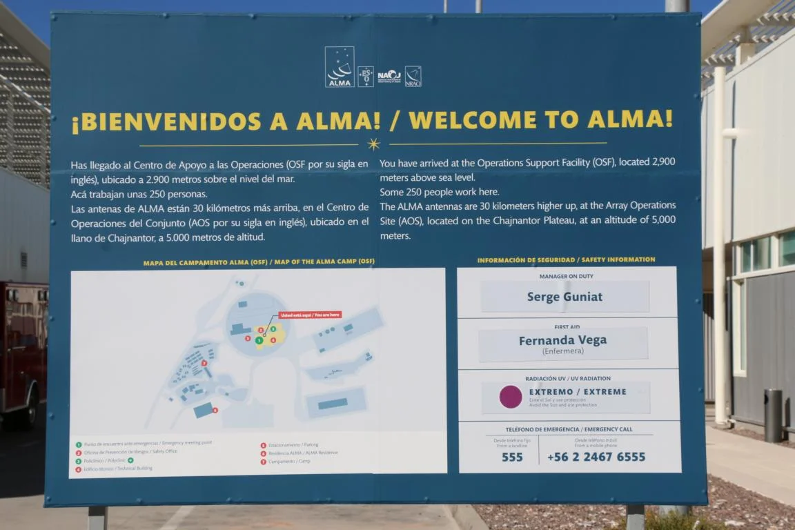
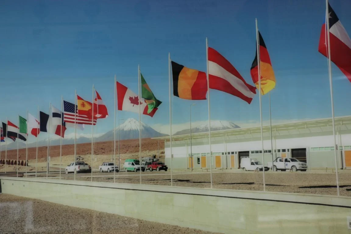
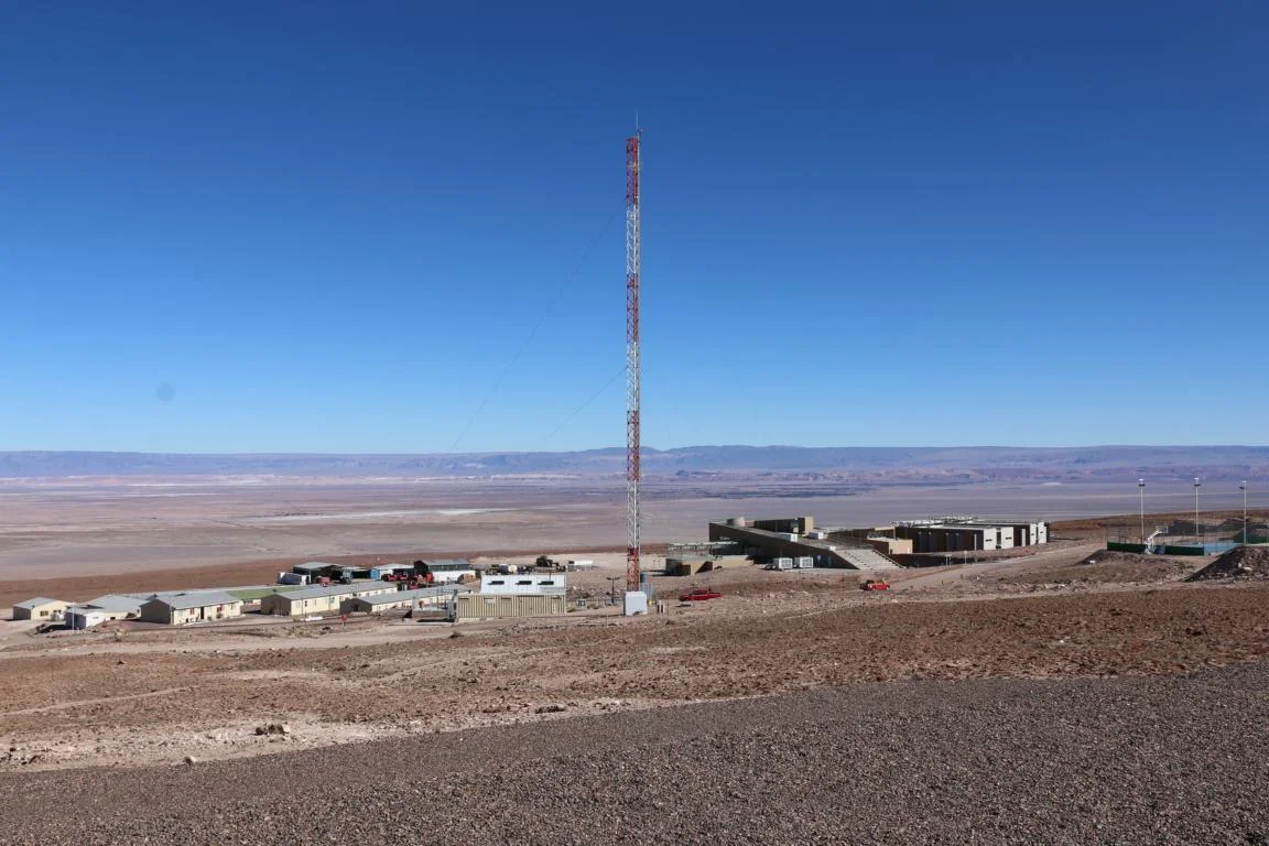
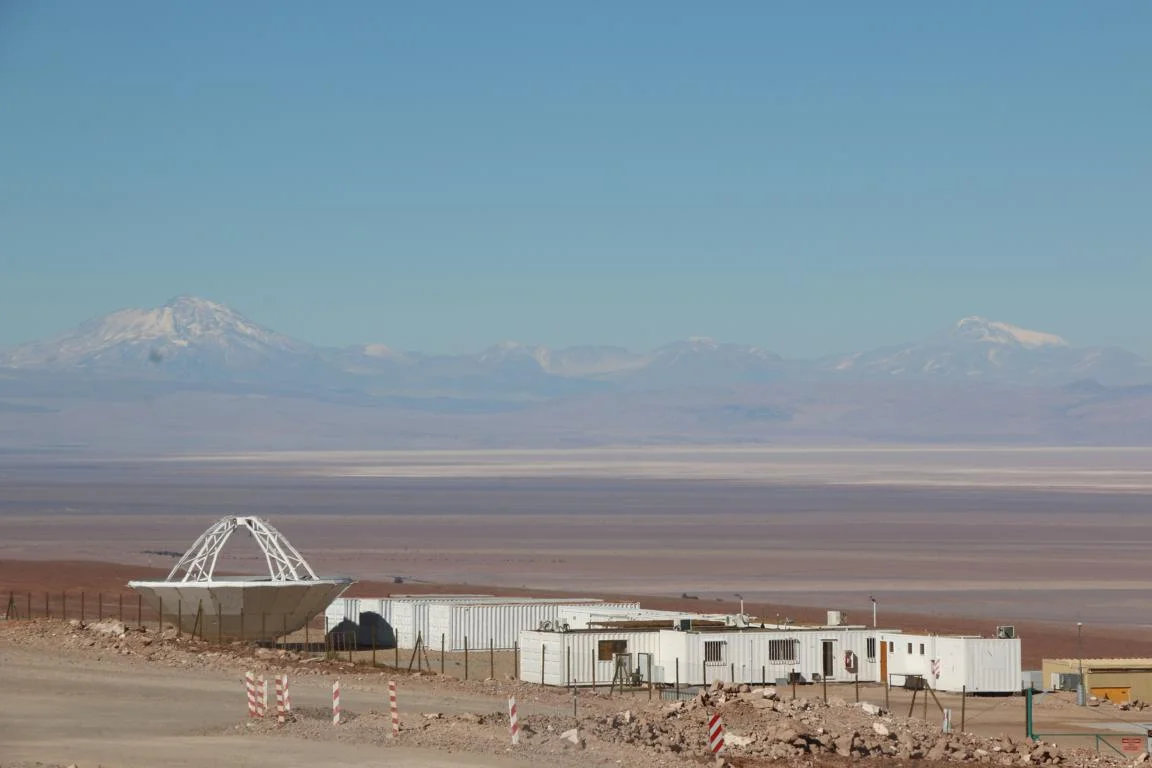
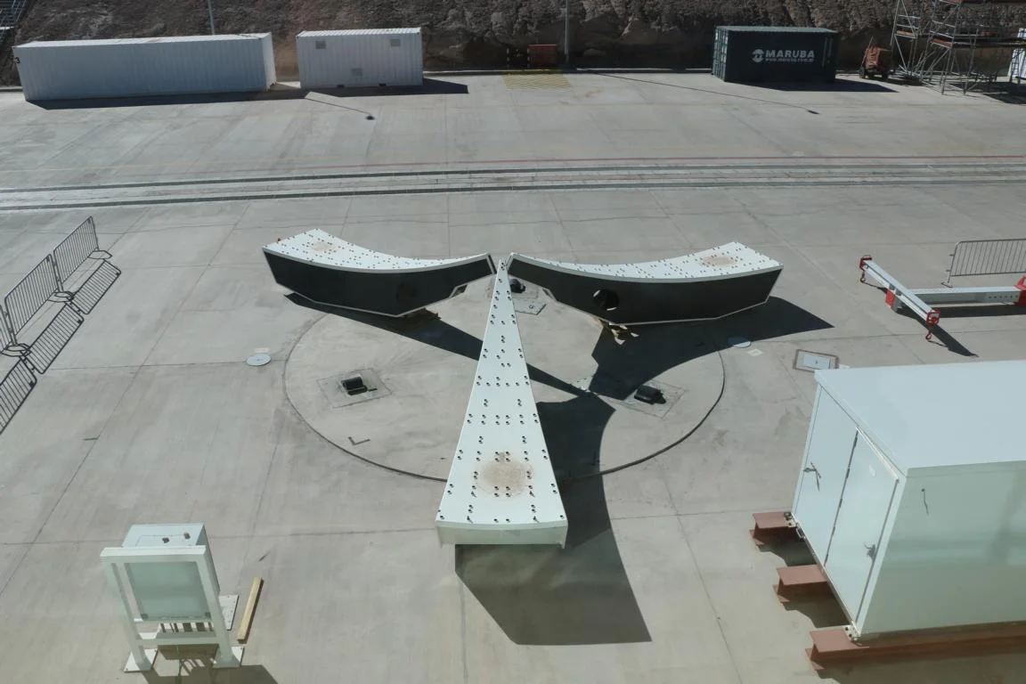
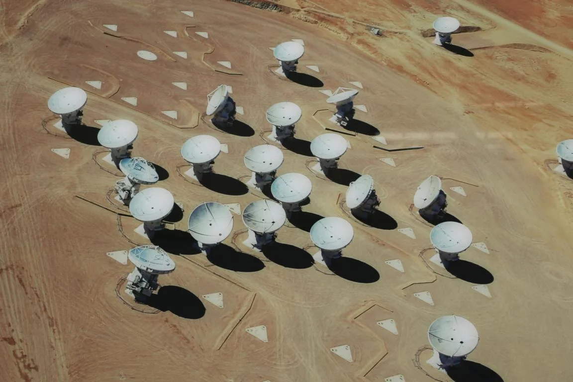
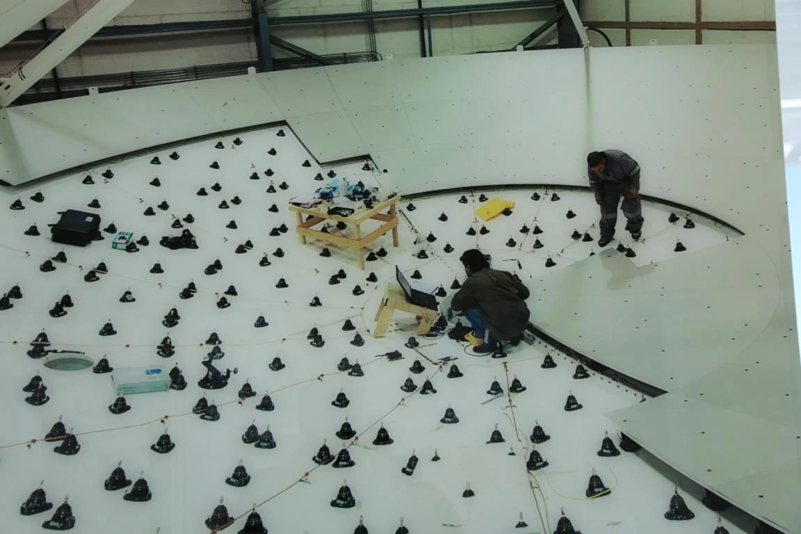
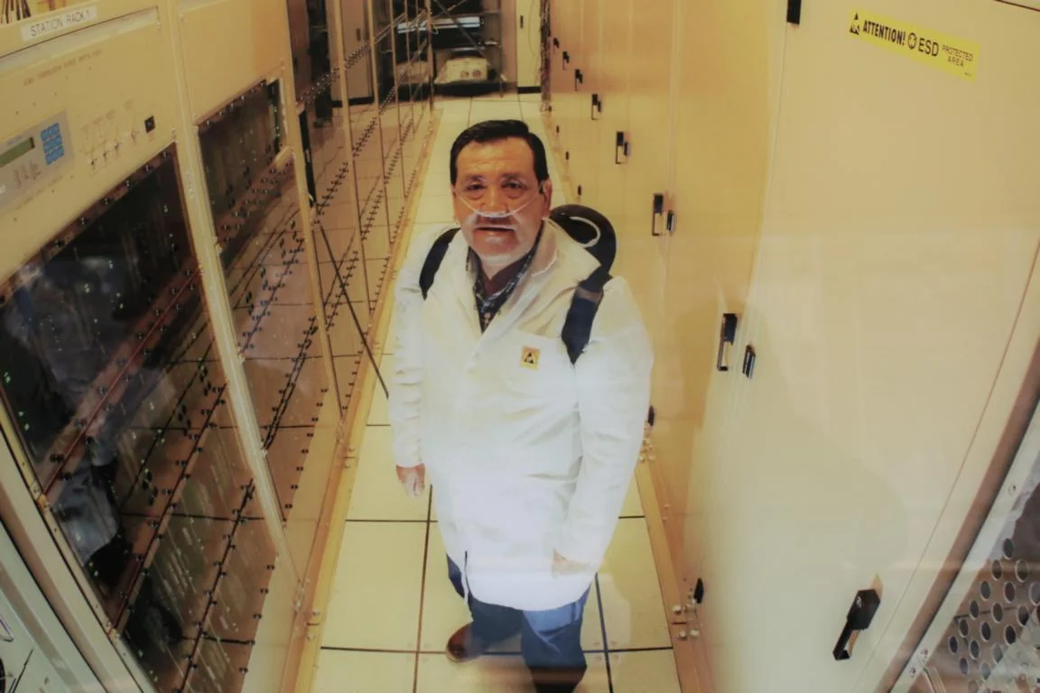
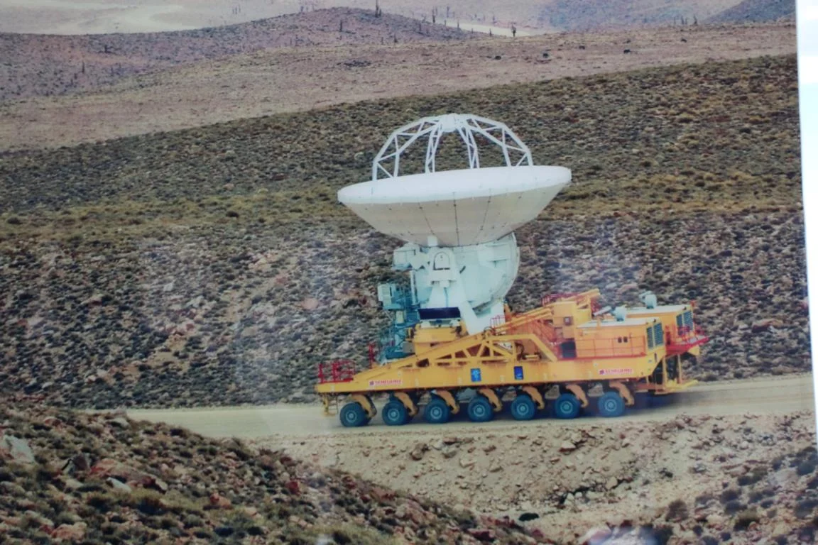
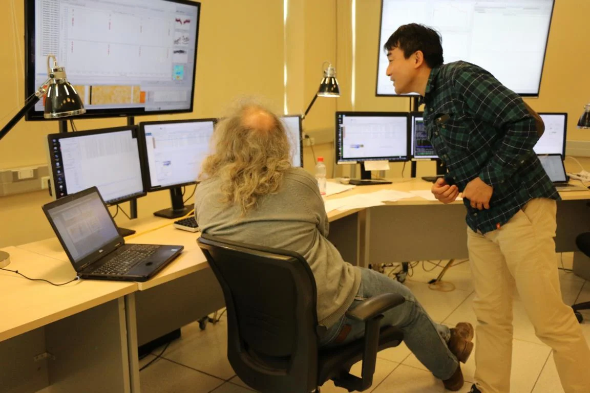
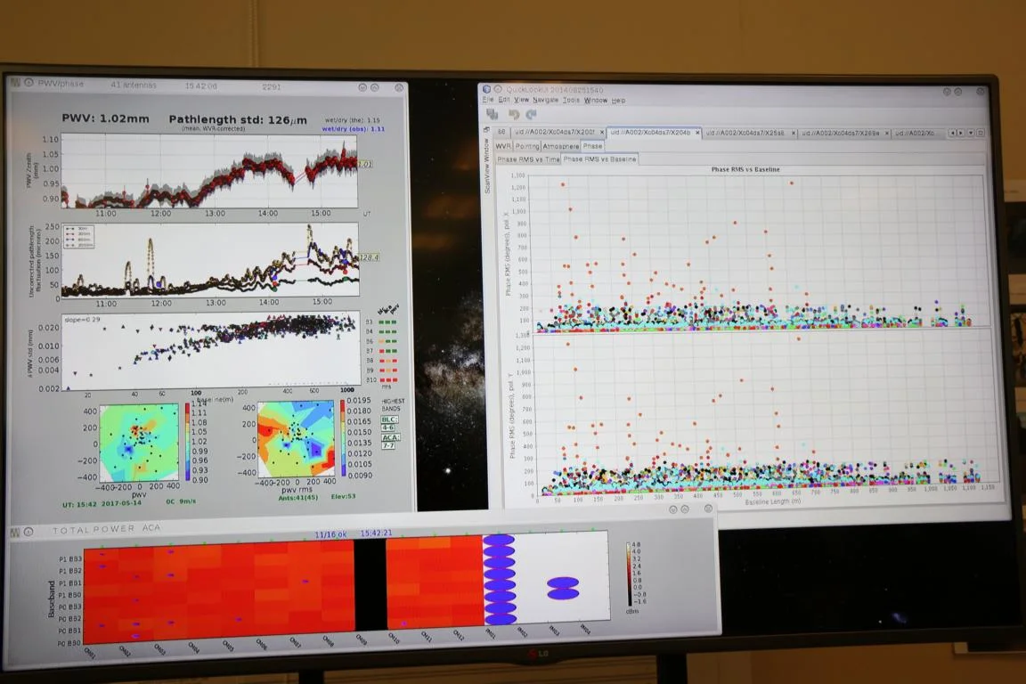
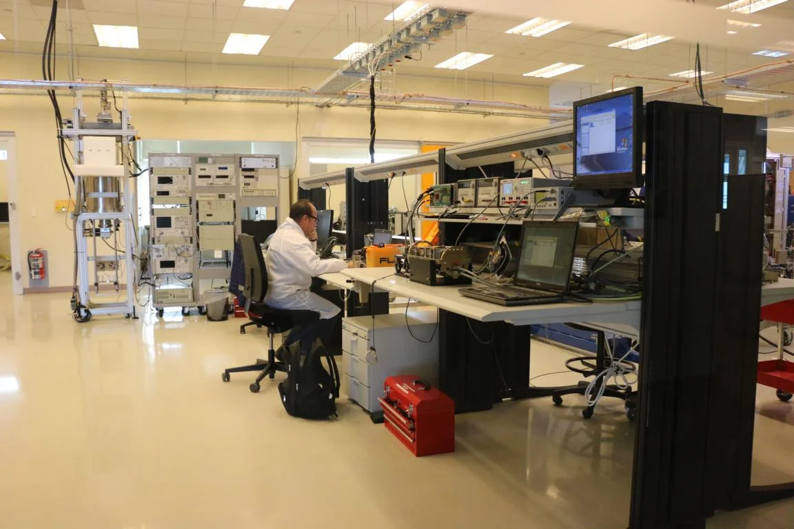
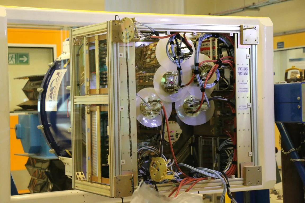
Some 400 km north-east of Paranal there is a another large observatory called Atacama Large Millimeter/submillimeter Array (ALMA) built by the EU, USA/Canada and Japan. It is an astronomical radio telescope consisting of 66 antennas which observes and analysis radio waves coming from the space. The observatory hosts the largest non-military computer in the world. While the offices are located at an altitude of 2,995 m the antennas are operating at an altitude of 5,000m. Tourists are only allowed to visit the offices (therefore some of the following pictures are taken from posters displayed in the visitor’s centre).

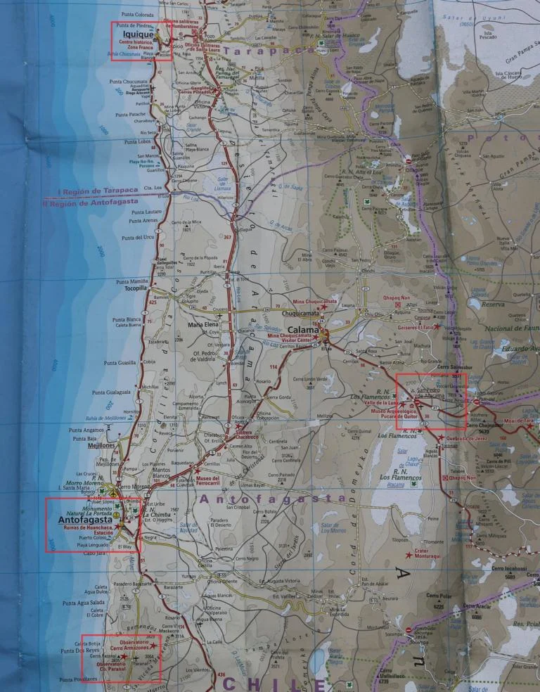
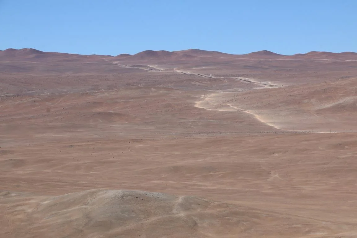
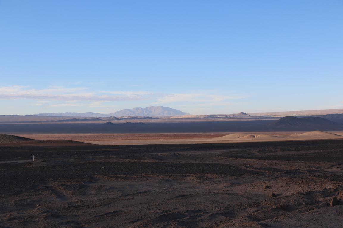
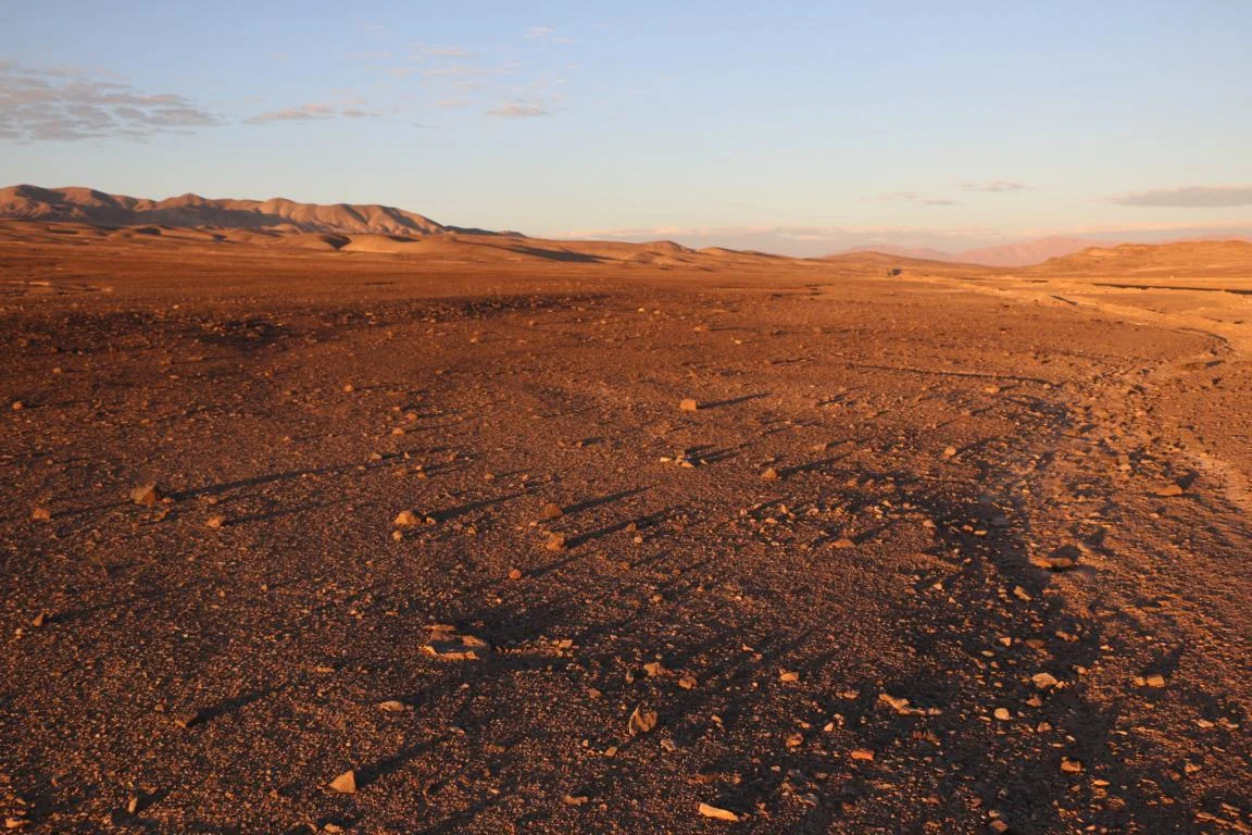
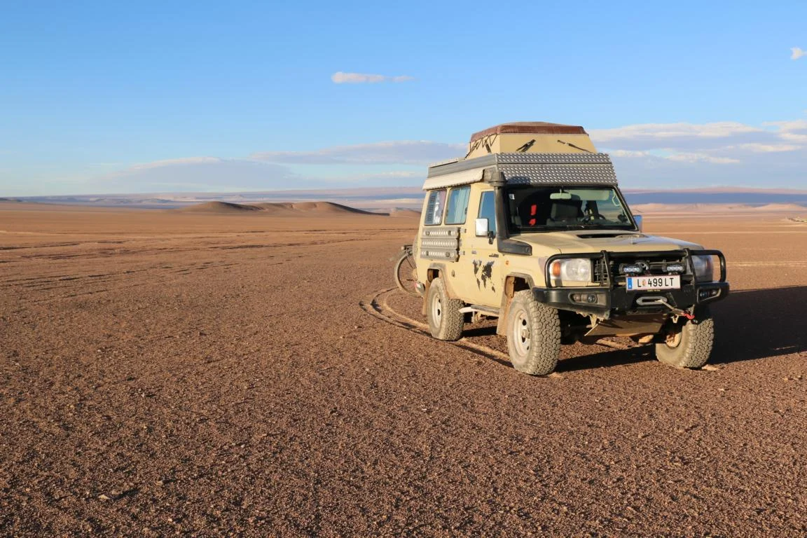
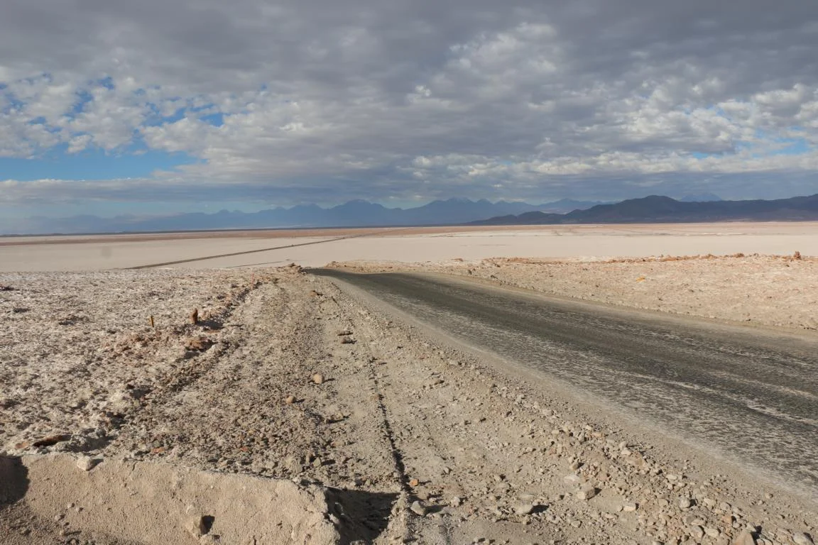
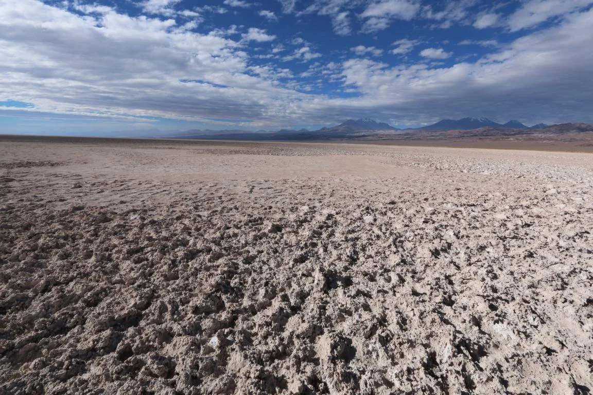
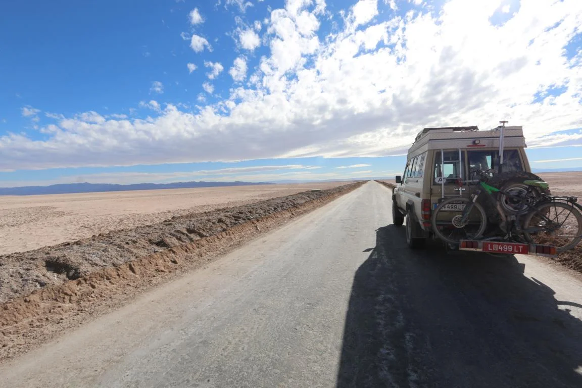
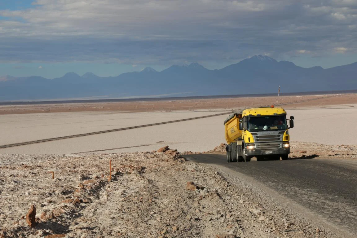
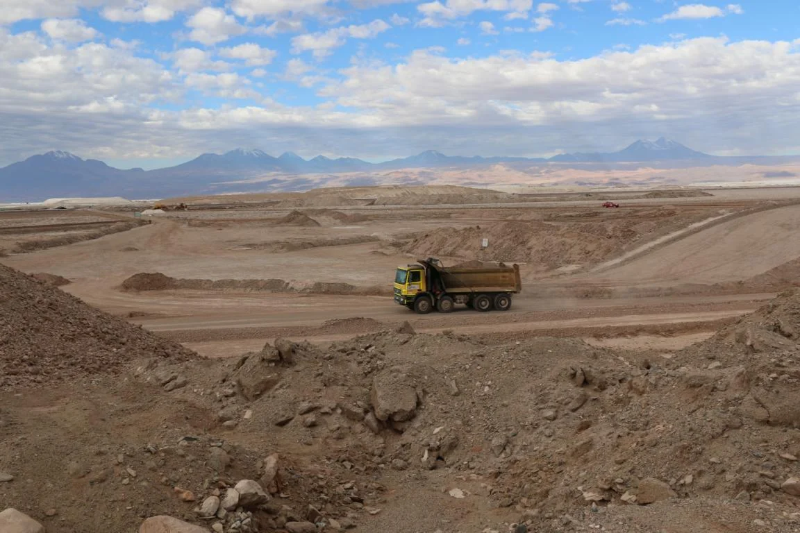
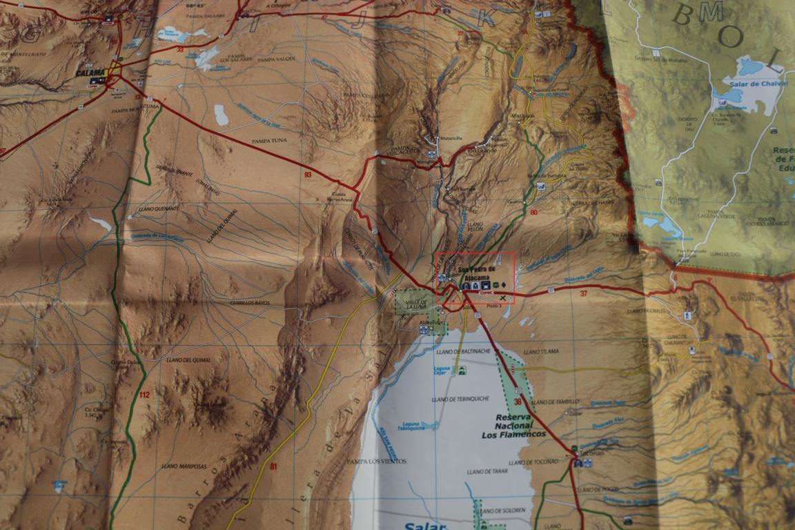
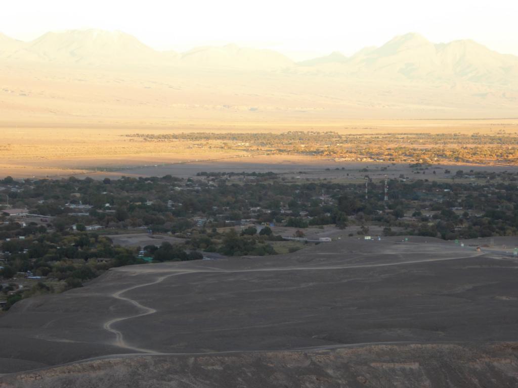
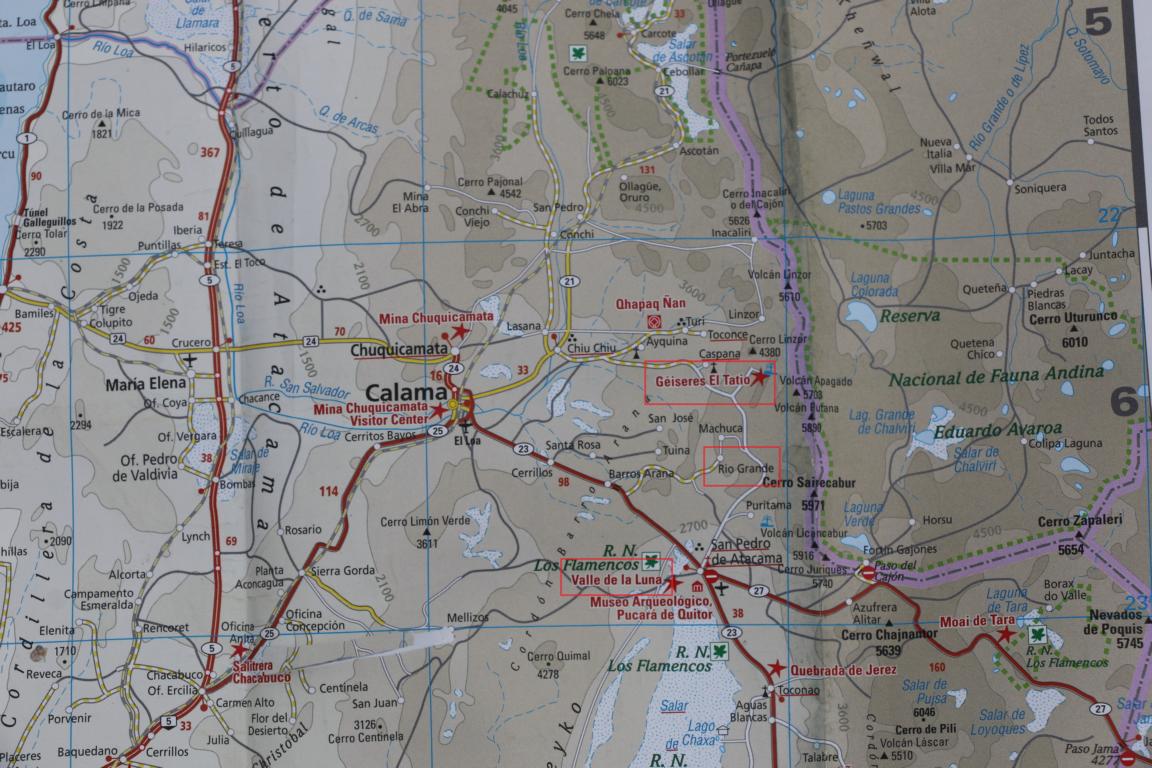
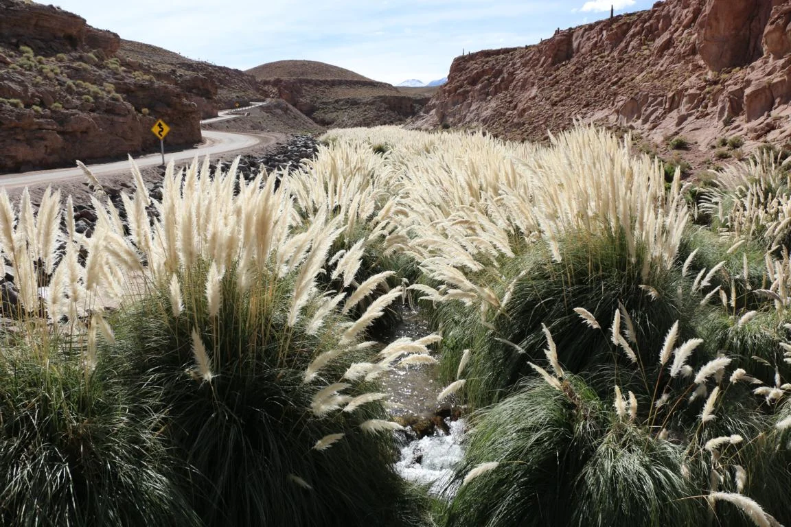
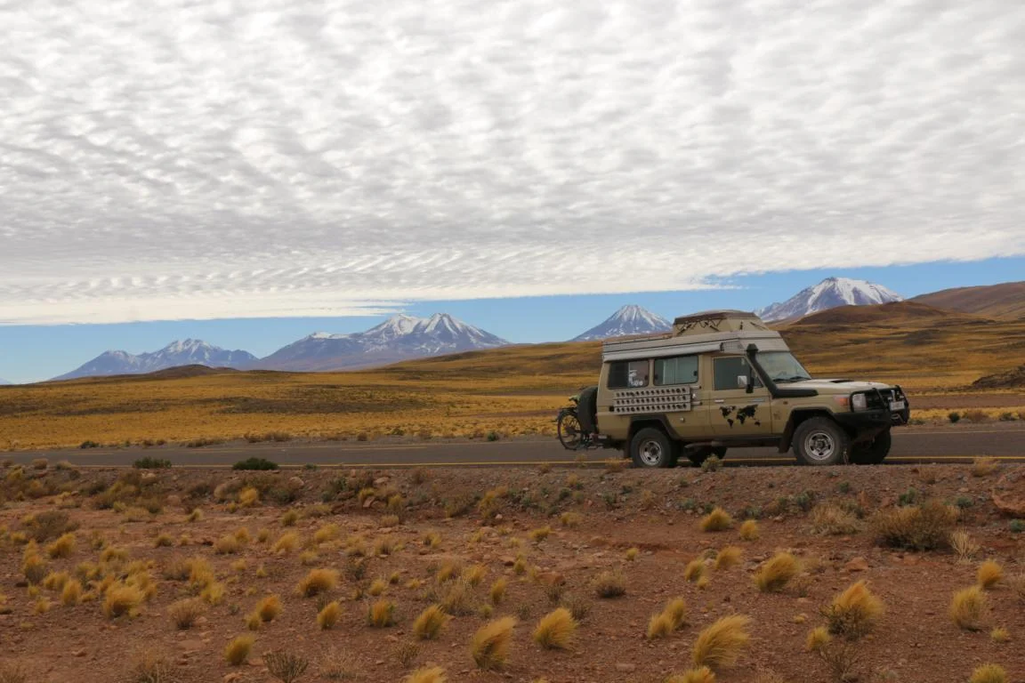
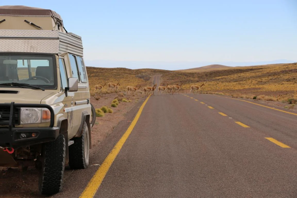
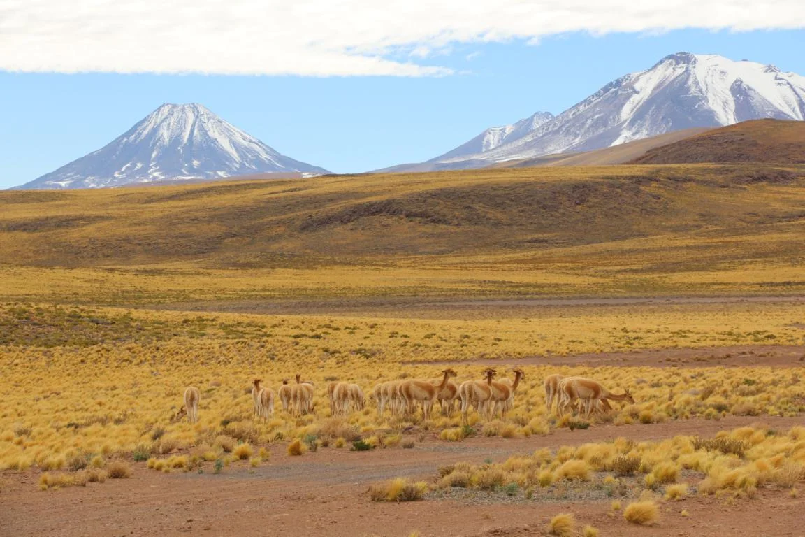
Avoiding the newly built high-way a used a dirt road leading eastwards from Antofagasta (sea level) through the Salar de Atacama to San Pedro de Atacama (2,400m). The road – mainly used by trucks coming from the various mines - leads 250 km through a moon-like landscape without any vegetation.
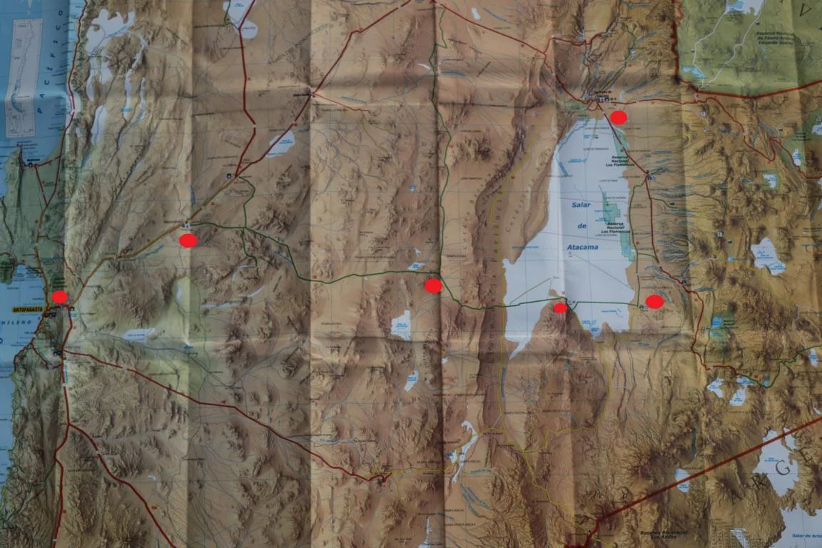
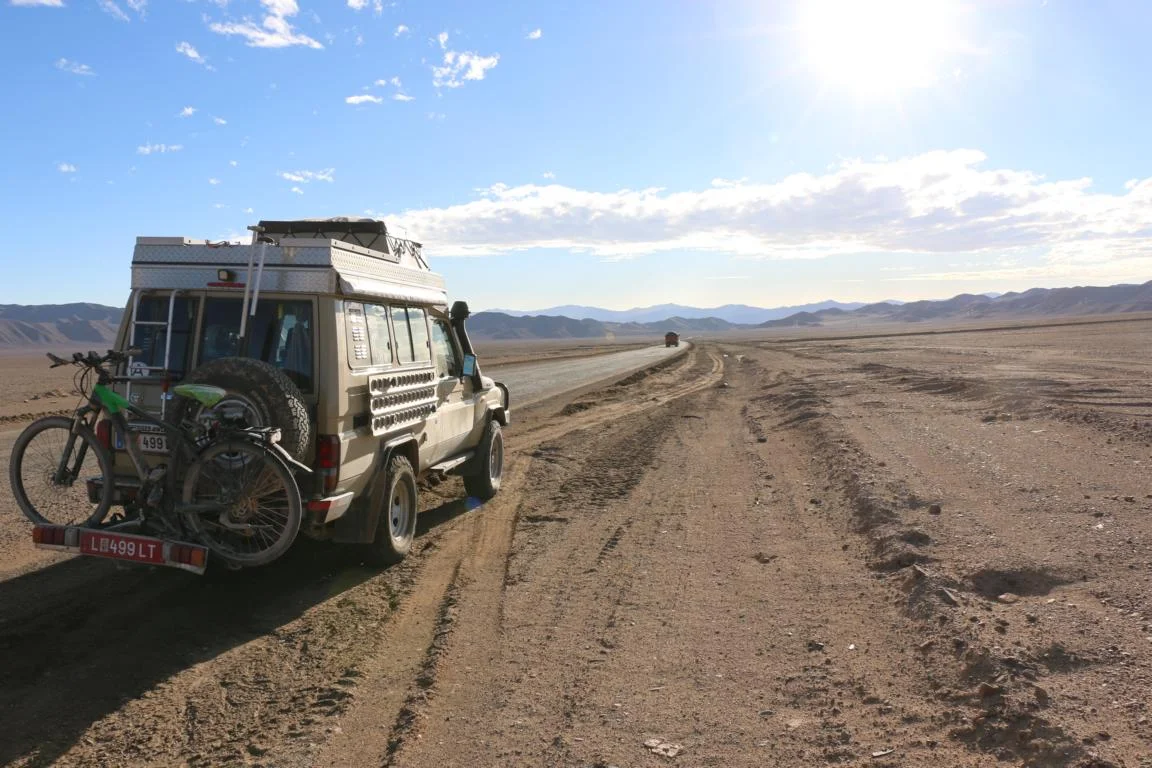
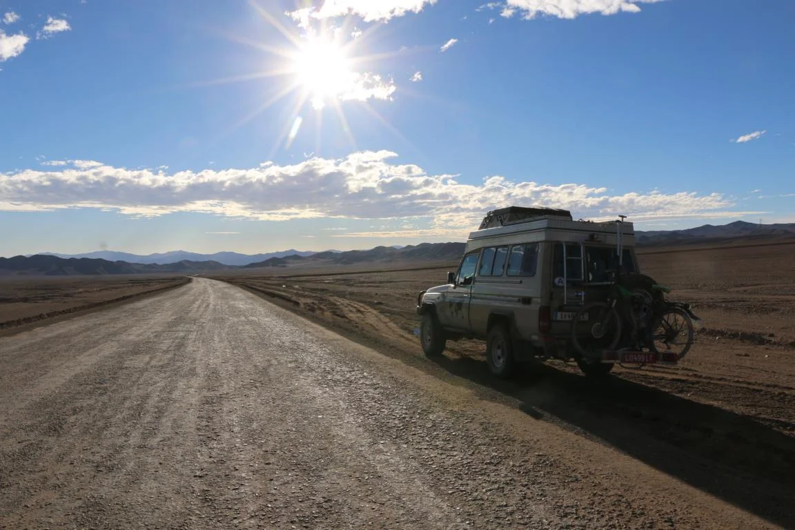
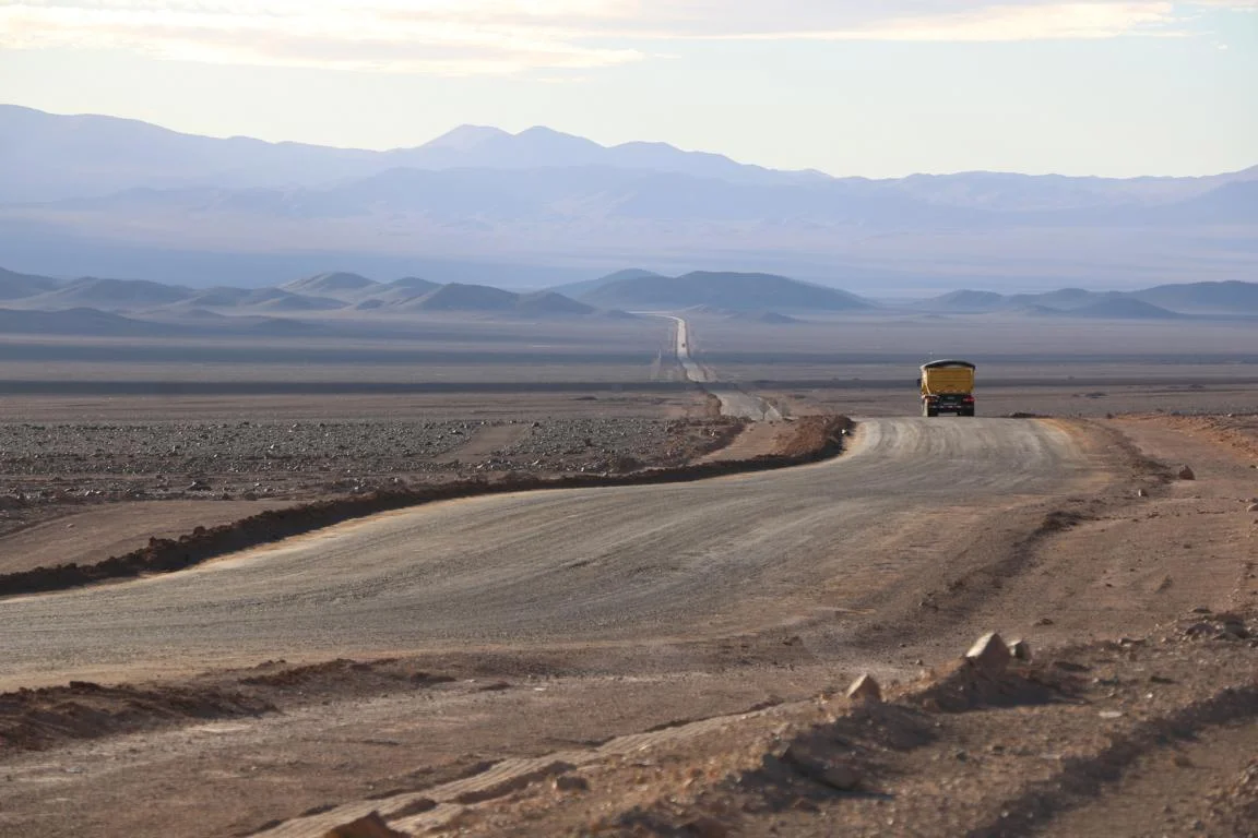
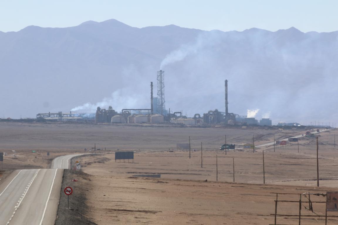
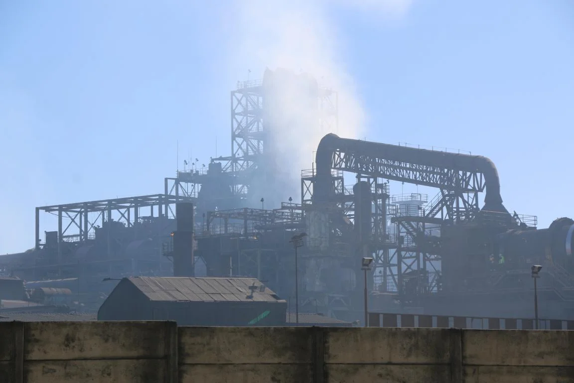
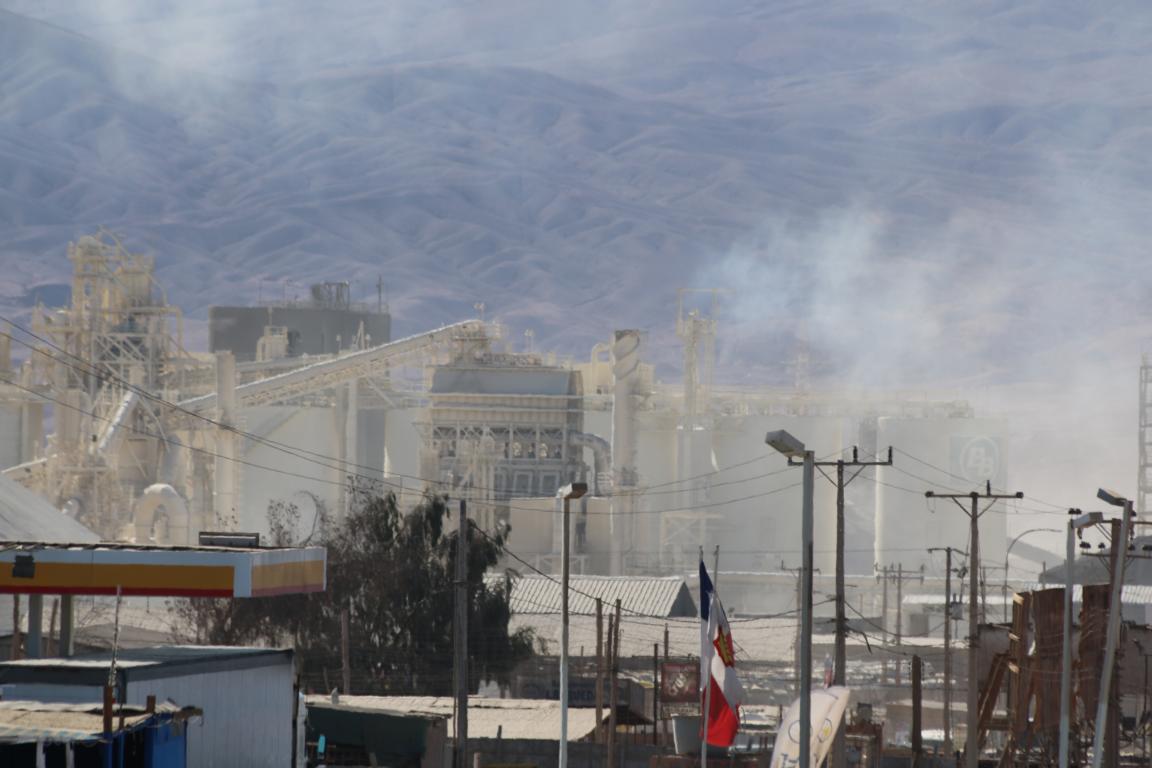
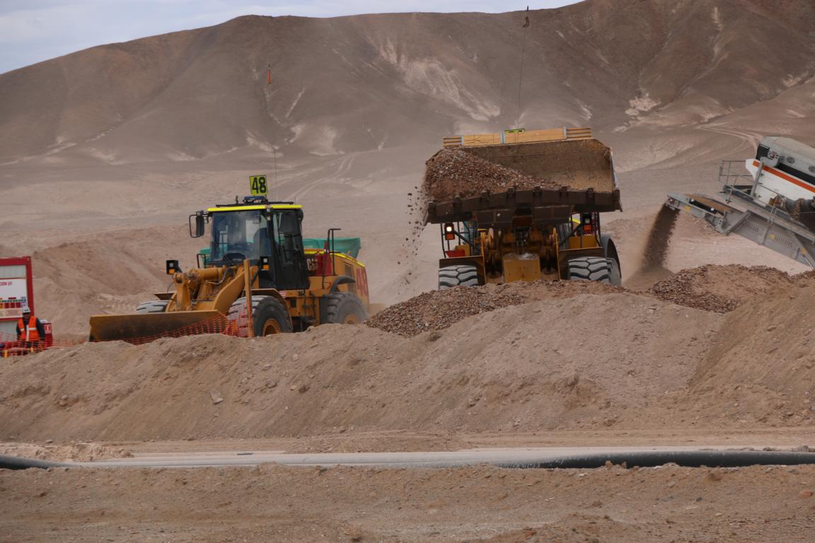
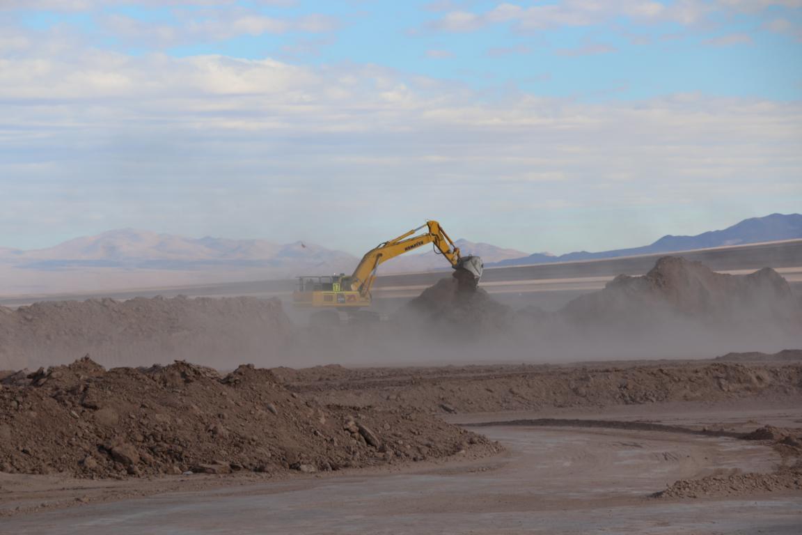
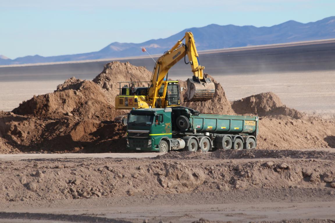
Several big mines are ploughing the earth in search of copper and lithium.
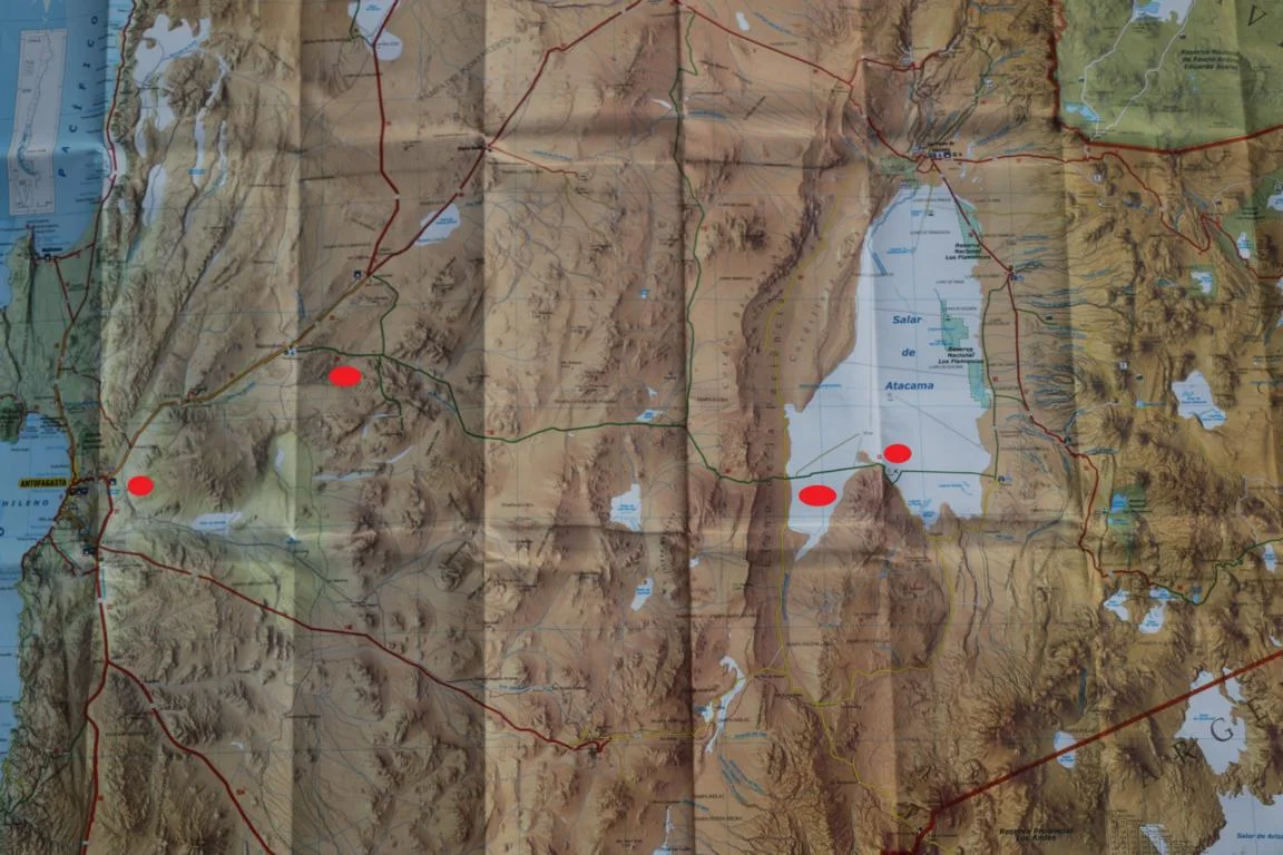
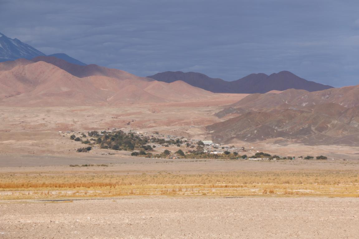
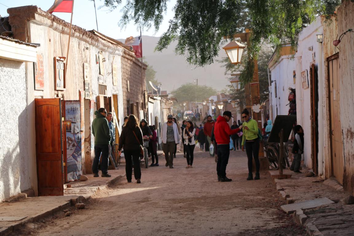
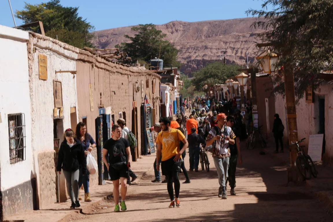
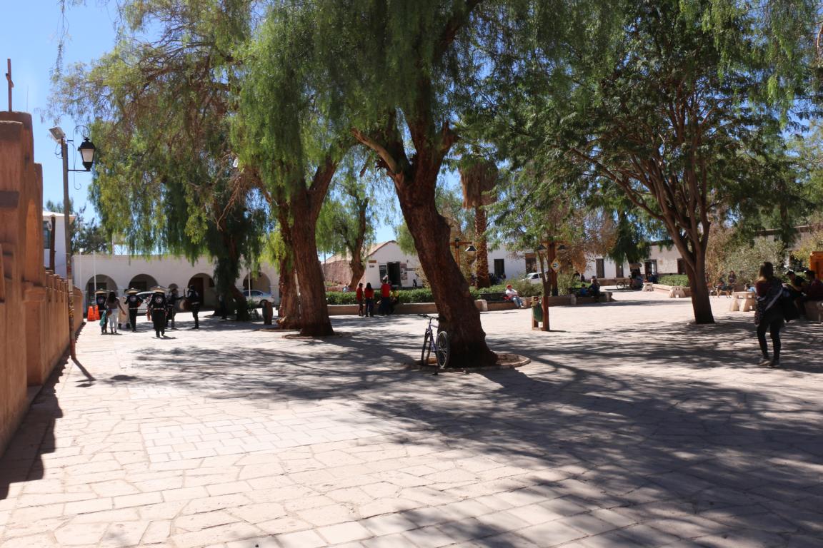
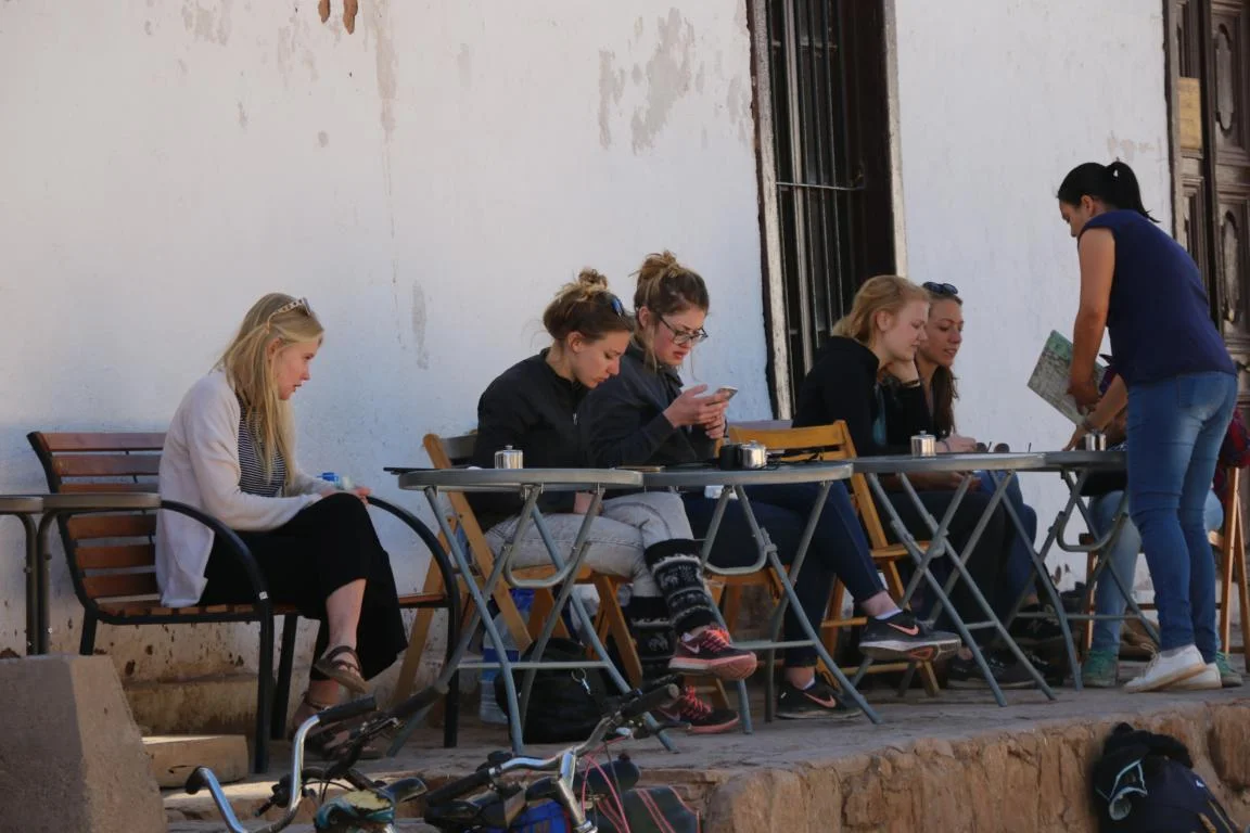
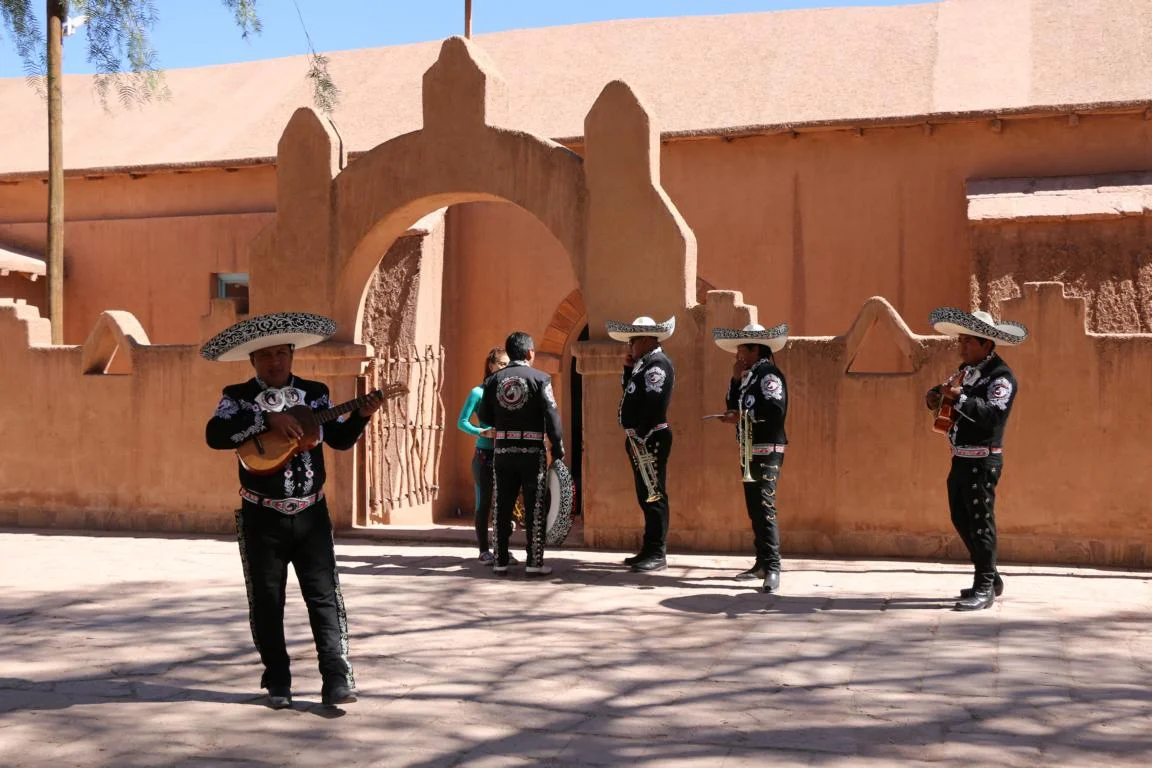
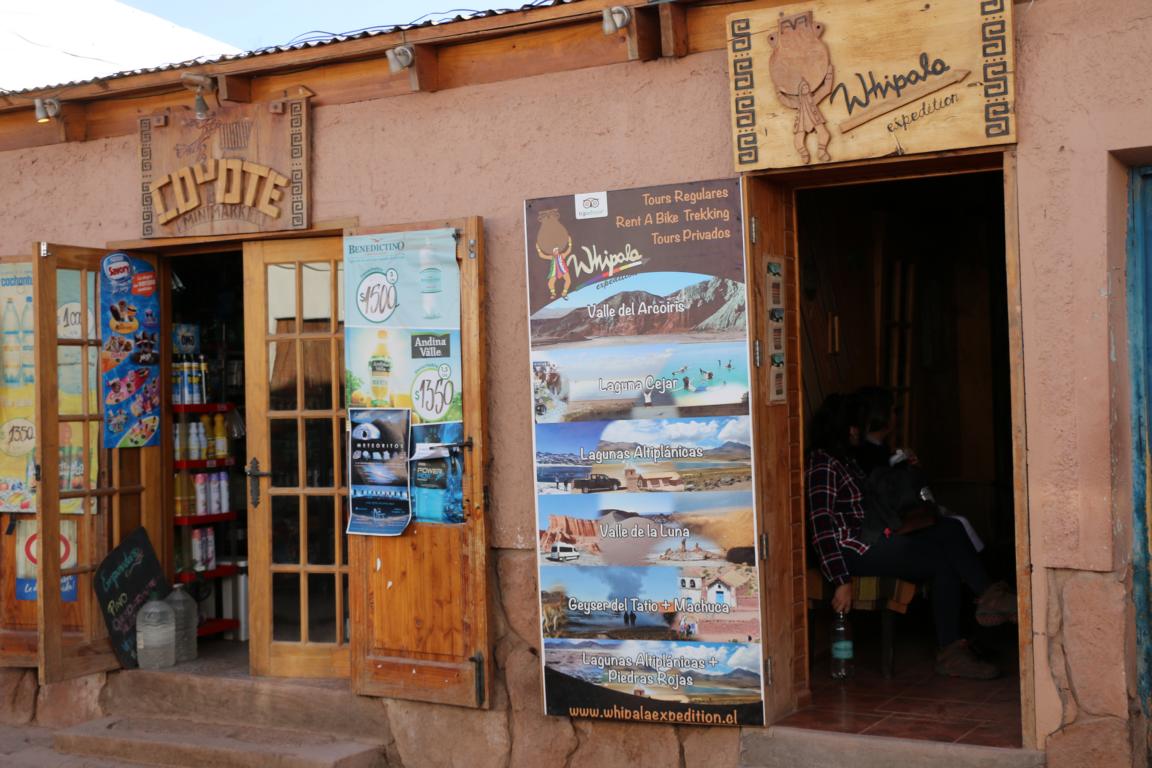
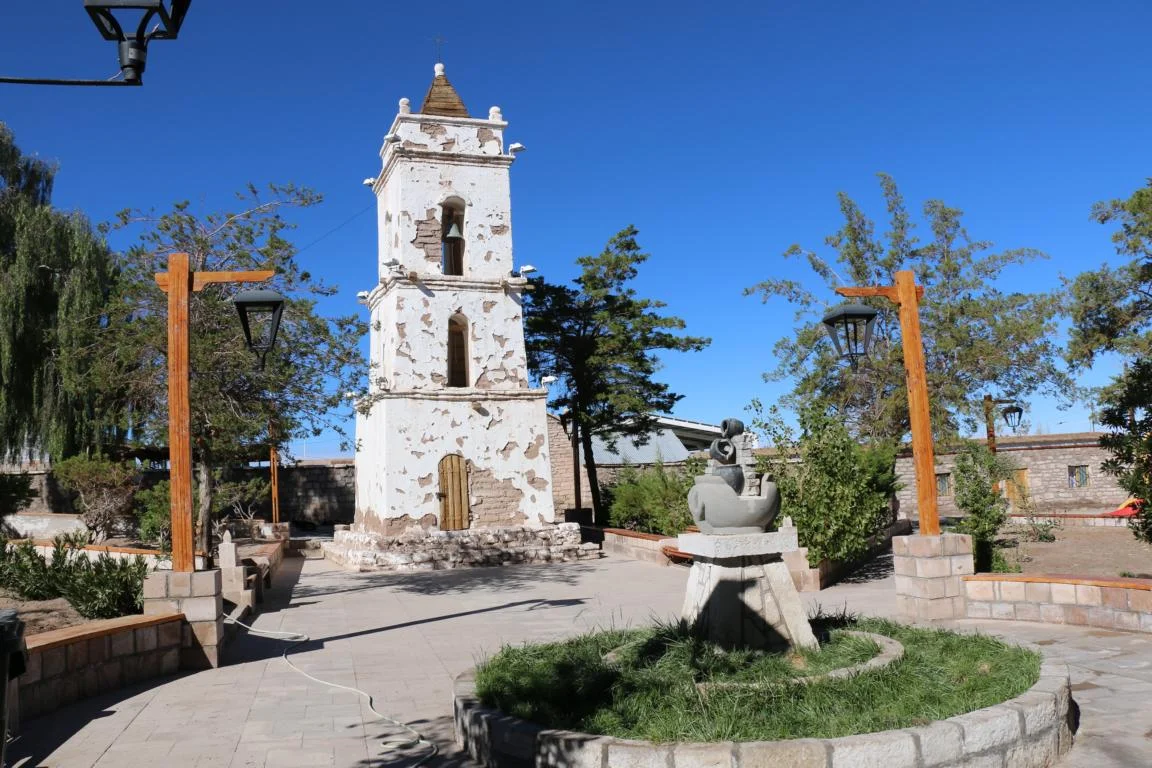
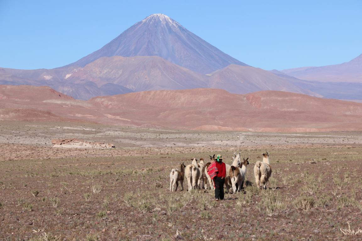
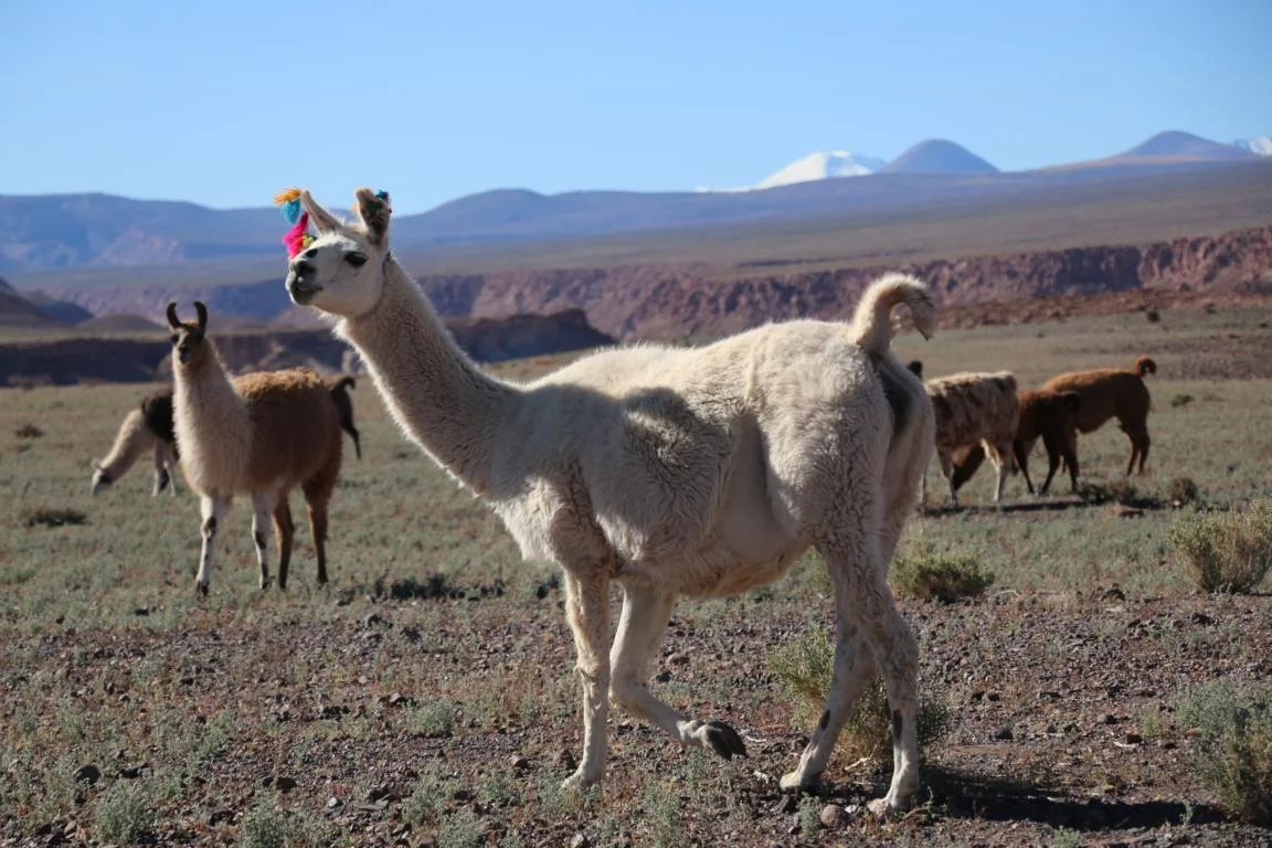
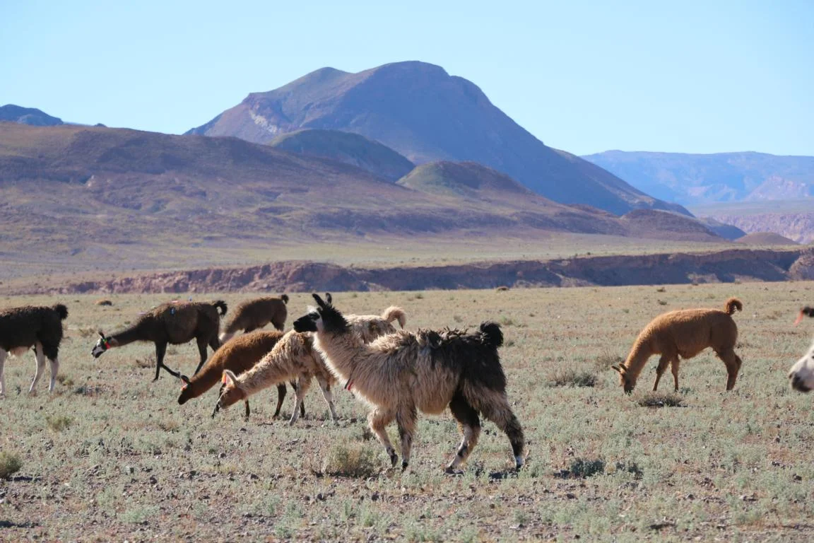
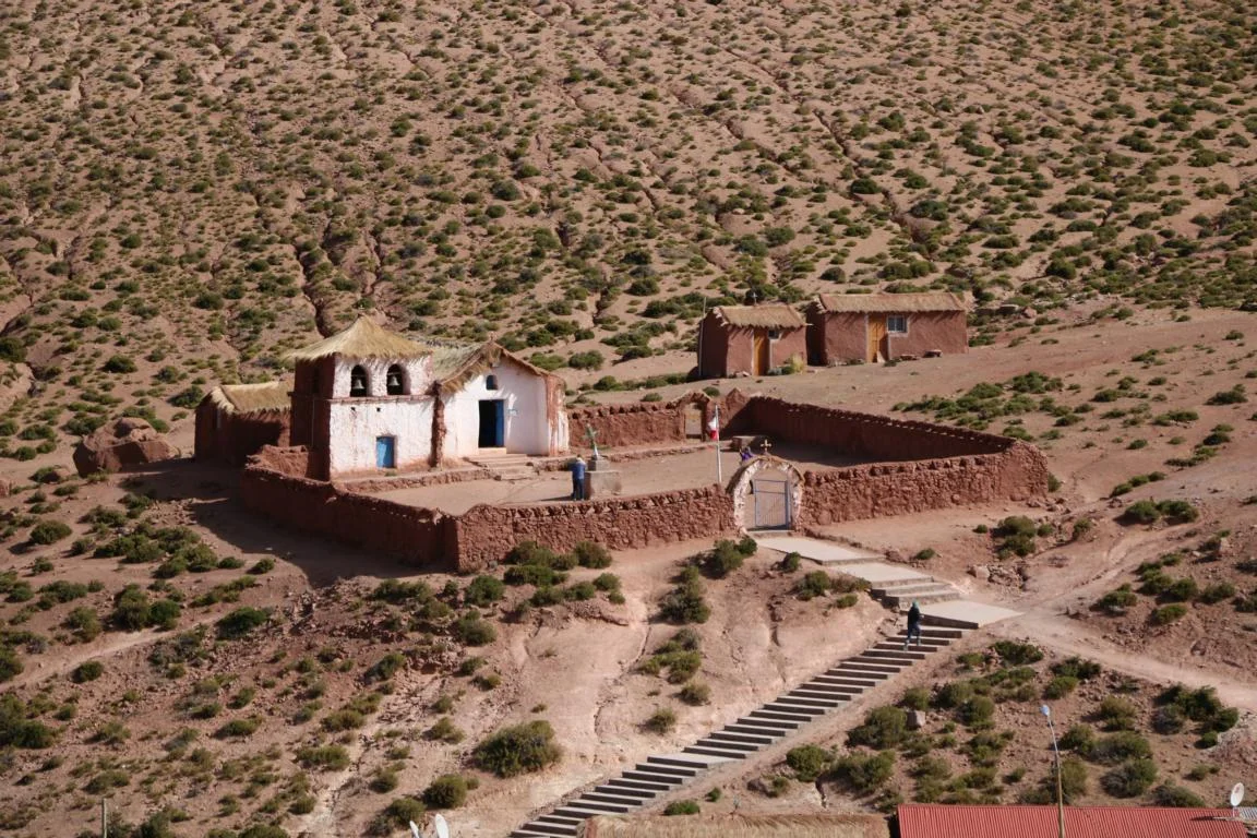
San Pedro de Atacama (5,000 Inhabitants) is located at the northern end of the Salar de Atacama. Dating back 7,000 years the town has become the major hub for tourists to visit the spectacular highlights of the Atacama region. Luckily the town which is pack full with tourists – at least from an architectural point of view – was able to maintain its traditional character.


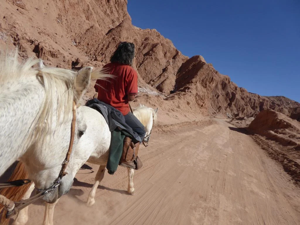
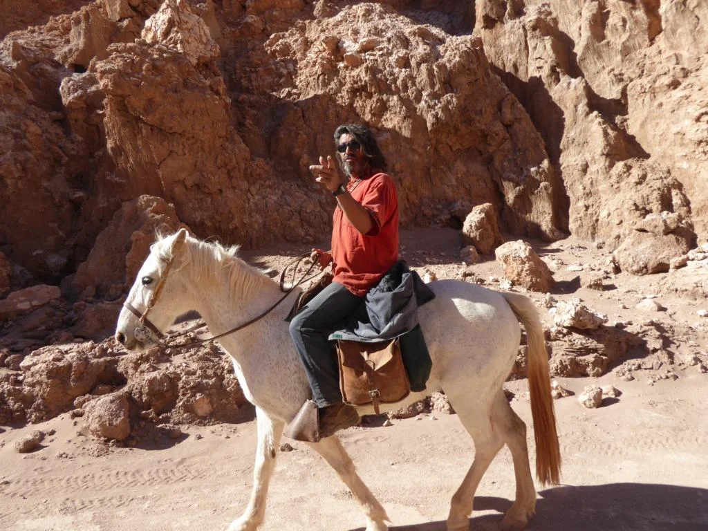
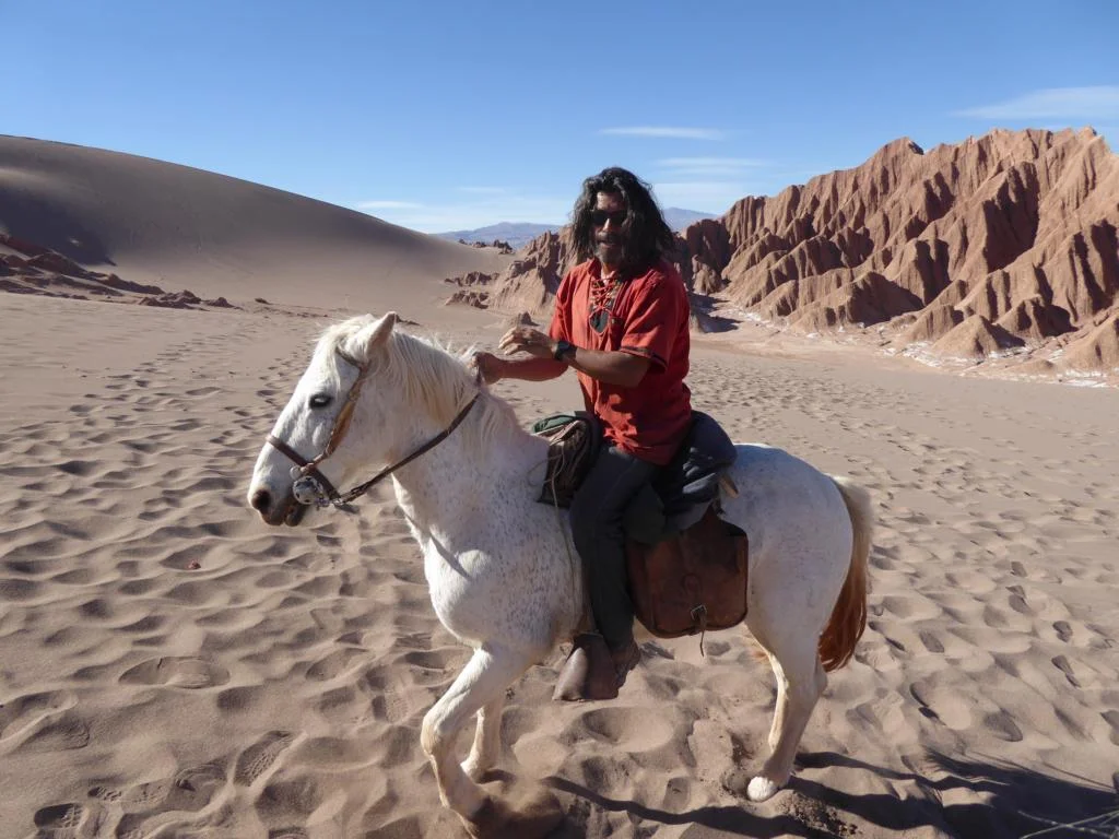
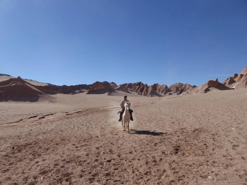
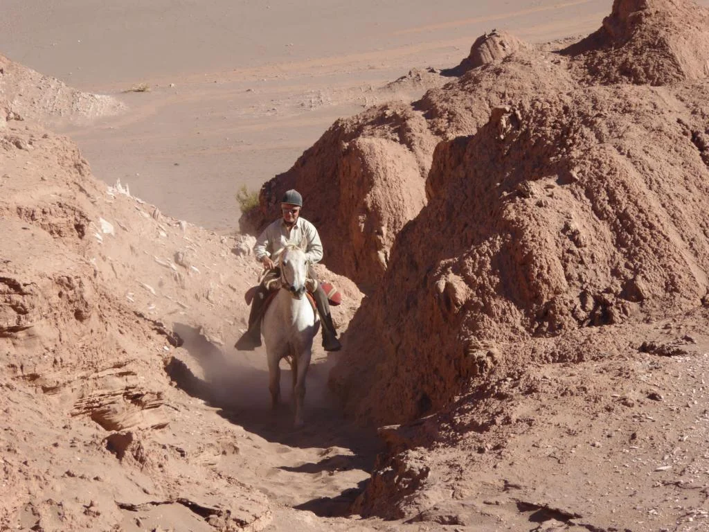
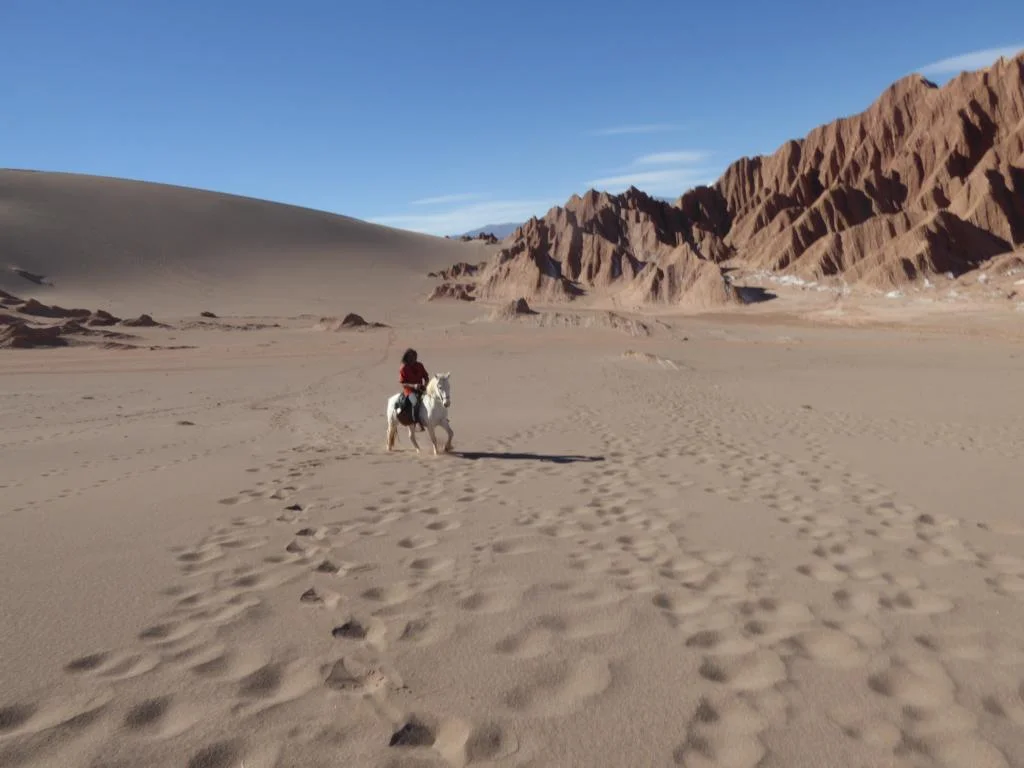
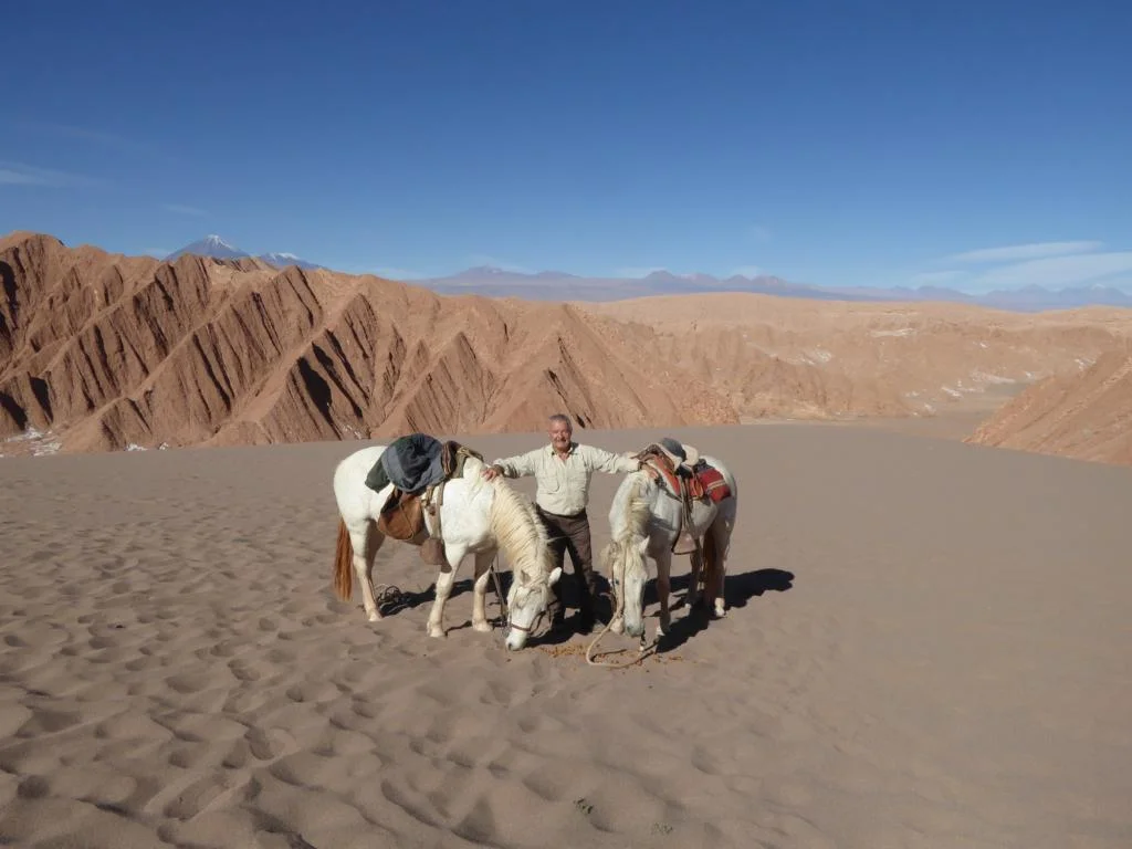
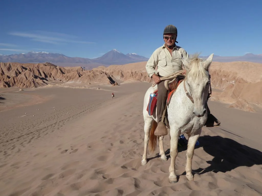
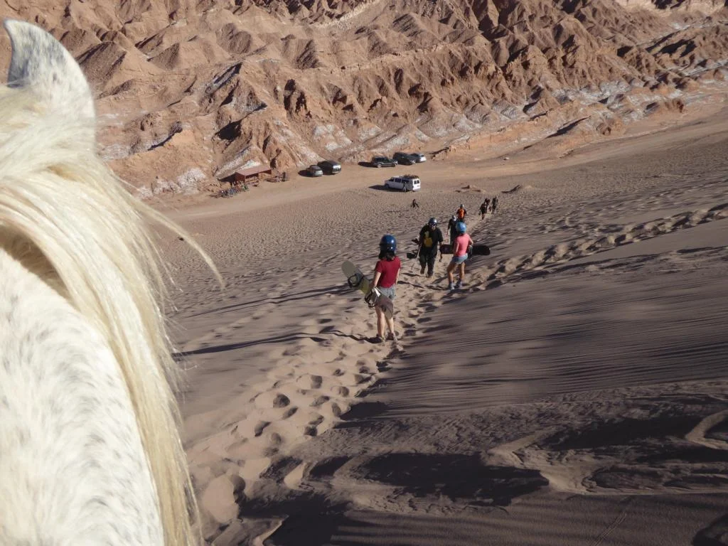
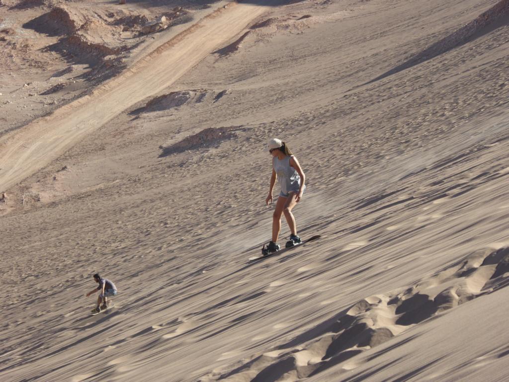
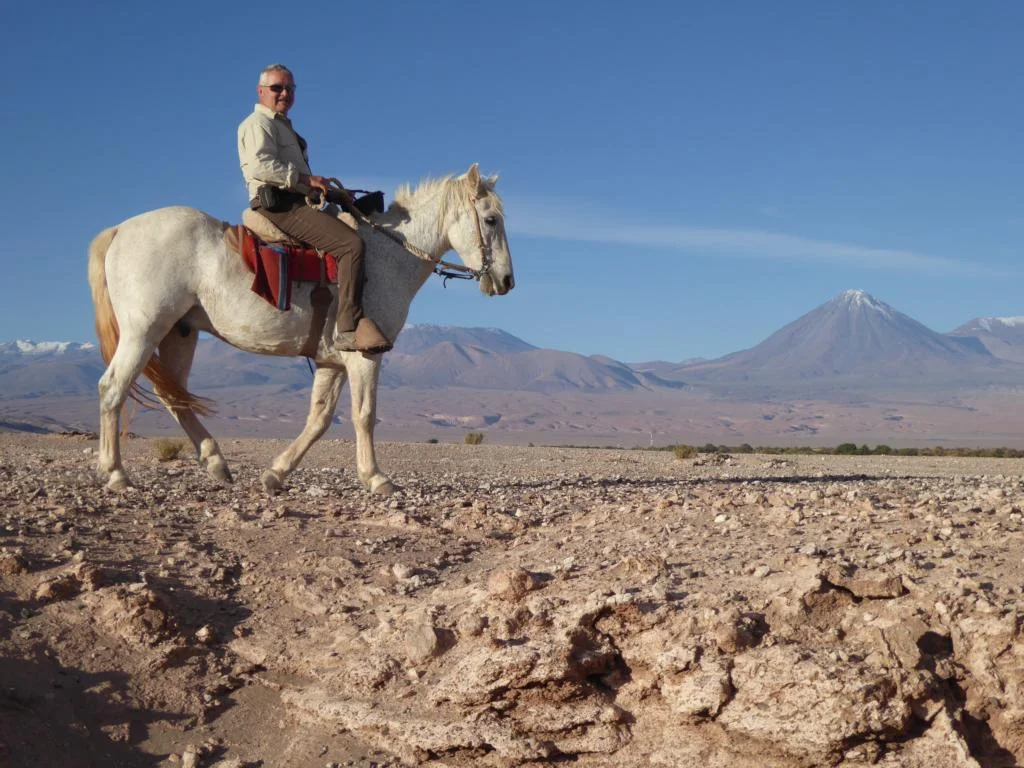
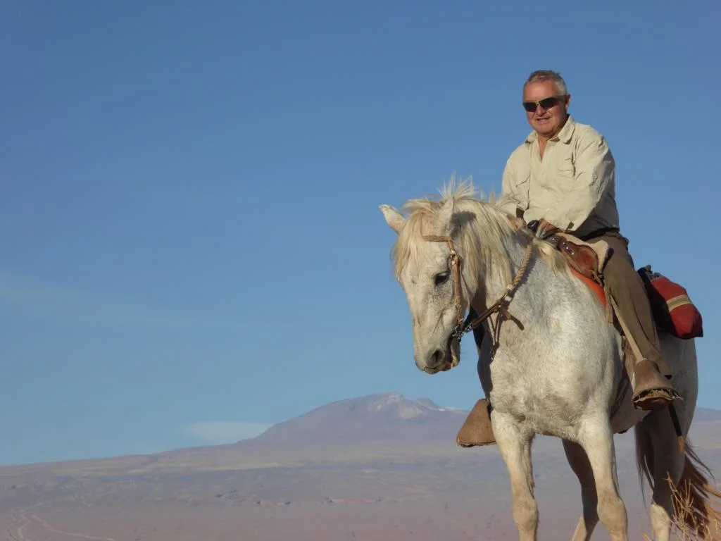
North of the town begins the Valle de la Muerte (Death Valley) which can best be explored by horse, offering boy’s-dream wild-west style riding experiences. Several sand dunes are also used for sand boarding.


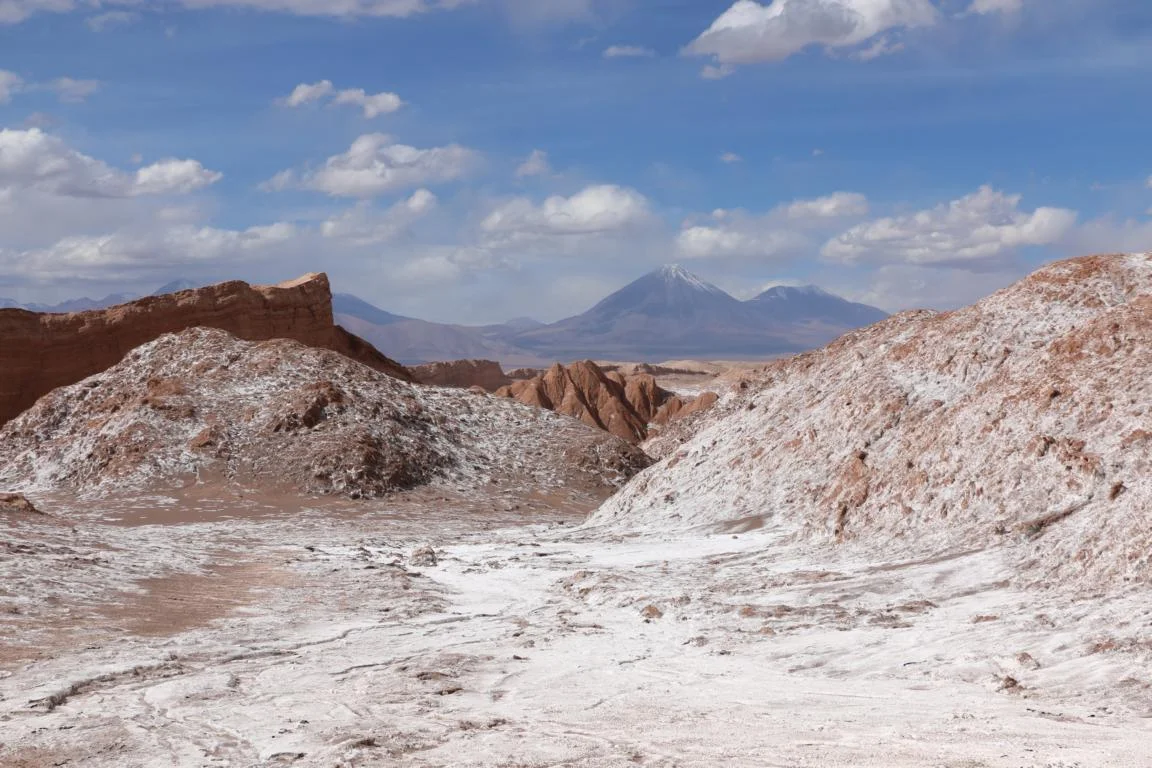
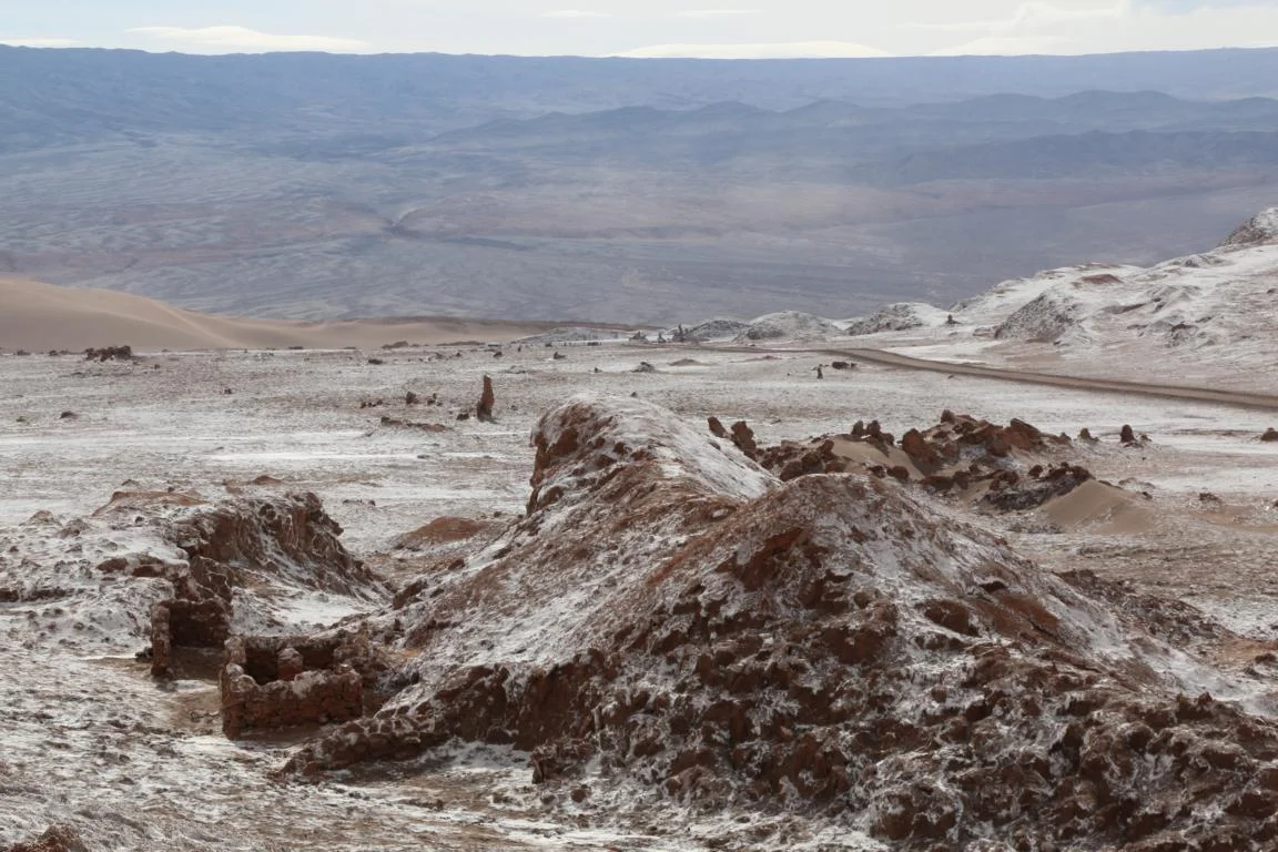
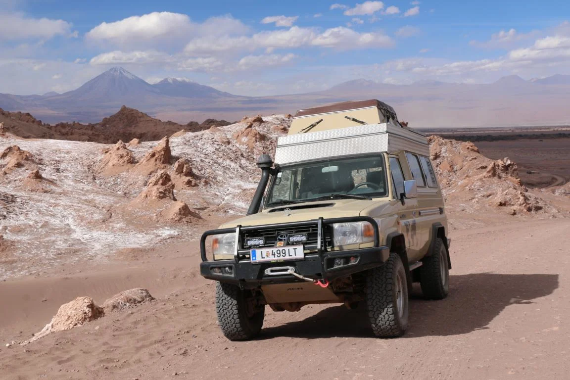
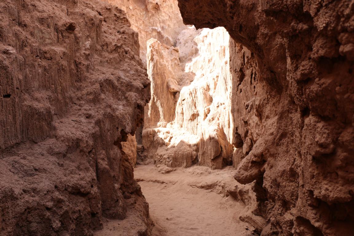
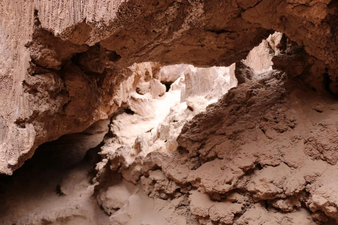
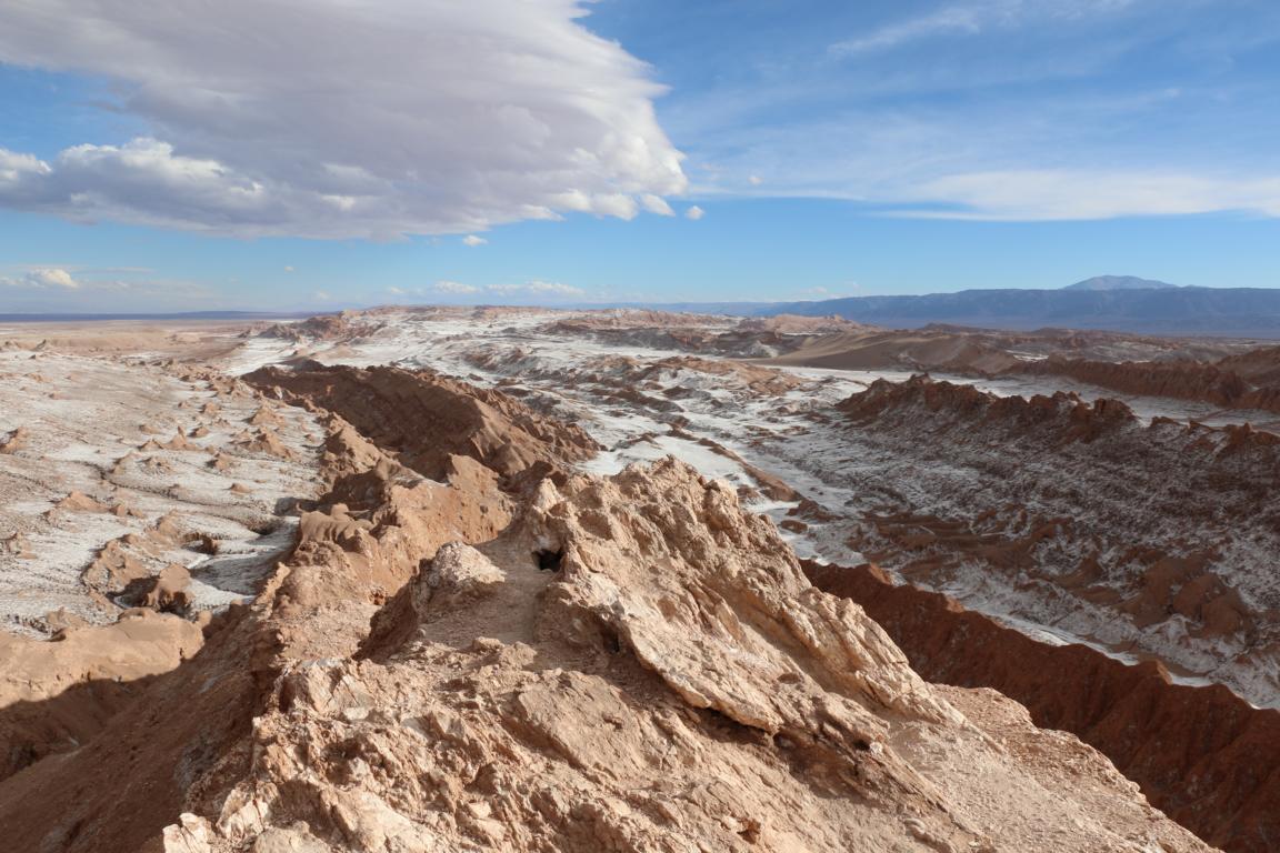
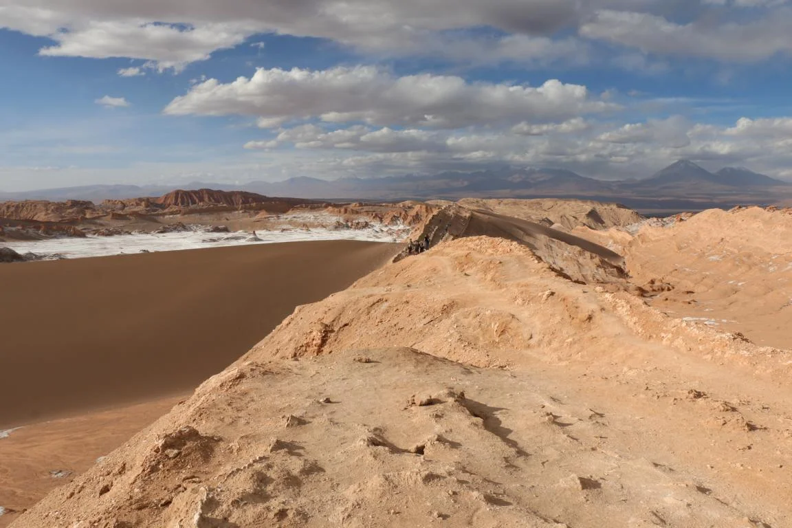
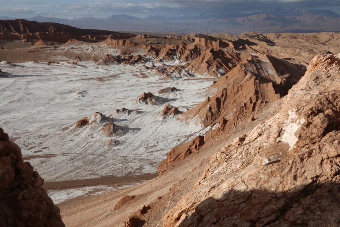
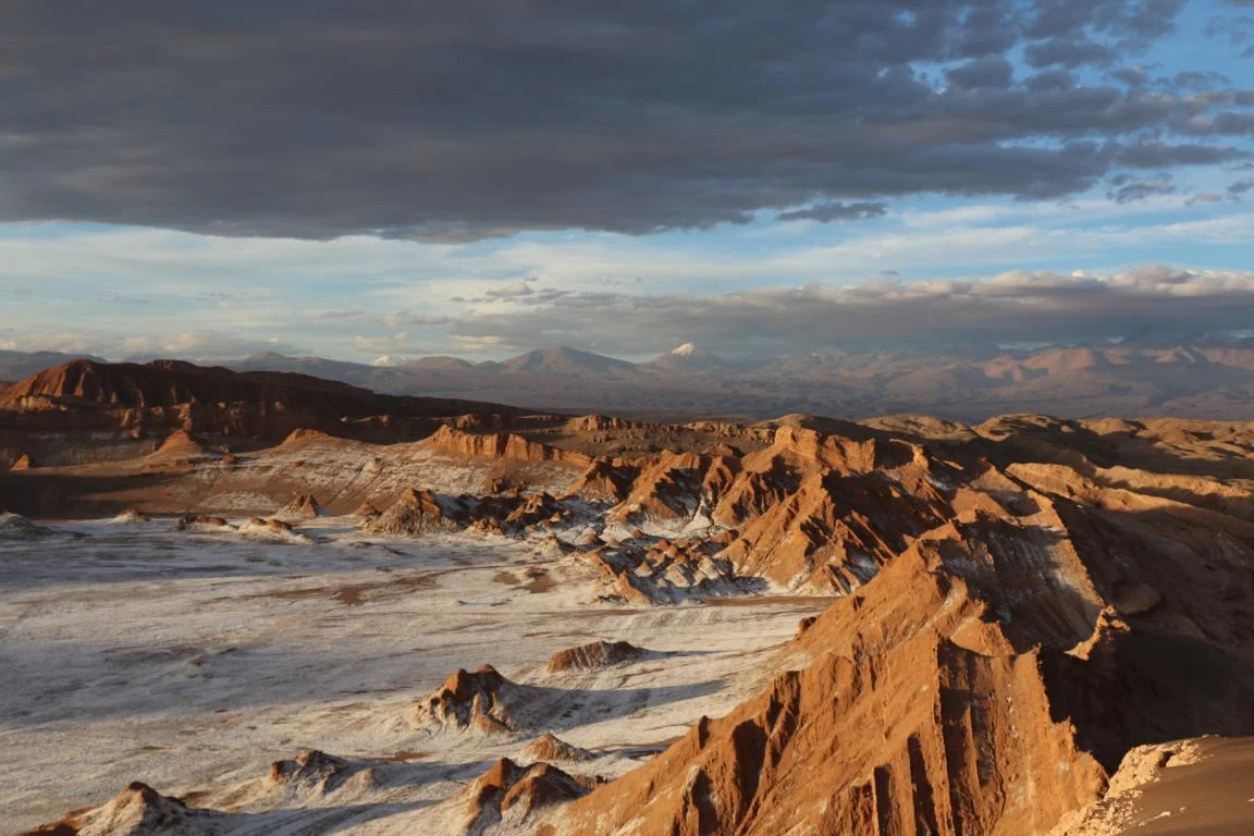
West of San Pedro lays the Moon Valley another must-see with a 150 m long narrow salt cave and scenic valleys. The white parts are salt.
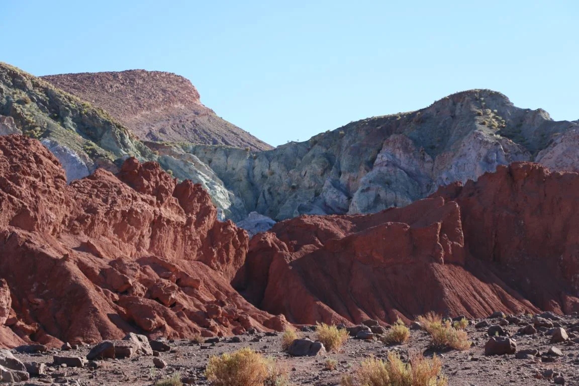
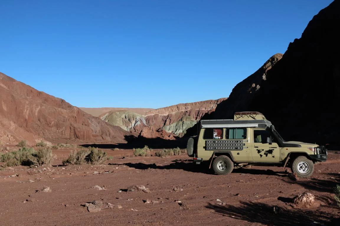
The Rainbow Valley, an hour’s drive north-west of San Pedro is famous for its colourful rock formations.
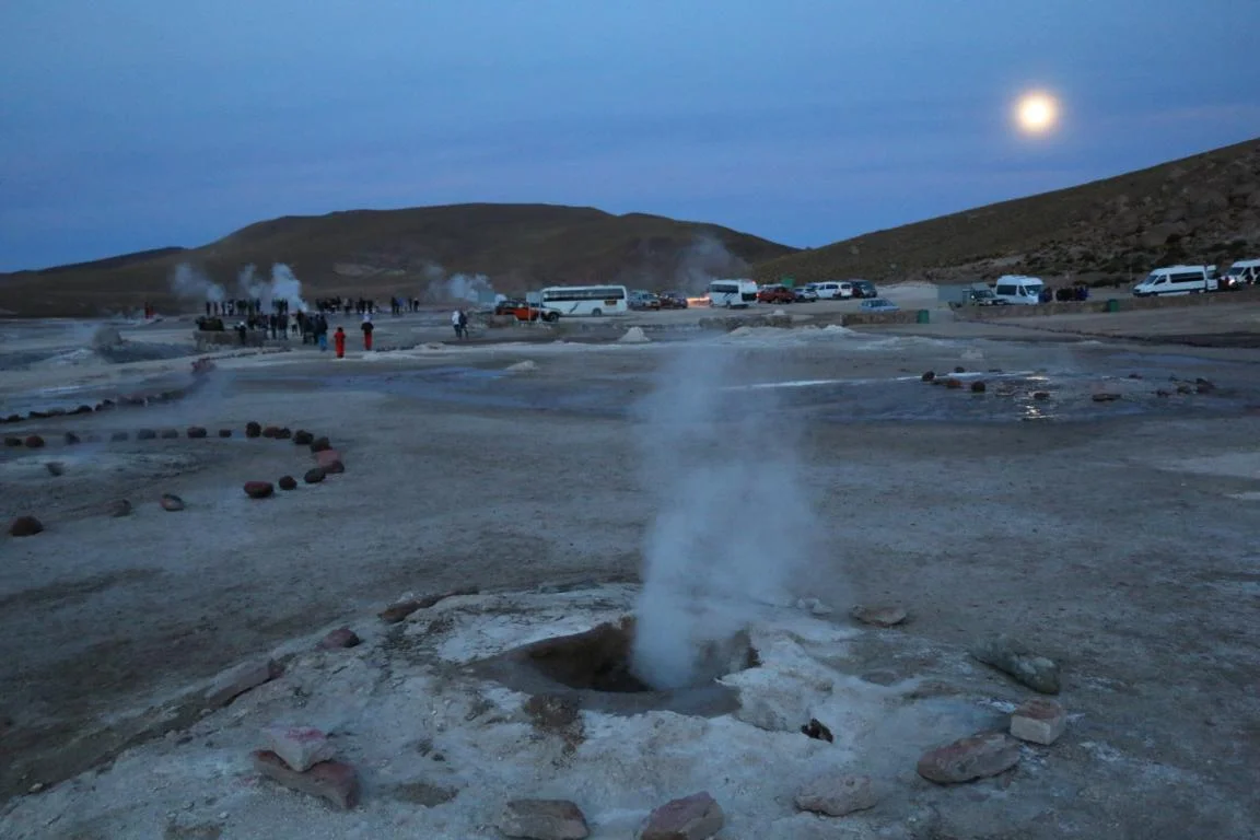
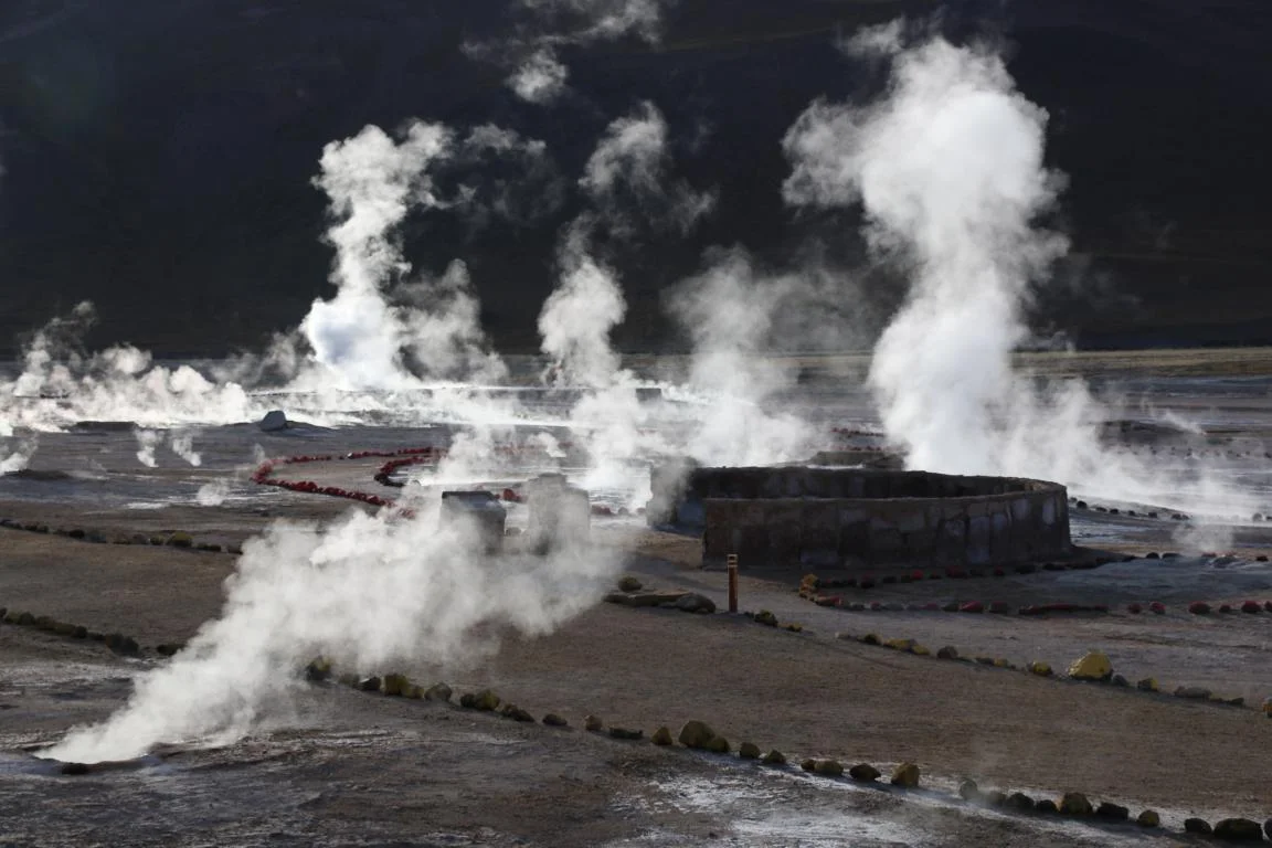
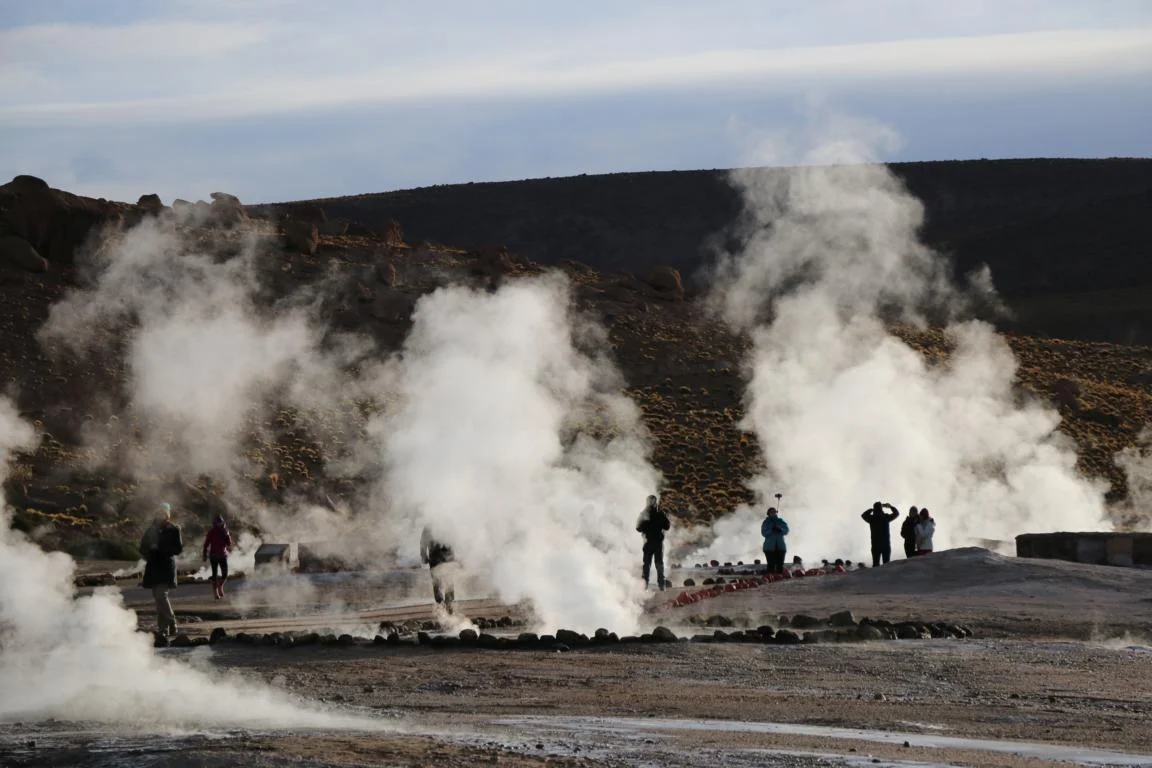
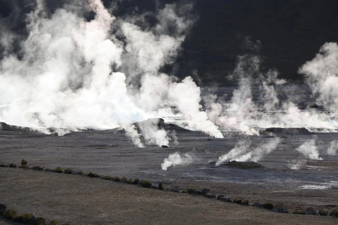
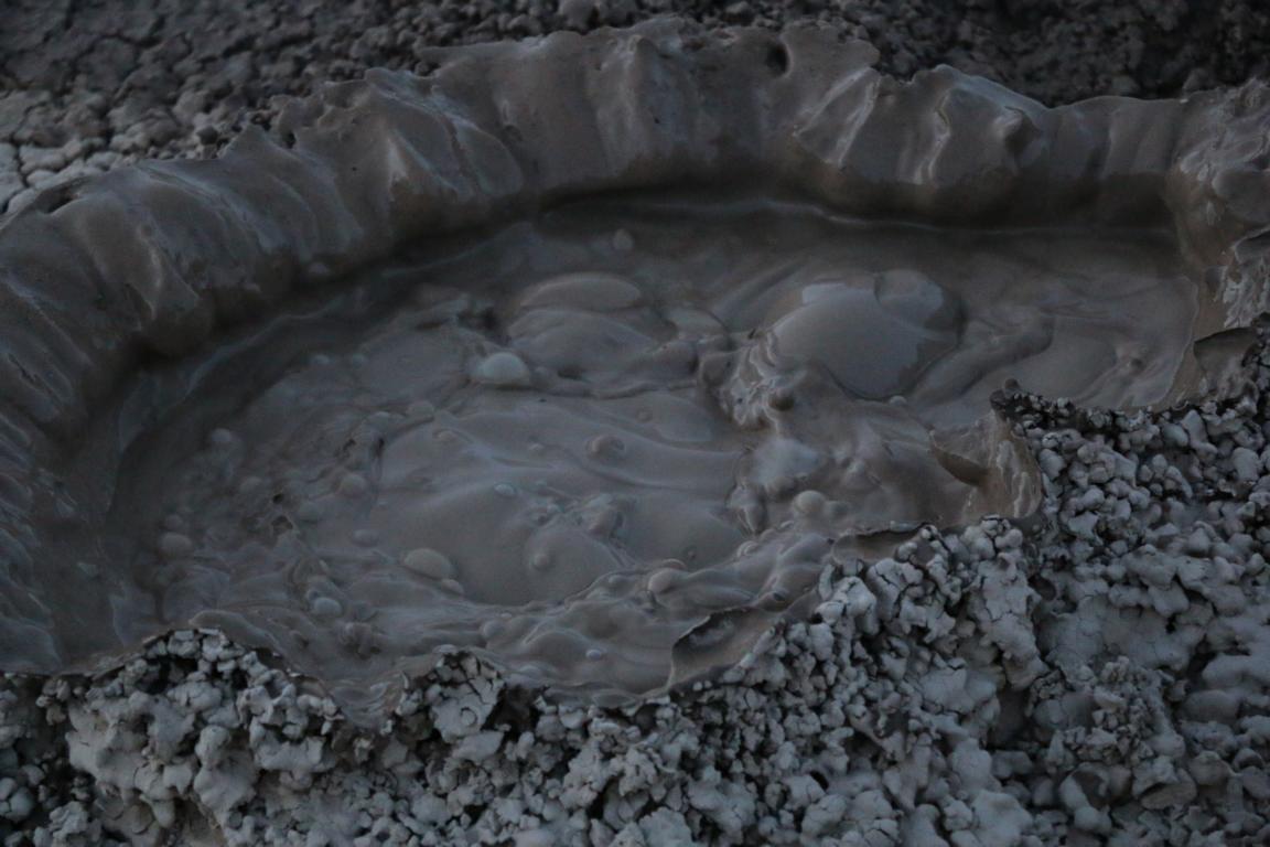
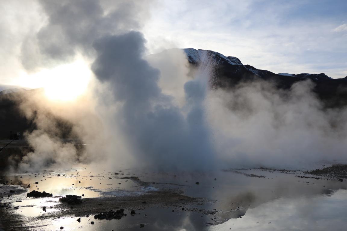
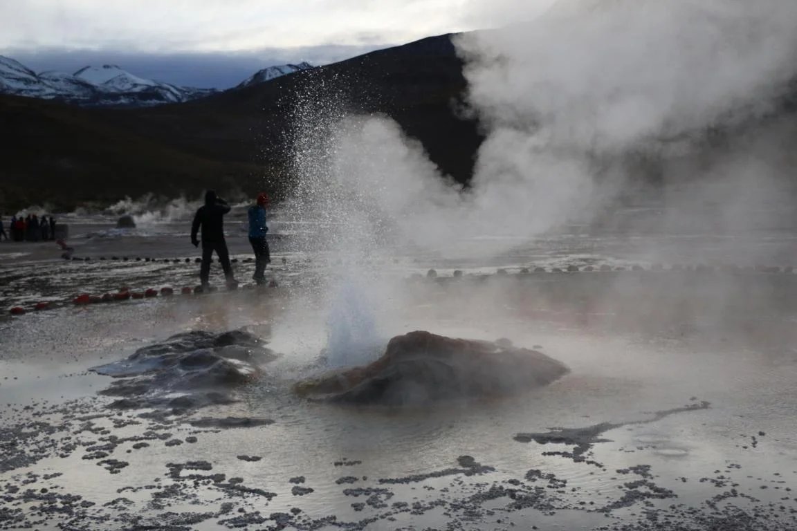
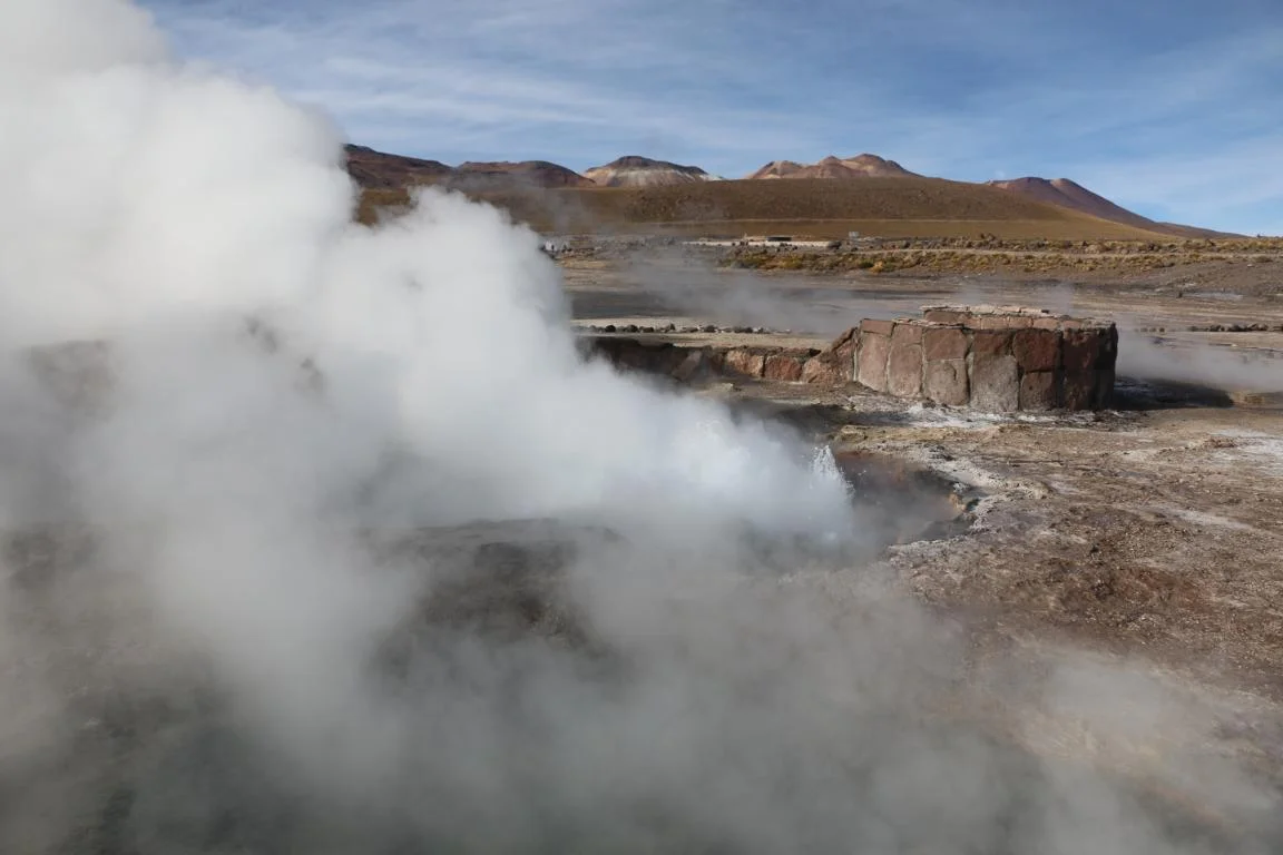
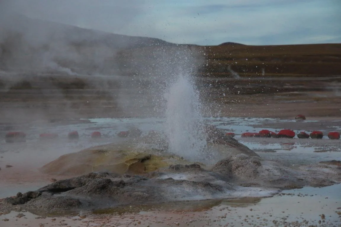
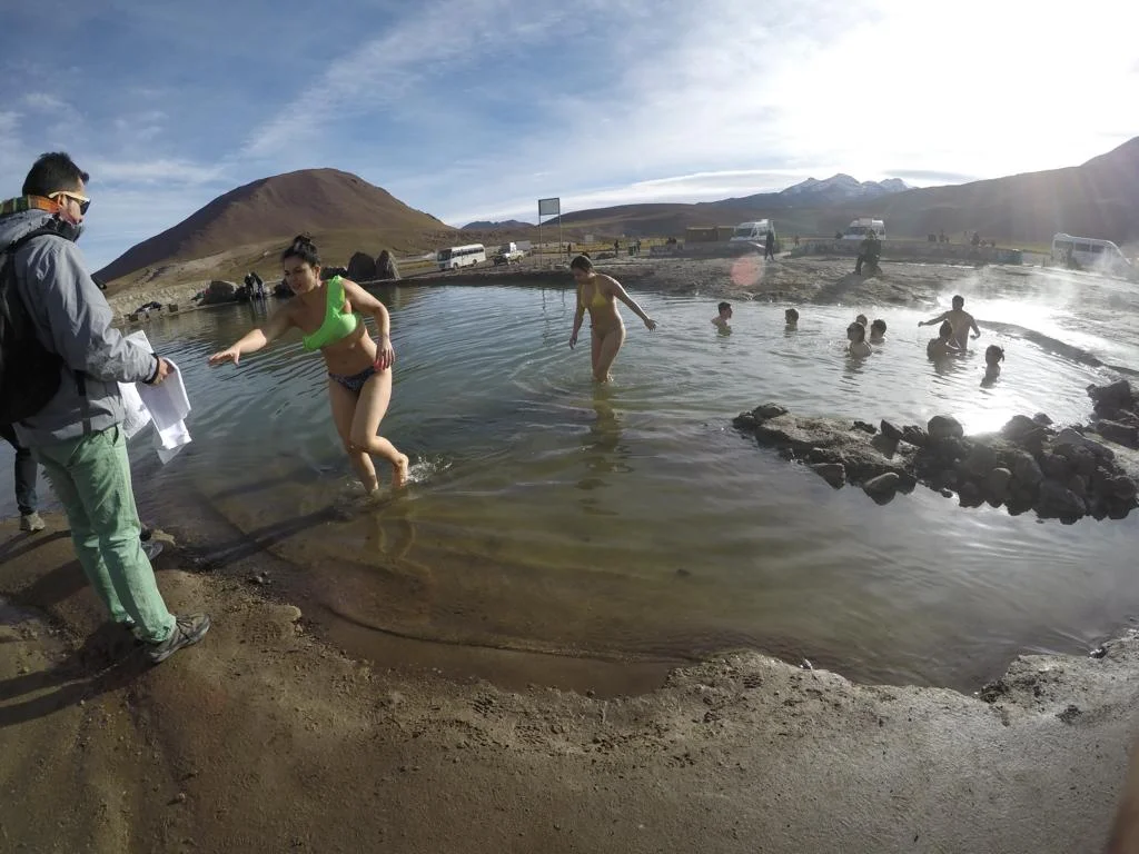
The Tatio Geysers consist of 80 individual geysers located at 4,300 m are the biggest in the southern hemisphere. Due to the altitude the water is already boiling at 85 degrees.
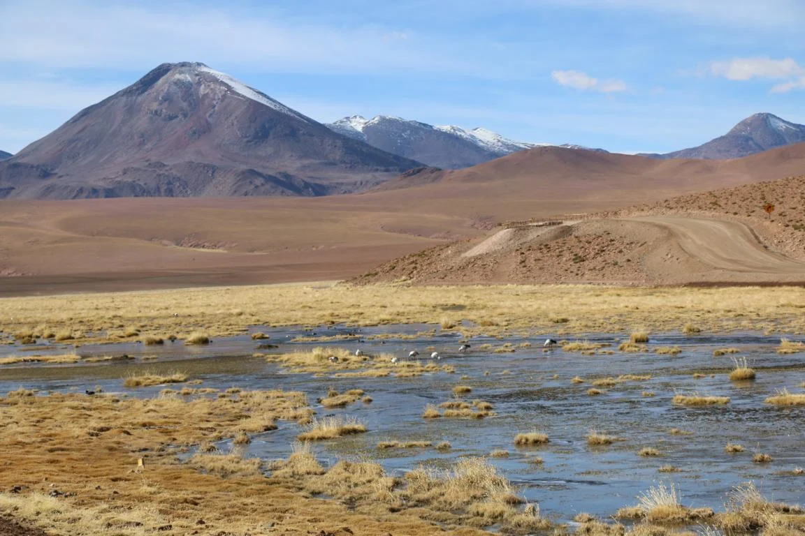
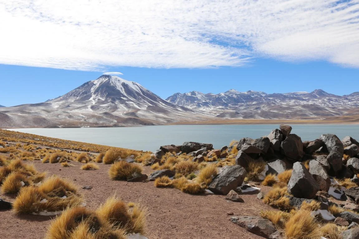
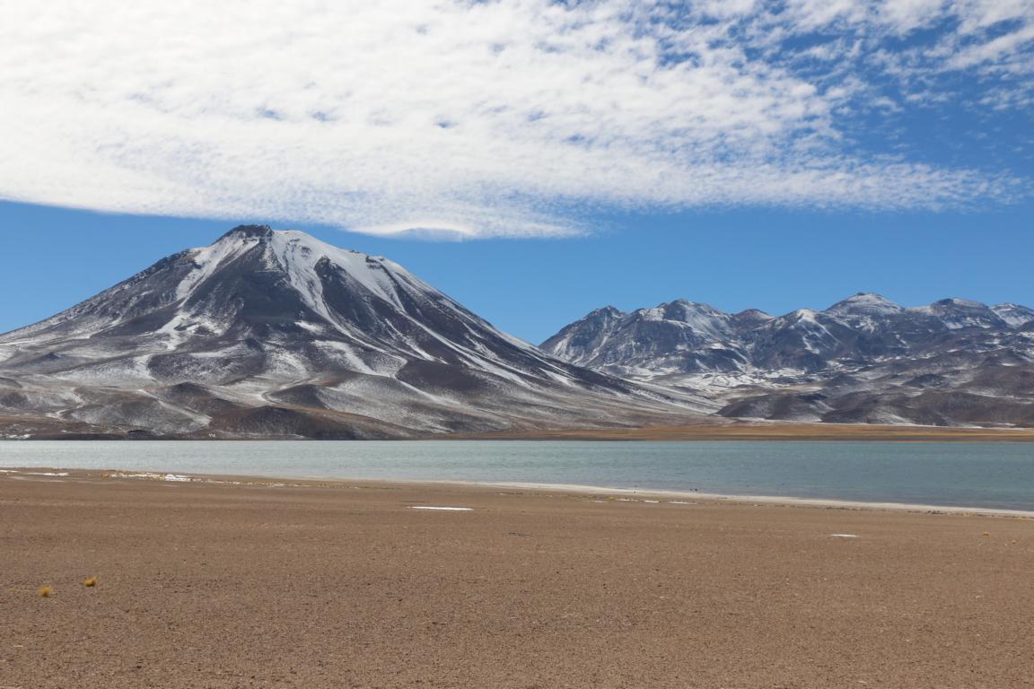
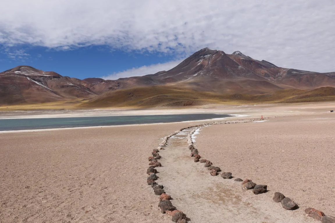
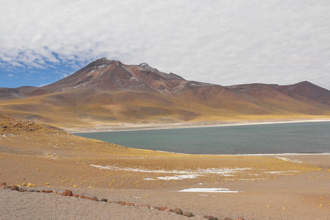
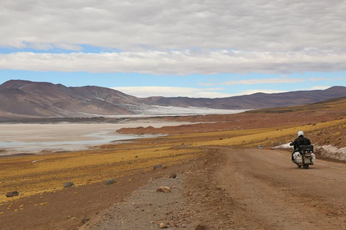
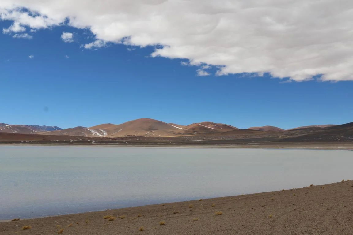
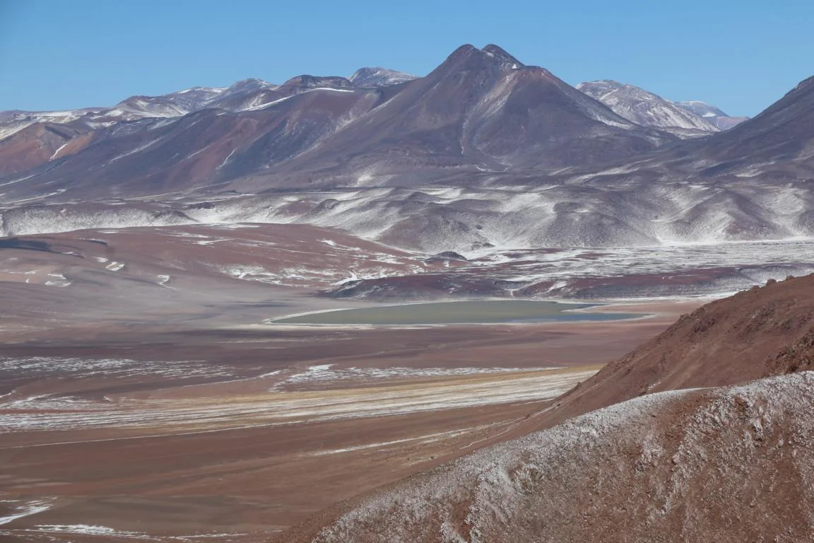
Three hours drive south of San Pedro lay the Laguna Miscanti and the Salar de Capur both at an altitude of 4,400 m.
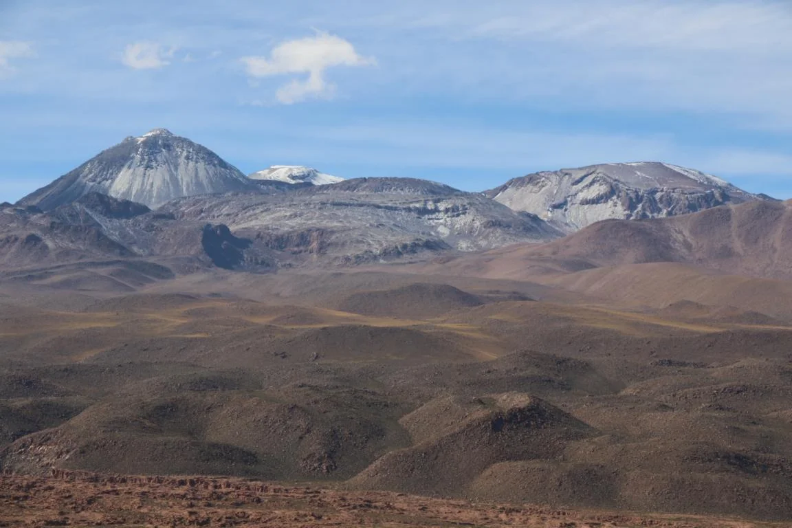
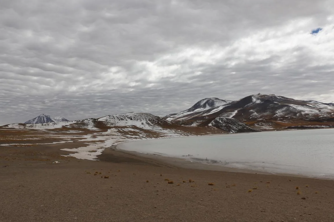
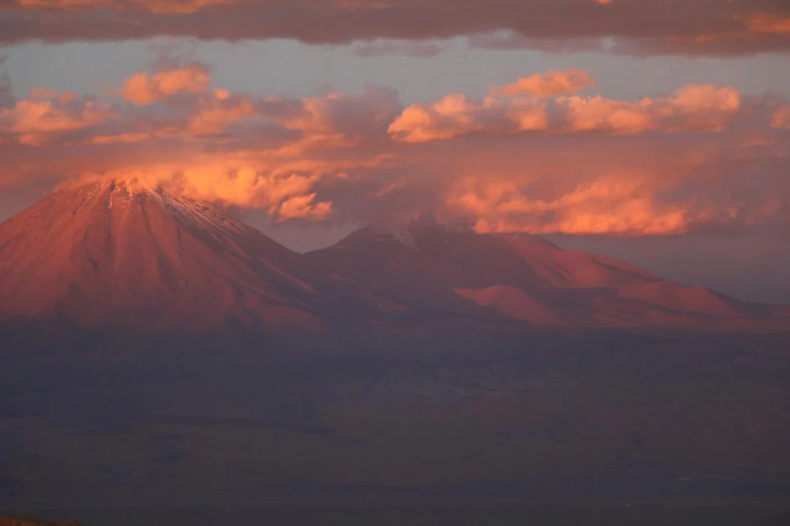
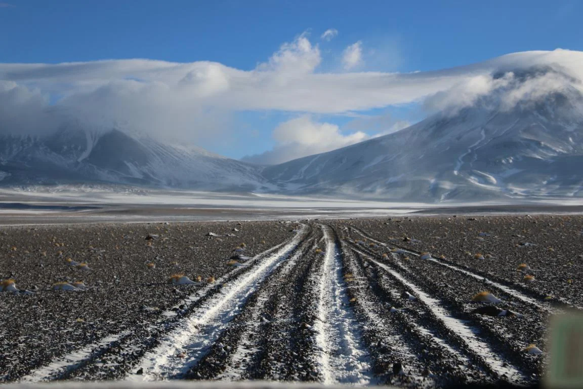
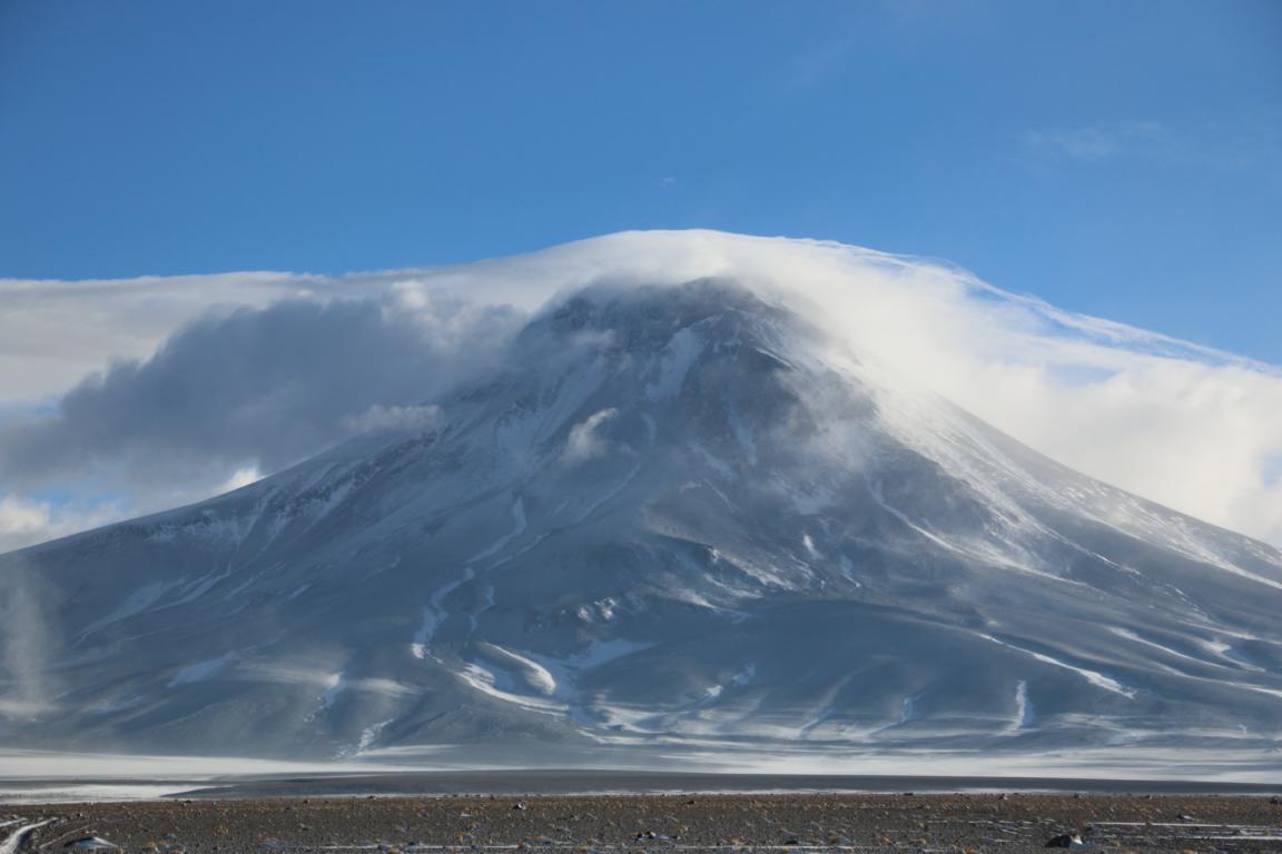
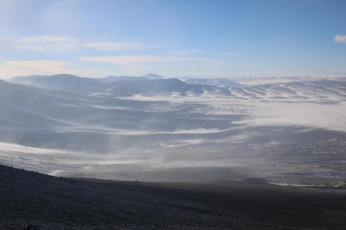
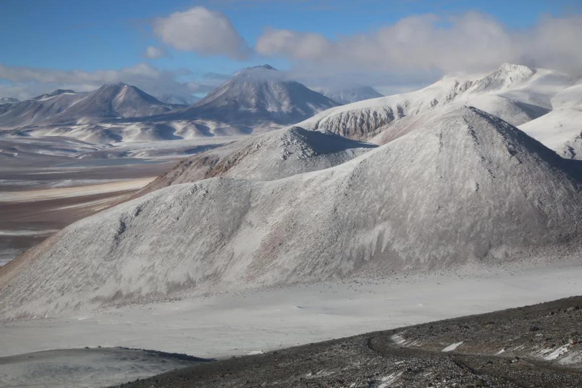
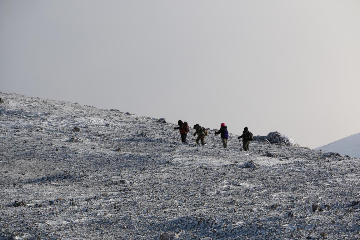
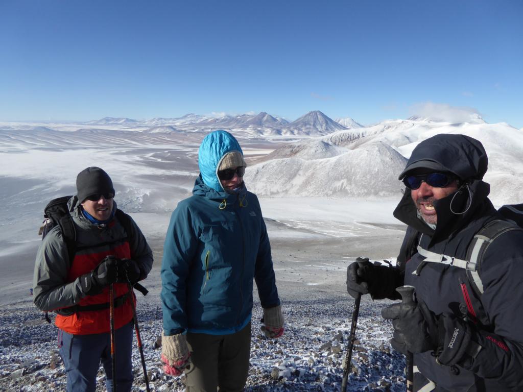
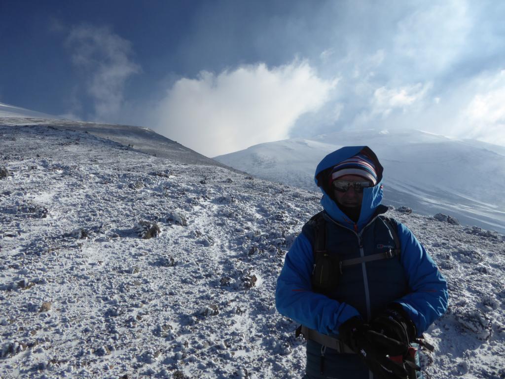
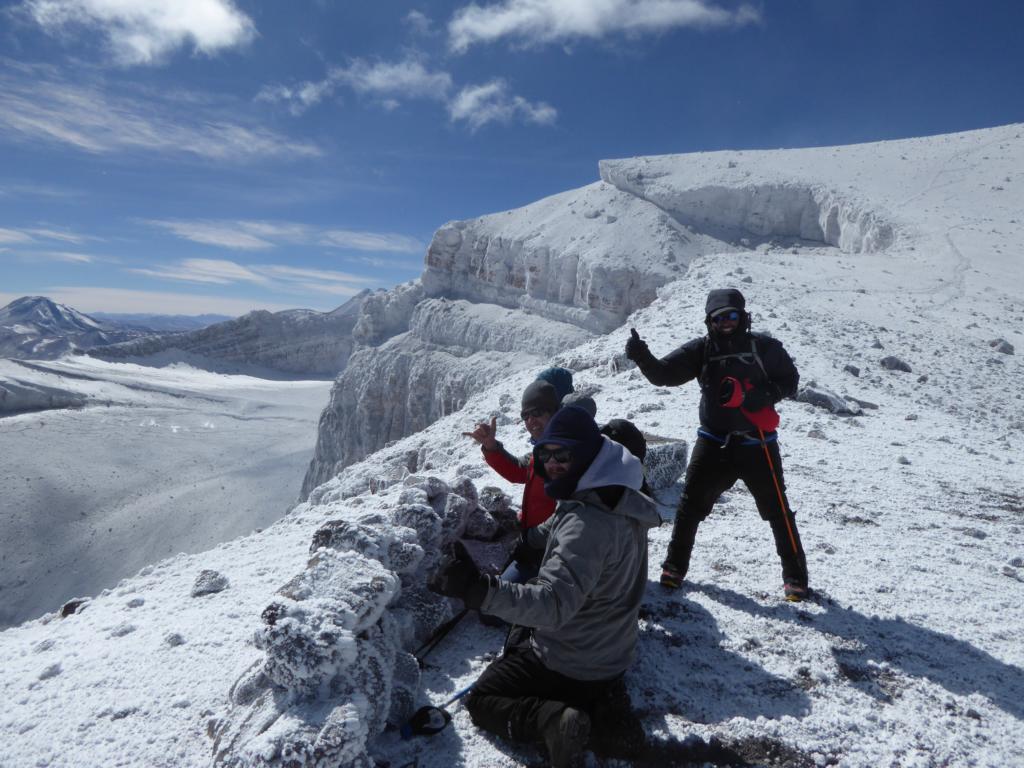
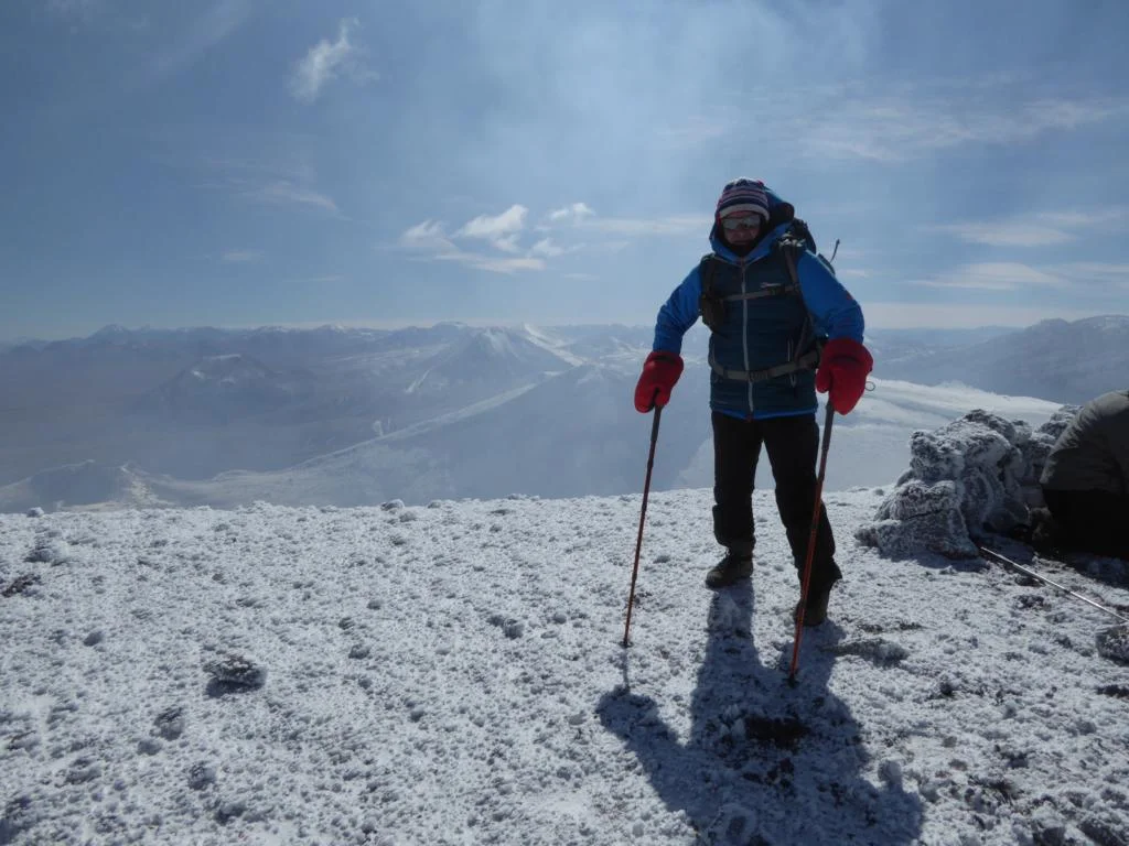
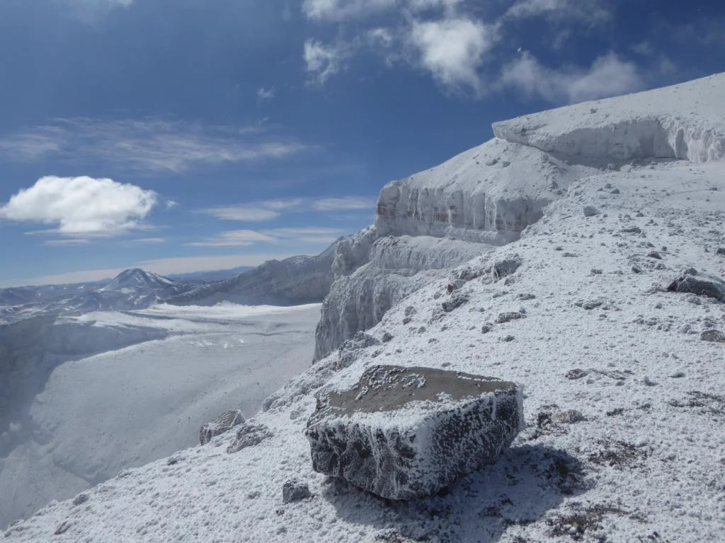
The Volcano Lascar, two driving hours south of San Pedro, is the most active Volcano in North-Chile. Its last major eruption took place in 1993. Climbing to the crater rim at 5.463m the major challenge were the low temperature (minus 13 degrees Celsius) and the wind gusts of over 80 km. This time the white parts are snow.

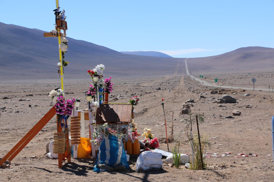
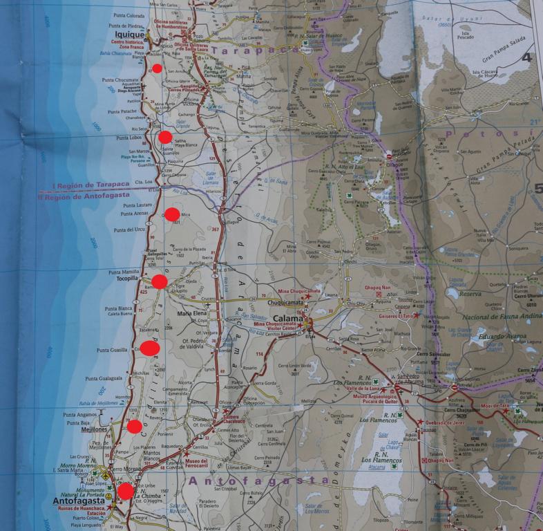
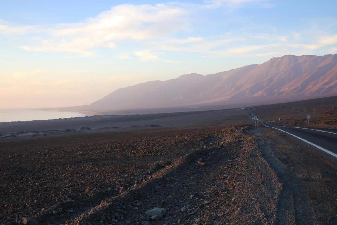
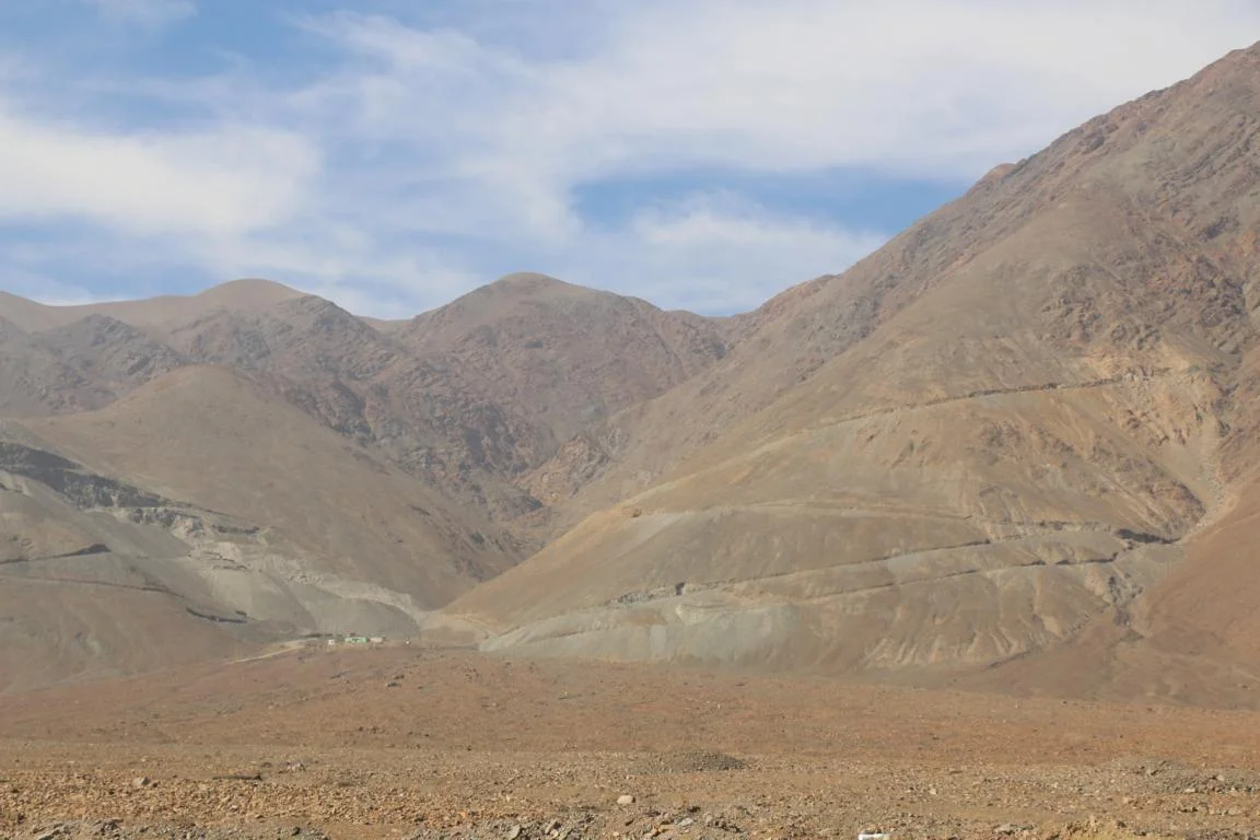
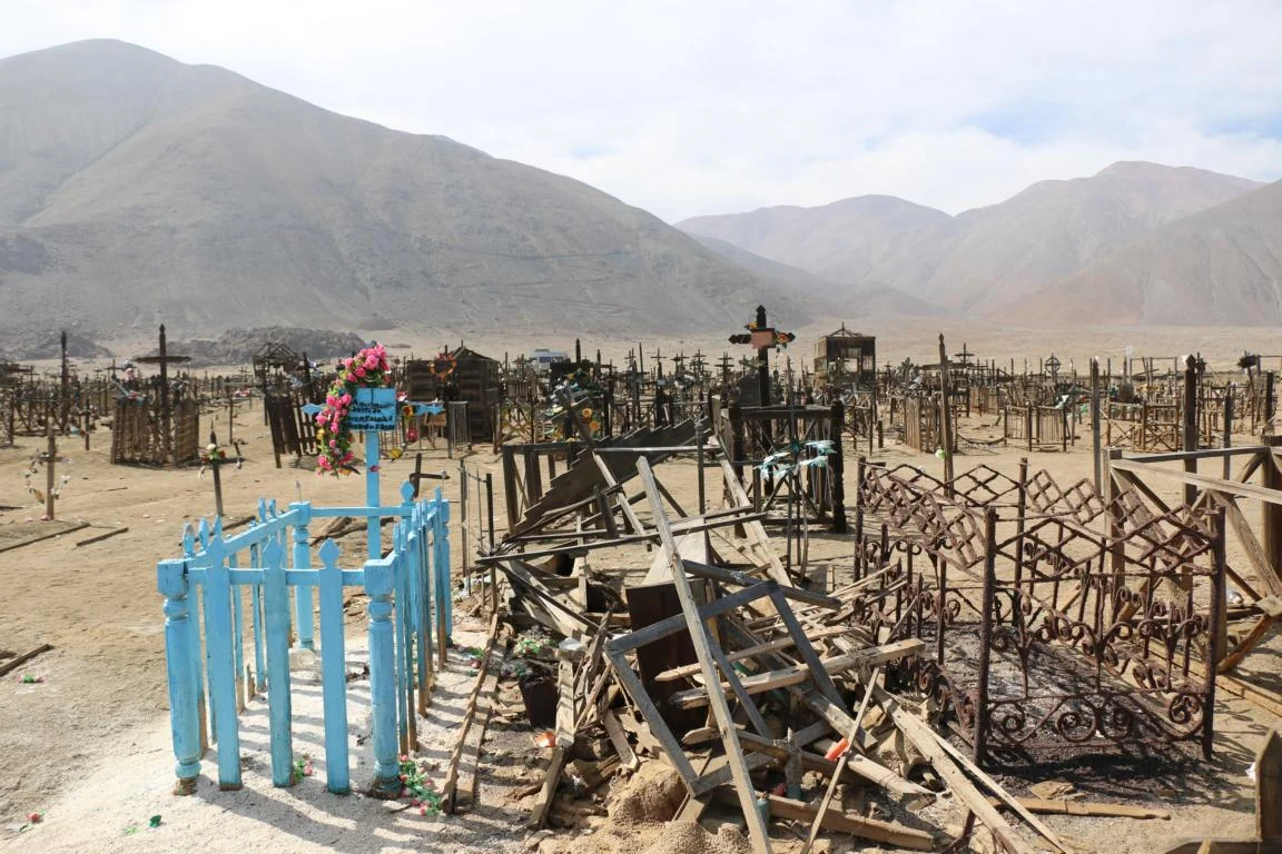
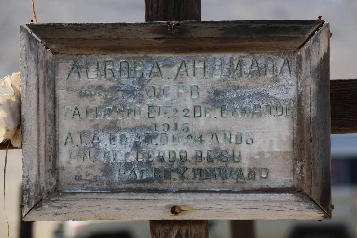
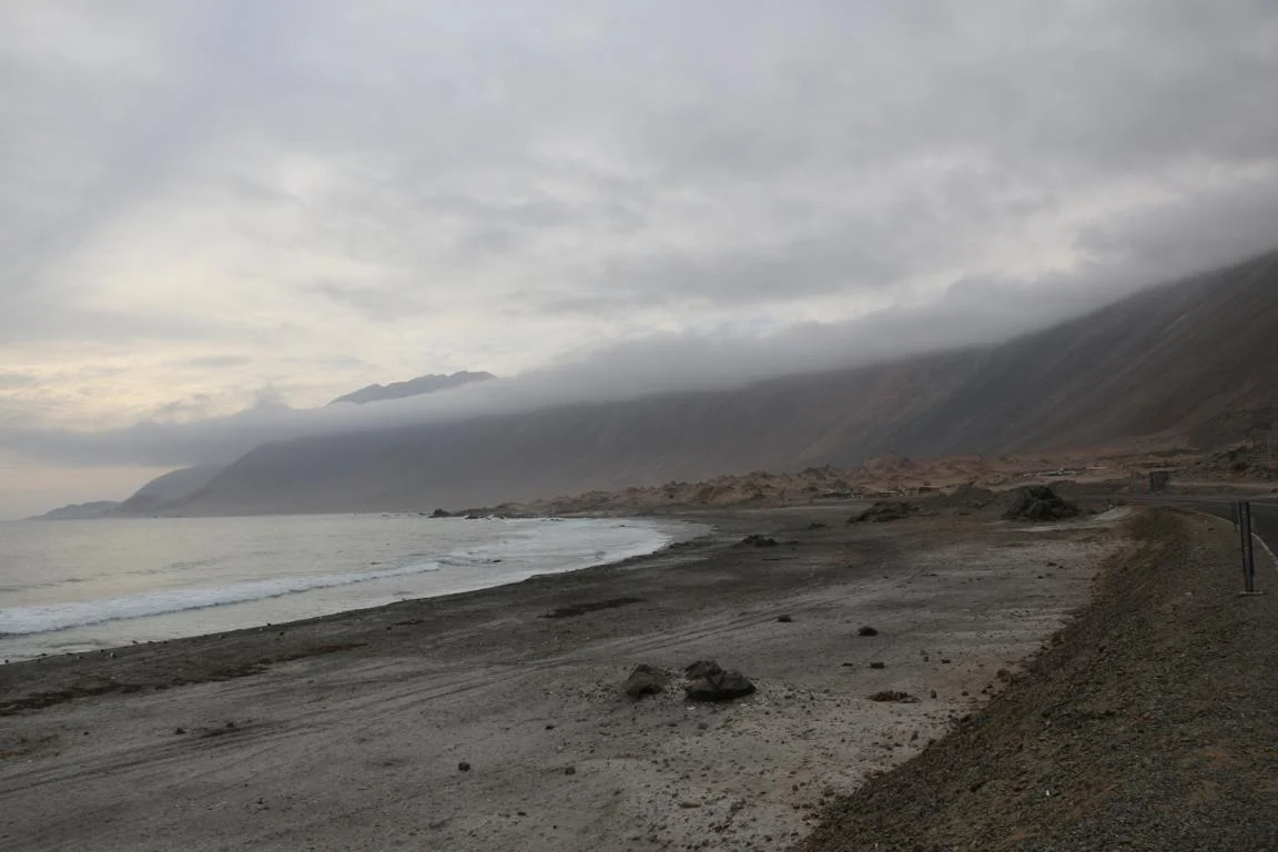
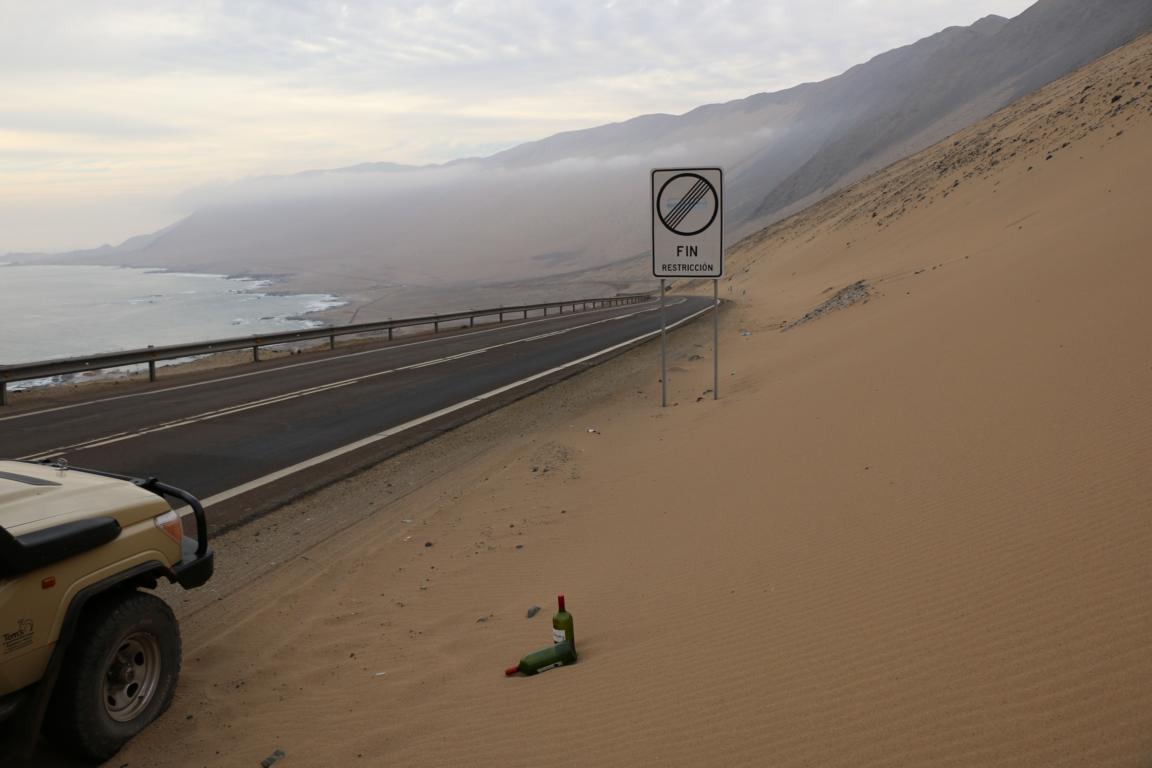
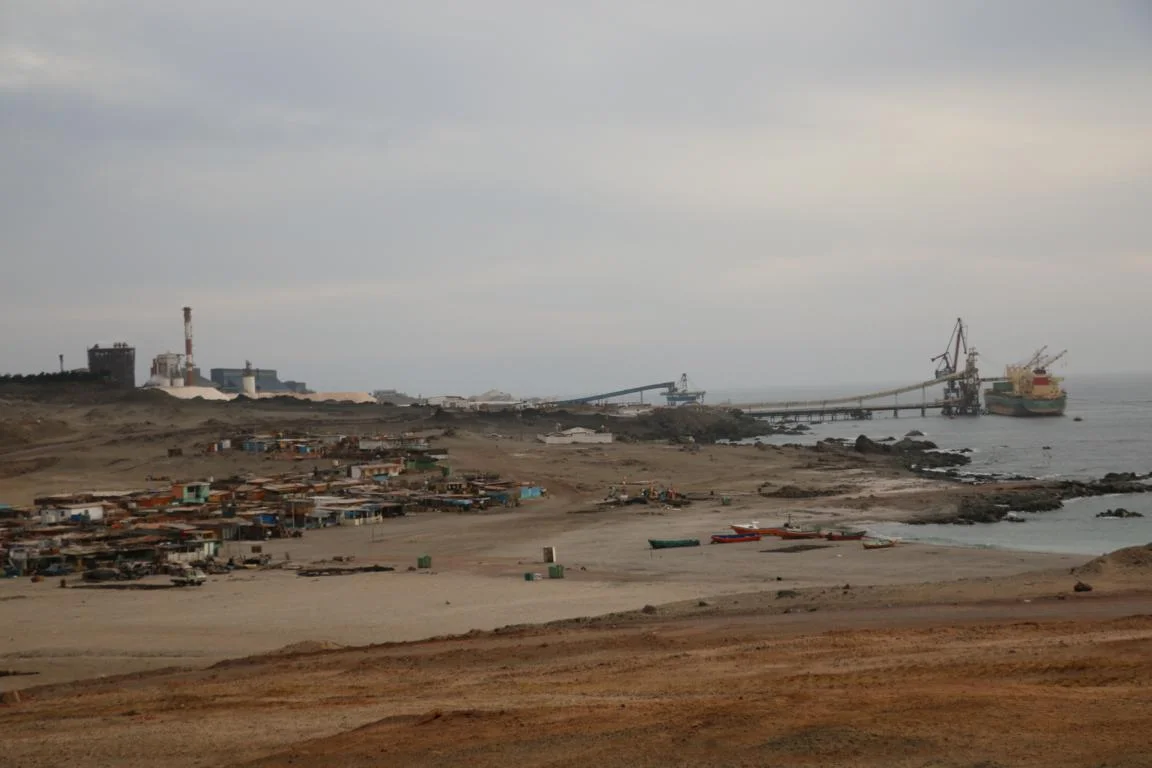
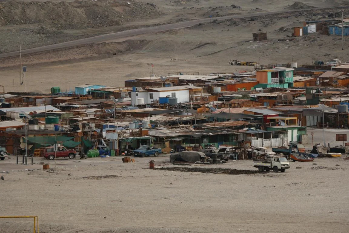
The 350 km long costal road from Antofagasta to Iquique leads through a barren strip of earth without any vegetation. Also here are a large number of active or abandoned mines. When a mine will be closed all what remains are the graveyard and the old mine roads. Most of the graves of this abandoned cemetery date from before 1916.


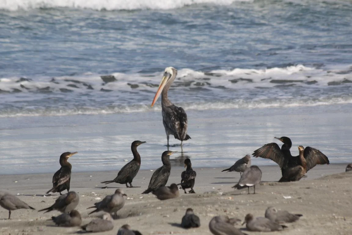
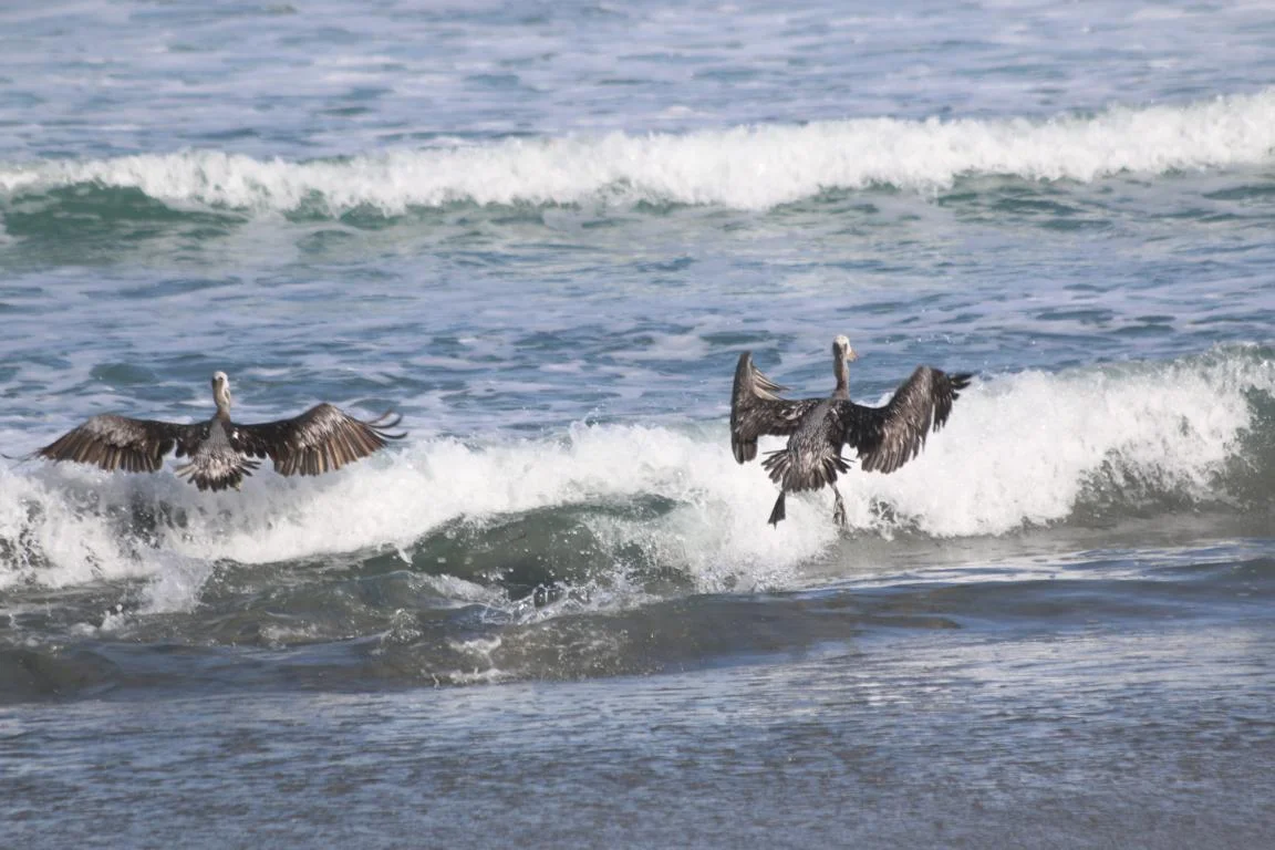
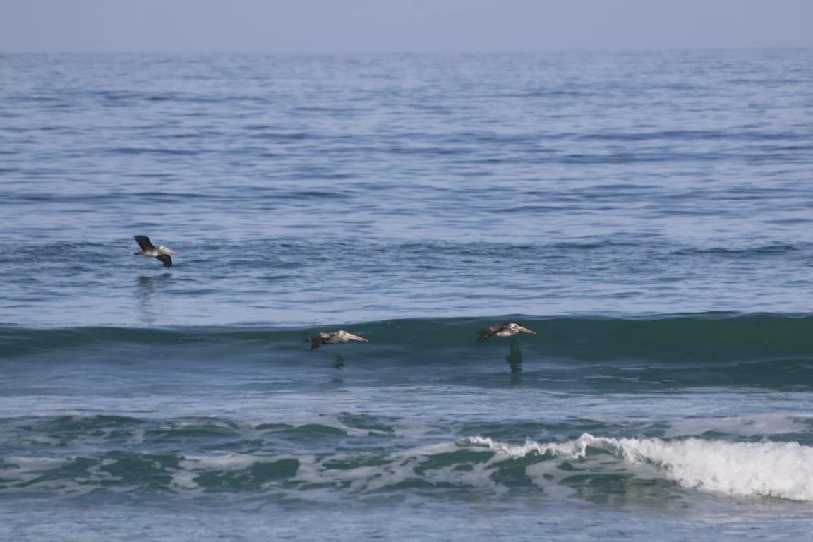
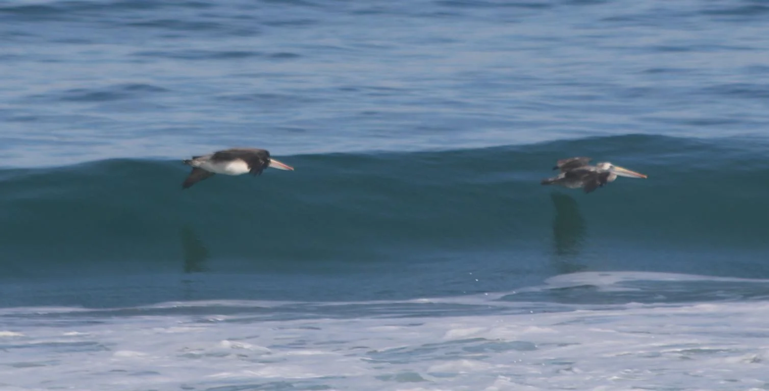
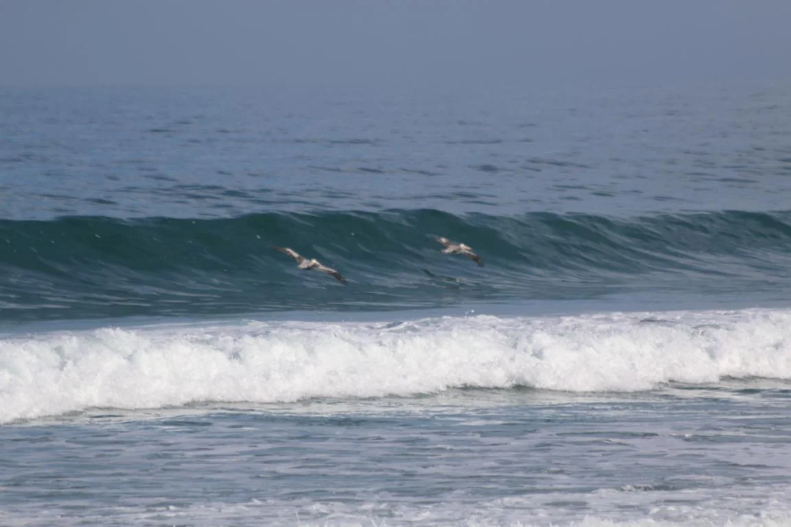
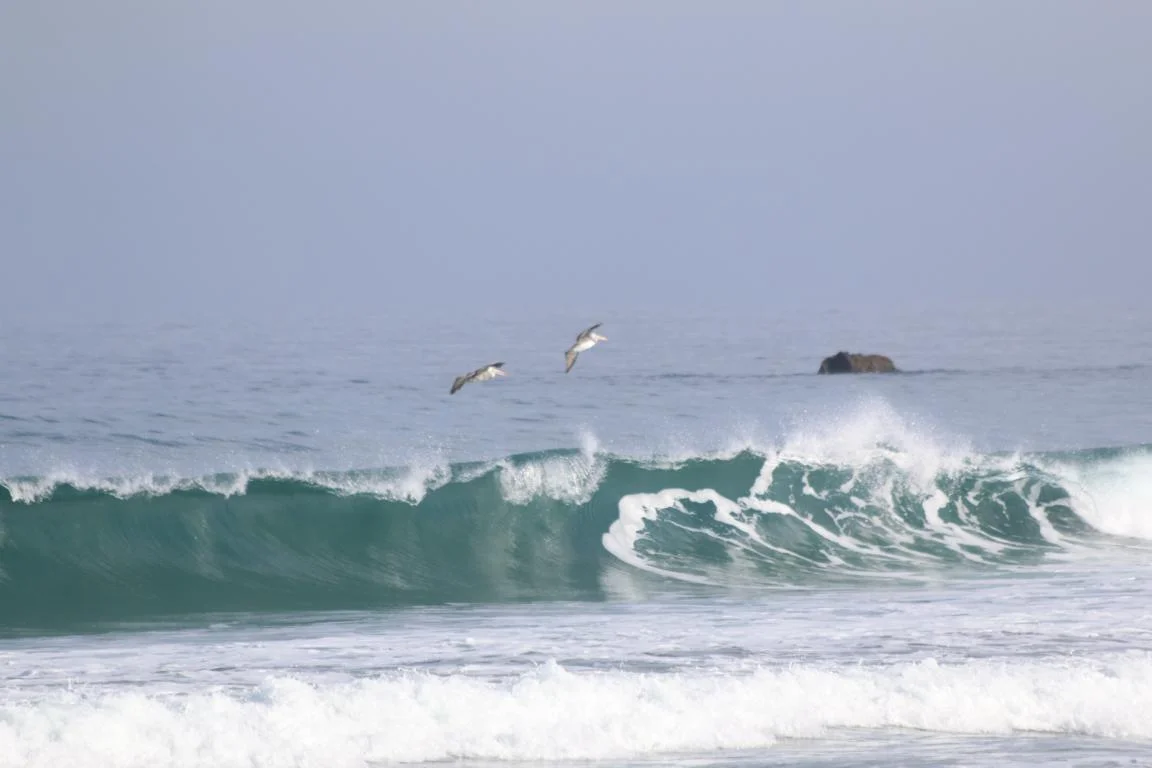
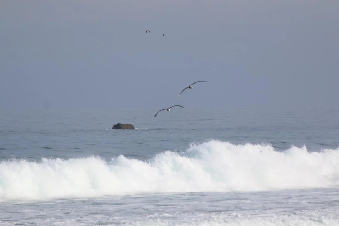
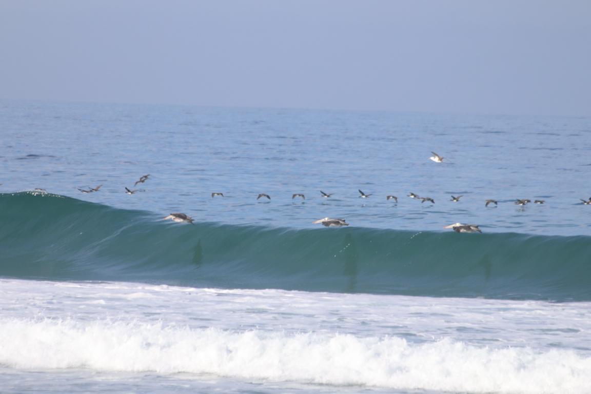
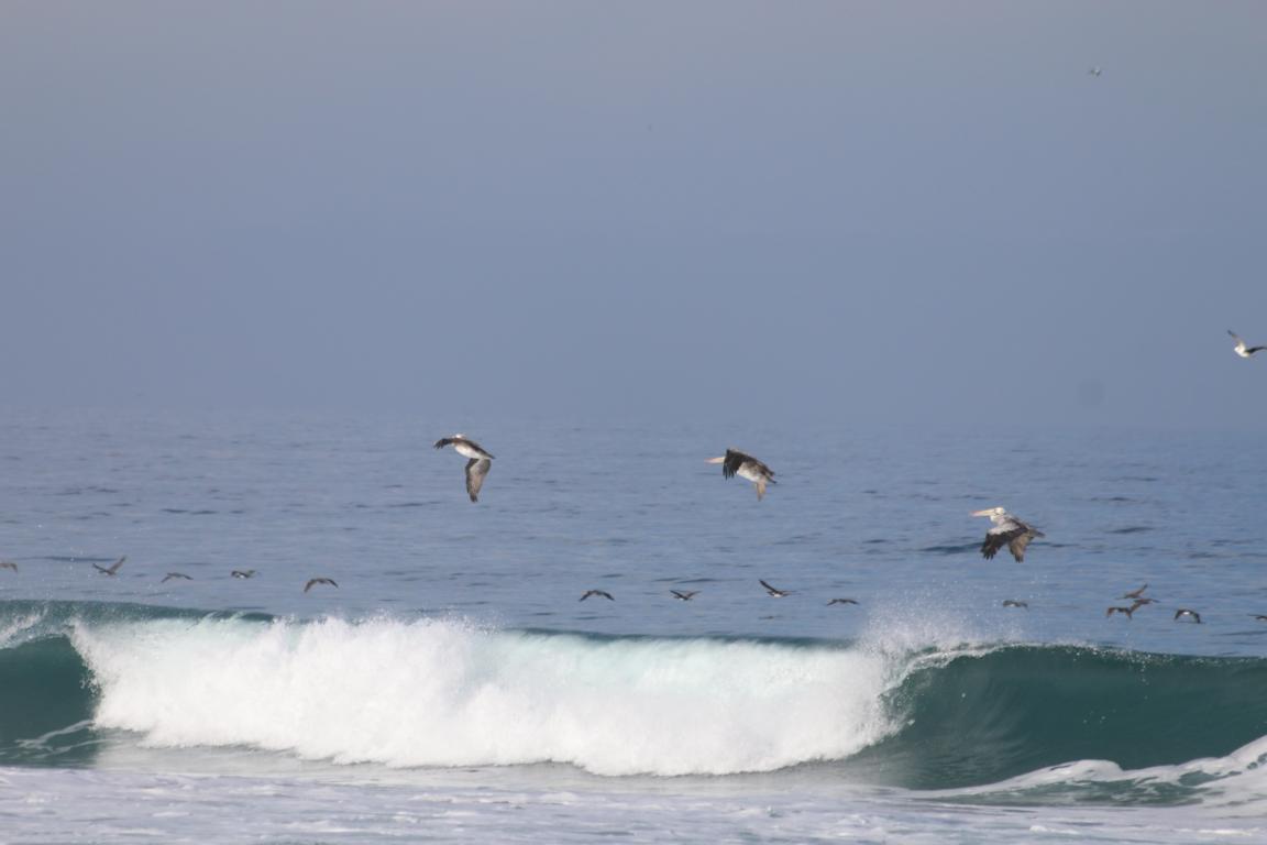
Pelicans are excellent flyers. In search for fish they take advantage of the dynamic wind in front of a wave to soar hundreds of meters only centimetres above the water surface. When the wave finally breaks, they use the up-lift to gain altitude to ride the next wave.
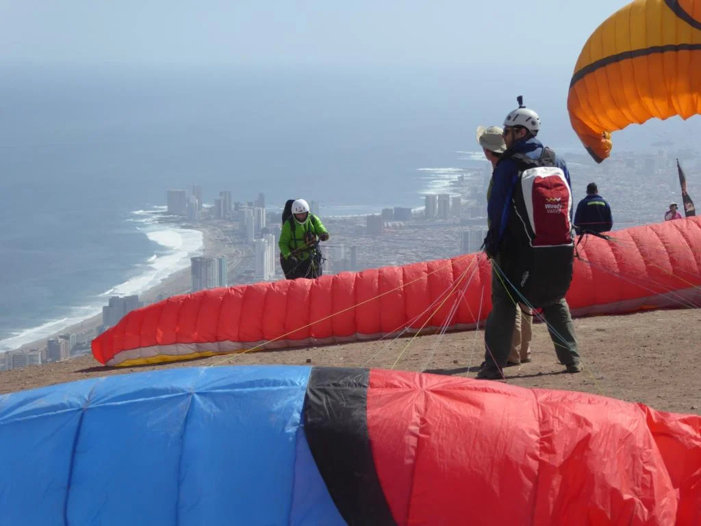
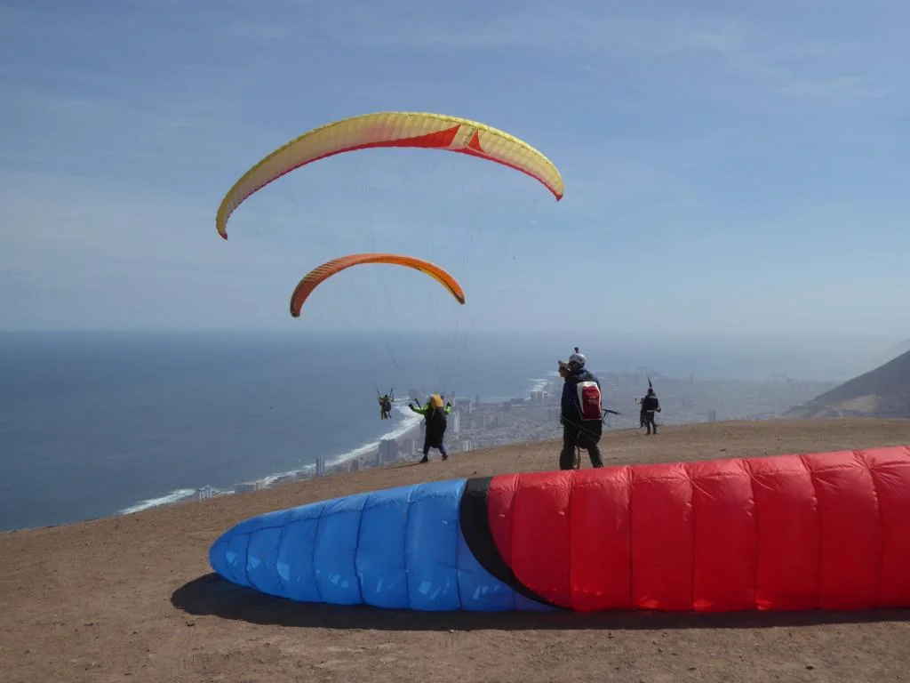
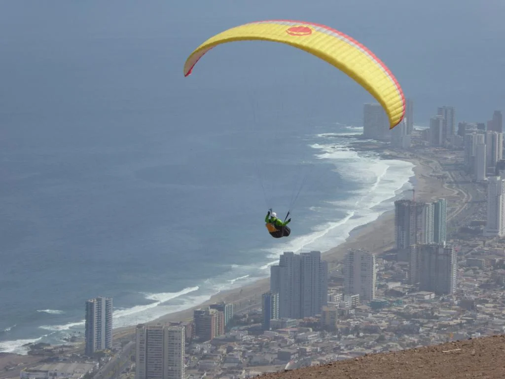
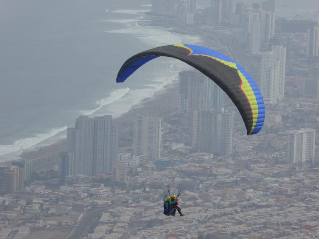
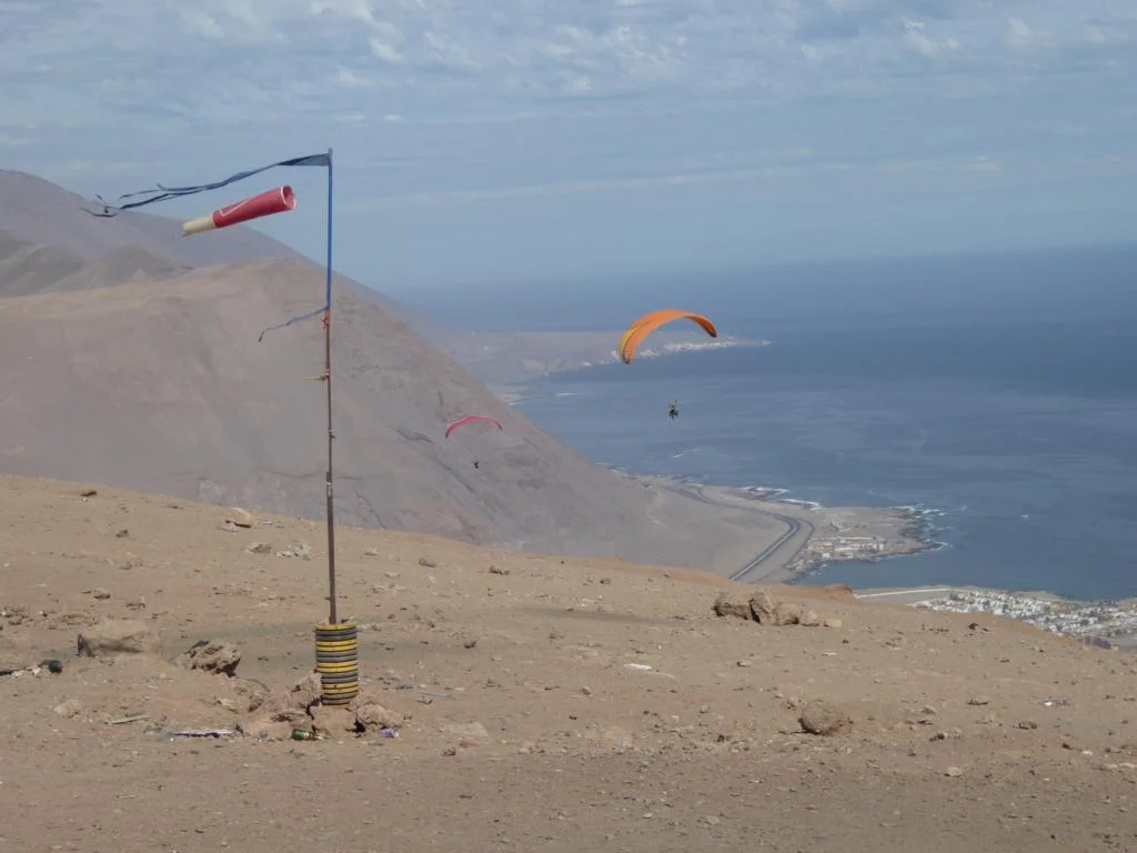
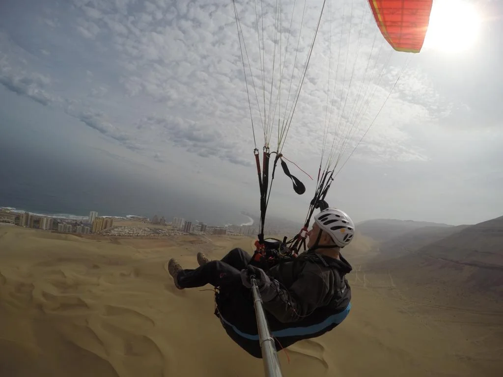
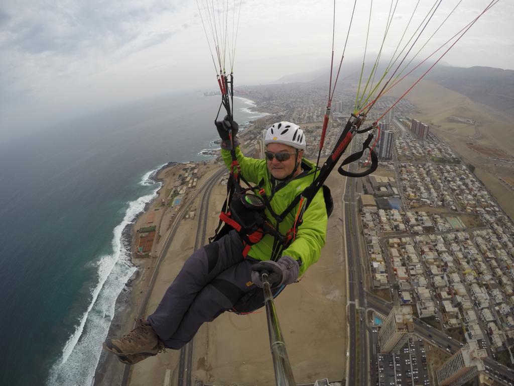
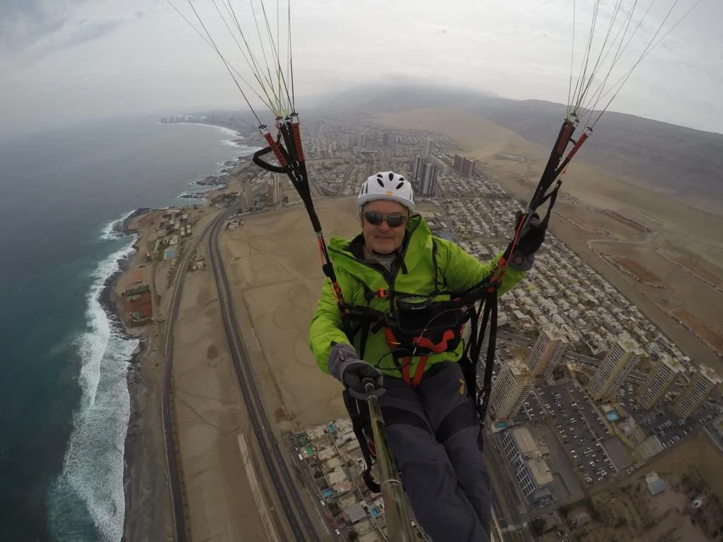
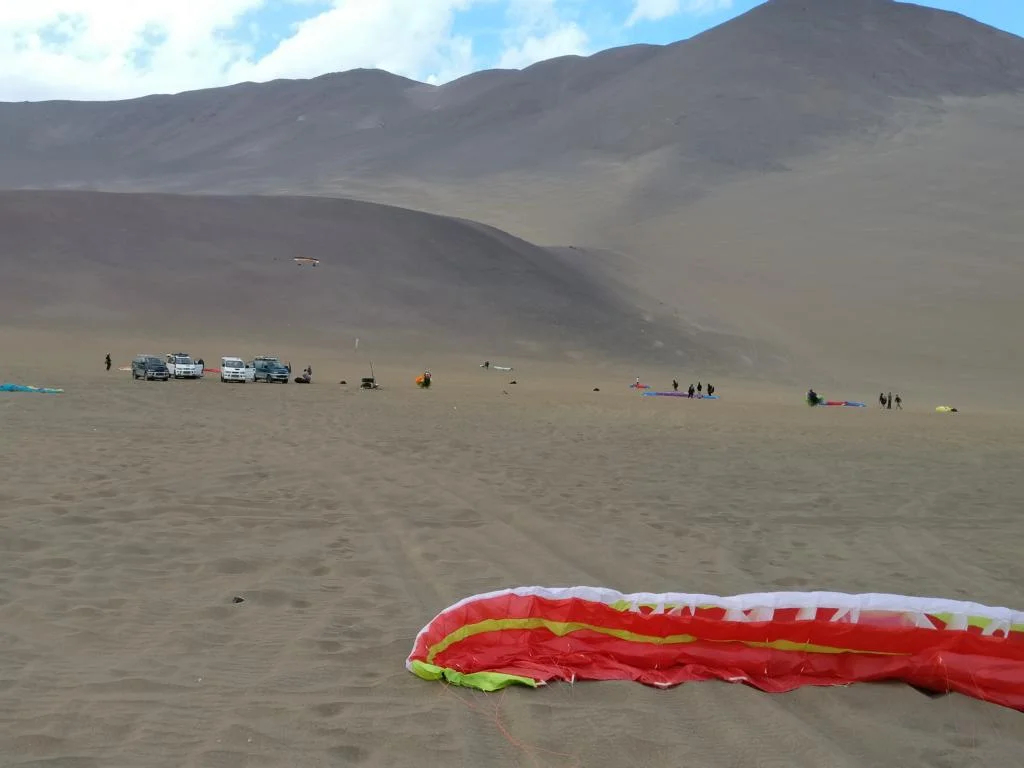
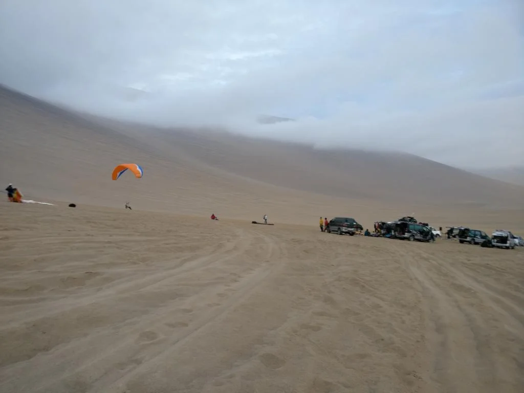
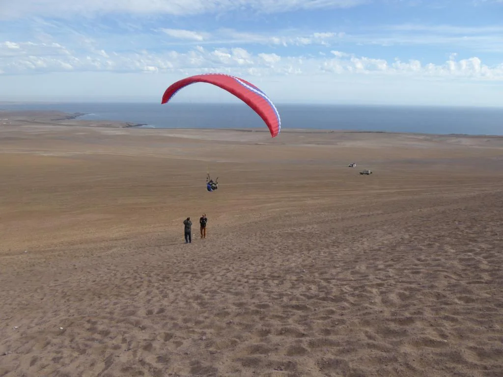
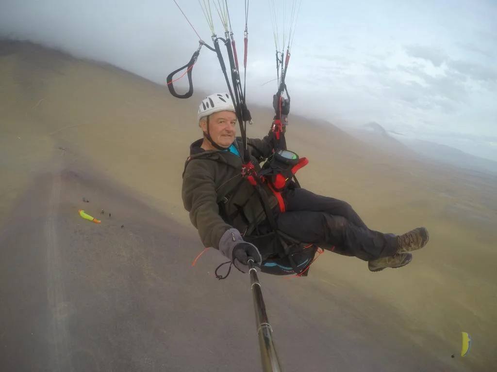
Behind the town of Iquique starts a 450 m high sand dune which offers a world renown paragliding site. One can fly right above the city or some 20 km south at a place called Palo Buque.
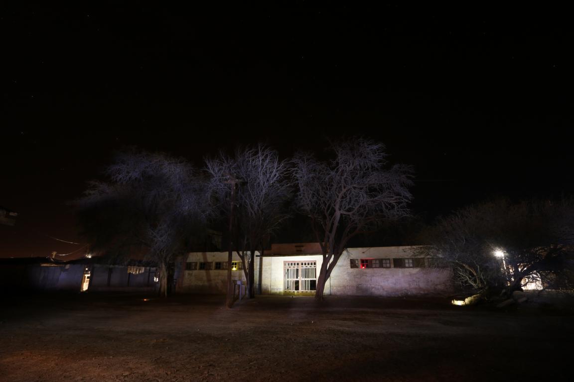
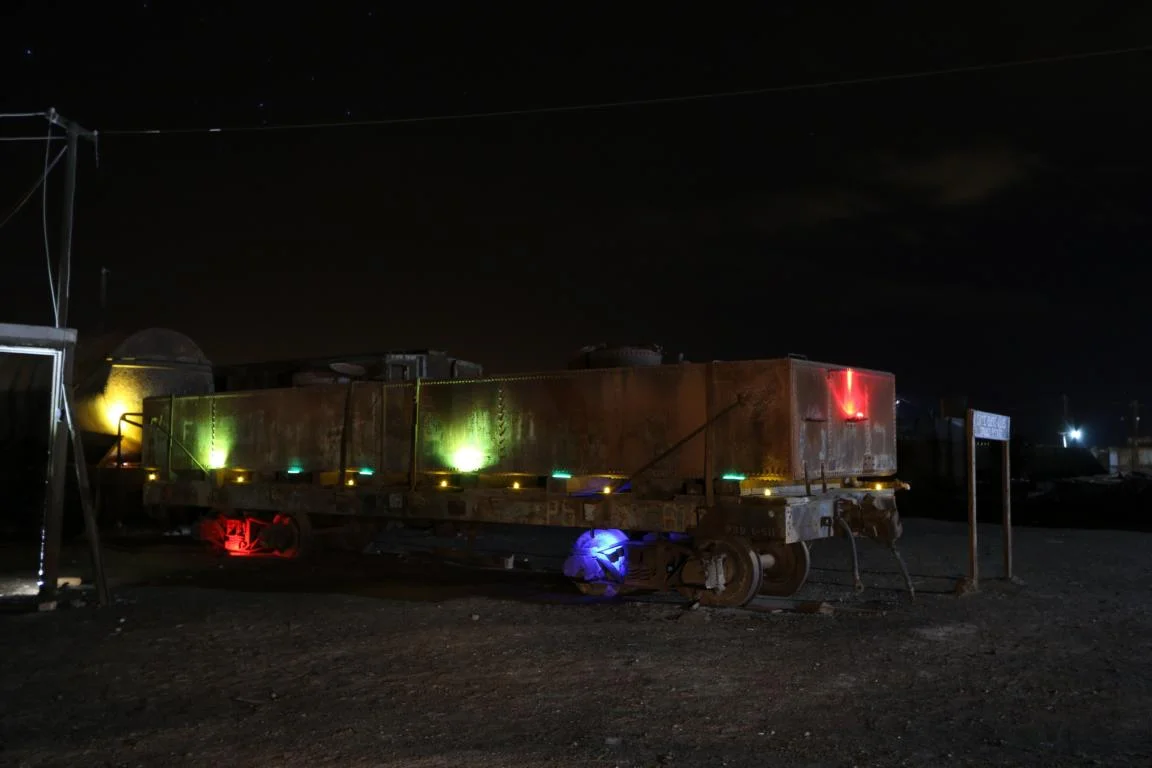
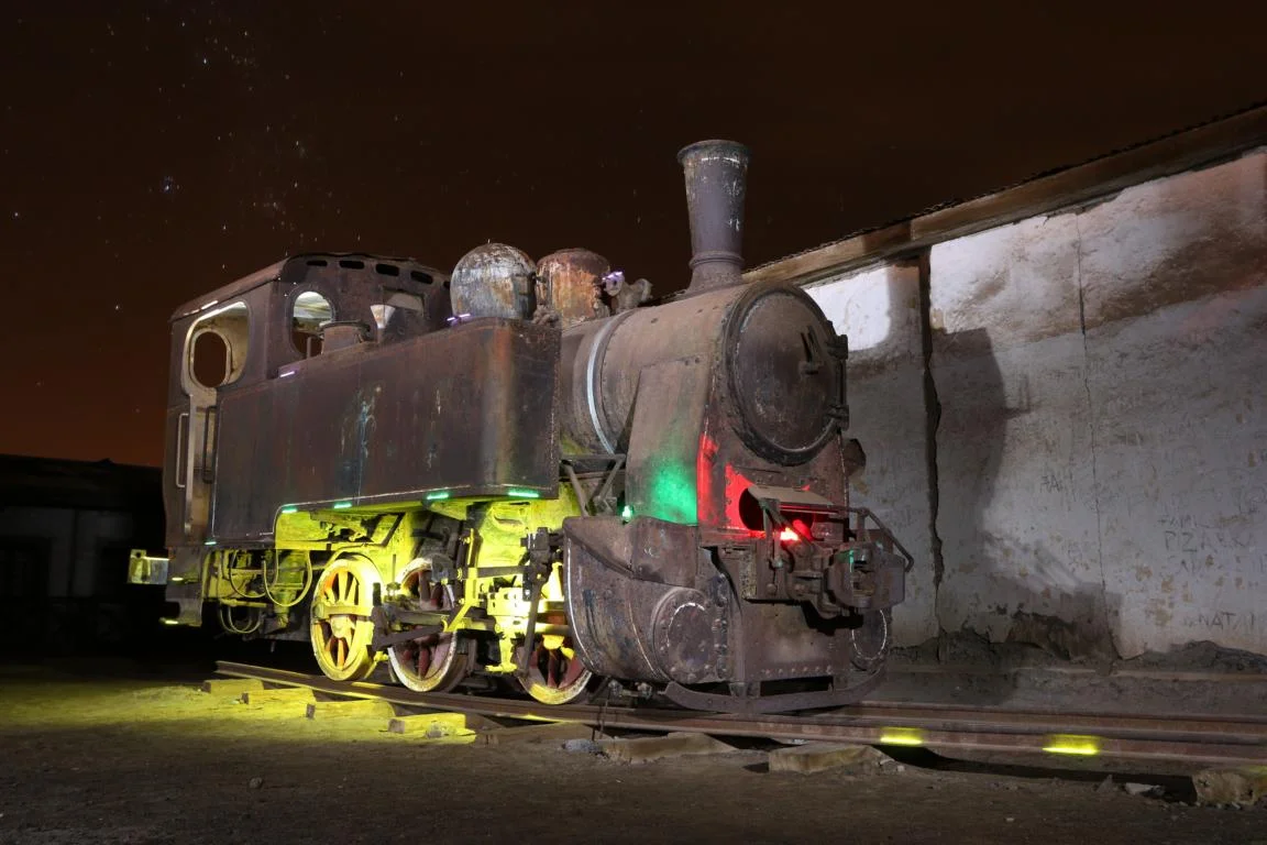
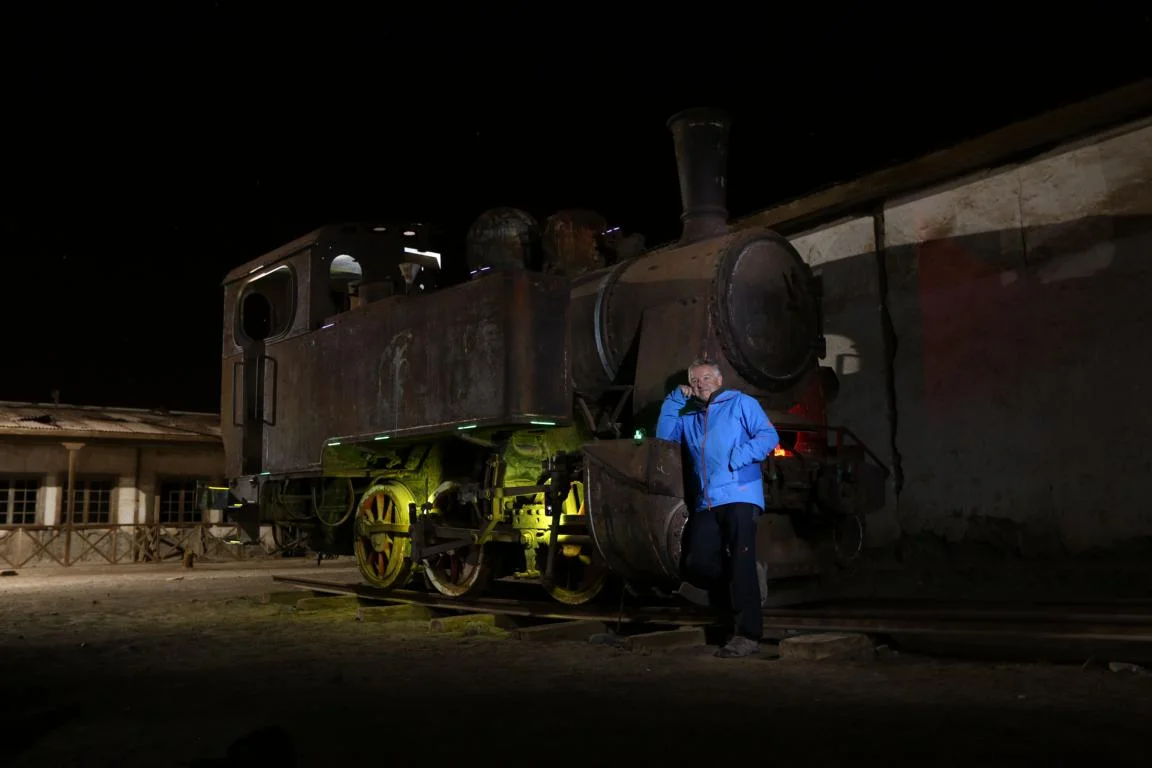
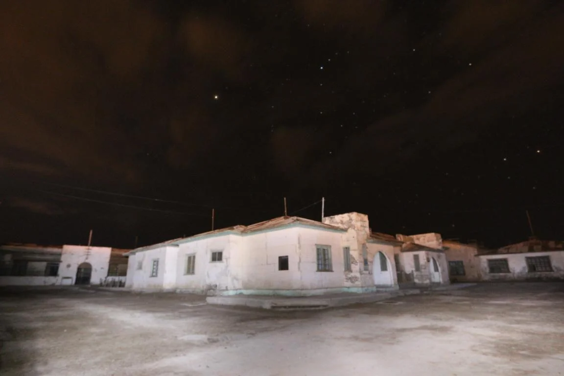
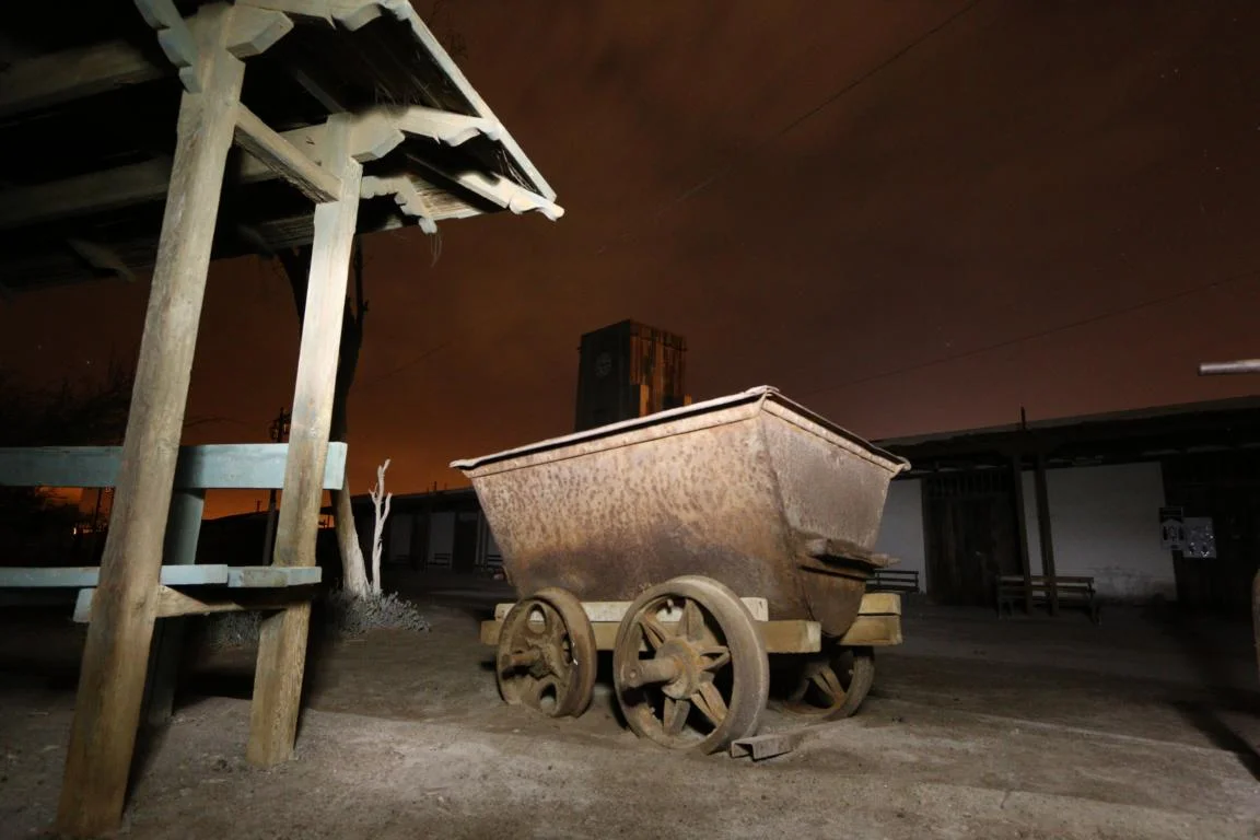
I had luck to make friends with Mauricio, a professional photographer from Iquique, who took the time to provide me with a crash-course in night photography at the abandoned Humberstone saltpetre mine, 50 km east of Iquique. See the results of my first baby-steps…
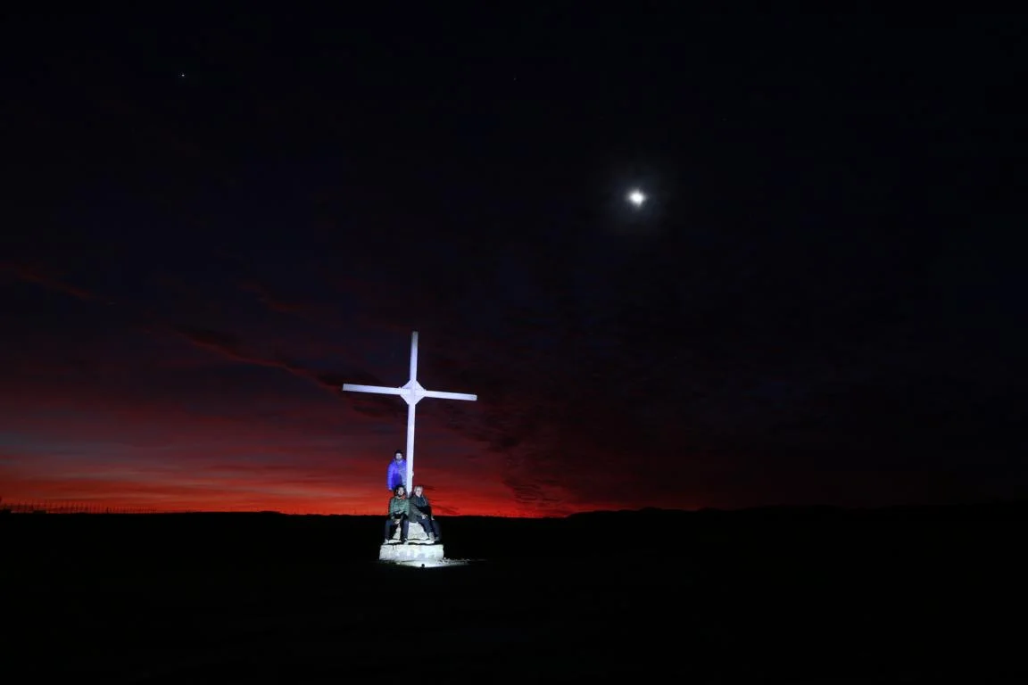
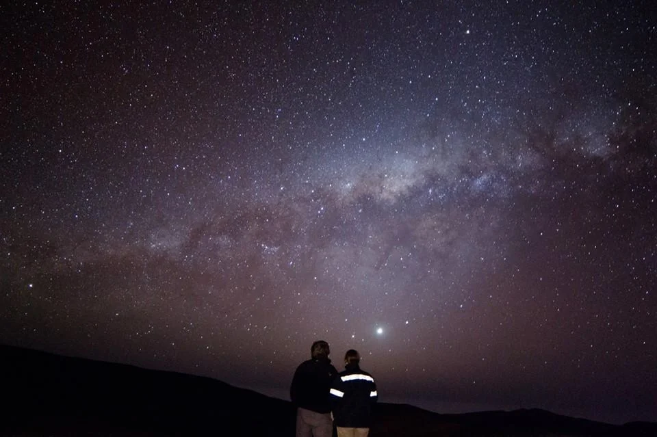
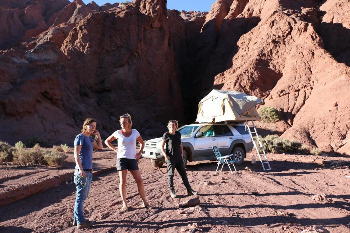
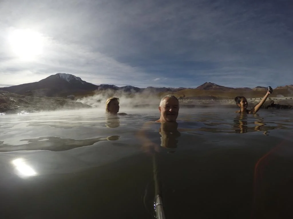
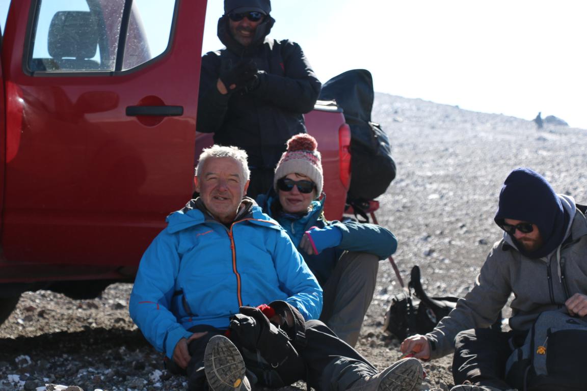
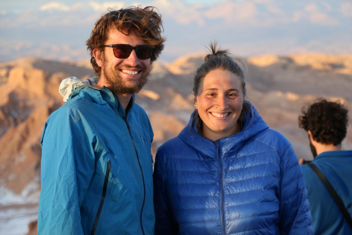
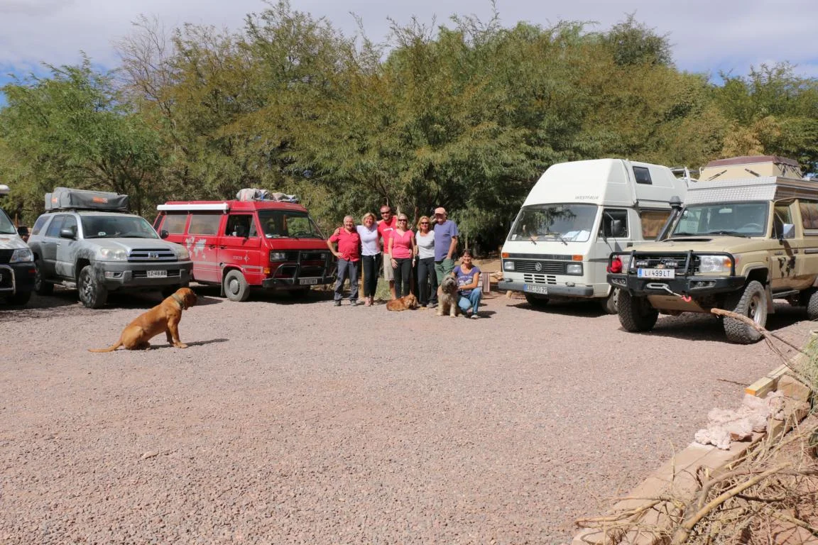
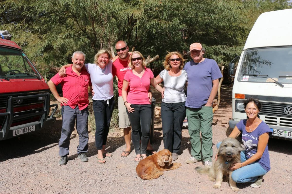
Meeting old friends. In San Pedro de Atacama I met old friends: Sarah and Freddy are the British couple which crossed the 4,995 m high Abra del Acay Pass by bike (link). Hedda, Helmut, Mirjam and Martin, I had first met in February in Ushuaia (link) some 6,000 km south from here. Alexandra (white T-shirt) and Gitta (blue T-shirt) are two women, who are both travelling alone in their mobile homes through South-America.
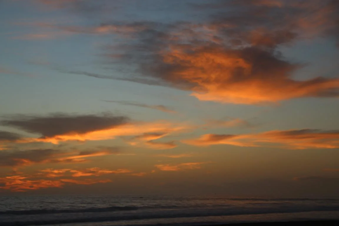
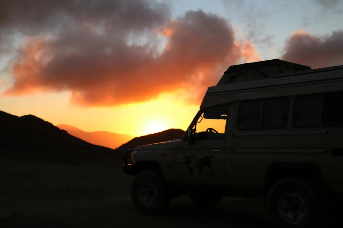
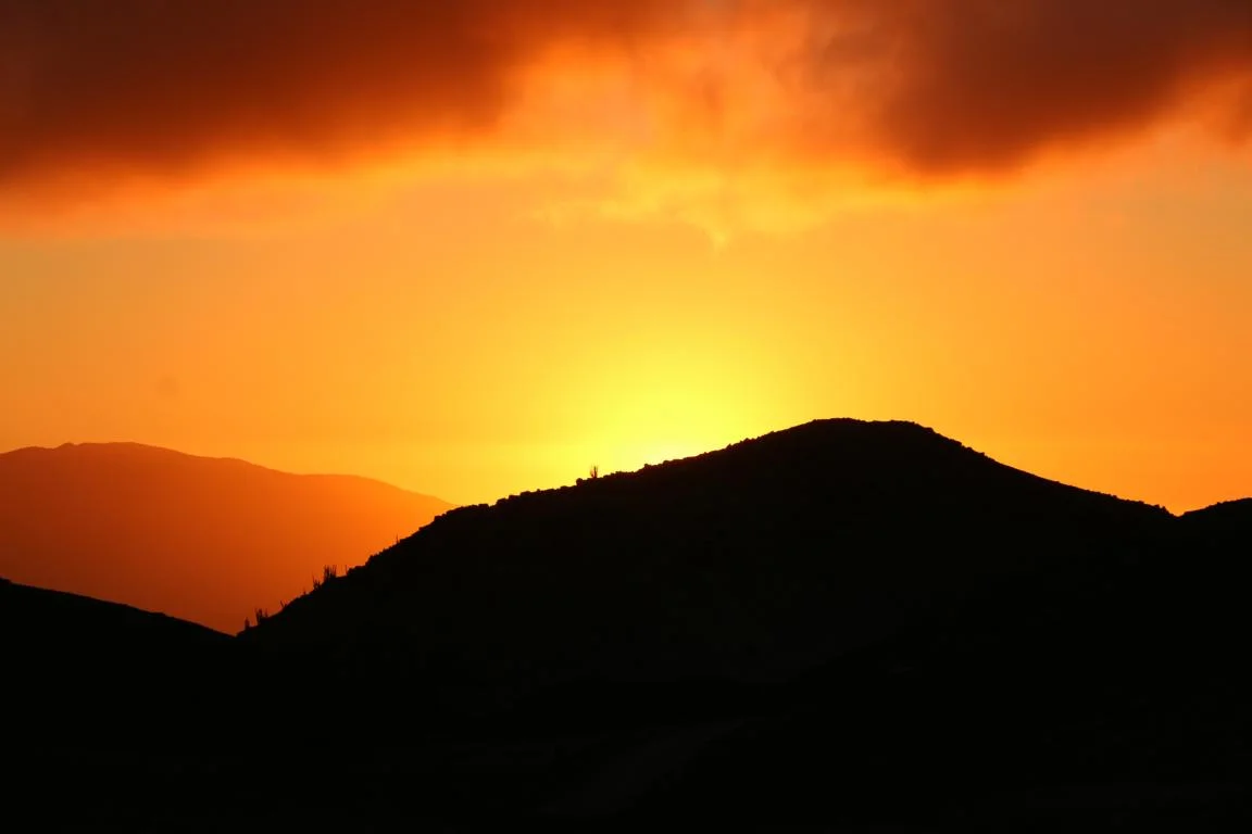
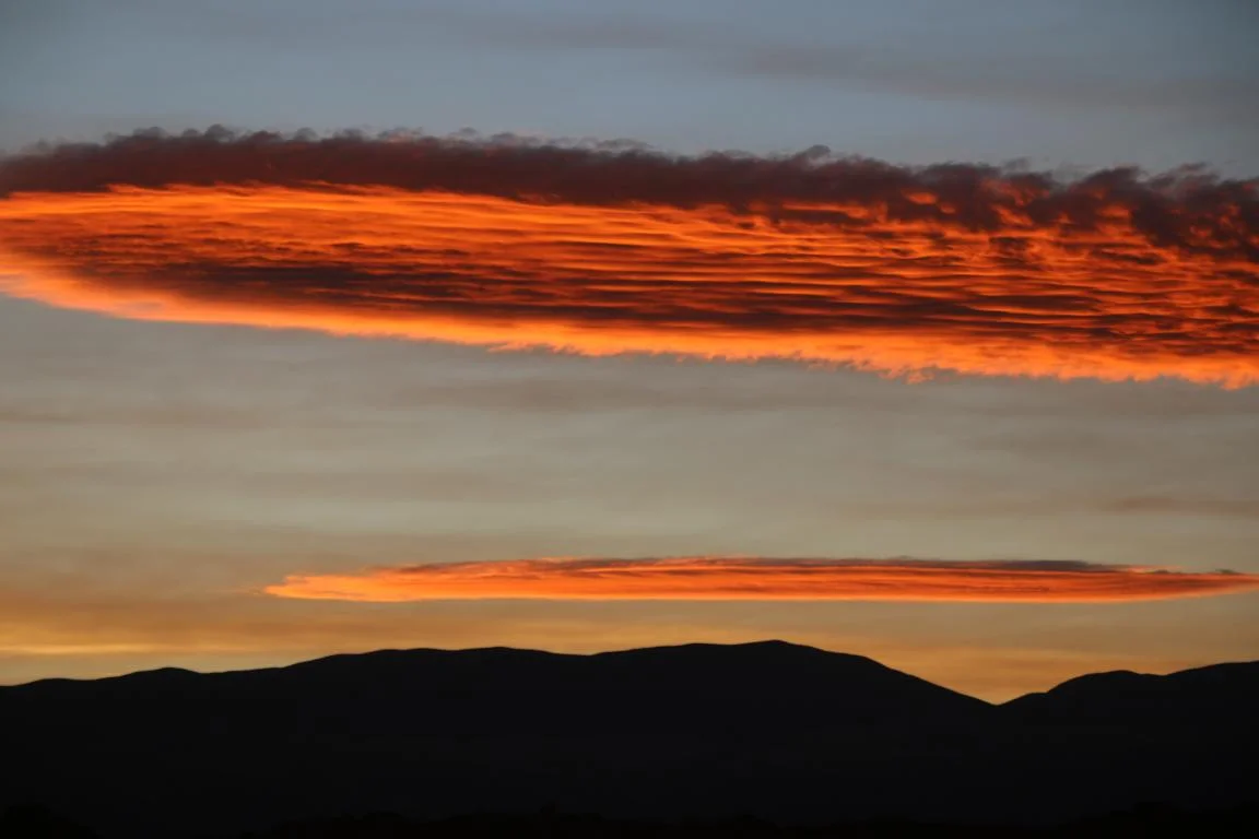
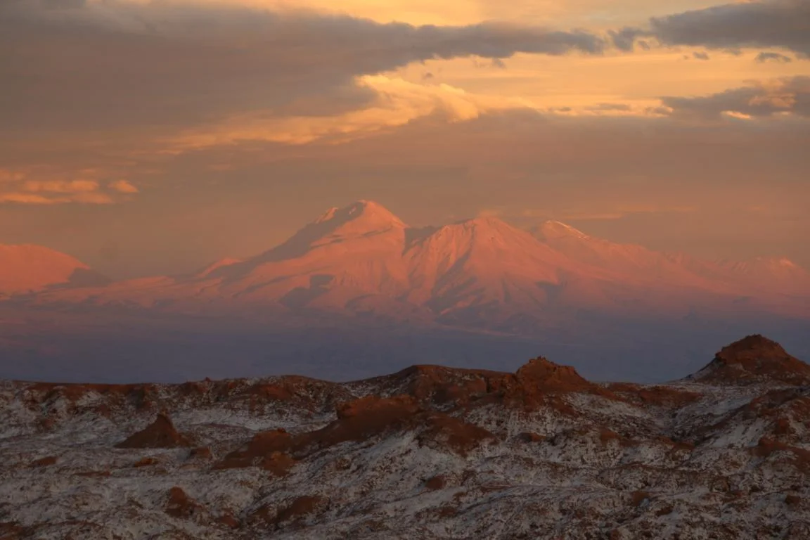
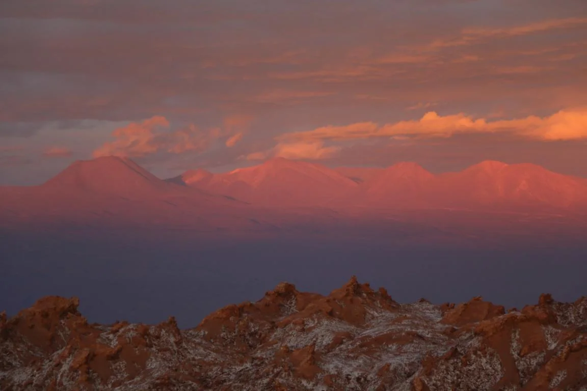
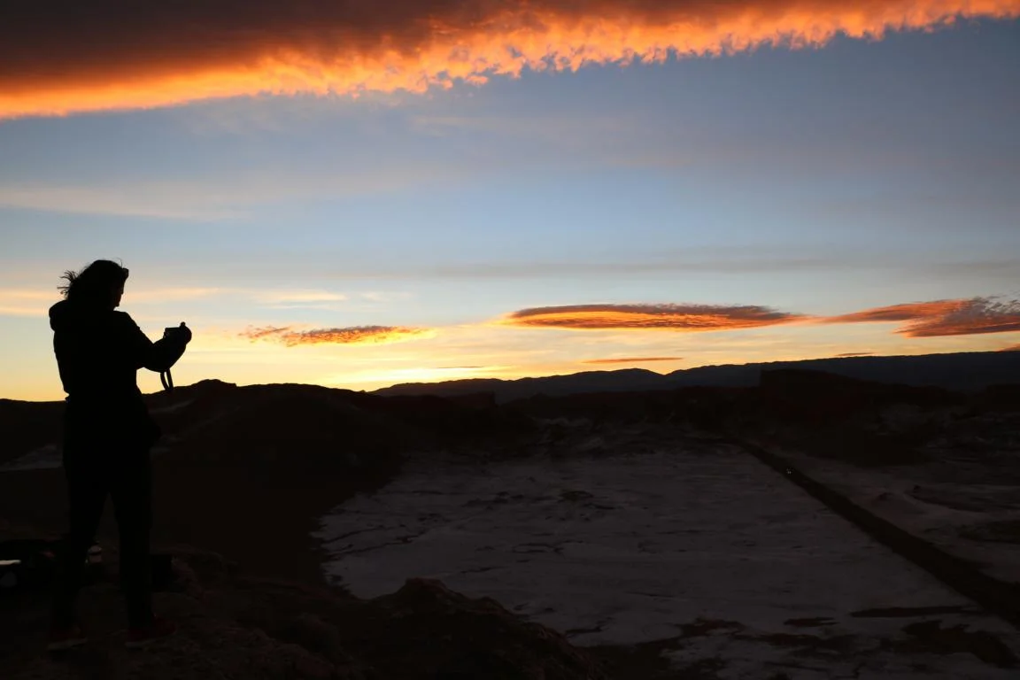
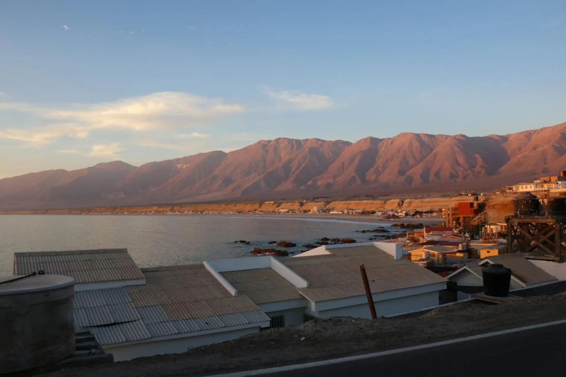
Finally – as usual - sunsets, sunsets……